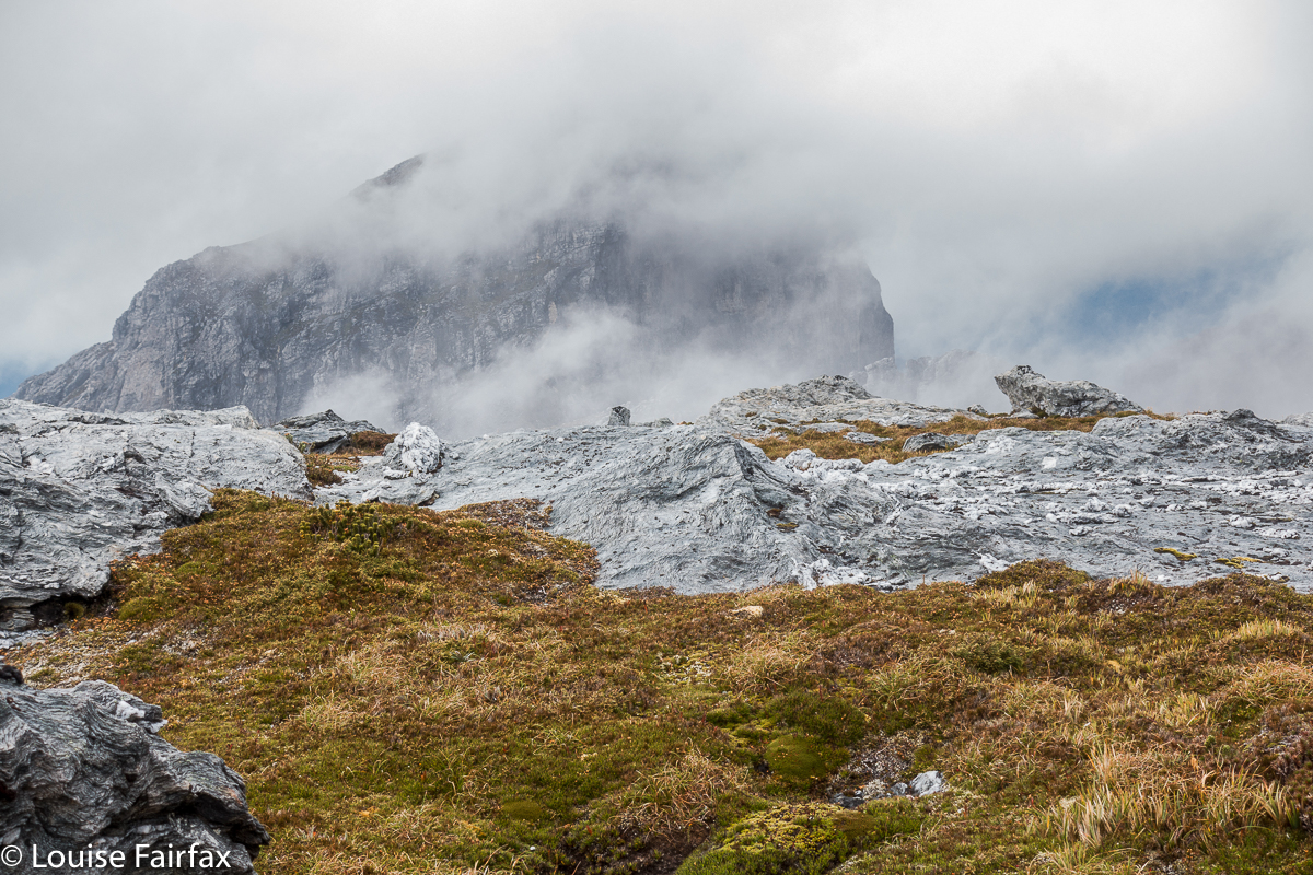
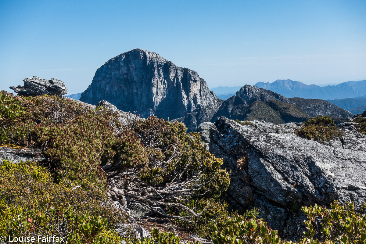
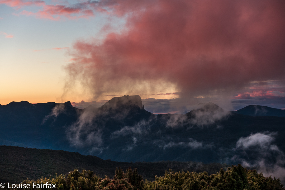
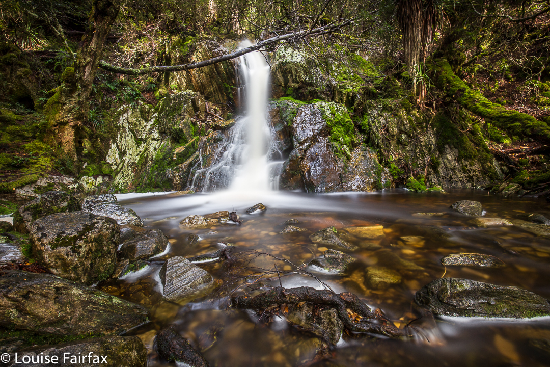
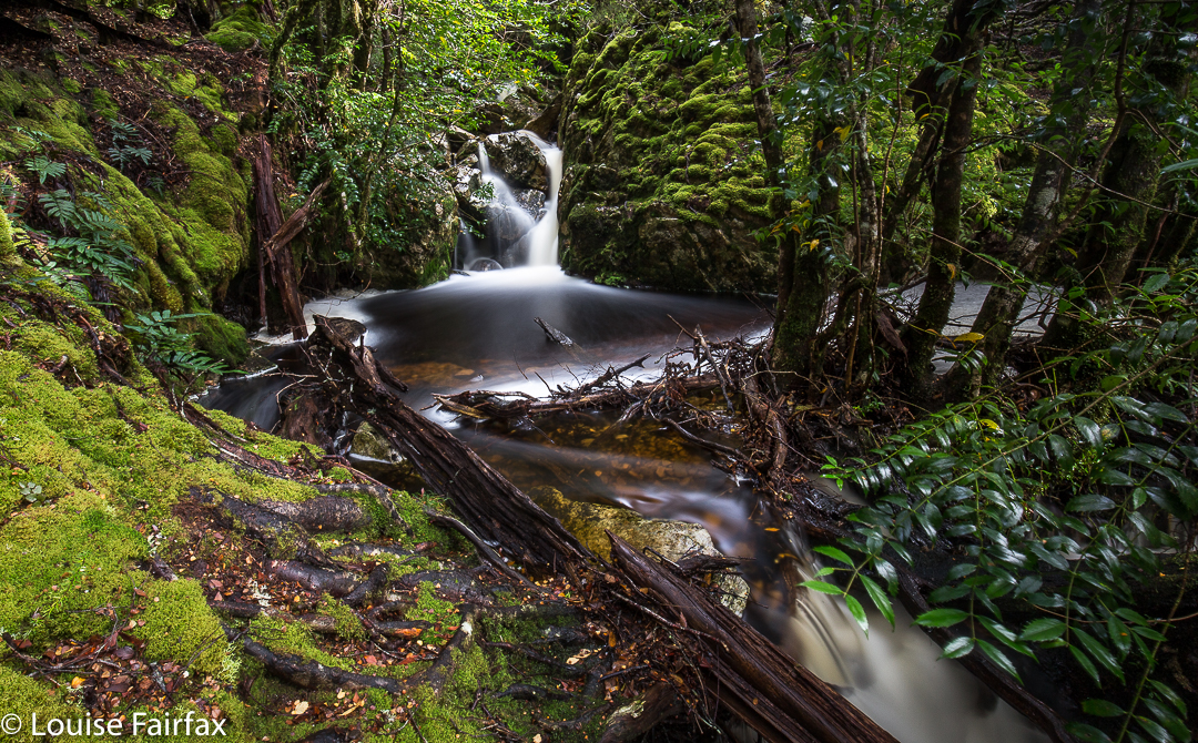
Mt Maria, 11 June 2017.
On Sunday, Bruce and I joined in the LWC climb of Mt Maria, mainly for sociability reasons, but, as is often the case, subsidiary benefits followed. Now, there are some vocal members within bushwalking circles who are disdainful of walking clubs and people who climb mountains in such groups. Certainly, Sunday’s LWC ascent of Mt Maria could be taken as an example of what happens in a club that seems to rankle these people. Oh. Goss. What happened? Do tell.
Well, what happened was that a guy who has advanced Parkinson’s disease, who could never get up such a mountain unaided (or even with just the help of his wife), stood on the summit; so did a different fellow, aged 74, who has had two hip replacements; and so did a lady rather new to bushwalking who thought she lacked the fitness.
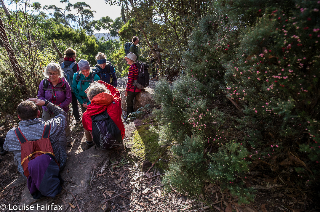
Oh dear. Are clubs full of people like that? No. These people are the beneficiaries of other able-bodied, strong, agile, knowledgeable and extremely helpful and selfless people who see them through moments of difficulty, who also make up the numbers of a club. Without the strong and talented bushpeople in clubs, the less experienced or gifted (in bushcraft) members would not have the opportunity to learn and grow, and to experience for themselves the thrill of a summit, and the sense of achievement gained by standing on the highest point. In a club, a summit is often (although by no means always) a team effort. And the recipients in this context can often be the donors in another.
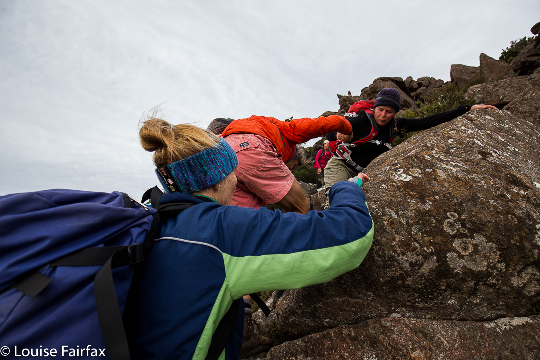
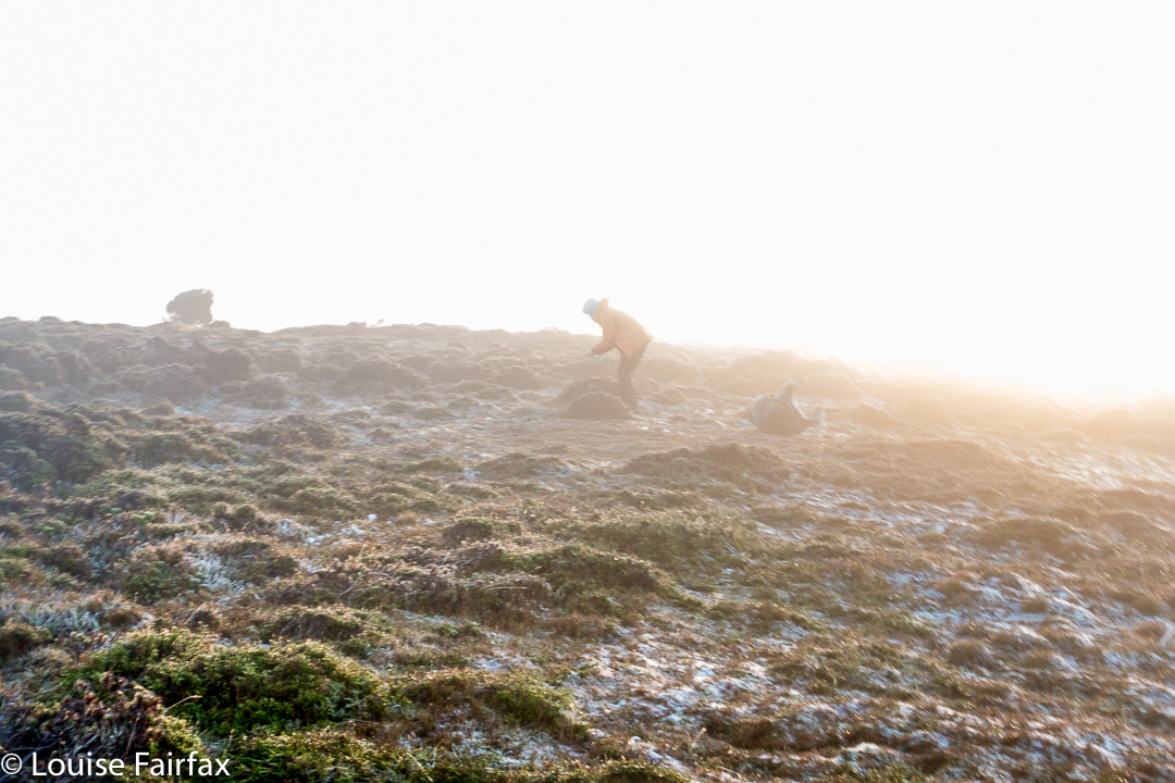
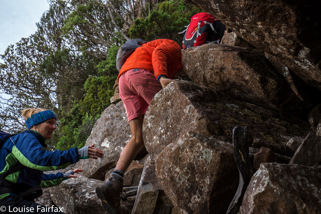
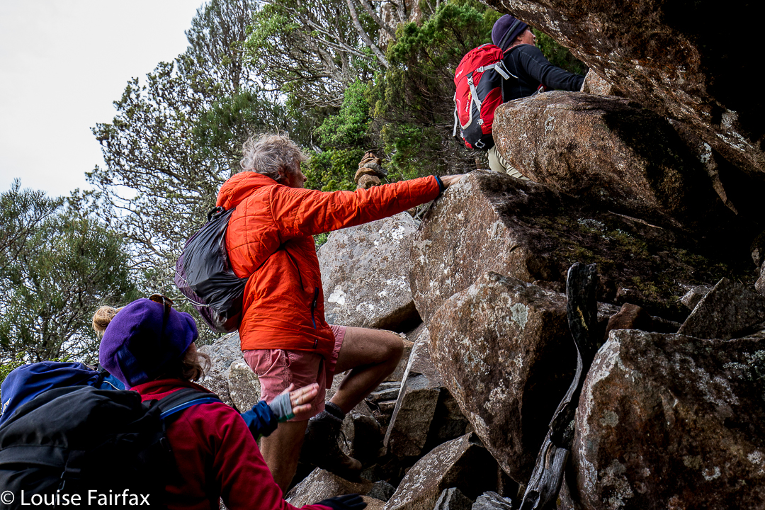
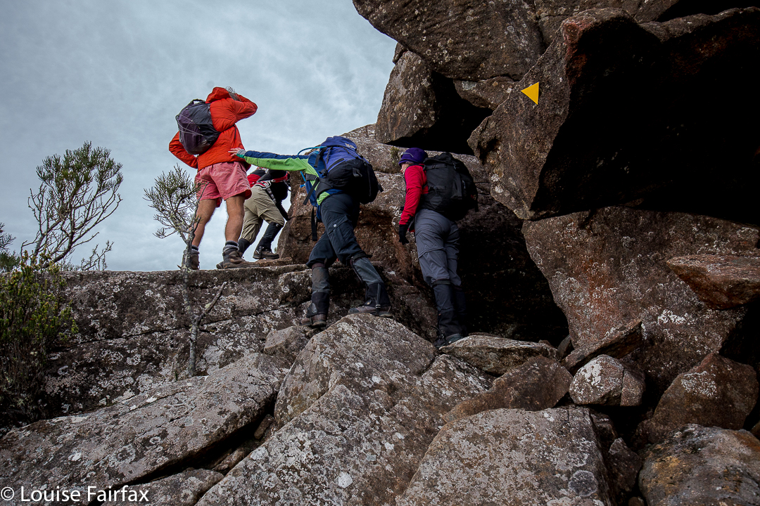
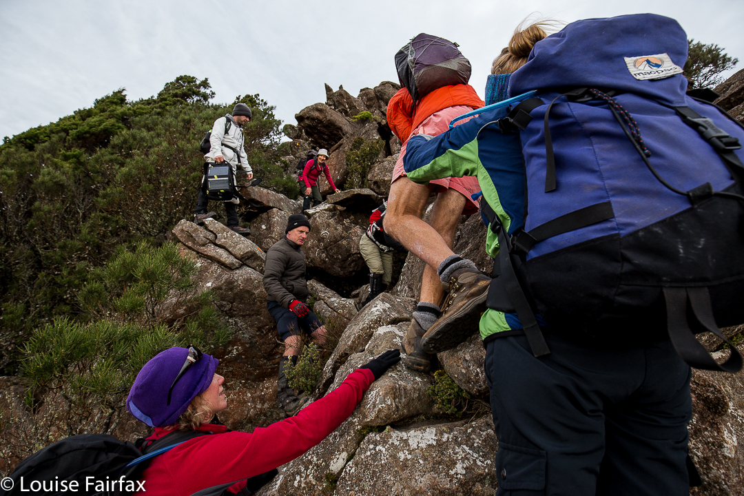
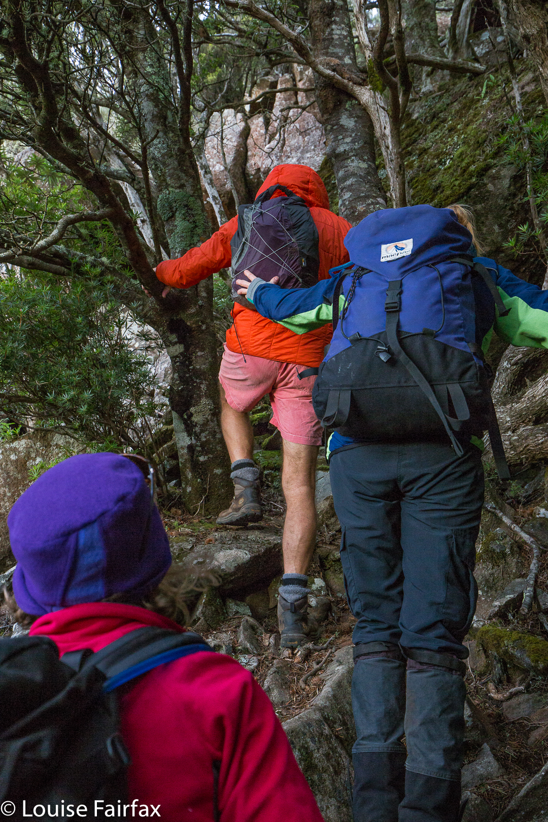
This is definitely a pull and push job
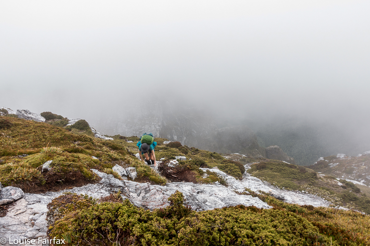
My husband is the one with Parkinson’s disease. He took every step up the mountain himself; no one carried him as such, and he can say to himself that he climbed this mountain, and feel justifiably proud. However, my pictures of his ascent nearly all have images of other people’s hands: hands from in front in case he needed steadying or a pull; hands from behind or the side to guard against him falling. Mostly, he was unaware of these hands, but I was not. Elitists, is it so very shocking that this man can say he has climbed Mt Maria? (In fact, he is not a peak bagger and wouldn’t bother saying it, but you know the principle I am adumbrating here. )
If Bruce were doomed to only summit what he could get to solo, or what I could get him up, his options would be severely limited, and his life greatly reduced in quality. He used to be a man who could summit all manner of mountains, and to be a leader in bushwalking circles, but then a chemical aberration in his brain changed everything, and now he is reliant on the help of others. I cannot really imagine how it must feel to have once been a proficient and daring mountain man – a teacher of bushcraft – yet now be dependent. Surely the shame is not that he gets up only thanks to the help of others in a club, but that he needs help now at all. He is quite possibly braver now than he ever was when his brain and muscles functioned to their full capacity. How astonishing that he still dares to get up mountains and to “give it a go”. Thanks to the generosity of club members, both in LWC and HWC, he can still sometimes enjoy the activity that once played a prominent role in his life.
Is it not a little selfish to think that the beautiful wild places of this earth are only for a particular kind of elite bush person, who, like a recluse or hermit, does not share his /her skills with those who are learning, or who prefer to climb in company, or who are beyond the age where they are comfortable being alone in the bush?
Clubs are like microcosms of society and, like society at large, are far from perfect. But also like society at large, they teach us to mix with all types, with those more, and those less, capable than we are, and that is good for us. We learn to tolerate and be tolerated, for however wonderful we may think we are, others may find things in us that demand understanding and forbearance. We have things that we bring to the group, but also things that we take from it. If we have stopped learning from others, then we are in a sorry state, and have begun our decline.
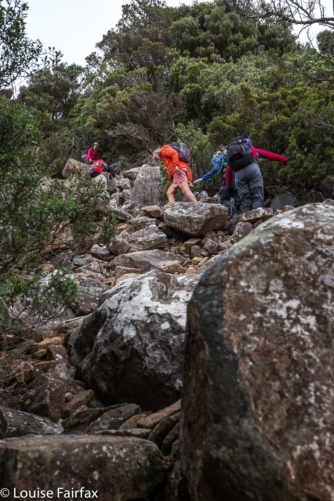
Elias Canetti in Masse und Macht wrote about the special power and energy that comes to individuals when they are part of a crowd. This can also operate at club level, where an individual will climb something difficult that they would never climb alone, precisely and only because they gain psychological and physical impetus that comes from the group dynamics. “Crowd energy” can help us to the top of challenging peaks. The presence of others can give us courage that we might not have if alone.
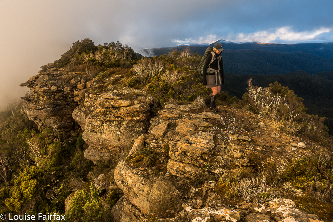
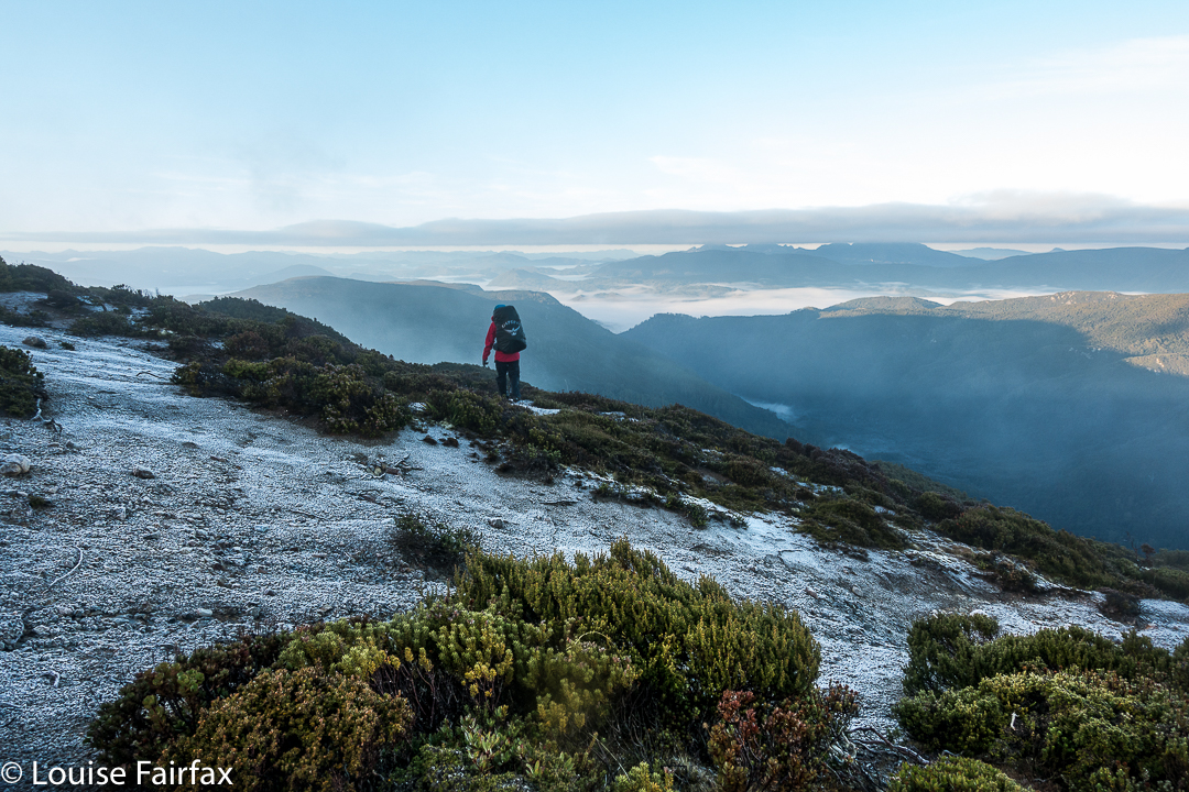
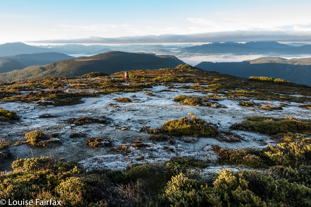
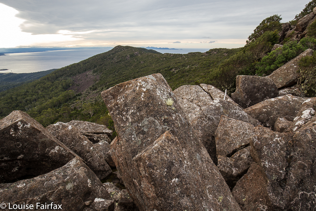
The way back down
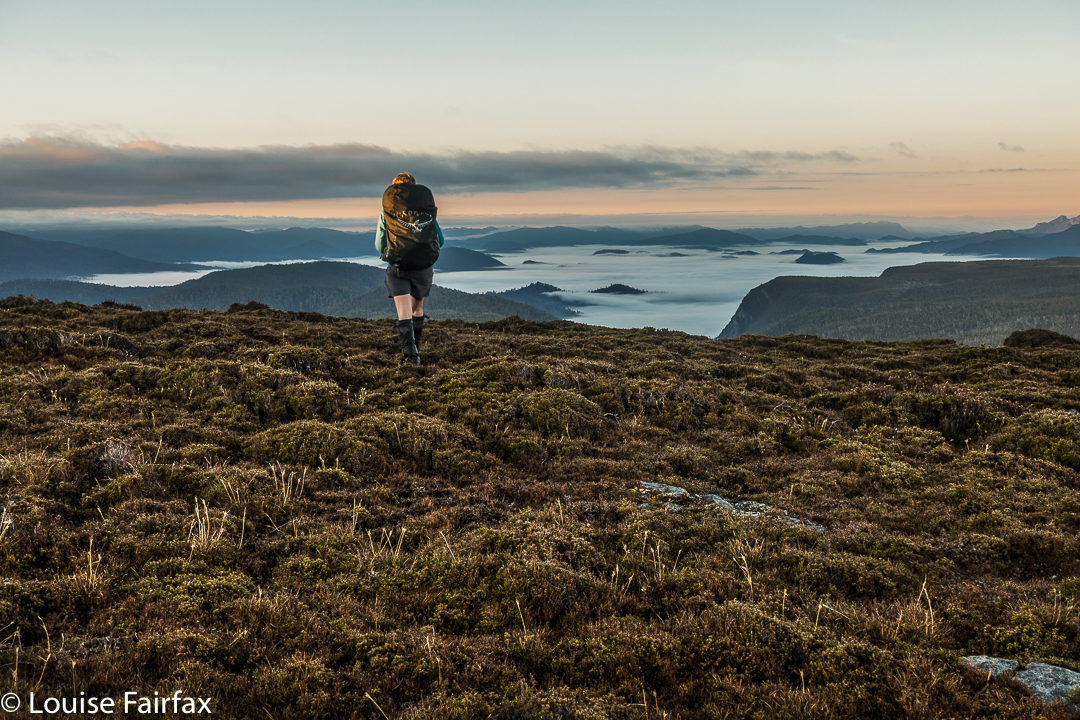
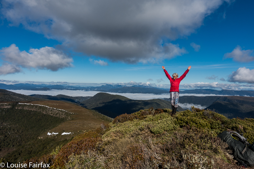
And so, I leave you with your own mental image of Bruce in the tricky sections, climbing with a hand outstretched before, and another in readiness behind, yet in a different sense, climbing “all by himself”, just as the trapeze artist performs tricks by herself thanks to the safety net below. I leave you with a beaming man at the end of the day (something very rare for Parkinson’s sufferers), for surely you are never too old or ill to fail to enjoy a sense of accomplishment when you overcome odds and achieve something different. He enjoyed being one of the group, doing what everyone else was doing. I haven’t seen him so content and satisfied in ages, and that feeling came precisely because the mountain was, for him, a demanding challenge, so he was left with the feeling, unusual for a person with his illness, that “I can do”.
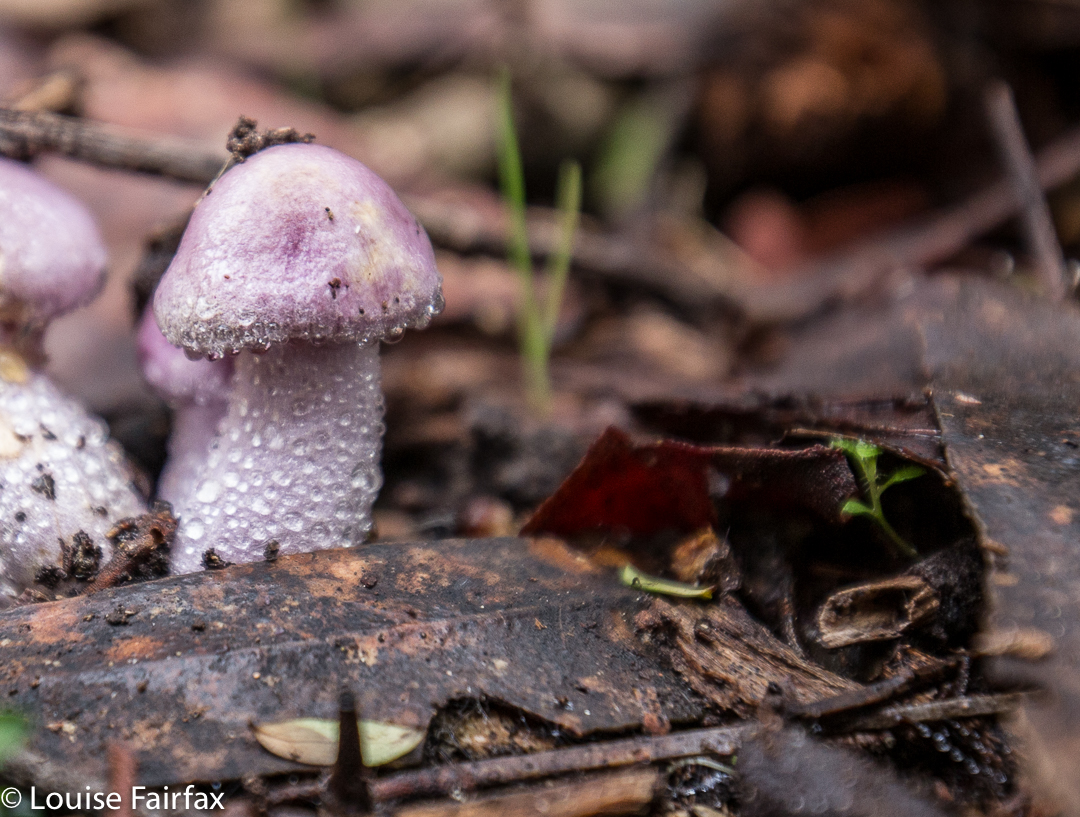
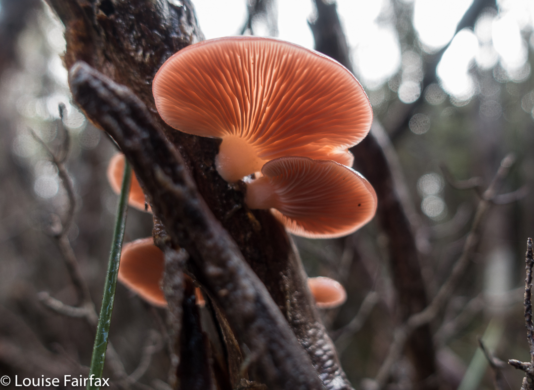
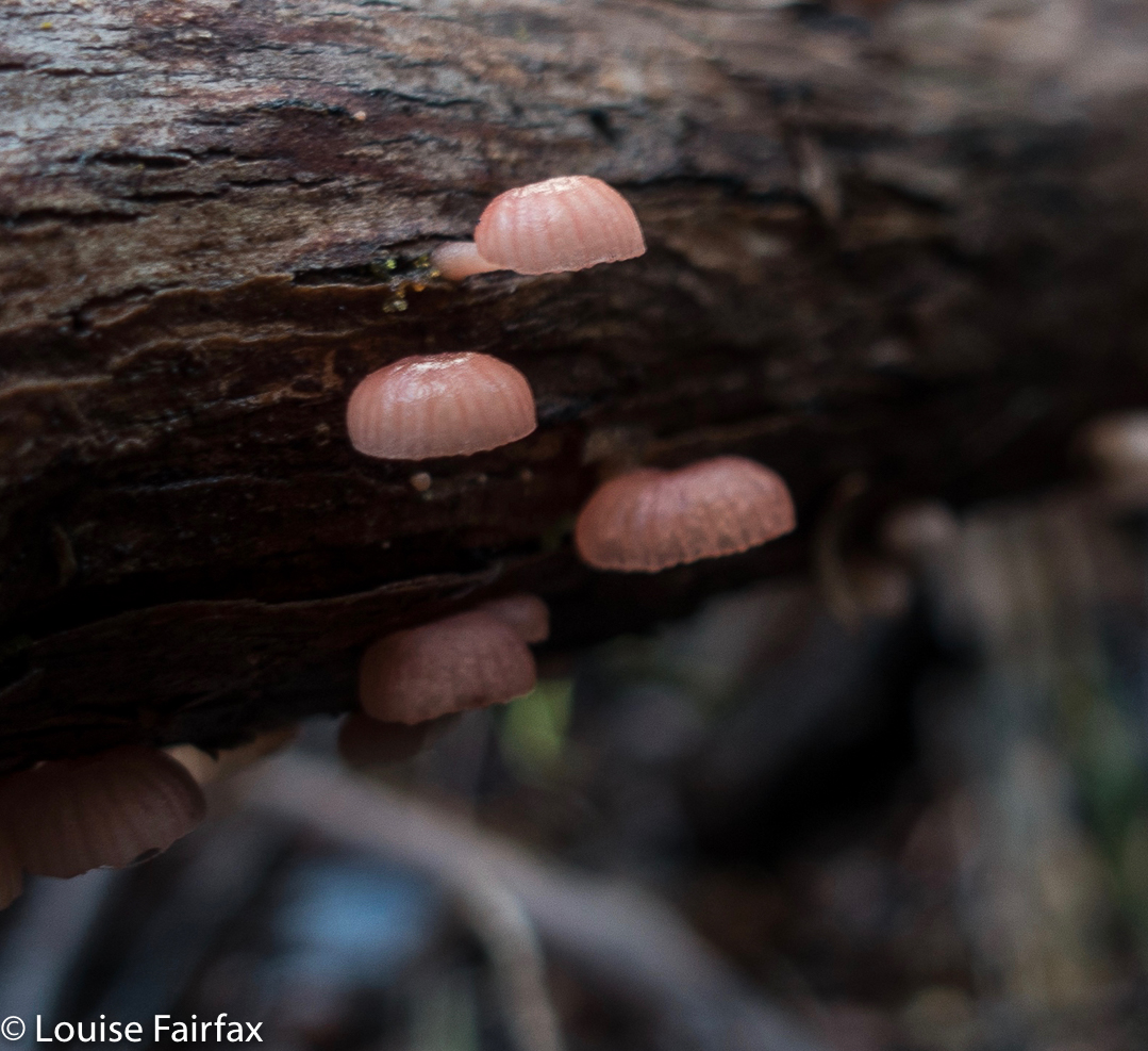
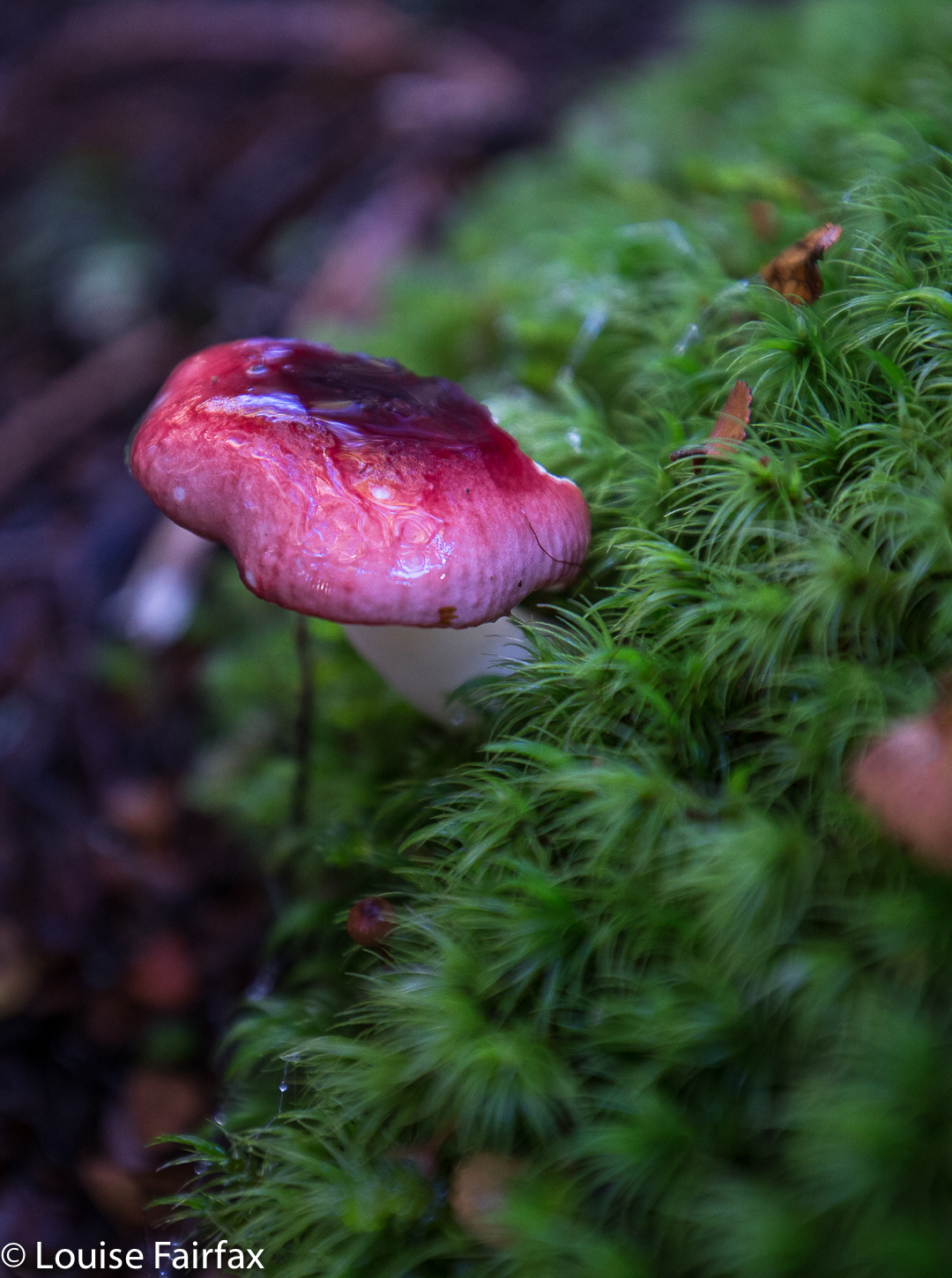
Cortinarius tasmamamphoratus. I have never seen these before this trip
He knows the others helped him; he is not arrogant, but he is still allowed, thanks to the group, to feel successful and affirmed. I love solo climbing, duo or trio with friends even better, but I also enjoy being part of a club; I love learning from those more experienced than I am, I enjoy giving back by leading walks in the two clubs where I have that role, and I really love the camaraderie of being with others who share my hobby. I have met some fabulous people in the club context, as it draws those who love my love together so we can meet each other. I enjoy the little custom of “high-fives” when a club group reaches the summit. No matter how many hands were outstretched, the person still had to do it propelled by his or her own power, but the victory is also a shared one. There are others there with whom we can celebrate the occasion. Mt Maria is not a particularly special mountain for me: it has a track up it, and offers no particular challenges for me, but doing it with Bruce lets me see the mountain in a different way, and to appreciate it from a different perspective, which is healthy.