I had always wanted to climb Mt Wellington / kunanyi in the dark in winter with snow and photograph the dawn from on top, but never quite got around to it. I just needed a gentle shove.

This seemed to come in the form of my daughter giving me the encouragement I needed to set my alarm and just do it. I decided this was indeed the perfect opportunity: the snow was perfect; it was going to be a nice day. If I found an excuse this time, I would never do it.
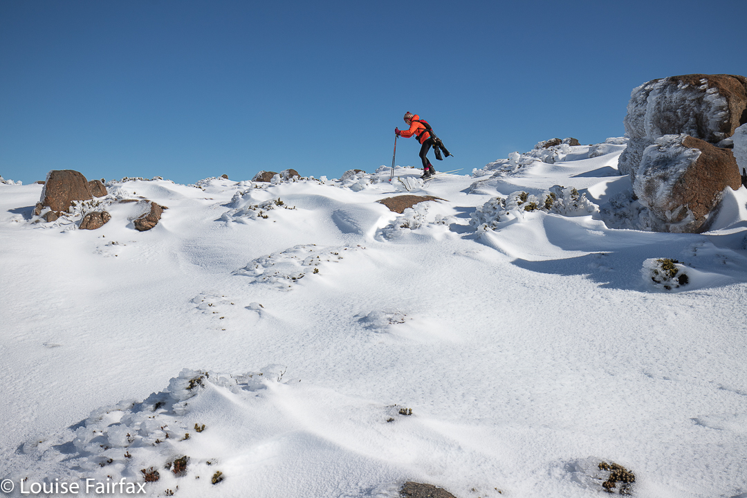
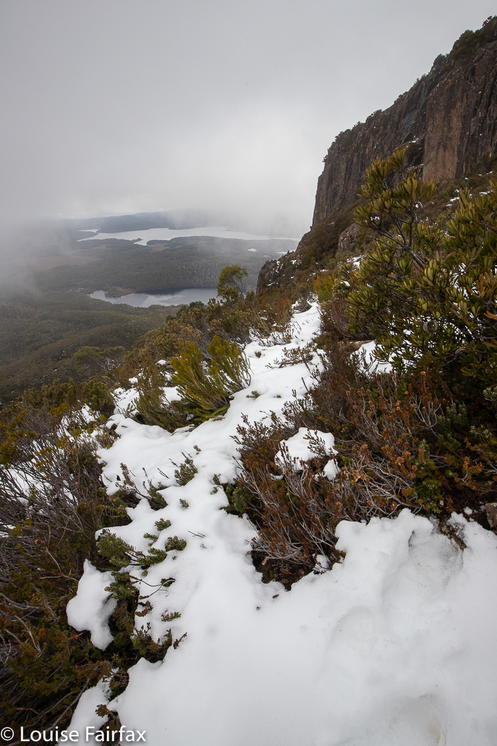
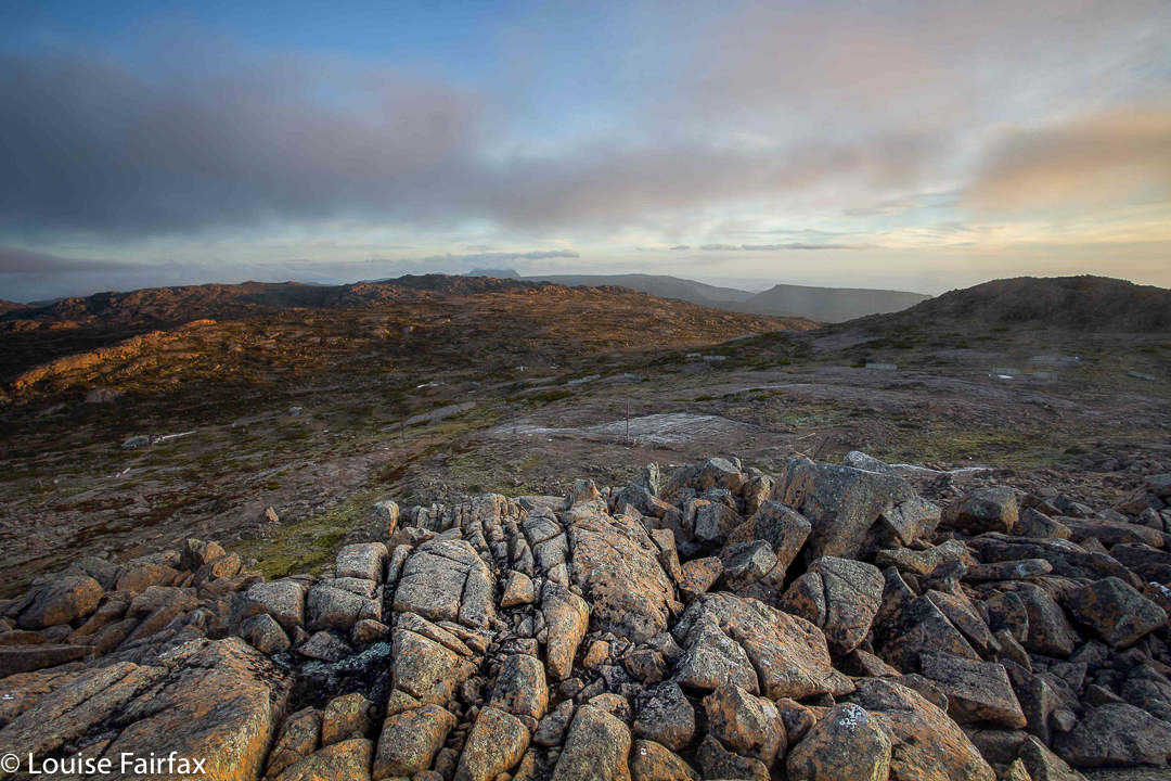
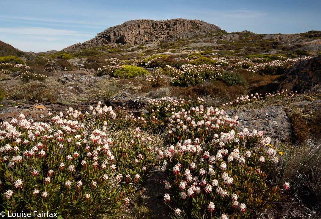
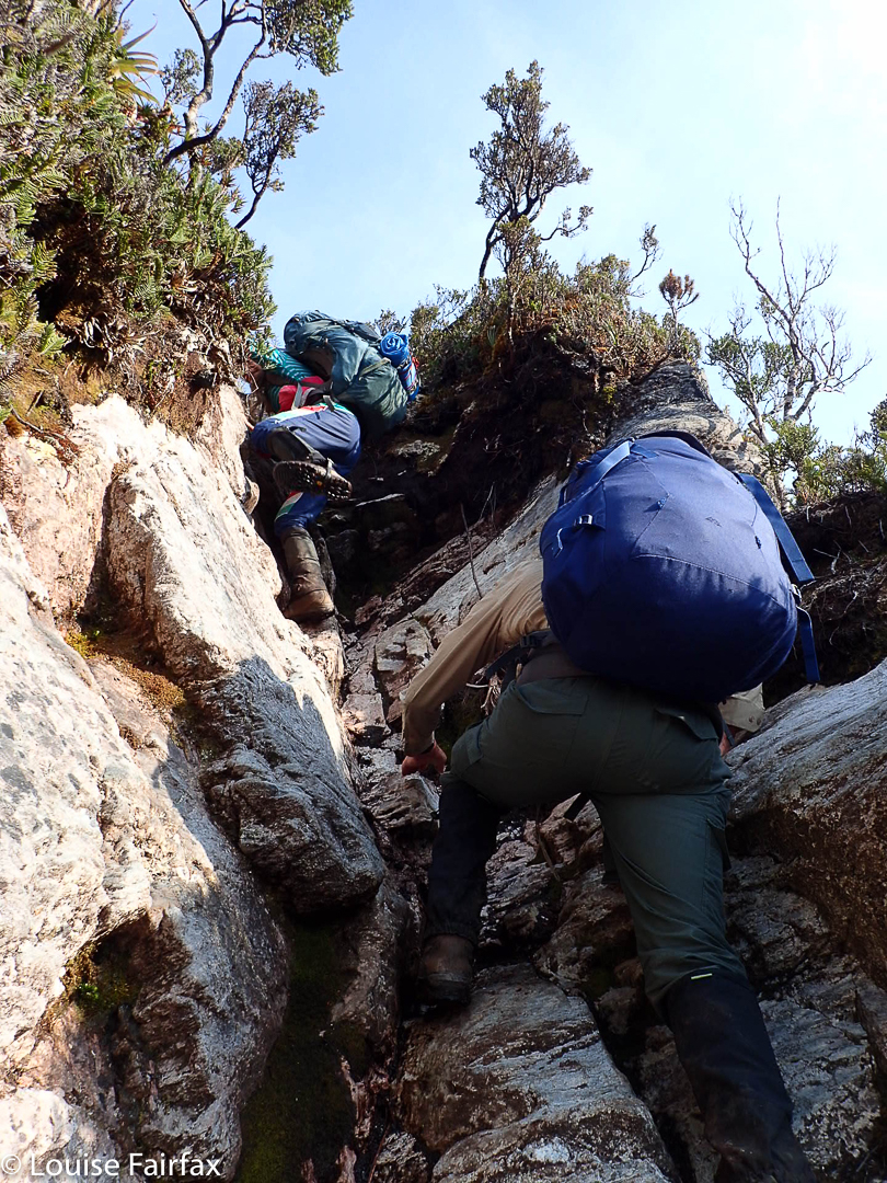
It really helped that I’d climbed up the day before and had a glorious time on high. I knew the conditions of the track – I would definitely need my boot chains to prevent slipping on the ice. I knew the general layout, so felt confident. Once you’ve done it even one time, the rest is easy.
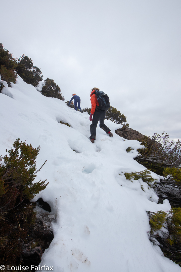
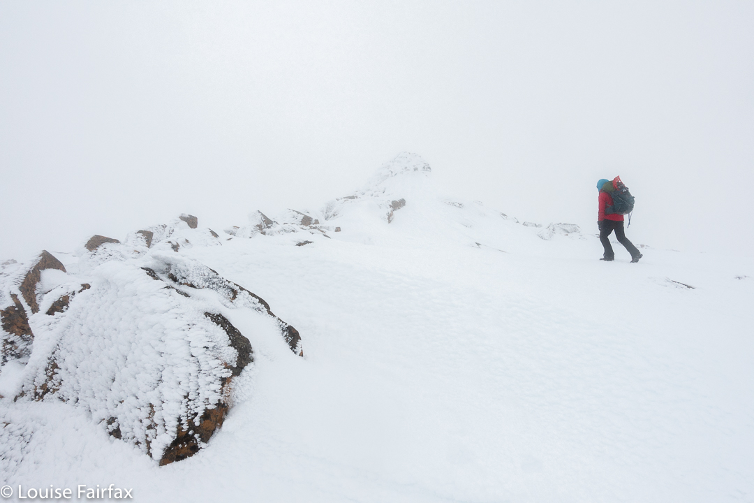
So, there I was an hour and a half before sunrise, headtorch in place, taking my first steps on the white, icy track. I felt exhilarated. Who knows what the temperature was – obviously below zero, but I neither knew nor cared how far below. The climb would keep me warm, and then the dawn would excite me, so I wouldn’t feel cold. I had three pairs of gloves on board just in case my fingers started dropping off while shooting.
My headtorch lit the tiny icicles, so that it was as if I were climbing into the stars: stars below and above and white-coated branches all around; just me and nature and serenity. I had no company, so could just go at my happy pace, which was a brisk and purposeful one.
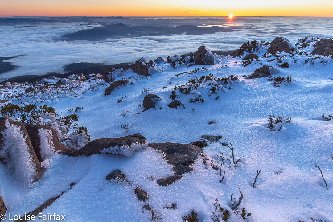
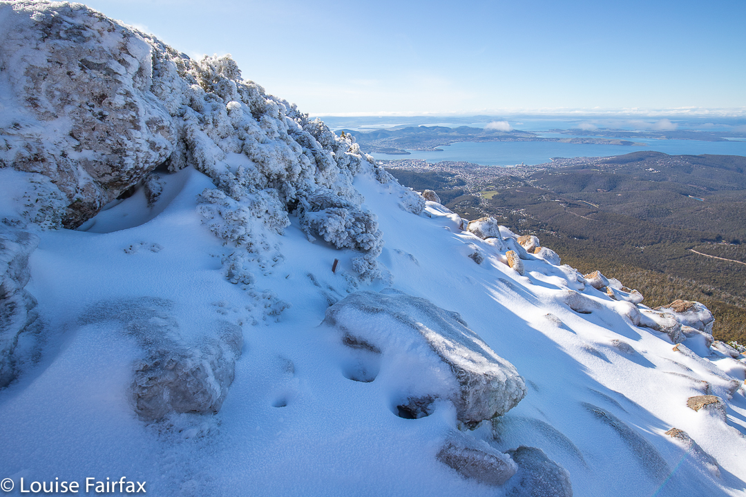
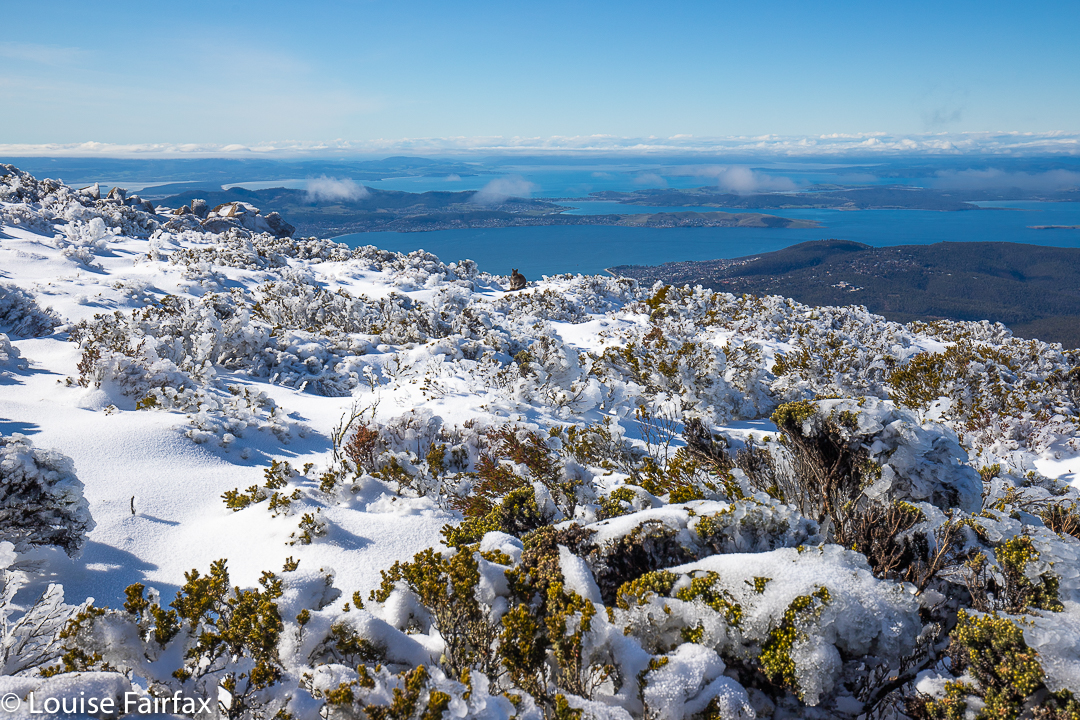
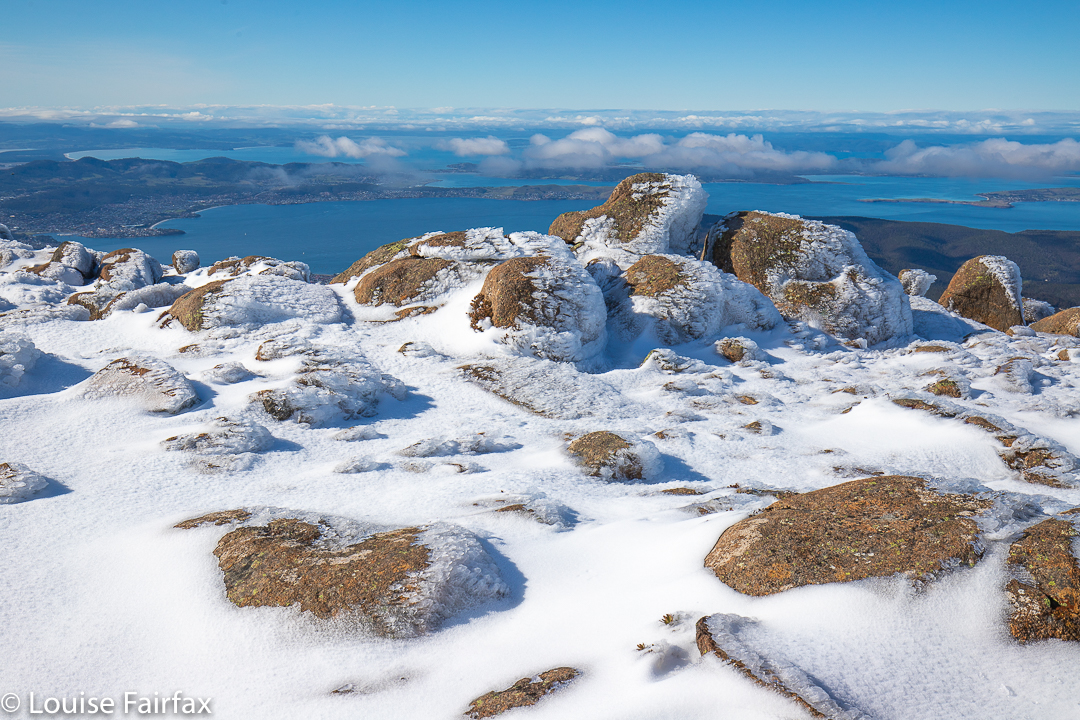
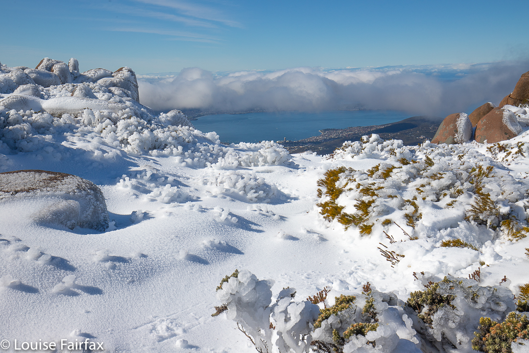
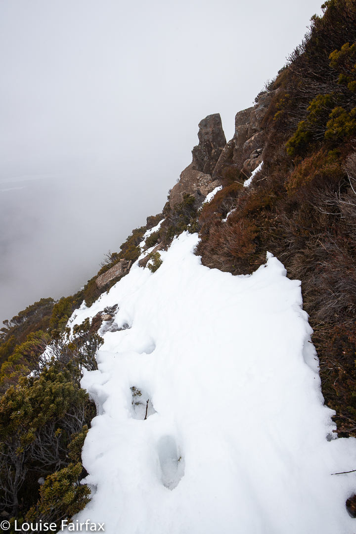
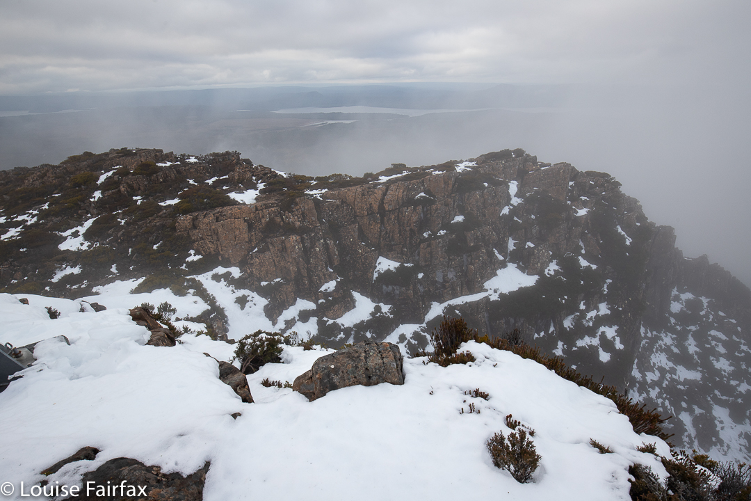
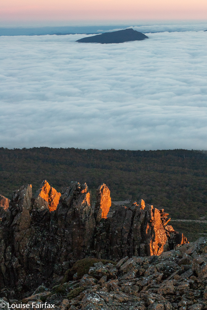
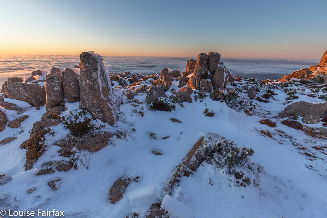
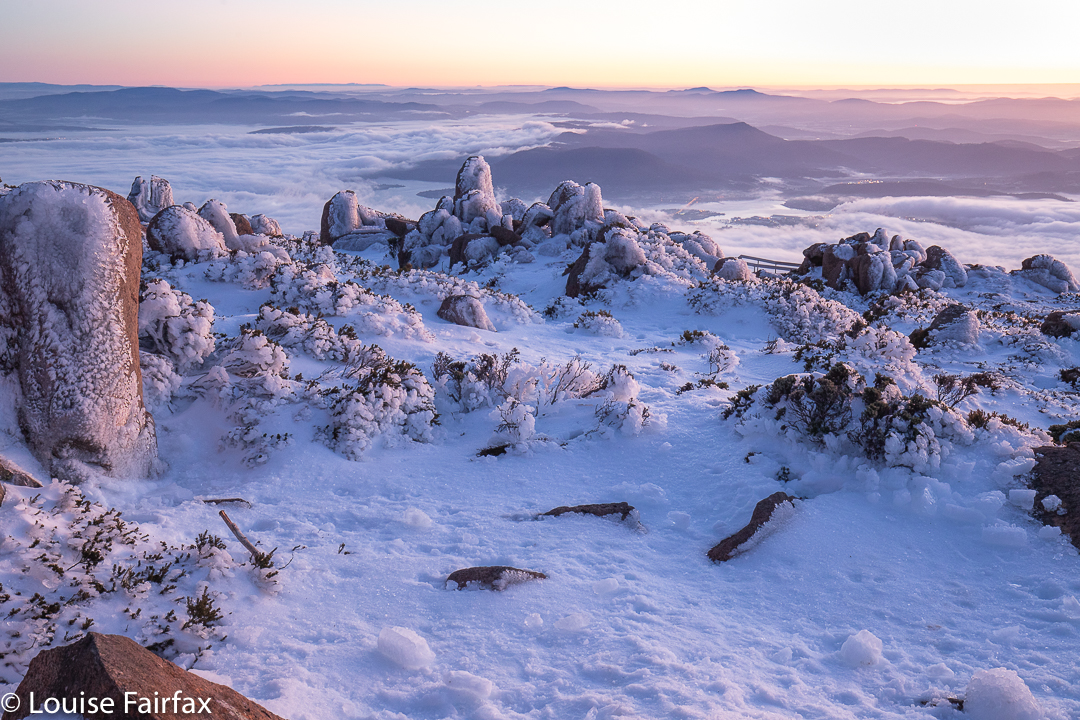
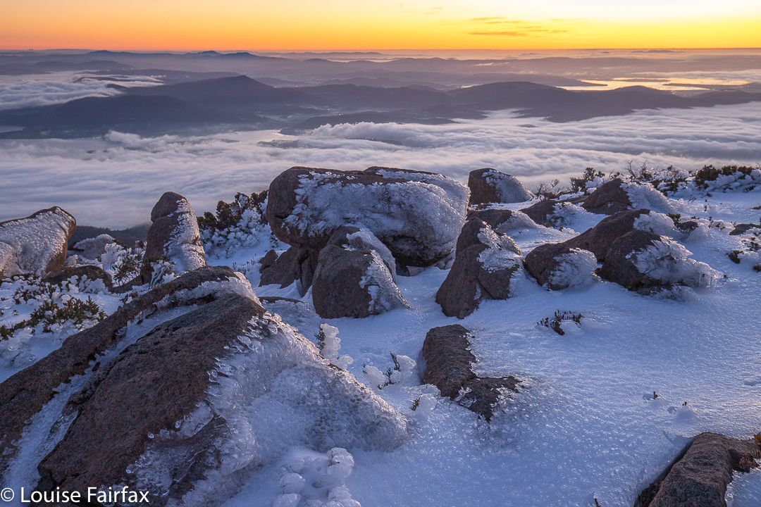
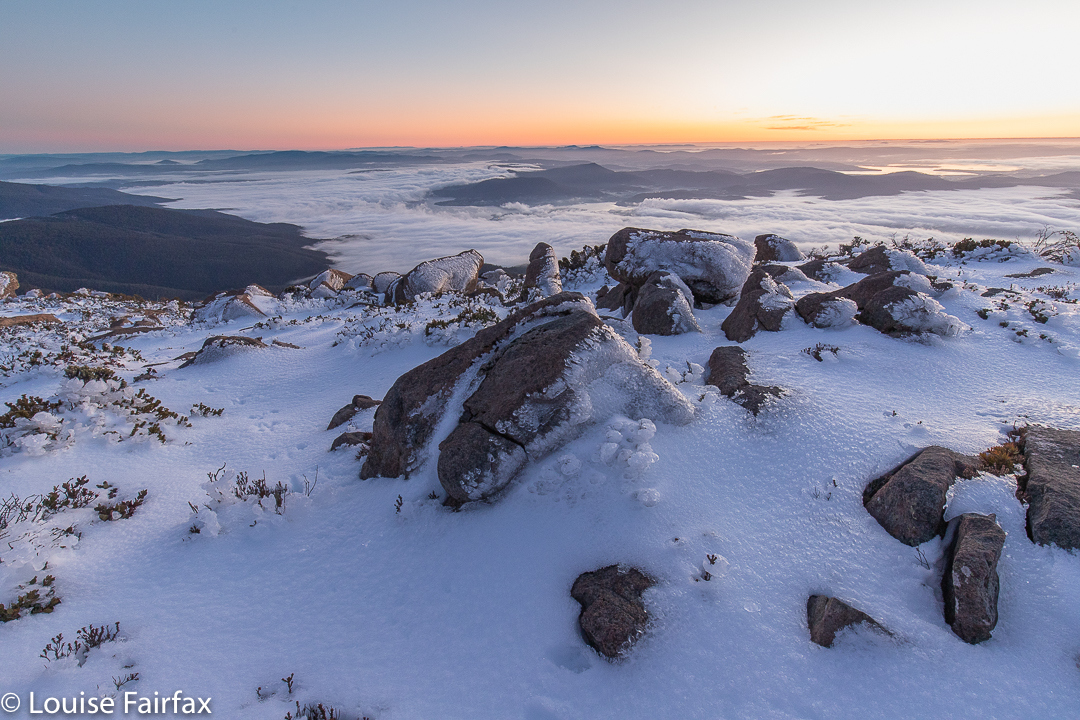
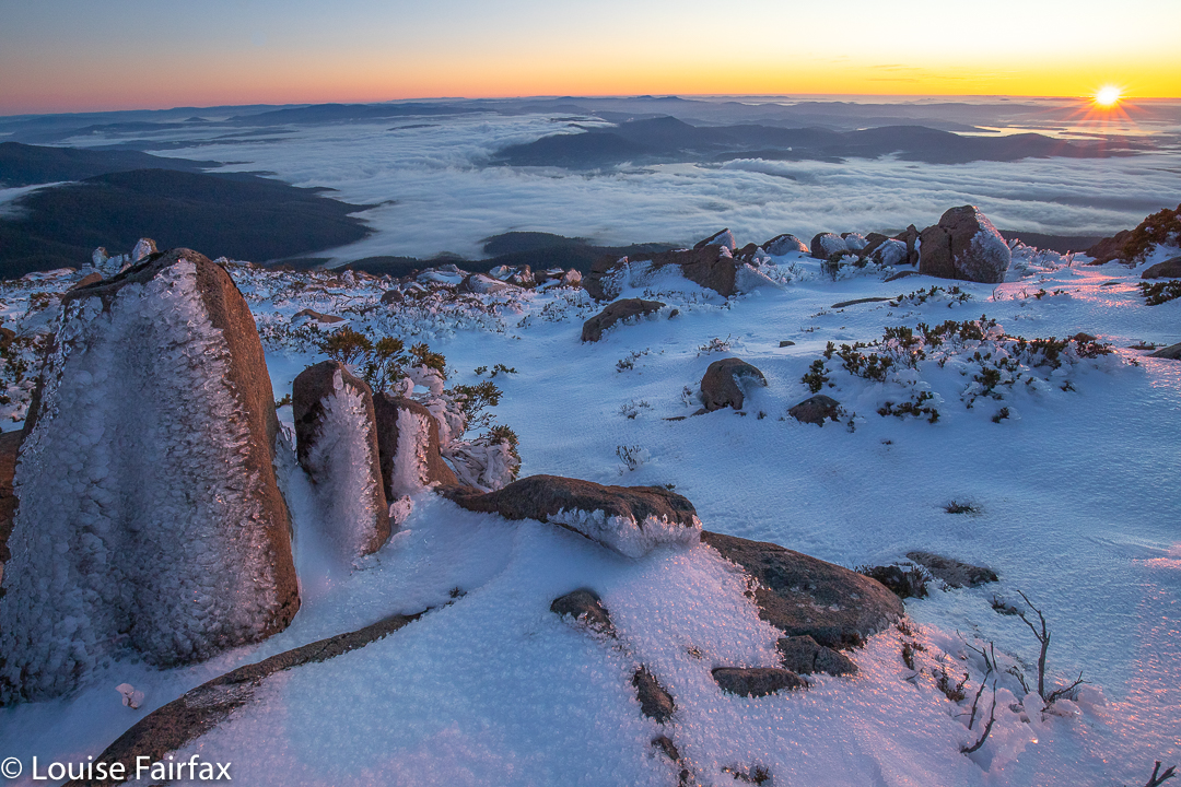
One hour after setting out I took my first shots of the city twinkling below me, white snow in front, the sky still dark but with a very bright orange glow on the horizon. I was at this stage only about five minutes from the summit, so took a quick shot or few before moving on. I was in plenty of time for the first beautiful light (seen above), and with masses of time to spare before actual sunrise (which interests me less than the pre-appearance colours. Given that I had plenty of time at this stage, I also took a shot or two of the full moon in the west, setting as the sun rose out the other side, before choosing my location for the main photos.
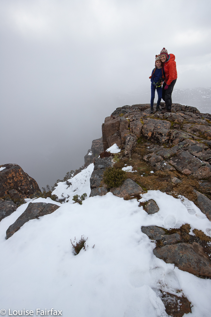
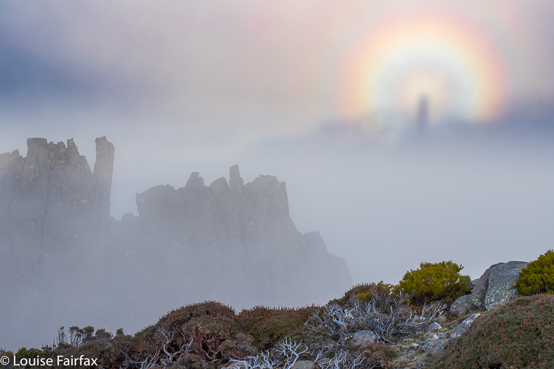
I had climbed alone, but there was another guy there who must have left earlier than I did. He was taking selfies off to my left, and apart from that, I had the world to myself.
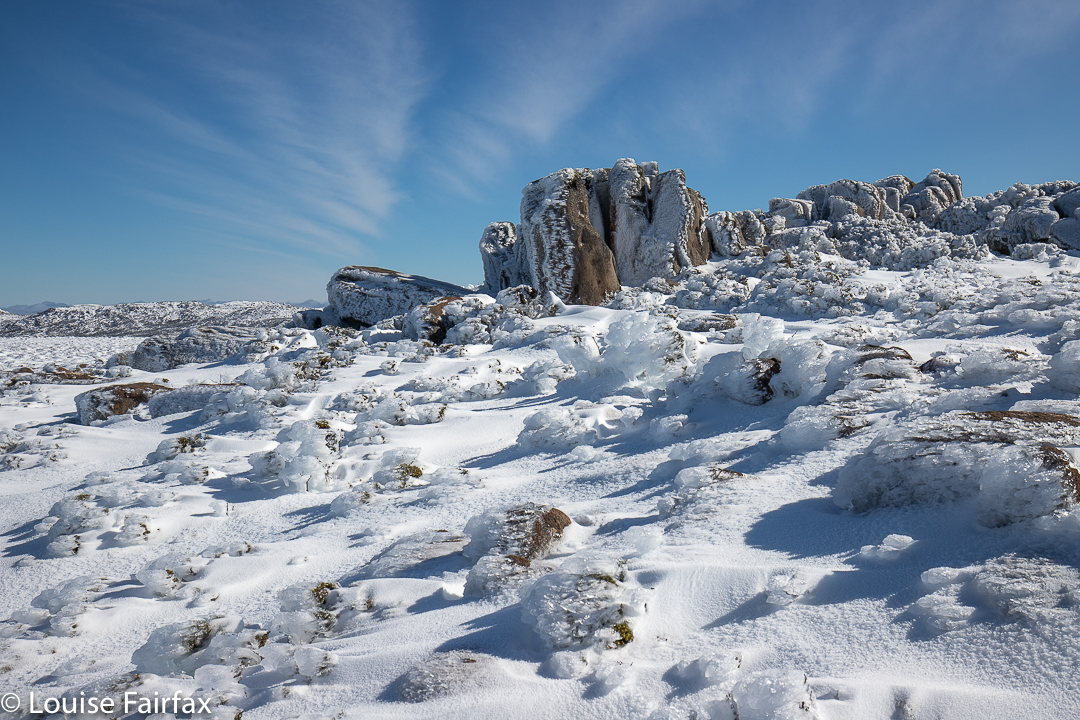
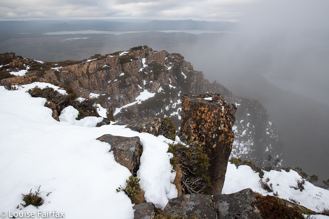
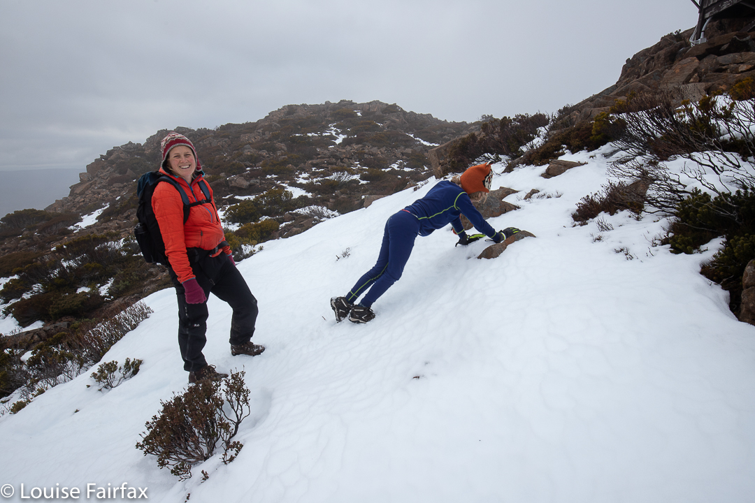
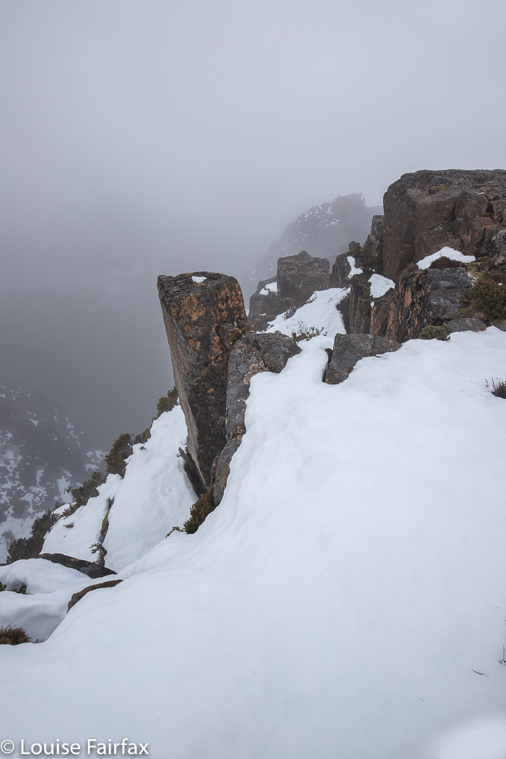
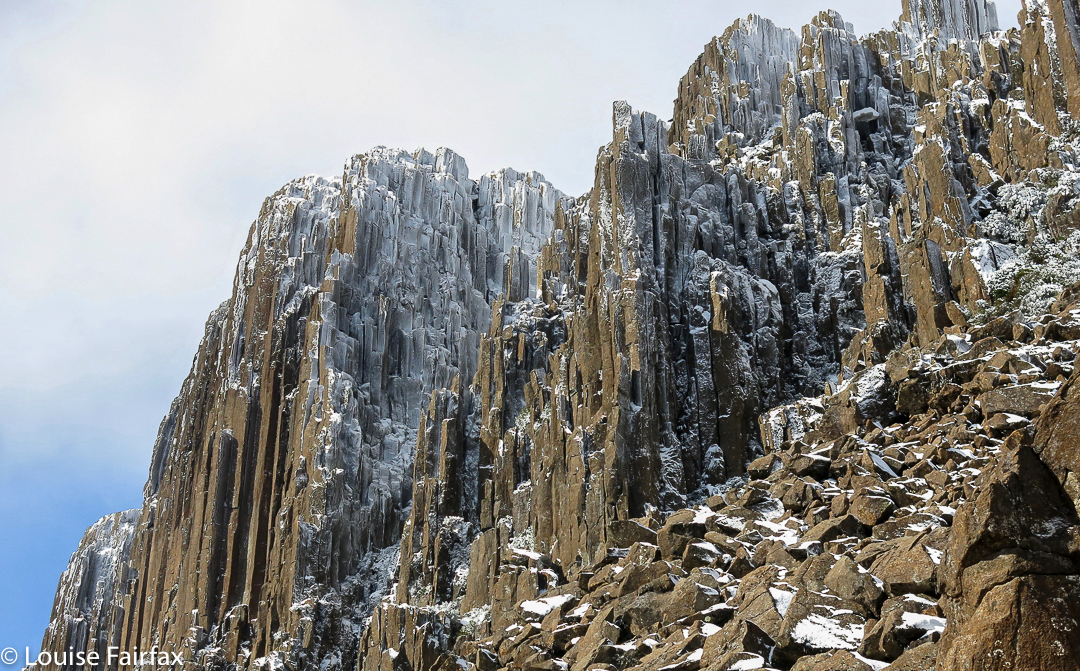
And do you want to know something funny? I sent my two daughters a phone pic after I had done all the real shooting. It said: “My view, now”. I received back from my firstborn daughter a message that said “My view, now” – easily recognisable as the beautiful dolerite columns of South Wellington. We used our phones to meet each other and walk down the slope together.
That morning when she was running in the dark with friends, they said they’d drop her off if she wanted to run up the mountain and see if she could find me, so she took up their offer. This day is both a very happy and a poignantly sad day for me: it is young Gus’s birthday, but it is also Bruce and my wedding anniversary. Life and the memories of a beautiful marriage entwined in the same day. If Bruce were alive, he would be delighted that the morning was spent in this way, although he would not have tolerated being left out! He would have loved to climb up in the dark with me. We have climbed so many mountains together to watch the dawn from on top, but now I have to climb alone.