Freycinet, Mt, and Mt Graham 2014 Nov

Mt Freycinet and Mt Graham Nov 2014

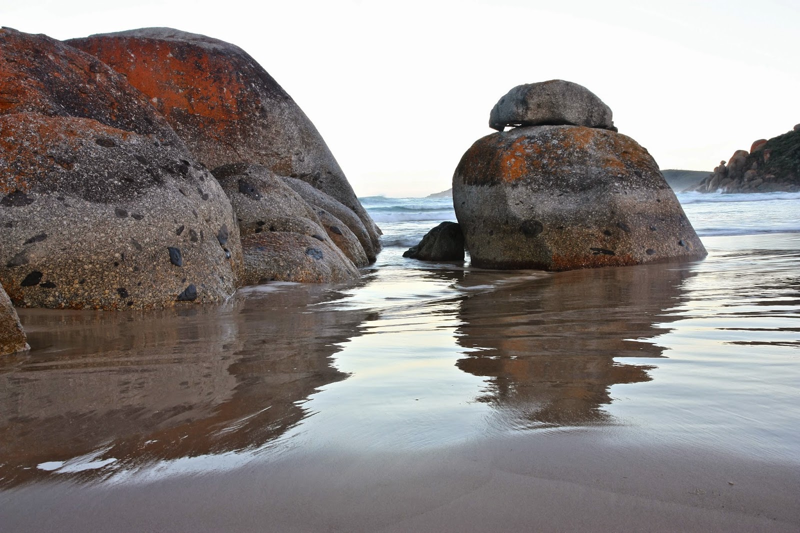
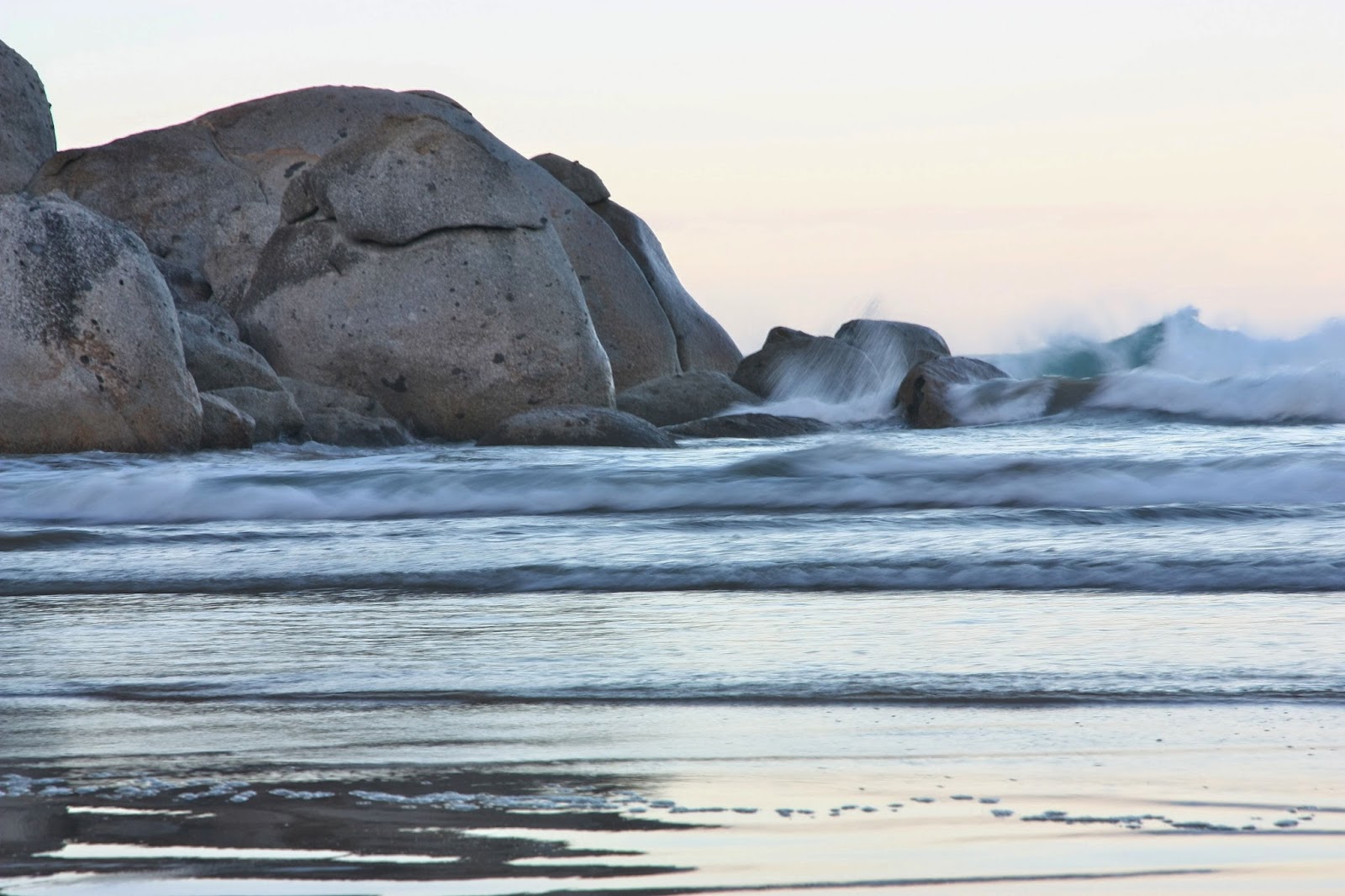
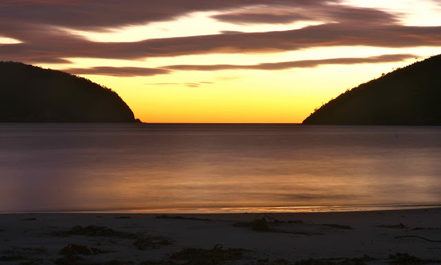
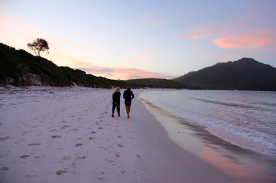
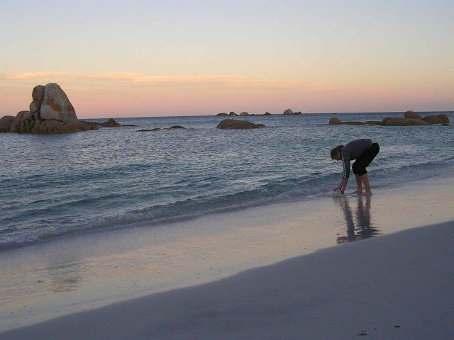
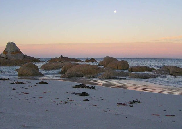
Sunrise, Friendly Beaches
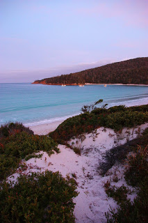
The day for climbing My Freycinet and Mt Graham had a remarkably lazy feel to it right from the start. Sunrise was magnificent, and we were in no hurry to leave the beautiful beach that we’d camped beside. It’s pretty hard not to want to linger longer by pure white sand, aquamarine water and pink sky.

Having climbed Mt Dove (and Mt Amos) the previous day, the four of us were still in a jubilant mood, and looking forward to today’s mountains, even though they offered no particular climbing challenges. Having changed our plans of where to sleep (see yesterday’s posting), we were running about 28 hours late, but that didn’t matter on a day with only two easy mountains on the programme and all day in which to complete them.

Wineglass Beach

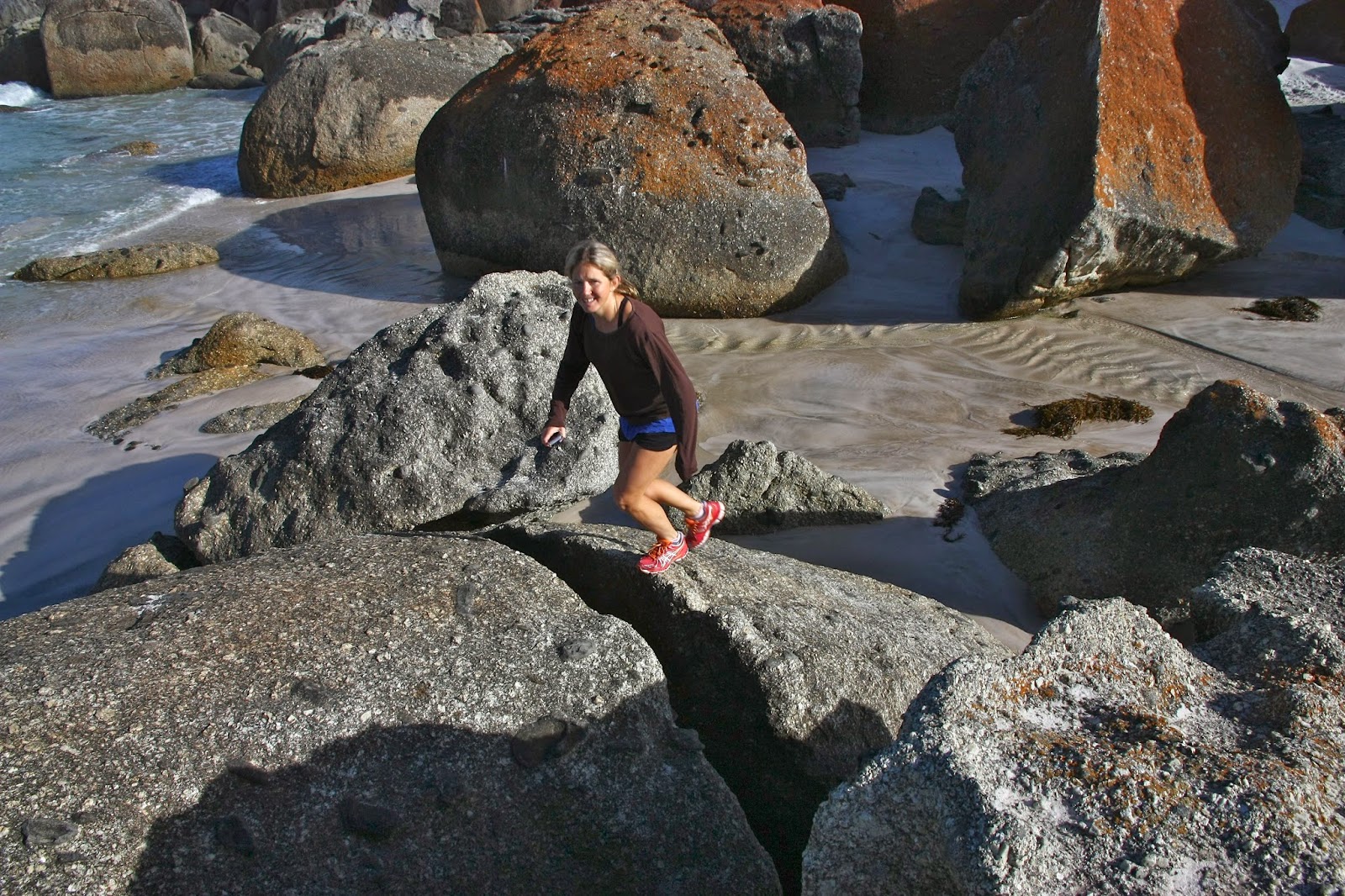
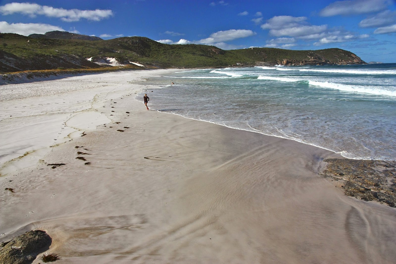
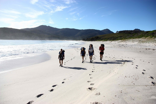
Off we set at last for the Wineglass Bay saddle. Wineglass never palls. A google search tells me that it is consistently rated as one of the top ten beaches of the world – which means that the judges have unexpectedly good taste. It is magic. For the second time in two days, the girls had to pinch themselves to make sure they hadn’t gone to heaven early. You have to spend time at a beach that wonderful, so we stopped at its entrance to have a swim. (No, not me. Anyone who knows me knows I’m too much of a wuss for that. I always photograph the swimmers and mentally join in that way.) We then lengthened contact with the beach by having a slightly early lunch at the other end. The day was long; our goals still easily achievable.

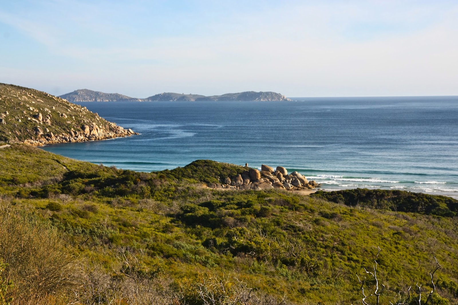
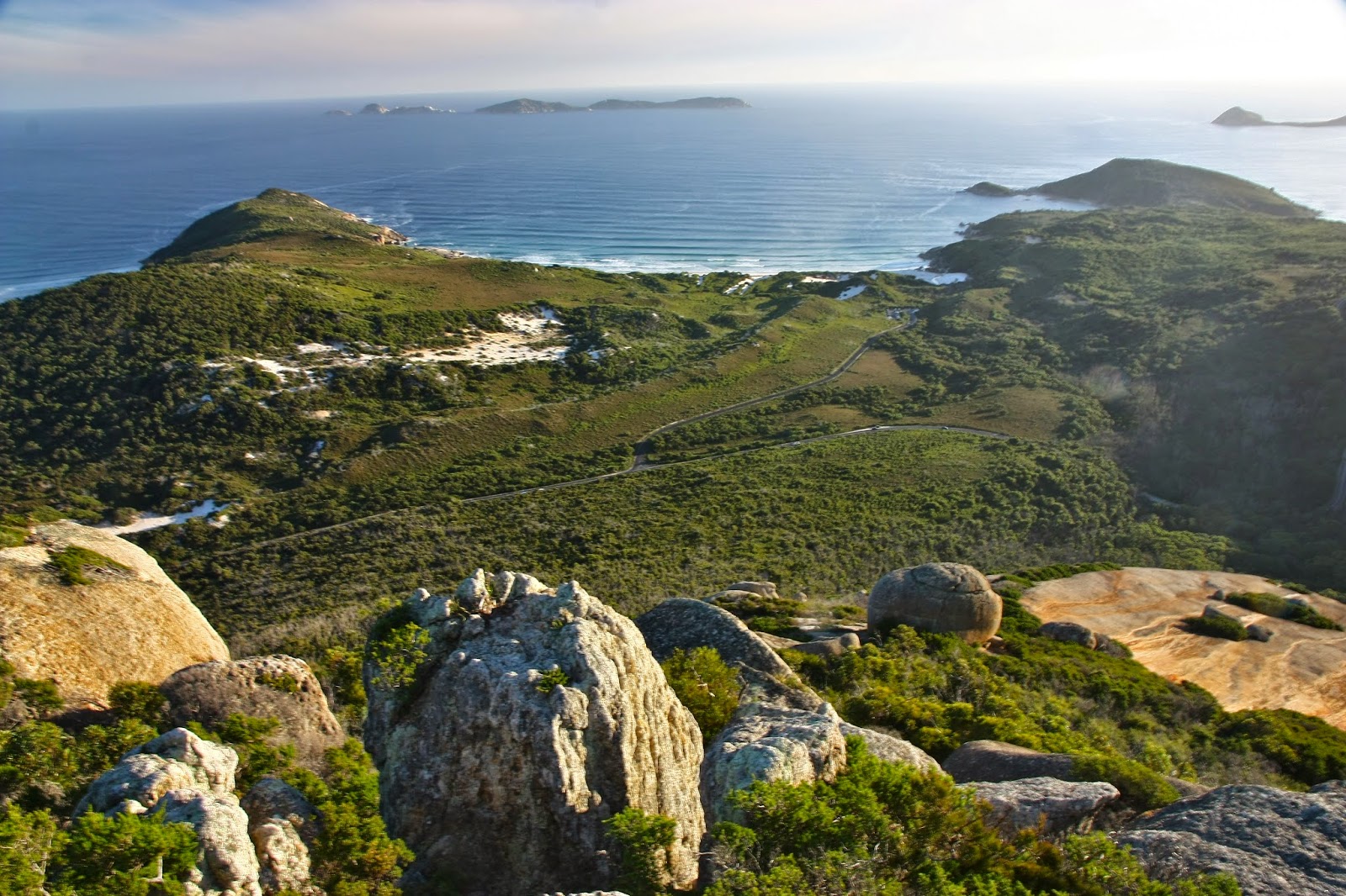
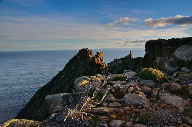
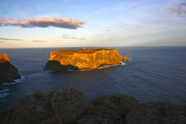
View from Mt Freycinet.

At last we had reached the business end of the day: stomachs satisfied, swimming urge dissipated, off we climbed through the forest and along the track that was almost white with the eroded quartz grains. Everywhere we looked, coloured flowers drooped over the track, picking up the light as they did so – shining yellow, white, pink and purple and greeting us as we passed, brushing our legs with their perfume.

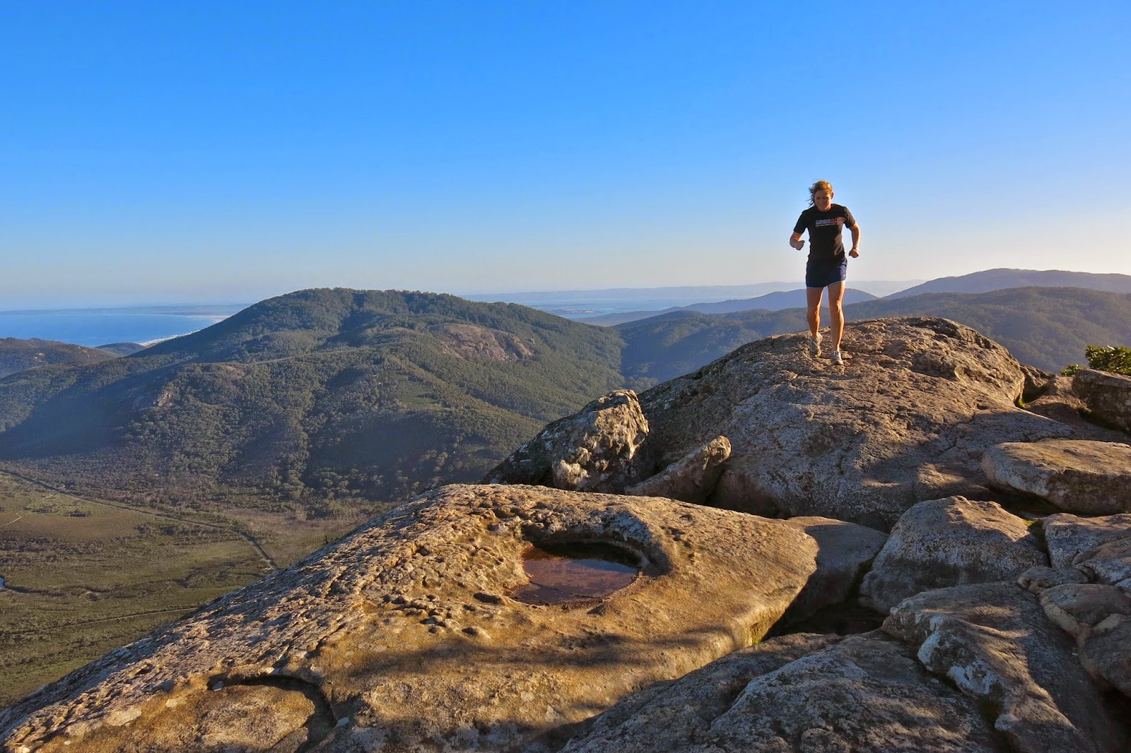
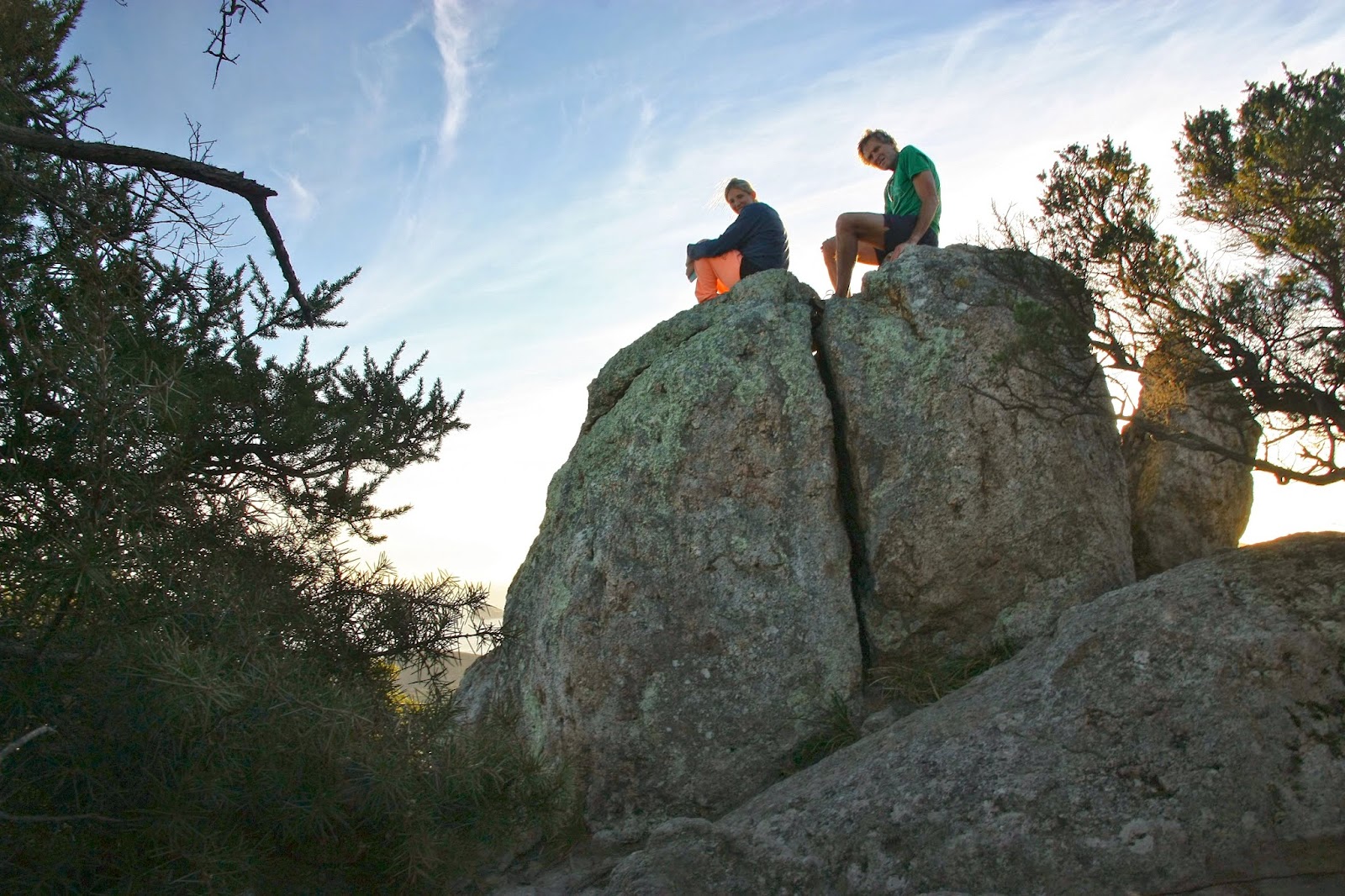
Molly on Mt Freycinet

Up on the tops we met a group from LWC who had also chosen the single dry location of Tasmania this weekend, and warm hugs and greetings (and introductions to the Swedish girls) were exchanged. They were on their way to the beach below to camp, while our goal was to sleep on the summit of Mt Graham. If you’re a regular reader, you’ll by now know that that is my style. We only took about five more minutes after meeting the others to arrive at our destination, so were setting up our tents quickly and looking out at louring clouds. Hey. BoM said there would be no rain here today. How dare they look so businesslike! For the first time that day, there was a little haste. We did want to summit Freycinet today and not postpone it. There was still enough light.

Me, flying over Mt Freycinet.

It took only eighteen minutes down to the saddle without packs, and then twenty three up Freycinet along a track that filled us with delight as it weaved through the open forest replete with flowers. Once we were on top, we could relax about encroaching darkness – and the weather. We still had heaps of light left, and the rain was holding off. It was time for general exploration, handstands and jumping poses on the rocks that had enough space for such things.

Sunrise from Mt Graham.

Back at the tents, we were in the process of boiling water for dinner when the hail began. I poured water on the packets of powder to rehydrate them and we all huddled into our two-man tent. It was cosy with four. Hail changed to rain, accompanied by gruff, angry wind, but none of that mattered: we had our safe haven, and ate our rehy-dehy food with relish. The day before we had discovered that we all love singing. There we sat in a tent in the storm and sang for the next three hours: some beautiful, gentle songs with soothing melodies and haunting harmonies; some silly, make-us-all-giggle ones. Some sophisticated, some childish. Some negro spirituals and rounds. On we went, laughing and singing and enjoying ourselves, finishing up with Christmas carols before the girls went out into the night to find their tent and “sleep” (the wind raged so strongly that no one actually got much slumber, but at least we lay down and pretended. It was worth losing sleep just to be there and experience this beautiful mountain and the fury of the elements).

Halfway down

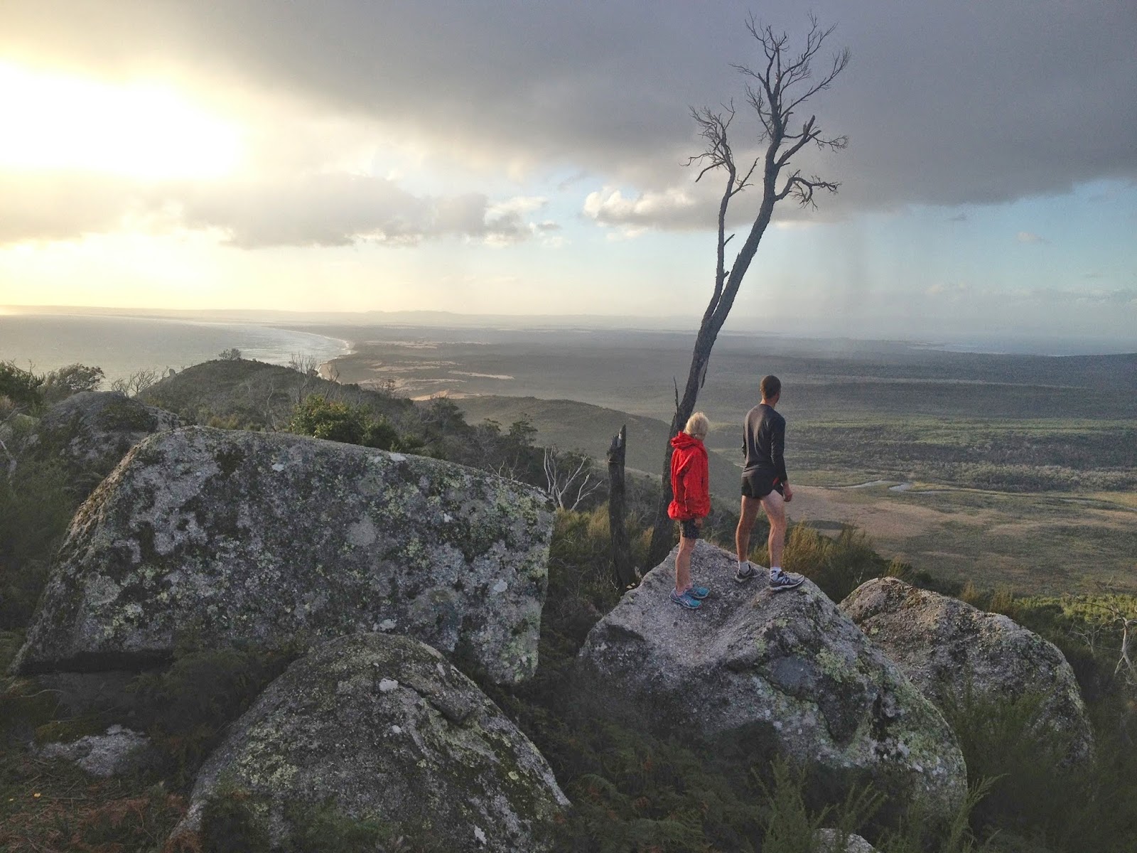
In the morning, we enjoyed sunrise from the summit which was only about two minutes from the tent. The wind had not yet abated, but we weren’t being blown off our feet. A bank of clouds prevented the sun from coming straight out of the ocean, but we loved it anyway, and gazed in wonder that one could camp in a spot such as this. The girls bubbled with enthusiasm.

Salome on Wineglass Beach

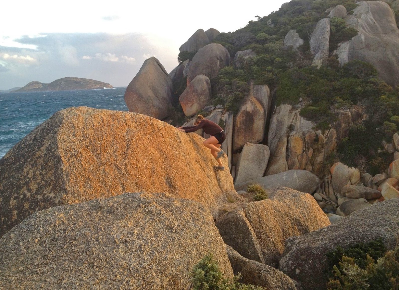
We sang nearly the whole way down the mountain, full of joy at the beauty around us, and stopped at the beach for yet more swimming, eating and gymnastics. The last time I did handstands was in the 1980s, when I did them in the surf with my niece, Sarah, gleefully doing stands in shallow water and then being tipped over by the approaching wave. It was time to see if I could still do them. I thought it would be rather embarrassing to end up needing to be helicoptered out because I’d hurt my back doing cartwheels along the beach, but fortunately it didn’t come to that. Both handstands and cartwheels  “worked” (generous assessment), but certainly not with anything like the style of my teenage years!! I used to adore gymnastics. Legs were not straight; body was not directly over my hands – but I had huge fun trying. Salome and Molly were fantastic. It’s actually very hard in the sand, as it sucks your energy instead of giving you spring back. When you admire the photo of Molly below doing a handless cartwheel, just remember that. Normally such things are done on a sprung floor. Her “bounce factor” is brilliant.

Molly doing a handless cartwheel.
We had also scheduled a climbing of Mt Mayson for this day. The instructions were rather obscure, and we tried about four false leads climbing upwards into thick scrub before we found the one that worked. I was dangling my huge full-frame DSLR (I didn’t have a daypack with me) as well as my Galaxy Note which doubles as my gps system. Both were crashing against the rocks a bit and had me worried about their safety, as most steps involved climbing boulders and sliding along ledges. I felt clumsy; I was also very hungry. It was time for me to have real food. I suggested we go back down to the carpark and deposit our big packs, pick up daypacks and climb back up to where we were, now that we knew we were on the right lead. Molly and Salome agreed. (Bruce had already opted out of this climb and gone to the car by himself.) Down we went, up we climbed, yet again. I was inching around an obstacle on a narrow ledge and noted that I felt decidedly woozy. I was very, very low in blood sugar. I think I was also low in salt. I can tell you that after a scallop pie, a lemon-meringue tart, an OJ and a cappuccino I felt fantastic again, but by then it was too late. I have promised to drive the two girls back to finish what we began, but on that day, I needed food more than a summit point. Alas. We’ll be back to Mt Mayson for round two some time very soon.

VIC Wilsons Promontory 2014 Granite gorging.

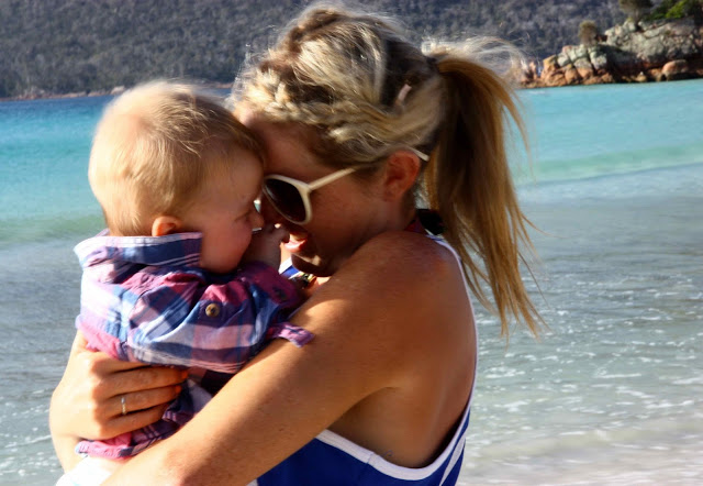
Gussy paddles with his mum
Wilsons Promontory April 2014.
I have a love affair with granite. When my girls were babies, we frequently did daywalks in Cathedral Rocks National Park (NSW) with its granite tors the size of large buildings. As youngsters, they cut their orienteering teeth on the granite country surrounding Stanthorpe (QLD), Namadgi National Park (ACT) and Kooyoora State Park (VIC) … and then we moved to Tasmania, where the orienteering north of St Helens is characterised by more wonderful granite. We all dearly love this rock, primarily because of the shapely tors that greet you as you move through the forest – round bulges, sentinels of the bushland. They’re also fun to navigate around, or to climb up and over, or to jump from one to another.
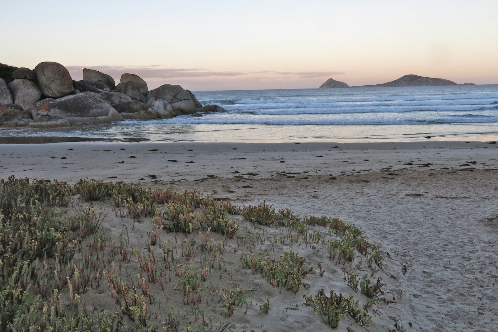
 

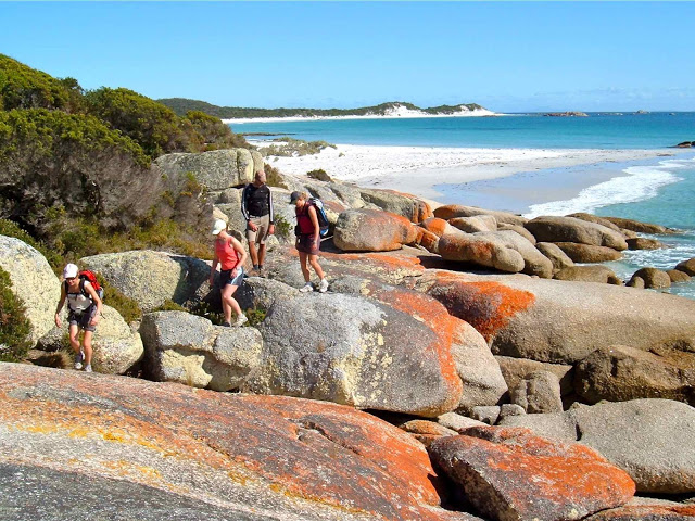
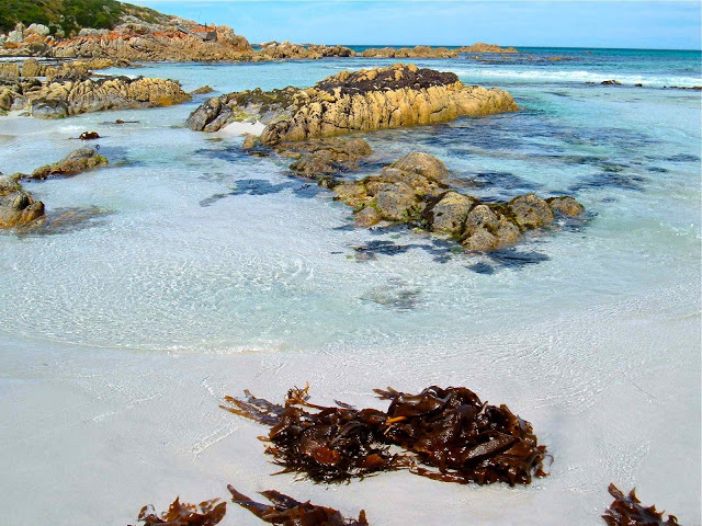
Coastal granite is particularly marvellous, as the white sand it generates produces beaches of a magic colour, whether one is thinking of the sand itself, or of the special blue of the translucent water that accompanies it. We adore Magnetic Island, Wilsons Promontory and, closer to home, the Bay of Fires and Freycinet Peninsula – all for the same reason.

My daughters seem to share my passion, so we were all very happy when my first born asked if we could spend our family Easter at Wilsons Promontory this year. We’d stay at a nearby beach, and walk and swim during the day. Who says “No” to such a request? Not us. Toddler Gussy could play on the beach while the adults in relay combinations could run up mountains and along the tracks of the Prom.

 
Kirsten on Mt Oberon
The forecast for Friday (Anzac day) was excellent, so Kirsten and I got up in the dark and drove to the Prom for dawn photography, and then had a wonderful run up and down Mt Oberon. I really, really love running up mountains, and don’t get much opportunity to do it these days, so revelled in the chances this holiday gave me to pursue my old ways. The mountains of Europe that were my competing arena in bygone days are, of course, much steeper and longer, but these ones are still fun and pose a pleasant challenge. There is something very liberating about running up a mountain. We had set out nice and early, so enjoyed wonderful lighting from the top, and had the whole mountain to ourselves.
 
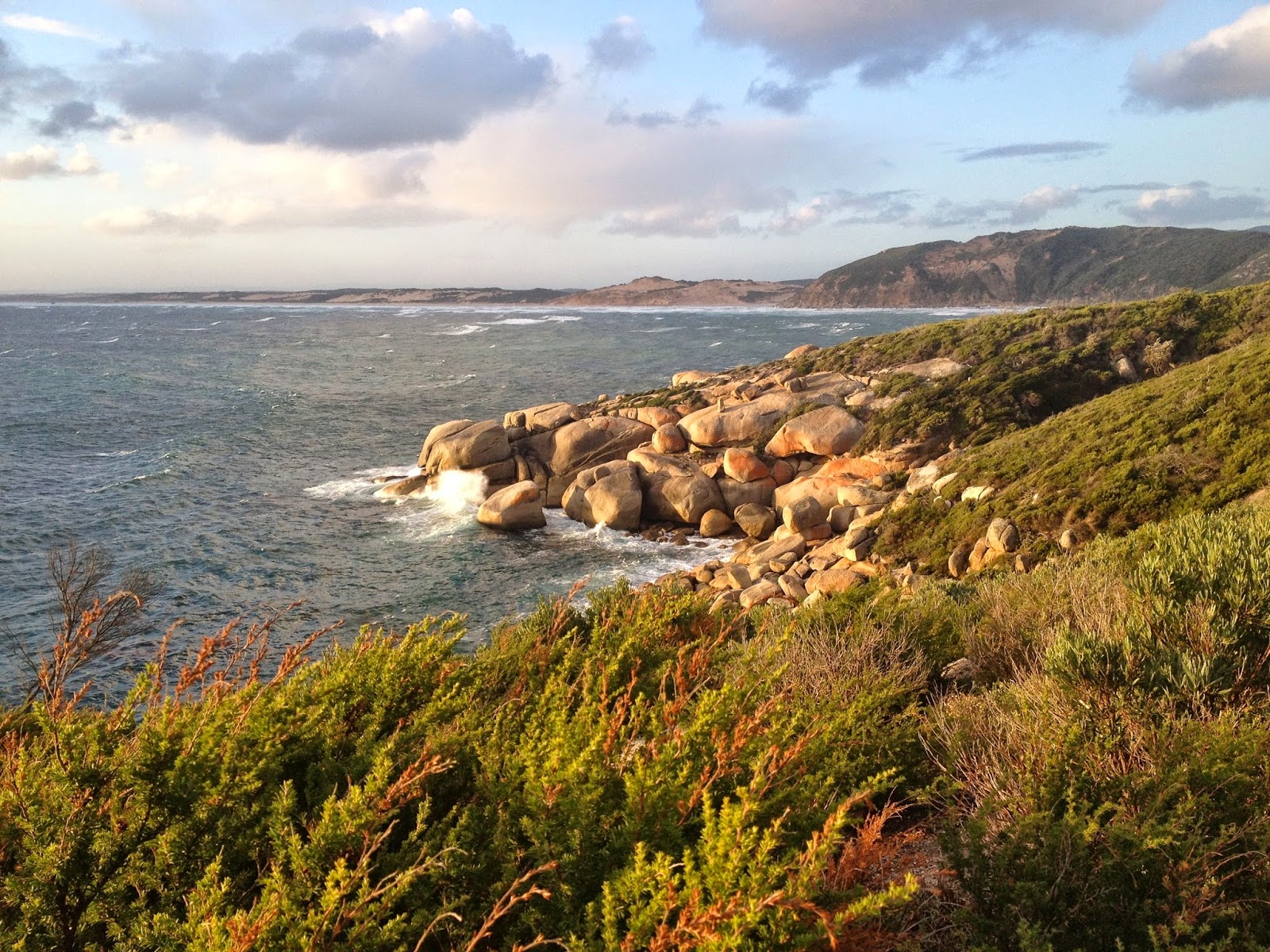
Coastal view, Oberon.
Back at Sandy Point, while Gussy was playing with his mum and the others were surfing, I went for another run, this time on the beach, as it had only taken 25 mins to run up Mt Oberon, and much less down, so I was feeling under-exercised. As I turned around on the return journey I saw a little dot in the distance that grew rapidly as I ran towards it. It was two-year-old Gussy (pursued by his Poppa) running towards me in that quaint style toddlers have, his little legs whirring, his arms flapping for balance. We calculated he ran about two kilometres that day. His face was aglow with excitement as he ran into my arms. Now he was doing what all the adults do, and he was very happy.
 
K, back down on Squeaky Beach
That afternoon my other daughter and my husband wanted some exercise, so we went back into the Prom and did a fast stride out up Mt Bishop. Again, the lighting was magic, as we’d waited until nearly sunset to do it. It was great to clamber up the summit tor and sit on top and gaze at the beaches below.
 
Whisky Bay and Picnic Bay, on the way to Mt Bishop

The next day the weather had turned, so my second daughter and I just did a flat run parrallel to the beach: 40 mins in howling gale-force winds and rain. In the afternoon, I persuaded the other adults to run along a track on the coast in the Prom while Yelena minded a sleeping Gus (who, of course, woke up to find us gone yet again). This was a ‘rest day’ as we were to run up another mountain on the morrow. Out we set into the punishing winds on the 12 km coastal track. It was exhilarating.

View from Mt Bishop
My husband and our second daughter on top of Mt Bishop.

The track was pretty protected up until a high point called Lookout Rocks, from where we could gaze out at an expansive purview. I didn’t like what I saw of the continuation of our route: a nose dive down to sea level and along to the point … which meant we’d need to run back up the slippery dip on the return journey. I feared it was too steep to run, given the amount I’d already done in the last couple of days. On we went in the magnificently moody weather. It reminded me of running on the headlands of Emerald Beach in the cyclone last year. The sea below was surging in giant hillocks of water, all churned white from the wind. The lighting was a yellowy-grey. Surprisingly, I did manage to run the return journey, as did my daughter and her husband, so we were all happy.
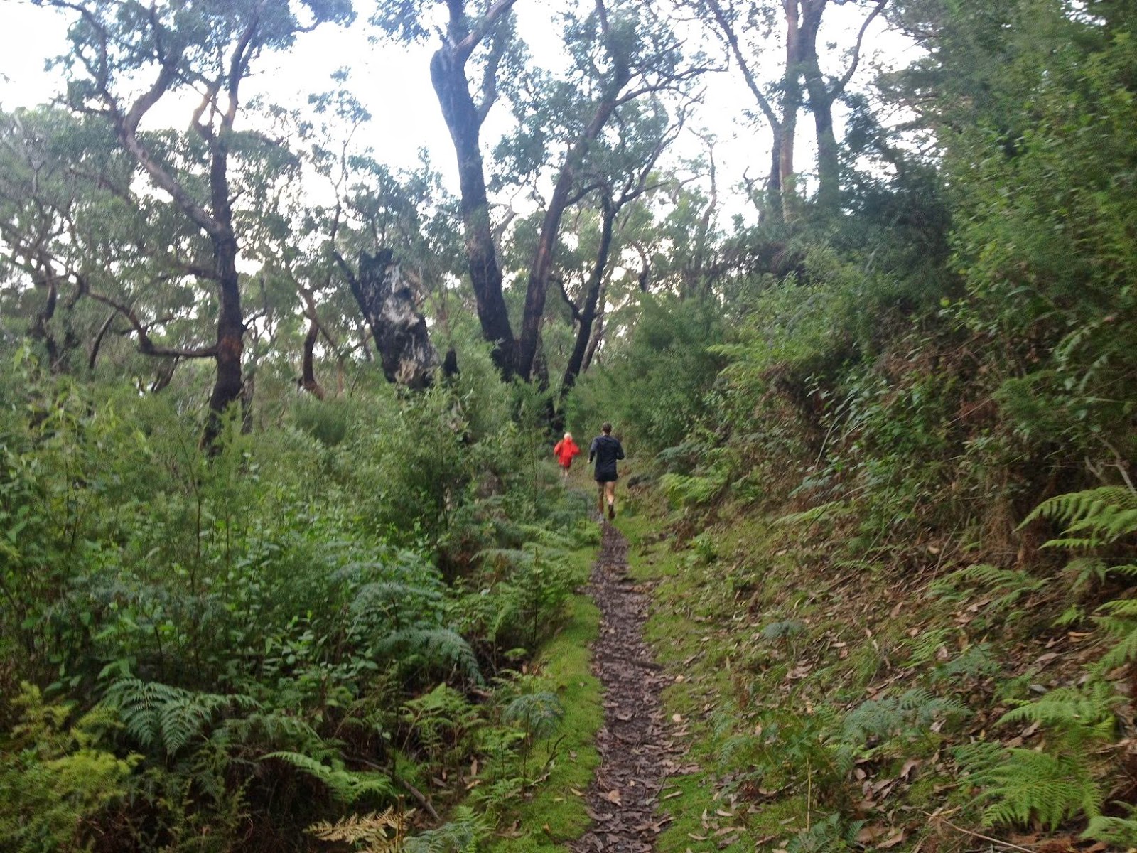
Keith and I on the track

Keith and I stop to take a look at the view below. It seemed a long way to go down and then back up again at the end of a full day.
The sun came out for about 5 seconds – just long enough for me to grab Kirsten’s camera and take this


Kirsten running up boulders at Tongue Pt
The next morning we decided not to get up in the dark. Poor Gussy had woken up from every sleep to find that some of the people he loves (and always his Nanna) had gone running. This day we ‘d have breakfast together and then run while he played on the beach. He appeared in my bed in the dark at 6 a.m., fully expecting me to be getting on my running clothes. “I’m VERY, very fast, Nanna,” he announced. He was obviously angling for inclusion in today’s expedition. He whirred his tiny legs around to demonstrate. I said I’d run up mountains with him when he gets bigger, and he was happy enough with that, although not entirely appeased.
Yelena back down on Squeaky beach after the mountain. The sun has now come back out.

On this day, it was my second daughter who was going to run skywards with me, and we’d chosen Mt Bishop to be our mountain, as we’d only walked up it so far. The weather was murky, and we already had photos from the top, so for the first time we ran without the burden of cameras. Nice!

… and then we did some beach and headland running while Bruce surfed
As with Mt Oberon, we were at the top in under half an hour, so made up the ullage on a track down below, between Squeaky Beach and Picnic Bay, the perfect ending to a granite beach extravaganza. My husband ran part way up and down the mountain, and had a final surf while we did the track. Farewell Prom.

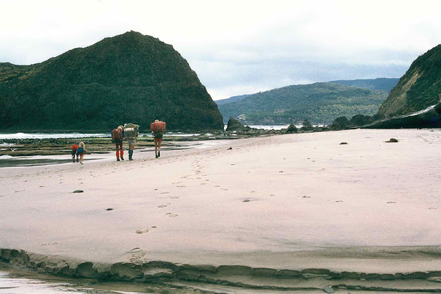
Three Capes Track Tasman Peninsula 2013 Jun

Three Capes Track June 2013. (The real, old one; not the tourist version)
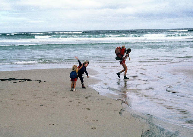
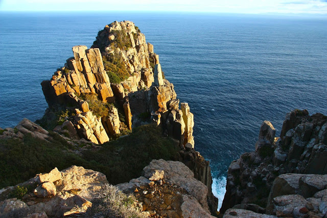
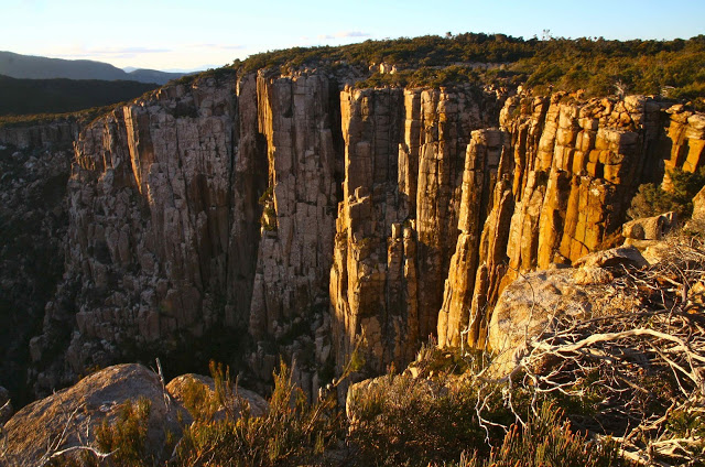
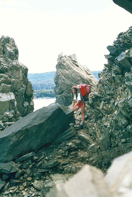
Unfortunately, I had family commitments the weekend I visited this beautiful area, which has now been very much opened to the general public with the popular Three Capes Walk. This visit was a kind of final farewell to the track as it used to be – a narrow bush path built by clubs before tourism took over and converted it into a highway. I am told the highway is very nice, and I realise more walks are needed for tourists … as long as Tasmanians who built these tracks and who pay taxes on them are not locked out in the process. I fear sometimes we are selling our souls to the tourist industry. It is such a delicate balance and a difficult game to play.
Here is a photo story of my brief visit.


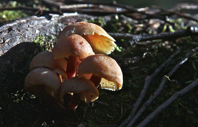
Unidentified fungi


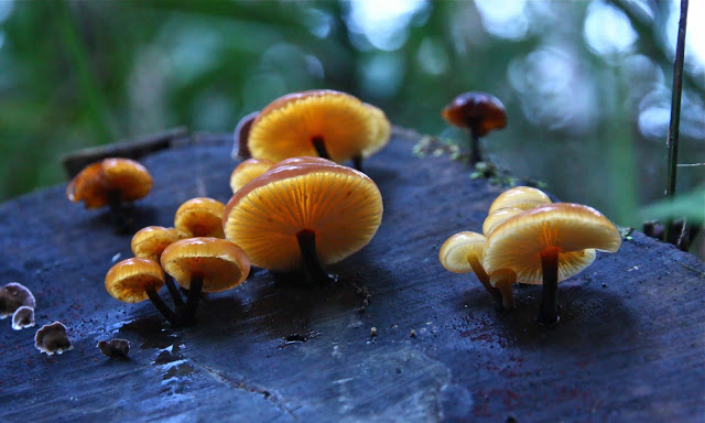
flammulina velutipes 


Looking forward to returning!

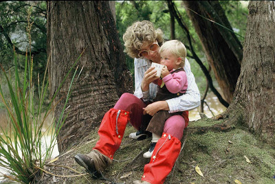
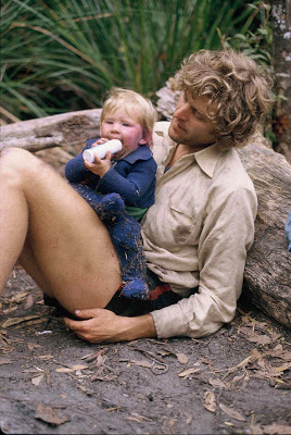
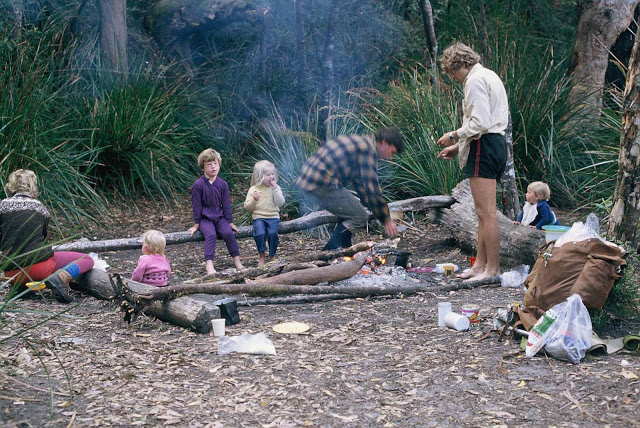
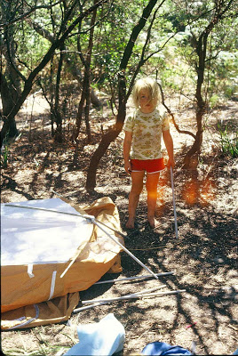
Gussy learns bushwalking 2011

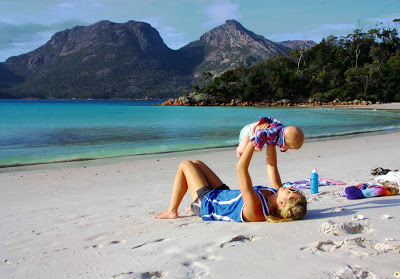
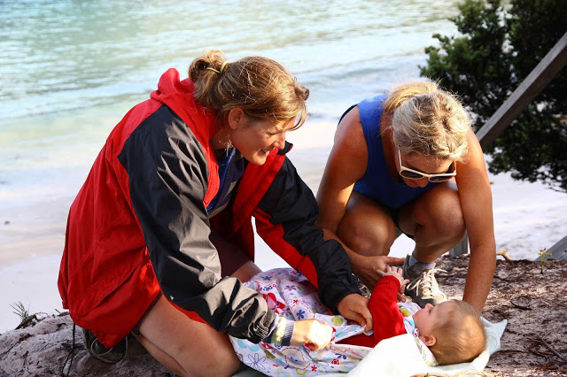
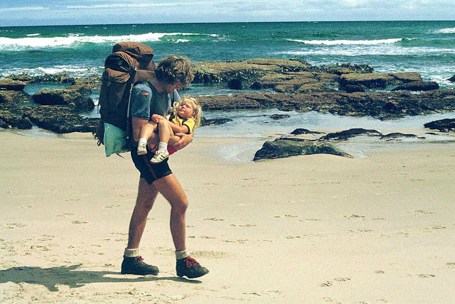
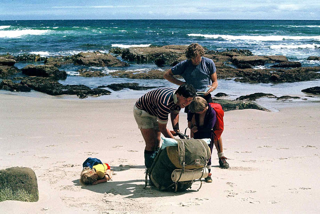
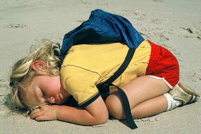
Wineglass Bay: Baby Gus learns bushwalking. His first overnighter.

A photo story …..


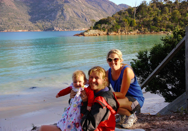
Three generations of Fairfaxes on Wineglass Bay Beach at the completion of Gussy’s first overnighter. This was a perfect destination for such an adventure.


Gussy, surrounded by love. He approves of Wineglass Bay


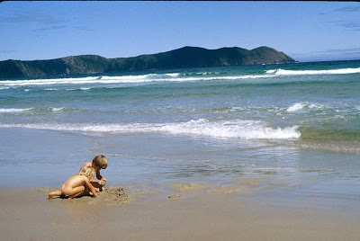
Bay of Fires 2007 Jan

Bay of Fires Walk  30-31 Jan 2007

We wanted to do the Bay of Fires walk, but did not want to pay a fortune to do what we could do perfectly well without paying anybody to do for us. But!! How do you solve the problem of a left vehicle up north while the walkers finish down south? That bit we couldn’t quite solve. Some enterprising fisher[person needs to offer a kind of water-taxi service like they do in New Zealand.

And precisely because we couldn’t solve that problem any other way, we parked in the middle of this walk. On the first day, we went to the northern end and back with just our daypacks, and the second day, went to the southern end and back. We thus effectively did the walk twice, but without big backpacks, and without the transport problems. We have no objections to backpacks, but big objections to hitchhiking in a car-less environment. This way was much better. It was good to see everything from both northern and southern angles, and the water was so spectacular, it was great to prolong our exposure to its beauty.