SWITZERLAND 1976 Bernese Oberland+ Zermatt

For this blog, I have selected photos from a time very long ago, when we were just beginning a life together of climbing mountains. We walked a huge circle in the Bernese Oberland that began and ended in Interlaken, and took us through, inter alia, Lauterbrunnen, Mürren, Wengen, kleine and grosse Scheidegg, Grindelwald, Gimmelwald and First.

There are also shots of the Zermatt area, a special place for me.
I am rereading my blogs now (2018) to place them in categories so I can put in a navigation bar. This is the first blog that has made me weep – to read of the start of a whole shared lifetime of climbing mountains that has now ended with Bruce’s death. I find it so hard to comprehend that it has finished.

Bernese Oberland
Bruce: Bernese Oberland


Bernese Oberland area

Climbing the Schilthorn

On the way up the Schilthorn
Bruce nearly on the summit of the Schilthorn, having climbed up from the valley in the snow.

Jungfrau


Eiger


Grindelwald area
A little climb before breakfast, near Grindelwald
Alpenglühe Bernese Oberland

Grindelwald


Grindelwald

Climbing up to the Hörnlihütte on the Matterhorn
From the Hörnlihütte on the Matterhorn. From the toilet, actually. Best toilet view in the world.

Hörnlihütte (more from the best toilet view in the world)

From the Hörnlihütte, on the descent
These photos have been scanned from slides, taken with an old SLR film camera. Stallards camera house in Launceston told me the slides were the equivalent of modern 22 megapixel shots (their clarity on a screen is superb; the texture almost bites you), and then charged me $100 to produce a series of 350 KB images. I’m afraid I haven’t forgiven them. But I still love the images for the Switzerland they reveal, and the memories they invoke.

SWITZERLAND 2014 Tour de Monte Rosa

SWITZERLAND Tour de Monte Rosa. I have the full report of this terrific route written up under the Italian heading, as most of the time was spent in Italy. The first and last days were, however, spent in Switzerland, and most people start there, so I am just posting a few photos here in case this is where you go searching, The main blog is under the link:
http://www.natureloverswalks.com/tour-de-monte-rosa/


This is our glorious path. If you look carefully, you can see the hut tucked in under the Breithorn. That is where we ate lunch. We still had a way to go yet before our evening’s lodgings in the Theodul Pass.


I have always loved the Breithorn. Passing underneath it was wonderful.


Arriving in  fog so thick we couldn’t see our feet for half the time. We didn’t see the hut until we were on top of it.


The view out the window during dessert time. We all ignored our food and rushed outside.


Yes, that’s the Matterhorn, close enough to kiss. How I love her. And she’s mine. Not half proprietorial, am I.

Day 7, leaving Italy: a day of great sadness. The pass just behind me is the border. From then all it’s all downhill, literally and metaphorically. This remains a very sad day of my life, as I now know it marks the end of an era for Bruce. Bit by bit life’s pleasures became lost to him, and he had to keep scaling down what he could do. I am so, so glad he got to do this and that we shared this extreme beauty together before it was too late.

ENGLAND Cotswold Way 2011-2

Cotswold Way (+Heart of England, Monarch’s, Diamond, Gloucestershire, Macmillan, Windrush, and Wardens’ Ways).


The first time my husband got me onto British soil, he was virtually dragging me, kicking and struggling (well, a bit of hyperbole there). My image of this island was that it had wall-to-wall buildings, that you would never get away from the madding crowds and that the food would be egregious. And, to add insult to injury, the denizens spoke English. How boring is that!

I changed my mind very quickly, about nearly everything. England has never ceased to amaze me in that it can have the population that it does, yet still retain endless tracts of houseless land. Not only that, but the system of ancient rights of way means that you can walk on far more of that land than often seems the case here in Australia, where “Thou shalt not” seems written on every door and fence. Following these dotted lines on the map, you can spend whole days without encountering a single other soul if that’s what you choose.
Tonight I have gone through my Cotswold Way photos with a view to writing this article, and feel the most astonishing homesickness for that path that we enjoyed so much. It is not wilderness like our national parks might aspire to, but it is certainly not urbanised, and almost all of every day we wandered at our leisure through woods and fields, past domesticated and wild animals and magnificent gardens, monstrous trees that reeked of history, their beer-bellied girths and gigantically spreading canopies telling their own tale of longevity. Meanwhile, when we chose to, we could interact with friendly country people who seemed to share none of the rapacious ways of the twenty first century. We loved them.

Our route was utterly unorthodox, and designed by me to fit our needs. The first part was done in 2011, and followed the traditional Bath to Winchcombe part of the route as per the map. At this beautiful village (town?) we unfortunately had to stop as our time was finished and we had to fly home. But we were in love, and couldn’t wait to be back (2012) to complete what we had begun – except, because we love it so much, we didn’t want to finish it as soon as the map said we should (we had a mere two days left). In addition, we would leave a bag of weighty stuff at our second starting point (Winchcombe), so needed to finish where we started in order to pick it back up. I thus designed a big circle that continued on past the end of that route, and went clockwise in a huge loop that returned us eventually to Winchcombe. This joined up sections of all the Ways mentioned in the title, in the order in which they occur.

There is something pretty amazing about wandering along, and happening on an ancient fort 5500 years old (Crickley Hill); reading a sign that says the beech trees you’re passing through are some of the oldest in the UK. Meanwhile, Painswick’s churchyard dated to 1377, and the post office there was the oldest in the UK (1428). Belas Knap had a burial ground dated 2500BC. All this history thrilled us.

And then we come to the wonderful Sudeley Castle, which originally dates back to Ethelred, in the tenth Century. The present structure, however, is much newer – built in 1442. In 1535, Henry VIII visited the castle with Anne Boleyn. Of lesser interest to me was the fact that Katherine Parr (another of Henry’s wives) is buried there; at Sudeley Queen Elizabeth I was entertained 3 times, and in 1592 was given a spectacular three-day feast to celebrate the anniversary of the defeat of the Spanish Armada. You just roam around, absorbing all this history along with the heavenly smells and sights being emitted by the old world roses – Albas, Gallicas, Portlands and more – thinking yourself back to those ancient times and somehow becoming part of them while you are there.

Tiny villages with caramel-coloured dolls’ houses and roses growing up the walls, spilling over the gates, sneaking through gaps in the walls; clear streams with ducks that quack hello as you pass; lush pastures with inquisitive bovines that chew and moo to pass the time of day; little V, a lamb I took a particular fancy to – all these and more are the delights of the Cotswold Way.

And as for the food! Wow. We were fed like kings. Breakfasts where bowls of fresh berries and homemade yoghurt accompanied the cereal were perhaps my favourites. At lunch we usually just had some soup, as we’d eaten so well at the start of the day. Dinner we had fun trying out various pubs.
Unfortunately something that can’t be repeated is the fact that – totally by fluke – we were there for the Queen’s Diamond Jubilee. We didn’t even know it was on until all of a sudden we couldn’t get in anywhere. We never make bookings. For me walking and holidays mean you are FREE, and freedom means no arrangements, no deadlines, no script, no constraints. I’d prefer to sleep under a tree in the drizzle than be a puppet, dictated to by a rigid plan. This is all very nice, except that when the people who actually rule England decide that since the queen has been on the throne for sixty years the people should rejoice. That means the Brits are going to party big time, and there is NO room at the inn – or anywhere else. We walked from village to village trying to find a free place to sleep. It was really tricky, but we always turned up lucky in the end, and had some absolutely fabulous experiences along the way, but I don’t want to turn this blog into a thesis, so I’m going to tantalise you and leave it right here. I will only say that if they declare another party for her 65th, we’ll be there!!!!

SWITZERLAND 2012 haute route July

SWITZERLAND haute route 2012
This route has been filed under the FRANCE section of the BLOG, as it began there, but as almost all of it took place in Switzerland, I am also just putting in a brief note here alerting you to where the proper blog is. Here are just a few photos to whet your appetite for the real thing.
http://www.natureloverswalks.com/haute-route-chamonix-zermatt/


Sunsets like this in the mountains are always a treat.


He is my husband, the closest person to me on earth – my soulmate and, of course, best friend – and yet I cannot for a single second imagine what it must be like to have a sentence like Parkinson’s Disease hanging over your every move, or to try to courageously do a route like this, negotiating terrain like this with all the fears and frailties that come with his disease. He fought his destination and his biology so valiantly. He never wanted to introspect about what was going on; he preferred to just get out and live as best he could for as long as he could, and I had to honour that.


He looks like an excited schoolboy, but he is being roped up to do a death-defying climb up a ladder that climbs to eternity. If he let go (and hence the ropes) instantaneous death would be a certainty. The guy helping him is a random British climber met in the hut. Such was the generosity of other climbers and walkers we encountered.

 Talk about a room with a view, eh? You should have tried the cakes: nearly as good as the view, and every bit as welcome. I had found it rather scary getting us both to this place, and was even more terrified of getting us out of it on the morrow. I nearly killed myself making sure that Bruce stayed alive.


Another moody sunset to close off the day.

Track life: a narrow path, mountains and eternity. Just how we’ve always liked it.

SLOVENIA Via Alpina 2010.

Slovenia. Via Alpina 23 May – 2 June 2010

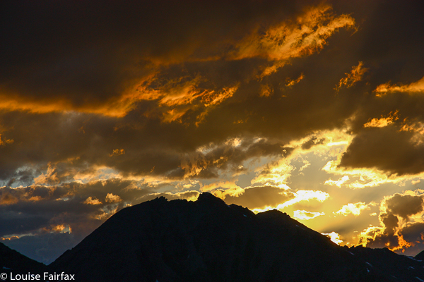
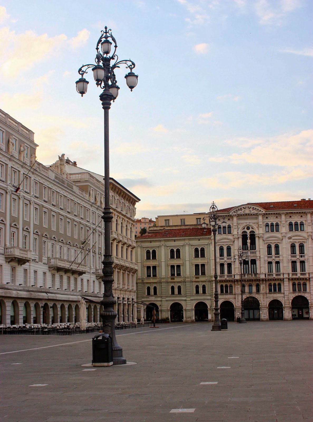
Trieste, our beginning. An excited me explored the silent city before dawn.
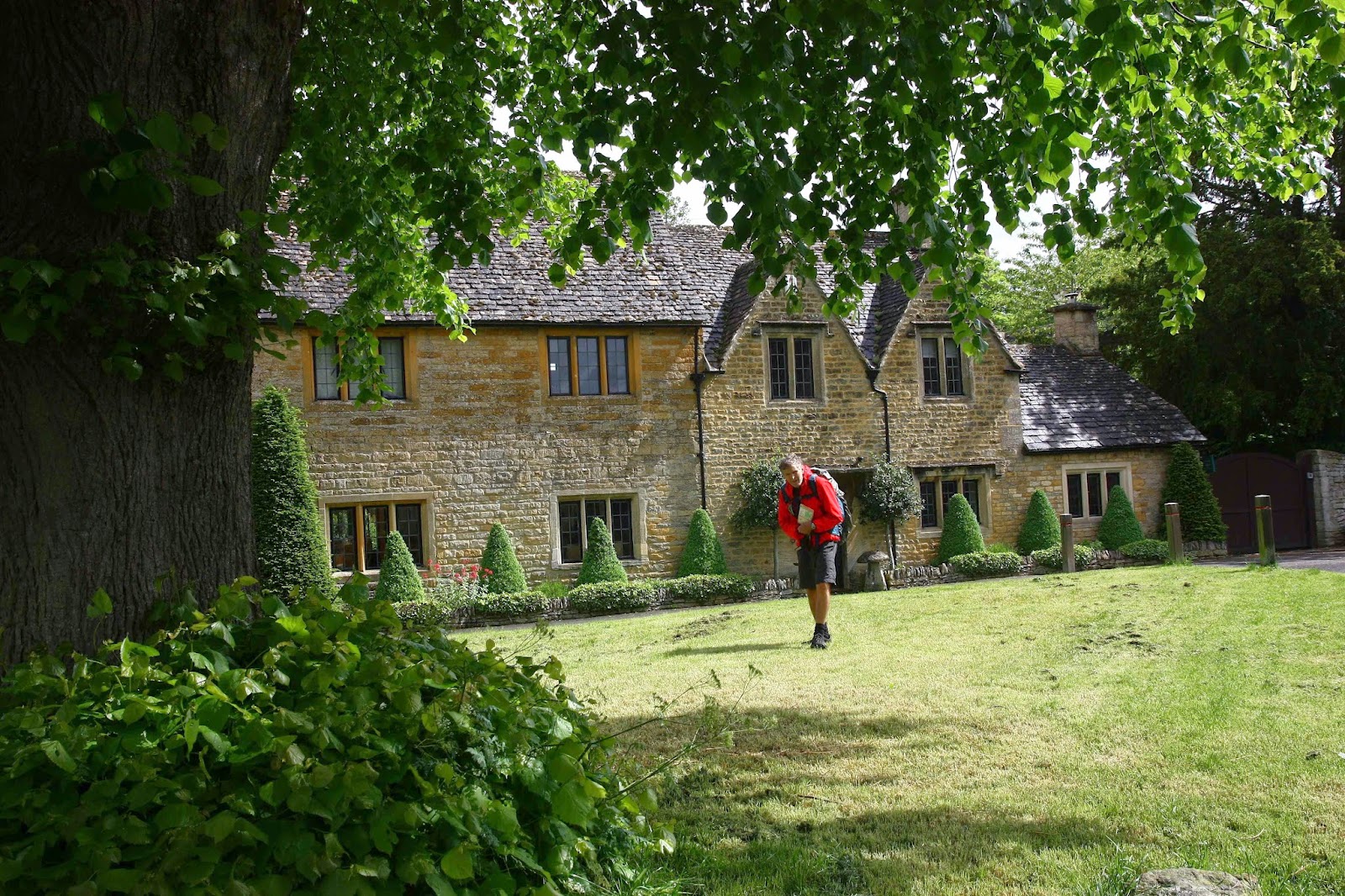
This is a glorious route my husband and I, together with our daughter and her husband, followed from the Mediterranean coast in Italy (Trieste), east into Slovenia, and then north to near the border of Austria.

It wasn’t as if the Via Alpina was a “dream come true”: I had never heard of it before my daughter suggested we do it, but it sounded like a good route when I did my web and book research. Maps were impossible to get from here, but Kirsten said she could get a few in England where they were living, and that we’d buy the rest in Trieste or along the way.

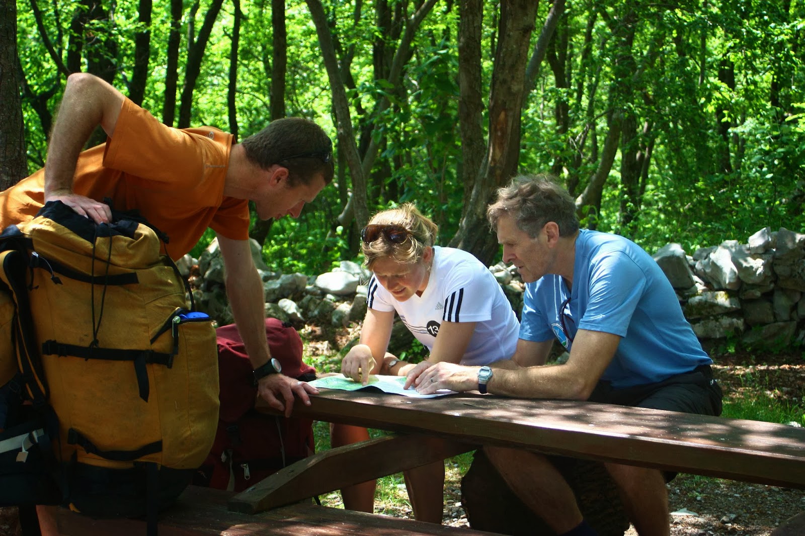
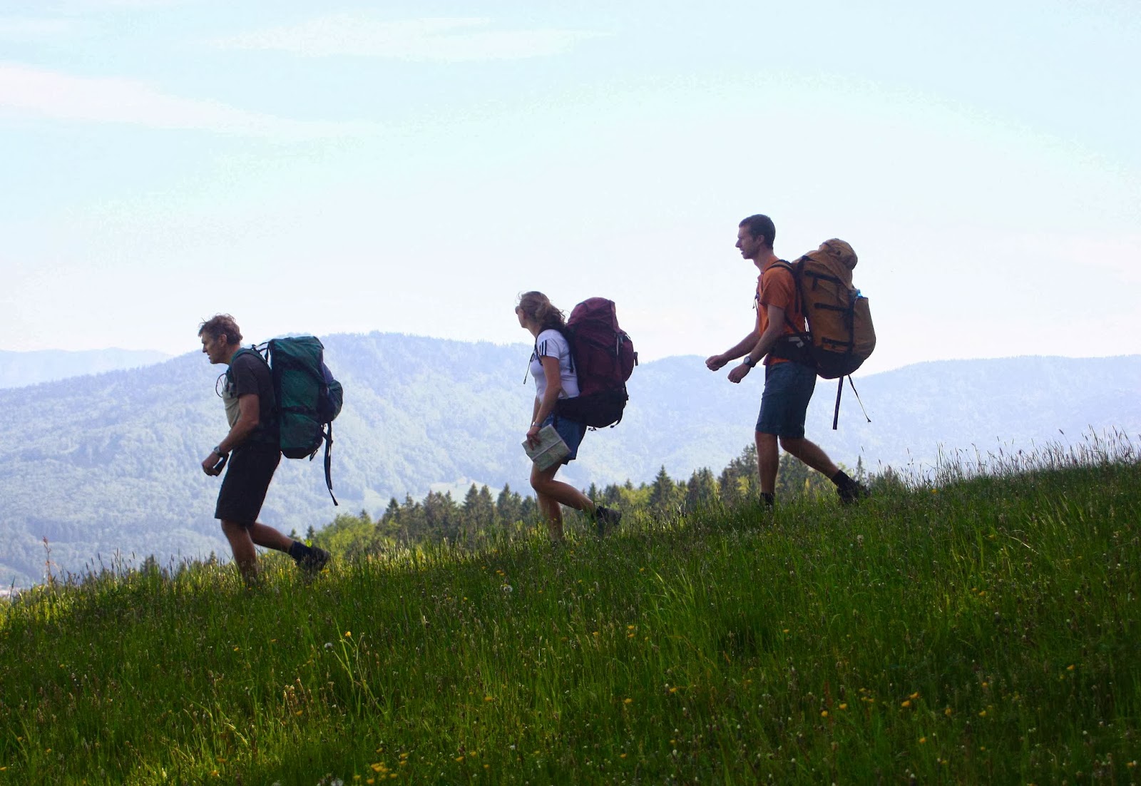
Despite many champion orienteers and rogainers in our group, directions constantly eluded us on the first few days. We were not alone in this problem.

That was a great plan, but on arriving in Trieste, we discovered that Italian shops only rarely opened, as it was a Saturday, or a Sunday, or a strike day, or a Saint’s day. So, we departed almost mapless (having also not been able to get from the airport into town for the same reason the day before … and we would encounter the same problem at the end when trying to return to get our bag of left gear). We nearly left foodless, but managed to find a panificio that made up for absolutely everything by the wonder of its wares. Weighed down with far too much because we could resist far too little, off we set into the mountains to the east of Trieste. Farewell Mediterranean.

Matavun world heritage caves – wonderful!
 
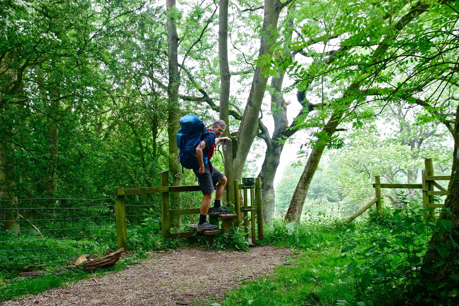
Near Idrija (where there is a YHA)

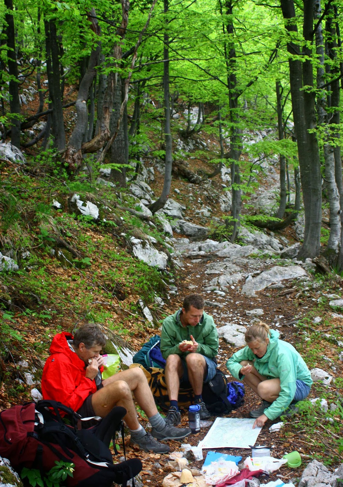
We climbed quite a lot and thus earned the feast that we flamboyantly spread out on a table in the forest at lunchtime. Delizioso. Now the packs were much lighter!

Also near Idrija

As I researched before I left home,, I had read a few references to caves on the first night after one had crossed into Slovenia, at Matavun, but didn’t think much about it. Caves don’t necessarily turn me on. We arrived at the town of the caves hot and bothered and almost without accommodation. The only place that offered beds in the place on the map (which could not be called ‘town’) had an owner who was hiding from the neighbours and kind of from us, until he found out that we were walking the Via Alpina, when he made us more than welcome, and even invited us to a party at his place that night as we would get no other food. Not only was the dinner wonderful, but we had fun at dessert time passing a huge bowl of chocolate mousse around the circle; the deal was you took a spoonful (own spoon) and passed it on until it was all eaten. Sometimes conviviality fails Aussie health and risk assessment standards, but we’ll opt for bonhomie any time. We had a blast.

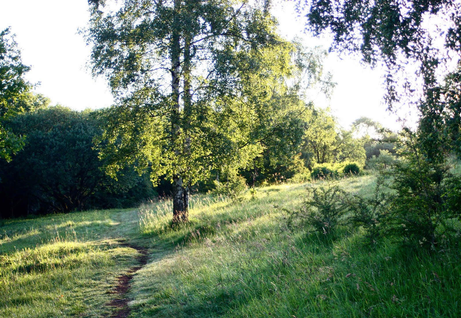
Near koča na Ermanovcu
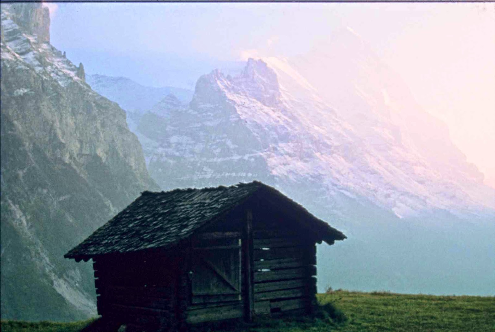
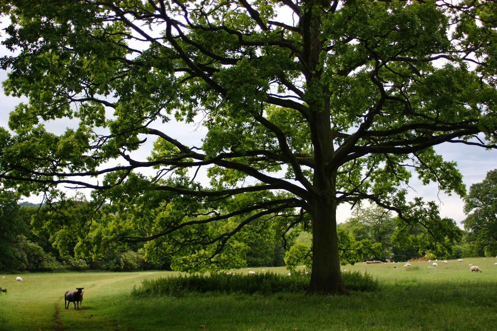
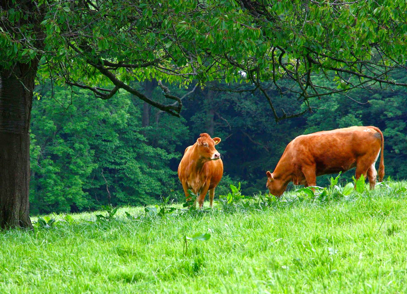
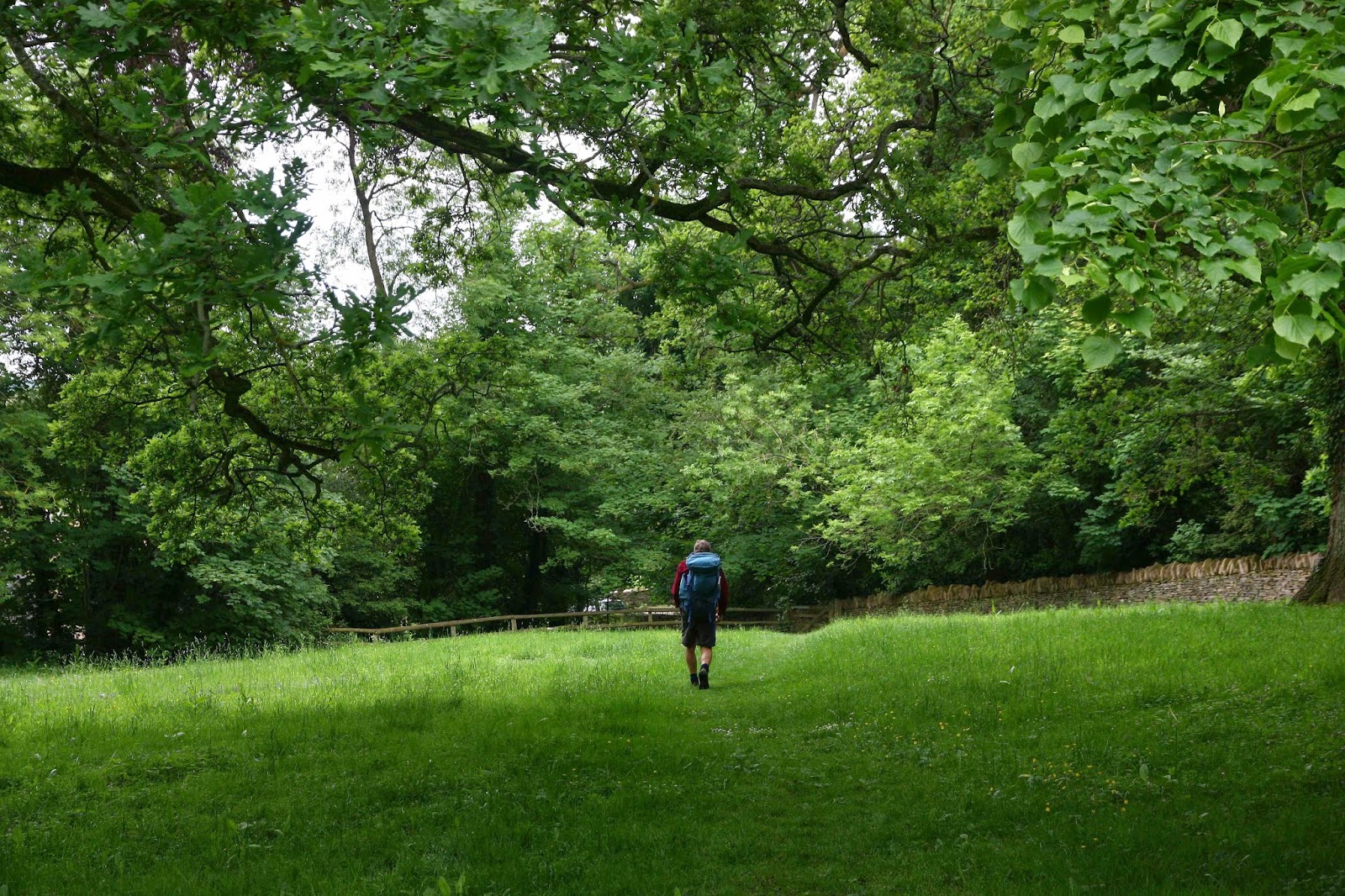
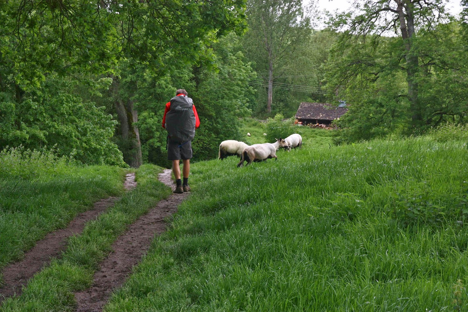
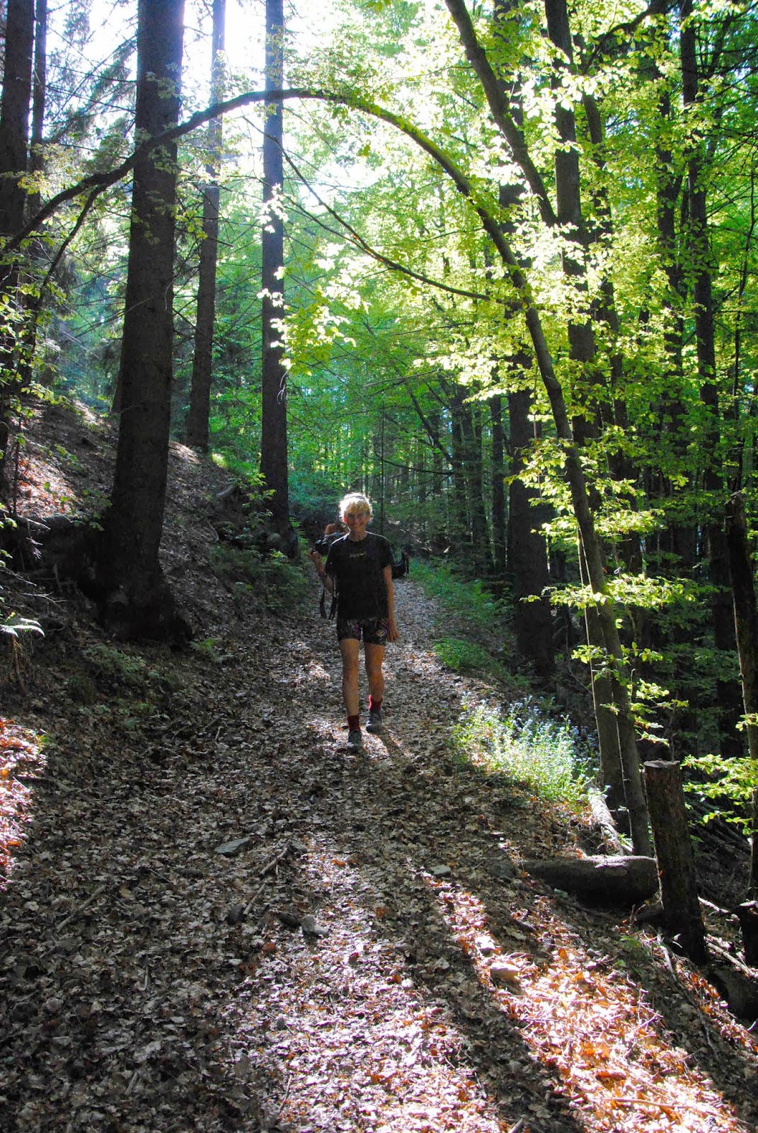
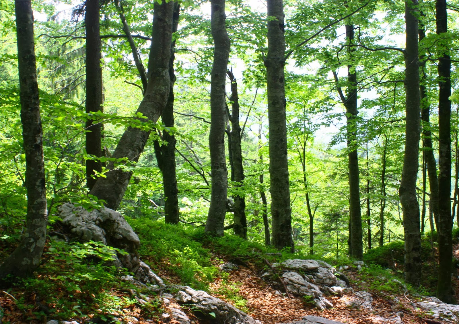
Slovenia, like Tassie, has a large percentage of beautiful forest.

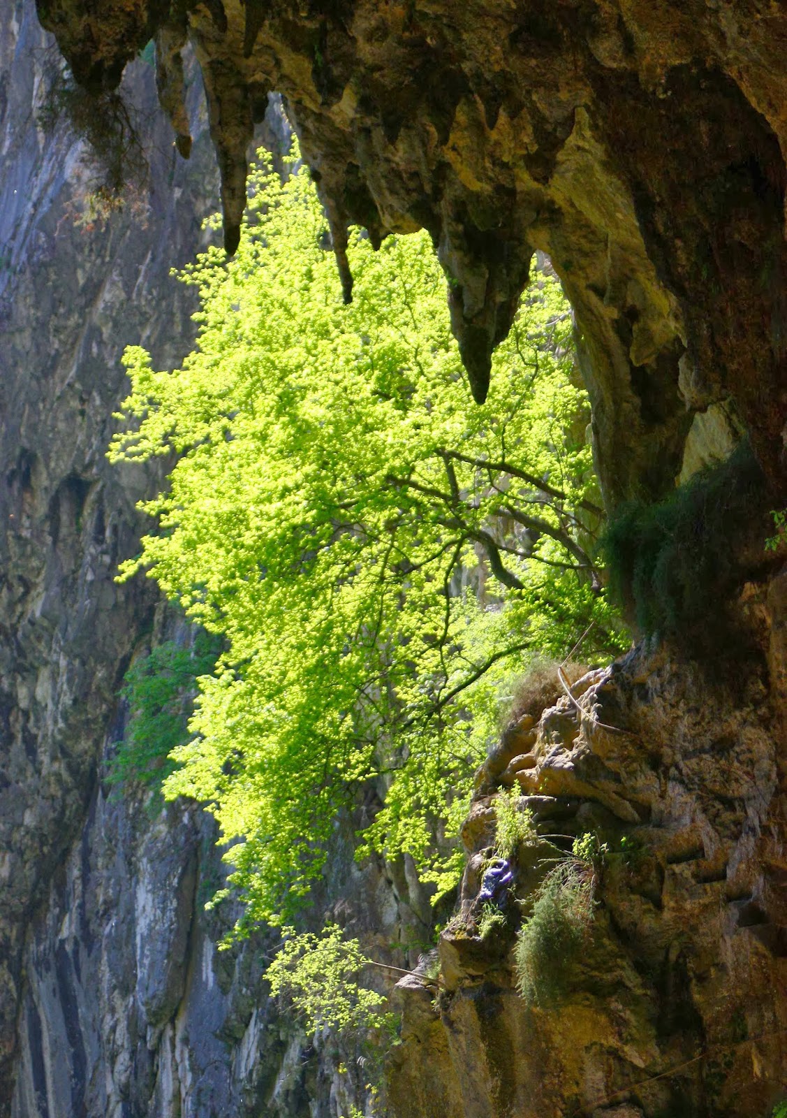
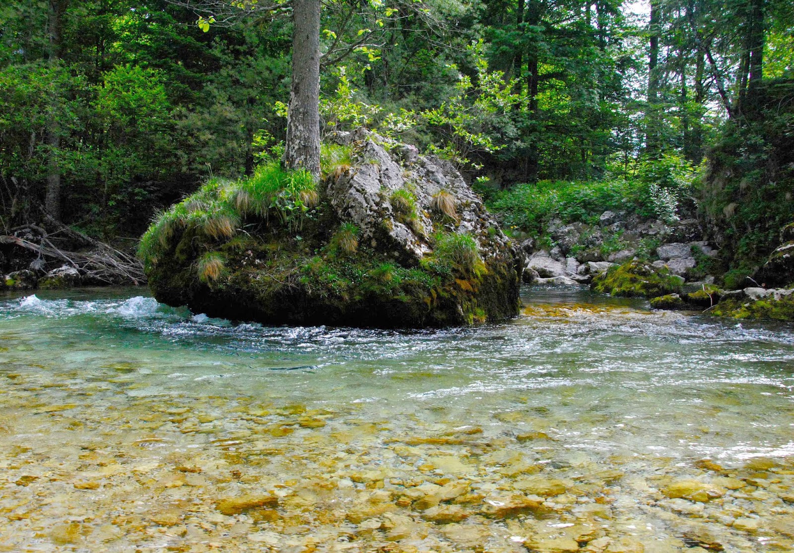
Because it had been so hot, we had headed straight down to the river on the map the evening before, with swimming and only swimming on our minds. The river was magnificent and the deciduous forest a wonderful lush green. Over dinner the caves had yet again scored a mention, so we agreed to check them out in the morning. They’re World Heritage caves, and for a good reason and they wowed us!! (So did the lunch afterwards. It seemed like this was going to be a good trip for eating.) It was also a great trip for costs. So far, everything was a price that more than pleased, and that was to continue for the whole way.

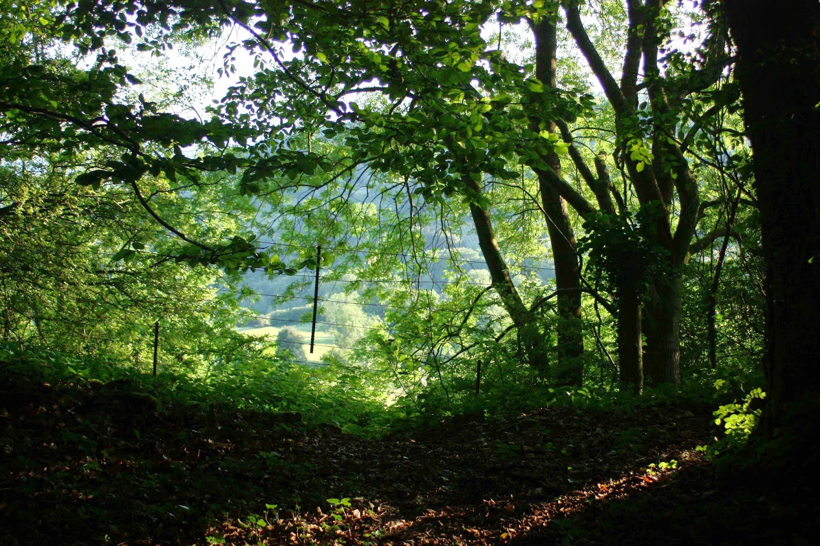
Setting out from koča na Ermanovcu
Climbing higher


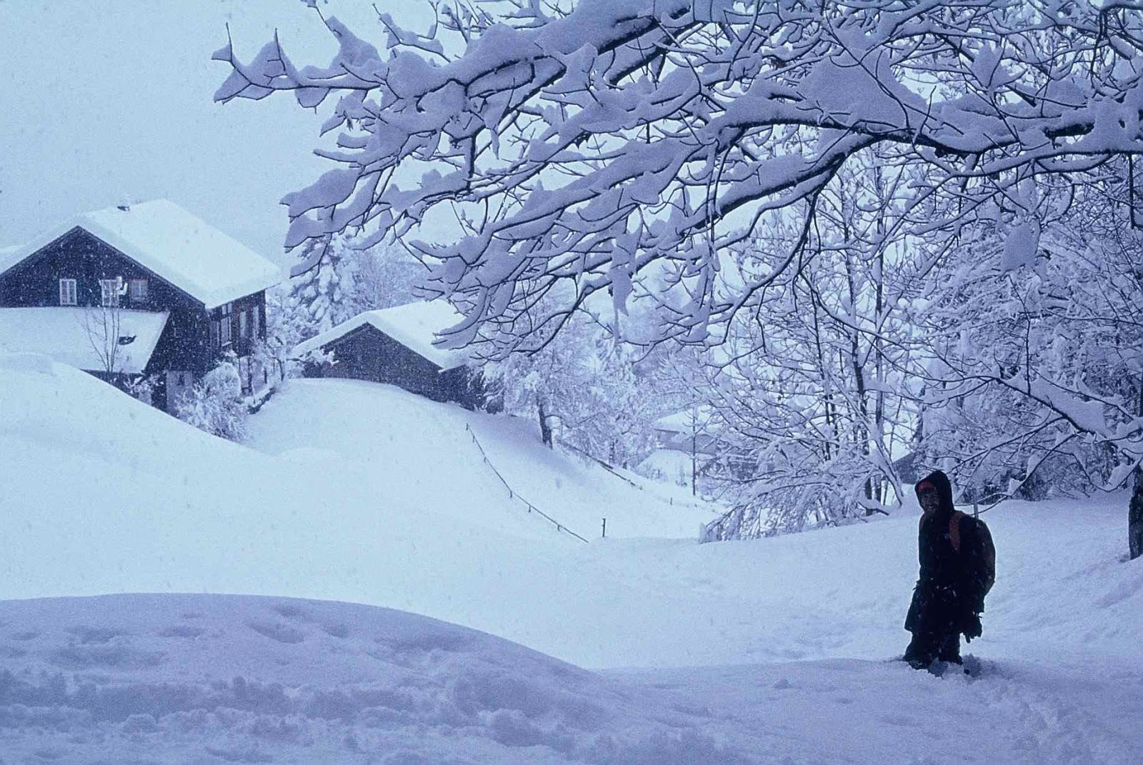
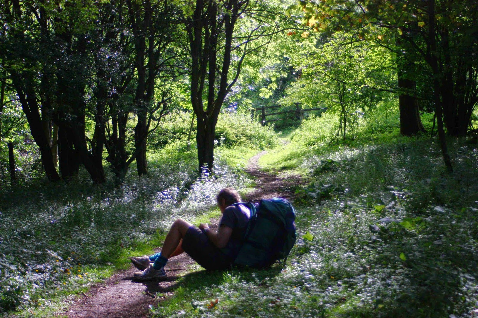
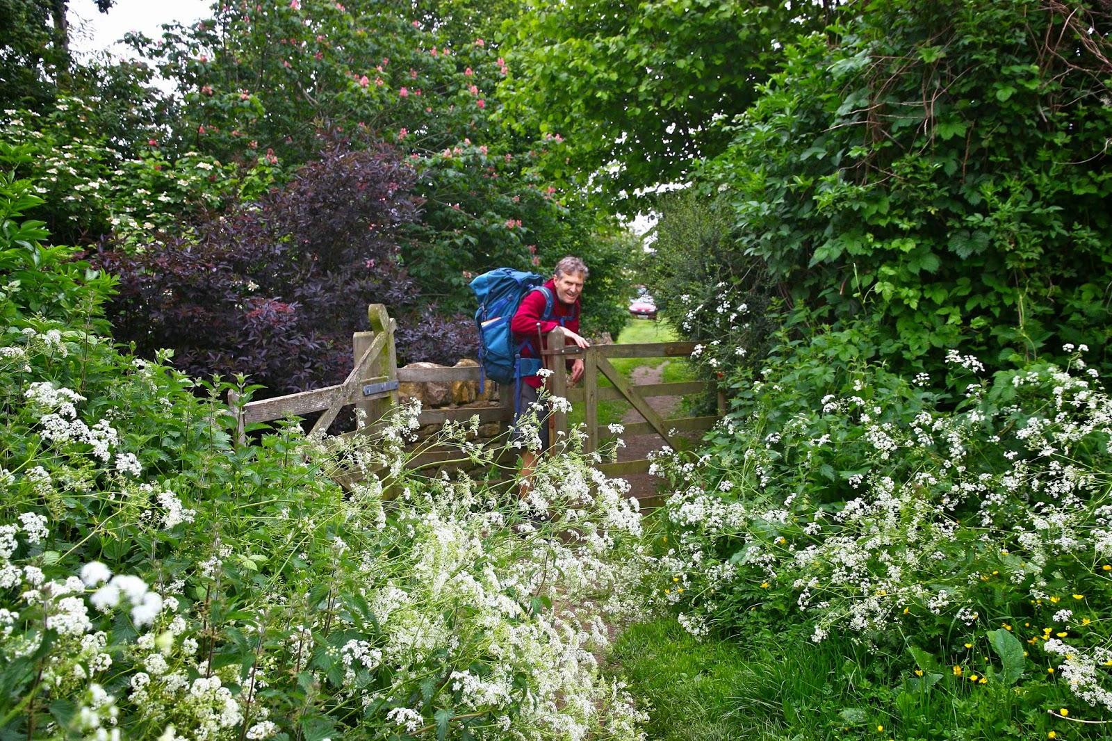
Still the map to reality relationship is confusing. On the way to Crna pest.

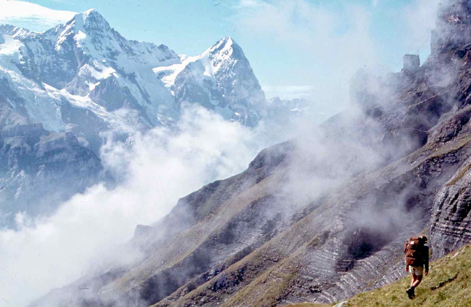
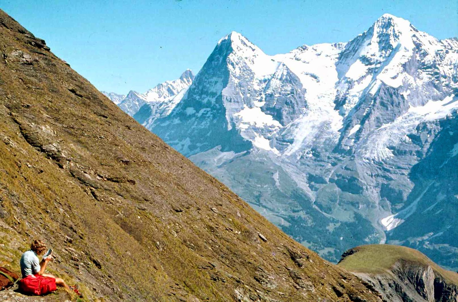
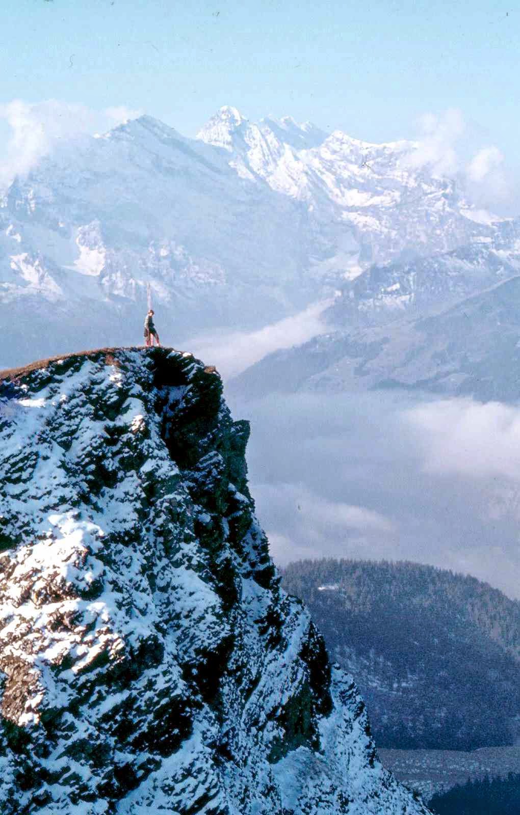
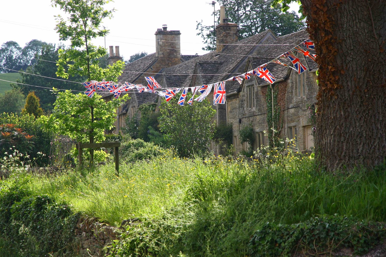
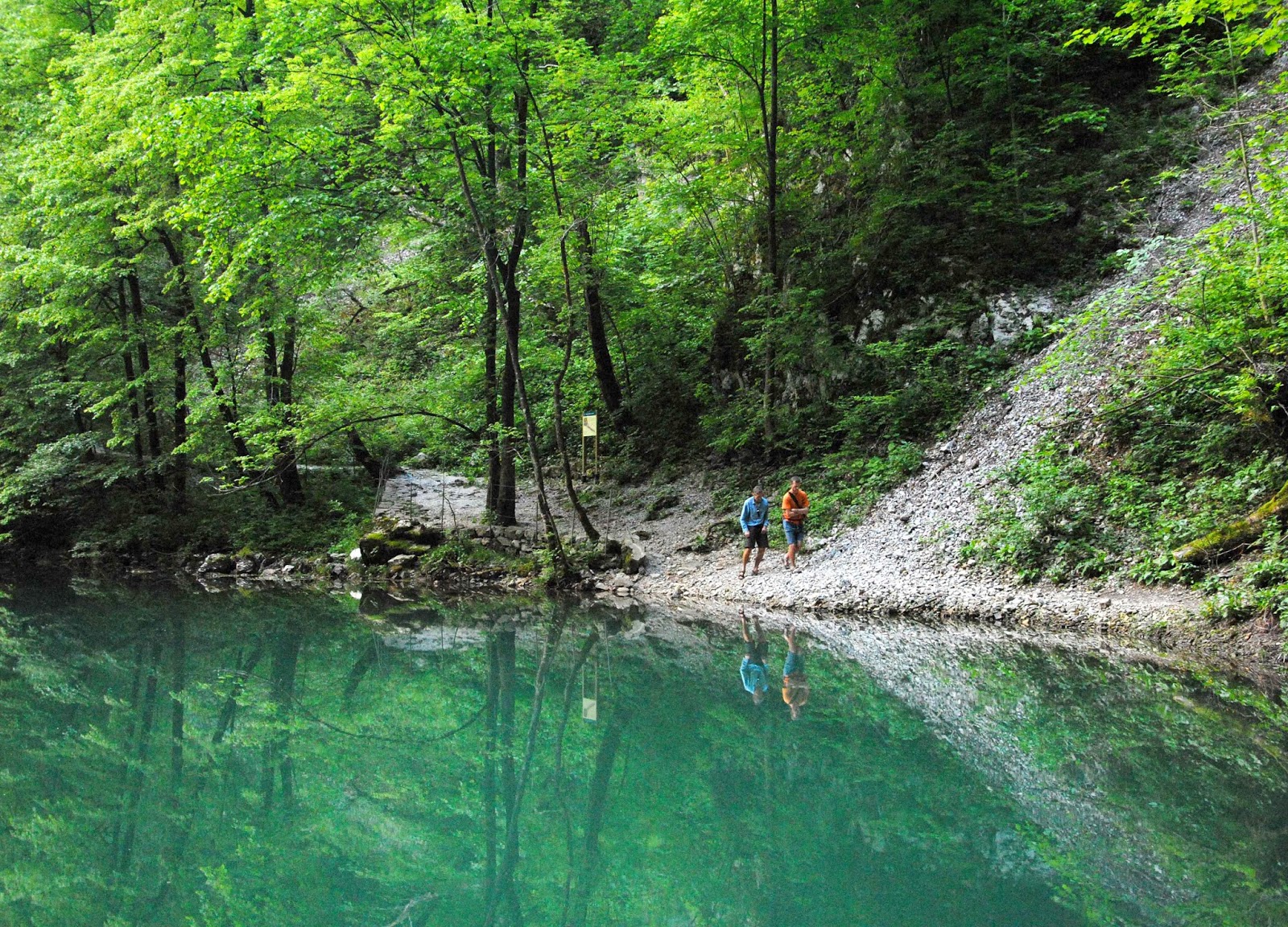
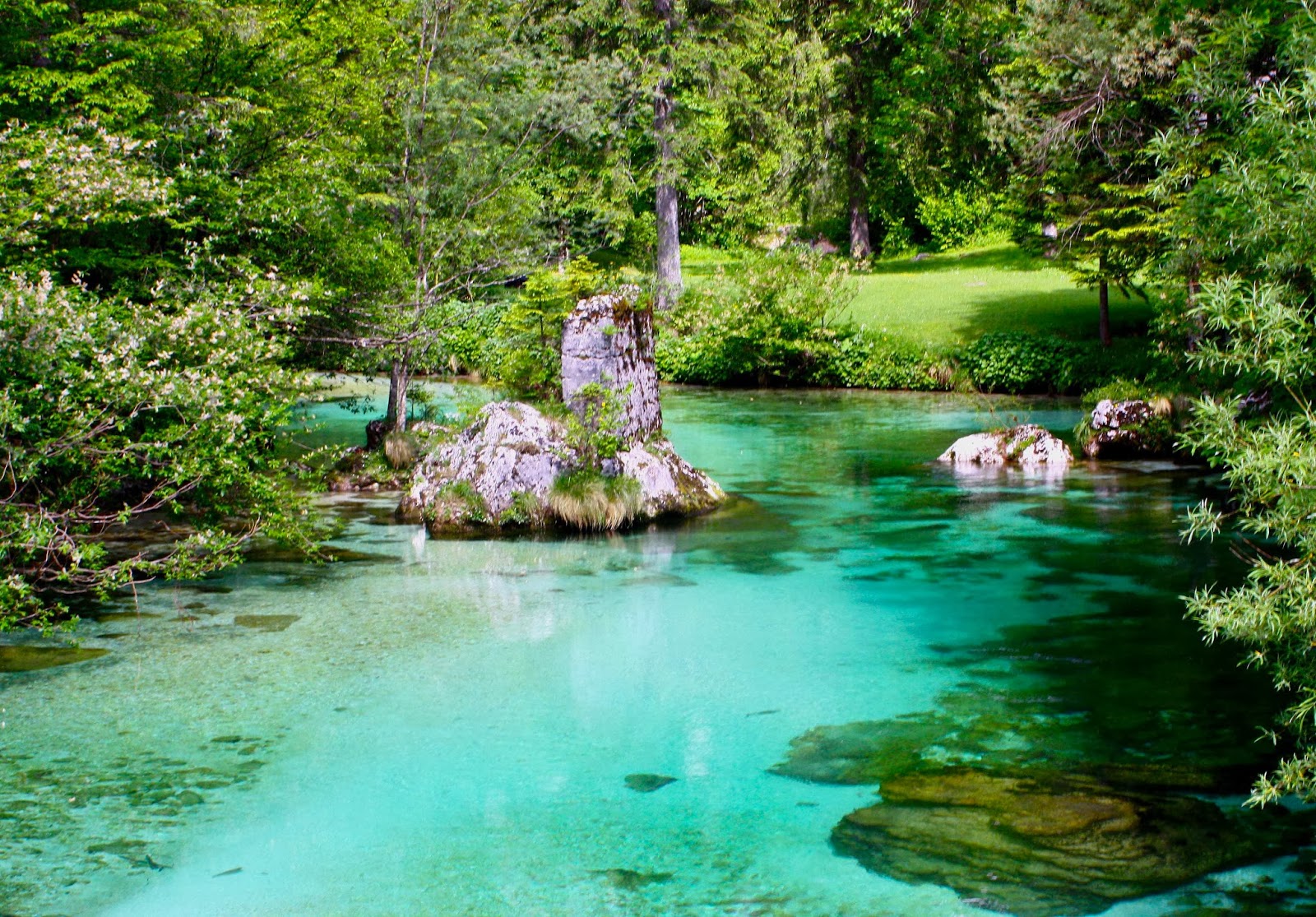
My pictures will try to hint at some of the other places of breathtaking beauty that we found. Despite all my web trawling, nothing prepared us for the amazing colour of the water (or the friendliness of the people we encountered).  I guess I should also add that anyone we met walking the trail (= , to be honest, one other couple) had the same trouble we had trying to match the map with the ground with the couple of odd markers that we found. This was not a track where you could pop the brain in the back pocket and have everything come to you. The first couple of days were the worst.

Near Ukanc bridge


Same.
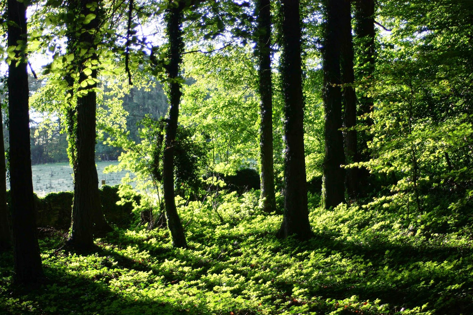
Magnificent forest the whole way (when we weren’t above the tree line). Climbing to Dom na Komni.


From just outside our refuge at Dom na Komni

Any time we found someone to ask their help, the person abandoned all other tasks and devoted themselves to getting us back on track. We, and the French couple we met, were even given lifts to places we were seeking as it was easier to drive us than to explain. When we ran out of food at Petrovo Brdo, the guardian got his brother to shop for us and run the stuff up to his hut.

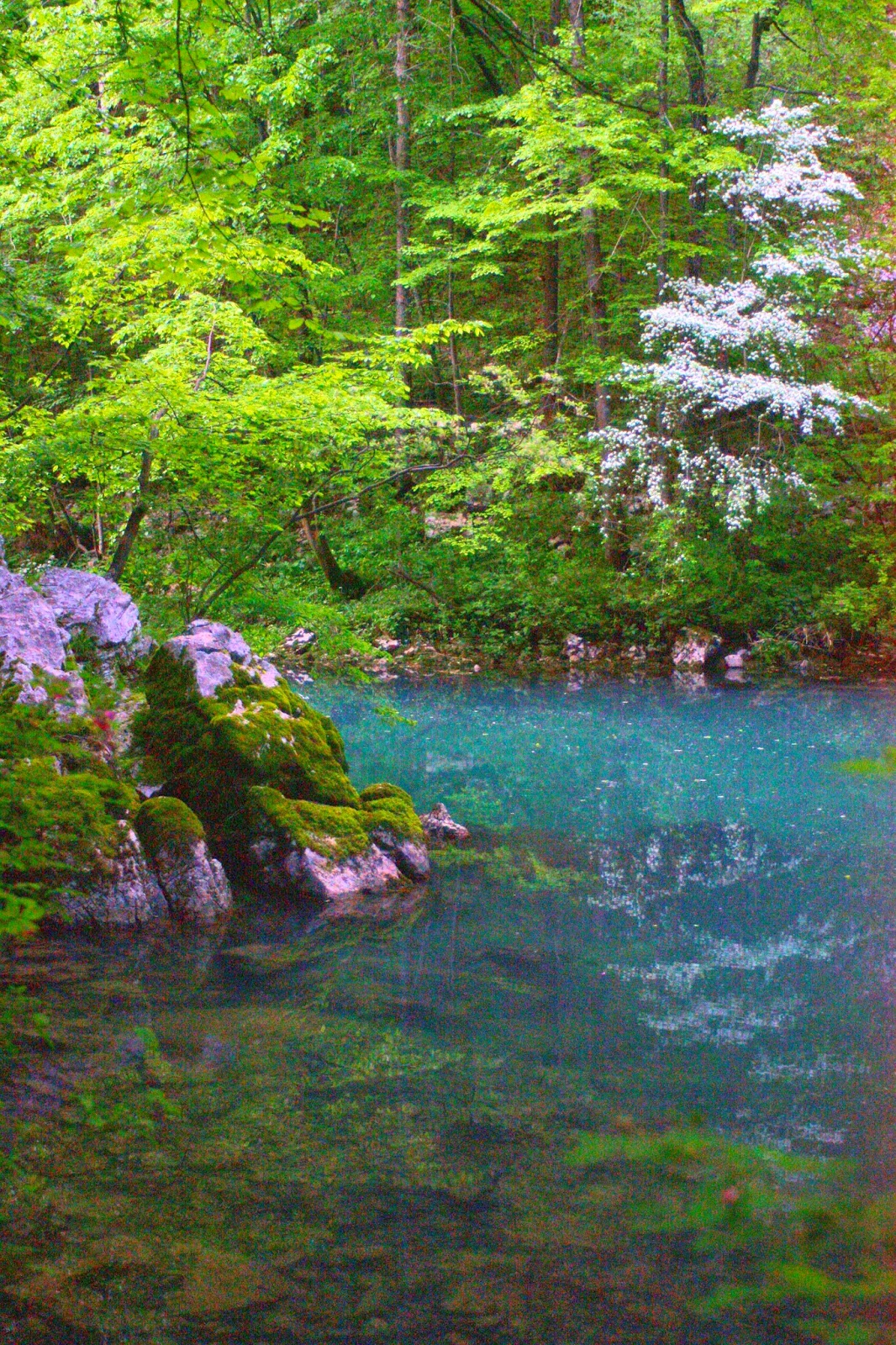
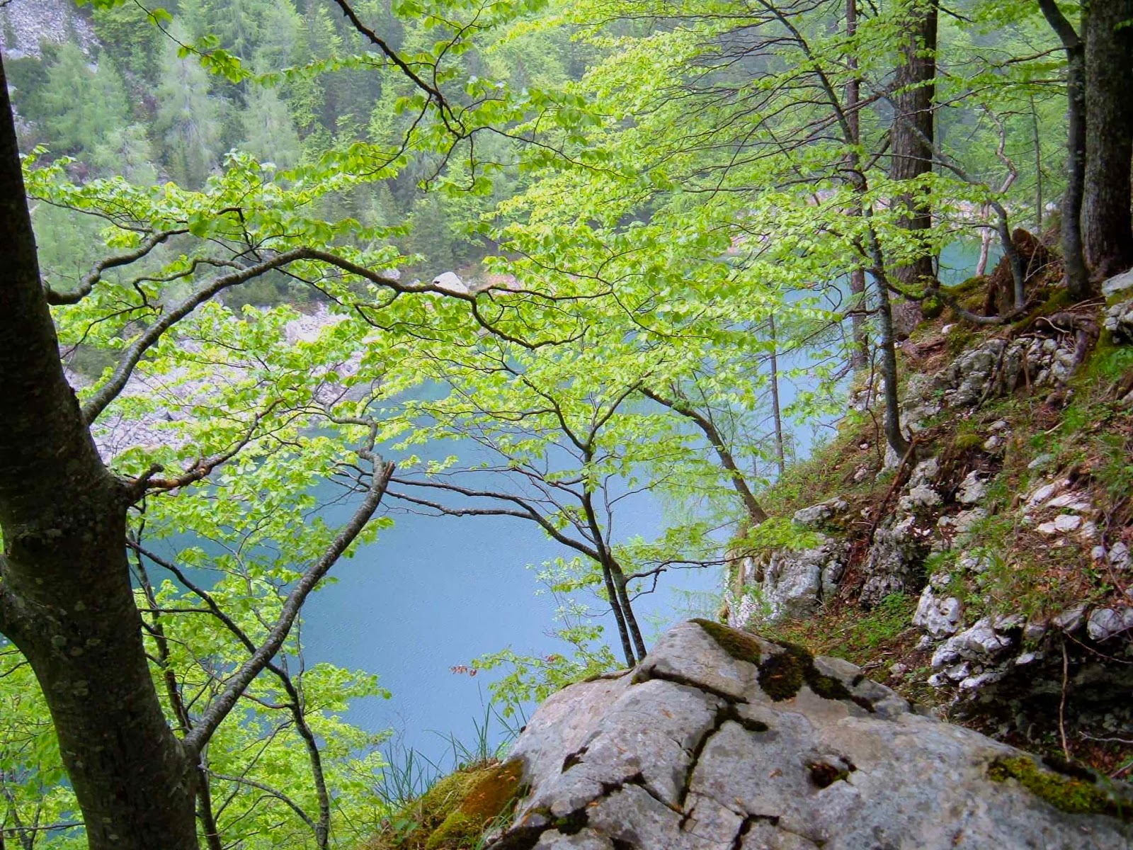
Black lake, which wasn’t black at all.


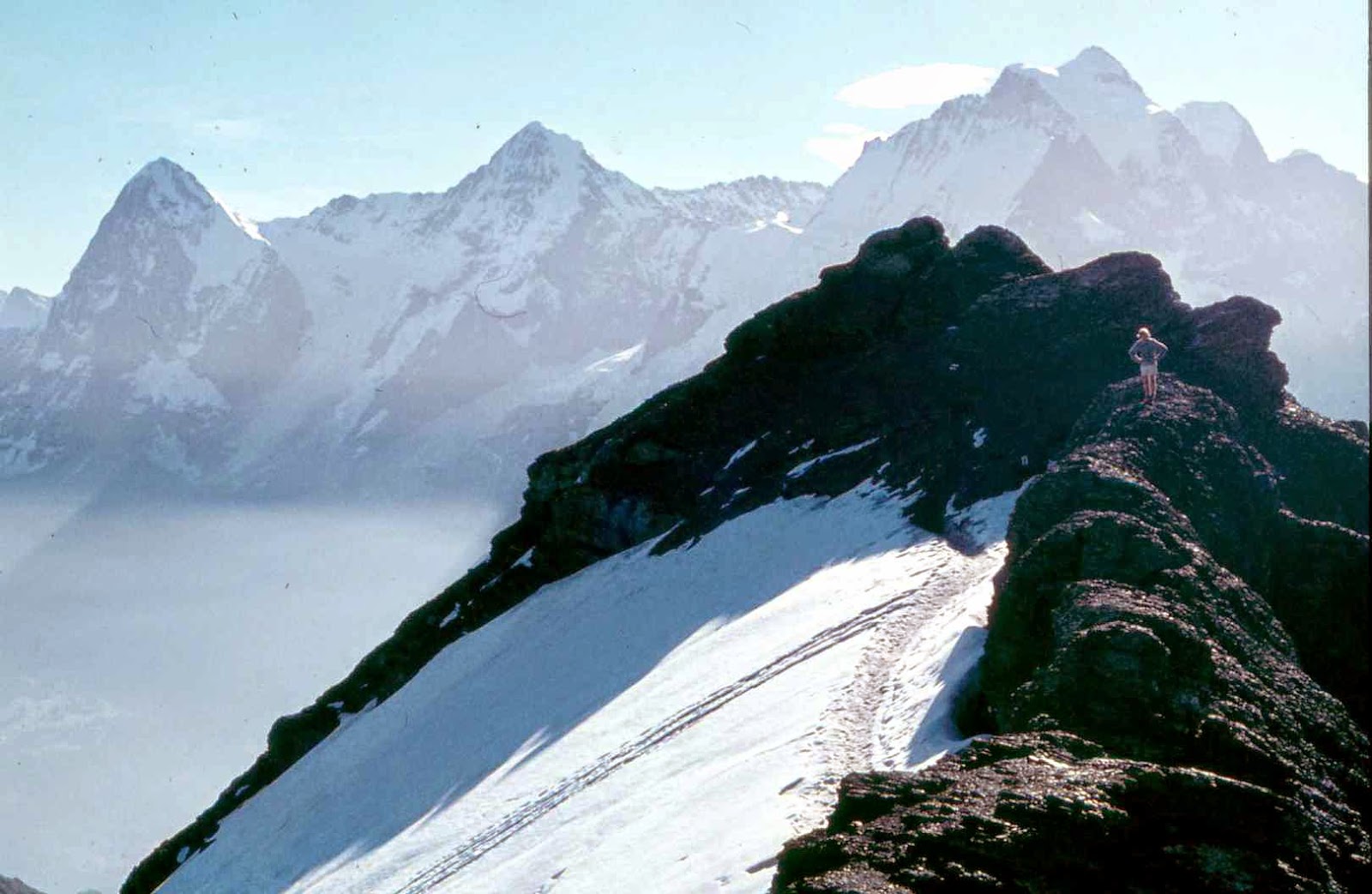
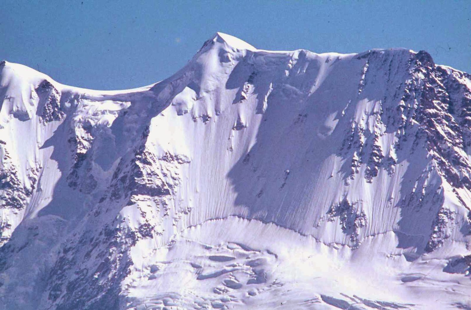
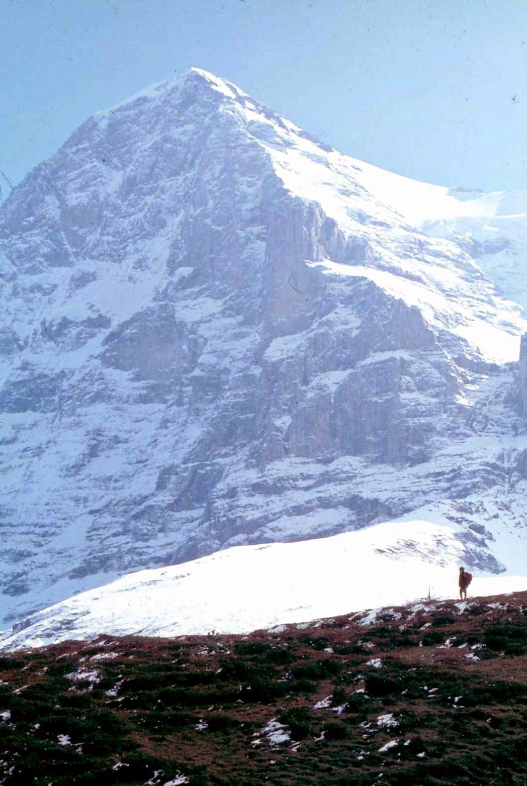
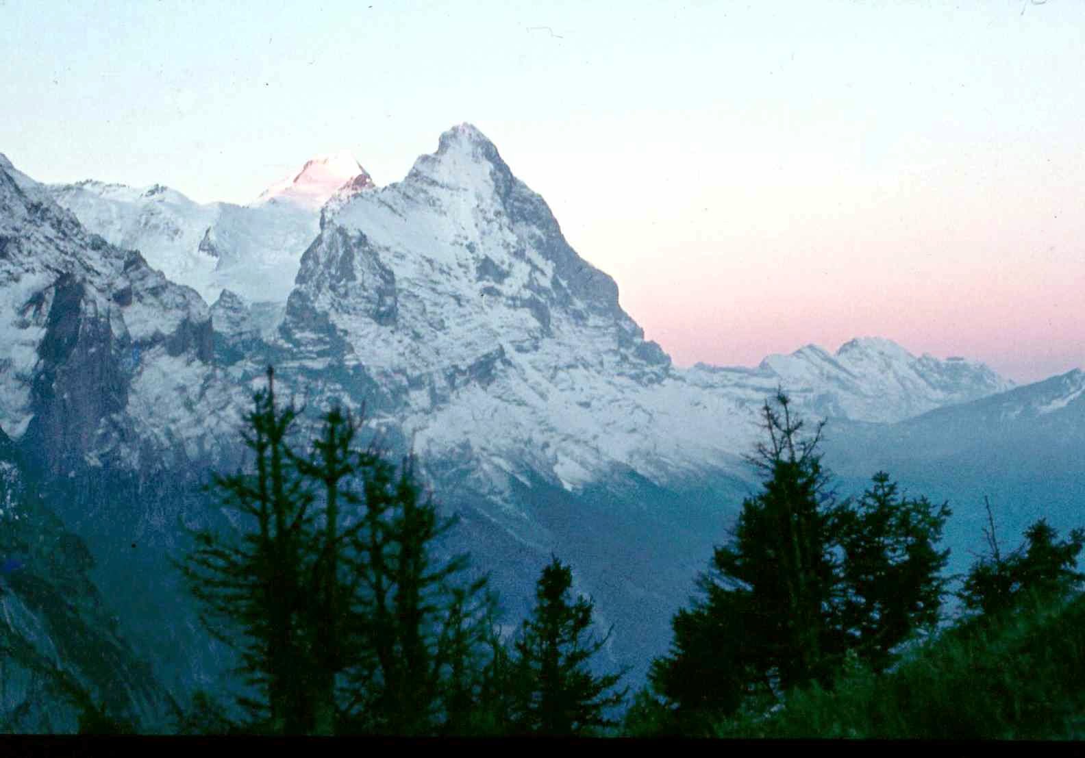
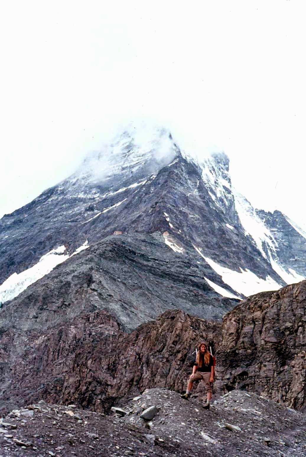
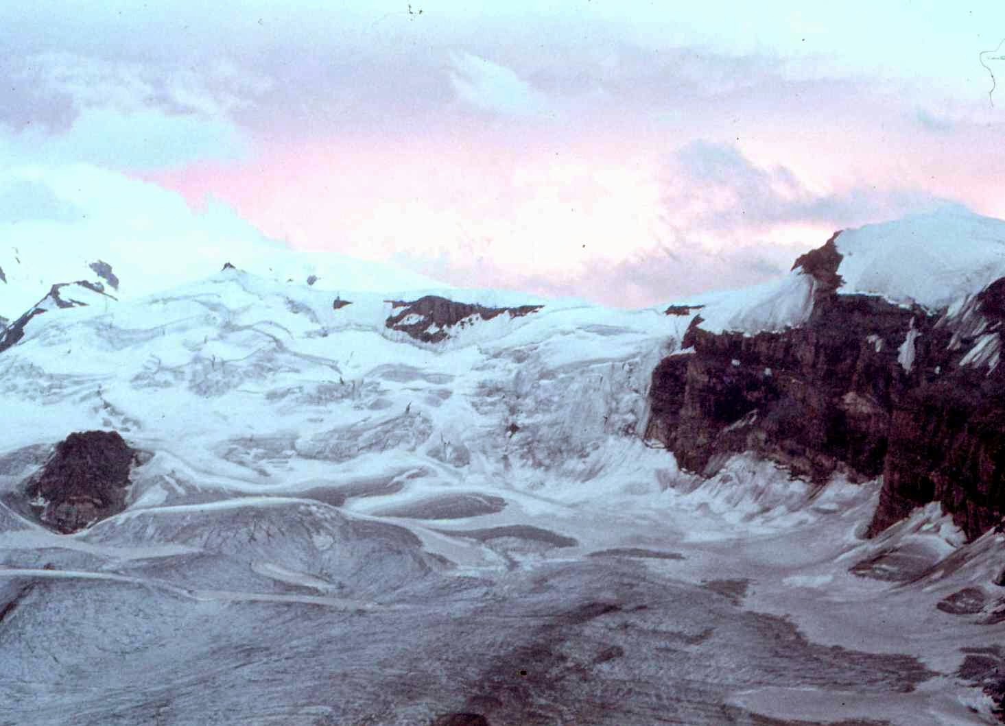
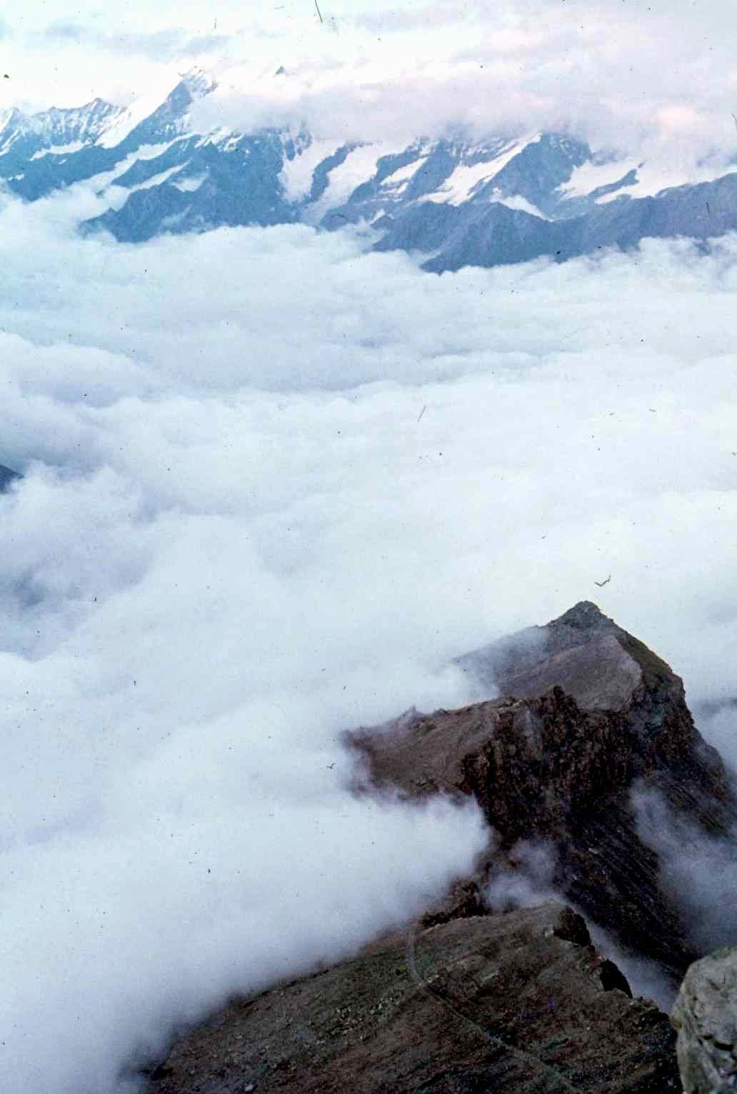
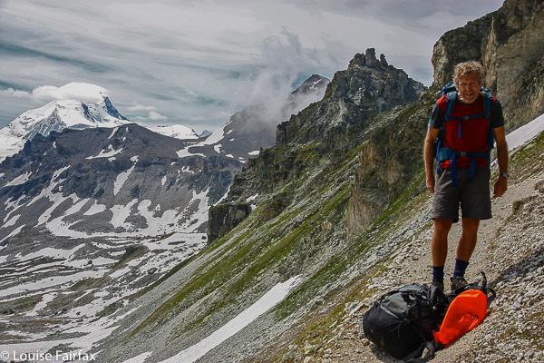
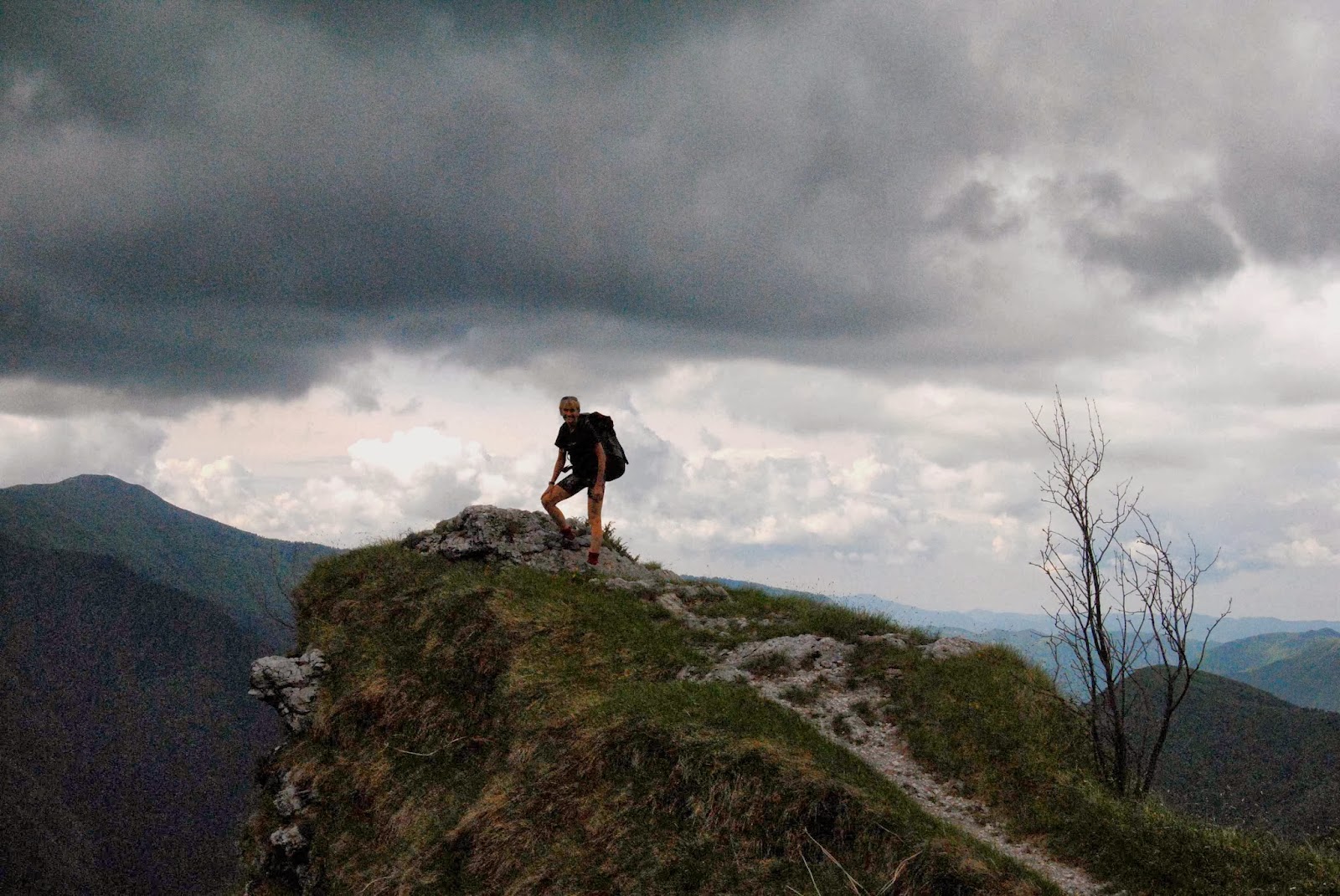
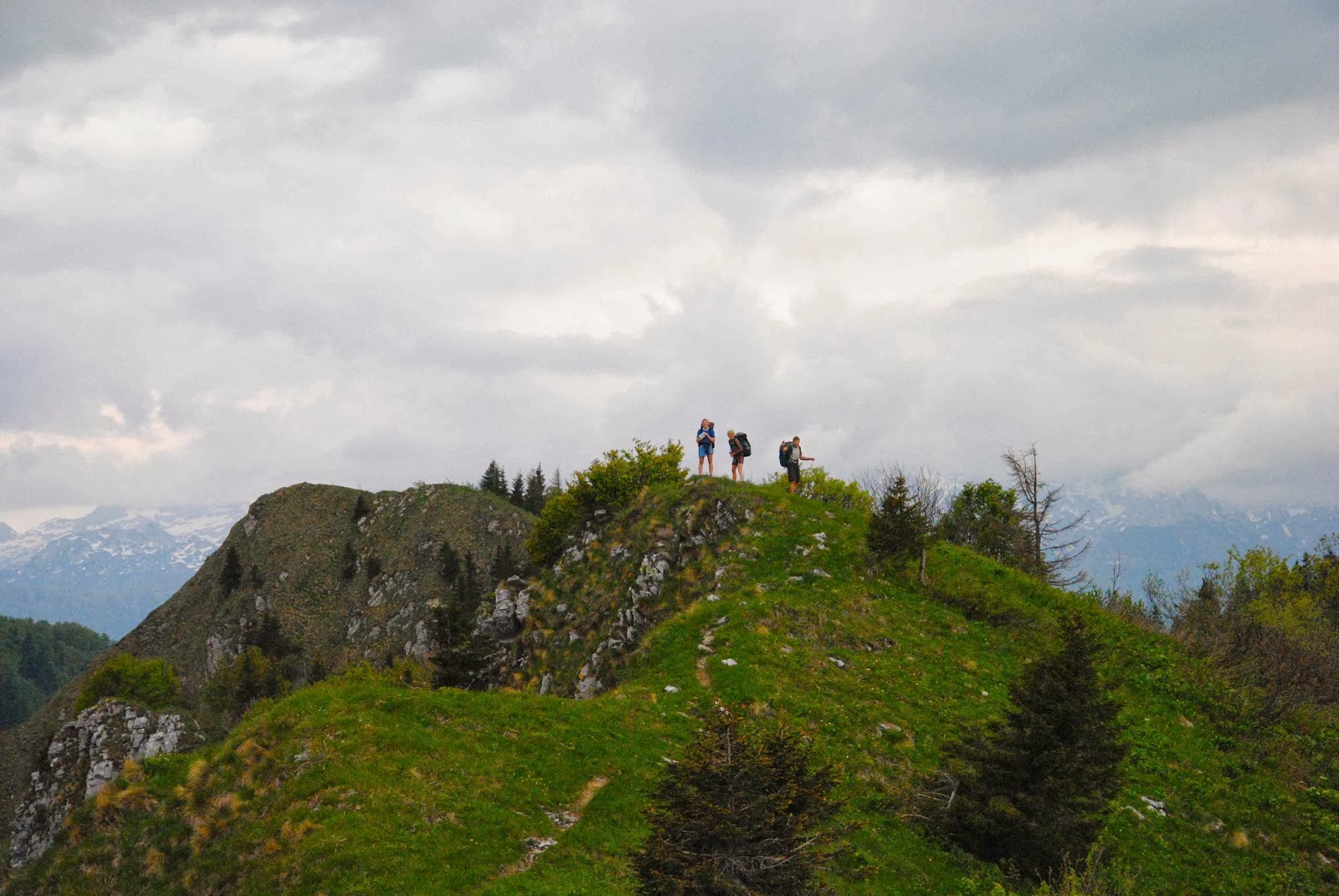
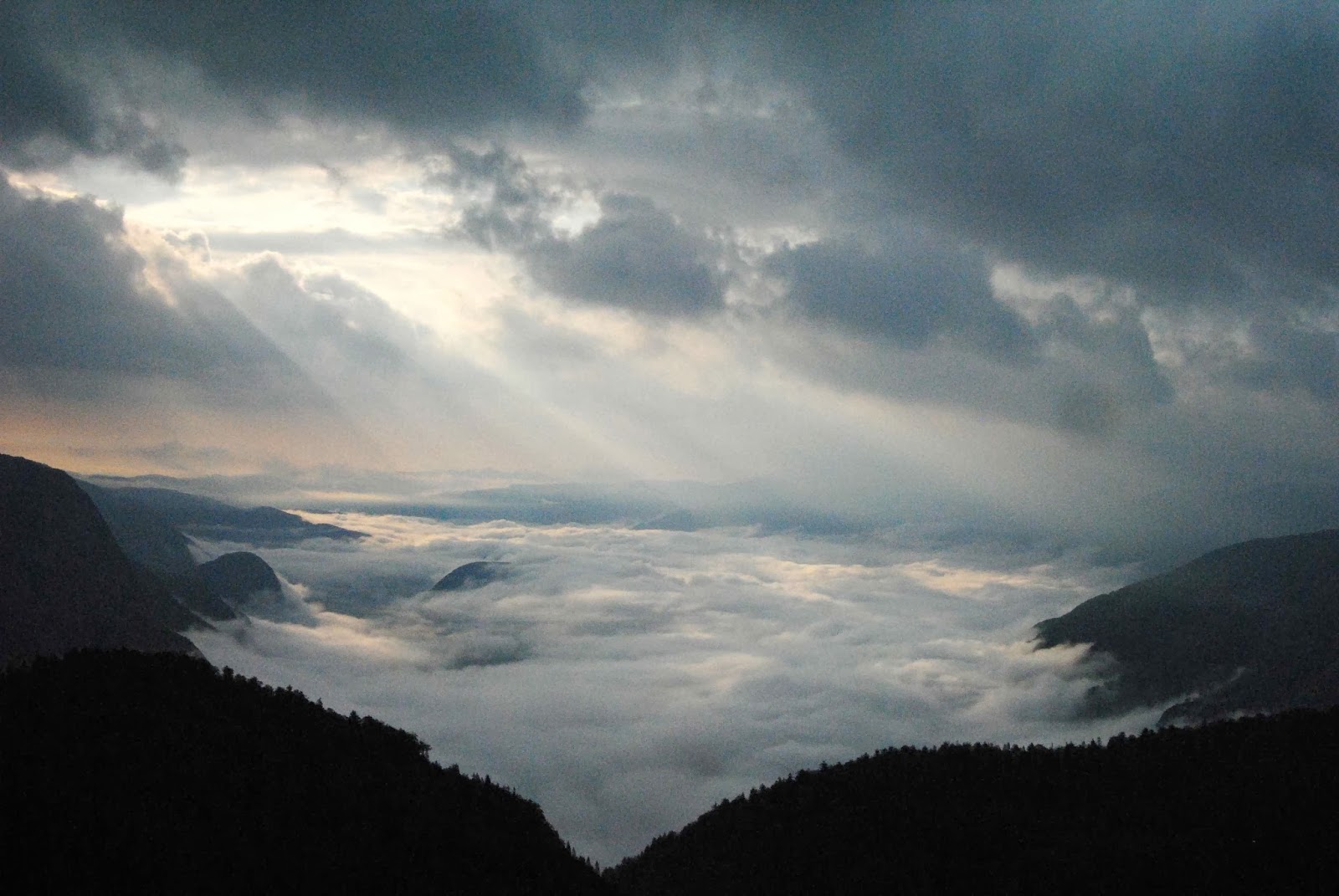
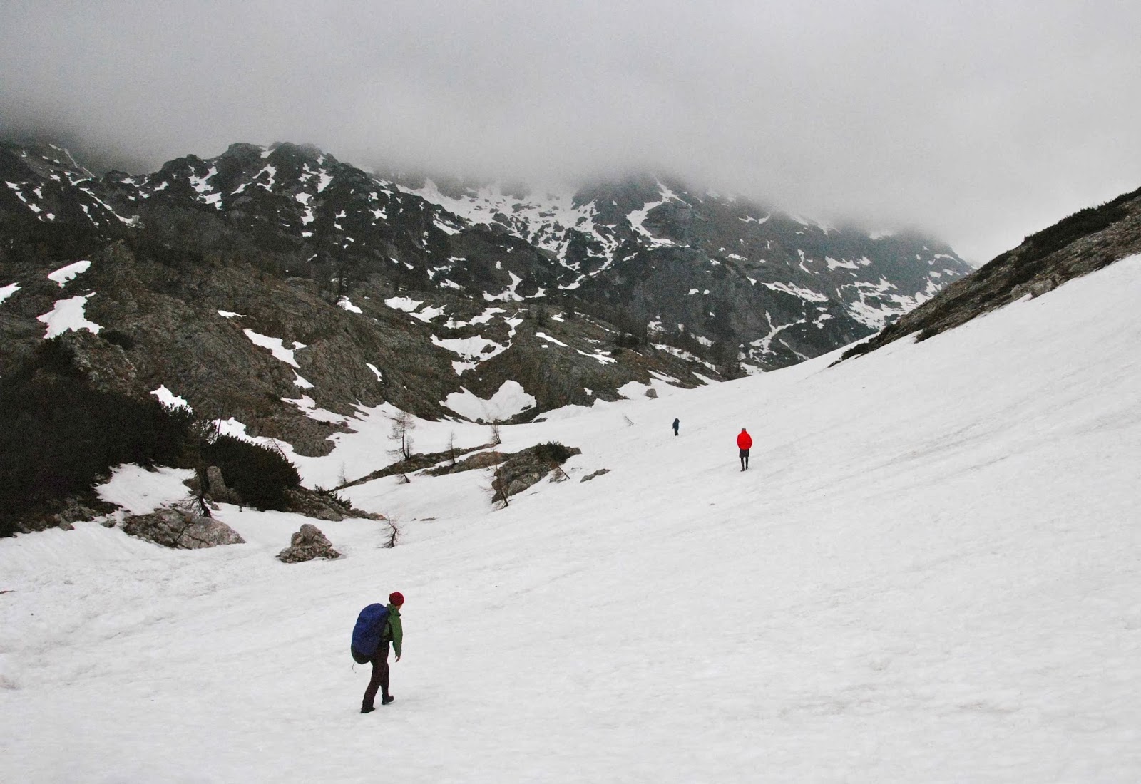
Nearing Triglauf, the highest mountain.
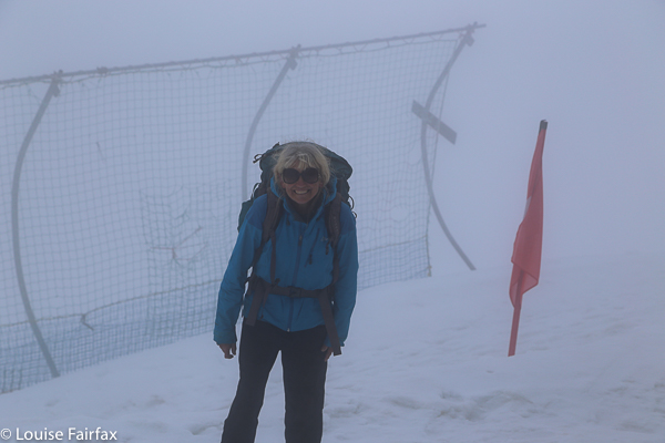
Our route was supposed to take us up the west of Slovenia along the standard trail, to the west of the highest mountain of Slovenia (Triglauf, which I had every intention of climbing) and on into Austria. However, an overabundance of snow and the closure of all huts in the northernmost section, together with the fact that my husband needed a dentist meant that we went as far as Triglauf but then doubled back through the snow and headed east through different mountains and then did the last bit to Bled by bus (where my husband was treated superbly by the hospital).
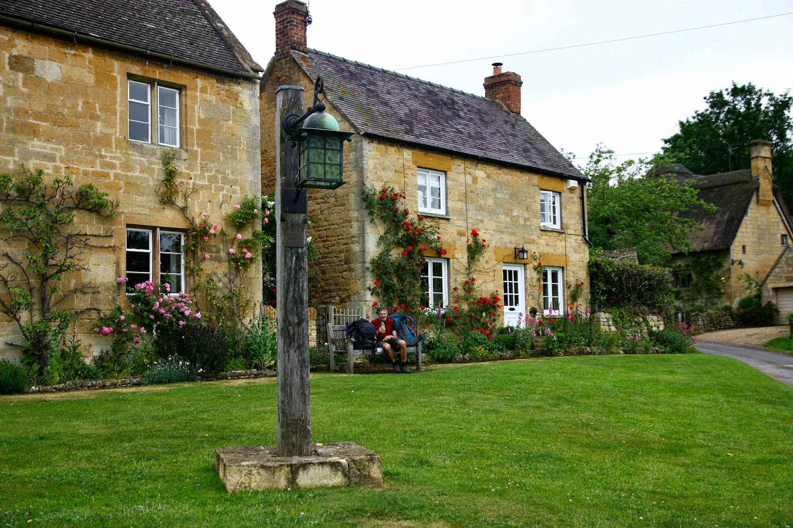
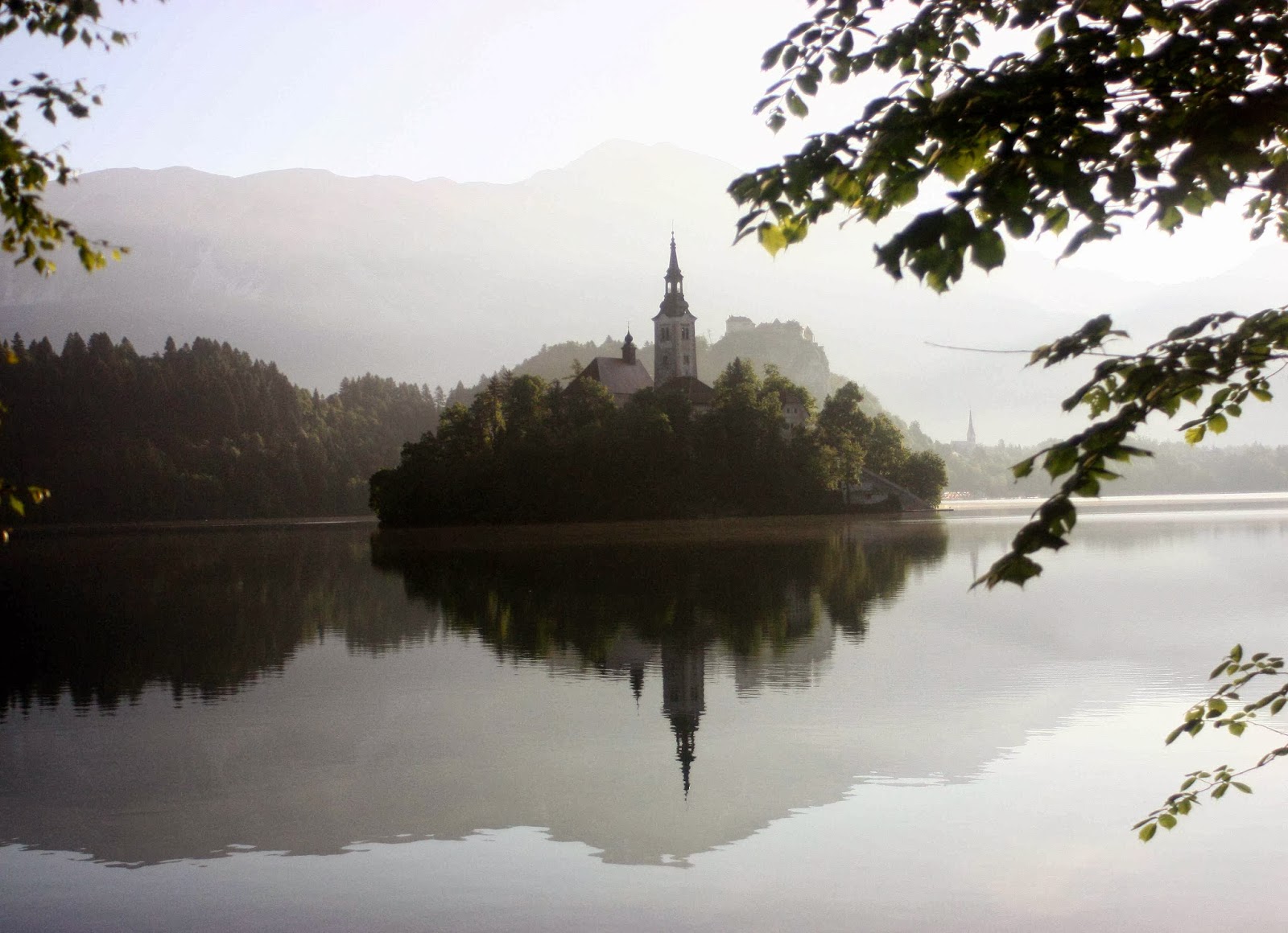
 
Bled


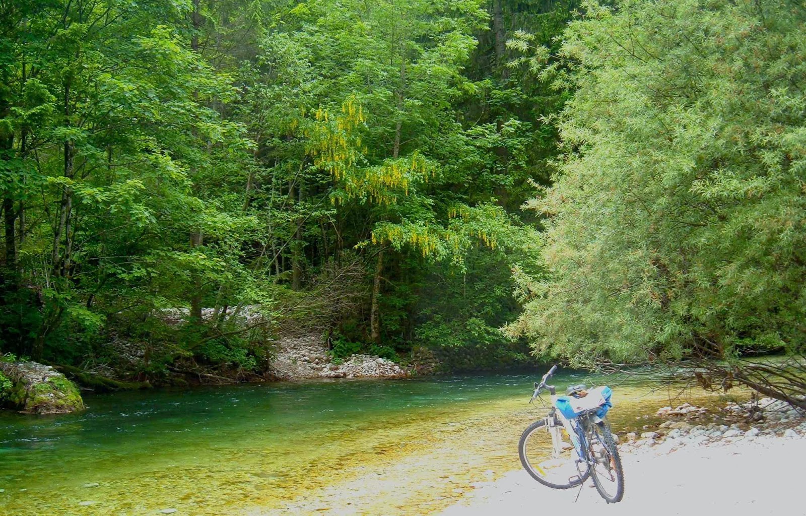
Radovna valley, where we both walked and cycled.


River tranquillity.
Bled was so magnificent, we hired bikes and explored more rivers and gorges and a different national park. We took an unconscionable number of photos, ate a fury, and did more walking and running and cycling. We thoroughly recommend the Via Alpina and its offshoots.