QLD 2014 Mission Beach
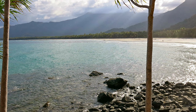
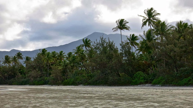
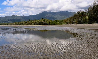
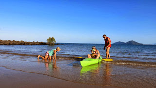
When we walked the Thorsborne Trail in 2007, my husband announced that he would never do that again: given his medical condition (Parkinson’s disease), the track had overtaxed his dwindling capabilities. In fact, he told me he’d never carry a rucksack again. I cried. I am pleased to announce what needs no announcing to those who read this blog or walk with us: he is still carrying a pack. That is primarily thanks to the fact that our daughter and I finally convinced him to see a specialist and upgrade his medication. We did the Thorsborne for the next four years in a row, only stopping the habit when (a) cyclone Yasi ruined the island – Hinchinbrook – temporarily and (b) our grandson arrived on the scene. Even we baulked at the Thorsborne trail with a baby only a couple of weeks old, so we settled for the Daintree that year, and have kept it lower key ever since, as befits infant needs. Mission Beach, south of Cairns, is a great place to take a toddler.
Gussy enjoys the pool with his mum (Kirsten).
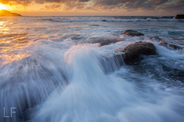
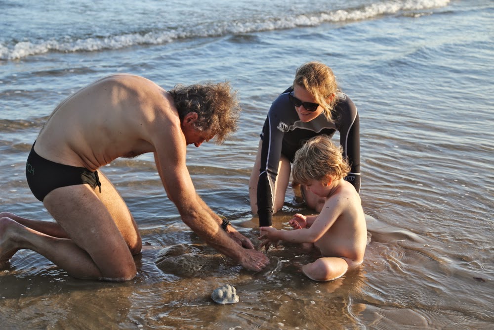
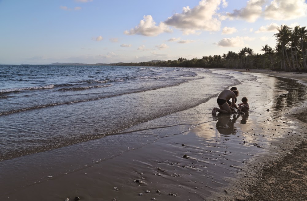
Waves flood yet another major engineering construction. Children seem to find endless delight in building and then destroying their creations. The adult form of this game is rather scary.
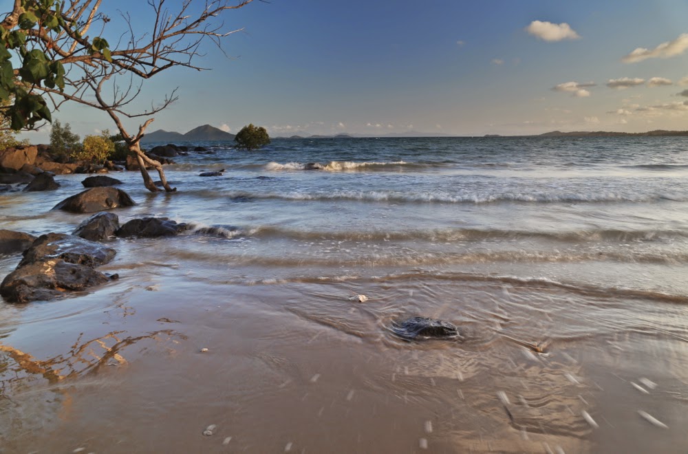
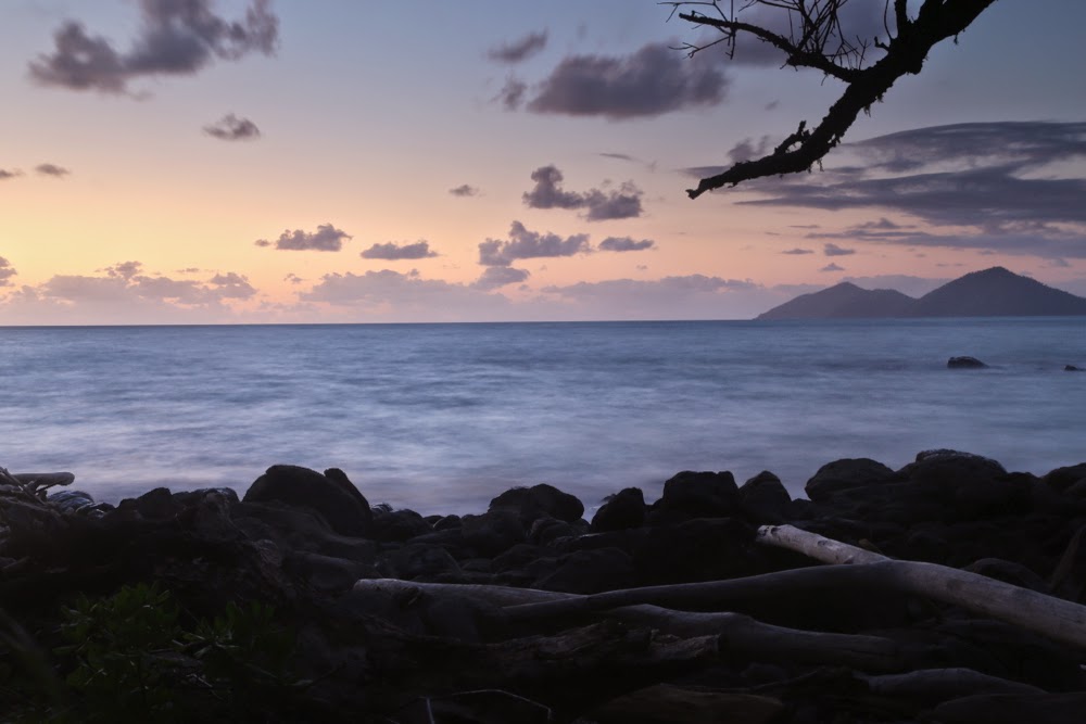
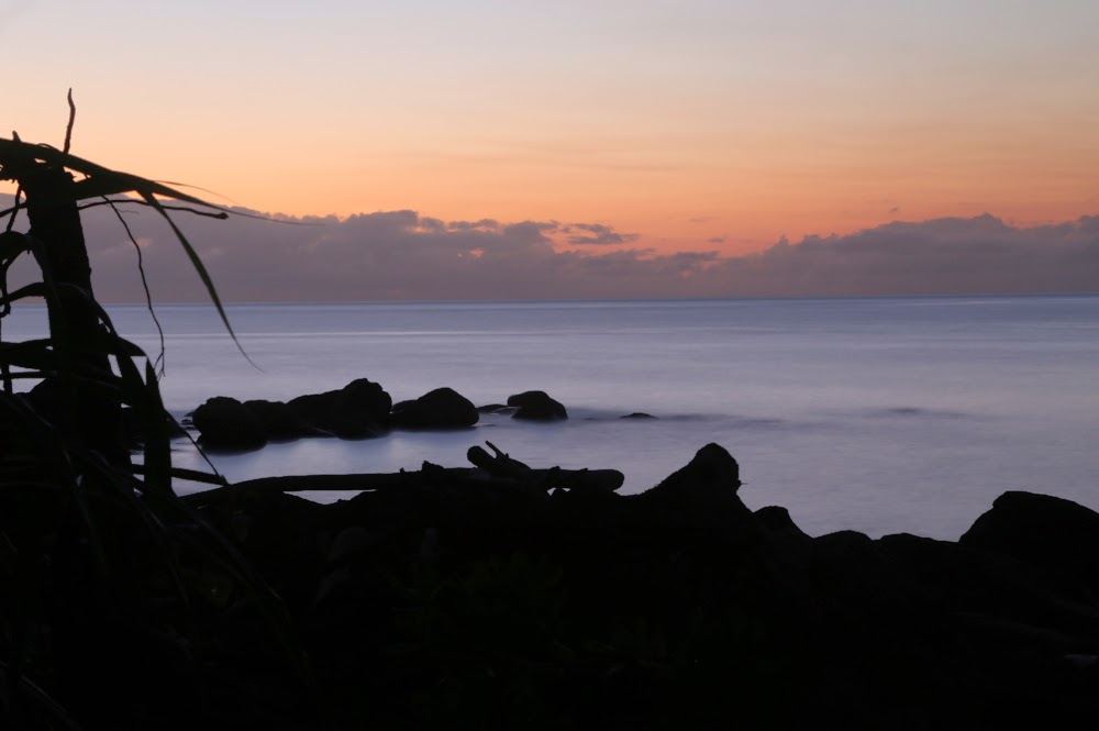
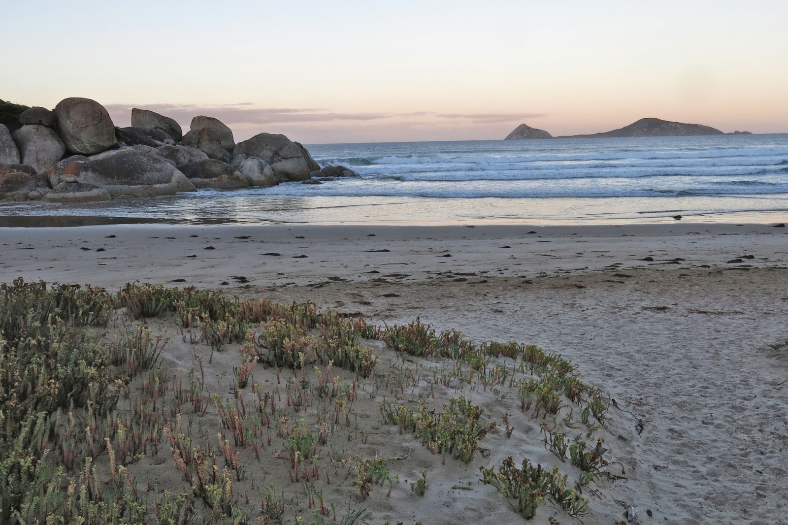
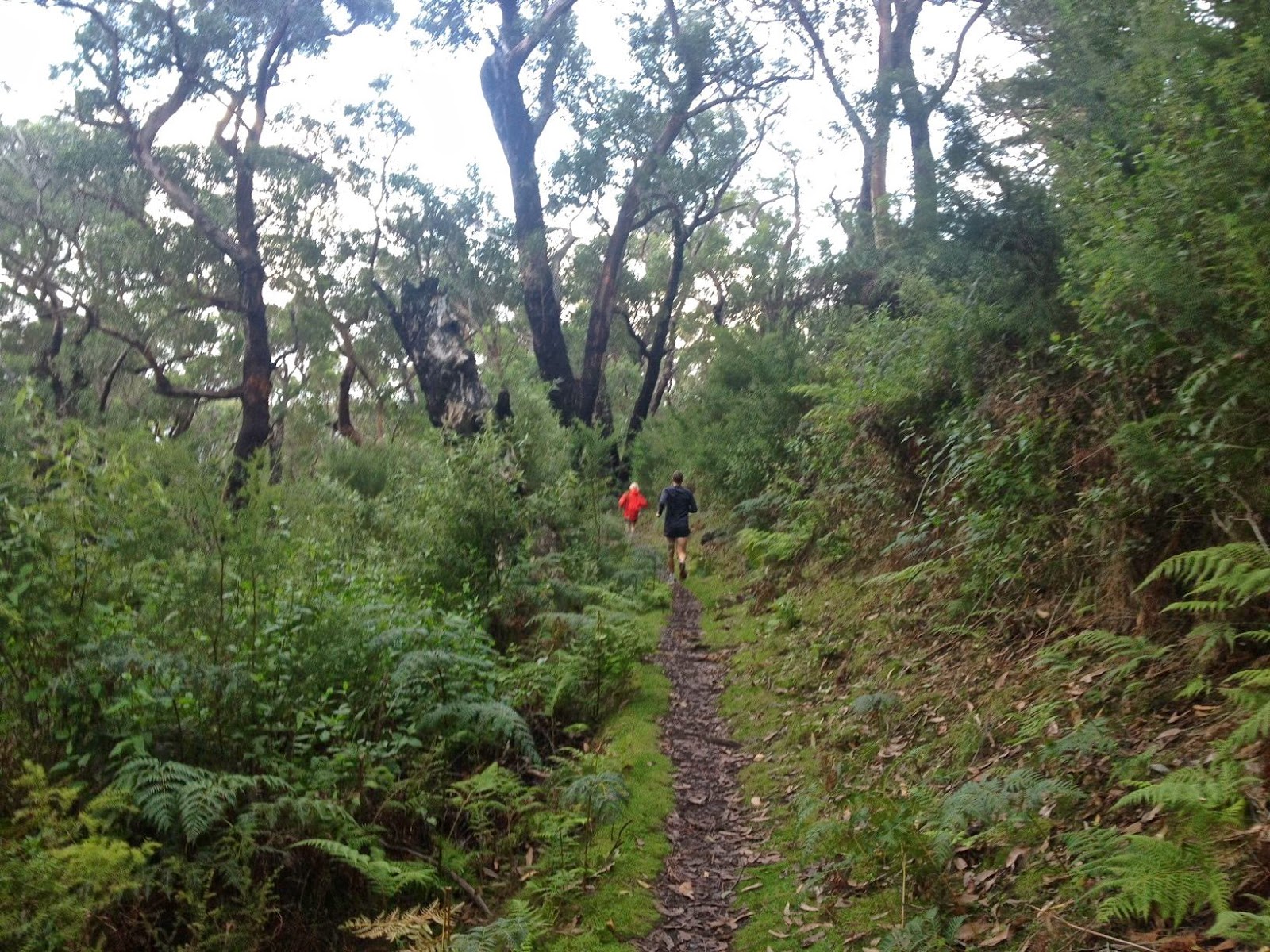
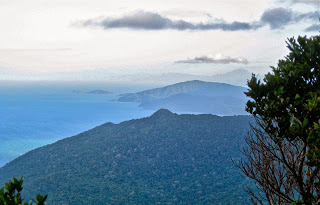
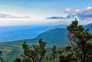
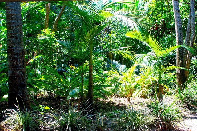
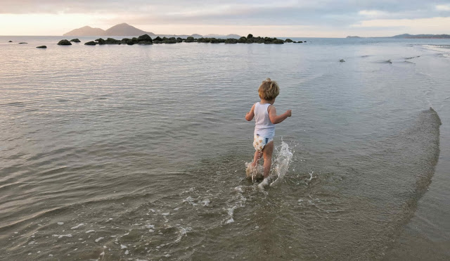
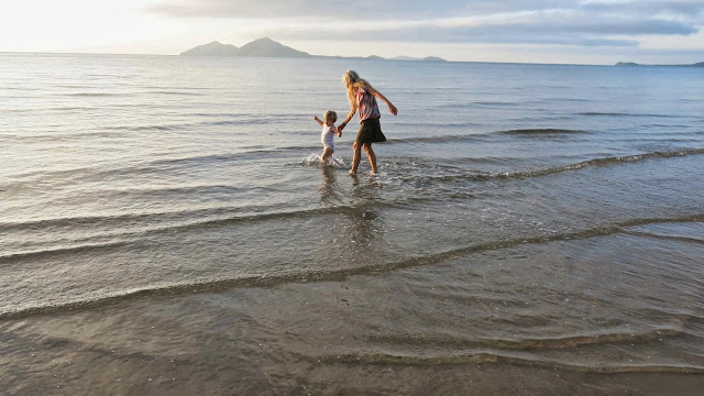
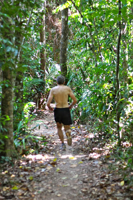
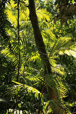
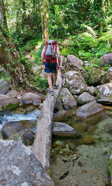
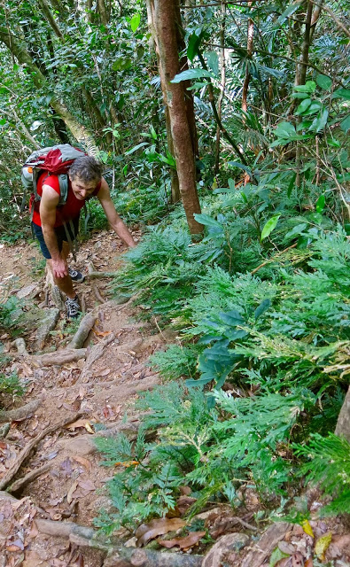
Our time at Mission is all about Gussy, and the days revolve around his wishes. Kirsten and I get up in the dark to go photographing while Yelena and Gus keep sleeping. (Bruce watches sunrise with us and then has a walk). After breakfast, both girls and I go running: two reps up Bicton Hill in Clump Mountain National Park, giving us a 370 ms altitude gain and a great workout to start the day. We did this on all four of our days there. This run is all along narrow trails through the lush rainforest with glimpses of the ocean every now and then, and a superb view from the summit. While we do that, my husband and Gussy eat and then head off to the pool at the back of our bungalow. We girls return and join the boys for a few hours of floating and playing in the water. My favourite games with him are “crocodiles” where I approach floating on my stomach snapping menacingly, to which he giggles and swims away, and “turtles” where I do breaststroke with him on my back. You can see we keep our games location appropriate.
At some point, he announces he wants to do puzzles or go to a cafe, and then we all get out (with me hoping it’s the latter request). The ecolodge has a great fund of jigsaw puzzles which Gus is able to change every day in a great hand-over ceremony after breakfast. Sometimes the boxes are as big as he is, so it takes a while to effect the deal. He also came equipped with his own library, so reading books is high on the list of preferred activities when he’s managed to get cold.
I also love to watch as his capacities grow. This trip he laughed at Rabbit thinking he could fool Pooh that his house was empty by yelling out: “Nobody’s here”. His eyes shared with me complicit glee at Rabbit’s exposed stupidity. He was holding a biscuit and told his mum he needed two more to make the three he’d asked for. She excitedly phoned her husband to tell him Gus had done his first maths. This was far more exciting than the first step or tooth, and it is a privilege to be there when such significant moments take place.
VIC Wilsons Promontory 2014 Granite gorging.
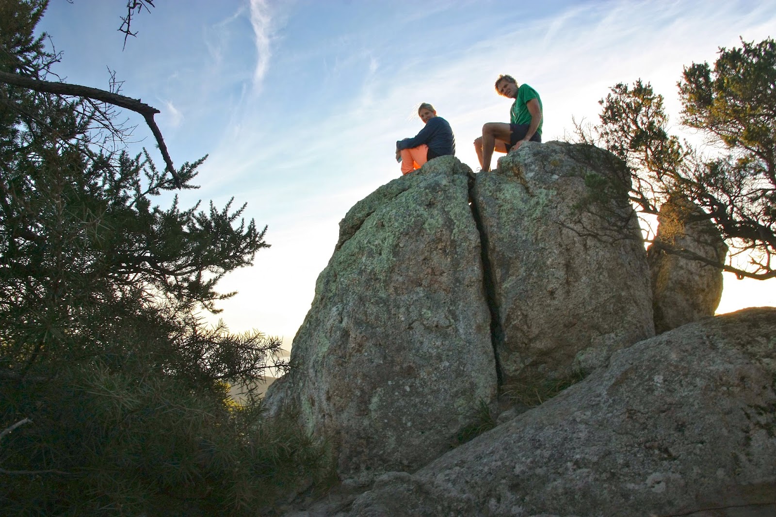
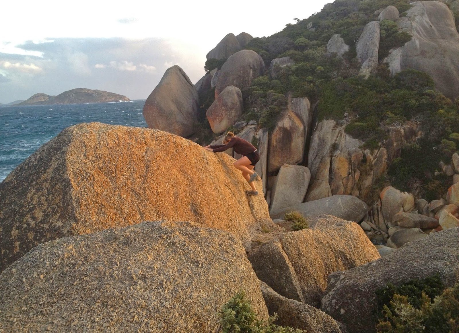
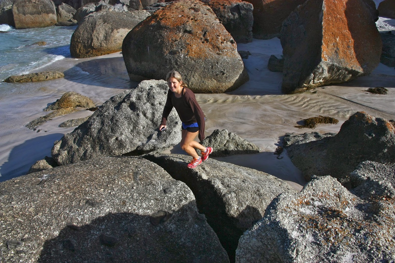
I have a love affair with granite. When my girls were babies, we frequently did daywalks in Cathedral Rocks National Park (NSW) with its granite tors the size of large buildings. As youngsters, they cut their orienteering teeth on the granite country surrounding Stanthorpe (QLD), Namadgi National Park (ACT) and Kooyoora State Park (VIC) … and then we moved to Tasmania, where the orienteering north of St Helens is characterised by more wonderful granite. We all dearly love this rock, primarily because of the shapely tors that greet you as you move through the forest – round bulges, sentinels of the bushland. They’re also fun to navigate around, or to climb up and over, or to jump from one to another.
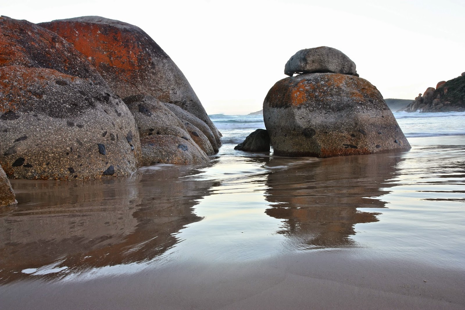
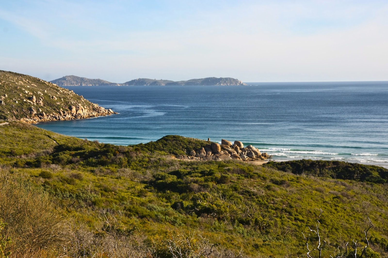
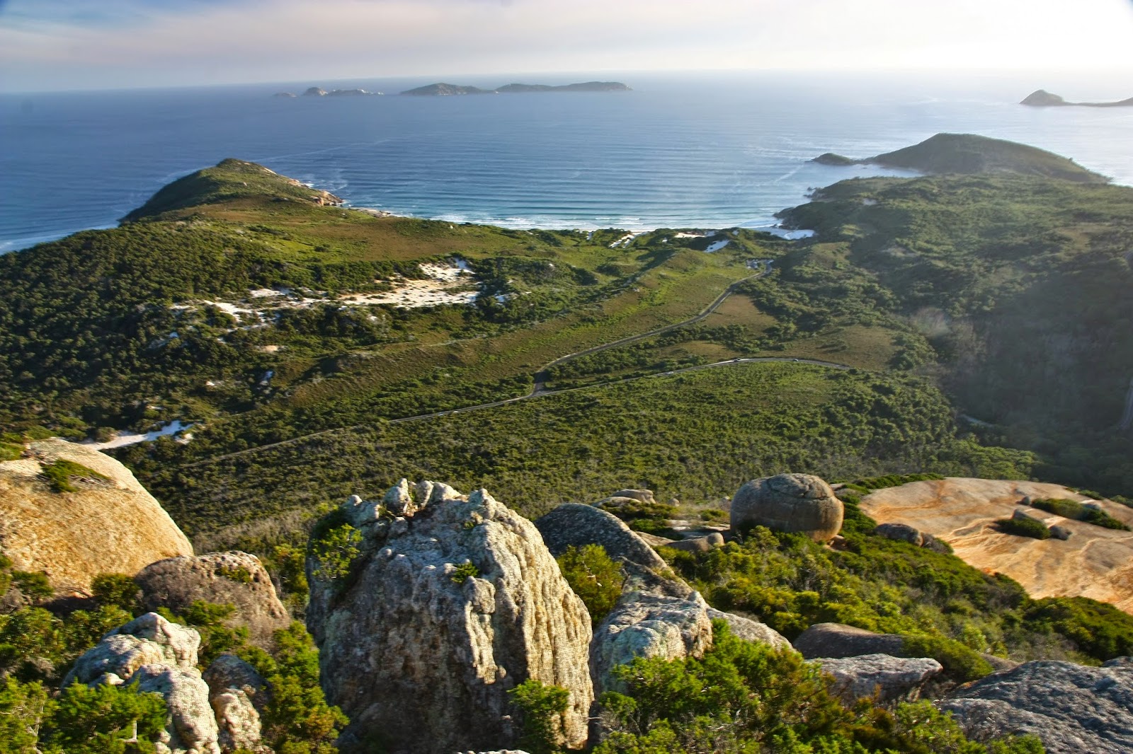
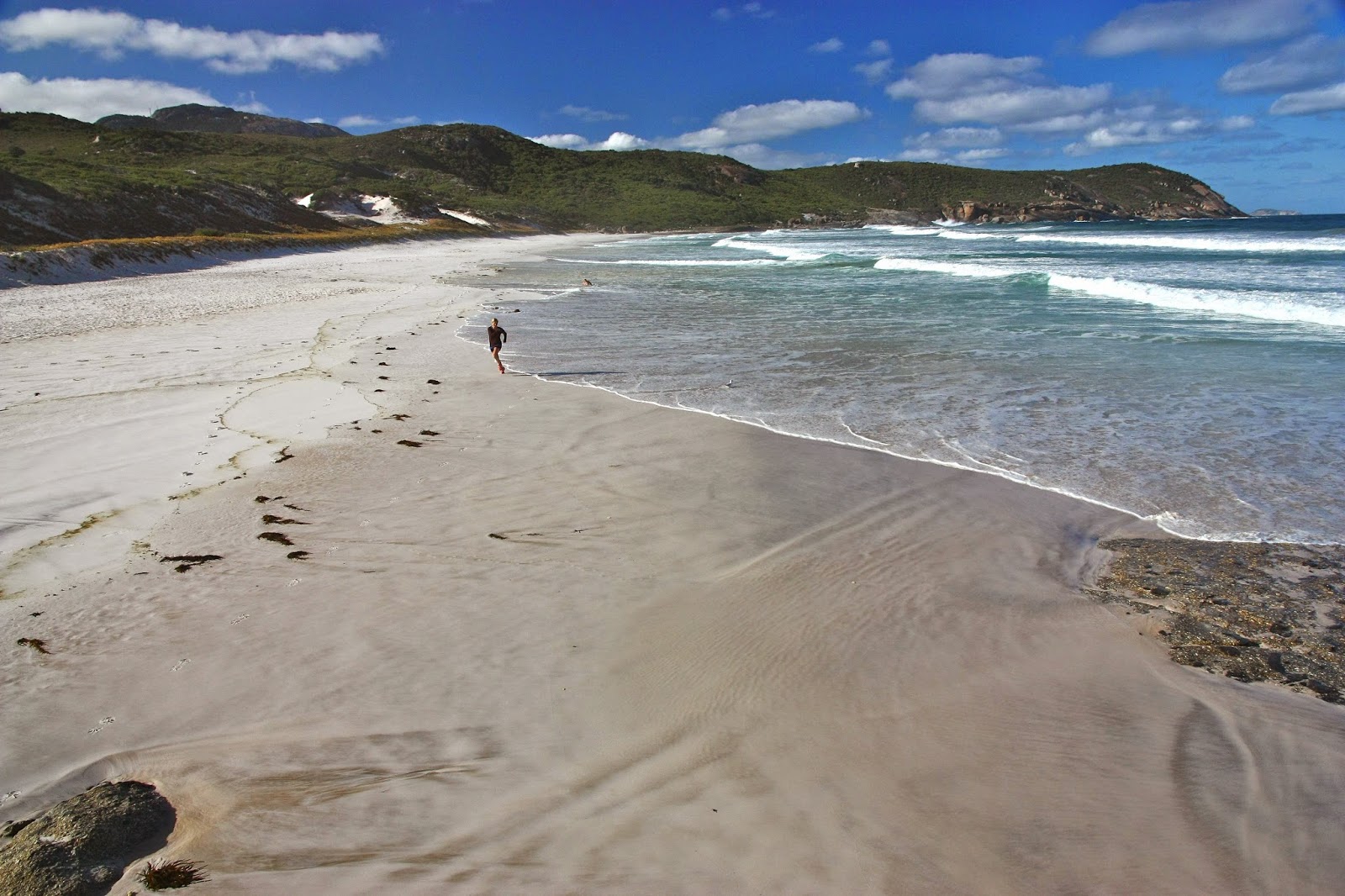
Coastal granite is particularly marvellous, as the white sand it generates produces beaches of a magic colour, whether one is thinking of the sand itself, or of the special blue of the translucent water that accompanies it. We adore Magnetic Island, Wilsons Promontory and, closer to home, the Bay of Fires and Freycinet Peninsula – all for the same reason.
My daughters seem to share my passion, so we were all very happy when my first born asked if we could spend our family Easter at Wilsons Promontory this year. We’d stay at a nearby beach, and walk and swim during the day. Who says “No” to such a request? Not us. Toddler Gussy could play on the beach while the adults in relay combinations could run up mountains and along the tracks of the Prom.
The next day the weather had turned, so my second daughter and I just did a flat run parrallel to the beach: 40 mins in howling gale-force winds and rain. In the afternoon, I persuaded the other adults to run along a track on the coast in the Prom while Yelena minded a sleeping Gus (who, of course, woke up to find us gone yet again). This was a ‘rest day’ as we were to run up another mountain on the morrow. Out we set into the punishing winds on the 12 km coastal track. It was exhilarating.
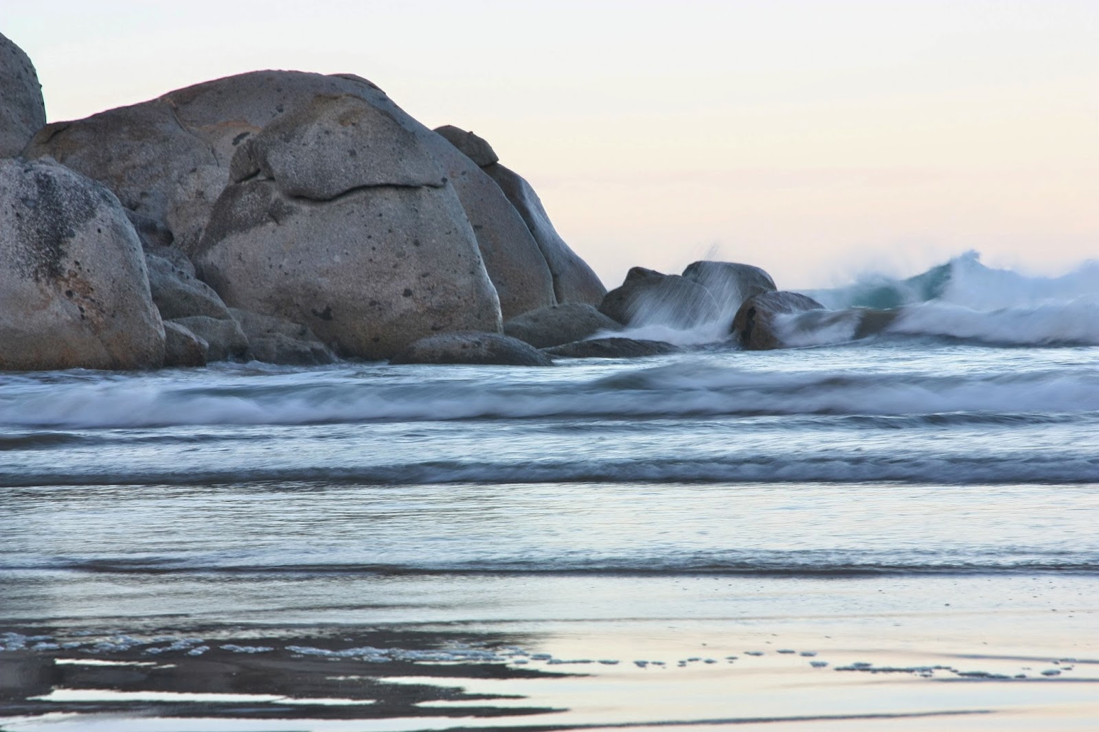
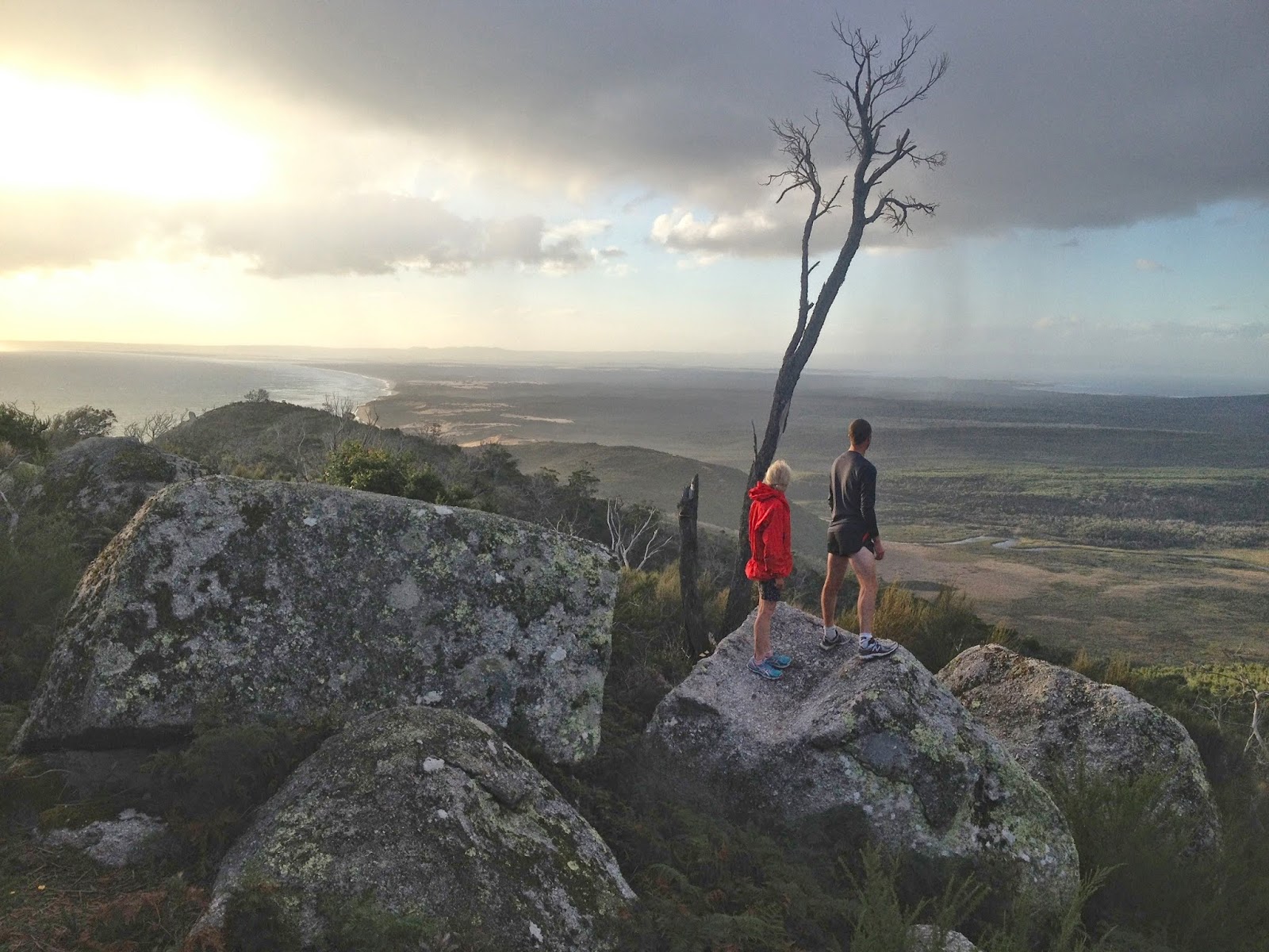
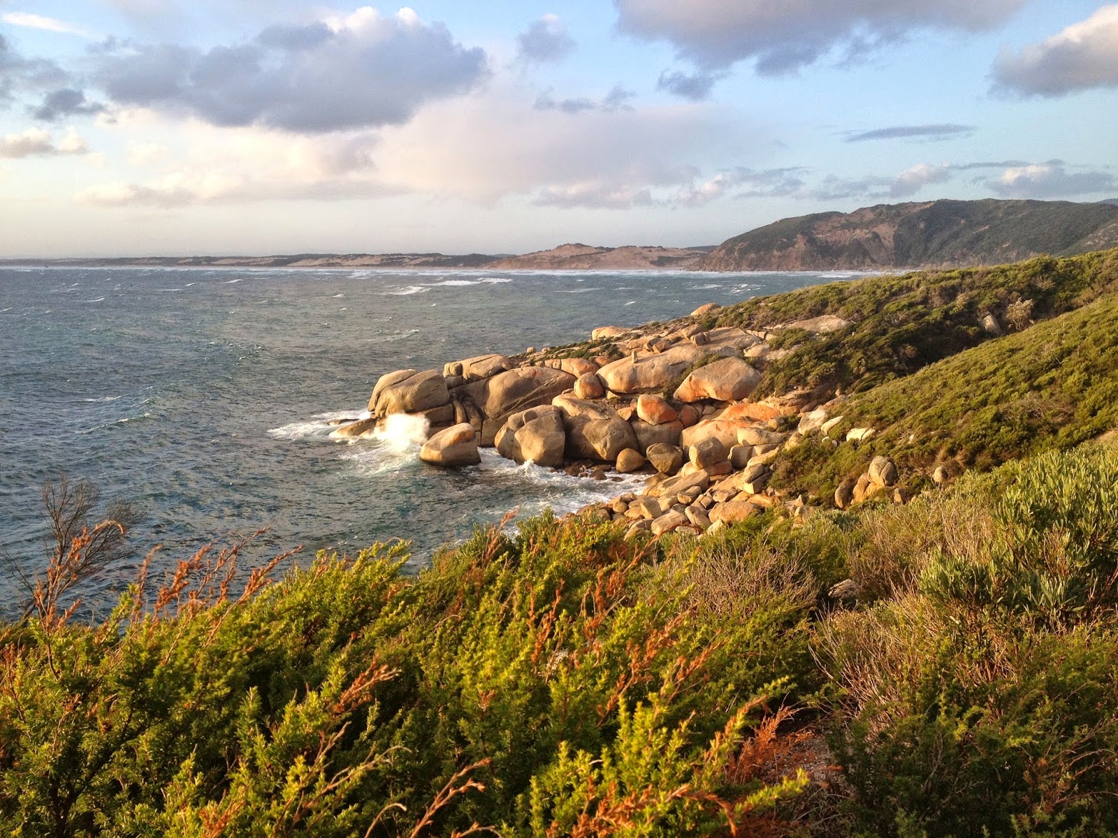
The track was pretty protected up until a high point called Lookout Rocks, from where we could gaze out at an expansive purview. I didn’t like what I saw of the continuation of our route: a nose dive down to sea level and along to the point … which meant we’d need to run back up the slippery dip on the return journey. I feared it was too steep to run, given the amount I’d already done in the last couple of days. On we went in the magnificently moody weather. It reminded me of running on the headlands of Emerald Beach in the cyclone last year. The sea below was surging in giant hillocks of water, all churned white from the wind. The lighting was a yellowy-grey. Surprisingly, I did manage to run the return journey, as did my daughter and her husband, so we were all happy.
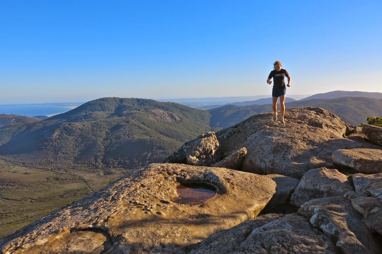
On this day, it was my second daughter who was going to run skywards with me, and we’d chosen Mt Bishop to be our mountain, as we’d only walked up it so far. The weather was murky, and we already had photos from the top, so for the first time we ran without the burden of cameras. Nice!
QLD 2013 Mt Sorrow, Walshs Pyramid Mission Beach
Queensland – Mt Sorrow, Walshs Pyramid and Clump Mt NP.
This time I knew the ropes, so knew it wasn’t a mega-undertaking, but rather a normal morning’s exercise. I was at the top in 1 hr 4 mins, and this time got a tiny view. Unlike last time, I could see the rainforest this edition, and really enjoyed the whole route. It’s nice not to be racing the impending dark, and to just look around and enjoy what’s there. And what’s NOT there is the mass of smoking, yelling tourists. Hoorah.
They seem to have infested all the lower areas. Every swimming hole we went to, we drove straight away from, due to noise and smoke pollution. But up here on the mountain it was green and the air smelled wonderful, and the only sounds were those of the birds. I also had a glorious sense of freedom, as I did this one alone, so didn’t have to modify my pace to appease anyone else. I delighted in the liberty of it all: wild and free on the mountain, just how I like to be. I swung like an orangutang from tree to tree as I dodged roots on the way back down. I was very satisfied as I reunited with my husband who’d had a lovely time swimming in my absence.
The next day it was Walshs Pyramid’s turn. This one is 922 ms high, and the start seems from the map to be about 50 ms asl. When we first saw this many years ago driving from the south, we marvelled at its perfect pyramidal shape. It was no surprise to see that its official name gave testimony to that form. Unlike the other two mountains of this trip, this one is in very dry bush. It also has no water. Because of the general heat, I opted for a late summitting experience, …. but was further delayed, so needed to head up pretty quickly, in a not too unusual race with time. Even setting out way too late as I did, it was quite hot for the first half hour. I also took a wrong turn, and followed it for too long, annoyed that the map at the bottom was not reflected in what this track was doing, and that what it was doing was counter intuitive (it was contouring, not climbing). I eventually decided to go back to the last seen marker and examine things more carefully. This happened again later, but not for so long. There are many false trails up there, and it doesn’t pay to be in the kind of hurry that I was in. With darkness closing in, I was delighted to meet three very nice, NON-smoking Germans who said I was about 20 mins from the top. I was delighted on this occasion not to be the only one on the mountain. I dashed on, enjoyed the view – definitely the best of all the views, especially on this occasion with the sun setting and the whole sky red, the mountains all around marvellous silhouettes in the roseate gloom. The Germans had 40 mins on me when I departed the summit. I descended far too quickly for safety, but wanted to get down before total dark – or at least reach the others and descend with them. I arrived back two minutes after they did, once more very, very satisfied with a wonderful mountain. I was very sad not to have taken my camera on this one, but speed had been very important on this occasion, and the weight of my camera is not insignificant.
We picked up the rest of the family at the airport and moved to Mission Beach.
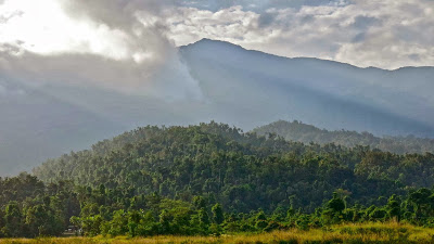
There at Mission, my daily drag was to run in Clump Mountain National Park, up a nice rising with an excellent view from the top over the ocean studded with islands, the beautiful coastal beaches and the hinterland. The bumph says this takes one and a half hours. I take fourteen and a half minutes to run to the top, less to descend. The run is so short I have to do it twice in a session to get enough exercise. The usual dangers and warnings attend – the possibilities of being attacked by cassowaries, stinging trees, dehydration and more. The Swedish girl with me was quite frightened, and I had to do a great deal of reassuring before she nervously set out with me. They are very, very scared of being sued in Queensland, to an extent that cripples activity
.
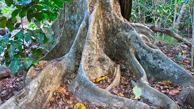
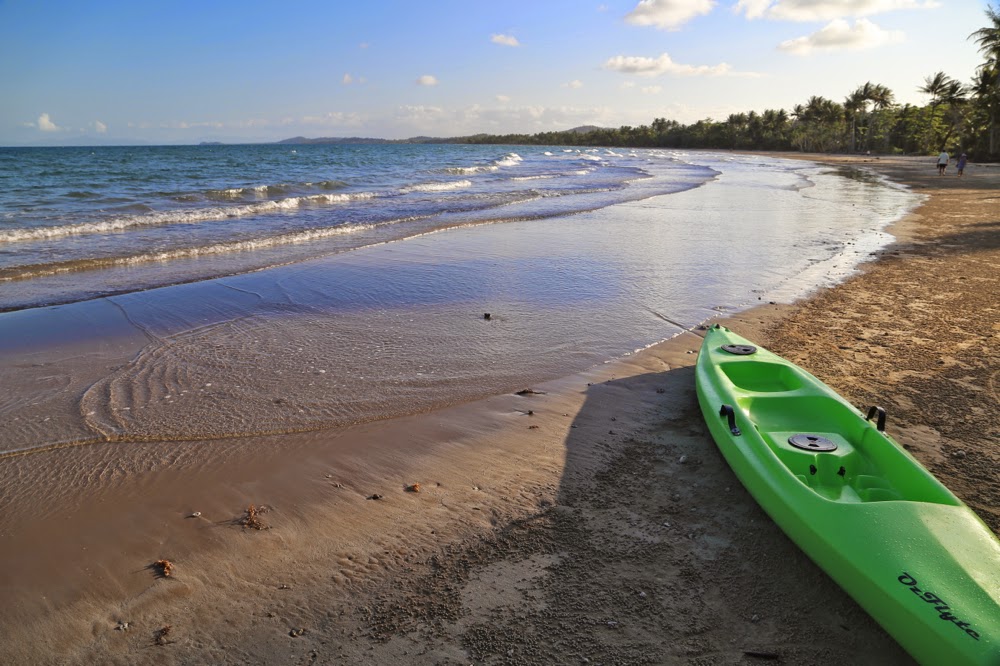
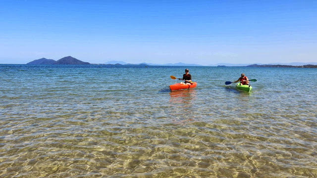
Unfortunately I was racing down the hill quickly on my final descent on the last day, and not paying attention to the ground at all, and I rolled my ankle on a pebble (an activity for which I have a profound talent, thanks to my former orienteering days that have weakened all my ligaments in that area). Luckily that was the last run on the schedule anyway. Luckily for the Queensland park I was in, I consider that to be my stupidity, not theirs, so did not think about suing. I was reduced to crawling or hobbling using a broom handle as an improvised crutch, but that didn’t interfere with kayaking, so all was well. I crawled down the beach, climbed into the kayak and set out for the distant reef across the cerulean waters.
Having not wanted this holiday as I was about to land, I now didn’t want to end it. I had accustomed myself beautifully to rainforest running, warm days with balmy evenings and a life of mountains and swimming. Pity there aren’t more trails up those plentiful mountains. I tried pushing through the rainforest for an ascent of Cape Tribulation (just a bump) but was driven back by the tangled mass of undergrowth and the possibility of unwittingly grabbing a python as I pulled myself up by tree trunks. Besides, I love going quickly, and for that one needs at least a vague pad. I went over the saddle on Cape Tribulation many times, staring mournfully at the forest that had defeated me, but also knowing that there was quite possibly no view from the top anyway. Rainforest trees are tall, and I am very small – a bad combination for viewing.
QLD 2013 Mt Bartle Frere
Mt Bartle Frere, Queensland’s highest mountain.
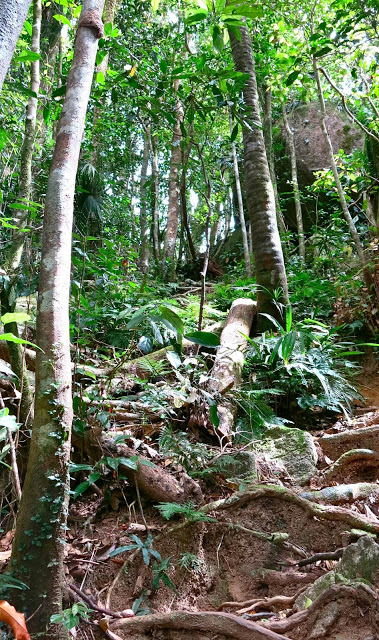
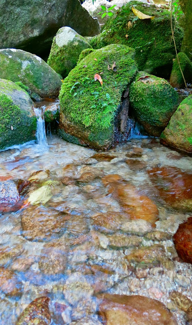
The first surprise was the availability of water. We crossed four or more flowing streams before we crossed a creek that needed a bridge. At the 3 km mark, there was another creek. We only had 4.5 more kms to go, which is not so very much if there is no more water – and there was no more water after that. Of course, it could be drier than this – but this is the dry season, and we did rather think they doth protest too much.
It was steep, yes, very, very steep, but it’s a mountain, so steepness rather goes with the definition. I even worked up a sweat, which I never do at home, and thought of some of my club members rejoicing that at last this was happening.
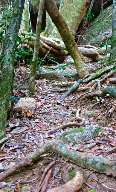
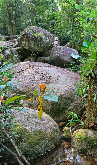
Once past the helipad (7 kms), there are more signs warning you of the dangers of traversing the boulders. I was fearful, and glad I’d left my husband behind after travelling at his speed for 6 kms. He’d no doubt rest at the helipad and wait for me to come back down. I was at the summit after 3 hours 15 mins climbing, and I hadn’t been pushing the pace at all, partly because of keeping with my husband, and partly saving energy for all these unknown, unspecified but alluded to terrors that lay lurking behind every vine.
On my descent, I nearly died of shock to find Bruce at the end of the boulders. “I just thought I’d have a look and go as far as I could go,” he said. This man has Parkinson’s disease, but had successfully negotiated boulders that had monstrous drops between them. If one slipped or misjudged, it would be very hard to be extracted. I was proud of him.
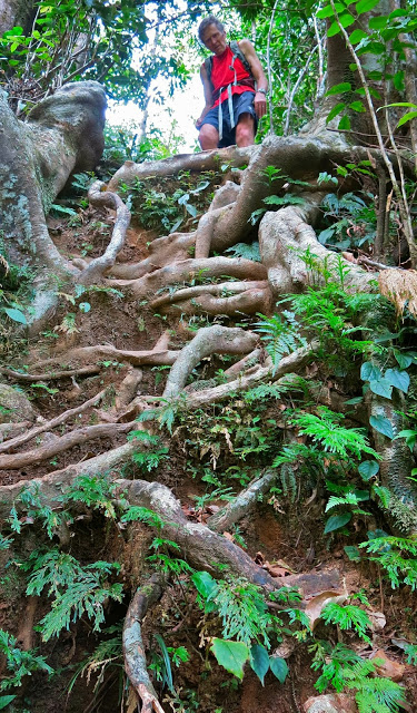
Descent
The track was beautiful, with rainforest nearly the whole way, and had a wonderful, tropical feel to it. The views across the boulders were excellent, although somewhat hazy as we were kind of in the clouds. There was no view from the top – just a sign telling you you’d reached it in case you hadn’t noticed. Had I not read the sign, I would have gone on, looking for the top. It’s not exactly obvious.
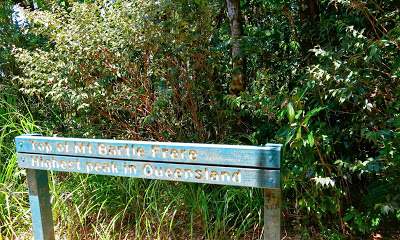
Summit sign
We had lunch at the “3km creek”, a swim at the Josephine Falls (more loud, rubbish throwing, smoking gangs of tourists) and were back in Cairns hours before dinner.

