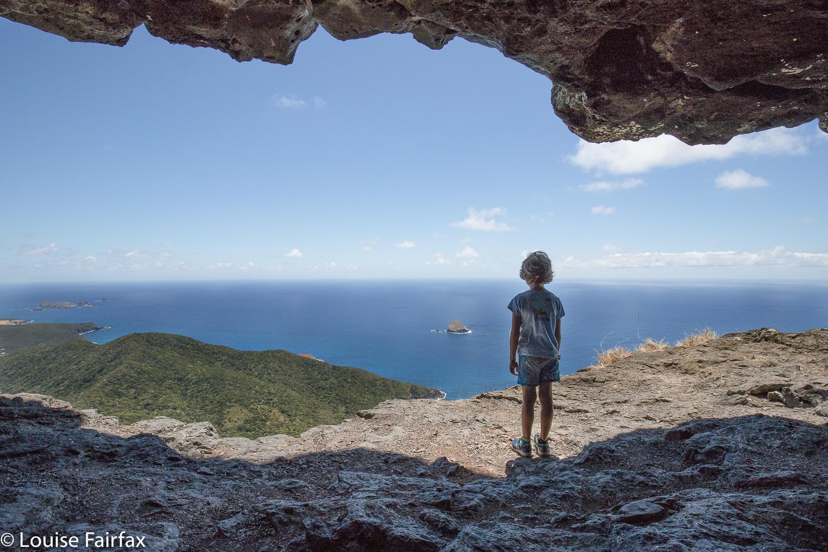
NSW Lord Howe Island 2019 overview
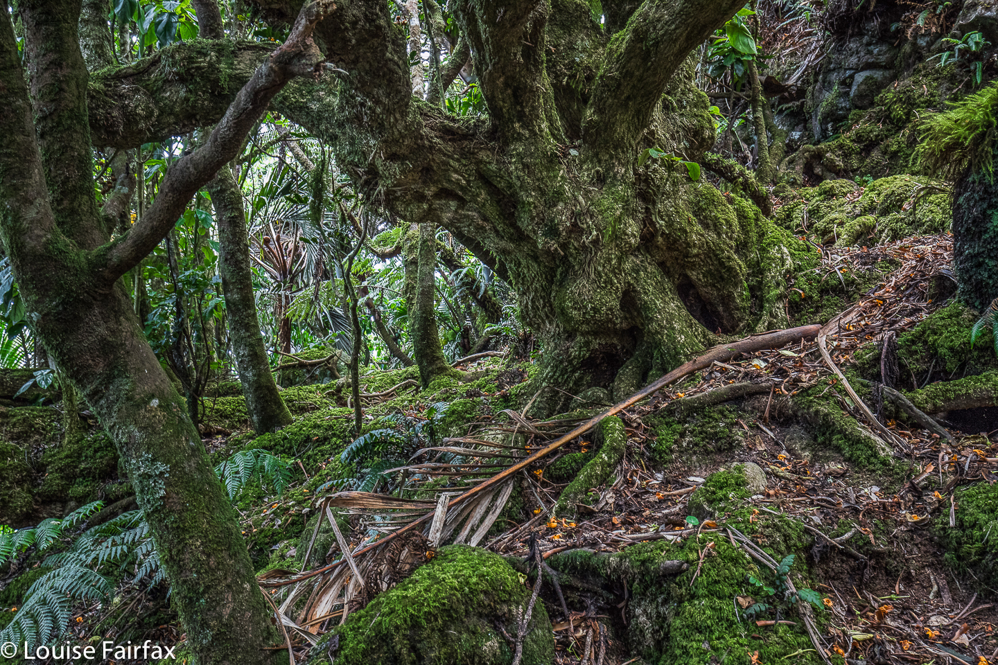
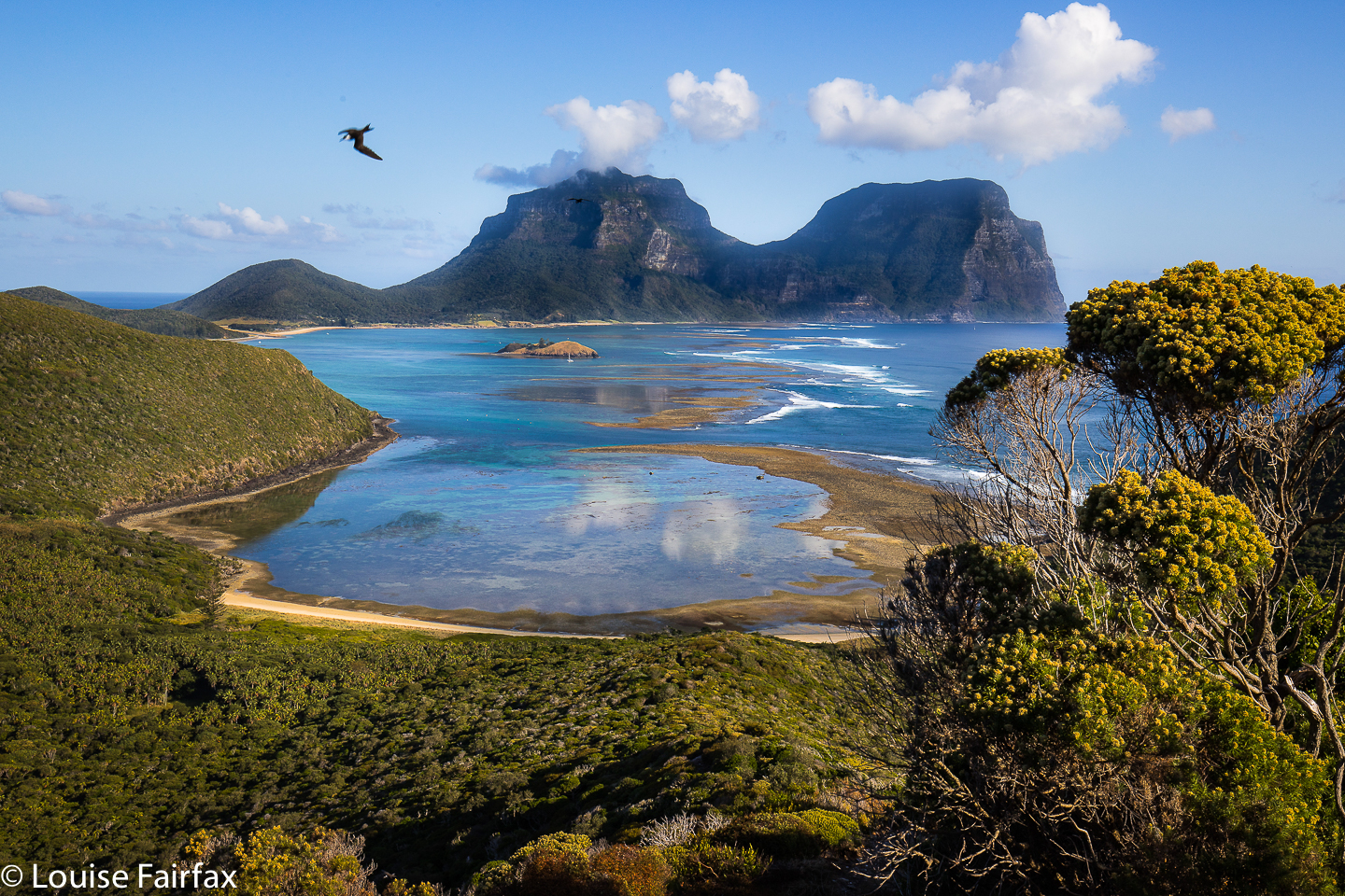
 Dropping my snorkel back on the pile, I farewelled the colourful fish I’d spent the last hour with, mounted my bike and sadly turned my back on Ned’s Beach, entering the open – yet shady – forest of palms, ferns and enormous banyan trees. These latter spread their lengthy limbs over vast distances to produce shady columns and arches that always gave the eye something to entertain as one cycled by. On past my accommodation I glided, and further, to the lagoon on the other side of the island, about five minutes’ cycle away.
 Heading towards me on their bikes were three ladies engrossed in conversation, trailed by a car in no hurry to pass them. They moved over a bit to allow me through; the car just bided its time. We all greeted each other, of course. Next came a man shadowing his four-year-old granddaughter as she wobbled hesitantly down the road. (We saw a lot of littlies learning to cycle here, and several couples who looked as if they hadn’t been on a bike for about fifty years. This was the perfect place to give it a go, either for the first time, or the first time in a long time.)
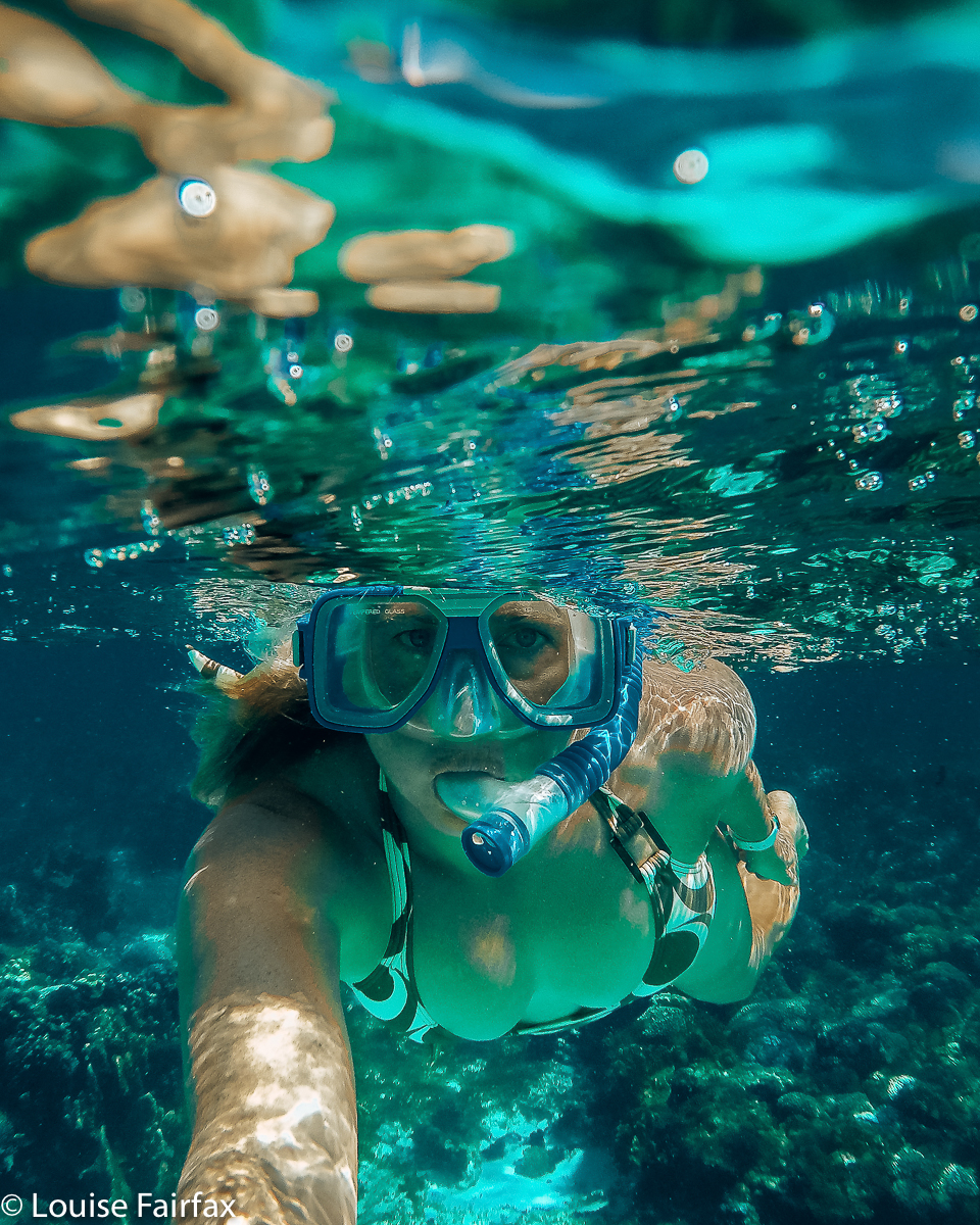
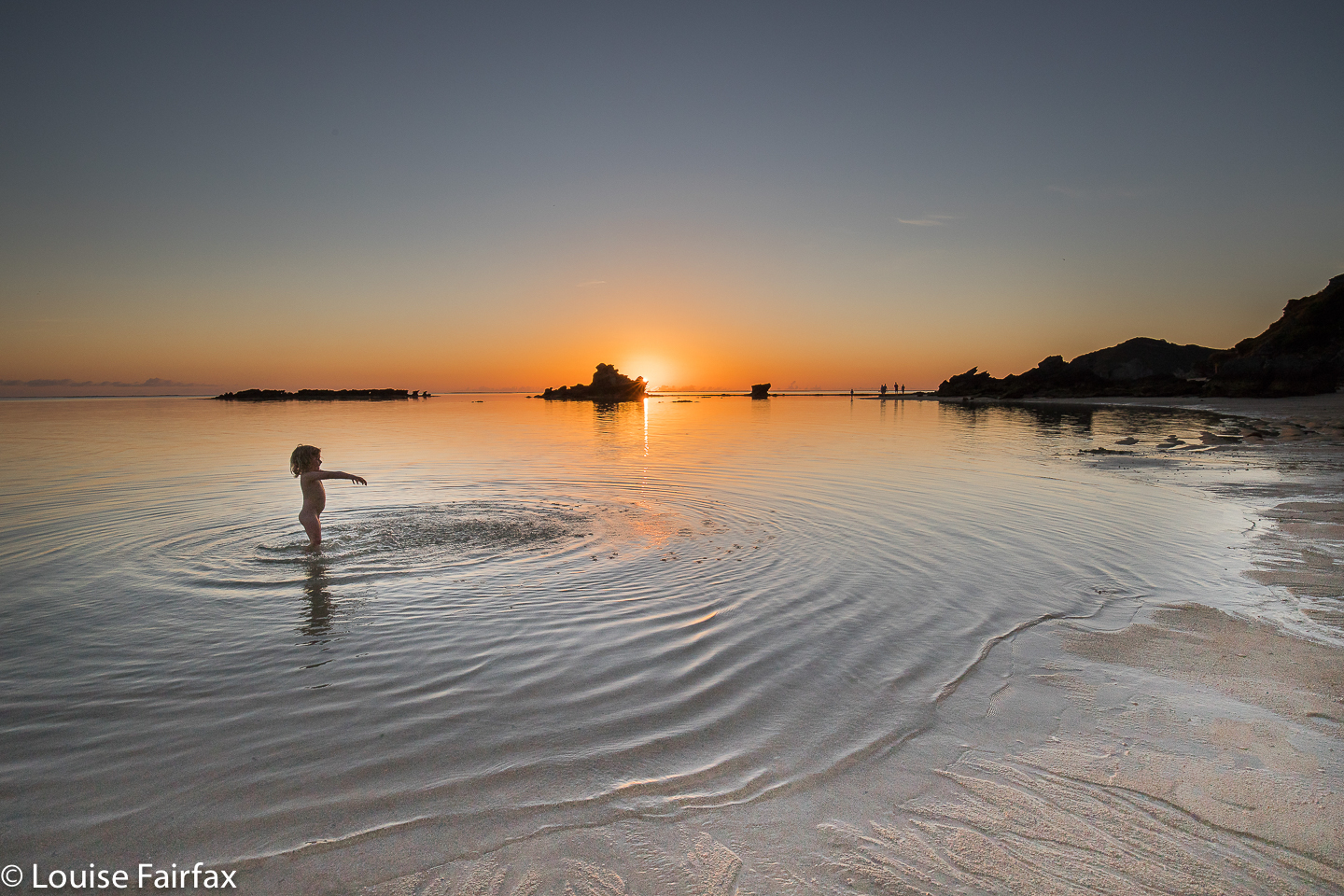
Before the dreadful deed of returning my bike eventuated, I did one last lap of the foreshore, scene of snorkelling, swimming, photoshoots and evening BBQs, and reluctantly swung a left into the drive. I’d arrive at the airport in wet swimmers, but who cares?
 My enjoyment of the island is a little ironic, as long, long ago, when Bruce and I were choosing a honeymoon destination, we wanted a location that had both mountains and coastline, and chose Norfolk Island. We did not research Lord Howe – or maybe Bruce did, but decided on budget alone to go to Norfolk, it costing about half the price to get there. Accommodation was also no doubt cheaper, and we were still uni students at the time. (We even took our briefcases!! ha ha).
 Norfolk Island was fine enough, although there was not enough walking for my taste, and getting around the island was difficult if you didn’t want motorised transport … and the beaches were not to die for. We mostly spent our days exploring the base of cliffs, managing to nearly kill ourselves several times by not paying attention to incoming tides which meant we had to climb said cliffs to save our lives. (It’s amazing we lived long enough to have children.) We climbed the biggest bump on the island, and had to give in and hire a Moke to add to our exploration possibilities. The island is too big (34.6 square kms as opposed to LHI’s for more manageable 4.55) and too hilly to get around just by muscles. It has, after all, 121 kms of roads as compared to LHI’s approximately 7. Everywhere we went on LHI, we used our own power to get there, and we love it that way.
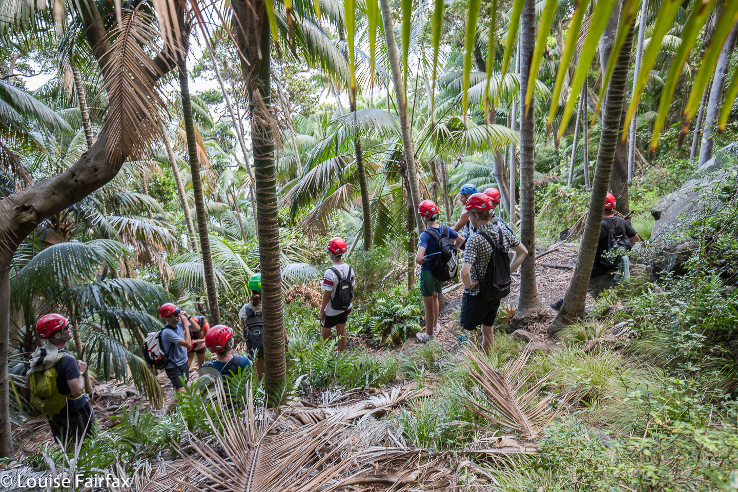
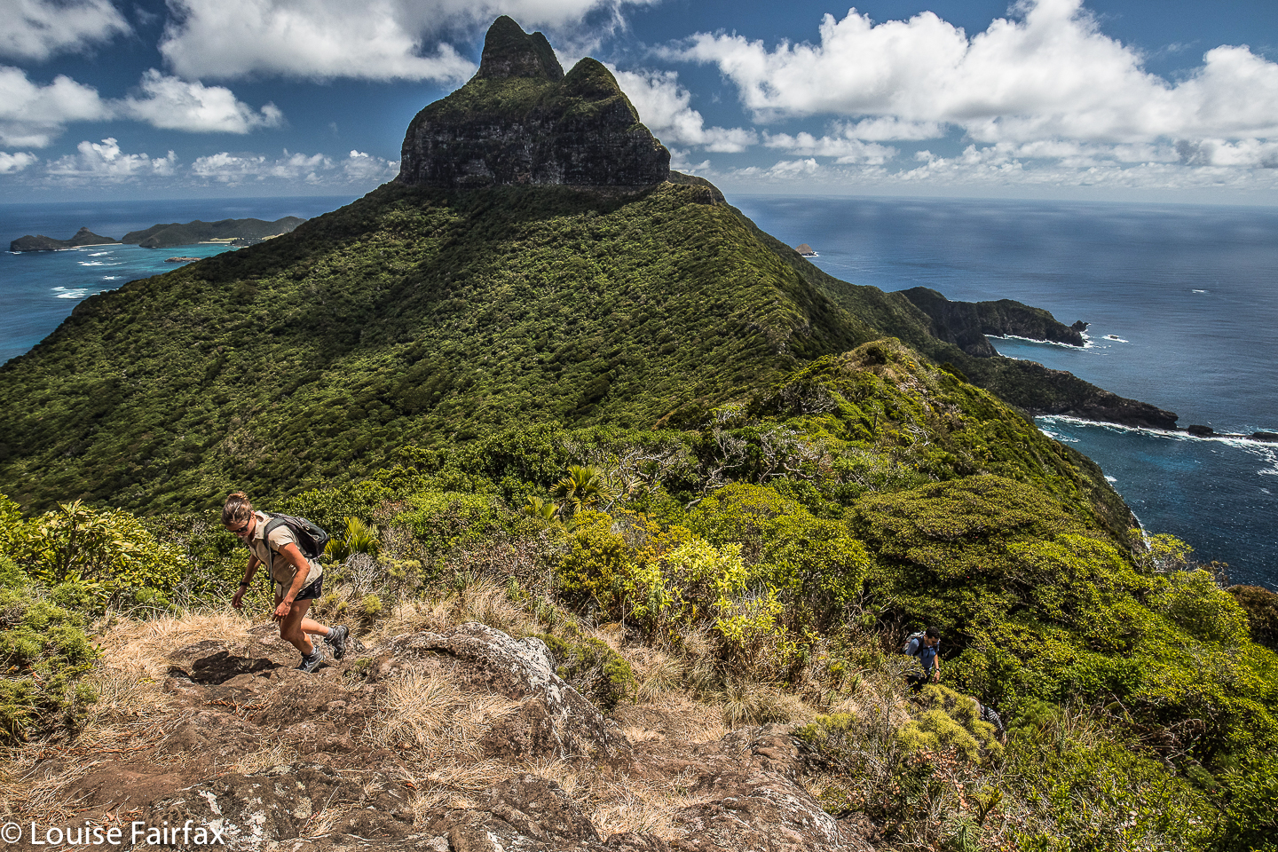
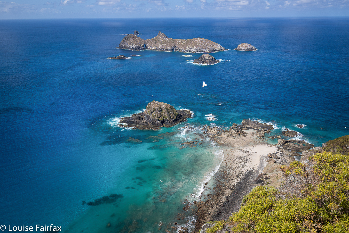
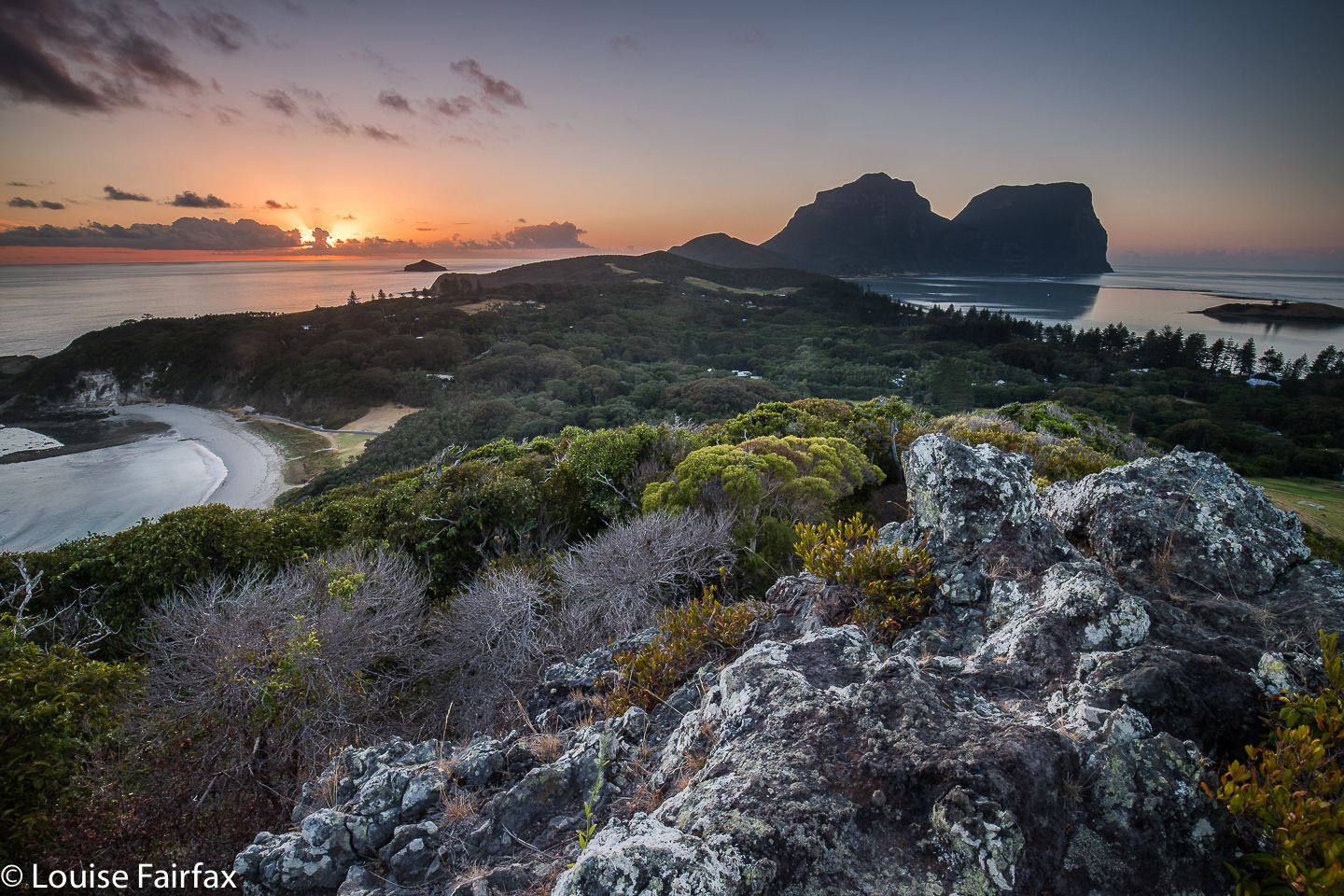
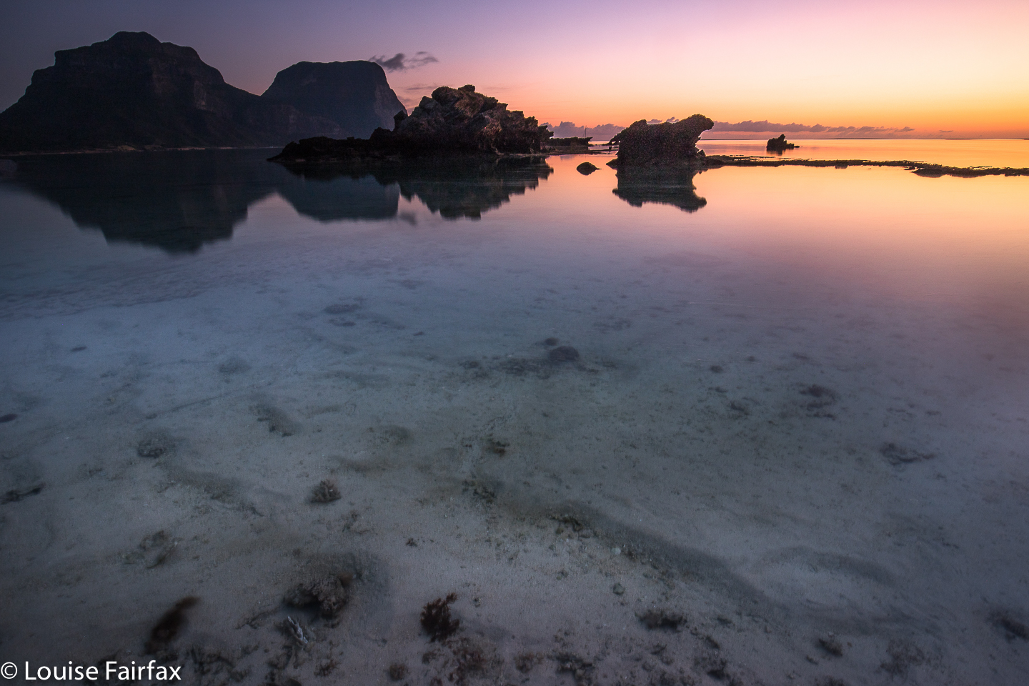
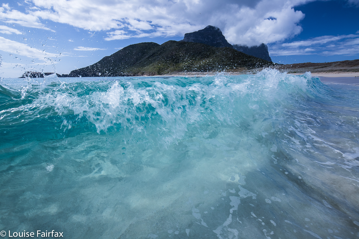
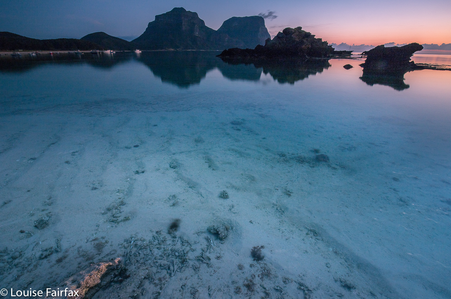
 Whereas Lord Howe impresses with its huge percentage of delightful tropical forest (75% is forested National Park, and the whole island is World Heritage listed), only 15% of Norfolk Island is National Park. Norfolk calls its highest point a mountain, Mt Bates, but this putative giant is only 319 ms high. In contrast to this, Mt Gower at 875 ms asl, Mt Lidgbird at 777ms and Ball’s Pyramid, 561 ms – not that you can climb that rock needle, but it sure is impressive to look at – all offer serious relief to the skyline. Malabar Hill, Kim’s Lookout and Mt Eliza (not in nesting season) are very satisfying climbs, whilst Transit Hill, Intermediate Hill and other ridges will test people’s fitness for sure.
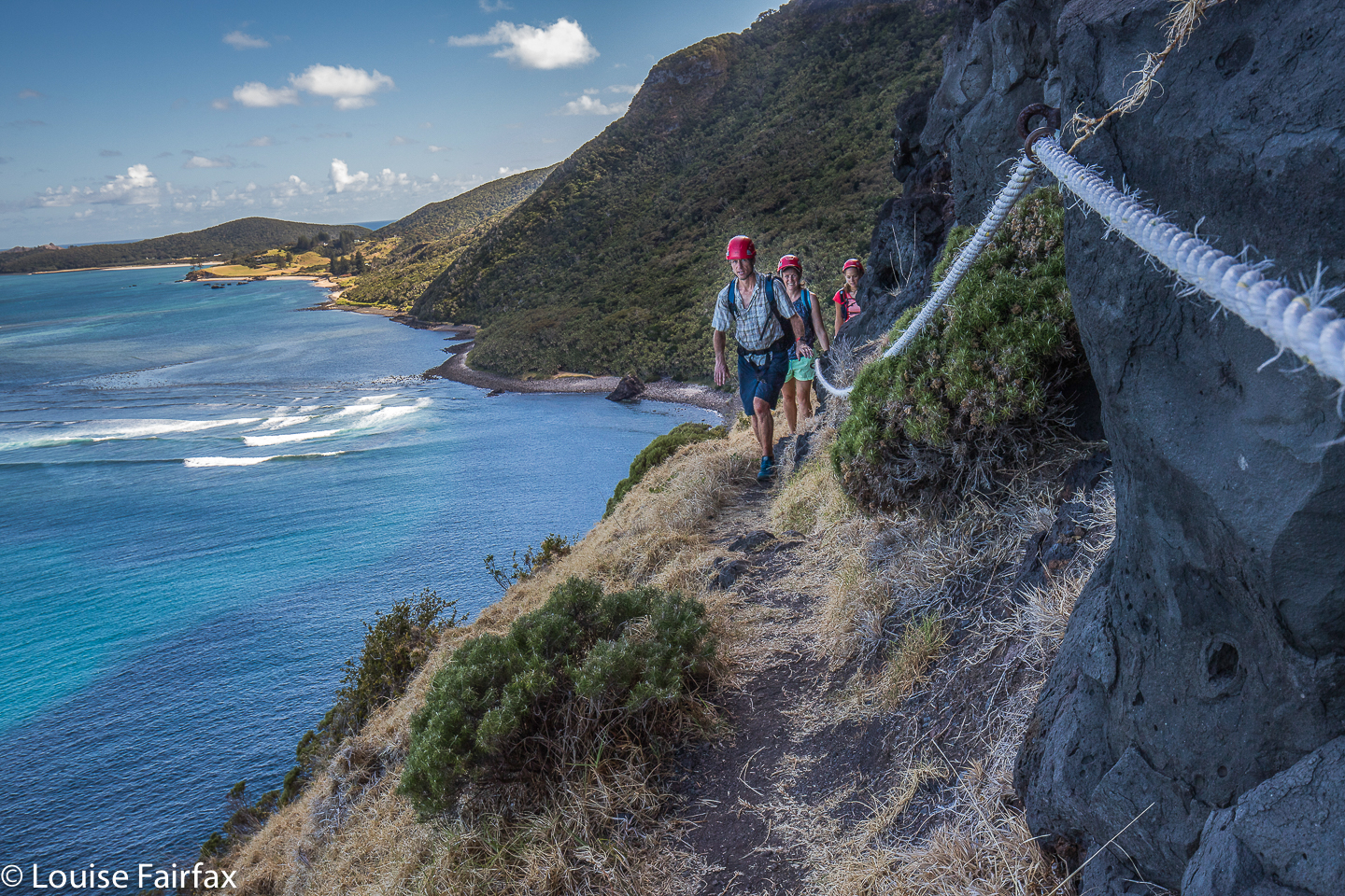
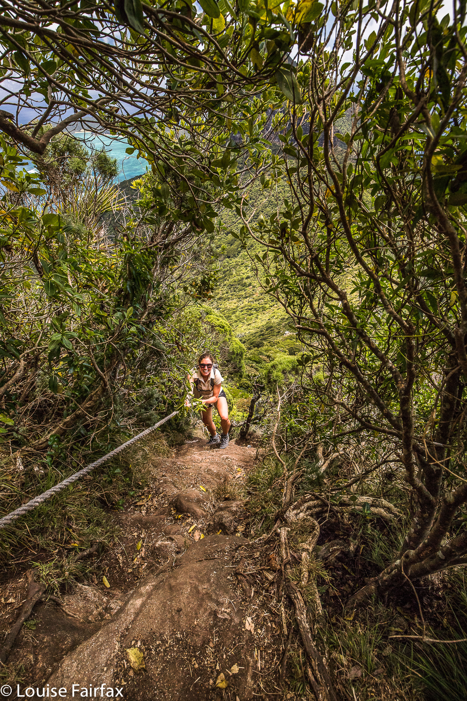
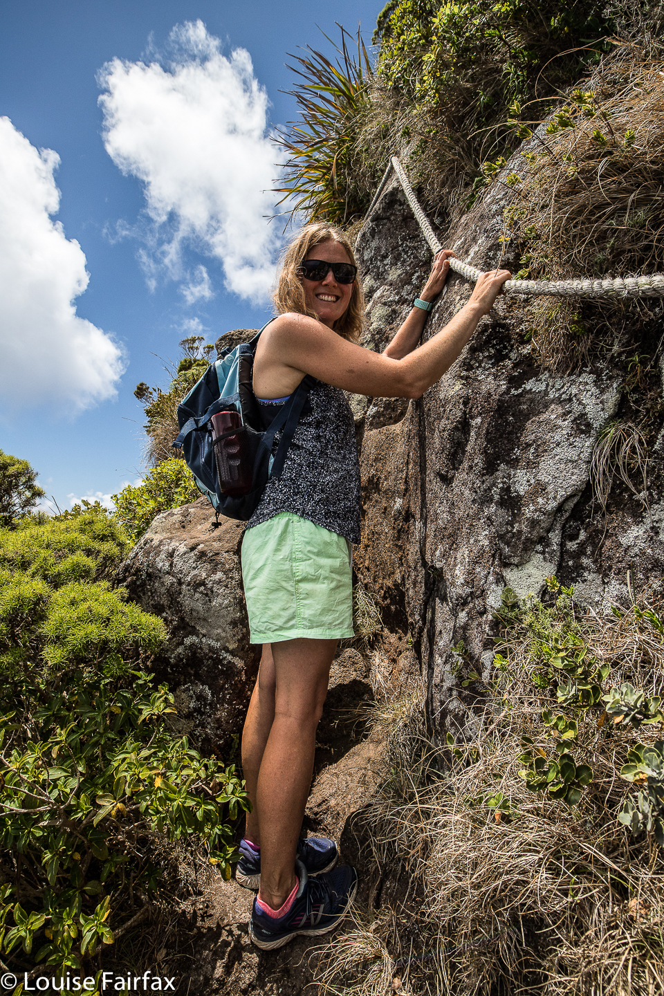
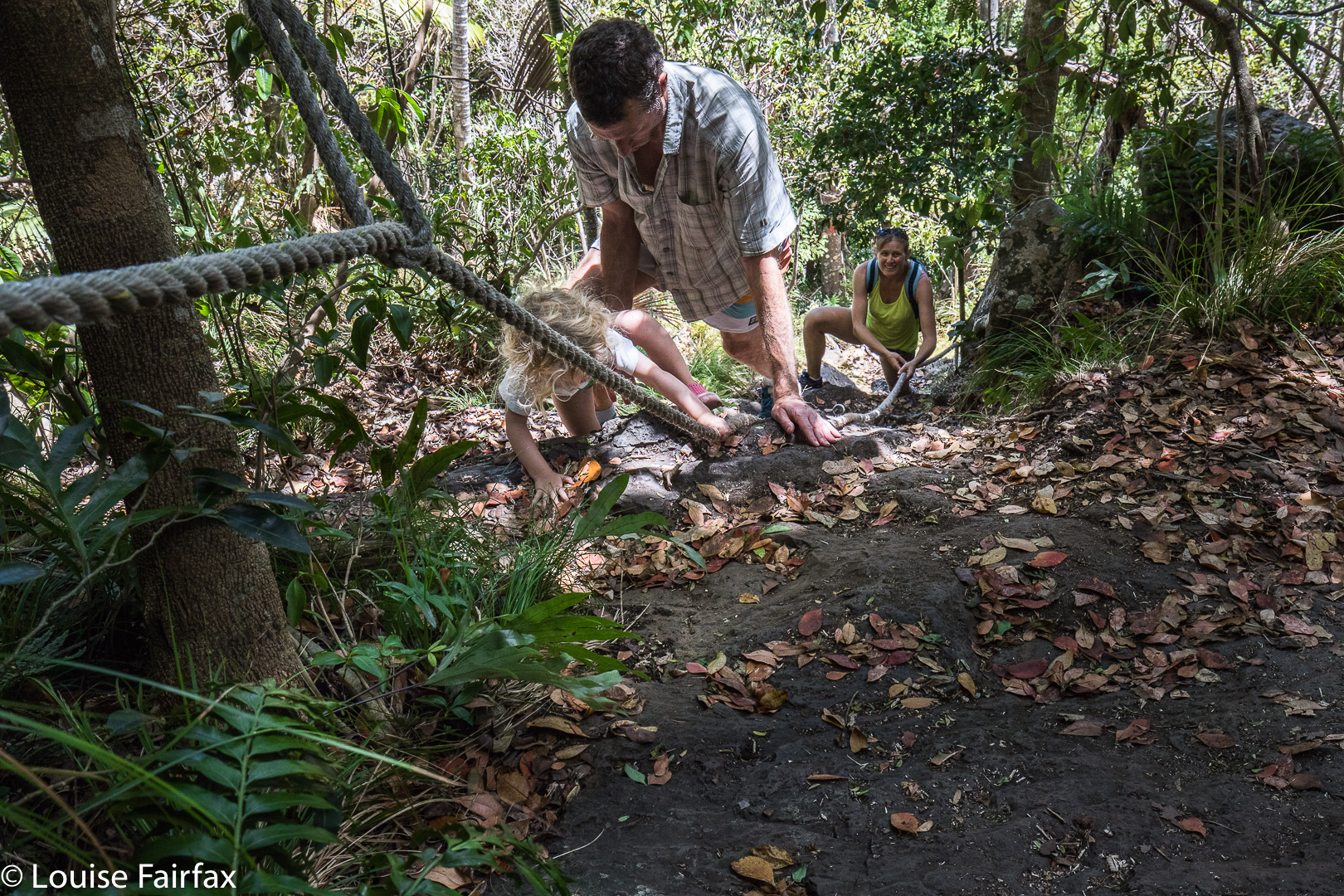
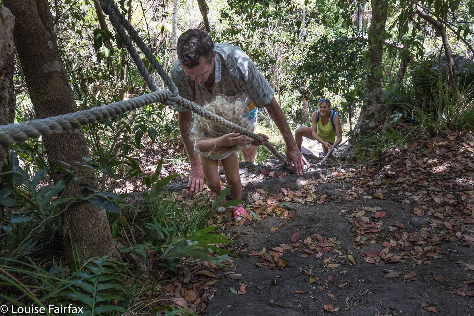
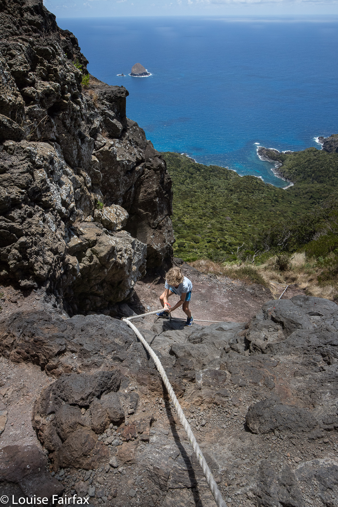
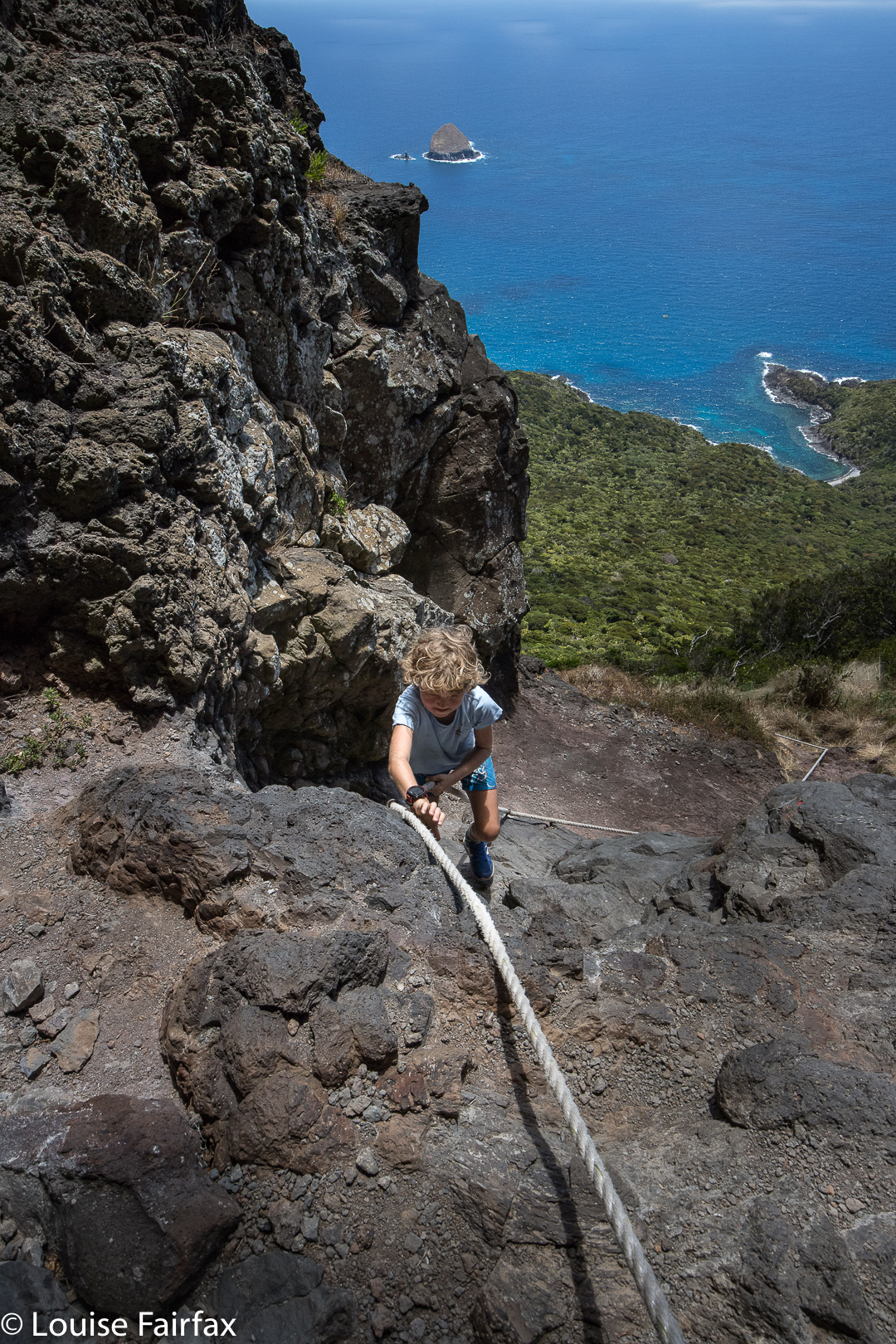
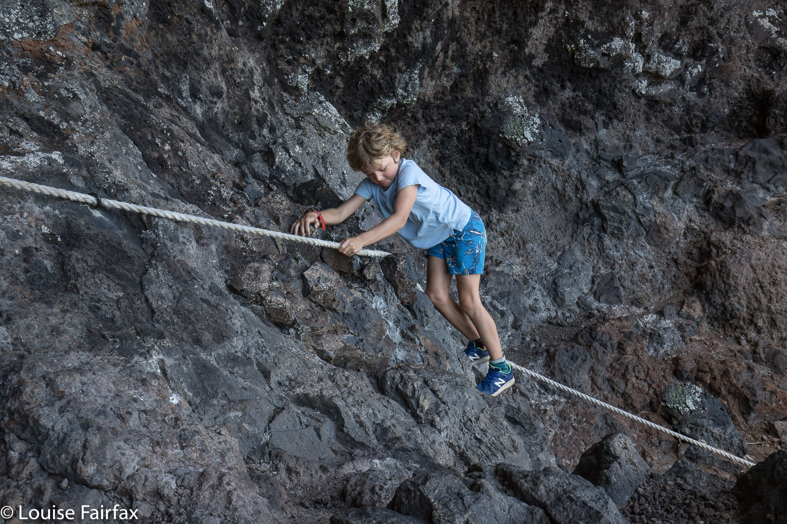
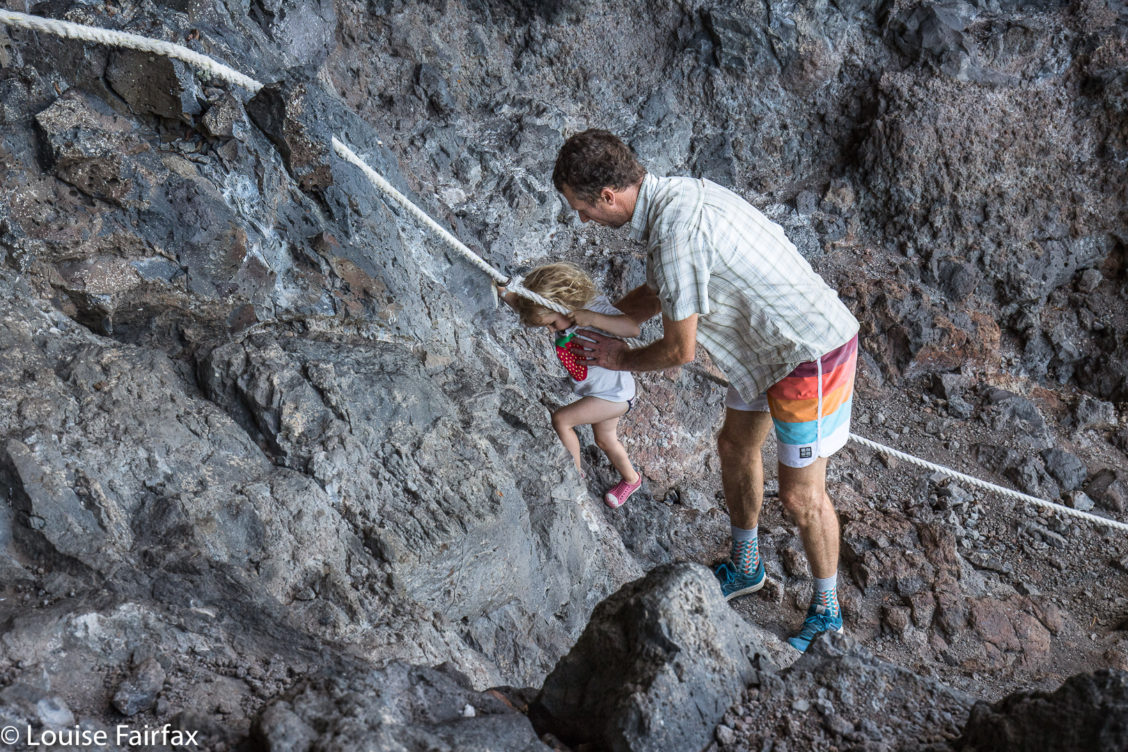
 One of the best parts about the mountains on Lord Howe is the physicality of the climbs: both Gower and Lidgbird Goat House require ropes as the gradient feels like pure vertical in some parts. It is four-limbs, in-your-face type climbing, which is good fun. Mt Sorrow and Bartle Frere in tropical far north QLD have similarly steep gradients. It’s like you’re climbing a ladder rather than a mountain, which is most enjoyable. Funnily, Walsh’s Pyramid is taller, and quite a sudden climb, but it doesn’t feel as steep in my memory.
 Of course, being smaller in area, LHI has a much smaller population: 350 denizens with 400 tourist beds, as compared to 1600 with 1500 tourist places on Norfolk, and this feels very nice as a visitor. The pace on LHI is much slower: the maximum speed limit on the island is 25 kph as compared to 50 on Norfolk, which possibly accounts for the more relaxed attitude on LHI concerning cycling. Gussy (just finished first class) and I mimicked everyone else, and happily cycled two abreast, three-quarters filling the road. No one was going to knock us down. In fact, it all moves so slowly that I was telling Gussy I needed to go to hospital (I had badly cut my foot on a shell), and the car behind heard me, and gave me a lift. We just popped the bike at the side of the road and went there. It was, of course, where I left it when the doctor dropped me off about an hour later (no waiting time, of course).
 I cannot tell you the actual length of walking trails available on LHI (I have read in one spot that there are 45 kms of trails, but I am not sure if that is one way, or out and back, or what), but I can tell you that I walked for several hours each day and still have one small section of trail remaining to be done (the extension of a trail I was on to Boat Harbour: about 1.5 kms in each direction). The structure of the networks means you do have to do some sections out and back, and I chose to do some things twice, such as the Lidgbird Goathouse, but I can assure you I was not bored, and can’t wait to repeat some walks next time, in different light or weather, or just to do them twice because once is not enough. Norfolk stood in stark contrast to this: although we were lovers of walking, we did very little as there was hardly any to do. The website lists many walks: six in the Botanical Gardens and eight in the National Park, but when you look closely, you see that these walks, with two exceptions, are between 60 and 760 metres long (the two exceptions being 1.7 kms long) – not enough to warrant putting your shoes on. Golf, Museum visits and duty-free shopping seem to be the main draw cards for NI. LHI does have golf too, but I can’t imagine taking time out from the other much more fun activities to be bothered.
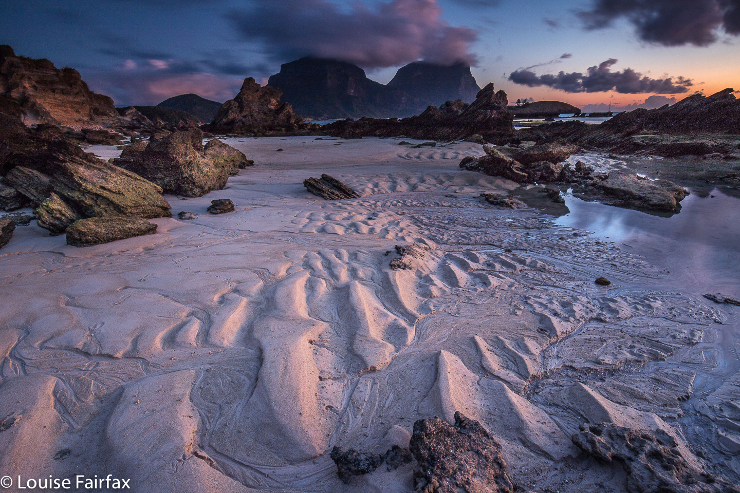 So, how did we spend our time on this magic island?
Day 1. Arrived at lunchtime. In the hot afternoon, I took myself up Malabar Hill, Kim’s lookout, down to North Beach, up another mountain that far end, down, back up over Dawson’s Ridge and down to Old Settlement Beach, and finally along the foreshore to ‘home’ near Ned’s Beach. This took 2 hrs 20. My guess at the horizontal distance was about 12 kms, with 518 ms climb yielding 17 km equivalents.
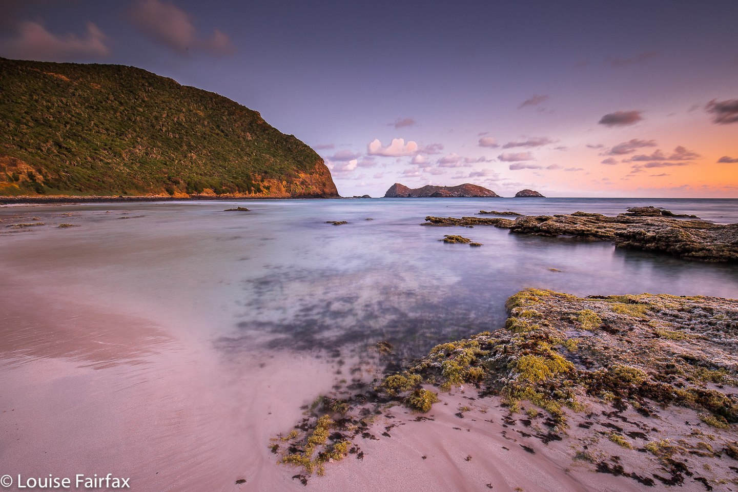
Day 2. I didn’t get much done today, as I offered to take the children swimming in the morning to free the others up for running. In the afternoon, all I had time for was a cycle and walk to Middle Beach, then Blinky Beach, and to explore the cliffs up above Ned’s (which I reached by climbing. There may be a road that goes there, but I found it easier just to climb).
Day 3. Lena and I set our alarms for 4.40 to climb up Malabar Hill in the dark to a point I had chosen in the light, and sit there and wait for the dawn. This was beautiful. After breakfast, Gussy and I went off on his first ever adventure without his parents. We packed food and drink, and then cycled through tropical forest and beside beaches to Blinky Beach, where we parked our bikes and set off to climb Transit Hill. (This took him 17 minutes up, 13 down; the cycling was 15 minutes in each direction). We extended the adventure by adding in a swim at Blinky, where I escorted him out past the waves. We floated in the pellucid, shining water, rising over the unbroken waves and agreeing that we could stay there forever. We were sure the others would eventually realise where we were and bring us food. After lunch, the two of us went snorkelling at Old Settlement Beach, where the highlight was swimming for at least ten minutes with a turtle. (The nadir was treading on a cutting shell and landing in hospital).
Day 4. Mt Gower. This deserves its own blog. See
http://www.natureloverswalks.com/nsw-lord-howe-island-mt-gower/
2 hrs 28 minutes’ exercise up and back, spread over eight hours, plus thirty minutes cycling in each direction, and a swim (with Nicole from the Gower climb, and a turtle) on the way home. I think I heard Dean, our guide, say the horizontal distance was about 10 kms. As the first and final 2 kms are basically flat, this means the gain of 880 ms is done over a distance of 3 kms. That is almost a 30% incline. That mightn’t sound much, but, believe me, you don’t often get that in a mountain climb. It’s fun.
Day 5. Cycled to Blinky Beach in the dark for dawn photography. After breakfast, climbed with the children to the Mt Lidgbird Goathouse, the route of which has a similar incline to Gower after the first saddle. This, too, deserves its own blog. See
http://www.natureloverswalks.com/nsw-lord-howe-island-mt-lidgbird-goathouse/
The children (3 and 7) took roughly 1 hour up (to 420 ms asl) and a tiny bit more down, being of cautious bent. Young muscles find steep downhill to be very challenging.
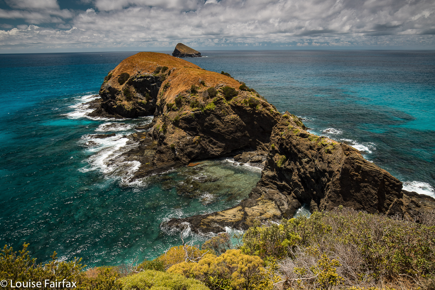 Day 6. I re-climbed the Mt Lidgbird Goathouse track with Yelena who hadn’t had a chance to see it yet. We took a longer route, over Intermediate Hill in the outward direction, and returning via Rocky Run, Mutton Bird Point and around near Blinky Beach to our bikes at the start. This took us 3 hrs 20. This route had 710 ms climb, with 10 kms horizontal distance, yielding 17 km equivalents.
We had a BBQ at night with friends made from the Gower climb, Laure and Vincent.
Day 7. Departure. We only had time for swimming and snorkelling. I had morning coffee with other friends made on the Gower climb, Tim and Katrina.
The hours not accounted for were spent eating, reading or playing endless games of Five Hundred and Oh Sugar (= Oh Hell) with Gussy, who has a great passion for cards at present. We thought our holiday was pretty perfect. Obviously, there was also time for dawn and sunset photography, for beach BBQs every night apart from two at restaurants, and for twilight swims and snorkels in the lagoon, where a feature seems to have been swimming with reef sharks (harmless). I can’t wait for “Lord Howe Take Two”.

