Drys Bluff 2013 Apr
Drys Bluff 28 April 2013
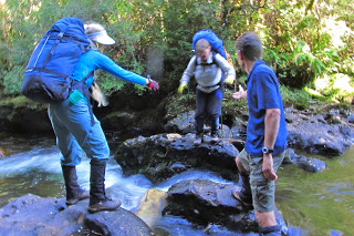
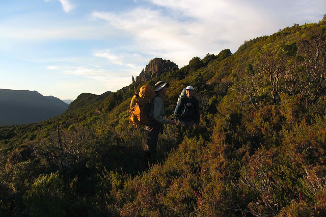
“Bob Brown’s here”, the excited whispers ran through the bus; heads craned to see. Pulses rose. This was going to be a fun day.
As we stood in a circle to say our names, you could feel that these adults were like kids needing to suppress giggles, although they did their best to introduce themselves with less of a teenie-bopper air than they felt. My pictures of them during the day have faces lit with huge grins. One said to me at one point: “This is such a cool club. Do you bring celebrities to every walk?”
I have known Bob for nearly twenty years, dating back to days when I was on the green ticket in two elections. Despite this loose acquaintance, I have never done anything with Bob that was not official, so even for me it was a treat to go walking with him, and to see him on more relaxed turf – especially nice to see him in the bush that he fights so hard to save. I sometimes fear that he’s so hard fighting he has no time to enjoy what he’s fighting for – and I feel guilty for enjoying it so much and never allowing enough time to fight properly for its existence. It’s hard to get the balance right.
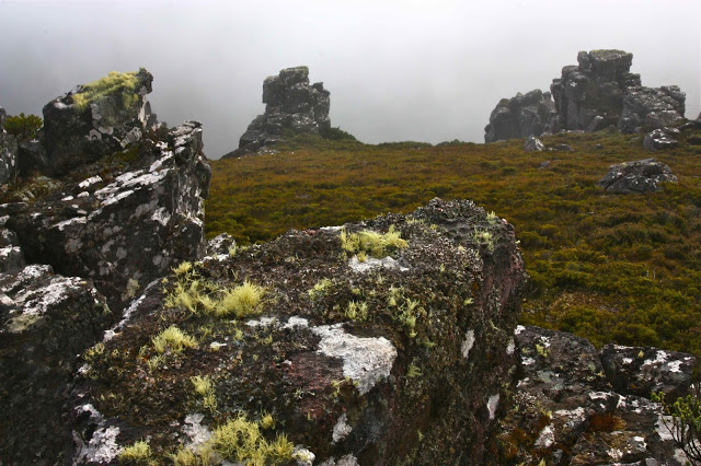
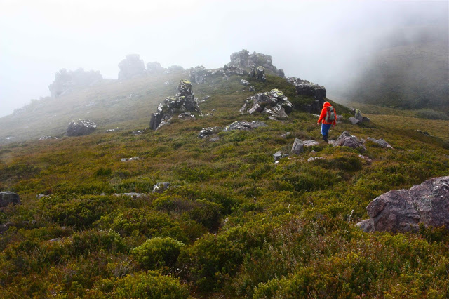
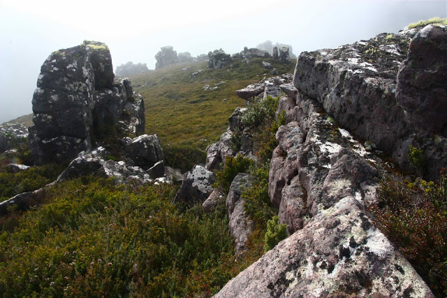
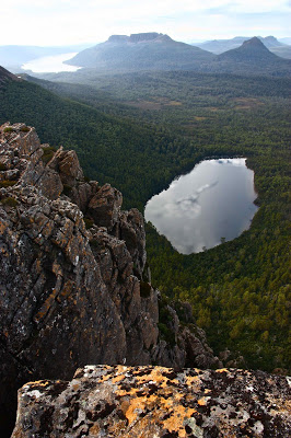
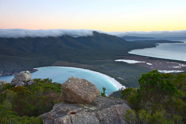
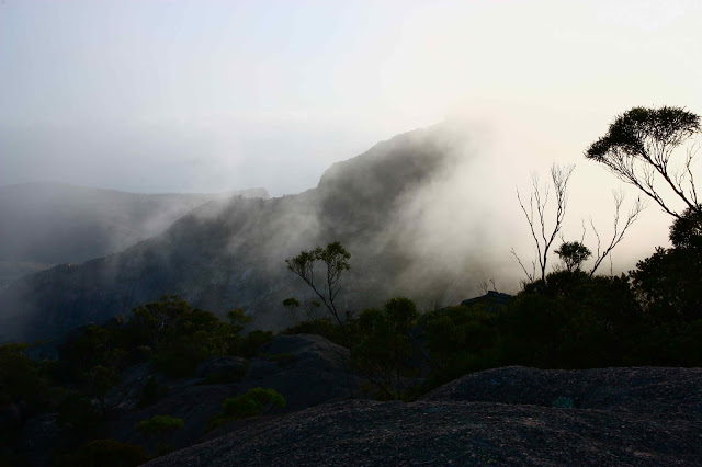
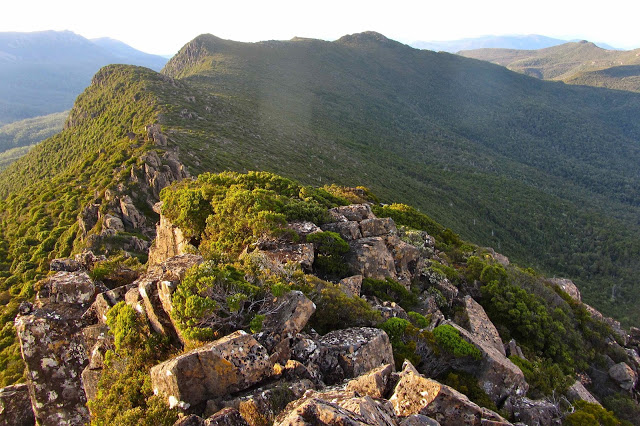
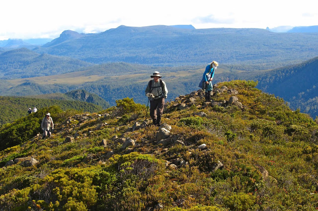
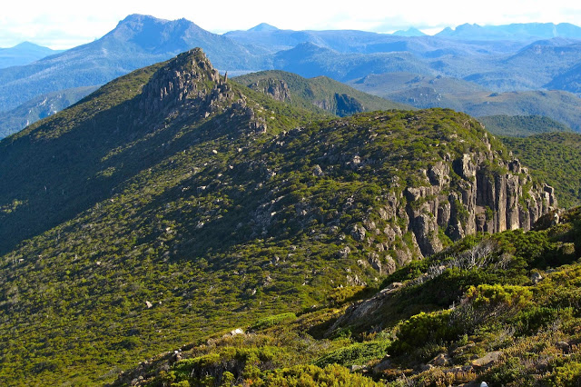
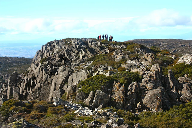 We climbed up the Bluff to pretty specy views, and then some of us perfectionists in the matter of peak bagging set off across the horrid scrub for the actual summit. Bob, having climbed the good part about eighty times I think he said, and having also officially bagged the thorny castle of a summit, was happy to go straight down with those who still retained sanity. We met back up down the bottom, where Paul had lit a fire, Bob had brewed some tea, Caroline had brought several cakes, and where the laughter and chatter continued until after dark. Most of us came home with a little goody-bag of walnuts, courtesy of Paul’s efforts while we had been off, gallivanting on high.
Gould, Minotaur, Guardians 2013 Mar
Mt Gould, Minotaur and The Guardians 9-11 March 2013
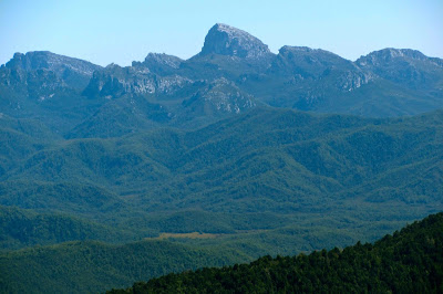
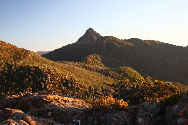 Gould as seen form the Labyrinth
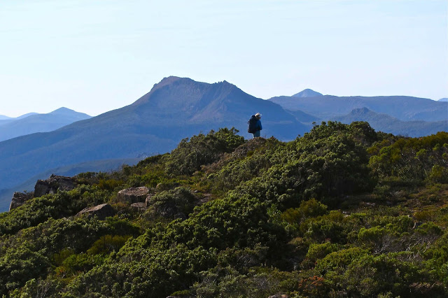
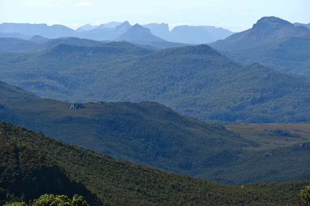
This was a trip with many highs and lows, but a definite high point, in both senses of the word, was summitting Mt Gould on the first day. This is a mountain I have long admired for its shapely triangulated peak, distinctive from many vantage points. It is the subject of many of my photos, but I had never been onto its bulk. I adored the view from the top, and stayed there a while, soaking it all in.
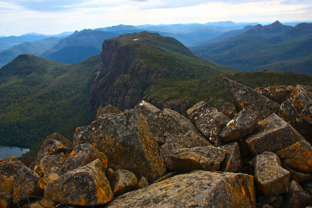
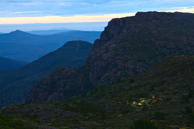
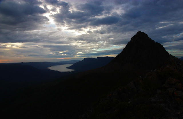
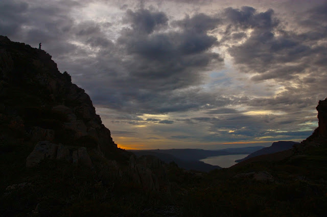
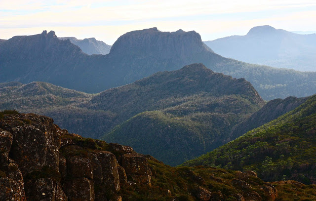
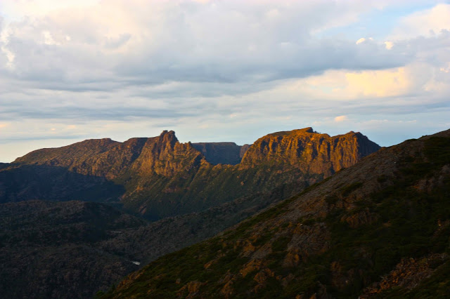
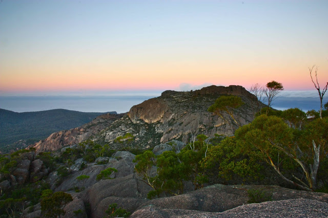
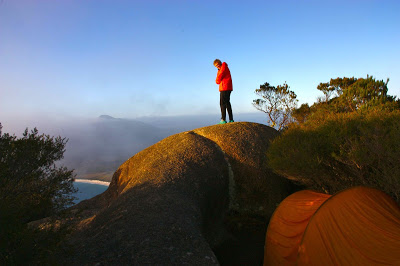
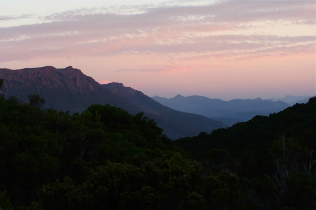
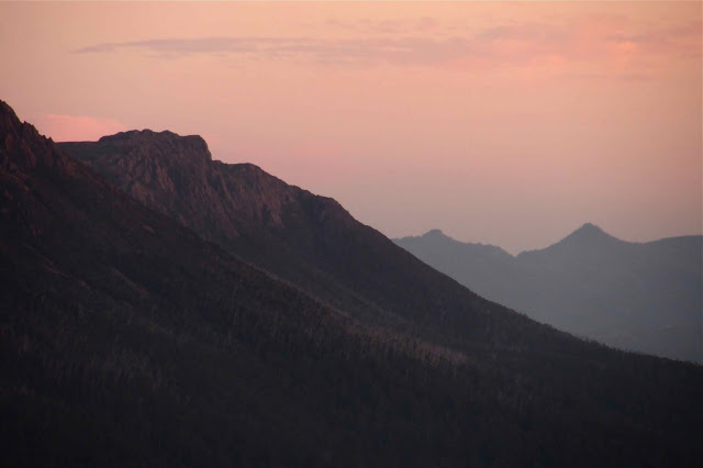
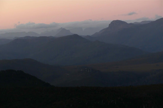
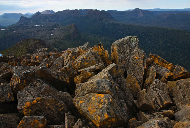 From Gould summit, looking towards Minotaur, Parthenon, Acropolis, Geryon At the end of the day, a campsite was chosen near the summit of the Minotaur. Sunset and sunrise yielded photos that were pretty nice, although not perfect. There were a few too many clouds for the sky to go pink, or rocks to go red as they sometimes do. The silhouettes were nonetheless grand, and we enjoyed eating and watching evening close in around us.
From Gould summit.
Day 2. The next day promised to be very hot, even though the clouds were building up, and it kept its promise. Sweat poured down our faces as we climbed The Guardians with their magnificent panorama. We were tiny ants on gargantuan cliffs dropping perilously several hundred metres to Lake Marion below.
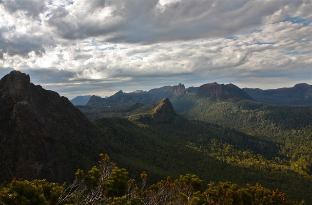 Photo from the Gould-Minotaur saddle
All around us were famous mountains, many of which we’d climbed, but were now seen from a new angle. It would be lovely to camp by the tarn rather than see the glory in the midday glare, but one can’t do everything, and Gould had won out this time. Everyone stripped off and had a swim. Some swims lasted longer than others. Being a wuss, mine was a stripped-down body wash, but I enjoyed having the cool water on my skin. It was just a bit too cold for me to dive in.
We were back at our tents in time for an early lunch, and were soon off, over the summit of the Minotaur (marvellous views again, but these were not new to me, as I had been up when we first got there, and again at dawn), down to the saddle between it and the Parthenon, and thus into the Labyrinth.
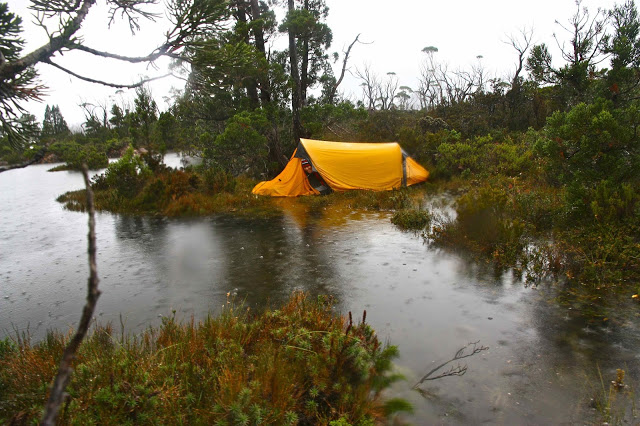
On we went to Lake Eurynome, via a detour. Just as we arrived, the heavens opened with a bang. Gone was our much-desired swim. I didn’t know droplets of water could be so big and heavy. They were truly amazing, and I admired them while I tried to mix efficiency with speed in erecting our tent, trying to be calm but fast.
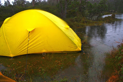
The storm furied still. Thunder and lightning were separated by only a second at one point. (I grabbed Bruce, probably bruising him, as it crashed above us). Somewhere in all of that I did check on the state of play out the tent window, and I did notice at that time that a river was forming and running beneath the midpoint of our tent, but in such a storm, what could one do? Bruce in the background suggested I start bailing, so I got a pot and bailed and bailed but the river kept flowing, and I got tired, so gave up. We’d see what was what when the lightning stopped. The rain continued to plummet down.
After Kumbaya, and possibly because I was running out of songs in the next category, although we hadn’t begun on tunes from musicals yet, I decided to check on the view out the tent opening again and see how things were faring in our vestibule. I unzipped. My squeal was heard wide and far, although misinterpreted. C thought it was a squeal of terror, but actually it was one of surprise and a loud noise made in response to an absolutely hilarious situation.
Unbeknown to me, the others had all been sitting there watching the water rising, but felt immobilised by the deluge, and thought that if we were singing, then it must be OK. But we were singing because we didn’t know what was happening. I now saw that we were entirely surrounded by lake. We were a little Tent Island in the middle of the lake that had risen up 30 cms and swallowed us, and so were our friends. Luckily, unlike the victims of the floods in QLD etc, we could pick up our houses and move them whilst the waters rose into our bedrooms.
The storm had not stopped, but the lightning had eased and the thunder was less booming as I left our tent and began moving it to higher ground – of which, actually, there was none. That is, there was higher ground, but it was covered in sharp bushes. We tried to find enough bush-free area to make a bit of a go of it. I left Bruce to try to put pegs in the tent in the new spot and went off to help C who had no one to help her. First, I helped ferry her remaining dry gear into the dry spot enabled by our re-erected tent (thanks to B), and then C and I dug elbow deep in the water to retrieve her pegs, pull them out, and then four of us – C, B, Mike and I – picked up her tent and went wandering with it, in search of free space. I found her a tiny bit, but it had a stone in the middle. It was a choice between a stone and prickly scrub, so she chose stone.
While I did the last of the above process on our tent, Bruce got the stove going on a rock, and boiled water both for our dinner, and for Mike, so that once he finished bailing he could get some warm food before the light completely went.
The next day, considering one thing and another, was fairly humdrum, almost boring. We didn’t get lost; we climbed no mountains; we made the ferry and we got home. And, believe it or not, I guess I’m just a weirdo, I enjoyed the walk immensely. Not only have I climbed several new peaks with brilliant views, not only has Bruce done an amazing job of traversing quite a wild part of Tasmania, but we have experienced a huge adventure, and one that we’ll laugh about together for years to come.
Amos 2013 Mar
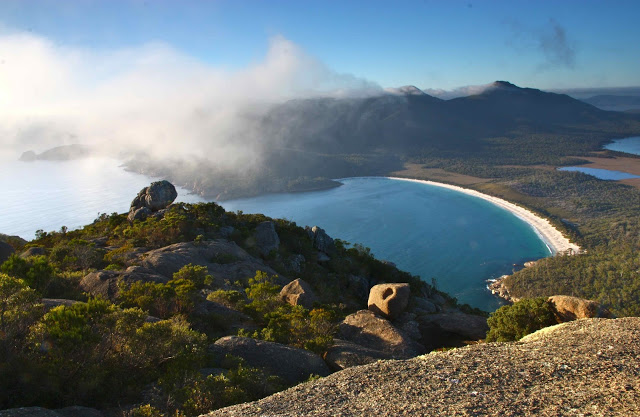
Mt Amos 2-3 Mar 2013
Loddon Range 2013 Feb
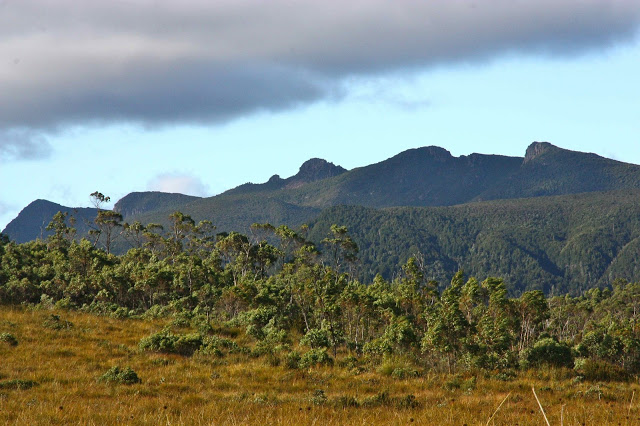
Loddon Range: Loddon Bluff, Ronald Cross and Church Peak 23-4 Feb, 2013
The bush was thick. Very, very thick. The distances we covered were hilariously minimal given the time we took to do it, but with impenetrable walls of well-armed scrub, that’s what happens. I’m delighted to have done it.
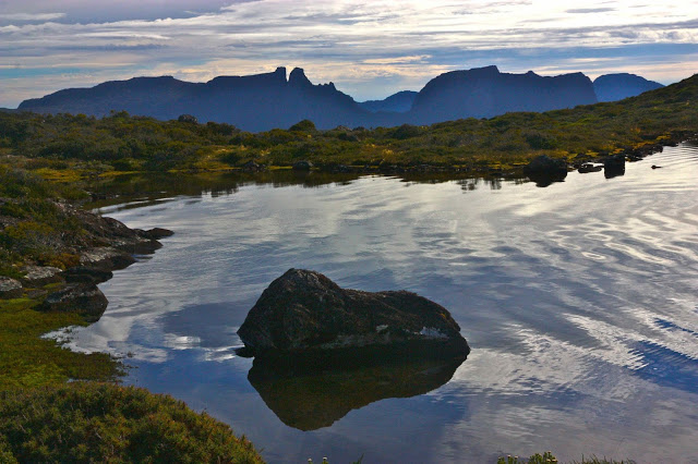
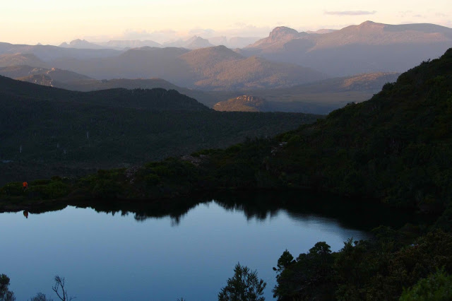
Needle Tarn in the evening.
The evening light after dinner was wonderful. I went off and climbed a bit around the place, sometimes photographing, sometimes just sitting on something and singing, enjoying the atmosphere. The others had retired so I had the known (or visible) world to myself.

