Nelson Falls and more Oct 2024

As I drove towards Miena at the start of our adventure, the snow began to fall. The further I drove, the heavier it got. This was an exciting start to our adventure. But my mind asked: How cold would the forest be, bushbashing through new snow? Climbing steep slopes with ice-laden leaves dropping their bounty on our backs? Time would tell.
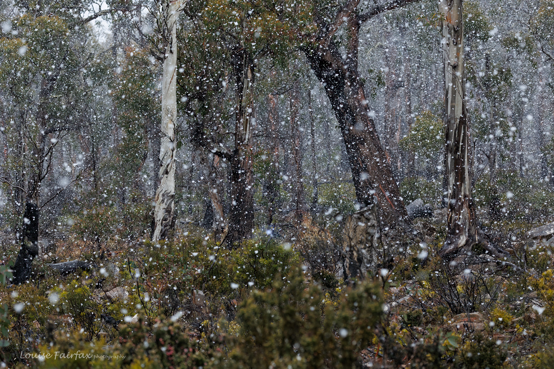
Snow, Central highlands

I unloaded my gear at the bunkhouse at Derwent Bridge, and cooked dinner, waiting for my friends. When they arrived, they brandished photos indicating that the snow was now settling. Tomorrow would be interesting. We huddled by the heater, exchanging news, storing up on warmth that we wouldn’t get on the morrow.

The next morning revealed a wondrous white world. I was so tempted to skip waterfall bagging and just photograph delicate rainforest leaves in the snow. They knew I would be like that, and kind of set a schedule that prevented me squandering the day on the “wrong” activity. Past fairyland we drove, with me aching to see such beauty but knowing I would regret dipping out on new waterfalls if I did.
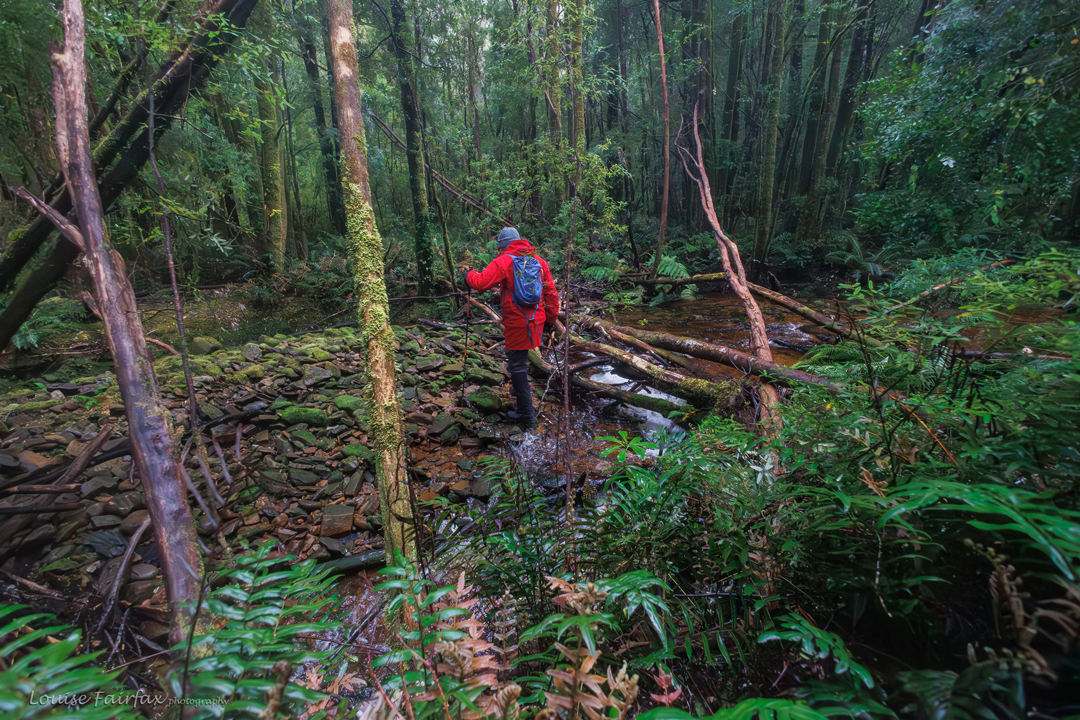
Crossing the creek that our waterfalls would lie on, higher up.

The waterfalls we were to bag were just below the snow line, so at least we didn’t have to bother about little ice bombs dropping from the sky. This was actually my second attempt at these falls. On the first attempt, I had a broken hand, and got not much further than the start line.  I didn’t dare risk a re-break. Some forests you can do with a broken bone, but not this one. Denied excuses this time, here I was, dreading crossing the creek below the main falls at the start of a day where the car thermometer read a mere 2 degrees, but trying to put on a brave face anyway.  Luckily, the guys were no more eager than I was to get wet in such conditions, so we chose to do the three easier falls first, before tackling the mightily steep ones, where the slopes dropped at 89.9 degrees straight into the river below. Even the third of the easy ones would have some “interesting” moments.
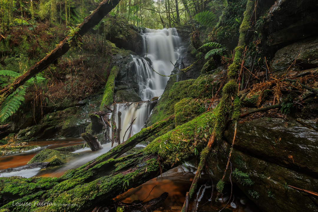
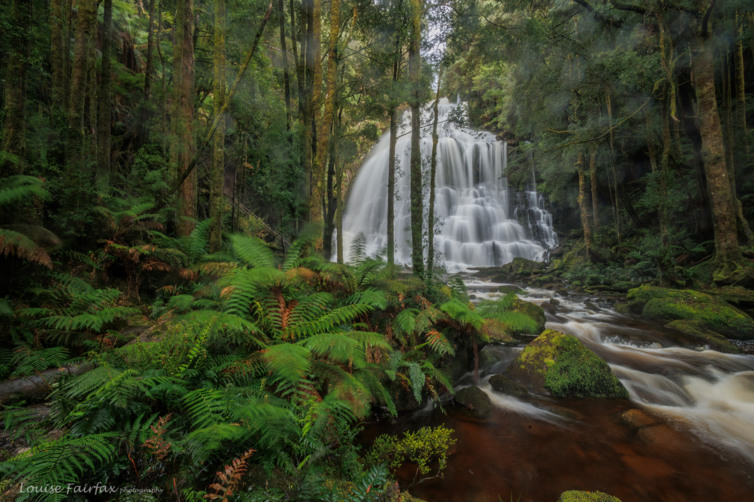
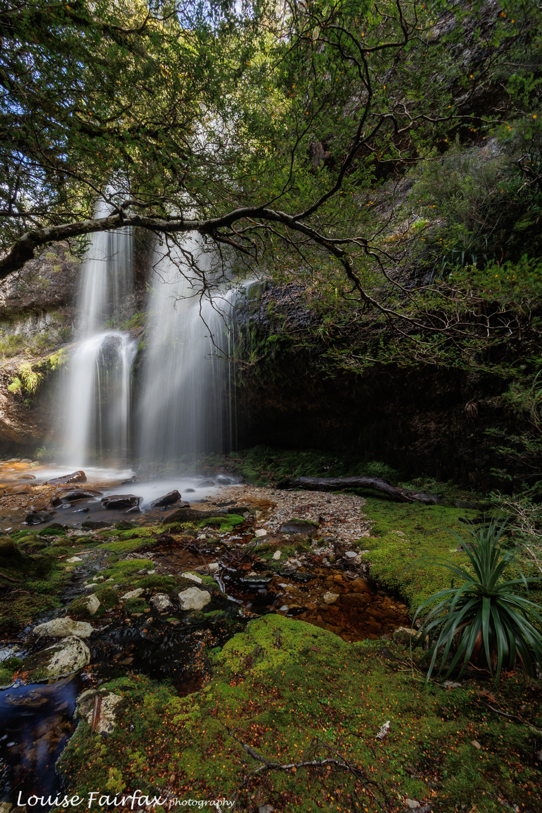
Lower Nelson Step Falls in mossy glory

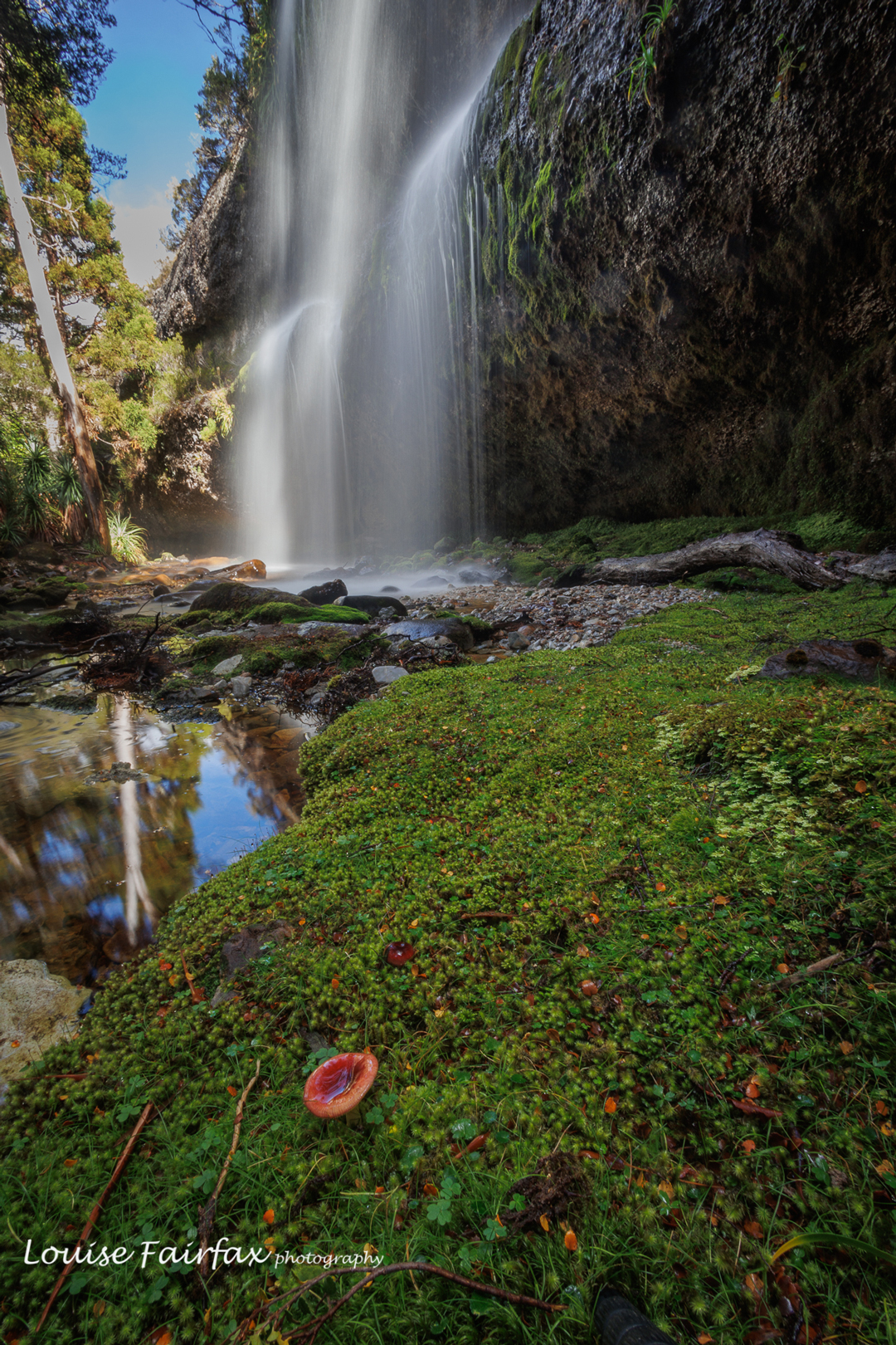
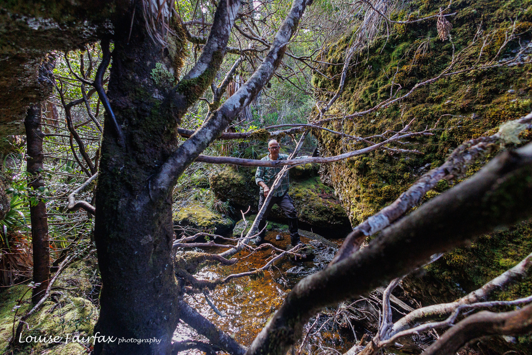
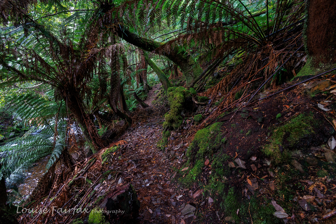
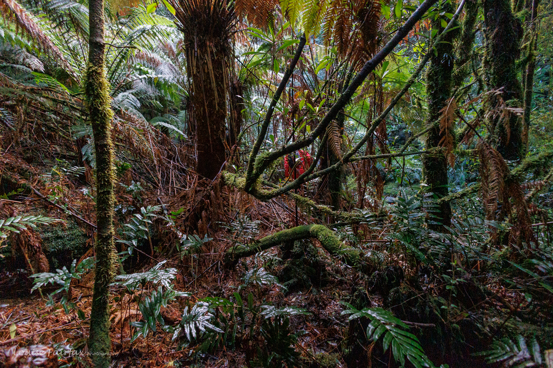
Such challenges were for later. At first we just enjoyed walking at a pace that allowed us to stay warm, passing through kangaroo ferns, Dicksonia antarctica  and mossy nothofagus. There were a few fallen trees to negotiate, but not too many, and very little actual bush bashing was required. Some short steep drops added interest to the mix. We even happened upon some out-of-season fungi. But we were on a mission, so I just privately called “Hello” en passant and forged ahead on our goal of finding waterfalls.
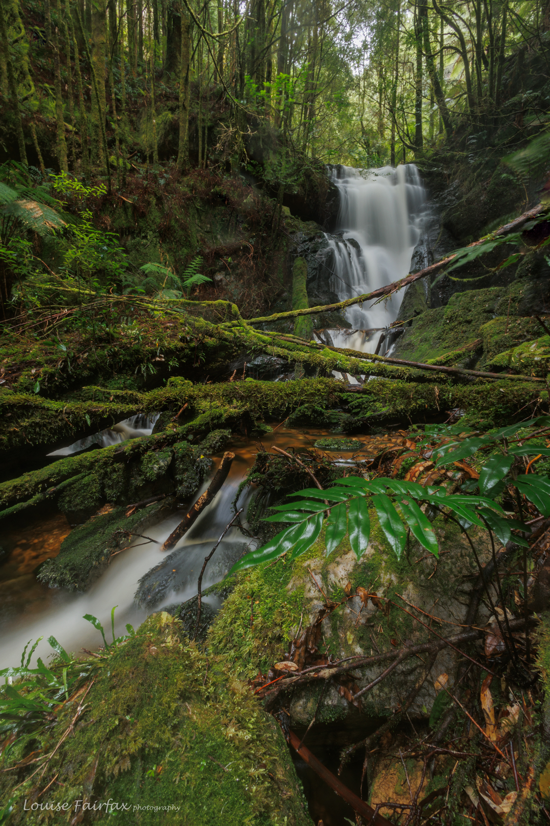
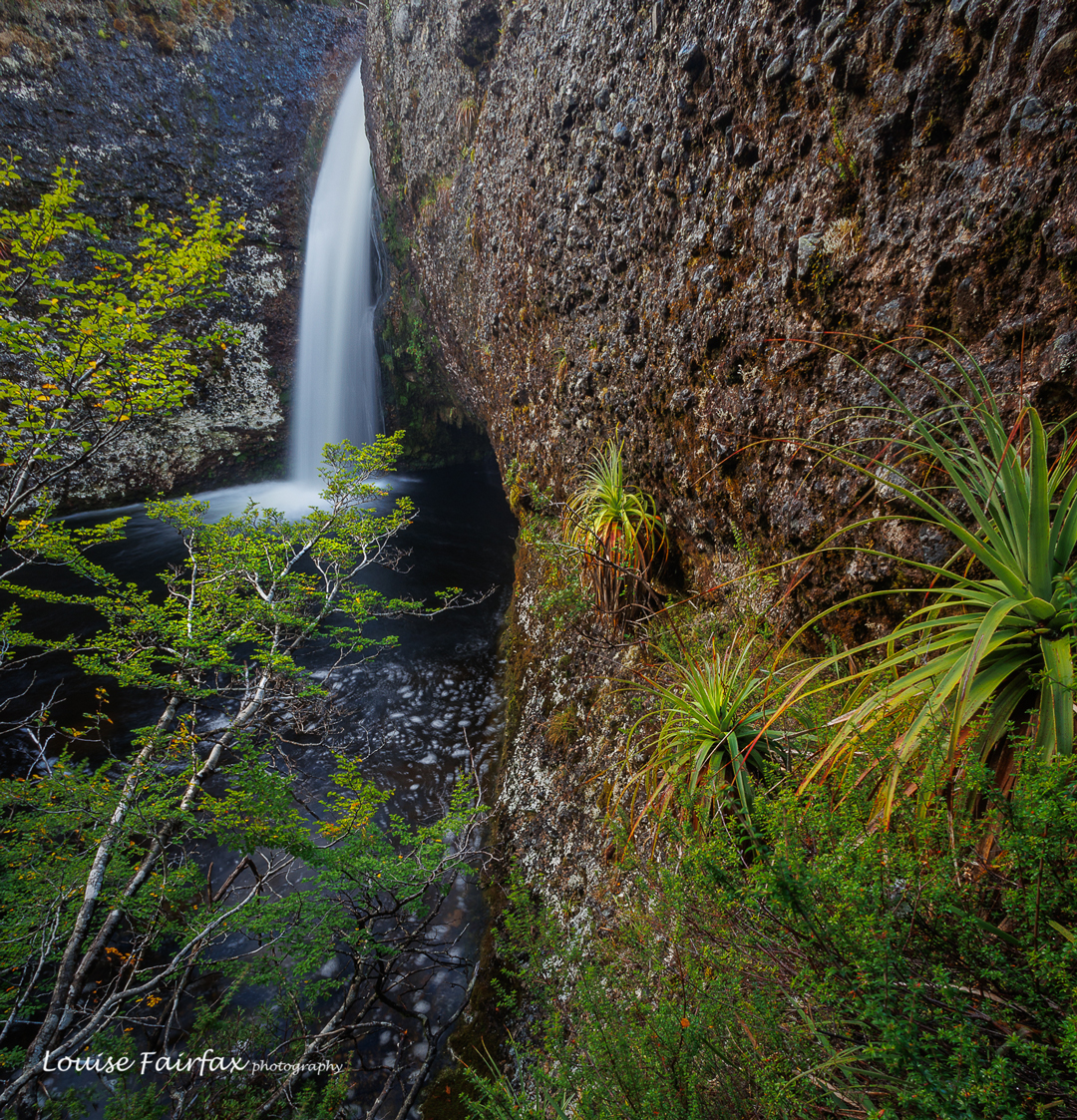
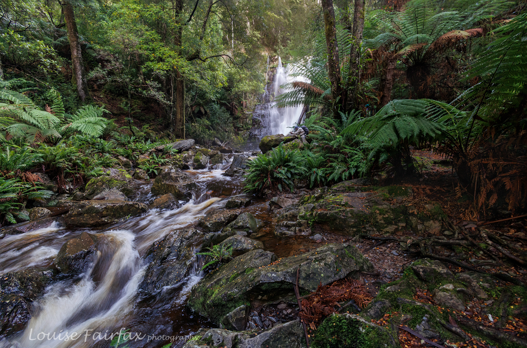
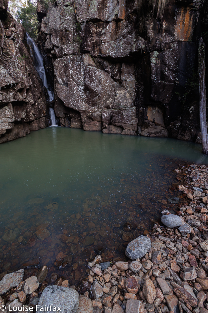
Lower Nelson Step Falls

Any reluctance to forgo spending time with snow or fungi was quickly forgotten once the first of our waterfalls was reached, about 45 mins after leaving the main Nelson track. Sometimes I forget how wonderful waterfalls can be.  At last I didn’t have to worry about time or holding anybody up. Out came Caedence’s tripod (and out came mine). Adrian is faster, using just his phone, but is totally happy to wait while we two do our thing with heavier, slower equipment. I take lots of shots with different f-stops and times, so I can determine my favourites later, while seeing the outcome in more detail on the computer.
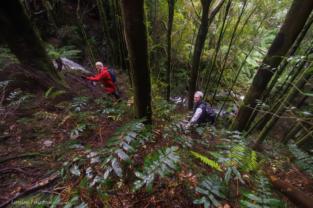
Adrian and Caedence climbing between Lower and Middle Falls
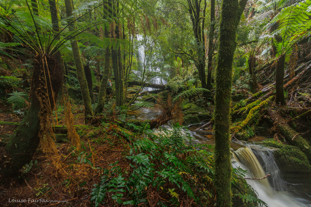
The Middle Falls are sighted at last

The second waterfall was even more beautiful than the first. They felt terribly special, so hidden and yet so wonderful. They are part of the whole wider pleasure of needing a semi-challenging journey to get there; of not having the falls just being served on a ready-made NPWS dish. I like to have to work for my waterfalls. Stuff that comes too easily is not valued as highly. My brain and body both enjoy working for their outcomes. Anything too easy is boring.
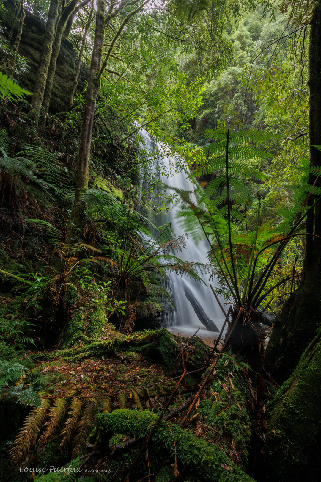
Middle Nelson Step Falls up closer

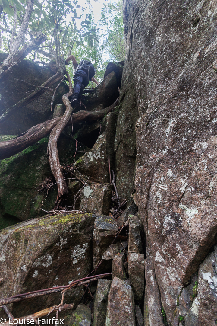
More photos taken, more oohs and aahs uttered, and off we set for the most challenging of the climbs to the third and final fall in the series. Here the ground was very steep indeed, and long legs were required to make one of the climbs that offered a wide range of injuries if one missed and fell. Kindly, Adrian offered me a knee to place my foot on, and moral support by standing below me. (On the way back down, I used his shoulder to cut the journey short, as it were.) I would not have liked to have done that particular climb without a safety net below me, and amongst his many assets, Adrian is an excellent safety net.
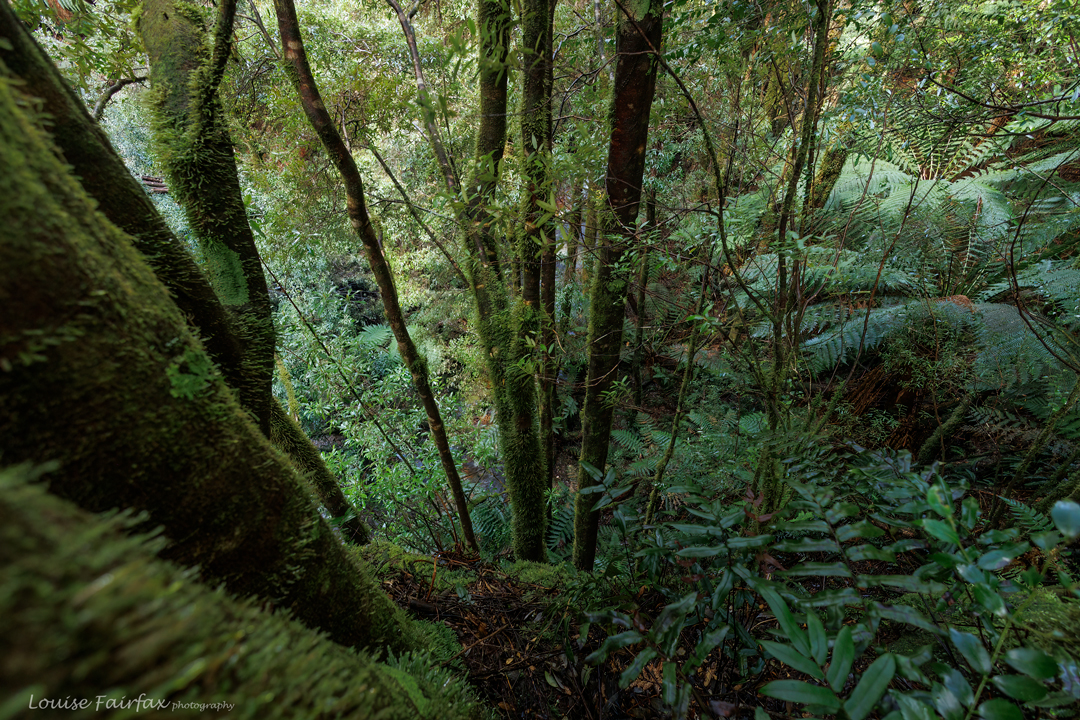
Looking back down from the top of the Middle Falls
Climbing. It wasn’t all a walk in the park.

I had cut breakfast short so as not to hold the others up. It was nearing midday and this animal that needs constant feeding was wilting. Why did these guys who are twice my size not need feeding? Why and how was their breakfast so small? At last we stopped for a snack, but the others had finished and I was only half way through mine. I knew we were about to enter some seriously tricky territory. I didn’t want to foul them out by not being able to do it, and I also didn’t want to just wait in the forest in the cold for them to come back. I also didn’t want to get so deeply into difficulty that I couldn’t get out by myself. I had had a snack but was not satisfied. How many hours would this bit take? I decided to quit while I was ahead. If it was doable for me, we would come back some other time, but for now, they could be more daring without me and I wouldn’t have to feel guilty about dragging them backwards. I pulled the plug and went a got myself soup, fruit buns, juice and coffee to quiet the beastie within. It began to rain. I was not unhappy to head for home and collect Tessie a day earlier than expected. As I entered the kennel, I could hear her yelping with joy at the sound of my approach.
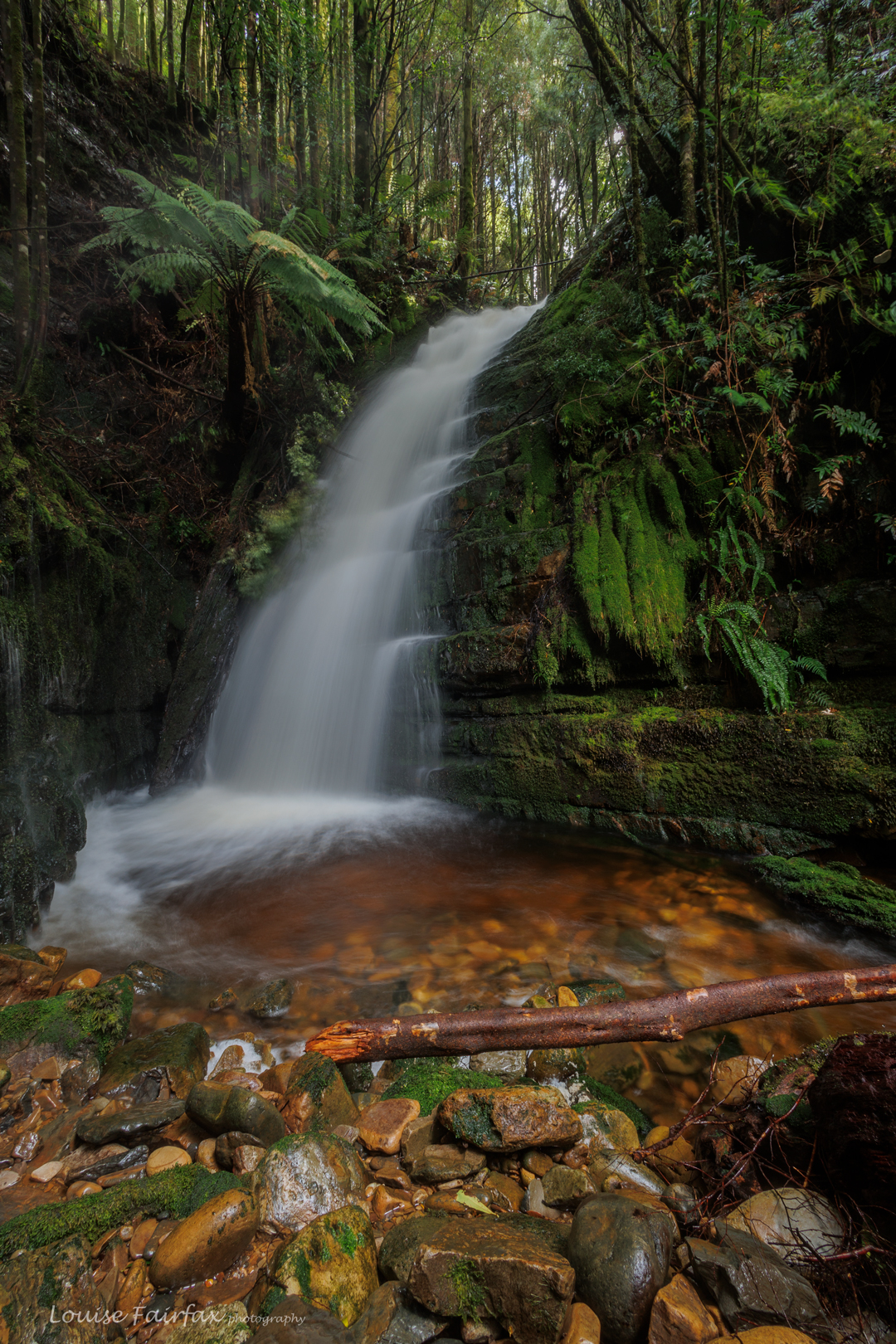
Upper Nelson Step Falls
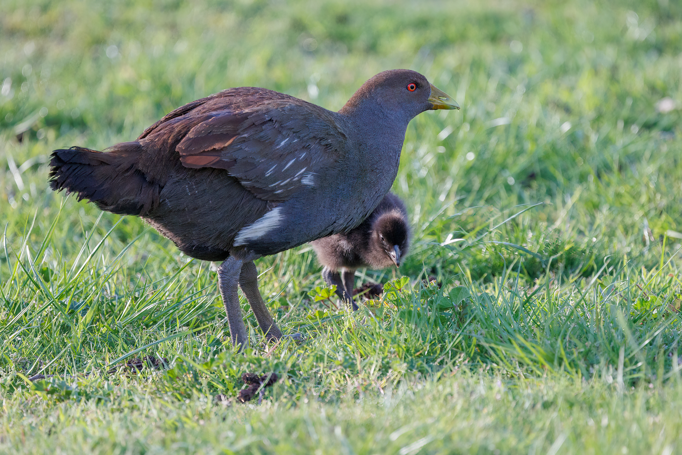
Tasmanian Native Hen (Gallinula mortierii) plus chick on the way home

Inglis Escarpment 2024 Apr

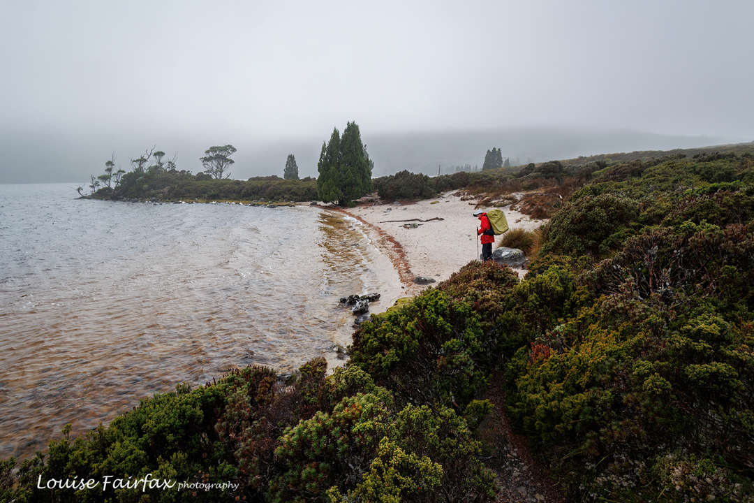
Inglis escarpment is not a name on the map, but where we went has no name, and I had to call this blog something, so I settled on Inglis Escarpment: after all, Mt Inglis was up behind us and we were on a wonderful escarpment with grandstand views, so hence I have given the area that blog name so I can refer to it.

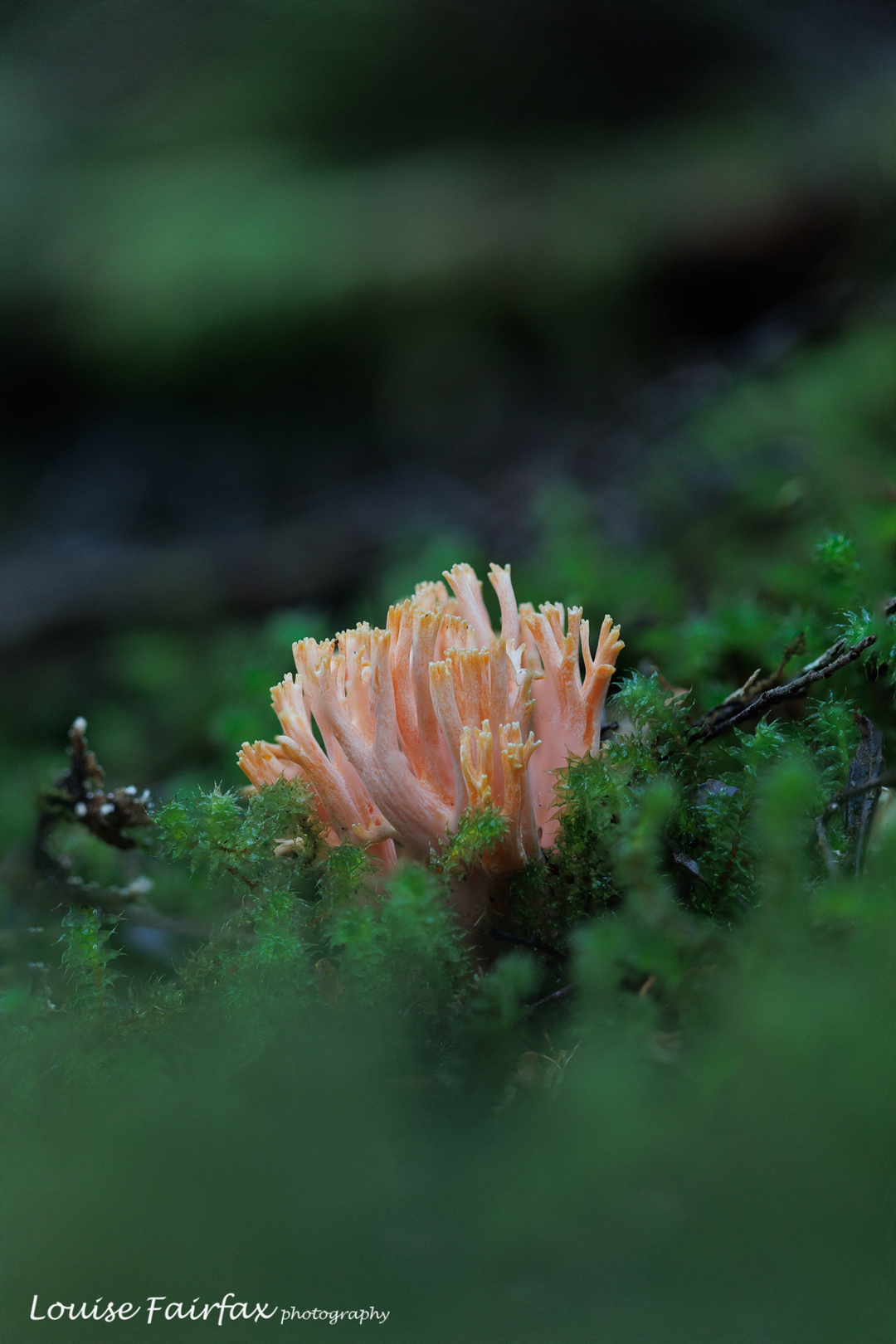
Ramaria samuelsii. Not too many fungi, but at least we got some.
Adrian out the back of Cradle
Me. Thanks Adrian

I went with my waterfall bagging friend, Adrian. As with our last trip, we had hoped all four of our group could come, but Caedence is off playing cricket in England (congratulations) , and Leandra had other commitments, so the group was whittled down to two.

Nothofagus gunnii doing its thing.
Pretty waterfall

Our basic plan was to spend more time in the beautiful Bluff River Valley, and revisit Tomahawk Falls. That was the reason given, but really, we both just love spending time in off-track wilderness, imbibing new views and enjoying new vistas on the grand scale, and delighting in the minutiae of nature closer up.

Russula persanguinea plus a waterfall. does it get better than that?
Bit of water bashing, bit of scrub bashing … our idea of fun.

To get off track there, you have to first swallow a fair bit of the Overland Track with its necessary boards and stonework, but we dealt with that pretty efficiently. It hurts the feet, but at least you move through it fairly quickly, and the scenery is still lovely. We had our first short break at Kitchen Hut, another even shorter at the Igloo, and an early lunch somewhat near the Lake Will turnoff, before heading off in that direction to begin other wanderings.

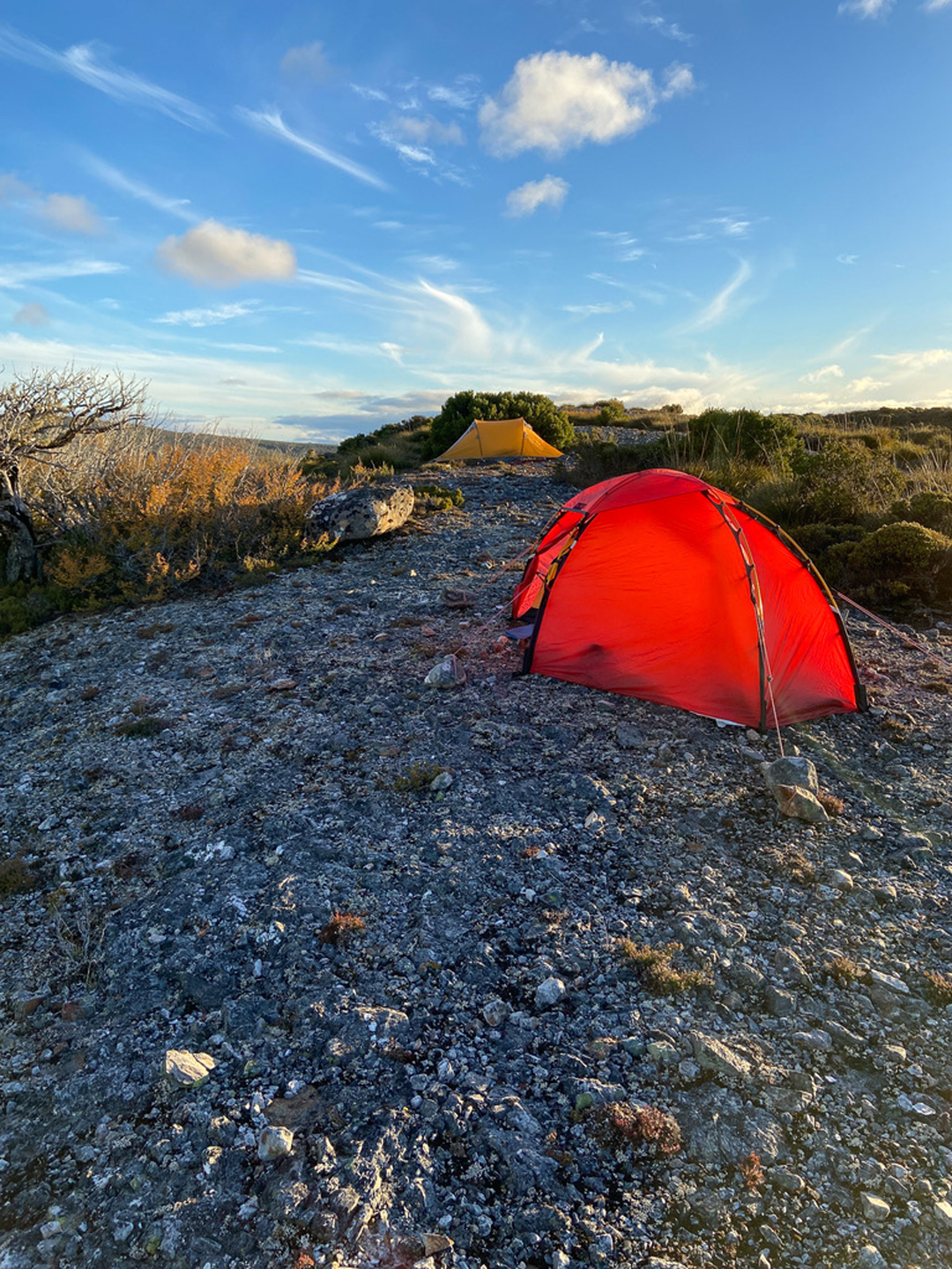
The wise girl pitched her tent upon the rock??? And the wiser man pitched his near a protective bush. No problems: no wind was forecast and no wind came. Thanks for the lovely shot Adrian.
Taken from my tent. Talk about lazy.

As you can see from the photos, we visited pretty waterfalls, and got a marvellous sunset. I have to confess that several photos were taken from inside my tent, as it was starting to get pretty cold after the sun had set. We were so busy exploring nearer falls that we didn’t have time to get to Tomahawk on day 1.

Innes Falls
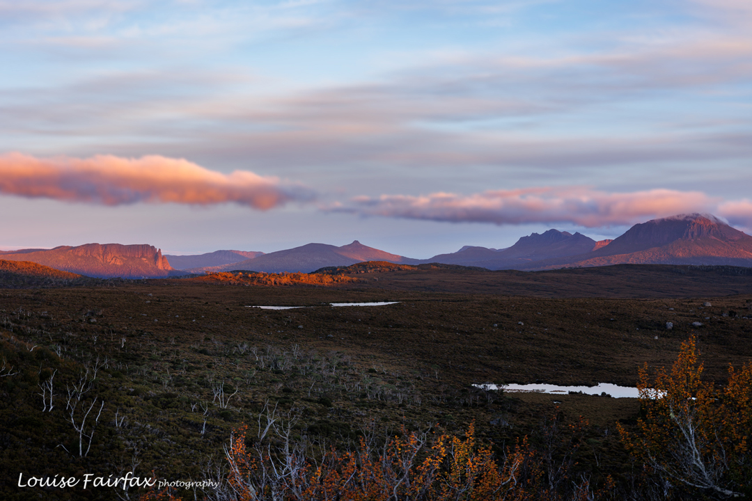
Sunset. Inglis Escarpment. Sigh. This is also taken from my tent, as it was now getting very cold.

This was intended to be a four-day trip, but when we awoke to rain on day two, and saw the latest forecast was for rain for all the rest of the trip, we decided that we didn’t want to photograph in the rain, and neither did we want to hang around in our tents doing nothing. Walking out in the wet is much nicer than sitting being inactive, so we packed up our gear and returned home, saving Tomahawk for another trip.

Time for man to go home. Lake Will.

Adrian’s stats say we walked 60,000 steps in the two days. My watch says we did 10 hours 40 mins pack-carrying walking (not including any breaks or non-pack exercise), the time pretty much divided evenly between the two days. This was a nice amount of exercise. The rain wasn’t too heavy; the world is good. We both felt perfectly content that the trip had been worth it.

Blackboy-Mathinna circuit.

Having once climbed Mt Blackboy by the easy route, I was not all that interested in a repeat, but today we took it head on and did a traverse along the high rocks, and that made it a totally different and really fun experience.

Fingal Valley

Not only did we attack the boulders from their most challenging angle, we also began way, way down at Mathinna Falls, giving us a climb of over 500 ms in the process, and not from the nearest road access as is normally done if you only have bagging in mind.

Hypholoma australe – these were near the carpark, before the real fun began.

The actual climby bit was probably only about 2kms horizontally. Do your maths: that’s STEEP. People from our small group were falling and slipping the whole time. It only counted as a fall if you landed on your bum or worse. I was relatively unscathed with only three falls. Several of my friends got into double figures. One specialised in quite spectacular landings.

Delvin Ck track to falls

Even just standing talking waiting for the rear to catch up, you kind of slid down the slope unless you grabbed a sapling to prevent the descent. I was sure I spotted a flat bit of ground somewhere down below (and John backed me up); this became a source of many jokes as we tumbled our way downwards.

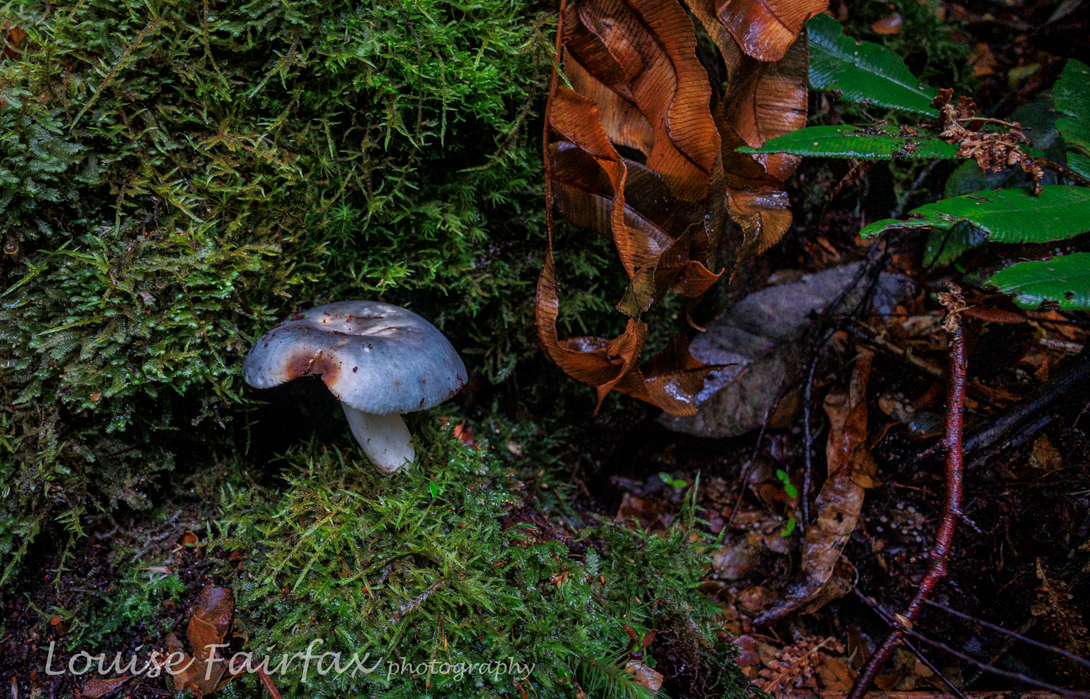
Russula viridis – very pleased to find this one! You don’t see them often.

Sorry for the lack of photos of rocks and forest: when you are above your head in ferns, it’s hard to get a shot, and the rocks were reached in midday glare, which I don’t find conducive to pleasing photography. I leave the massive and alluring boulders to your imagination. Meanwhile, if you know me, you know I love fungi.

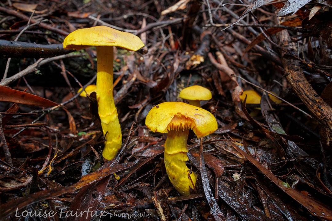
Dermocybe canaria. I have also not seen very many of these in my hunting.

I was quite proud of how clean my pants still were at the finish – ripped and muddy pants were the norm by the end of the day – until I got home and discovered a huge red patch base right, courtesy of a hitchhiking leech.
Blackboy Falls from above. We could see them, even if you can’t. This was as good as it got today. Work in progress!

We also visited the top of a waterfall en route, which, given its location and in order to be able to talk about it, I have dubbed Blackboy Falls. (It is an unnamed blue line on the map). We lacked time to visit the base, but at least we have now seen it, and have also (of course?) plotted our route for a more extensive, close-and-personal visit some other time. As it was, we didn’t get back to the cars before 5 pm, and it was more than dinner hour by the time we returned to Launceston. It’s worth being hungry to have had such a fun day. Very little beats real bushbashing, with its engagement with nature, and its total workout value. Keep Tassie Wild.

Traversing the ferns back near the bottom. Thanks for the photo Phil Andrew, who, being taller than I am, had a little less trouble taking a shot in the jumble.

Angel Falls Mt Sarah Jane

Angel Falls, near Mt Sarah Jane, are best seen after good rain. I decided last Wednesday was my day. The weather map predicted that Tuesday would be cloudy with maybe a little rain, Wednesday perfect, and Thursday and Friday back to rain.

Getting near the top the clouds started getting quite dark

Living in the north, there is no way I can drive down on the day I want to see the waterfall. And, if I am driving down the day before, then, it makes sense to lug my tent up the mountain and sleep there, all ready in position for the morning’s splendour, and enjoy sunset and sunrise from on high. Maybe I can even get in some astro photography too. That would be great.
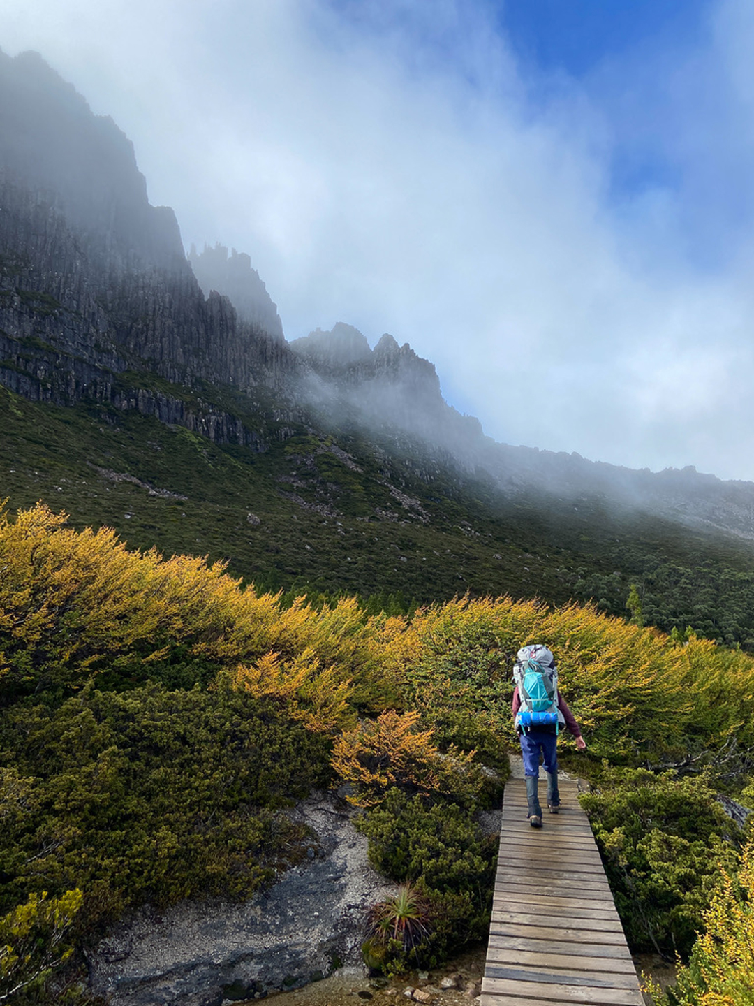
Tuesday was, as predicted, cloudy, but it wasn’t raining. I drove my dog to Hobart, gave her a walk, had lunch and then continued on to the South West. I was carrying a tripod and three days’ worth of food and gear, just in case it was so lovely that I wanted two sunsets up there. This made my pack rather heavy, so I was thrilled to only take 3 hrs 15 to be breasting the top of the climb.

Dark clouds brought out the colours

Bam. The wind punched me in the face. Hey; this wasn’t predicted! The clouds got darker. The wind was gale force up there so I dumped my pack and spent an hour searching for the perfect spot, which had shelter from the blast and a view. It didn’t exist. In fact, I couldn’t find anything particularly tolerable, so chose a spot that had access to water and a tiny bit of shelter by being in a bit of a hollow. Anyway, as there was no view to be had, that didn’t matter any more. So much for the sunset and astro photography.

Mt Sarah Jane from “behind”

I tried to pitch the tent, but the wind kept ripping out the parts I had attempted to secure. I finally got it up, tightened the guys and crawled in to get out of the battering. It was such a relief. I wondered if I was going to get a match lit to cook with, but in between gusts I grabbed my chance. Whew. I was hungry.

A pretty tarn along the way

That night I did not get much sleep. The gusts were loud and destructive. They ripped a peg out so my tent started flapping badly. I went out to re-place it, and added my snow pegs that I’d also brought up for extra stability and anchorage. I started making plans for what I would do should the tent blow down. I know I am not capable of repairing a tent in a gale without help. Plan B was to abandon the collapsed, bucking tent and begin back down the mountain by torchlight, leaving everything else behind. I also know from experience that you can’t find anything if the wind collapses your tent, as each gust just throws everything around. So, I donned what I would need to wear if escaping down the mountain. I even wore my torch to bed so I could find it with no searching.

I love her pointy backside

The gusts became less damaging at about 2 a.m., and I was able to get in a few hours sleep before waking at first light, which had very little light to offer. I could not even see my mountain, the mist was so thick and the clouds so grey. Where was this perfect sunshine I had been offered? The wind was still uninvitingly strong. Time to doze some more. At 7 a.m., I decided I might as well eat breakfast, but I was not going out in that. It started raining. I ate. By 8 a.m, I decided I might as well get out and do what I had come to do. The day was not in any hurry to be nice to me.

More love

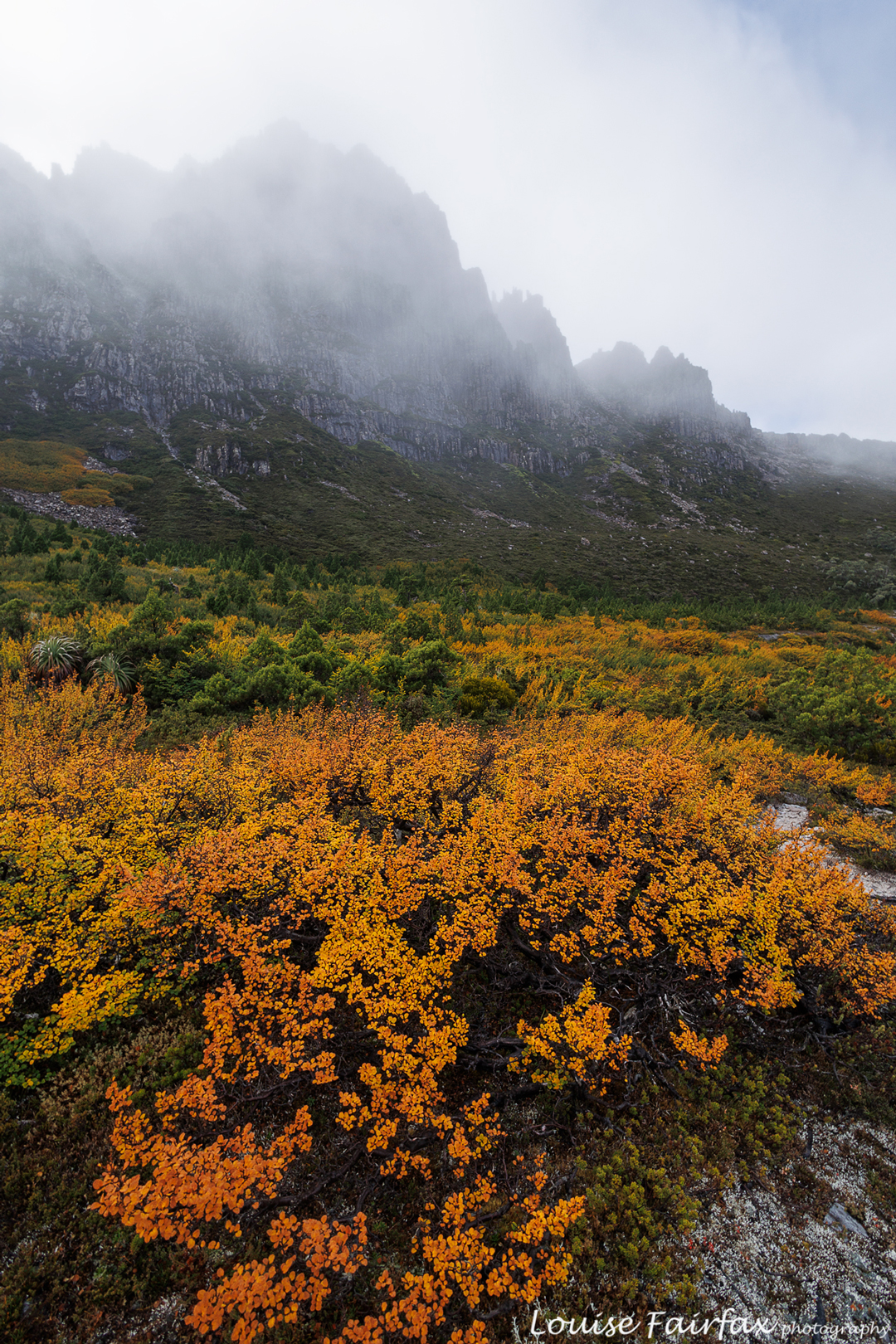
So, off I set into the wind and clouds. Some photo this would be. It was hard to even hold the camera steady. Lucky I had my tripod. The light did make the colours very beautiful, and I got used to the wind. Although this is my third time up there, this is the first time I have had the liberty to properly gaze at Sarah Jane. She is actually very beautiful. When I climbed her in 2015, I neither saw her nor the view. When I passed by in 2016, my focus was on our goal of Lots Wife. This time I gave her the attention she deserves.

Angel Falls where I popped out, nice and close, but I was too scared to look over the edge in case the wind gusted. I sat down to take this photo, keeping myself very low.

I had all day and was in no hurry. I just ambled along, enjoying myself now I was getting used to the wind and the gusts were not so bad. Navigation to my goal was not challenging. I popped out of the scrub just above the spout. The spot does not give a brilliant view of the whole waterfall, however, and I could see where I needed to be to get the angle I wanted. It was maybe 80 metres away.
I took over half an hour to reach this spot, as the slope is severe and the penalty for slipping over the edge, infinite. The bush was excessively thick. I couldn’t even see where the edge was and was not in a mood for experimenting. I have seen people fall many metres by taking an extra step that they thought was onto ground but it was just greenery that looked like ground and gave way beneath them. I would fall a great deal more than “many metres”.

The whole falls seen by climbing a tree.

So, what did I do? How did I get a view, especially considering my big height disadvantage? I climbed a tree, of course. The photos you see are taken by me up a tree, hanging on by one hand and attempting to hold the camera still in the continuing gale with the other.  I was many metres above the ground, so my tripod was to no avail.
Back at the tent, I had an early lunch, still waiting for the day to improve. I packed up, still waiting. There was no point in staying an extra night, and, besides, the wind meant the next night might be just as sleepless as the previous, so down I went, back to the car, real food, my dog and my Hobart family. Gussy and I had a lovely night reading together and doing wordle and square word. It was so soothing to have warmth, shelter and loving company. I seemed to eat rather a lot of ice cream.
Please note: The bucking tent I have experienced is not my Hilleberg. It was an Exped Extrem. I ordered my Hilleberg the next day, but the memory of that bucking tent will never leave me.

Hidden Falls Orford

Hidden Falls Orford

Tasmania boasts three Hidden Falls, but the Hidden Falls at Orford are the first and the real Hidden Falls, being on the map, for a start. Today I was lucky enough to visit the Hidden Falls Orford for the first time, being invited to join my Waterfall Friends. It is such fun to visit waterfalls with people who not only love being there, but who understand when you want to get out your tripod and camera because this scene looks worth that kind of effort.

Hidden Falls Orford

Of course we got out the gear for the main ones, Hidden Falls, but we also paid Drizzle Falls , seen on the way home, the courtesy of a proper shot. A different small waterfall on a tributary of Griffiths Rivulet east of the main Griffiths Rivulet that harbours the Falls of our mission, was only permitted a few handheld shots, so I guess it can consider itself the ugly duckling of the day. I was going to let you judge for yourselves, but really, this blog is about beauty, and I decided that Ugly Duckling Falls, as I am going to call them here, are just not worthy of an appearance. This is probably my fault for not getting out the tripod, but that’s just how it goes. It’s a harsh world.

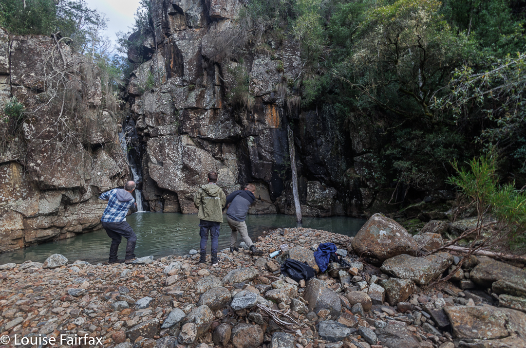
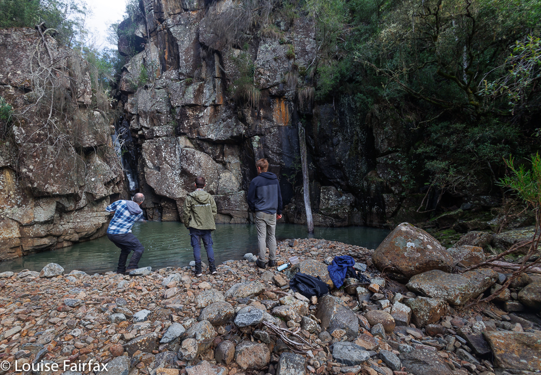
Adrian and Caedence show their style skipping stones. Rob watches on. Caedence is an ace cricketer, so he is no doubt using some of that technique here.

For our directions and basic information, we consulted the blog of Denis at
https://hikinginsetasmania.blogspot.com/2014/06/hidden-falls.html
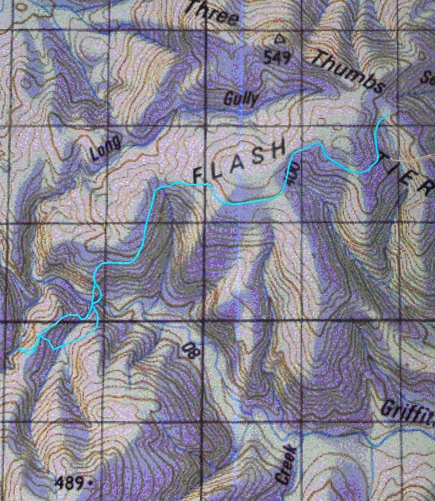
and liked his advice, so used his route for our way out, parking just short of Three Thumbs Lookout, and then following an old road, made all the nicer for the fact that no vehicle could get to use it. It was, however, a road, and roads will be roads, even if no cars can come along. It was wide and stony, so I was very glad when the time came to leave it and start bushbashing. On the trip to Orford, there had been lots of beautiful frost everywhere, but it seems that this translated to a large amount of dew in this bush, as I got pretty saturated leading us down, and was very grateful when Adrian took over to lead us up the other side. I was a tiny bit miffed that his section was open and dry, but, well, such is life, and I was not so miffed that I couldn’t enjoy walking through such open forest.

Boys being boys

The saddle and ridge on top reminded me of fun orienteering days, and we followed the open ridge along to the left a bit before dropping steeply to our goal. The best views of the falls involved our crossing the creek, but I found a spot that didn’t involve my getting wet, so all was good.  I don’t like wet shoes when I still have over 6.5 kms left to go.

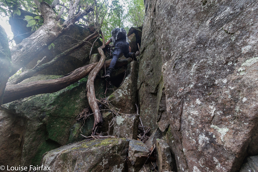
It was quite steep in places. Rob climbing

After the obligatory photos from a few different perspectives were taken, and lunch enjoyed, the guys got into stone skimming. Some great shots skipped right up the first level of the waterfall. I smiled to myself about bushwalking with boys: Gussy threw snow on Tuesday; these guys were throwing stones today. I joined in, but not with the same success. At least my stones bounced, but not as well or convincingly as theirs.

Rob climbing

Adrian mooted the idea of a different route back, and we all approved. A circle is much more fun than out and back, so we followed the ridge once we’d climbed it, and rejoined the Griffiths Rivulet via a tributary to the east, which kindly offered us two more waterfalls, albeit small ones. After that came a long slog up the steep hill. Either the bush had dried out a bit as the day progressed, or Adrian soaked up all the moisture ahead of me, but I didn’t seem to get wet at all on the rebound.

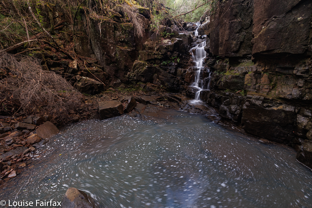
Drizzle Falls. They may be smaller, but I found them to be the most picturesque falls of the day. They are not on the map.

After we levelled out at the top, we expected a long flat road walk to the car. That is what we appeared to have had on the way out. To our surprise, someone had lifted the ground while we were at the falls, and we just kept having to go up … and up … and up, seemingly forever, until about 50 metres before the car, when we were given a crumb of easy downhill.

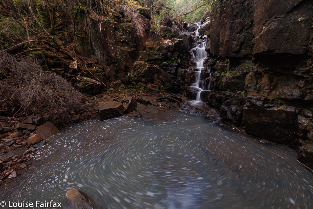
Drizzle Falls with a 5 second exposure to play around with the fun currents of water. I wonder which you prefer.

Stats: Vertical 645 ms climb; horizontal 13.18 kms, which yields 19.63 km equivalents. This involved 1 hr 43 moving for the 6.68 kms out, and 1 hr 49 moving for the steeper but shorter 6.5 kms return. When you include stops for photos, clothing changes, etc, we spent 2 hrs 10 on the outward journey, and 2 hrs 35 on the homeward one.

HIdden Falls route