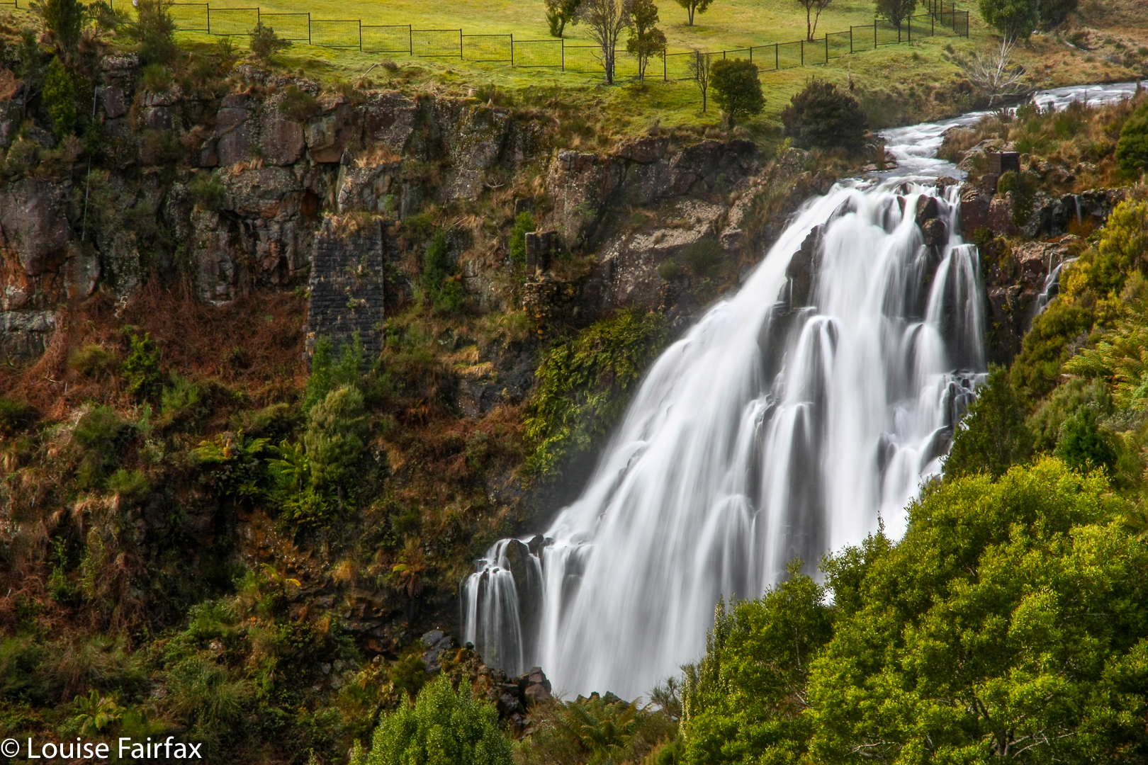
Minnow Falls April 2014.
Some time ago, I used to watch a TV show with my daughters called It’s a Knockout, in which the contestants had to race up rope ladders, negotiate tricky objects, and slither through tunnels. I always wanted to have a go, thinking it looked like great fun.
This week at Minnow Falls, I got to do a similar obstacle course, only in the lush green of natural rainforest rather than the sterile environment of a TV studio. And it was, as I knew it would be, enormous fun.
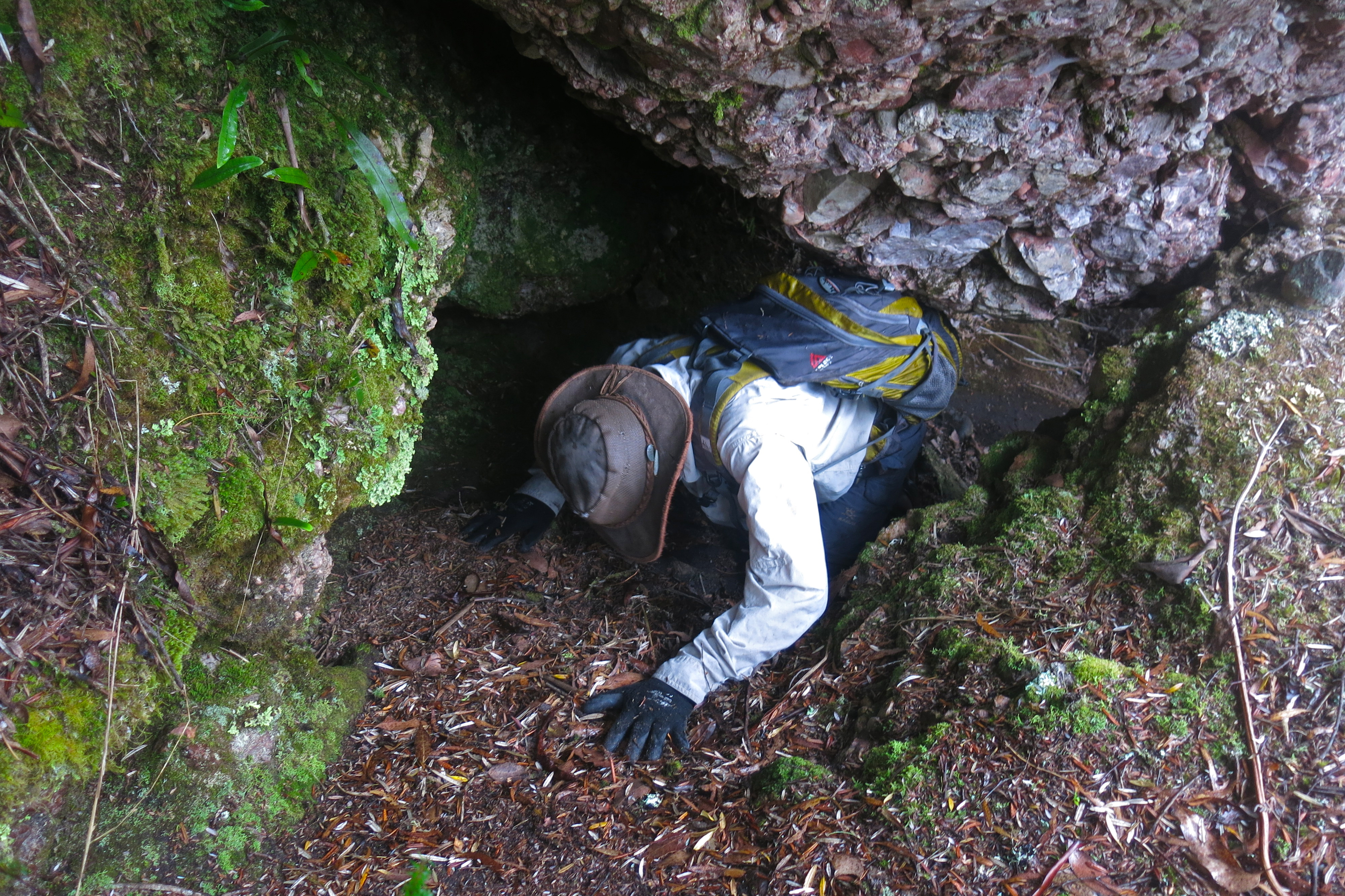
Rod emerging from a small cave
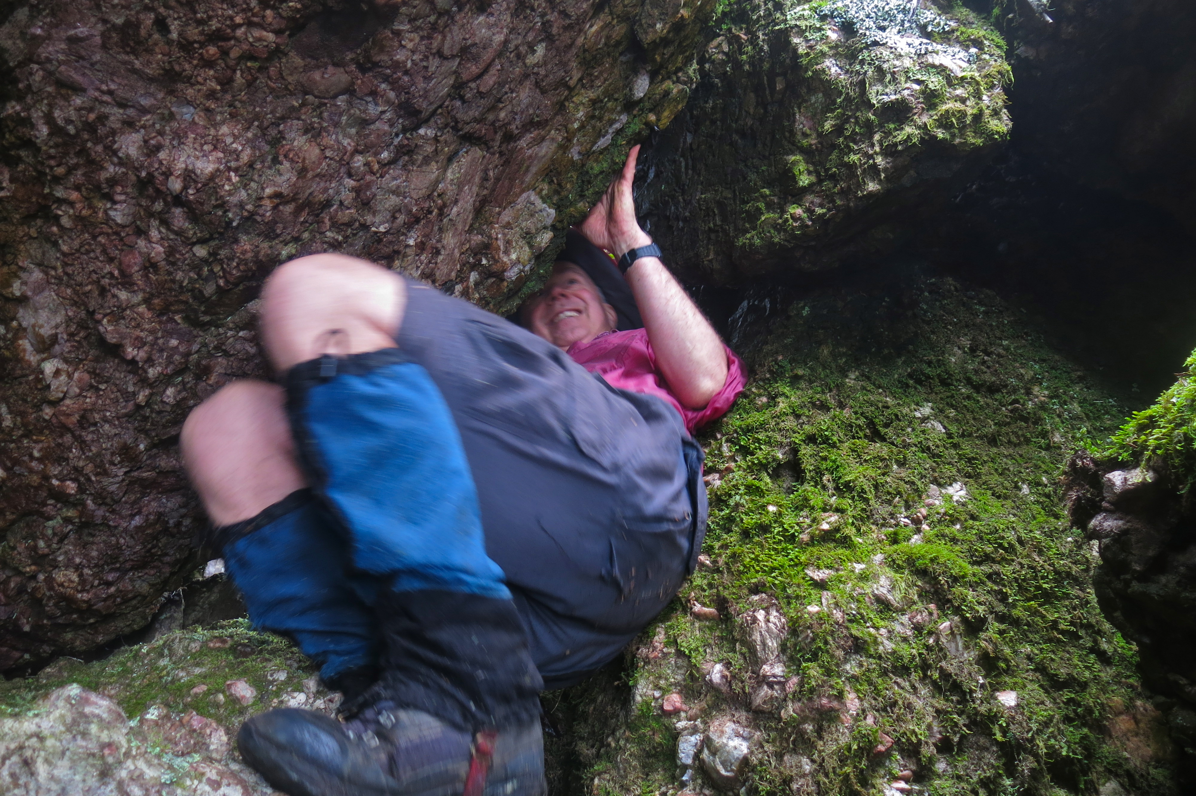
Phil squeezing himself up through a hole in the rocks. This was not a trail for the overweight.
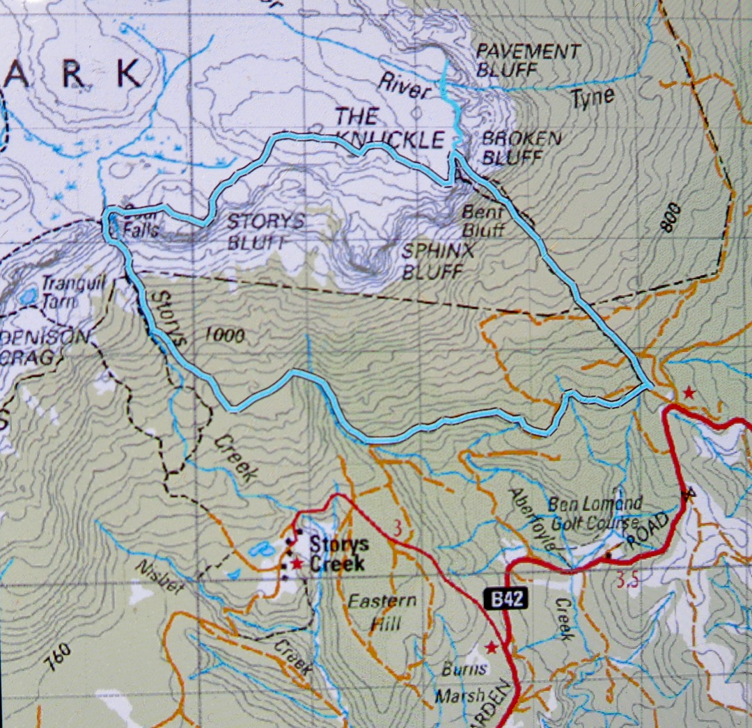
The location of this natural amusement-park – Minnow Falls – is beyond Mole Creek (see end for more detail). There was formerly a track up to the falls and back, but thanks to Bill Shepherd, this has been extended to become a complete circuit, in which, after an initial climb on an old road cum track, one heads into the bush following Bill’s (mostly) pink markers, ever climbing.
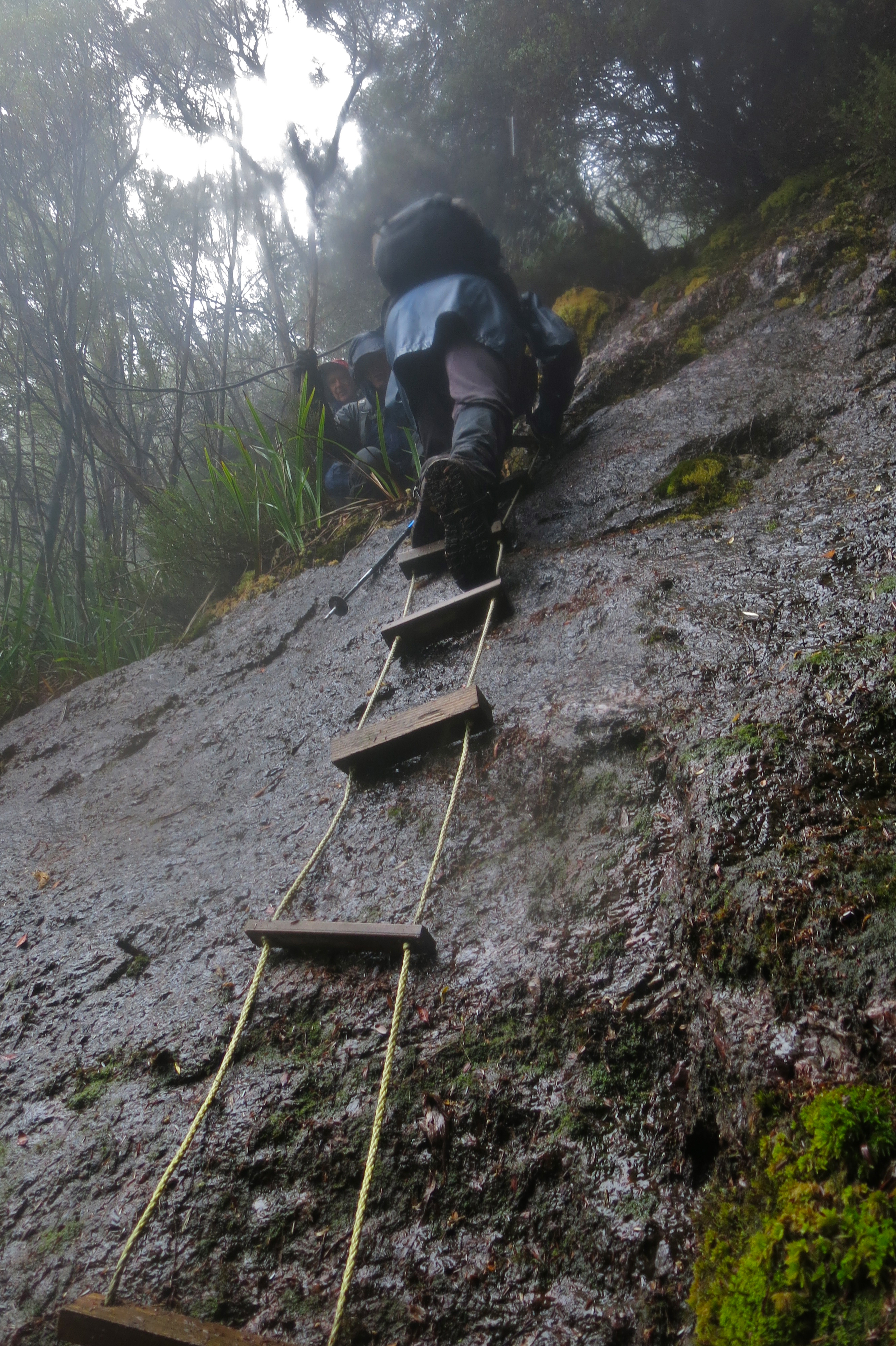
David descends one of the rope ladders
The TASTrack comments about the old route seem appropriate at this stage: “This steep, rough-cut track climbs the eastern side of Mt Roland, [gaining] 545 ms in 3.5 kms.” In fact, our route climbed even more: 600ms according to my gps.
Descending a roped section
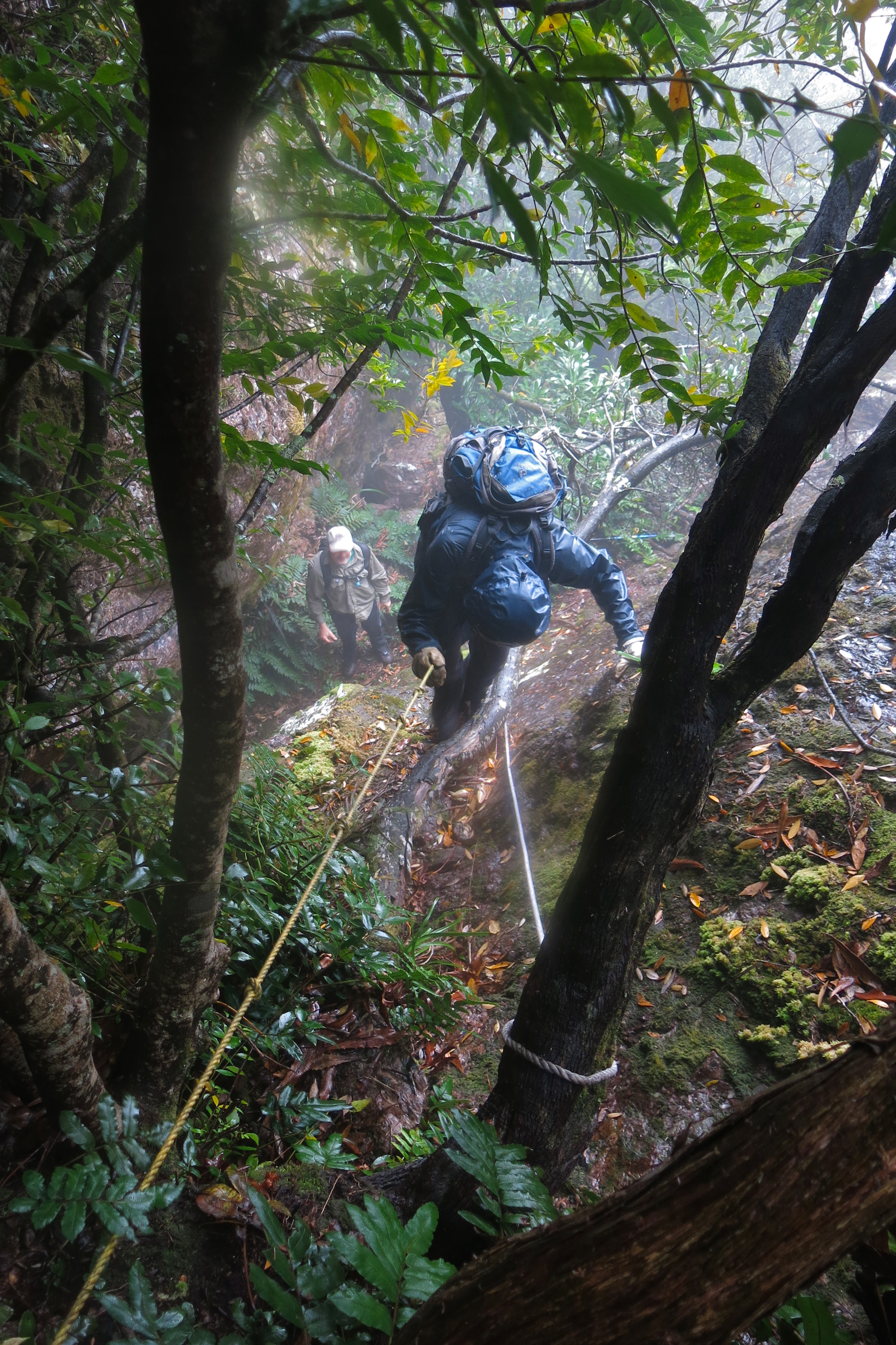
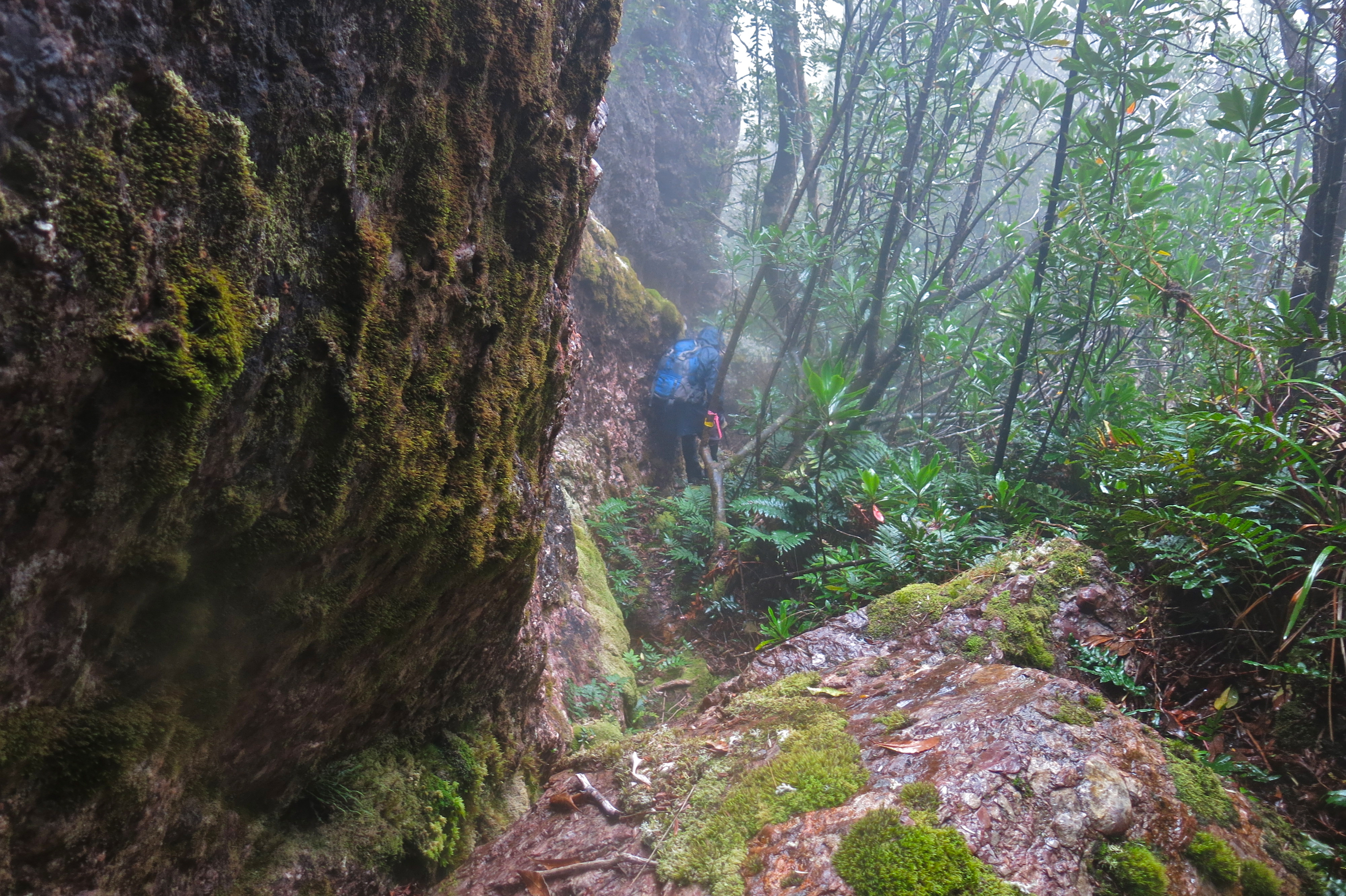
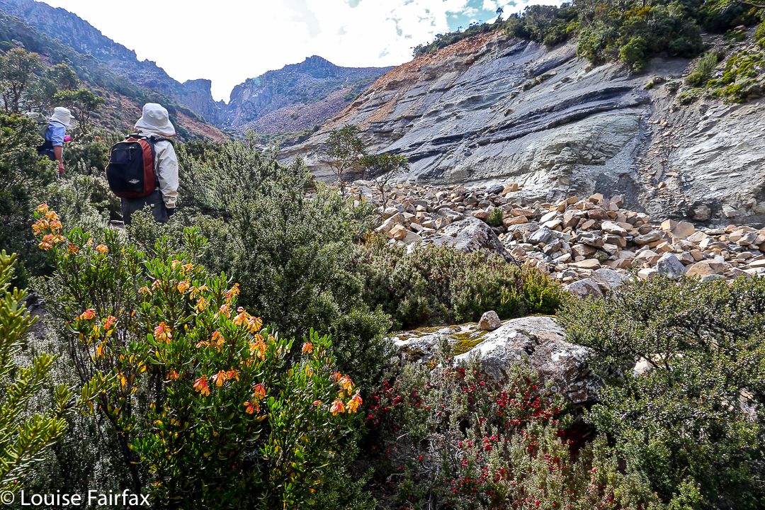
At times our noses nearly touched the slope we were ascending. It was a great all-body work out, as arms and hands pulled on trees to haul ourselves upwards, or as we oomphed our way up rock ledges, pulling on tiny handholds to gain the next bit of height. Occasionally we found metal ladders, or rope for hauling on to avoid sliding backwards when there were no footholds possible. Sometimes we had to squeeze through narrow holes between huge boulders, or proceed along caves and rock tunnels.
On the way back down, there were a couple of rope ladders hanging from trees to keep us alive as we descended slimy rock slabs. I had a ball. In order to hoist ourselves upwards or to stay high between two walls of rock, we had to push our packs up first so we could wedge our backs against the rocks for pressure.
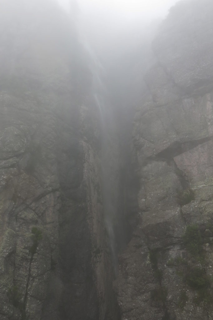
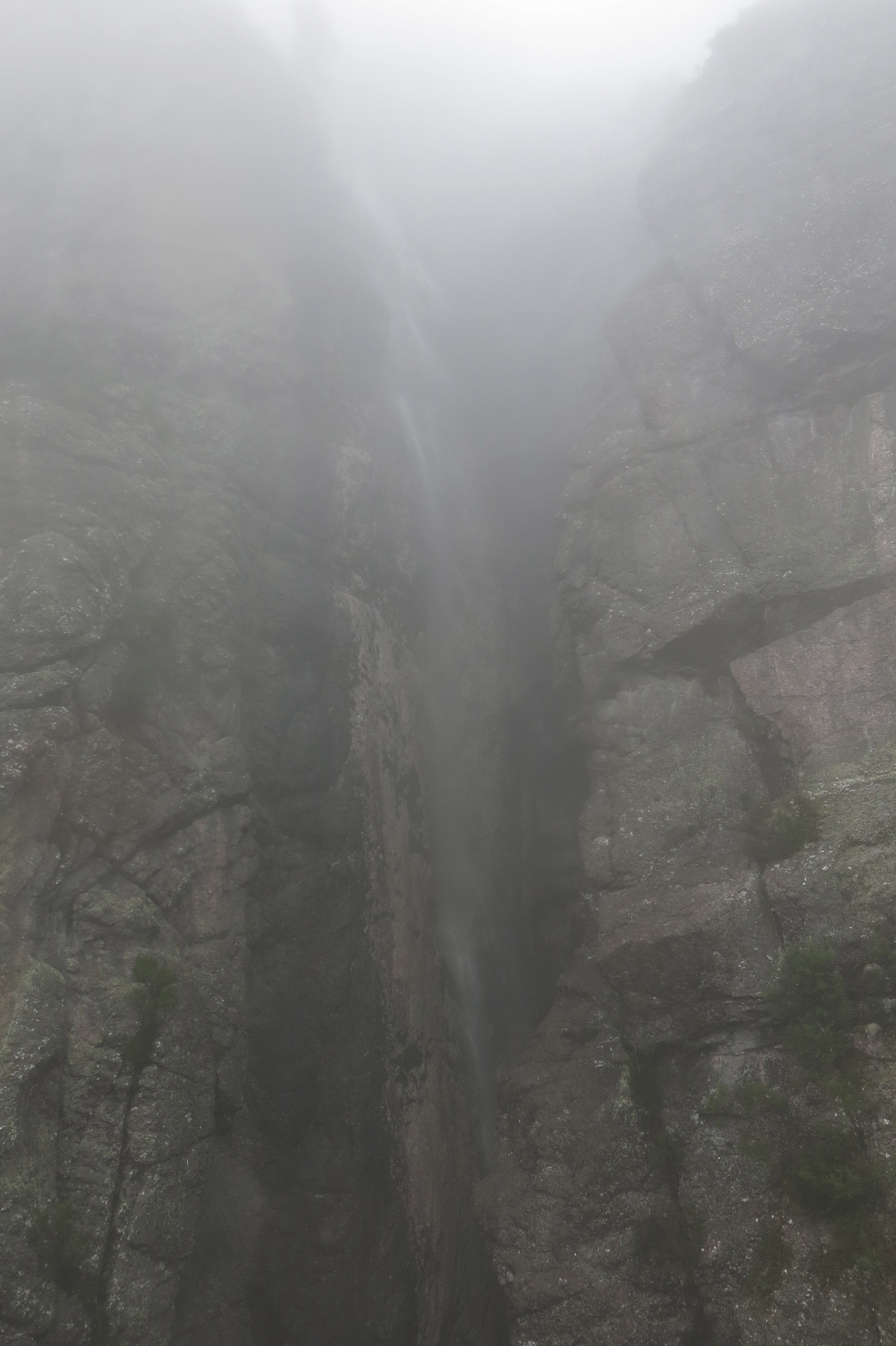
Minnow Falls. This was the best view I could get. Perhaps I need to come back to see the real thing under better conditions.
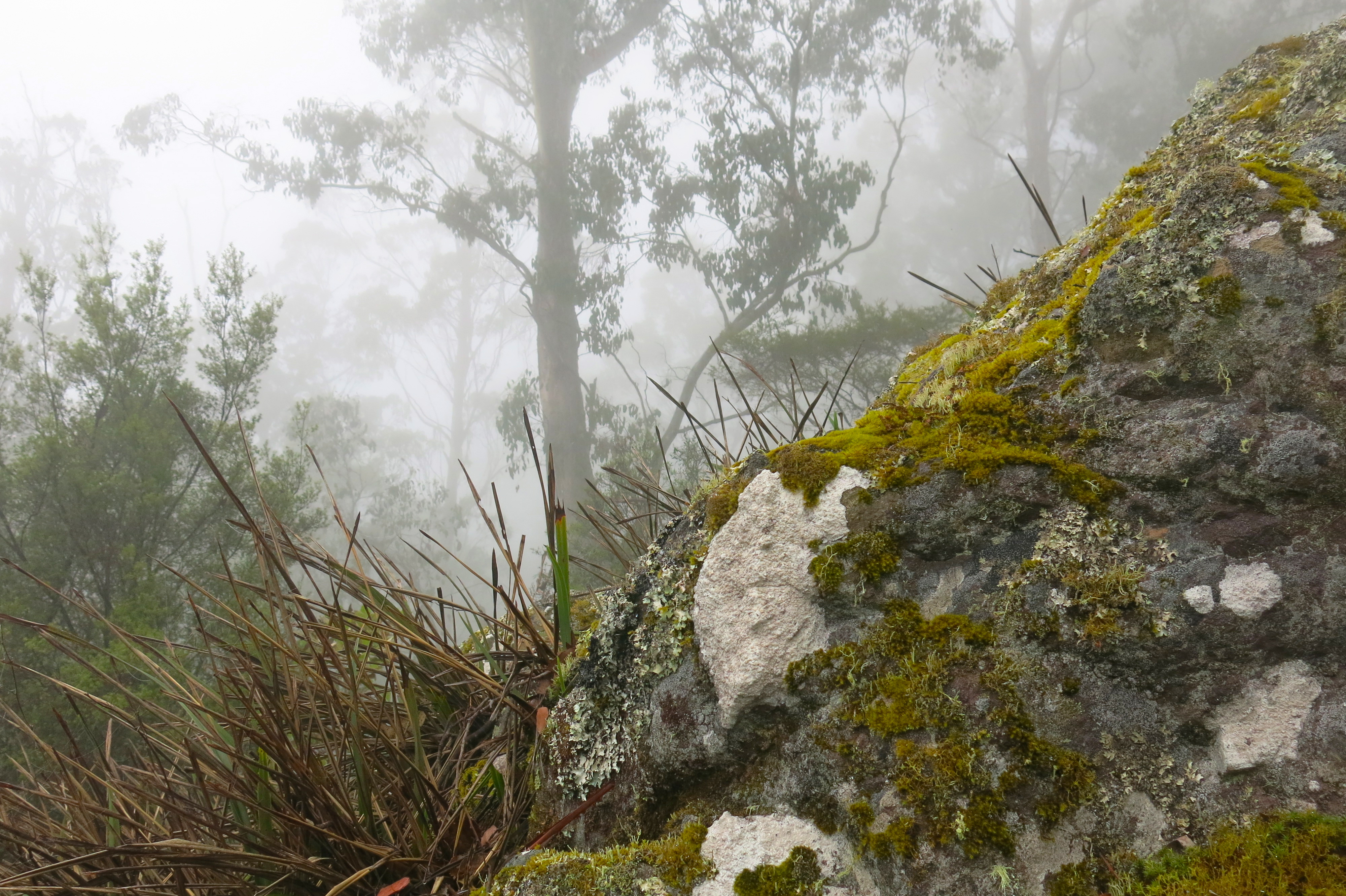
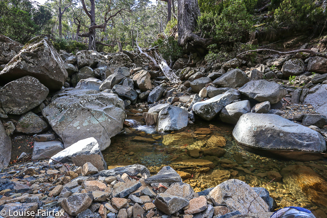
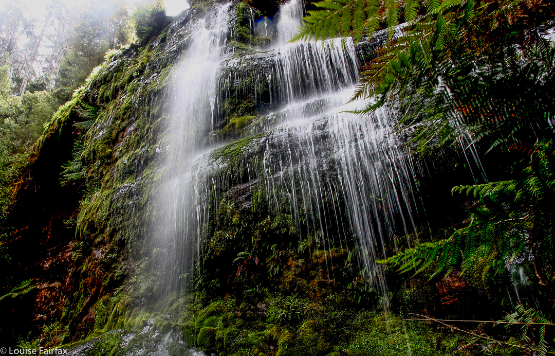
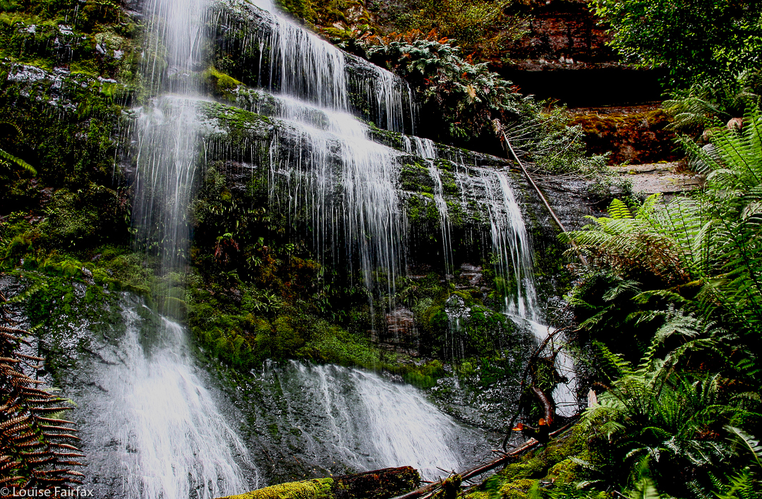
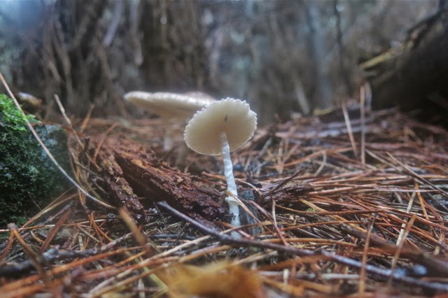
Not only was the physical side of the adventure engaging, but the forest itself was magnificent. Recent rains had been lapped up by the mossy banks and ledges so that rocks and trees were coated in a lush covering of bright green. The mountain laurels shone as in moonlight. Fungi were also responding to the recent rains and cooler weather, and I saw many varieties, both large and delicate (Russula persanguinea, several camarophyllopsis yellow and more). Invertebrate life was also out and about, with the advantage that I saw many “land planarians” (bright yellow members of the flatworm class [Turbellaria]). The negative aspect of this response to moisture was that the leeches were also present, and hungry after a long, dry summer.
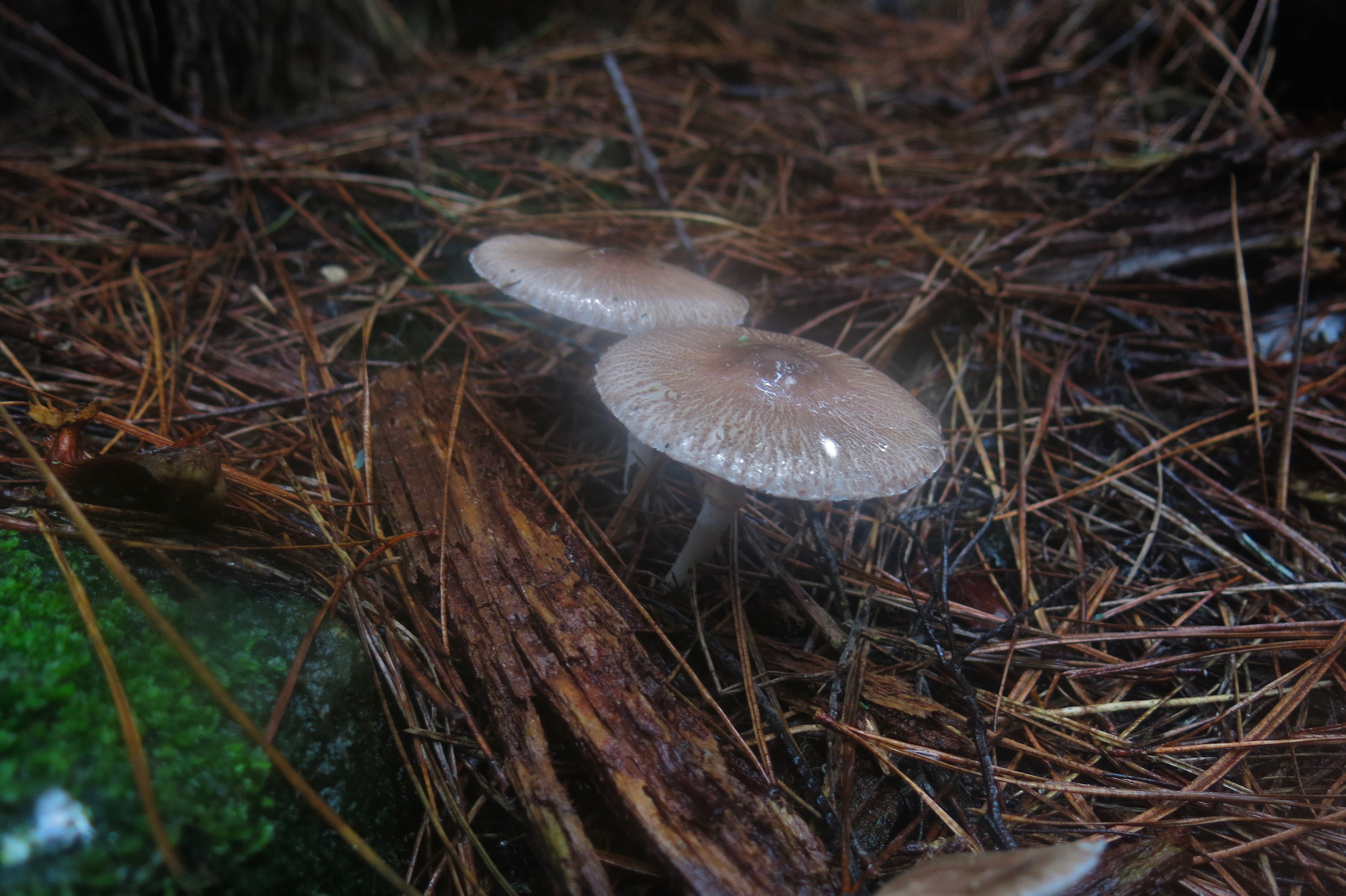
Leucoagaricus or Lepiota sp. (Thanks Dr Genevieve Gates).
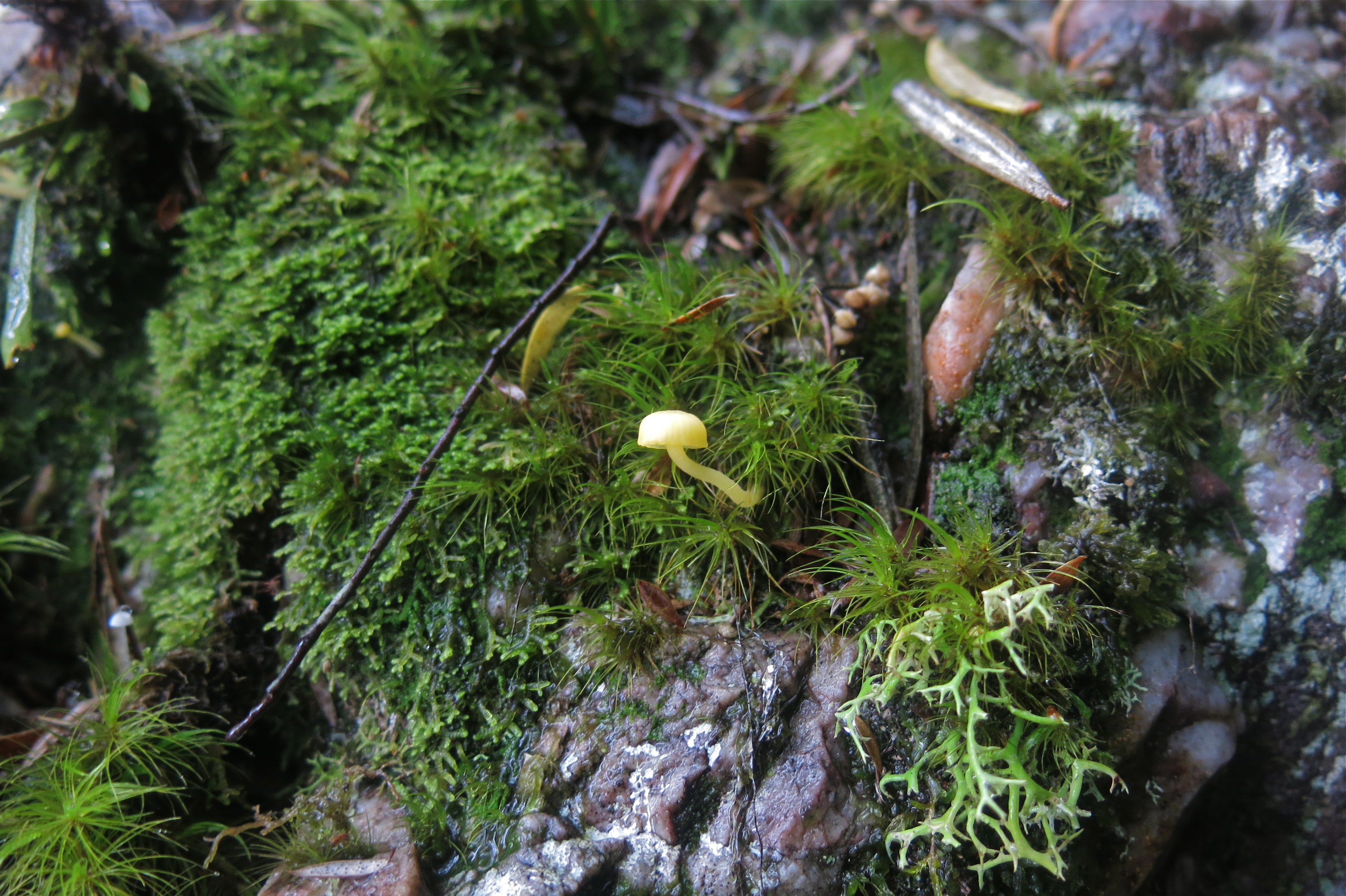
Camarophyllopsis yellow
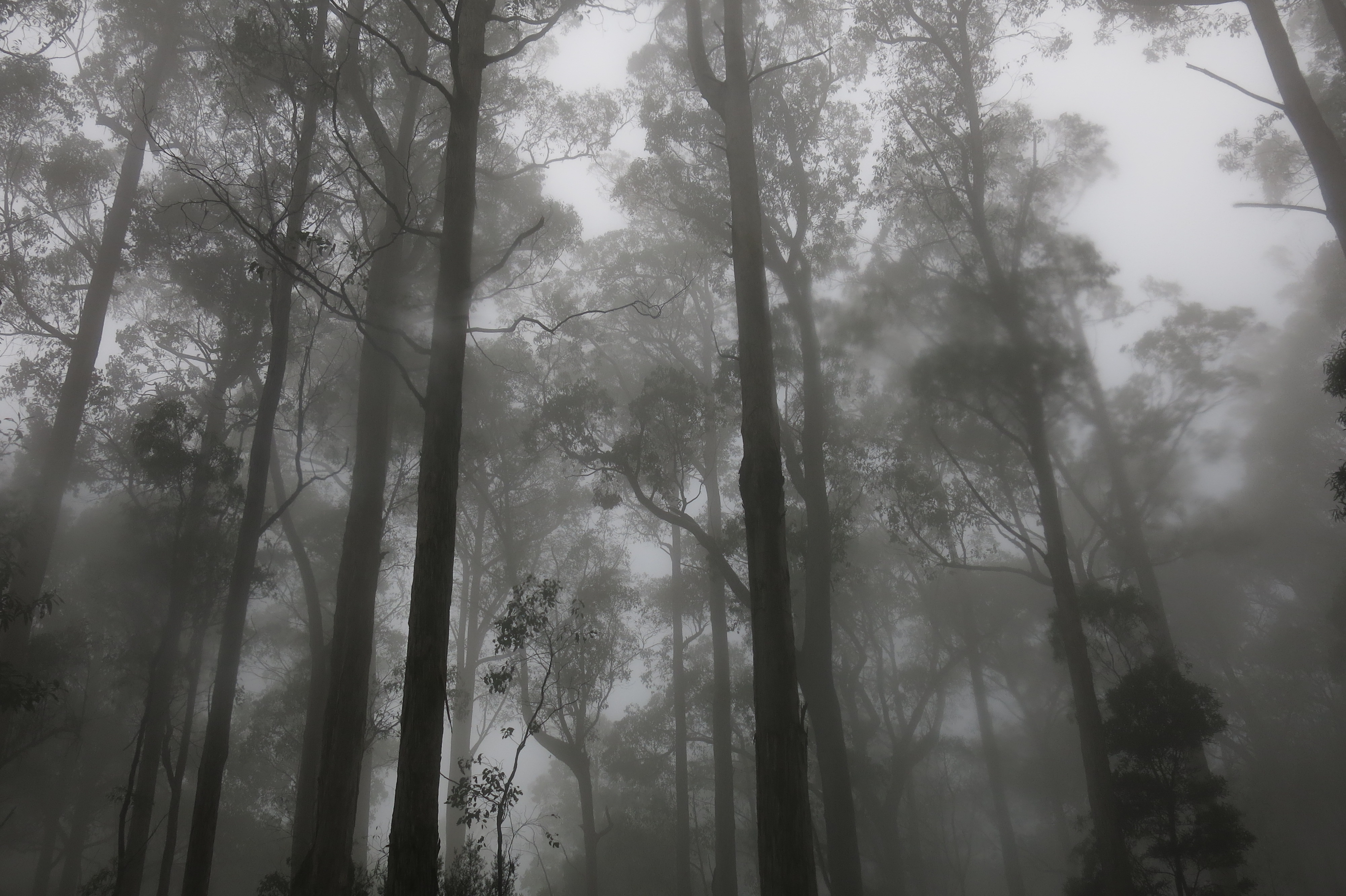
Atmospheric forest at the end

If you look at the gps route above, it looks as if I never made it back to the car, as you will see a small gap in the blue track bottom right. I left it like that intentionally so that you could see exactly where we parked. A continuous circle would have confused that issue. (We did the route clockwise). I would not drive to where we parked without a 4WD (just abandon car earlier and walk a bit more). I would also, of course, not undertake a pad like this without being a confident navigator, as pink ribbons can dump you in the middle of nowhere if you don’t know exactly what you’re doing.
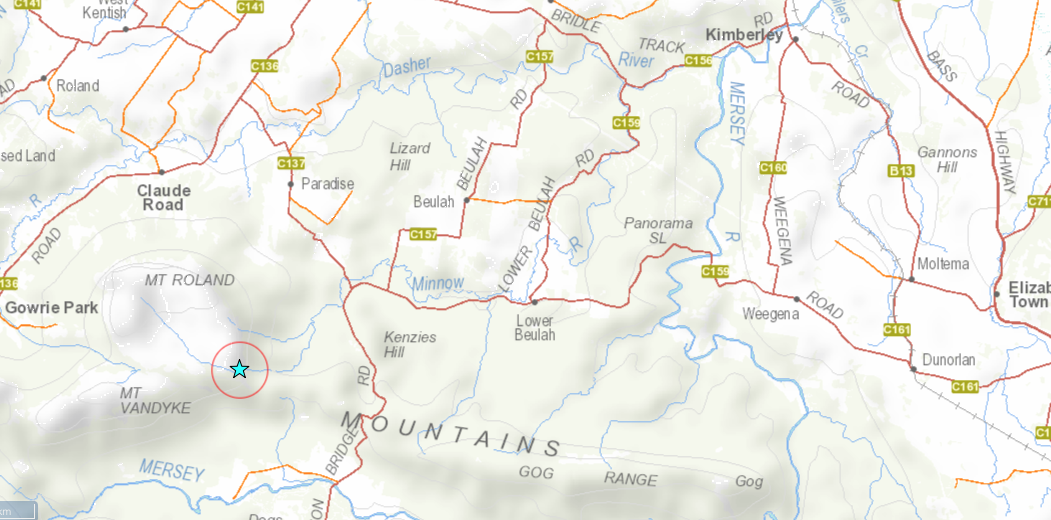
So. How do you get to the start? If coming from Launceston, go through Mole Creek and head up towards Paradise. If coming from the north, turn off the Claude Rd (C138) onto the Paradise Rd (C137). Follow until its intersection with a road that heads east (L) to Lower Beulah. You go south continuing on the C137. Turn right after a short distance towards Paradise Plantation. After a river, turn first lefthand drive very steeply up Rising Road. This is the one that I would not go the whole way up if driving myself. At the top, the forest track and tapes begin. Good luck.
