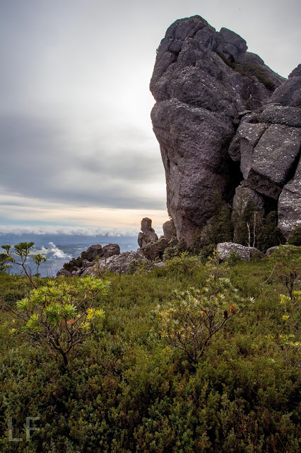
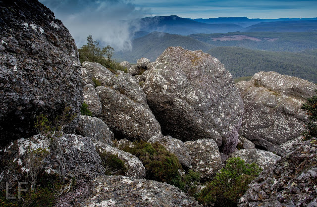
The view to the left before you leave the track to embark on the rocky climb
In terms of having intricate directions in the final stage of the climb, Mt Claude is one of the trickier mountains, so instead of my usual sort of entry, I am going to try to provide extra details in words and pictures to augment the already excellent instructions we had from www.bushwalk.com, the bushwalking forum. Despite their helpfulness, we did have two “detours” where we managed to stray, so hopefully the pictures and text below will help others who want to use this much safer route of climbing Mt Claude. I came across it last week and thought it looked fun. Angela agreed, so off we set.
Follow the main path (that begins on Olivers Road at the Lookout, and that, after you leave it, continues on the northern side of Claude, heading for Van Dyke) for about three kilometres, turning right and slightly down (ESE) where an arrow tells you to, rather than heading for the tower. We had a diversion to the tower due to not quite understanding the instructions. I’m not sad that I had the extra climb. It was quite interesting, but the excursion gave us a huge warning about how very slippery the conglomerate was today. I had already felt how greasy the rock was, but still got a horrid shock when I saw Angela’s foot come unexpectedly away from her in the descent back to the track, and she began gathering momentum as she fell. I watched in horror as her first attempt to grab something to arrest her fall failed. Luckily the second obstacle worked as I did not like the speed with which she was dropping. Of course, all this occupied maybe a single second, but it felt like an eternity as audience.
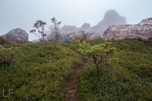
Back on the track we went to the south of the tower clump, and along to the flat saddle before the actual summit block. Below is a picture of where, in that saddle, you leave the path that continues more NE to drop down below the northern side of the impressive summit boulders. This little pad here goes to a slot that you climb up. There’s a cairn at the top, and the cairns were generally close enough to follow.
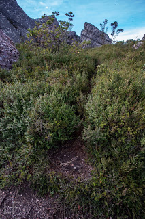
This is the pad you follow to exit the main track
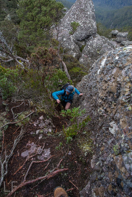
Below you can see Angela climbing a slope, because I called her up. However once we were both up and consulted the notes from bushwalk.com she’d copied into her phone, we saw that we weren’t supposed to be lured by this steep, narrow path, so went back down. It was quite a nice little climb – not slippery like the rest of the day. However, if you get this view, you know you’re wrong.
Along and up we went, consulting the forum notes quite heavily now. They warned us not to proceed along the likely looking trail, pictured below, tempting as it is.
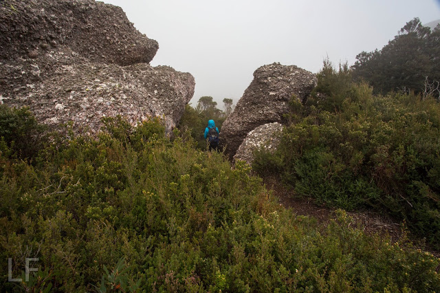
Instead, the notes say, head for the sky, so that is what you can see Angela doing in this next image.
The notes then say that on the right, just a bit below where Angela is in the picture above, there is a turning to the right. Take it, and it leads to the entrance of the infamous cave. We were both a little apprehensive about how this rope section was going to be in such slippery conditions. Angela was worried about her knee that she’d hurt in the fall, and I wondered if my upper body could drag me up, if that was required, as I had had an operation the previous week and even running still hurts a bit, so my torso’s strength is compromised. Oh well, there was one way to find out.
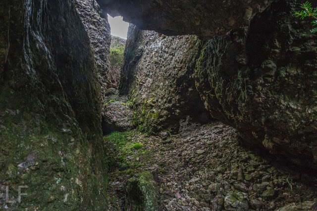
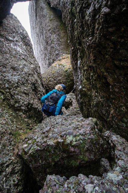
When we looked into the cave, it was dark and foreboding. At first our eyes couldn’t make out anything at all, but gradually the rope that we’d been promised could be discerned. I could see that it had knots and loops in it, so that would help. The entrance was very narrow, and we didn’t have a clue what lay ahead, so both decided to leave our packs behind – a very sad decision, as that meant no camera, and no food on top. The entrance was so narrow that we wondered, not for the first time that day, how large people managed to use this route. I took the rope, put one foot in the loop, and set out, feeling in the dark for the next loop. It was too much trouble to get my foot in, and my upper body was coping, so I used my knees against the rocks – they had better traction than my boots – and hauled myself up. The series of knots gave good grabbing points, and my knees found indentations in the rock that held me. It worked, although that method hurt Angela’s injured joint. Once up, the summit was very close, and we happily touched it. Thick mist was now rolling in, rising to engulf us. We wanted to see to try to find our way down this slippery dip of a mountain, so set out pretty quickly. I was starting to feel nauseous with anxiety at choosing a route blind. I also didn’t know how it would be lowering ourselves on the rope when the rock offered absolutely no grip at all. It was a long way to fall. However, on the descent, I found I could decelerate by leaning my back into the wall above, creating a bit of pressure to combat gravity.
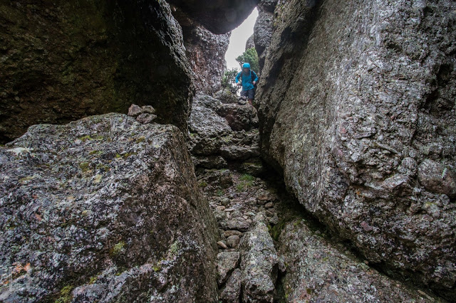
Hoorah, soon we were down and gathering packs again (Angela is buttoning hers up in the picture above). I wanted to get below the rock section before stopping for our snack so as to ensure visibility. It was with enormous relief that we sat with the view below, still rocky enough for beauty, but by this stage, all the potentially tricky route finding had been accomplished, and, although we were cold, we made time to eat. I needed to eat to relax more than to fill my stomach, I think.
Snack view, down low and out of danger of further falls
In front you see the pad that we followed to do the climb. Angela is standing at the pad-path intersection waiting for her friend who is now taking rather a lot of photos.
Goodbye pretty boulders. They really are wonderful if you’re not climbing up them when they’re moist. Down we climbed, both looking forward to the food we were anticipating at the Raspberry Farm, which is fast becoming a traditional calorie replacement station.
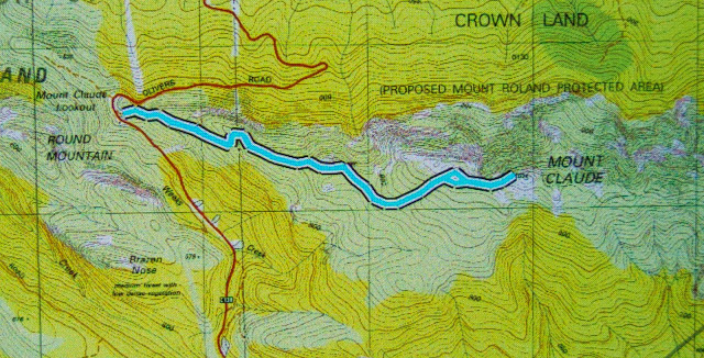
I’m not happy with the clarity of this. I’ll add a map of just the last section in the morning. Hopefully that will give better detail.

