Mt Dundas June 2015
 For some reason – well, actually, for a very good reason – I was a bit scared of Mt Dundas. As you may have gathered from photos, ice and snow dominate our scenery at present. Fine. Beautiful. The trouble is, this mountain begins with a river crossing, and we were under the impression the water would be knee deep at best (thigh at worst) and rushing. I would be climbing in snow with sodden feet, a sure recipe for personal misery and possible hypothermia. I was so anxious I even had nightmares as darkness morphed to dawn. Gulp. Here comes day: my moment of testing.
Down we went to inspect the infamous creek, scene of my sure doom. Hey. There was a branch I could clutch and swing from – Tarzan’s wife – over the slippery, slightly submerged rocks. I didn’t need to get my feet wet.
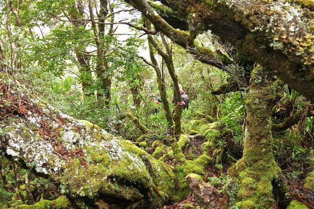
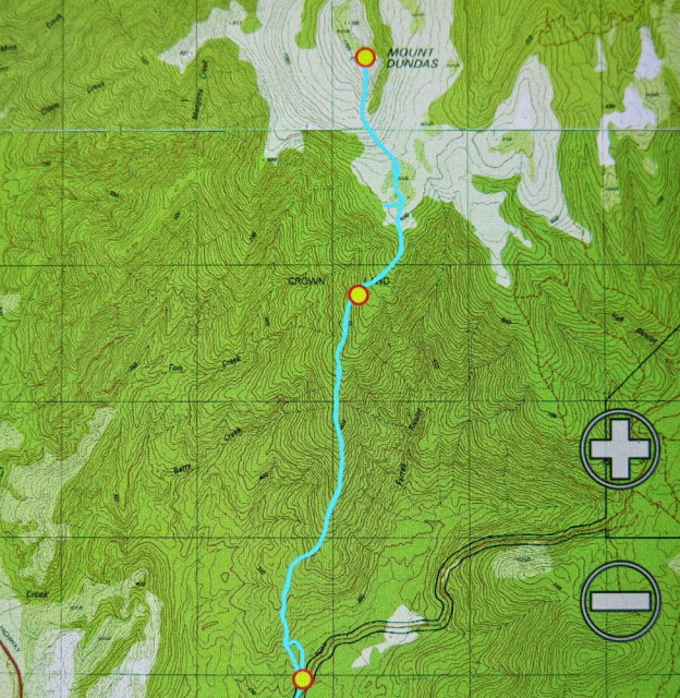
I don’t know why I had imagined that Dundas wouldn’t have rainforest at its base like almost every other mountain in Tasmania. Perhaps because nearby Tyndall is not impressive in this aspect. All I did know was that there was an old road one followed for a while after crossing the creek, and that it was “very overgrown”. Well, yes, it was … a bit … but not so much that it was a problem. Up we climbed through glorious, lush, mossy forest to the point where “road” became pad, replete with tape in several hues. My favourite section was the stand of King Billy pines that rendered the path a carpet of textured needles in various shades of brown. My second favourite was when this was replaced by a different study in brown and ochres made by fallen fagus leaves.
Once we mounted the top of this ridge, the land flattened out for a section of tiny wombat pads through low lying scrub, one pad of which was used by humans. The final climb was now visible, but the summit still seemed a long way off – both in terms of vertical and horizontal distance. It seemed to me that it was too far away to be achievable on this short winter’s day. I pessimistically predicted failure to my two companions who betted on the contrary that we’d be there by half past one. I owe Kent a cake at Zeps, I am very pleased to say. I like placing bets that I hope to lose.
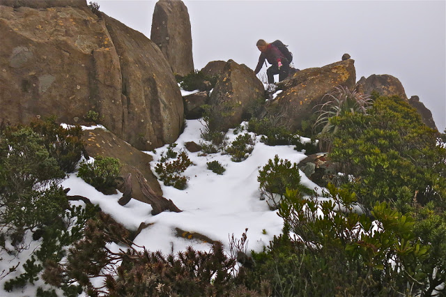
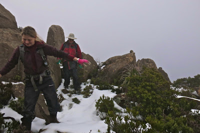
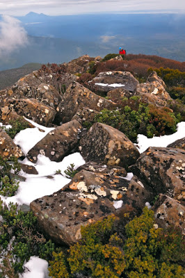
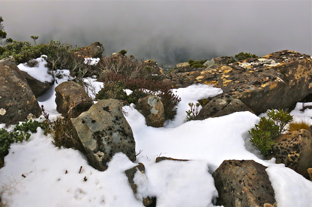
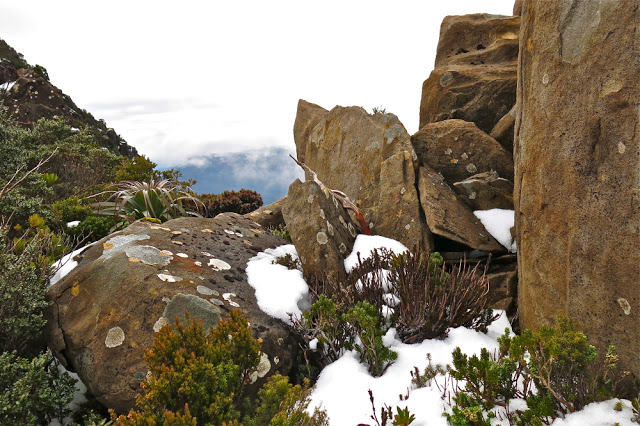
Not at all deterred by the possibility of having to buy cake, on we continued, taking especial care in the snow. I happened to be the one making the footprints in the end game, and needed to be particularly careful: it’s easy to assume there’s a rock under the snow and to fall and hurt yourself if there isn’t. Aware as I was of the dangers in this section, I was simultaneously aware of how grateful I was to Rupert for putting on the walk, and to HWC for enabling me to connect with others who are crazy enough to find climbing a mountain in mist and snow to be a fun idea. I know we are not the norm.
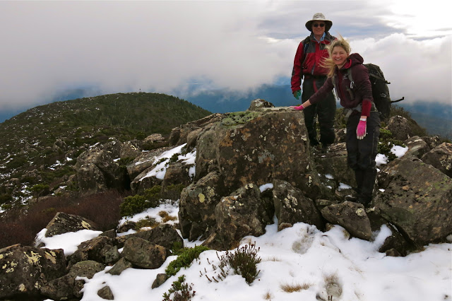
I was thrilled by the thwarting of my own pessimism when at last out of the gloom a mound appeared that was definitely the summit. Several false promising ones had made their appearance as we climbed, but this one had no shapes beyond. At last there really was nothing higher to climb, and Kent and Monica had even been a half hour too pessimistic in their own estimation of when we’d get there. Every member of the party had reached the top before one, and in fact, we had descended a bit and finished (a very quick) lunch by one thirty. The reason for the speed was not gluttony, but rather freezing fingers and toes that made picnicking in the snow a little less than pure delight. Moving was the best solution to the freezing problem.
Cold it may well have been, but I feel very privileged to have seen and climbed Dundas in the snow. I loved this mountain, and will return one day to admire her summer outfit and linger longer on the top.

Gidday
Can you please advise me how to get to the true peak.
I got to the lower peak 6 years ago but then couldnt find a trail amoung the boulders to get down then up to the summit.
Any advice would be appreaciated.
Cheers
Chris
Zeehan
Hi Chris. This is tricky. It’s been five years since I climbed this mountain, but I don’t remember any difficulty at all – even in the fog and snow. I just kept heading upwards, using the ridge. Eventually my gps confirmed what my body felt – that I was standing on the summit. I presume on a sunny day it would be even more obvious. However, I don’t remember there being any cairns (or track or pad) once you hit the rocks, so you just have to use your bush skills. If you are uneasy, then make sure you have a friend with you.
I just recently climbed Dundas. There is series of cairns that lead up through the boulders to the true summit
Gidday Daniel
Thanks for your reply.
Can you give any more info on those cairns?
When I crossed the button grass plain to the final stretch of trees to the start of the boulders and alpine bushes, the tape and track markings ceased. I ended up just trying to go straight over the boulders and didnt see any cairns. I couldnt see the real summit for quite some time and when I did get to see it as I got higher, I was s/w of it and there was a mini valley in between it and me. I was only maybe 50to100m below the summit but couldnt find a way to progress, fell from the boulders hurting myself and had to turn back.
I did moores pimple yesterday and used Avenza app for the first time. I saw on it that it marks a trail following a contour line n/e of the summit till you are directly east of it then a west ascent. According to the Avenza when I exited the final alpine trees at the start of the boulders there should have been a trail going n/e. I didnt see it or any cairns.
Any help would be appreciated.
By the way, how long did it take you to get up and back.
Took me 5 1/2 hours to do Moores from the Fraser Hut and it was very hard going. But I was lucky with the weather and the view was unbelievable.
I could see the Dundas peak so close and the view from up there must be even better.
Hopefully with your advice I can get there.
Cheers
Chris
Thanks Louise and Daniel
Daniel. Is it possible to get anymore info on those cairns?
Cheers
Chris