Mt Rogoona. A day walk.
Yesterday afternoon I was double checking my list of Abels so I could post it for people who want to use it (it is here in my blog – “Abels: alphabetical” – when I discovered that five Abels were missing, one of which I hadn’t climbed. As my count works backwards rather than forwards, this meant that I had climbed one less Abel than I thought I had. I either had to subtract one from my number (terrible), or go climb an Abel today to turn myself into an honest woman. Luckily my work commitments for the day had been cancelled, so I chose the latter ploy, of course.
I opted for Mt Rogoona, hoping I had enough time to fit it in. The story in Wildtiger has more hours to climb than I had available. I was also hoping to undercut the time mentioned in The Abels, but I was gambling on my route working, as I decided not to use any of the suggestions on offer in web or book, but devise my own. This freedom to choose one’s own route is part of what I love about bushwalking. I didn’t really care if my route was not the best way (as long as I got back to the car in time to get me home for dinner): it was my way, and I like exercising my independence and autonomy – as well as freedom and creativity. To me, following someone else’s purple line on a garmin screen is a denial of many aspects of walking that I love. Walking is about so much more than bagging a summit.
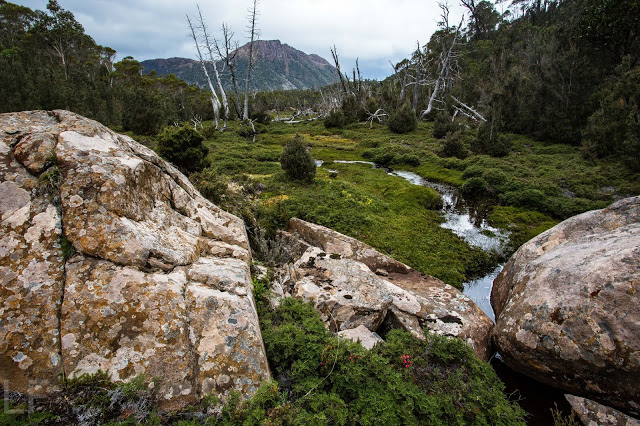
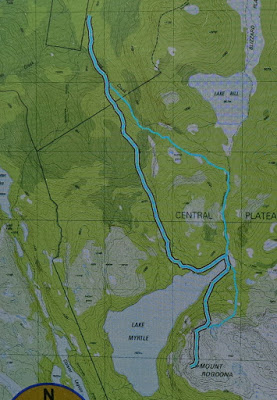
And so I drove through the charred landscape of black and fallen trees due to the January fires, until I reached the end of the road beside Lake Rowallan. Despite the burned debris, the old track to Chalice Lake could be made out with concentration until it crossed a bridge (after 12 mins from the car). From here, I could see no trace of a track, and I was not going to Chalice, so set off up Jacksons Creek, keeping as near to the water as possible until the creek forked.
At this stage, I let the terrain decide my route. I feared getting trapped in a waterfall if I took the very steep left fork, and didn’t know if waterfalls were also on the right one, so decided to climb the cliffs up the middle. This worked fine, although I did have misgivings about finding a suitable passage on the rebound. That was a problem for later. I got up the steep section, bullied a little by the thick scrub in one part, but then made my way south east until I intersected with the track between Lakes Bill and Myrtle. From here it was only a bit over a km to the lake (Myrtle).
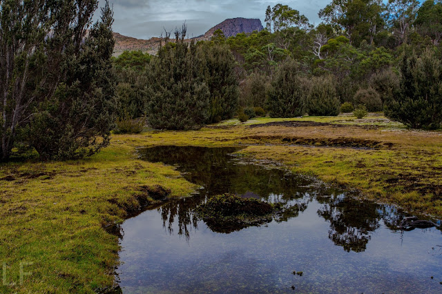
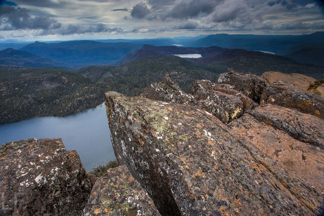
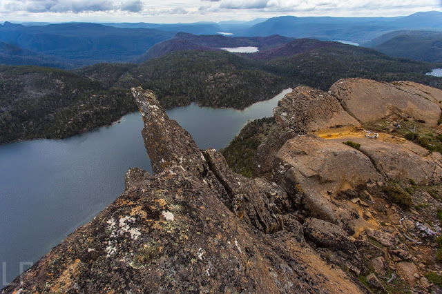
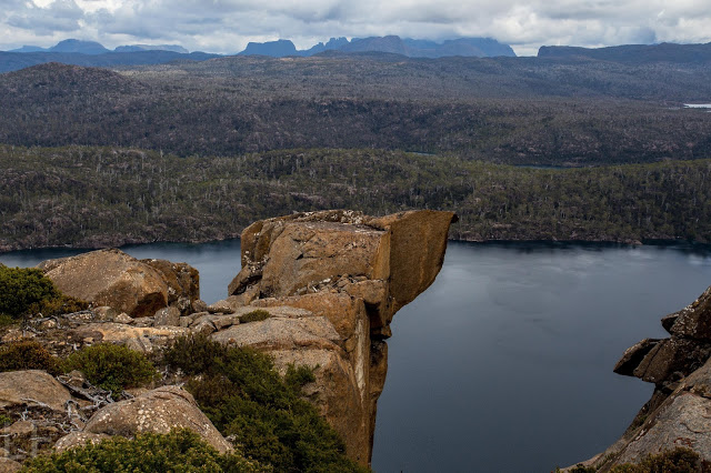
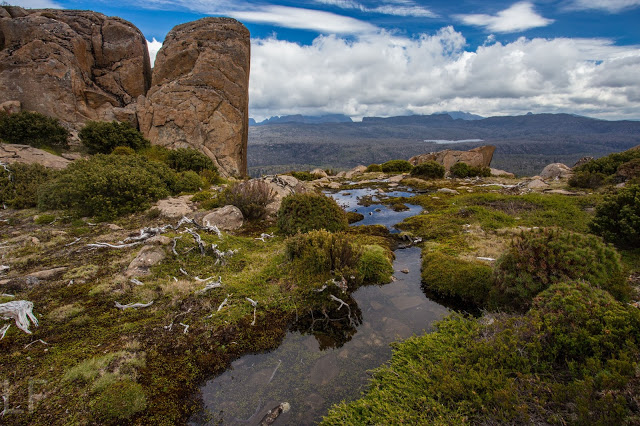
The book talks about following a track between this lake and the next (Lake Meston), but it was going away from my mountain, and I could see no possible reason for such a deviation, so just went straight up. I had reached the summit cairn in 2 hrs 50. It was cold and windy up there, so I opted for lunch down by the lake, and after the obligatory series of photos, headed back down, choosing a route even more direct than my way up had been, arriving at the point where you cross the creek at the end of the lake in 57 minutes from the summit cairn. Now it was time to eat, although I didn’t spend too long doing that, as I was unsure about how descending through the cliffs was going to be.
As I was departing, I noticed a little pad continuing around the lake on the opposite shore. I decided to follow it, reasoning that, as it was going westish, I could use it as long as I wanted, and then head north, or else, if it swung north where I wanted it to, I could use it the whole way. I like “circuits” (or whatever you call this), so happily followed it, noting that someone had cut branches quite recently. All this zone at the top, you will be pleased to note, was untouched by the fires, which affected the steeper areas down lower. I figured the pad would be pretty impossible to follow once I hit the charcoal, but funnily enough, you could still sometimes see marks on the ground, or old sawn bits of timber, and occasionally even tapes – not melted ones. Someone has been out and put nice new ones there. Thank you, whoever you are. I got “dumped” by the tapes lower down, but I knew where I wanted to go, so just went there, rejoining my original route in at the bridge. The route down, summit to car, took 2 hours 20. I liked my circuit, so much quicker than other routes I’d read about.
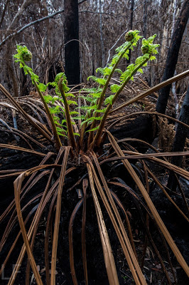
The black scenery from the fires was both depressing and sickening at first, but as I walked through it, I was filled with wonder, for the bush is already on the move: nature is fighting back. Even myrtles have new leaves, as well as the eucalypts (of course). Tree ferns were flourishing, as were ground ferns and bracken. Of course it won’t be the same as it was, but the tree ferns looked fabulous in their bright green crowns, and it was great to see that the bush could begin to recover. Lots of trees I used to pull myself upwards had some give in them. They’ll grow green too with a bit more rain. My face was predictably black by the end. Wild Woman hit Mole Creek for afternoon tea, but the cafe had closed at 3pm. Who eats afternoon tea before 3? Bitterly disappointed, and dreaming of the hot chocolate with cream and cake I’d been denied, I drove the rest of the way home.

