Myrtle Gully Falls 2018 May

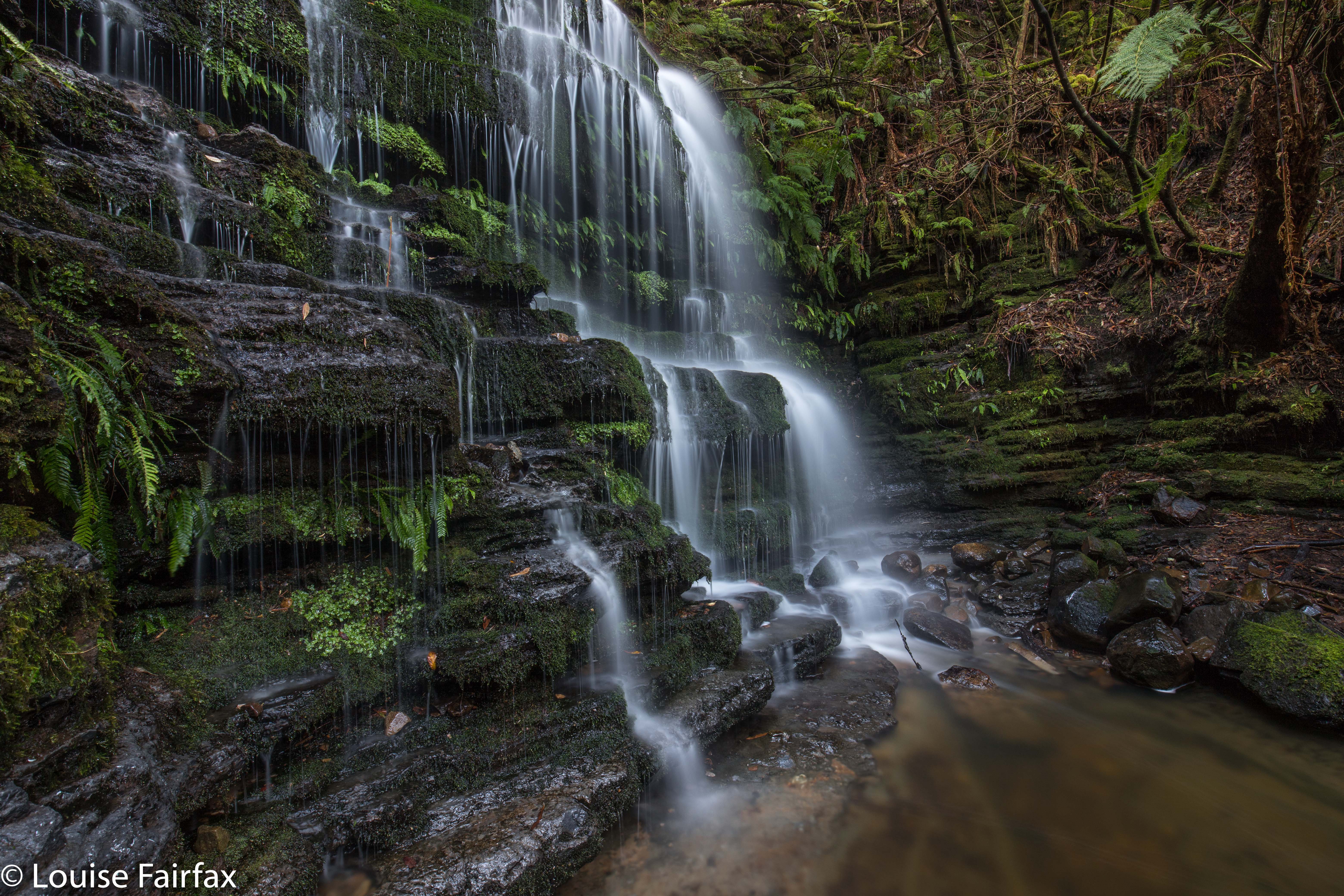
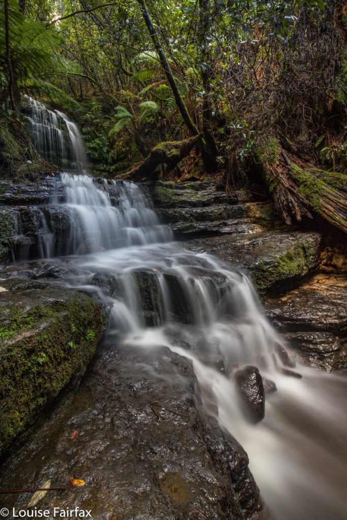
This was my third visit to Myrtle Gully Falls, but the first time that I have found any water worth finding, and thus the first time I have seen them looking like a waterfall rather than a dainty and elegant trickle. I loved them today. Thank goodness I was scheduled to be in Hobart on a “good water day” (much better than a “good hair day”).

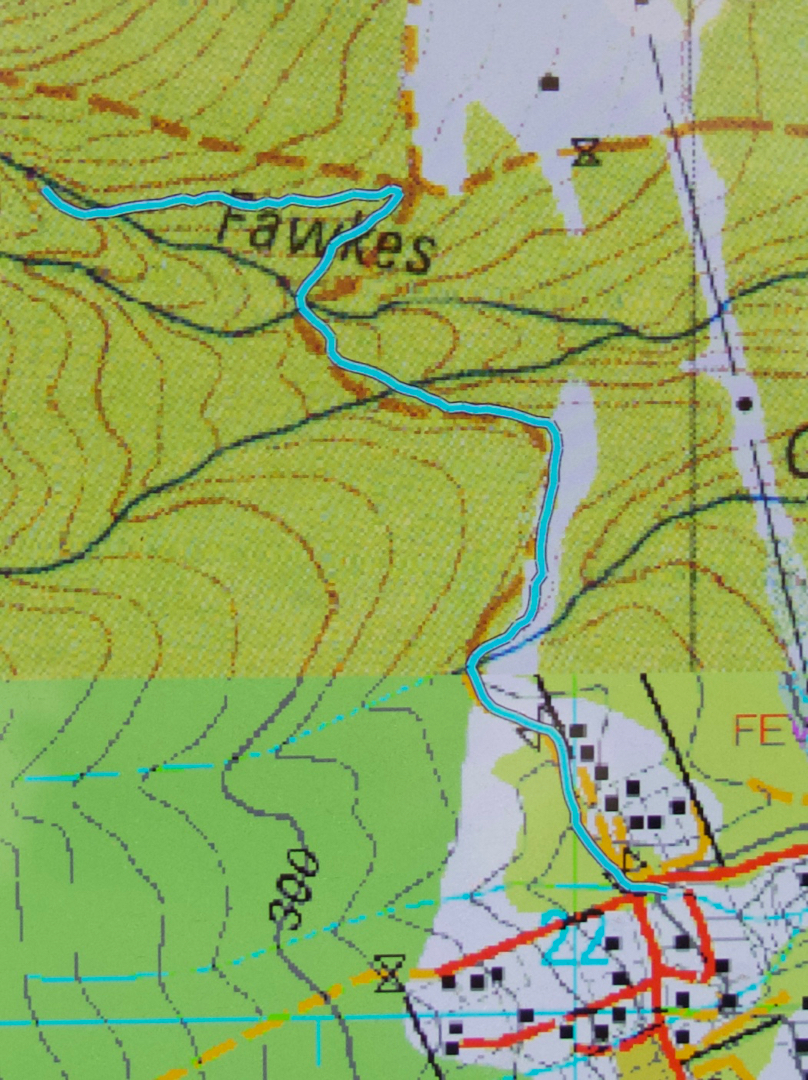
The walk is not long at all, so barely constitutes exercise, but is a nice little hike, nonetheless, even if the duration is rather short (I took eighteen minutes in each direction). I began at a right-angled bend on Strickland Road (the main road curves left going up the hill; I went through a gate, and followed a dirt road slightly uphill). It is signed as “Main Fire Trail” and leads up and down three times until it intersects with another trail that you see coming in from below right before you see that it continues up the hill (Guy Fawkes Track). Head left up the hill, and soon enough, this small path through lush green forest with moss and tree ferns swings back towards the creek that contains the Myrtle Gully Falls (Guy Fawkes Creek). The path crosses the creek at the falls. It is lush and peaceful, and a lovely place too spend an hour or so.

Apparently this waterfall is about to get a new, aboriginal, name. When it does, I will add it in here, but as web information and local lingo both use the traditional name of Myrtle Gully Falls, I will not be deleting the old name. It may not be on the LIST map, but it is the name by which the falls are known at present. We can’t communicate with each other if we don’t call things by the same name as each other. We will enter a period of transition when the new name comes into being, as people will still continue to use the name they have always known, even if DPIPWE has not chosen to bless it by putting it on the map.
