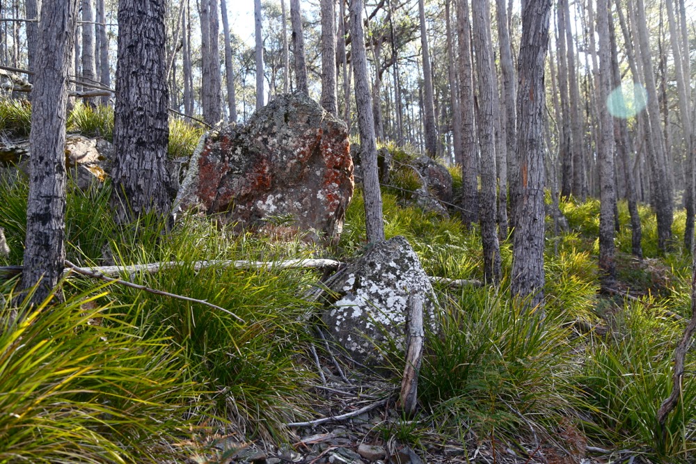
The bush in the first eight minutes
The minute you turn east off the highway to Hobart and begin heading to the coast along the Fingal Valley, there is St Pauls Dome, dominating the skyline slightly to the right of straight ahead. If you climb a mountain like Mt Henry, nearby, there it is again, looming larger than the mountain you’re on and telling you you should be on it instead. The trouble was, I wasn’t sure how to gain access, as private land separates the highway from the mountain.
A few postings to and fro on bushwalk.com and I had a telephone number, and soon after that, permission from the friendly owner, Jamie, to cross his land. My husband finished work at 1.30 today. It was on. We met in town and set out.
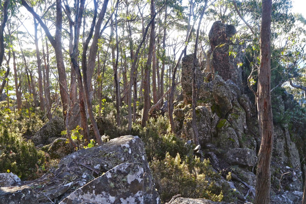
The bush with 100 ms of height gain left.
We found the sign that said this was property 3710, so turned in the gate with its sign about alpacas, crossed the railway line, and headed through the fields for the mountain. I had feared that we’d have to park at the start of the bush, but Jamie assured me I could get further than that despite my only having a 2WD, so up I continued. I was pleased to be doing this at last, not just because I’ve ignored the gauntlet tossed in my direction each time I pass, but also because there’s a big orienteering event near here in January, and I wanted to know whether this mountain was worth recommending to some of the interstate visitors who’ll be staying with us.
My judgement now I’ve climbed it and seen the “view” is that I’ll send them up St Patricks Head instead.
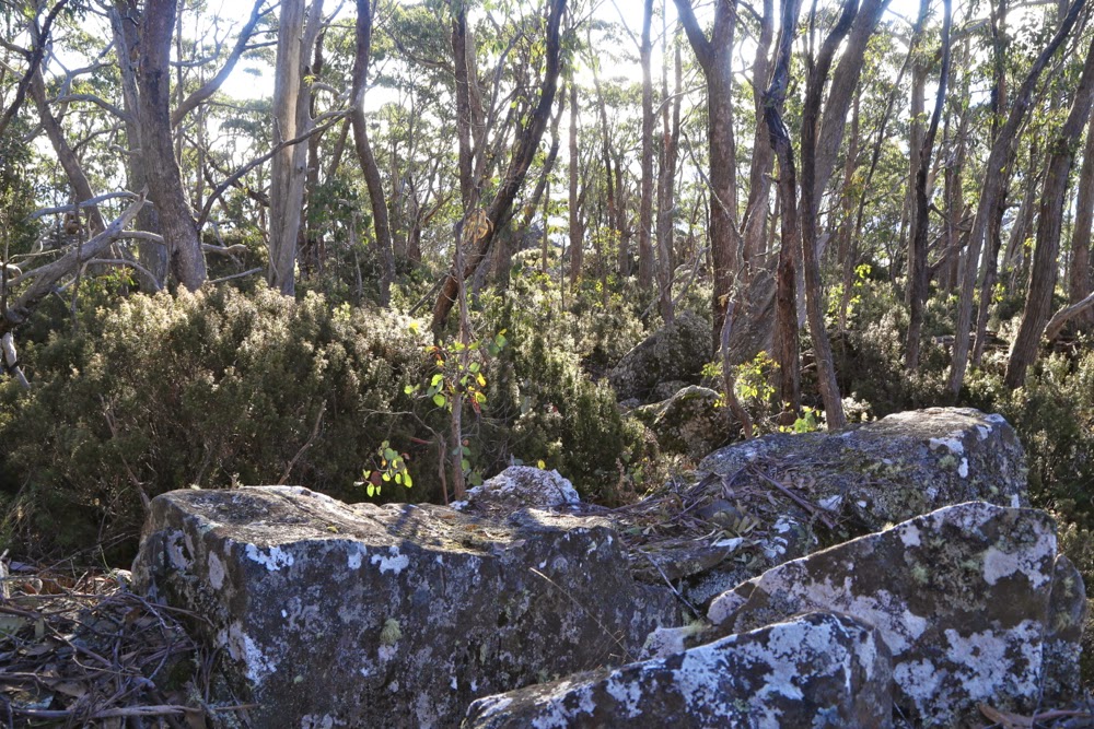
Not too far from the summit now
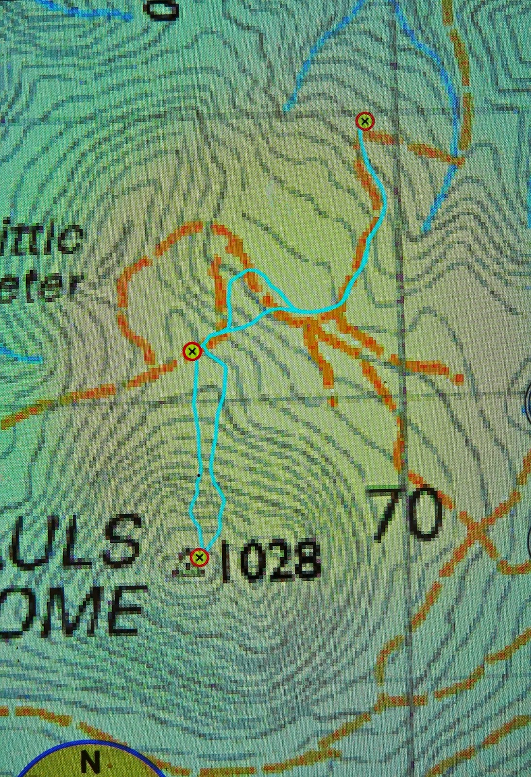
Directions: Looking at the map above (scale 1:50,000), you can see where I parked just below a corner that swings left (as you drive south towards the mount), not far from crossing a creek (most northerly waymarker). The section from the creek to that corner was a little hairy in our 2WD and if you love your car or are nervous, it’s probably better to stop just before the creek, where there are numerous places to turn the car and pleasant, green, flat sections just to sit and enjoy the bush while you don boots and gaiters. Continuing to drive to where we did saved us a bit of time which, given how low the sun was now in the sky, was necessary for us on this occasion. Turning the car around where I did was about a 7-point turn (but out car is very long). There is NO way I would have driven any further.
We then followed the road that would have even tested a 4WD up, as per the map, cutting off a corner in the road by taking the hypotenuse through the bush to meet it again higher up. The second waymarker is where a Pandani group (who did have a 4WD) parked when they did it last year. It took us 30 mins to walk from the first to the second waymarker.
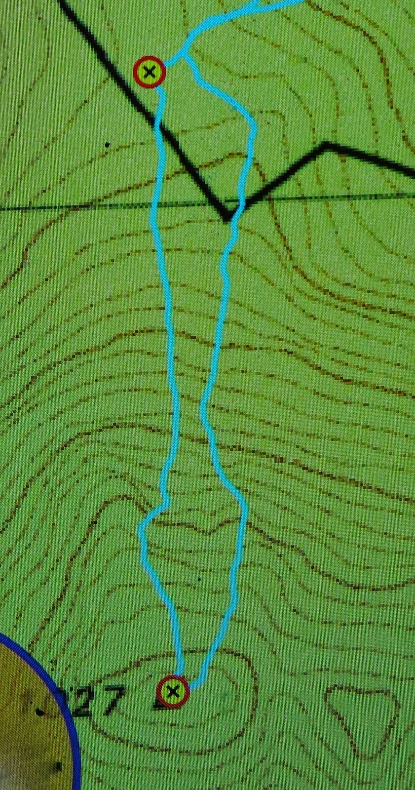
As you can see, I left the road where the spur comes down to meet it, and just headed straight up. The bush at first looked like the bush in the first photo above, and was very easy to negotiate. After 7 minutes, the bush type changed completely, and short prickly shrubs predominated. However, these were very easily avoided, as the ground became very rocky, and I just steered us along rocky leads that took us to a mere 100 vertical metres of the top (another 7 minutes since leaving that second waymarker).
On the map below (1:25,000), you can see a kink in our direction partly onto a spur. That’s because there were some very interesting rocks there that I wanted to climb …. trouble is, you can just see in the contours the hint of a shallow gully, and the moisture it contained meant that the scrub was now over my head and very thick and our progress was pretty slow from that kink to the top (scrub gloves came in handy) – a further 14 mins. Therefore, on the way back, you can see I chose a more easterly route, and we both felt it was way faster, except that the ascent time was faster than the way down – but that’s pretty standard for me. I’m a girl on a mission on the way up if left to my own devices. In total, the time from that second waymarker where a 4WD can park to the top took us 28 mins. Even with the extra 50 mins’ walking that parking where we did added to the return journey, it was still less than a two hours’ walk (plus sitting at the top), and a very pleasant way to spend one of the last afternoons of official winter.
That said, don’t do it for the view. People talk enthusiastically about it, so I was expecting something glorious, and most definitely expecting to see the sea (Wildtiger says you can see the Tasman sea, but we couldn’t). We perched on the trig rock to eat before descending, and looked at leaves and trunks and, yes, some hazy distant mountains if we craned our necks, but I didn’t even take one photo!! Afterwards, I explored a different mound that looked promising, but it wasn’t brilliant (but was better than “trig rock”). I climbed the trig itself, thinking that perhaps the problem was my diminutive height – and that gave me perhaps the best view – but I wouldn’t rave. The scene we both enjoyed the most was after we’d joined the road and were walking along it to get to the car. The light was now beginning to change colour and the water-laden air was taking on golden hues tinged with grey that made that section very peasant. We could actually see further there than we could from the summit.
I have now checked with Jamie, and he’s cool about having his number here. If you want to call him about climbing the Dome, his number is 0419 394 572

Looking to climb St Pauls on a geocaching trip to bag the trig point, so many thanks for your detailed description and contact details.
Kind regards
sirius Tas
Hoorah, a real comment and not spam. I’m so glad I was of help. Have fun with the climb.
Cheers,
Louise
Thanks for excellent write up Louise. Will probably climb St Pats Head first. Cheers!
Thanks Tanya. St Pats is a much more rewarding climb anyway. 🙂 Have fun.