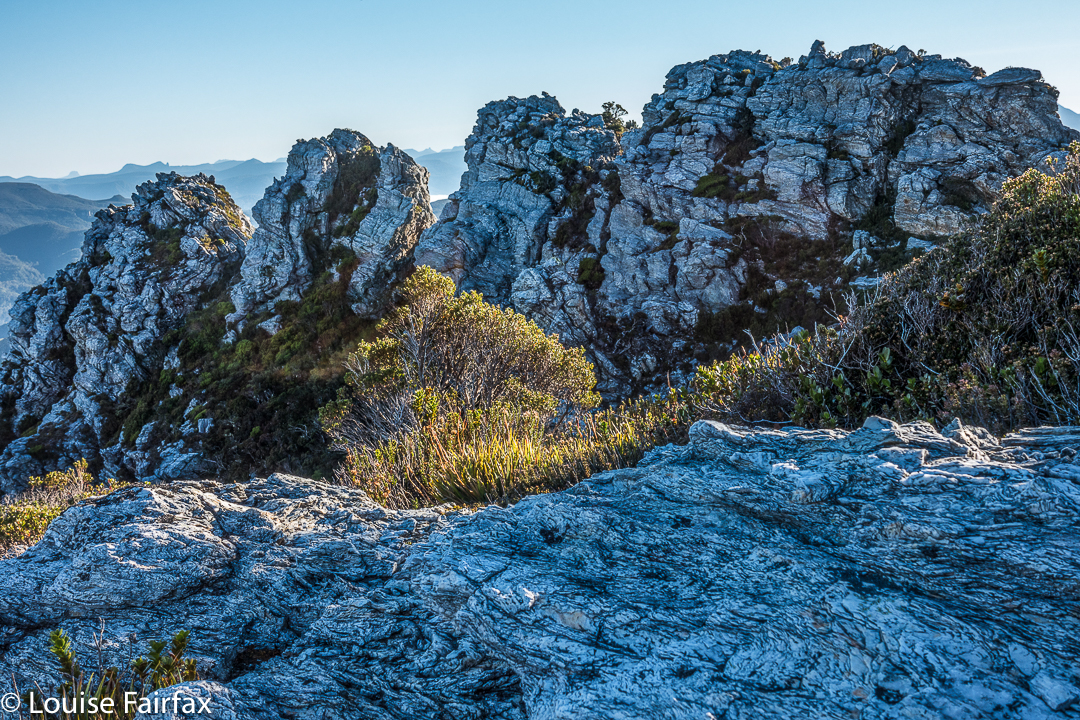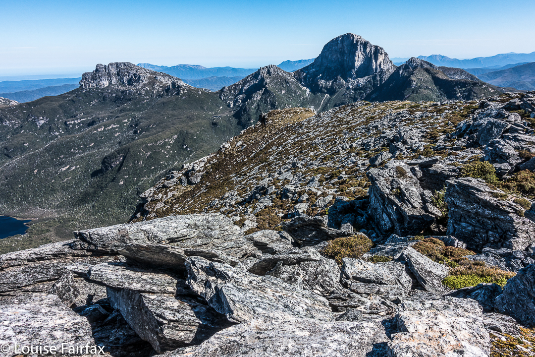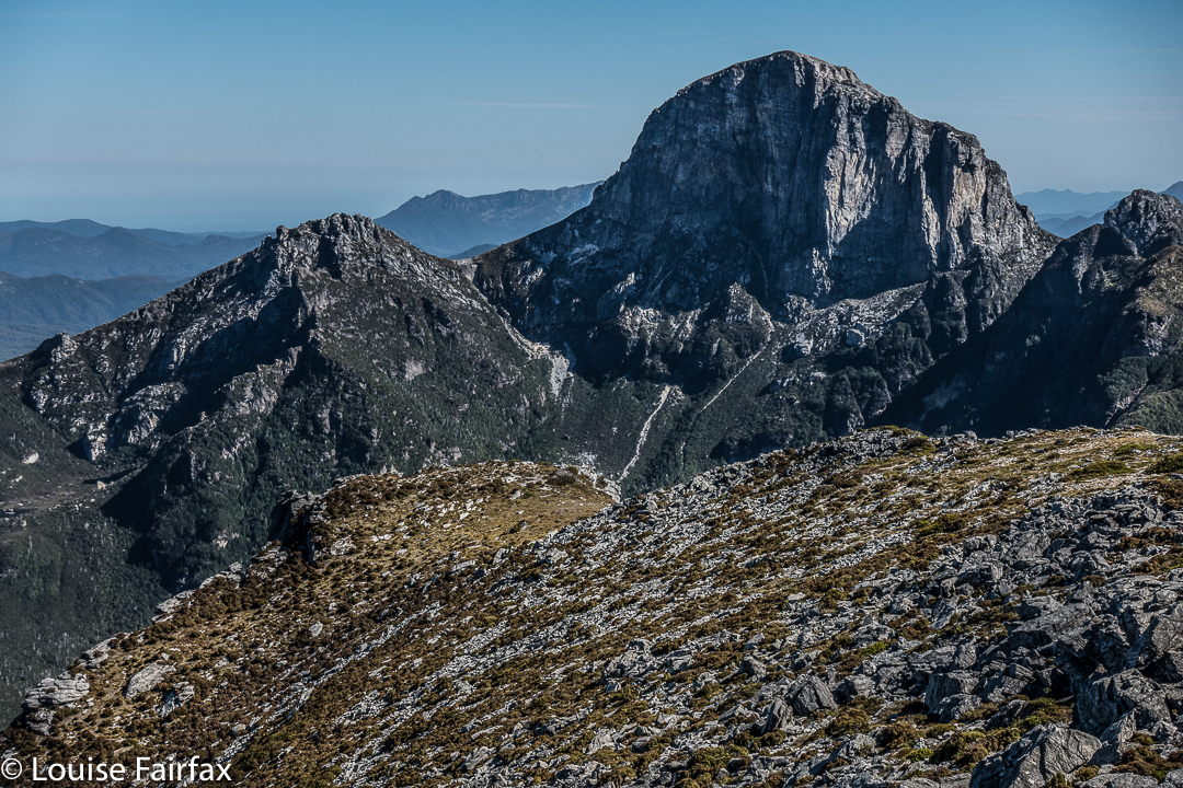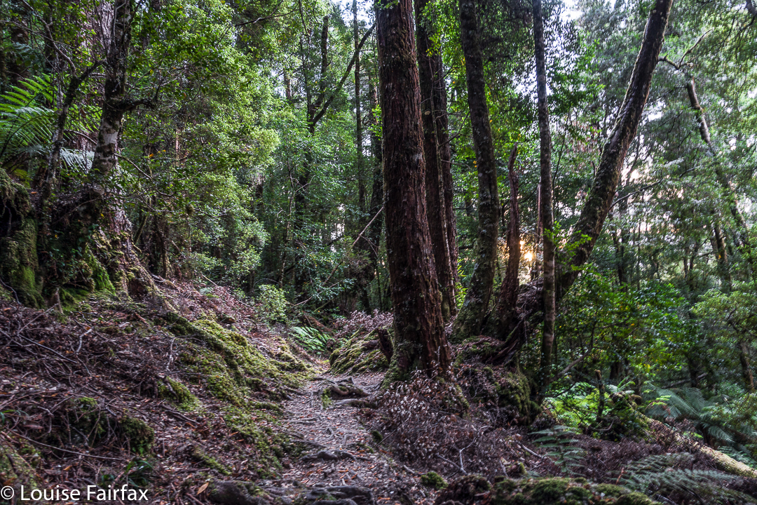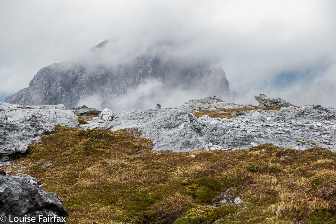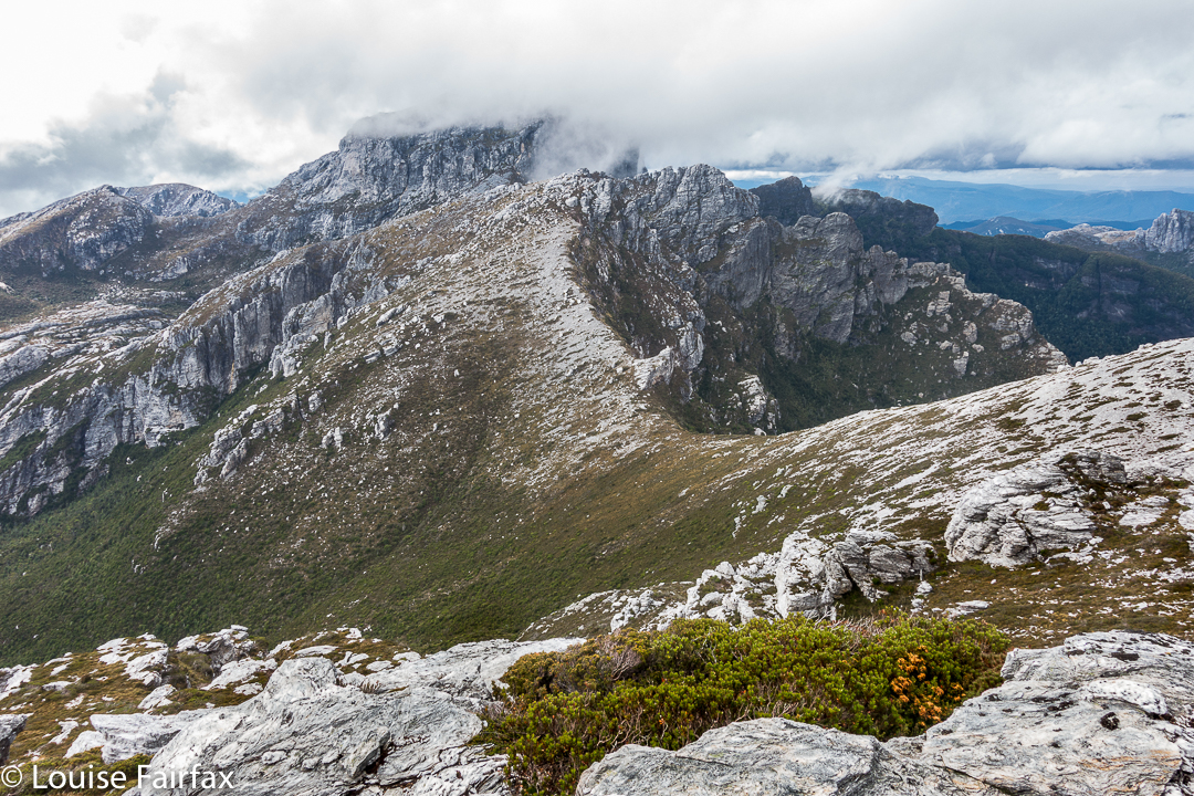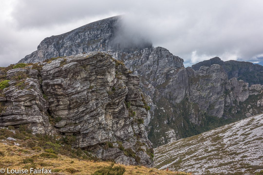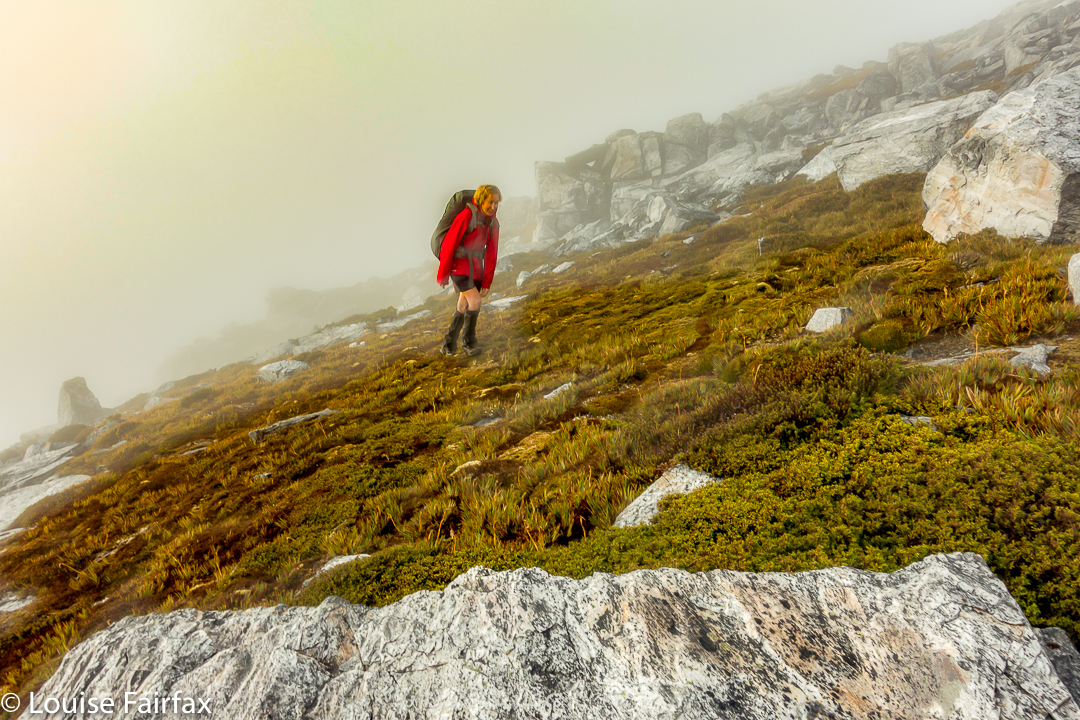
Roland 2017 Apr

Mt Roland Apr 2017


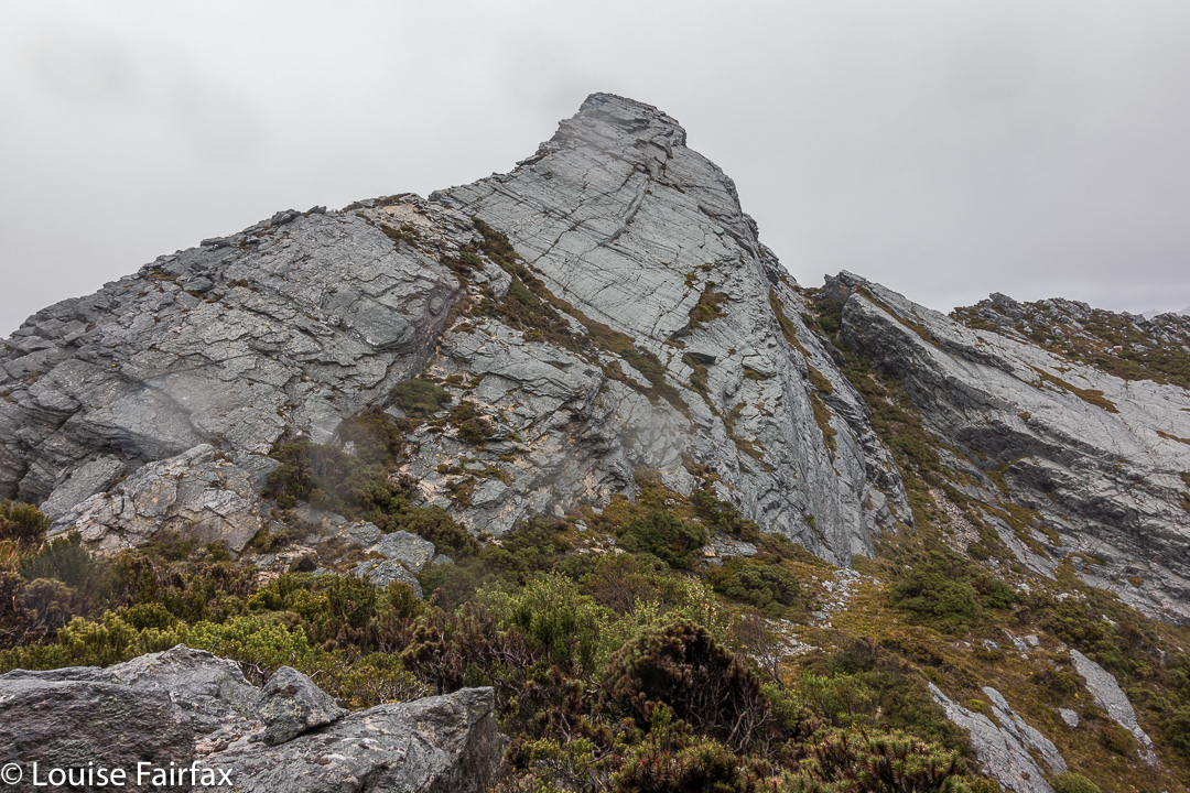
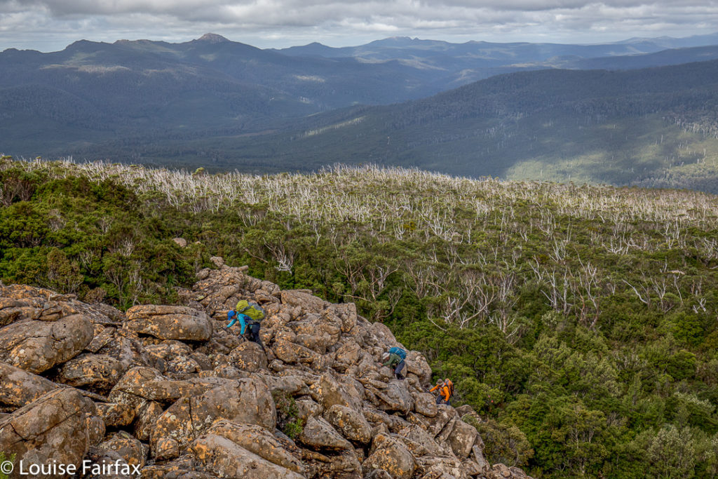
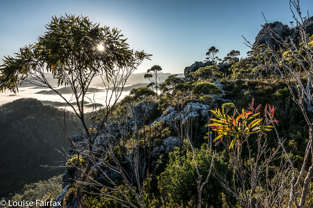
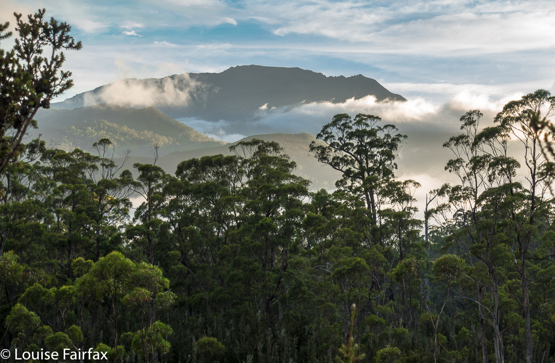
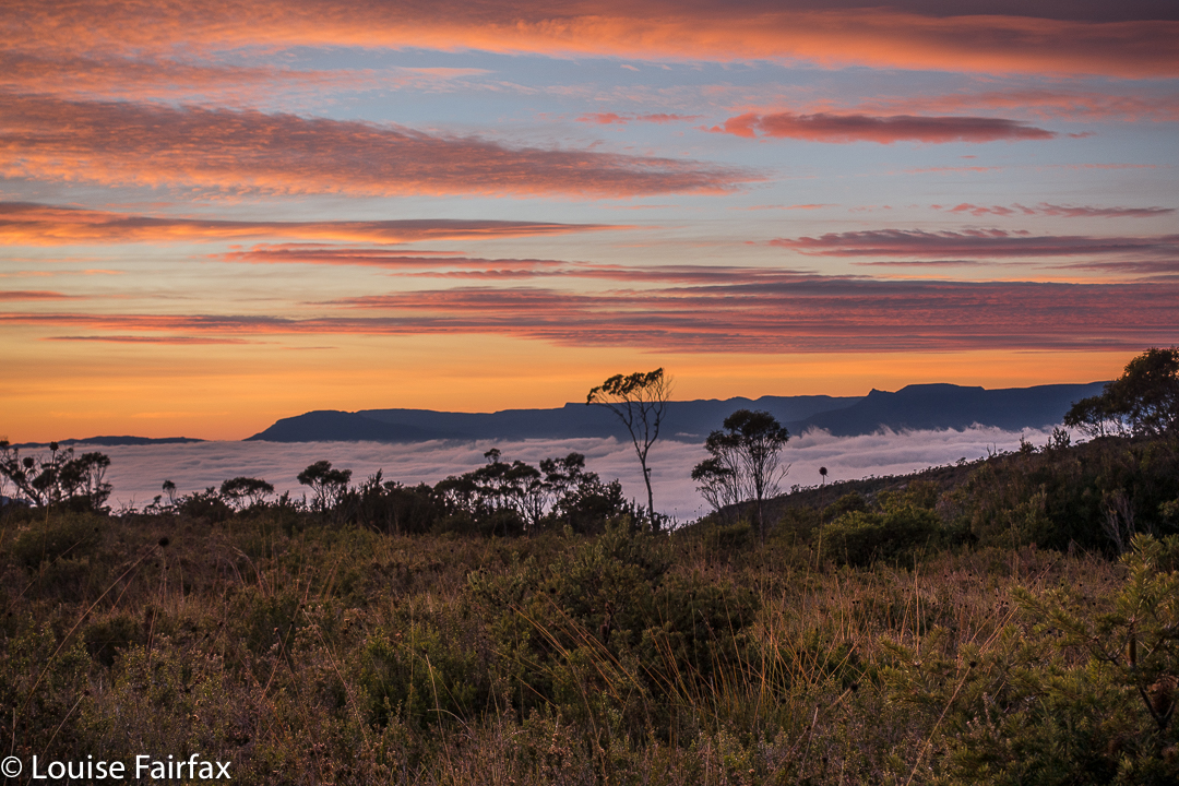
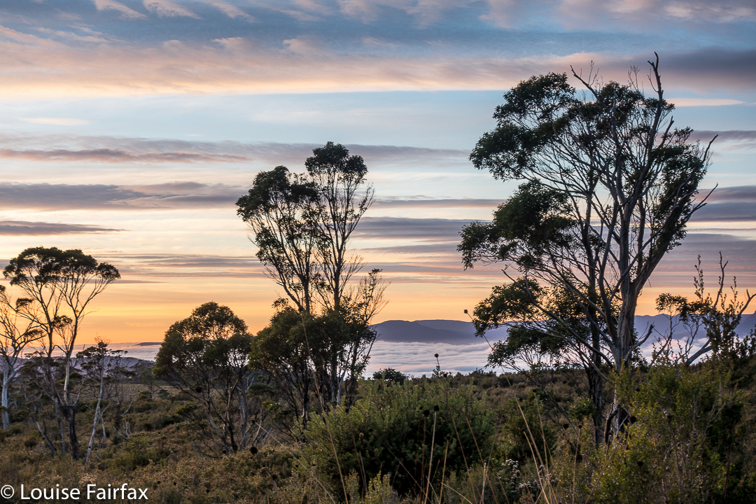
I have wanted to sleep on Mt Roland for a very long time. I think the provenance of the desire dates back to seeing a full moon rising from just behind the mount as the sun was setting to our rear as we gazed. I decided sunset up there would be wonderful. That was many years ago, and somehow the chance has never quite come about.
However, just as I was about to leave the house to drive south and pick up my friend to climb Aldebaran together, I received an email saying he couldn’t come due to an emergency. Meanwhile, I had not been enjoying the turn the weather maps had been taking since we firmed up the arrangement, so now that I wasn’t expected to be there, I decided I didn’t want to drive all that way for a repetition of last weekend’s weather. BUT, there was the fact of my packed rucksack and all my emotions that were geared for a mountain climb. I couldn’t possibly do nothing. On the spur of the moment, I suggested to my husband that we at last try sleeping on Roland, despite the rather abysmal forecast. This one could be a recce, a little practice for the real one. I wouldn’t even take my full-frame camera and tripod for this trip, which was good, as I would be carrying the lion’s share of gear for us.
He said he’d like that, so I spent about ten minutes throwing a few items of clothing into his pack, and off we set. My own rucksack was ready for a three-day trip, so I figured I had enough food and gas for two. Not a great deal of thought went into this packing, but I did double check that I’d tossed in enough warm garments for him.
We didn’t get started until 4.15, which is rather late even for normal people. For a man with Parkinson’s disease, this is way too late for this mountain at this time of year, but we weren’t going to back out of this now. We’d be right, I thought optimistically. After 18 minutes, we reached a junction in the track that said that a fit walker could get to the summit in three hours from that point. Oh. It was now after 4.30, and we had a mere one hour of good light. Well, these signs always overestimate the time. On we pressed, hoping the information was very wrong indeed.
After 67 minutes from the car, we were at O’Neills Creek, and stopped for a quick drink. I looked at the map to see what lay ahead for the immediate future. Hm. Many, many contours lay ahead, although we seemed to have done most of the distance. I looked at the track on the other side of the creek and noted that I could see nothing at all. The forest was so dense there, and the clouds so thick above us, and the hour so very late indeed that there was zero visibility. However, I don’t come into the wilderness to camp three-quarters of the way up a mountain in a claustrophobic little gully. I didn’t really like this spot. I wanted the wide open spaces of the top. On we pressed, now in complete darkness, although it was only 5.25.
Miraculously, given Bruce’s illness, we arrived up the top safe and sound, but it was by now very dark indeed, and not just in the deep forest. However, I could feel the icy air circling around me, and it was exhilarating. This thin air is what I love, even when I can’t see a thing. I can feel the infinite space that exists on the tops. I was happy. There’s not much choice arriving like this in the dark. I had no idea how I was going to find a spot to pitch. We were carrying enough water to do dinner and breakfast (which was absurd, as water was everywhere, but at least collecting it was not one of my duties that night), so were not tied to a water source.
I pitched for us and cooked in the vestibule, and we ate our rehydrated dehydrated food in the warmth of my little Hilleberg, agreeing that this was the life. Howling wind now provided background noise to our conversation. It could be heard all night.
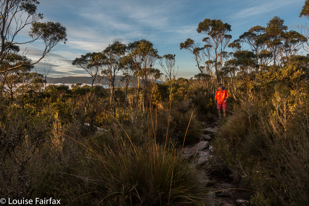
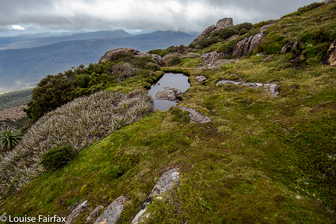
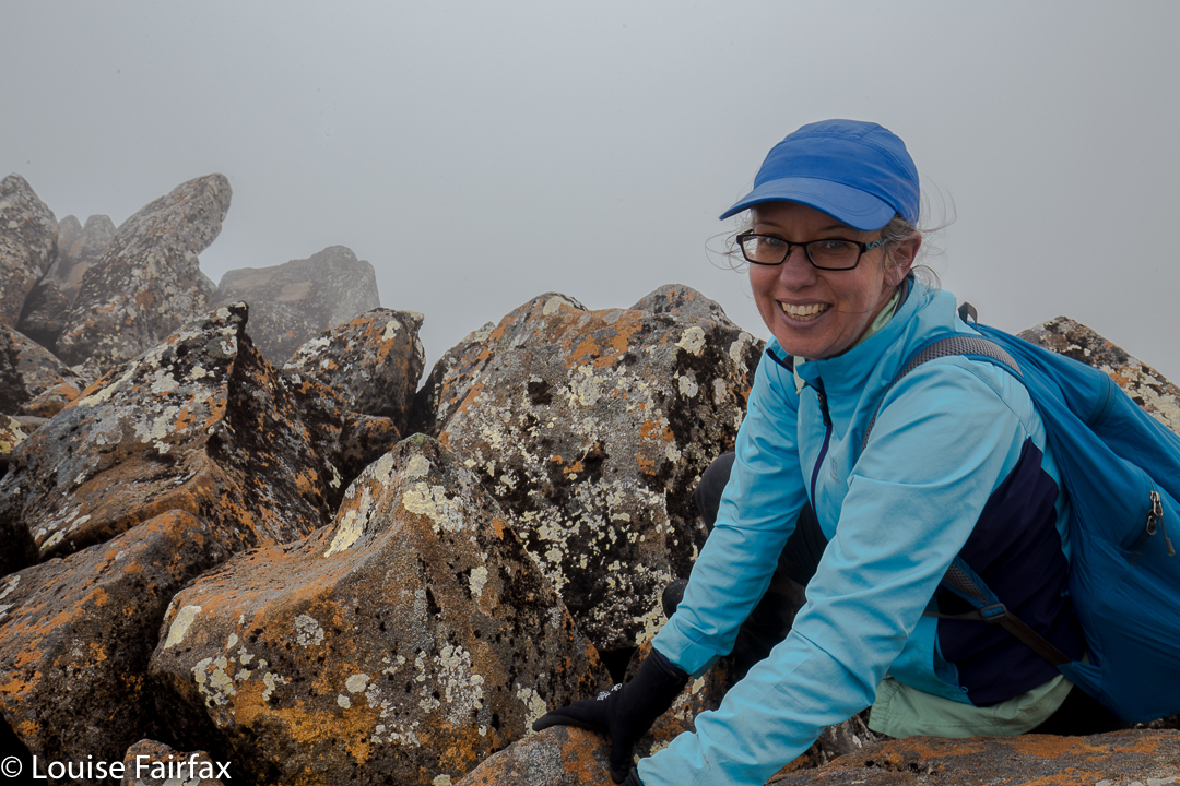
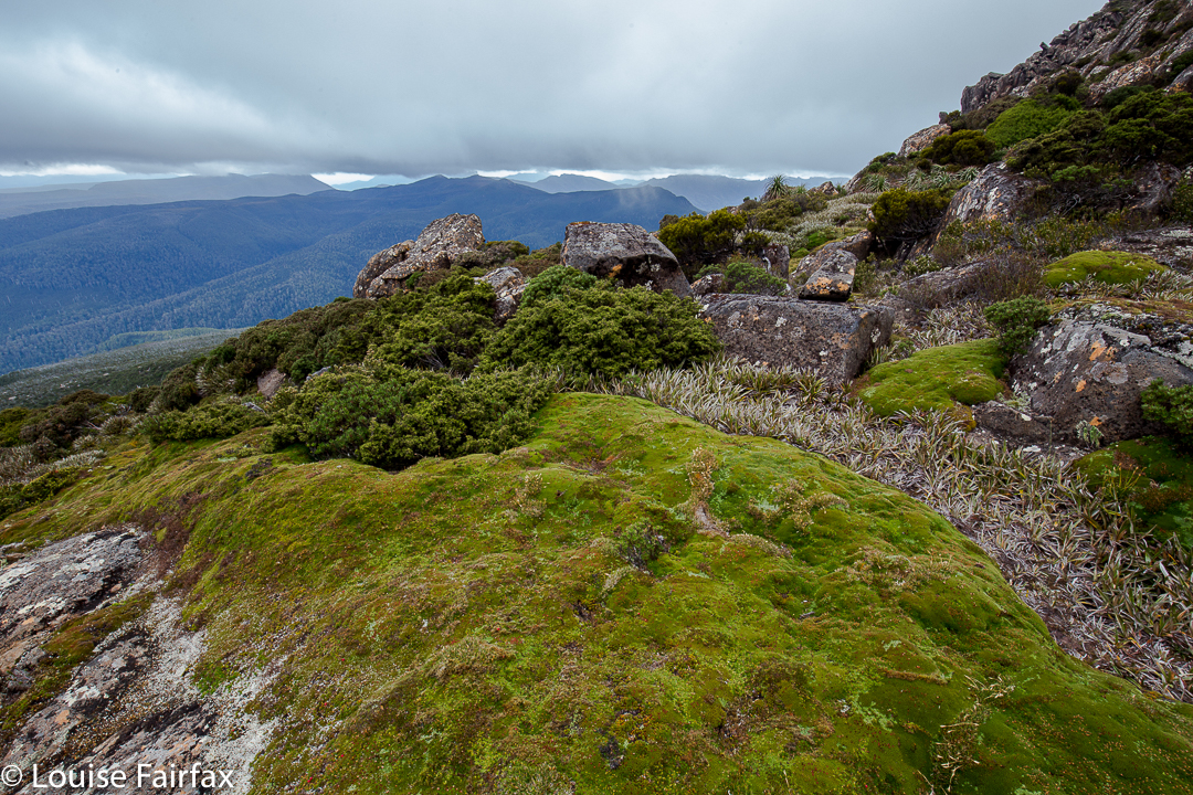
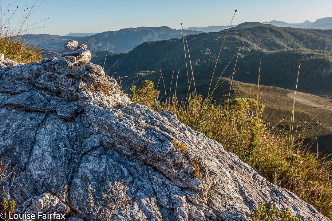
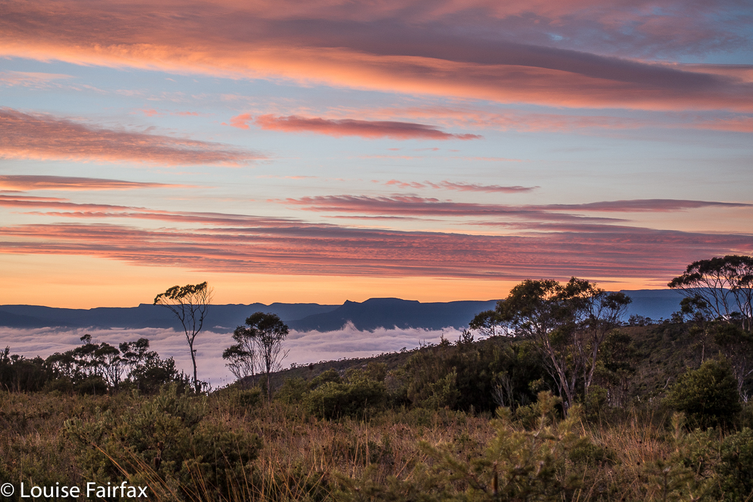
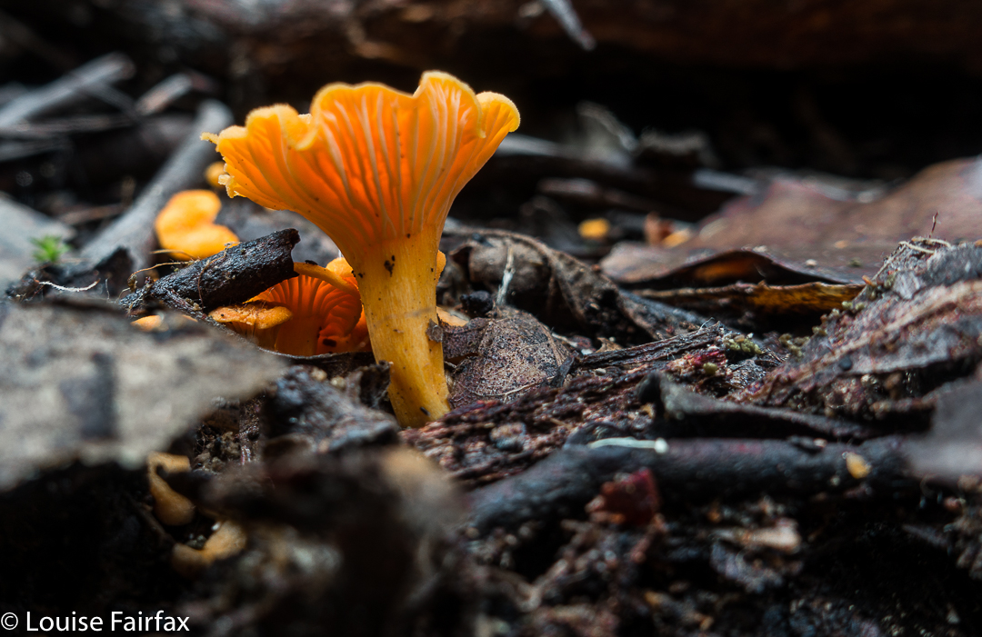
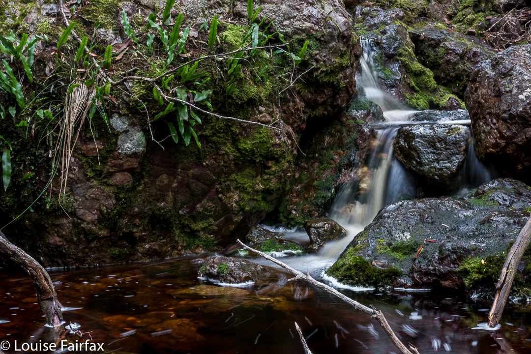
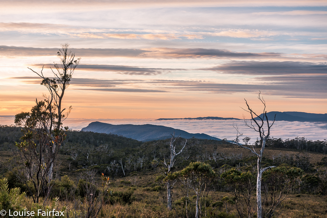
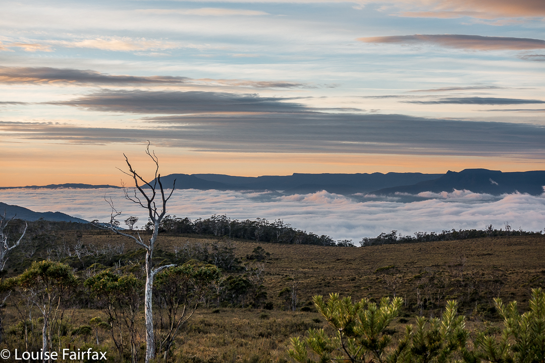
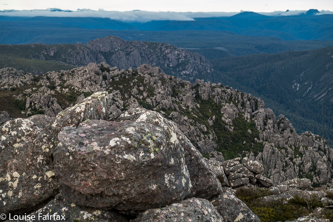
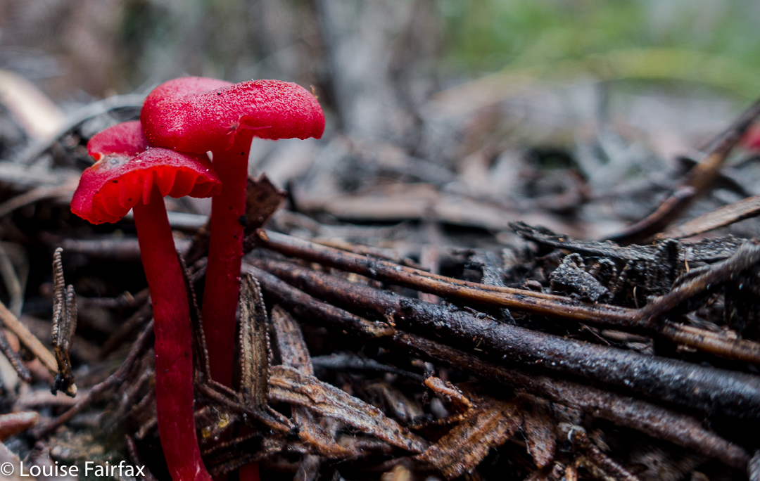
Sunrise next day was far better than one could ever have hoped for, especially given the thick clouds of the previous evening. We enjoyed the spectacle, and then breakfasted before heading for the actual summit, which was very windy indeed, but bearable. That said, it was rather an anticlimax after the start to the day. I am not enamoured of scenery that is almost a monochromatic, dull blue, which is what you get when the sun has disappeared once more behind clouds. On the descent, there were streams and fungi and fabulous conglomerate boulders with ferns in abundance to keep us occupied as we walked the very well-graded track. Lunch at the Raspberry Farm was, as ever, delicious.
Scorpio 2017 Apr

Mt Scorpio, Apr 2017

Our camping spot, Seven Mile Creek.
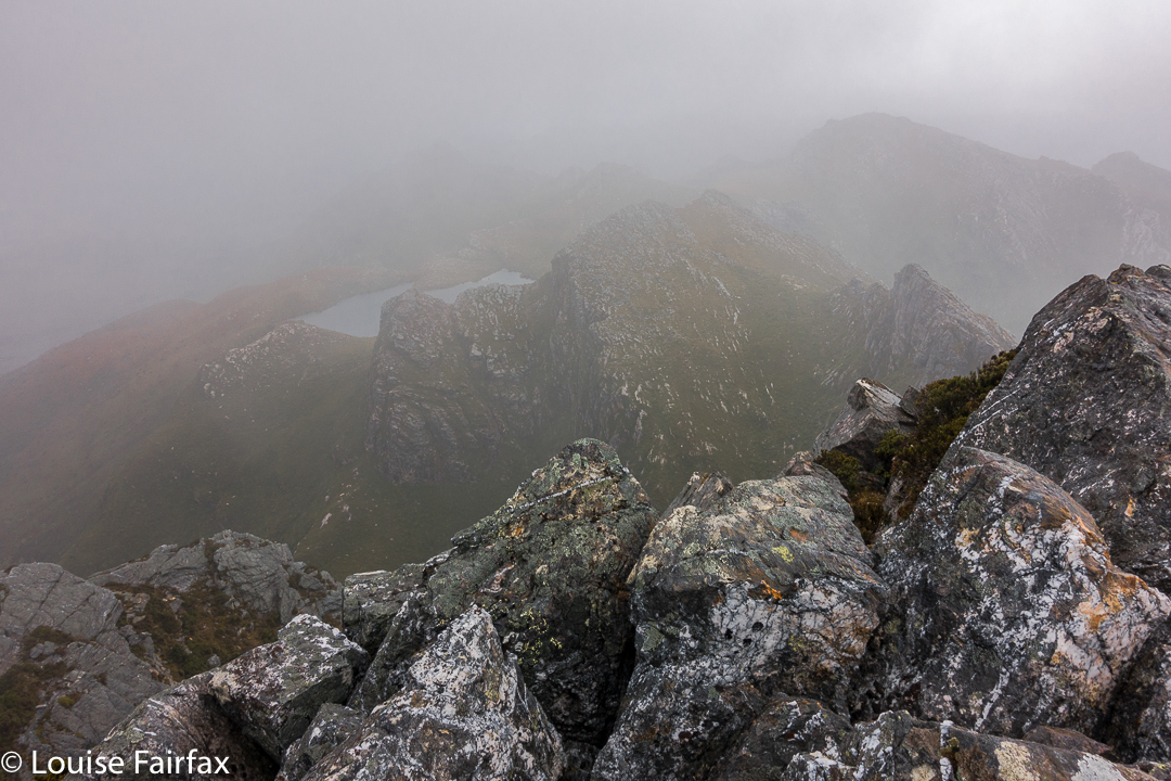
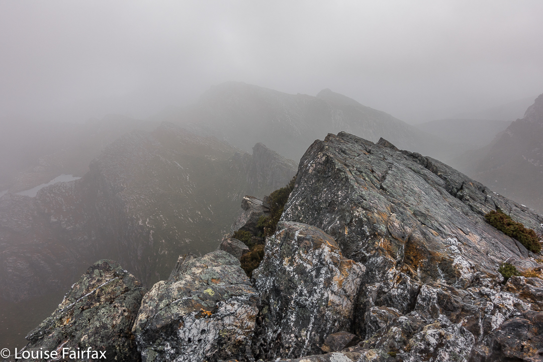
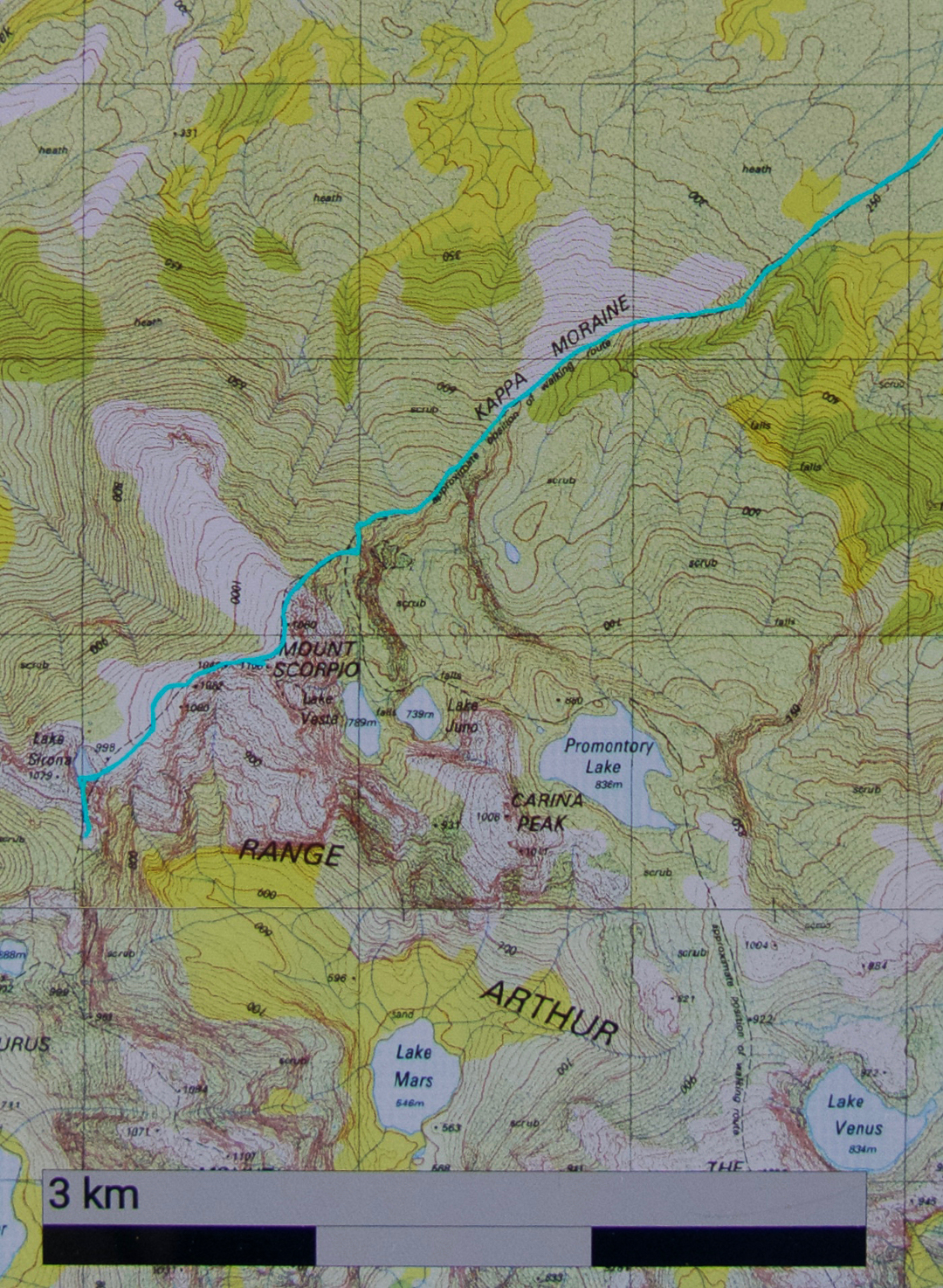
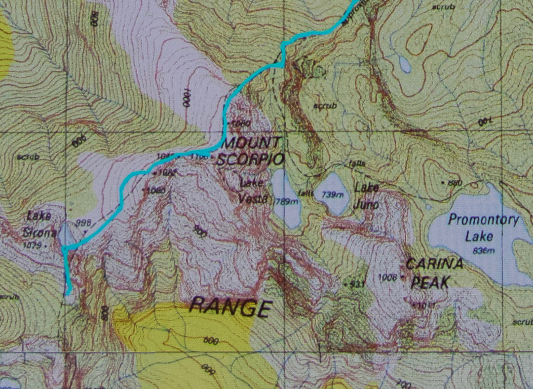
Mt Scorpio, stuck out there towards the eastern end of the Western Arthurs, has always had a certain allure. Perhaps it’s Dale Lisson’s photo in the Abels II book, with diminutive, rucksacked figures walking up a knife-edged slope, that gave birth to my feelings towards this mountain, and created a mixture of respect and fear, combined with a  desire to be on it myself one day, and to summit it via that edge.


Climbing Kappa Moraine.
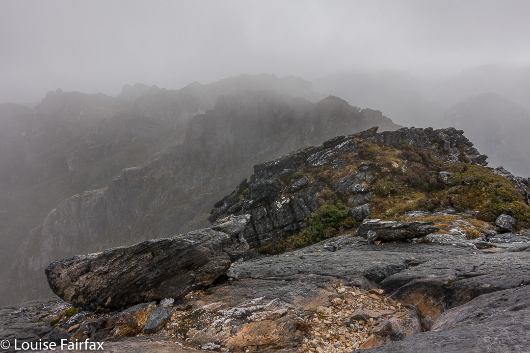
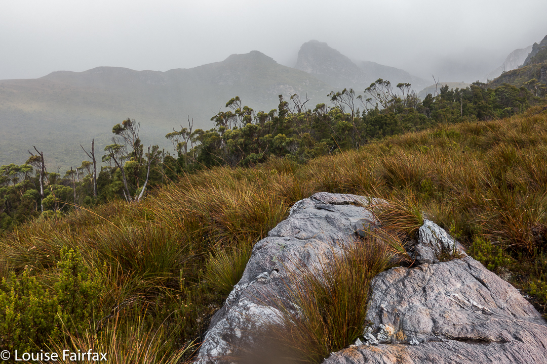
At last I got my chance this Easter. Unfortunately, a different book said not to climb it in wind. Even more unfortunately, the weather whipped up a beauty of a blast, together with mist and rain, on summit day. Oh well. That’s nature. She doesn’t cede to our desires.
On our first day, we had walked in over 20 kms along the MacKay track to Seven Mile Creek. It was not necessary to walk all this way – there is a Kappa shortcut in existence – but we decided we wanted to camp there this time; we’d go up the shortcut on our second visit to the area (we both envisage many visits yet to come). We knew the forecast for summit day was not good, but Angela is a working woman, and sometimes you just have to take what you can get.


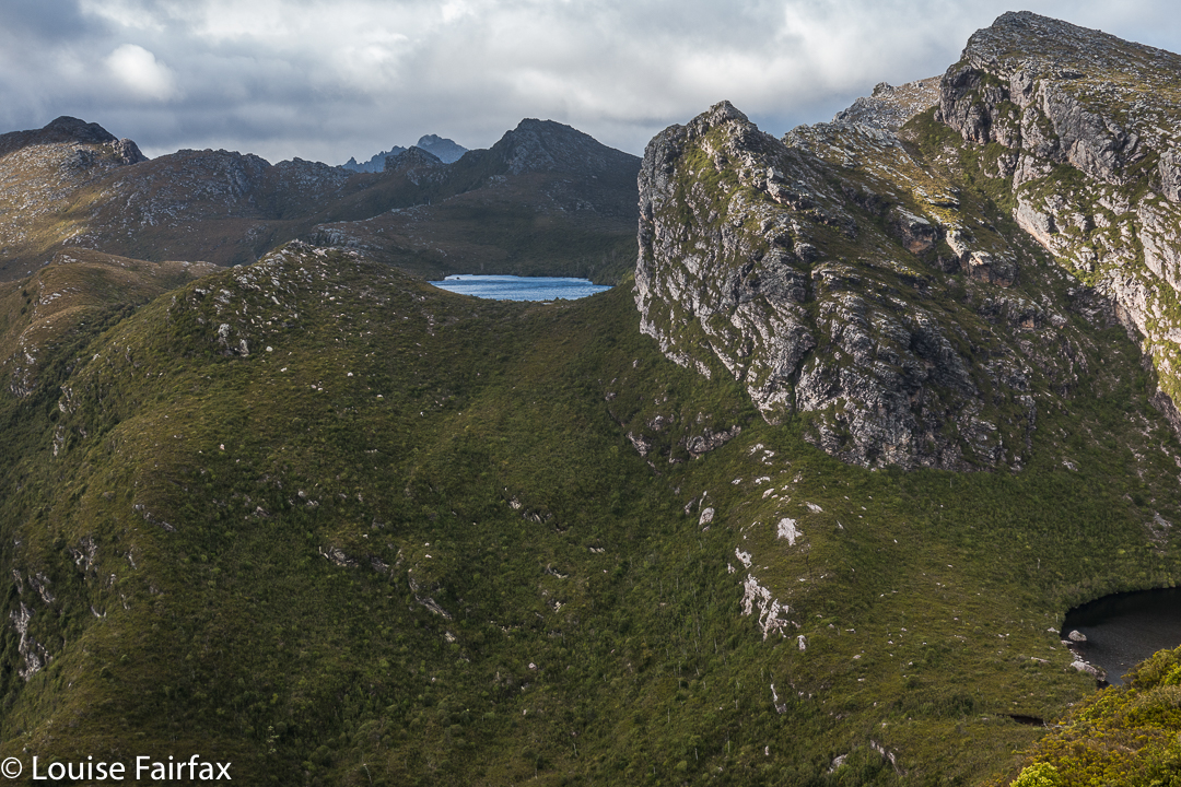
We both loved this glimpse of Promontory Lake before the clouds came in. I must go there one day!! And I must climb Carina Peak to its right.
We were quite hopeful as we walked across the plains from our tent site next day (about one hour’s duration). It was cloudy – a little bit misty – but that was all. At last we were climbing, not having a clue if one of the mountains we were looking at was our mountain, or just a kind of prelude to it. We only got glimpses. We could feel the wind increasing, so, short of the top, donned extra layers in case it got wild up there. Good move.


Angela climbing the final stretch.
The Abels book implies that you just kind of walk straight to the top, but when we reached the nearer end, we could see no obvious route up, and certainly not the one of the picture, so I voted that we go to the further end instead. THERE we found the scene I was awaiting. I didn’t want to completely copy Dale’s image, so chose a different angle and asked Angela to please go on so I could photograph her on the dramatic slope. The wind blew more strongly.


Summit “view”.
After she had finished posing for me, Angela ducked left, not enjoying the deadly drop down the cliffs to the east, and heeding the warning not to climb on the ridge on windy days. I followed up at this stage. I saw where she had gone, but was rather enjoying the airy space, and had plenty to hold on to, so kept on the blade. I got to the summit, photographed, wondered where Angela was, and began to descend, hearing her calling  me as I did so. The wind was so strong I couldn’t hear what she said, and neither did she hear my full answer.


When I got back to her pack, and saw she was not there, mild panic set in. (She didn’t want the wind buffeting her rucksack, possibly knocking her off balance, so took it off for the final climb. On the other hand, I wanted my back protected from the iciness of the blast, and thought that if I fell, I’d prefer to land on my pack rather than my bones. If you could see the drop, you would know that whichever part of your anatomy landed first would be utterly irrelevant, and that pack or no pack would be of no consequence at all. Be that as it may, my pack stayed on).


I was unbelievably relieved when I saw her emerging around the corner. Her yell had not been for help: it had been to tell me she’d found a cairned route up that was not exposed at all. She enjoyed her route. I liked the mild adrenalin rush of mine, as there was no real danger if you didn’t let go, and the handholds were firm.
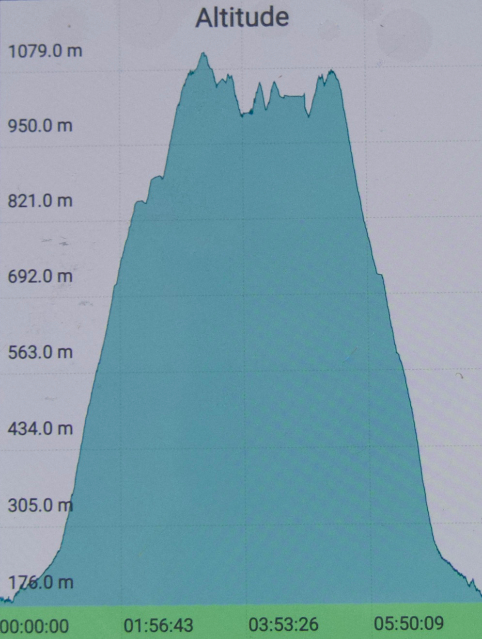
All of those antics complete, it was now 10.30. We decided that, despite the weather, we’d continue on towards Aldebaran. However, with each step, it seemed, the rain got stronger and the wind more forceful. We had to cross a saddle before Lake Sirona, and in this stretch, I was blown a metre to the east on several occasions. It was taking all my might to fight the wind.


The knife-edged ridge from beyond.
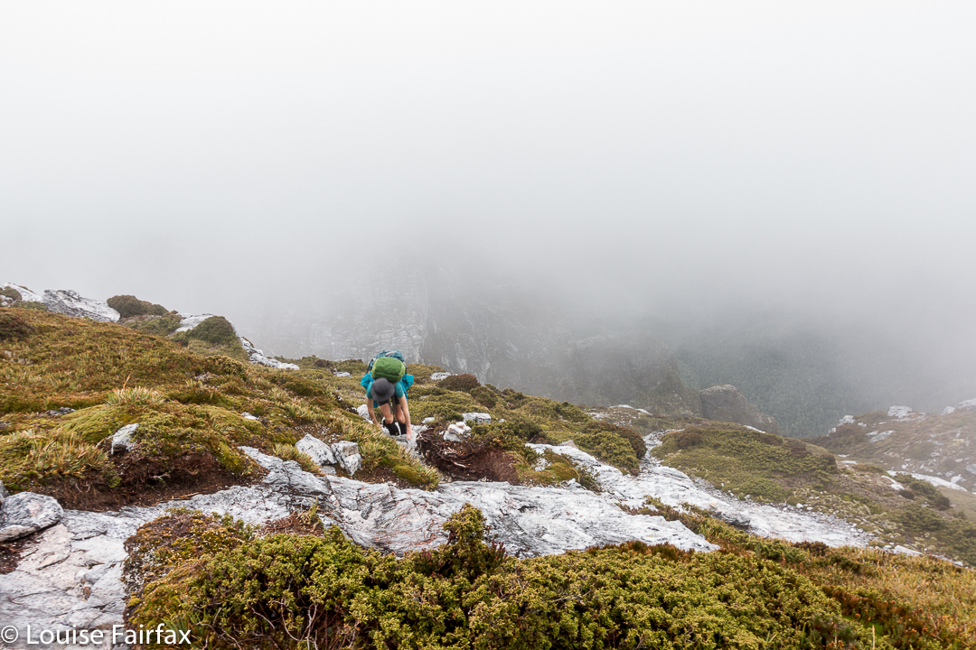
Up we climbed, … up a chute which was quite slippery, but doable, and along to another saddle. Ahead in the gloom lay numerous lumps and bumps of unknown difficulty. This next saddle, like the one before it, had huge drops on the leeward side. I was now moving very slowly in my attempt to deal with the effect of the wind and to protect myself from a huge but terminal flying lesson.  I wasn’t moving fast enough to stay warm, despite my multiple layers of clothing. Reluctantly, I told Angela I thought I should quit. She was very obliging, and about we turned.


The way back was windy and wet, but as we got lower, I could move more quickly and thus stay warmer. It was far more fun being out there dealing with wild nature than lying in a cosy tent, that’s for sure. We were back mid-afternoon, and seemed to spend most of the remaining hours of the day eating, calling the food a variety of meal names.


You can see we climbed the final stretch via the “back door”.

Picton 2017 Mar

Mt Picton. 31 Mar 2017
 

A “worthy” mountain – like Mt Picton – is like a good book that benefits from multiple readings. Each time you revisit the complexities of such a mountain, there is pleasure in a combination of reacquainting yourself with the aspects you liked the first time, with stimulation resulting from details you hadn’t noticed before, or from changes due to different conditions.


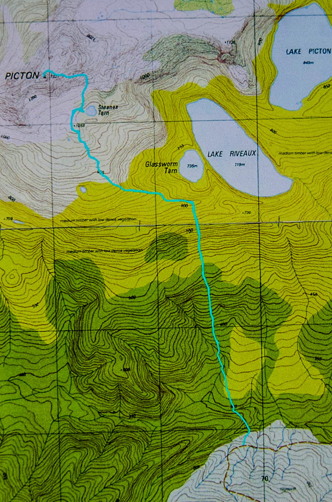
I loved Mt Picton the first time I met it, and have wanted to return ever since. The lush forest held a charm that never ceased to call me back. On this trip, I had intended to do a Picton-Burgess traverse, but had to change my plans due to family obligations. At least I had time to go up and sleep near the summit, so long as I hurried back down on the Saturday.


Carlin. Misty summit.
The river at the start was every bit as charming as my memory had it, and the forest as lush and green as I recalled. This time was slightly later in the year than my 2012 visit, which meant that plentiful fungi were about.
Last time, I had really enjoyed camping on a broad spur above Steanes Tarn, and climbing a knob nearby for better views at sunset. This time, I had to content myself with a spot right down near the water, as it was far too gusty and blustery to be any higher. There was no view, as clouds encircled the mountain, and the air had such a bite to it that I retired to my cosy tent before sunset (MOST unusual)!!


At 2 a.m., I was awoken by the sound of pelting rain (so I thought), and was airlifted by a few strong gusts of wind. I became quite glad I had to descend early in the morning. At 6.30 a.m., I was astonished to find a pile of white bordering the outskirts of my trusty tent. The pandani bushes abutting my vestibule had a coating of icy balls. The “pelting rain” had been sago snow. It was still unusually dark and the mist seemed quite thick. The wind had not yet abated. I was too wussy to leave the comfort of my tent, so cooked and ate my porridge, coffee and biscuits half in my sleeping bag, and packed everything from inside my tent, only emerging about one minute before I was ready to actually leave. What a glorious surprise when I poked my head out to find that the environment was white.


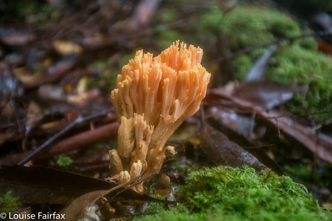
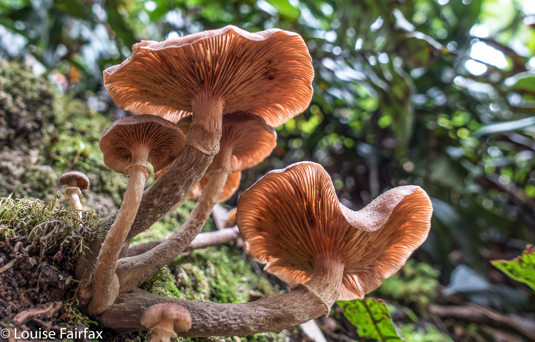
Snow fell as I edged my way carefully down the major boulder scree before entering the forest. The fungi in the moss down lower shone and glistened in their own captured water. Maybe next time I visit Picton I’ll get a full view.

Philps Peak 2017 Mar


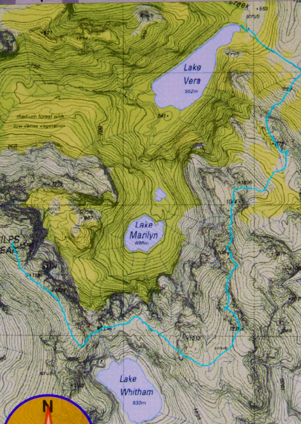
The story of Philps Peak begins as Day 4 of our Clytemnestra trip (http://www.natureloverswalks.com/clytemnestra/). On day 3, we had planned to climb to a beautiful spot near the summit of Agamemnon, but, most uncharacteristically for me, I had argued that the day was so stinking hot that it would take us hours to lug our packs up there, and that there would be no water for a day and a half if we went there, so we’d be better camping at the hut (Vera) and doing the climb as a day walk on the morrow. Angela agreed, but not with enthusiasm.


This little cairn marks the top of the first chute one climbs up on the way to the first hop, Agamemnon.
We chose a really beautiful camping spot – that is, the scenery was nothing particularly special, but the spot was secluded, set in forest with enough shade to cool but not enough to be dark. Birds and paddymelons visited us. It was just a very, very peaceful afternoon. Past ranger, Terry Reid, had donated a few bushwalking magazines to the hut, so I browsed through them, sitting in the forest on one of the many log-seats available, and organised my pack for the next day and chatted to the new people who later arrived at the hut and came past our idyll on their way to have a swim. I also had a lovely walk going back to the stream where I had noted that there was a waterfall that could perhaps be reached with a tiny bit of an offtrack detour. I was joined in this by new friend, Kent from Queensland, who also liked waterfalls and fungi.


We call these rocks The Four Ugly Sisters. They lack a name on the map. One heads to the left of them on the approach side.
On summit day, we set out nice and early to get in as much distance as possible before the real heat dominated the day. The light was superb, and we had about two hours where the air felt fresh and the light was clear before heat and glare took control. This means we got to the summit of Agamemnon – and even beyond, to where you first have to lose some height – in pleasant conditions.


Summit view. That’s Frenchmans Cap and Clytemnestra (far left) dominating the scene.
In between Agamemnon and Philps, in a saddle before you climb up onto the main ridge that leads to Philps, we found a truly nasty bit of scrub, where the forest was dense and unbendable and a pain to get through. At least the scoparia wasn’t scratchy (too tall for that), but it sure resisted our attempts to push out to the other side. This hiccup didn’t last too long, however, and we have both endured much worse than that, so it hardly marred the day irrevocably, even it did detract from perfection. There must be a nicer way through that stuff, but we didn’t find it in either direction. It occupied maybe thirty minutes of our time each way (guesstimate – I didn’t look at my watch; it felt like that amount of time, but maybe it was less).


Frenchmans Cap in all its glory from Philps. What a grand hunk of rock.
Once we’d negotiated that obstacle, there were no more difficulties. We climbed up a chute to the high ground of the final ridge, and walked along its pleasantly open line to the final summit climb, which was not challenging. The sun was right in my eyes every time I looked up to try to see where the best line might be. That was perhaps the most difficult thing we encountered.


Forest next day on the way out.
On top, the view was amazing. I couldn’t believe how far visibility extended. There was Barn Bluff, days and days away, and Ossa, Pelion West and East, High Dome, Byron, Cuvier, Olympus. So many mountains normally not seen together, separated by many days walking if you are on foot. It was grand.
We tried for a better line through the junk on the way back (of course), but I think this one was even worse. I got so entrenched in scoparia limbs that I had to take my pack off and push it along the ground in front of me while I crawled under the unbendable tangle of wood. I thought for a tiny while that maybe I was going to spend the rest of my shortened life right here. No direction offered the possibility of movement.


Yes, a few courageous (or ignorant / mistaken) fungi are out already, having heard that it’s autumn and not being aware that summer has just arrived.
Apart from that insult, the way home was uneventful. I was looking forward to a swim (yes, this is Louise writing) and ridding myself of these stinking clothes full of forest debris that had fallen down my neck as I tried to push a path through the bosky barricade. In the end, of course, I wussed out. I sat beside the little beach in my undies, staring at the cool waters, but letting the gentle breeze that caressed my bare skin do the job of cooling me down in the dense shade of that spot. It felt like a swim, but didn’t have the inconvenience of wet gear.

Clytemnestra 2017 Mar


Beautiful morning on day 1 to begin our mission.
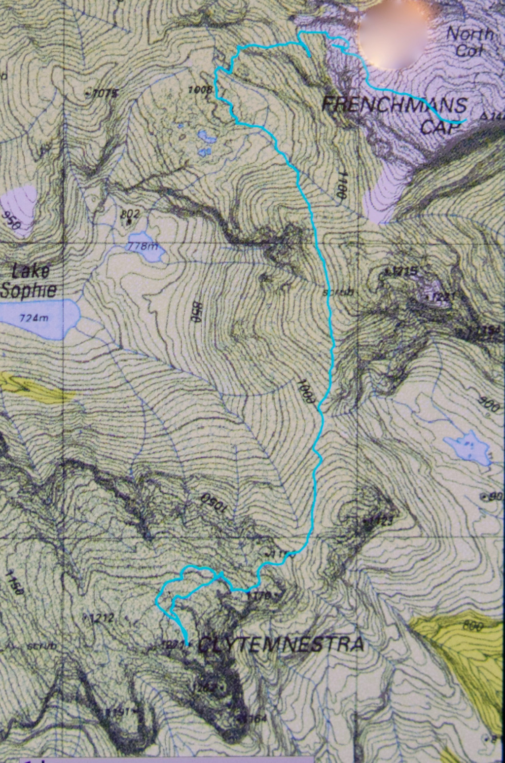
When I first heard that to climb Clytemnestra one needed to drop over the edge of Frenchmans Cap, I was filled with horror. Do you know the cliffs that shape the Frenchman, my reader? They seem formidable from any distance. However, the notion of climbing all the Abels had been planted in my brain by my former climbing partner, and had taken root there, and if I wanted to achieve that goal (still not sure, actually), then I needed to conquer any misapprehensions I felt with regard to dropping off the Frog’s hat.


Climbing Frenchmans
Off Angela and I set on the start of this little mission, past Vera Hut too early for lunch, which we had upstream. In case you’re also there in a dry time of year, I’ll tell you that the last water after leaving Vera is about 45 mins up the track, where it crosses the creek for the final time. We arrived at Tahune Hut  mid-afternoon in plenty of time to choose a scenic spot for out tents, to organise our gear, and to go swimming (Angela) or to chat with others (Louise). I must have sweated a lot, as I needed a copious and salty afternoon tea, staring out at mountains reflected in the amber waters of the lake.


Our plan for day 2 of our venture was to set out at 7 a.m., but at 6 the continuing sound of heavier-than-we-liked rain had us push back the time to 8, … and then to cancel the idea of climbing altogether. However, at 10 it looked as though it might be clearing, so we decided to give it a go. Maybe this was a recce, maybe this was a climb. Time would tell. At least it was some exercise for the day.


Getting near our goal by this stage
We were on top by 11, enshrouded in thick mist, but decided to continue this recce business a bit further, and to try, at the very least, to find where we’d drop off the cliffs on the morrow, perhaps saving ourselves time then. We attempted two chutes that ended abruptly in dead ends (excuse the pun), but on the third attempt, managed to negotiate our way down the slippery rock with success, which meant we reached a knoll near the two tarns at the mountain’s base, 1 hr 10 mins after leaving the summit. I was still in recce mode. Angela didn’t comment. On we pushed, now proceeding up the lightly bushed ridge that connected with the main Frenchman-Clytemnestra one, and then contouring around its belly to avoid unnecessary climb. When we rounded that bulge the mist cleared enough to give us a brief glimpse of our grail – way, way closer than I believed possible. Angela was now excited and announced that this was no longer a recce. We were climbing this thing and now. I would continue forward, but reserved judgement on the certainty of success.


The cliffs of Frenchmans, teasing us while we had lunch on Clytemnestra
Into the final saddle, with only some cliffs between us and the summit cairn, I still refused to believe. Up, right, up, right, we climbed, walked, climbed, walked, until, truly amazing: there, fifty metres in front of me was the summit cairn. Only then did I allow myself to believe we were really going to do it. Ceremoniously we approached and touched together.


The route back to Frenchmans. We thought the mist was clearing!
We had lunch on top, watching the mist swirling around us, every now and then allowing a teasing half-glimpse of the silhouette of Frenchmans. At this moment, when I decided to consult my phone which had been tracking our route, I discovered that the battery was basically dead and I couldn’t even see the screen. Our homeward route was thus concealed, but, no worries, we have memories. Off we set.


We have to go over Frenchmans (back) before we drop down to our tents.
There were no mishaps until it came time to choose which chute we needed to use to climb back up onto the main massif. At that time, the mist was particularly thick: visibility was zilch, and it felt like hours later than it actually was, with so little light penetrating the thick clouds. I did not like this at all. It felt like these conditions were set in for the remainder of the day, and we would never be offered a glimpse of a possible route. We were in a nasty cliff maze with no perceptible way out.


Eerie light as the sun tries to break through (before giving up again).
Luckily, before we left home, I had emailed Hobart Walking Club and received a gpx route, which I had transferred to my phone, and forwarded to Angela, who had also downloaded it. Now was the moment to consult this route on the phone that still worked. We could see the other club-member’s track, and our position relative to it, and note that we needed to contour a bit to the east before we would intercept it, and then follow it due north for about 150 ms, when, with luck, an attractive chute should reveal itself. It did. The feeling of relief as we emerged on top, and I knew that we just had to keep climbing – no more chutes, no more difficulties – was enormous. As we climbed higher, safe and sound, mission successful, a kind of golden circle where the sun should be coloured the mist and lent the landscape a temporarily yellowed hew. Everlasting daisies, in funny, closed cups, shone silver in the tinted light.