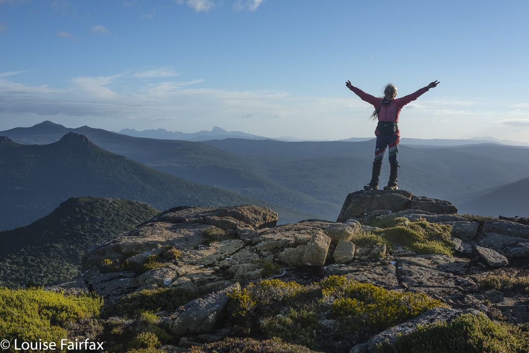
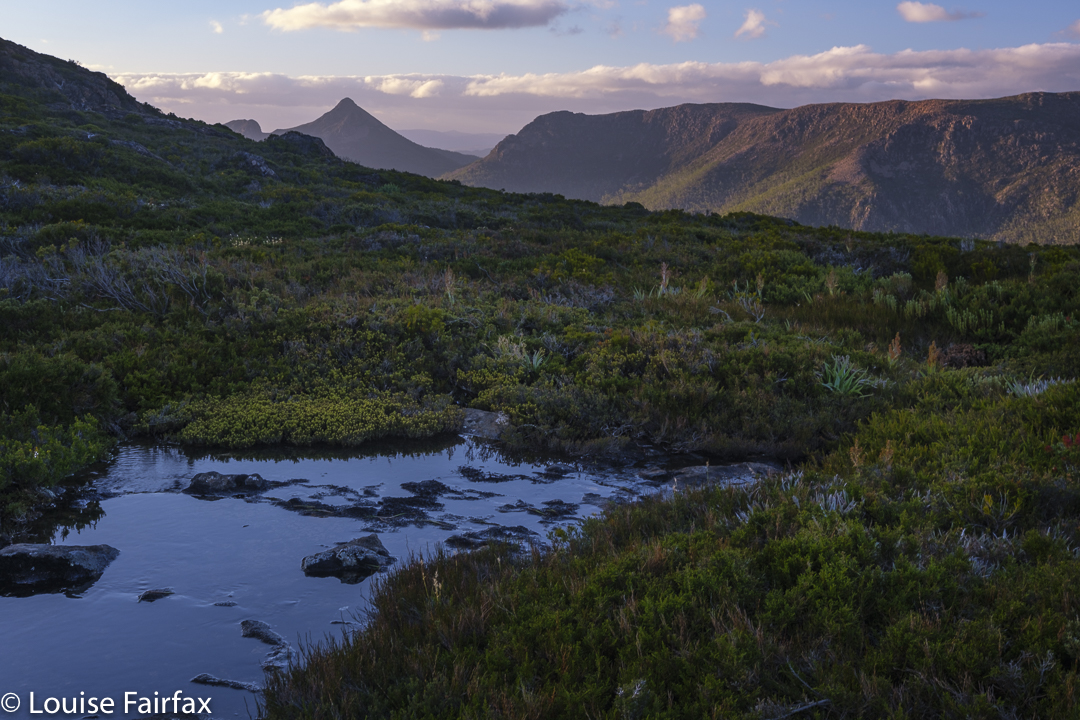
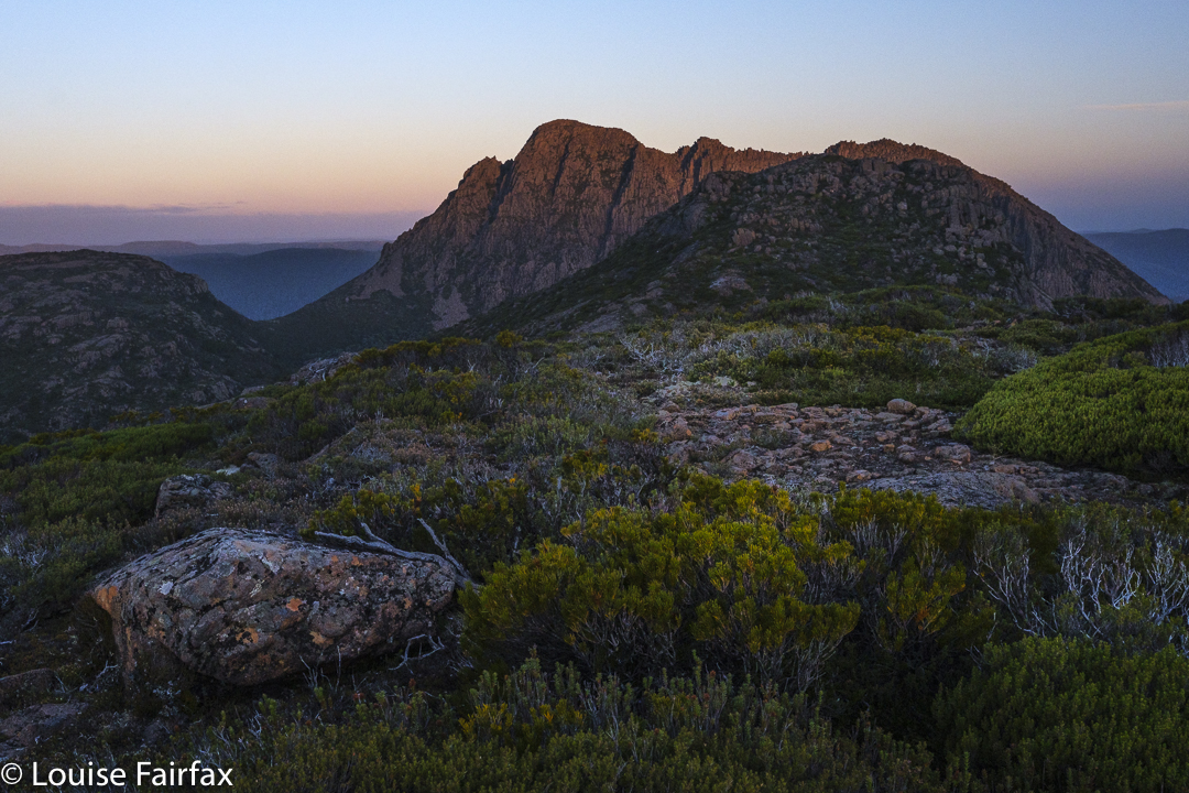
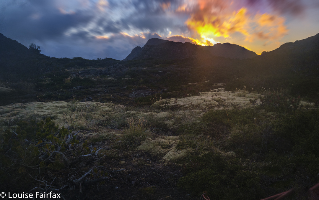
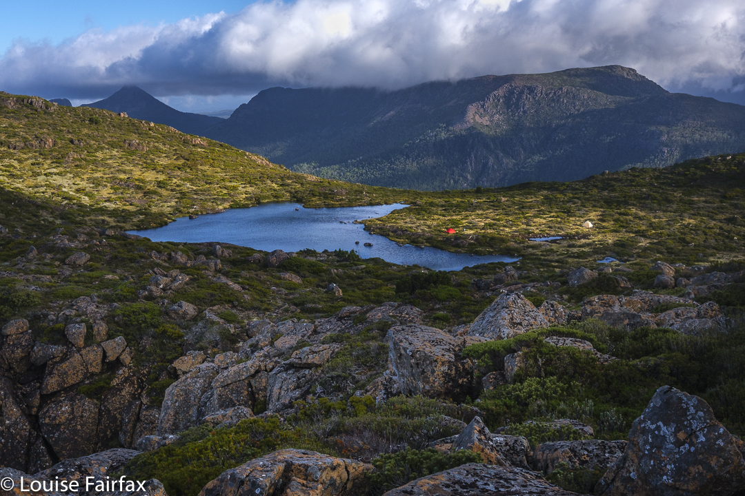
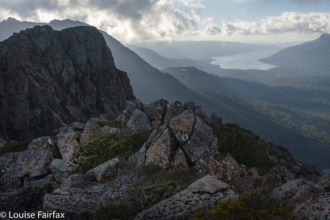
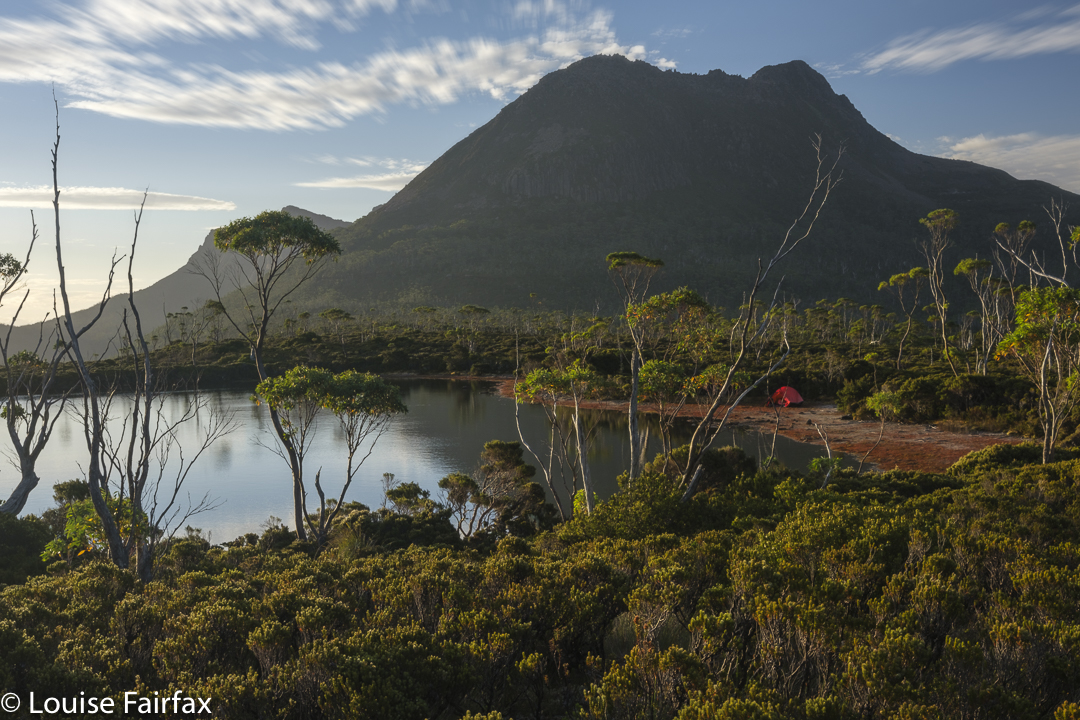
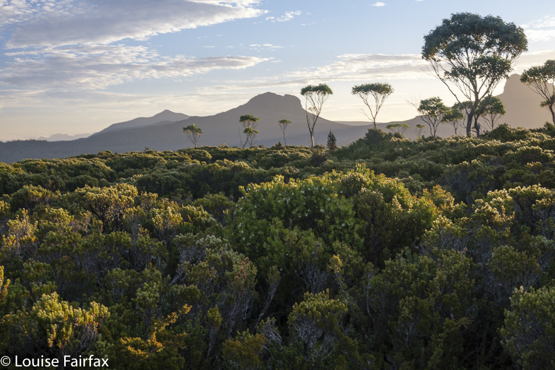
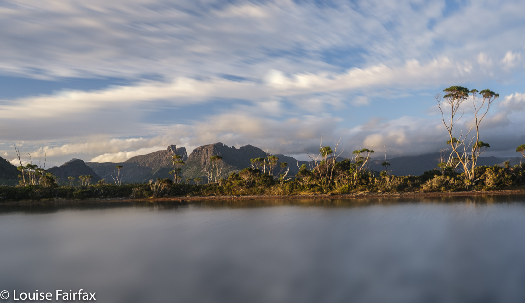
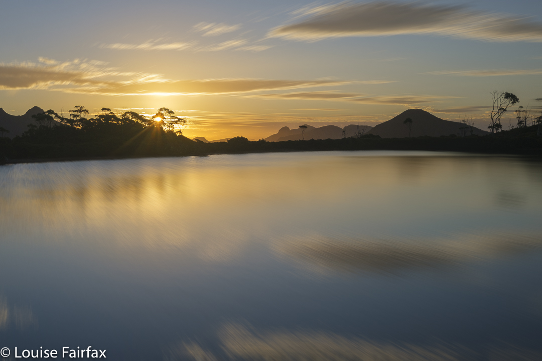
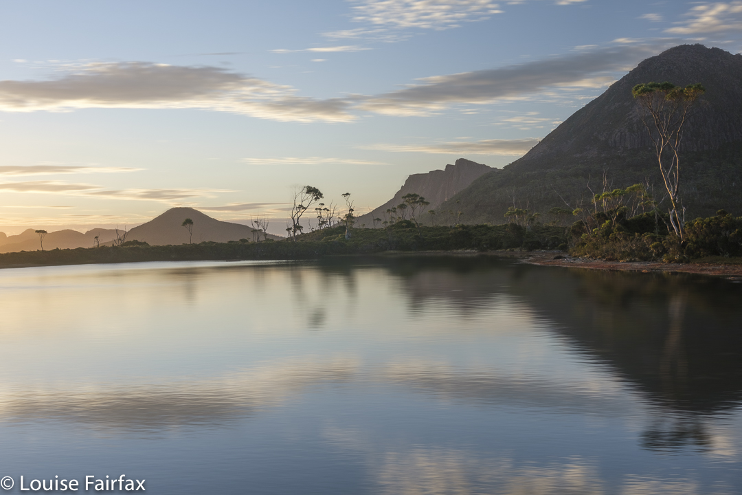
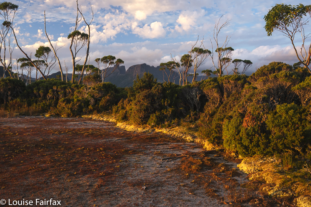
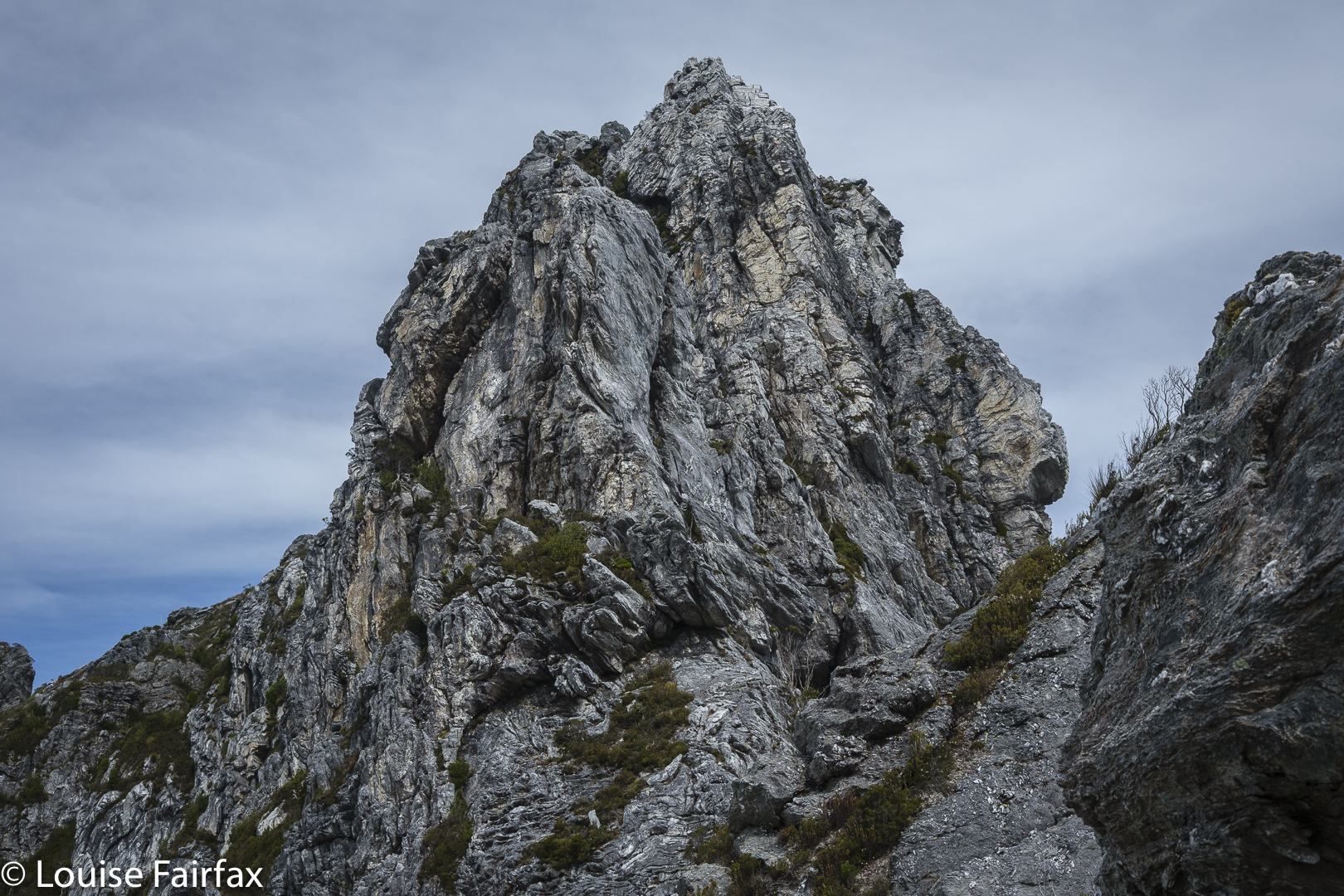
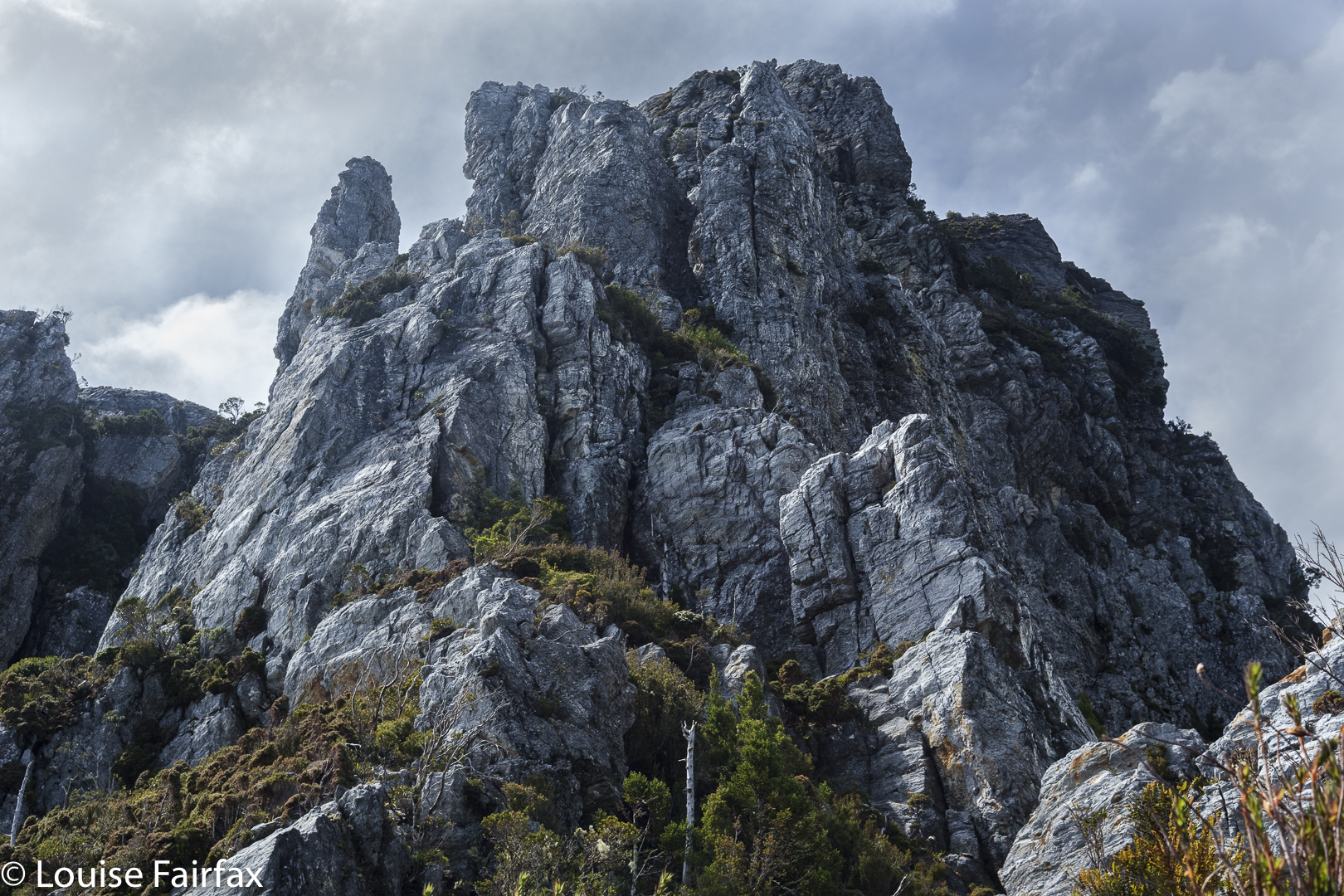
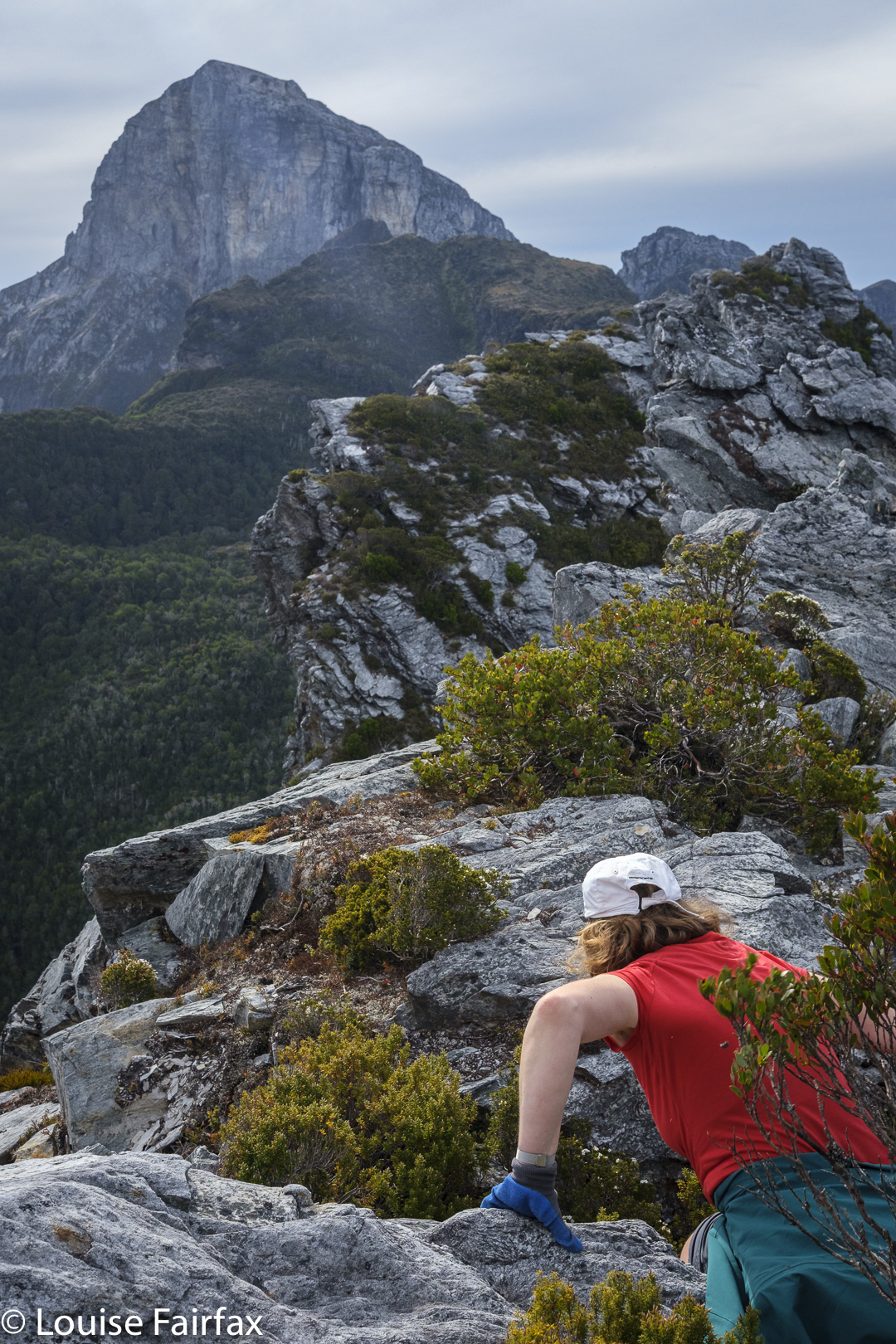
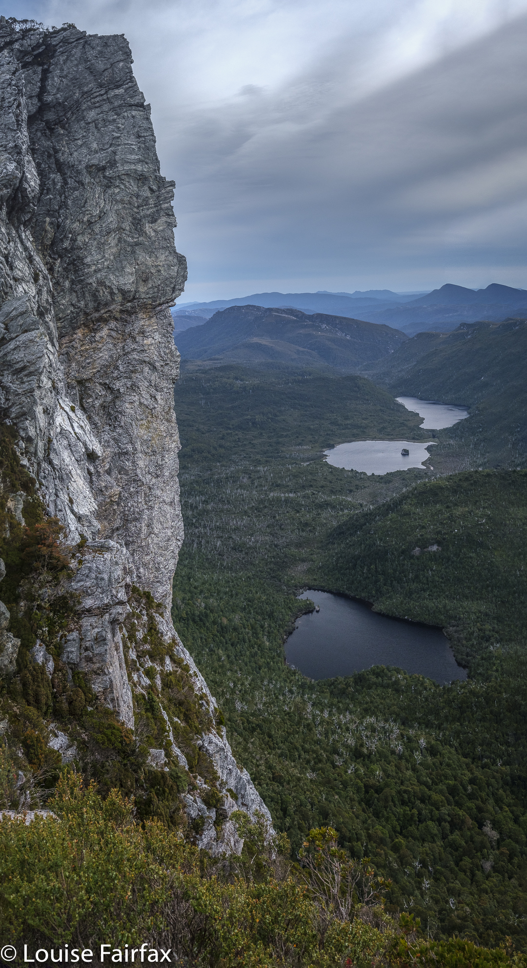
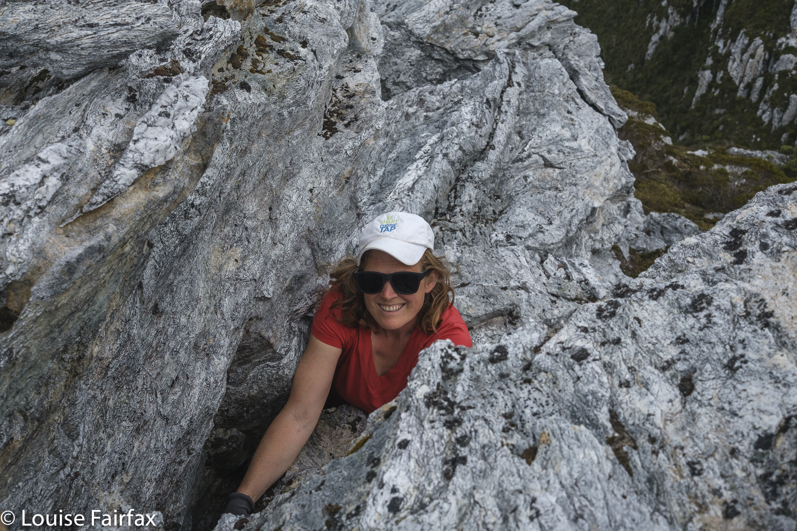
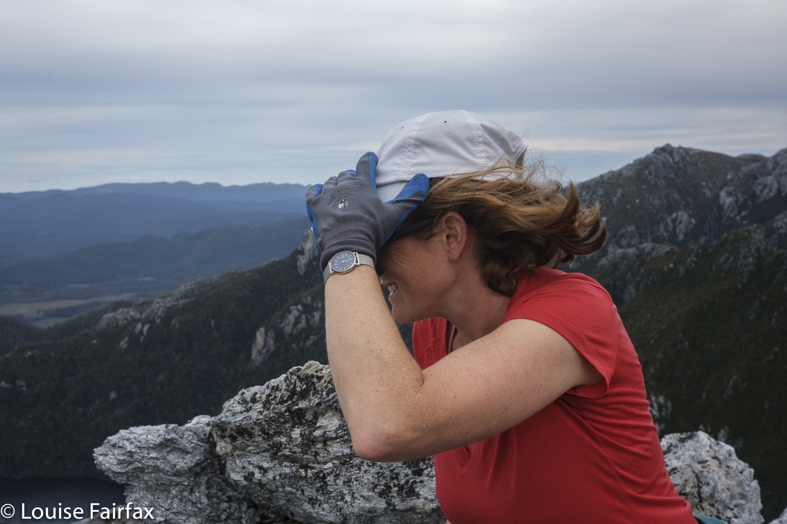
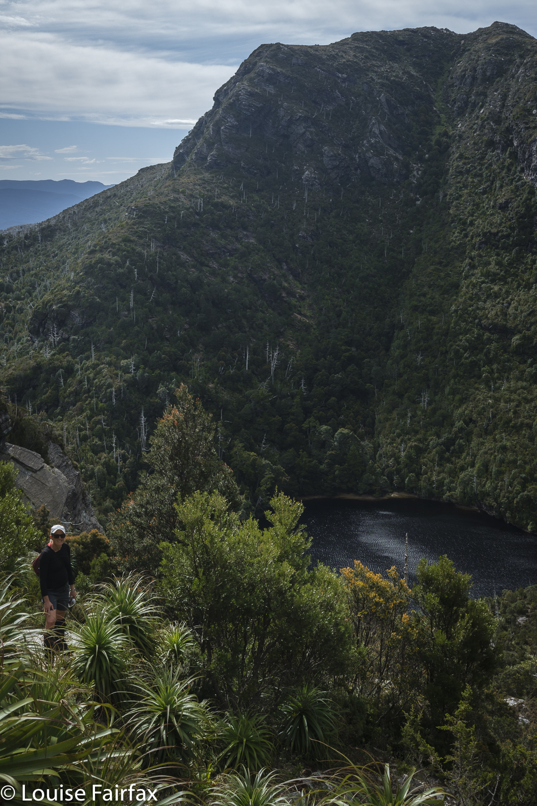
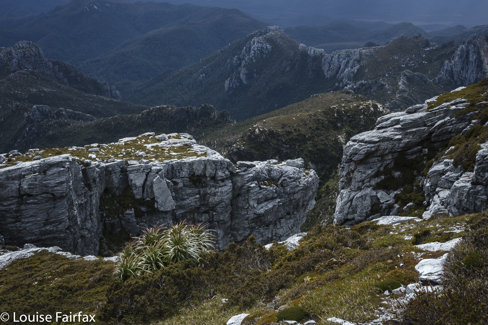
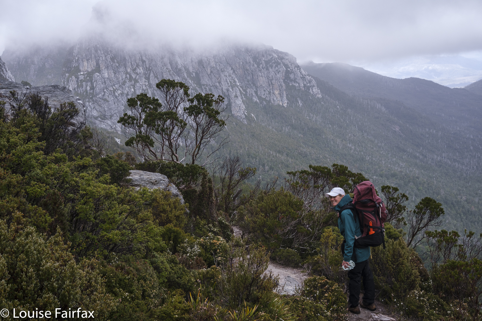
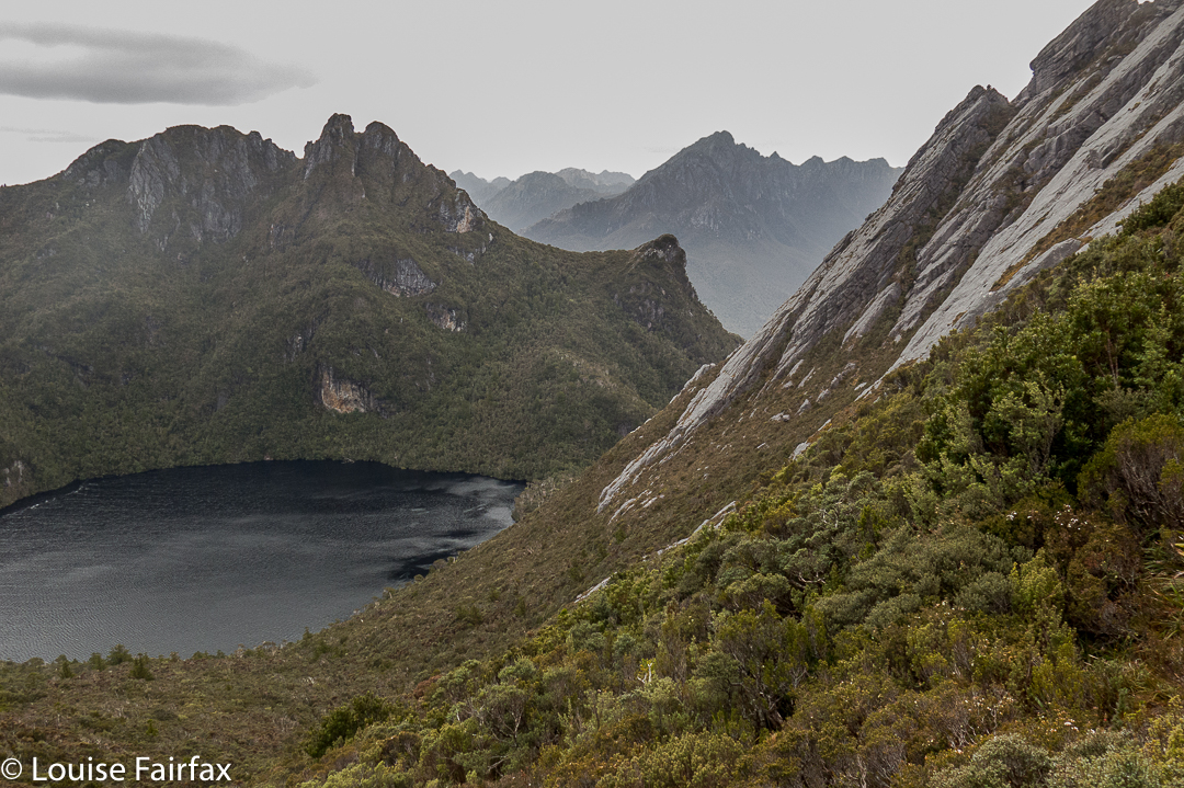
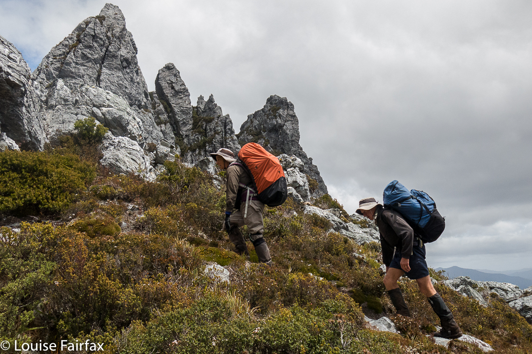
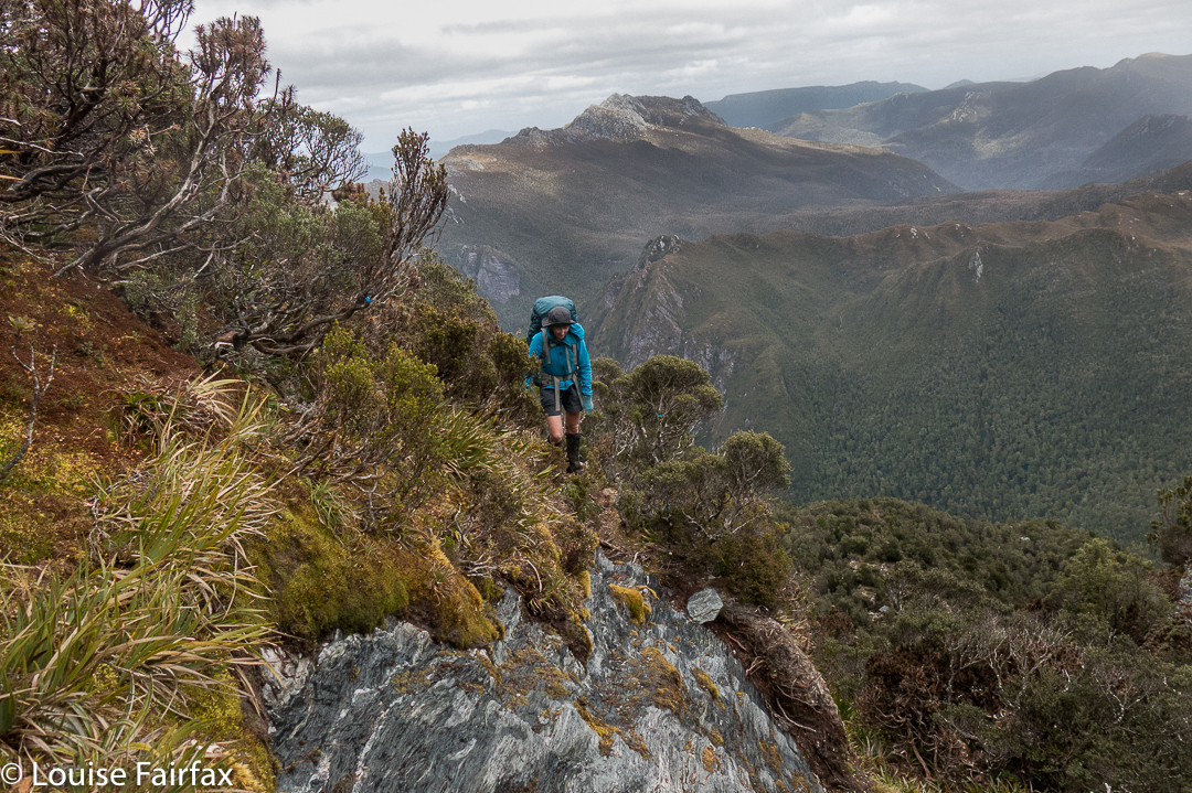
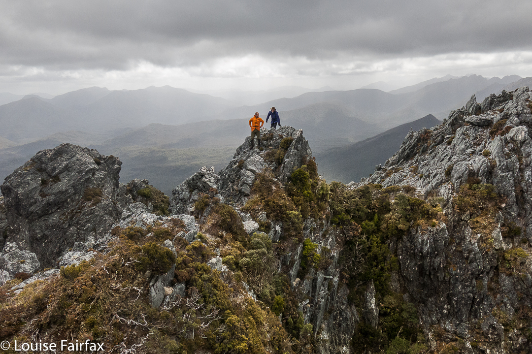
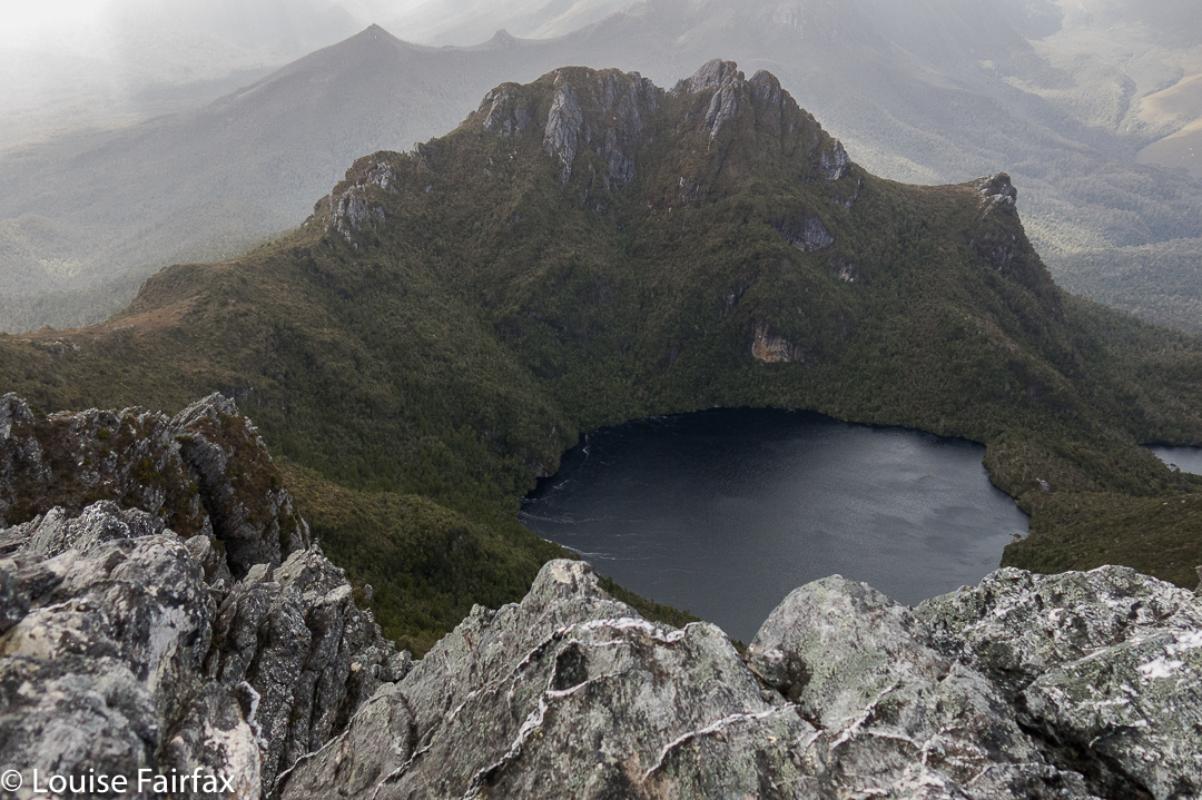
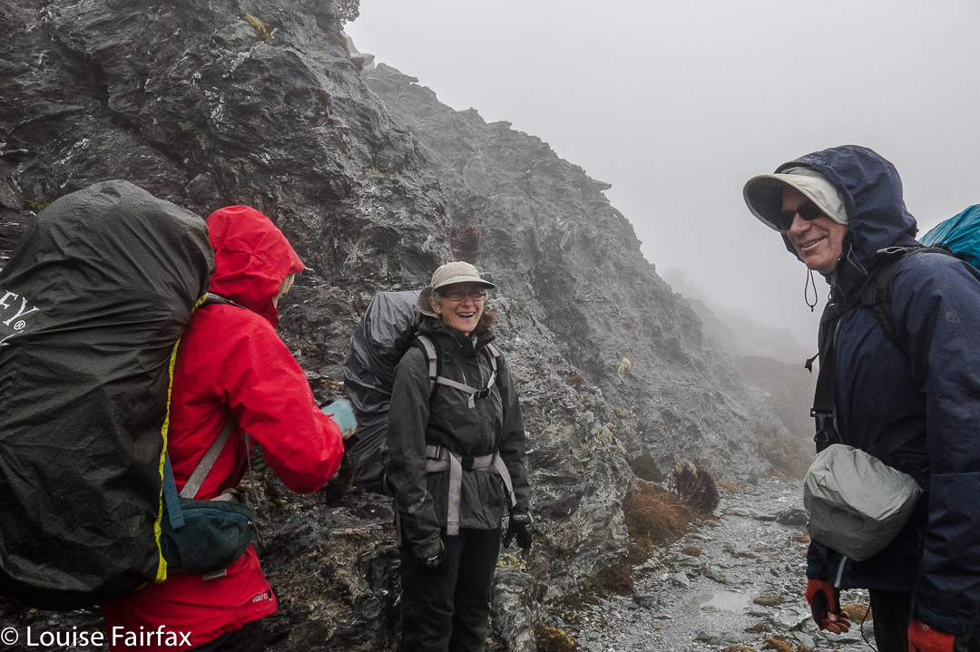
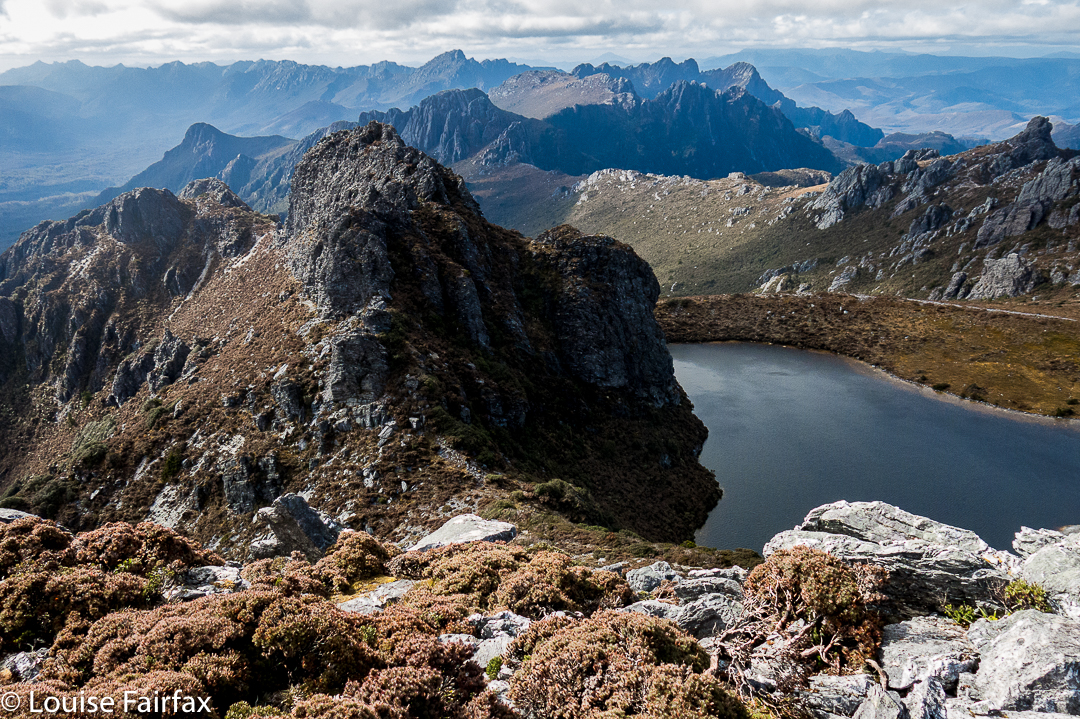
Trestle Mountain

I am getting good at third climbs. Thurs-Fri, I slept on Mt Rufus with a friend for my third climb of it (see blog below this one), and next day, Kirsten, Gussy and I set out to climb and sleep on Trestle Mountain. For me it was the third time; for Gussy the second; and for Kirsten, whose choice it was, it was the first, which is why she chose it.
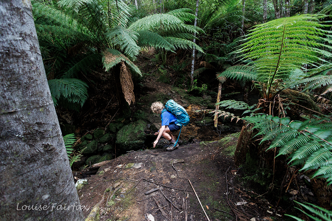
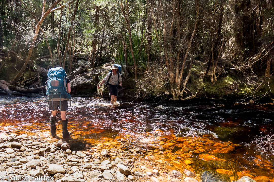
First creek crossing on the way to Trestle Mountain

I am delighted to report that it never occurred to Gus for a single second to be reluctant to go on the grounds that he’d already done it. He reads books many, many times over and has no problem with repeat mountain climbs. I actually find this a very important character trait. People who always need something new, who dislike something on the grounds that they’ve already “done” it are the ones who bother me. (HATE that world “done”.)
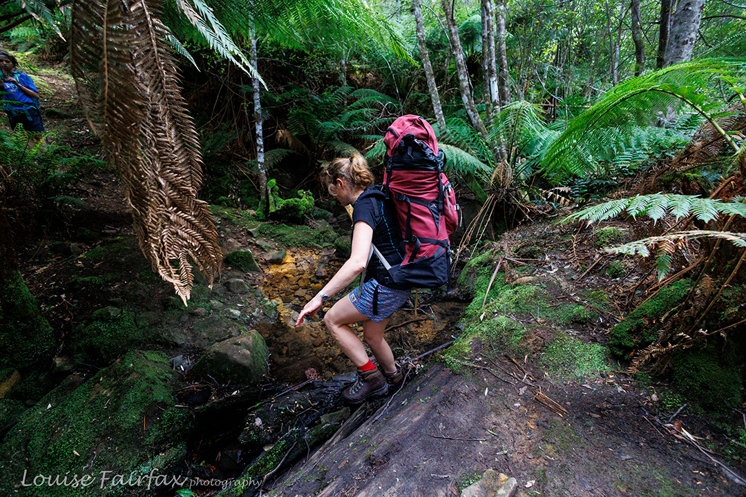
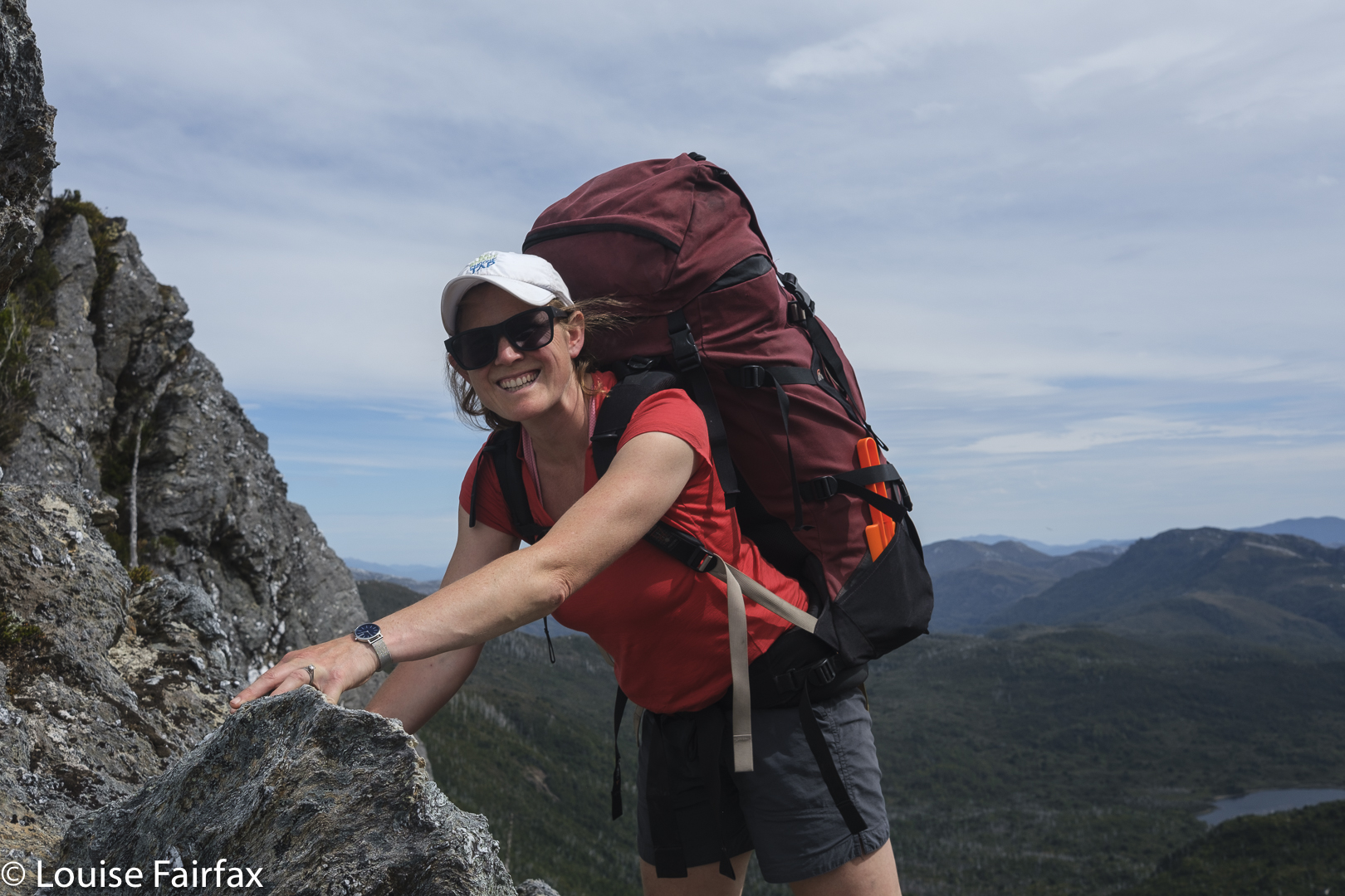
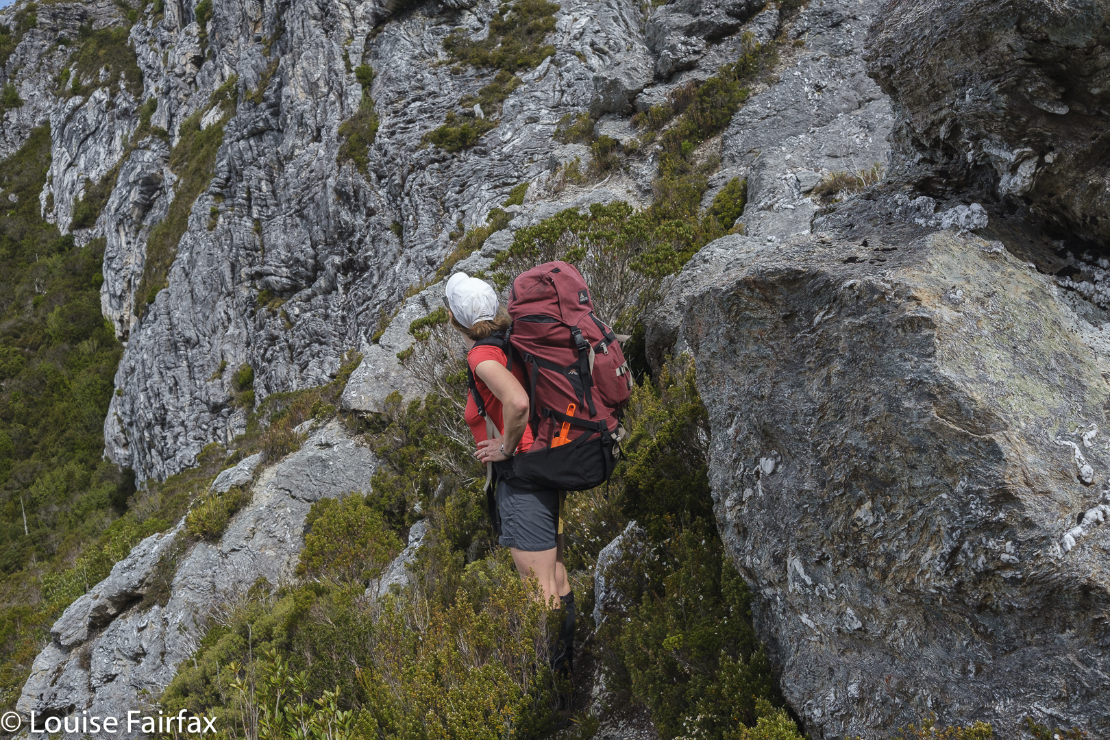
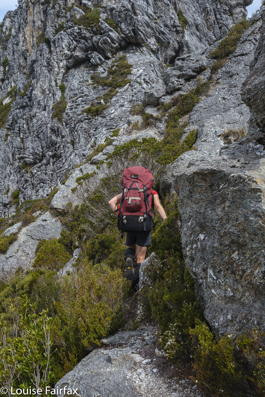
The pack isn’t just big: it’s heavy too! You have to be prepared for that taking young children bushwalking.

In actual fact, the three of us were supposed to be rogaining this weekend, but it had turned into an event requiring goggles, flippers, a wet suit and possibly even snorkels, and the organisers had decided to cancel. So, we had a weekend that had been kind of dedicated to a threesome bush adventure, so decided to combine my love of sleeping as near to the top of mountains as possible with Kirsten’s desire to add another Abel to her collection. Off we set.
Gus is only in fifth class, and it is hard work climbing Trestle right from the base at Mountain Creek with a pack on, but that is the route we decided on, it being the most beautiful – and, as all of us enjoy a good workout and lovely scenery, that is the route we chose.

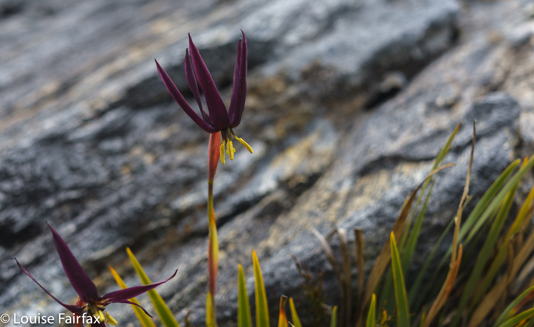
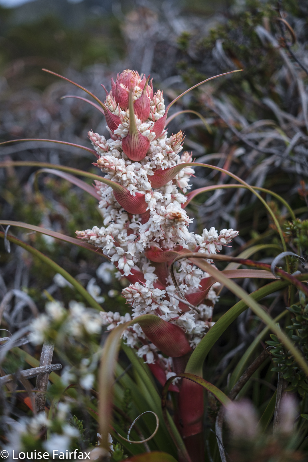
Richea dracophylla Trestle Mountain. I was surprised to see them this late.

After 35 minutes, we gave Gussy’s shoulders a break, and after 46 we crossed the first creek. I decided that, even though we’d just had a break, we should have a drink, so we took the packs off again and had some fresh running water. If my memory serves me correctly we didn’t have another shoulder break until the 2 hour mark, when we found a spot incredibly suitable for camping. It was definitely time for food and a drink, as well as a shoulder rest, but while the other two rested properly, I went off to search this spot for camping possibilities. It was ideal in one sense – it was flat, with running water and smooth ground for both tents – but we weren’t on the mountain and we didn’t have a view. I was not completely happy.
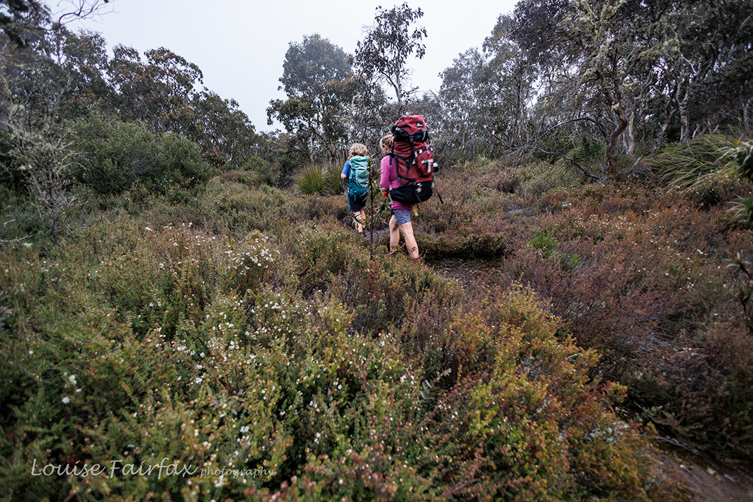
On the high part

I suggested they stay there while I go up further. I was sure we were about to top out any minute, so I’d see if I could find a spot up higher that suited. Off I set. It was further than I thought (12 minutes more), and then I had to explore all around the place. No spot yelled out that it was perfect, and all spots lacked the essence of beauty, but I could feel the fresh air of being on a mountain, and although it was all closed in weather-wise so there was no view, it still had that feeling of space around it that height generates. It looked like the tripod would stay in the pack yet again. Sigh.
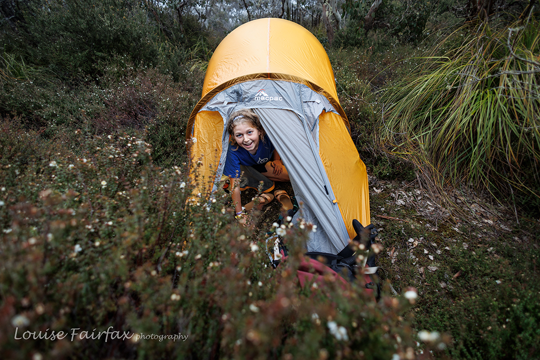
Happy boy in a tent

I started back down to report on what I’d seen, and there they were. They are like me, and would much prefer to walk and explore than sit and wait. Seeing’s we are talking about my daughter and her son, that is hardly something to be marvelled at. Genetics will out. I showed them my spots. Kirsten used her power of veto, so we explored some more. She examined a patch of pineapple grass, but Gussy and I saw a kind of clearing, headed for it, and discovered what we felt was the perfect camping spot.

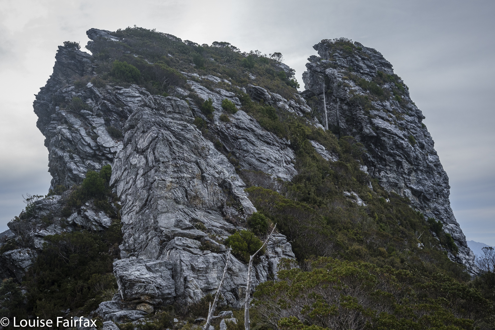
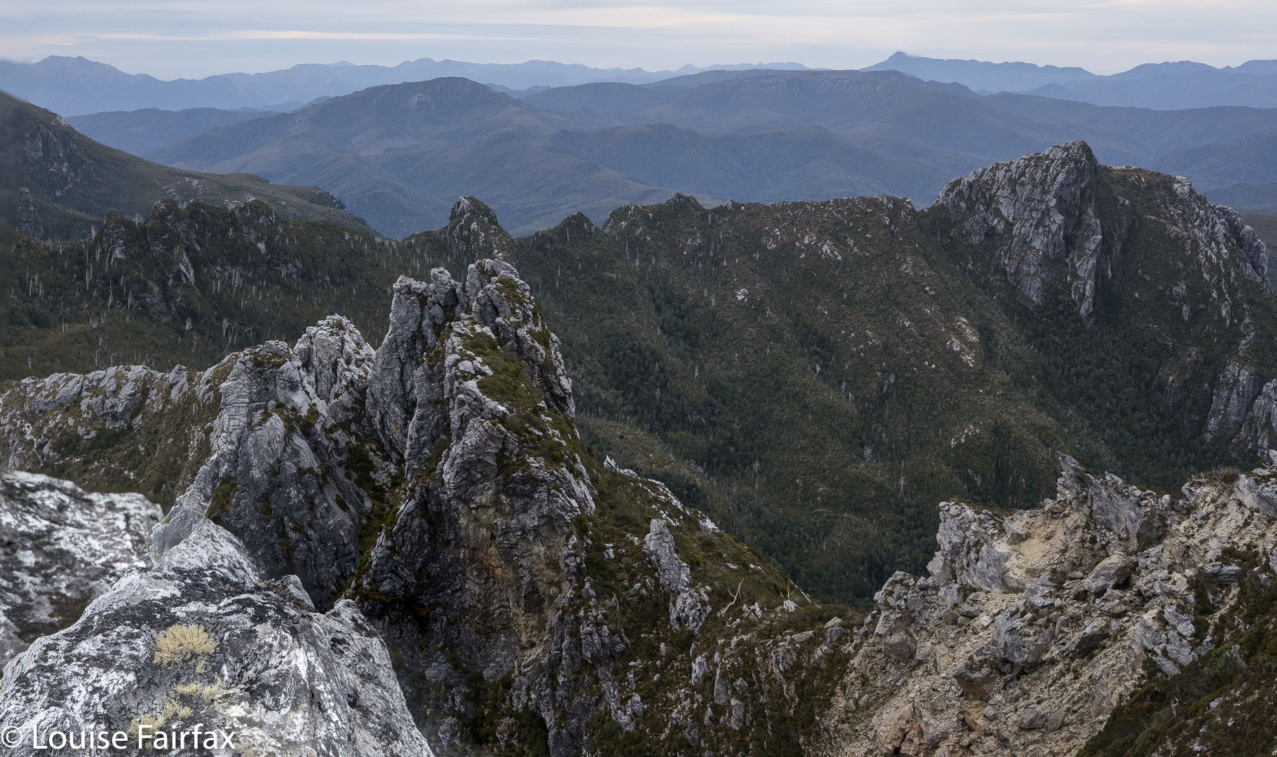
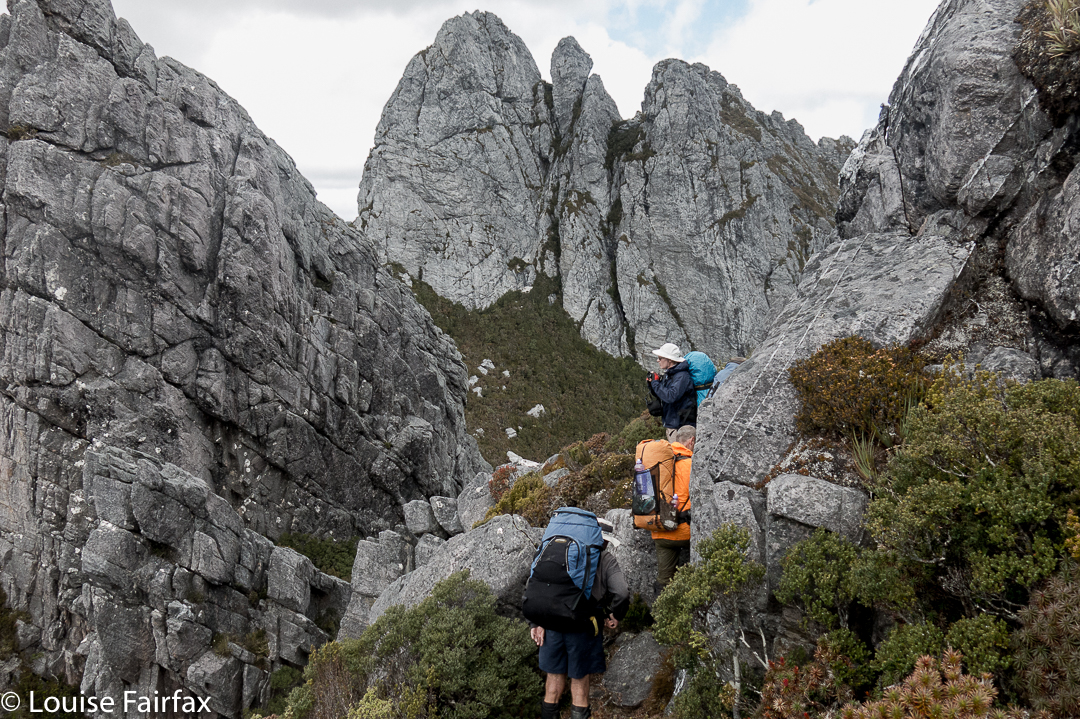
Nearly on the summit

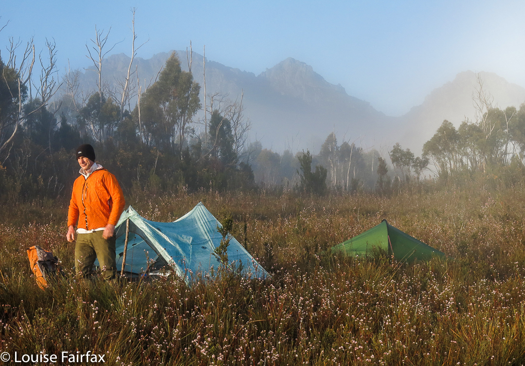
There had been snow up ahead on Collins Bonnet, but there was no snow here, which was a bit disappointing, but everything else was perfect. We pitched our tents, collected water, cooked and ate dinner, and then played Hannabi, a favourite card game, before it was time for bed.
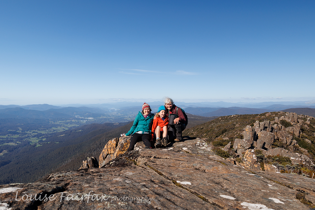
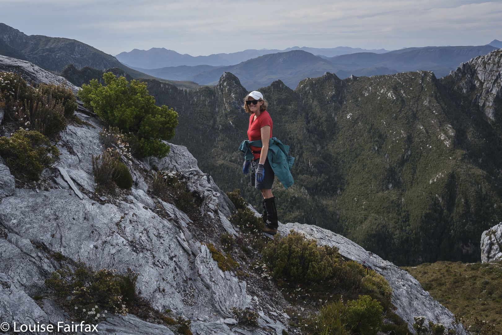
Happy family beside Trestle summit

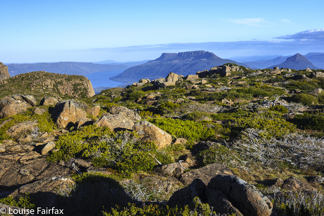
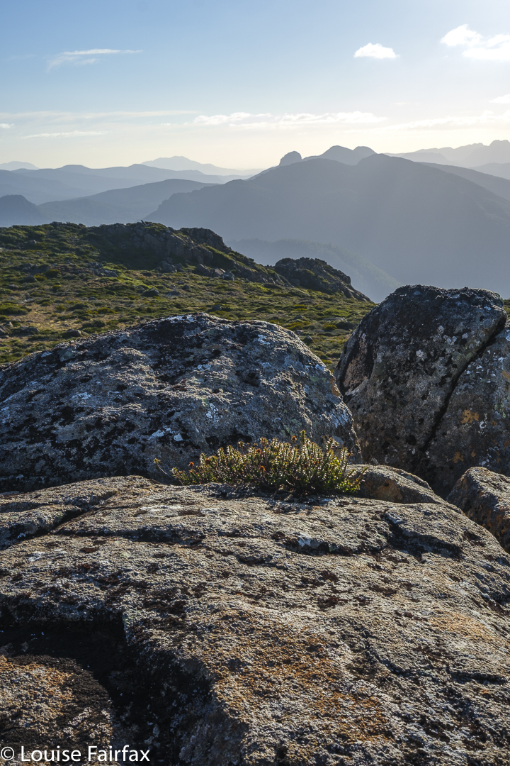
The next morning was very misty and raining a bit, so we didn’t hurry at all, but were on the summit well before 9 o’clock, so Gussy was happy that some of his friends might still be in bed, but he’d already climbed a mountain. It was foggy and cold as we did the last bit from the tent to the top, but it cleared while we were playing around on the rocks, so we did get a view.
The sun was now shining, but we were still cold back at the tents, so decided to have hot soup before descending. Kirsten’s pack was very heavy indeed, and mine was not light, so divesting ourselves of that tiny bit of extra weight was also welcome. Meanwhile, we had managed to eat a whole box of chocolates that I had brought up, so that helped my cause.
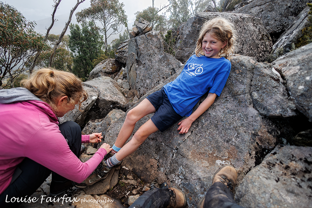
He may do great things, but he is still a little boy

When I asked Gus during lunch (had at his choice of cafe back in Hobart) what were his three favourite aspects of the walk, he said, in order: camping, being on the summit, and singing all the way down.
For some reason I had asked Kirsten what was the carol that the Christmas Eve service always started with, and instead of telling me, she sang. Gus and I stopped in our tracks to listen to her pure angelic voice giving us the boy soprano rendition of Once in Royal. Tears came to my eyes, and I could see Gussy was also affected by the beauty of what he was hearing. Kirsten prefers alto, but she sure did the soprano part justice here. We then sang canons and rounds the rest of the way down, in a pretty high key for Gussy, as he has a gorgeous little soprano voice too.
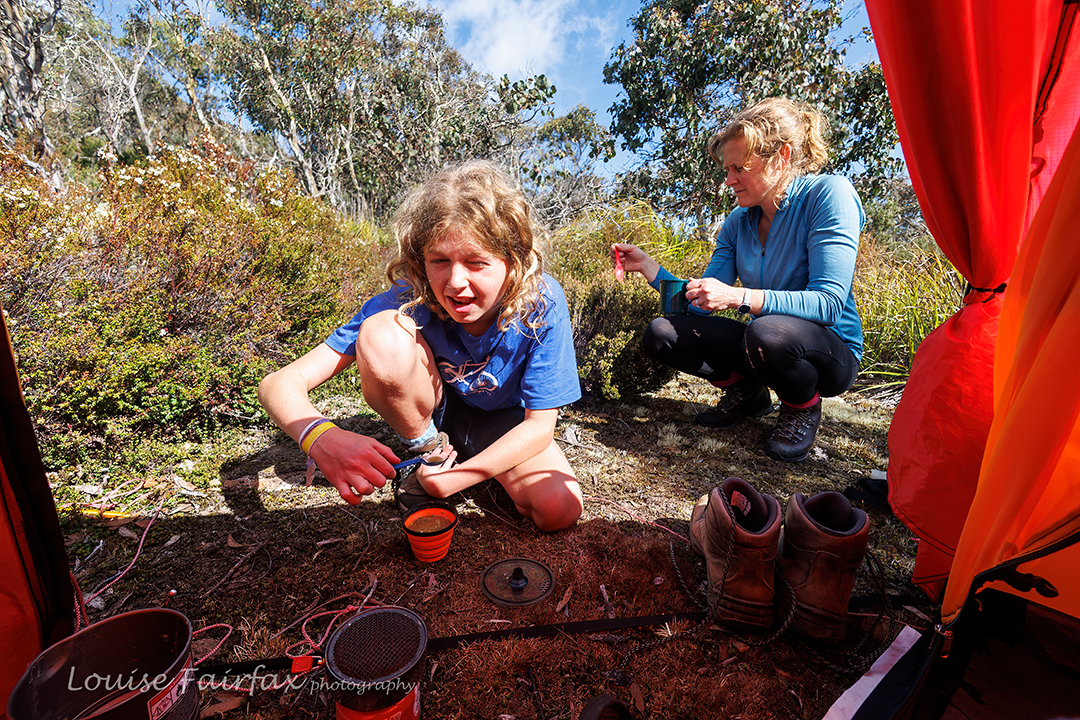
Gathering around my tent for soup to warm up.

I think his favourite two were (1) “Black socks. They never get dirty / The more that you wear them the better they get.
Sometimes I think I should wash them / But something inside me/ Says No No not yet, not yet, not yet, not yet”.
(2) One bobble bop etc for those who know it. Both have primary school humour.
Before we’d blinked we were back at the car and nobody had asked for a break. Singing while you walk does that. Bruce and I always used to sing on bushwalks, and it took me back to many, many happy bushwalks of yesteryear.
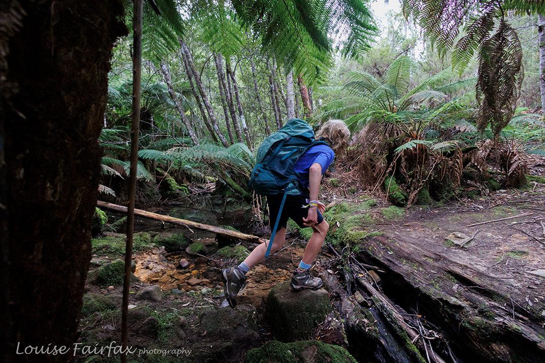
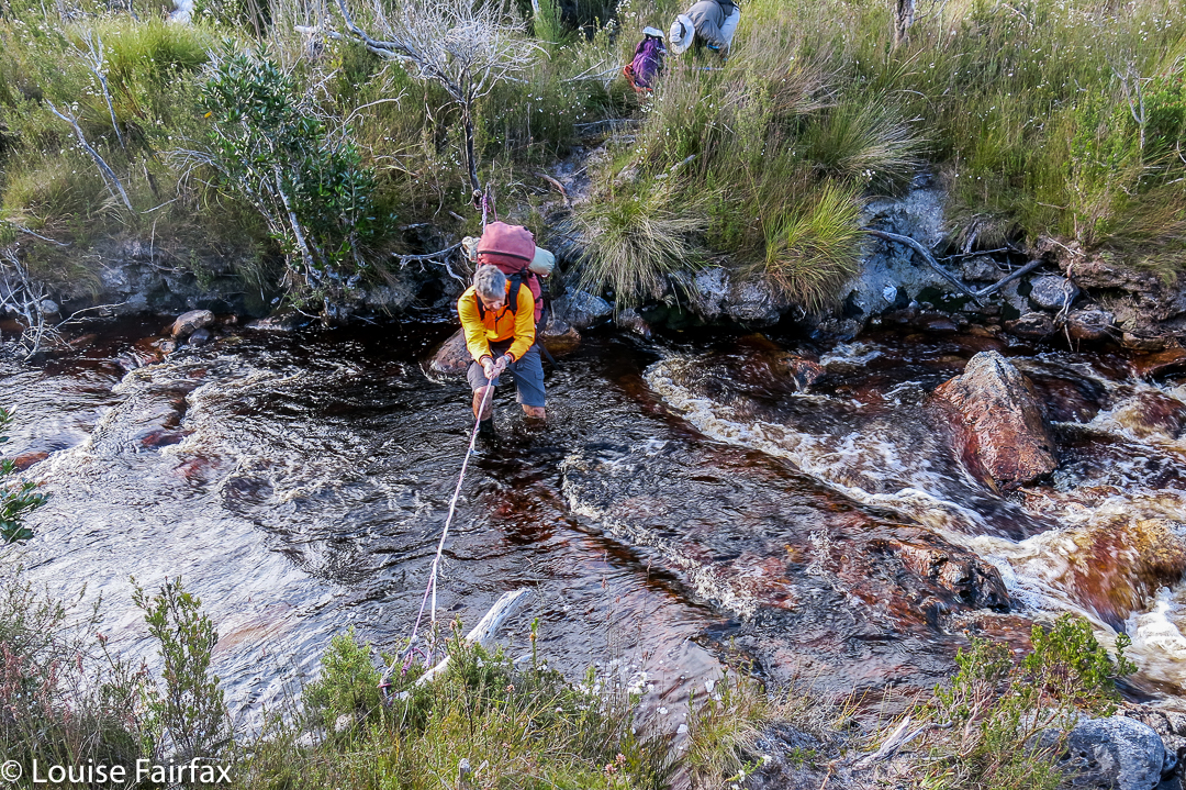
Last creek crossing

Back when I was pretty fresh out of uni, I started a bushwalking club for inner-city, concrete-jungled girls (Sydney). We used to sing around the campfire, and we would make up songs about the hike to tunes that we knew ,and sing as we went along. “It’s a long long way to Blue Gum forest” remains my favourite.

Guardians, Gould 2022

What do you do when you’ve finished climbing all the Abels? Why, you go straight back to revisit your favourites, of course! Don’t you? Well, I did, and do.

Fast forward: Guardians summit

I had already begun on this delightful mission, as some favourites were a lot easier to reach than some of the ones I hadn’t yet climbed. This week I continued with favourites, and reclimbed Mt Gould and The Guardians. For at least ten years I have wanted to sleep by the tarn near the summit of The Guardians, and also on Gould Plateau. This would be my third summiting of Gould, and my second of The Guardians. All previous climbs had been far too fast. This time, I wanted to linger up high.

Guardians summit to leeawuleena and Mt Olympus

These two mountains are rather close to each other. My bash buddy and I had two full days and nights at our disposal, with a booking on the 9 a.m. ferry on day 3. The way to organise this dream then was to have a very long day 1, a super-cool and relaxed day 2 and a dash for the splash on day 3.

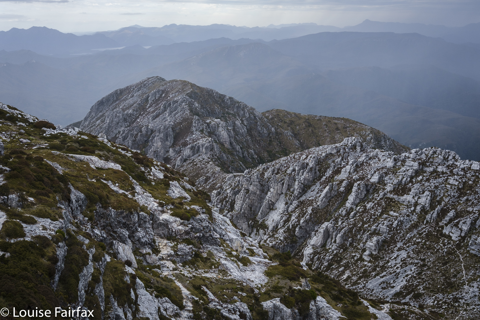
Guardians summit view

I got to enjoy a beautiful dawn at leeawuleena (Lake St Clair) before day 1 officially began with the ferry ride, so I was already floating with beauty (and had already taken far too many photos) by the 9 a.m. journey to the end of the lake with other excited walkers – all except us from interstate.
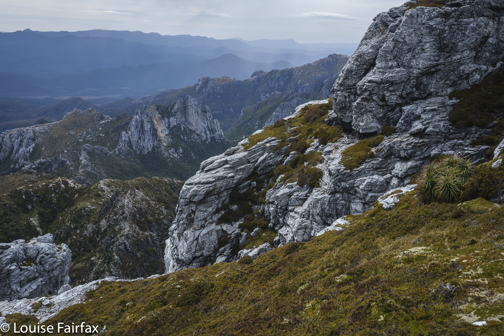
The first two splits were nice and quick, and we were at Pine Valley Hut after only 2 hrs 6 mins’ walking.

Guardians cliffs Louise

By the time we climbed to the Parthenon saddle, the day had started to warm up. I was still in my famous pink (now maliciously torn) coat, and overheated terribly, but we were setting a great pace and still had heaps of distance before us, so I didn’t feel like breaking the rhythm by stopping. I like doing climbs without interruption, so I sweated a fury and just put up with the heat. I was glad to breast the final bump to the saddle, throw off my nuisance pack and have a welcome drink. Were we half way yet? I fear not.
The day got hotter, so the going got tougher. We carried a lot of water for the next section over the Minotaur, knowing there would be none until we reached a basin beyond the summit, near the Minotaur-Gould saddle.
Tent spot evening

As we approached said basin, we saw rather a lot of tents down there in the middle of nowhere. It was a bunch of Victorians, most of whom were recovering from what they described as a horrendous bush bash the previous day around the belly of Gould – a patch I have done twice already, so know what they were talking about. Their voices and faces said more than their words about how they felt about that section of their trip. It can certainly be an unforgiving area, as we would re-experience next day.
Tent spot evening

Most of them were lying in the sun, relaxing and enjoying the calm while two of them were climbing The Guardians. They were nice people and there was water there, so we tossed off our packs and spent at least half an hour chatting to them. My watch said we now had oodles of time. All need for haste had long-since vanished. We reckoned it would only take another hour or so to reach the summit of The Guardians from there, so forgot the watches and enjoyed the company of fellow walkers with similar interests.

Dawn next day

Eventually we bid farewell and set off for the final section. Unfortunately this lasted a bit longer than expected, as my stomach started cramping and I felt very sick. Twice I needed to lie in the grass to alleviate the pain. We have decided the puddle in the Parthenon saddle wasn’t as pure as its clarity suggested. Anyway, I was sure glad to see the tarn, dump my pack, pitch my tent and be horizontal for long enough to soften the cramps. It all eased surprisingly quickly, so we decided to summit while the going was good, play around the cliff tops for a little and then have dinner as the final act of the day.

Tents from above

Of course, it wasn’t my final act, and after eating, I set back out to photograph, but I was glad our order of events had been what it was, as the temperature was already dropping to be near its promised minus one over night, and my hands were freezing; the wind was cold. Later, my tent would flap noisily for most of the night. I was too lazy and warm to go out and tighten the guy ropes until about 2 a.m., when I decided enough was enough, and left my warm and cosy aegis to attend to the noise.

Moody cliffs

We had no busy agenda for day 2, and I am not sure that I’ve ever had such a slow first half of a day. I observed sunrise mostly from the comfort of my tent (it wasn’t magic) and then had breakfast cooked in the vestibule, looking out my peep holes to see how the day was progressing.  It was time to depitch, but my tent was sopping, and so was Andrew’s, so we went for an explore along the cliffs not yet visited to give the tents time to rid themselves of heavy water.

New tent spot

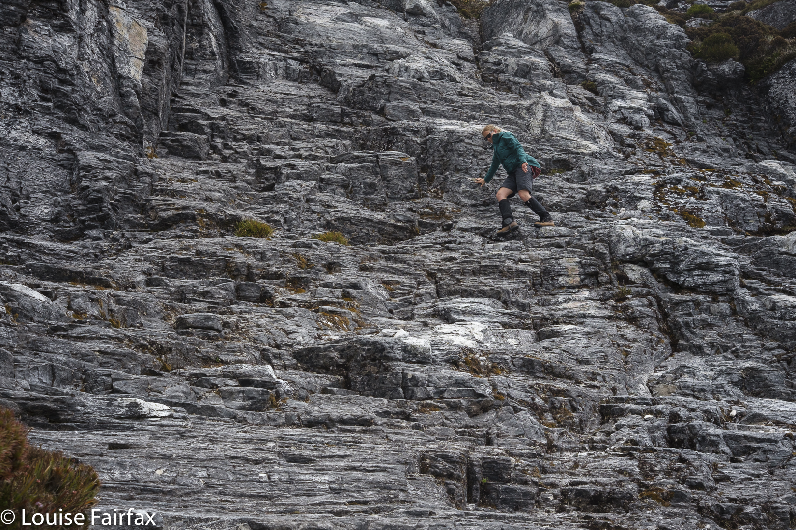
Well. That coped with the problem of what to do with a long day and not too many kilometres to fill it. We didn’t reach the pack dump point on Gould until 11.30. I hate going uphill slowly, so we didn’t loiter on the “straight-up” climb, where I was in my element doing what I call a pussycat climb – all four limbs working like a feline. The trip down was more like a huge slide at the playground. Loved it. Nice and quick!

New tent spot

We still had a huge number of hours to fill in and even less distance to cover, so strung out lunch. It would have made much more sense to continue on to Narcissus, but I had my heart set on sleeping up high. I told Andrew to feel free to go down and I would join him on the morrow, but I really did want to sleep high.

Playing in the evening

Well; I managed to fill in at least one of those spare hours by landing us in a shocking patch of absolute, unadulterated YUK. All was going just fine. I’d led us around the belly in the bushes very nicely, and then we’d dropped down right on cue to a beautiful mossy gully area. Then along. And then we found two random pink tapes running perpendicular to our line of travel. I checked my map. No, we weren’t to go up or down here, as suggested by the tapes, but we explored both up and down on the off chance. Both led to blockades of scoparia. But, … so did straight ahead. There seemed to be no nice way to go anywhere. And why on earth were there two tapes here in the middle of nowhere, with no beginning and no end? Where was the taper going? It was very confusing.

Sunset arrives

We to’d and fro’d  and up’d and down’d and were irretrievably stuck. I got out the gps where I had tracked the route the last time I had done this. We were on it. Oh. Yuk. We shoved and pushed, we climbed over the top of bushes, grunting and heaving our way to nowhere much. But, if you shove for long enough you kind of get somewhere, so eventually we got to the plateau below.
I was absolutely exhausted in a way I don’t often experience. My hip flexors and glutes were aching even without taking a step. I was absolutely done in, and very glad that my planned bed for the night was only a shortish distance away. Any snail on the planet would have beaten me as I inched my way to the tarn.

Sunset

Hoorah. There. Andrew didn’t like my tarn, so chose a spot that he felt was more sheltered and more comfortable and a tiny bit nearer to the next goal of the ferry. My spot was chosen for its photographic opportunities. I wandered and shot and had a lovely evening, singing seeing’s I had the freedom to do so.

Evening glow

The next morning involved an early start, as we still had what might possibly take two hours to do (it only took 1 hr 38, but you need to allow for emergencies). I passed Andrew’s tent spot, but he had left earlier (we had agreed to meet at the ferry and not at his spot), so it was a crisp business-like stride-out down the steep slope and along to the ferry. I only stopped for photos once, when a beautiful patch of Aurantiporus pulcherrimus specimens caught my eye. My legs seemed to have completely recovered from the previous day’s scoparia battle. I still have bruises and scratches to remind me that it wasn’t all easy, however.

Sharlands Peak, Frenchmans Cap 2021

Here we were at another saddle on our supposed climb of Sharlands Peak. It was another dead end with a drop to certain death if we took another step, or peeped over the abyss too enthusiastically. I took another photo to match the mounting collection of “failure saddles”, sighed a meaningful sigh, and withdrew. Again. How many saddles were left for us to try?

Nicoles Needles, a lower part of the Sharlands Peak tower group, nearest Barrons Pass
Climbing

The book had merely said to head east to a saddle that had mild exposure. There had been something about a ridge offering dramatic views, as well. Did the writer not remember there are myriad tiny saddles up there? Or that east covers a multitude of general possibilities ranging over a possible eighty-nine degrees? We kept gazing over edges that dropped to eternity below and asked each other: “Does this constitute ‘mildly exposed'”? “Would you call this view ‘dramatic’?”

Hm. We go up THERE?
Traversing

All the views were dramatic. Every saddle had a certain degree of exposure. How nauseous did you need to feel before you could pronounce: “This must be the one; I can identify it by my stomach.”

Isophysis tasmanica

We would be on a saddle, looking up a knife-edged ridge that brooked no error: one rock falling out of the collection, one slip and the climber was gone. You couldn’t see what lay beyond the next dodgy climb. Was this where we were supposed to go? There was no point in risking it if it was yet another dead end, but we couldn’t see if there was any use trying from where we were. One of us would climb the next bit and report back on the likelihood of this being the way … or maybe offering A way, even if not THE one.

Getting higher

Now that it is all over, this nervy trial and error seems rather fun, but at the time, my nausea level was mounting, especially when it was my daughter’s turn to try out first and I could see my beloved offspring straining her way up rock that looked too loose for my comfort. She is very experienced and capable, so it seemed terribly condescending to call out: “Be careful. Test each rock hugely before you commit to it.” But love made me want to yell precisely that.

Another saddle, another needle but not the summit. Sigh.

We found ourselves by and by at the top of the landslide. The book had said not to go via the landslide, but it meant not to climb that way from below, and  implied the real danger was lower than we were. Should we keep trying here?
I was beginning to give up, I have to confess. I announced that I had just lost interest in this Abel, and thus in the idea of getting all Abels. I was ignored. Mercifully. We tried yet another tack. My turn to go first. From this knob, I could see a saddle that surely led to the top, and I thought I could make out a possible route that would find us at that saddle. Kirsten came up to get the view and agreed. Here  we go again. This was not the first time this had been said in our tour of these maze-needles. We tried on rough contour. Failed again. Dropped again but not too far and bingo. We could see a possibility of gaining the top.

Another push up to a higher level, but we are not where we need to be. Great views, though.

Yet, even as we climbed this, we had to tack and back a bit in order to get a route that would take us up and not on the flight of our lives. Now that we have successfully done it, it all seems terribly easy. Uncertainty about whether what we were doing was yet another false manoeuvre was part of what was mentally trying. But, I have to say, the whole uncertainty ultimately engendered far more excitement at success than if we had known all along that we would get there.  It was fun having to work it out and do it for ourselves. Too much of our wilderness is being dumbed down. “Wild” and “dumbed down” are actually mutually exclusive, in that the word “wild” has as its antonym “tame”.  Could someone please explain that to our government?

Pano. At last we have found the summit needle.

There was the summit stone. I couldn’t care at all about who touches first, but Kirsten wanted us to touch together. It’s a cute ceremony. We did it. I snooped around the back, and called out that I’d found a way of actually getting on top of it. (It was too high at the first point for either of us to scale it.)

One final grunt and we’re both on top.

With a grunt and an accelerated effort, I gained enough height to then haul myself to be on top. Whoah, it was windy up here, only 2.3 or so metres higher. Kirsten of course, quickly followed. There was not room for a third person up there, but we were only a duo, so that hardly mattered. We briefly enjoyed the view, and descended extremely quickly now that we knew the best route. Our little welcoming tent far below signalled our new goal.

Weeeee. Made it. Summit of Sharlands

How lovely to reach our tent at last. It had been a long day. We had driven in, walked past the Lake Vera hut (where Kirsten had a swim en passant), climbed Barron Pass in what felt like oppressive heat, enjoyed the view up there, and then gone along to curve around to the valley behind our desired peak. We were filled with joy as we descended. There we were in a a quiet valley, surrounded by astonishing majesty and soothing silence. THIS was wilderness. This was what we’d come for.

Views. The landslide from above.

Earlier, despite the already very long day, we had made the call to climb this peak today in case the bad weather came in early.  Now we were back at our tiny red haven, we couldn’t have been happier. The evening was mild enough to cook and eat outside and stare at the changing light as we ate our delicious (only in the wilderness) cauliflower and pea dahl – the normal rehydrated, formerly dehydrated fare.

Dracophyllum milliganii near the tent

Sharlands was a kind of bonus, brought about by the expected bad weather which had been forecast for the next two days. We had changed plans and now got in a peak while the weather held. Now, if it turned totally sour, at least we had something to show for our efforts. Kirsten had kindly taken a day off work to be with me and climb a mountain together. It was great that her generosity was not in vain.

Day 2. Looking back to Barron Pass

The next morning, it was not yet raining, and there had only been a couple of light showers during the night, so we decided to head off in the direction of Frenchmans Cap, and maybe climb it, maybe not. The world was our oyster. We’d respond to how we felt.

On the track to Frenchmans
Lake Tahune below as we climb higher

Of course, we ultimately felt like climbing, even though the weather started to close in (and we had to allow a great deal of time for photography of flowers and views, and for Kirsten to enjoy a swim in Lake Tahune). We were under no pressure, time or otherwise.

Mountain drama
More mountain drama

We had climbed it together (with Bruce) when Kirsten was a student, so this was a revisit, and in fact, I have now climbed it five times. Familiarity has not bred contempt. This is one heck of a beautiful mountain, and the climb is pure fun – especially on this day, with wildflowers everywhere, with high drama and an approaching storm and with a monster feeling of satisfaction that we had Sharlands Peak on our list of climbed mountains. Three Abels to go. Weeee.

More mountain drama
Descending

We celebrated at the end of our walk out next day with a ‘works hamburger’ at the Hungry Wombat. After three days of bush fare, I felt unaccustomed to so much real food all in one go, and was uncomfortably full as we continued on our way. It’s Christmas. We boomed out the Messiah as we drove back to Hobart, singing along together with gusto as we headed east.

Back on the track with the trusty pack
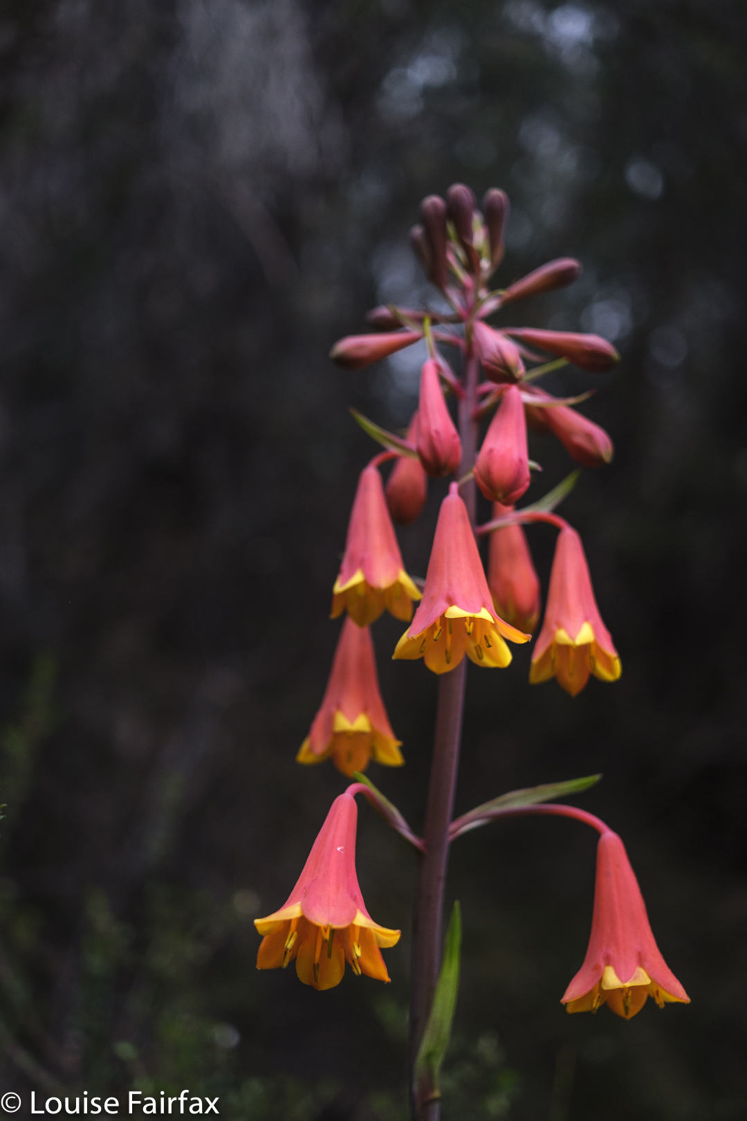
Blandfordia punicea for some Christmas cheer on the way out.

Castle Crag / Falling Mountain 2016 Jan

Falling Mountain and Castle Crag. Feb 2016

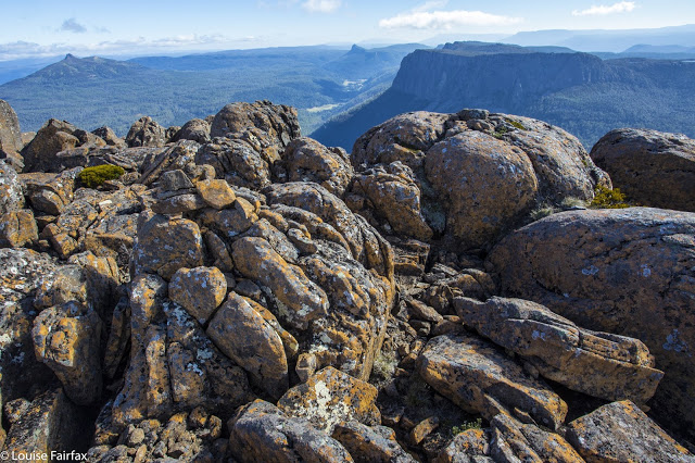
View from Castle Crag, with Pelion East, Pillinger and Cathedral in the background.
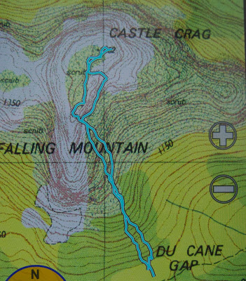
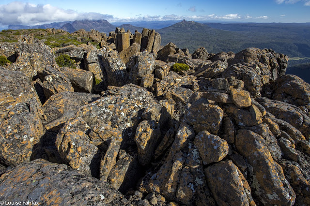
To climb Falling Mountain, the notes Angela and I had suggested we should head from the clearing below Du Cane Gap towards the rocks from the latest fall off the southern end of the mountain, so we did precisely that, departing that bearing when the bush got thicker than we liked. When we left the direct bearing, we headed a bit right (north), climbing or contouring as the best leads through the scrub dictated (no longer using compass). Eventually this method took us to a wonderful lead of pineapple grass that made easy passage in a green path upwards to the final little climb that popped us out on top, much faster than anticipated in 1 hr 17 from our tents, drying down in the open clearing below. I photographed here, at the highest rock on this part of the mountain, five minutes away, and again at Castle Crag, a nine-minute saunter further on across alpine grasses and a bit of rock.


The route being described in the narrative
Rather than just retrace our footsteps, we agreed to try something different and just drop off Castle Crag. The boulders were surprisingly huge and the going not as kind as our original route, so we decided to sidle across to meet our ascent track. I was leading at this stage and concentrating on the job, using a kind of animal instinct that kicks in when I’m climbing, just following what some non-verbal part of my being feels is the way to go, sensing passages through the maze of rocks when one of the smaller (football size) rocks I trod on became dislodged and catapulted down the mountain, whacking my foot en passant. I writhed in pain, hyperventilating badly, vision blurred, dizzy with shock. Uncharacteristically, I reached for my pack to grab a painkiller. Whoops. They were in the big pack way down there. Angela’s were in the same place. (At least my EPIRB was with me. At this stage, I didn’t know if anything was broken, but found it hard to image that a blow of that force would not break something.)

“OK, no painkillers. We need to get moving quickly. If I’m to get through this, I need to start moving, and now. If I rest, I’ll stiffen up and never budge from here.”

Castle Crag summit cairn, with Ossa and Pelion East behind
Cautiously, gingerly, I put weight on the now swelling blob at the end of my leg and tucked in behind Angela, who was left with the job of choosing a route that would be kind to a one-footed friend. I didn’t feel like exerting the brainpower needed for such matters, and concentrated on using the foot as a stable plank, tucked in behind Angela. Most surprisingly, we were down in 1 1/2 hours. It felt like much longer than that, but my foot was coping well with weight bearing.

Sunset at Narcissus Hut (Lake St Clair)
 
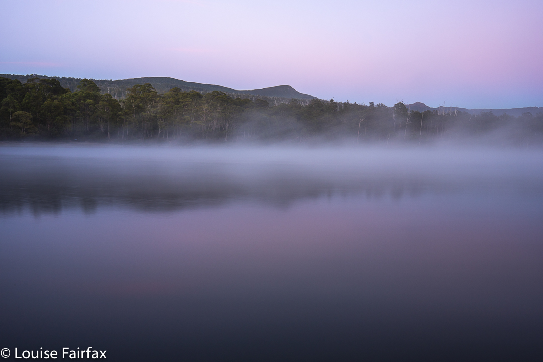
Next morning the sunrise was exactly what I ordered. I do love a good mist

I didn’t dare inspect the damage to my foot until Narcissus Hut. I thought if I looked and saw what I was bound to see, I’d feel sorry for myself, and maybe not be able to go any further. Now, I must say, I have always had the policy that if you are going to hurt a lot on the inside, it is the best thing to have an outer appearance that is commensurate with the inner torture. My foot did me proud. It was grossly distorted and swollen, and coloured a rather nasty combination of red, purple and dark grey. I felt a true martyr.

Leeawuleena, the mellifluous aboriginal name for Lake St Clair that matches its visual beauty with soothing sounds
Despite this magnificent display of swelling and colour on my ankle, I can report nothing is broken. For this, I can only thank my wonderful, solid, leather boots that shielded me from the full force of the bash, and the fact that the impact must have been pretty well back on the foot, so I am extremely lucky in the placement of the collision. My doctor advised rest.

“How many hours do I have to rest for?” I asked (neatly eschewing mention of days or weeks).
She knew the implication of my choice of words, shook her head and smiled wryly (which is why she’s my doctor).
“Twenty four / forty eight hours?” , she said with rising intonation and another smile. I got the feeling she was carrying out a kind of barter: What number can I say that will not be so great that this person rejects it altogether, yet not so small as to be nugatory? She chose a good number.

Deal. I’ll obey that. I did Pilates instead of running and only walked the dog.

Dawn light
I do not feel unlucky at all to have been hit by a falling rock coming off Falling Mountain: on the contrary, I feel very much the opposite, and elatedly relieved at all the things that could have been, but weren’t. I will enjoy the rest of my summer’s bushwalking with even greater gusto.

Eastern Arthurs 2016 i Needles and Geeves Bluff

Eastern Arthurs part 1: The Needles and Geeves Bluff.

The Eastern Arthurs connote wild, remote beauty; beyond that, I wasn’t quite sure what to expect, but I was looking forward to seeing and experiencing whatever it was that lay ahead. I hoped to climb Federation Peak, although didn’t have my heart set on it, and unequivocally wanted to climb The Needles, (an Abel as yet unclimbed). That, I thought, should be a pretty definite possibility. Apart from that, great views and that special feeling fostered by deep wilderness lay on the agenda.

On the first day, we began after lunch and no one seemed in a hurry, so we didn’t make violent distance before calling it a day, and pitching our tents on a broad spur just past Two Mile Creek. We were rewarded next morning by scenes as in the two photos above. One of the features of bushwalking in the wilderness that I love best is precisely that ability to say, “Let’s camp here”, and just drop your bundle and pitch your little tent with views to die for.
On this occasion, however, doing that delightful thing had the downside that it meant a bigger-than-expected second day across the hot plains that left some of our members rather exhausted. We developed the cute habit of leaving two members behind at every campsite for a while after this. Eleven became nine by the time we arrived at Goon Moor for the third night. But I have jumped ahead. First we need to leave the plains, pretty as they are in the pictures of our first night in the above two photos, and climb up onto the range.

The above two photos are of some of the creek crossings before we began climbing. As you can see, water levels were high but not at all dangerous – and there was plenty of deep mud in case you’re wondering. Legs, clothes, gaiters and boots were all sodden and filthy by the first night, and remained so for the eight days we were there. Most of us stoically donned wet socks again each morning. Some optimists changed to dry ones, to have them generously receive the gift of water from the wet boots not long after. It felt good while it lasted.

After Pass Creek (our second campsite), we climbed up onto the range via Luckmans Lead, on a route that takes you past a rock formation called the Boiler Plates. Above, you can see the group about to pass through what I call Boiler Plates saddle. As you climb, the Plates are up and to your left. At the mini saddle, you swing left to skirt along their backside.

On the far right of this photo, you can see the backside of the Boiler Plates. Below left is Lake Leo, and behind, the famous East Portal, object of our quest on the return journey. For now, however, we are intent on reaching the campsite from which we will make our attempt on Federation Peak, viz, Hanging lake, so will not spend time or energy on longer, distracting climbs, although we did do a few smaller ones en route.

Kathy and Tony climbing as we make our way to the Stuart Saddle. Those are The Needles above, which several of us will climb after lunch.Angela, climbing towards the saddle at which we will dump our packs before climbing The Needles.

Dale and Wayne coming along the route that we later abandoned due to its dramatic plunge between two Needles. I’m glad we climbed these lesser Needles as well, as the views were fabulous.

The Louise that took the picture above was a very happy one. We had dropped our packs in the saddle suggested by the Abels book, and now were on our way to the summit of The Needles. However, this route involved a descent between some of the Needles that several members of the group were not comfortable with, so we actually ended up returning to the saddle and going back down the track until we were just short of being underneath the Needle that constitutes the summit. Even from here, the climb was not without its challenges.

The Needles, summit view. We are looking at Lake Leo and East Portal below.

Wayne, Angela and Dale went right of a rocky spur that gave them a route that was very steep and felt a bit loose in places. I went left of this spur, followed by courageous Kathy. Our route was great except for the final lunge for the summit, where we were clinging to minuscule pieces of rock with a very daring and not exactly pleasant drop straight into the  lake below. I concentrated on clinging to rock and tried not to see what was in my peripheral vision. Kathy says she is scared of heights, so I was very proud of her when she emerged onto the summit space having dared that route too. I was NOT looking forward to climbing back down that way, so was greatly relieved to discover that the route the others had taken didn’t involve exposure of that nature. We all went down their route.

Having a breather climbing the Four Peaks. Rain does not seem to be dampening our spirits.

On day four, we climbed around the Four Peaks, trying to get past the many and varied obstacles before reaching Hanging Lake. We have now left two more members behind to climb other things, so are reduced to being a team of seven. We had to pack haul on three occasions on this route, more because we could not squeeze ‘human plus big pack’ in the space provided than because we needed to get clear of the weight. There just wasn’t enough space to fit us.

Geeves Bluff, view

After we arrived at Hanging Lake, several of us climbed Geeves Bluff. Here is one of the many views on offer from the summit. Wayne and Dale were busy making telephone calls on top. I tried to join in the fun, only to discover that my phone had accidentally been bumped on, and was now nearly out of battery. I never found a spot from which I could send a message to say I was still alive, so gave up. Such a message, if I could send it at all, would have to wait for tomorrow, the day on which we hoped to climb Feder. The forecast seemed good – early mist but then clearing. Hopefully conditions wouldn’t be too wet. Time would tell. This story will be continued next blog. What a tease.