Ford Falls 2109

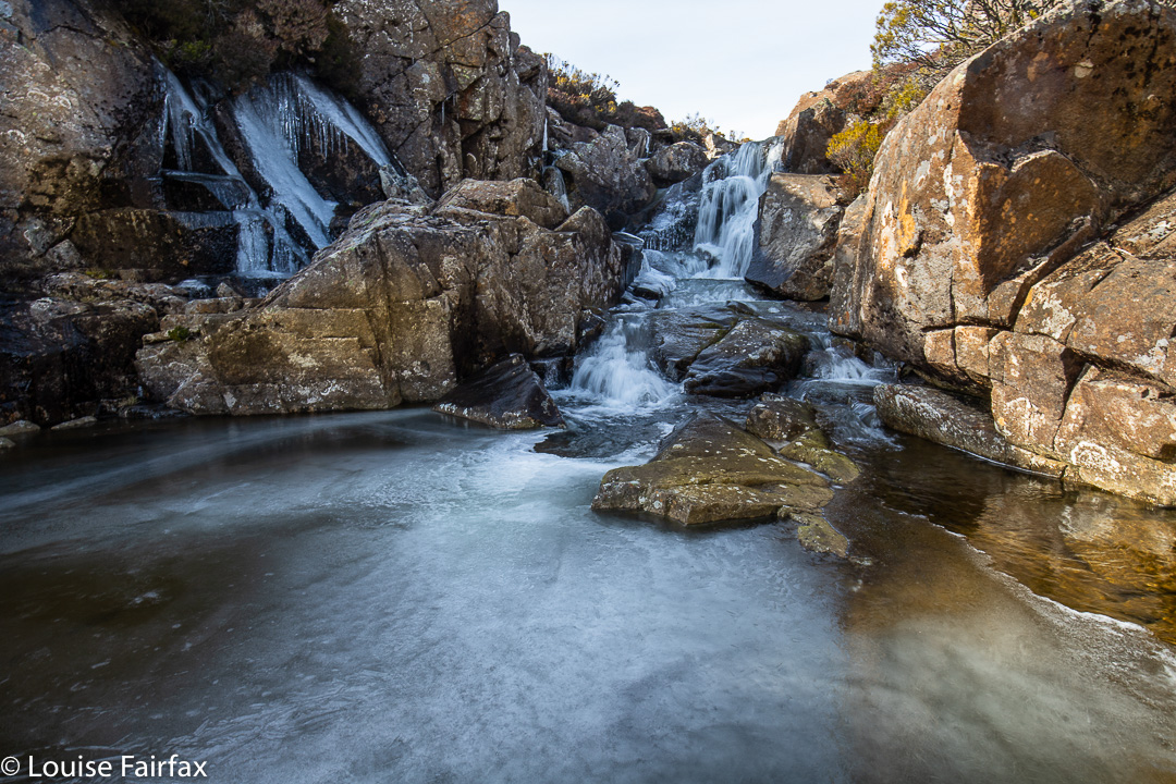
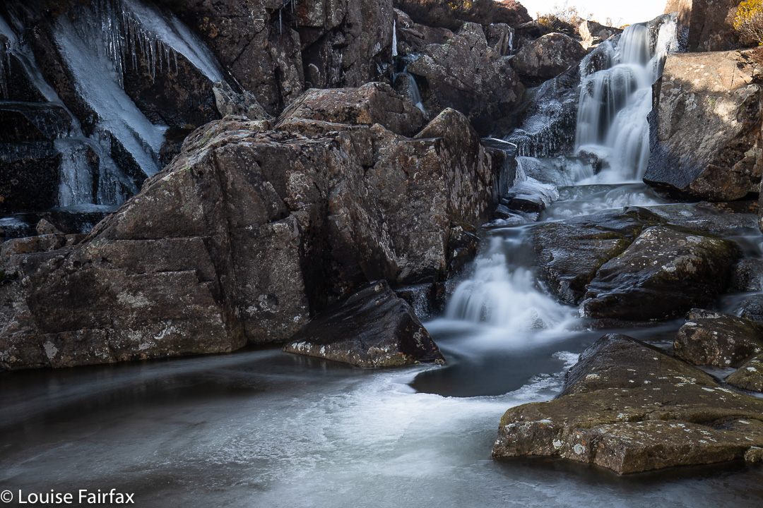
From the first moment I saw the position of Ford Falls on the map, I knew I wanted to “bag” them (as the saying goes) in winter, with snow and ice all around. Today I had my wish.

Ford Falls

Now, I should be all set up for this, as I have an AWD and a set of chains, but putting on chains had always been Bruce’s job, so I felt a little insecure doing this alone, and prancing around on icy rocks is also better done in pairs than solo, so I contacted my friend Steve, who said he’d love to come. It was on.
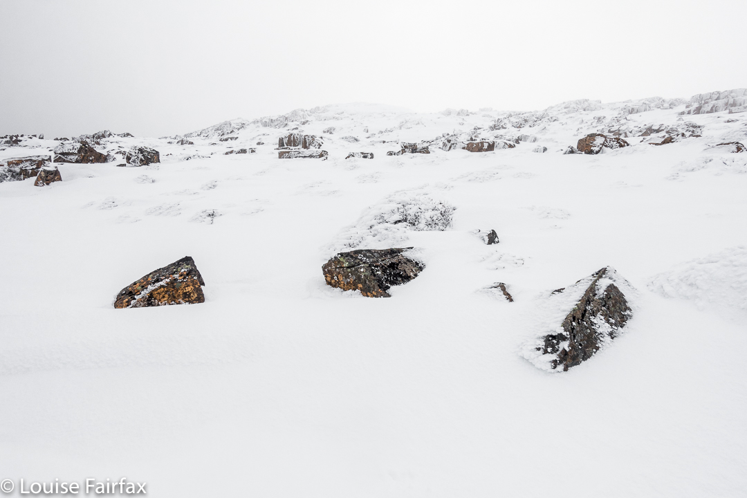
The trip up was uneventful; the ranger happily let us through seeing’s we had chains on board, and up I drove. It was a balmy minus one at this stage.
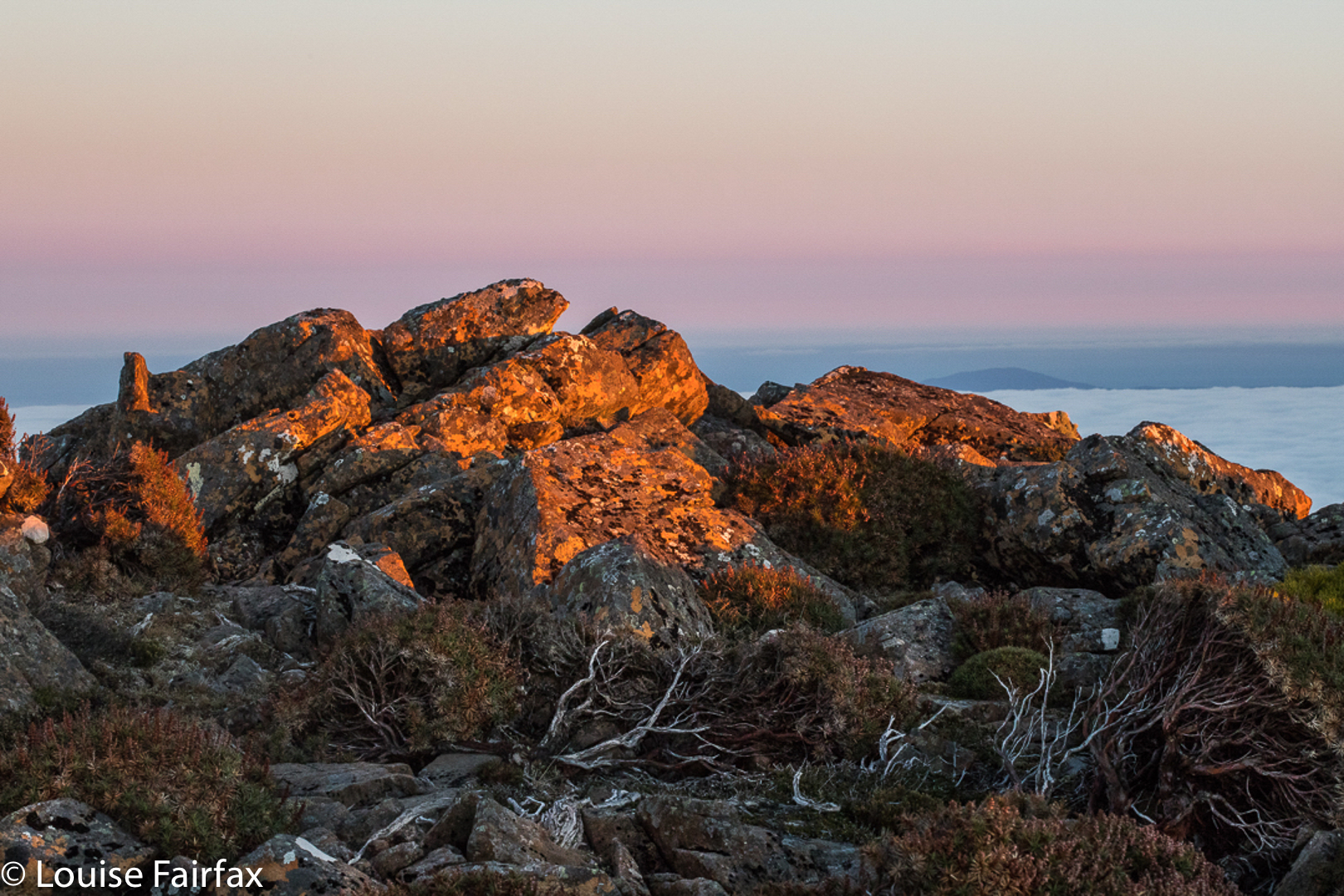
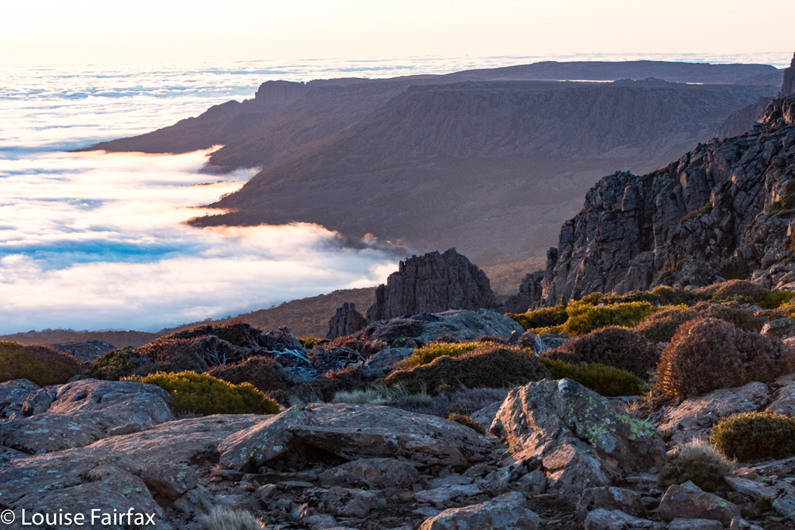
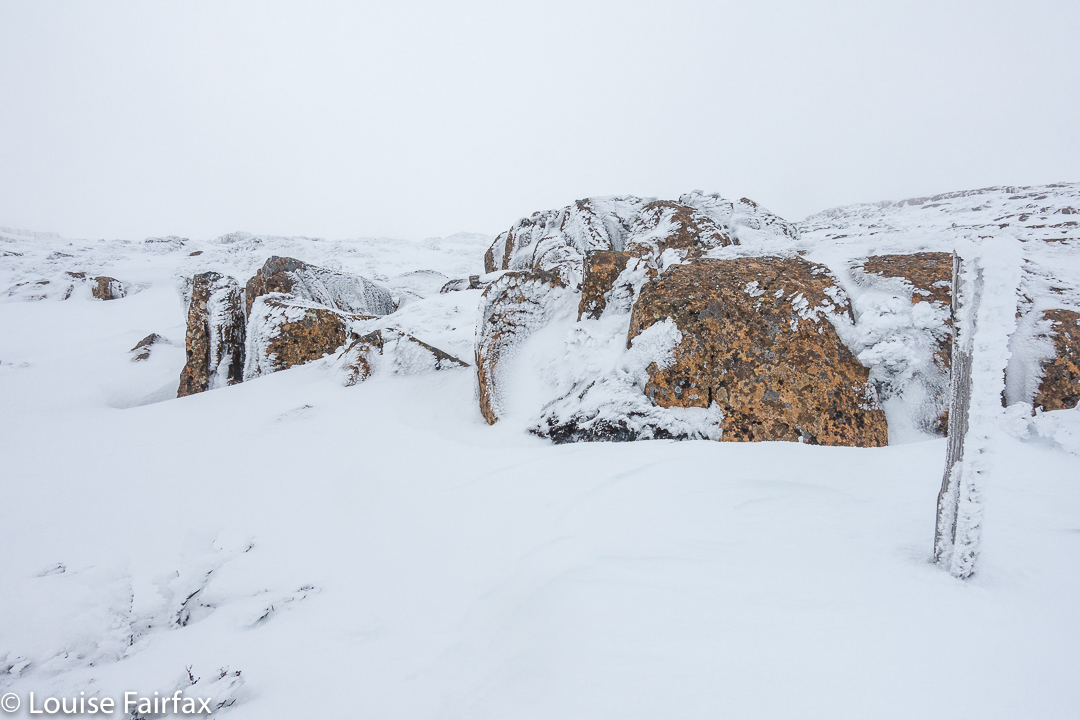
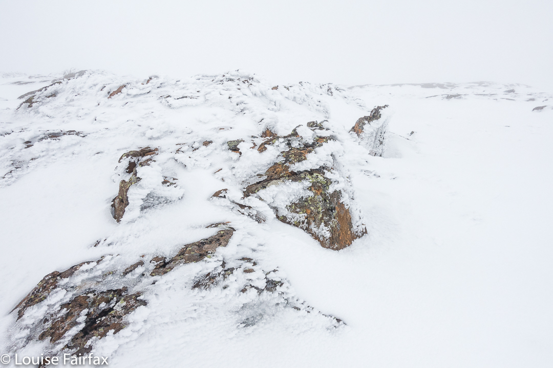
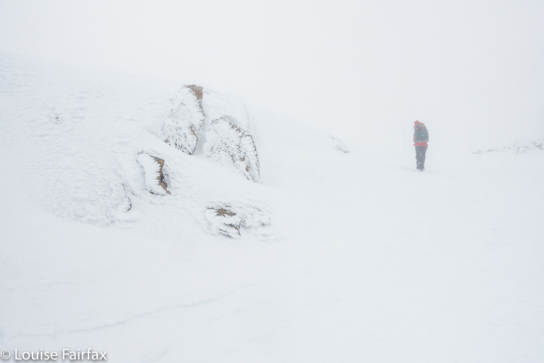
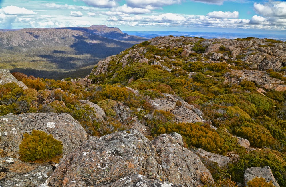
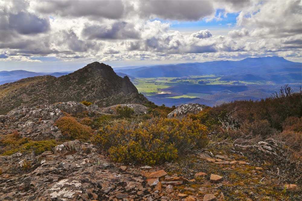
Up on top, Jacob’s Ladder neatly behind us for a while, we searched for a spot from which we could attack these falls. Near the lookout, scoparia bushes were in thick armies. We got back in the car and went a bit further, nearer to the path up Legges Tor. There was a suitable spot to abandon the car, so we did so and tried again. No route yelled at us, but we chose a lead I liked the look of and followed it. Ha ha. After maybe ten steps there was a gap in the snow, and underneath was the path I had been searching for.

Ford Falls

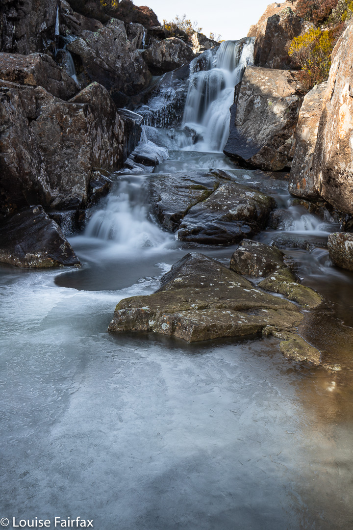
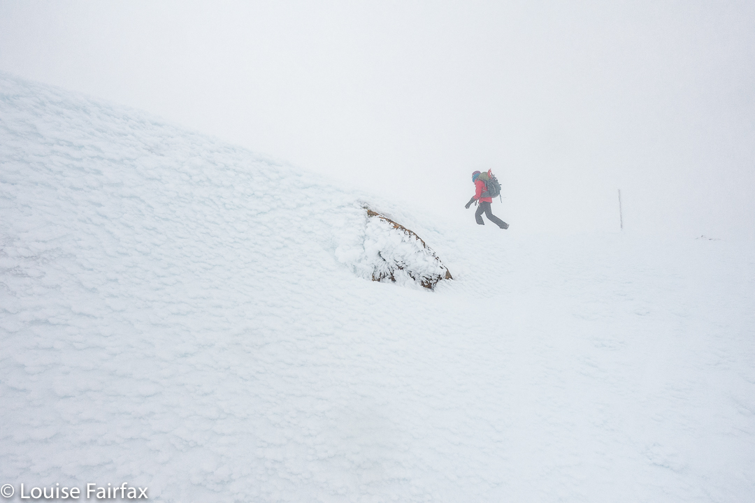
Elated, we followed it until it dumped us at a pile of rocks, from which we were then left to do a kind of monkey-cum-crab dance across the rocks until we were where we wanted to be, photographically speaking. Unfortunately, Steve slipped on the ice and his hand hurt for the rest of the excursion, but no limbs got broken. I had spikes and spiders for us both, but neither of us bothered to put them on.
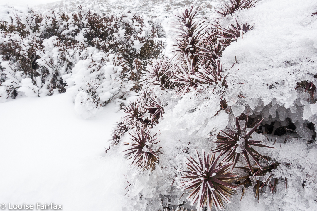
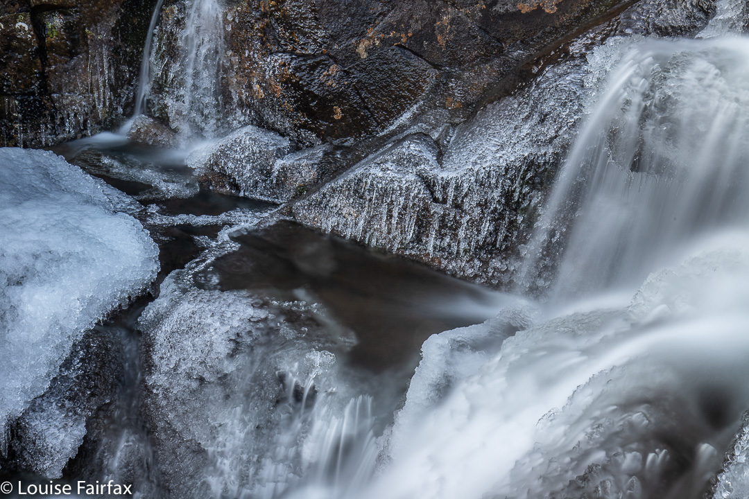
We stayed a while, as it was so beautiful there amongst the ice crystals and shining glassy stalactites. You could have skated on the ice below the falls (if you knew how) it was so thick.

Chilly enough?

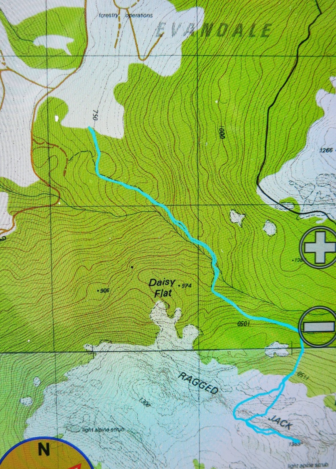
The path, when not buried in snow, is probably clearly visible from the “car park” of its origins. This spot is not official, but there is probably room for two or three cars. The ground opposite has also been cleared a tiny bit. It’s maybe 2/3 rds’ of the way along between the lookout and the Legges Tor path. The waterfall is higher than shown on the map, more at the start of where the gorge begins.
I hope that helps. For us, it was time to go and visit Joy Falls as well before lunch. These are also on the slopes of Lomond, but a further drive around than I was expecting. We did fit in both falls before having lunch by the car in the forest and setting out for home.


Ben Lomond 2017 Sleeping on a summit

Ben Lomond 2017. Sleeping on a summit.


Ben Lomond is a perfect place to go if you live in Launceston, want to sleep in the wilderness, and don’t have a lot of time for driving – or for walking, for that matter. My dear friend Gracey and her fiancé wanted to sleep on a summit with me (well, within five minutes of one), so I decided that we should start simple, seeing’s she doesn’t have a great deal of bush experience, and I wasn’t sure how she’d go with an overnight pack. Start short and work it up is my motto.

Pitching
She and Alex drove up from Hobart after lunch, and then we took a while arranging things (I was lending them quite a bit of equipment, which we needed to sort out – it’s nice owning “too much” stuff [but when it’s useful, how can it be “too much”??]). No doubt we needed to eat a little something before we left … but Ben Lomond is close, so it didn’t matter. Off we finally set up the mountain, into the clouds, arriving up the top at maybe 5 pm. And from where we parked, it really was up and into the clouds, which seemed very romantic and exciting for one’s first sleep on a summit, and Gracey’s tone of voice certainly betrayed that emotion.

Two weeks in a row, I strike a Brocken Spectre. Amazing!
I was a bit nervous as we neared where I wanted to camp, as I hadn’t done a recce, so wasn’t actually sure if we could find two tent spots (or even one) in that rocky terrain. I also didn’t know for sure that we’d find water, and wasn’t carrying any. There was time to get back to the car if all this didn’t work, but I sure hoped we weren’t going to have to go back down and sleep somewhere less exciting. This was looking like fun, and offered glorious views. The other two needed a rest, so I went on ahead to suss out the area and reassure myself that I wasn’t leading them into a rocky jumble of yuk. Hoorah, I found alpine grass, beautiful tarns and space for at least two tents – more if we’d wanted. This was the life. I hurried back to them to tell of our success.

At dinnertime, we carted our gear to the cliff’s edge to eat perched there, staring out at a beautiful sunset unfolding while we chatted.


Sunrise.
In the morning, we scampered over rocks to get a series of excellent vantage points as the sun rose. We had breakfast number one high on the mountain, before driving back to my place for breakfast number two.


We’d had two days’ worth of adventure before most people had had their morning tea break. We’re all excited about the next one, which will be longer, but not too long. One leap at a time, and only a doable one at that. Alex and I have to curb Gracey’s excitement and desire to throw herself at the deep end. If one does that too soon, one can end up hating it, as it becomes too tough to enjoy. We need to build up bush muscles gradually, as with everything.

Legges Tor 2017 Aug

Legges Tor  20 August 2017.


Does going to a place at roughly the same time two years in a row turn it into an annual event? I hope so, ’cause I’d really like to think of our winter summit of  Ben Lomond (Legges Tor, as the particular high point on that massif is known) as a yearly occurrence.


It feels so high up there. You are on Tasmania’s second highest point, and you can somehow feel it – which is good, as each time we do it, we can see nothing much beyond the nearest boulder. You sense your height, your exposure to the elements, the fact that there is nothing of your height anywhere to the perceptible east or west. If you drew a line due west, the first point as high as you would be in Argentina. If you drew it east, it would be Chile. Directly south, there is nothing, and directly north, … well, I am still chasing that one.


Kosciusko is one degree further east, so you would bypass it, and proceed north, I can only assume until you hit New Guinea. You may have to get to Russia before you get something as high, and even then, I am not sure of exactly what. I am still trying to find out. Work in progress. If I get some knowledgeable information, I’ll update this post. I’d love to have this exact, as it greatly interests me. Google isn’t being very helpful. The point is not that Legges Tor is a whopper in terms of height, but that it is exposed to the elements up there, and the prevailing winds coming in from the west are unhindered in their path from America to us.


And the real point is that summitting it in winter is jolly good fun!

Legges Tor 2016 Aug

Legges Tor in the snow (mach 2)
On Tuesday, Angela had the day off work, so the two of us headed up to Ben Lomond to catch some snow and do a white ascent of Legges Tor from Carr Villa. On this trip, I decided to get all my possible snow errors over and done with in one day so I can have the rest of the season clear. It seems there were many to dispense with.

Firstly, there were problems doing up my spiders, which were needed twenty minutes into the climb once the track became a smooth frozen river of very shiny, very slippery ice. I couldn’t remember how to do them up, so improvised a method. Really, I knew it was insecure and had to fail. I just couldn’t devise a better one just then. Five minutes later, predictably, they came off. I tried again and off we set. Five minutes later they fell off again. Now I tried a new method, it felt better. Five minutes later they fell off again. At last I worked out how to attach them at the back too. They were on the wrong feet, but I didn’t feel like delaying Angela any more, so hoped that wouldn’t matter. It did. Seven minutes later they fell off again. Ok. I sat down and changed the feet around. Hoorah. No more delays from the spiders for the rest of the day. Angela had just slid her rubber topped, chain-crampon booties on in .05 seconds flat.

Now trying to fit these wretched spiders had involved quite a bit of pulling and tugging. At one moment, I was pulling very hard indeed and my hand slipped so that my fist bounced speedily upwards biffing me on the nose. Blood poured out immediately and copiously. I didn’t do much about this as I was too busy roaring with laughter. I had never known anyone to bop themselves on the nose so hard that they bled like that. I guess I was lucky I didn’t knock myself unconscious. The extreme cold soon put a stop to the bleeding. Luckily I had toilet paper to hand.

On we marched. I heard a snap. The buckle on the waist band of my pack bounced undone. I fixed it up. Angela said: “Aren’t you going to collect your lens cap?” I hadn’t even noticed it had snapped off too. Five minutes later I wanted to photograph something beautiful. Oh no. No lens cap. I just had to go back and search for it. It had obviously come off a second time. Luckily, I did find it lying in the snow, a bit away from where we’d been. It must have rolled.

Despite all these delays, we eventually neared the summit. The wind was furious and freezing, but I just had to photograph this beauty. I took one glove off, tucking it under my arm, and snapped away at ice rime on beautiful dolerite, while Angela, too cold to stop, continued towards the summit, hoping I’d hurry up no doubt. I photographed her in the act of summiting and then dashed off to the side for some more shots. By this time, my ungloved hand was ready to drop off. That was the only reason I stopped my mad clicking. I went to put the tucked in glove back on. You guessed. It was gone. I retraced my steps. Poor Angela was now totally frozen with all my fooling around. However, these were very special windproof gloves (they weren’t even an ugly black like every single pair of gloves on sale in 2015-6, as they’d come from Switzerland). I needed to give this glove one more chance of being found. Angela pointed out that in this wind, it would have blown away and could be anywhere. I promised her minimal time spent on this and raced back to where I’d been. Halleluja, over to the inside, blown away but still visible, lay my precious glove. Off we set, quickly, before Angela turned into an ice pillar.

As I had run out of smart ideas for further errors, the trip back was uneventful. It felt good to drop out of the gelid wind, and the temperature increased as we lost height as well. We even shed some layers. It was a beautiful day, which we both enjoyed.

Ragged Jack 2014 Nov

We have crested the slope at this stage, and believe (falsely) that the summit of Ragged Jack is only a quick play along the rocks away.

It now seems to me astonishing that I have driven past Ragged Jack so many times without ever noticing its existence. I guess my eyes were always fixed on the more dominating Ben Lomond massif behind, which grabs the limelight due to its bulk, and yet, Ragged Jack is a much more interesting shape. Now that I’ve climbed it and know of its presence, I think it’s a wonderful mountain, and can’t imagine failing to register it. John Berger, in his excellent book Ways of Seeing, discusses how knowledge influences what and how we see, and certainly, knowing Ragged Jack as I now do, will forever influence the way I regard it in the future.

Having fun with the self-timer at the summit cairn.

It’s always wonderful when predicted bad weather moves through early (or fails to appear). Tomorrow was supposed to be the one sunny day of the week, but this morning, the sun was shining and the sky looked clear, so I suggested to my Swedish visitors that we go climb Ragged Jack after lunch. Of course, they readily agreed.

It works better with me at the button :-). Here is Salome jumping.
I have no idea why, but I was expecting very thick bush and a long section of bashing through it before emerging at a rocky section, final climb to the top. The actuality was far nicer than the expectation, and the girls and I enjoyed not only getting our two points (they’re now right into this points business) but we delighted in the climb itself, and the forest we went through.
As my car does not indicate decimal points of a km, as road RJ7 was not labelled, and as the gps said we were west of where we needed to be when we stopped, we were a little uncertain at the start, but decided to just climb anyway: the contours were self-evident and if the path we had was not the right one, we’d just go across to the real one through the bush at some other stage. As it was, the path did all the things I wanted it to, so we didn’t need to leave it.

Summit view, looking to the southern end of the Ben Lomond massif.

We climbed using it for 34 minutes, until we found the group of very obvious cairns that the book promised us. What we hadn’t been promised, but what made life easier, was a series of tapes and cairns that allowed us to chatter instead of concentrating on navigation as we climbed further through the terrain that was pretty open and nicely rocky. We were all enjoying ourselves, and playing “spot the cairn” like a treasure hunt with an obstacle course thrown in for good measure.

And my favourite summit view, to the other half of Ragged Jack and Mt Barrow beyond.
It took 30 minutes to climb from the path to a point where we had crested the main climb that lead to the summit. From there we just had to follow the cliff line to the highest point. That, however, was easier said than done, as it was here that we met thick bush that slowed us down as we tried to find less prickly paths through it (we were a lot more successful at that on the way back: such terrain is easier seen from above). The final part along the top took us 27 mins.

Up there we had our obligatory jumps and poses, a snack and a gaze at the surrounding mountains, and then it was time to descend, hoping to see the same wombat that Molly saw, but Salome missed, on the way up.