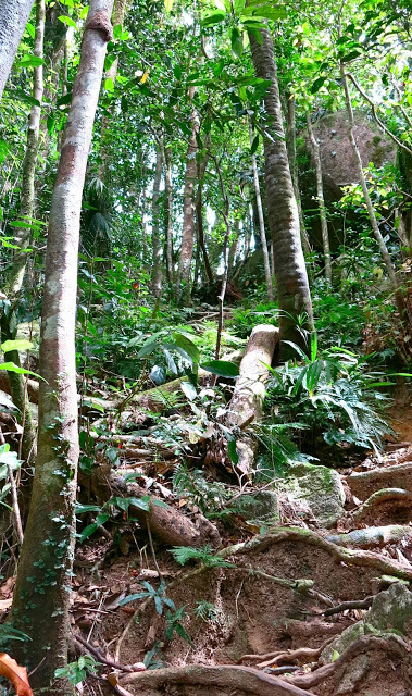
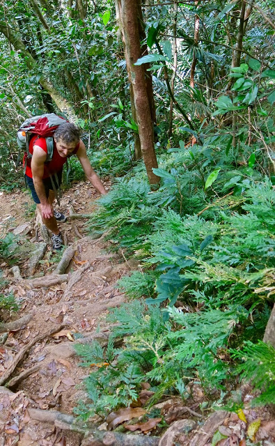
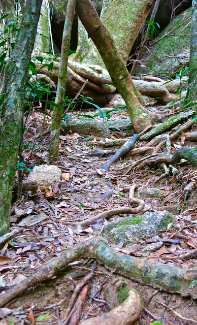
Arthur 2013 Oct

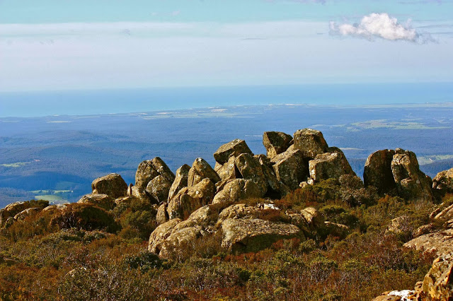
Mt Arthur 27 Oct 2013

I have been sick in bed for two weeks, so just wanted to do something small today – but boy was I keen to do SOMETHING after so much hanging around in bed.
One of the many fantastic things about Tasmania is that at 2.30 pm you can make an announcement like: “Let’s go climb a mountain”, and it’s possible. Off we set to go up Arthur and take some photos. I had been up Arthur lots about 15-17 years ago, but hadn’t been up since, and had never actually been beyond the first of the many steel structures up there. I had also never seen the view, despite having done the climb on numerous occasions.
We were in a rush, and I knew Arthur well, so we packed nothing and off we set. On the way I thought it was a shame that I’d neglected to bring my instructions on how to get there. No problems. We found a sign pointing to the track on the main road, so took it, but everything seemed very different from the last time. I must be getting old. Memory fading ….
We parked in the car park, which I also did not remember, and off we set. WHAT? Up a road??? I remembered a sweet little track and a rockslide. Oh well. Must be getting very old. Memory fading …

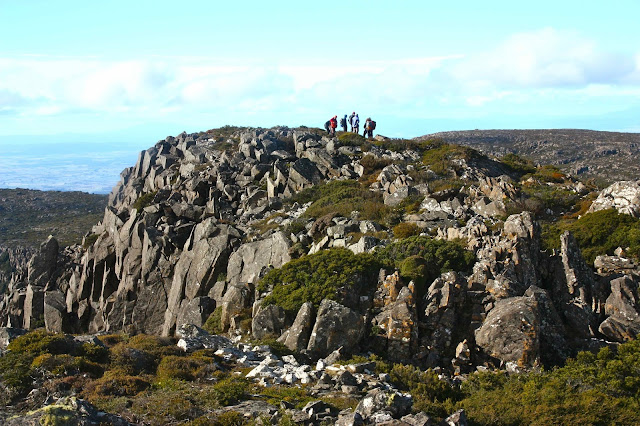
We found the funny tin shed thing. Ah. I remembered that. At last we had a small attractive path. The views were wonderful, and it was fabulous to see them after all these years. We could see a huge stretch of coastline and expanses of countryside and other mountains. We loved it. My only regret was that the lighting was still too strong for nice photography, and I had forgotten my GND filter. Oh well.
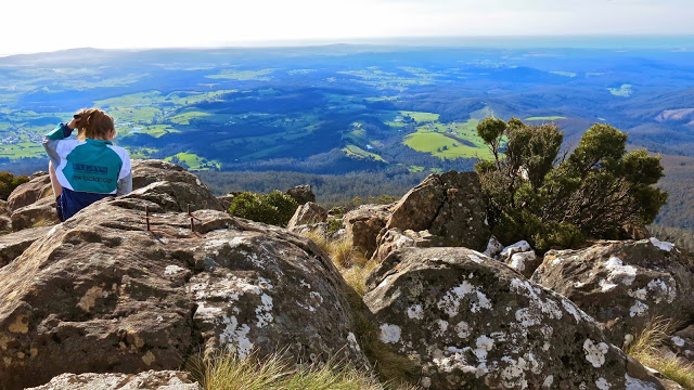
 Once on the summit, my daughter grew anxious, as she’d left her toddler in the car with my husband who was not well. She thus decided to run back down quickly, while Elin and I took more time enjoying the view and photographing. Now, in case you just think this mistake was made by someone who is not used to bushwalking, or not clever,  I will stress without going into details that would involve bragging, that my daughter is very, very smart and she also a brilliant navigator. She was flustered that what I am about to describe happened, and was angry that there was no indication that the path was about to split, with each sub-path leading to an entirely different part of the mountain.
For, unbeknown to her (or us), and completely without signage, the path forks in an important manner, and my daughter took the wrong one, not even seeing the fork. I am detailing this here by way of a warning. The map that we had consulted had one track on it, so why should she question anything? Yes, she was hurrying to get back to her toddler, but she is not unobservant.
Meanwhile, Elin and I had finished photographing, and set off down the mountain. We came to the point of division in the track, not knowing that we had. It’s just that I went right around a rock, and Elin left. “The track’s here”, I called. “No, it’s here”, she called back.
“My track’s good and is well marked”, I insisted.
“So’s mine”, she responded.
Now, Elin is a top orienteer who hopes to make the Swedish junior team next season. I trust her judgement, but I also trust my own. I called out to maintain our tracks and see if they merged, or see what happened. We began to diverge, but were still in voice contact. Elin called out that her track had the hut on it, so I went to join her.
“My track must be the one I was remembering from yesteryear, but I have no guarantee that it goes to the new car park, so let’s take the road for speed”.
 This we did, and found a very happy baby Gus with my homemade muesli bars kind of spilling out of his grinning, satisfied mouth. However, my stomach felt very ill, when my husband asked where our daughter was, and we realised she had not returned.
Had she twisted her ankle or injured herself right up the top, or was she on the “other” track? Probably the latter. Let’s sound the horn in case that can guide her in. It didn’t.
Frantic with worry as she ran downhill, she realised she was on the wrong track, but reasoned it must be going somewhere useful, so she might as well follow it to the bottom and find someone who would let her use their phone. After much horn bipping, with the sun getting lower in the sky and with me wondering whether we should think about calling Search and Rescue, the sound of her phone ringing was music to our ears. She had found a very nice lady and called her phone which was still in the car, knowing we’d answer. Her track ended up at a place that was 11 kms away by car. Toddler Gus kept munching his muesli slabs, unconcerned at the absence of his very worried mother. But now all was well. We drove to collect her.

QLD 2013 Mt Bartle Frere

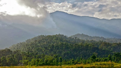
Mt Bartle Frere, Queensland’s highest mountain.

Bartle Frere seen from below 
 
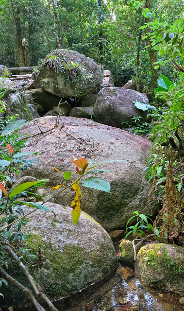
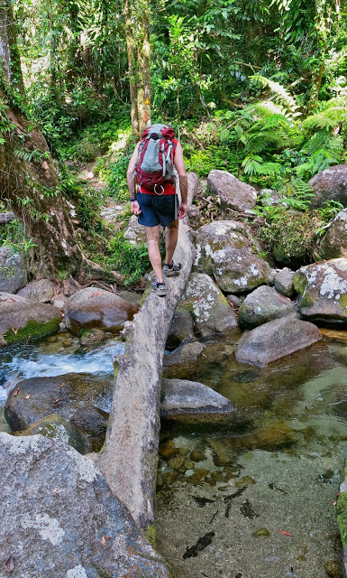
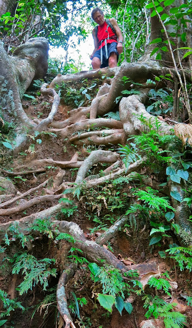
 Forest en route
I looked out the plane window as we descended for landing. Below were azure waters and green mountains. I should be excited, but my friends would probably be climbing a Tassie mountain in the snow this coming weekend, and the tropics held no particular allure. What was I doing here? It seemed I was having a holiday in Queensland because the family expected us to have a holiday in Queensland. That evening, as we tried to share the lagoon area of Cairns with hoards of young smoking German tourists, I longed for the quiet and beauty of home. What were we going to do to amuse ourselves on this holiday? We’d been too busy to make any plans at all. It’s amazing the flight and car had been booked.
 
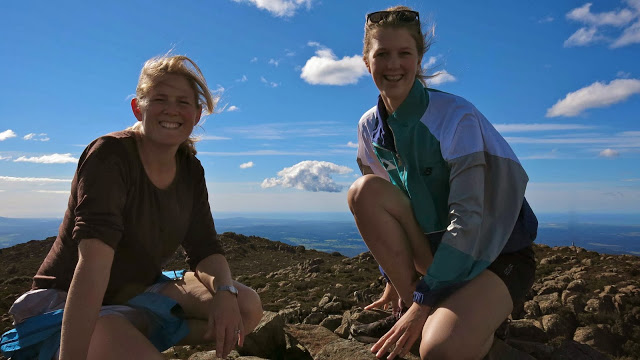
I have wanted to climb Mt Bartle Frere, Queensland’s highest mountain – a climb from 100 to 1622 ms asl – for several years now, but had always been put off as the official QLD bumph one reads says it takes two days. I was also not enamoured by the prospect, as the same information said that if you do it when it’s wet you’ll slip and injure yourself, but if it’s dry, you’ll need to carry ten litres of water per person to avoid death by dehydration; if you do it when it’s cold you’ll freeze to death, but if it’s warm, you’ll die of heat exhaustion, or thirst or other related causes. It said there are very difficult climbing and boulder hopping manoeuvres at the top – if you get past all the other obstacles and terrors posed by this treacherous environment to reach that point. Never having had two days at our disposal, and rather wondering about these lurking dangers, we had opted for other activities in the past. This year, however, with no plans, there were also no excuses. We set out from Cairns after breakfast driving south for a bit over one and a half hours, the intension being just to go as high as we could until midday to suss it all out, and then we’d know if it really was out of range.


The first surprise was the availability of water. We crossed four or more flowing streams before we crossed a creek that needed a bridge. At the 3 km mark, there was another creek. We only had 4.5 more kms to go, which is not so very much if there is no more water – and there was no more water after that. Of course, it could be drier than this – but this is the dry season, and we did rather think they doth protest too much.


It was steep, yes, very, very steep, but it’s a mountain, so steepness rather goes with the definition. I even worked up a sweat, which I never do at home, and thought of some of my club members rejoicing that at last this was happening.


Once past the helipad (7 kms), there are more signs warning you of the dangers of traversing the boulders. I was fearful, and glad I’d left my husband behind after travelling at his speed for 6 kms. He’d no doubt rest at the helipad and wait for me to come back down. I was at the summit after 3 hours 15 mins climbing, and I hadn’t been pushing the pace at all, partly because of keeping with my husband, and partly saving energy for all these unknown, unspecified but alluded to terrors that lay lurking behind every vine.


On my descent, I nearly died of shock to find Bruce at the end of the boulders. “I just thought I’d have a look and go as far as I could go,” he said. This man has Parkinson’s disease, but had successfully negotiated boulders that had monstrous drops between them. If one slipped or misjudged, it would be very hard to be extracted. I was proud of him.


Descent
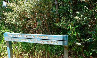
The track was beautiful, with rainforest nearly the whole way, and had a wonderful, tropical feel to it. The views across the boulders were excellent, although somewhat hazy as we were kind of in the clouds. There was no view from the top – just a sign telling you you’d reached it in case you hadn’t noticed. Had I not read the sign, I would have gone on, looking for the top. It’s not exactly obvious.


Summit sign
We had lunch at the “3km creek”, a swim at the Josephine Falls (more loud, rubbish throwing, smoking gangs of tourists) and were back in Cairns hours before dinner.

Mt Field NP 2013

Mt Field West  Attempt  15-16 June, 2013

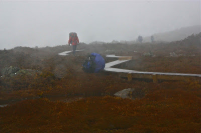
Unfortunately, at Lake Dobson, the precipitation took the form of rain. As we climbed, brushing against soaked bushes and slopping through pools and risen rivulets, our lower halves became wet through. The exertions of climbing also meant that our top halves were damp with sweat from the inside. By the time we reached Newdigate Hut, the rain had changed to the promised snow, which is warmer than rain, but we were already freezing from being wet. We ate a hasty morning tea, eager to keep moving.


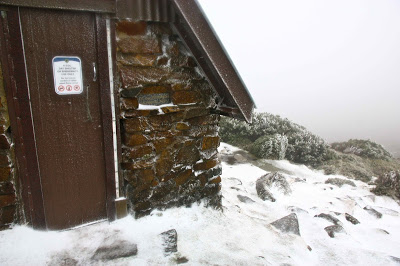
At the top of Newdigate Pass, we realised that we had up until this point been sheltered from the main brunt of the wind. Now it slapped us in the face, driving piercing shards of sago snow into our exposed facial skin. I zipped my anorak to the top, which is between my mouth and nose. The hood I dropped forward to half cover my eyes. I just had a tiny window to peep out of so I could locate the next pole or cairn, but that was enough for the gale to find and lance me. Soon enough, however, the glorious sight of a triangle of metal signifying the emergency shelter on K-col took form through the thick mist. Shelter at last. We opened the door with relief. I stopped singing my adaptation of Lawson’s The Team:
A snipe of snow on a bouldery ’road’
And the team goes creeping on. 
Inch by inch with the weary load; 
And by the power of the blizzard’s goad

The distant goal is won.


                                                It was lunchtime. The day was still young – but we had very little hope of being able to continue and summit our mountain. Perhaps tomorrow things would improve. But should we give up yet? Well, not quite yet, so we ate lunch in our sopping gear, dancing on the spot at frequent intervals to try to prevent gelidity. The sound of the wind’s fury did not abate, and nano-peeps out the door indicated that snow was still falling. We all had tents, but no one was willing to brave the weather and pitch.  Eventually at some point after lunch we admitted defeat and changed into our set of dry clothes. I was most reluctant to do this, despite being desperately cold, as once in that gear, I wouldn’t be able to go outside, and I knew I’d need the toilet at some point, but my core temperature was dropping rapidly, so I shed the wet layers and climbed most prematurely (it was only a bit after 2) into my sleeping bag as advised by the others. It seemed shocking to do this so early, but I saw no other hope of warming up. I was wearing two merino icebreakers, an Arcteryx coat and a down jacket (the last two with hoods), a beanie, gloves, Helly longs, overpants and woollen socks, all dry, but was still cold, so I obediently climbed in. A-M sat on my feet to try to warm them for me. Soon we had a row of four all trying to warm the one in front like penguins in a blizard. It began to get mildly cosy.


We spent the rest of the afternoon joking, laughing, telling silly tales, and listening to B who read us Italian Fairytales that I’d brought up the mountain for just this purpose. We put off dinner, as once it got dark it would be harder to amuse ourselves. We were all also reluctant to get out of our bags to cook. I was not the only one dreading the idea of needing the toilet – one of many sources of ribald humour during the afternoon (wit of jokes no doubt enhanced by A-M’s spiced rum). I deliberately drank nothing with dinner to reduce trips outside. Somehow we managed to joke around until almost 9 pm, after which we made an attempt at official sleep. Two climbed into the tiny mezzanine floor; the other three set up bed on the chairs below.


All night those of us who were awake (= all of us) could hear the wind raging against the frame of our shelter. Snow banked up against the door. We would not be summitting this trip. After breakfast, we had do decide what, if any, dry gear we would save for an emergency. Most of us donned our wet garments. My socks were sodden but I didn’t even have the resolve or whatever it took to wring them out, and I didn’t want to use my dry ones. What was the point? My shoes were saturated. My overpants were damp and cold, but on they went, over the dry overpants and Helly longs I was already wearing. For my top half, I kept on all the clothes from the night as above, but exchanged a fleece for the down jacket so that I had an extra dry upper layer left (as well as the usual full thermal body cover, still dry in my pack). My gloves had been knocked inadvertently onto the floor during the night. They were frozen so solidly I couldn’t change the shape to force my fingers in. I elected to throw caution to the wind and use my last pair of dry gloves that would, indeed, get wet within 30 seconds of being out there, but I just couldn’t face another wet layer. The icy ones were now so hateful to me I didn’t even want to carry them for another day. My anorak was also a frozen, metallic sheet of armour, but I had so many layers on top (6 already before I donned it) that the ice from that garment would take a while to reach me. Off we set into the mist and driving gale. I plodded like an automaton over the icy, treacherous rocks – one foot in front of the other and you’ll get there – and sang in my mind my new adaptation to the second verse of Lawson’s poem:

With eyes half-shut to powdery mist,
And necks to the ground bent low, 
The walkers are walking as walkers must; 
And due to the strength of the icy blast, 
The moving pace is slow.

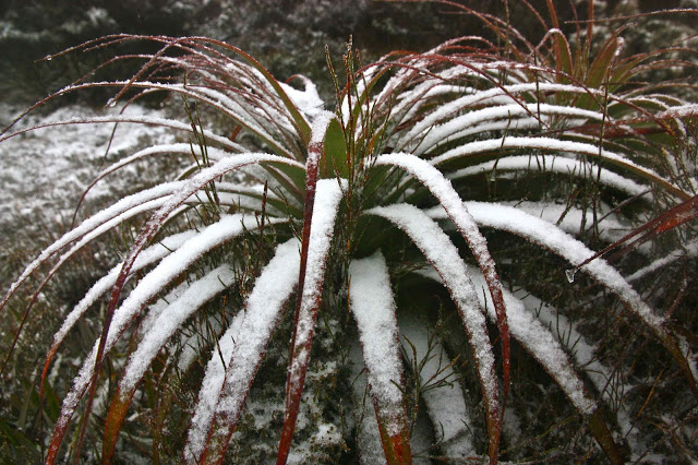
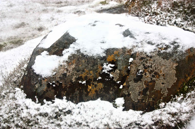
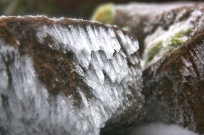
Although we were plodding with heads to the ground to try to avoid ice attack, there was still opportunity to notice how wonderful the rocks and plants were with their mantel of snow. It was beautiful, and we were thrilled to be out in it, – despite the discomfort – and exhilarated to be part of nature’s unattenuated wildness.

We were slow, yes, but we got there, and had a chocolate break at Newdigate Hut. My bodily system had closed down in the extreme cold, so eating chocolate (or drinking icy water?) brought on violent stomach cramps for the next uncomfortable hour to the next emergency shelter. The final part was a breeze. Now I’m home I keep finding it hard to believe that I can just go out the door without being assaulted by ice.

Beecroft 2013 May

Mt Beecroft   19 May 2013

Our trip to Mt Beecroft began early, so for a bit over an hour we drove past glorious white fields, the grasses in the ditches beside us sparkling with thick frost. The mountains were spectacular in air that sharp, with every shadow and indentation, and every sunny ridge perfectly crisp and clear.
 
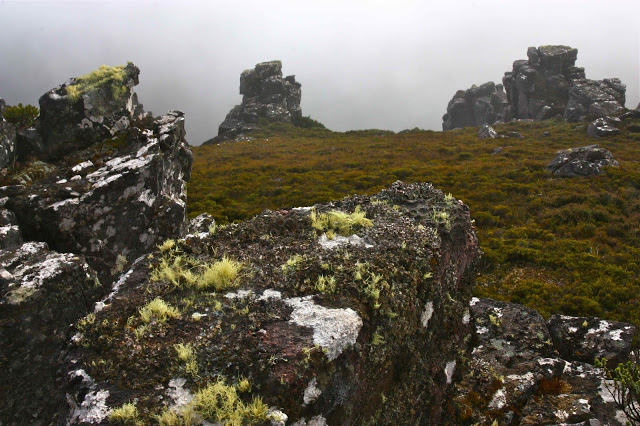
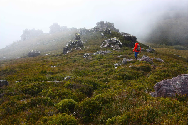
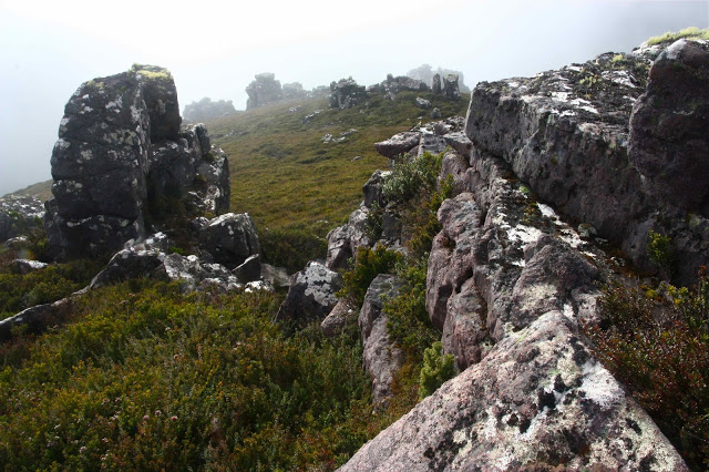
We arrived at our destination car park (on the highest point of the C132, which goes past Cradle Mountain. It is 10kms west of the Cradle turnoff) just as the clouds did, and set out into a biting wind. It was so cold that I said we’d go for an hour, and if we were still freezing, we’d turn around, as it was obvious we weren’t going to see anything in cloud like that. The water on the pad was between ankle and mid-calf deep, depending on where you put your feet (hard to see, as the wind had my eyes watering so much I just stepped out and hoped). All the bushes were drenched, so our pants were very quickly sodden. After 15 minutes, however, we had gained enough height for the ground to be a little less sopping, and after 36 minutes we either crested a rise or rounded a corner or both, but suddenly our goal was visible not far ahead in a gap in the mist that suddenly and unexpectedly appeared. I photographed it in case it was the only photo for the day. Unfortunately, the glorious views that the Abels book promised us were not to be had, but the details closer to hand, seen through the atmospheric mist, more than compensated. We also revelled in the pylons of rock emerging through the swirling grey veil higher still.
 
Although we couldn’t see anything other than the rocks close at hand, there was a wonderful sense of space climbing the ridge – much like we have when in the Lake District, or emerging at the top of Moraine A in the Western Arthurs. We ate a hasty (and very early) half lunch (half, because we were cold once we stopped, and I wanted to get us up to the summit, and then out of the mist while I could still see something, and because we got so much in a single salad roll from ETC that I couldn’t even open my mouth wide enough to get the roll inside, let alone finish such a deliciously huge portion).
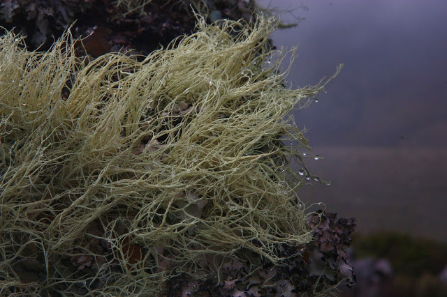
On the return journey, I wanted to stay wild and free, so diverged from the waterlogged trenches of the Penguin-Cradle track and opted for the greater sense of space on the ridge line – a drier and more wombat-filled option, even if slightly longer. There were some beautiful tiny fungi at the end – mostly mycena I suspect. Here is some lichen.
 
On the way home, we warmed up and broke the journey by stopping at Villaret, which we haven’t been to in ages. There we shared one cake. It was a (breathe in deeply so you can say it all in one breath) “warm chocolate whisky date and macadamia fudge cake with caramel-macadamia ice cream, salted caramel and macadamia slice, butterscotch sauce (with the ice cream) and chocolate sauce (with the cake), garnished with white chocolate leaves, strawberries, cream and spun sugar”.
We felt very satisfied as we continued the final hour home. Sunset over the river was pink as we pulled into the drive.

Drys Bluff 2013 Apr

Drys Bluff   28 April 2013  

Bob Brown’s here”, the excited whispers ran through the bus; heads craned to see. Pulses rose. This was going to be a fun day.
As we stood in a circle to say our names, you could feel that these adults were like kids needing to suppress giggles, although they did their best to introduce themselves with less of a teenie-bopper air than they felt. My pictures of them during the day have faces lit with huge grins. One said to me at one point: “This is such a cool club. Do you bring celebrities to every walk?”


I have known Bob for nearly twenty years, dating back to days when I was on the green ticket in two elections. Despite this loose acquaintance, I have never done anything with Bob that was not official, so even for me it was a treat to go walking with him, and to see him on more relaxed turf – especially nice to see him in the bush that he fights so hard to save. I sometimes fear that he’s so hard fighting he has no time to enjoy what he’s fighting for – and I feel guilty for enjoying it so much and never allowing enough time to fight properly for its existence. It’s hard to get the balance right.

We climbed up the Bluff to pretty specy views, and then some of us perfectionists in the matter of peak bagging set off across the horrid scrub for the actual summit. Bob, having climbed the good part about eighty times I think he said, and having also officially bagged the thorny castle of a summit, was happy to go straight down with those who still retained sanity. We met back up down the bottom, where Paul had lit a fire, Bob had brewed some tea, Caroline had brought several cakes, and where the laughter and chatter continued until after dark. Most of us came home with a little goody-bag of walnuts, courtesy of Paul’s efforts while we had been off, gallivanting on high.