Hinman Creek Falls 2019

I felt unbelievably refreshed – and somehow cleansed – after my excursion to Hinman Creek Falls today. It’s hard to describe that special joy you have when you have been in the wilderness alone. In this particular case, there was probably an adrenalin release contributing. It was rather a scary little waterfall.
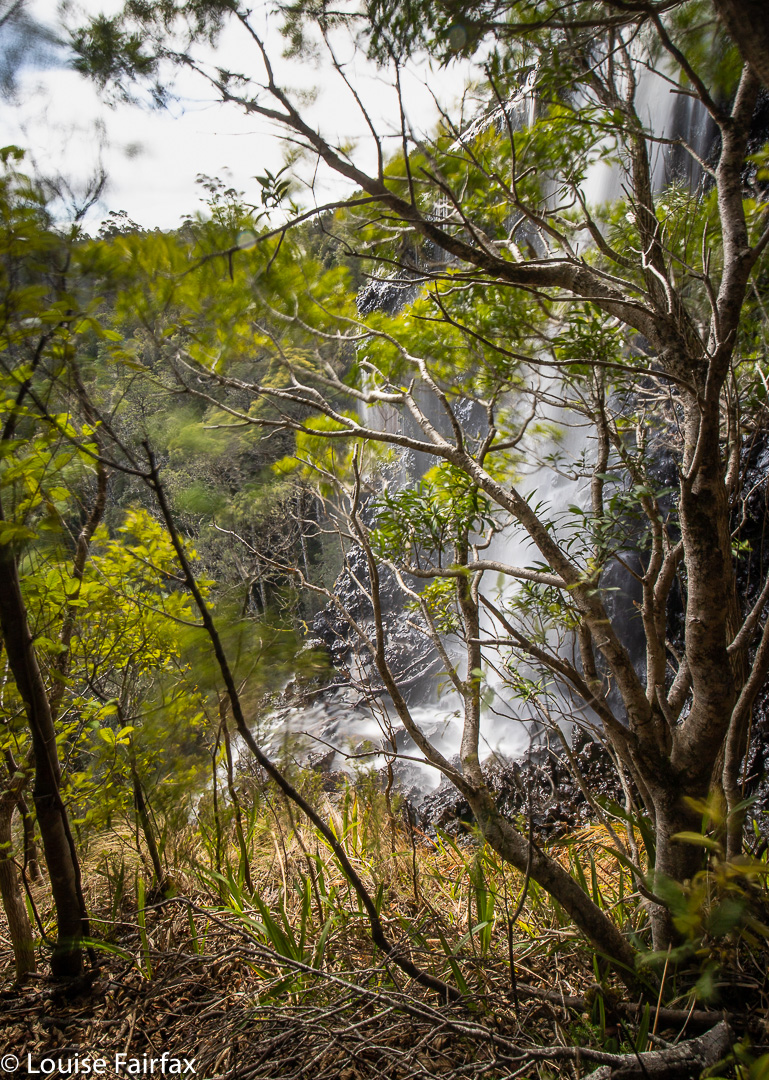
 
This is actually just a little waterfall above the top of the moster drop that begns just there where the white tumbles over. The sense of space and drop at this point was huge. I was glad of the trees in the picture to break any possible fall. If any bit of my camera equipment slipped and began to roll, it would be “goodbye” forever. 
It has been a few months since I have had a proper adventure in Tasmania all by myself. Of course, I climbed everything in Iceland and the Faroe Islands by myself, but that is different from being in the Tasmanian wilderness, where you are much more alone and hard to find. I was so “alone” (but not one scrap lonely) that I went to text my girls to tell them where I was in case I didn’t make it back safely, but I was out of range. Oh well. I was being careful anyway, and I did have my epirb.

Hinman Creek Falls is one of many waterfalls that is just a blue line on a map that I noticed. This blue line is on the route to Cradle, near Moina. I did some research, and found that Clint of TasTrekker had been there, and noted that he had skirted private property the whole way there and back. It was on. I didn’t use his route, as there was no clear demarkation on the more northerly side of the property to be skirted, to indicate where the boundary actually was, so I went to the further, southerly end, where big overhead wires cross the main Cradle Mountain Rd, and where there is a clear fence on the boundary. It lasted all of a few metres. Oh well. I had my gps, but the bush is actually very thick, so I did stray over the black line when not walking with my face in my screen.
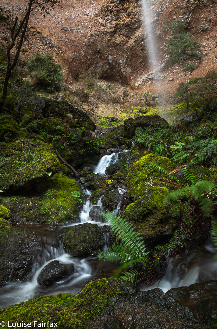
Hinman Creek Falls base. One wide-angled lens (16mm on full-frame camera) is not nearly wide enough to capture the entire falls, as you can see,

Bush rubbish was everywhere and trees crumpled in my hands. I came home with lichen in my hair and fern bits down my T-shirt. Using a line of least (but by no means no) resistance, and trying to keep clear of the mythical black line, I went mostly west until a bit steep changed to quite steep, and then picked up a water race that led me to the top of the falls (pictured above). There were endless possibilities to slip and drop 35 or more metres into oblivion. The edge is steeply sloping, and shiny slippery in many places that offer a possible view point. This is NOT an area for the inexperienced. I took a couple of shots from the top, feeling a bit nervous, and then followed the water race back SW for a long way, until my gps said I was way past the actual cliff drop off. I then descended sharply to a contour that was below the falls, and worked my way through the rubbish to its base. (None of this is private … just junky). The reward at the base was big, but I was worried about the way back, as so much of the forest had crumbled, there was fallen timber just everywhere, and I have seen too many tumbles resulting from a single crumpling of tree.

However, I need not have worried. I took a sharper route on the way back up, and it had less rubbish, so all was good. I found an old rope, but it had moss growing on it. I tested it for strength, yanking it hard, and it didn’t break, but I still didn’t want to entrust my life to an old rope, so avoided needing it and just used young trees and rocks instead. It took me 20 minutes to the top of the falls from the car, 22 more minutes to the base. Then, 18 up from base to top, and 22 from there to the car. (That split was longer, as I accidentally strayed onto private land, realised my error, so dashed south until I was over the line again). I was, as usual, starving, despite having a fulsome lunch once I got back to the car, so filled up some more at my favourite cafe in Sheffield.

Second River Rambles (Lilydale + Merthyr) 2019

After my visit to the Lilydale Falls (on the Second River) on Sunday, I was having a written discussion with a friend who pointed out the three blue lines (i.e.,three waterfalls) on the map at Lilydale, rather than just two. He asked if I’d seen the third. I said I thought the first line was where I had photographed the children having a look at pretty cascades (hardly a waterfall), and sent him a copy; the second line would then be the lower falls, and the third, the upper. But. BUT. What if he were right, and I, wrong, and there was another waterfall higher up? What fun!! The ListMap he was using was manifestly incorrect, as it had the track on the wrong side of the river in places, and things just didn’t match. But that didn’t rule out a third waterfall. Only a visit would resolve this issue.

Second River Cascades

I decided I wanted to go there today and clear up this matter. I have now had four runs in succession since beginning back after the flu, and it would be good for me to walk instead today. Lilydale is nice and close, so I wouldn’t waste too much time. Off I set. I don’t usually track simple tourist routes on a track, but thought I would track today, just in case there was a third, and tracking would clear up the position of the others once and for all. After just a few minutes, I had crossed the bridge and reached the first falls. Oh, drat. As I thought. I was now at the middle of the three blue lines, which meant, of course, the next waterfall would be the third, and there would be no pleasant surprise hidden above it. However, I might as well climb up and see what there is to be seen: a new view, which is always pleasant. There was no sign of waterfall-like territory beyond where I went up there.
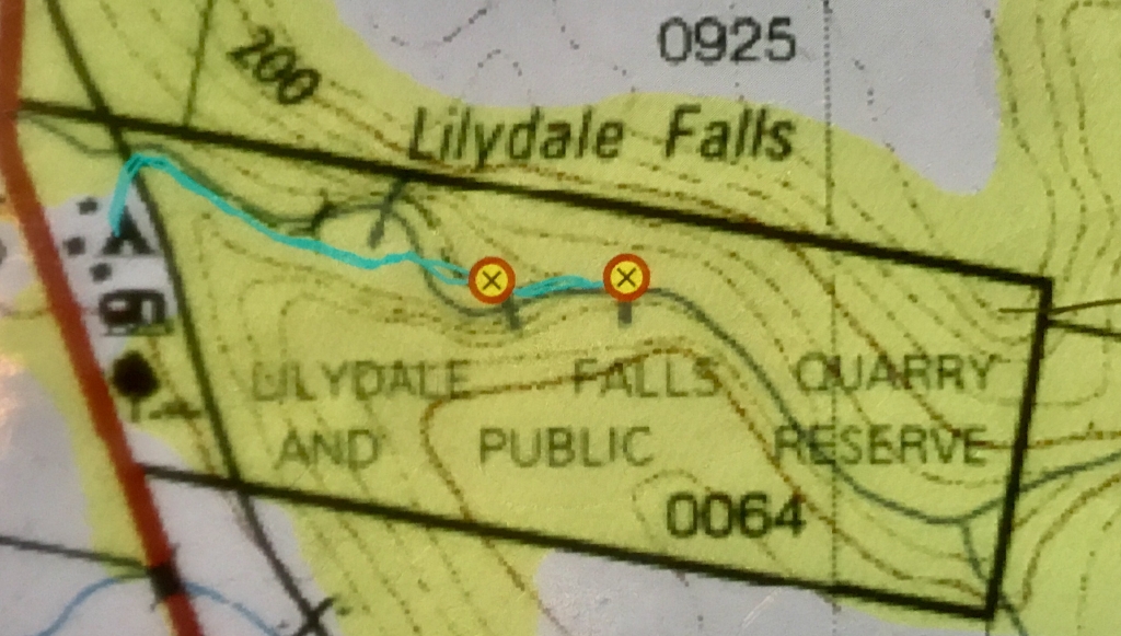
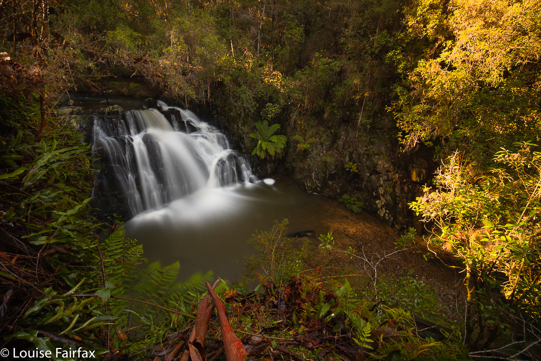
On my backtrack, I stopped at the first blue line, and photographed the pretty cascades (above), which are all of 25 cms high. The map here does not match the ground in any way, and even the position of the river is incorrect. Anyway, the mystery was now solved. (See map below).


The cyan line is where I went, and marks the actual track on the ground. The mystery third line is there under the L of Lilydale, in the “creek” that actually isn’t quite there. See how the map has the river curving away? I assure you I had one foot in the river to take the photo, which is as near to that line as I could get whilst still being in the river. Map and ground are not in sync. The bridge on the map is not there. There is a bridge not on the map shortly before the lower falls. Sometimes Tasmanian maps are an embarrassment.

I had not had nearly enough exercise, so deviated right before I got back into Lilydale, and drove the 2kms to Merthyr Reserve, which has a trail that runs kind of near the Second River’s continuation, and descends to it in places. I found this track utterly frustrating, as you can hear, but not see, the river from it. What is the point of that? I kept having to bushbash off to my right in order to see if there was anything promising “down there”. I lost count of the number of attempts to find something worth photographing, but at last, on my way back, found the little cascade of the photo, which I have imaginatively named Merthyr Cascades.

Merthyr Cascades

It, like many others, was a bushbash, but if you read my map below and go to that place (which I have marked with a waypoint), you too will find the nearest thing I found to a waterfall in this reserve. The forest here is dry sclerophyll, which is not my favourite forest, but at least it provided forty minutes’ exercise by the time I’d walked the small and large loops and gone up and down the contours in search of cascades. Pink heath plants were in flower, which gave the forest some colour. It could be a nice reserve if the trail went somewhere near the water. There might even be nice swimming holes in summer.

Merthyr Reserve walking trail.

Gable Hill, Bawleys Peak, Bellevue Tier 2018 May

Bellevue Tier, Bawleys Peak and Gable Hill 2018 May
On Wednesday, a small band of us who all enjoy being in the bush and some of whom enjoy ticking lists of High Places went off together to climb four bumps, namely: Bellevue Tier, Bawleys Peak and Gable Hill, which all have in common, not only that they are on a List of High Places but also that they are near Bronte Park, so can be attained in a single day. (We also ‘summitted’ a fourth thing, but it was such a non-event I don’t even know its name. It overlooked the London Lakes, but the view was hazy.) If I am in the bush for collection purposes and to tick boxes, then I prefer to amass Abels or waterfalls, but decided to forego adding another waterfall to my increasing list of beauties in favour of being sociable for a change. A lot of my walks are solo these days, to the extent that I am becoming rather reclusive; I thought climbing a few bits and pieces with friends would be a fun change. It was.

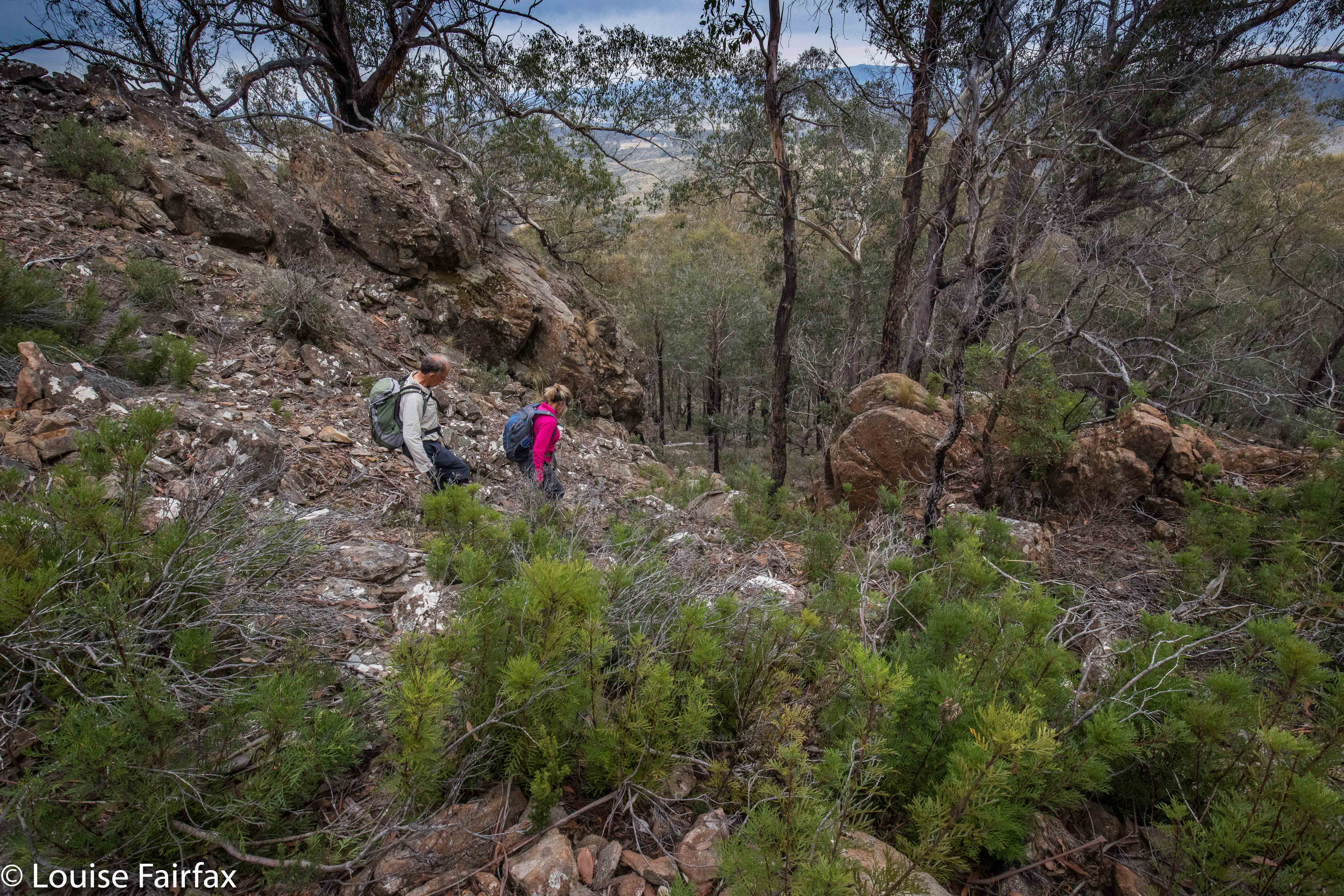
Descending from Bawleys Peak.
I am not at all in love with the Central Plateau, finding it far too dry for my liking, and devoid of fungi, ferns, shade and the things I love about ‘good’ forests. So, I hope my friends are flattered that I opted for their company despite the fact that I wouldn’t be on top of a shapely mountain, I wouldn’t be in the forest I like, and I wouldn’t be beside flowing water. In a group, you don’t even have the fun of doing your own navigation – although I have to confess I did slip off once or twice to choose my own route and meet the others at the top. I can’t play sheep the whole day and remain happy. But I did meet some great folk, and have fun and interesting conversations, and I enjoyed the camaraderie of being with likeminded people.

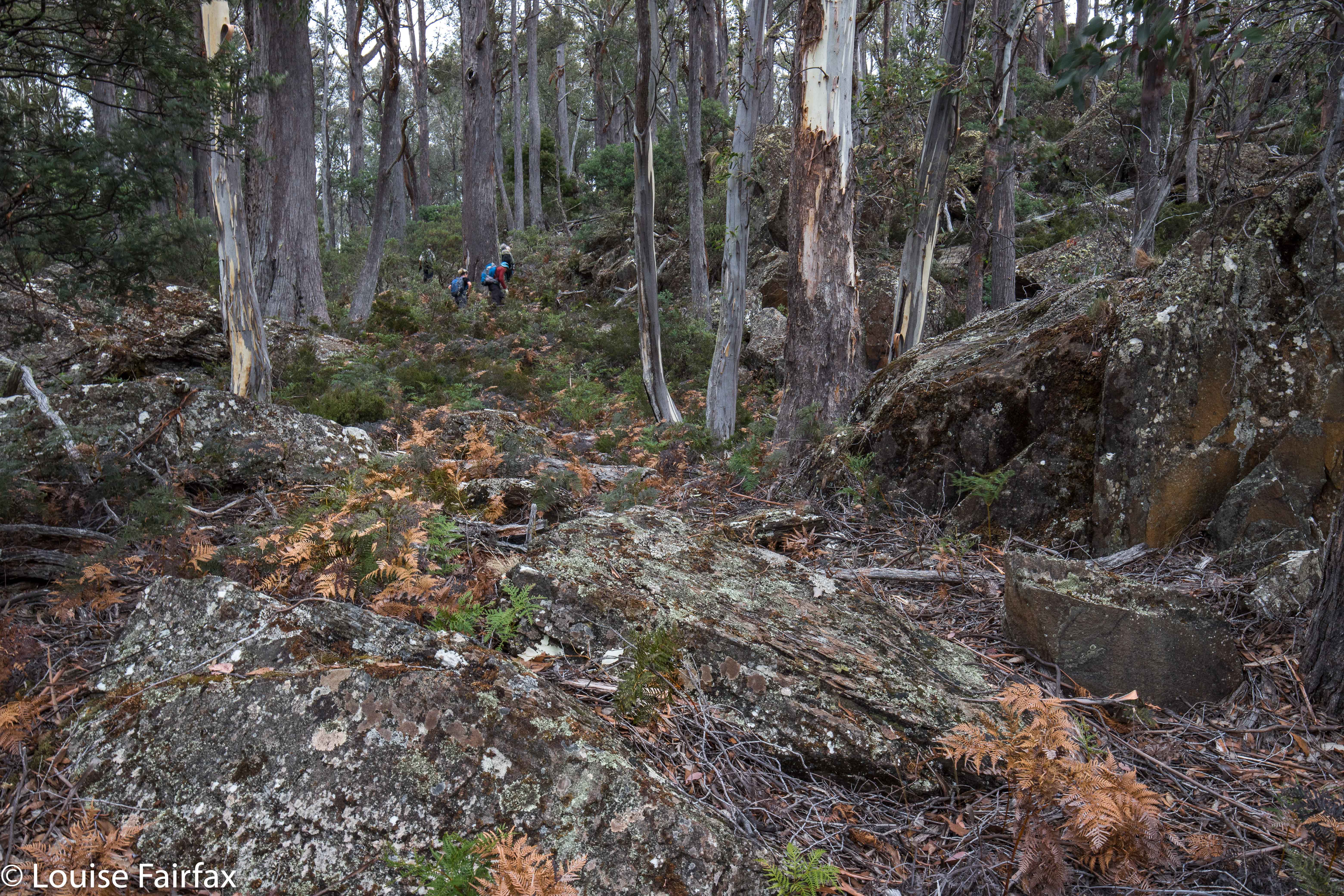
Ascending Gable Hill
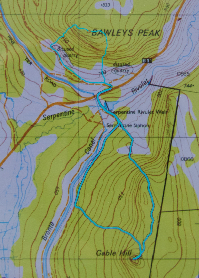
Bellevue Tier seems rather shapeless and viewless, despite being 1126 ms a.s.l.. Its merit lay in the exercise value (4 kms in each direction) and the walk-and-talk combo that took place. Bawleys Peak, our second high point, a fair bit lower but far steeper, was much more fun (See contour map below). I took it head on while the others went around to the right, and my route gave me a good adrenalin rush, with quite a few rather narrow ledges and iffy patches of climbing. Therein lay my first of two climbing thrills for the day. We sat on a beautiful mossy ledge looking out at the very hazy scene and whopping drop below while we had lunch.

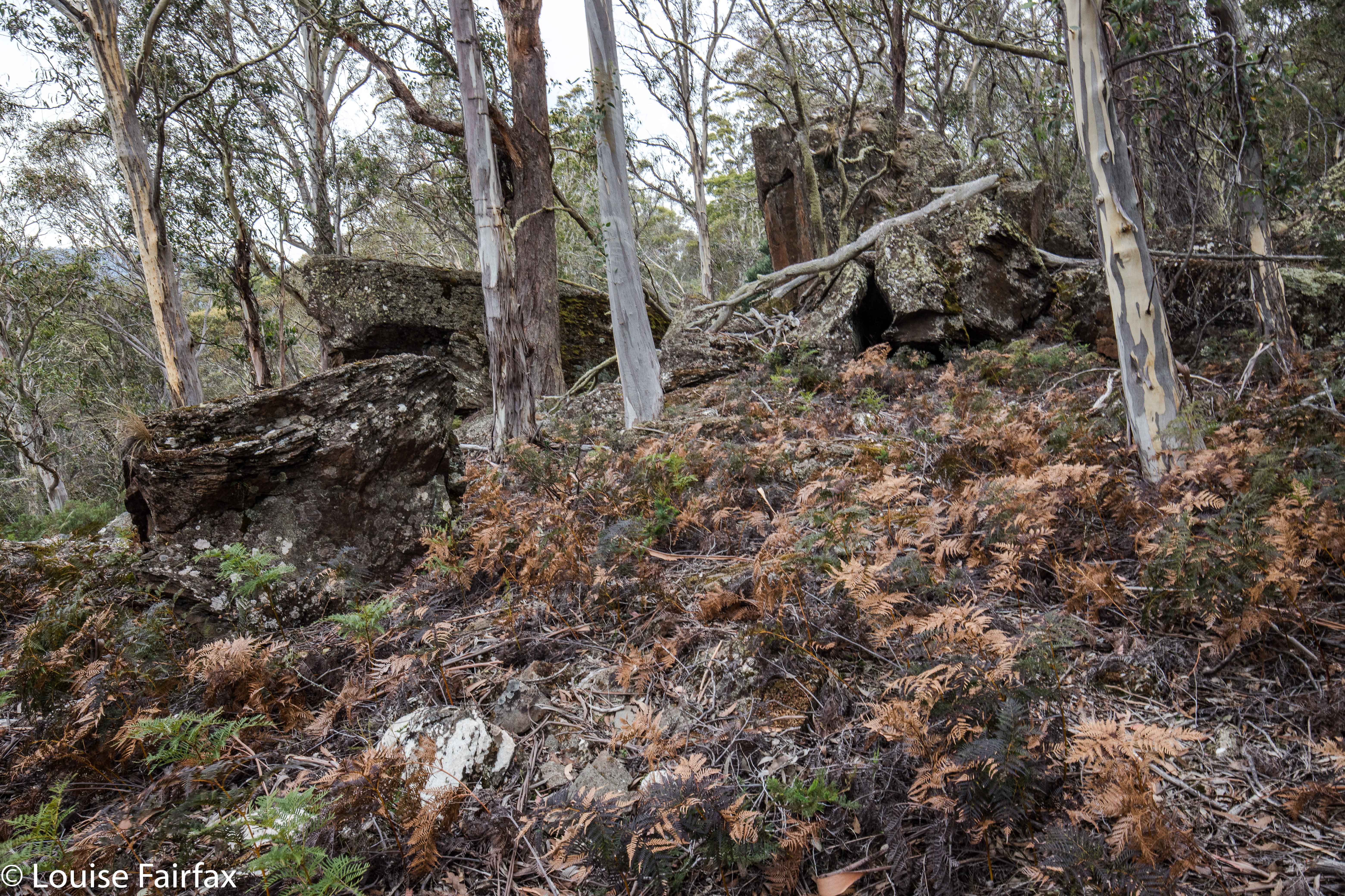
Gable Hill
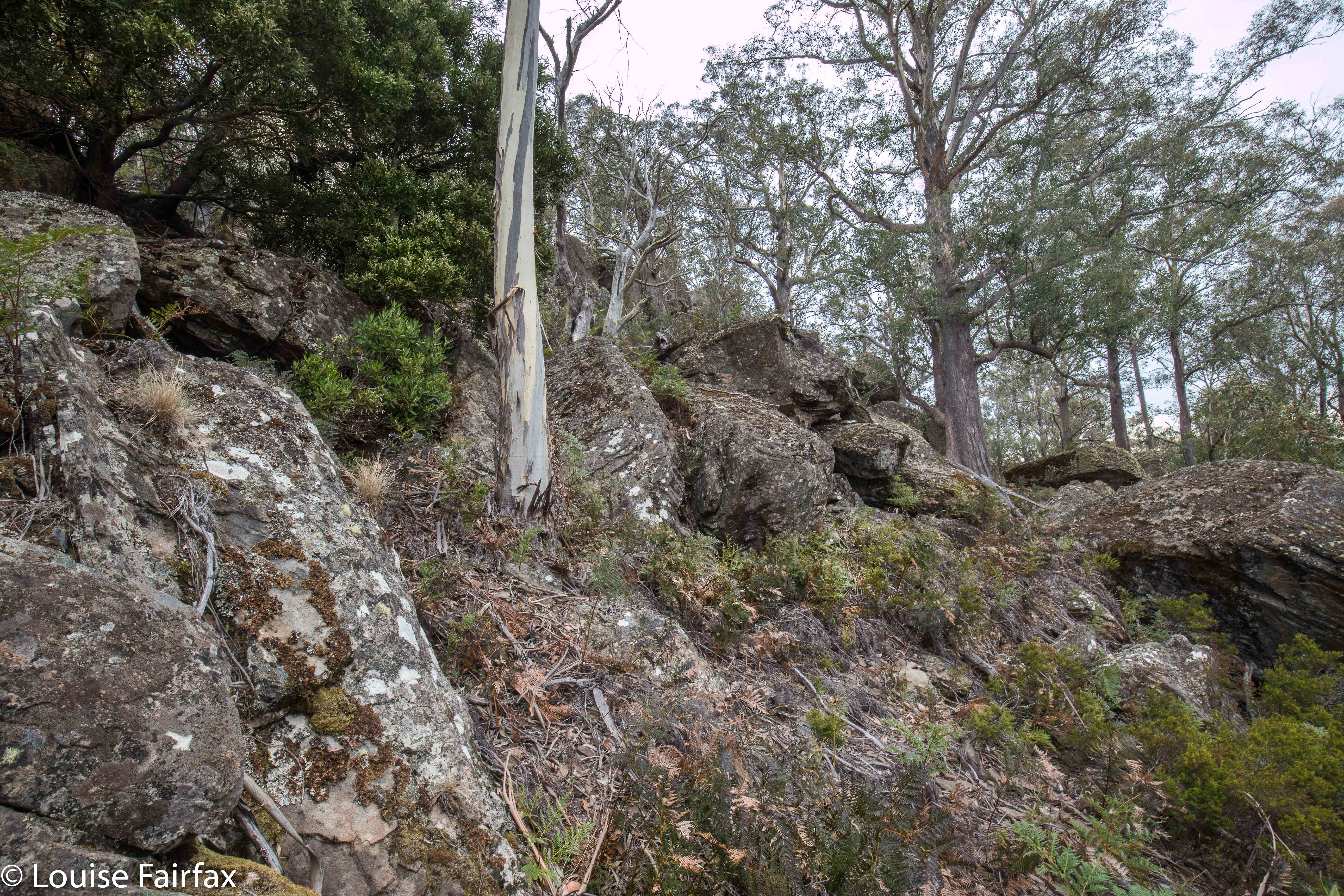
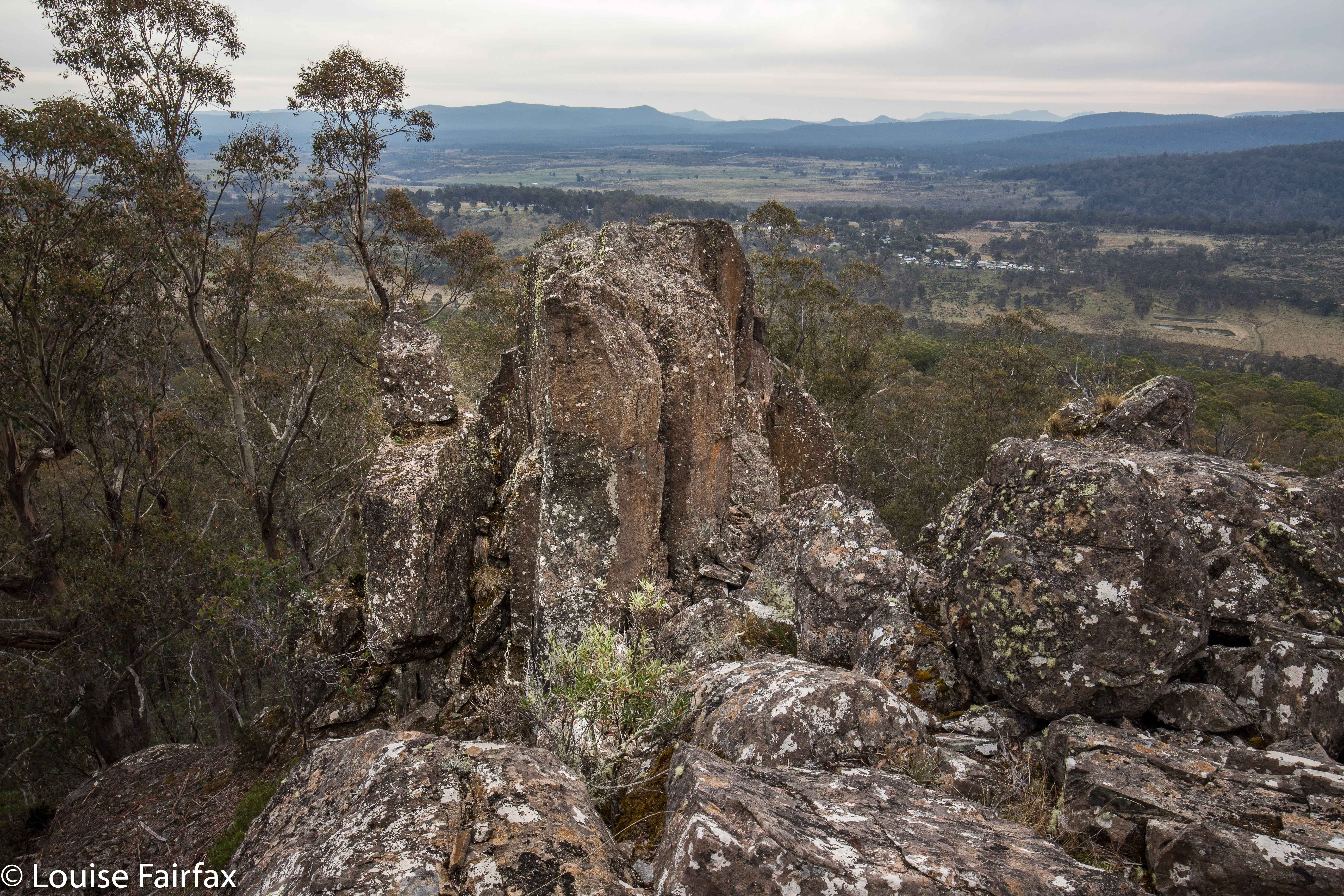
Our final fling for the day was the best: Gable Hill, on the other side of the rivulet we could see. This hill had very interesting boulder clusters that I liked, and some boulders at the summit that goaded me by appearing impossible towers to mount. I wanted to photograph someone else on top, but nobody expressed even remote interest in answering the taunt of the rocks, so, I set about climbing them while the others ate afternoon tea. I was very nearly too fat to get up the narrow chimney I was using for leverage, feeling like Pooh bear after too much honey, and rather fearing that any second I could tumble backwards and splatter on the rocks below like a tin of strawberry jam, but with a bit of breathing in and shoving, I managed not to cause deep distress to my daughters, and to get to the top of the obstacle. The others very sweetly played paparazzi to record the success. By that stage I was more interested in the fact that I was still alive and uninjured than that I had got to the spot on top. From the safety of my bedroom now, and thus in retrospect, I can report it was a fun climb. As I posed, however, I was pondering how on earth I was going to get back down, and was wondering if the gents would mind catching me. Not necessary, as it turned out.


Gable Hill
Unfortunately, the Central Highlands area also lacks the kind of coffee I like buying. Oh well. I am waterfall bagging on Saturday, and can have cappuccino in a cafe then.


The rock tower that I climbed (using a chimney to the right).


For both peaks, the ascending route was the more easterly, the descent, more westerly.

Oakleigh 2018 Jan

Mt Oakleigh. Jan 2018
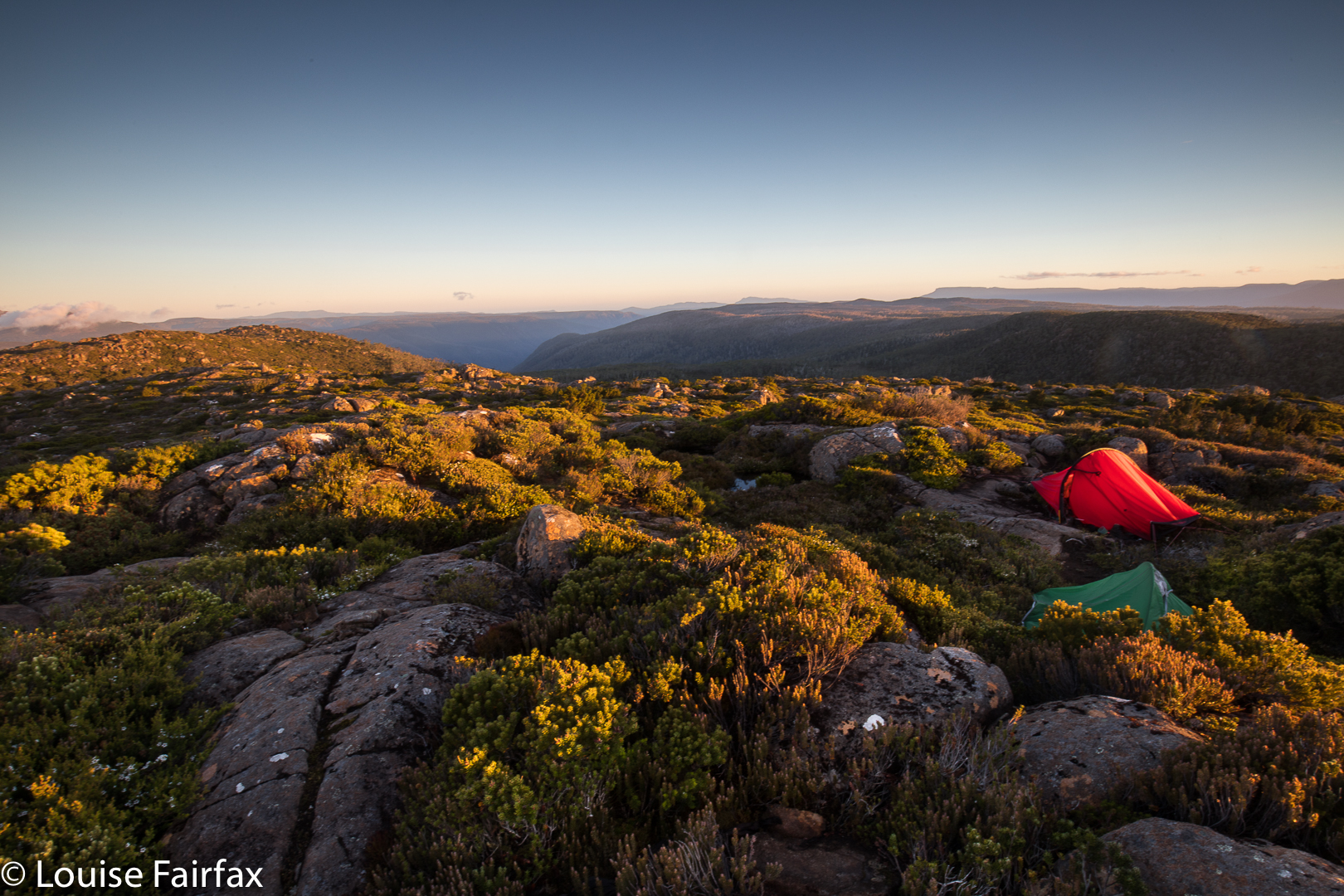
A trip I was going to be on was cancelled due to bad weather, so I determined this was the weekend I would sleep on Mt Oakleigh. It would rain on my way up, but, hopefully, I’d get good views next morning. I checked the wind forecast, which was fine, and, just on the off-chance, dashed off a message to one of my IG friends, who said she’d like to come. An adventure was on.

I have done a bit of waterfall bagging with this friend, and we have fun together. I realised as we progressed along our way on Saturday, however, that this was her first overnighter with a tent, that she was feeling a bit nervous, and that perhaps climbing a mountain on your first attempt at sleeping in the wild was maybe a bit too wild. I offered her the alternative that if she was too worried about the conditions up there (they didn’t look at all friendly from below), then I’d go with her to New Pelion Hut, and then climb the mountain alone. No, no. She wanted to come. On we continued. It was nice that she trusted me to keep her alive, as a wild mountain is a rather confronting beast when you meet it face to face. Secretly, I was worried about her lack of equipment in the face of the cold weather up there, but I was also pretty sure I could help her through a crisis. Her lycra tights were not keeping her at all warm. She had no beanie, and no spare shoes, but she did have dry socks for overnight, and a decent sleeping bag. My tent takes two at a pinch, so if she was freezing, I could invite her into mine to warm up.

Her voice became a bit more anxious when she realised that I had not camped up here before, and that I didn’t have a clue whether we would find a spot, as I don’t know anyone who has ever camped there. “What happens if there’s nowhere to camp?”, she enquired. “Then we come back down,” I replied, which was not, I presume, good news when you are already very tired, but that is always my plan.
“What is there’s no water on top?”
“Then I come back down to collect it for both of us.” That answer was more welcome. “That’s why I keep pointing out sources of water when we pass them, as I am timing how long from the last seen water to the top in case I do have to do that. And I have never yet failed to find some way of pitching two tents on top. One just has to be creative.”
That sounded good, but there does surely, have to be a first time when there is absolutely nothing. I didn’t add that.

The conditions for pitching up there were not exactly five-star quality, and my friend quite justifiably wanted to be near me for security, so we were looking for flat ground for two that did not exist. We found the best available real estate, which would not have sold for much as it was merely a patch of bush where the scrub was not too prickly or tall. We threw our tents over the bushes, pinning the corners to the ground, and somehow managed to get a quarter decent pitch that would stay up all night. Both of us had tent floors that followed an artistic wave pattern. I actually found my wave quite comfy, as it was at least soft, and one of the ups acted as a pillow.

It was almost a relief that sunset was a fizzer, as we both had truly frozen feet, and the only thing either of us could think of was the joy of taking off wet boots and socks and getting into a dry sleeping bag. If anything good happened to the mountains out there at dusk, we don’t know about it.

The wind flapped our tents all night. Neither of us got any substantial sleep, so the alarms for sunrise at 5.15 were not exactly welcome. I poked my head out. “Na. No colour. I’m ‘sleeping’ for another 20.”
At 5.35 there was a tiny hint of pink, so I felt obliged to go out and see if anything nice could happen. It did, and we were both happy with our results. Now that she had survived her first night out, and on a mountain at that, my friend was very happy. We both walked well on the return journey, and were back at the car before midday, keen for our next adventure. I learned that after a night like that, I should have cappuccino before driving the solo section. I fell asleep at the wheel a mere kilometre from home. Luckily, I was fighting sleep so hard that I was only doing about 35 kms/hr just in case, and, more luckily, there was no oncoming traffic, as my steering swerved me to the right of the road once I dropped off.  It is very, very unnerving to do this. You have the insane belief that if you fight sleep, you can win. I am still in a bit of shock, even though no harm came of it.

Another sad theory that was tested this weekend was the one told to me by Telstra, namely, that 000 would work anywhere, as it uses a different wavelength. I got a flat tyre on the drive in, and needed RACT. There was no reception. 000 did not work. You are no doubt laughing at a stupid, stereotypical woman who can’t change a tyre. I know what to do, but there are a few problems: (i) I am not strong enough to pull the spare tyre out of its hole (ii) I cannot push the spanner to undo the nuts. I stood on it. Nothing happened. I jumped on it. Nothing (I weighed 43 kgs when I checked at Christmas [before the pudding ha ha]). I went to the very edge to get maximum leverage, and only then could I begin to budge it whilst jumping on it. The insurmountable problem, however, is that if I did somehow get the old wheel off, there is no way on this earth that I could lift the new wheel into place. Luckily, a good samaritan (well, two) happened to drive up (Ashley and Noelene), and they helped me, whilst instructing me at the same time, but realised along with me that if alone, I would not be capable of getting out of this fix, and the problem that 000 does not actually work all over Tasmania is rather daunting. There are places where one could starve hoping for a good samaritan to drive nearby.

Ossa 2017 Dec

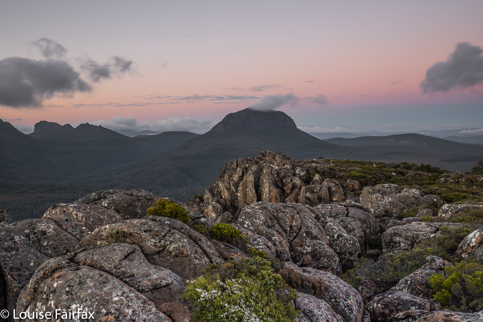
Mt Ossa Dec 2017.

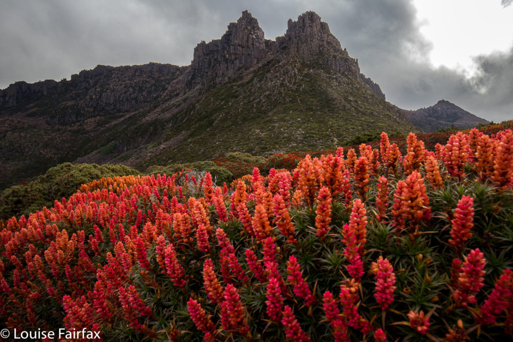
I was mesmerised by my visit to Mt Ossa back in December 2013, when I took a Swedish friend up there to sleep on the summit. What astonished me, amongst other things, was the beauty of the flowers along the way. (I was also captivated by the brilliant views, of course.) I hadn’t realised December was such a magic month in that area, and vowed I’d return with a better camera and a tripod for mach 2 some day. Unfortunately, it’s taken four years to find the opportunity.

This time, there was to be no Elin, and, worse, no Bruce. Off I set anyway, not sure how things would be. I can’t predict my moods these days.

The first part went pretty well, and I was in at Pelion Hut in under three hours, despite my heavy camera gear, and definitely ready for lunch. I hadn’t got away from the carpark until 10 o’clock, so it was not an early lunch. Light drizzle had meant that stops along the way were not really wanted, so I was in need of a good rest as well as a decent feed. I ate my salad roll with gusto. Drizzle changed to steady rain. The world turned dark grey. My spirits are not buoyant enough to deal with that at present. I decided I should turn around and go home, and count this as a good training exercise. I didn’t want anything in this weather other than sulking chez moi with my dog.

I set out for home, but then decided that was silly. Set out for the pass and decided I really didn’t want that either. Such vacillation. To and fro I went with each change off mind, trying to imitate a laden yoyo. In the end, I decided that I should start climbing Pelion Gap, to stop looking so stupid, and to try to warm up with the height gain before I made any big decisions (I was by now freezing with all that sitting around). Once I was underway, I talked myself into believing that I should at least go as far as the pass, even if not the summit, and maybe tomorrow would be more inspiring than today.

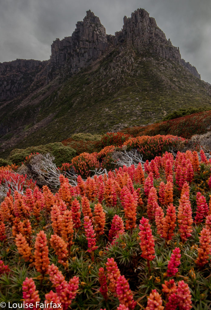
I slowed down the pace and ambled up the slope, enjoying the mossy banks beside the little creeklets, flowing happily no doubt due to the rain. The lush forest was pleasant in the misty conditions. Right near the top, just before one bursts out into the more open area, I had the pleasure of encountering a group of six LWC (Launceston Walking Club) members who had camped the previous night at the hut, and had that day climbed Ossa in the mist. In answer to my query about flowers, they reported that if I went high enough, I would find some (I had been deeply disappointed by the lack of them lower down – part of my general despondence). It was lovely to see people I know and to get warm hugs – and inspiriting to be told the flowers I wanted were to be found after all.

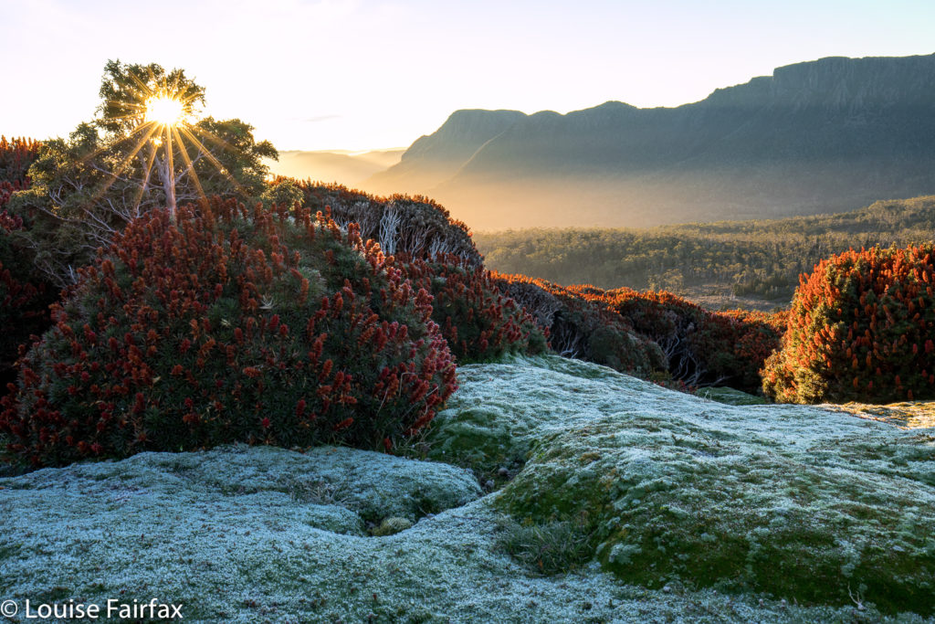
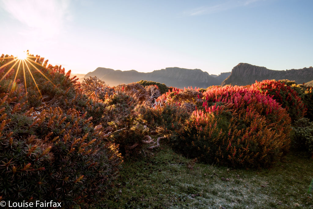
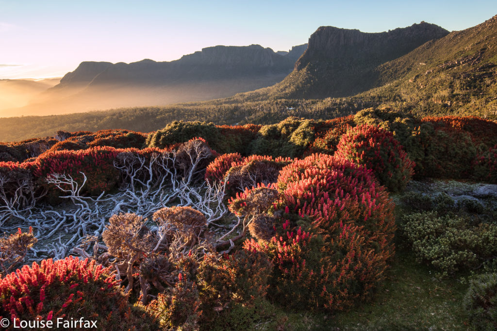
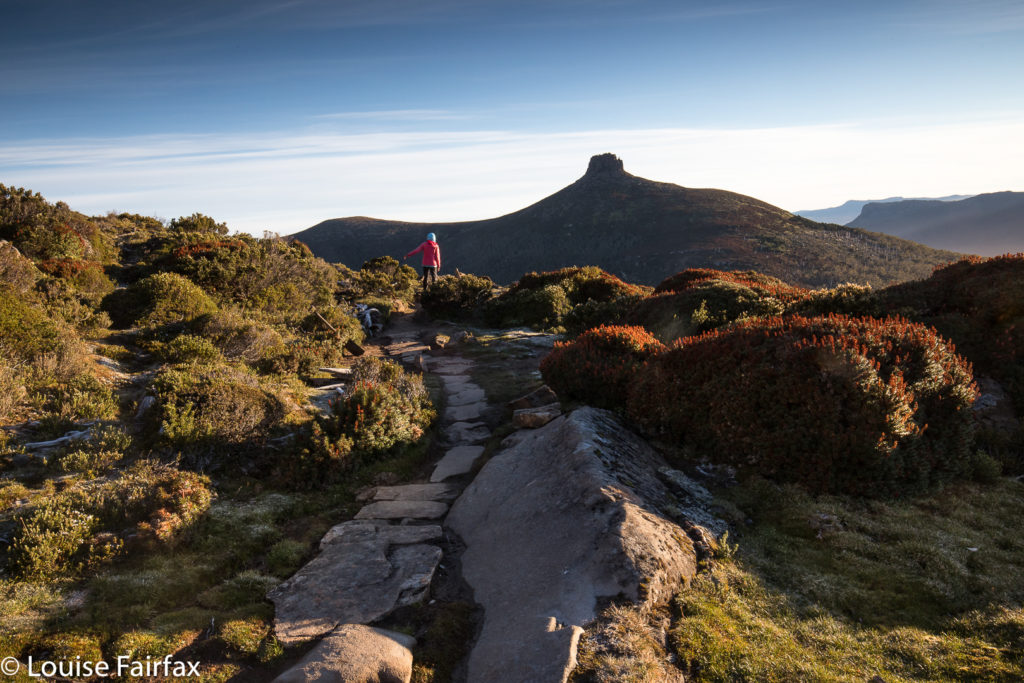
I didn’t stop at the gap, but kept climbing through the drizzle, in search of flowers. I found, I saw, I photographed. A strong wind joined the rain, and it was far from pleasant – and my socks and shoes were pretty sodden – but I was completely happy once I saw the colours of the scoparia flowers I had come for. I managed to find a sheltered spot for my tent – not easy when you’re so high with wind gusting from every direction, or so it seemed – and, in between photographing flowers and sunset, cooked and ate dinner in the protection of my tent.

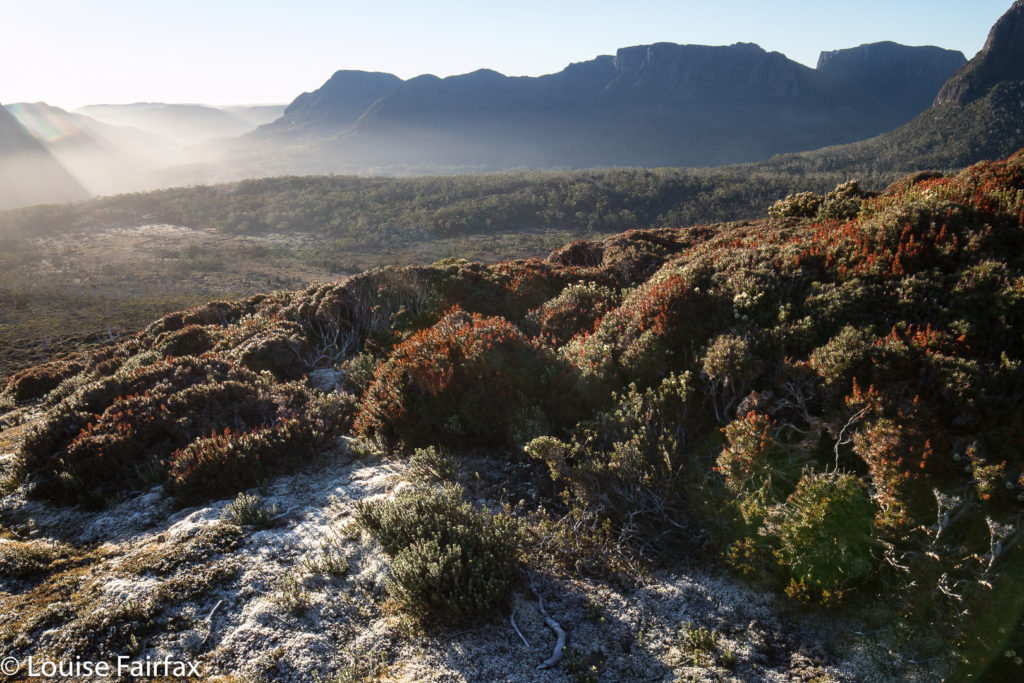
The sky was not colourful at sunrise (or sunset), although the golden rays of dawn lit the flowers beautifully. I have to admit I was SORELY tempted to stay in my warm sleeping bag and not venture into the frost outside, donning wet socks and shoes to do so, but I told myself I’d gone to a lot of effort to be here, and that really, it would be dumb to stay in my tent. I begrudgingly roused myself and put on every layer of clothing I possessed, wiped away the coating of frost on the tent, and got on with the day’s business. Of course, I was glad I did. One can stay in a warm bed almost any time, but one can only get up and witness sunrise on Tasmania’s highest mountain on very few occasions of one’s whole life. And life, I know, is a privilege not to be squandered.