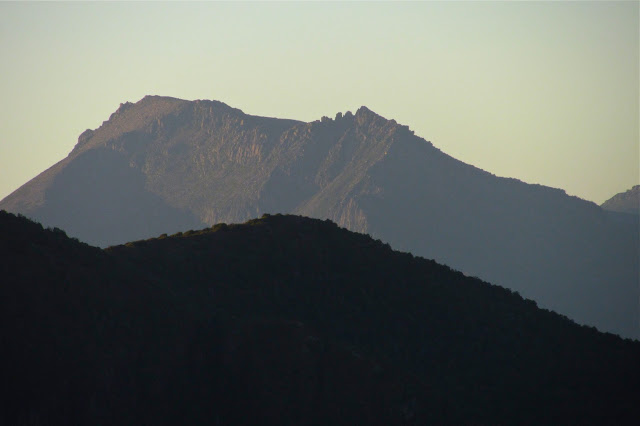
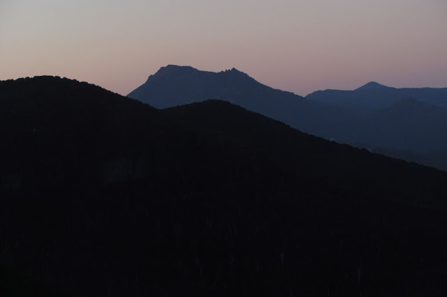
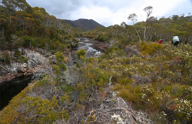
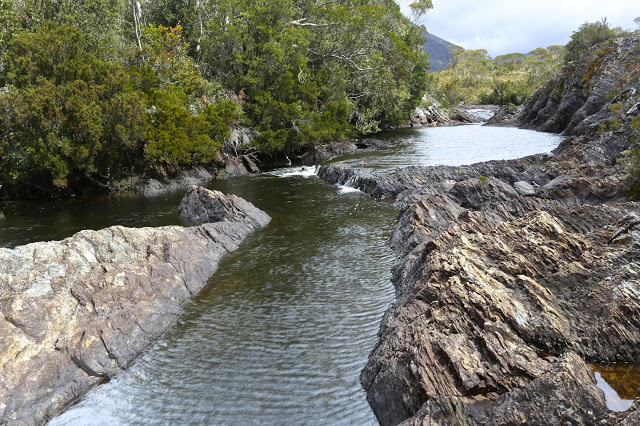
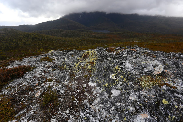
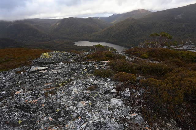
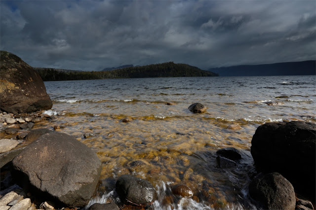
Veni, vidi, vici? No way. We came, indeed. We saw? Never, neither from afar nor from up close. I have had to use pictures from other trips. We conquered? The gps and bit of a cairn both agreed we were at the summit, but it sure didn’t feel like “conquer”. To me it felt as if Gell just couldn’t be bothered fighting us silly ants any longer, so lay down so we could pretend to be victorious. Perhaps in deference to my feeling that I had in no way “won” this mountain, but rather floundered to the top, I never actually stood on her (or, not that I recall. Don’t worry pedants; I did touch the cairn). My lack of standing was, in reality, due to the howling wind, my frozen hands and fear of incipient hypothermia. I crouched on top, a most unvictorious pose. There were no photos: not from me; not from anyone. We all had survival on our minds. Perhaps we all own enough photos of summits in thick mist and drizzle. We all know we did it. A few gps devices no doubt recorded our presence.
From there, we made a hasty retreat to escape the wind. There was no evading the rain. I eventually ate out of duty rather than desire: I was not hungry, but I also know that eating peps up the metabolic rate, thus helping in the fight against hypothermia, so I did my duty. The thought of removing my protective shield, namely, my pack that was keeping my back a little warmer and dryer than otherwise, had no appeal. Shedding my gloves to hold my food was almost intolerable. Give me nice, dry ice and snow any day.
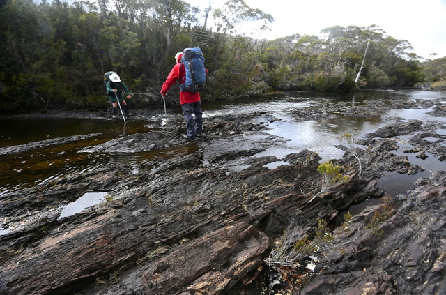
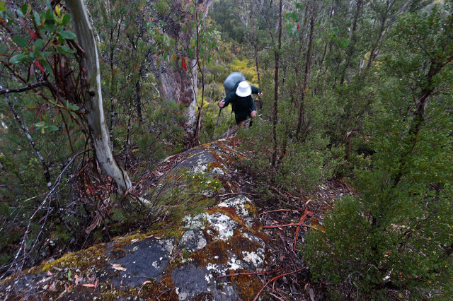
I had totally underestimated Mt Gell, and had only done it the courtesy of reading the report in the Abels II book, which made it sound quite a friendly jaunt. The article made no mention of the marshy web of stubborn melaleucas that guard the flanks of Lake Dixon, nor of the endless kilometres of unpleasant scrub lining both sides of the Franklin River. Not a word was said about the many cliffs that need to be avoided or climbed, which lie between the Franklin and the summit of the Hippogriff (front quarters of an eagle; hindquarters of a horse. Hm). These cliffs were actually fun on both our ascent and, quite different, descent routes, but I do think they deserve a mention.
It took our group 1.5 hours just to get from the car to the crossing of the Franklin (“walk … along a track … until more open terrain is reached”. This is definitely not our experience). It took an additional 5 hrs 13 from the river crossing to the summit of the Hippogriff. It is to be admitted that our coordinator had a very interesting navigational technique, but still, this 6 hrs 45 total is very different from the 3 hrs stated by the book as the time needed from the carpark to this point. The tarn where we camped, a nameless wonder below the summit – and easily visible from there – was a half hour’s gentle stroll downhill, making it a 7 hours 18 mins day. We pitched in the rain. I did unceasing tent exercises (crunches, sit ups, glute and quad contractions) in order to try and warm up from about 7 pm until 10.30, by which time I felt I’d got my core temperature high enough to relax and allow sleep.
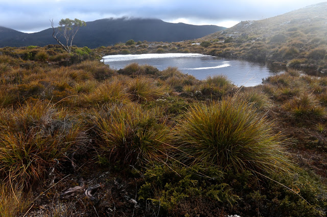
The book seemed to me even more deceptive when it came to the next day, when it says: “(A)n open vale leads down towards Australia Tarn”: whoops. It forgot the thick scrub (drenched for us). “The lake edge offers camping areas”: luckily, we were not in need of one of these as we sure never saw anything that might tempt us to pitch a tent. Our glorious unnamed tarn was far superior. “An obvious ridge is followed … through scrub which decreases in density”. Now, it is true that the sodden, dense scrub eventually ceded to glorious alpine meadows with a series of transparent ponds and streams that I would adore to visit on a nice day (preferably arriving by helicopter), but there is not the vaguest hint of, or allusion to, the series of rocky knolls that are encountered along the way, one of which took us 30 minutes to get around – admittedly in mist, rain and driving, chilling wind. The book says to allow two hours from Australia Tarn to the summit. Due to our “knoll” problems (and more), we took nearly four. Luckily, our way down was much faster: less than two to Australia Tarn, and one more from there to our own tarn. My gloomy midday fears of our being benighted were thus averted.
So far, our mountain had claimed nearly sixteen hours’ hard labour, all of which was done in wet clothing with a wind chill factor that was not inconsiderable. Whether it was raining or not was almost immaterial, as the dense scrub was so full of drenching droplets that further precipitation from above could hardly make us any wetter.
The final day brought a hole in the thick grey above that ceded to sunshine by lunchtime. We made good time up and down the Chimera (Χίμαιρα: a mythical beast made of various animal parts), and cut the 5 hrs 15 mins taken from Franklin to Hippogriff down to 3 hours (not including the Chimera climb) in the reverse direction. When one incorporates that climb, this was a 7 hr 20 day, food stops not included.
All up, it took us 23 hours 17 to climb these three mountains. This was a club trip, so was naturally much slower than when one goes with handpicked friends, but I did think the times were worth mentioning to give an alternative agenda to those offered by the book, in case people are like me, and fail to realise that climbing Gell is a more serious undertaking than might otherwise appear.

