Queensland – Mt Sorrow, Walshs Pyramid and Clump Mt NP.
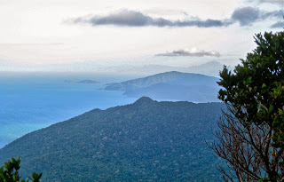
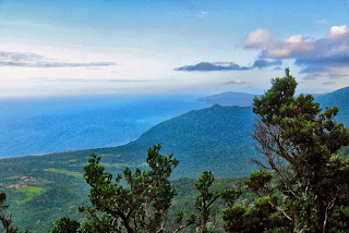
We were in mountain mode, the very best way to be. I had already climbed Mt Sorrow, so originally had no intention of doing it again this trip. It was another mountain with very little to see from the top. However, with one day of flattish running along beaches and boardwalks for my exercise, I was feeling restless and height-deprived, so decided to do Mt Sorrow again. Last time I’d done it at sunset, and almost unintentionally, as the terrified official Queensland bumph had said one needed all day to do it, and I only had an hour of light left when I set out, so was surprised to find myself at the top after a bit over an hour. I descended in the near dark.
Above and below, view 2009.
This time I knew the ropes, so knew it wasn’t a mega-undertaking, but rather a normal morning’s exercise. I was at the top in 1 hr 4 mins, and this time got a tiny view. Unlike last time, I could see the rainforest this edition, and really enjoyed the whole route. It’s nice not to be racing the impending dark, and to just look around and enjoy what’s there. And what’s NOT there is the mass of smoking, yelling tourists. Hoorah.
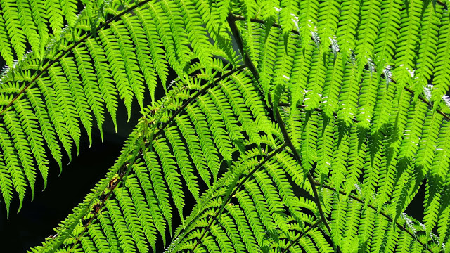
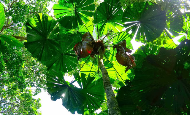
They seem to have infested all the lower areas. Every swimming hole we went to, we drove straight away from, due to noise and smoke pollution. But up here on the mountain it was green and the air smelled wonderful, and the only sounds were those of the birds. I also had a glorious sense of freedom, as I did this one alone, so didn’t have to modify my pace to appease anyone else. I delighted in the liberty of it all: wild and free on the mountain, just how I like to be. I swung like an orangutang from tree to tree as I dodged roots on the way back down. I was very satisfied as I reunited with my husband who’d had a lovely time swimming in my absence.
The next day it was Walshs Pyramid’s turn. This one is 922 ms high, and the start seems from the map to be about 50 ms asl. When we first saw this many years ago driving from the south, we marvelled at its perfect pyramidal shape. It was no surprise to see that its official name gave testimony to that form. Unlike the other two mountains of this trip, this one is in very dry bush. It also has no water. Because of the general heat, I opted for a late summitting experience, …. but was further delayed, so needed to head up pretty quickly, in a not too unusual race with time. Even setting out way too late as I did, it was quite hot for the first half hour. I also took a wrong turn, and followed it for too long, annoyed that the map at the bottom was not reflected in what this track was doing, and that what it was doing was counter intuitive (it was contouring, not climbing). I eventually decided to go back to the last seen marker and examine things more carefully. This happened again later, but not for so long. There are many false trails up there, and it doesn’t pay to be in the kind of hurry that I was in. With darkness closing in, I was delighted to meet three very nice, NON-smoking Germans who said I was about 20 mins from the top. I was delighted on this occasion not to be the only one on the mountain. I dashed on, enjoyed the view – definitely the best of all the views, especially on this occasion with the sun setting and the whole sky red, the mountains all around marvellous silhouettes in the roseate gloom. The Germans had 40 mins on me when I departed the summit. I descended far too quickly for safety, but wanted to get down before total dark – or at least reach the others and descend with them. I arrived back two minutes after they did, once more very, very satisfied with a wonderful mountain. I was very sad not to have taken my camera on this one, but speed had been very important on this occasion, and the weight of my camera is not insignificant.
We picked up the rest of the family at the airport and moved to Mission Beach.
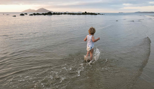

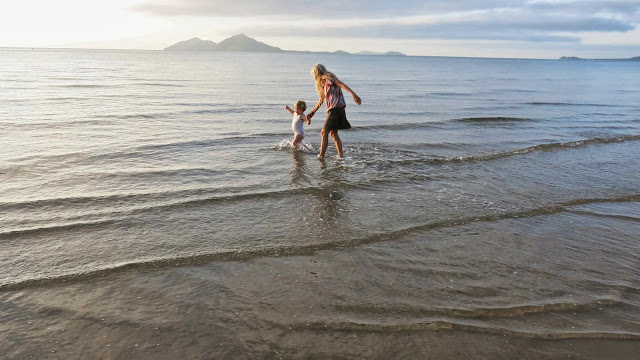
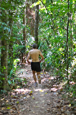
There at Mission, my daily drag was to run in Clump Mountain National Park, up a nice rising with an excellent view from the top over the ocean studded with islands, the beautiful coastal beaches and the hinterland. The bumph says this takes one and a half hours. I take fourteen and a half minutes to run to the top, less to descend. The run is so short I have to do it twice in a session to get enough exercise. The usual dangers and warnings attend – the possibilities of being attacked by cassowaries, stinging trees, dehydration and more. The Swedish girl with me was quite frightened, and I had to do a great deal of reassuring before she nervously set out with me. They are very, very scared of being sued in Queensland, to an extent that cripples activity
.
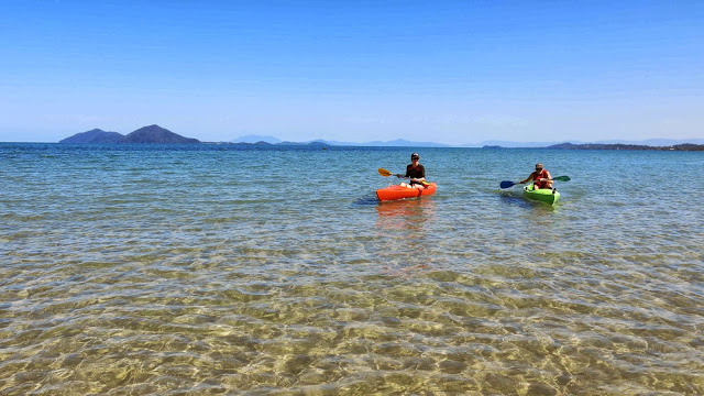
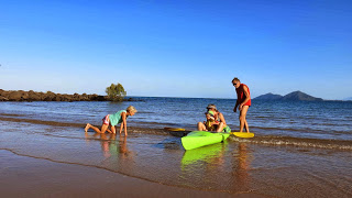
Unfortunately I was racing down the hill quickly on my final descent on the last day, and not paying attention to the ground at all, and I rolled my ankle on a pebble (an activity for which I have a profound talent, thanks to my former orienteering days that have weakened all my ligaments in that area). Luckily that was the last run on the schedule anyway. Luckily for the Queensland park I was in, I consider that to be my stupidity, not theirs, so did not think about suing. I was reduced to crawling or hobbling using a broom handle as an improvised crutch, but that didn’t interfere with kayaking, so all was well. I crawled down the beach, climbed into the kayak and set out for the distant reef across the cerulean waters.
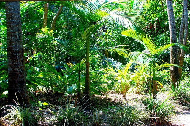
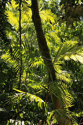
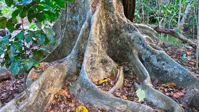
Having not wanted this holiday as I was about to land, I now didn’t want to end it. I had accustomed myself beautifully to rainforest running, warm days with balmy evenings and a life of mountains and swimming. Pity there aren’t more trails up those plentiful mountains. I tried pushing through the rainforest for an ascent of Cape Tribulation (just a bump) but was driven back by the tangled mass of undergrowth and the possibility of unwittingly grabbing a python as I pulled myself up by tree trunks. Besides, I love going quickly, and for that one needs at least a vague pad. I went over the saddle on Cape Tribulation many times, staring mournfully at the forest that had defeated me, but also knowing that there was quite possibly no view from the top anyway. Rainforest trees are tall, and I am very small – a bad combination for viewing.
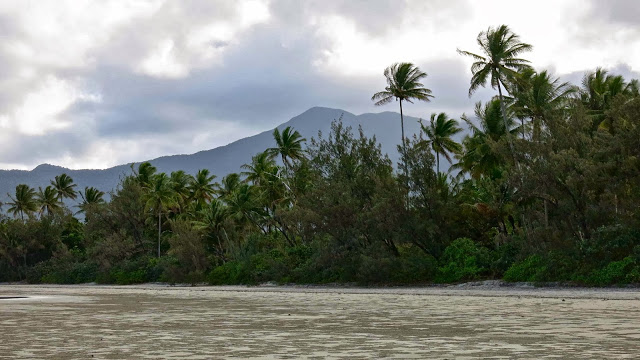
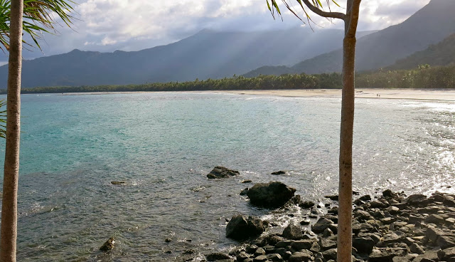
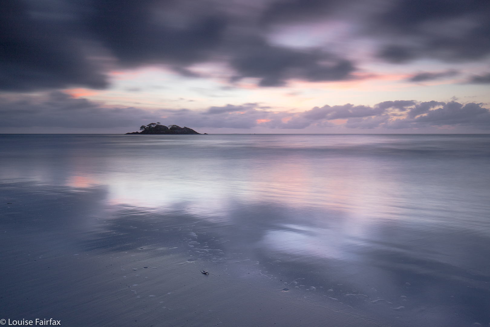 First night after arrival: Thornton Beach, an old favourite.
 We land in Cairns, and I usually run the Blue Arrow track before we leave. This year, I ran it until it forked into a blue-green junction, the blue going off to Mt Lumney, my usual, and the green to Mt Whitfield. I had never tried this option, so took it this year for a change. Residents of Cairns are so lucky to have these beautiful trails through lush rainforest right on their doorstep. The track is very steep indeed: a great introduction to my diet of mt-in-your-face style inclines of this region.
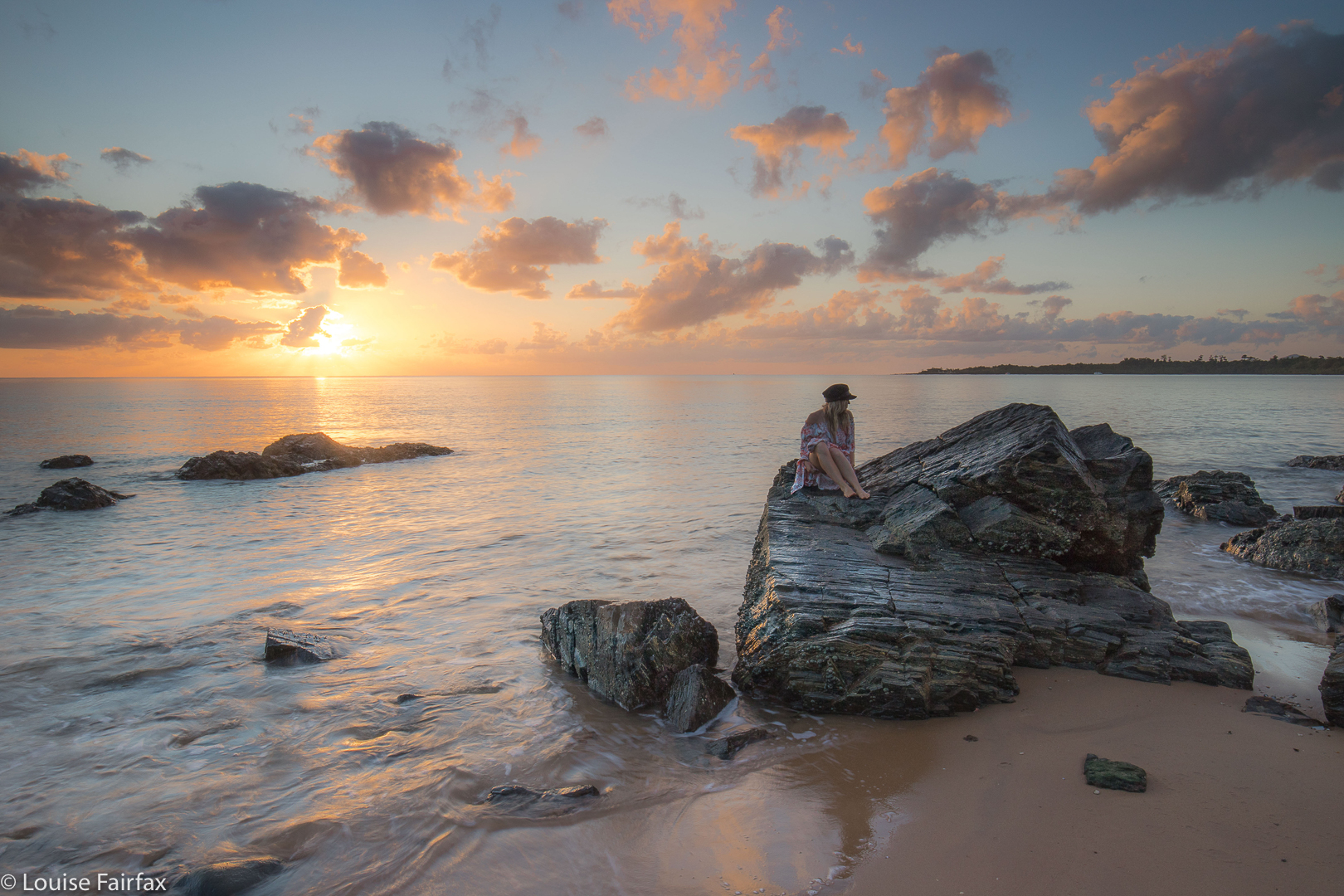
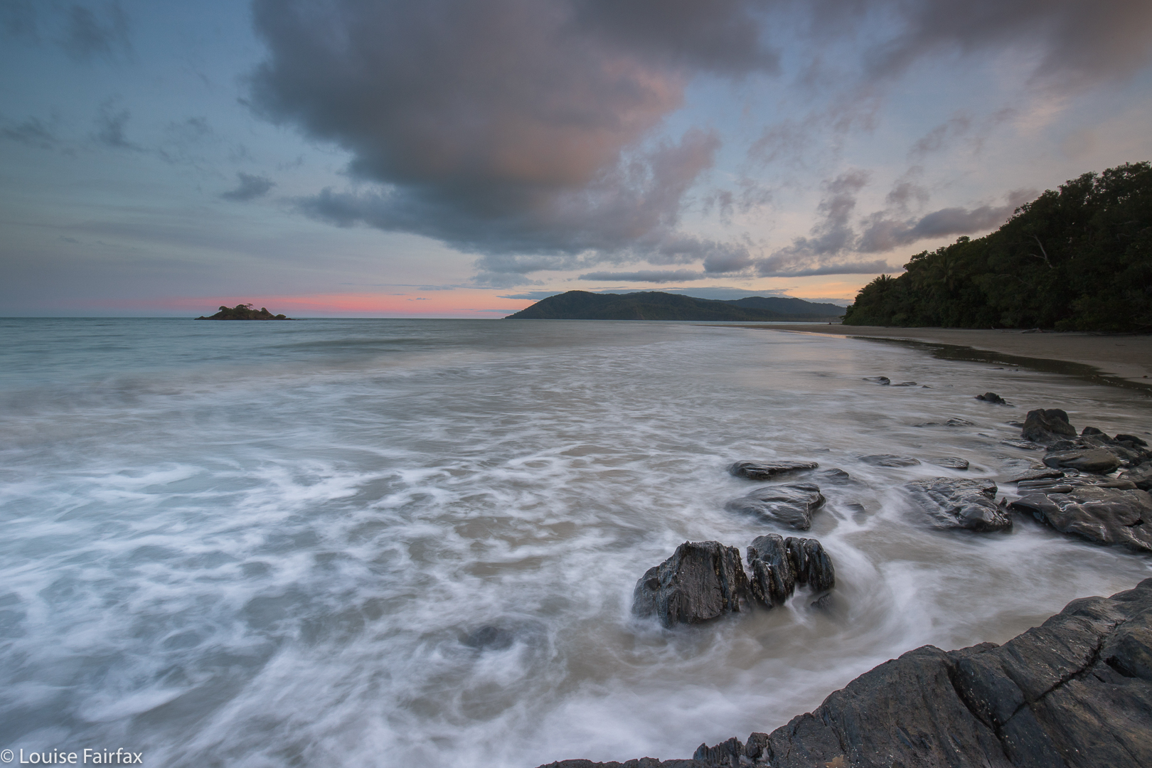
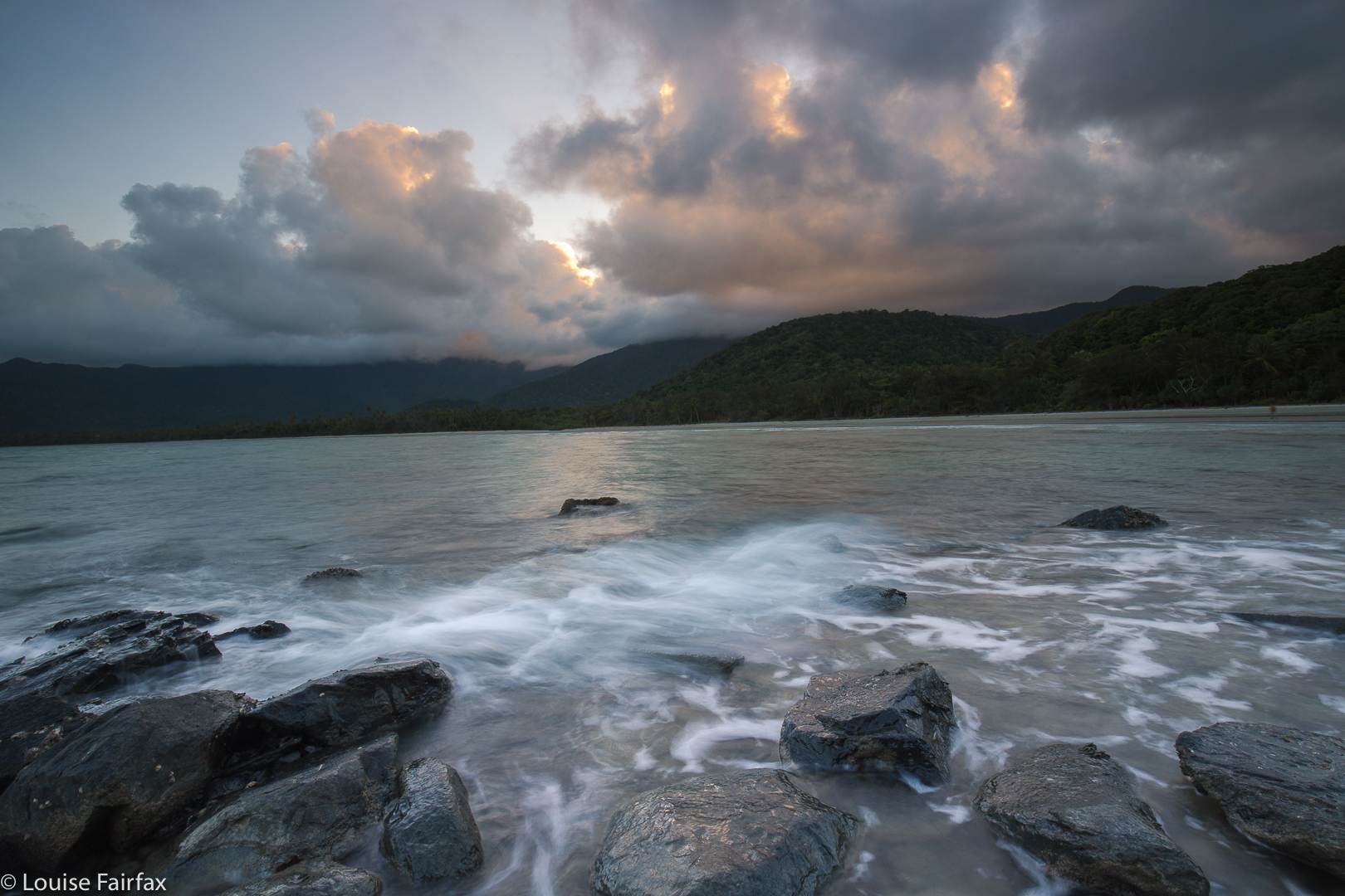 Cape Tribulation, sunset.
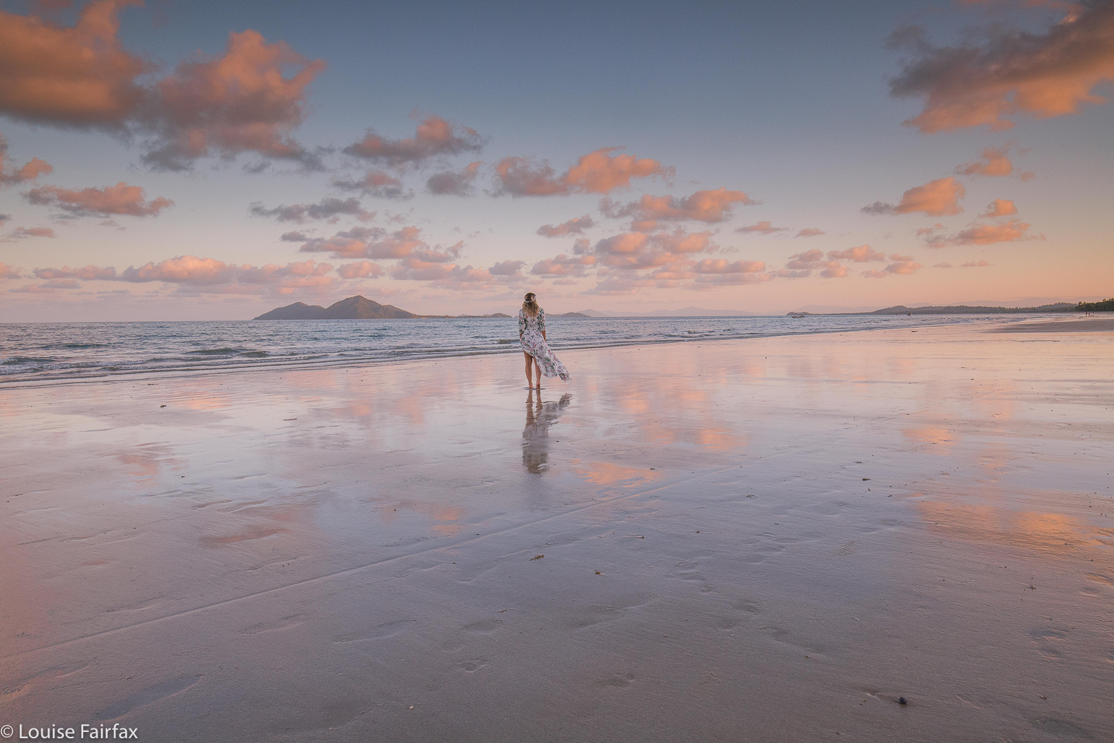
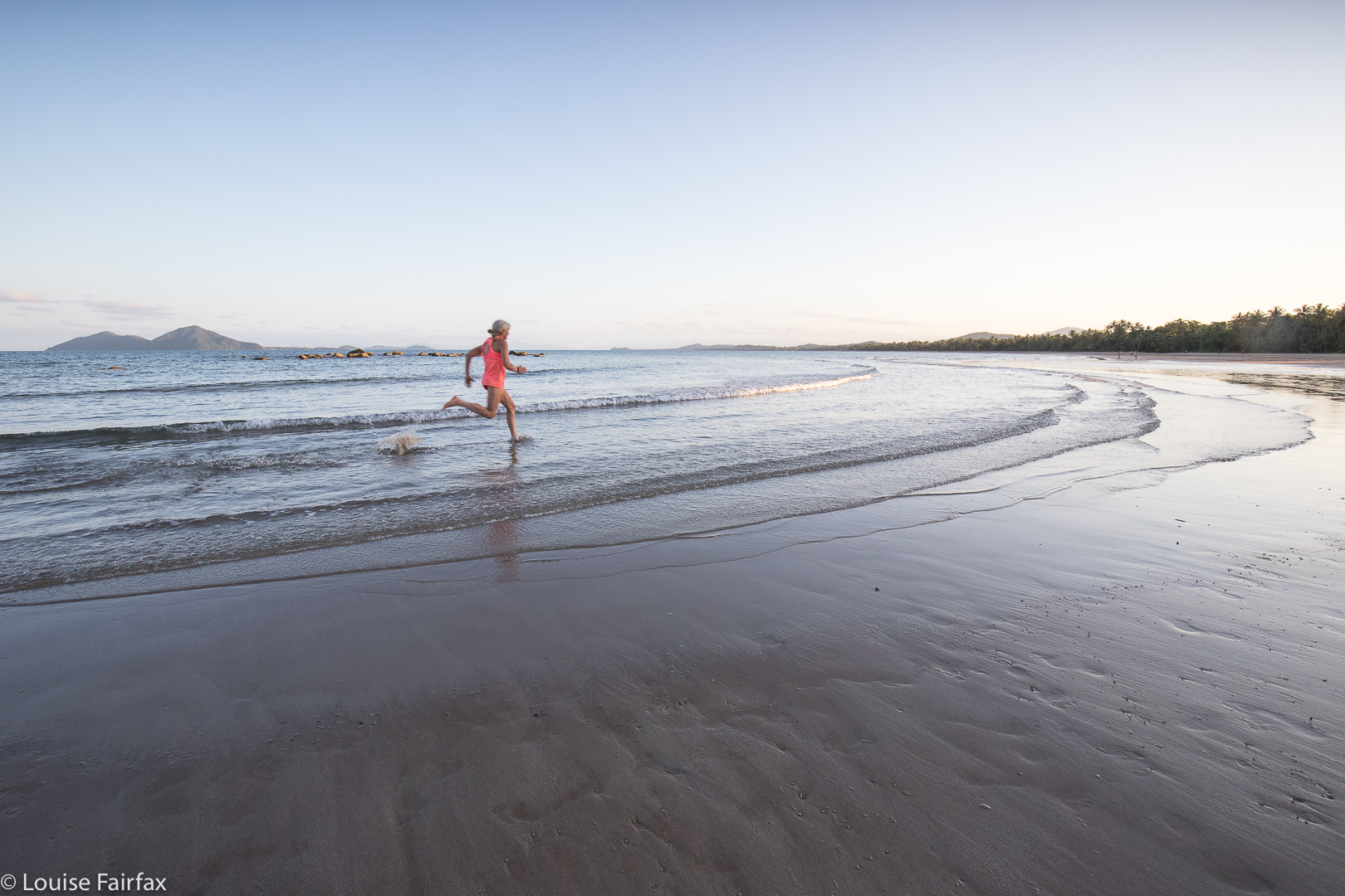 Me, playing on Mission Beach.
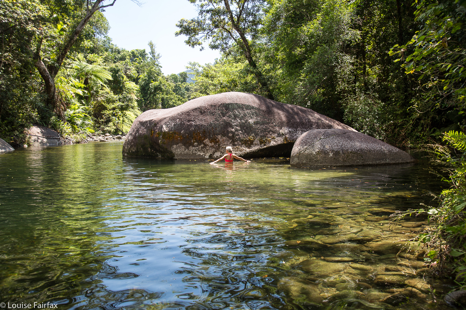 Well, we did visit one tourist haunt: the Babinda Boulders. The clarity of the water and the colour of the green are wonderful here.