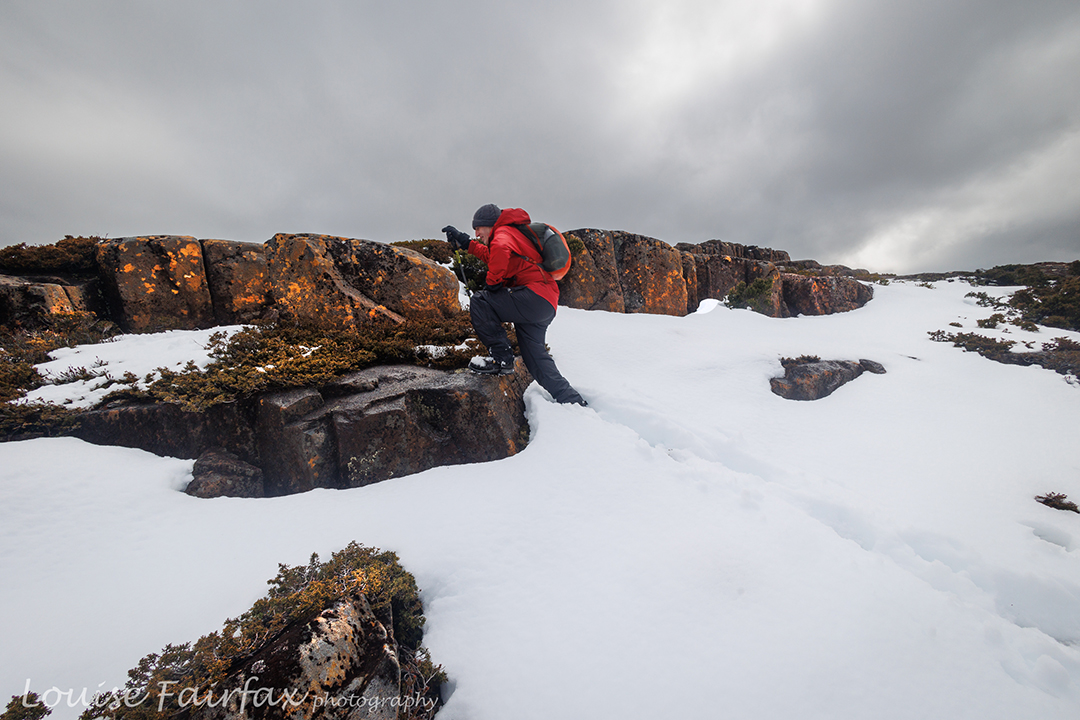
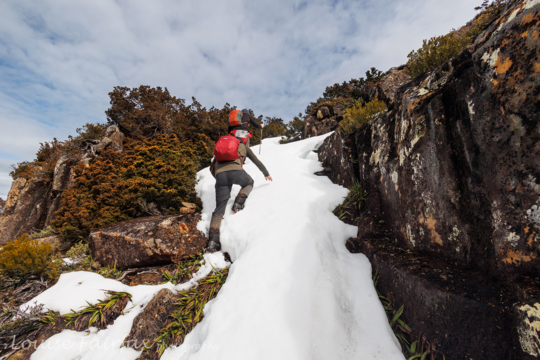
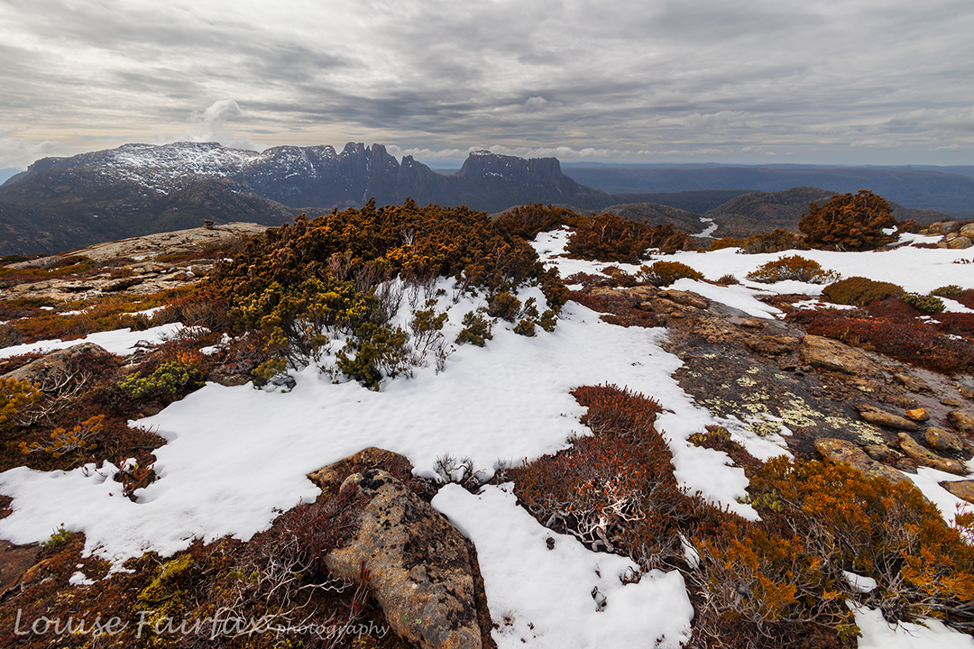
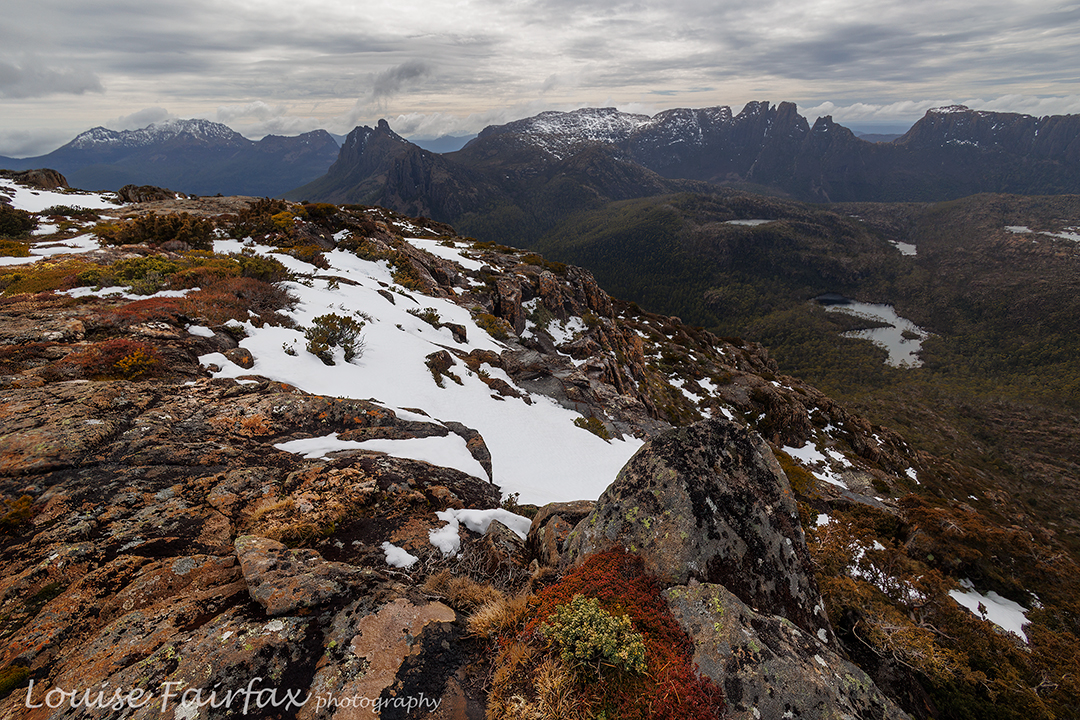
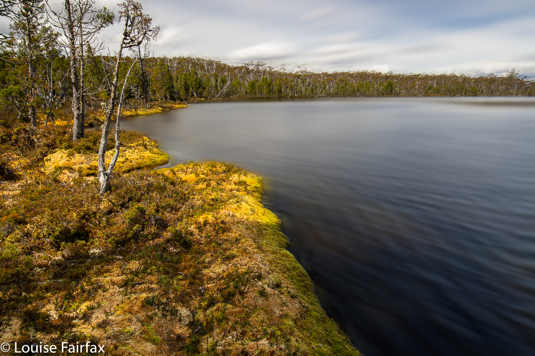
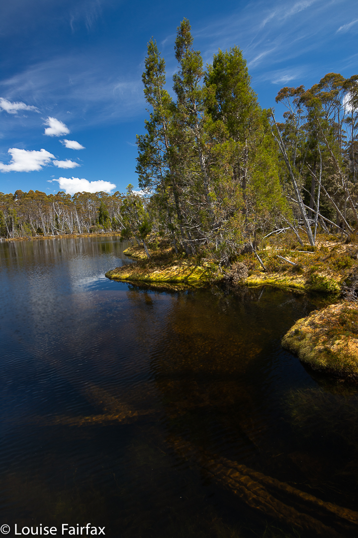
Inglis Escarpment 2024 Apr

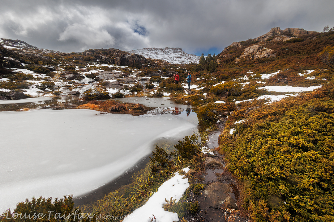
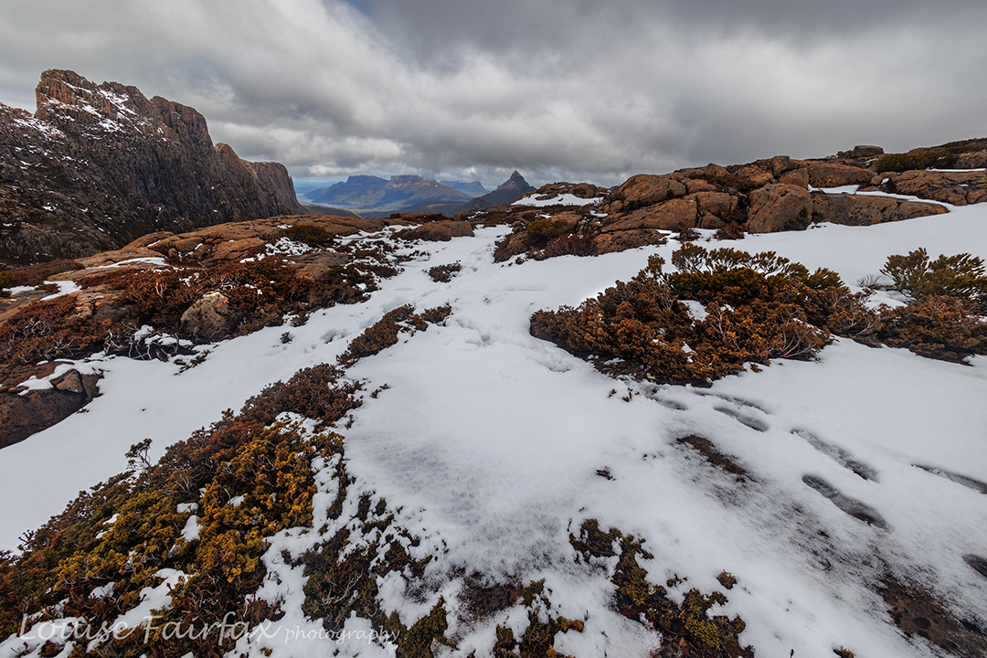
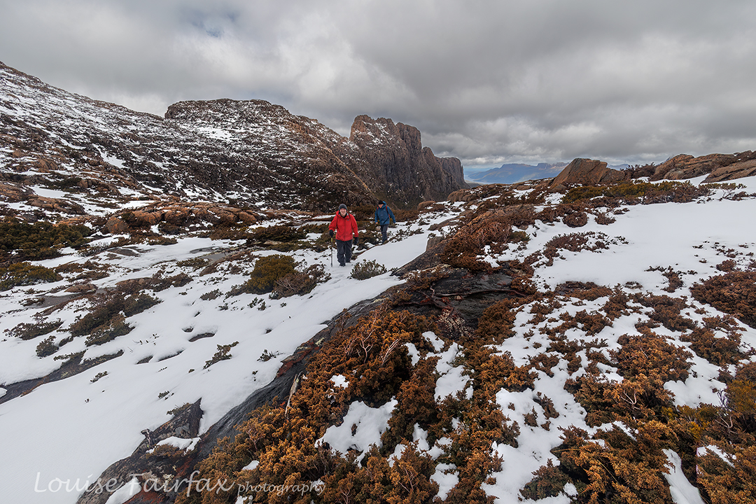
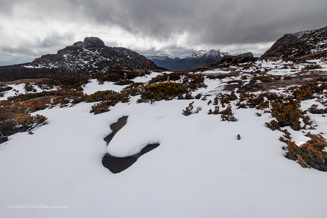
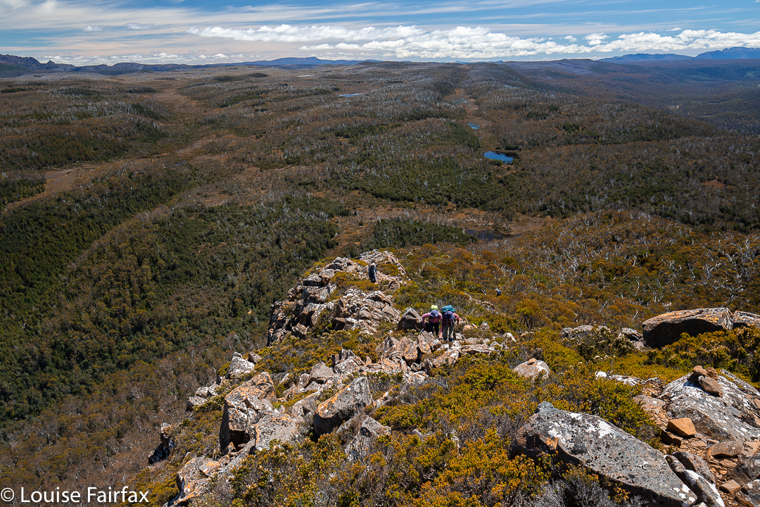
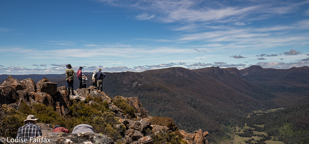
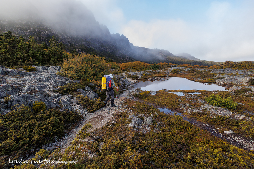
Inglis escarpment is not a name on the map, but where we went has no name, and I had to call this blog something, so I settled on Inglis Escarpment: after all, Mt Inglis was up behind us and we were on a wonderful escarpment with grandstand views, so hence I have given the area that blog name so I can refer to it.
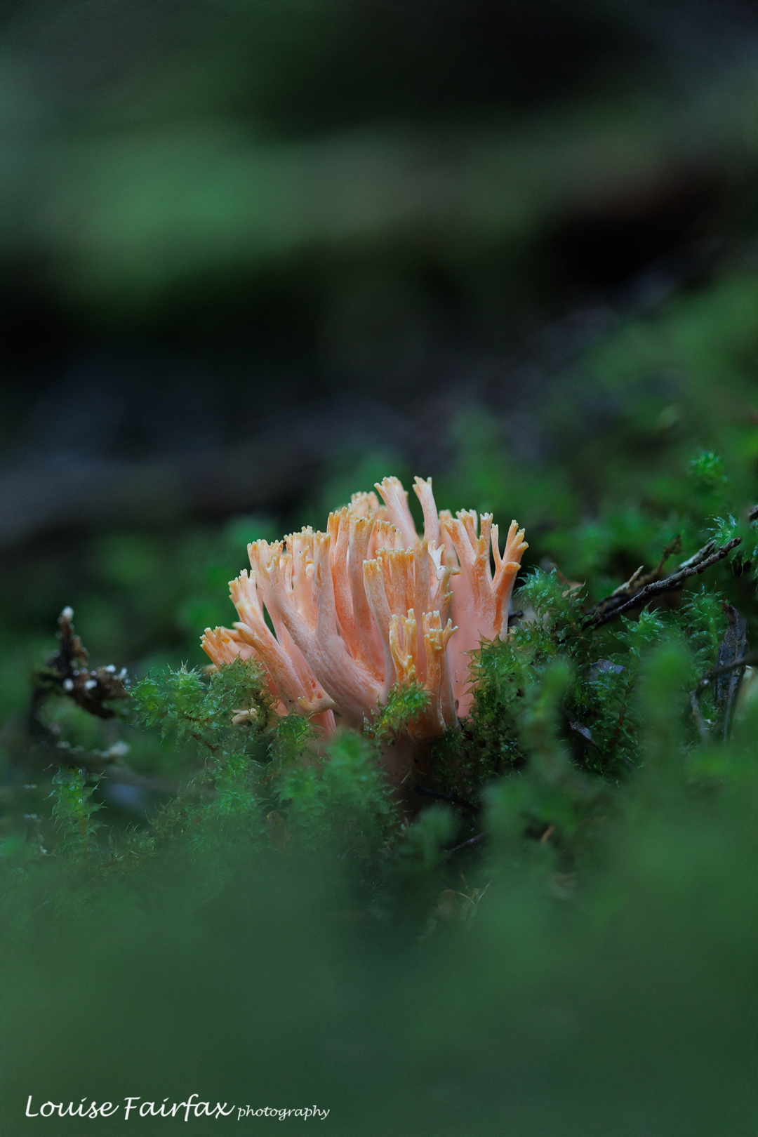
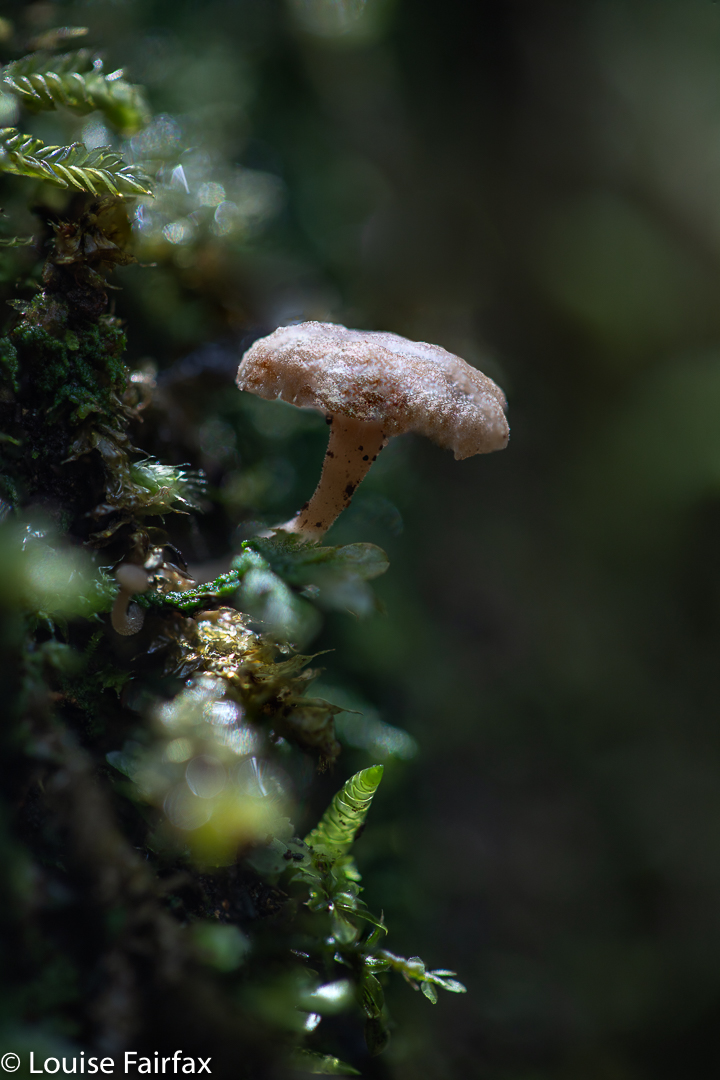
Ramaria samuelsii. Not too many fungi, but at least we got some.
Adrian out the back of Cradle
Me. Thanks Adrian

I went with my waterfall bagging friend, Adrian. As with our last trip, we had hoped all four of our group could come, but Caedence is off playing cricket in England (congratulations) , and Leandra had other commitments, so the group was whittled down to two.
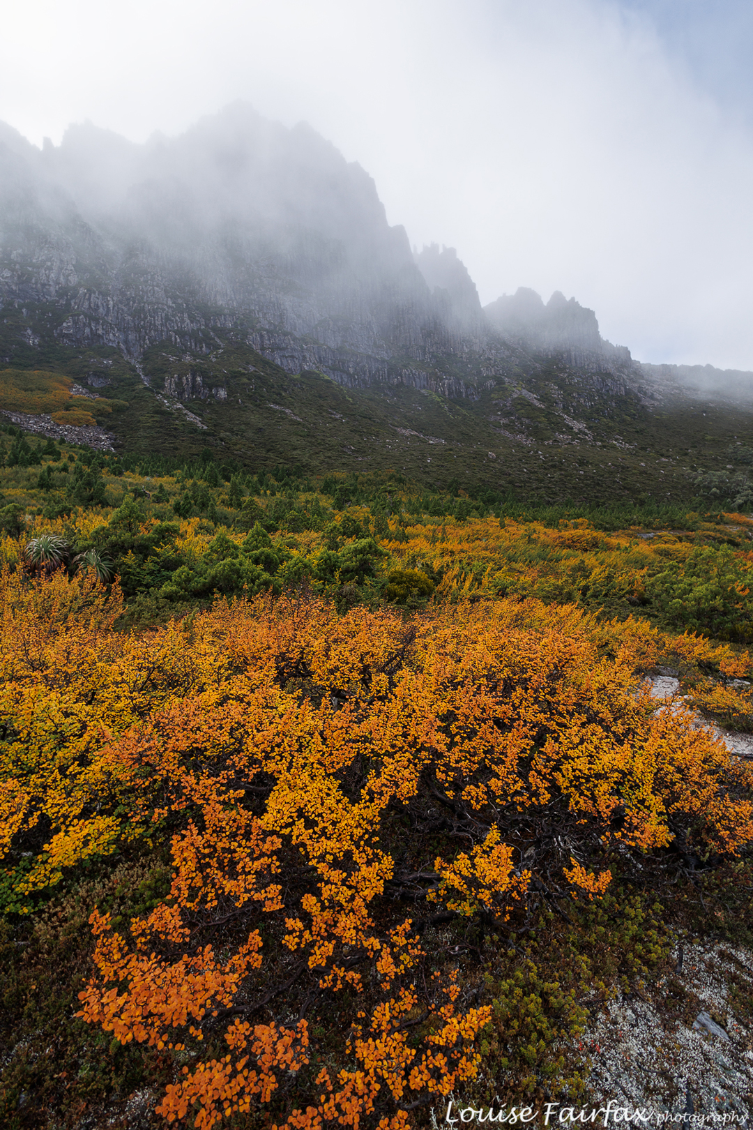
Nothofagus gunnii doing its thing.
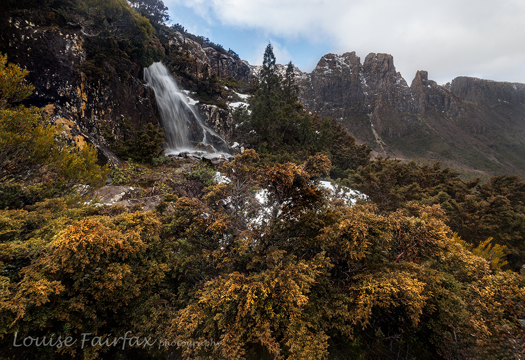
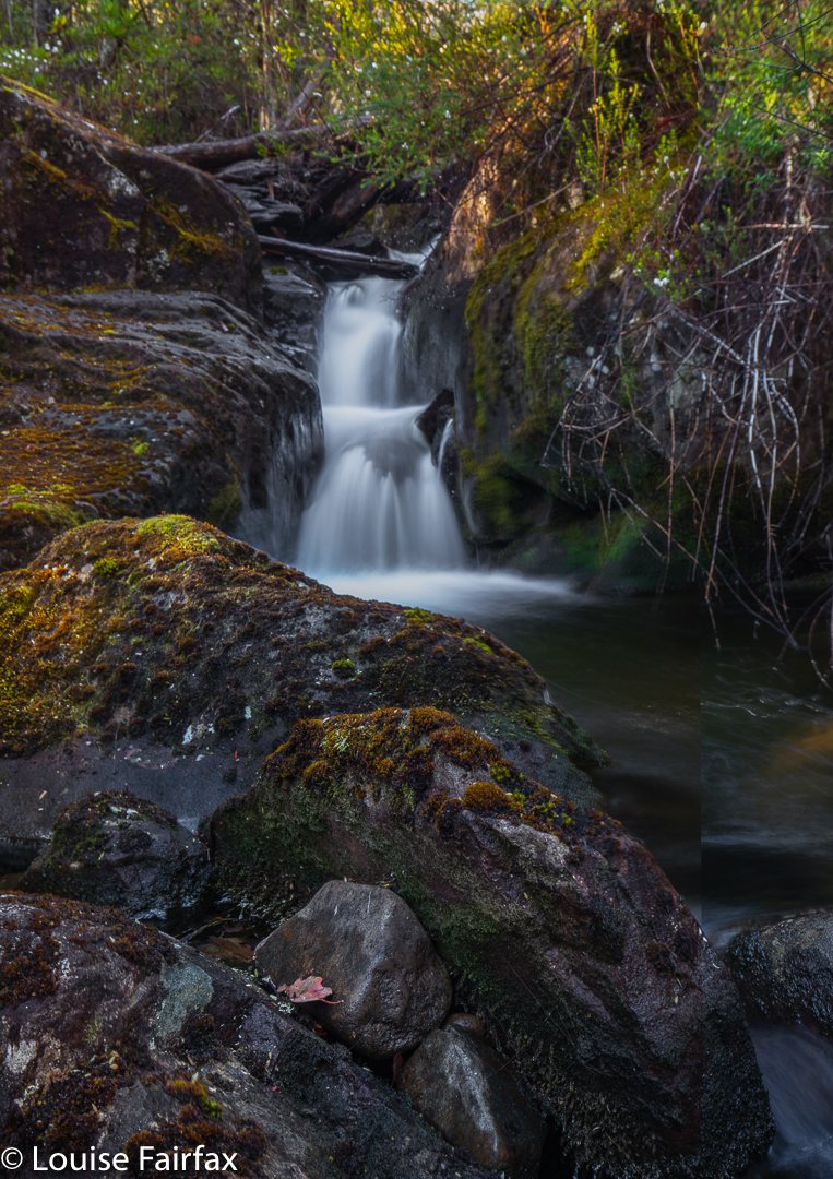
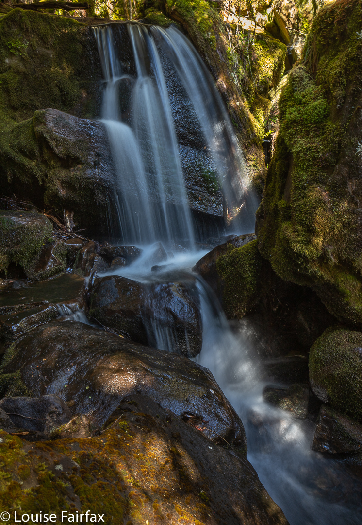
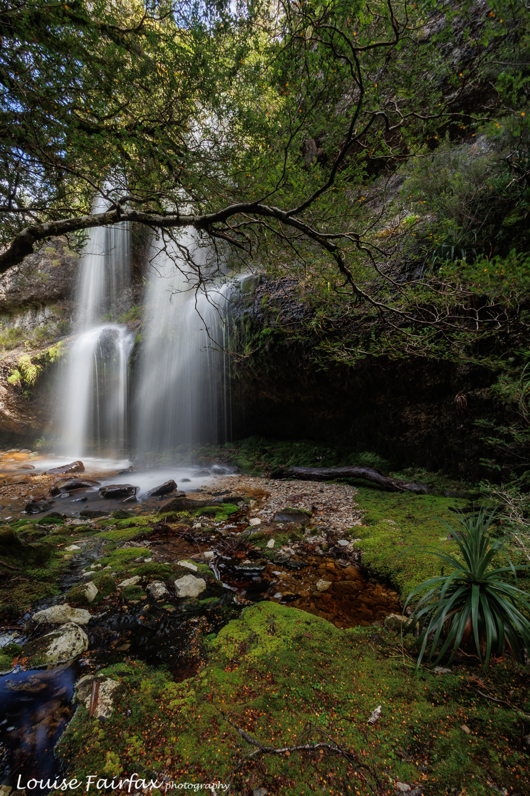
Pretty waterfall

Our basic plan was to spend more time in the beautiful Bluff River Valley, and revisit Tomahawk Falls. That was the reason given, but really, we both just love spending time in off-track wilderness, imbibing new views and enjoying new vistas on the grand scale, and delighting in the minutiae of nature closer up.
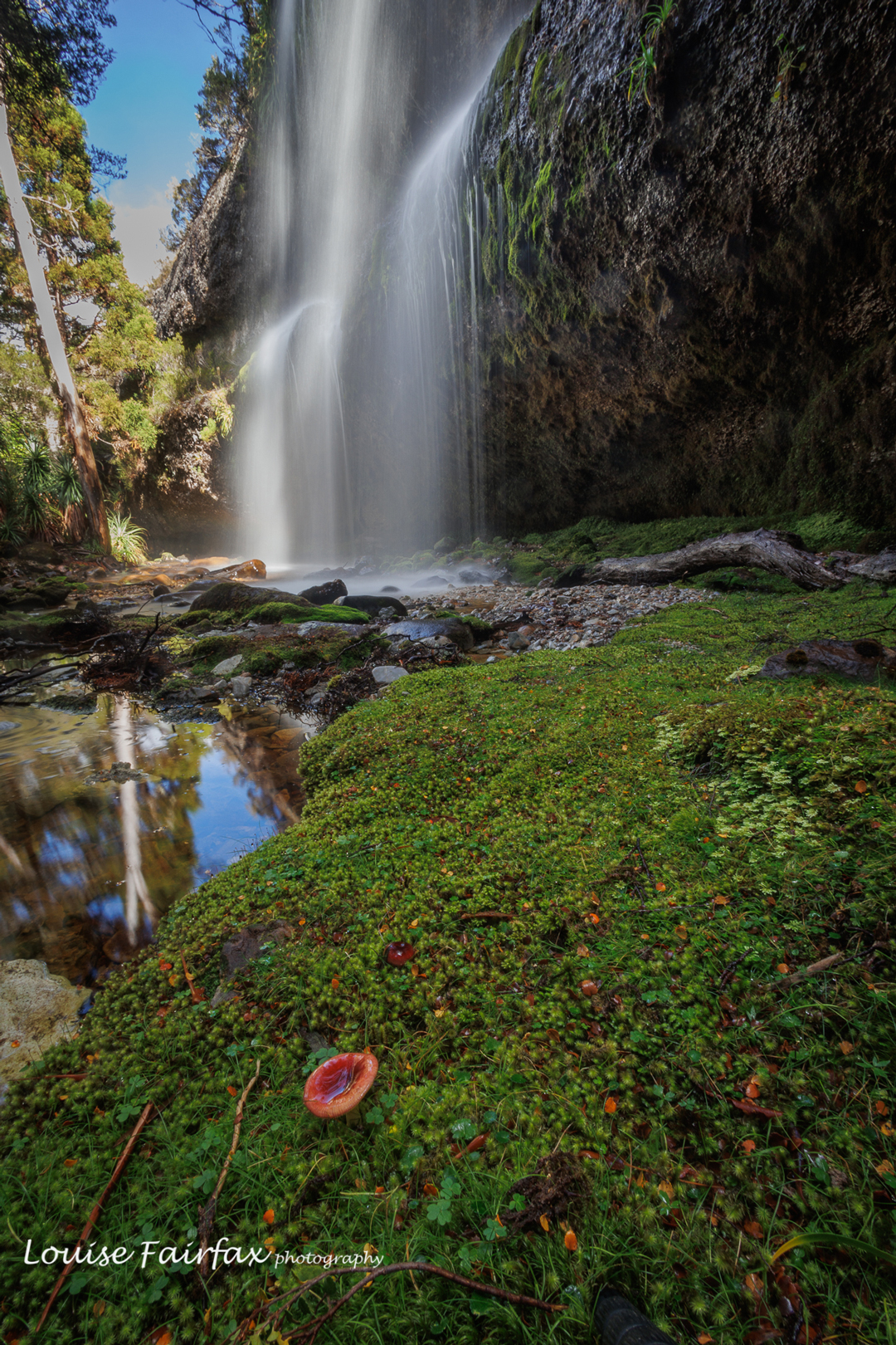
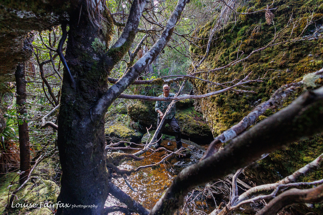
Russula persanguinea plus a waterfall. does it get better than that?
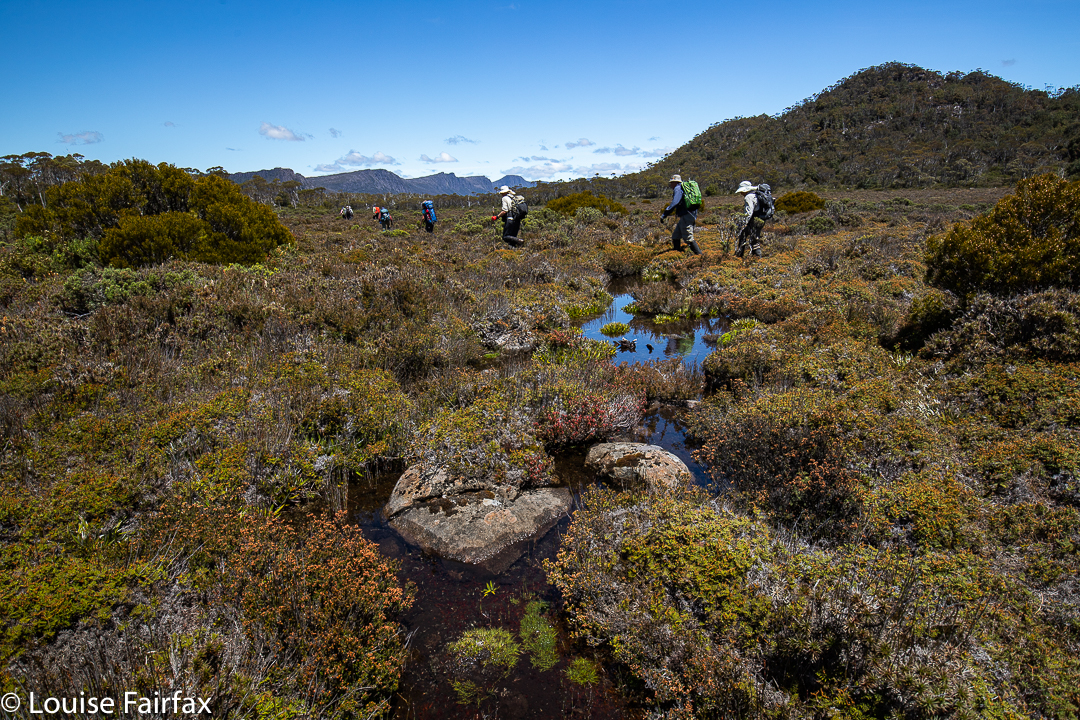
Bit of water bashing, bit of scrub bashing … our idea of fun.

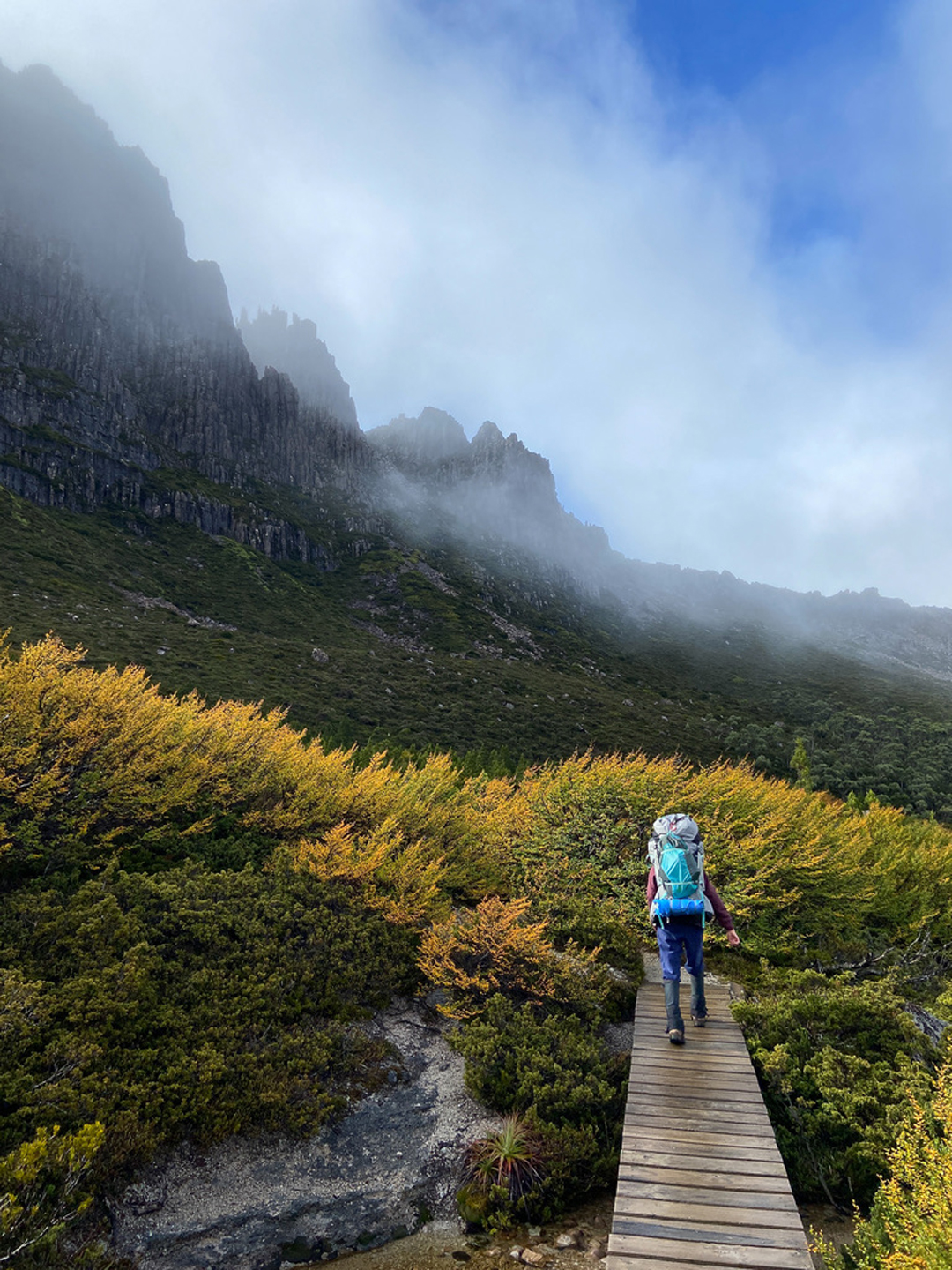
To get off track there, you have to first swallow a fair bit of the Overland Track with its necessary boards and stonework, but we dealt with that pretty efficiently. It hurts the feet, but at least you move through it fairly quickly, and the scenery is still lovely. We had our first short break at Kitchen Hut, another even shorter at the Igloo, and an early lunch somewhat near the Lake Will turnoff, before heading off in that direction to begin other wanderings.
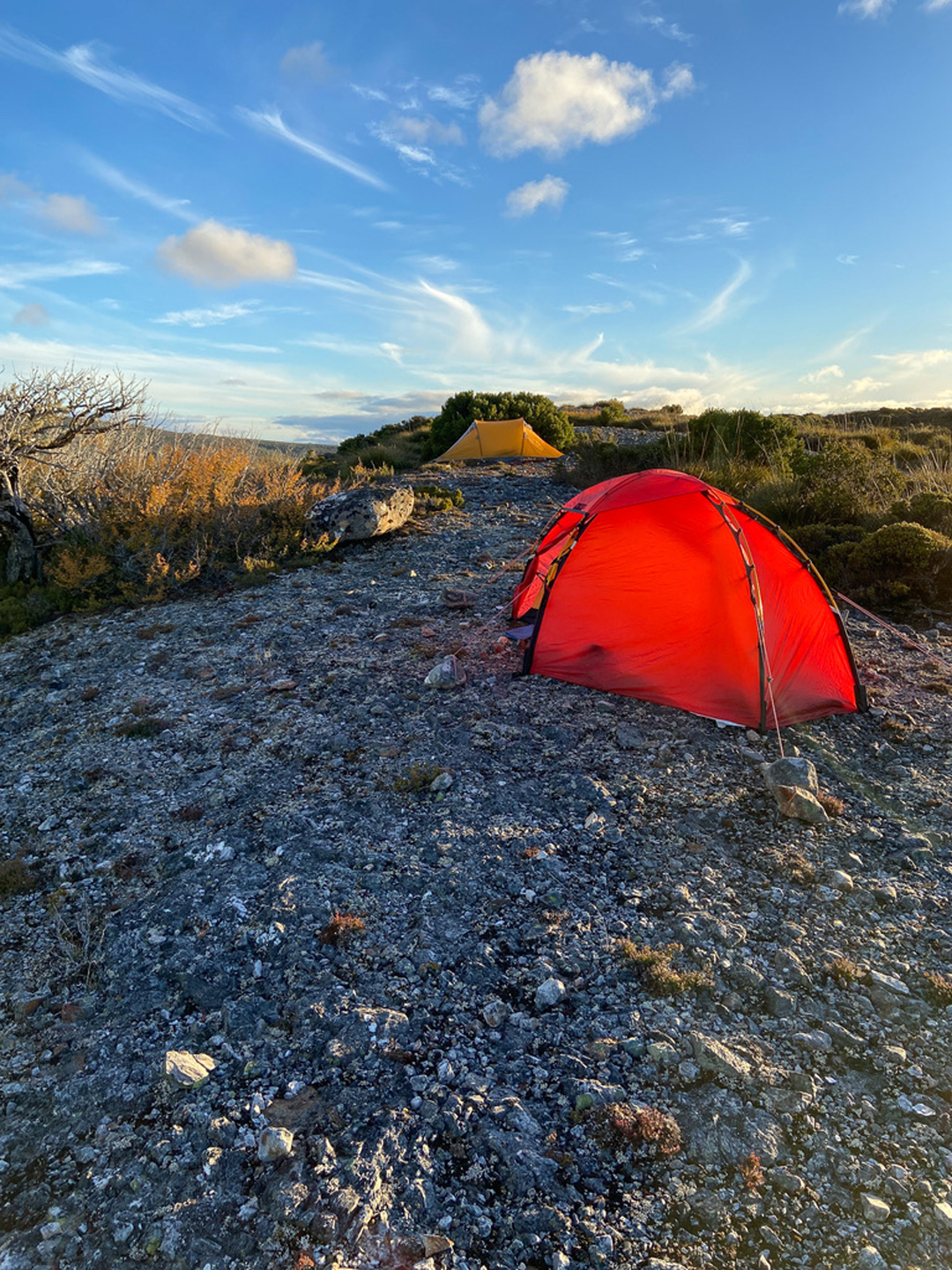
The wise girl pitched her tent upon the rock??? And the wiser man pitched his near a protective bush. No problems: no wind was forecast and no wind came. Thanks for the lovely shot Adrian.
Taken from my tent. Talk about lazy.

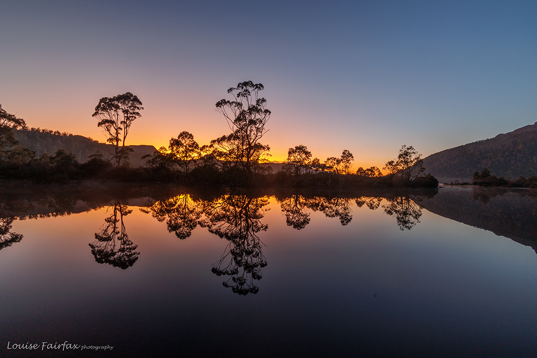
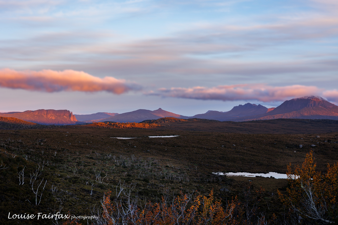
As you can see from the photos, we visited pretty waterfalls, and got a marvellous sunset. I have to confess that several photos were taken from inside my tent, as it was starting to get pretty cold after the sun had set. We were so busy exploring nearer falls that we didn’t have time to get to Tomahawk on day 1.
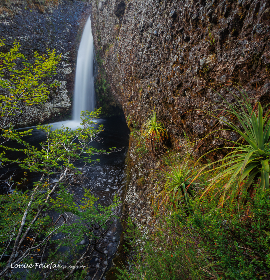
Innes Falls
Sunset. Inglis Escarpment. Sigh. This is also taken from my tent, as it was now getting very cold.

This was intended to be a four-day trip, but when we awoke to rain on day two, and saw the latest forecast was for rain for all the rest of the trip, we decided that we didn’t want to photograph in the rain, and neither did we want to hang around in our tents doing nothing. Walking out in the wet is much nicer than sitting being inactive, so we packed up our gear and returned home, saving Tomahawk for another trip.
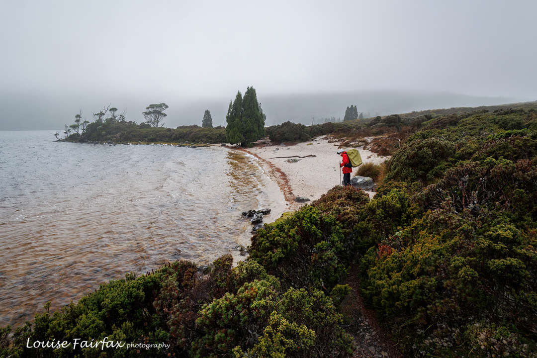
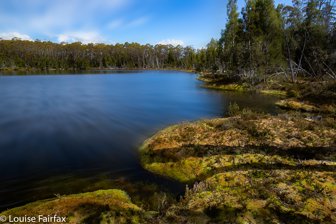
Time for man to go home. Lake Will.

Adrian’s stats say we walked 60,000 steps in the two days. My watch says we did 10 hours 40 mins pack-carrying walking (not including any breaks or non-pack exercise), the time pretty much divided evenly between the two days. This was a nice amount of exercise. The rain wasn’t too heavy; the world is good. We both felt perfectly content that the trip had been worth it.

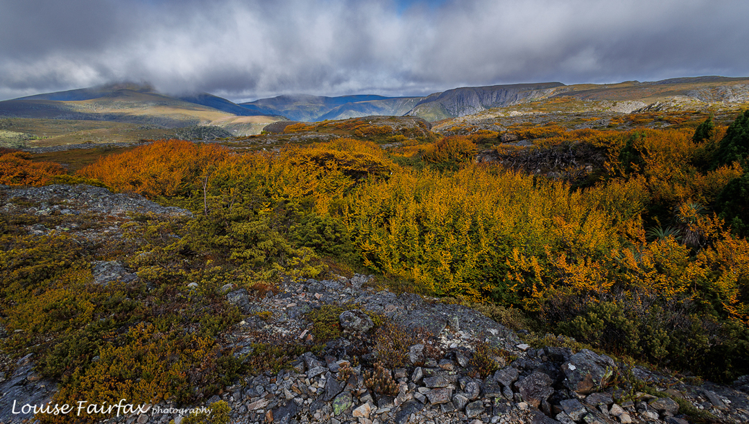
De Cane Range 2022

I love the Du Cane Range, and seek any excuse at all to go there. I have been planning a night’s sleep at its high point for a very long time, so when I saw its name on an HWC list, I was excited. It wasn’t the trip I have been mentally planning for myself, but it can wait until summer, and meanwhile, it would be fun to just be there again and climb a few mountains. As it turned out, I ended up going there with only two others, and the snow was so deep we didn’t complete our original plan of three mountains, but we sure did get to see some beauty.

Valley scenes by a sodden track

I broke two ribs a couple of weeks ago, and this was my first pack carry since then, so I decided to catch the ferry to Narcissus, and meet the others, who were walking in, at Pine Valley Hut. That would give me plenty of time to see how the ribs were coping with the heavy pack, and the afternoon to do some packless exploring after I’d arrived. The ribs were fine, and in the afternoon I took some shots of the flooded valley and then went up onto the Acropolis plateau where the wind howled and light rain fell. Valley and heights were ankle to calf deep with water from the recent rain. It was going to be an “interesting” trip.

Du Cane Range near Lake Elysia, climbing
Du Cane Range Lower Falls

Three of us set out next morning for the heights, and I was excited to see the first snow before we’d topped out at the Parthenon saddle. Flippers would have been better than boots for getting around Lakes Cyane and Ophion, and, despite the forecast for just cloud today, light rain continued to fall, as it had done the day before. Lake Elysia looked magical in the watery mist, alternatively (and tantalisingly) hiding and revealing Geryon and The Acropolis. We stopped there for a snack and some photos before moving on.

Du Cane Range .. getting higher
Du Cane Range snowy scenes. Gould peeps out behind.

At some point in there, the force of the wind coming in from the west hit us, and I started to wonder about the sense of camping up high in the snow in this wind (our plan). Luckily Paul was thinking the same thing, and Phil agreed. Our new plan would be to camp at the Pool of Memories down lower and in a sheltered spot, and then try for our goal of Hyperion with only daypacks, returning to the gentle harbour before nightfall. We were already thinking that Eros would probably be omitted.

Geryon looking ravishing today. Paul and Phil
Hyperion from the shelf. Ossa behind.

Thus, when we reached the Pool, we dumped the heavy packs, pitched our tents in readiness for our later return, had an early lunch and then began climbing through the snow. This part of the day was absolutely magic. I took heaps of photos: the tale is one of beauty and vistas.

Paul climbing towards Hyoerion, Du Cane Ra
Climbing Walled Mountain

For me as photographer, plenty of action was required, as I had to run to catch up after each shot – kind of interval training – which is fun, but I did note the truth of the words that a photographer of this type needs to be a fit person. I enjoy the challenge: I mostly shot from behind and caught up; every now and then I went up ahead to get a front-on shot.

Walled Mountain near the summit

The third day was Walled Mountain day. This would be my ninth summitting of Walled, done this time in boring daylight hours, so I was tempted to skip it and just move on. However, I decided the exercise would be good for my fitness, so stayed with the other two. I am so glad I did!! It was absolutely wonderful up there, and nothing like the boring dull-light summiting I was anticipating. Descending, glissading through the snow, was a blast.

Walled summit to Du Cane HP, Geryon, Acropolis
Walled to Ossa, Hyperion et al

On we went and then down to Pine Valley for a late lunch, and finally on to Narcissus for dinner and to sleep the night. I pitched my tent by the river, and listened to its soft flow as I fell asleep. Already by this stage, my feet, having been pretty soaked for all of every day, were starting to blister up. Day four would be agony.

Leeawuleena dawn; last morning

It was. I slowly trudged the distance, taking nearly as long as the advertised time I was so slow, but that pace gave me plenty of time to appreciate the extreme beauty of the forest, clothed in thick layers of moss, with a sparkling blue leeawuleena (Lake St Clair) beside me. I am writing this two days later, and my feet are still red, raw and swollen, although the blisters are starting to form a crust. I hope I can try running today. Putting shoes on my newly huge feet is a bit of a struggle.

Lake McCoy – Mt Pillinger circuit 2020 Dec

The Mt Pillinger-Lake McCoy circuit has something for everyone. On this day, the final Wednesday of 2020, a small group of us who either don’t work or have organised our lives to have Wednesday off, had an amazing tally of wonders to let us know that 2020 was not all bad.

Mycena carmeliana was one of many fungi to make an appearance. This is an old one, but doubtless it had recently enjoyed the rain we have been having.

We saw two waterfalls, three wedge-tailed eagles (up very close; I think they liked my mauve parasol), several different kinds of fungi, masses of wildflowers, the view from the summit of Pillinger, several groves of magnificent Pencil Pines (Athrotaxis cupressoides), vast areas of bouncy and colourful sphagnum moss, a few wilderness valleys that we had not previously explored, and a new lake (Lake McCoy).

Arm R Tributary A Falls

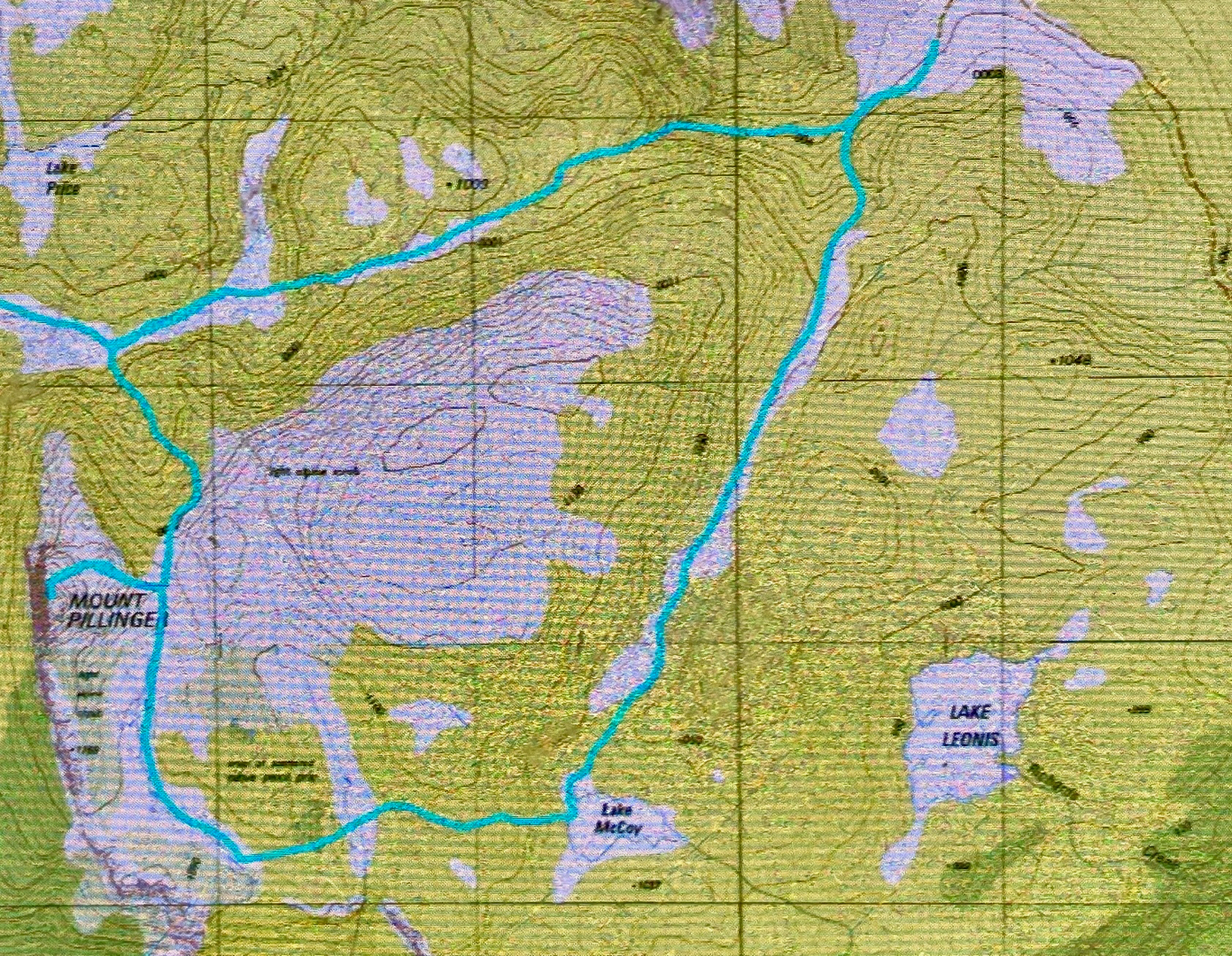
This circuit can be done with equal enjoyment, I would think, either clockwise or anti-; we chose anti-.
We parked our cars at the end of the Magges Spur 17 road, and set out down the pretty clear track. After only seven minutes, the track (which ultimately leads to Mt Pillinger or to the Arm River main track, or to any number of other enticing locations) crosses the first of many unnamed Arm R tributaries. As they are nameless, I have just called the first one A, and the second B. The third creek, which we didn’t cross on this route, bears the actual name Arm R; the fourth and fifth are even further west again, and are also unnamed. Tributary A has a pretty little waterfall, shown above.
The second creek we crossed, I have with enormous imagination called Arm R Tributary B, also contains a waterfall worth photographing (see below). We were not getting anywhere fast, but that was never the purpose of the day.

Arm R Tributary B Falls

Once we had enjoyed the rainforest, fungi and waterfalls, we climbed slightly (often beside Trib B) out onto the plain that eventually passes under Mt Pillinger. This area has fabulous Pencil Pine groves.

Arm R tributary scenery

One follows Trib B westwards until there is a saddle so broad and flat that you need a map to tell you it is actually a saddle. Out the other side of the slight swamp and down imperceptibly, you briefly meet the actual Arm R before turning south and beginning the climb up the main Pillinger gully to a saddle before the summit. I have always fancied sleeping in this saddle, or even higher, as there are many flat, clear spots, but water would need to be carried from the tarns of the Arm R at the base if that is what you want to do.

Pencil Pine base
Pillinger summit

The view from the summit is pretty good, but I never actually enjoy summits in midday glare. The highlight up there for me was the appearance of three huge wedgies who kept circling us at close quarters. I take credit for this, as I’m sure it was the mauve parasol I was using to protect me from the sun that attracted their attention. Their eyes seemed quite focused on it, or so it seemed.

Pillinger summit

At last we were moving again, and this time, after the Pillinger saddle, in a different direction, south, to and then along a valley with calf-high alpine grass and colourful scoparia (nicely spaced, thanks), cushion plants, and a dainty creek with deep, clear water down the centre.

Along our second valley
Cushion plant in the valley

Our desired lake was to the east of where we were, so we had a couple of unpronounced spurs and appealing valleys to cross before we reached it.

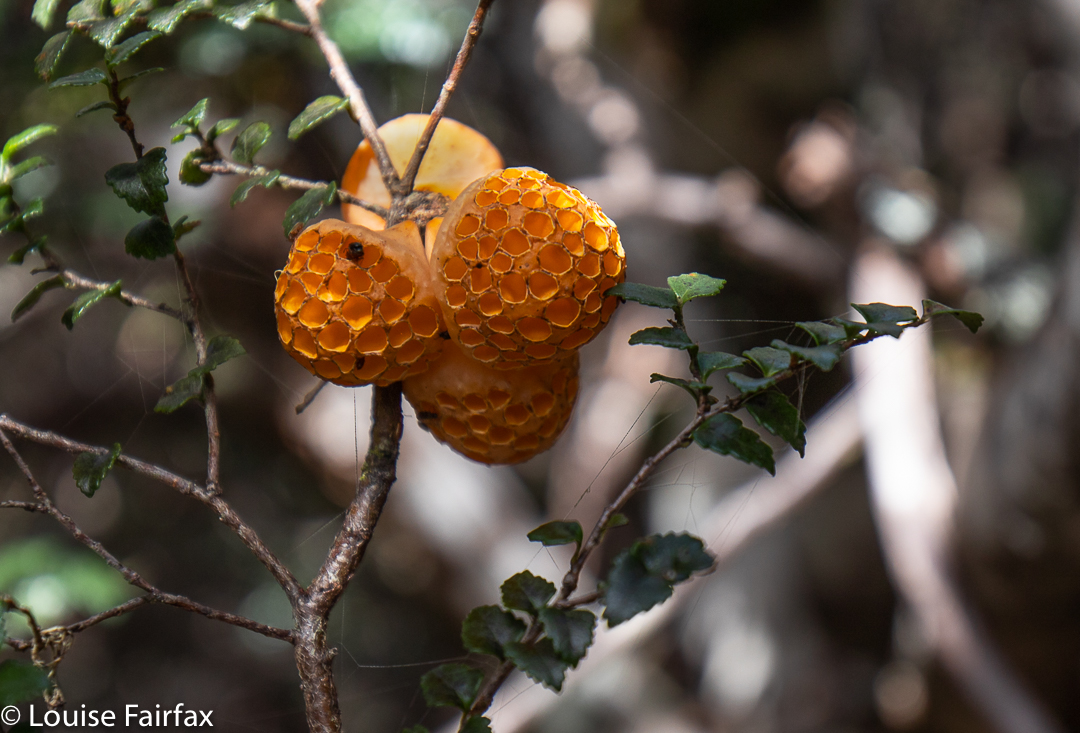
Cyttaria gunii in Pencil Pine forest near Lake McCoy
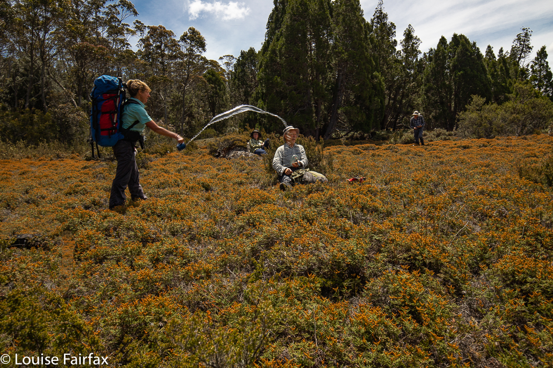
The day started at 4 degrees. It seems some of us thought it had warmed up enough in the early afternoon for a water fight.

At last we reached our lake; time for another afternoon tea.

Lake McCoy

The stats are that we walked about 14 “horizontal” kilometres, climbed 382 metres, yielding 17.8 kilometre equivalents.

Lake McCoy

Lake McCoy route.