England: Lake District 2006.
In 2006 we were doing research at Oxford Uni. Naturally, amongst the many walking trips we undertook whilst there, we went to the Lake District. Here are some snippets from that time …
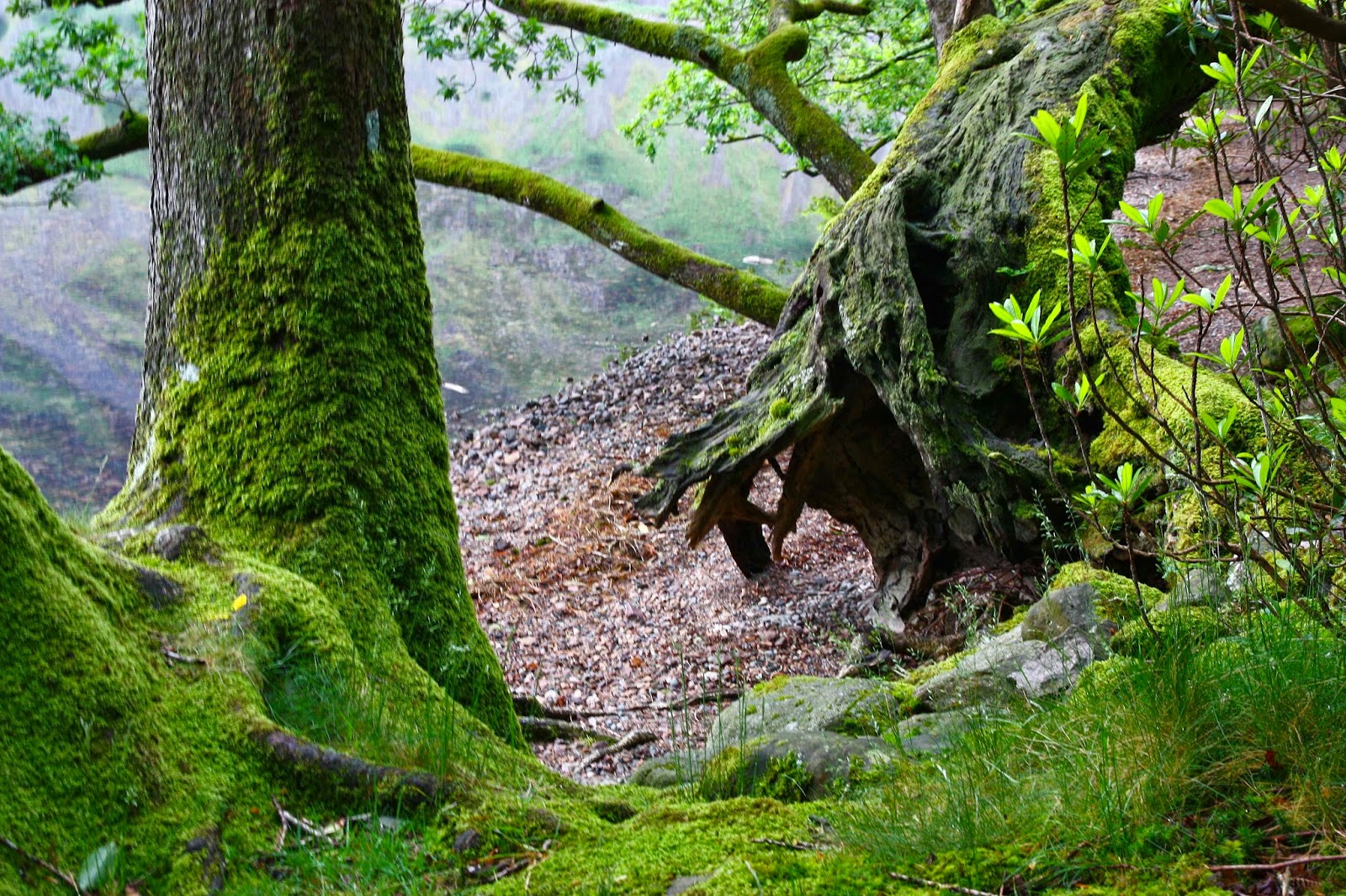
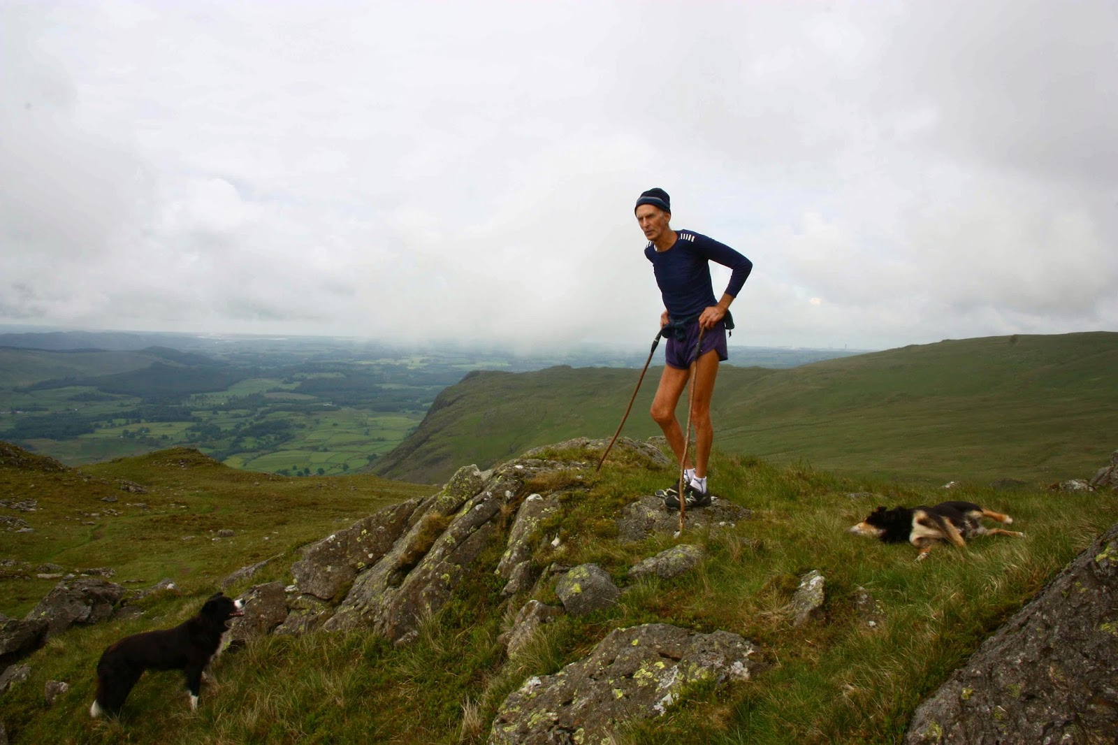
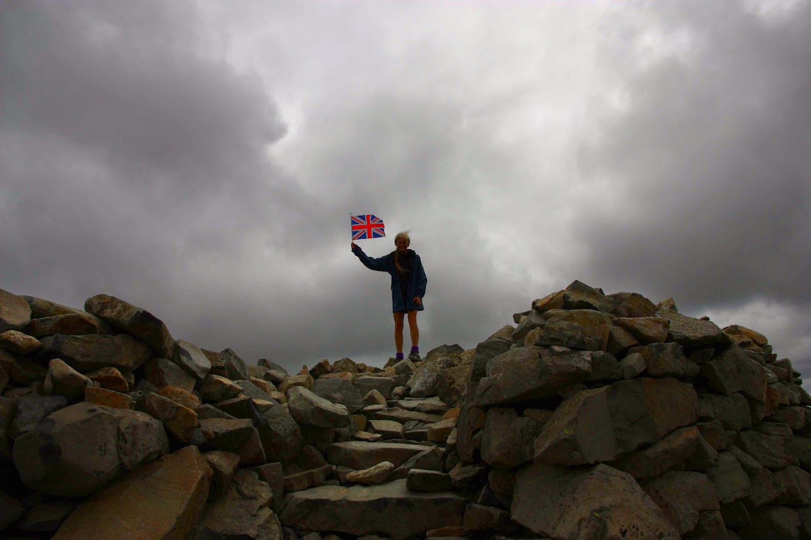
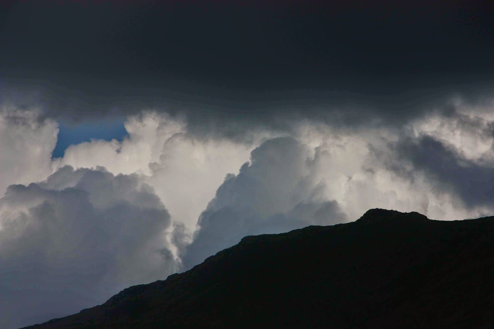
(The photos are a collection from all the peaks we climbed, not just the ones from this story. Sorry I didn’t own a better camera back then).
Story 1: Sca Fell
“You’ve chosen a nice sunny spot,” said a lady as she glided past while we ate our lunch standing in a broad saddle on the intersection of four paths, using a rocky slab as a table and a cairn as a shield.
“Yes,” I called in reply, “but I’m worried about getting sunburnt.”
“Just slop on some more cream,” she yelled as she marched on her way.
The mist swirled around as the wind howled and rain fretted. We ate standing, as it was too wet and cold to sit. I devoured more lettuce wrapped around blobs of apricot and cranberry chutney, with two-day-old bread for ballast.
Nearing the summit of Sca Fell
“Delicious,” I enthused, not to be ironic, nor to be some Polyanna figure: it just seemed the perfect lunch for such a place – sweet for energy, crunch and juice from the lettuce, no fat to make us feel heavy and lethargic – and it tasted excellent, thanks to the high quality chutney. I consumed the last of my jelly babies (Jonathon Swift would have been proud of my measures to reduce English overpopulation and mendicancy) in the rather hasty “meal” and we were off. It was not a day to hang around.
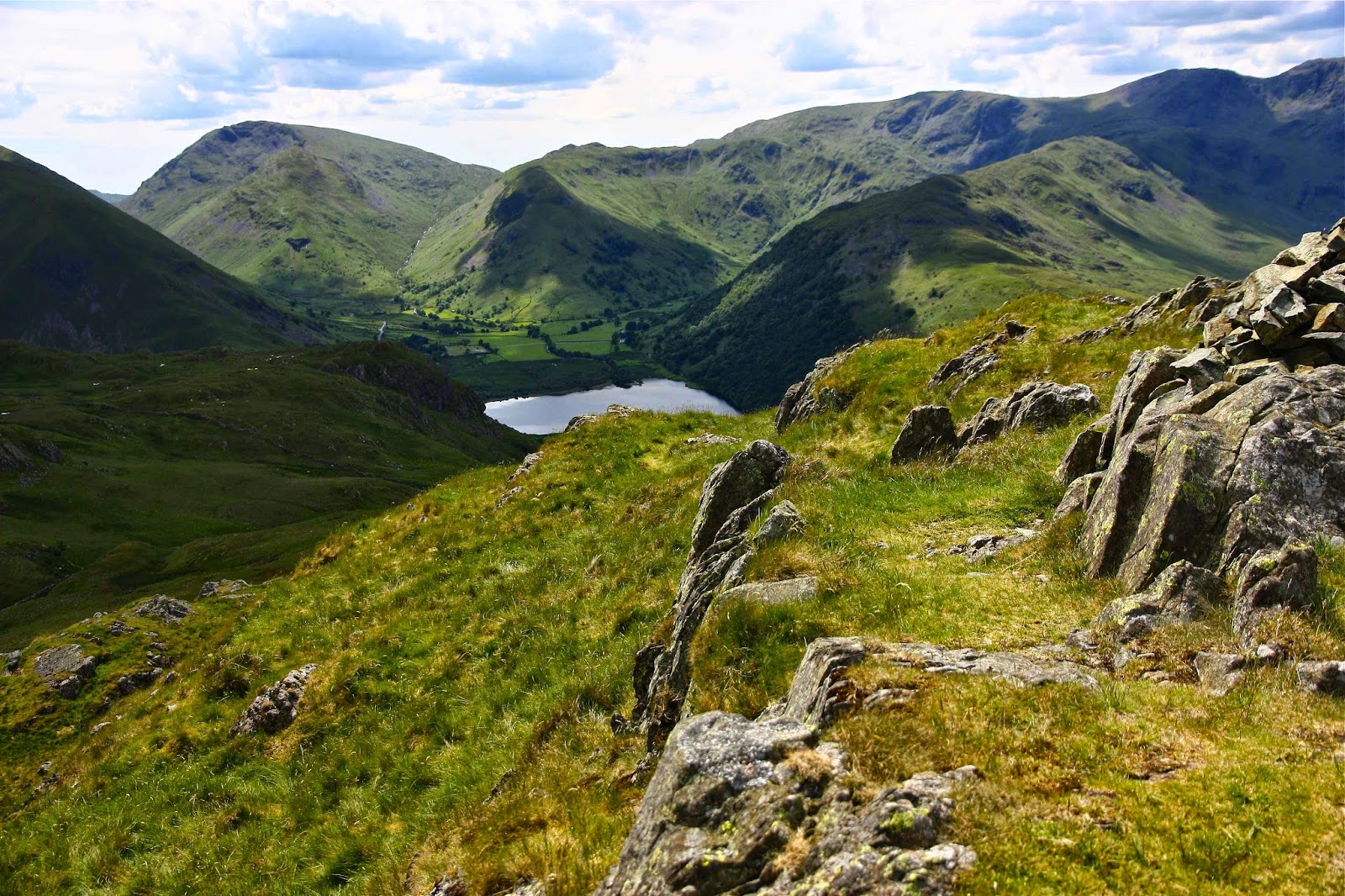
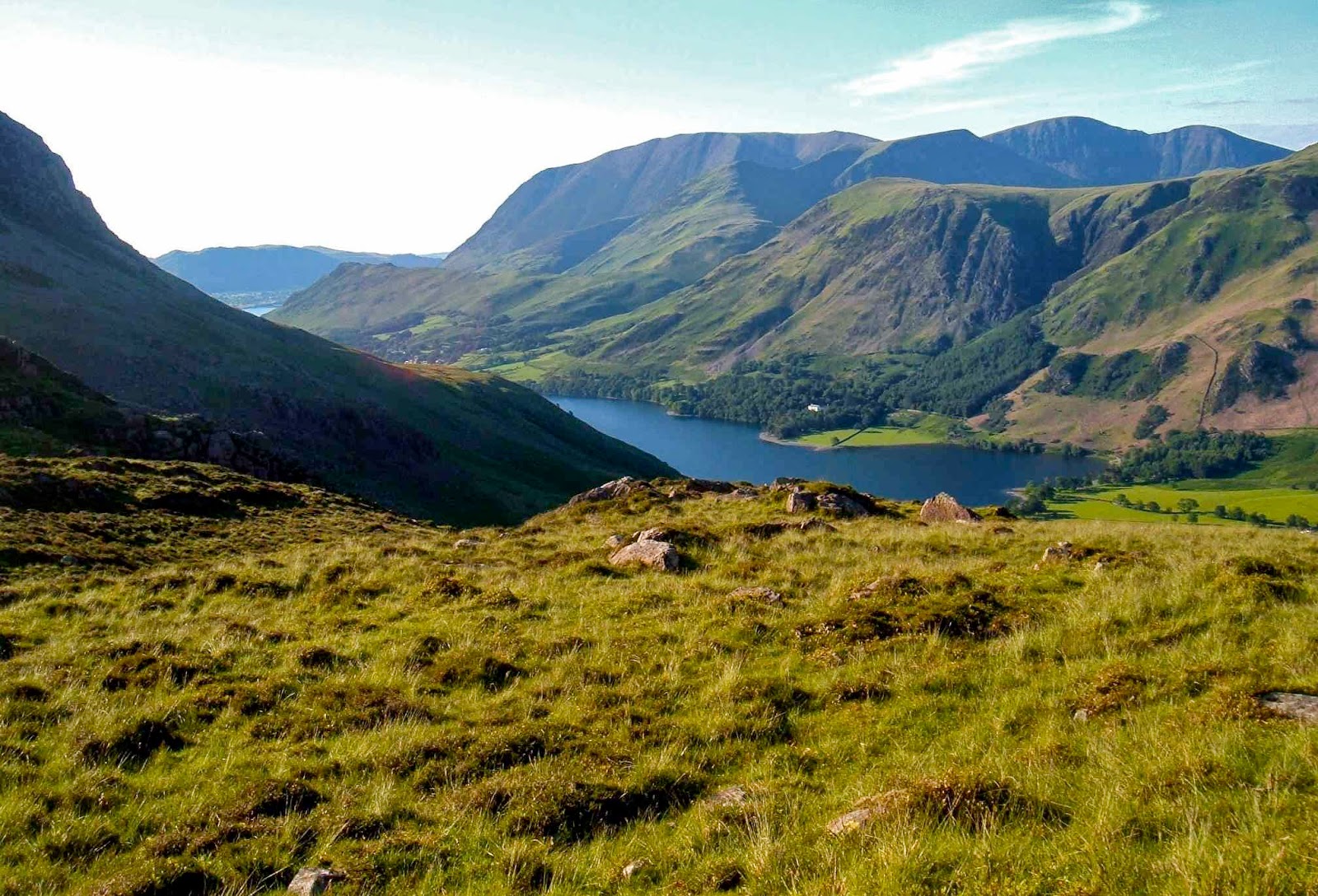
Wasdale.
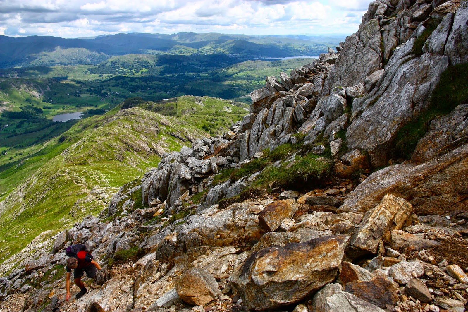
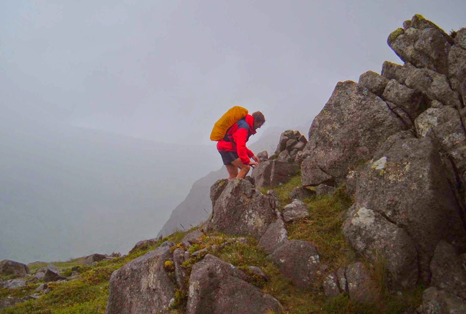
Climbing the Pillar
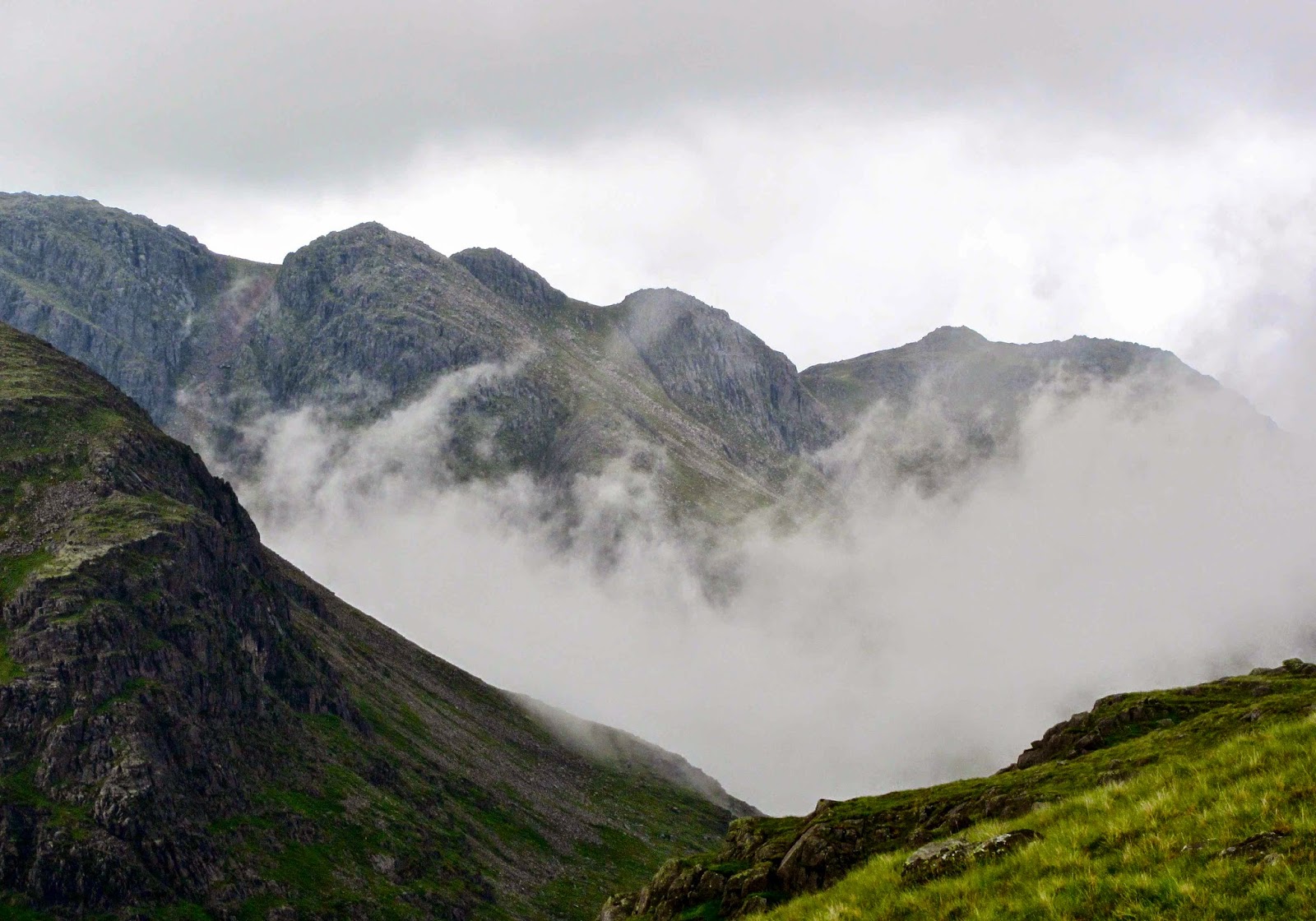
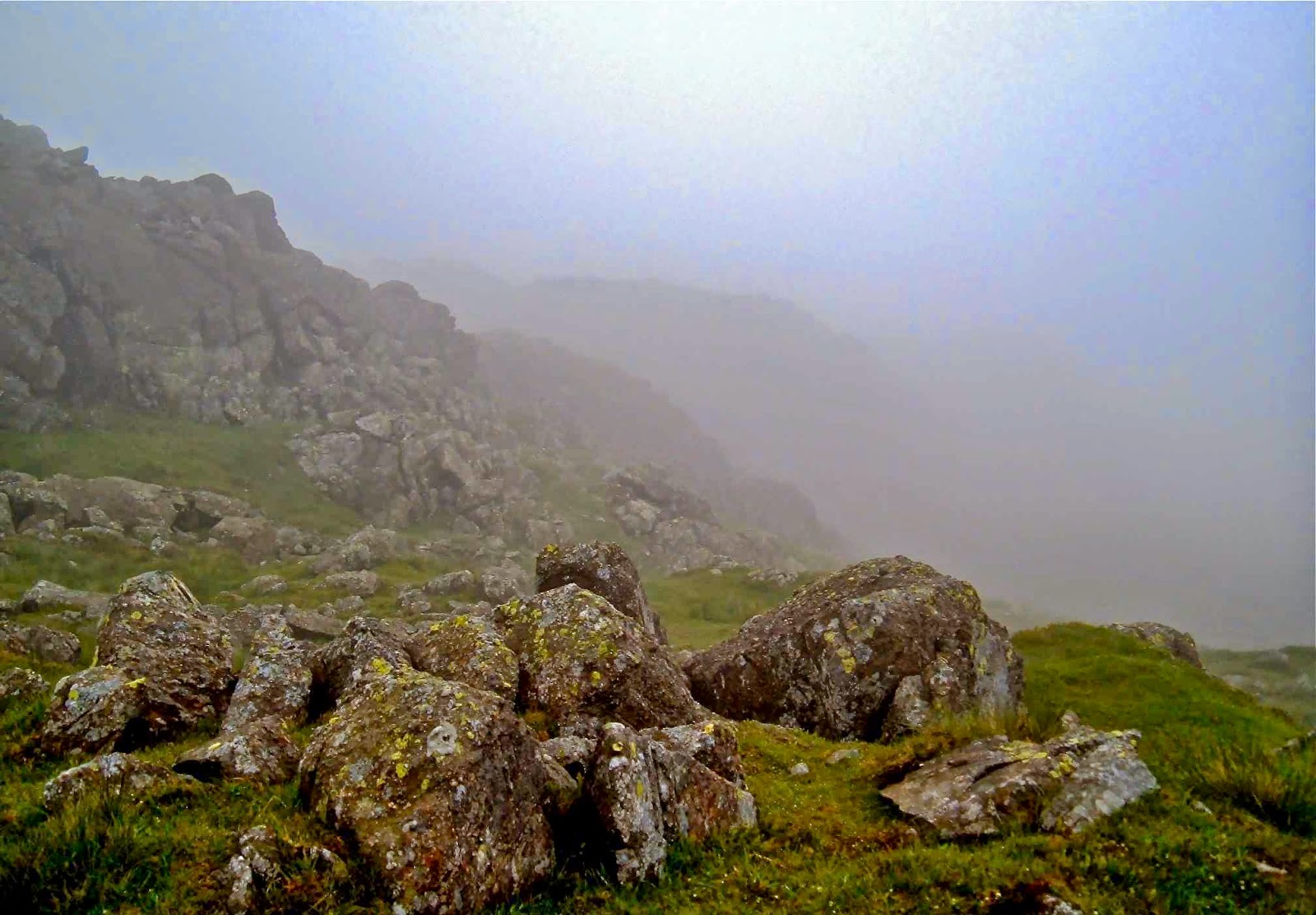
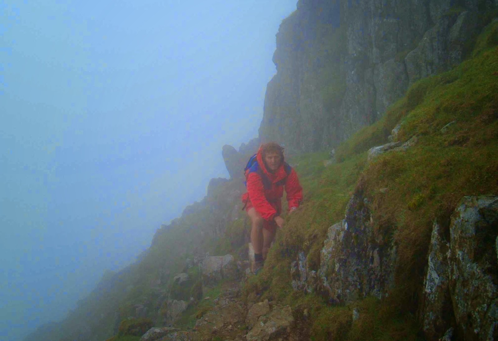
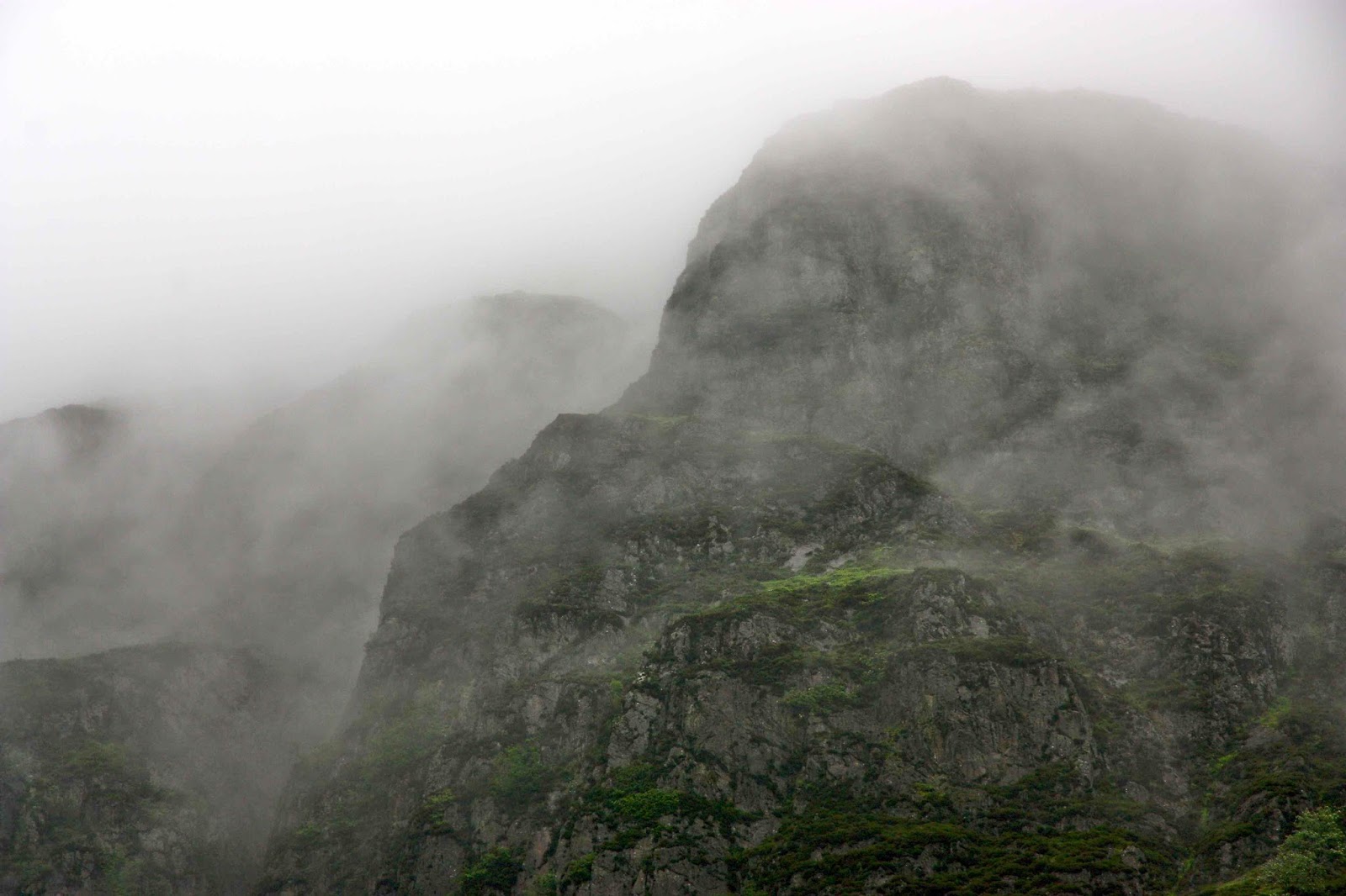
We set out into the mist. We could see the path in front for about a metre – enough to stay on the track, mostly; certainly not enough to be sure of anything much. Luckily this was our second summitting of Sca Fell, so I knew roughly which shapes might emerge out of the mist and which way the land might be expected to slope. But we were climbing England’s second highest mountain, so the general idea was “up”, except that often to go up, one needs to go around or down, and climbing steep slippery rocks that go up but into a cliff face is not a great help.
Pillar summit
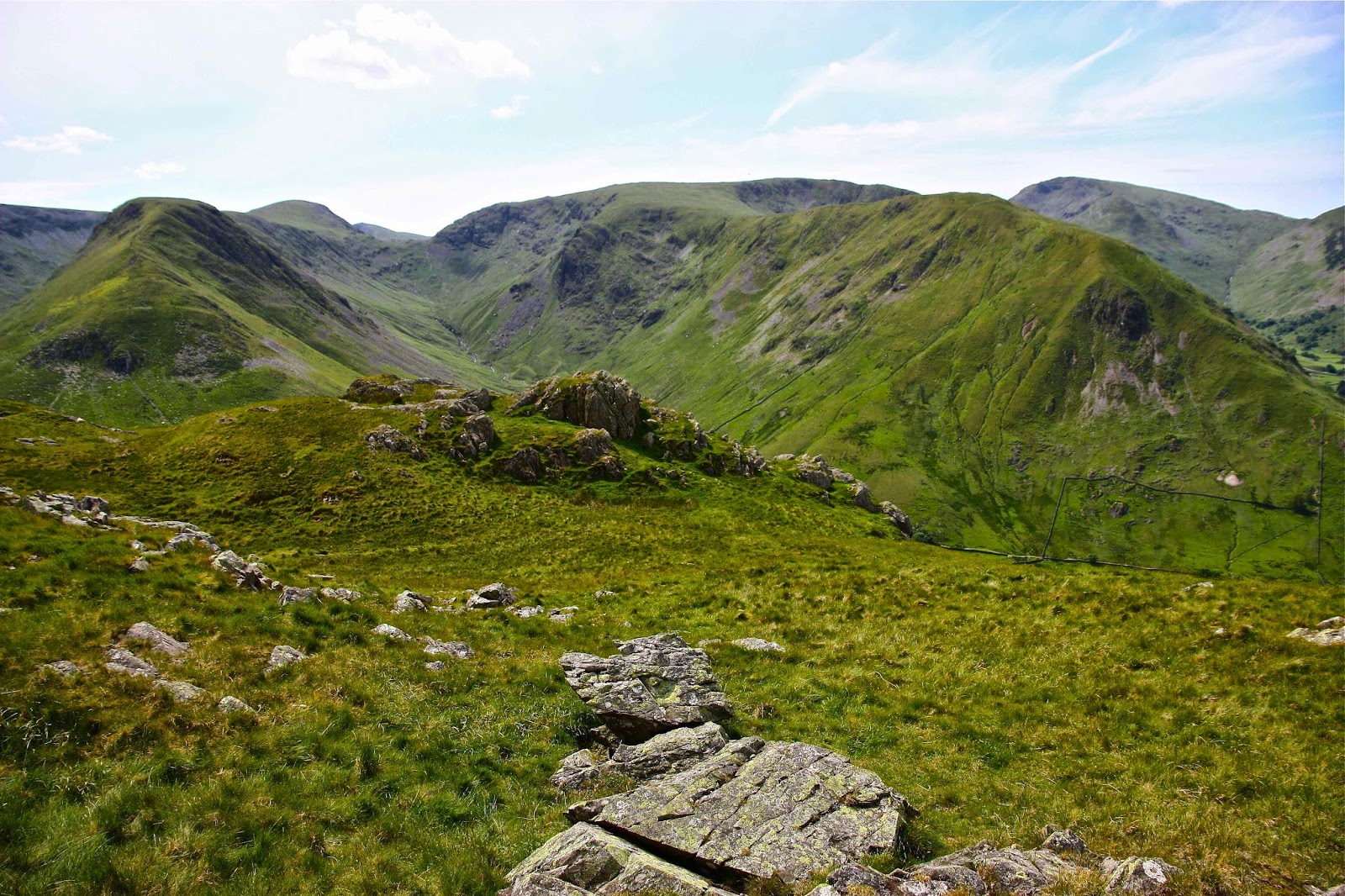
Scoat Fell
I seemed to manage to keep us on course, and in moments of doubt, ghostly figures of other climbers on the same route would appear out of the fog on their descent, or we would overtake their shadowy forms as they stumbled over the slippery rocks or laboured up the slope, and we would know we were on track. There was a wonderful camaraderie amongst those on the mountain. I’m sure that only in England can you climb a remote mountain in the foulest possible weather and find a queue on the steepest slopes.
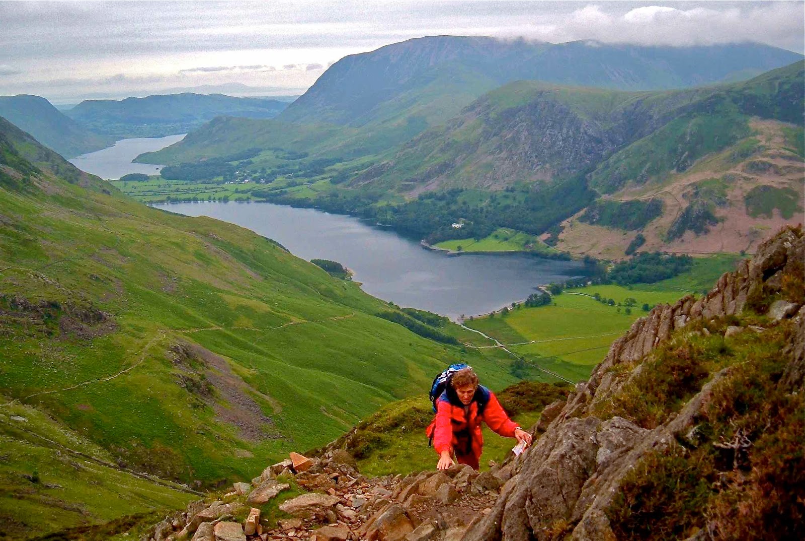
Story 2. Next day ….. Pillar and more
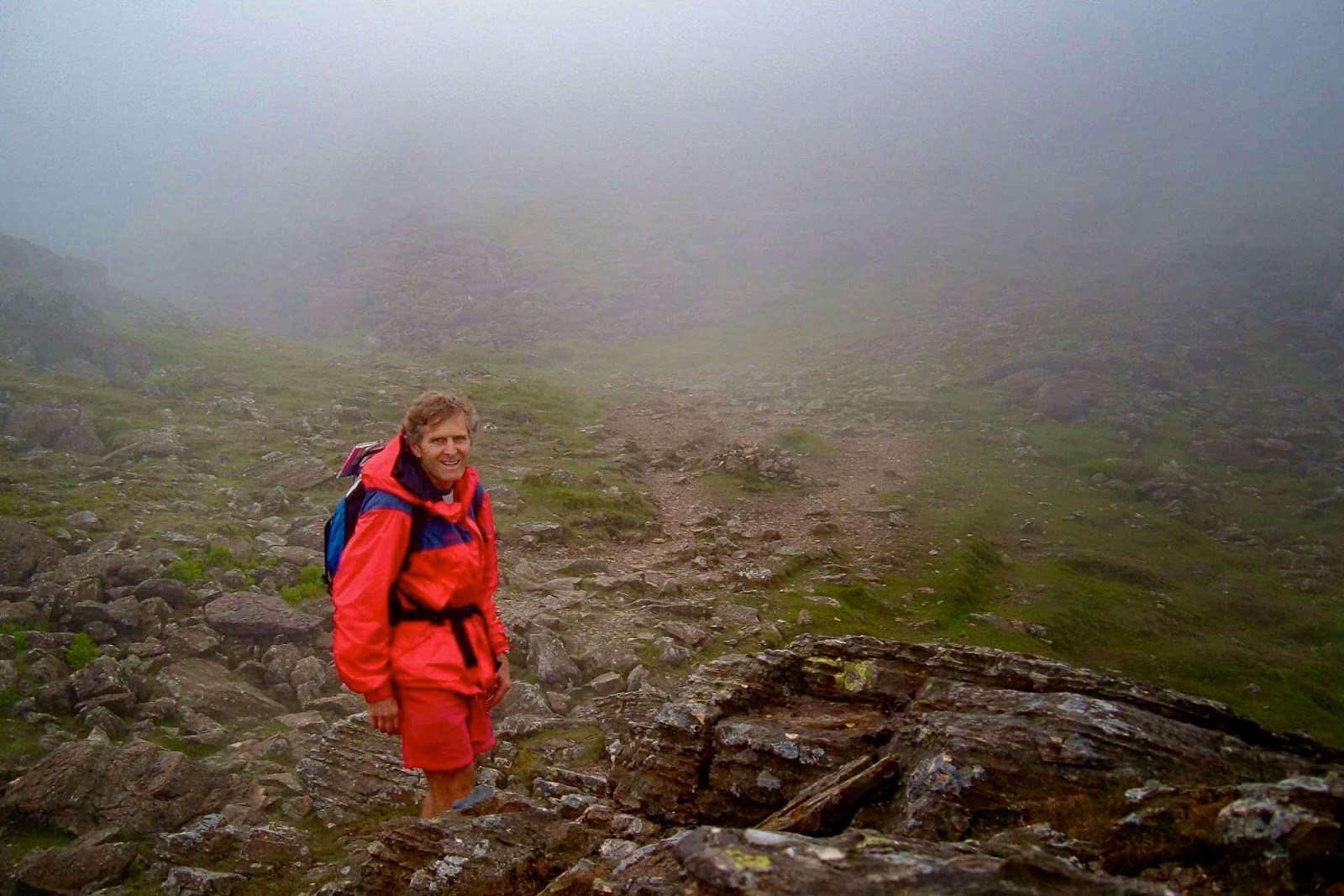
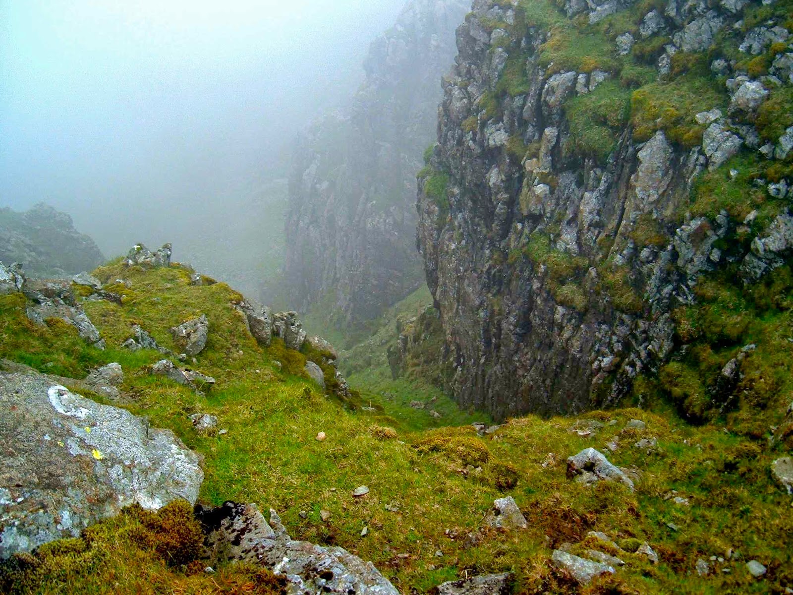
“I think we’d better sit here and take stock,” I said, as we found the first ledge of rock big enough to accommodate us in over half an hour of scaling slippery waterfalls in the mist. We were supposed to have undertaken a difficult but achievable scramble up the Pillar, keeping to the left of Pillar Rock, which dominates the landscape, or so the guide on climbing in this area says. There was no Pillar Rock in the mist – indeed, no Pillar. “The only problems will be encountered if one tries to climb to the right of the rock,” I had read the night before. Fine instructions if you can find this imposing massif. We didn’t, and so climbed to the right of the rock. As we sat there, I announced it might be a very long sit, as I was way too scared to attempt a descent without a rope, and I couldn’t find a way up. We had about three squares of chocolate left, and our uneaten lunch. Not much to last about 20 hours until a search party tried to rescue us.
Scarth Gap
“Just make yourself comfy.”
“Why can’t we go down?” Bruce asked, surprised by my announcement.
“No way,” was all I bothered saying. Both directly up and down were impossible, and to the left was a steep, impassable rock face. The route to the right was similarly blocked. Our only hope was diagonally right, but I needed chocolate before I tried our only chance of escape. Nice, Lindt, orange-almond chocolate. Then one can climb further.
Chocolate to cheer, we set out again; with enough handholds to make some slight progress. Suddenly through the mist I saw a shape that had softer edges than the rest of the rocks – the shape of a sheep up to my right, not far away. I knew that if I could reach her, then we would have reached safety. Anywhere a sheep can go, I can go. She must have come around an easy back route that adjoins where she now was. Hooray.
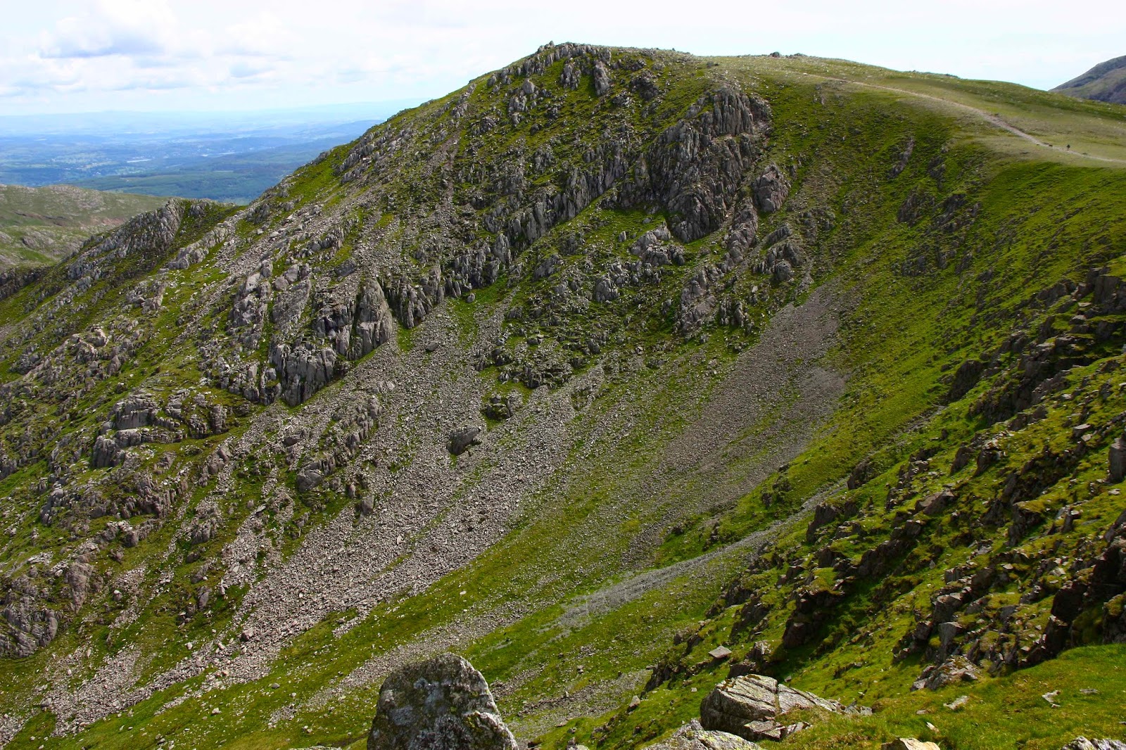
We reached her and celebrated beside what we thought was the summit cairn, consuming our lunch now that we didn’t need it for dinner and breakfast and snacks during the night waiting for the rescue team. The mist was so thick we couldn’t see any other cairns, so after the refill, I set out in search of a way down – also precarious, as visibility was only about two metres. My search revealed that we had eaten about three metres away from the real summit cairn – invisible from our picnic spot. By making sure I stayed within earshot of Bruce, I circled until I found the next cairn in a progression, so we eventually found a route – we didn’t care which one. Any safe route down was welcome. The one I happened on also turned out to be the one I wanted, one that enabled us to also climb Great Scoat, Little Scoat, the Steeple and Haycock before descending, yielding yet more photos of blobs in the mist to add to my already considerable collection. The others at our YHA accommodation in the valley that night giggled with delight at the photos, so it seems they were a success.

 Whinn Rigg