Having once climbed Mt Blackboy by the easy route, I was not all that interested in a repeat, but today we took it head on and did a traverse along the high rocks, and that made it a totally different and really fun experience.
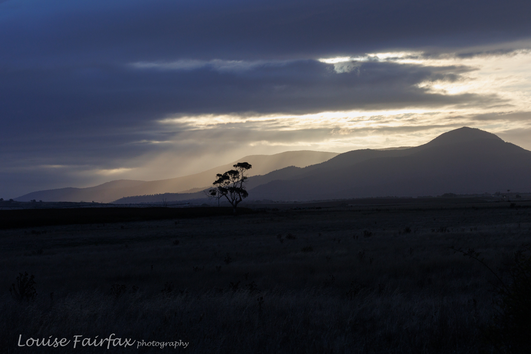
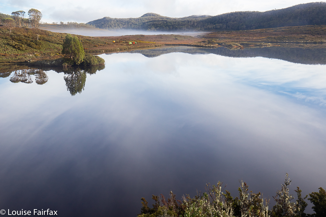
Fingal Valley
Not only did we attack the boulders from their most challenging angle, we also began way, way down at Mathinna Falls, giving us a climb of over 500 ms in the process, and not from the nearest road access as is normally done if you only have bagging in mind.
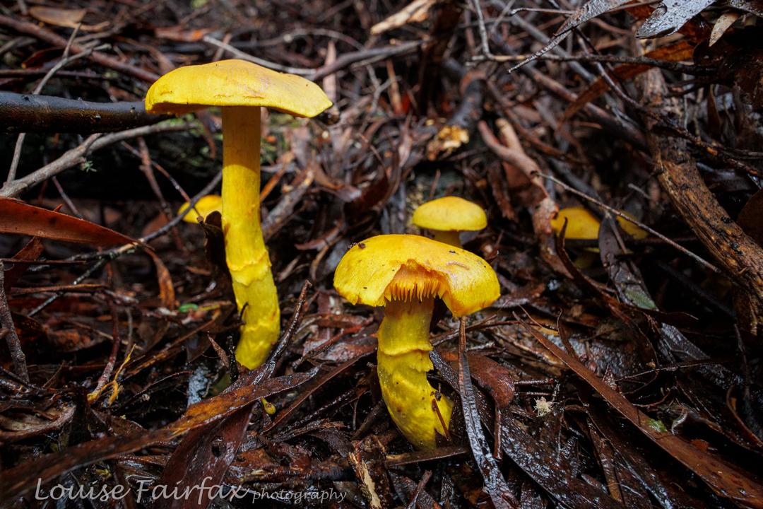
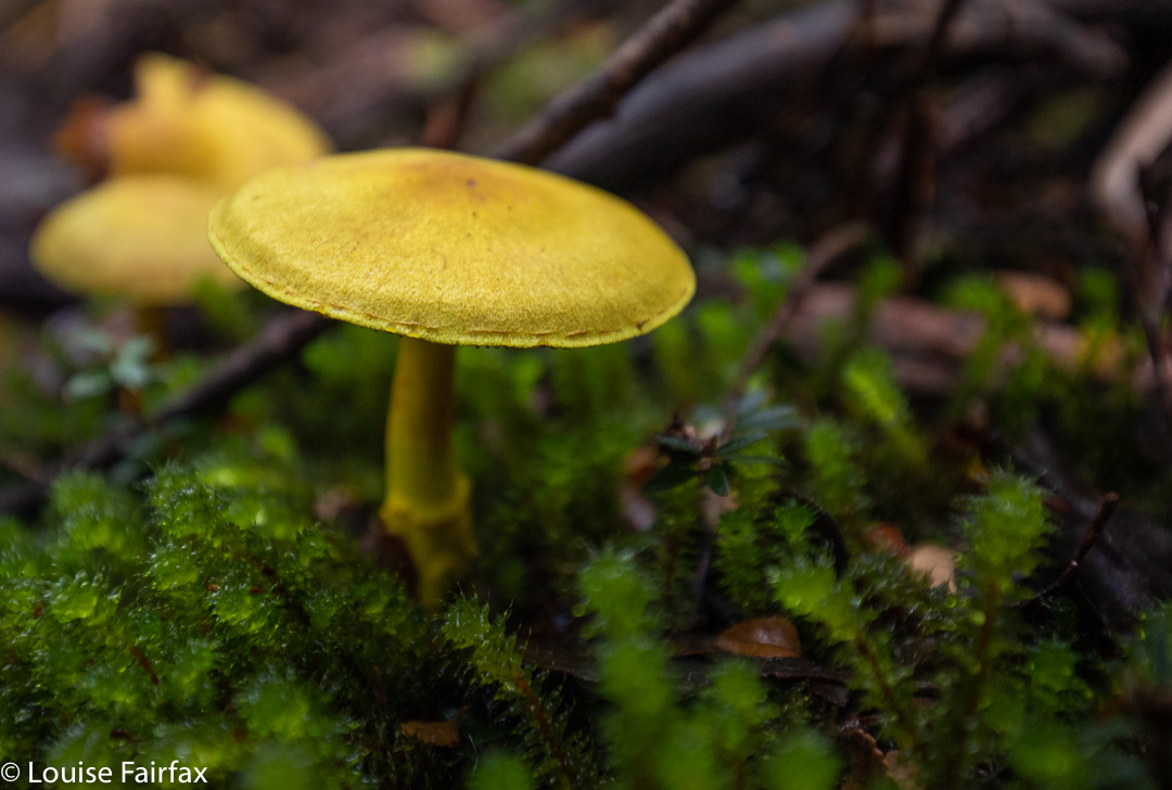
Hypholoma australe – these were near the carpark, before the real fun began.
The actual climby bit was probably only about 2kms horizontally. Do your maths: that’s STEEP. People from our small group were falling and slipping the whole time. It only counted as a fall if you landed on your bum or worse. I was relatively unscathed with only three falls. Several of my friends got into double figures. One specialised in quite spectacular landings.
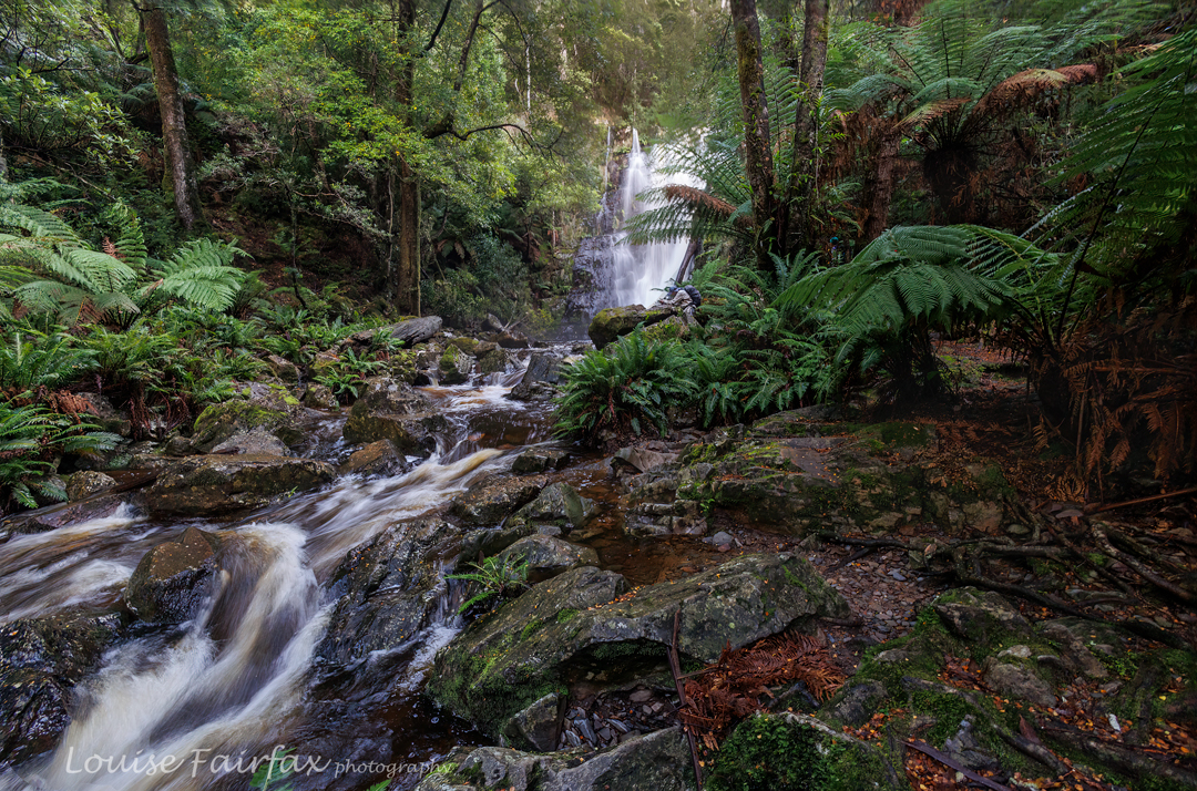
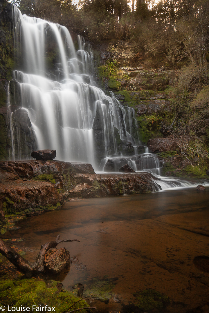
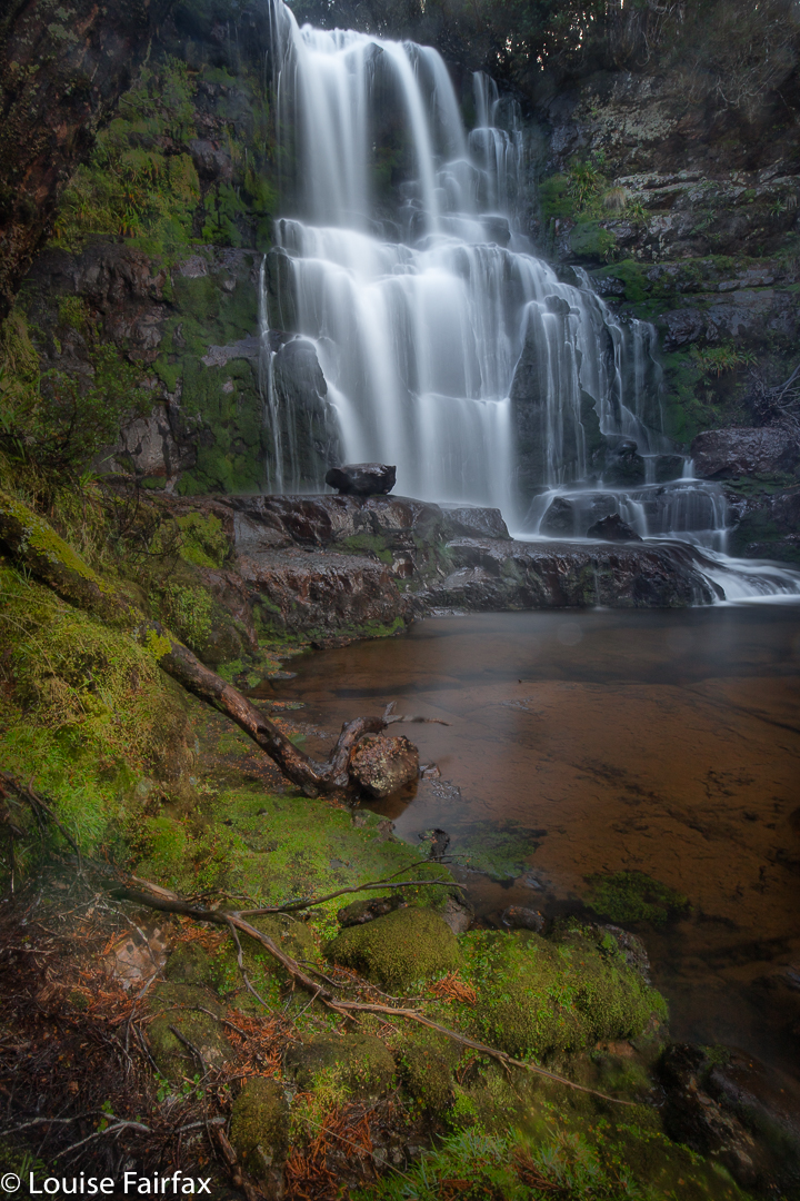
Delvin Ck track to falls
Even just standing talking waiting for the rear to catch up, you kind of slid down the slope unless you grabbed a sapling to prevent the descent. I was sure I spotted a flat bit of ground somewhere down below (and John backed me up); this became a source of many jokes as we tumbled our way downwards.
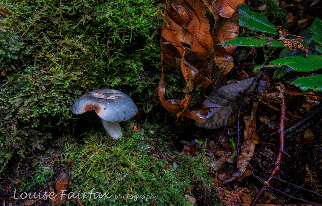
Russula viridis – very pleased to find this one! You don’t see them often.
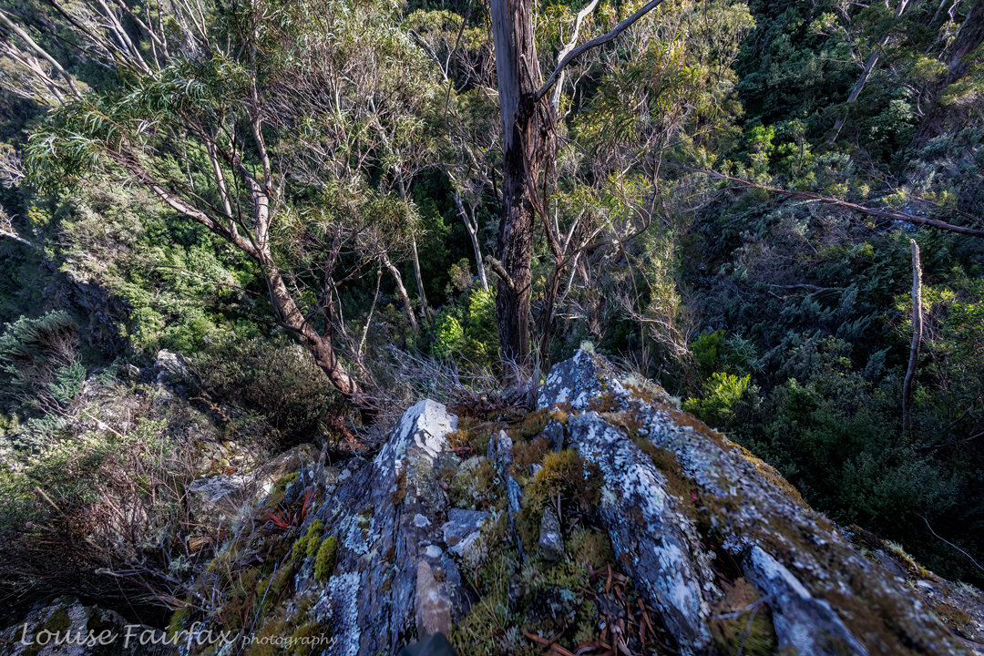
Sorry for the lack of photos of rocks and forest: when you are above your head in ferns, it’s hard to get a shot, and the rocks were reached in midday glare, which I don’t find conducive to pleasing photography. I leave the massive and alluring boulders to your imagination. Meanwhile, if you know me, you know I love fungi.
Dermocybe canaria. I have also not seen very many of these in my hunting.
I was quite proud of how clean my pants still were at the finish – ripped and muddy pants were the norm by the end of the day – until I got home and discovered a huge red patch base right, courtesy of a hitchhiking leech.
Blackboy Falls from above. We could see them, even if you can’t. This was as good as it got today. Work in progress!
We also visited the top of a waterfall en route, which, given its location and in order to be able to talk about it, I have dubbed Blackboy Falls. (It is an unnamed blue line on the map). We lacked time to visit the base, but at least we have now seen it, and have also (of course?) plotted our route for a more extensive, close-and-personal visit some other time. As it was, we didn’t get back to the cars before 5 pm, and it was more than dinner hour by the time we returned to Launceston. It’s worth being hungry to have had such a fun day. Very little beats real bushbashing, with its engagement with nature, and its total workout value. Keep Tassie Wild.
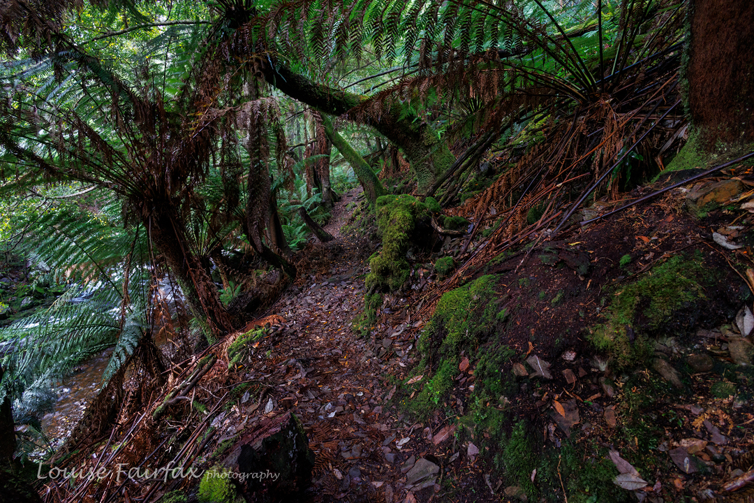
Traversing the ferns back near the bottom. Thanks for the photo Phil Andrew, who, being taller than I am, had a little less trouble taking a shot in the jumble.
My friend Craig called to discuss my route to Orites Falls in 2016, and mentioned in the process that I was welcome to join the small group that was about to go. Would I like to join them? Do children like chocolate? How wonderful to have an excuse to revisit an area that I loved the first time around. The territory at the back of Mt Hugel is wild and somewhat unfriendly to those who would like to pop in for a chat, but it is wonderful once you’ve got past the bristly facade.
Orites Falls trip
It is so lovely to be walking with a handful of likeminded people: fellow bushwalkers and nature lovers, bonded more by that than a passion for waterfalls, but all willing to embrace the beauty of Orites Falls nonetheless. I loved these falls so much that the first time I was there, I couldn’t wait to come back with my tripod and a few filters to slow the water down.
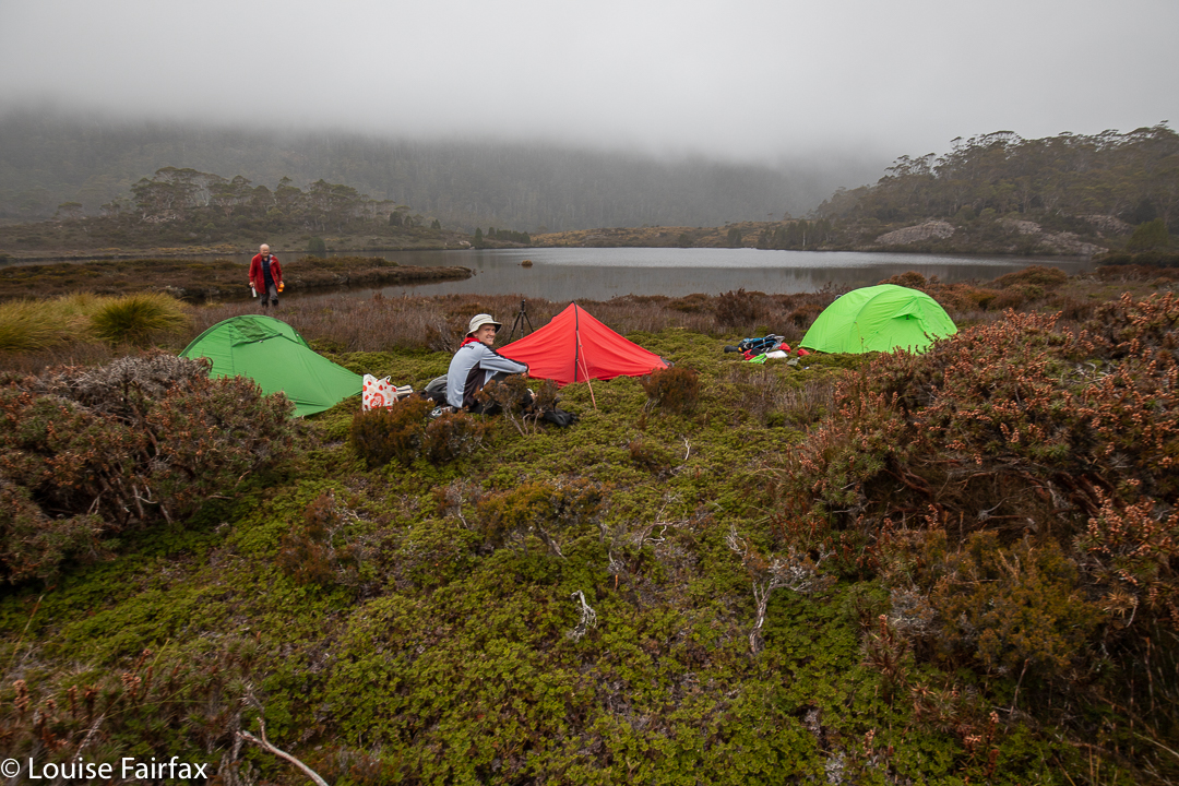
Orites Falls trip. Tentsite.
Of course, the section to Shadow Lake from Lake St Clair Lodge was easy and spent in pleasant chatting through wonderful lush rainforest with heaps of fungi beginning to colour the landscape. Fagus also added colour (nothofagus gunii). We had a snack at a small beach by a giant pencil pine and continued on our way, along past Forgotten Lake and to the rock slide providing the approach up to Little Hugel. Once you’ve gained the ridge, you’re on your own, with occasional pads to help you, but not often, and only while your route intersects with that taken by people climbing “big” Mt Hugel. There are some little tarns under the Hugel ridge (at about 1245 ms asl), and the shelter from the quite strong wind afforded by a little copse of Pencil Pines provided the ideal spot for our lunch. The ground was soggy, so I squatted instead of sat to keep drier.
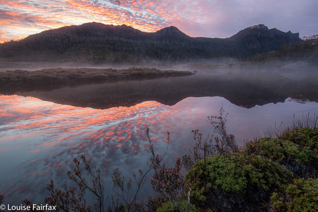
Orites Falls trip. Lake Hermione dawn
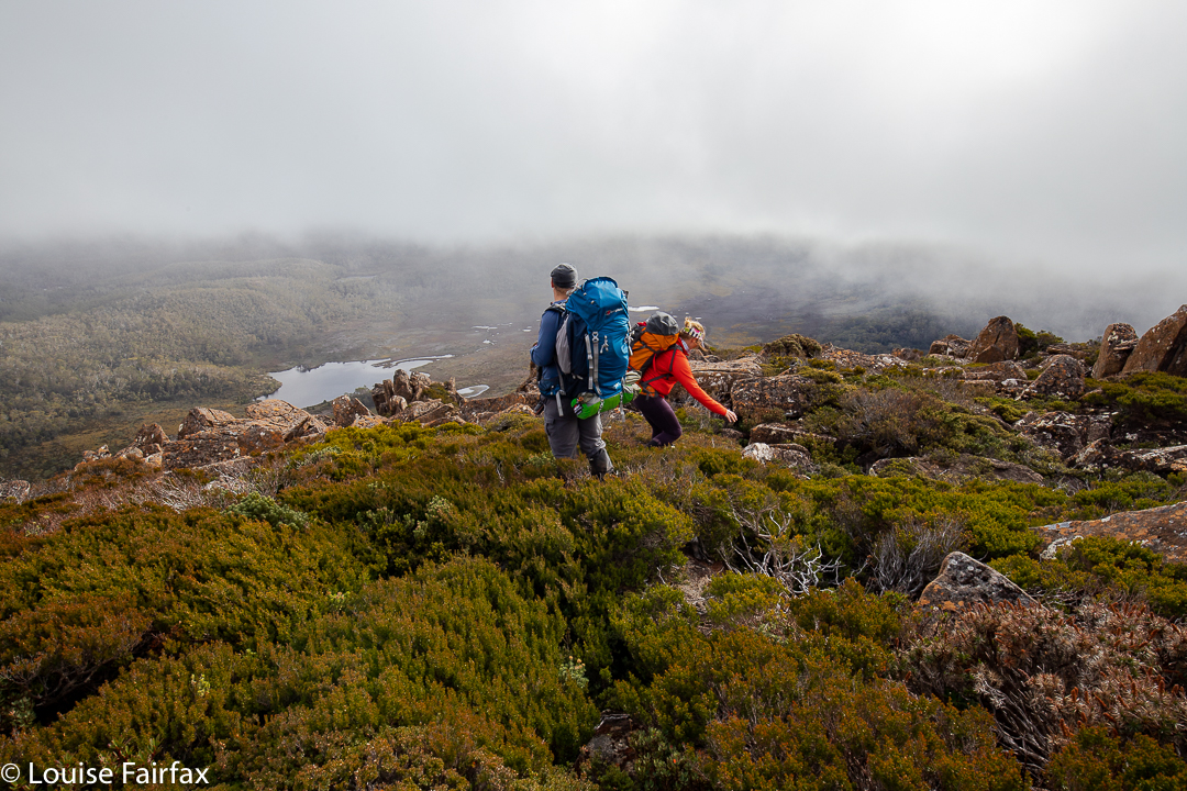
After lunch, we climbed up to 1330 ms to a knob that is unnamed on the map, but which was christened on day 3 “Craigs Curse”. On day 1, however, it was no curse, and offered us lovely cloudy views to Lake Hermione, our destination for the night, about 385 ms below. That is 385 vertical metres. The horizontal measurement is not all that great either, but it took us two and a half hours’ walking to negotiate the protective palisade of bush between us and the water. Eagles have it easy.
The others agreed to my vote for the ridge running NW from the knob, as I had used it before and found it better than a more direct route, especially on the way up, but the others thought it would be good to use it on the way down as well. The clouds rolled in and down we dropped, hopping across boulders with scoparia traps underneath, and down into general scrub and some exceptionally steep rocky bits. But it was a devil I knew, and I knew it would work, so on we pushed. What a glorious moment it was when we burst into the band of rainforest with its relatively easy passage and rich greens, and swung more in the direction of our goal.
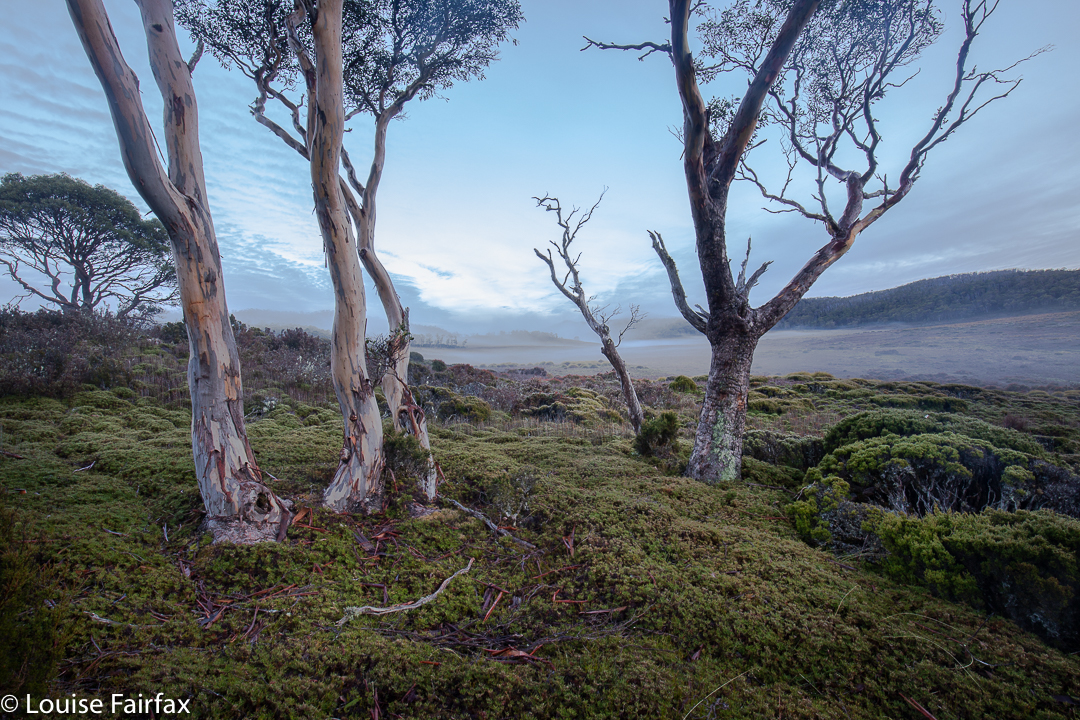
Orites Falls trip. Eucalyptus pauciflora.
The final button grass drag was tiresome, as it felt like time to arrive, but arrive we eventually did, and chose our glorious real estate for the night. Dinner at the marvellous al fresco restaurant was a wide choice of dehydrated-now-rehydrated fare with different names on our packets, but not a huge difference au fond. We compared notes on flavours, as one always does bushwalking. By the time we erected our tents, photographed the beautiful lake, collected water and had a general explore, it was getting dark and cold, as is the norm for this time of year.
Day 2.
Orites Falls trip. Underway day 2.
This was the day for the goal of most in the group – those who had a finite, concrete goal rather than the more abstract one of enjoying being in a beautiful wilderness area. We did have a focus, and that was Orites Falls. As I had been there before, I was given the helm again, and led us up to the rainforest band on the other side of the river to follow it along until it was time to drop to the falls. Even though we were camped not far from the general source of the Franklin River (a tiny bit to the NW of our spot), it was still quite tricky to cross, but I knew it was possible near the lake, so we went to where it issues from the wider area in a magic bunch of pencil pines – how old? a thousand years? Who knows?
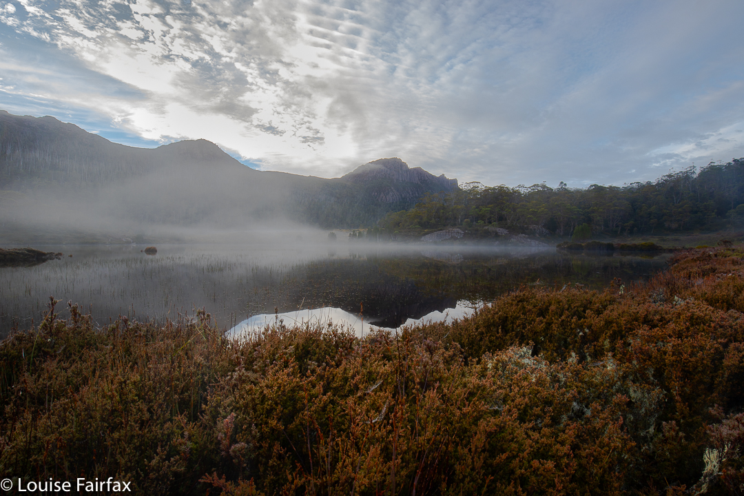
Orites Falls trip. Lake Hermione
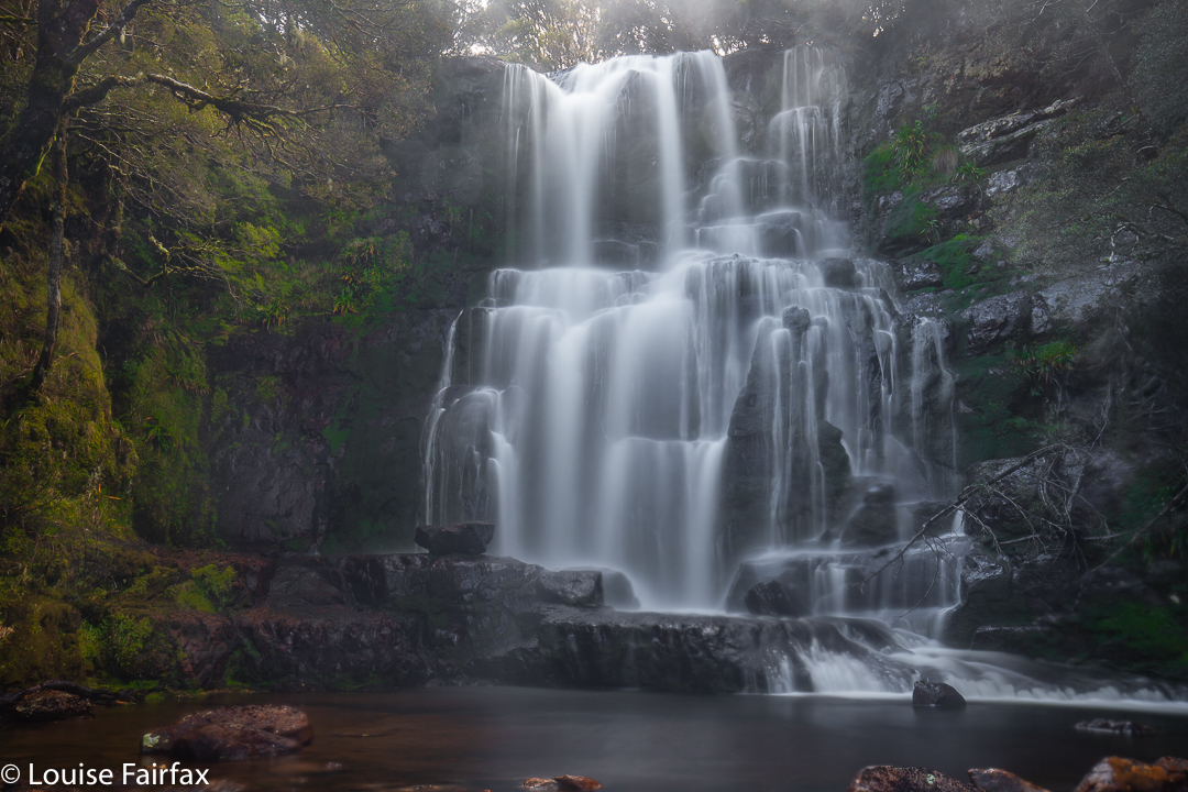
The photos say all that needs to be said about the falls. We loved being there, and stayed a nice long time, only returning in time for lunch. It was about an hour and a half each way and the rest was taken up in photography.
Orites Falls
In the afternoon, we each did our own thing, with the three waterfall-fanatics visiting what I decided to christen the Franklin Tarn Falls (they not having a name on the map, and needing one so we can refer to them). I had also already been to these ones, but they were dry last time. This time, I left my camera accidentally in the tent. HOW does a lover of photography do THAT???
Orites Falls
Craig and Caedence have both promised me a photo to commemorate our visit. On the approach, I took the route I had used last time. While there, I spotted a lead in the forest on the other side of the stream and the others agreed to test it out. This northerly route was a heap more pleasant, even if a bit longer, and three minutes faster: 23 minutes there from our tents; 20 minutes back. Meanwhile, Adrian explored the Franklin source area to the north, and Leandra intended some quiet reading in the tent, but she did mention some quiet involuntary snoozing instead.
Day 3.
Dermocybe canaria
I always think it’s good when you have bad nightmares about something, as the reality can never be as bad, and then you have a pleasant surprise. My worst-case scenario for this day was not a pleasant dream. All night, the wind howled like a demented monster, and the rain lashed at the tent. Some of us didn’t have the right clothes for such weather. Should I really lead them up to the exposed rocks on top? Craig was all for going further around, and I thought the protection that route offered could come in handy. We’d set out and decide later. Meanwhile, I’d done the lion’s share of leading on the past two days and was mentally tired, and was also physically weary as my monstrously heavy camera was now in my pack to protect it from rain, instead of around my neck where the weight wasn’t all placed on my poor shoulders. I needed pain killers to cope. Luckily, Adrian took over the job of leading through the scrub, steered by Craig who had plotted our route from day 1. It was nice and relaxing not to have to make decisions for a while.
Orites Falls trip. Leandra looks happy
At one particularly difficult spot on the way up, which challenged one of our group with the exposure involved, I thought we weren’t going to make it, but my worst fears were faced, defanged, and then not realised anyway. At lunch by the same tarn we’d dined at on our way up, I was, apparently, grinning like the proverbial cheshire cat. Now we were in the land of easy walking, and there was no way we wouldn’t make it out. We were a happy group. I even allowed myself time for a little fungi photography on the final leg of the journey.