Queensland 2017 Fitzroy Island: a perfect family bushwalk.
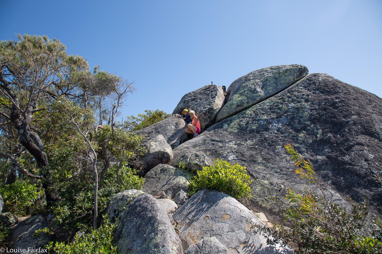
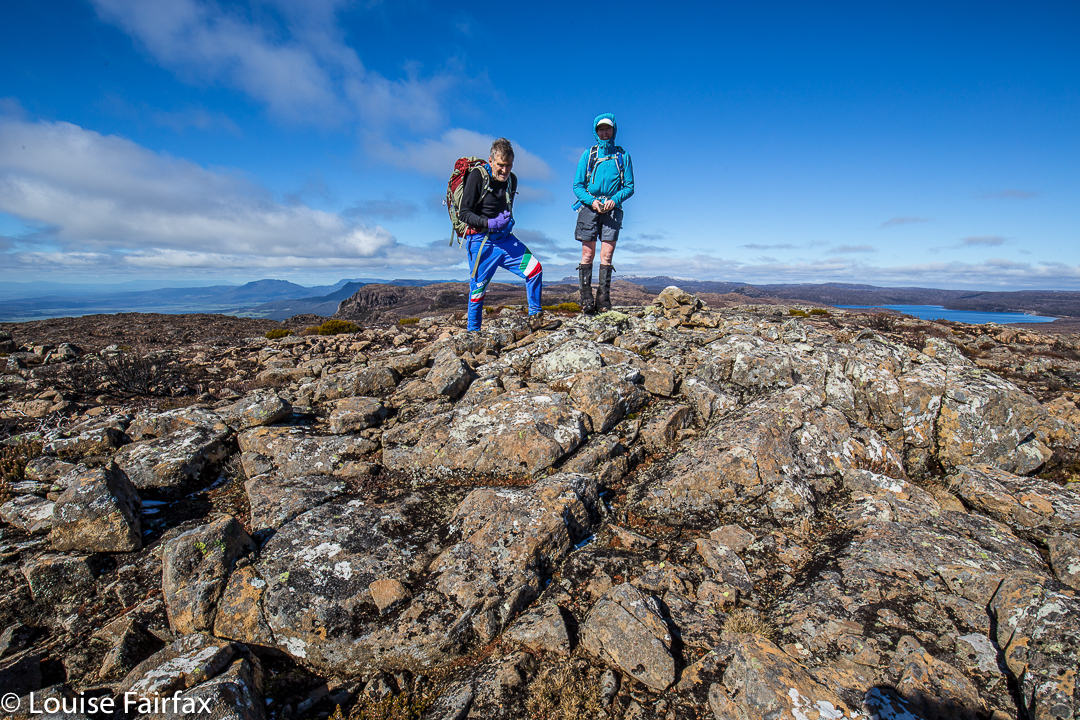
Gussy and I on the summit boulder clump.
It’s hard to find good mountains for a three-generational bushwalk. Toddlers get heavy and it’s tiring lugging them up mountains. Meanwhile, the older sibling shouldn’t do anything too taxing. The normal rule of thumb is a kilometre for each age in years, which helps let growing bones develop well. And then, if one or other of the grandparents is starting to run into difficulties, this has to be considered. Our family found that a walk to the summit of Fitzroy Island was just perfect for our needs, given that we had Abby aged one, Gussy just turned six, and a poppa with Parkinson’s Disease with us. In addition, Abby’s dad was back at home, so her mum had to do all the carrying; on a mountain of this size, that was perfectly doable.
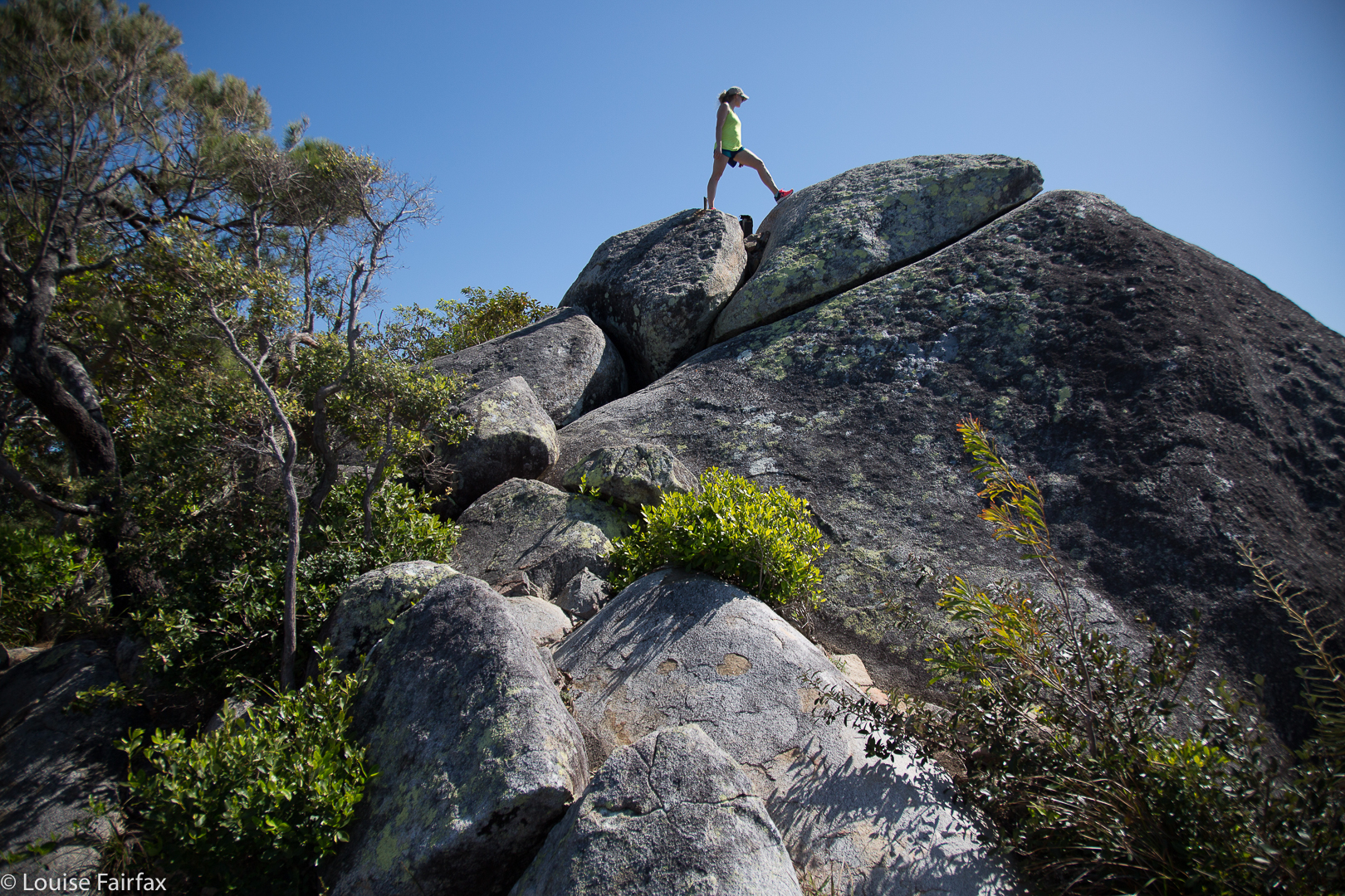
Kirsten scaling the real summit.
We began our climb out the back of the lodge where we were based, with a gorgeous view of the ocean and a wonderful tropical feel. Abby was not so violently interested in the view, but found the couches to be perfect for her ambition to later join the circus as a tightrope walker, and practised on the upper extremities of the backs. Abby really loves climbing anything, but this mountain was a bit high for her tiny legs.
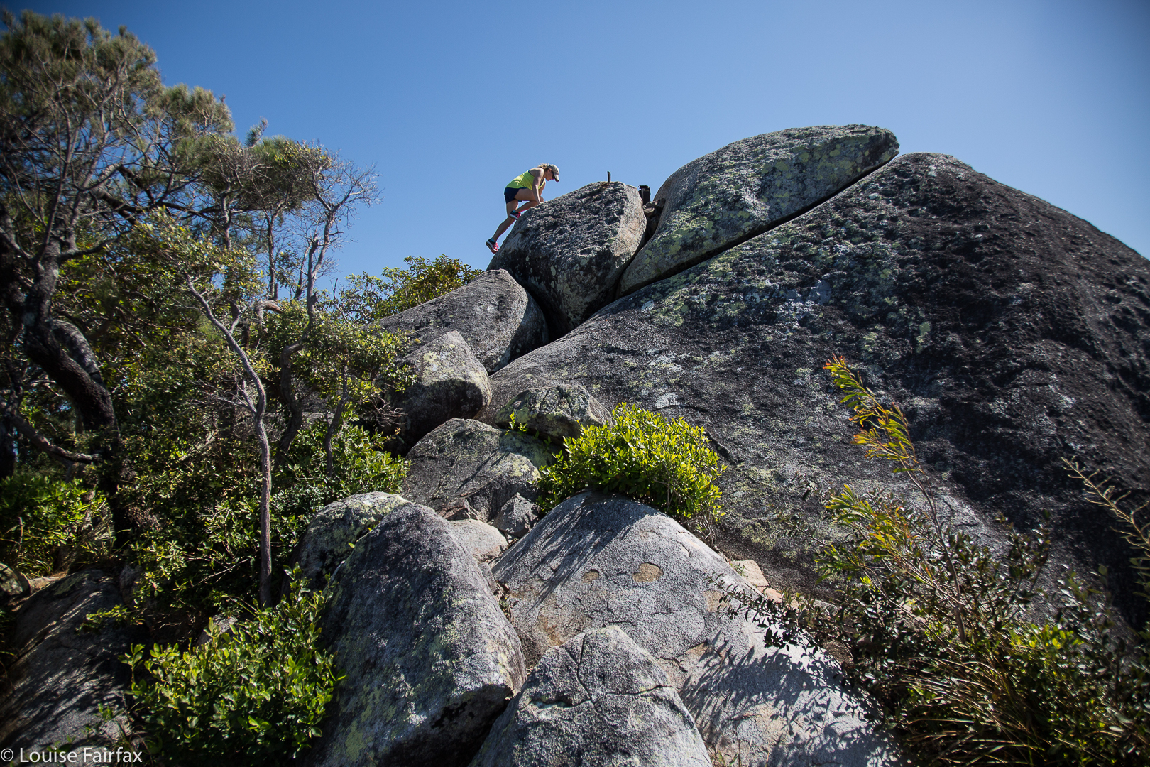
I put in my usual request to be allowed to take the climb at workout pace and be sociable for the rest; my family understands this need. I set out running. Little Gussy took off running after me. Now, without boring you about my places at IAAF World Championships, can you just take it from me that although many years have gone by since then, I found it pretty amazing that this courageous little fellow was still in sight not far behind me after five minutes. It takes a lot of inner strength to run up mountains. Mountain Running can sometimes be seen as a battle of wills, and Gussy wanted to exercise his. But this is about a family bushwalk, and while we two were running, the others were having a lovely time walking up the slope, and looking out at the ever-increasing views over the bay, now far below, and back to mainland Australia. Gussy, red-faced and puffed, stopped sometime after I pulled away from him, and sat with a great view to wait for the others. A safe track like that provides opportunities for groups to spread out if they wish.
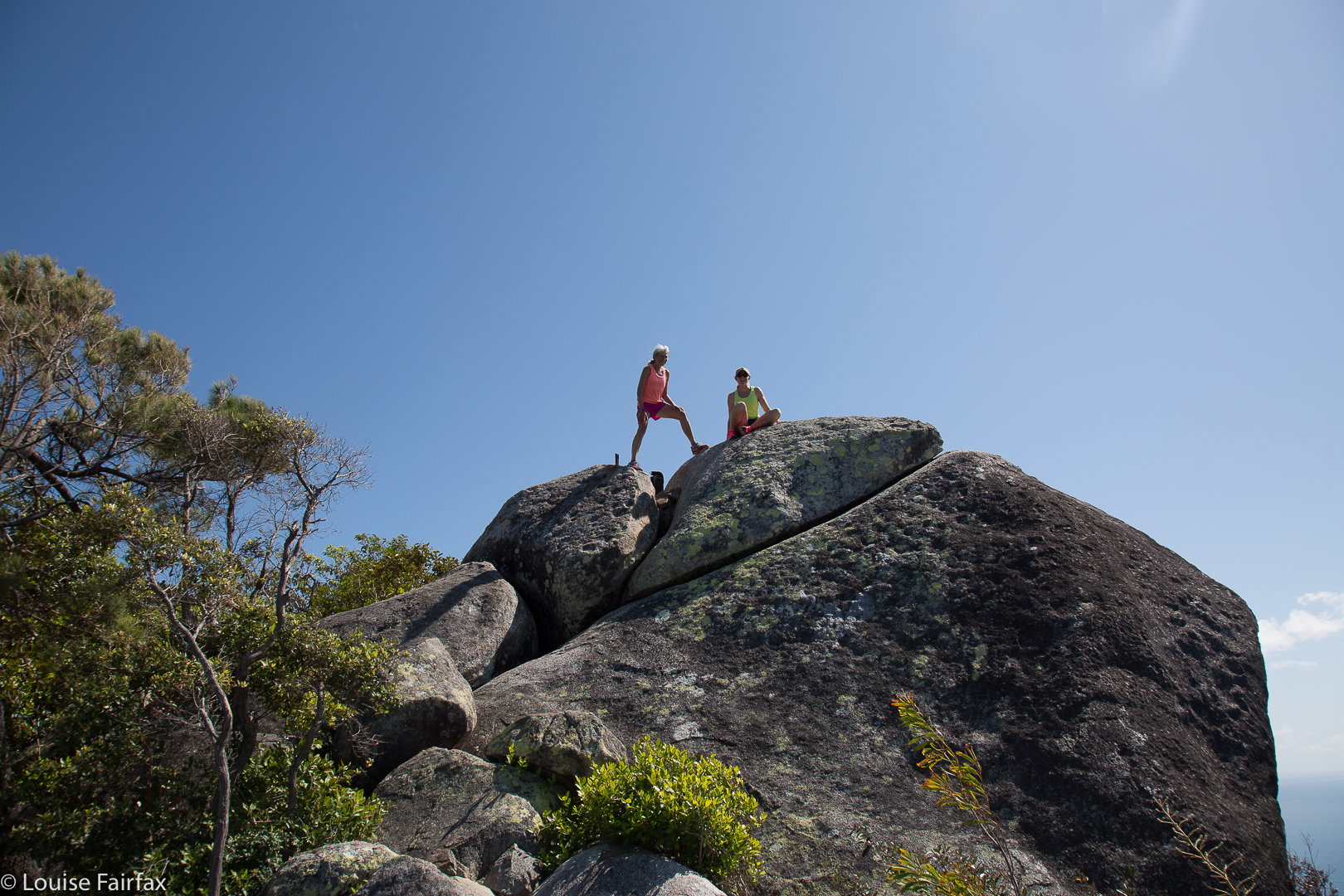
Kirsten and me.
I ran back down to meet the others after I’d been to the summit, and joined in the remainder of their climb, with Gussy leading the family for the remainder of the route to the top. He and I went as high on the slippery granite final boulder as he dared before joining the others for a VERY IMPORTANT part of a bushwalk for infants: namely, chocolate and snacks on the summit. On this summit, there is a lookout (with other fun rocks to climb beyond), and seats. Everyone except me feasted on M and Ms. I’m more fussy, and wasn’t hungry anyway.
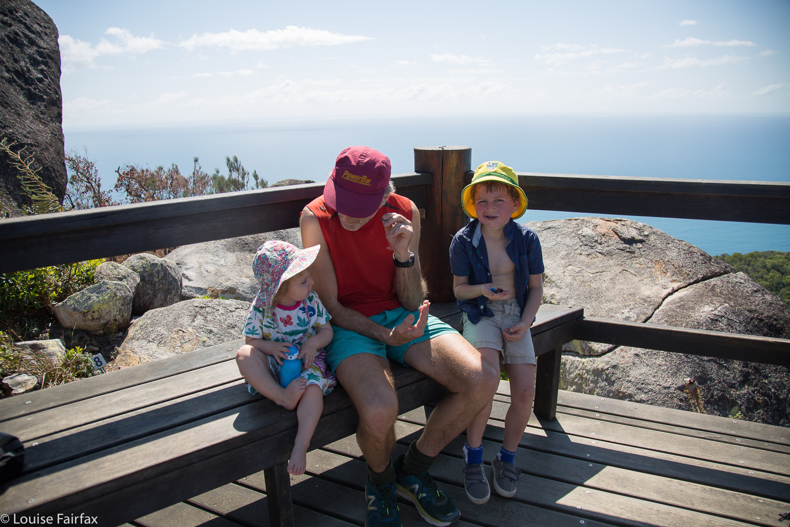
Snack time.
We elected to descend via the lighthouse track, which added distance to our walk. The first part is dry and quite open, and then, after the lighthouse, the rainforest coolness returned. It was great to see other families using this track. We were back in time for everyone to have a swim before lunch, but not before we’d visited the turtle hospital, and seen turtles damaged by careless human plastic and nets, now recovering in tanks before they could be released back into nature. Next day, we would have huge excitement, as we got to swim with wild turtles.
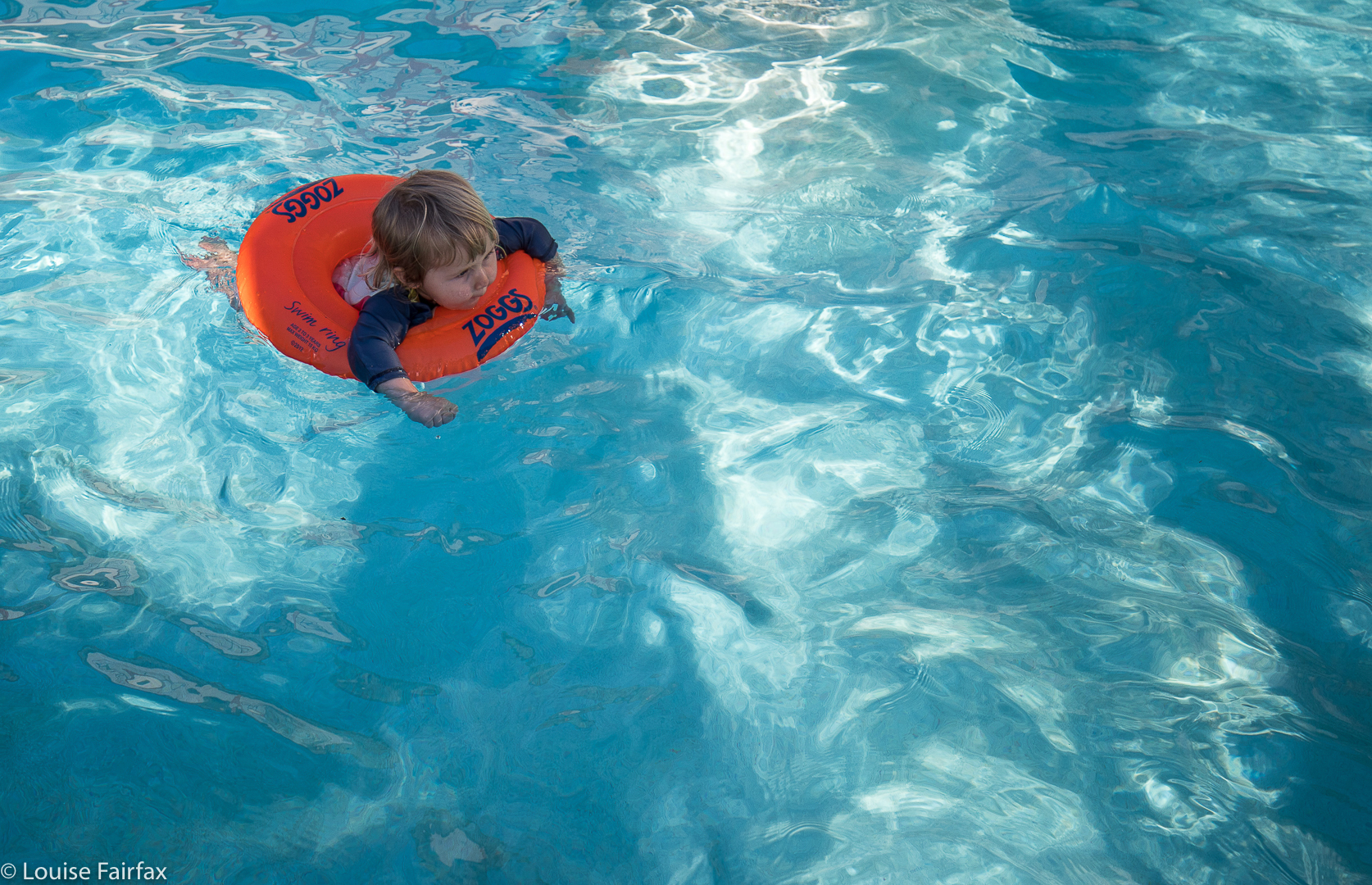
A fitting reward at the end. Abby afloat in the pool. Possibly cuter than a turtle, and at least as wild. Hopefully not damaged by plastic.
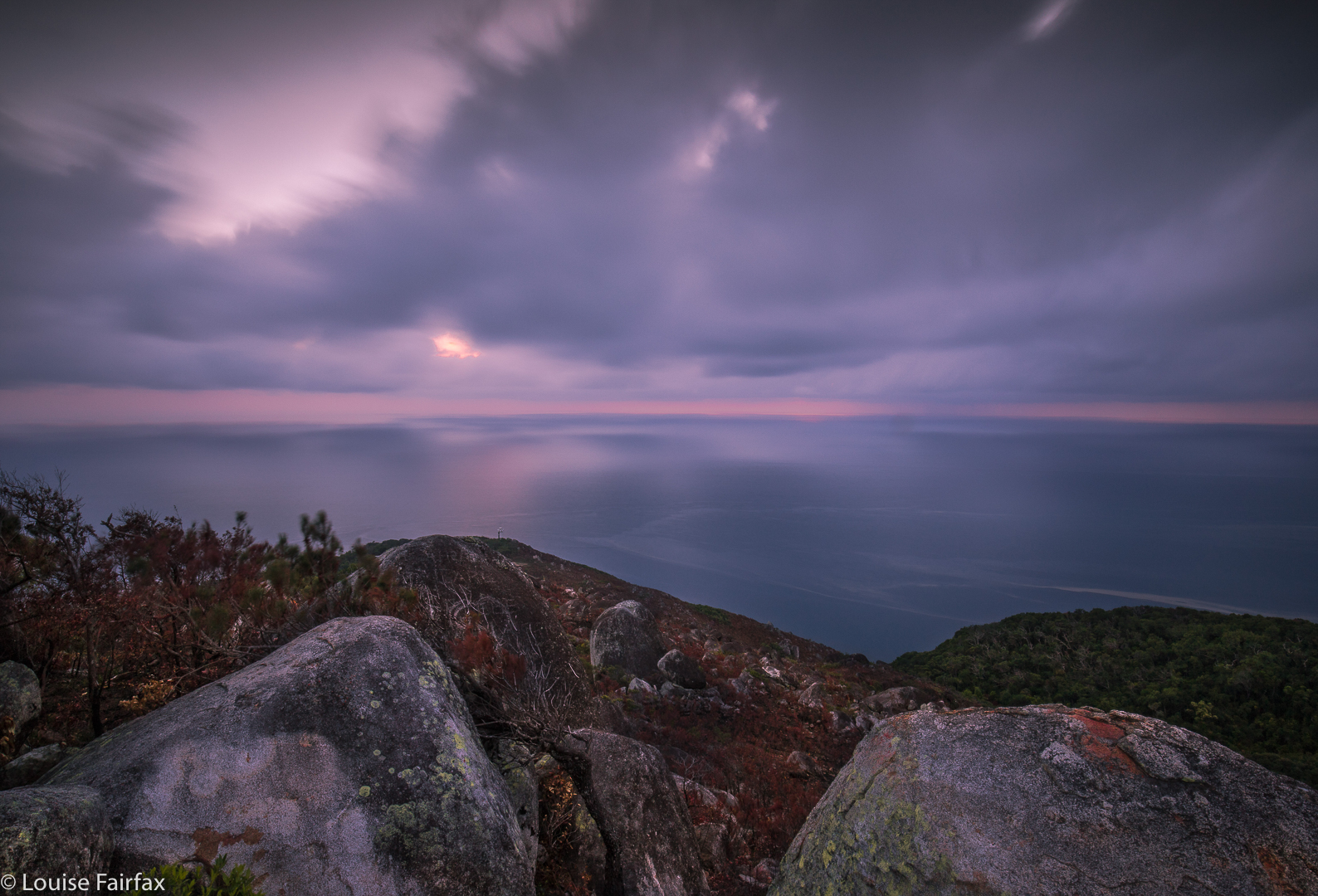
Dawn next day. I climbed up in the dark, power walking rather than running this time, lugging my many kilos of photographic gear.
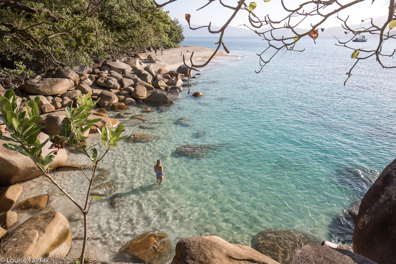
Yelena watching out for more turtles