Sharlands Peak, Frenchmans Cap 2021

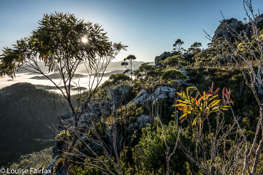
Here we were at another saddle on our supposed climb of Sharlands Peak. It was another dead end with a drop to certain death if we took another step, or peeped over the abyss too enthusiastically. I took another photo to match the mounting collection of “failure saddles”, sighed a meaningful sigh, and withdrew. Again. How many saddles were left for us to try?
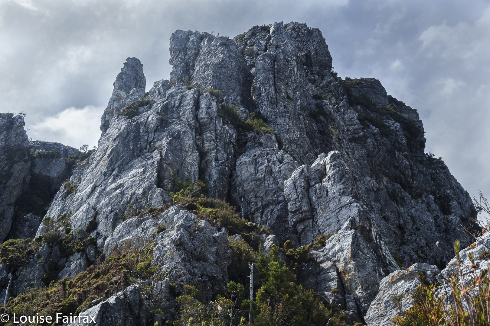
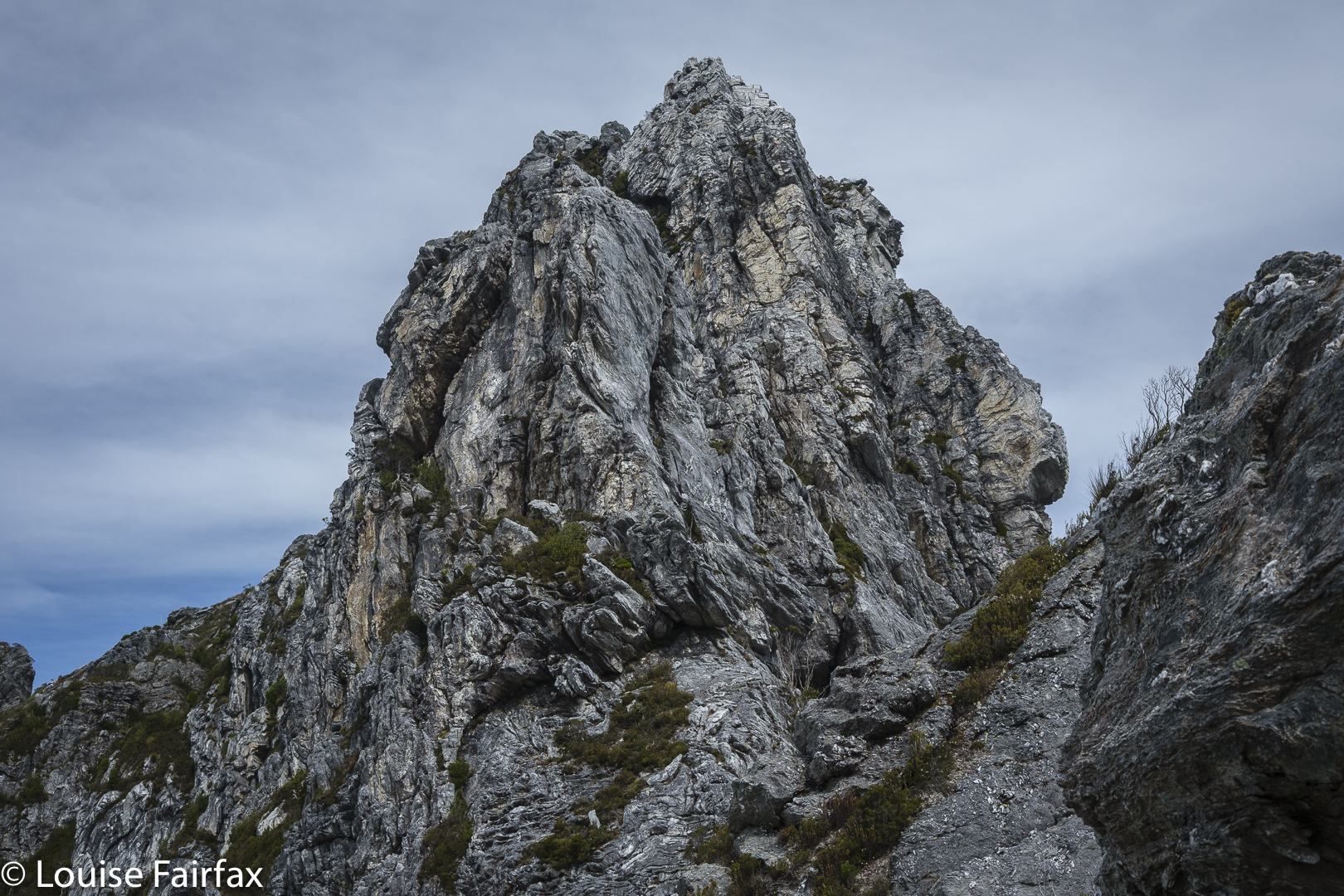
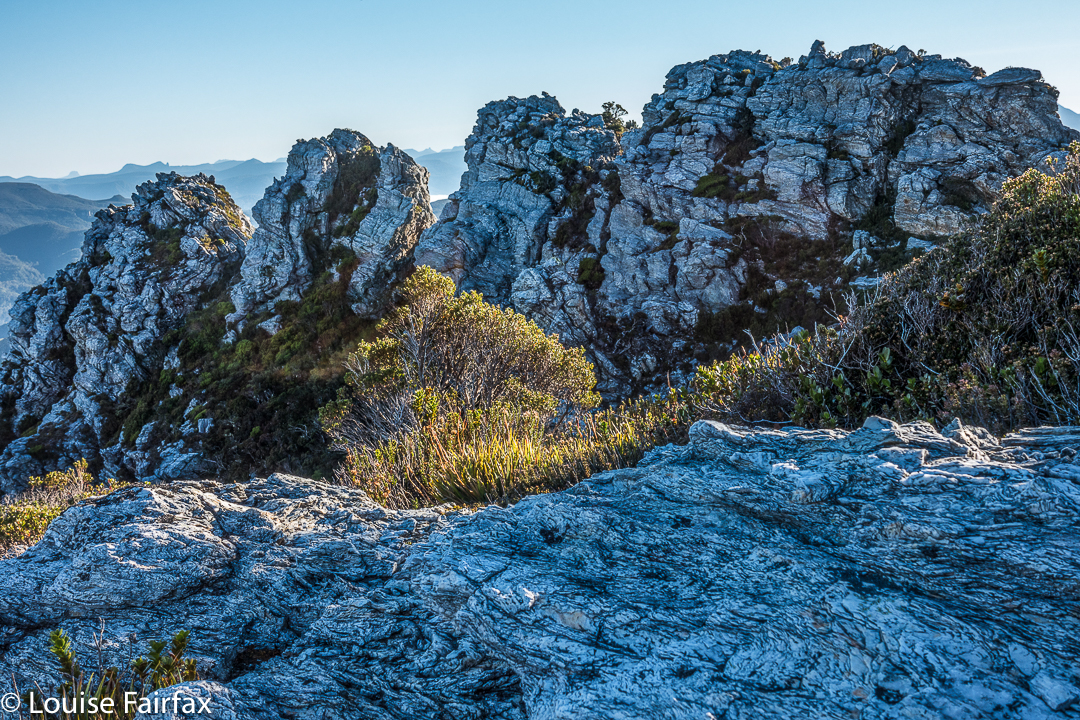
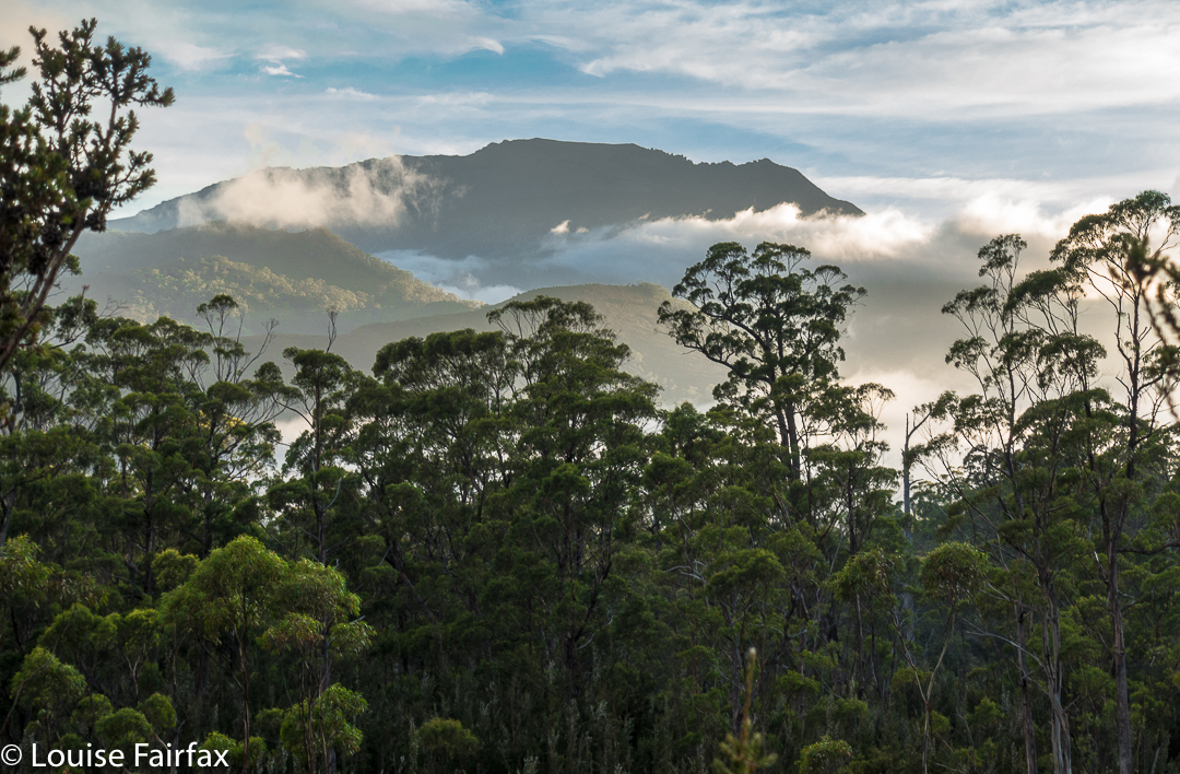
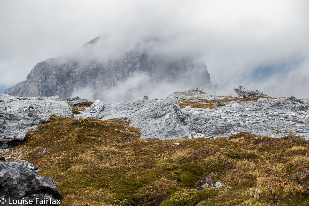
Nicoles Needles, a lower part of the Sharlands Peak tower group, nearest Barrons Pass
Climbing

The book had merely said to head east to a saddle that had mild exposure. There had been something about a ridge offering dramatic views, as well. Did the writer not remember there are myriad tiny saddles up there? Or that east covers a multitude of general possibilities ranging over a possible eighty-nine degrees? We kept gazing over edges that dropped to eternity below and asked each other: “Does this constitute ‘mildly exposed'”? “Would you call this view ‘dramatic’?”
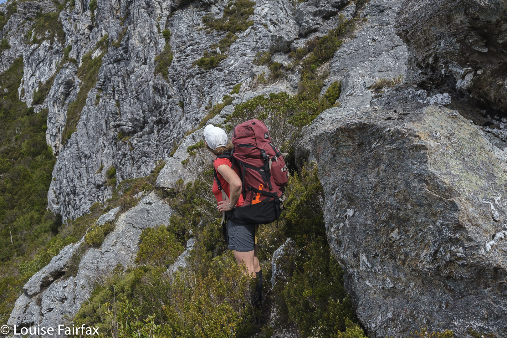
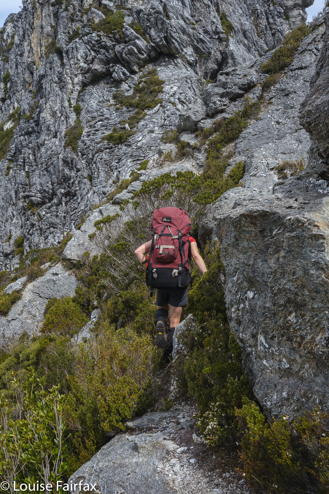
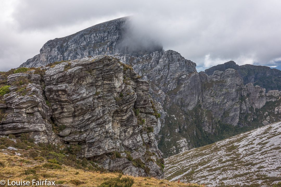
Hm. We go up THERE?
Traversing

All the views were dramatic. Every saddle had a certain degree of exposure. How nauseous did you need to feel before you could pronounce: “This must be the one; I can identify it by my stomach.”
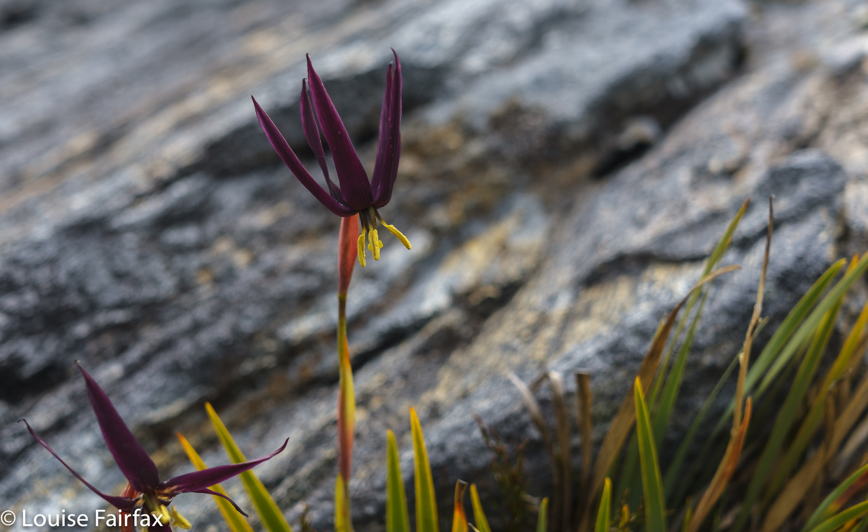
Isophysis tasmanica

We would be on a saddle, looking up a knife-edged ridge that brooked no error: one rock falling out of the collection, one slip and the climber was gone. You couldn’t see what lay beyond the next dodgy climb. Was this where we were supposed to go? There was no point in risking it if it was yet another dead end, but we couldn’t see if there was any use trying from where we were. One of us would climb the next bit and report back on the likelihood of this being the way … or maybe offering A way, even if not THE one.
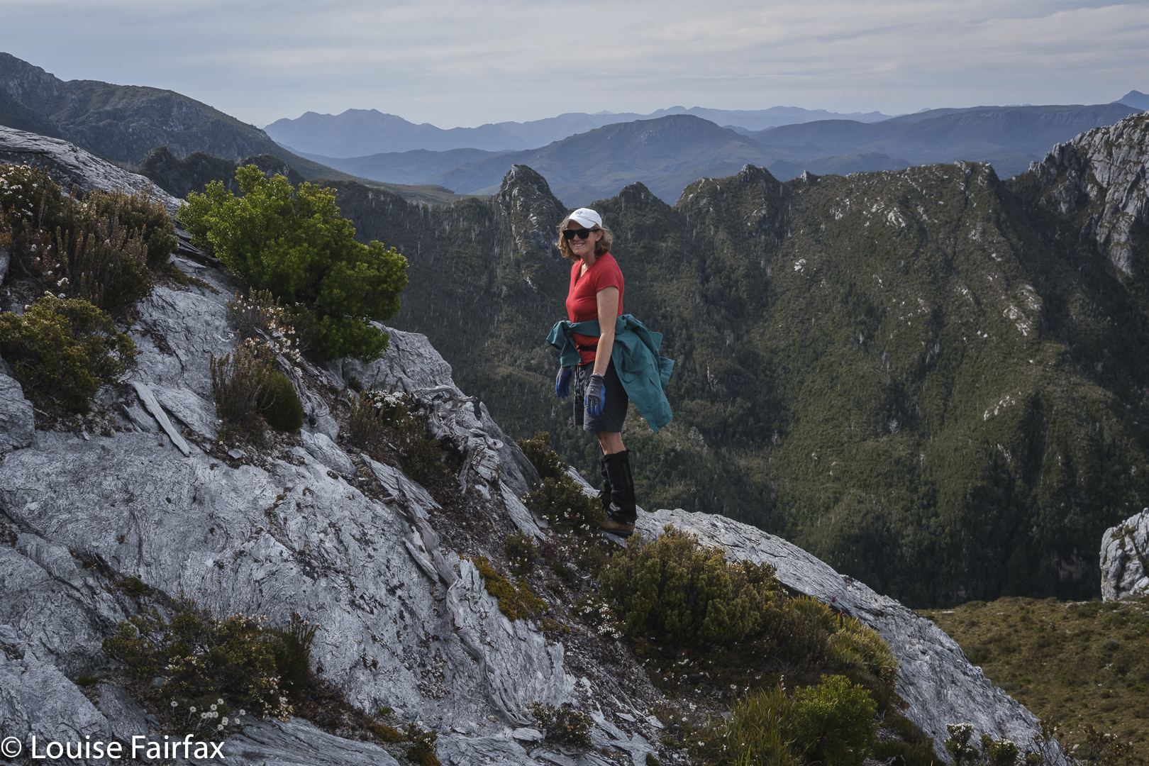
Getting higher

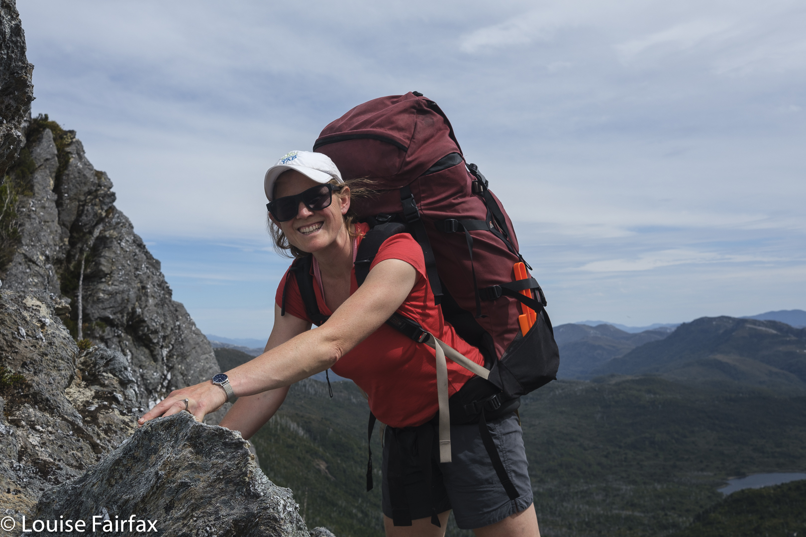
Now that it is all over, this nervy trial and error seems rather fun, but at the time, my nausea level was mounting, especially when it was my daughter’s turn to try out first and I could see my beloved offspring straining her way up rock that looked too loose for my comfort. She is very experienced and capable, so it seemed terribly condescending to call out: “Be careful. Test each rock hugely before you commit to it.” But love made me want to yell precisely that.
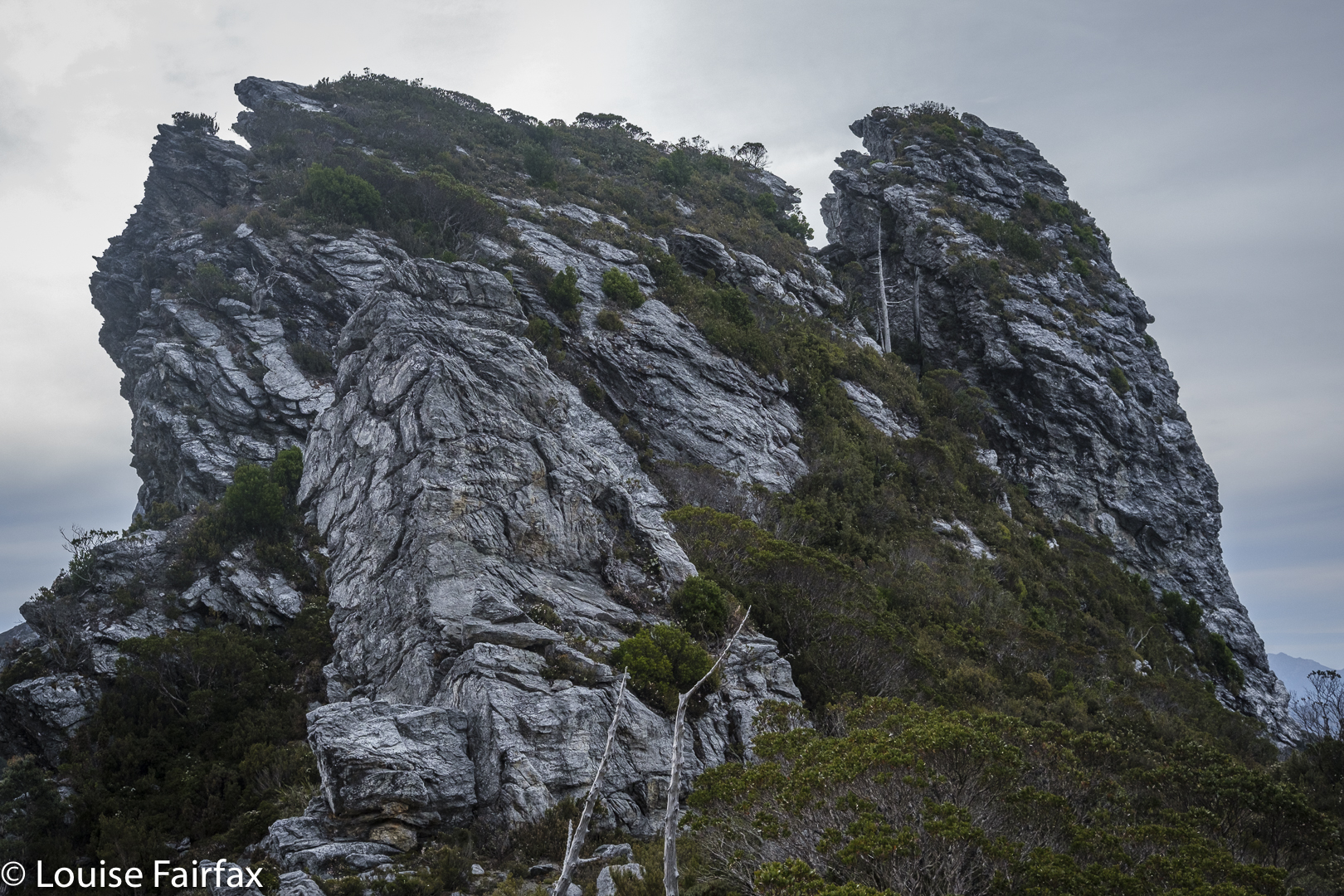
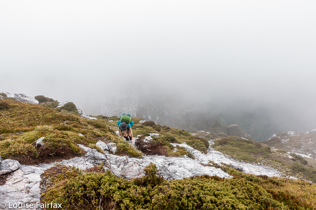
Another saddle, another needle but not the summit. Sigh.

We found ourselves by and by at the top of the landslide. The book had said not to go via the landslide, but it meant not to climb that way from below, and  implied the real danger was lower than we were. Should we keep trying here?
I was beginning to give up, I have to confess. I announced that I had just lost interest in this Abel, and thus in the idea of getting all Abels. I was ignored. Mercifully. We tried yet another tack. My turn to go first. From this knob, I could see a saddle that surely led to the top, and I thought I could make out a possible route that would find us at that saddle. Kirsten came up to get the view and agreed. Here  we go again. This was not the first time this had been said in our tour of these maze-needles. We tried on rough contour. Failed again. Dropped again but not too far and bingo. We could see a possibility of gaining the top.
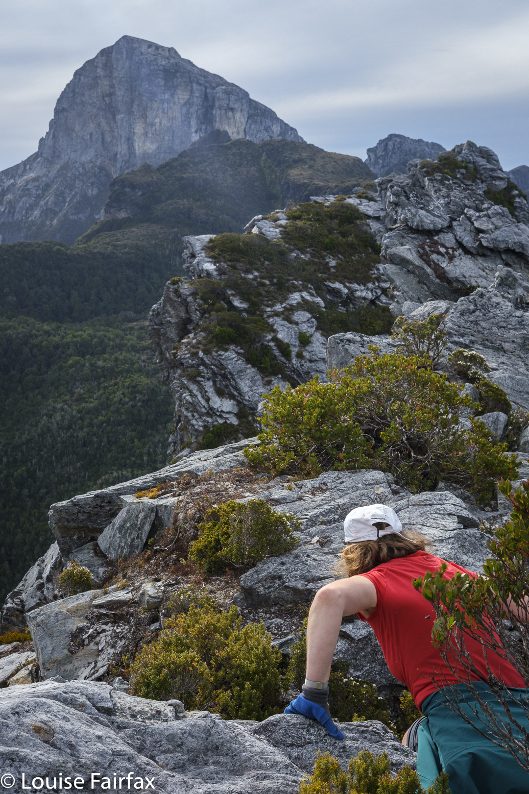
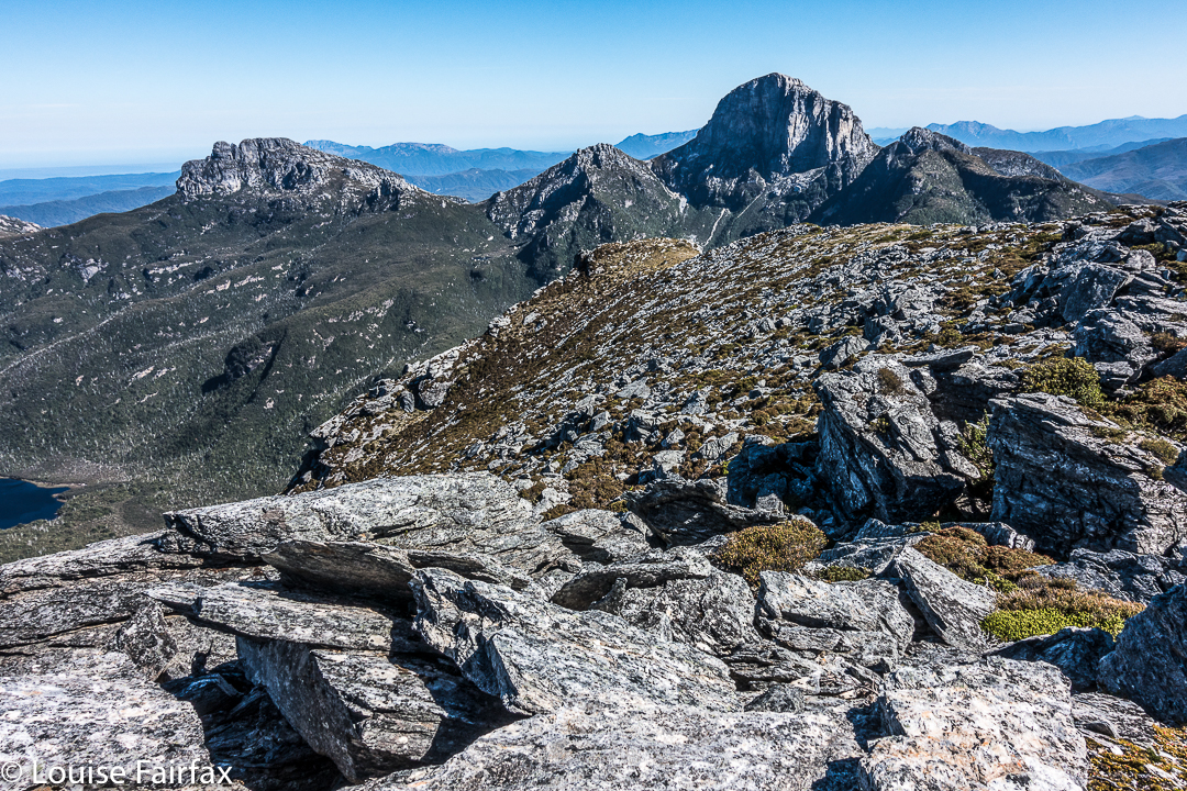
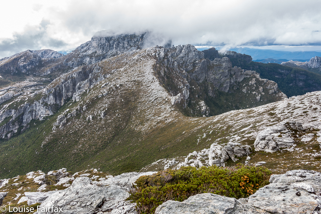
Another push up to a higher level, but we are not where we need to be. Great views, though.

Yet, even as we climbed this, we had to tack and back a bit in order to get a route that would take us up and not on the flight of our lives. Now that we have successfully done it, it all seems terribly easy. Uncertainty about whether what we were doing was yet another false manoeuvre was part of what was mentally trying. But, I have to say, the whole uncertainty ultimately engendered far more excitement at success than if we had known all along that we would get there.  It was fun having to work it out and do it for ourselves. Too much of our wilderness is being dumbed down. “Wild” and “dumbed down” are actually mutually exclusive, in that the word “wild” has as its antonym “tame”.  Could someone please explain that to our government?
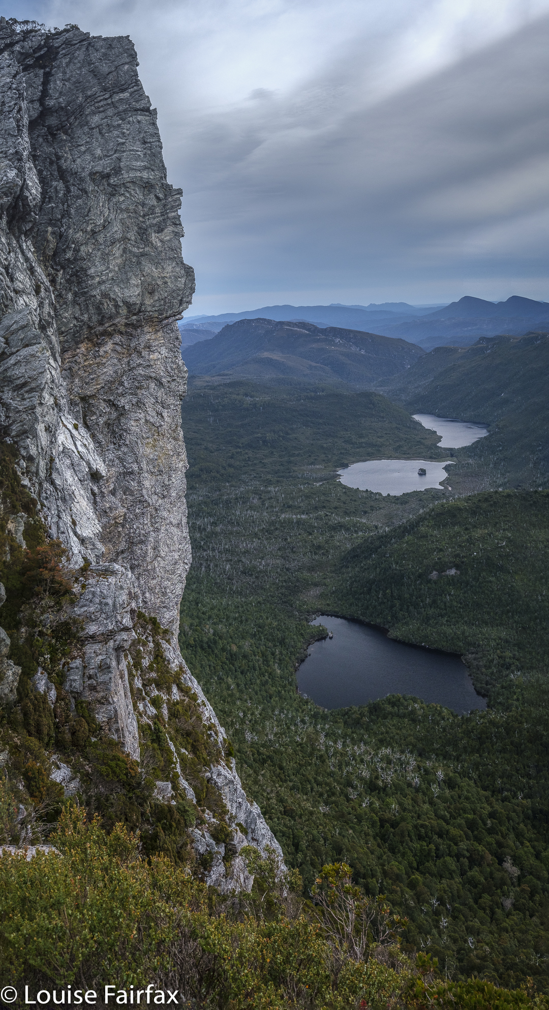
Pano. At last we have found the summit needle.

There was the summit stone. I couldn’t care at all about who touches first, but Kirsten wanted us to touch together. It’s a cute ceremony. We did it. I snooped around the back, and called out that I’d found a way of actually getting on top of it. (It was too high at the first point for either of us to scale it.)
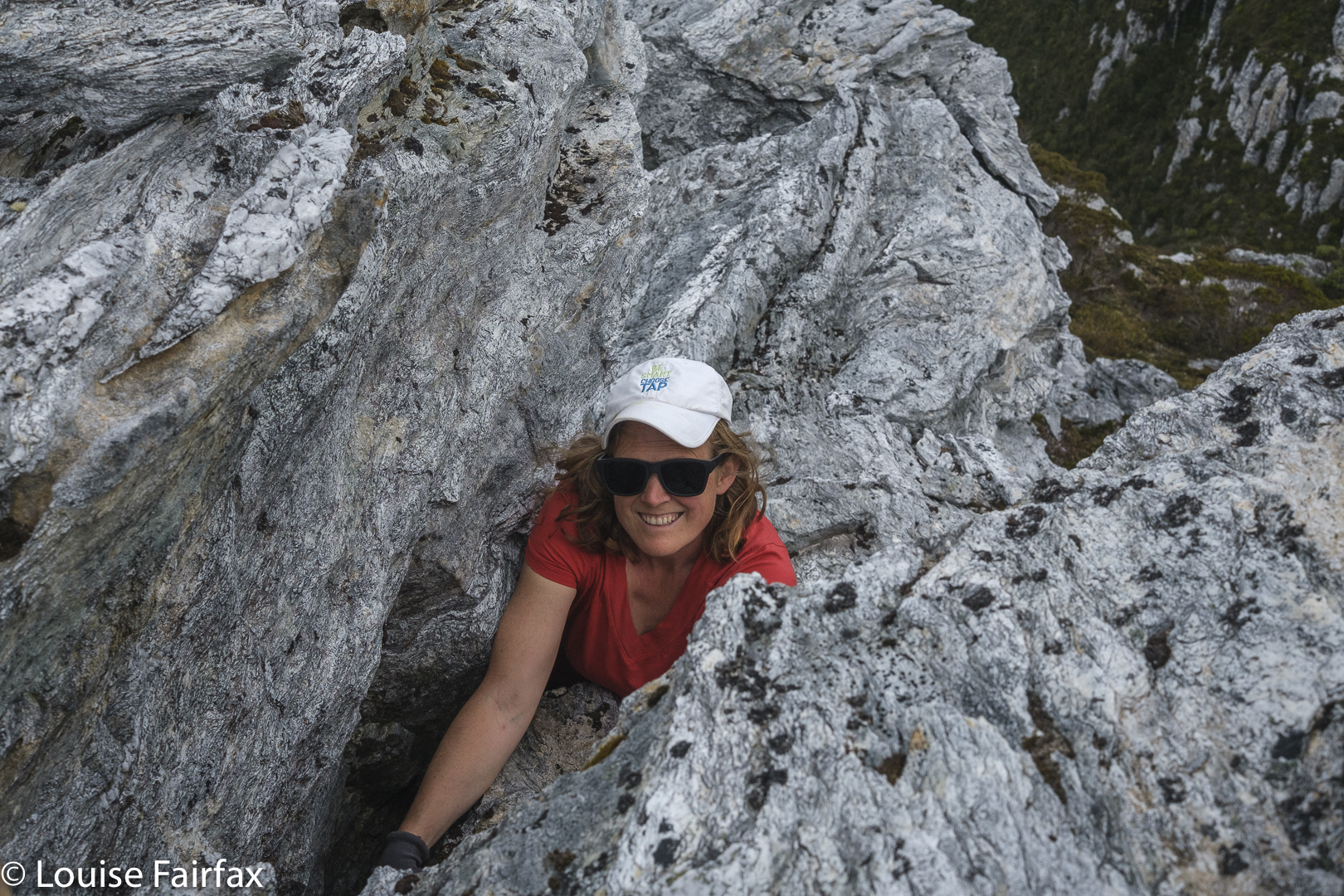
One final grunt and we’re both on top.

With a grunt and an accelerated effort, I gained enough height to then haul myself to be on top. Whoah, it was windy up here, only 2.3 or so metres higher. Kirsten of course, quickly followed. There was not room for a third person up there, but we were only a duo, so that hardly mattered. We briefly enjoyed the view, and descended extremely quickly now that we knew the best route. Our little welcoming tent far below signalled our new goal.
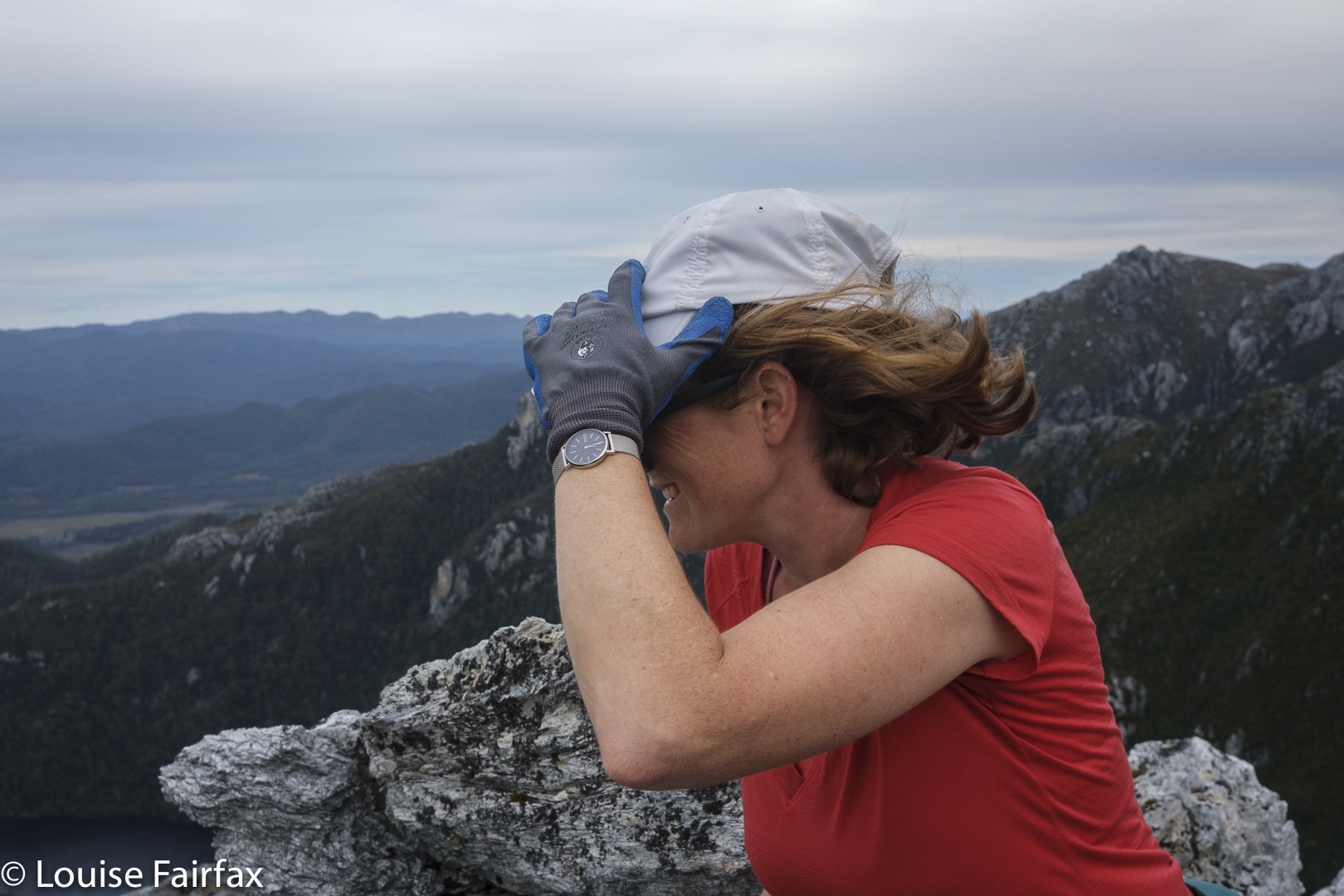
Weeeee. Made it. Summit of Sharlands

How lovely to reach our tent at last. It had been a long day. We had driven in, walked past the Lake Vera hut (where Kirsten had a swim en passant), climbed Barron Pass in what felt like oppressive heat, enjoyed the view up there, and then gone along to curve around to the valley behind our desired peak. We were filled with joy as we descended. There we were in a a quiet valley, surrounded by astonishing majesty and soothing silence. THIS was wilderness. This was what we’d come for.
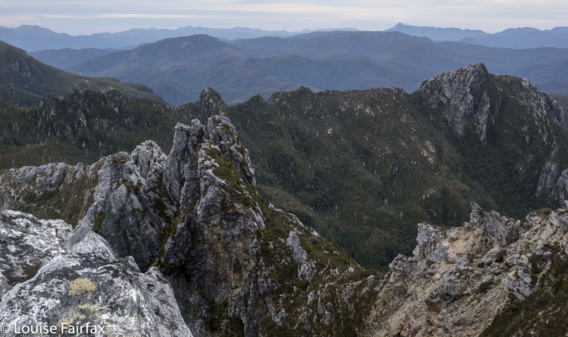
Views. The landslide from above.

Earlier, despite the already very long day, we had made the call to climb this peak today in case the bad weather came in early.  Now we were back at our tiny red haven, we couldn’t have been happier. The evening was mild enough to cook and eat outside and stare at the changing light as we ate our delicious (only in the wilderness) cauliflower and pea dahl – the normal rehydrated, formerly dehydrated fare.
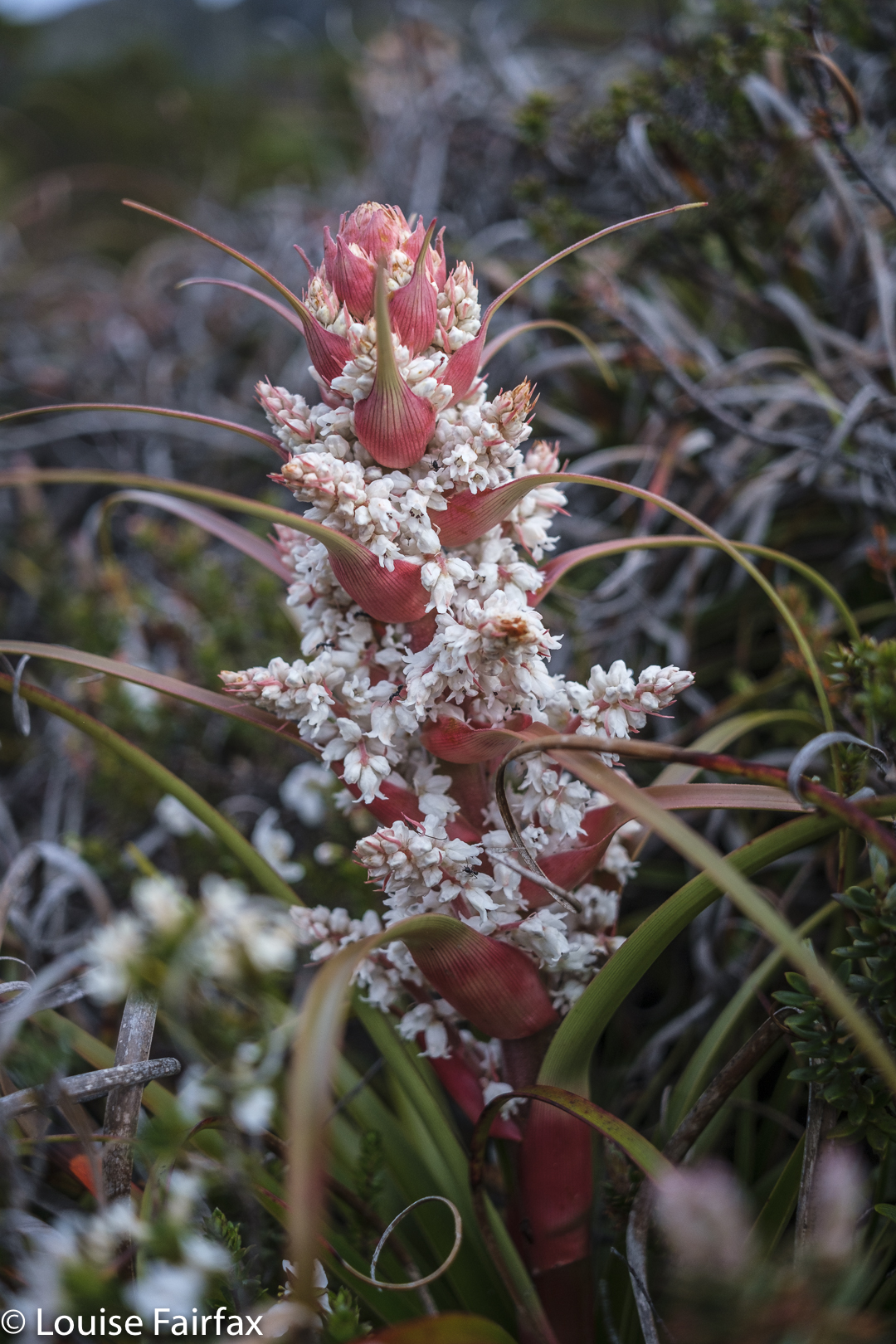
Dracophyllum milliganii near the tent

Sharlands was a kind of bonus, brought about by the expected bad weather which had been forecast for the next two days. We had changed plans and now got in a peak while the weather held. Now, if it turned totally sour, at least we had something to show for our efforts. Kirsten had kindly taken a day off work to be with me and climb a mountain together. It was great that her generosity was not in vain.
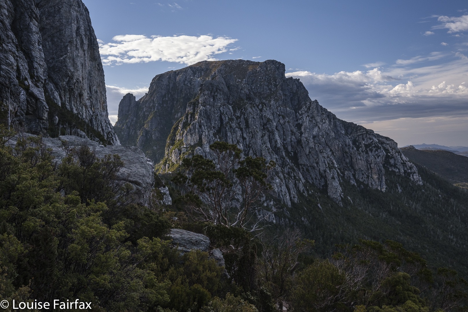
Day 2. Looking back to Barron Pass

The next morning, it was not yet raining, and there had only been a couple of light showers during the night, so we decided to head off in the direction of Frenchmans Cap, and maybe climb it, maybe not. The world was our oyster. We’d respond to how we felt.
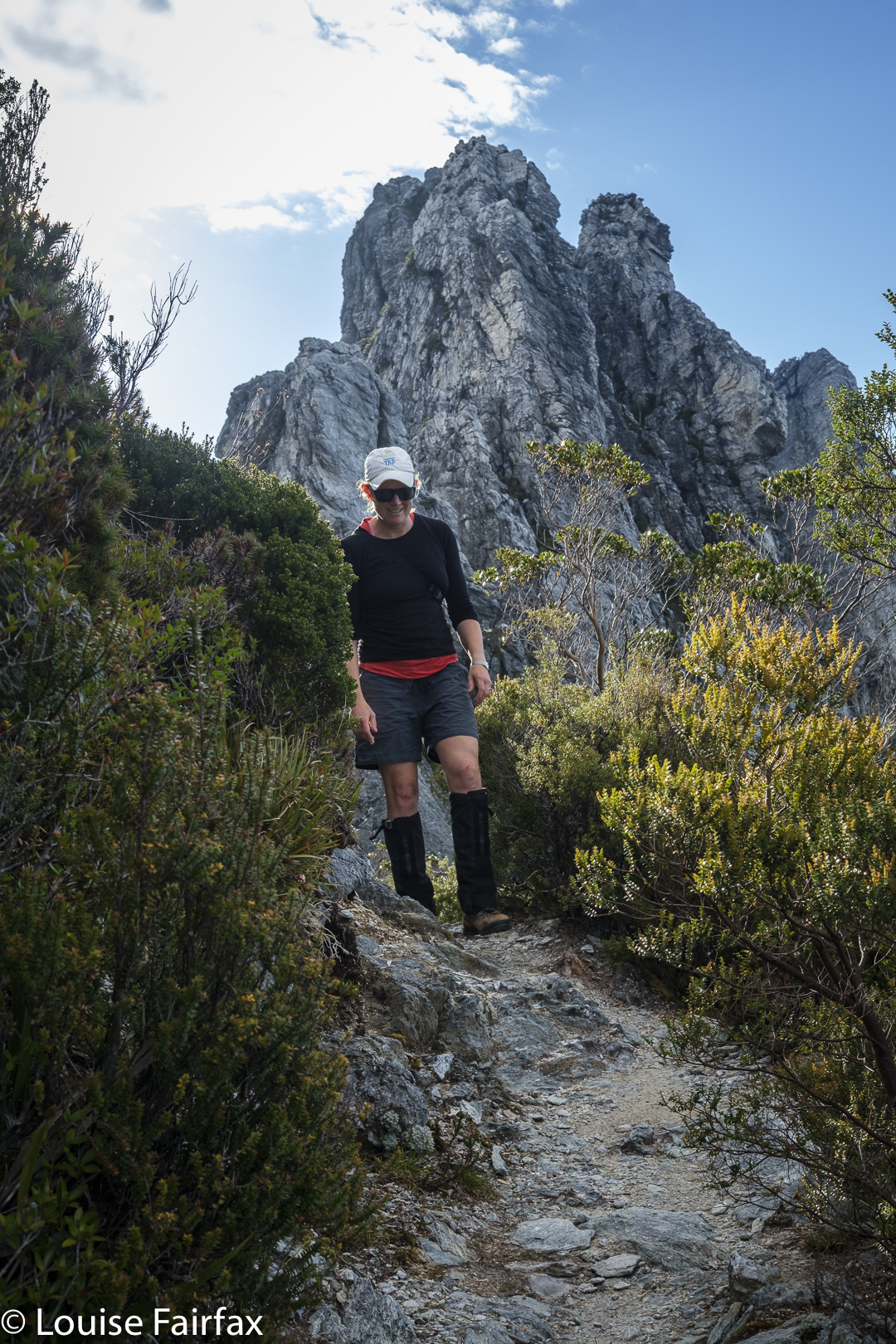
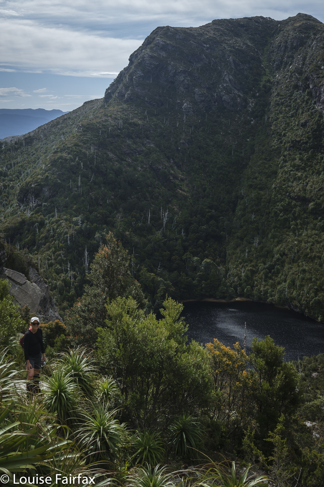
On the track to Frenchmans
Lake Tahune below as we climb higher

Of course, we ultimately felt like climbing, even though the weather started to close in (and we had to allow a great deal of time for photography of flowers and views, and for Kirsten to enjoy a swim in Lake Tahune). We were under no pressure, time or otherwise.
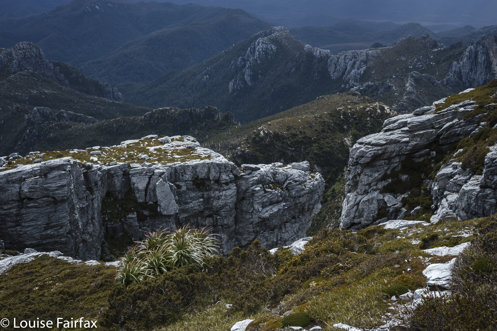
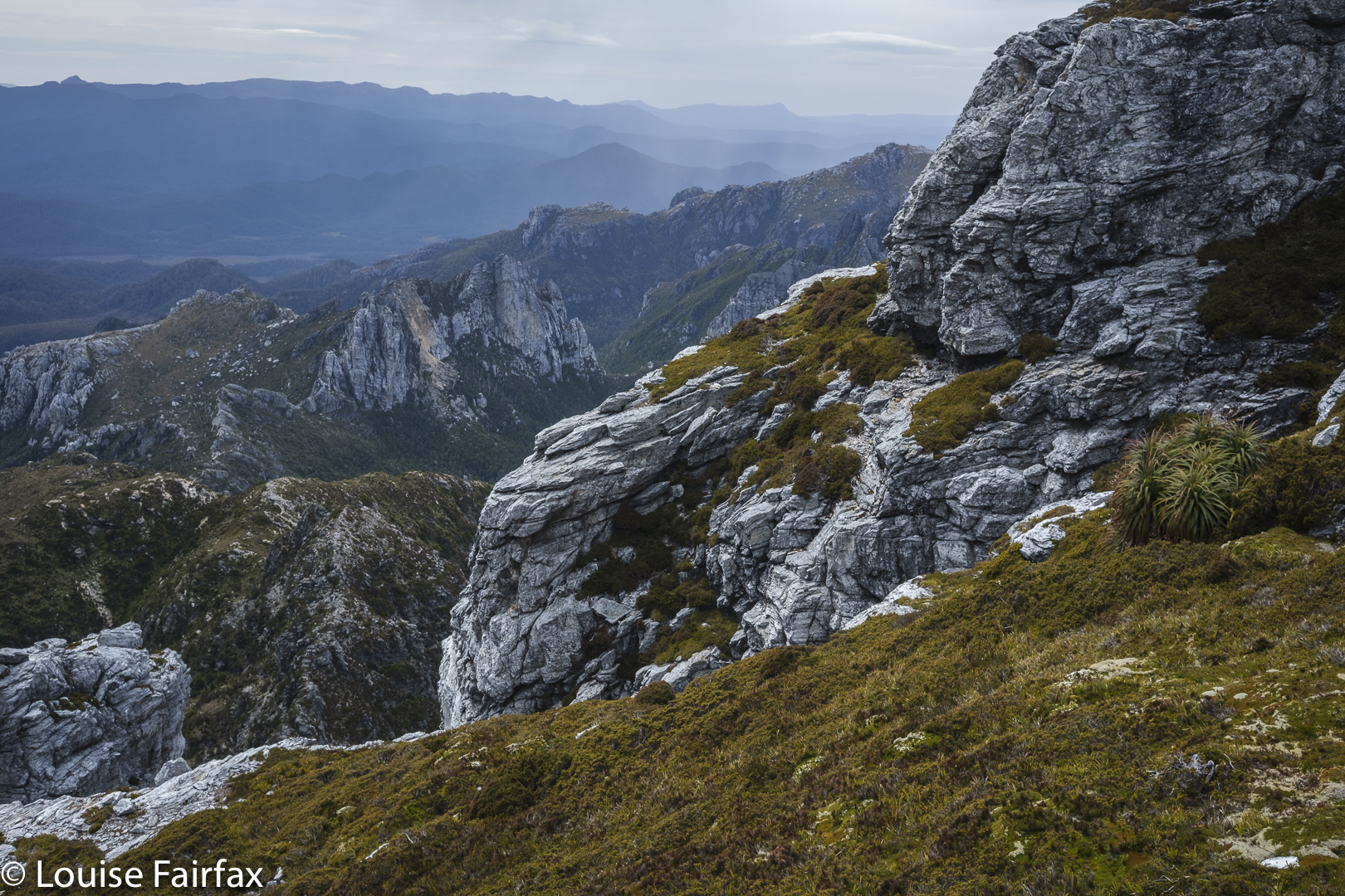
Mountain drama
More mountain drama

We had climbed it together (with Bruce) when Kirsten was a student, so this was a revisit, and in fact, I have now climbed it five times. Familiarity has not bred contempt. This is one heck of a beautiful mountain, and the climb is pure fun – especially on this day, with wildflowers everywhere, with high drama and an approaching storm and with a monster feeling of satisfaction that we had Sharlands Peak on our list of climbed mountains. Three Abels to go. Weeee.
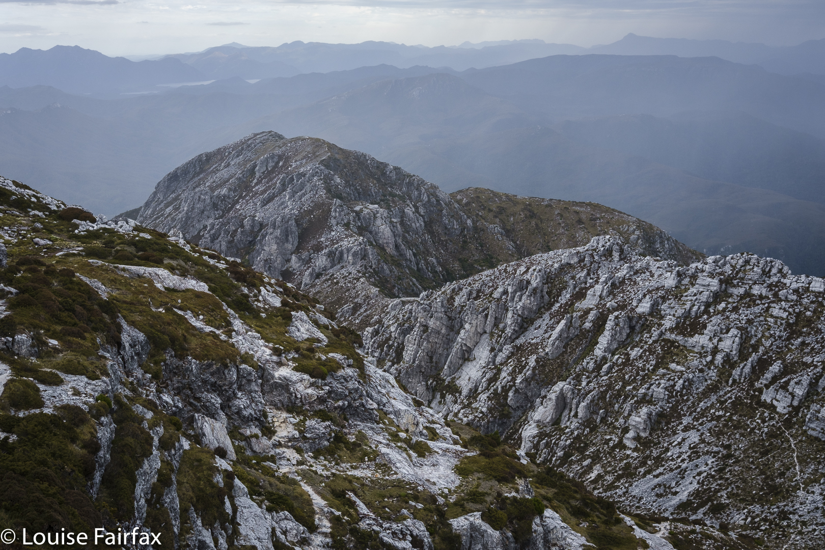
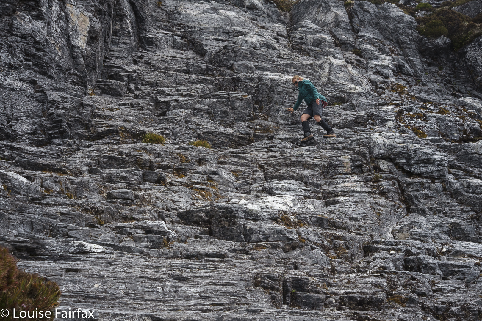
More mountain drama
Descending

We celebrated at the end of our walk out next day with a ‘works hamburger’ at the Hungry Wombat. After three days of bush fare, I felt unaccustomed to so much real food all in one go, and was uncomfortably full as we continued on our way. It’s Christmas. We boomed out the Messiah as we drove back to Hobart, singing along together with gusto as we headed east.
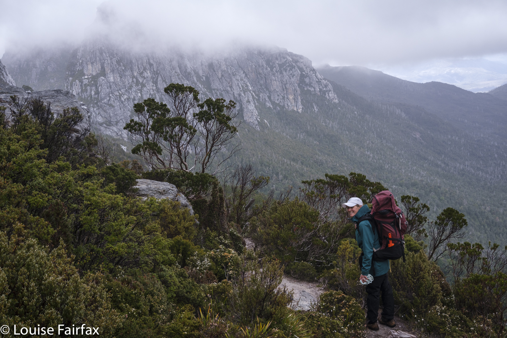
Back on the track with the trusty pack
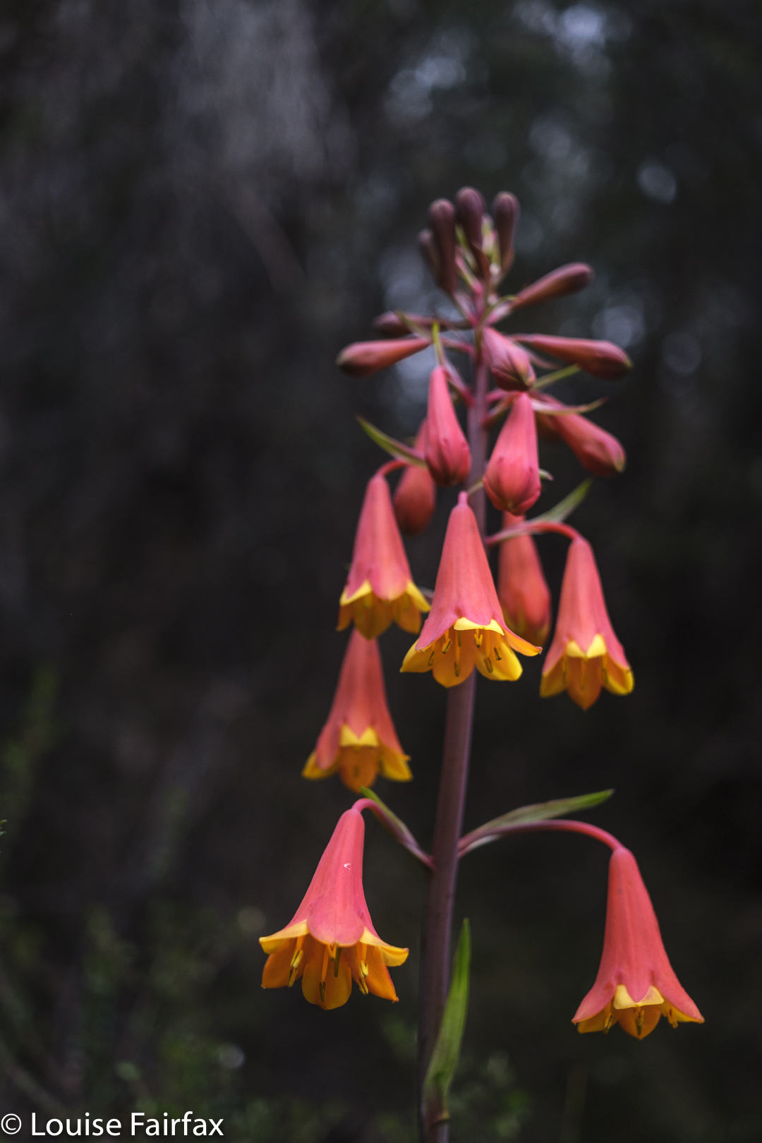
Blandfordia punicea for some Christmas cheer on the way out.

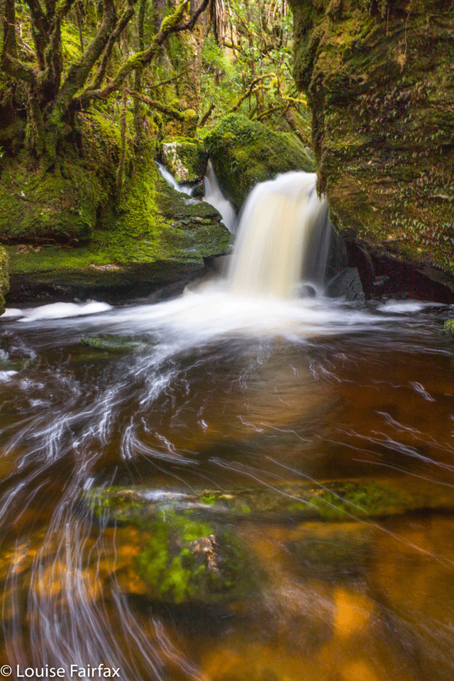
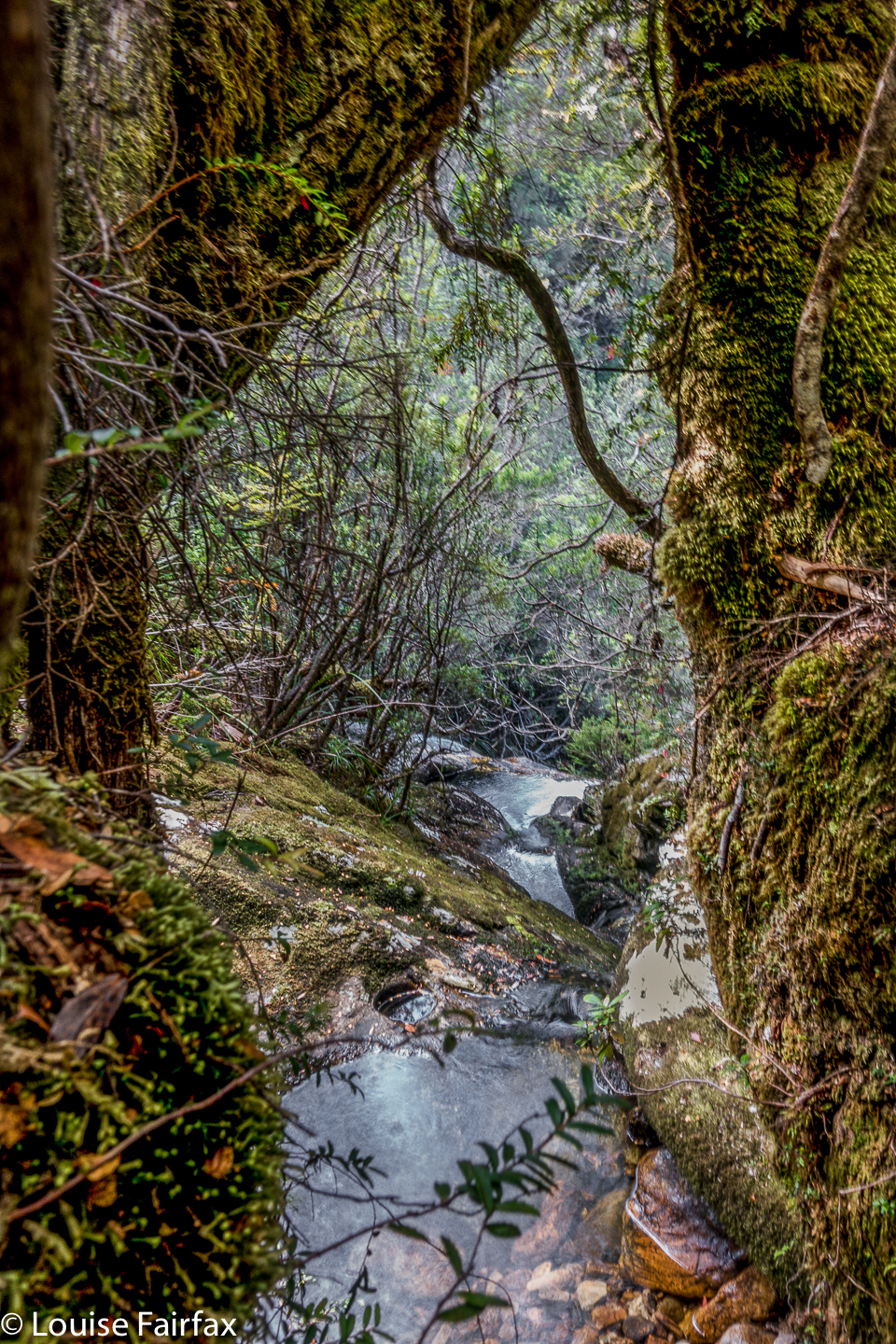
Vera Creek Falls, Frenchmans Cap

Vera Creek Falls, Frenchmans Cap 2019 Mar

Vera Creek Falls 6.

Vera Creek Falls were not initially the object of our bushwalk. It was my birthday, and my daughter had taken the day off work and tossed in the weekend to climb a mountain with me. The trouble was, the rain was howling more fiercely than the wind, and my daughter had hurt her knee two weeks before doing a race in NSW called the Six Foot Track, which is so gruelling that her runs up Mt Wellington seemed nugatory as practice. Camping on Baron Pass for night number one was pruned back to limping into Vera Hut just as darkness was beginning to require a head torch if we’d been out any longer. (In case you think she was REALLY injured, I’d better add that we didn’t get started until 3pm.) I’d watched the limp develop early on, during the very first climb, and worsen with each successive slope. One thing at a time, but things did not bode well for the morrow.

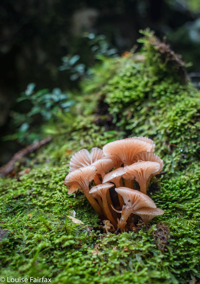
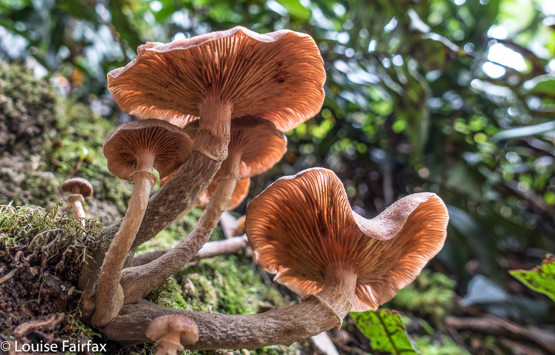
Hygrocybe roseoflavida

Now, as adumbrated, we were sopping wet by the time we descended the final drop into the hut, and had been discussing how very nice it would be if someone else just happened to be in the hut, and if they also just happened to have the fire lit. Sigh. Dream on. “Hey mum, I see a light,” Kirsten exclaimed. “Oh wow. Do you think they know how to light a fire?”

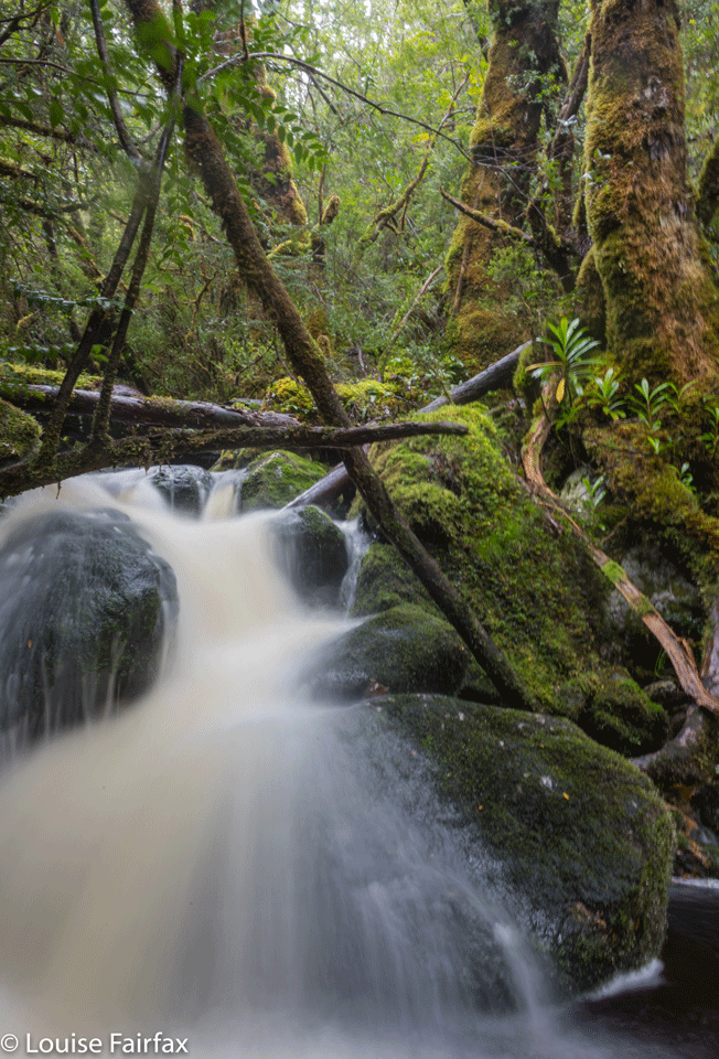
Vera Creek Falls 4

We opened the door and peeped around the corner, but we didn’t need to ask our question. The magnificent warmth of the glowing stove greeted us, as did the welcome smiles of seven or … was it nine?… happy faces. While we dumped our sodden packs and pulled out our sleeping bags and dry clothes, these guys pampered us by collecting water from the tank outside and hanging up my horrid lumps of fabric (I am too small to reach the pegs). We chatted convivially while we eventually ate our dinner, and had good fun together.


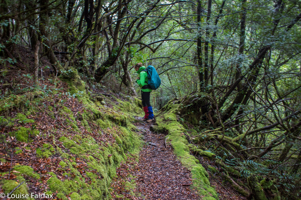
Kirsten was not in a rush next morning, and I figured we had little chance of summitting considering the state of her knee and the rather appalling weather out the door, so we took things gently, both in terms of departure time and pace. I have never wandered through this forest at such a relaxed speed, and it gave us both time to enjoy all the aborning fungi more thoroughly. There is nothing like rainforest in the rain. Every leaf glistened. The moss was spongy and thick. And as for Vera Creek, it wanted to challenge Niagara. Even the track was a waterfall worthy of photos. We sloshed and admired. I didn’t take too many photos on the way up – just enough to be happy but allow me to catch up in between shots.

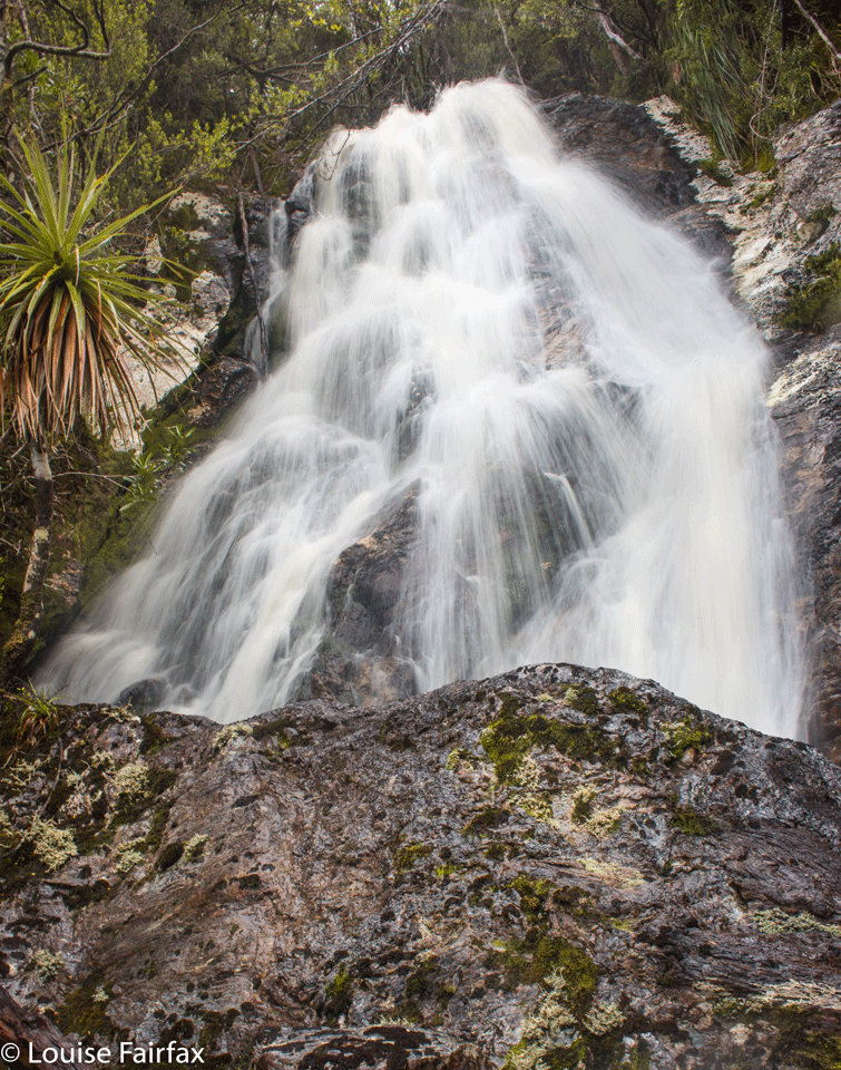
Vera Creek Falls 2

It was late morning by the time we reached Baron Pass. The sky was black ahead. Thick clouds obscured all mountains. And yet, the sun shone in a tiny circle that happened to contain us. Always being a little hungry, I suggested an early lunch during the lull between downpours, and I was so glad I did. By the time we’d finished, it was deluging again, and we decided to head for base and skip the idea of a mountain. Back we went, with far more photography this time, slosh slosh, all the way to the hut, where we read and did some exercises to stay warm, ate more and then it was time for dinner. Kirsten lit the fire while I cooked, and all was cosy for the other four walkers who opened the door.


The way out was uneventful: more fungi, more water, more rain, and more good luck when it came to my need for snacking, in that the rain stopped briefly to give us a respite, and then made up for its gentillesse once our packs were back on. Luckily we both think that rainforest in the rain is a real treat.
Can you believe that on the way out, we met another mother and offspring combo celebrating a birthday by having three days in the same area? Fynn and his mum from Western Australia were there for his twentieth birthday. We gave each other a high-five before parting in our opposite directions. It’s nice to know that someone else knows abut perfect birthday presents.
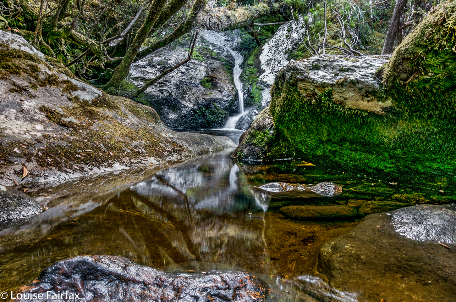
Waterfall aficionados, note: there were at least six falls on this creek that were worth photographing, some of which are shown here. Others were not photographed, as they would have involved my spoiling beautiful forest to get a good line, so I just admired them and left them alone. Others had too much clutter to be photogenic. This selection will suffice.
And thanks to Terry Reid for all the interesting historical material to read that is there in the hut to help while away some time waiting for the next meal.

Tahune Falls

Tahune Falls 2017

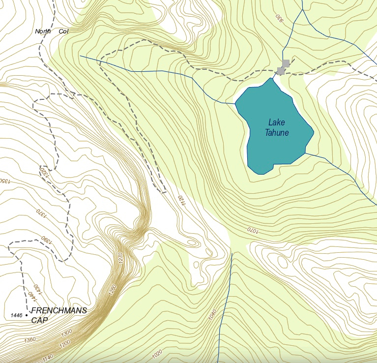
The Frenchmans Cap track (see below) is incorrectly marked on the List map, and, if you go by it, you would never see Tahune Falls. The track on the ground, however, crosses the creek which runs into Lake Tahune and runs to its left for a while, so if you stay on the track and don’t try to stay on the black dashed line on the map, and if you pay attention to sound and the hints of sight, you may find Tahune Falls on your way up to Frenchmans Cap. Given that most people find climbing Frenchmans to be a long task, I suggest you visit these falls on your way back.

I noticed them on my way up to climb a far flung peak called Clytemnestra (not on any tracks, and over the other side of those fearsome vertical cliffs the other side of the beret’d gent). My friend and I got back to our tents, and she wanted to retire to hers to sleep. I didn’t, so took myself back up the hill to these falls. I met another guy there, and we spent a delightful while together, just gazing at the flowing water and enjoying what the gentle falls had to offer before going back to the lake to cook dinner.

Philps Peak 2017 Mar


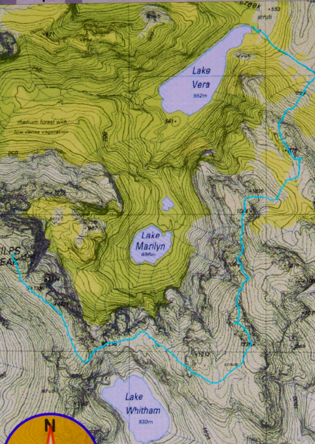
The story of Philps Peak begins as Day 4 of our Clytemnestra trip (http://www.natureloverswalks.com/clytemnestra/). On day 3, we had planned to climb to a beautiful spot near the summit of Agamemnon, but, most uncharacteristically for me, I had argued that the day was so stinking hot that it would take us hours to lug our packs up there, and that there would be no water for a day and a half if we went there, so we’d be better camping at the hut (Vera) and doing the climb as a day walk on the morrow. Angela agreed, but not with enthusiasm.


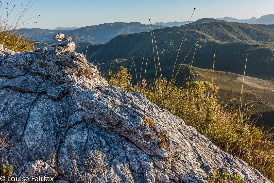
This little cairn marks the top of the first chute one climbs up on the way to the first hop, Agamemnon.
We chose a really beautiful camping spot – that is, the scenery was nothing particularly special, but the spot was secluded, set in forest with enough shade to cool but not enough to be dark. Birds and paddymelons visited us. It was just a very, very peaceful afternoon. Past ranger, Terry Reid, had donated a few bushwalking magazines to the hut, so I browsed through them, sitting in the forest on one of the many log-seats available, and organised my pack for the next day and chatted to the new people who later arrived at the hut and came past our idyll on their way to have a swim. I also had a lovely walk going back to the stream where I had noted that there was a waterfall that could perhaps be reached with a tiny bit of an offtrack detour. I was joined in this by new friend, Kent from Queensland, who also liked waterfalls and fungi.


We call these rocks The Four Ugly Sisters. They lack a name on the map. One heads to the left of them on the approach side.
On summit day, we set out nice and early to get in as much distance as possible before the real heat dominated the day. The light was superb, and we had about two hours where the air felt fresh and the light was clear before heat and glare took control. This means we got to the summit of Agamemnon – and even beyond, to where you first have to lose some height – in pleasant conditions.


Summit view. That’s Frenchmans Cap and Clytemnestra (far left) dominating the scene.
In between Agamemnon and Philps, in a saddle before you climb up onto the main ridge that leads to Philps, we found a truly nasty bit of scrub, where the forest was dense and unbendable and a pain to get through. At least the scoparia wasn’t scratchy (too tall for that), but it sure resisted our attempts to push out to the other side. This hiccup didn’t last too long, however, and we have both endured much worse than that, so it hardly marred the day irrevocably, even it did detract from perfection. There must be a nicer way through that stuff, but we didn’t find it in either direction. It occupied maybe thirty minutes of our time each way (guesstimate – I didn’t look at my watch; it felt like that amount of time, but maybe it was less).


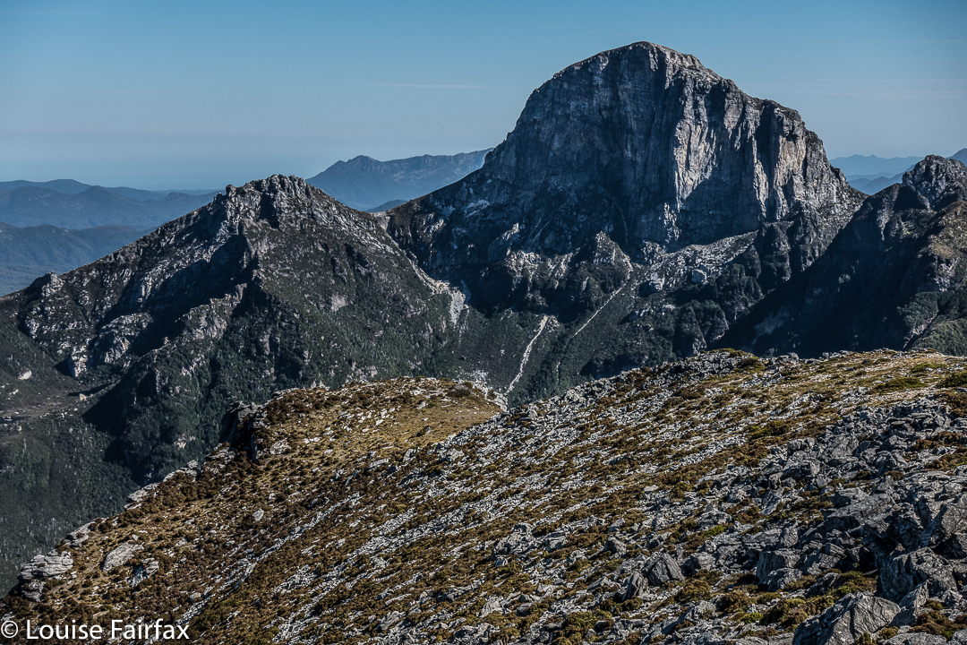
Frenchmans Cap in all its glory from Philps. What a grand hunk of rock.
Once we’d negotiated that obstacle, there were no more difficulties. We climbed up a chute to the high ground of the final ridge, and walked along its pleasantly open line to the final summit climb, which was not challenging. The sun was right in my eyes every time I looked up to try to see where the best line might be. That was perhaps the most difficult thing we encountered.


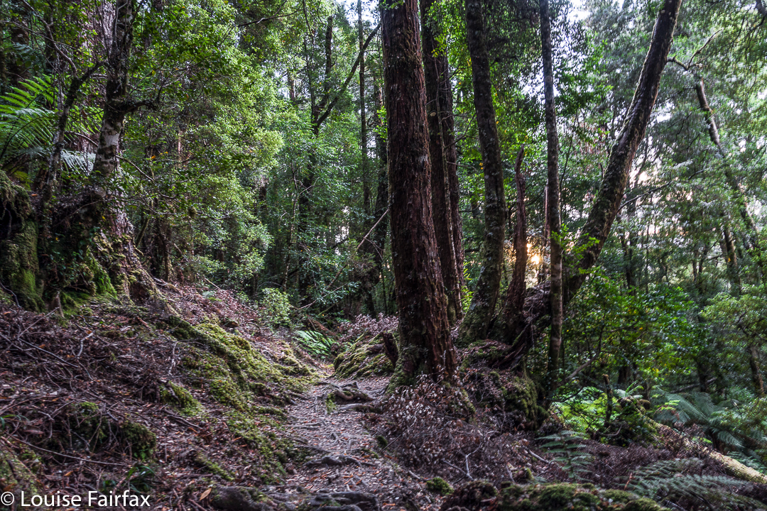
Forest next day on the way out.
On top, the view was amazing. I couldn’t believe how far visibility extended. There was Barn Bluff, days and days away, and Ossa, Pelion West and East, High Dome, Byron, Cuvier, Olympus. So many mountains normally not seen together, separated by many days walking if you are on foot. It was grand.
We tried for a better line through the junk on the way back (of course), but I think this one was even worse. I got so entrenched in scoparia limbs that I had to take my pack off and push it along the ground in front of me while I crawled under the unbendable tangle of wood. I thought for a tiny while that maybe I was going to spend the rest of my shortened life right here. No direction offered the possibility of movement.


Yes, a few courageous (or ignorant / mistaken) fungi are out already, having heard that it’s autumn and not being aware that summer has just arrived.
Apart from that insult, the way home was uneventful. I was looking forward to a swim (yes, this is Louise writing) and ridding myself of these stinking clothes full of forest debris that had fallen down my neck as I tried to push a path through the bosky barricade. In the end, of course, I wussed out. I sat beside the little beach in my undies, staring at the cool waters, but letting the gentle breeze that caressed my bare skin do the job of cooling me down in the dense shade of that spot. It felt like a swim, but didn’t have the inconvenience of wet gear.

Clytemnestra 2017 Mar


Beautiful morning on day 1 to begin our mission.
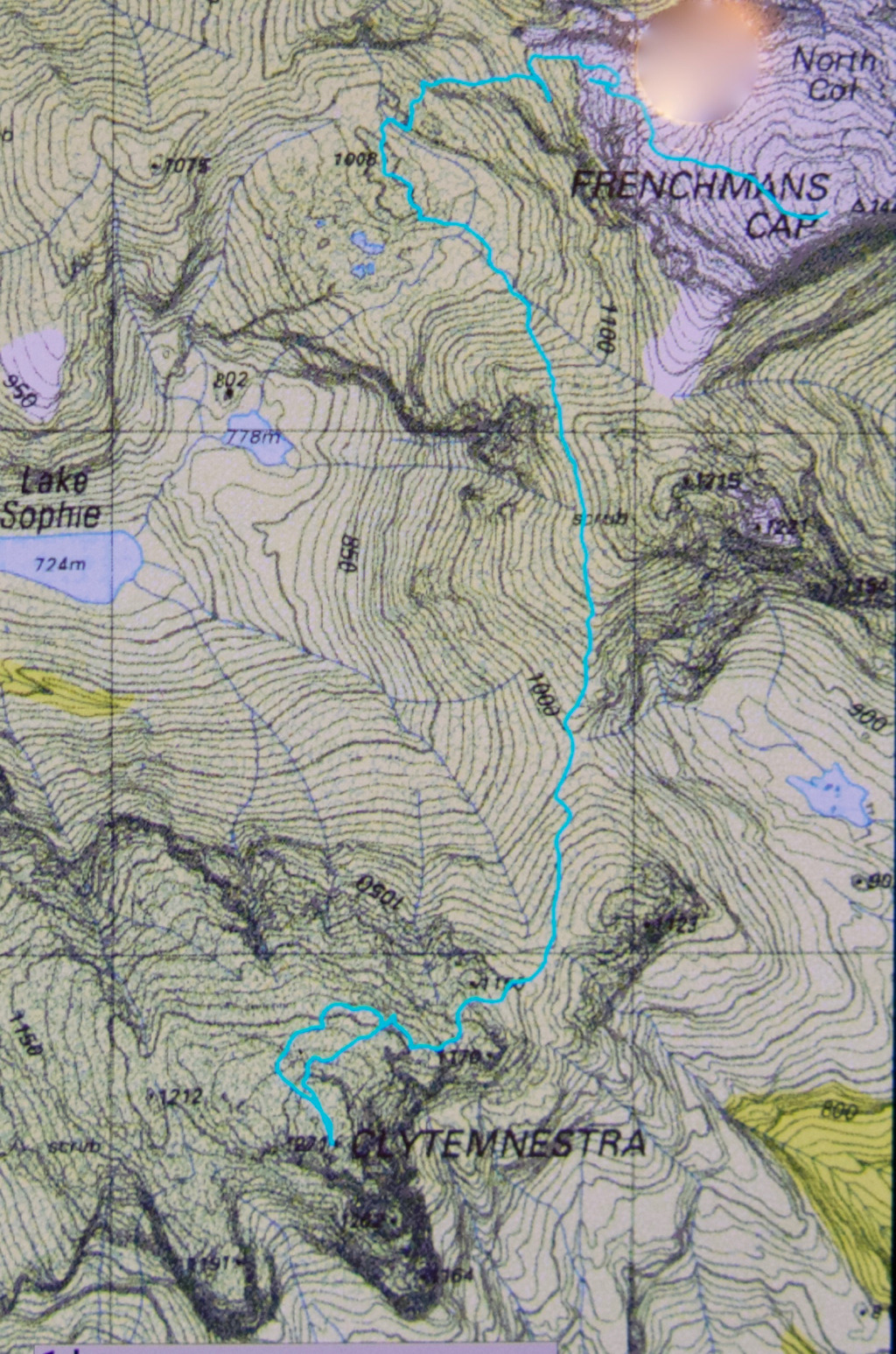
When I first heard that to climb Clytemnestra one needed to drop over the edge of Frenchmans Cap, I was filled with horror. Do you know the cliffs that shape the Frenchman, my reader? They seem formidable from any distance. However, the notion of climbing all the Abels had been planted in my brain by my former climbing partner, and had taken root there, and if I wanted to achieve that goal (still not sure, actually), then I needed to conquer any misapprehensions I felt with regard to dropping off the Frog’s hat.


Climbing Frenchmans
Off Angela and I set on the start of this little mission, past Vera Hut too early for lunch, which we had upstream. In case you’re also there in a dry time of year, I’ll tell you that the last water after leaving Vera is about 45 mins up the track, where it crosses the creek for the final time. We arrived at Tahune Hut  mid-afternoon in plenty of time to choose a scenic spot for out tents, to organise our gear, and to go swimming (Angela) or to chat with others (Louise). I must have sweated a lot, as I needed a copious and salty afternoon tea, staring out at mountains reflected in the amber waters of the lake.


Our plan for day 2 of our venture was to set out at 7 a.m., but at 6 the continuing sound of heavier-than-we-liked rain had us push back the time to 8, … and then to cancel the idea of climbing altogether. However, at 10 it looked as though it might be clearing, so we decided to give it a go. Maybe this was a recce, maybe this was a climb. Time would tell. At least it was some exercise for the day.


Getting near our goal by this stage
We were on top by 11, enshrouded in thick mist, but decided to continue this recce business a bit further, and to try, at the very least, to find where we’d drop off the cliffs on the morrow, perhaps saving ourselves time then. We attempted two chutes that ended abruptly in dead ends (excuse the pun), but on the third attempt, managed to negotiate our way down the slippery rock with success, which meant we reached a knoll near the two tarns at the mountain’s base, 1 hr 10 mins after leaving the summit. I was still in recce mode. Angela didn’t comment. On we pushed, now proceeding up the lightly bushed ridge that connected with the main Frenchman-Clytemnestra one, and then contouring around its belly to avoid unnecessary climb. When we rounded that bulge the mist cleared enough to give us a brief glimpse of our grail – way, way closer than I believed possible. Angela was now excited and announced that this was no longer a recce. We were climbing this thing and now. I would continue forward, but reserved judgement on the certainty of success.


The cliffs of Frenchmans, teasing us while we had lunch on Clytemnestra
Into the final saddle, with only some cliffs between us and the summit cairn, I still refused to believe. Up, right, up, right, we climbed, walked, climbed, walked, until, truly amazing: there, fifty metres in front of me was the summit cairn. Only then did I allow myself to believe we were really going to do it. Ceremoniously we approached and touched together.


The route back to Frenchmans. We thought the mist was clearing!
We had lunch on top, watching the mist swirling around us, every now and then allowing a teasing half-glimpse of the silhouette of Frenchmans. At this moment, when I decided to consult my phone which had been tracking our route, I discovered that the battery was basically dead and I couldn’t even see the screen. Our homeward route was thus concealed, but, no worries, we have memories. Off we set.


We have to go over Frenchmans (back) before we drop down to our tents.
There were no mishaps until it came time to choose which chute we needed to use to climb back up onto the main massif. At that time, the mist was particularly thick: visibility was zilch, and it felt like hours later than it actually was, with so little light penetrating the thick clouds. I did not like this at all. It felt like these conditions were set in for the remainder of the day, and we would never be offered a glimpse of a possible route. We were in a nasty cliff maze with no perceptible way out.


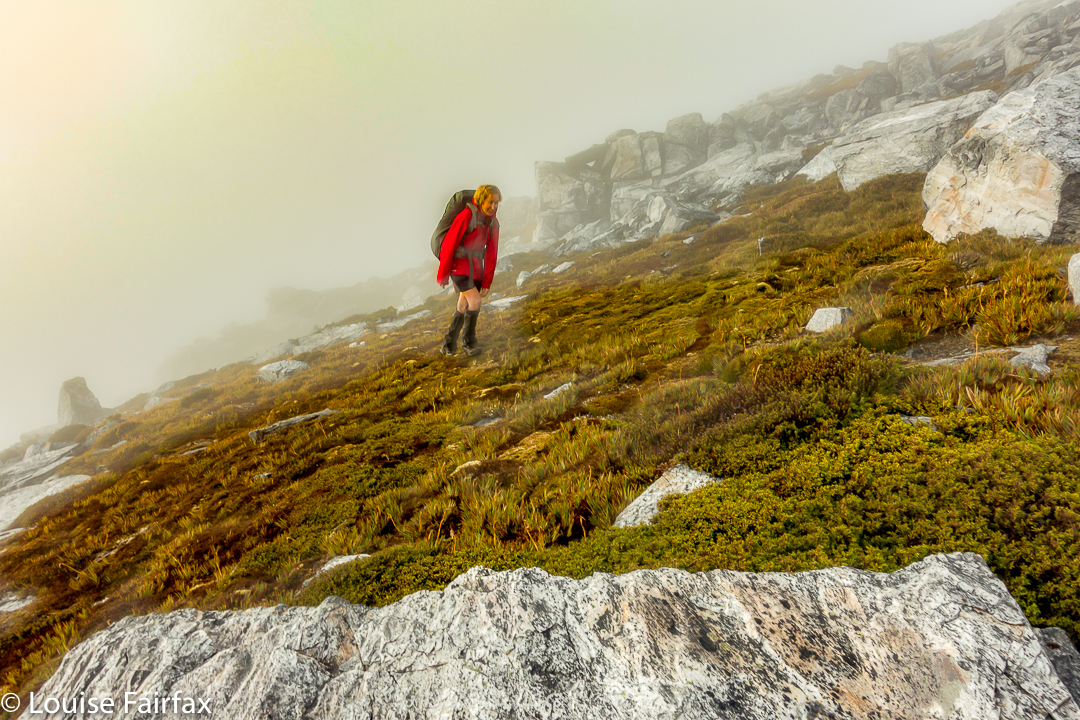
Eerie light as the sun tries to break through (before giving up again).
Luckily, before we left home, I had emailed Hobart Walking Club and received a gpx route, which I had transferred to my phone, and forwarded to Angela, who had also downloaded it. Now was the moment to consult this route on the phone that still worked. We could see the other club-member’s track, and our position relative to it, and note that we needed to contour a bit to the east before we would intercept it, and then follow it due north for about 150 ms, when, with luck, an attractive chute should reveal itself. It did. The feeling of relief as we emerged on top, and I knew that we just had to keep climbing – no more chutes, no more difficulties – was enormous. As we climbed higher, safe and sound, mission successful, a kind of golden circle where the sun should be coloured the mist and lent the landscape a temporarily yellowed hew. Everlasting daisies, in funny, closed cups, shone silver in the tinted light.