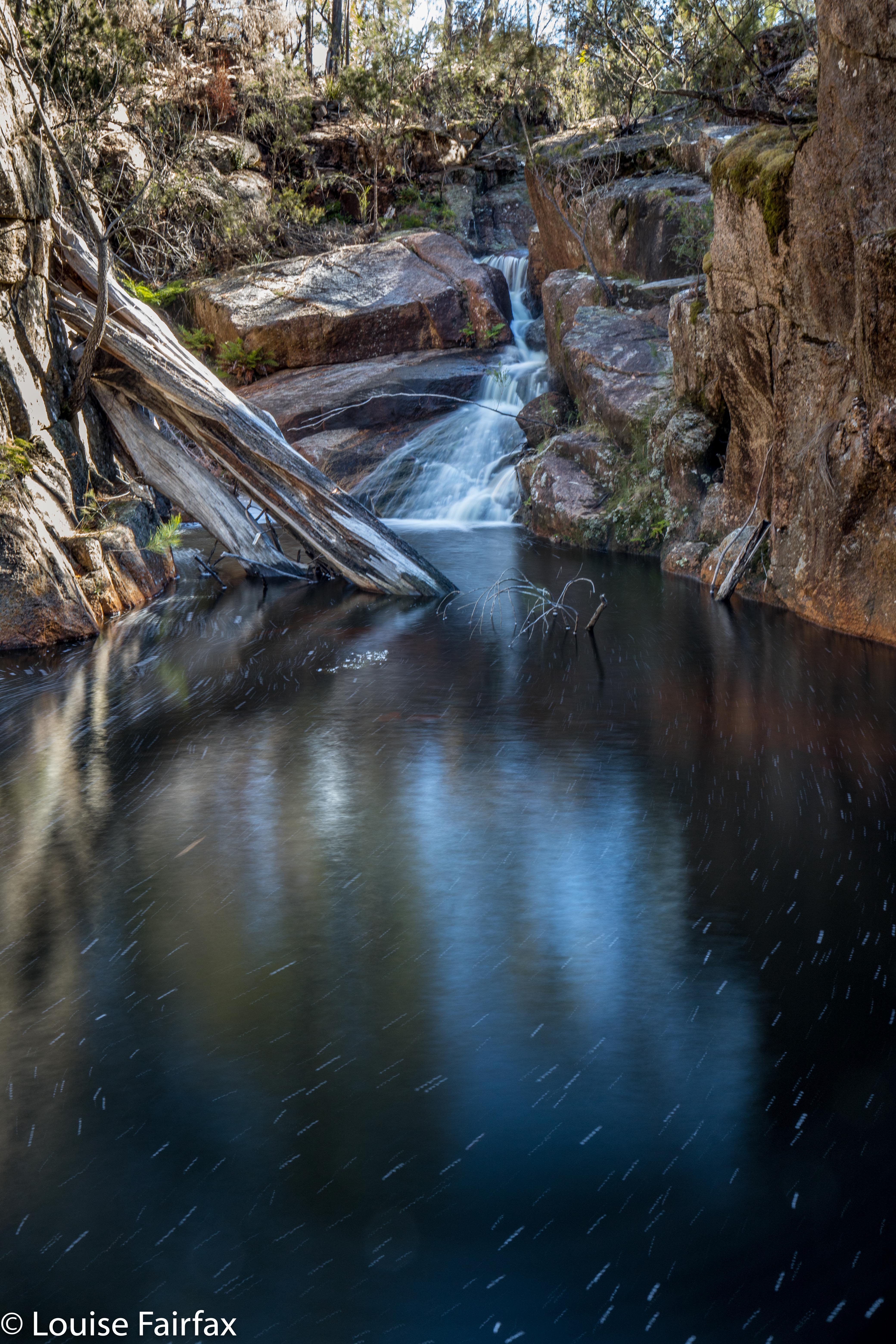
Granite Falls (Not) 2018 Jul

Granite Falls (Not) 2018 July.
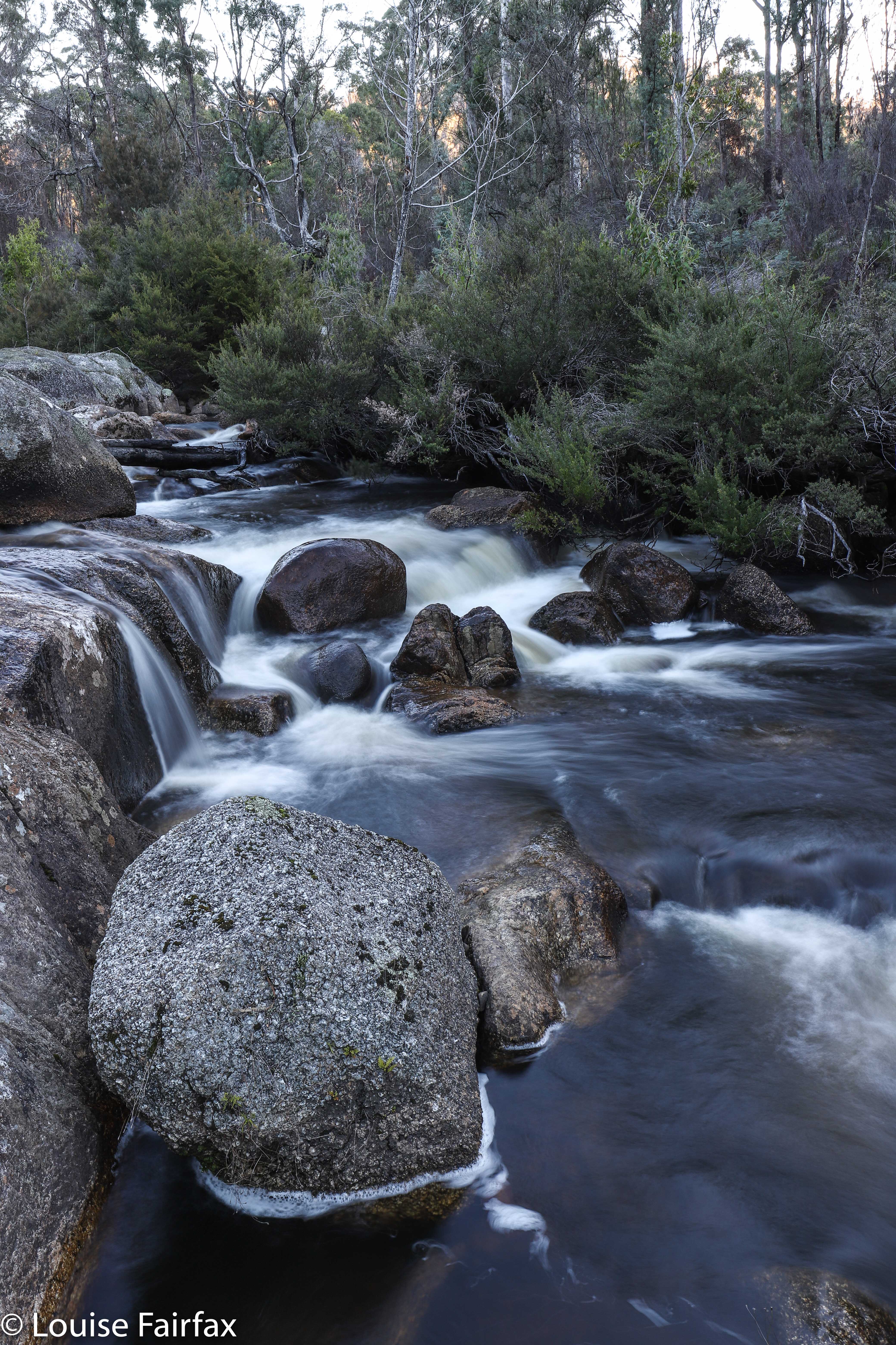
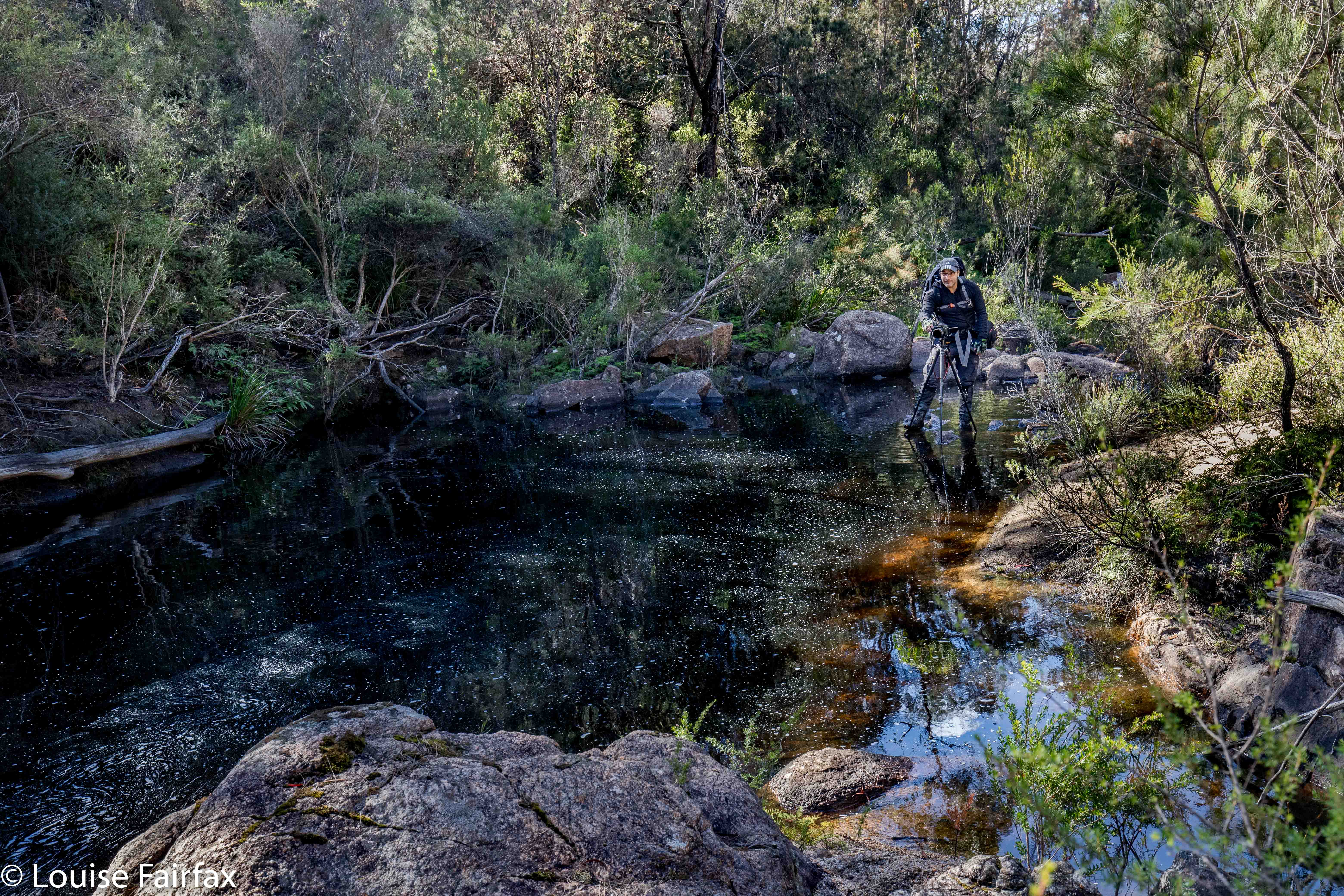
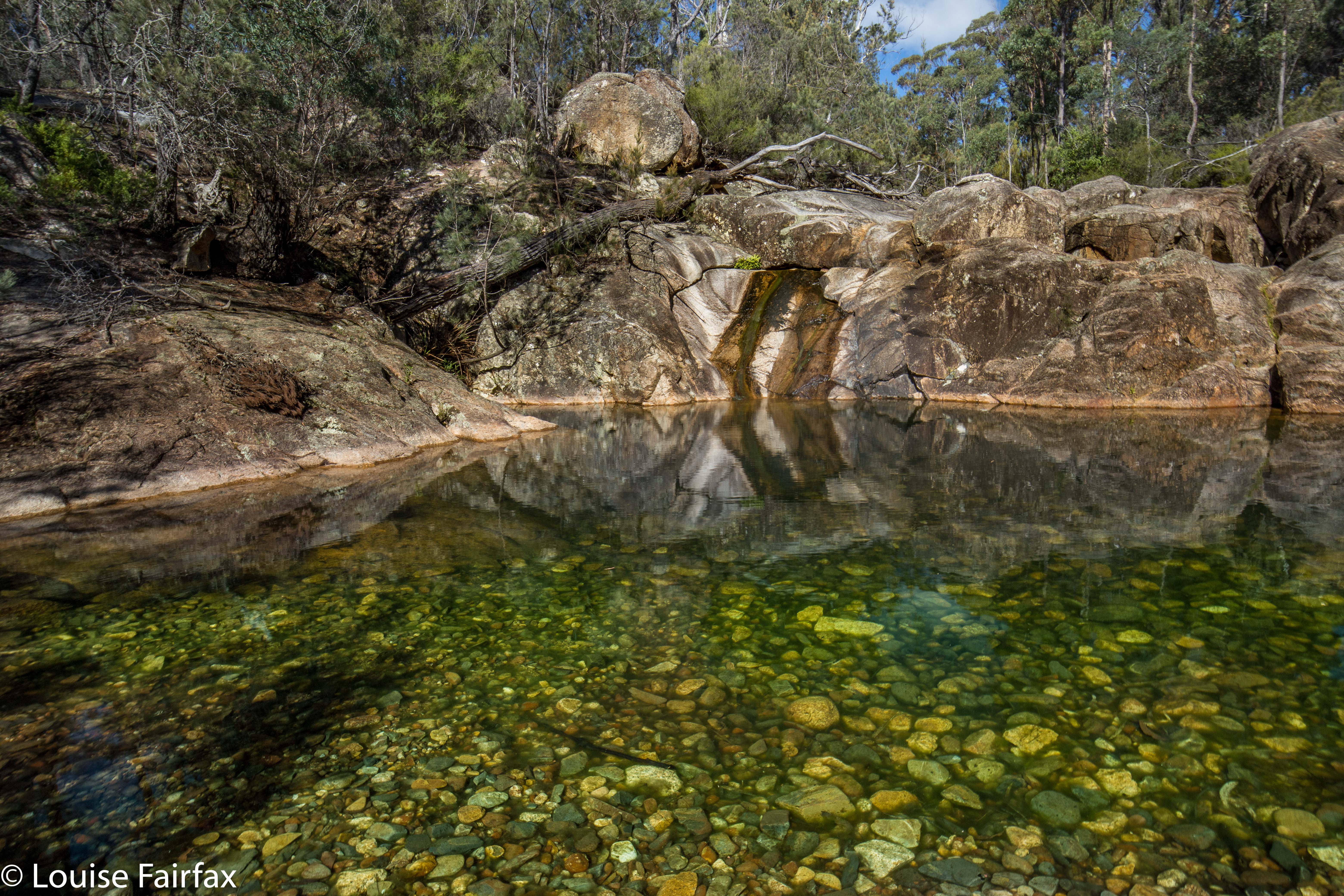
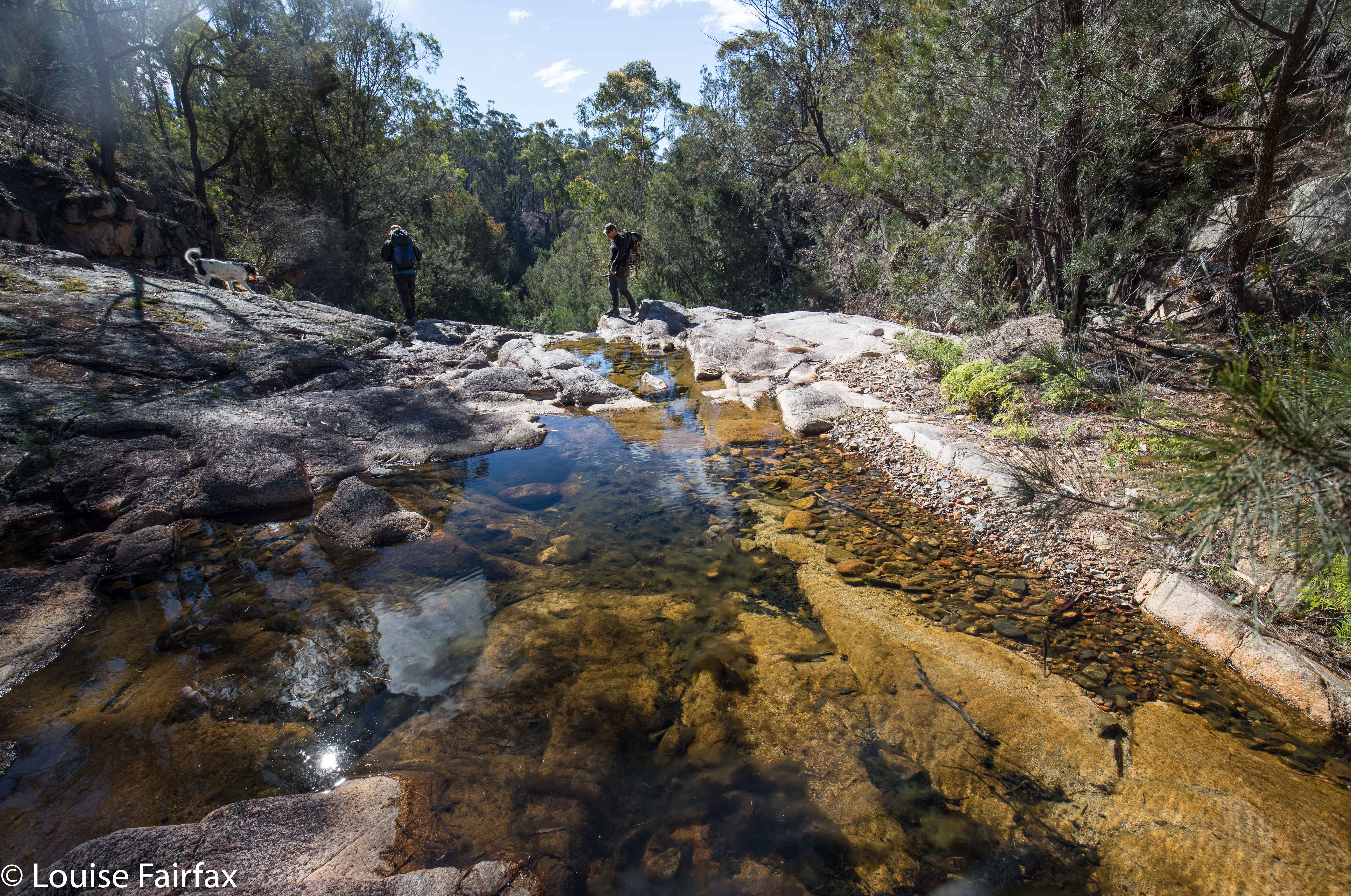
“The mystery of the missing falls” could be a subtitle for this expedition. Feeling high in spirits as the Scamander River beside us was so very beautiful, we parked the car at a bridge over it, and set out along its northern bank in quest of our goal, through wonderfully open granite terrain, complete with moss-covered tors and burgeoning ferns. Although Tessa had covered about thirty kilometres in the morning (we’d done ten), she was out in front, pleased that her human companions were off to find more treasure.
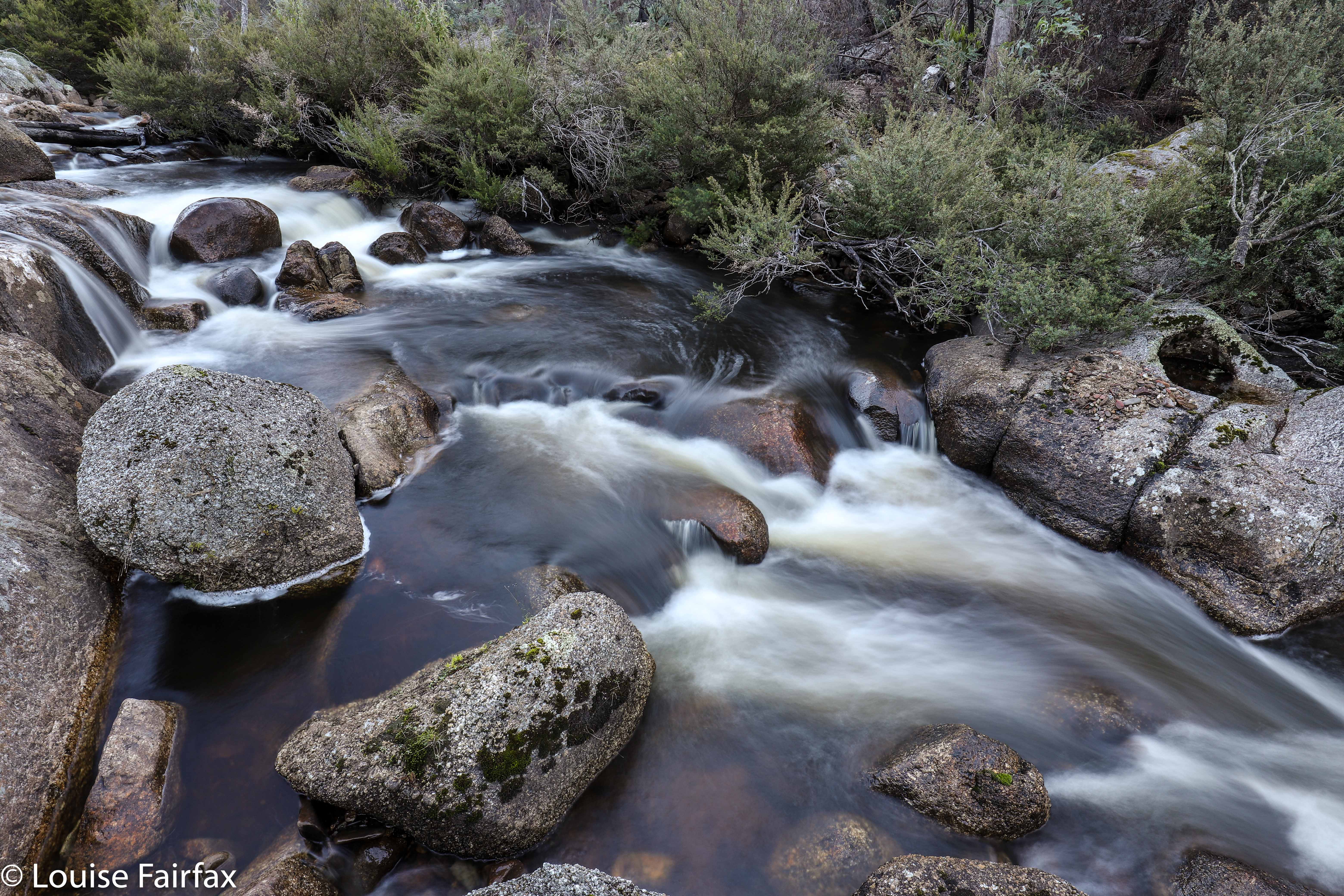
The first half of our outward journey was particularly beautiful, although the further we went, the more regrowth appeared, but it was still pretty easy going. We stuck quite near the river so we could see the falls as soon as they appeared. But they just never did. On we went, past where they were supposed to be and beyond where they could possibly be, given the lie of the land – after which, we turned around and went higher on the rebound to a place where the going was easier than it had become. Nonetheless, we had views right down the river, and there was no sign of a waterfall anywhere , and certainly not where the map said it should be. The falls were not in the vicinity. Craig has since done research that suggests they are on nearby Beahrs Creek, accessed from Hogans Road. Looks like I’ll have to have another trip to the East Coast. Did the Coffee Shop fund this mapping error?
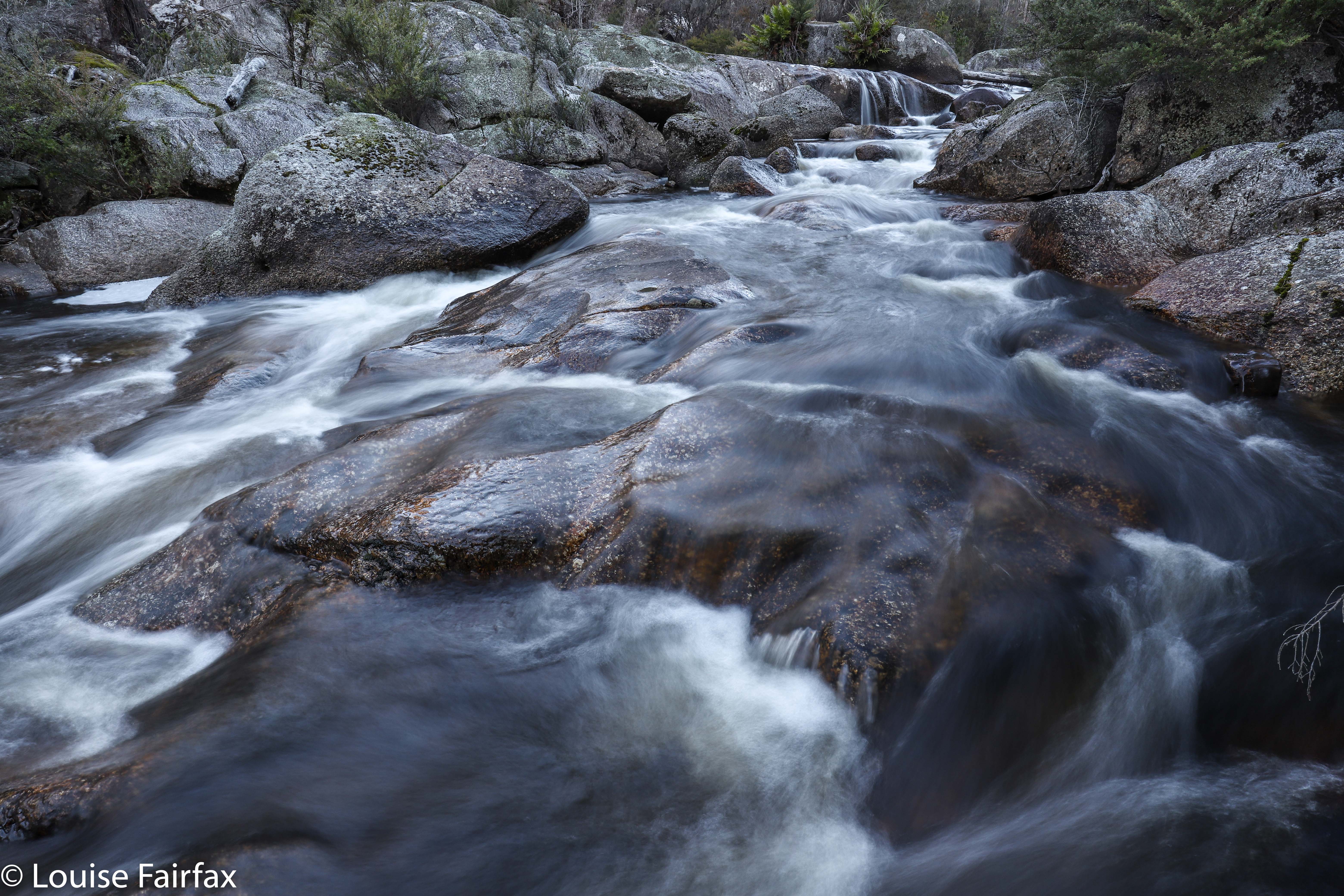

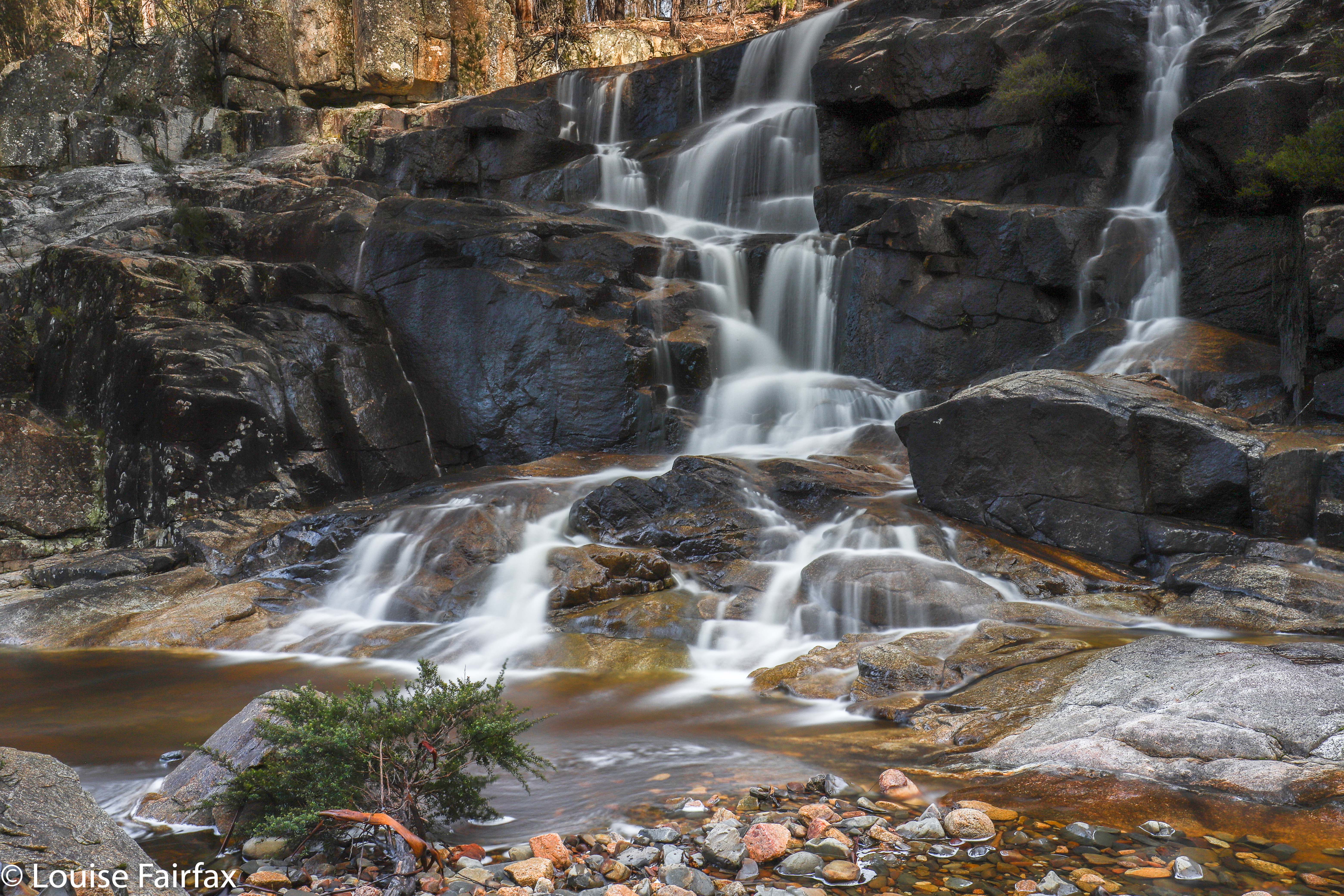
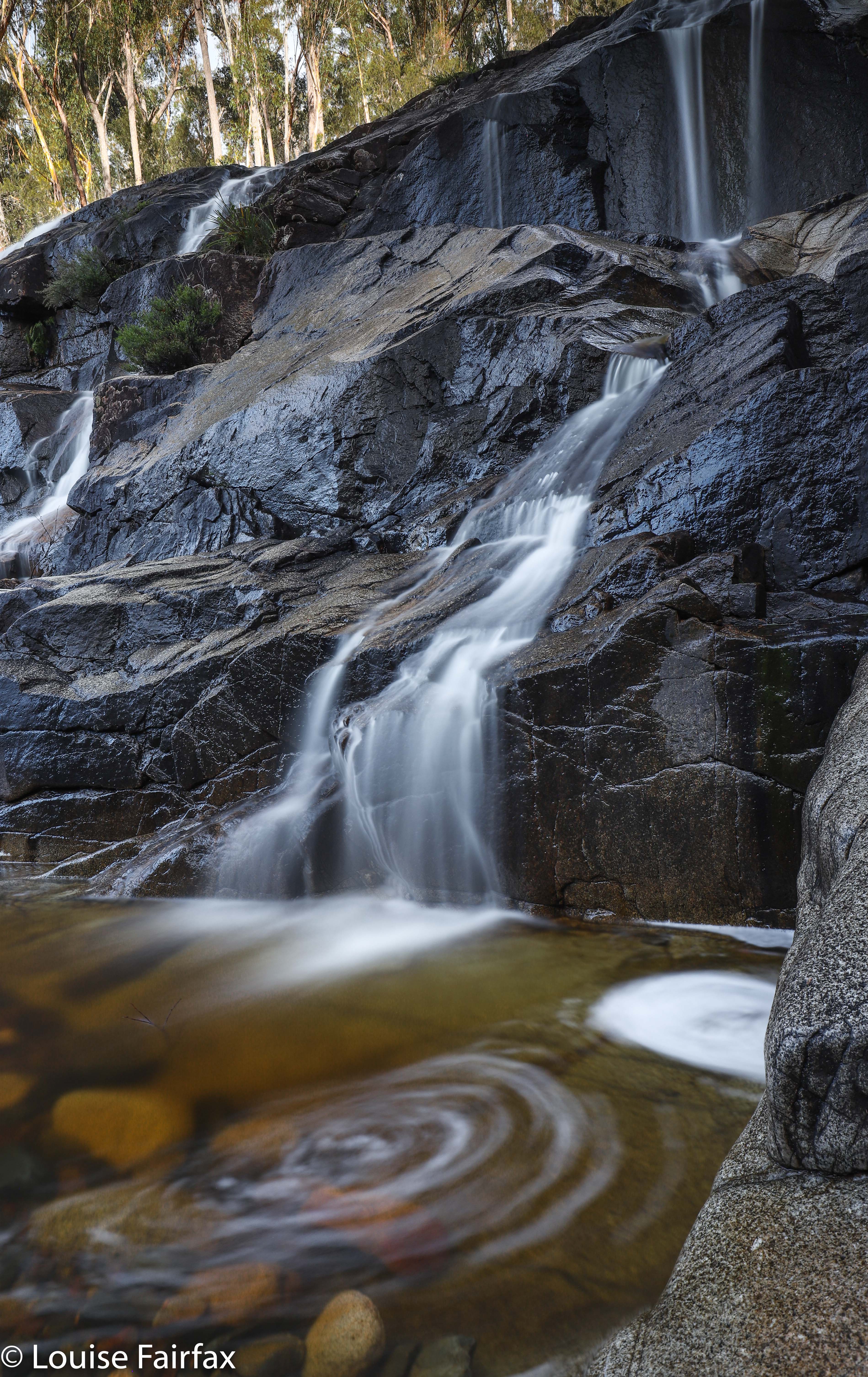
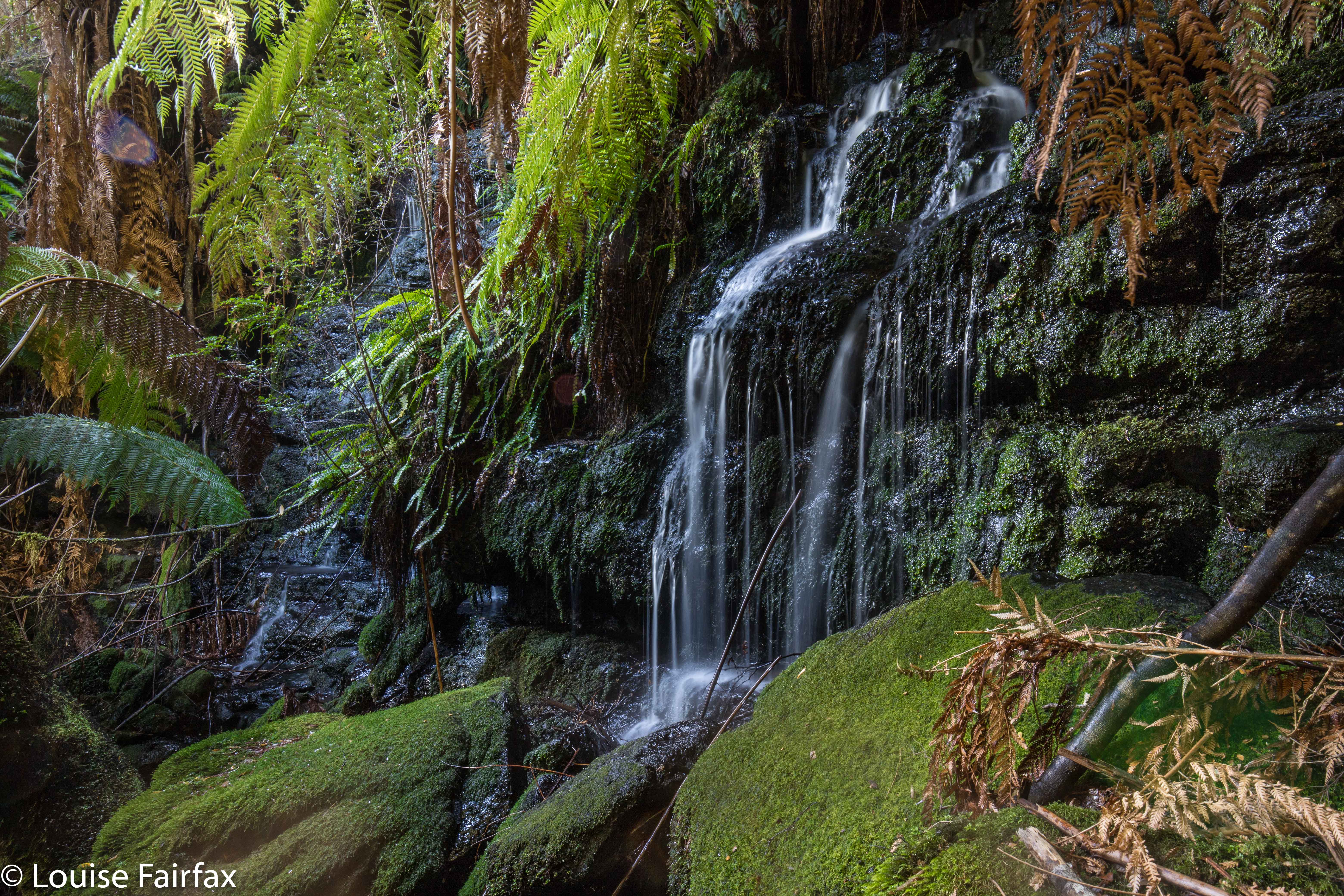
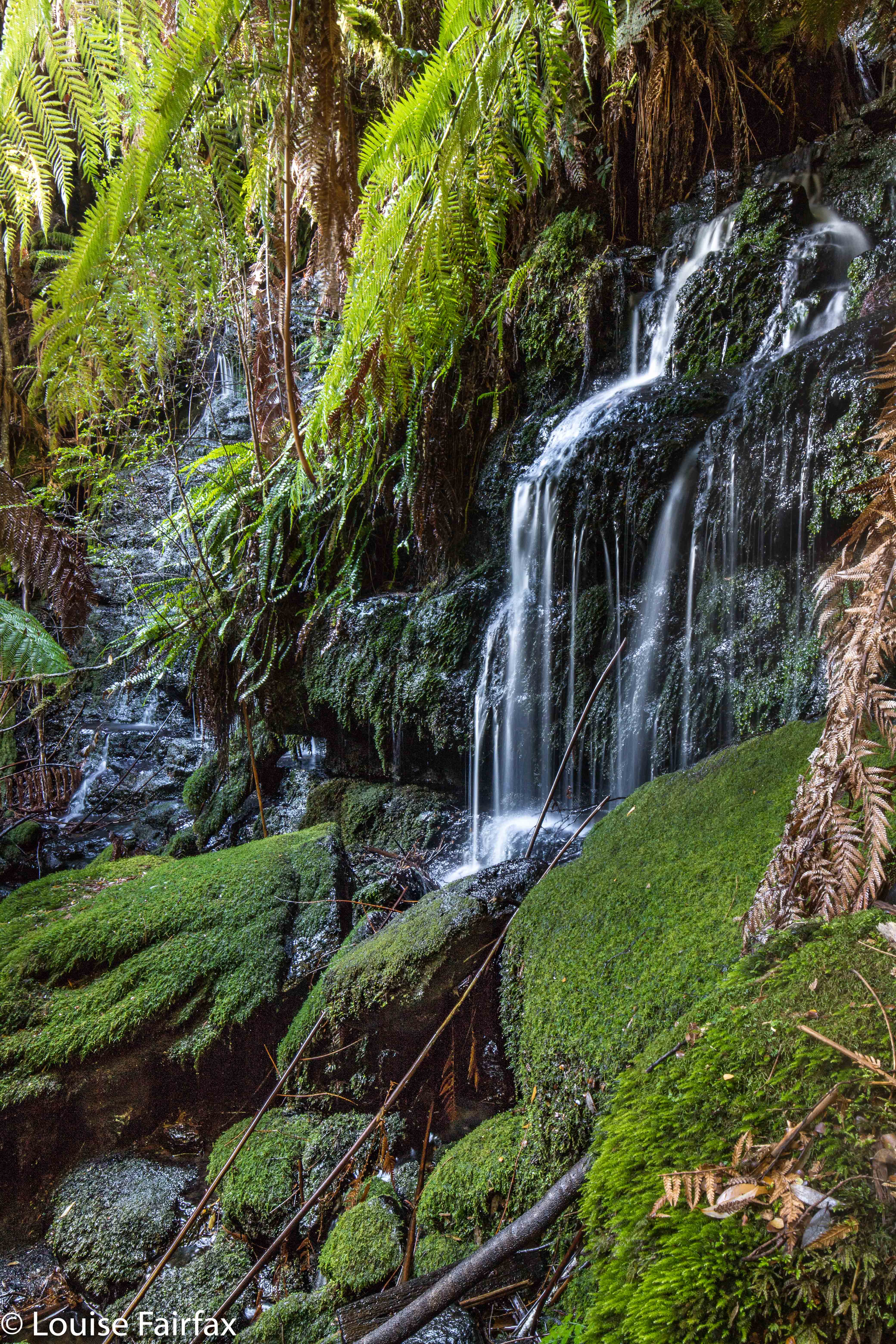
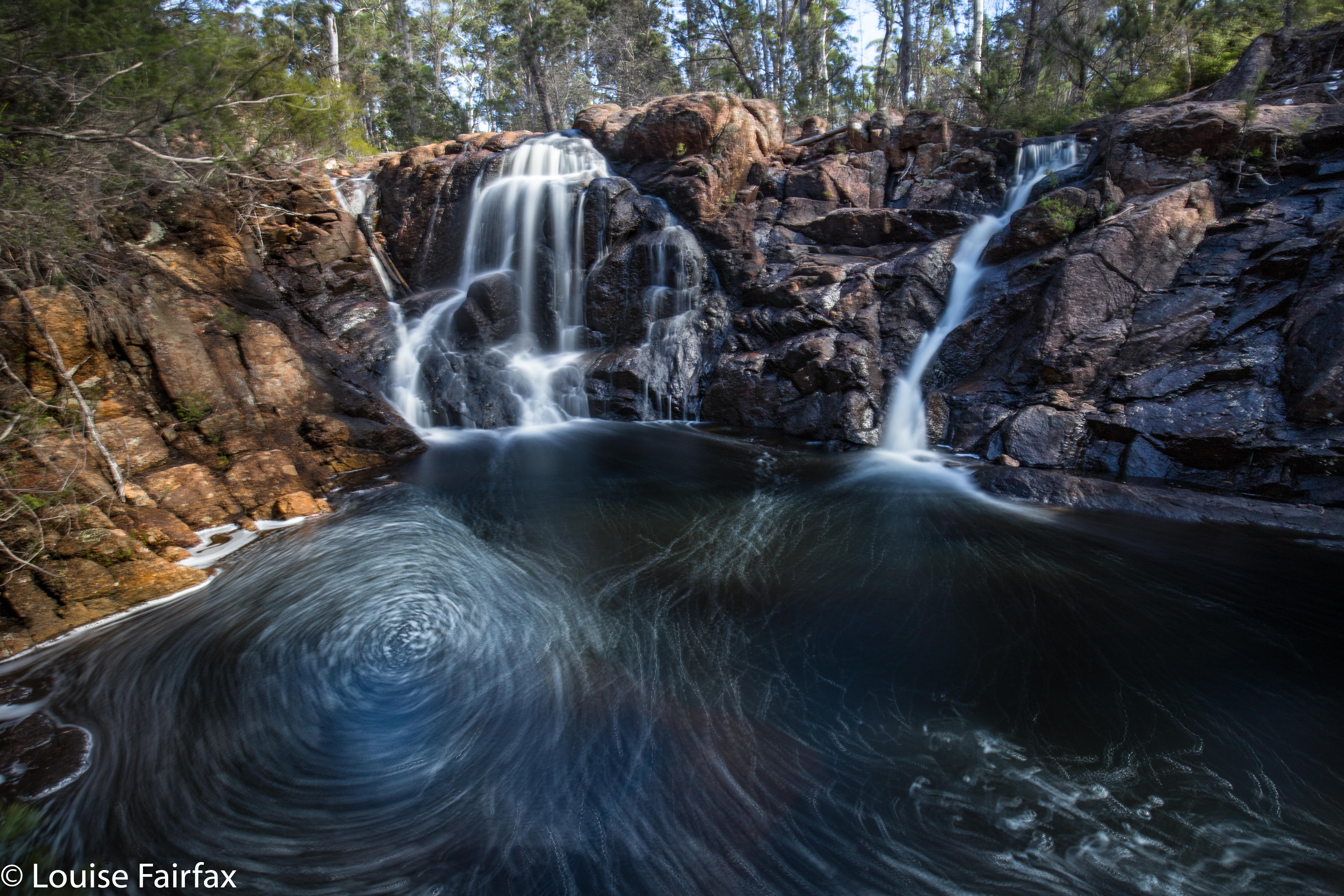
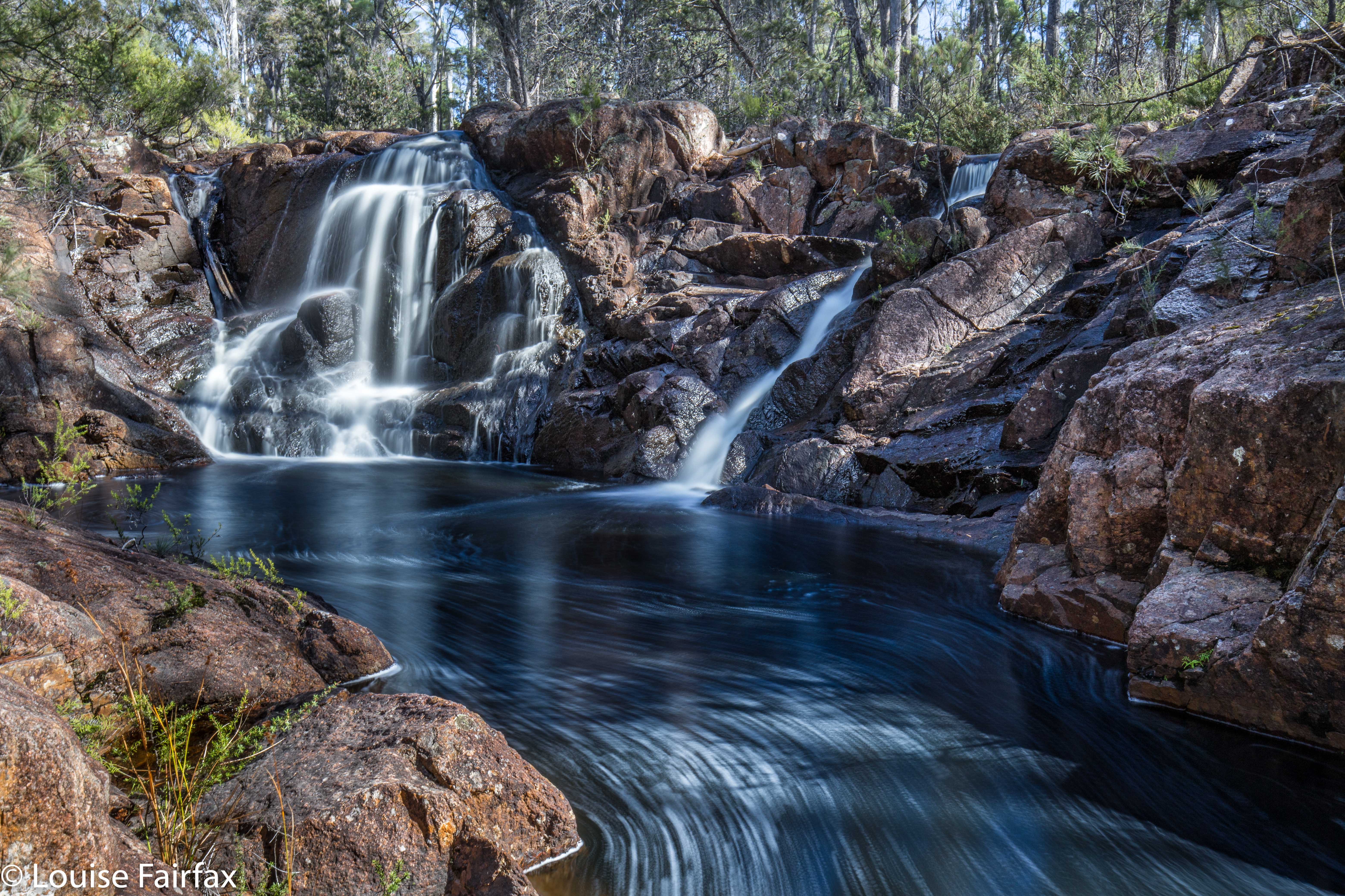
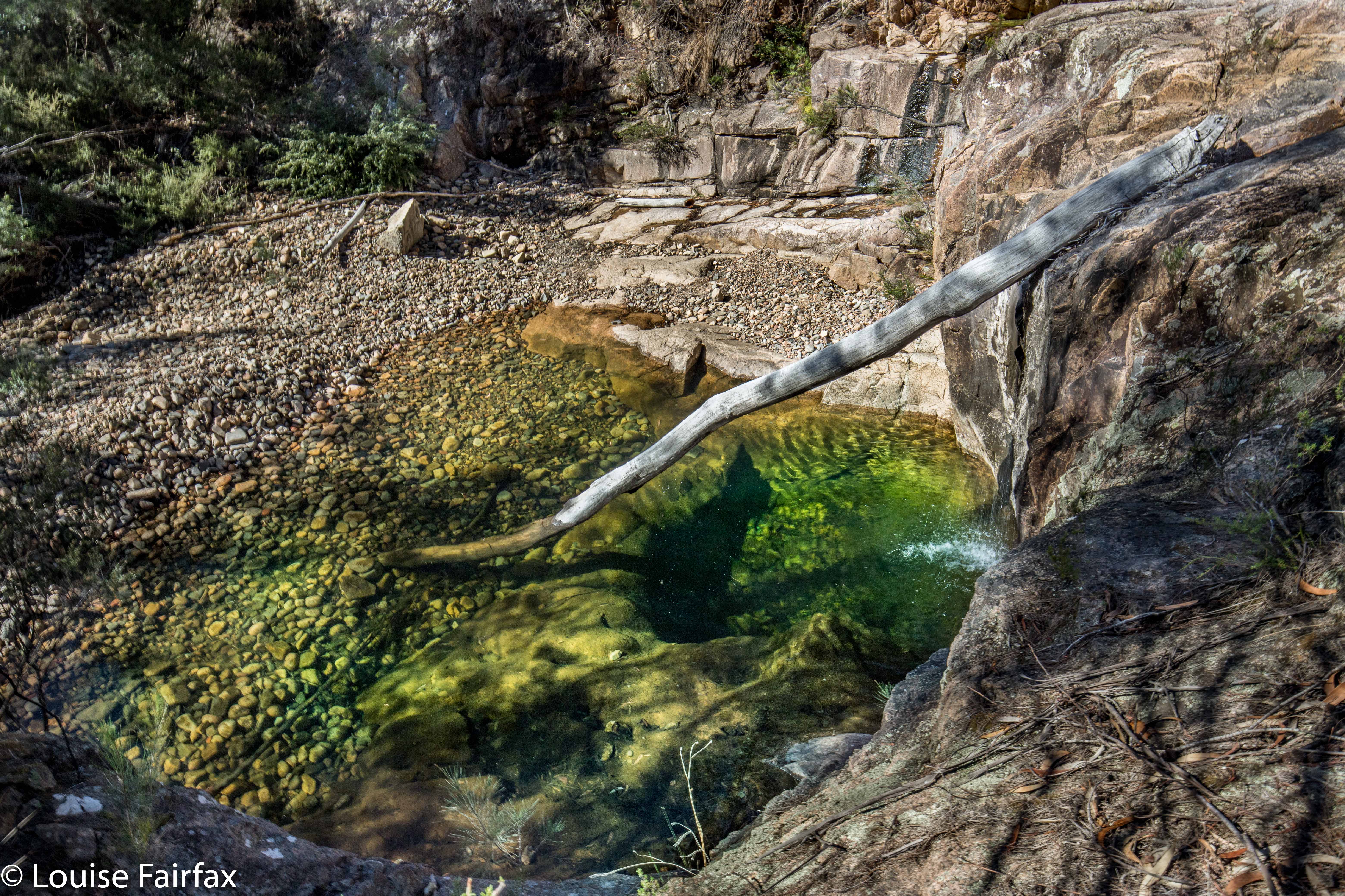
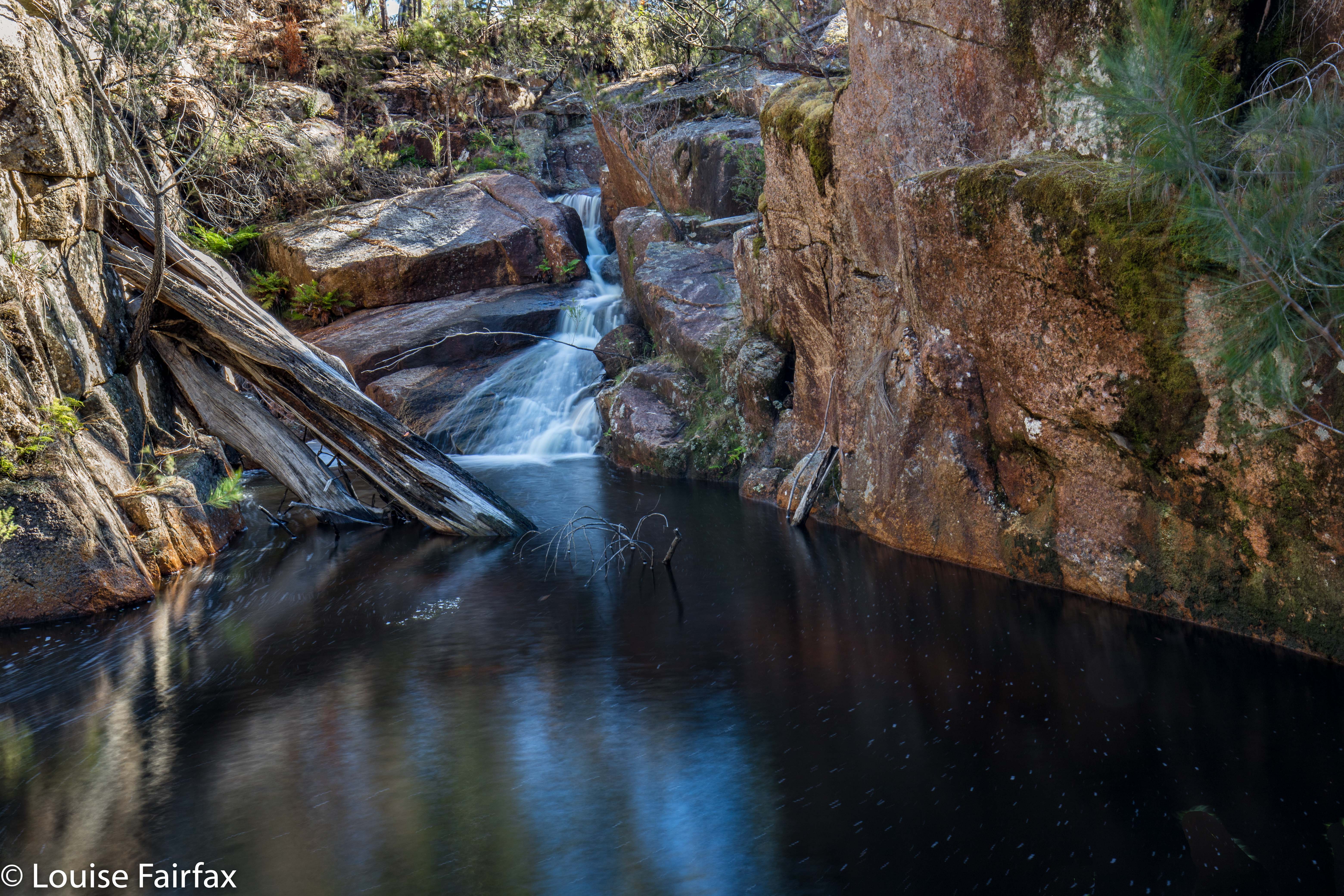
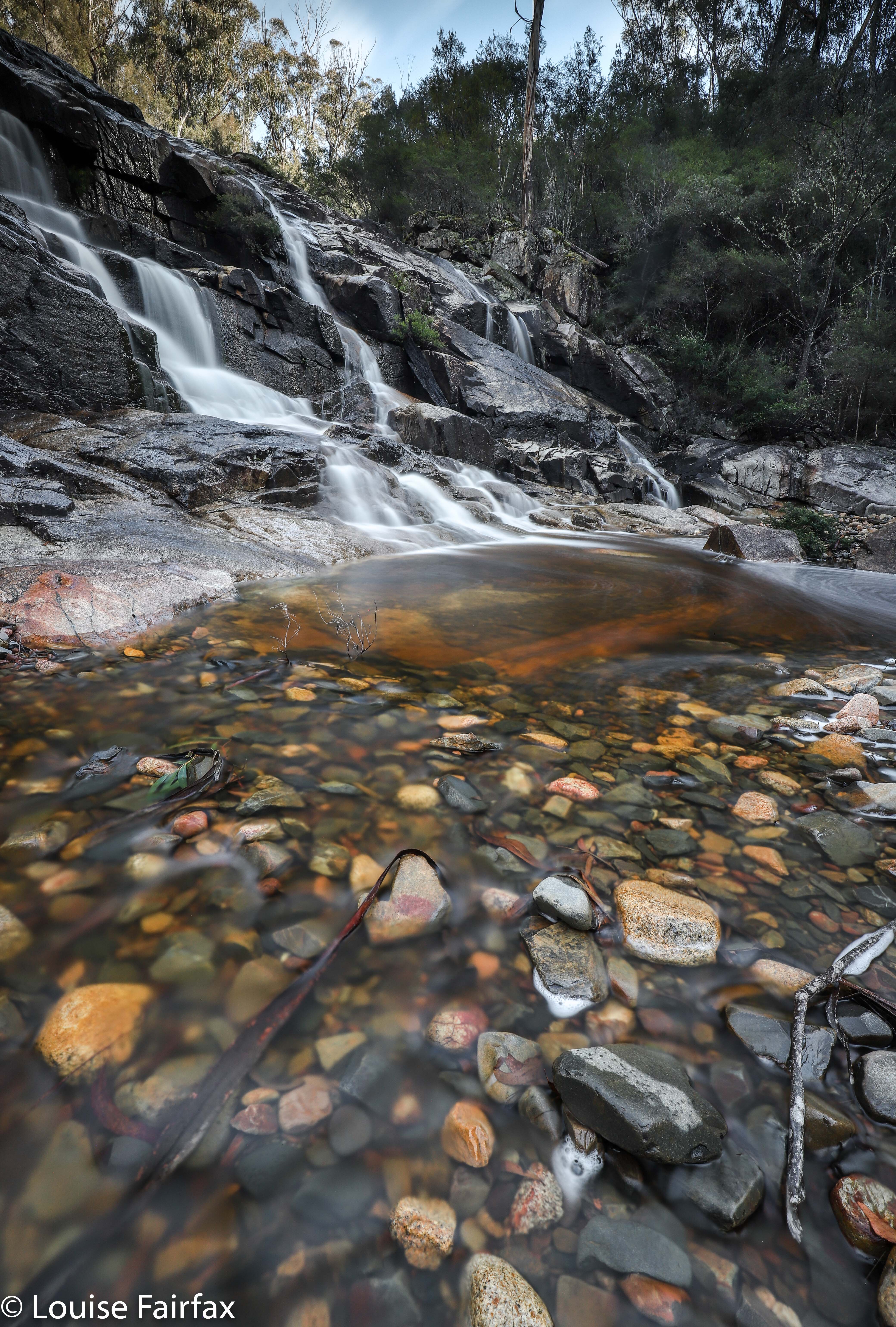
Having a twitchy shutter finger, and enjoying the beauty of the Scamander River with or without a proper waterfall, I insisted on stopping at the highest thing that could approximate a fall if you were an insect – with water dropping thirty centimetres or so – and photographed the pretty patterns the water made flowing over the rocks there. These gurgles didn’t even qualify as cascades, let alone a waterfall, but I am a photographer of, and responder to, beauty first, and a waterfall bagger second, so I enjoyed myself anyway.
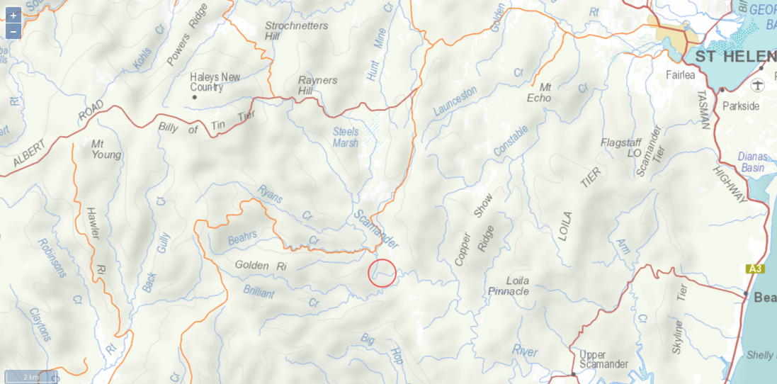

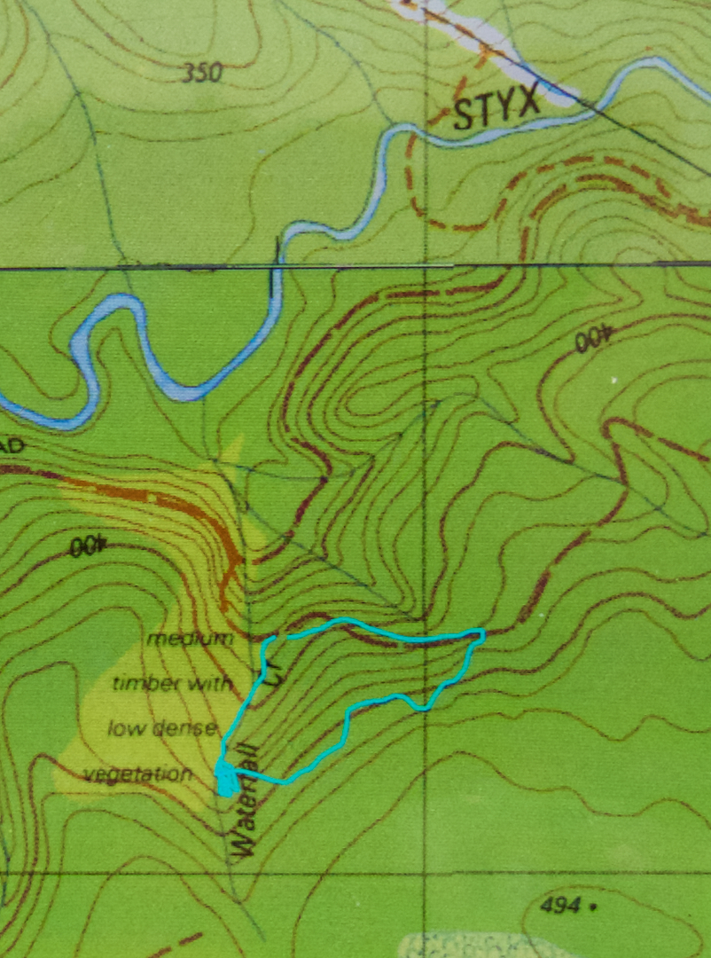
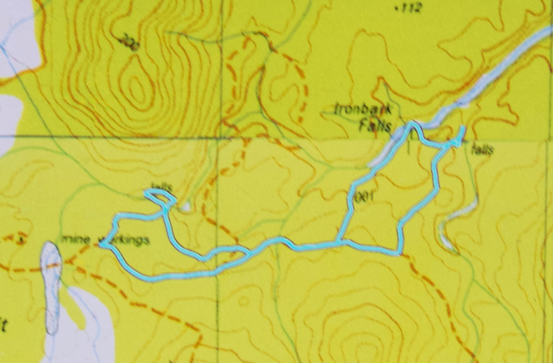
Context map to the supposed location, and to where we went.
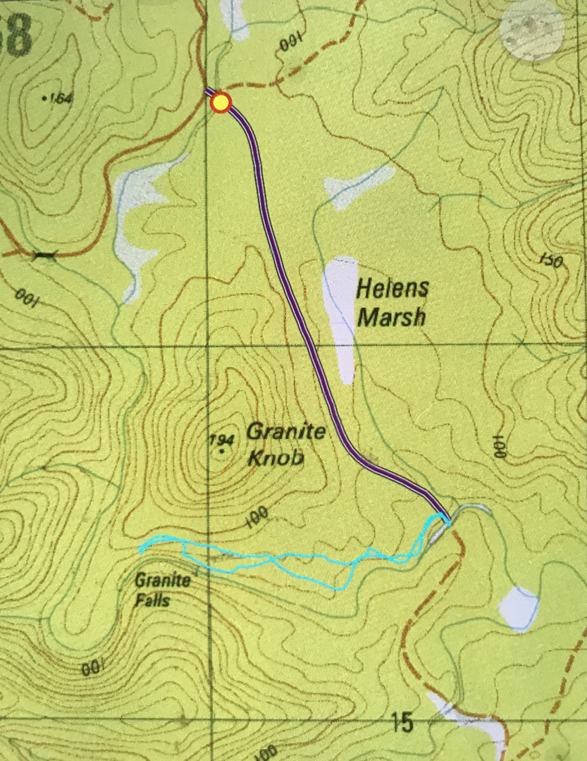

Here you can see where they’re supposed to be, right under (south of) Granite Knob. Looks like they’re a few kms away. (The purple line is the road we drove on; the cyan one is our walking route).
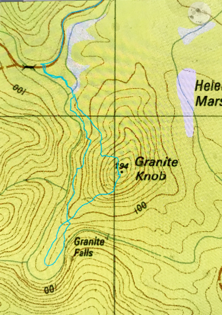

And on Wednesday I went back to explore as below, as well as investigating the length of Beahrs Creek. To no avail. It has now been established that Granite Falls do not exist. 20 or 30 cms do not constitute a waterfall. RIP Granite Falls.

Echo Falls 2018 Jul

Echo Falls 2018 Jul


The weather forecast was for a beautiful sunny day in the east, less endearing elsewhere. Tessa needed a gambol. I decided these factors meant that I should go to the waterfall under Mt Echo, and also to Granite Falls kind of nearby. It has been annoying me for months that I got three of the four waterfalls on or near Constable Creek, but missed these ones under Mt Echo, so now was the time to fix up this hole in my collection of falls. I invited Craig, who said he’d like to come: he had had Granite Falls on his radar for  while, and was willing to humour me on the matter of also taking in “Mt Echo falls”, even though for some reason better known to himself (but not shared by me) he was not expecting anything at all of these falls. Tessie was, of course, right in there with enthusiasm. We were off.

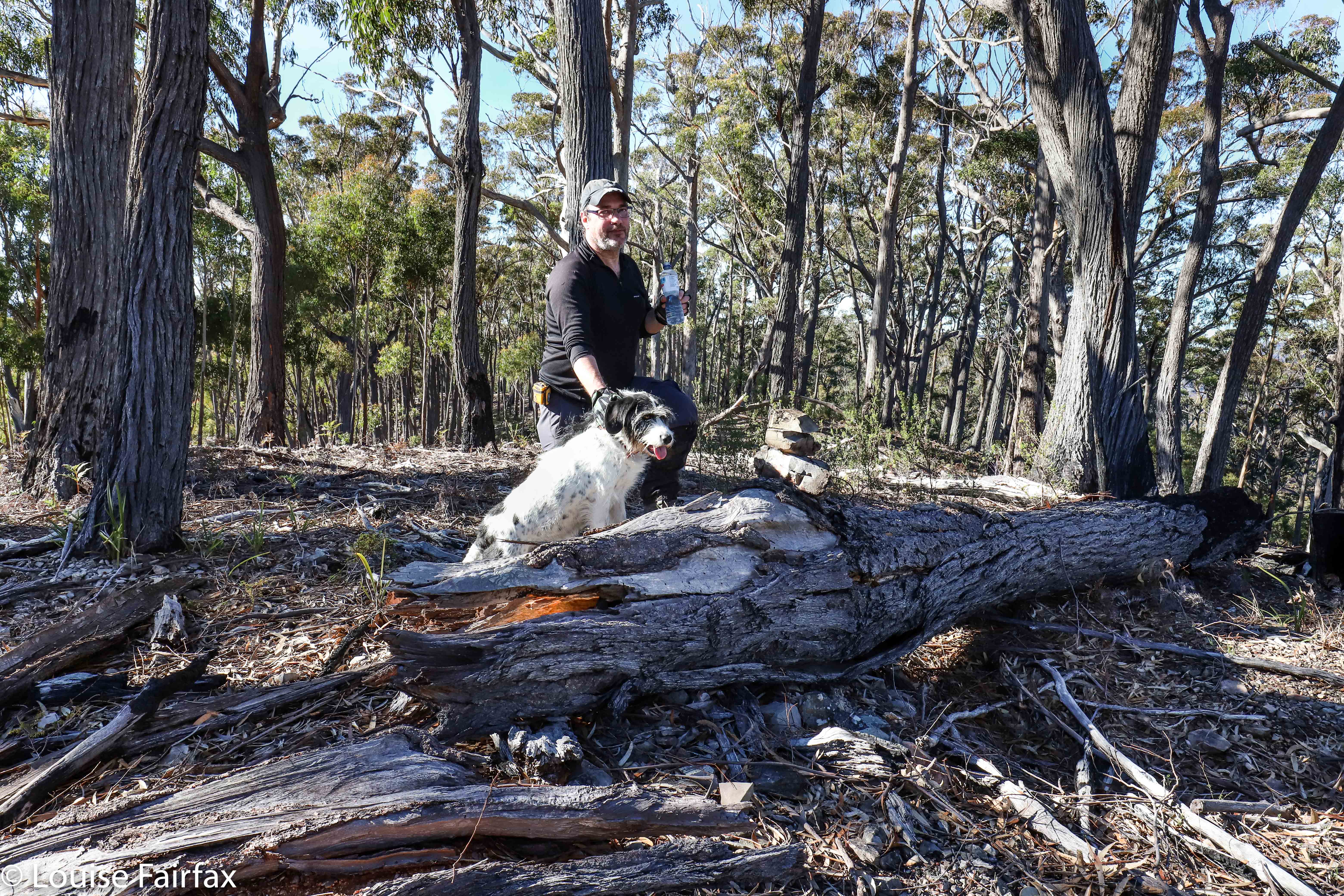
Having a break on Mt Echo. You can see Tessa and I built a summit cairn.
I wanted a nice little workout, so parked in a position that meant we would attack the falls via the summit of Mt Echo, thus getting in two bags for our buck. The bush was open, fast and beautiful, with occasional glimpses out to the East of shining waters. However, Craig was not feeling very well, so at the top, said he’d wait there while I descended and photographed the falls. I said he’d be disappointed, and that we could return to the car via a less demanding route, and kind of shoved him onwards. He would have indeed been disappointed. He enjoyed these falls greatly – so much so he took over the naming, and changed them – with my consent – from my “Mt Echo Falls” to just “Echo Falls”. His name is less cumbersome, so I agreed. And we were certainly in agreement that the walk we did was a perfect little day hike, especially if one combined it with Ferntree Falls or with one of the other three falls attached to Constable Ck – or with Granite Falls, for that matter.

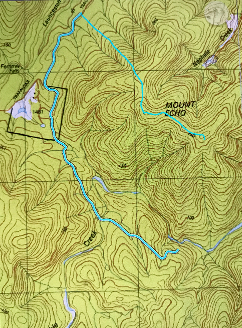
So, to describe in words what the map below tells you (sorry for the missing bit: my phone turned itself off): We just followed our noses to the summit of Mt Echo, being careful to choose the correct ride in the descent. The ridge down to the falls was shapely and interesting; the falls themselves were really attractive, and it was fun navigating around nearer to creek level for a physically easier route back to the car. The whole thing, including many, many long-exposure photographs, and several swims for Tess in a variety of pools, took around three hours. We felt very satisfied munching on our lunches in the forest near the car, and looking forward to our falls for the afternoon, Granite Falls.


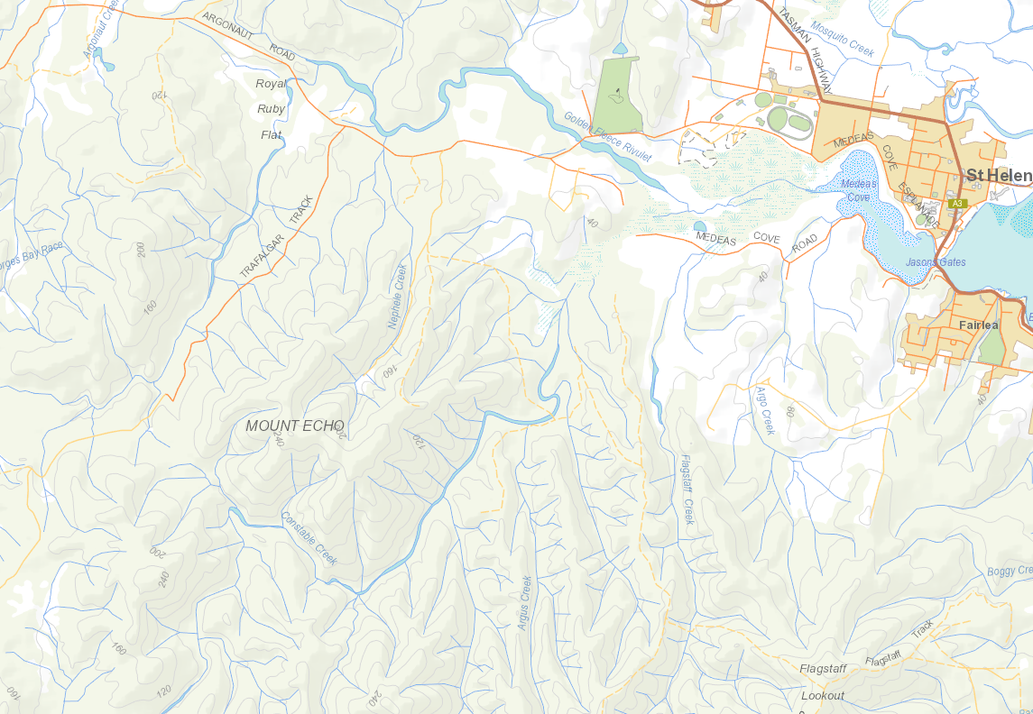
As you can see from this context map, one reaches these falls by heading out of St Helens on the Argonaut Rd, and turning off it onto Trafalgar Rd. For the particulars of our route over Mt Echo, see the gps route below. This walk was so easy with respect to scrub bashing, that I highly recommend it for clubs.


Sorry about the discontinuity in the cyan line of our route. I must have bumped my phone off at the summit of Mt Echo, and didn’t realise until I was leaving the falls at the base. I didn’t need a gps once I was on the right ridge, and I think our path from summit to falls is very obvious if you can read maps, and if you can’t, then please don’t venture into untracked wilderness like this. It is beautiful indeed, but probably frightening if you don’t know how to read a map to get yourself around. I think this would make a brilliant club walk, so maybe urge to get it onto your club’s programme.

Disappearing Tarn 2018 May

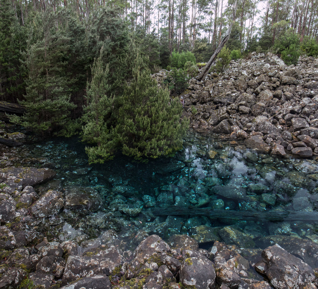
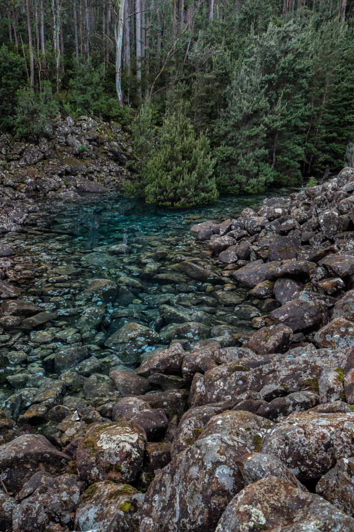
Disappearing Tarn on Kunanyi / Mt Wellington. May 2018.


Why were so many people gathered at Disappearing Tarn on Friday morning, when Kunanyi / Mt Wellington had been declared closed, and when bulldogs were guarding the road that gave the easiest approach (the one to The Springs), just to make sure the citizens didn’t get to enjoy this intriguing and beautiful natural phenomenon? Why were we so very rebellious? And why was everyone I spoke to so particularly antipathetic towards their local politicians? Being a resident of Launceston, I don’t hold the particular gripes ailing the Hobartians at present, but I do utterly loath the fact that my country has become a Nannyland, where people in local and regional power opine that they have the right to think for me, and where I am thus reduced to the lowest possible common denominator of intellectual and physical capabilities; when I am disallowed from activities or sights (and sites) because they would harm Jo Blogs, who can neither walk nor think, and who has utterly no discretion, judgement, or personal responsibility. If I want a nanny or a mother, I’ll go get one of my choice. Such a person would be wise, informed and intelligent. I do not want to be told how to be human by a bunch of pretenders who have risen to power because the indolent population voted for free beer on Sundays.


The worthy citizens of all ages, shapes, abilities and sizes had made the monstrous effort of getting there not just to be rebellious, however (I am sure). I presume that lying beneath that refusal to be told what is and isn’t dangerous or worth their attention, lay a genuine desire to see something amazing and beautiful. The very ephemerality of this tarn – its cute disappearing trick – no doubt kindled our desire not to delay in the slightest. And, of course, it isn’t just that a tarn materialises for a while and then vanishes, but we wanted to see the wonderful colour of this tarn, lying innocently up there amongst the rocks, supporting a dainty grove of trees. What do we call this blue? If you research shades of blue in the web, no two sites seem to agree on the shade of any particular name. I am hoping that cobalt or lapis do the trick. You can see my photos and name the colour for yourself. Any offerings in the comment section will be appreciated.


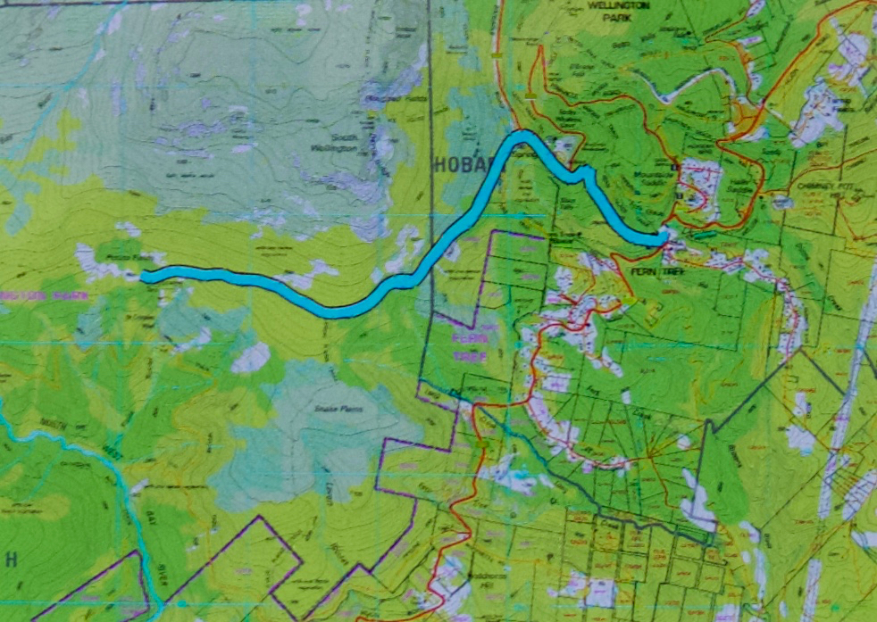
In terms of getting there, by the time this is published, the mountain will probably be opened again, and the tarn may well have also vanished. I will publish my route so that if conditions repeat, you can use the same one if you sneak past watchful cerberus characters down below. It begins with a very steep walk straight up the spur from Fern Tree to The Springs (which took me 27 mins with my camera gear). One then follows the Milles Track, roughly on contour – but don’t get excited; it  makes up for being flat by being very, very hazardous underfoot, with sockerball, football and potato mini-boulders to work around or trip on – heading for signs that say “Wellington Falls”. After 52 minutes, the tarn was just above me. I couldn’t see it, but I could see a depression in the rocks, suggestive of a tarn, and, perhaps luckily, two people heading down that way, so that clinched the deal. I didn’t bother checking my gps; I just followed them. I had driven down from Launceston, and refuelled at Daci and daci to compensate for the early breakfast,  so didn’t get started until 10 a.m. This meant that, as usual, I got very hungry, as the place begged you to stay a while, and the people there were friendly, and had plenty to discuss (politics).


Tolkien Falls 2018 Apr

Tolkien Falls, Apr 2018.


I came upon the Tolkien Falls quite by chance. Perhaps it’s embarrassing to admit it, but I was trying to find Regnans Falls at the time. I was following instructions that said to go to a Big Bend, so I went to the biggest bendiest thing on the map past the Big Tree walk on the Styx Rd, parked and walked my way through beautiful forest up the stream. The instructions said the falls should be twenty-five minutes away. At twelve minutes, I found a waterfall. I’m normally fast, so was only vaguely perplexed. The falls were smaller than those in photos I’d seen, but they were taken in winter, and lots of waterways are not pumping at present, despite recent rain.


I did find footprints once there AND a pink tape. The instructions had mentioned pink tape, but I found none until I was at the falls. As with Regnans, you could climb up the right hand side (others had done so), and there was more tape there. In fact, I could see a line of tapes, so, being a curious person, I decided to follow them. They took me past “Gandalf’s Staff” and lots of fungi, and eventually, back to the road six minutes’ walk from where my car was. This return forest section took me fifteen and a half minutes (plus the six along the road). It made for a thirty-four minute circuit before you add in an hour for photography (falls and fungi).


The last thing I saw before joining the road was a sign that said “Tolkien Track”, so I have dubbed these the Tolkien Falls. I then tested the only other bend on offer, you know, just in case, and found the falls I had been looking for in the first place, but am very happy to have added these serendipitous falls to my growing collection of photos and Tasmanian waterfalls. Unlike the case with Regnans Falls, the map does inform you that there is a waterfall on this nameless (but now called by me Tolkien) creek.


If you continue along Styx Rd past the Big Tree Reserve Walk, past the sign that tells you there will be a boom gate and you’re to go back to Maydena without collecting $200, and past where the road splits (take the upper fork), then the next bend, a very short way (100 metres?) further on is yours. Walk up the road for six minutes until you see a cairn and pink tapes on the right, and a path leading into the forest. A little sign in the forest will tell you it’s the Tolkien Track. Enjoy. (Then you can do the Big Tree Walk, and the Styx River meander, by which time you’ll be needing some food.) (To get to the Styx Rd, turn right a few kms past Maydena. There’s a big sign.)

Ironbark Falls, Nevada Creek Falls, Constable Ck Falls 2018

Ironbark Falls, Nevada Creek Falls and Constable Creek Falls. Apr 2018.


Ironbark Falls
After my huge waterfall bagging spree of Friday, it seemed rather greedy to be back at it again on Sunday, but Craig and I had agreed to go a-bagging again this weekend: the question was, where? We had our goal all worked out, but the weather was so utterly appalling there that I suggested we do the dry thing and explore falls on the east coast instead (Ironbark Falls, Nevada Creek Falls and Constable Falls). Craig seemed to be perfectly content with the idea of getting muddy and saturated, possibly freezing, and having continual droplets on his lens, but, in deference to my wussiness and weakness, agreed to forego these pleasures and travel to where the sun was. I hope he didn’t regret this consent too much. While everyone else was huddling from snow squalls by the fire, we were calling on clouds to come to our aid and cover the sun for a moment or two. While others were worried about hypothermia this weekend, we got sunburnt.


To add to the pleasure of the day, Bec (Craig’s wife) and Tessa (the faithful and fancy dog waterfall bagger) were going to join us. Waterfalls, here we come. The first on our list was Ironbark Falls, that being the only one of the three to be given the glory of an official name. I drove down Argonaut Rd, forked left onto Trafalgar, and continued along it past its official end onto what is then called Transit Rd. We had no idea how this road would be, but were all prepared to walk the whole way if necessary. There were a few ruts to negotiate, but nothing to overly tax my Subaru Forester, and we arrived safely at the spot we wanted.


The walk from the car to the falls was sheer delight, the forest being as open as could possibly be, with attractive tors piled on top of each other adding heaps of interest. This type of coastal granite has been the site of many orienteering competitions in my past life, and just being there made me very happy. The walk to the falls did not take long, but was long enough to be pleasing (a bit under twenty minutes). On the list map, the creek looks like a lake at this point, so I was curious to see what it would look like. There is a very wide area of rock, with gently flowing water over it. It was lovely, and had a real “northern territory” feel to it. If you can’t afford the NT, then just go to St Helens. After photographing, we had lunch on the rocks (hoping for a cloud or two to come our way). Tessa had multiple swims, and made up for the lack of rain on the coast by shaking herself regularly near Craig and Bec.


Nevada Creek Falls
The next item on the agenda was a nameless fall marked on the maps, situated on a neighbouring creek, which Craig thus dubbed Nevada Creek Falls. We took less than ten minutes to go up over the spur and down to these beauties. These falls had a kind of cascade above, and then a bigger fall below. Both cascade and fall had a pool at the base of the most magnificent green, and perfect clarity. These pools were very inviting for a swim.


Our final goal was another nameless falls on the map, which, again using a practical, descriptive name, we called Constable Creek Falls. These were also attractive, and had a quite fascinating mini-gorge above the falls.


Constable Creek Falls
On the way home, we once more found an excellent place to have coffee (in St Helens) – a tiny little place opposite Banjos. It was too late for caffein: I tested them out with a small but strong decaf cappuccino with almond milk, and they came to the full party. Delicious. The raspberry muffins were moist and delicious. I’ll be back.


Our route. We parked at the mine workings far west (which was as far as I was comfy taking the car). We went directly to Ironbark, then to the falls east of there on neighbouring Nevada Creek. From there, we followed the spur back southish, then west along the road until it was time to head bush and proceed to the third and final falls on Constable creek, the most westerly ones there, NE of the mine workings where the car was. It was then a short amble SW back to the car. This is a gorgeous circuit: highly recommended.