Phillips Falls (ii) 2018 Apr

Phillips Falls (ii) 2018 Apr
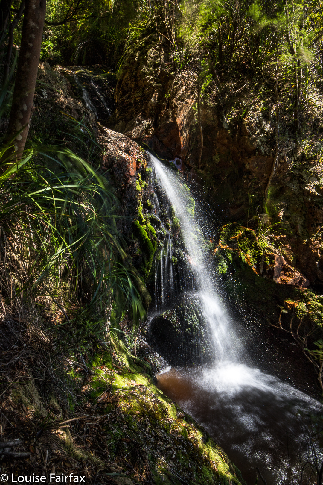
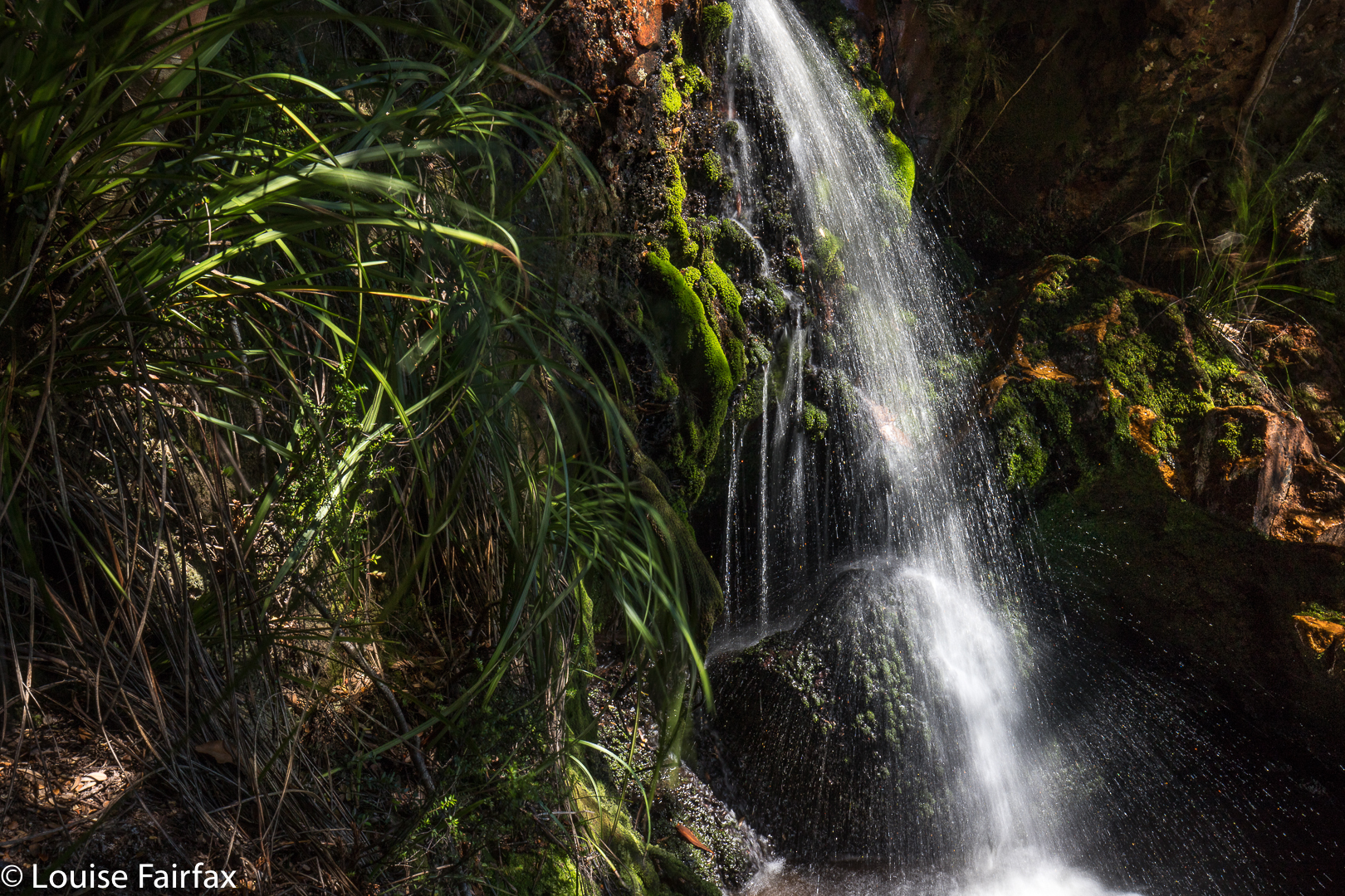
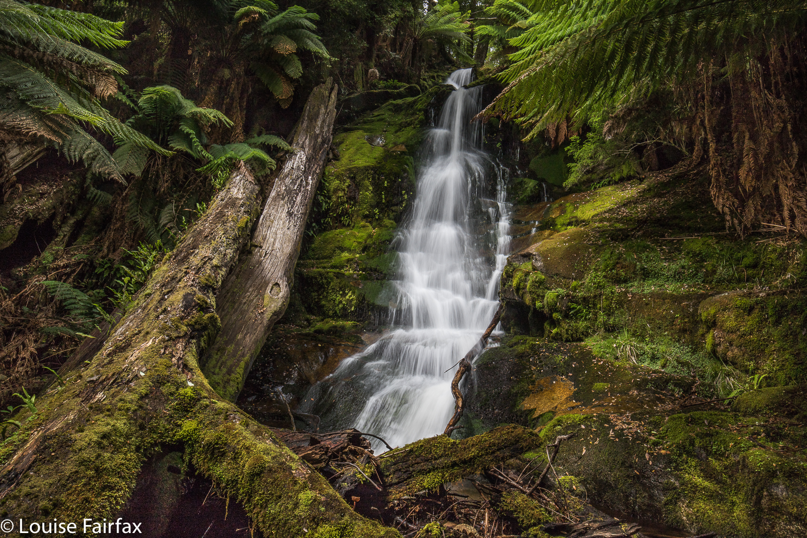
As you may well have noted, my previous blog on Philllips Falls had no photo of the actual falls – as nothing was falling. I decided to go to Cradle Mountain yesterday, and to revisit these falls on the way in the hope that Thursday’s rain would have had a positive effect on the falls.


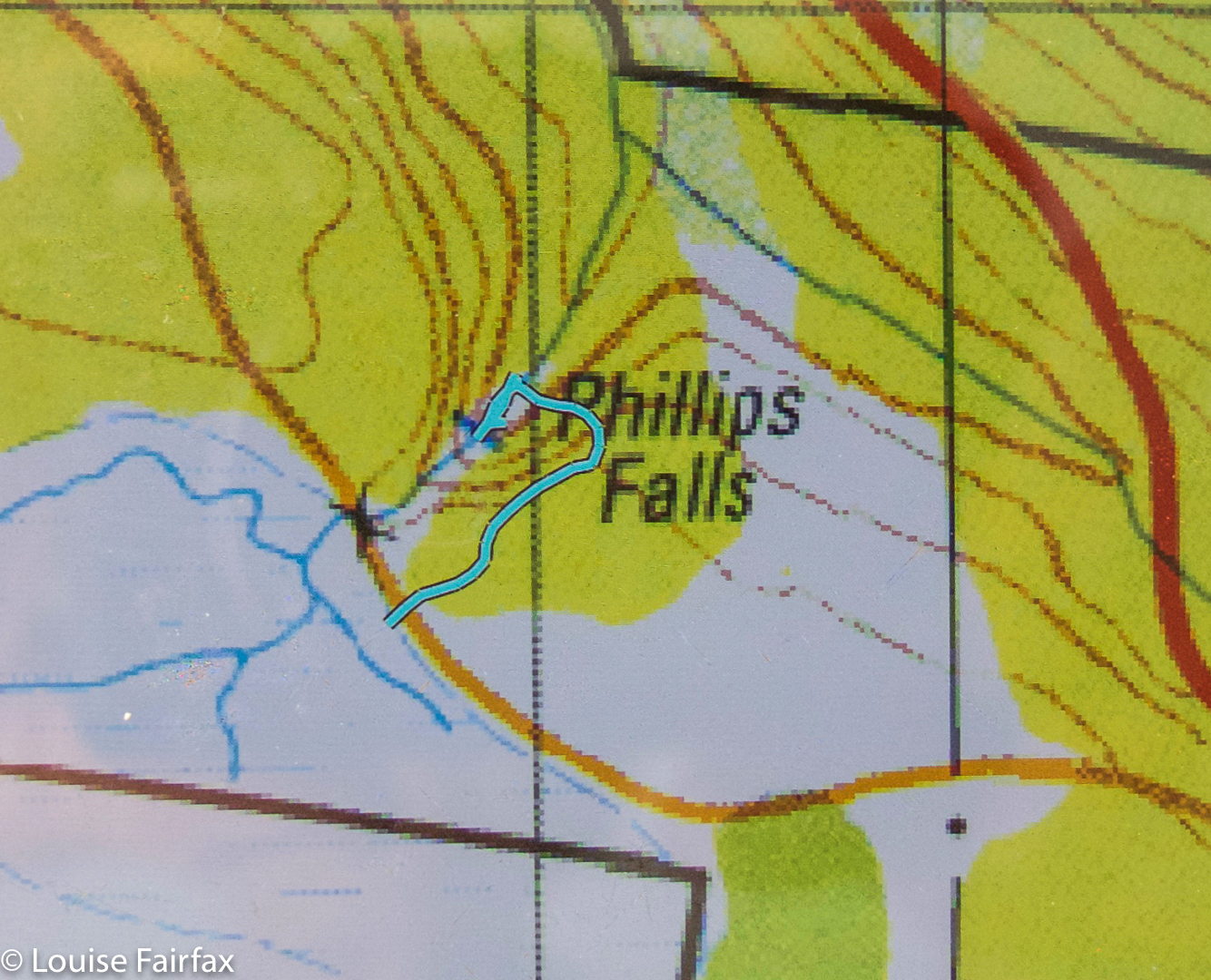
This time there was water, so here are some shots. Take the C138 over the Claude Mt side ridge, and after you’ve descended, the first road (which is dirt) on your right. Stop at the bridge over Mechanical Creek (not signed). The road divides in two here. About 40 metres back in the incoming direction (SE), you’ll see a pink tape. The tapes lead to the base. (See route map below)


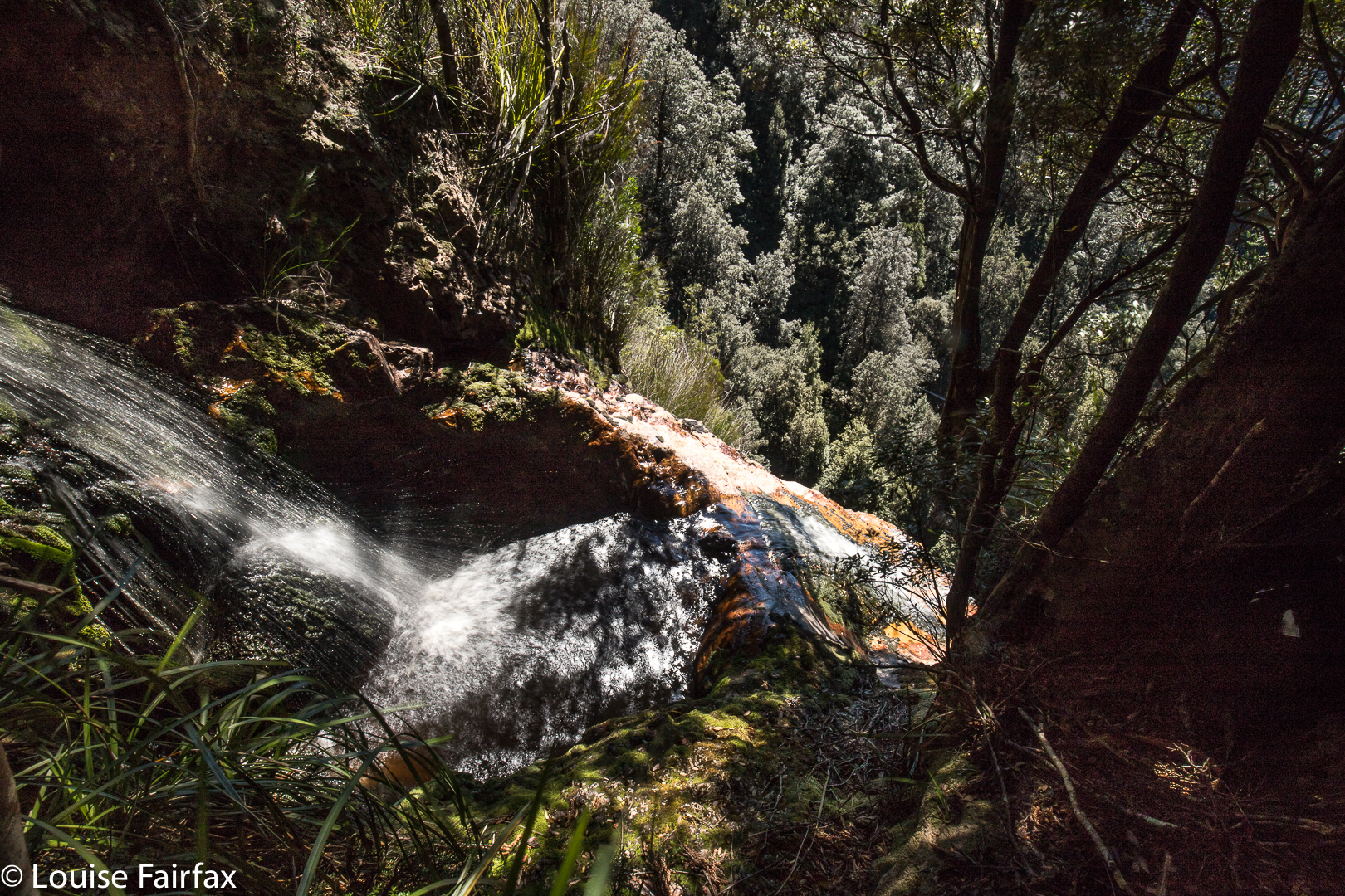
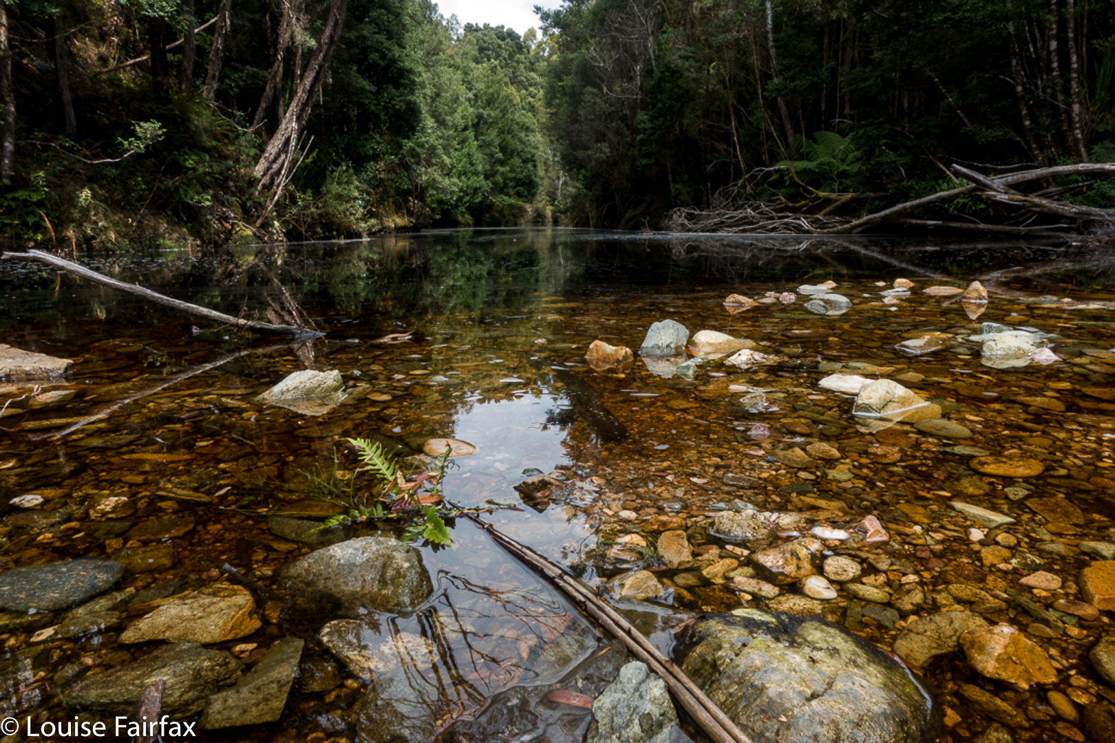
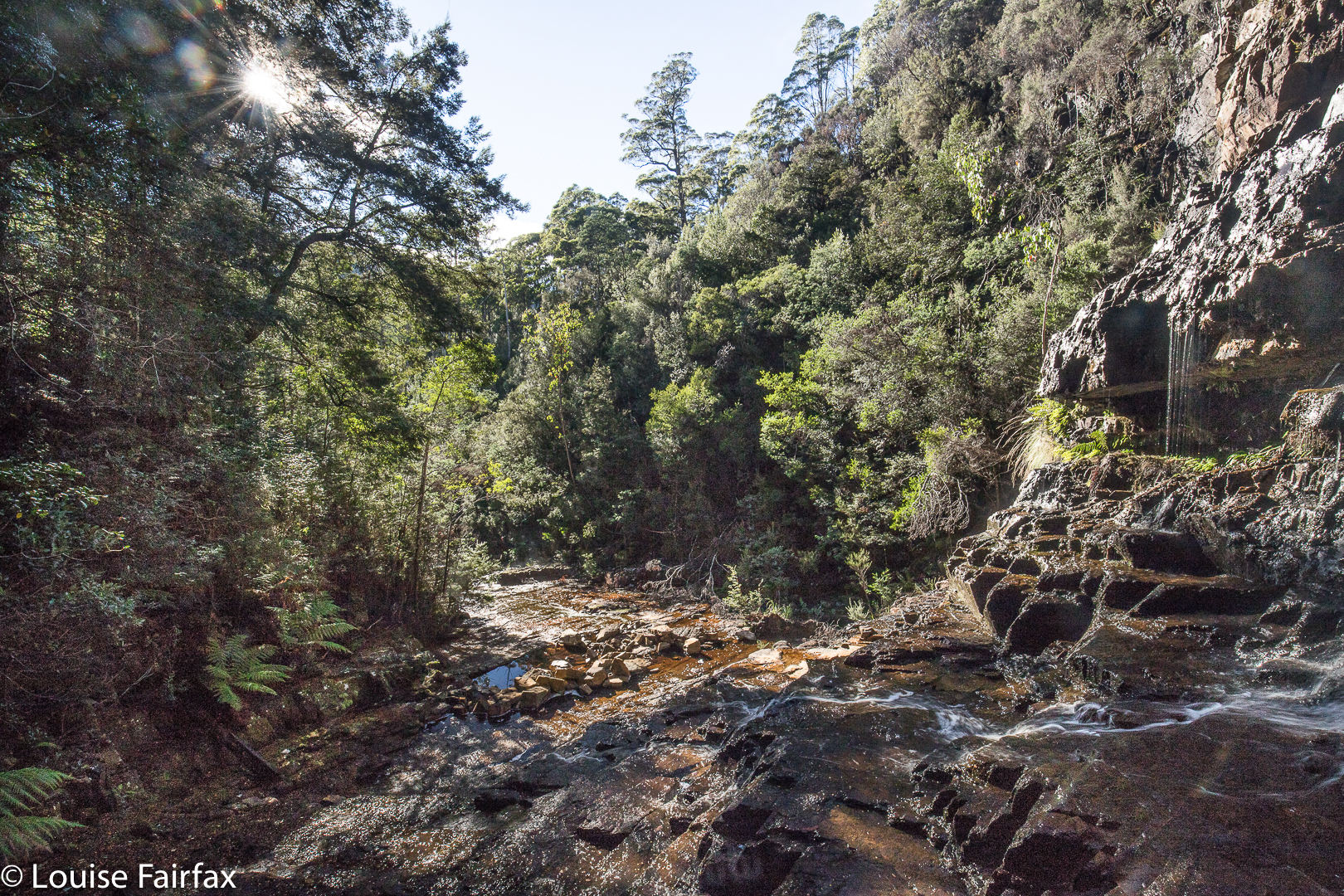
Looking downstream
As it so turned out, I got so involved in the process of visiting the next falls that caught my attention, and the next and the next, ad almost infinitum, that I never made it to Cradle, but did “bag” six falls, five of which were new for me. It was a successful and a fun outing. I have in retrospect dubbed it the Sheffield Waterfall Circuit. The six falls, in case you want to do a similar circuit, were: Phillips, Cethana, Narrawa, Hullabaloo, Hullabaloo Upper and Hoggs Creek Falls. If you want to mimic my route exactly, then you’ll also need to stop at Fudge ‘n’ Good Coffee in Sheffield for Italian Coffee and sweet treats at the end of the circle. The excellent cappuccino I had there kept me alive for the drive back to Launceston after a fairly full day.

Frazer Falls 2018 Mar

Frazer Falls, Mar 2018.
The third falls on my list for this day were Frazer Falls, which I was going to attack by following the stream uphill. However, on my way to Rawlinson Falls, I saw some tapes leading up the spur beyond, and on checking my map, I decided this would be a fine way of reaching the falls: follow the spur up and then contour in. OK. That would be my new mode of approach on the rebound. The country up to my left as I walked on was incredibly steep, so it was good to have a plan in place that seemed feasible. I felt that quite a bit of trial and error could be involved here (and I was right).


These are little falls, above the big ones. The sign saying “Frazer Falls” is here, and not below, but here is the top. To my right, right now, is a humungous drop.
On the return leg, I turned uphill at the tape. If it didn’t work, I could then try following the creek (Frazer Creek). Up and up I climbed, on a lovely pad rather than track, that surely went to the falls … or did it? Perhaps it just went to a hut I’ve heard about. However, I reasoned, the hut would be a fun thing to see, and I could catch the falls on the way back down, if that’s the way things worked out. I looked at my map again, and decided this pad should swing to my left once the contours got more gentle. Just when I was thinking things were wrong and it really should be swinging left, it swung, so all was well.


My biggest problem was the two areas of fallen timber, where regrowth had taken place so that the ground was no longer visible, and obscuring shrubs and cutting grass had grown up. It was March, just the time of year when I once got bitten by a tiger snake. I was fearful. This was just the kind of territory I was in when bitten. I held my breath and gulped and got through it as quickly as I could, hating every moment. A second problems was the lack of opportunity to comfortably swing left on contour to avoid these areas. It was steep and full of horizontal scrub – most uninviting. I therefore stayed on the pad to see where it would dump me. I found myself at a lovely little sign, cutely carved in wood, telling me I was at Frazer Falls … but I was at the top. I wanted to be at the bottom. OK, so, I’d explore the top for now.


If I tell you that those trees whose tops you can see are enormous, can you begin to get a sense of the drop in front of me? It was huge.
I climbed the short way down and took photos of the little falls above the real ones, which are here. I have been told of others who have photographed the falls from below, so am peeved that that was not my lot for this day. I felt very, very insecure in the area immediately above the falls, as the drop was huge. I opened my camera backpack and several items tumbled out. I watched with dismay, too scared to chase them. Luckily, they stopped their path to the abyss (oh the joys of friction), and I prodded them with a stick to return them to the bag, marvelling at how much money almost went down the gurgler.  I could see no obvious sign that humans had gone “this way”, and had lost my experimental spirit, so decided to be content for now that I had bagged the falls from above, and saved the below bit for another time. The flow above was minimal, so I don’t think the below view would have been worth the effort on this day – well, that was what I told myself as a consoling fact.
I was hoping to be more efficient through the fallen areas on my way down, thinking I knew my way through the mess now, but got shoved somehow to the right, and found myself mildly stuck in timber that was so rotten I couldn’t just walk on it to get out, as it collapsed under my not-considerable weight. I was nervous about getting a foot wedged in such a collapse, so trod very gently indeed, and rode most logs like a horse until out of the area. I didn’t think our girls would like to lose two parents in the wilderness, possibly from the same cause. I knew I was nearly back at track level when the dulcet tones of 4WD revving reached my ears. Three cars went by as I did the final few metres to the Montezuma track.

Sedgwick Bluff as a day walk 2018 Feb

Sedgwick Bluff, Feb 2108.


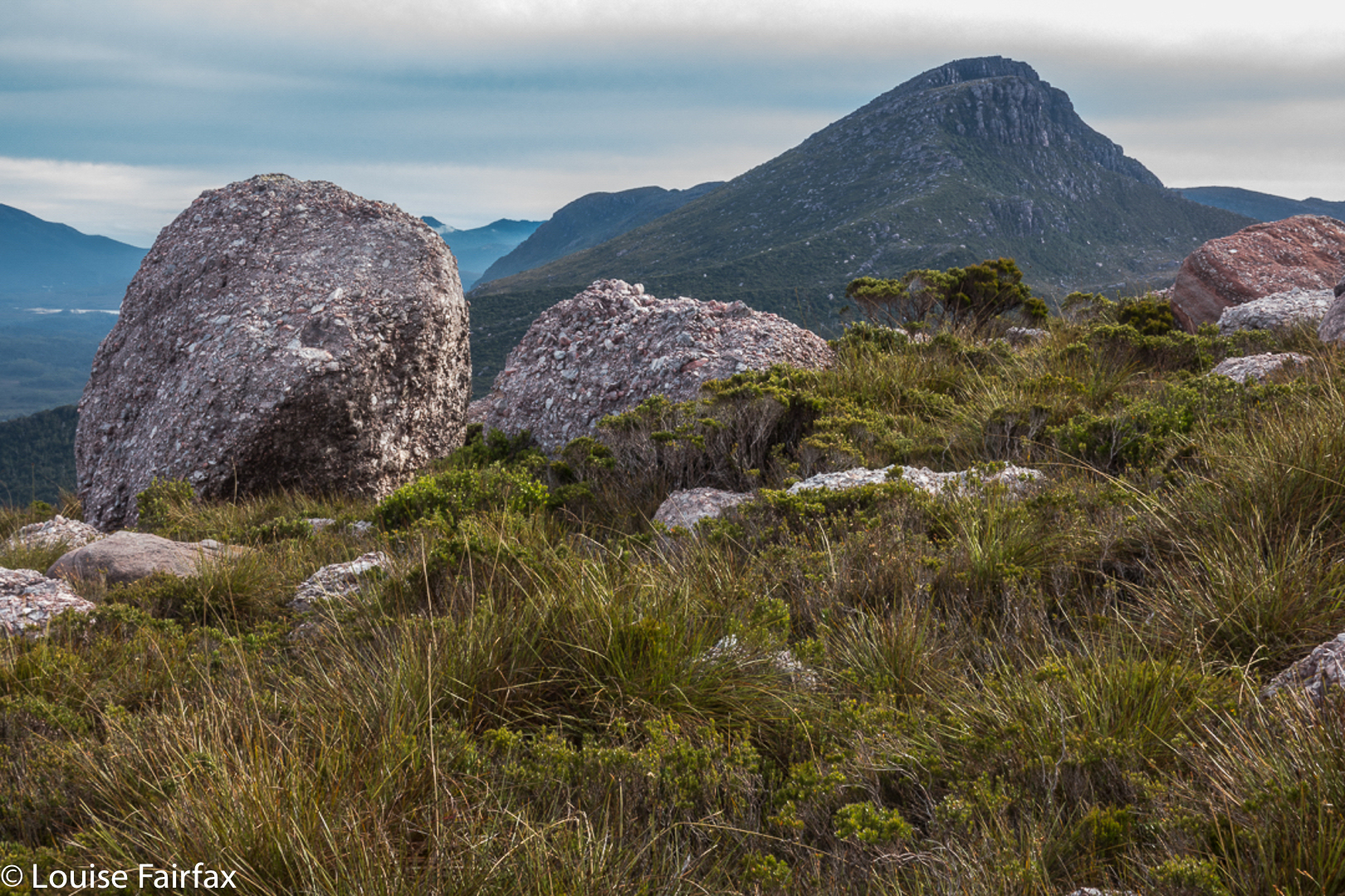
From the slopes of Sedgwick Bluff, unique views of Mt Geike are offered.
Dear Louise, Would you like to join us climbing Sedgwick Bluff tomorrow? Would I what?? What a silly question. Well, not so very silly. I actually did have a fullish programme on the morrow – like an important appointment, and packing my bag for a holiday in Coffs Harbour beginning the day after, but some things get to push the queue, and Sedgwick Bluff as a day walk is one of those. When would I get another such invitation? Probably never. I “needed” this walk for my healing after Bruce’s death. And I would enjoy the company of these people, and I needed to get out and about and mix with other people more. You can see the “excuses” for impetuosity flowing in. My daughters said it was a great idea. I quickly packed for Coffs, cancelled a few things on the home front, packed for Sedgwick, and, somewhat out of breath, arrived that evening to do most of the car trip down. We were away. Whew.


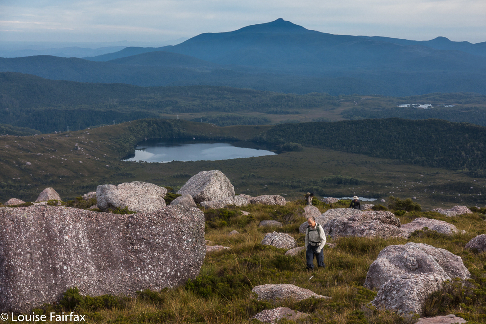
Having fun before the last amble to the summit.
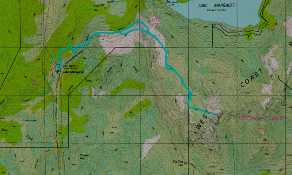
At 7 o’clock on the day in question, we were at the now-unlocked gate leading to the Lake Margaret Power Station (having gained permission in advance to do so). By 7.30, we were ready to start walking up the exceptionally steep path that runs beside the not-quite-vertical pipes that carry water down from the lake to the powerhouse. We all agreed we would NOT want to drive up that track! In twenty six minutes, nonetheless, we were at the top, looking over the edge at the others approaching not far behind. It was so steep you had to go to the edge to see them. Their heads popped up out of nowhere.


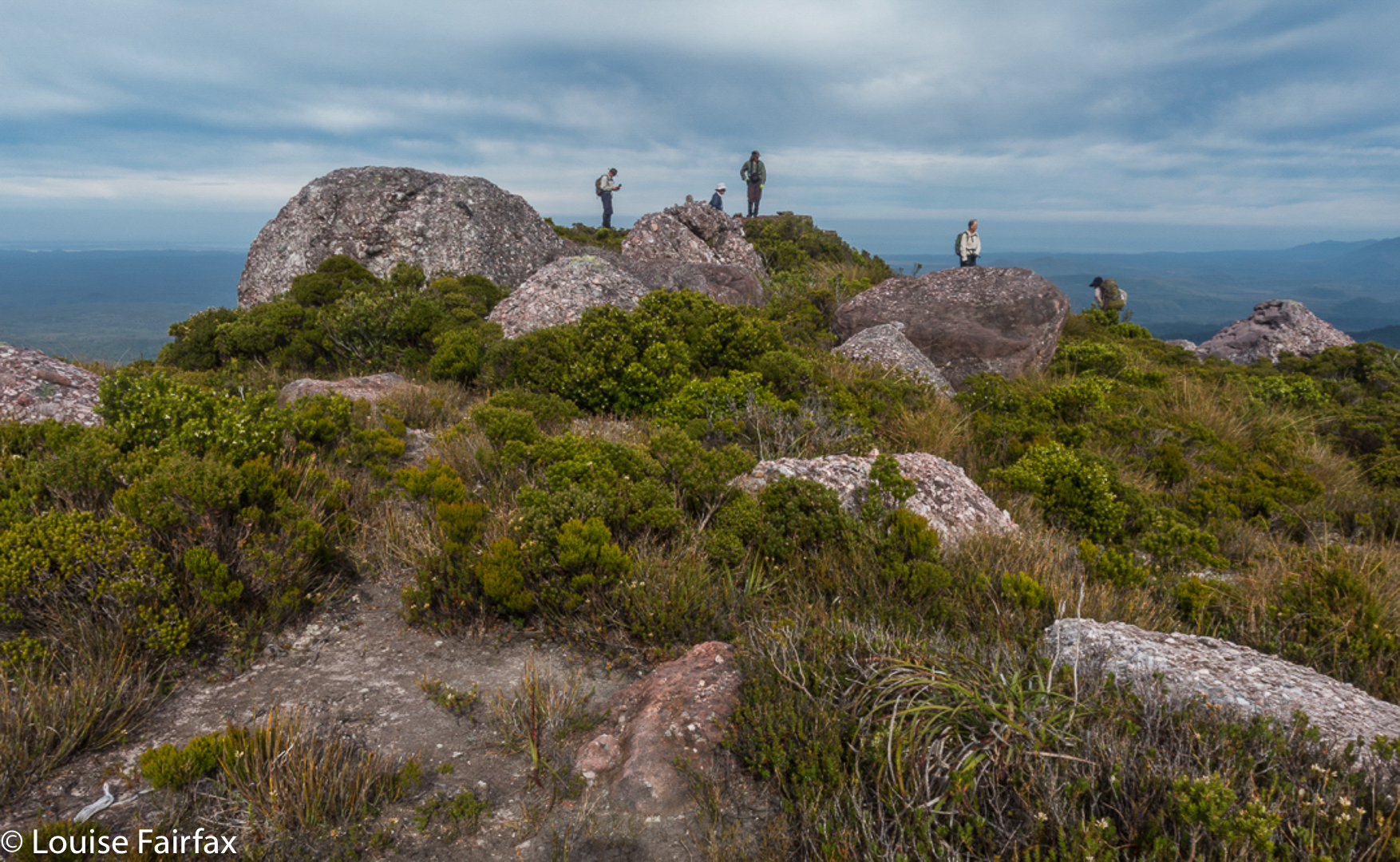
Summit Cairn, Sedgwick Bluff. You can see Barn Bluff, Cradle Mountain, Mt Emmett and Pelion West there to the left of Mt Sedgwick, and the Acropolis and Geryon to the right if you know your shapes. It was a grand view.
The next phase of our journey was a stretch that was on contour, on a kind of disused miniature railway line. This was a beautiful and easy section, and we all knew it was a brief lull before a storm, for, at a point agreed upon by all, we took a deep breath and dived into the thick scrub just before the saddle, figuring things were slightly less thick there than in the saddle itself (or after it). It was so thick that we all took turns of a mere three-minutes at the front, politely calling these five-minute turns, but really, three/five was enough. By the time my second turn came, the scrub was less dense, and soon enough, we made it to the high-point on the ridge just before it dropped to the saddle. The saddle itself was great fun, as it was so steep to left and right, that the merest divergence had one dropping an enormous amount of height. Due to the trees, one couldn’t see this directly; one just noticed that the person in front had dropped out of sight.

One and a half hours of walking after first joining the railway line (with stops for food and thinking and photography added in), we “topped out” of the steep zone, and only had about a half-hour’s gentle “doddle” along the alpine tops to the summit. By 11 a.m., we were sending victory sms’s to doubters who said our trip couldn’t be done in a day.

Yolande River – the first time I had made her acquaintance. Beautiful.
The best part of the trip back was our decision to be different, and come home via a very interesting spur the other side of the saddle from our approach one. Do NOT try to climb by this route! It was hilariously steep, with perhaps the most fun being watching John descend about five or more metres in a single step, but, due to the aid of the thick bush, laughing while he did it and coming to no harm. I gulped and followed. We all knew that we were committed to this route in the fullest sense of the word. There would be no climbing back up. We absolutely had to find a way around all the cliffs we kept meeting and continue downwards. It worked. …. And the next day, early in the morning, I flew out to Coffs Harbour. Life is a good thing.

Cuckoo Falls 2018 Feb

Cuckoo Falls Feb 2018

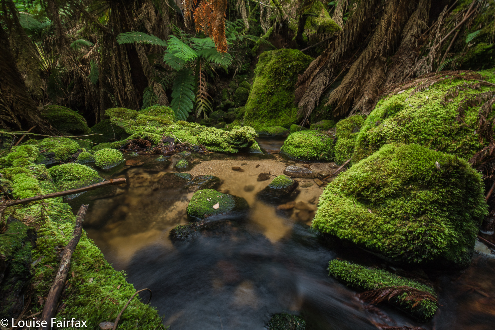
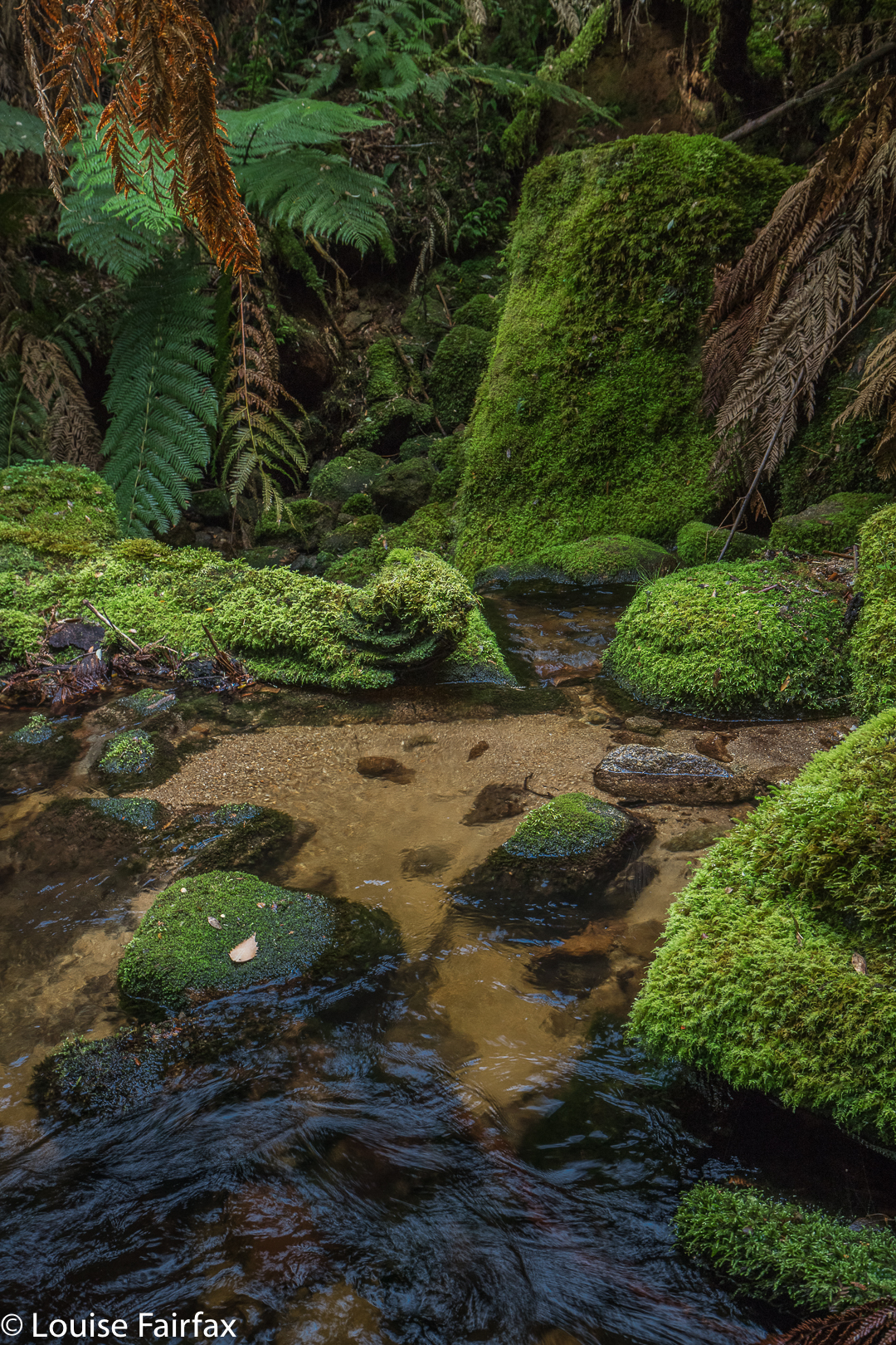
Bruce and I tried to get to Cuckoo Falls two years ago, but made the mistake of underestimating how much time it would take. We didn’t get started until 3.30 on a winter’s afternoon, and never reached our goal. On that occasion, we spent a lot of time putting out tapes in the forest, pulling in tapes that went  in an entirely misleading direction, and breaking bracken fronds along the old track so that the way would be clearer, and the going faster next time. At last, this weekend that ‘next time’ came by, but Carrie was a to be my companion this attempt.

Now, please don’t get excited when I tell you I put out tapes. My old tapes were still there, indeed, and they had had babies, which is great, as other tapes had joined them, but this does NOT mean that the going is easy or the way is clear.  Like last time, I had a little bag of ribbons of varying colours, grabbed from here and there, and we added even more tape when we thought things weren’t clear, but the trick to adding tape is that you do NOT add it unless you know for sure you’re on the right track, for otherwise you are more of a hindrance than a help. This means that when you need the tape most, you can’t put it out, as you are not confident you’re on track. Once you become sure again, of course, you don’t need tape. Carrie put up with my going backwards on several occasions once we knew we were back on track, and I put tapes where I hoped it would be helpful.

But again, please don’t rejoice and think I have now solved all your problems. Even with the path thus “fixed”, I had to use my gps several times both on the outward and return trips to ensure we hadn’t wandered. There remains ample room for error, and this waterfall must absolutely not be attempted unless you really know what you’re doing. Not only is the path unclear on many occasions, but the way, especially at the end, is rough, violently steep, and challenging, and the rainforest you traverse is old and decayed. Both of us fell now and then when the forest floor gave way under us. This can prove fatal, as Philosopher Smith noted when he was exploring old rainforest further west. I also think that Bruce must have had a fall in the forest (having wandered off track) and got covered by leaf litter: it’s my only explanation as to why we never found him, despite a huge, professional search. Walking in old, decayed rainforest is not to be done without full knowledge of the dangers. I once watched a very experienced bushman break his tibia when a log gave way underneath him, upsetting his balance. I once did a dangerous faceplant down a slope for the same reason. You’re not expecting what’s under you to give way, and so you tumble when it does.

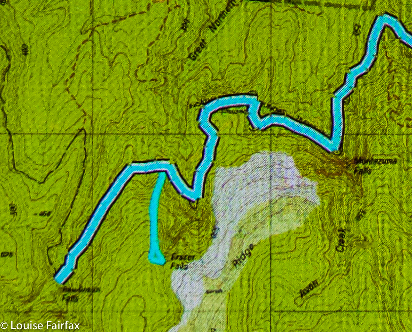
I am putting in my map of our route below to show you its shape. This is nothing new, but merely a shortcut for you, as the shape / route can also be seen on the List Maps, or on old 1:100,000 maps. What is clear on a map is not so arresting on the ground. This is not a track for “tourists” or people who “just” like photography, or even for “track-type” bushwalkers. It’s for experienced, off-track bushwalkers, wearing boots and gaiters, who not only know how to read maps, but also know how to move through potentially dangerous areas, and how to manage steep slopes, as there is an art to negotiating unstable areas and not causing a landslide that would damage the person or the environment. If you are an experienced walker, then this area is pure magic.
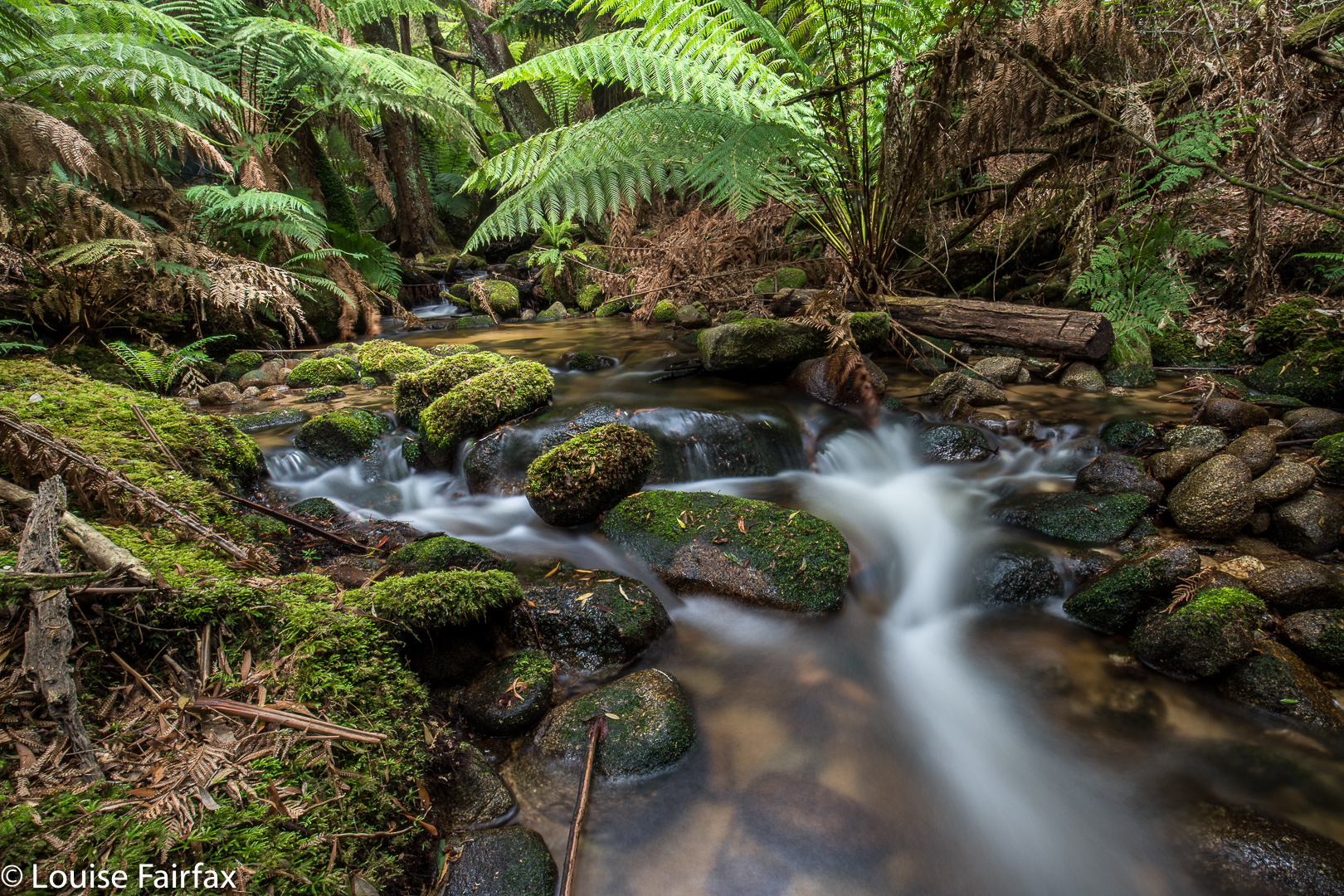

So, enough dire warnings. Let the story begin. As hinted above, it begins by negotiating a very unclear path through delightful ferns, alongside a magnificent creek that is soon left behind as you ascend to dryer domains where the undergrowth is not so lush, but the forest is still pleasing. That said, it comes as a relief when you at last once more hear the sound of running water, as, by this time, you are getting impatient for your goal. We took one hour forty to cover the mere three kilometres of the outward journey, and I would not call us slow. One has to be hesitant in such country, or else it is easy to wander off the route. Like a tracker, you are on the alert the whole time for signs that other humans have been this way.
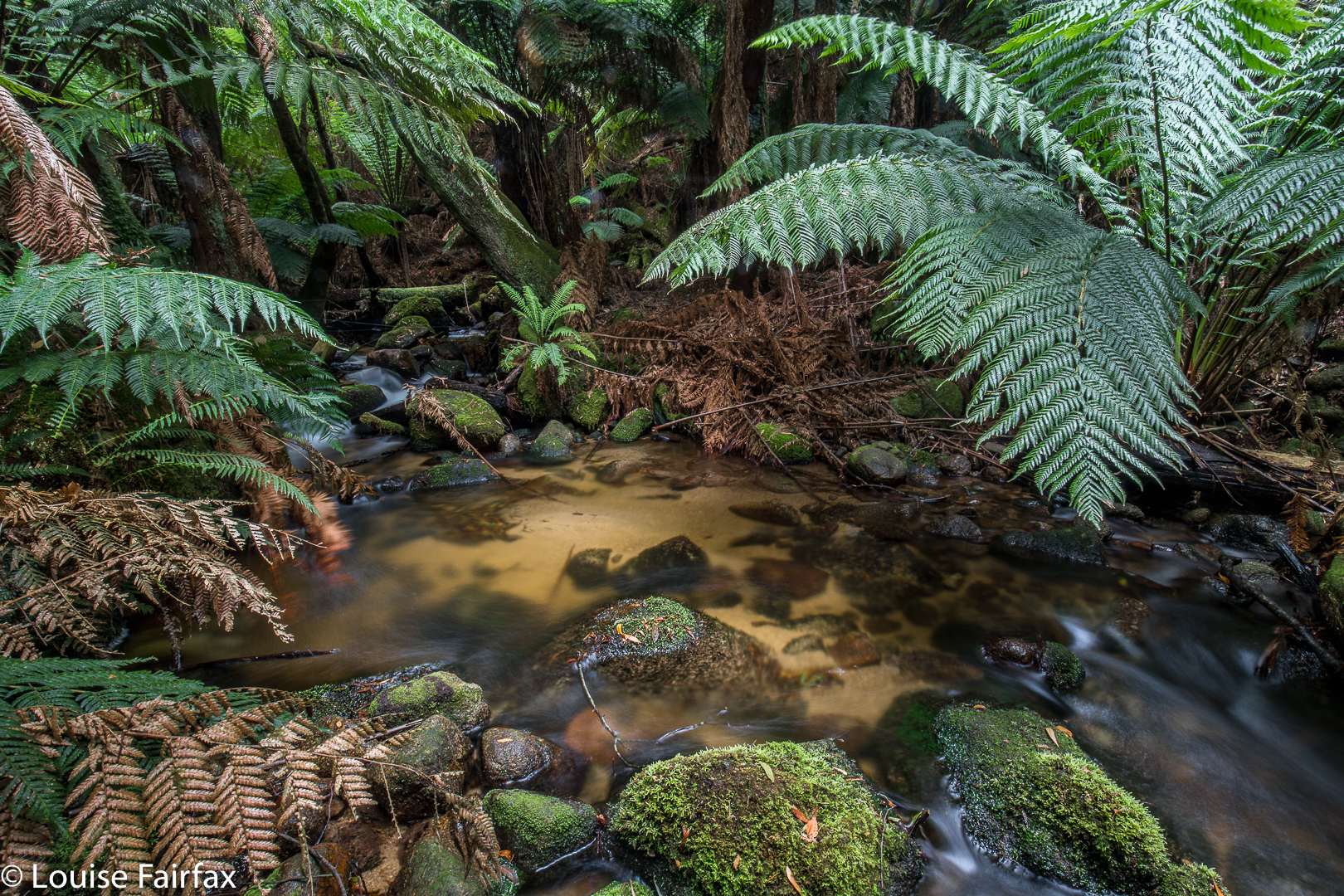
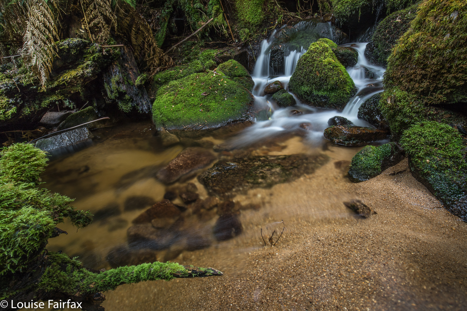
The final hundred or so metres were hilarious. I used to run 100 metres in 12.2 seconds. I think we took over ten minutes to negotiate the final hundred into the falls – or was it even longer? I didn’t time it exactly, We had started to lose our belief in the existence of what the map was promising, as we could neither hear falling water of any magnitude, nor see the telltale white glare up ahead. At last I gave a victory shout. We had done it. Before that, however, there were squeals of joy, like infants when they see the birthday cake. Once we descended from the heights down to the river, we felt we were in fairyland. It was utterly wonderful, and we were yelping in our excitement, lining up pools and cascades we would shoot on our way back. At that stage, we both wanted the final goal first, and these other spots could follow.

The way there took, as said, 1 hr 40 mins (walking). The return, where we spent less time track finding, 1 hr 20. These times do not include tag maintenance, hesitations while route finding, photography or eating. When you add in those things, the trip was 4 hrs 20 minutes long – and that does not include lunch. We had that back at the car. At “lunchtime”, we both grabbed a rushed few bites of chocolate bar, and then set about photographing, which we did for forty five minutes (so my phone’s track data tells me). We probably spent another thirty, at least, photographing pools on the rebound.
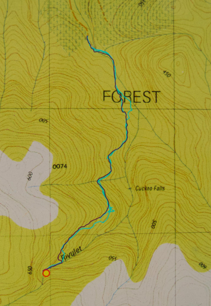

There is a curious feature about the photo I have included. Can you see there’s a falls labelled Cuckoo that we didn’t visit? And that we are claiming to have visited Cuckoo Falls at the far end, when it is not labelled such? The far end Cuckoo Falls are the falls of the 1:100,000 map, and also of the List Maps, government site. These falls on this map seem to be a speciality of some 1:25,000 maps. I am still seeking an explanation of this intriguing matter. We were totally happy with the falls we found and the photos we took, and did not have time to explore these other, nearer falls on this occasion. Besides, it’s nice not to exhaust an area of such beauty as this, and to have an excuse (as if one needs it) to return. If you know the story behind the two Cuckoo Falls, please let me know in the comments if you can.
Post script. I have now been told by a very experienced person from Scottsdale that the “lower” falls marked and labelled on this map do not exist. They need to be omitted from List Maps. I guess someone made a transcription error at some stage, and it has been handed down.
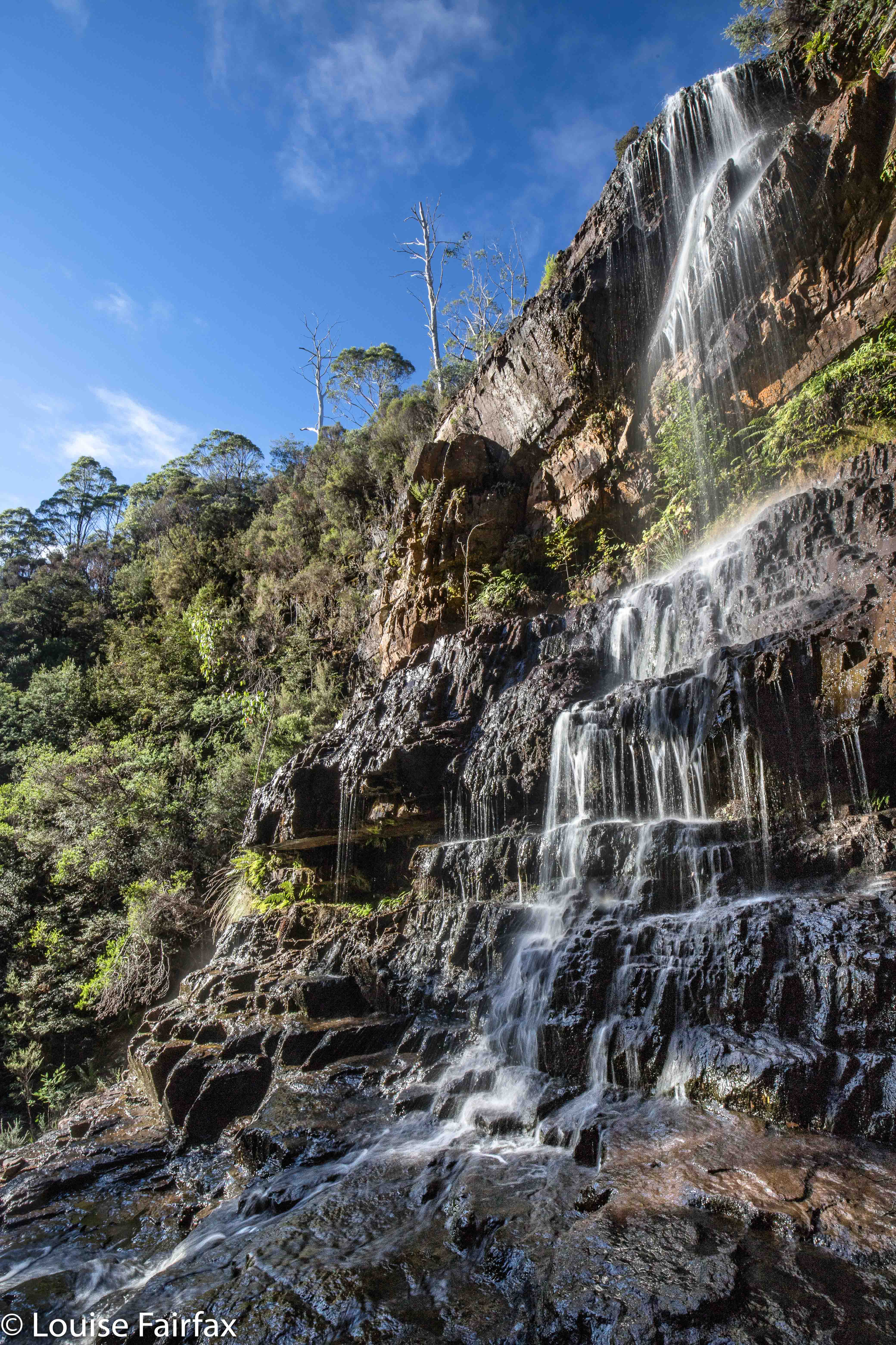
Cathedral Mountain 2017 Nov

Cathedral Mountain Nov 2017

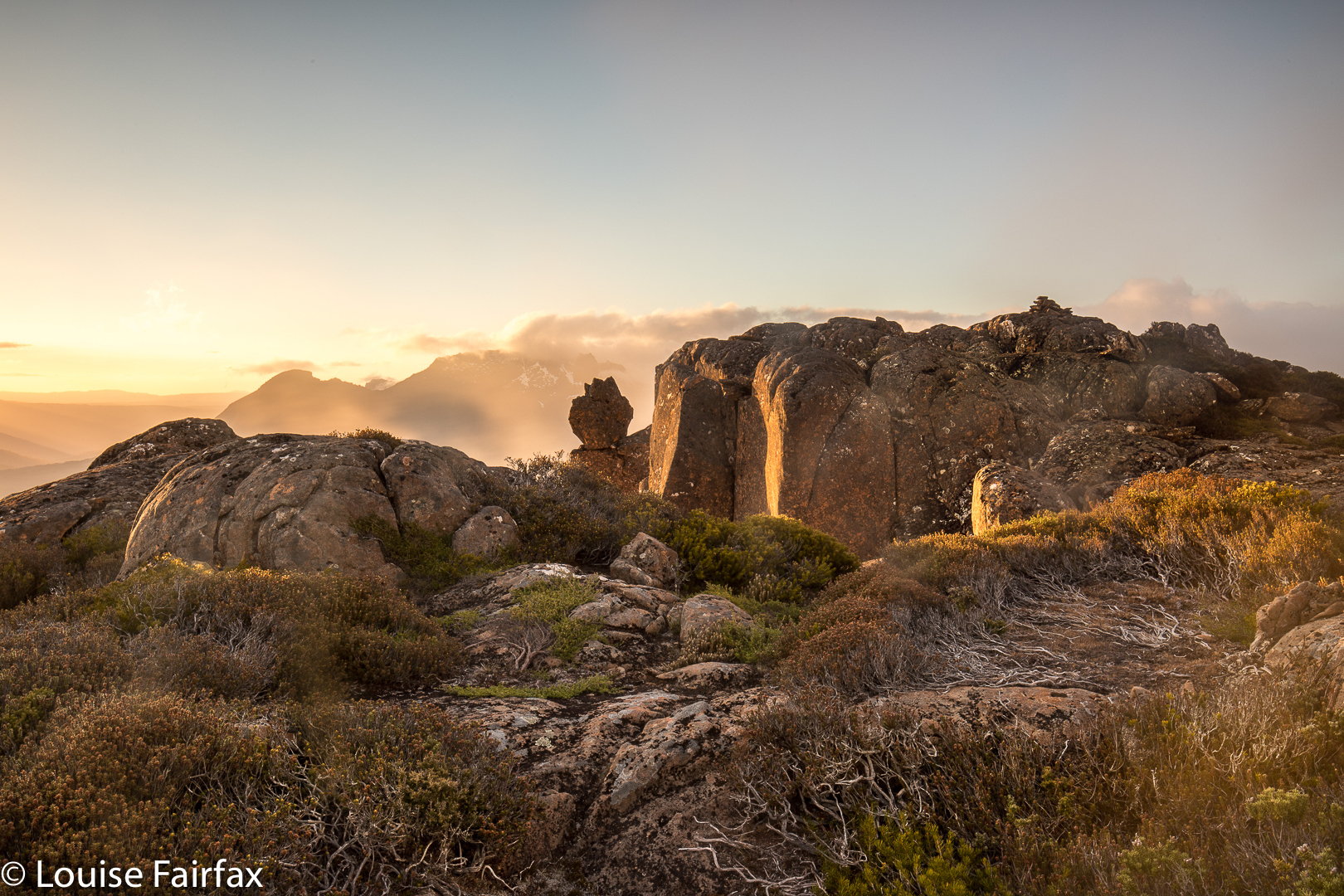
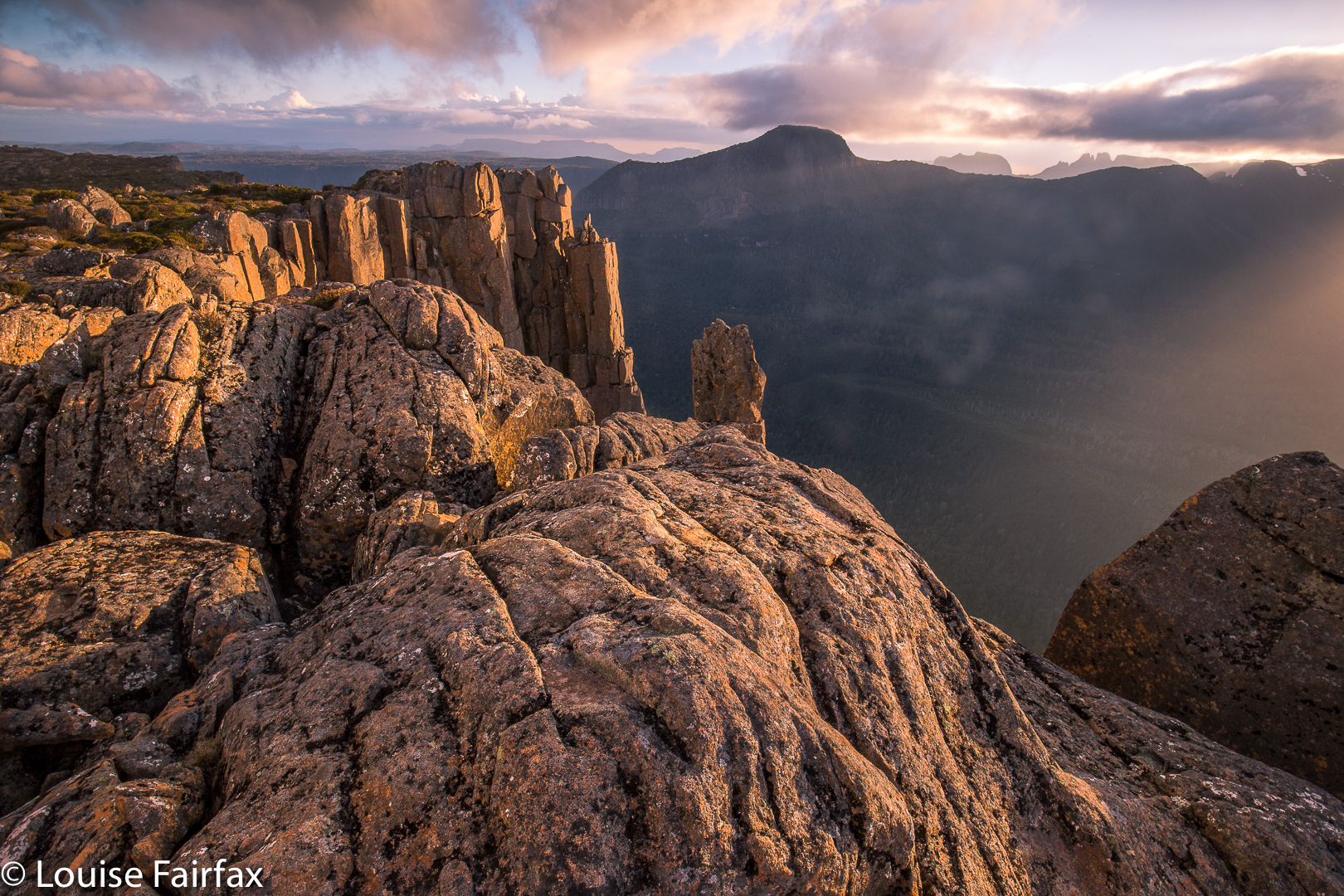
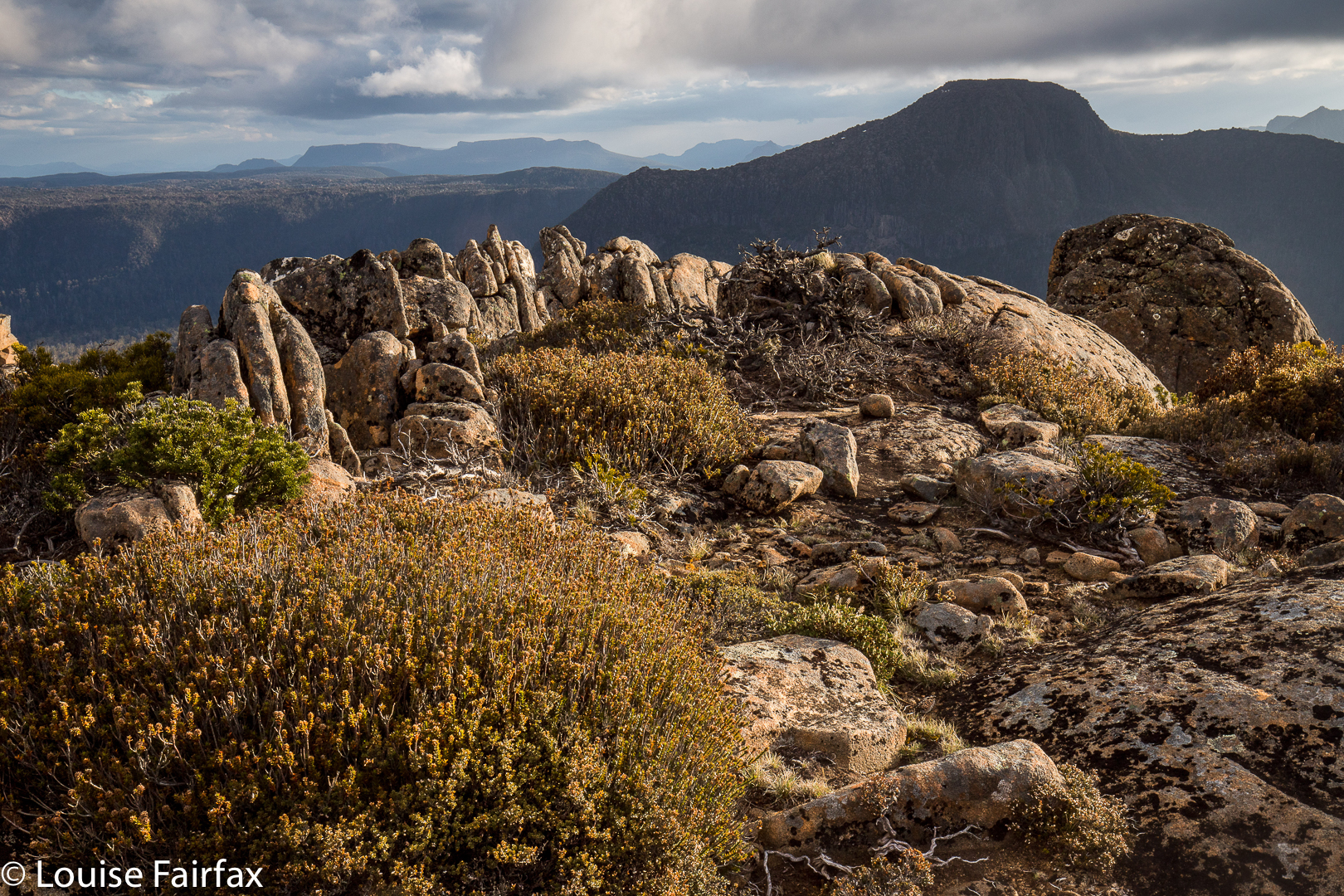
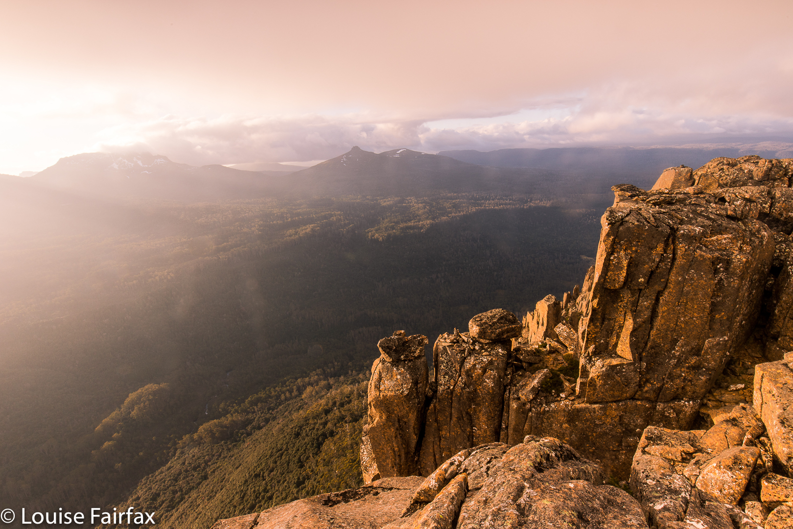
I have wanted to sleep on Cathedral Mountain for years, and am very pleased to have done it, and yet my venture caused me to question the assumed power of the wilderness to heal our sorrows and / or our soul.
Can wilderness do this? The wilderness presents to us infinite sublimity that we can use to transport our being outwards to the universe, but it is not a force with a mind. It can only heal us if we let it, and allow that infinitude to bring us peace.
Wilderness exists as an objective and real part of our environment, indeed, but the value of that thing and its meaning for us depends on what we bring to it. For the wilderness to offer me healing, I need to meet it half way, as it were, and permit the expectations and connotations I give it to do their  work. I need to lose myself in that beauty – to allow it to overwhelm me so I can lose myself. On the weekend, I could perceive the wondrous sublimity, I loved my little tarn and my magic view, but I still felt empty. I couldn’t lose myself at all or join a wider universe. I was stuck in my own misery.

A long time ago, back when I was an international athlete, I thought that nature had the power to completely satisfy me. I remember clearly the day that debunked this theory: I sat on a rock up very high above the dramatic and impressive Aletschgletcher and looked out at infinite space. This was the quintessence of sublimity, and yet all I wanted at that moment was to have Bruce beside me, sharing that magnificence – not necessarily saying anything at all, just being there, sharing. And so I realised that it is not nature per se, but nature in the context of meaningful relationships that I find to be so wonderful.

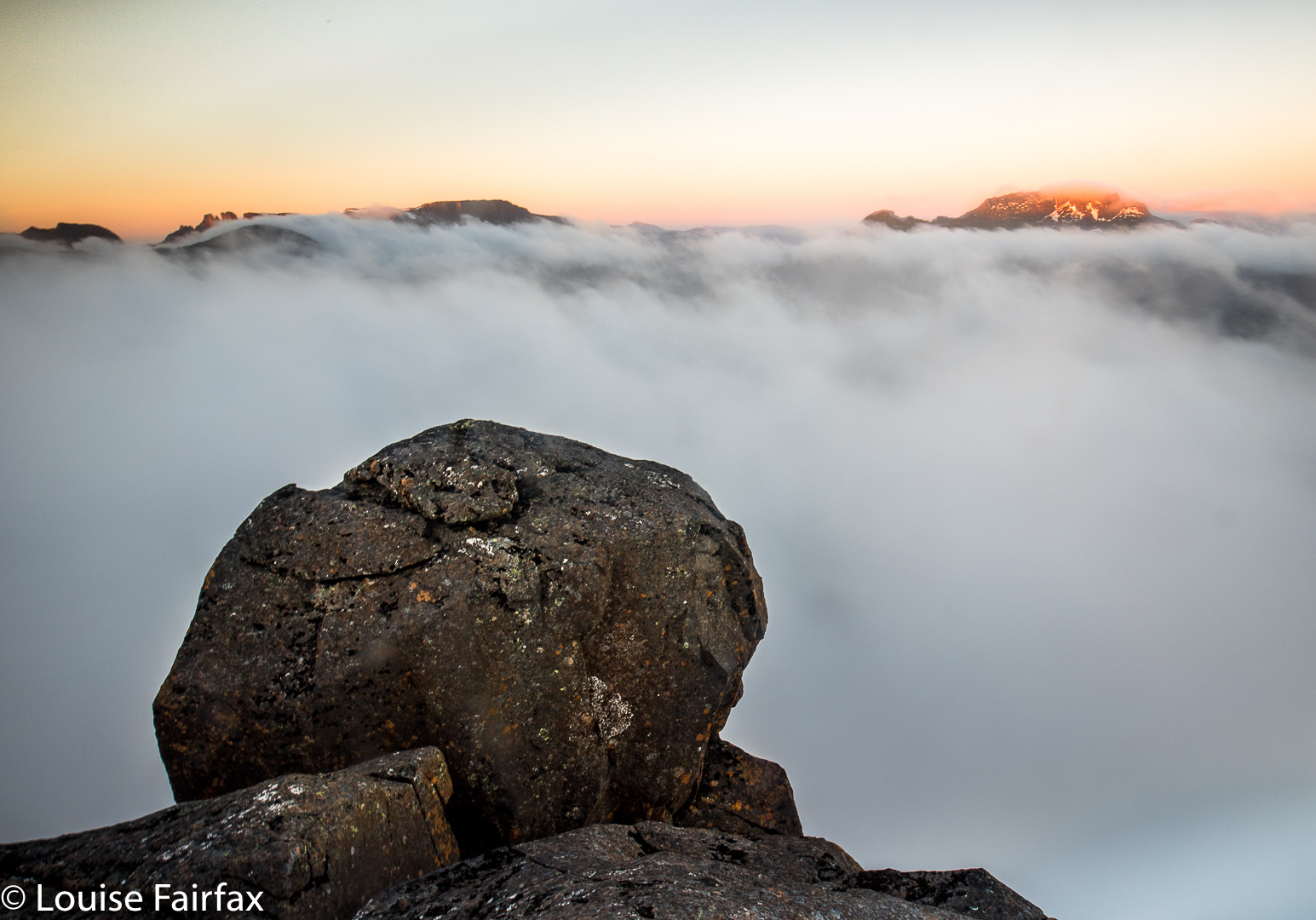
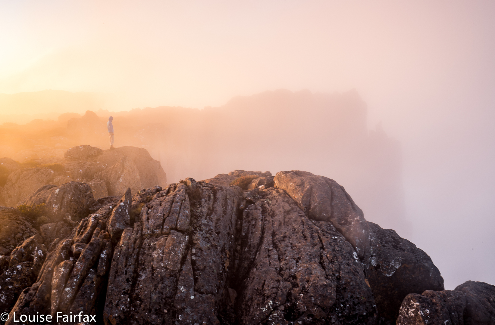
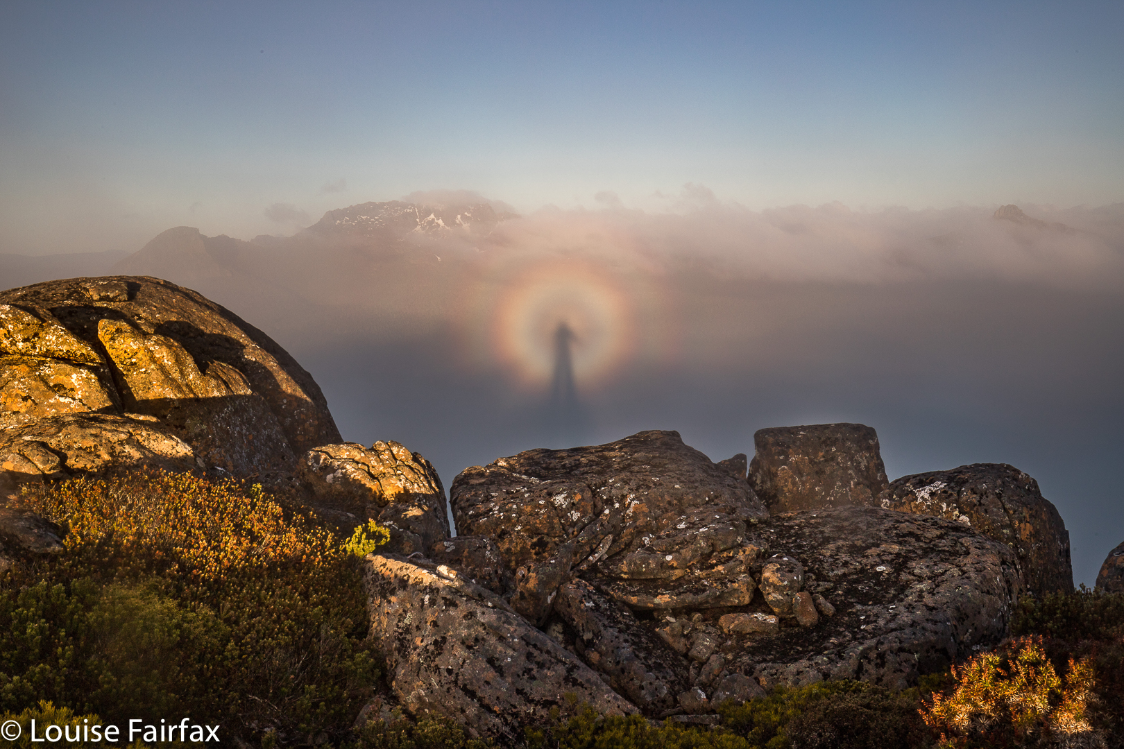
And so it is hardly surprising that there, on top of Cathedral Mountain last weekend, witnessing a beautiful display of, first, a golden sunset and, next morning, a thrilling sunrise with pink mountains above white cottonball fluff, I felt far less moved by nature’s wonder than is normally the case. I have lost half of who I am, the person who defined how I saw myself for most of my life and who helped mould who I became; the person who gave me incredible freedom by granting me his love.

In seeing our relationships as the most important aspect of our lives, I am hardly alone. I am reminded of Goethe’s Faust, who sought fulfilment in a variety of sources (learning, magic, nature and more) and yet, who found it in the simplest of solutions: in the love of Gretchen. In a similar yet very different vein, C.S. Lewis whose whole life revolved around reading and writing, found no solace after his wife’s death in the act of reading. Our relationships are like a taste-enhancer, lending flavour and zang to anything we devour. Lose a meaningful relationship, and everything becomes bland and uninteresting. The view from on top of Cathedral Mountain was hardly bland or uninteresting, but, for once, it could not pull me wholly out of myself and give me that enjoyable feeling of merging with nature I so often enjoy on a summit. I am fighting to retain my self in the presence of huge forces; it is hardly surprising that I can’t give to nature right now. And if I can’t give, then neither, of course, can I receive.


And so And so it was that with the deep sorrow of losing Bruce operating below the surface of everything I do, the extreme beauty of Cathedral Mountain, although it moved me, failed to heal my sorrow or to transport me to infinite places where I could feel soothed. Not now.


Only family and close people can soothe me right now. Later, things will change. I am still glad I went.

 The problem, I guess, is that in the past, when up a mountain, even when solo, my solitude has occurred within the wider context of a waiting Bruce at home, who would be pleased to see me on my return, would want to hear stories of my adventures and to share in my photos.
The great poet, John Donne, used the image of a protractor to describe how it was between him and his wife: one partner stayed at the centre while the other one roamed; both were joined while apparently separated. This is also a fitting image to describe the way it was for us. I climbed while Bruce stayed at home, joined in spirit whilst prevented physically by his illness. I guess you could say I was only ever carrying out a pretended solo. Now, for the first time, my summits are truly alone.

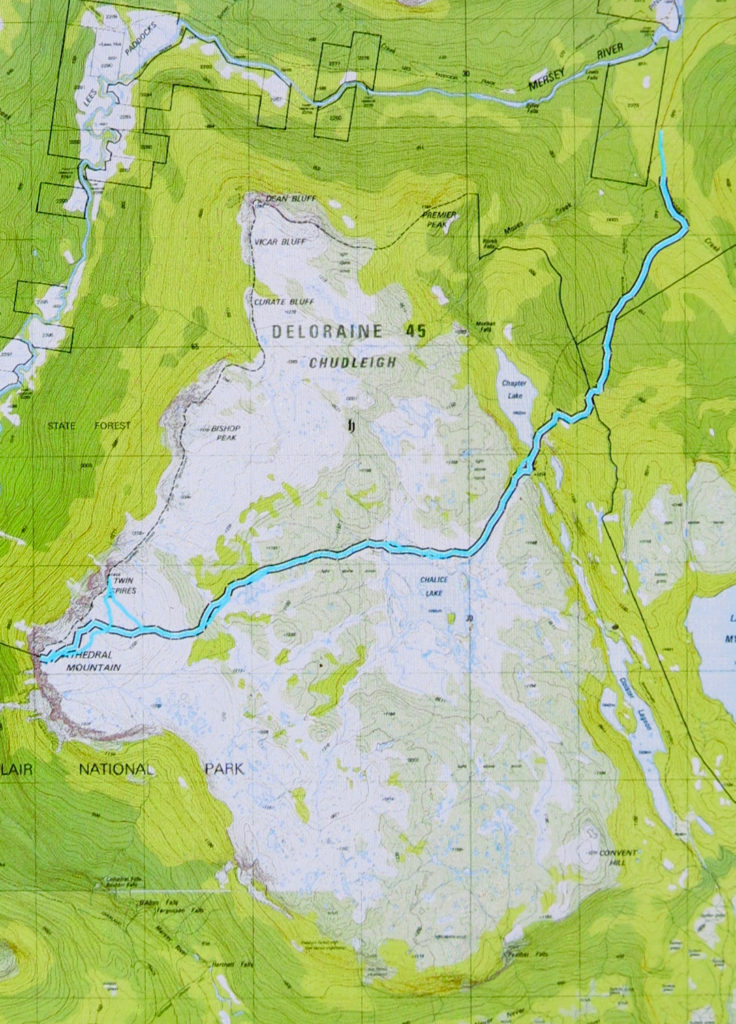
But you, lucky reader, can presumably visit this wonderful summit without these cares, and the majesty will have more power to impress you. Getting to the top involves a combination of track following and navigation. A rough (and not always distinct) path leads from the carpark at the end of the Lake Rowallan Road to the beautiful Grail Falls, after which a cairned route takes over, getting you as far as Tent Tarn. If you are not a confident navigator, you should stop here (or even earlier, by one of the other beautiful lakes). From Tent Tarn to the top, there is a route which is cairned, but the cairns are not always as close together as you might like and you do need to know what you’re doing in between their guidance. You need to be happy about branching out and not caring if you don’t find any more cairns today. (For the climb of the next day, Twin Spires, see separate post,viz:
www.natureloverswalks.com/twin-spires/).