Scorpio 2017 Apr

Mt Scorpio, Apr 2017
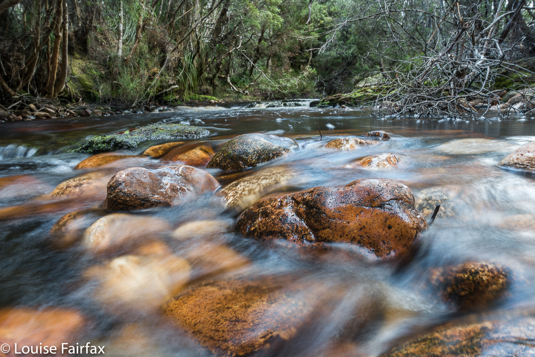
Our camping spot, Seven Mile Creek.
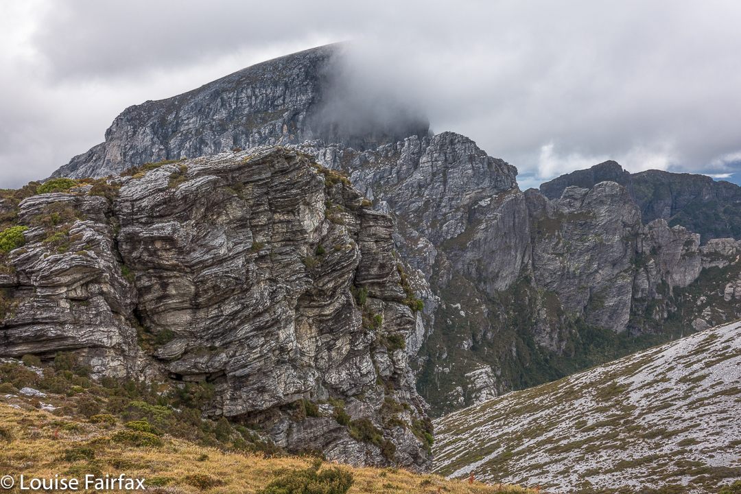
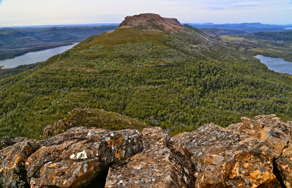
Mt Scorpio, stuck out there towards the eastern end of the Western Arthurs, has always had a certain allure. Perhaps it’s Dale Lisson’s photo in the Abels II book, with diminutive, rucksacked figures walking up a knife-edged slope, that gave birth to my feelings towards this mountain, and created a mixture of respect and fear, combined with a  desire to be on it myself one day, and to summit it via that edge.
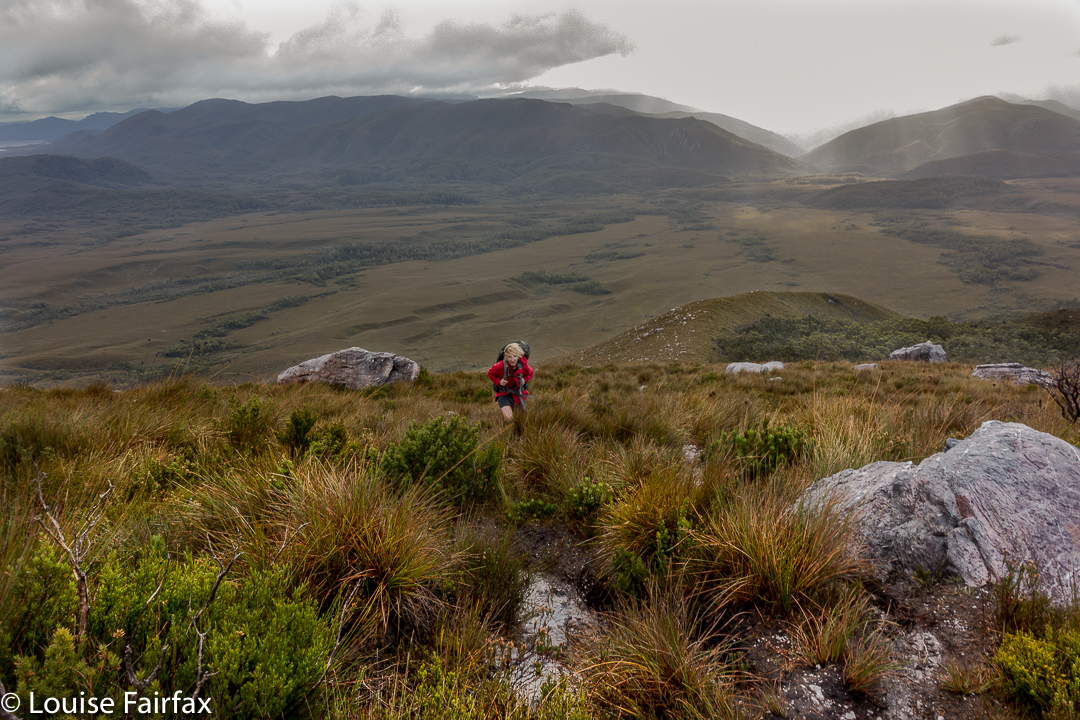

Climbing Kappa Moraine.
At last I got my chance this Easter. Unfortunately, a different book said not to climb it in wind. Even more unfortunately, the weather whipped up a beauty of a blast, together with mist and rain, on summit day. Oh well. That’s nature. She doesn’t cede to our desires.
On our first day, we had walked in over 20 kms along the MacKay track to Seven Mile Creek. It was not necessary to walk all this way – there is a Kappa shortcut in existence – but we decided we wanted to camp there this time; we’d go up the shortcut on our second visit to the area (we both envisage many visits yet to come). We knew the forecast for summit day was not good, but Angela is a working woman, and sometimes you just have to take what you can get.
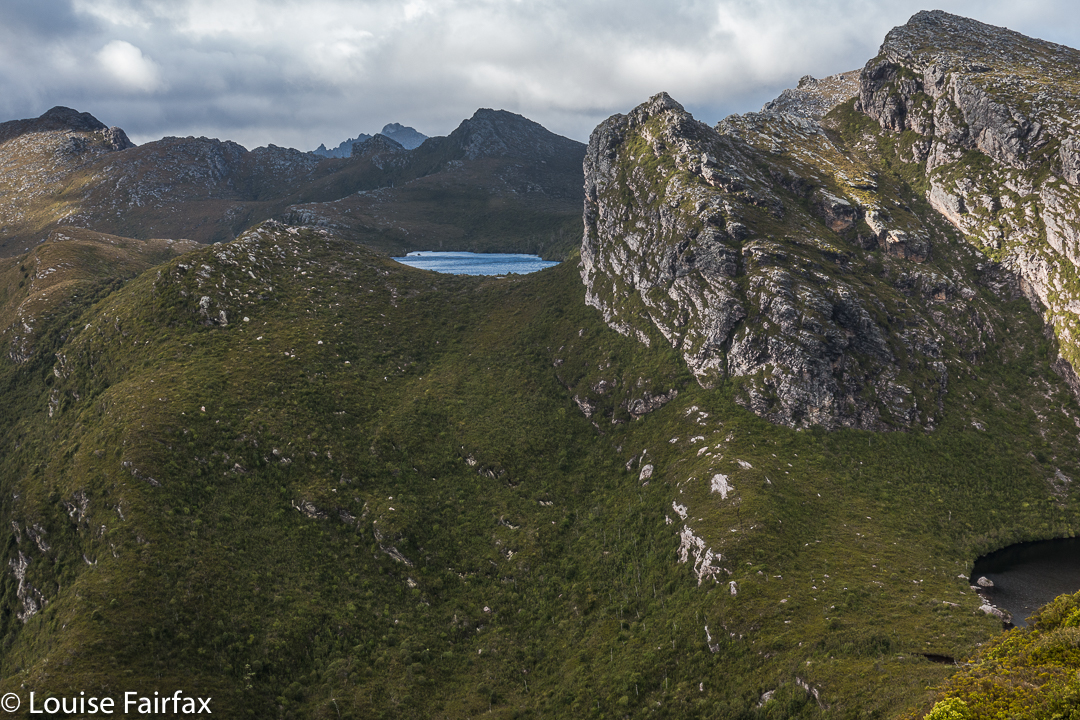

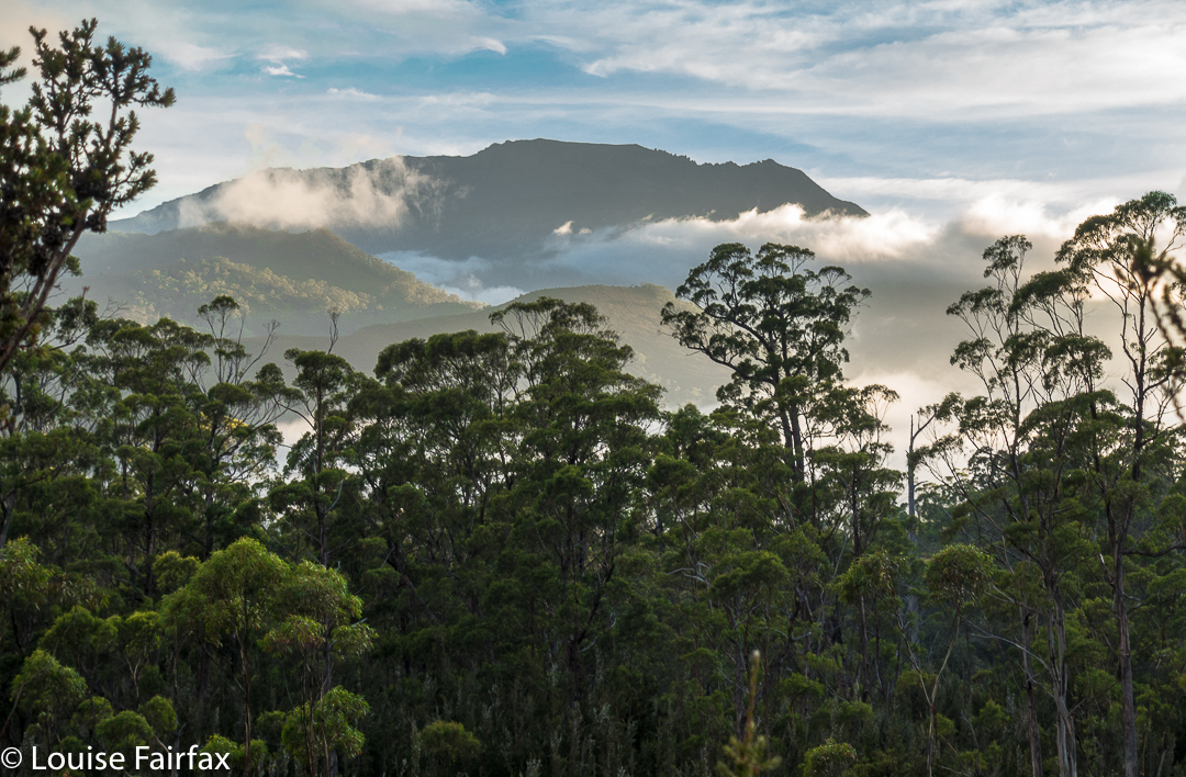
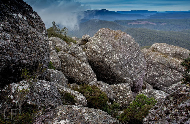
We both loved this glimpse of Promontory Lake before the clouds came in. I must go there one day!! And I must climb Carina Peak to its right.
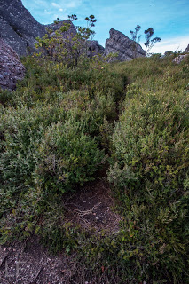
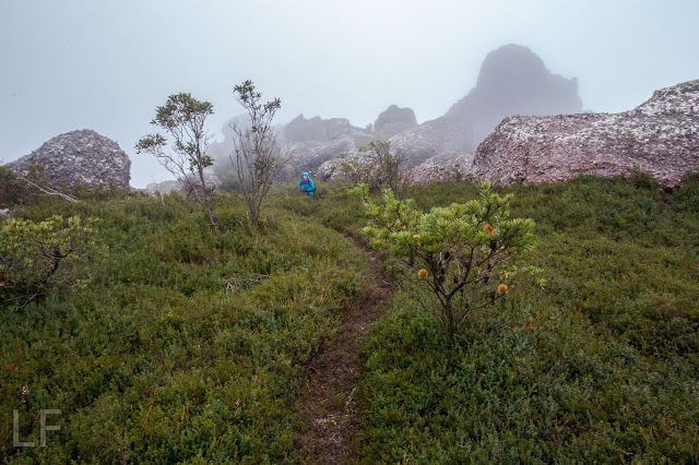
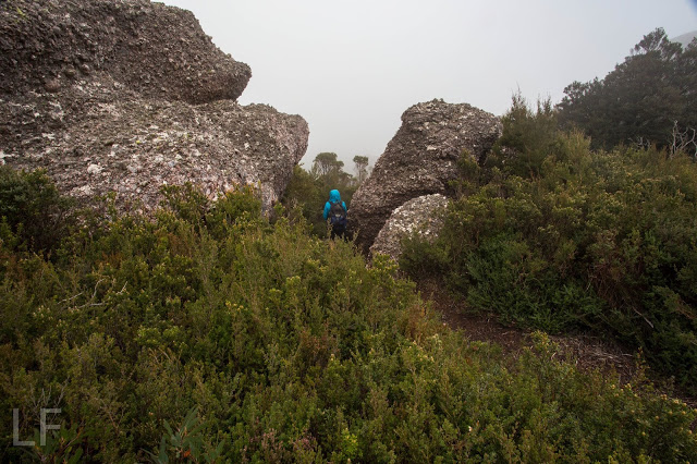
We were quite hopeful as we walked across the plains from our tent site next day (about one hour’s duration). It was cloudy – a little bit misty – but that was all. At last we were climbing, not having a clue if one of the mountains we were looking at was our mountain, or just a kind of prelude to it. We only got glimpses. We could feel the wind increasing, so, short of the top, donned extra layers in case it got wild up there. Good move.
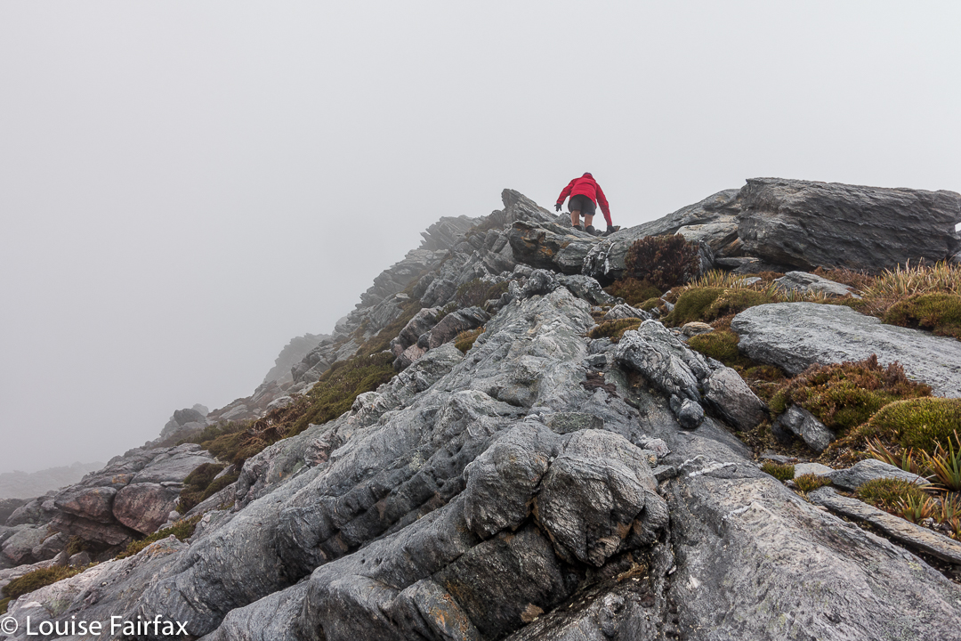

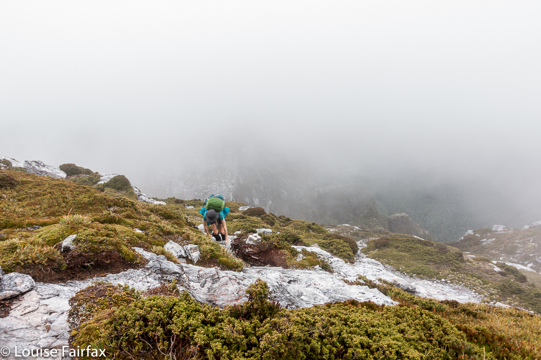
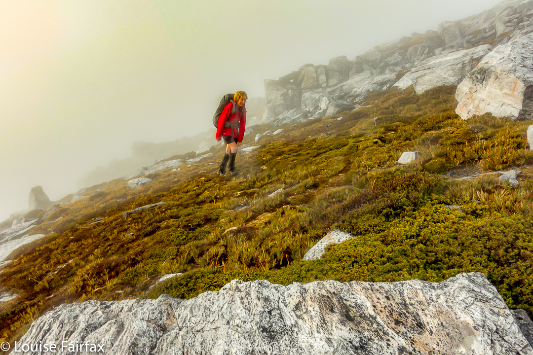
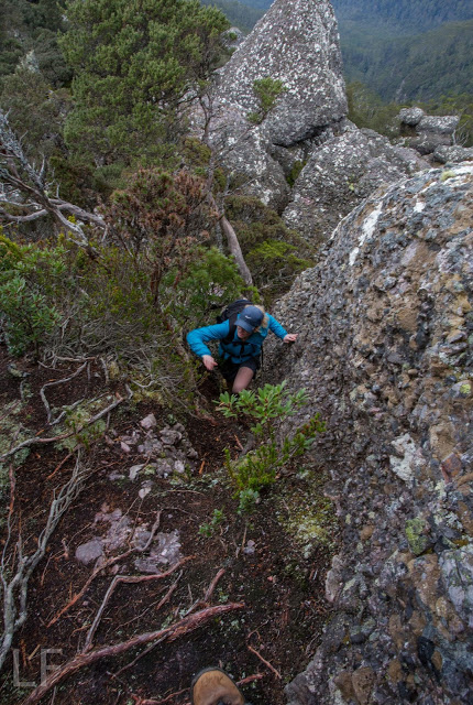
Angela climbing the final stretch.
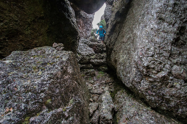
The Abels book implies that you just kind of walk straight to the top, but when we reached the nearer end, we could see no obvious route up, and certainly not the one of the picture, so I voted that we go to the further end instead. THERE we found the scene I was awaiting. I didn’t want to completely copy Dale’s image, so chose a different angle and asked Angela to please go on so I could photograph her on the dramatic slope. The wind blew more strongly.
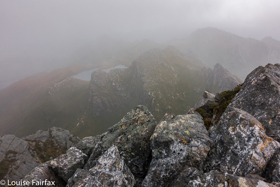

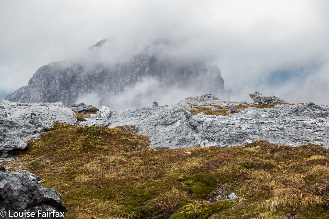
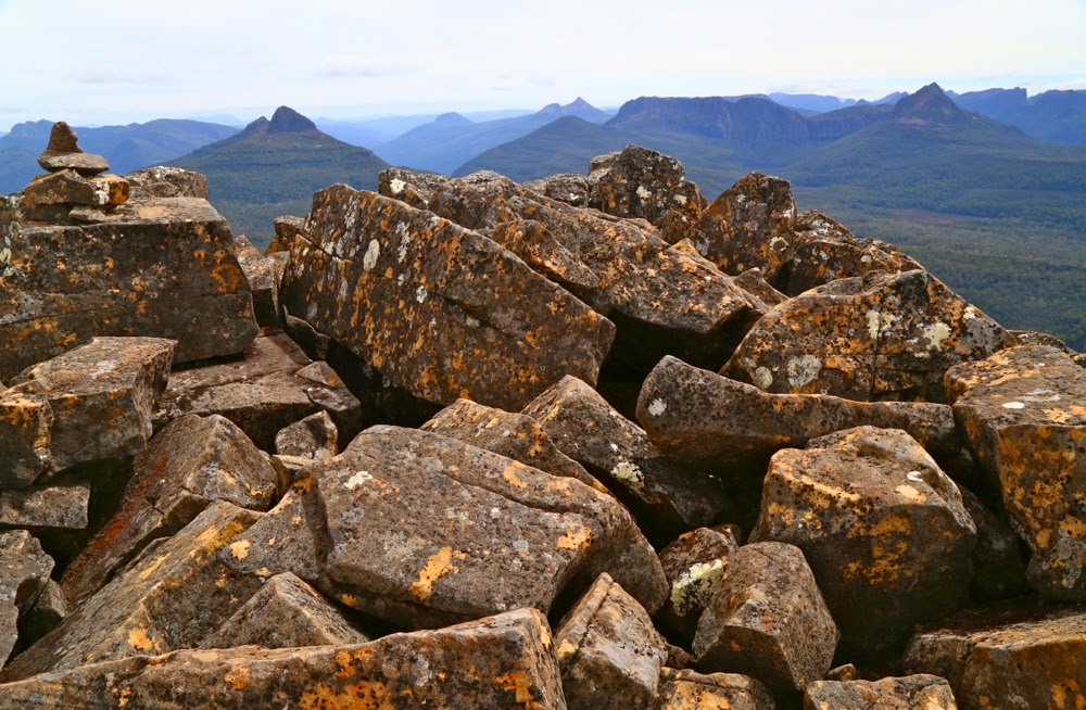
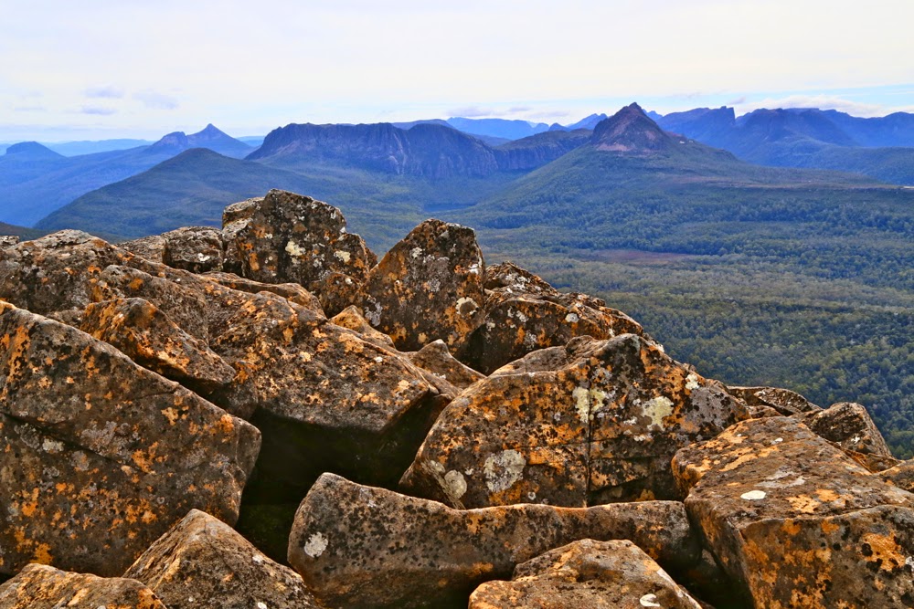
Summit “view”.
After she had finished posing for me, Angela ducked left, not enjoying the deadly drop down the cliffs to the east, and heeding the warning not to climb on the ridge on windy days. I followed up at this stage. I saw where she had gone, but was rather enjoying the airy space, and had plenty to hold on to, so kept on the blade. I got to the summit, photographed, wondered where Angela was, and began to descend, hearing her calling  me as I did so. The wind was so strong I couldn’t hear what she said, and neither did she hear my full answer.
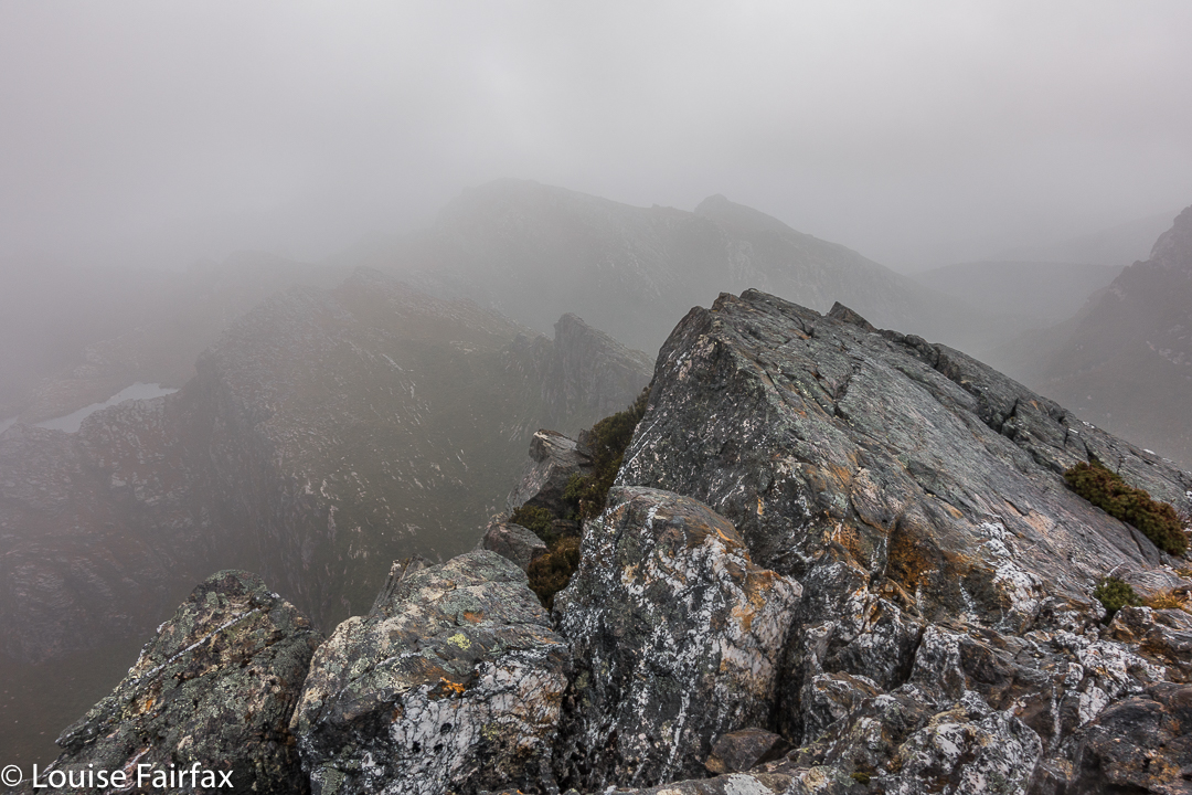

When I got back to her pack, and saw she was not there, mild panic set in. (She didn’t want the wind buffeting her rucksack, possibly knocking her off balance, so took it off for the final climb. On the other hand, I wanted my back protected from the iciness of the blast, and thought that if I fell, I’d prefer to land on my pack rather than my bones. If you could see the drop, you would know that whichever part of your anatomy landed first would be utterly irrelevant, and that pack or no pack would be of no consequence at all. Be that as it may, my pack stayed on).
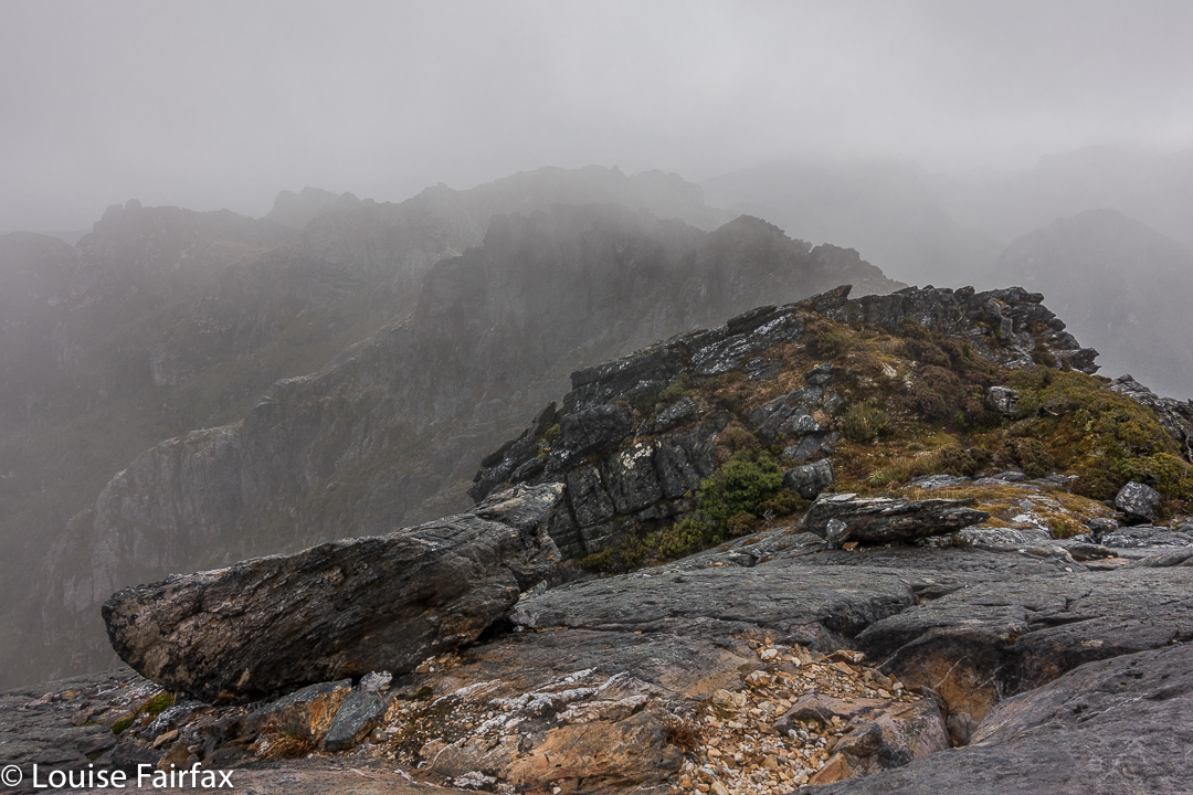

I was unbelievably relieved when I saw her emerging around the corner. Her yell had not been for help: it had been to tell me she’d found a cairned route up that was not exposed at all. She enjoyed her route. I liked the mild adrenalin rush of mine, as there was no real danger if you didn’t let go, and the handholds were firm.
All of those antics complete, it was now 10.30. We decided that, despite the weather, we’d continue on towards Aldebaran. However, with each step, it seemed, the rain got stronger and the wind more forceful. We had to cross a saddle before Lake Sirona, and in this stretch, I was blown a metre to the east on several occasions. It was taking all my might to fight the wind.
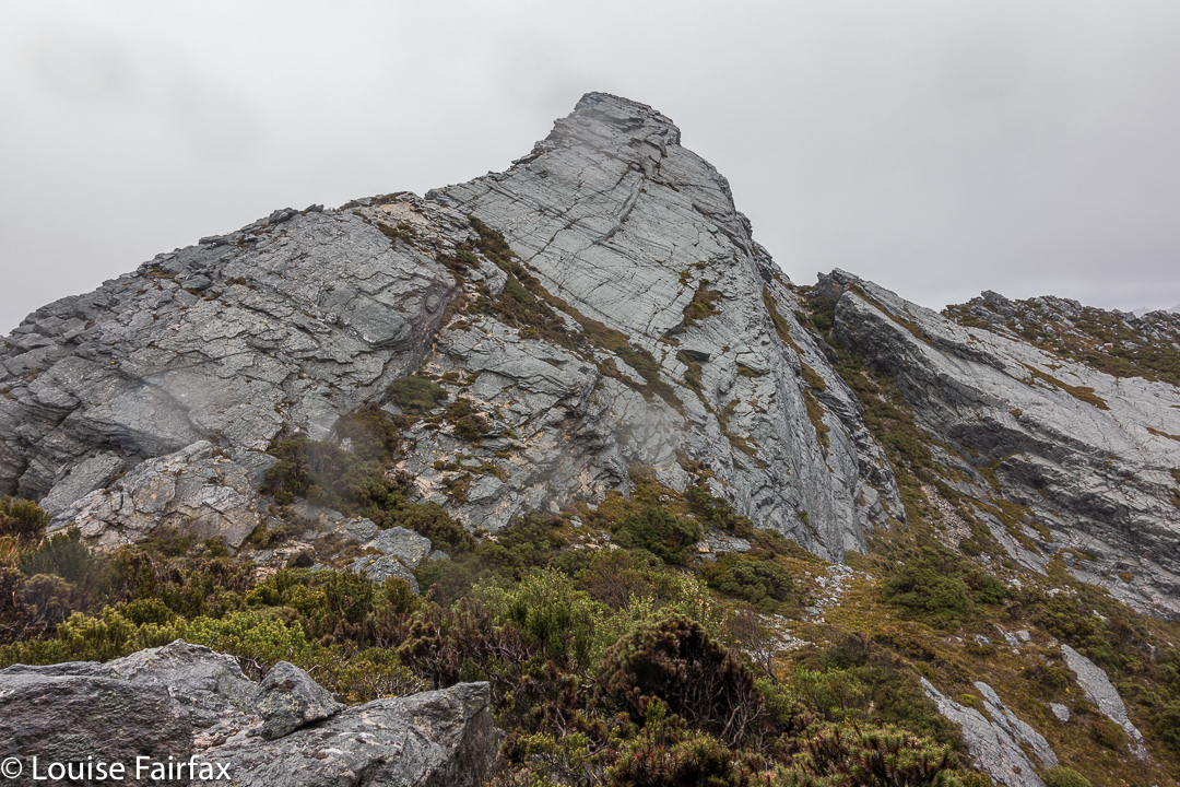

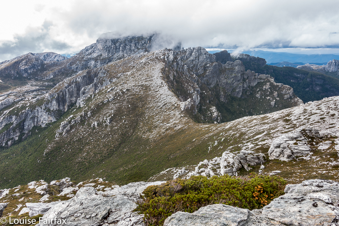
The knife-edged ridge from beyond.
Up we climbed, … up a chute which was quite slippery, but doable, and along to another saddle. Ahead in the gloom lay numerous lumps and bumps of unknown difficulty. This next saddle, like the one before it, had huge drops on the leeward side. I was now moving very slowly in my attempt to deal with the effect of the wind and to protect myself from a huge but terminal flying lesson.  I wasn’t moving fast enough to stay warm, despite my multiple layers of clothing. Reluctantly, I told Angela I thought I should quit. She was very obliging, and about we turned.
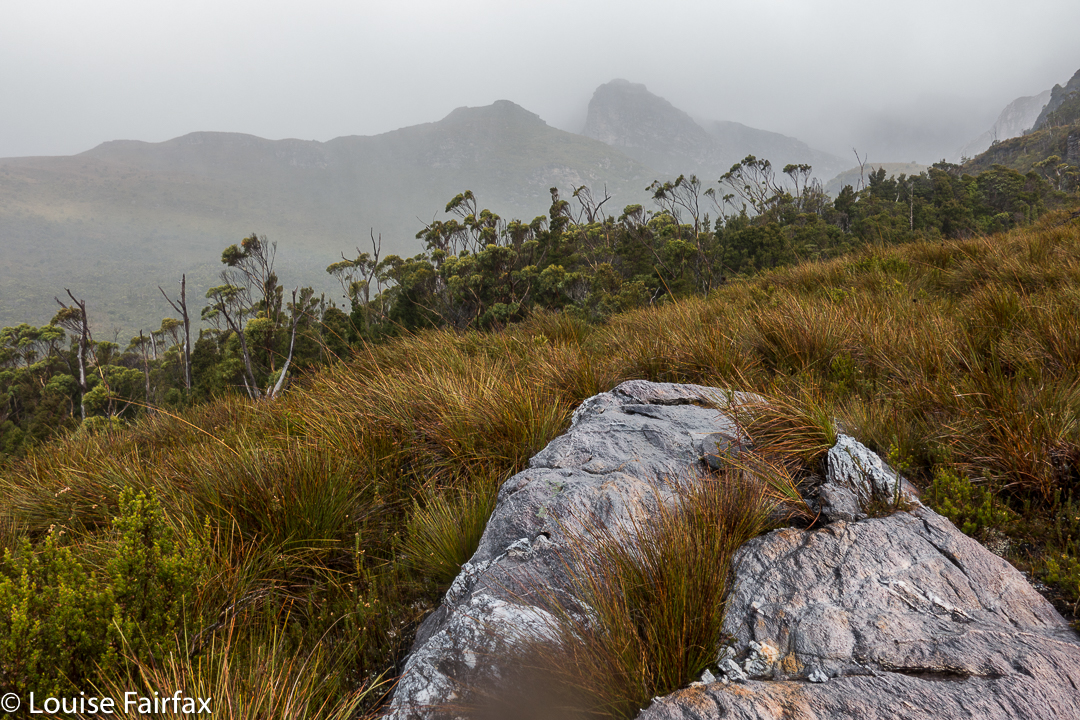

The way back was windy and wet, but as we got lower, I could move more quickly and thus stay warmer. It was far more fun being out there dealing with wild nature than lying in a cosy tent, that’s for sure. We were back mid-afternoon, and seemed to spend most of the remaining hours of the day eating, calling the food a variety of meal names.
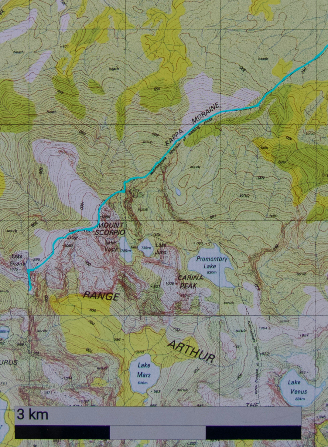
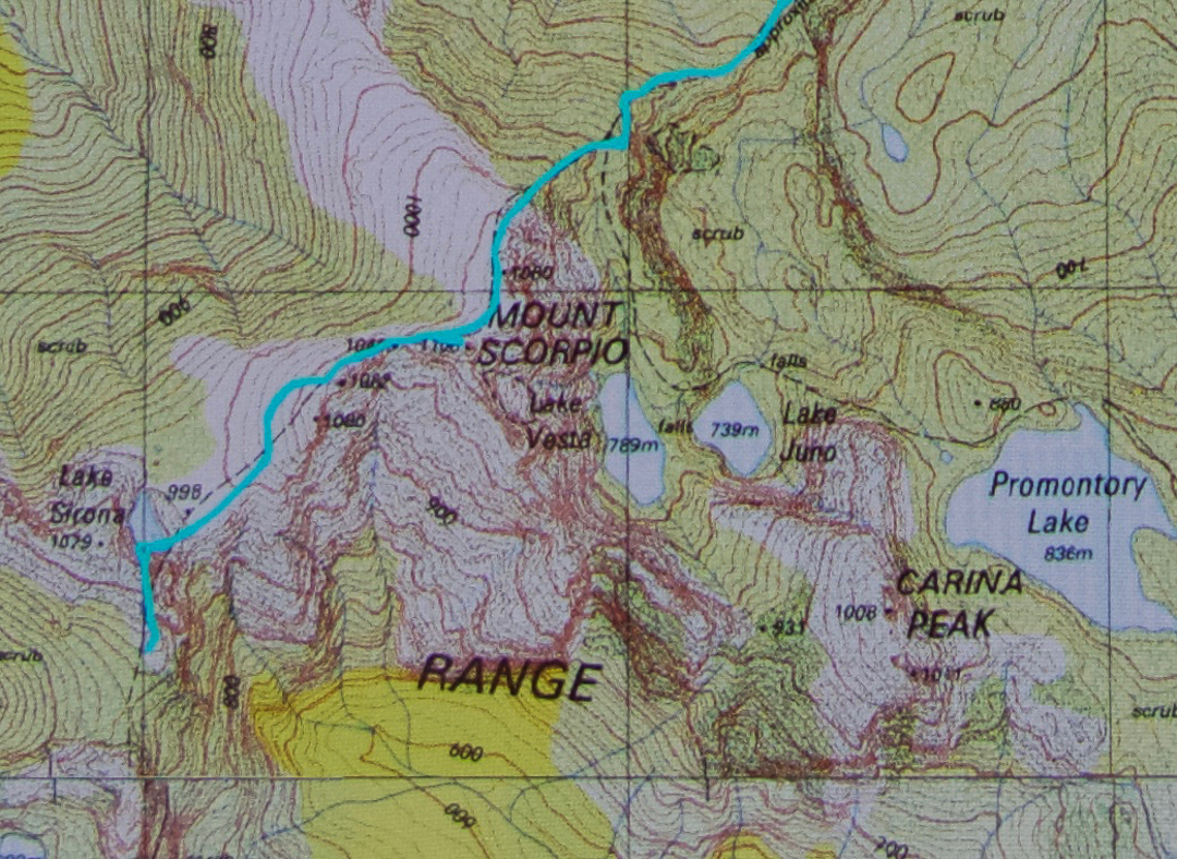
You can see we climbed the final stretch via the “back door”.
Clytemnestra 2017 Mar


Beautiful morning on day 1 to begin our mission.
When I first heard that to climb Clytemnestra one needed to drop over the edge of Frenchmans Cap, I was filled with horror. Do you know the cliffs that shape the Frenchman, my reader? They seem formidable from any distance. However, the notion of climbing all the Abels had been planted in my brain by my former climbing partner, and had taken root there, and if I wanted to achieve that goal (still not sure, actually), then I needed to conquer any misapprehensions I felt with regard to dropping off the Frog’s hat.


Climbing Frenchmans
Off Angela and I set on the start of this little mission, past Vera Hut too early for lunch, which we had upstream. In case you’re also there in a dry time of year, I’ll tell you that the last water after leaving Vera is about 45 mins up the track, where it crosses the creek for the final time. We arrived at Tahune Hut  mid-afternoon in plenty of time to choose a scenic spot for out tents, to organise our gear, and to go swimming (Angela) or to chat with others (Louise). I must have sweated a lot, as I needed a copious and salty afternoon tea, staring out at mountains reflected in the amber waters of the lake.


Our plan for day 2 of our venture was to set out at 7 a.m., but at 6 the continuing sound of heavier-than-we-liked rain had us push back the time to 8, … and then to cancel the idea of climbing altogether. However, at 10 it looked as though it might be clearing, so we decided to give it a go. Maybe this was a recce, maybe this was a climb. Time would tell. At least it was some exercise for the day.


Getting near our goal by this stage
We were on top by 11, enshrouded in thick mist, but decided to continue this recce business a bit further, and to try, at the very least, to find where we’d drop off the cliffs on the morrow, perhaps saving ourselves time then. We attempted two chutes that ended abruptly in dead ends (excuse the pun), but on the third attempt, managed to negotiate our way down the slippery rock with success, which meant we reached a knoll near the two tarns at the mountain’s base, 1 hr 10 mins after leaving the summit. I was still in recce mode. Angela didn’t comment. On we pushed, now proceeding up the lightly bushed ridge that connected with the main Frenchman-Clytemnestra one, and then contouring around its belly to avoid unnecessary climb. When we rounded that bulge the mist cleared enough to give us a brief glimpse of our grail – way, way closer than I believed possible. Angela was now excited and announced that this was no longer a recce. We were climbing this thing and now. I would continue forward, but reserved judgement on the certainty of success.


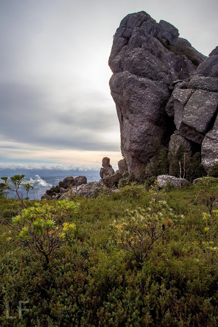
The cliffs of Frenchmans, teasing us while we had lunch on Clytemnestra
Into the final saddle, with only some cliffs between us and the summit cairn, I still refused to believe. Up, right, up, right, we climbed, walked, climbed, walked, until, truly amazing: there, fifty metres in front of me was the summit cairn. Only then did I allow myself to believe we were really going to do it. Ceremoniously we approached and touched together.


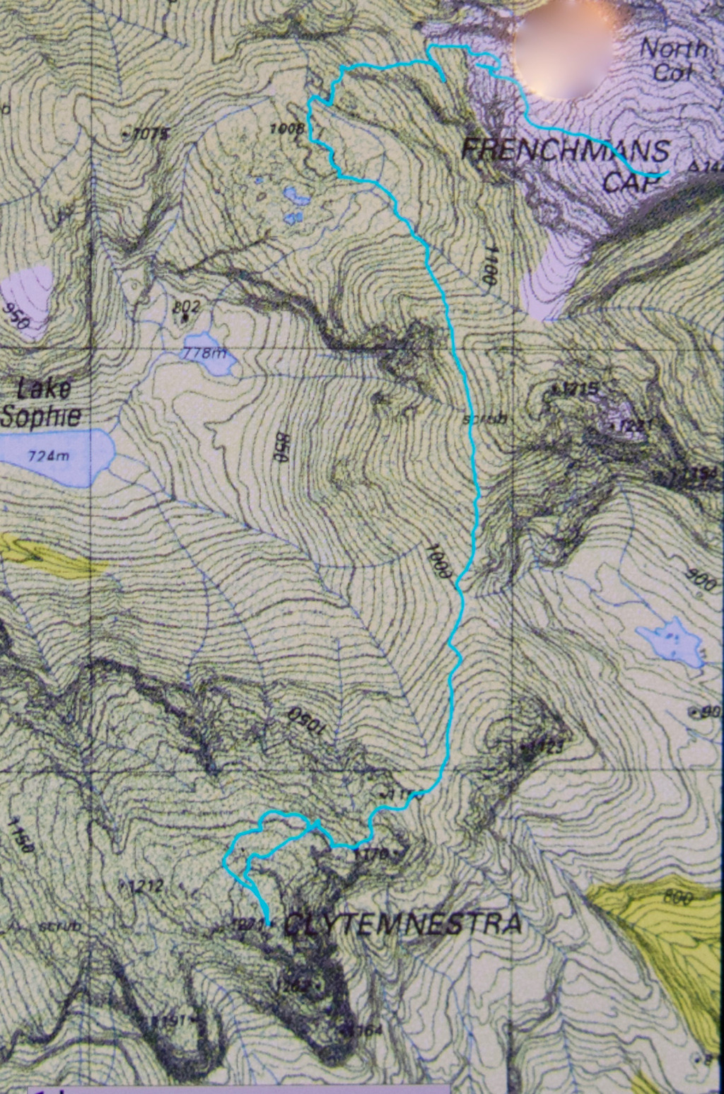
The route back to Frenchmans. We thought the mist was clearing!
We had lunch on top, watching the mist swirling around us, every now and then allowing a teasing half-glimpse of the silhouette of Frenchmans. At this moment, when I decided to consult my phone which had been tracking our route, I discovered that the battery was basically dead and I couldn’t even see the screen. Our homeward route was thus concealed, but, no worries, we have memories. Off we set.


We have to go over Frenchmans (back) before we drop down to our tents.
There were no mishaps until it came time to choose which chute we needed to use to climb back up onto the main massif. At that time, the mist was particularly thick: visibility was zilch, and it felt like hours later than it actually was, with so little light penetrating the thick clouds. I did not like this at all. It felt like these conditions were set in for the remainder of the day, and we would never be offered a glimpse of a possible route. We were in a nasty cliff maze with no perceptible way out.


Eerie light as the sun tries to break through (before giving up again).
Luckily, before we left home, I had emailed Hobart Walking Club and received a gpx route, which I had transferred to my phone, and forwarded to Angela, who had also downloaded it. Now was the moment to consult this route on the phone that still worked. We could see the other club-member’s track, and our position relative to it, and note that we needed to contour a bit to the east before we would intercept it, and then follow it due north for about 150 ms, when, with luck, an attractive chute should reveal itself. It did. The feeling of relief as we emerged on top, and I knew that we just had to keep climbing – no more chutes, no more difficulties – was enormous. As we climbed higher, safe and sound, mission successful, a kind of golden circle where the sun should be coloured the mist and lent the landscape a temporarily yellowed hew. Everlasting daisies, in funny, closed cups, shone silver in the tinted light.

Claude 2016 Apr

Mt Claude Apr 2016.

The view to the left before you leave the track to embark on the rocky climb
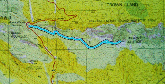
In terms of having intricate directions in the final stage of the climb, Mt Claude is one of the trickier mountains, so instead of my usual sort of entry, I am going to try to provide extra details in words and pictures to augment the already excellent instructions we had from www.bushwalk.com, the bushwalking forum. Despite their helpfulness, we did have two “detours” where we managed to stray, so hopefully the pictures and text below will help others who want to use this much safer route of climbing Mt Claude. I came across it last week and thought it looked fun. Angela agreed, so off we set.
Follow the main path (that begins on Olivers Road at the Lookout, and that, after you leave it, continues on the northern side of Claude, heading for Van Dyke) for about three kilometres, turning right and slightly down (ESE) where an arrow tells you to, rather than heading for the tower. We had a diversion to the tower due to not quite understanding the instructions. I’m not sad that I had the extra climb. It was quite interesting, but the excursion gave us a huge warning about how very slippery the conglomerate was today. I had already felt how greasy the rock was, but still got a horrid shock when I saw Angela’s foot come unexpectedly away from her in the descent back to the track, and she began gathering momentum as she fell. I watched in horror as her first attempt to grab something to arrest her fall failed. Luckily the second obstacle worked as I did not like the speed with which she was dropping. Of course, all this occupied maybe a single second, but it felt like an eternity as audience.
Back on the track we went to the south of the tower clump, and along to the flat saddle before the actual summit block. Below is a picture of where, in that saddle, you leave the path that continues more NE to drop down below the northern side of the impressive summit boulders. This little pad here goes to a slot that you climb up. There’s a cairn at the top, and the cairns were generally close enough to follow.

This is the pad you follow to exit the main track
Below you can see Angela climbing a slope, because I called her up. However once we were both up and consulted the notes from bushwalk.com she’d copied into her phone, we saw that we weren’t supposed to be lured by this steep, narrow path, so went back down. It was quite a nice little climb – not slippery like the rest of the day. However, if you get this view, you know you’re wrong.

Along and up we went, consulting the forum notes quite heavily now. They warned us not to proceed along the likely looking trail, pictured below, tempting as it is.

 Instead, the notes say, head for the sky, so that is what you can see Angela doing in this next image.
The notes then say that on the right, just a bit below where Angela is in the picture above, there is a turning to the right. Take it, and it leads to the entrance of the infamous cave. We were both a little apprehensive about how this rope section was going to be in such slippery conditions. Angela was worried about her knee that she’d hurt in the fall, and I wondered if my upper body could drag me up, if that was required, as I had had an operation the previous week and even running still hurts a bit, so my torso’s strength is compromised. Oh well, there was one way to find out.

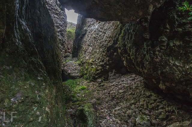
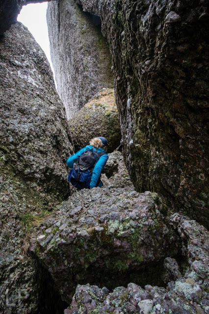
When we looked into the cave, it was dark and foreboding. At first our eyes couldn’t make out anything at all, but gradually the rope that we’d been promised could be discerned. I could see that it had knots and loops in it, so that would help. The entrance was very narrow, and we didn’t have a clue what lay ahead, so both decided to leave our packs behind – a very sad decision, as that meant no camera, and no food on top. The entrance was so narrow that we wondered, not for the first time that day, how large people managed to use this route. I took the rope, put one foot in the loop, and set out, feeling in the dark for the next loop. It was too much trouble to get my foot in, and my upper body was coping, so I used my knees against the rocks – they had better traction than my boots – and hauled myself up. The series of knots gave good grabbing points, and my knees found indentations in the rock that held me. It worked, although that method hurt Angela’s injured joint. Once up, the summit was very close, and we happily touched it. Thick mist was now rolling in, rising to engulf us. We wanted to see to try to find our way down this slippery dip of a mountain, so set out pretty quickly. I was starting to feel nauseous with anxiety at choosing a route blind. I also didn’t know how it would be lowering ourselves on the rope when the rock offered absolutely no grip at all. It was a long way to fall. However, on the descent, I found I could decelerate by leaning my back into the wall above, creating a bit of pressure to combat gravity.

Hoorah, soon we were down and gathering packs again (Angela is buttoning hers up in the picture above). I wanted to get below the rock section before stopping for our snack so as to ensure visibility. It was with enormous relief that we sat with the view below, still rocky enough for beauty, but by this stage, all the potentially tricky route finding had been accomplished, and, although we were cold, we made time to eat. I needed to eat to relax more than to fill my stomach, I think.

Snack view, down low and out of danger of further falls
In front you see the pad that we followed to do the climb. Angela is standing at the pad-path intersection waiting for her friend who is now taking rather a lot of photos.

Goodbye pretty boulders. They really are wonderful if you’re not climbing up them when they’re moist.  Down we climbed, both looking forward to the food we were anticipating at the Raspberry Farm, which is fast becoming a traditional calorie replacement station.

I’m not happy with the clarity of this. I’ll add a map of just the last section in the morning. Hopefully that will give better detail.

Alma 2015 Jun

Mt Alma. 4 June 2015

The lookout towards King William I, Pitt and Miligan as seen from the highway, not too far from where we started.

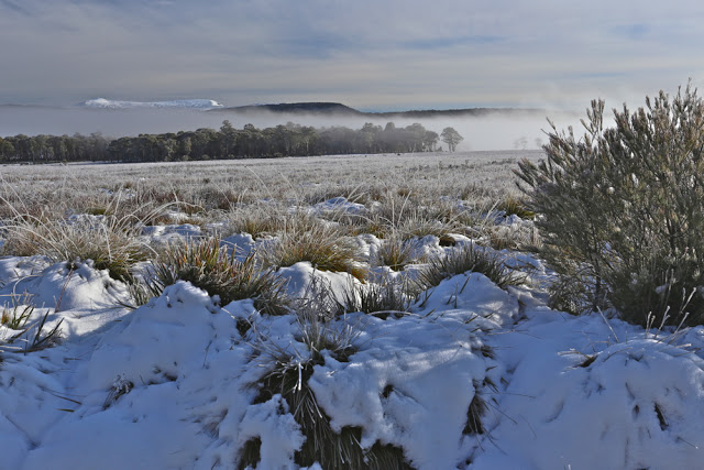
 Dark shapes appeared out of the mist as I drove towards the Western Tiers, heading for my render-vous with my HWC friends at Derwent Bridge. The skeletal forms of wintry trees floating in the mist were very beautiful, but I had no time to stop for them. As I expected, the bends on the Poatina road would rob me of the extra minutes I had allowed. 10 kms/hr was all I dared as I negotiated sharp turns of pure ice. The land up top was white and perfect, but again, I had no time to spare. I just had to admire it as I continued on my way. I’d left half an hour early, but was perhaps now running a little late.

Looking towards Mt Rufus as we drove to our destination.

Phew. There they were waiting for me. Now we could proceed further towards our goal, Mt Alma, on the other (northern) side of the road to Frenchmans Cap and along past the car park to where the main southern spur from Alma intersects the highway. Our mountain from the road was, as is often the case, a matter of belief in maps rather than something we could see for certain. She lay back there, up there somewhere.

Part way up the first rise

Up we climbed in good spirits brought on by a new adventure, through the frozen grass that melted and saturated when it came into contact with our warmer bodies. The views back towards Frenchmans were splendid, especially as we were lucky enough to have wisps of clouds below us and a snowy white beret on the famous French gentleman.

The white-bereted gentleman himself

After morning tea at the first hilltop, we dropped, past fascinating rock formations to a saddle, from whence the final climb began. The going was slow, as the bush in this section became quite dense. It seemed odd to climb up from grassy slopes into thick forest. On this particular day, every time you bumped a bush, it threw snow at you.

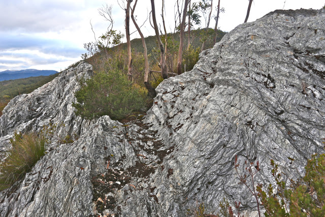
One of many fascinating rock formations on the first section of the climb (before we dropped to the saddle).

Already we could see and feel the day changing and clouds were rolling in. Unfortunately, by the time we reached the summit and got to picnic and enjoy the fruits of our labour, the interesting detail in the landscape had all but vanished and outlines were smudged; pleasing lighting effects were nonexistent. I didn’t even bother to photograph the summit, and stood for lunch, preferring not to eat sitting in snow. The trip down was very quick indeed. I think everyone wanted to finish the mountain’s work before the rain began. The views on the way up were definitely the climax of this mountain.

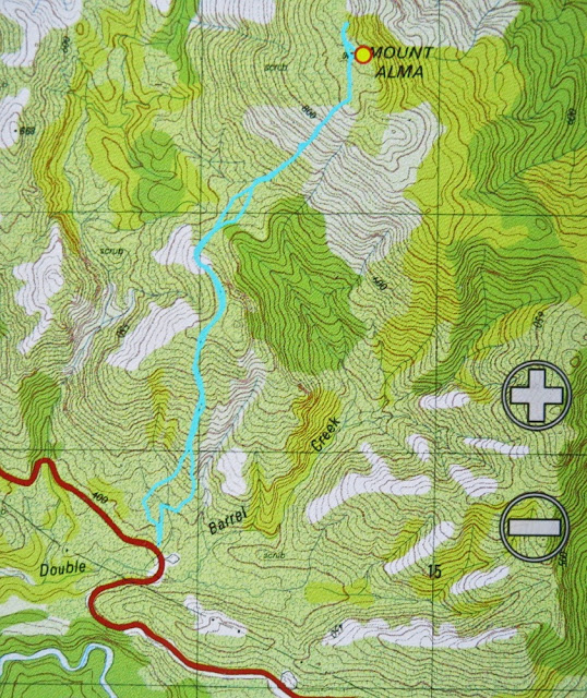
That bend where we parked the car is the second bend after the Frenchmans Carpark, but if you can’t read maps well enough to locate it, please don’t climb this mountain unless you are with a club. There is no path to guide you. You’ll see that we went beyond the “black dot” marking the mountain on the map. That’s because where we went was the highest point on the mountain, but we visited the black dot as well, so as to say “hello” to both points. Quite frankly, the lower black dot was a more interesting place than the highest point, and offered what I thought was a better view.

Byron 2015 Mar

Mt Byron Mar 2015 
The reason I climb mountains is because I love being up high (I also love climbing trees); I adore the physical act of climbing, and my soul delights in being with nature and gazing at sublime infinitude.

I am also, however, a task-oriented person, who likes to achieve the goal for the day. After two failed attempts at the summit of Byron in as many tries on club walks, it was time to be my own boss. I wanted success this time. I’d look up how many points I got some time or other. The summit was my goal.

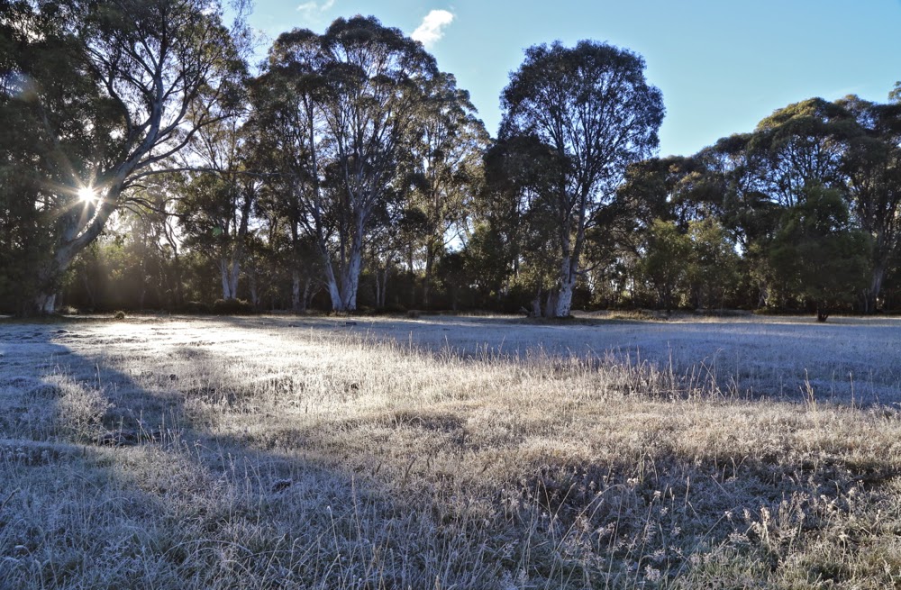
First official day of autumn. Frost says “Good”.
The trip to the ferry “threatened” to be the highlight of the day. Sunrise was magnificent as I drove up the Poatina Rd to the central highland; on top, autumn announced its arrival with glorious patches of sparkling frost. Lake St Clair (Leeawuleena – magnificent name) was shrouded in mist. It was going to be a gorgeous day. A temporary dampener, however, was put on matters when Steve, the cheery, affable ferry driver, informed me that he was finishing up at the end of the week. I wonder if his employers understand what an amazing asset they’re losing. Steve’s friendly and knowledgeable trips have come to be a grand entree to every expedition in the area, aiding in the excitement of each venture.
You don’t replace someone like that easily: a new ferry driver, sure, but an asset like Steve … ever?

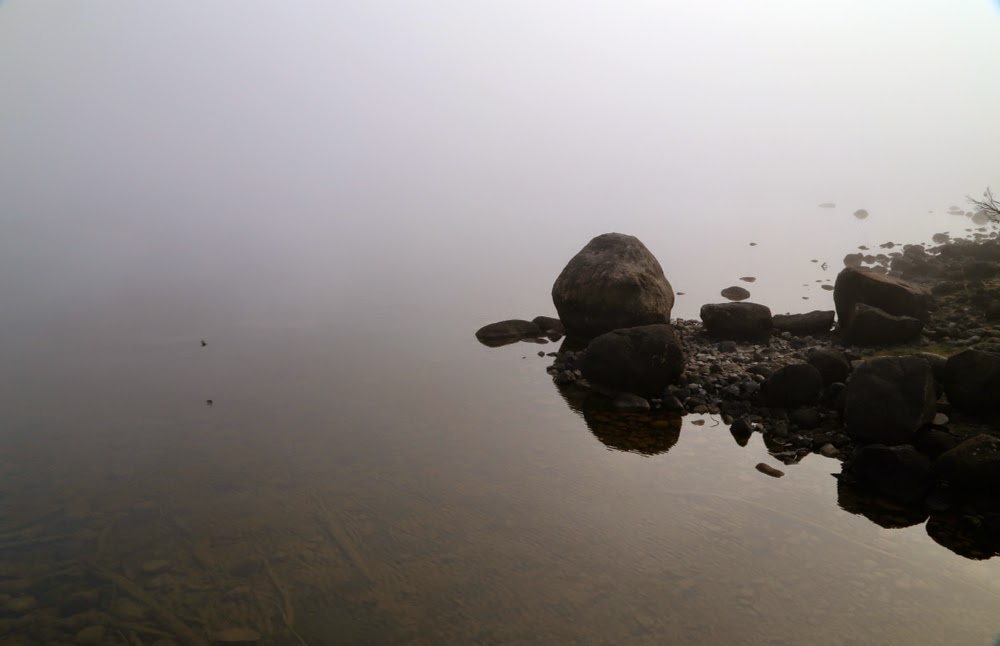
Leeawuleena (Lake St Clair).
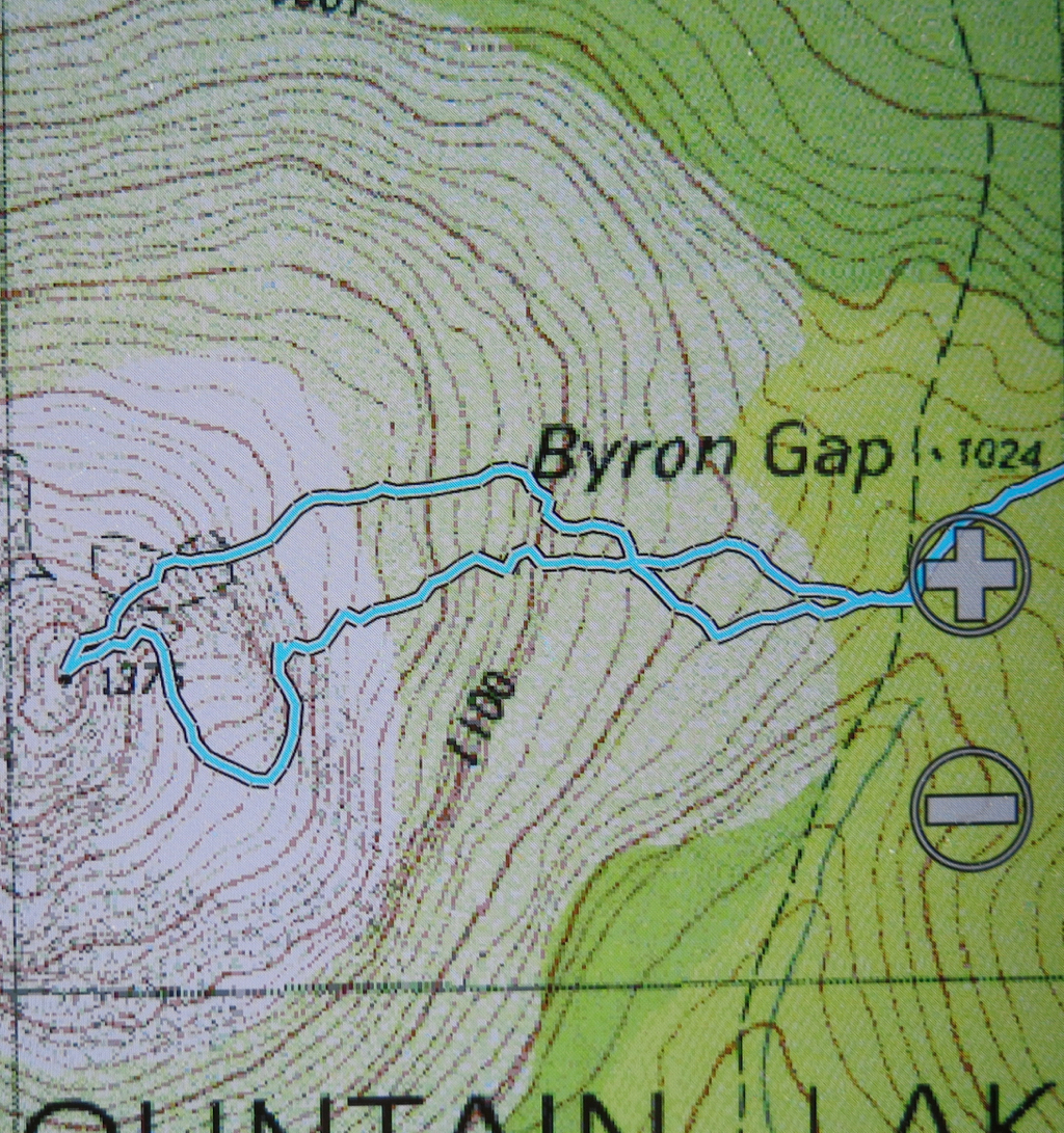
I love the forest lining Leeawuleena – always so rich, lush and vivid in its greenness. Happily I strode out, staring intermittently up at my mountain, and at all the old friends that surrounded my journey. Unfortunately the atmospheric mist had already evaporated. It took 17 mins to the turn off; and 59 more up to the top of the Byron gap, where the real work would begin. This is the third time I have walked this “track”, yet I managed to dream my way off it twice on this trip. Fortunately, the first time was right near the start, so I turned on my gps tracker in case I should need it on the way back down. The black dashed line for track on the map bore no resemblance whatsoever to the track I was marking. I was glad that I wasn’t trying to navigate myself to the line on the map for safety.

Paths like this require constant attention to stay on them.
After the gap, I had to make my own way to the top. There was talk of a cairned route if you happened upon it. I didn’t, so nosed my way to my left through pretty thick scrub and along a rather precipitous cliff-ledge until I came to a promising looking gully leading upwards. Happily, my map indicated that this could be followed to the final summit mound (which would hopefully not be fortified by more unmapped cliffs. One never knows on maps that don’t back up photogrammetry with cartography). The map certainly didn’t tell me that the rocks comprising this backdoor entrance were wash-machine size, with some heaving needed sometimes to get to the next layer. I began to worry about the return journey and the still existing possibility of getting trapped with no retreat reasonable. I hankered after a nice easy cairned route. I sensed the effects of adrenalin.

Byron’s pandani forests are a delight
The mound ahead looked as if it could contain the summit, but I didn’t dare invest too much hope in this. Too often such mounds lead to a view of the next, higher one. This one, however, offered my approaching form a sighting of three little rocks perched atop one another. I had made it.

Looking at Manfred, Horizontal Hill, Guardians, Gould, Geryon et al
I actually felt nauseous with anxiety, as the descent still lay before me. I didn’t linger on top like I normally do, just in case I needed lots of time to find a way down. Besides, lunchtime hadn’t quite arrived yet. I took photos and then set out to try my luck on the return journey. This time was different. I happened on a cairn on my chosen early section, and one cairn led to another. Eureka. This route was SO easy. It was 30 mins faster than my way up – most unusual for me. I usually ascend faster than I drop, due to my eagerness to see the top and my hatred of stopping before I’m there. I am not normally happy to leave, so dawdle a bit.

View to Horizontal Hill, Guardians, Gould, Geryon and more
In the safety of the saddle, all work behind me, I enjoyed my lunch, looking out at Frenchmans Cap.  I was easily in time for the afternoon ferry, except that it had been cancelled. I was the only customer. Now began the long walk home. No matter. The forest is wonderful. I slotted into my rhythm, walking and singing my way through fairyland back to the visitor centre, where I enjoyed a delicious veggie curry before embarking on the drive home in the fading light, shooing countless conferences of wallabies, all sitting erect in the middle of the road chatting, unwilling to have their colloquies interrupted by a mere vehicle. I stopped to let each group finish its important discussion. My speed ranged from 0 to 50 km.p.h in deference to their need to converse on dirt road.

An unusual perspective on Olympus, with Leeawuleena and Lale Petrarch balanced on its outstretched arms.
The challenges of the day, apart from driving, climbing, and avoiding garrulous marsupials, involved walking 36.5 “kilometre equivalents” (where 100 ms climbed = 1 km equiv). Quite an active day.

The more southerly route is me fumbling my way to the top, edging around cliffs. The northern one is the cairned route. which I happened upon up the top.