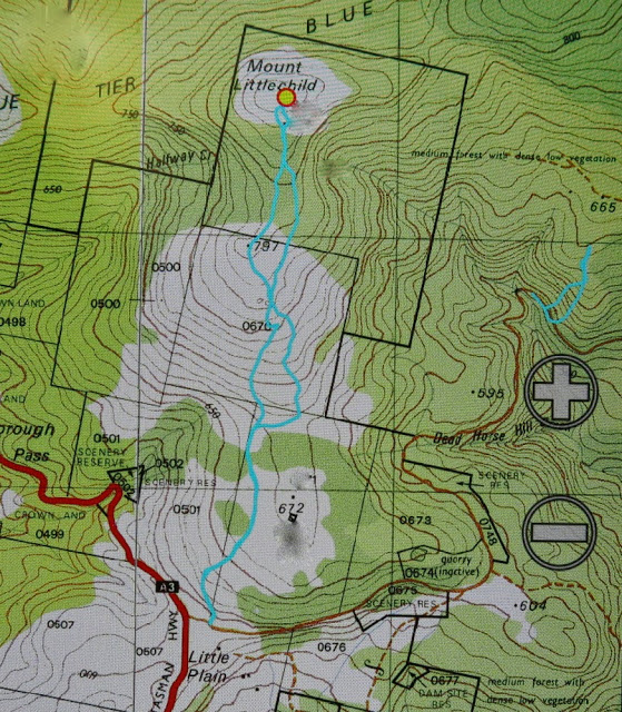
Blue Tier, otherwise known in some circles as Handley Peak, and in others, as Mt Littlechild (if you listen to the locals or read the old maps) is obviously a mountain with an identity crisis. Well, I think it’s fine: it’s the humans naming it who seem to have the problems. The peak I climbed is called Mt Littlechild on the map (see below), but there is another black dot on the map without a name, and peak baggers insist that it is called Mt Littlechild. If you go to natureloverswalks.com/mt-littlechild/ you will find the extension of this walk that encompasses that black dot.
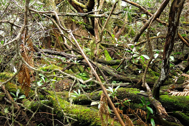
 The first part of the “false route” – delightful fern forest.
It’s ridiculous, how excited I was as we packed for Mt Littlechild. You’d think I hadn’t been out climbing a mountain for weeks – and yet the pleasant memories of Mt Weld were still resonating happily around my core. There were two reasons for this possibly absurd excitement: (i) my normal love of being in the forest and up a mountain, and (ii) this was to be my husband’s first walk since he got injured in December. Some eras are good to end, and this was one of them.
Mt Littlechild also had its own excitement. For a long time I had been wanting to see the Blue Tier, the preservation of which was fought for so thoroughly by those who know and love it. I have also seen many images of the fungi that can be found there, and hoped to be a happy hunter myself. In addition, I was curious to see the much-feted Welbdborough Pub, which was to be our post-walk reward.
Being a diligent little researcher, I had done my homework and written to a member of the Save the Blue Tier society, asking about the best way up this mountain, as there is no track on the map. Perhaps a new one had been created, and if so, I should use it. She kindly wrote back giving me instructions and confirming that there is still no track, but told me to start at the junction of the A3 and Little Plain roads. However, when we got there, what we saw was a farmer’s paddock, and the map showed that this was in no way the shortest distance between road and summit. I decided to try and straight line it from further on; no need to prolong the fight if the forest was thick.
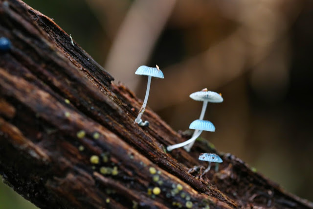
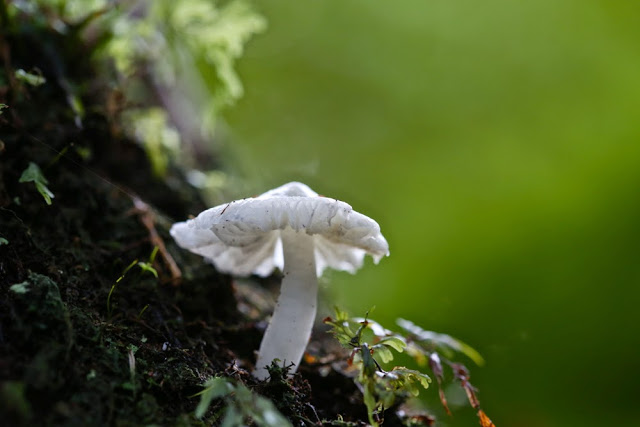 Hygrocybe mavis, White splitting waxcap.
The sides were so steep that our first opportunity for going “straight up” came further along the road than we wanted but it seemed, with respect to contours, a reasonable route. So it was. We climbed quickly and easily to the 600ms asl mark, after which we landed in a tangled and impenetrable wall of muck. My map said “dense low scrub”. Maps don’t often oblige with this information. I hadn’t noticed it before setting out. We reasoned that there must be a nicer way up this mountain, and descended, deciding to actually obey the instructions we had so kindly been furnished with, park where our informant had suggested, and stop the fancy shortcuts. Good move.
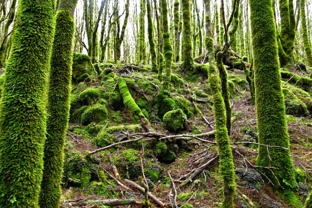
We entered the paddock that had at first looked somehow foreboding and walked up the indentations made by a heavy farm vehicle. Up, up we easily climbed, following the tyre marks past the first broad flat section of the spur and up the next steeper spur towards a rocky outcrop which had a height mark (787 ms) on the map. The whole thing felt more like a Lake District ramble than a Tassie bushwalk. This is a very cheap way of travelling to England. We loved it. The tyre marks had petered out by this stage but the contours were perfectly clear. On we went to the saddle that now separated us from our Littlechild goal, and then, for the final climb, we entered a patch of myrtle forest. After the experience of earlier in the morning, I was wondering how much of a fight this would be. It was a magic fairyland with no fight at all. Just pure moss and beauty (and fungi).
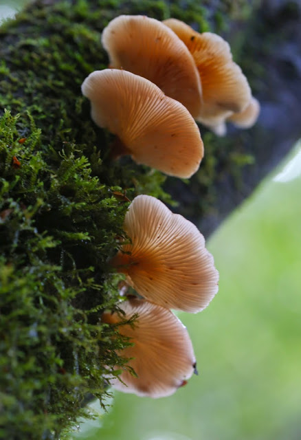
Panellus longinquus
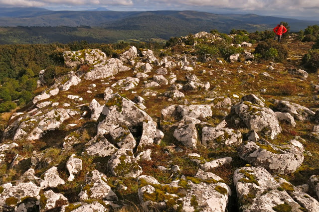
The summit itself was clear enough to give us a view, and I was excited to be able to see the sea, as well as many other mountain friends around. The exercise was amazingly short. We took 26 minutes to reach the myrtle forest, and 12 more to reach the summit. The splits were the same on the way down. There was nothing taxing or arduous in this walk (we only climbed 276 ms) and I can thus thoroughly recommend our final route to families. As we walked 5.4 kms, I guess the youngest child should be four or five, as the advised daily kilometres are supposed to be no more than the child’s age, and I think that’s a good rule of thumb for tiny growing bones and muscles.
For the second week in a row, the forecasted rain began just as we reached the car. We watched it falling, once more snug and warm, while we ate our lunch at the famous Weldborough pub. It is my personal belief that if we don’t want people destroying forests of beauty in order to make a living, we need to support them in their endeavours to earn money in a less destructive manner. We always try to eat at pubs and cafes in places like this, to support local alternative initiatives. This one did not disappoint. Unfortunately the beers and ciders for which they are famous were not tried, as they do not suit the fact that I had to drive home, but don’t worry: there was still plenty left on the menu.
Please also note that although the map says this is Mt Littlechild, it apparently is not, and if you search Littlechild in my alphabetical index, you’ll see the story of the real one and not this imposter. The real one, the highest point on the Blue Tier, lies just off this map, past the saddle to the E-NE of this summit. There are tapes to lead you into that summit, after which you need a compass. It is not hard.

