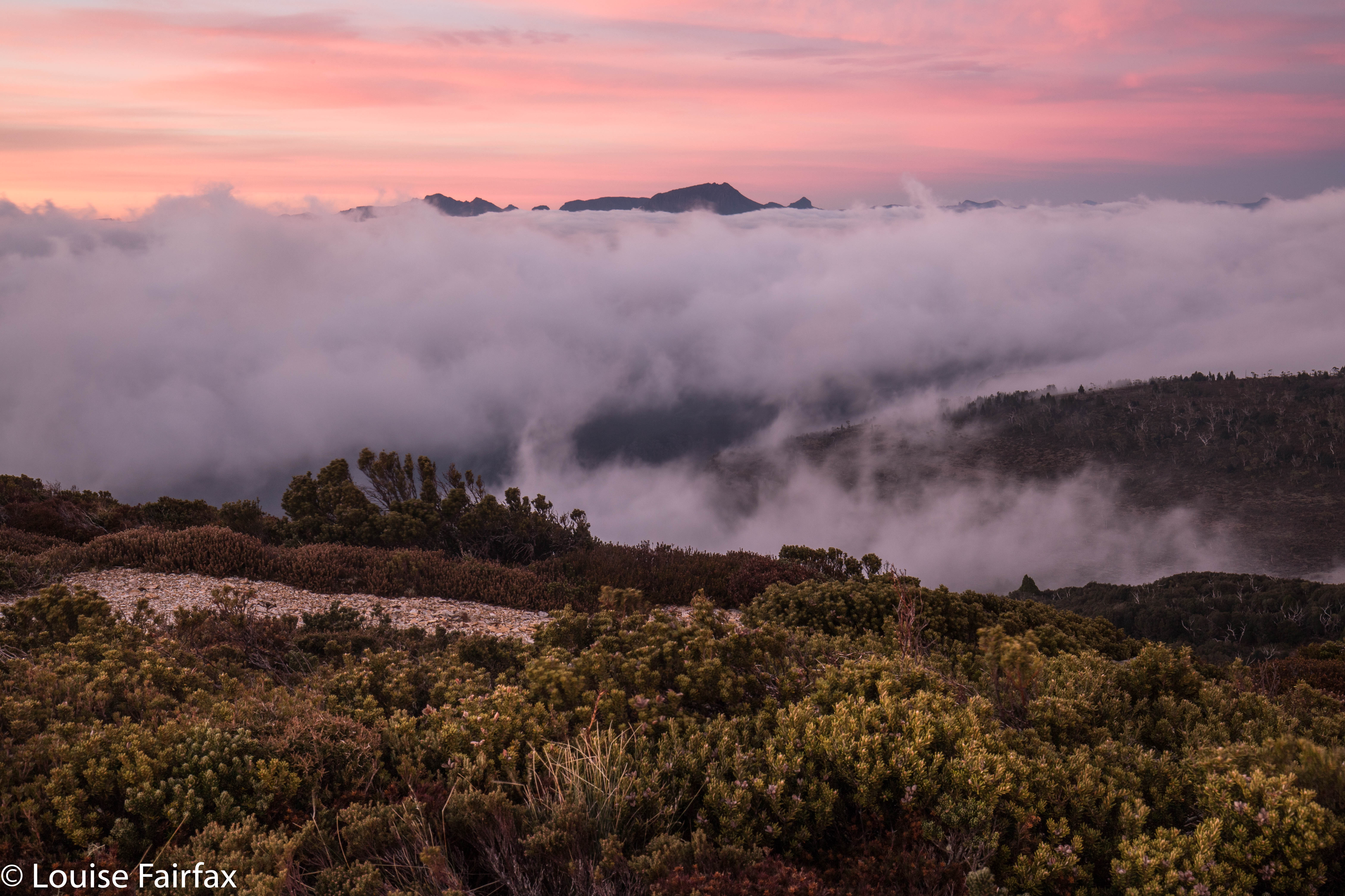
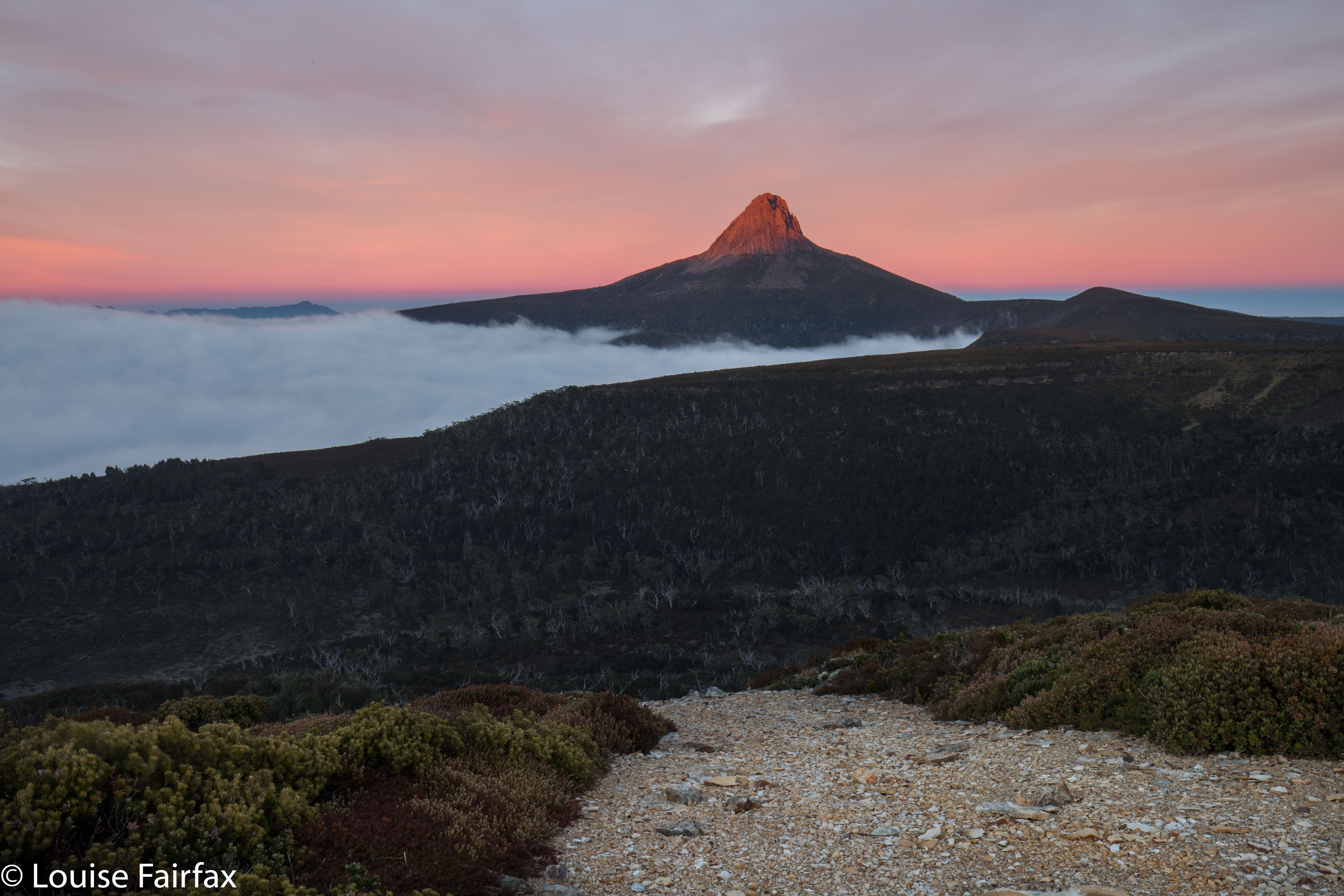
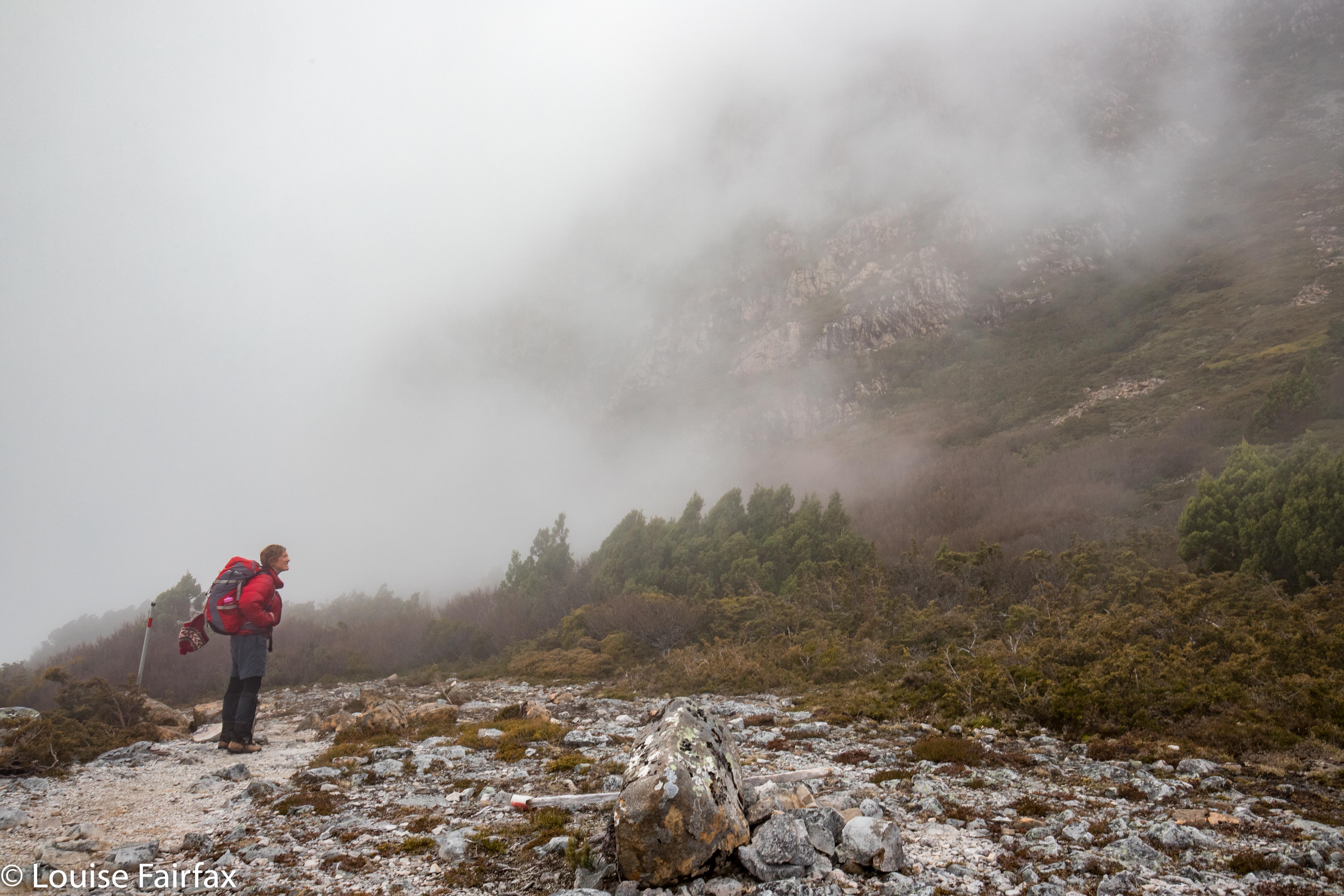
Sharlands Peak, Frenchmans Cap 2021

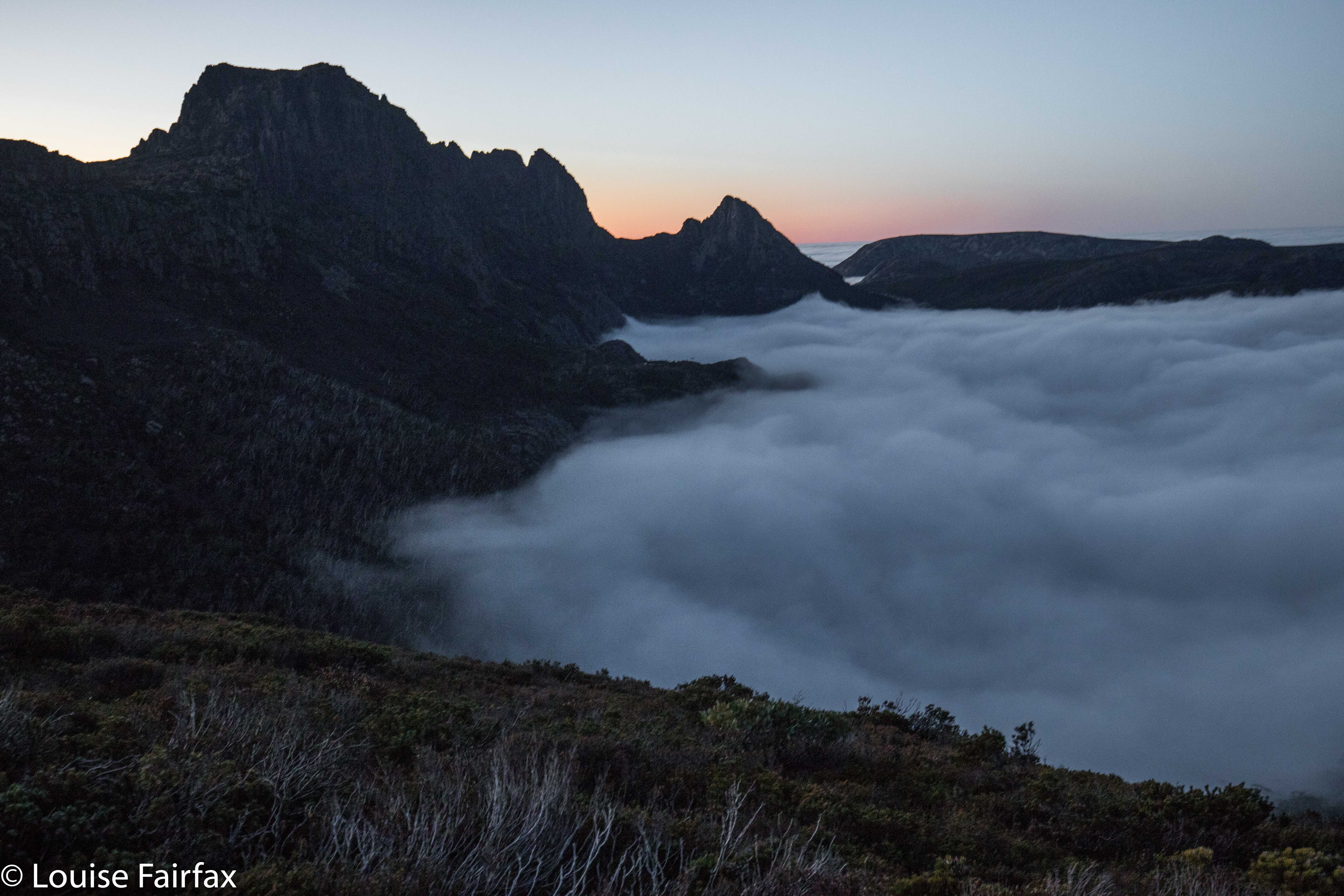
Here we were at another saddle on our supposed climb of Sharlands Peak. It was another dead end with a drop to certain death if we took another step, or peeped over the abyss too enthusiastically. I took another photo to match the mounting collection of “failure saddles”, sighed a meaningful sigh, and withdrew. Again. How many saddles were left for us to try?
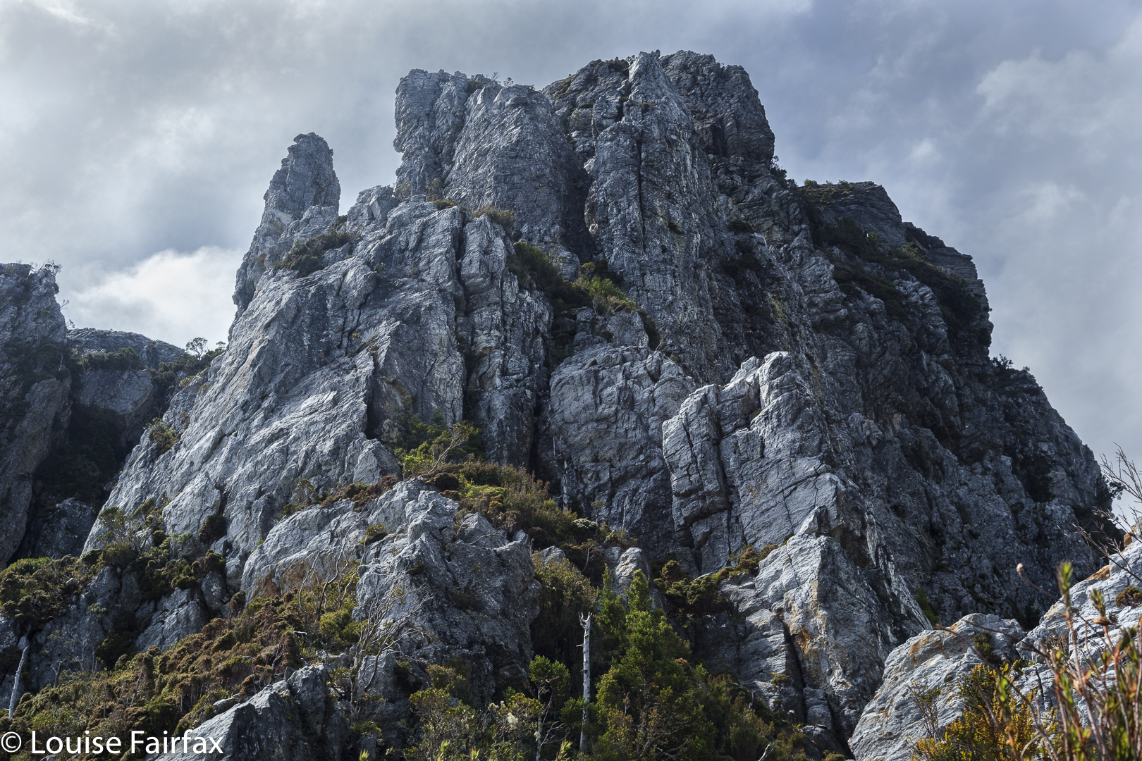
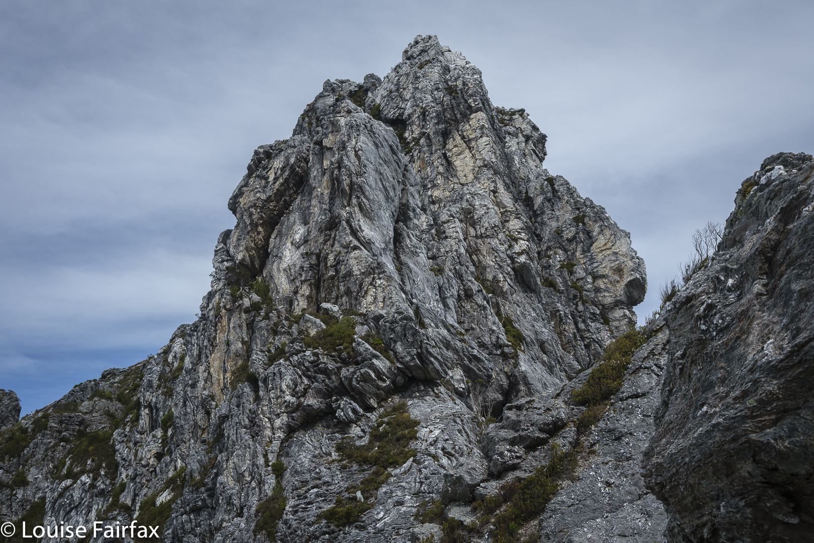
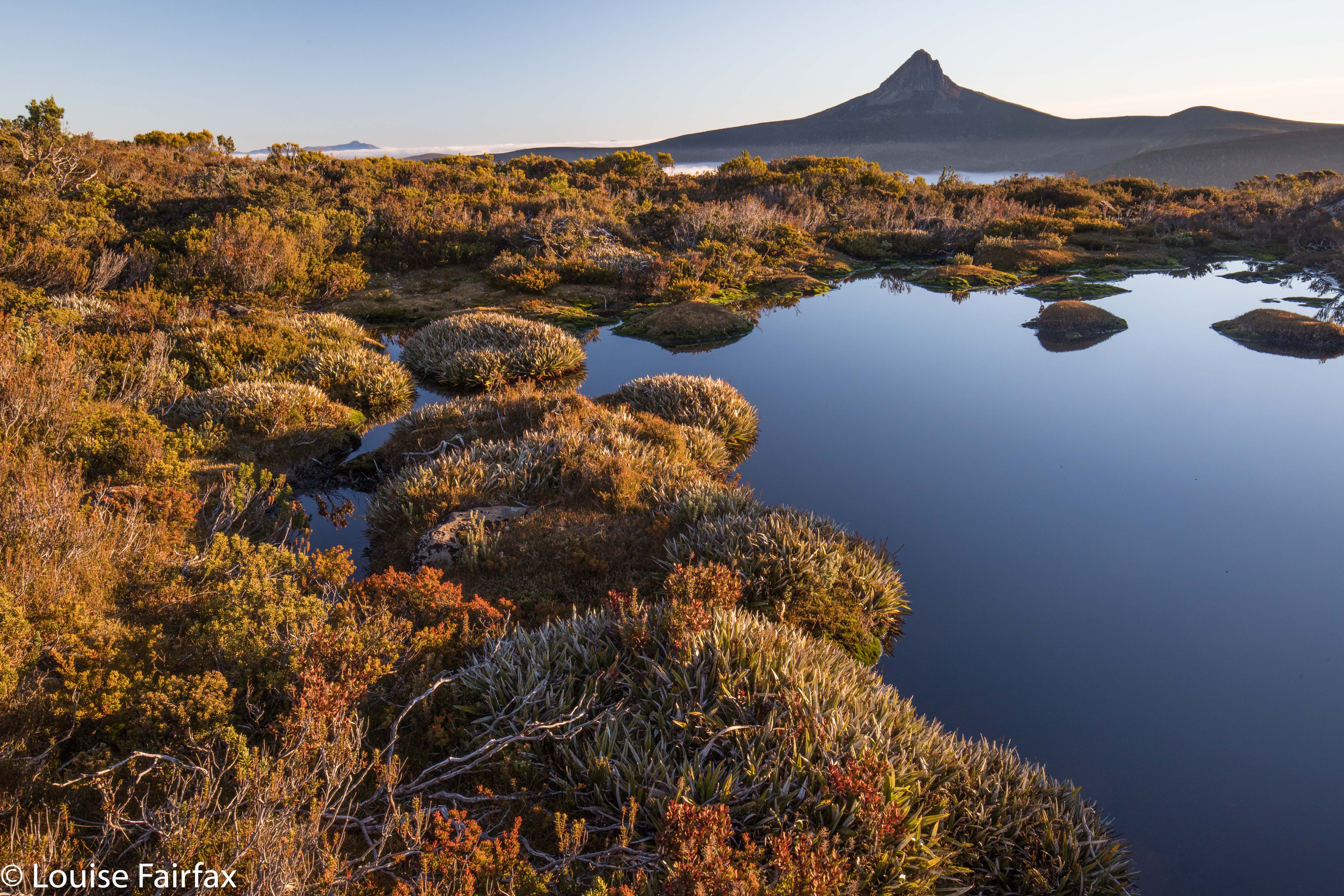
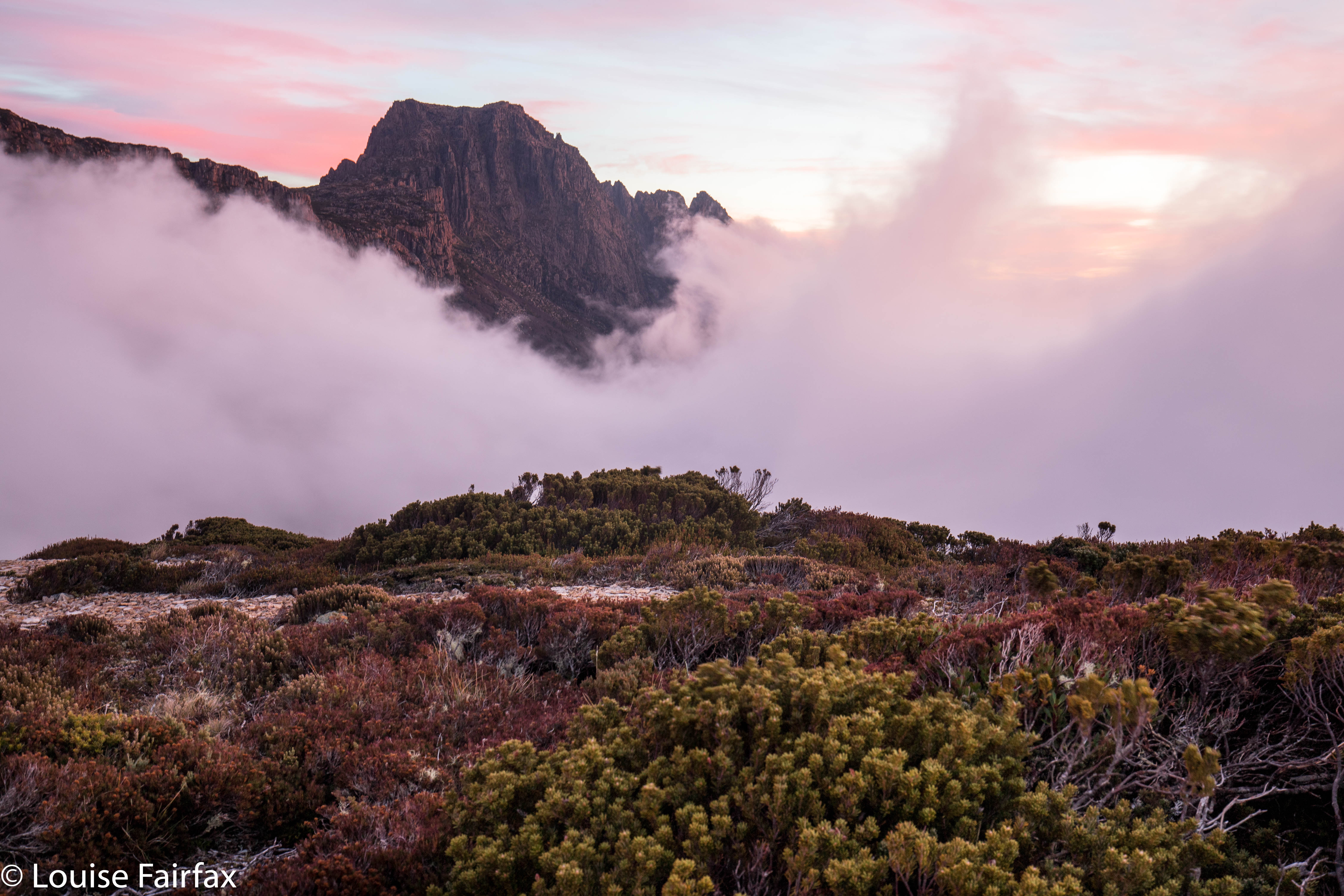
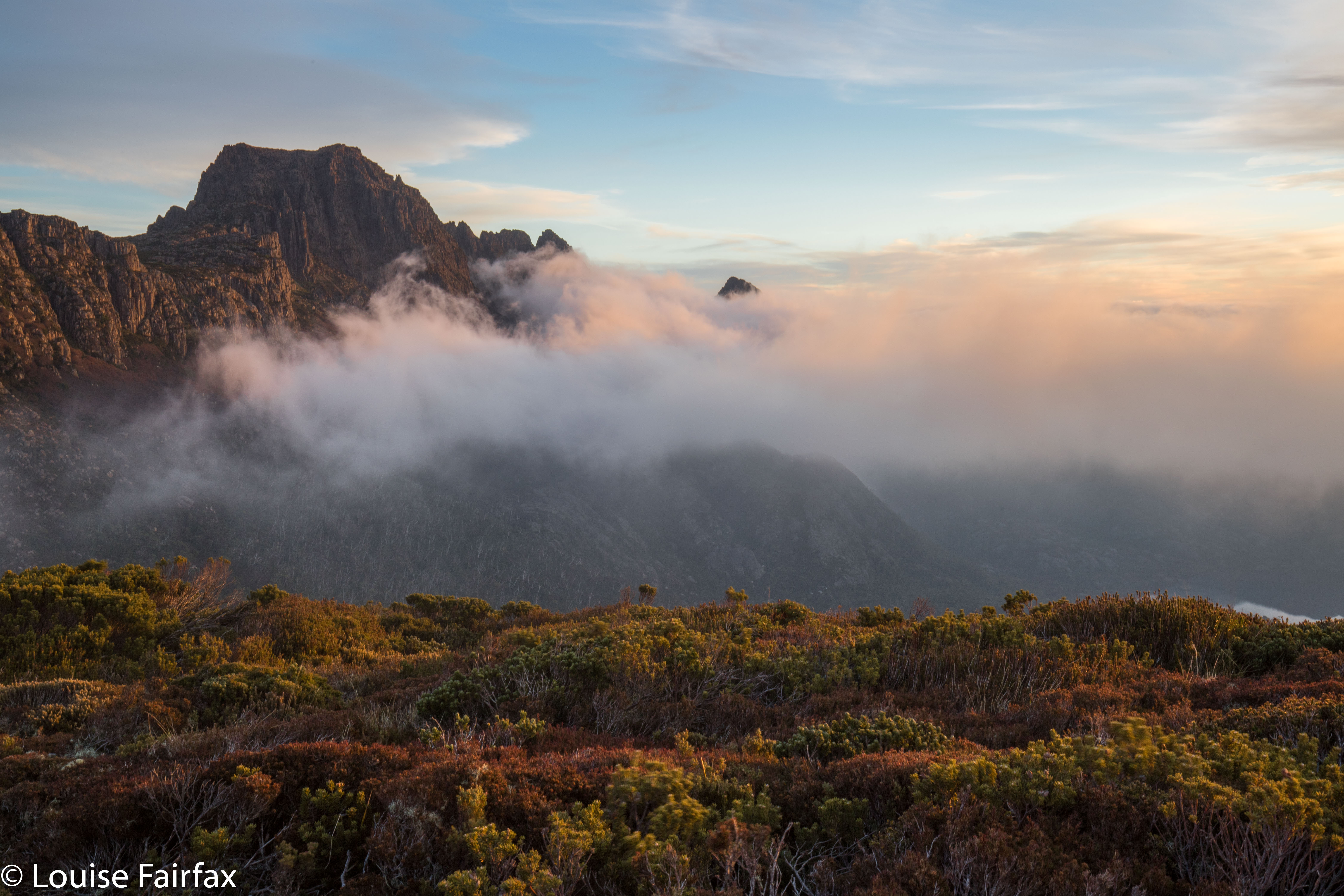
Nicoles Needles, a lower part of the Sharlands Peak tower group, nearest Barrons Pass
Climbing

The book had merely said to head east to a saddle that had mild exposure. There had been something about a ridge offering dramatic views, as well. Did the writer not remember there are myriad tiny saddles up there? Or that east covers a multitude of general possibilities ranging over a possible eighty-nine degrees? We kept gazing over edges that dropped to eternity below and asked each other: “Does this constitute ‘mildly exposed'”? “Would you call this view ‘dramatic’?”
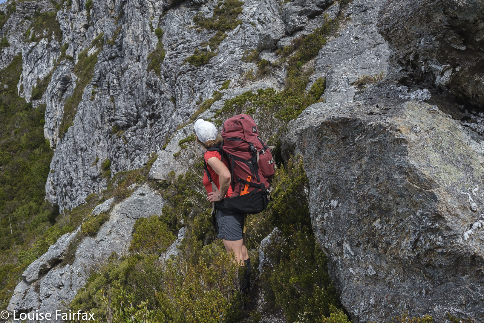
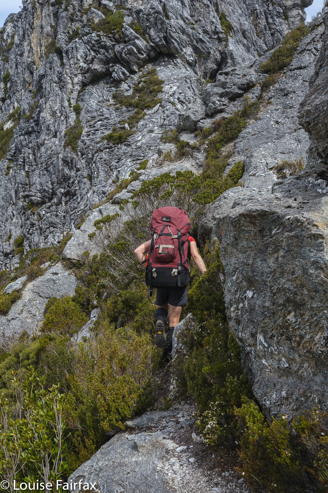
Hm. We go up THERE?
Traversing

All the views were dramatic. Every saddle had a certain degree of exposure. How nauseous did you need to feel before you could pronounce: “This must be the one; I can identify it by my stomach.”
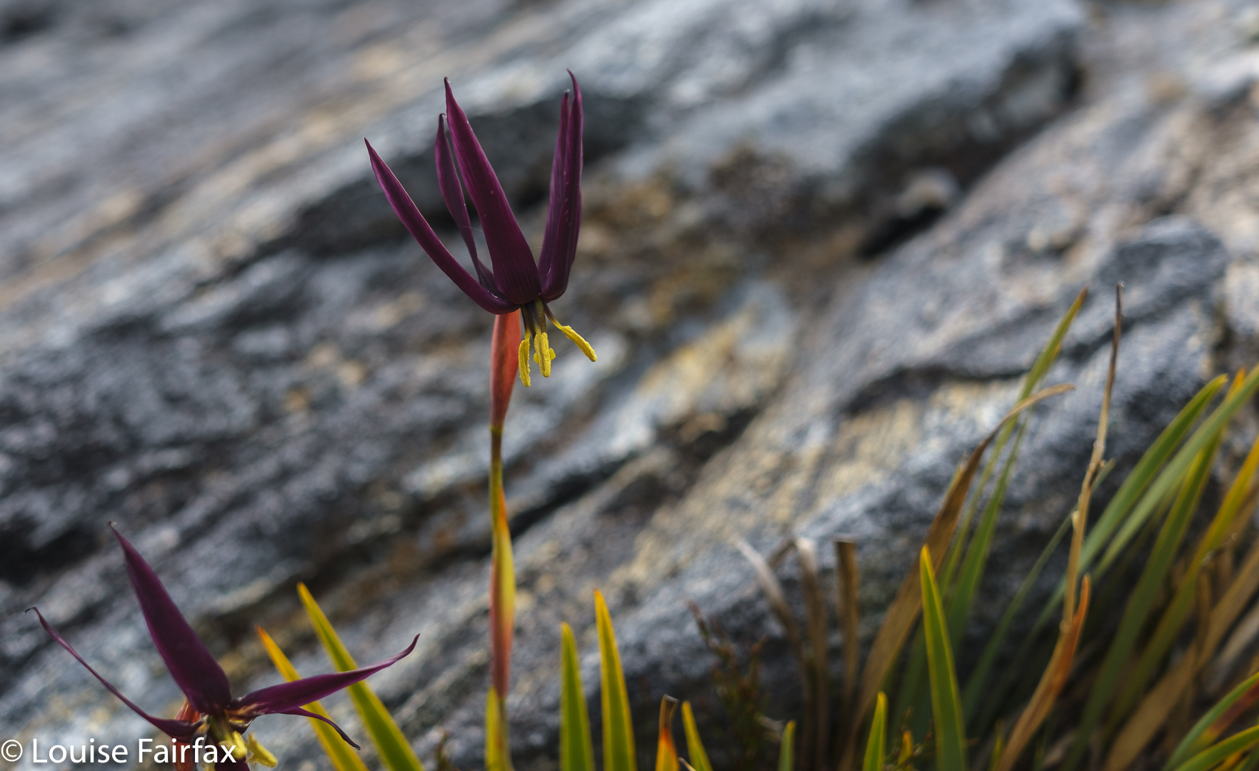
Isophysis tasmanica

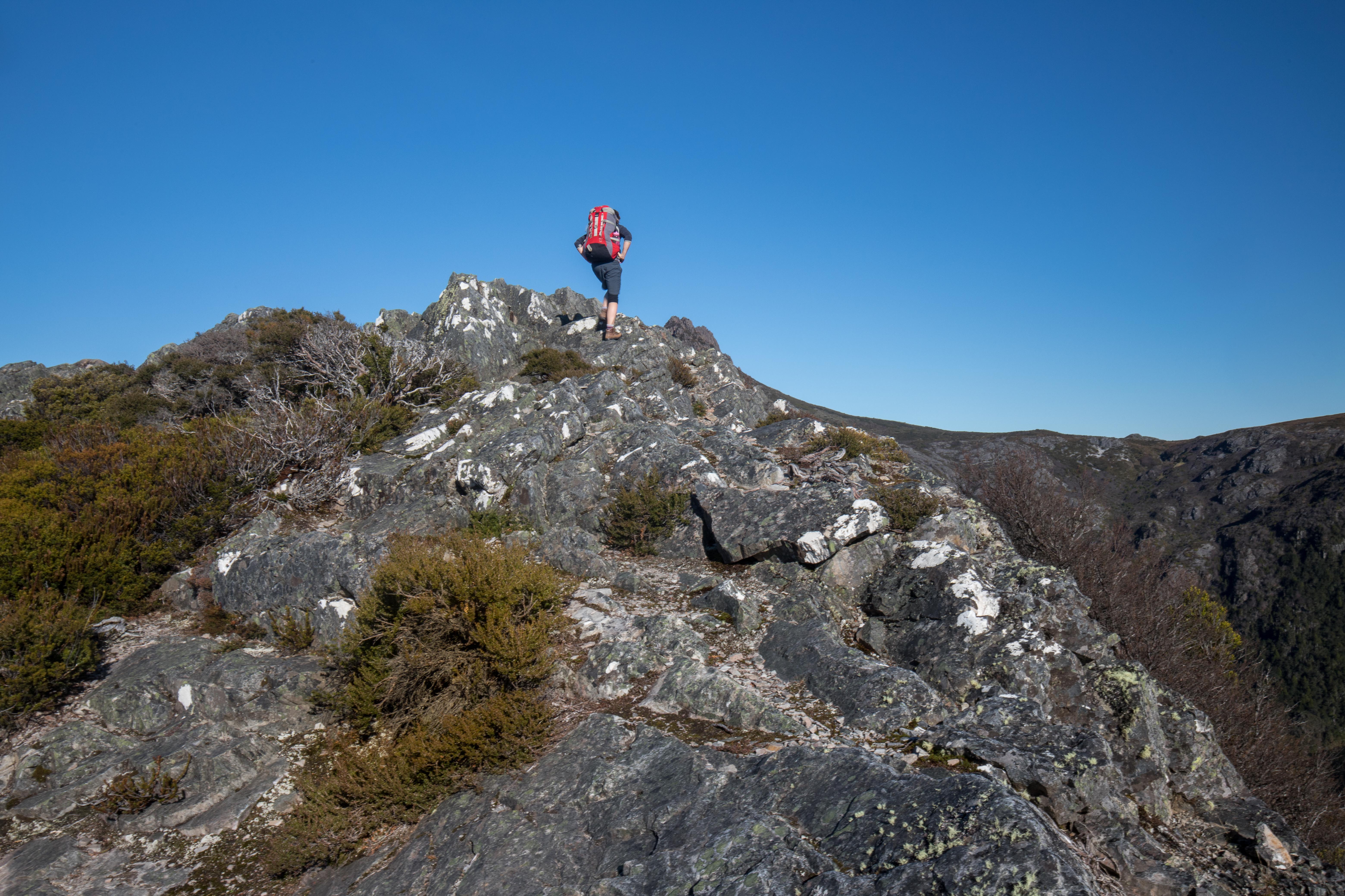
We would be on a saddle, looking up a knife-edged ridge that brooked no error: one rock falling out of the collection, one slip and the climber was gone. You couldn’t see what lay beyond the next dodgy climb. Was this where we were supposed to go? There was no point in risking it if it was yet another dead end, but we couldn’t see if there was any use trying from where we were. One of us would climb the next bit and report back on the likelihood of this being the way … or maybe offering A way, even if not THE one.
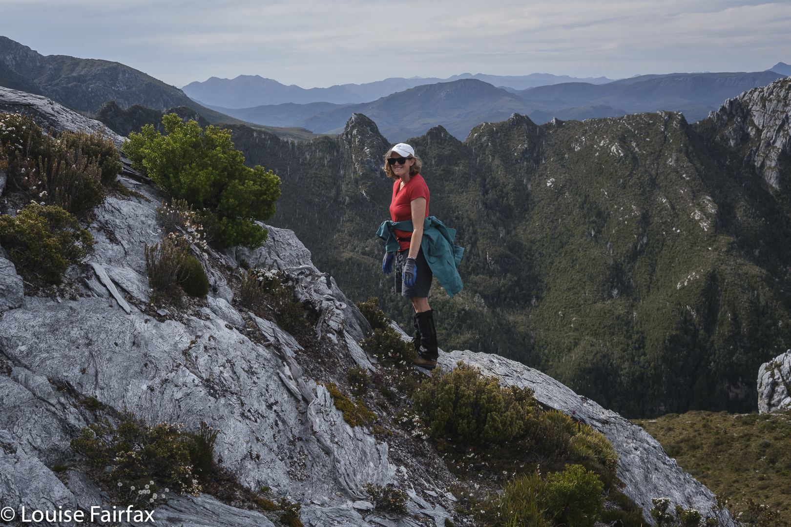
Getting higher

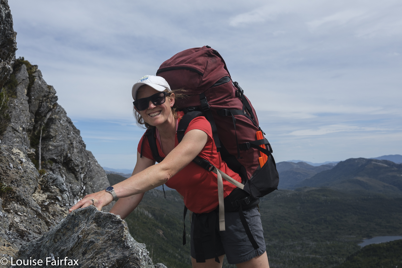
Now that it is all over, this nervy trial and error seems rather fun, but at the time, my nausea level was mounting, especially when it was my daughter’s turn to try out first and I could see my beloved offspring straining her way up rock that looked too loose for my comfort. She is very experienced and capable, so it seemed terribly condescending to call out: “Be careful. Test each rock hugely before you commit to it.” But love made me want to yell precisely that.
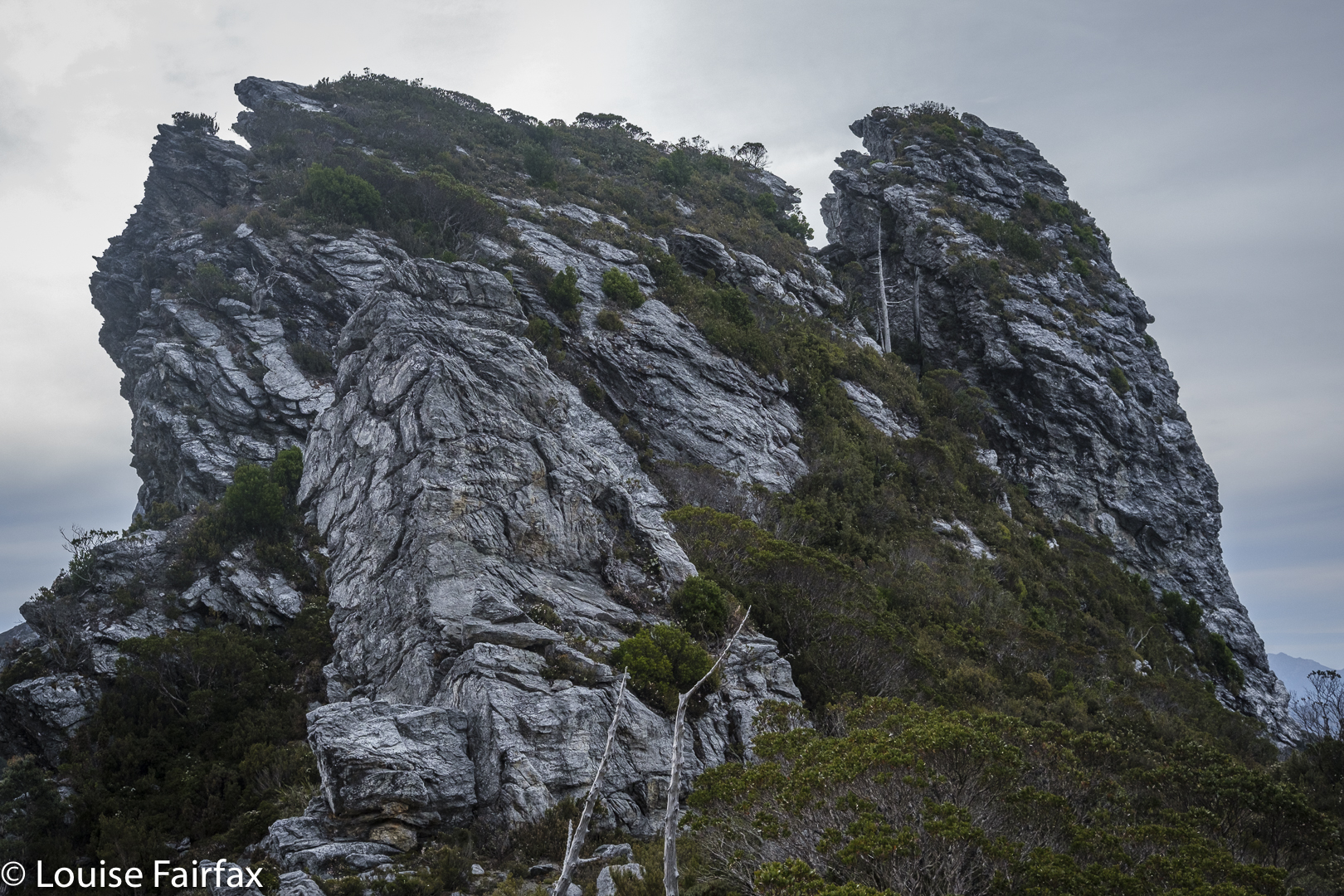
Another saddle, another needle but not the summit. Sigh.

We found ourselves by and by at the top of the landslide. The book had said not to go via the landslide, but it meant not to climb that way from below, and  implied the real danger was lower than we were. Should we keep trying here?
I was beginning to give up, I have to confess. I announced that I had just lost interest in this Abel, and thus in the idea of getting all Abels. I was ignored. Mercifully. We tried yet another tack. My turn to go first. From this knob, I could see a saddle that surely led to the top, and I thought I could make out a possible route that would find us at that saddle. Kirsten came up to get the view and agreed. Here  we go again. This was not the first time this had been said in our tour of these maze-needles. We tried on rough contour. Failed again. Dropped again but not too far and bingo. We could see a possibility of gaining the top.
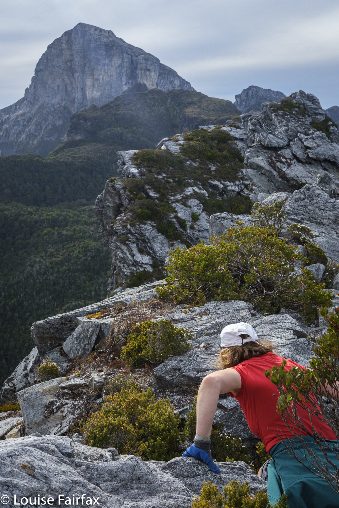
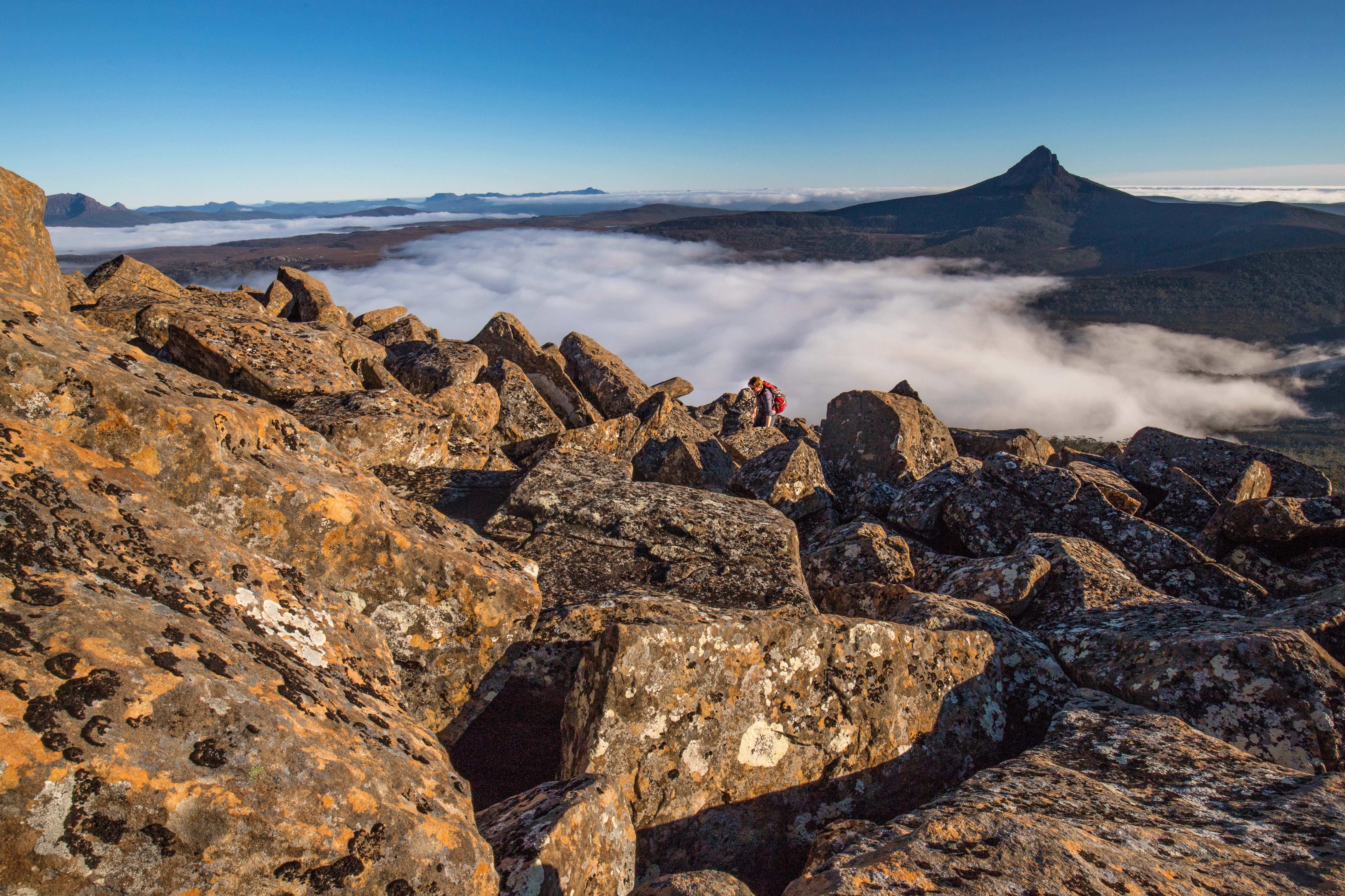
Another push up to a higher level, but we are not where we need to be. Great views, though.

Yet, even as we climbed this, we had to tack and back a bit in order to get a route that would take us up and not on the flight of our lives. Now that we have successfully done it, it all seems terribly easy. Uncertainty about whether what we were doing was yet another false manoeuvre was part of what was mentally trying. But, I have to say, the whole uncertainty ultimately engendered far more excitement at success than if we had known all along that we would get there.  It was fun having to work it out and do it for ourselves. Too much of our wilderness is being dumbed down. “Wild” and “dumbed down” are actually mutually exclusive, in that the word “wild” has as its antonym “tame”.  Could someone please explain that to our government?
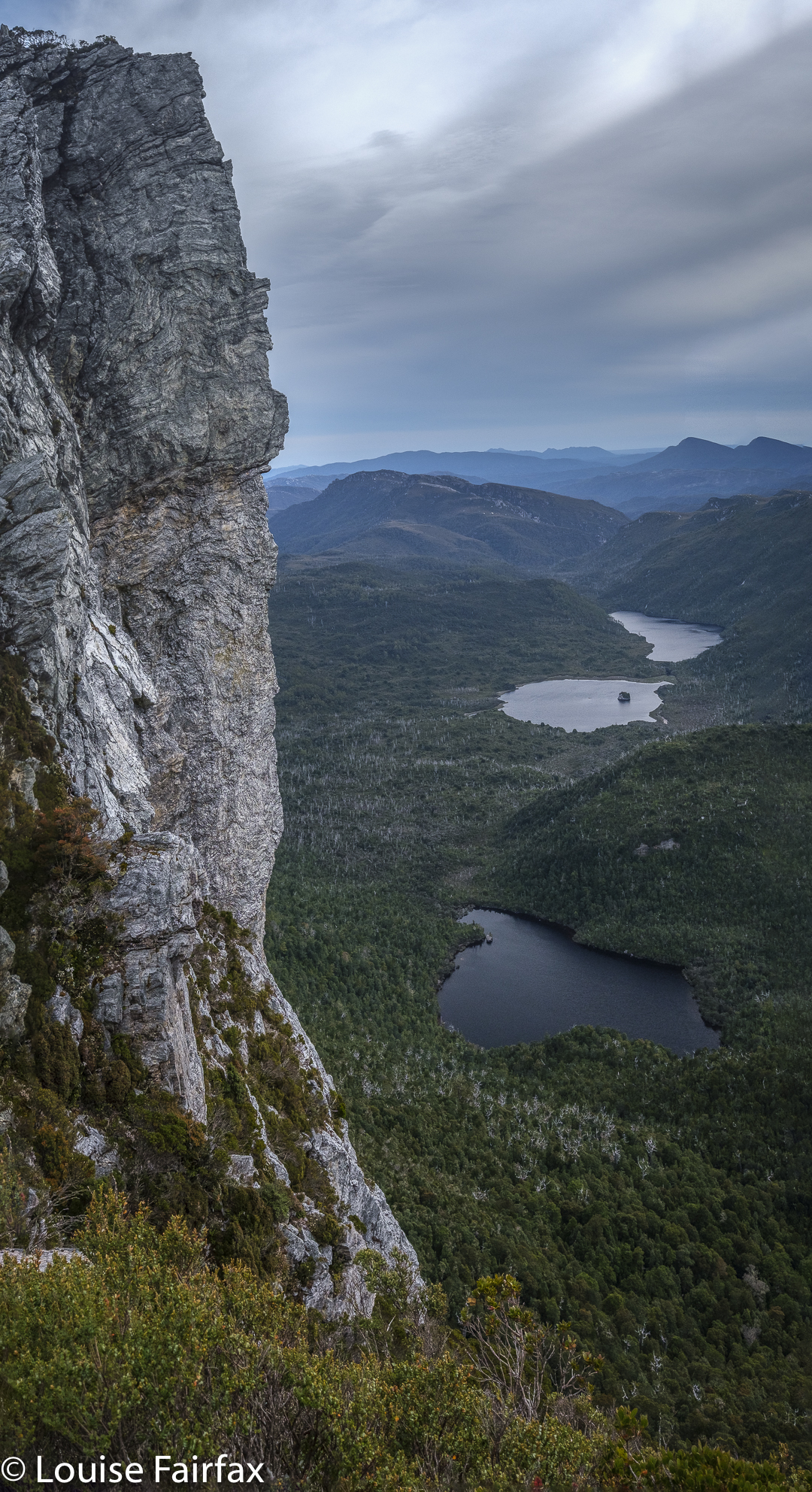
Pano. At last we have found the summit needle.

There was the summit stone. I couldn’t care at all about who touches first, but Kirsten wanted us to touch together. It’s a cute ceremony. We did it. I snooped around the back, and called out that I’d found a way of actually getting on top of it. (It was too high at the first point for either of us to scale it.)
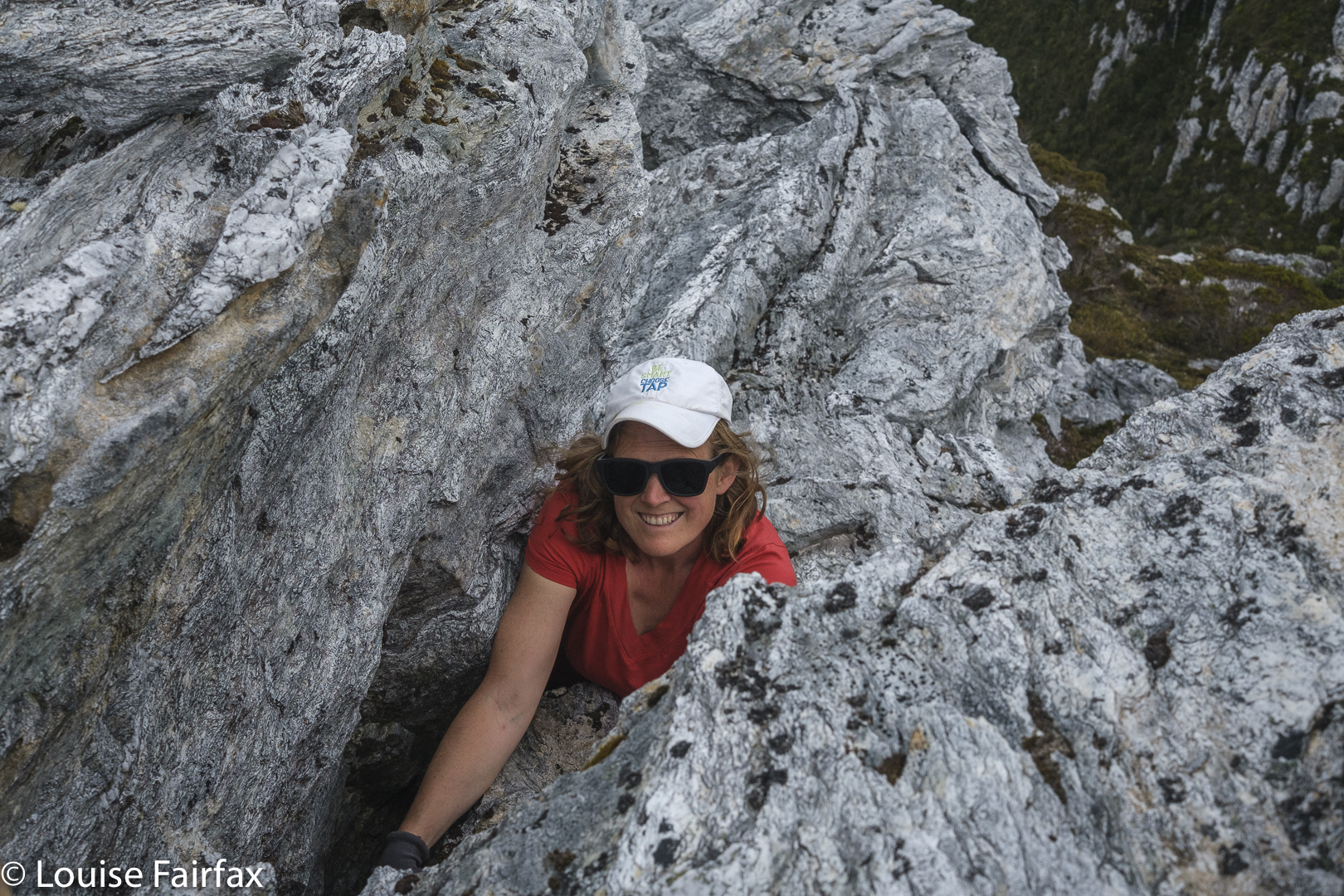
One final grunt and we’re both on top.

With a grunt and an accelerated effort, I gained enough height to then haul myself to be on top. Whoah, it was windy up here, only 2.3 or so metres higher. Kirsten of course, quickly followed. There was not room for a third person up there, but we were only a duo, so that hardly mattered. We briefly enjoyed the view, and descended extremely quickly now that we knew the best route. Our little welcoming tent far below signalled our new goal.
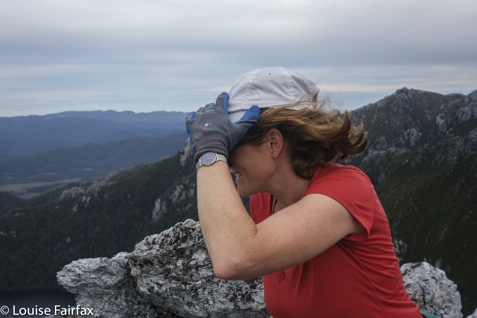
Weeeee. Made it. Summit of Sharlands

How lovely to reach our tent at last. It had been a long day. We had driven in, walked past the Lake Vera hut (where Kirsten had a swim en passant), climbed Barron Pass in what felt like oppressive heat, enjoyed the view up there, and then gone along to curve around to the valley behind our desired peak. We were filled with joy as we descended. There we were in a a quiet valley, surrounded by astonishing majesty and soothing silence. THIS was wilderness. This was what we’d come for.
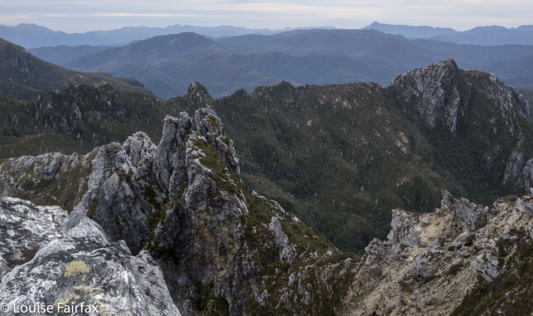
Views. The landslide from above.

Earlier, despite the already very long day, we had made the call to climb this peak today in case the bad weather came in early.  Now we were back at our tiny red haven, we couldn’t have been happier. The evening was mild enough to cook and eat outside and stare at the changing light as we ate our delicious (only in the wilderness) cauliflower and pea dahl – the normal rehydrated, formerly dehydrated fare.
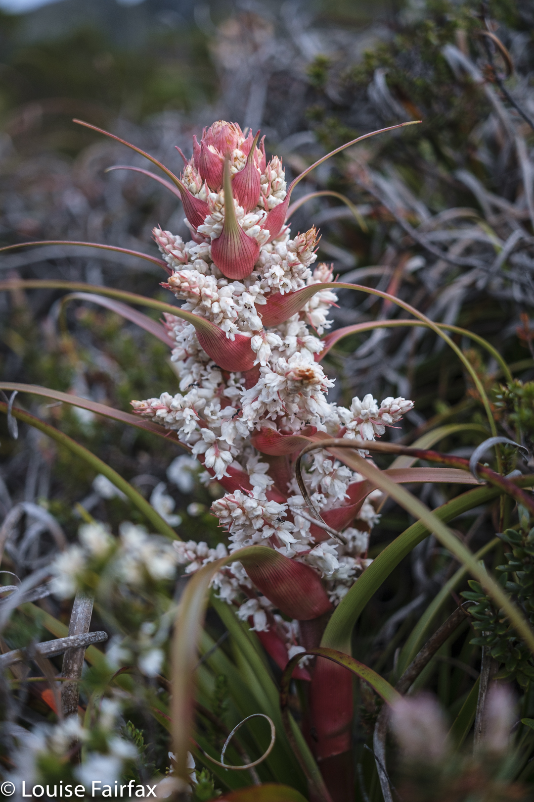
Dracophyllum milliganii near the tent

Sharlands was a kind of bonus, brought about by the expected bad weather which had been forecast for the next two days. We had changed plans and now got in a peak while the weather held. Now, if it turned totally sour, at least we had something to show for our efforts. Kirsten had kindly taken a day off work to be with me and climb a mountain together. It was great that her generosity was not in vain.
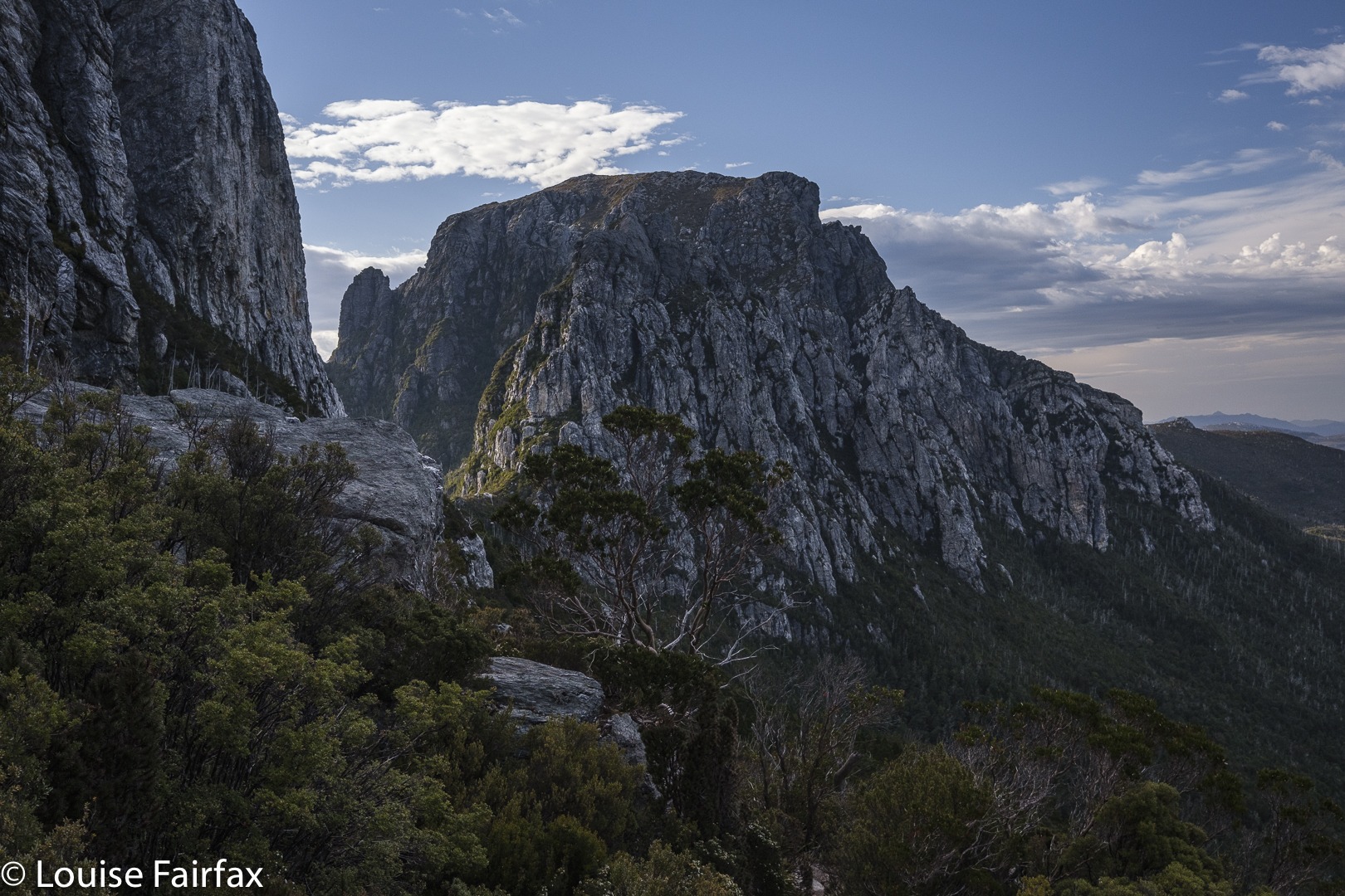
Day 2. Looking back to Barron Pass

The next morning, it was not yet raining, and there had only been a couple of light showers during the night, so we decided to head off in the direction of Frenchmans Cap, and maybe climb it, maybe not. The world was our oyster. We’d respond to how we felt.
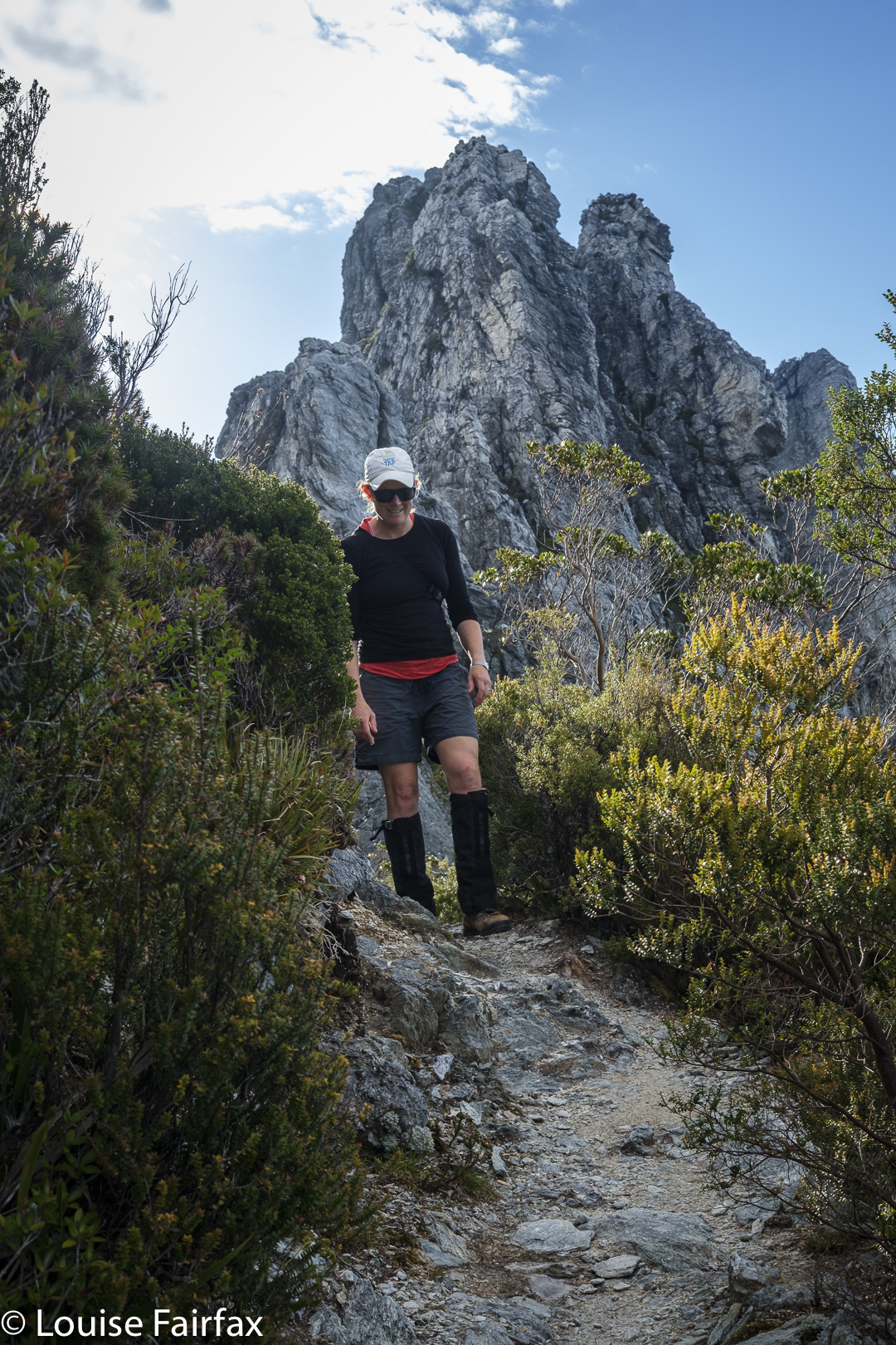
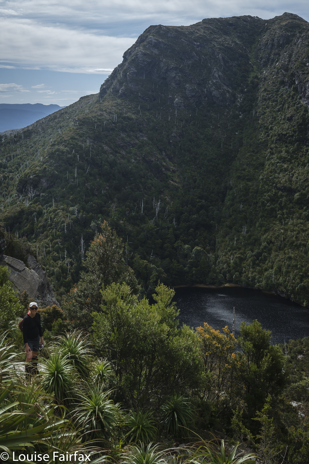
On the track to Frenchmans
Lake Tahune below as we climb higher

Of course, we ultimately felt like climbing, even though the weather started to close in (and we had to allow a great deal of time for photography of flowers and views, and for Kirsten to enjoy a swim in Lake Tahune). We were under no pressure, time or otherwise.
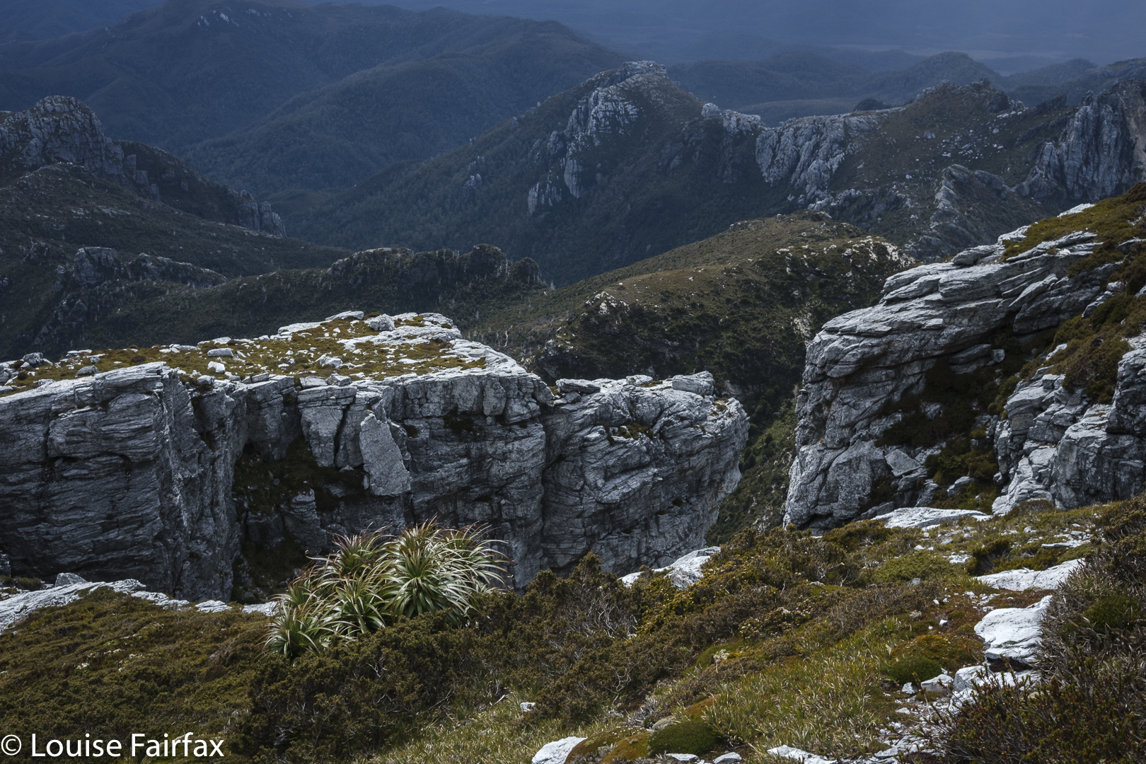
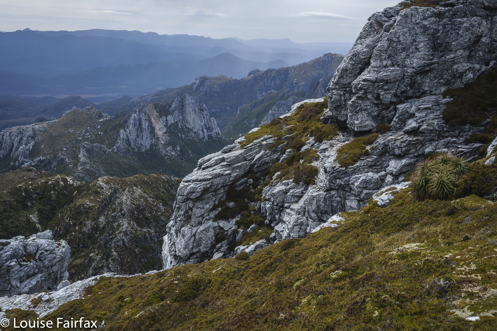
Mountain drama
More mountain drama

We had climbed it together (with Bruce) when Kirsten was a student, so this was a revisit, and in fact, I have now climbed it five times. Familiarity has not bred contempt. This is one heck of a beautiful mountain, and the climb is pure fun – especially on this day, with wildflowers everywhere, with high drama and an approaching storm and with a monster feeling of satisfaction that we had Sharlands Peak on our list of climbed mountains. Three Abels to go. Weeee.
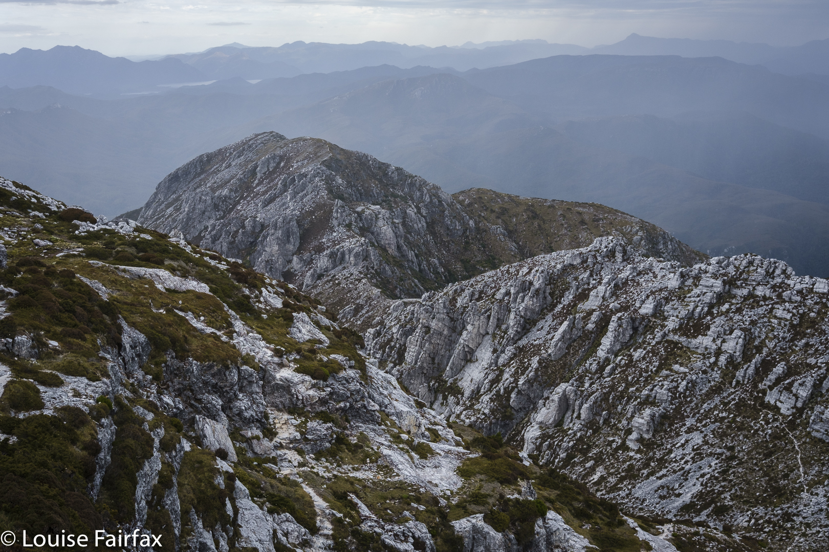
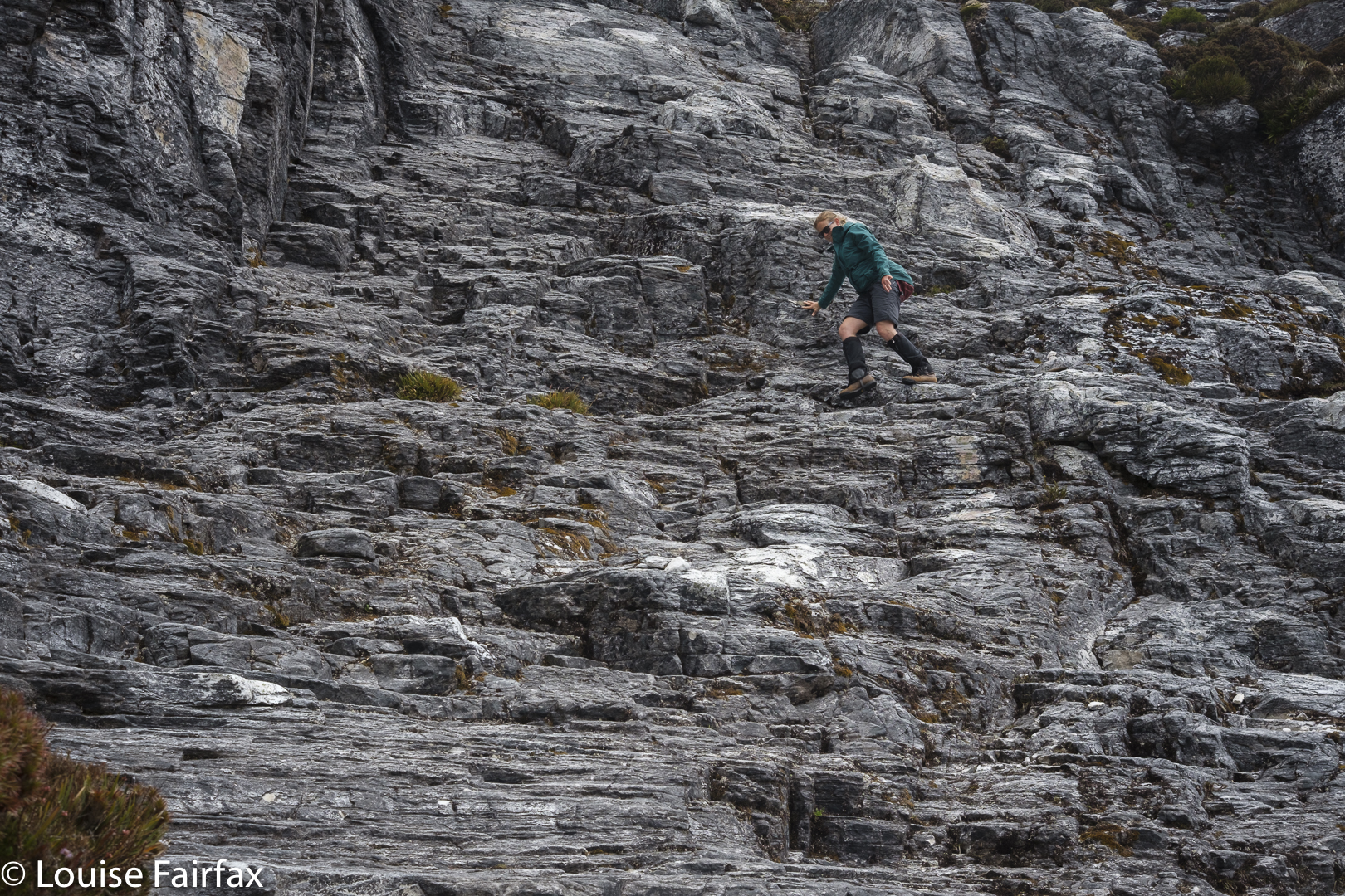
More mountain drama
Descending

We celebrated at the end of our walk out next day with a ‘works hamburger’ at the Hungry Wombat. After three days of bush fare, I felt unaccustomed to so much real food all in one go, and was uncomfortably full as we continued on our way. It’s Christmas. We boomed out the Messiah as we drove back to Hobart, singing along together with gusto as we headed east.
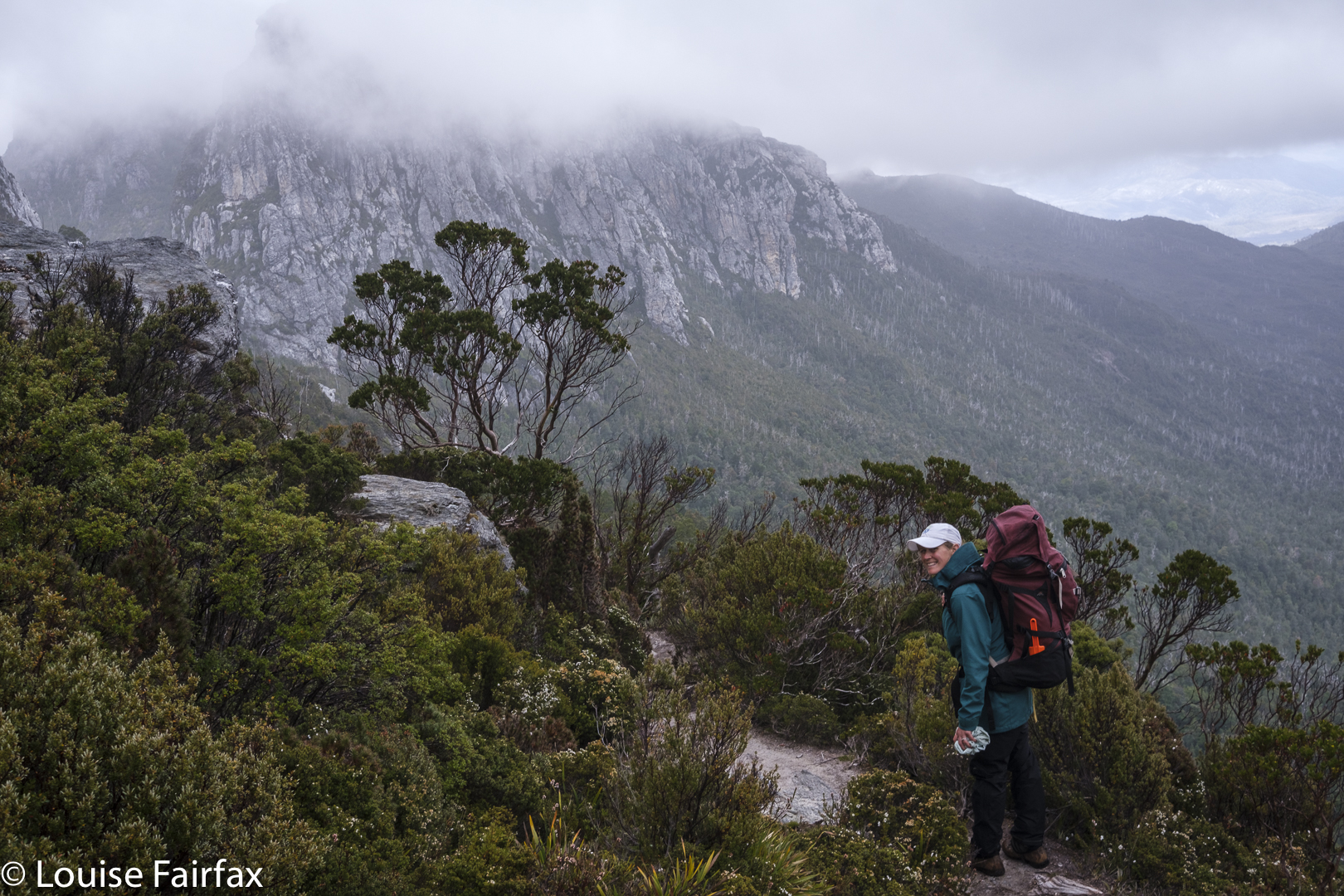
Back on the track with the trusty pack
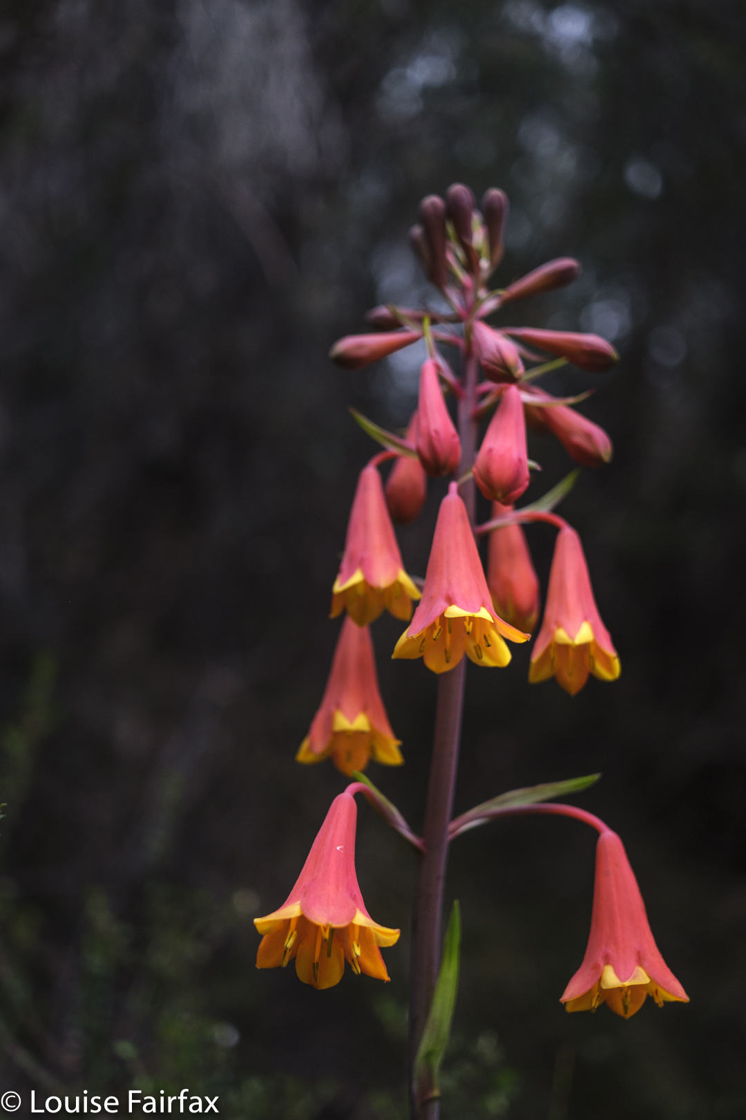
Blandfordia punicea for some Christmas cheer on the way out.

ICELAND 2018 2 Days 5-7

Iceland 2018 The second three days


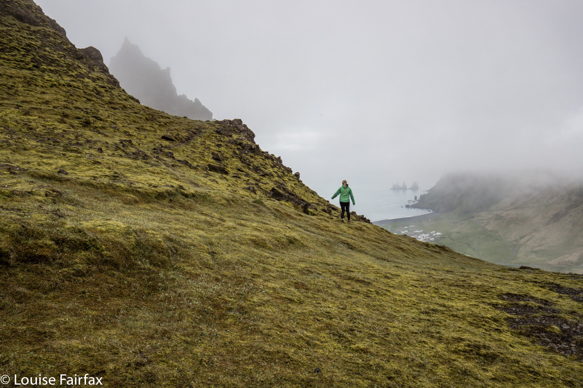
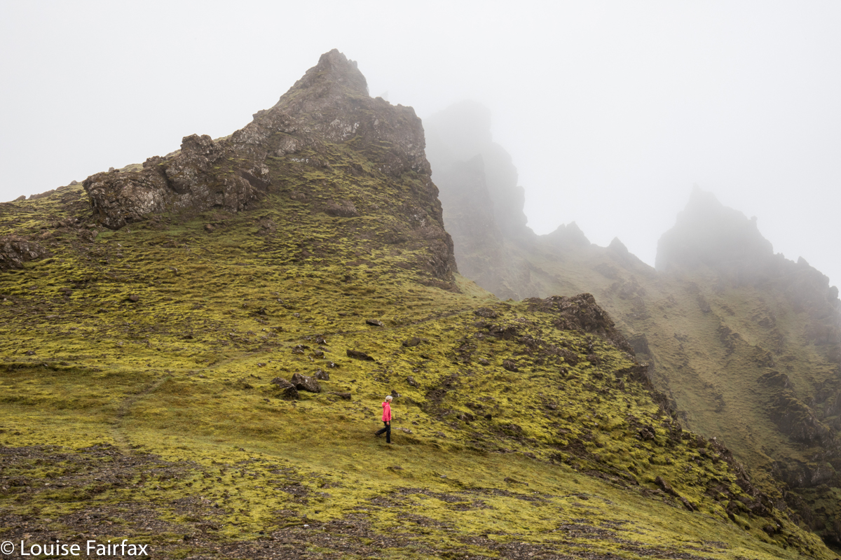
Day 5. Sadly, sadly we bid our farewells after breakfast, and headed for Vik. As neither of us likes sitting in a car all day, we decided that when in Vik, we’d climb the big cliffs off to the left as you approach. They looked so very alluring with their craggy precipices poking into the clouds. Just to check on available information, we went into the Tourist Office in Vik, and were advised to do some pathetic granny stroll around town. We thus, of course, ignored all the information we’d been given, and set out into the unknown, determined to reach the top of whatever it was up there, the name of which emerged to be “Hatta”.  It had glorious cliffs to peer past into the abyss below, massive drops that were not to be accidentally gone over, misty towers of rock hiding in the gloom, and, every now and then, a view, like in the photo above. See those cute little rock stacks in the ocean? They are the massive giants called Reynisdrangar. All big things are tiny relative to something mightier than they are. If only humans could recognise this – especially ones in politics.


Visibility was not exactly good, but I had seen from a map that if we stuck to the ridgeline (carefully avoiding its knife edge), we would eventually arrive at the summit. Hopefully we could recognise it in the white out. If tourist offices sold decent topo maps instead of dispensing the advice to stay at home and wrap oneself in cotton wool, that would actually keep people much safer.


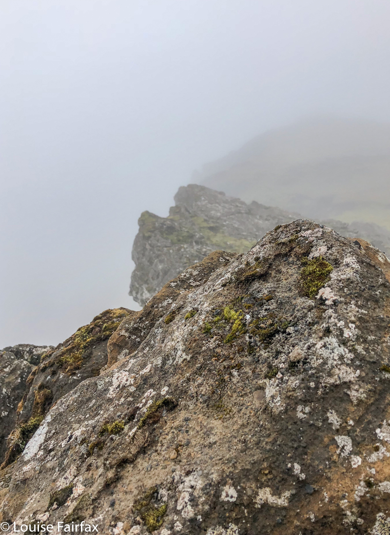
And here is our wonderful summit view. Actually, I’d much prefer this to a vast but murky vista. This one has the appeal of the obscured embedded within.
So, that killed the time until lunchtime.
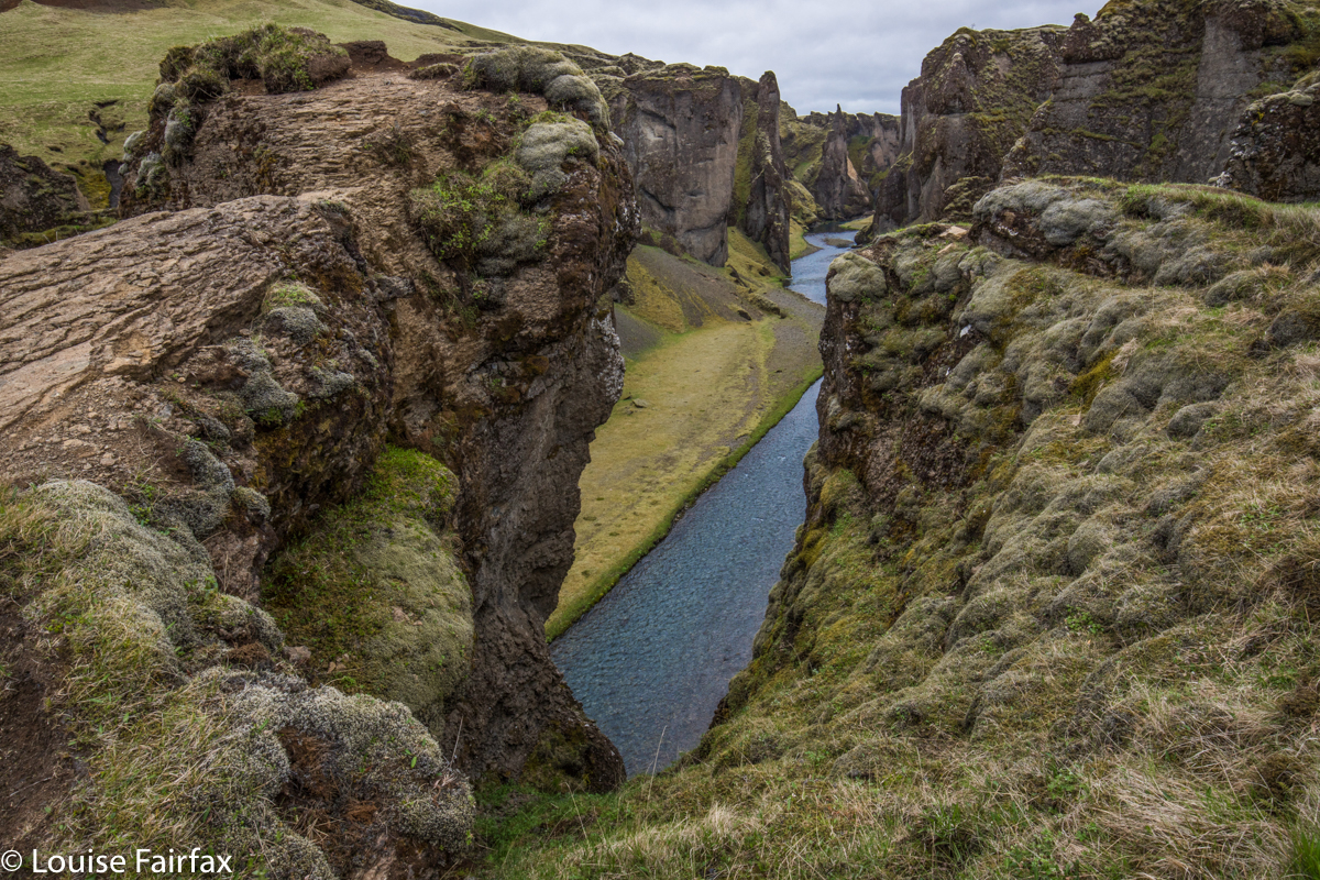
After soup in Vik, we headed off further east, with Timea’s list for the day close to hand. Her next piece of advice was an amazing gorge, Fjadrargljufur, with stunningly blue water flowing way below in a deep green gorge, with a waterfall at the end.


Fjadrargljufur
We had been spoiled up until now, for thus far we had had the privilege of dancing on the abyss to our heart’s content, going to the brink of infinitude, but being allowed to determine for ourselves (and with a strong desire to live in mind) our own level of risk-comfort. Here, all independence and self-direction was removed. This was a tourist site, complete with wide, smooth, tarred trails, railings, keep out signs and a million warnings telling us that if we leap four hundred metres, we will surely die a the end of the flight. It even had a dragon lady at the start to remind you to stay on the trail and other suchlike rules.
We did not enjoy this level of supervision or removal of our autonomy. We walked to the end and back unimpressed, but now I am home and can see my photos, I do have to admit that this place is very beautiful, and that the tourists do need to have somewhere to go. Much better to channel them all into something like this and let the rest of wilderness be wild. And if you are going to have crowds all chatting to each other and skylarking around while they take their selfies, heedless of those around them, then you also need to keep them away from dangerous edges.
I am terrified in the presence of people who seem unaware of their surroundings, as I have been bumped nearly into oblivion by such people on more than one occasion. Better to save cliff edges for solo or near-solo efforts. So, here is a sacrificial pawn serving the tourist industry, conserving the people from their own irresponsibility. Such pawns are necessary.


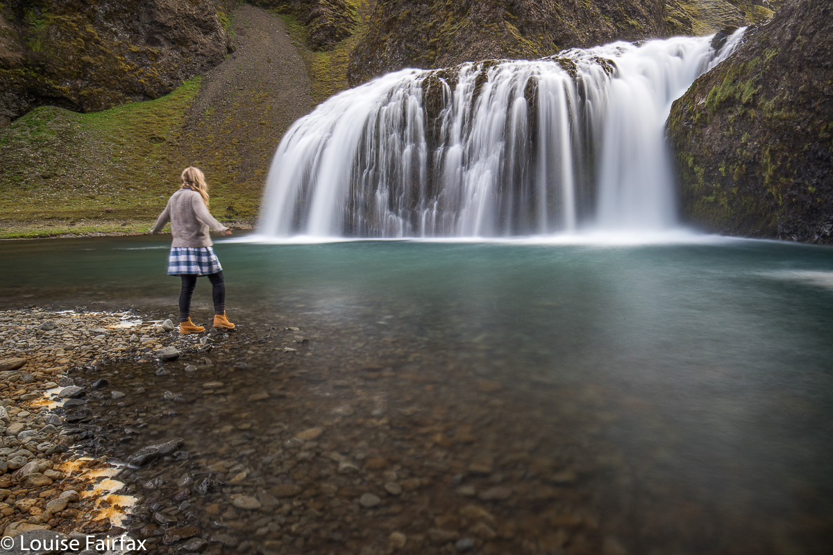
Next marvel on Timea’s list was a turquoise waterfall by the name of Stjornarfoss. Here is Lena, deciding whether or not to take a swim at about 4 degrees.


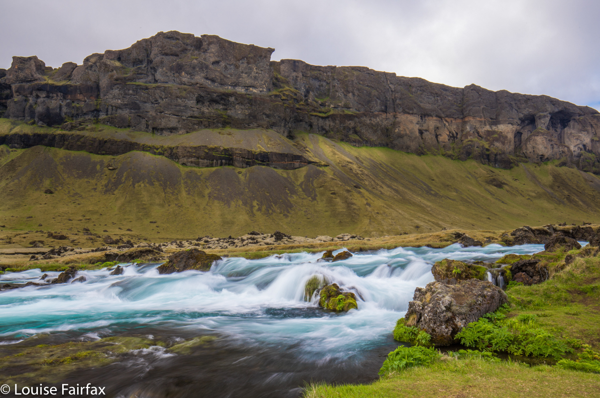
Our next “falls” were not on anybody’s list, and neither were they named. They had little height, but made up for it with massive colour and breadth. We found them utterly charming, so I slammed on the brakes and out we hopped. Now, we get pretty involved once we’ve set up our tripods and thoroughly immerse ourselves in the nature we are capturing. We are at one with it, and tend not to notice extraneous objects, like a farmer wanting to shoot us, an approaching bull with smoke issuing from its nostrils, or a mob of forty tourists who decided that if these two people with tripods were were shooting it, then it must by definition be good. In this instance, it was the third of these that happened. When we “woke up” from our trance of being soaked in beauty, we noticed to our complete amazement the very large number of people who had gathered to shoot this nameless wonder.
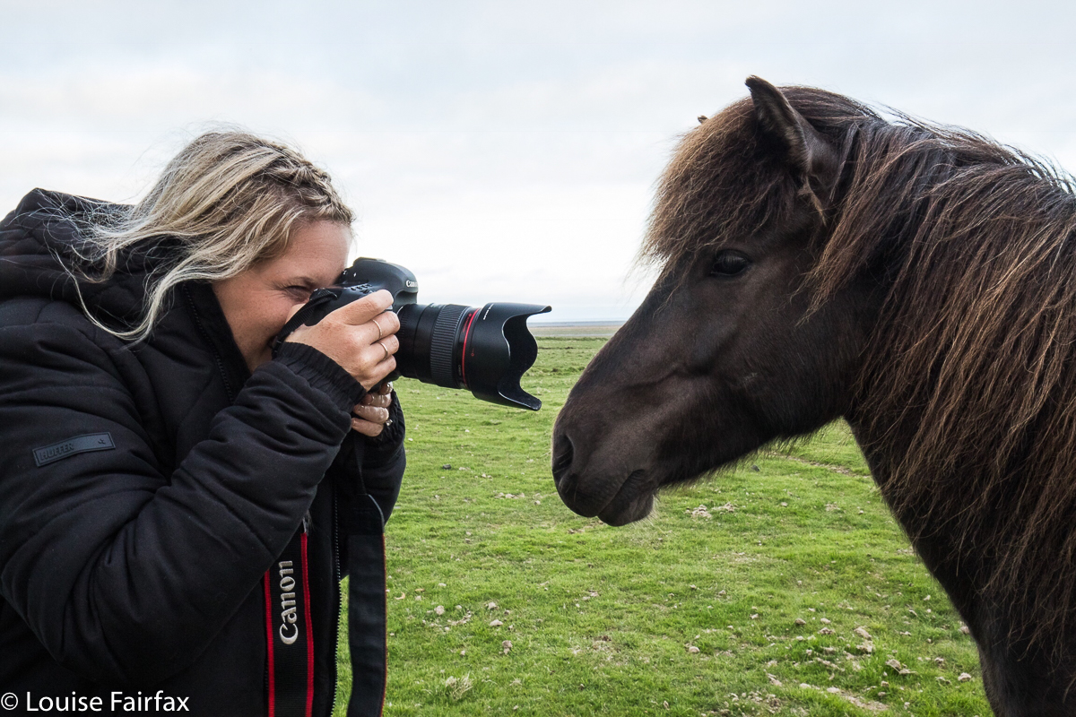
On the way during the remaining drive, we found some more Icelandic horses,


one of whom photo-bombed Lena, who, the horse felt, was discriminating unfairly in the favour of blondes and brunettes, and shamelessly ignoring dark-haired beauties like her.
I was a little tired by the time we arrived at Vagnasstadir, where our Youth Hostel was. I was so tired, I even wanted a bit of a nap before I threw myself at more driving and another long sunset stint. We had no room yet, and I relaxed on the couch waiting for permission to enter. Off I dozed. I needed it.
Maybe it’s good that I was fresh when they showed us the room, or I might have been bad tempered. Instead of the two beds we’d ordered, the room had one tiny bed called a double, but double for sticks only. For a mother and pregnant daughter, booked in for three nights, this was really not what we were expecting or wanting, especially considering the price. The view, however, was wonderful, and Lena wasn’t upset, and I guess I was more concerned that she would be cross than that I would be. If she was happy, so was I , so we made do with this extraordinarily inadequate excuse of a bed in a room that allowed about 30 cms space around its perimeter and laughed our way out of the situation. At least we had a gorgeous view out our big window, and breakfast next day was excellent.


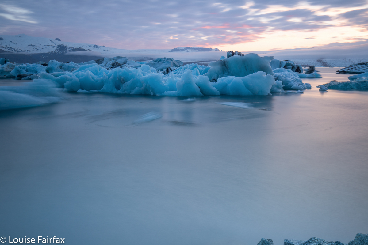
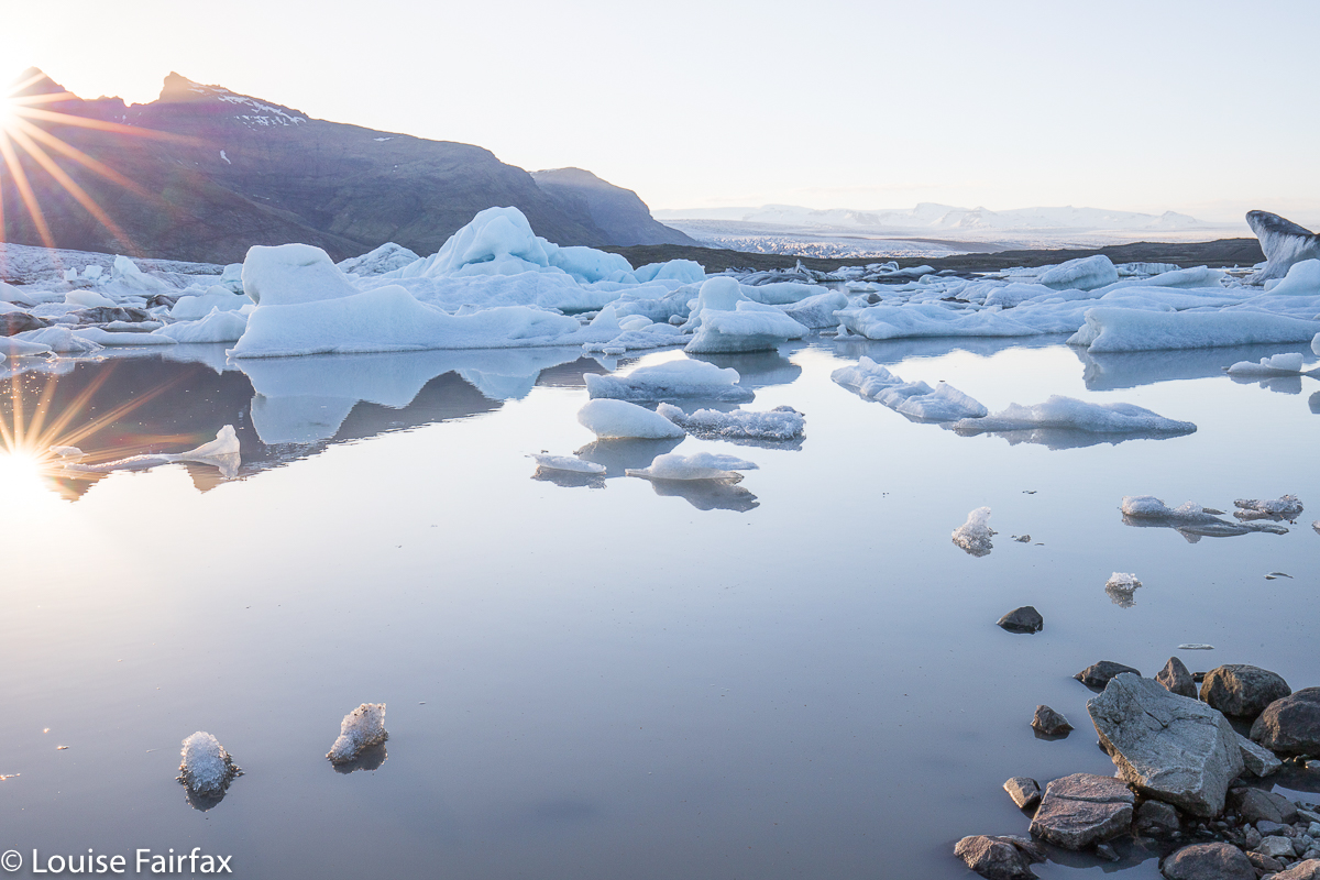
On on we pressed, driving back after this minor setback the 30 odd kilometres to Jokulsarlon to do what I had always so very, very much wanted to do since I saw my first-ever photos of this region: to photograph the ice floes at Jokulsarlon. The first evening was more a learning experience than anything else. I learned that these bergs move, even in a four-second exposure; that they move more if they run across your line rather than towards you; I learned exactly which shutter speeds did it for me so that when I went back on successive evenings, I could do it all better.
Day 6.
This was the first of several days that we devoted to icebergs in one way or another, with short hikes up mountains and visits to waterfalls acting as punctuation marks in the real purpose of the day.


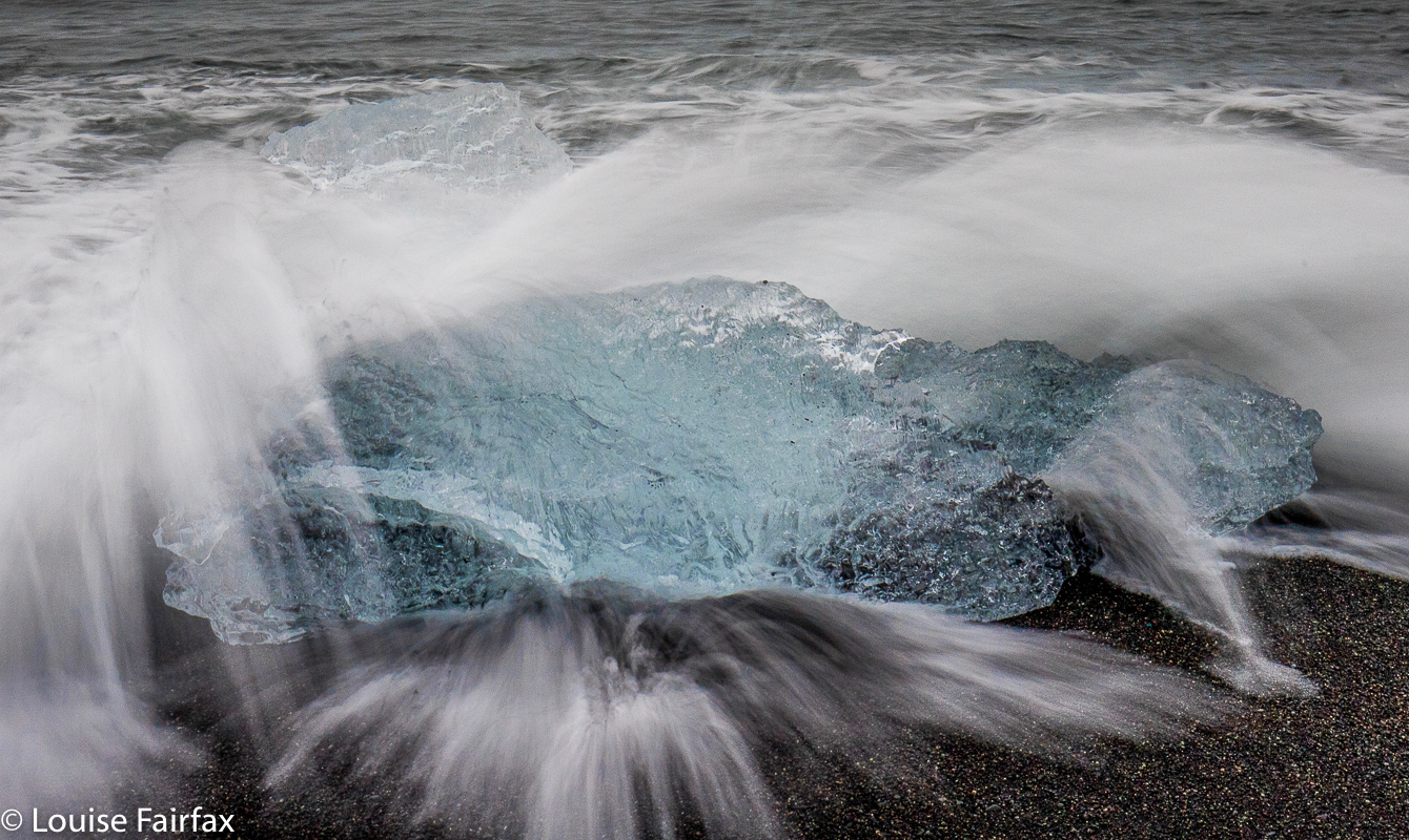
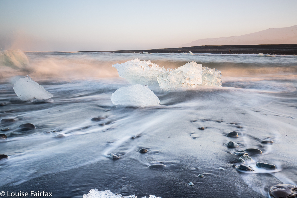
I was impatient to see Breidamerkursandur, or Diamond beach as it is known to those who like to translate everything into English. We had enormous fun playing “What’s the time Mr Wolf” with the waves, and dashing to safety when the waves declared it to be “dinner time”.  It was such a lark, and even served as an interval training session, sprinting away from being monstered by a wave, hand clutching a camera attached to its tripod, giggling of course.

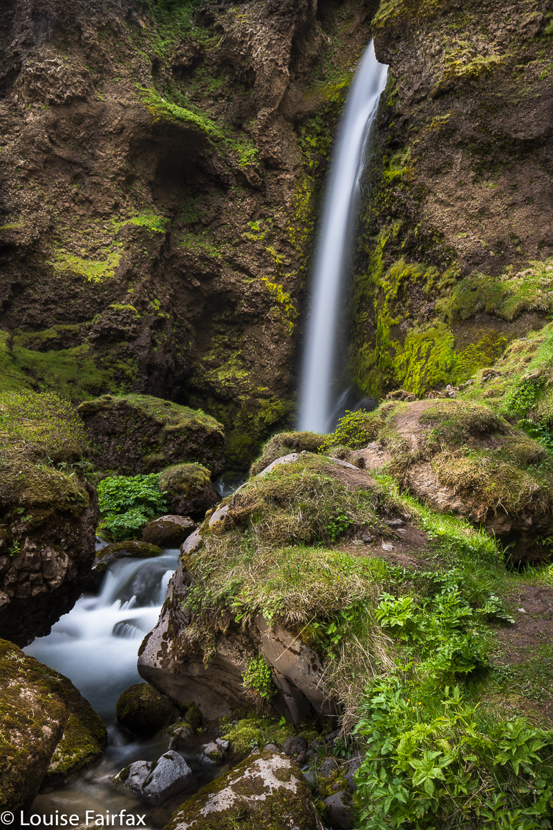
Day 7 began with a visit to a “secret” waterfall shown to us by the waiter at Fjallsarlon who sold us soup the day before. Mostly, however, as with the day before, (and apart from some down time in the afternoon, and some walking to this or that spot of natural beauty) our focus was on ice.


A diversion from ice while waiting for low sun.


And at last evening came. Jokulsarlon is only one of many lagoons with icebergs, so we enjoyed visiting several of them in these days. We loved the fact that I had designed our trip to involve our spending several days in each location to have opportunities like this.


And at the end of each night’s shooting, we had the half-hour drive (a tad under, in fact) back to Vagnasstadir in the marvellous twilight of the midnight zones. We both adored the midnight tones of Iceland. It was such a pleasure and a privilege to be out and about in the middle of such beauty.
For part 3, the link is
http://www.natureloverswalks.com/iceland-2018-3/ 

Emmett 2018 May

Mt Emmett revisited 2018 May


Even as we savoured our summit views on Mt Emmett five minutes before our absolute latest turnaround time, I knew that the light was already a little too golden; the shadows, marginally too long. We would be descending in the dark: not a good idea when the forecast was for negative five overnight, and when we had several patches of very thick scrub to negotiate before we reached a path. I sure hoped we could dispense with all the tricky sections before we completely lost visibility.

Can you see my daughter climbing? The light is already a bit too golden.
Down we climbed, trying to combine haste with care – the need to get out of here with the equally important requirement not to break a bone or damage a muscle needed for movement. (I was, a bit later, to skewer an eye with a twig, but that didn’t stop forward progress, fortunately. I bled and kept going).


That’s Barn Bluff in the distance there.
It wasn’t just that darkness was rapidly approaching. My anxiety lay in the fact that the “Emmett-Lump saddle” ahead was very thick indeed, with the barest hint of a pad that was almost impossible to detect even in good light. One metre to the side of that adumbrated pad, and you were in a fighting wall of bosky resistance from which you would not necessarily emerge that night. My other angst stemmed from the fact that, already, one could see ice crystals forming in slightly more open areas. It was not a night to be outside without the protection of tent, sleeping bag and insulating mats and so on. We just HAD to get out of here, and fast.


Oh oh. It’s getting dark, and we still have a big descent to do. But when it’s this beautiful, who cares about the time? Not us.
Out the other side of the thickest of the patches, we safely reached a brief band of alpine grass in between two scoparia swathes. I quickly grabbed a couple of photos, because all around, the scenery was beginning to look absolutely magical, but I still had too much sense of urgency for carefully constructed shots. We still had this last band to negotiate, and THEN we could relax. After this next part, the rest would be easy alpine terrain and then a track. It wouldn’t matter then if darkness took control.


The dawn we climbed back up to see.
Mist rose to left and right in roseate, colourful swirls that chased each other across the slopes, obscuring and then revealing the mountains all around. Indelibly etched in my mind is the image of these wisps, my daughter’s silhouette and the setting sun behind Cradle Mountain just ahead. It took your breath away. At last, all the tricky parts were dispensed with.


Now we could relax and photograph and enjoy. We’d missed the best light, but the remnants were still floating us up in waves of pleasure. Behind us lay the mountain of our quest, Mt Emmett, which had entered the “blue hour” tones; leaning over its shoulder was a nearly full moon, piercing the indigo sky. In front lay Cradle Mountain , which was still sporting alpenglow pinks, yellows and burnt orange.  The clouds swirled some more.


Pelion West and Ossa floating above the clouds.
“Hey mum”, said Kirsten, “Let’s climb down the mountain to our packs, eat, and then bring our stuff back up here to sleep.” (We’d left our packs at Rodway Hut far below.)
How I love my daughter!!!! I don’t know anyone else in the whole world who would say that to me. To say that, you need to love nature so much you’re willing to do it; you need to be fit enough for it to be a possibility (we’d already had a very full day, as you might imagine); and you have to be as zany as I am. Who else, but a daughter?
“Yes, yes. Fabulous idea”, I enthused.
Now, the job of descending from this realm of beauty was less depressing. We’d be back in a few hours.


Back at Rodway Hut (where it was surprisingly cold inside), we cooked and ate dinner, packed our stuff back in the packs, and off we set up the mountain for the second time that day (having driven from Launceston that morning). We left the hut about 7.30, torches on and climbed through the moody rainforest, with patches of silvery moonlight casting shadows every now and then.


When we arrived back on top, despite now being much higher, we were a great deal warmer than when we’d left the hut. Climbing had warmed us up so nicely, we could pitch the tent without frozen hands (yet). It was so beautiful, with a star-studded sky, we barely had time to even ponder the extent of the chill enveloping us. As per our previous adventure together at Easter, (see my blog on Mt Sprent), we squished both of us into my solo Hilleberg tent. THAT warmed us up, definitely. We made sure we put our water under our sleeping bags so it couldn’t freeze overnight, had one last gaze at our starry environs, and turned in for the night. It was cosy, to say the least.
“You wouldn’t want to do this with someone you didn’t like”, I mused, before we closed our eyes to sleep.

Sunrise was predictably lovely, although the cloud bank to the east prevented the rocks turning orange as the sun rose. Mist enveloped us completely from time to time.
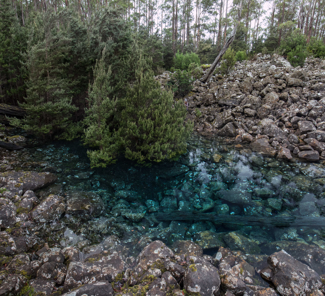
We were pretty cold after the photo session. My feet were numb, but that didn’t stop us breakfasting al fresco. The day morphed into a cold, moist one. We didn’t care. We were buoyed by the beauty of the preceding sixteen or so hours since sunset had begun, and by the wonderful feeling of having been in the wilderness together.

Disappearing Tarn 2018 May

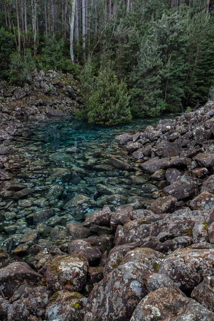
Disappearing Tarn on Kunanyi / Mt Wellington. May 2018.


Why were so many people gathered at Disappearing Tarn on Friday morning, when Kunanyi / Mt Wellington had been declared closed, and when bulldogs were guarding the road that gave the easiest approach (the one to The Springs), just to make sure the citizens didn’t get to enjoy this intriguing and beautiful natural phenomenon? Why were we so very rebellious? And why was everyone I spoke to so particularly antipathetic towards their local politicians? Being a resident of Launceston, I don’t hold the particular gripes ailing the Hobartians at present, but I do utterly loath the fact that my country has become a Nannyland, where people in local and regional power opine that they have the right to think for me, and where I am thus reduced to the lowest possible common denominator of intellectual and physical capabilities; when I am disallowed from activities or sights (and sites) because they would harm Jo Blogs, who can neither walk nor think, and who has utterly no discretion, judgement, or personal responsibility. If I want a nanny or a mother, I’ll go get one of my choice. Such a person would be wise, informed and intelligent. I do not want to be told how to be human by a bunch of pretenders who have risen to power because the indolent population voted for free beer on Sundays.


The worthy citizens of all ages, shapes, abilities and sizes had made the monstrous effort of getting there not just to be rebellious, however (I am sure). I presume that lying beneath that refusal to be told what is and isn’t dangerous or worth their attention, lay a genuine desire to see something amazing and beautiful. The very ephemerality of this tarn – its cute disappearing trick – no doubt kindled our desire not to delay in the slightest. And, of course, it isn’t just that a tarn materialises for a while and then vanishes, but we wanted to see the wonderful colour of this tarn, lying innocently up there amongst the rocks, supporting a dainty grove of trees. What do we call this blue? If you research shades of blue in the web, no two sites seem to agree on the shade of any particular name. I am hoping that cobalt or lapis do the trick. You can see my photos and name the colour for yourself. Any offerings in the comment section will be appreciated.


In terms of getting there, by the time this is published, the mountain will probably be opened again, and the tarn may well have also vanished. I will publish my route so that if conditions repeat, you can use the same one if you sneak past watchful cerberus characters down below. It begins with a very steep walk straight up the spur from Fern Tree to The Springs (which took me 27 mins with my camera gear). One then follows the Milles Track, roughly on contour – but don’t get excited; it  makes up for being flat by being very, very hazardous underfoot, with sockerball, football and potato mini-boulders to work around or trip on – heading for signs that say “Wellington Falls”. After 52 minutes, the tarn was just above me. I couldn’t see it, but I could see a depression in the rocks, suggestive of a tarn, and, perhaps luckily, two people heading down that way, so that clinched the deal. I didn’t bother checking my gps; I just followed them. I had driven down from Launceston, and refuelled at Daci and daci to compensate for the early breakfast,  so didn’t get started until 10 a.m. This meant that, as usual, I got very hungry, as the place begged you to stay a while, and the people there were friendly, and had plenty to discuss (politics).


McGowans Falls 2018 May

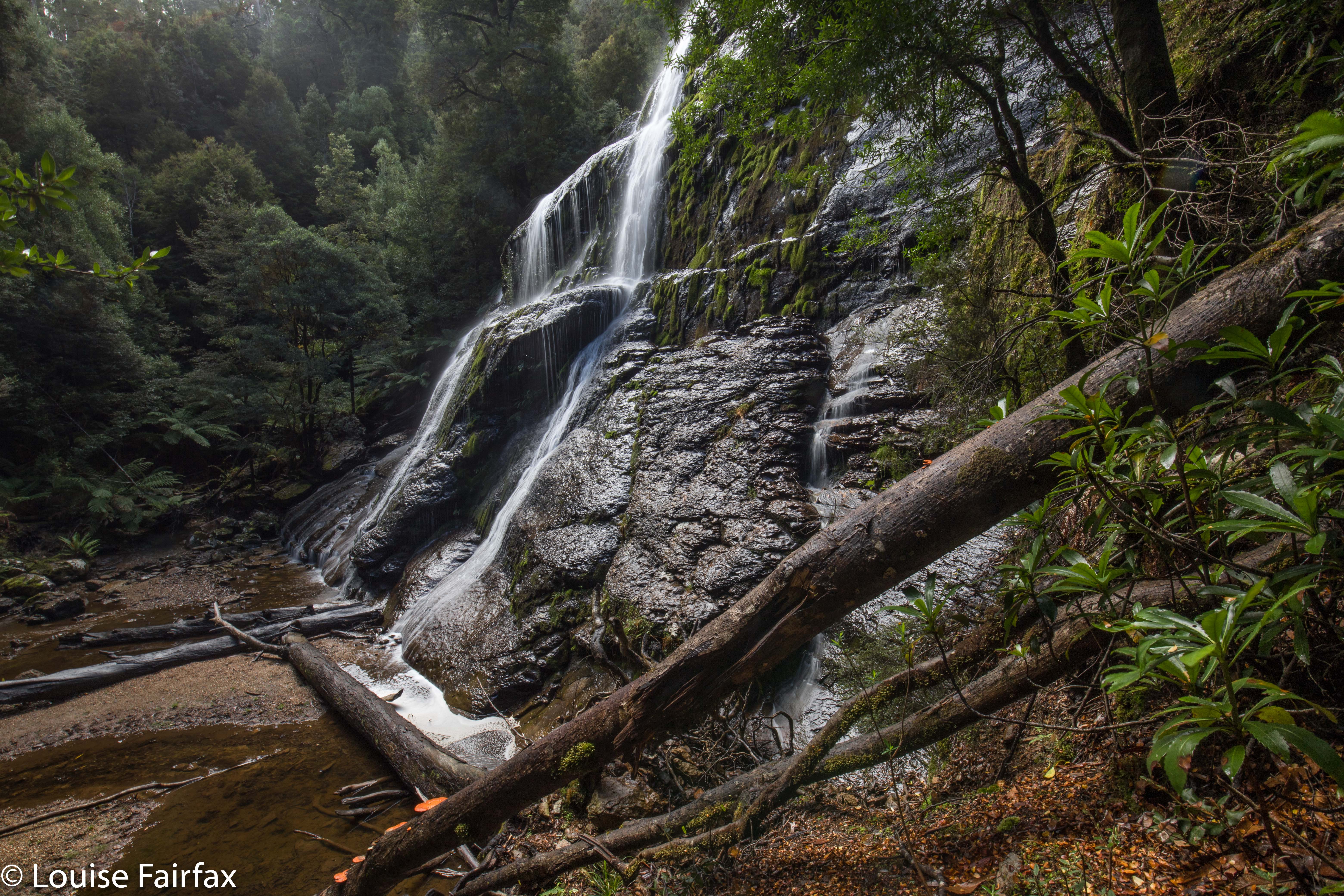
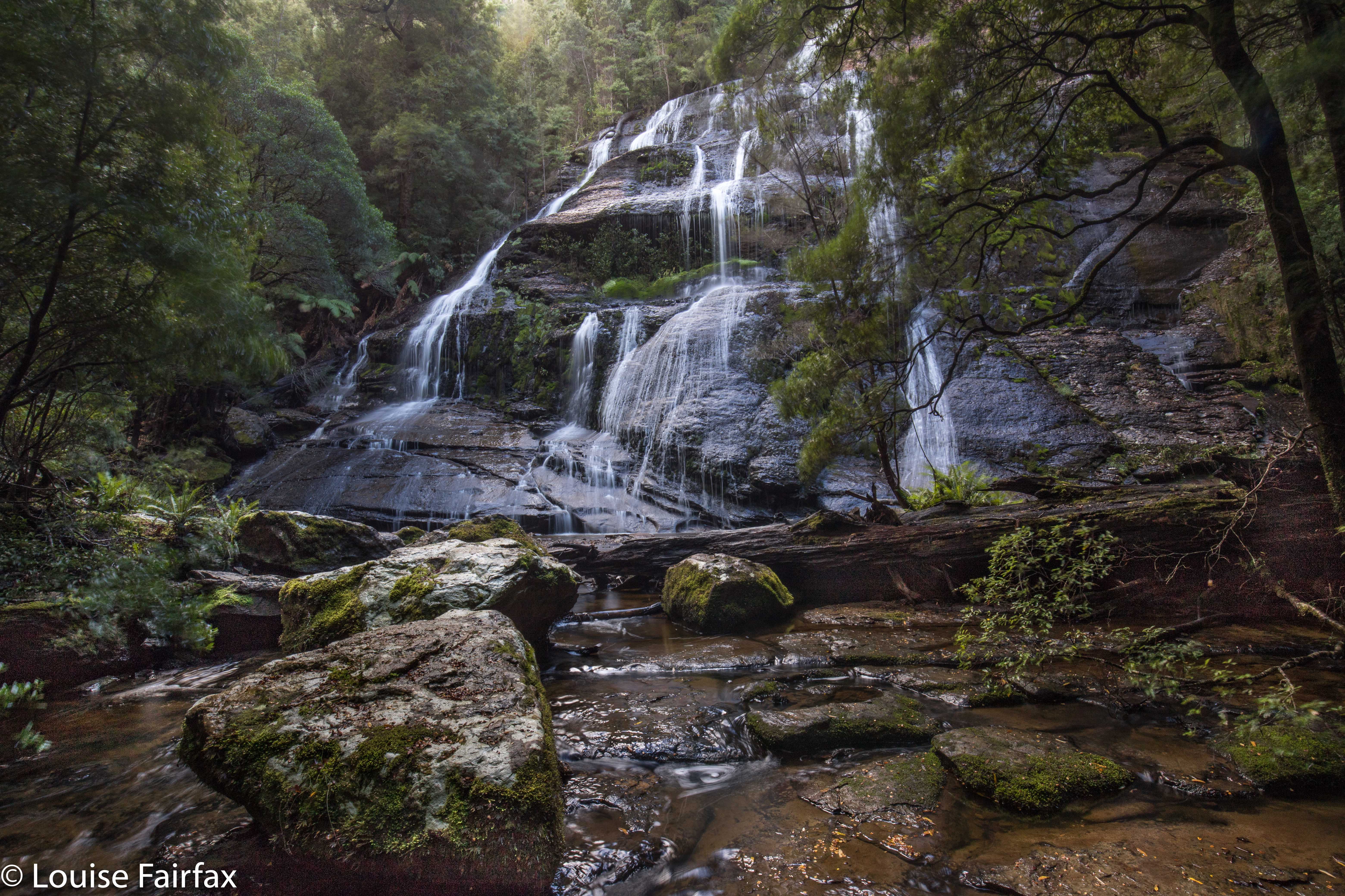
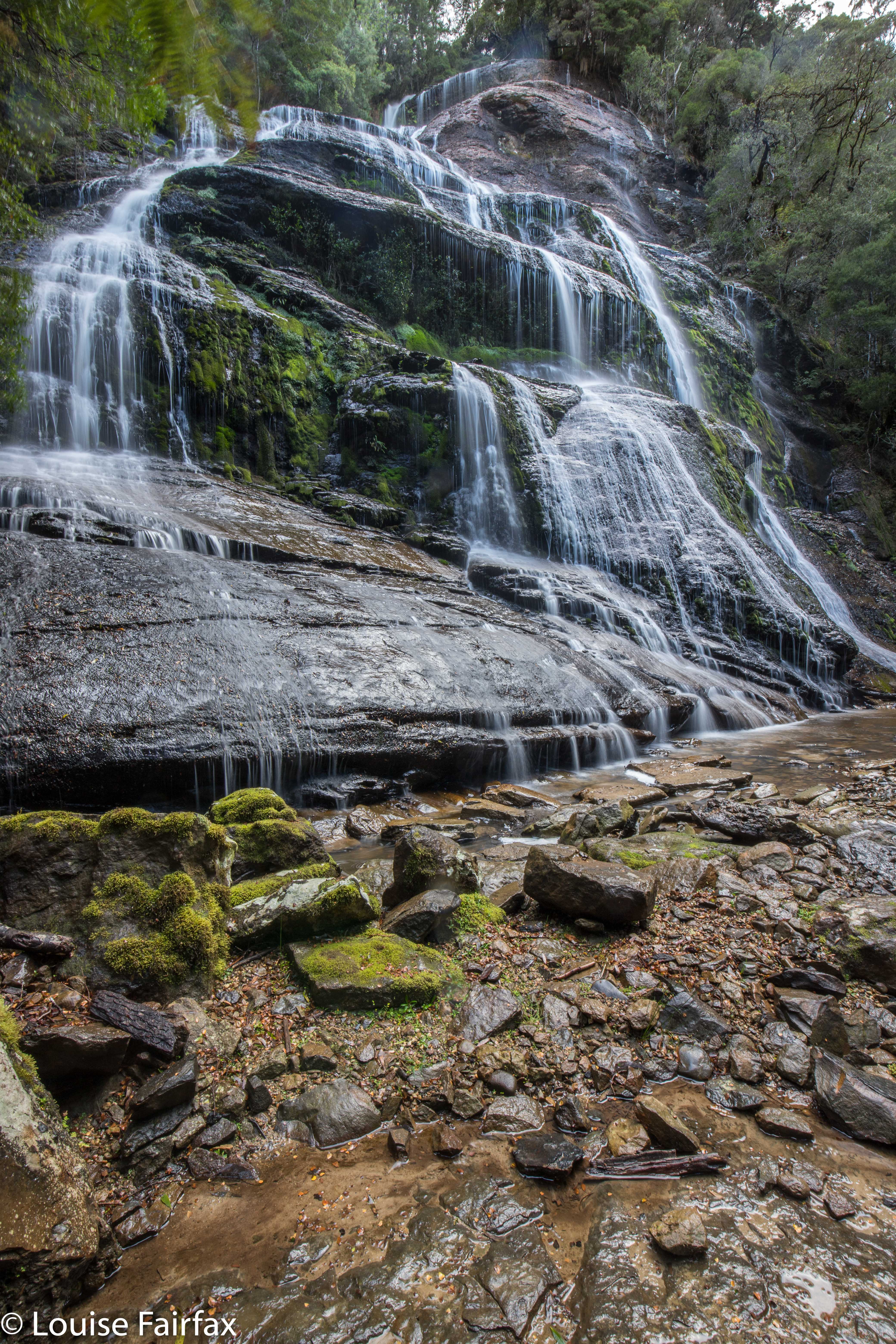
McGowan Falls, May 2018.

I had for some reason expected McGowans Falls to be a little like Lillydale or Liffey Falls, with signs, paths, picnic tables and so on. I was thus rather  surprised to discover that there was not one single direction post to the falls, no road names to give you a clue where you were, just in case you had doubts, and no “arrival status” save for a little cairn with some adorning pink tape. (Not necessarily complaining: just noting. I neither want nor like infrastructure at my falls). If you look down the track, you can see some orange tapes for variety, and even two discarded beer cans hanging in trees in the first three metres to alert you to the fact that you are there.

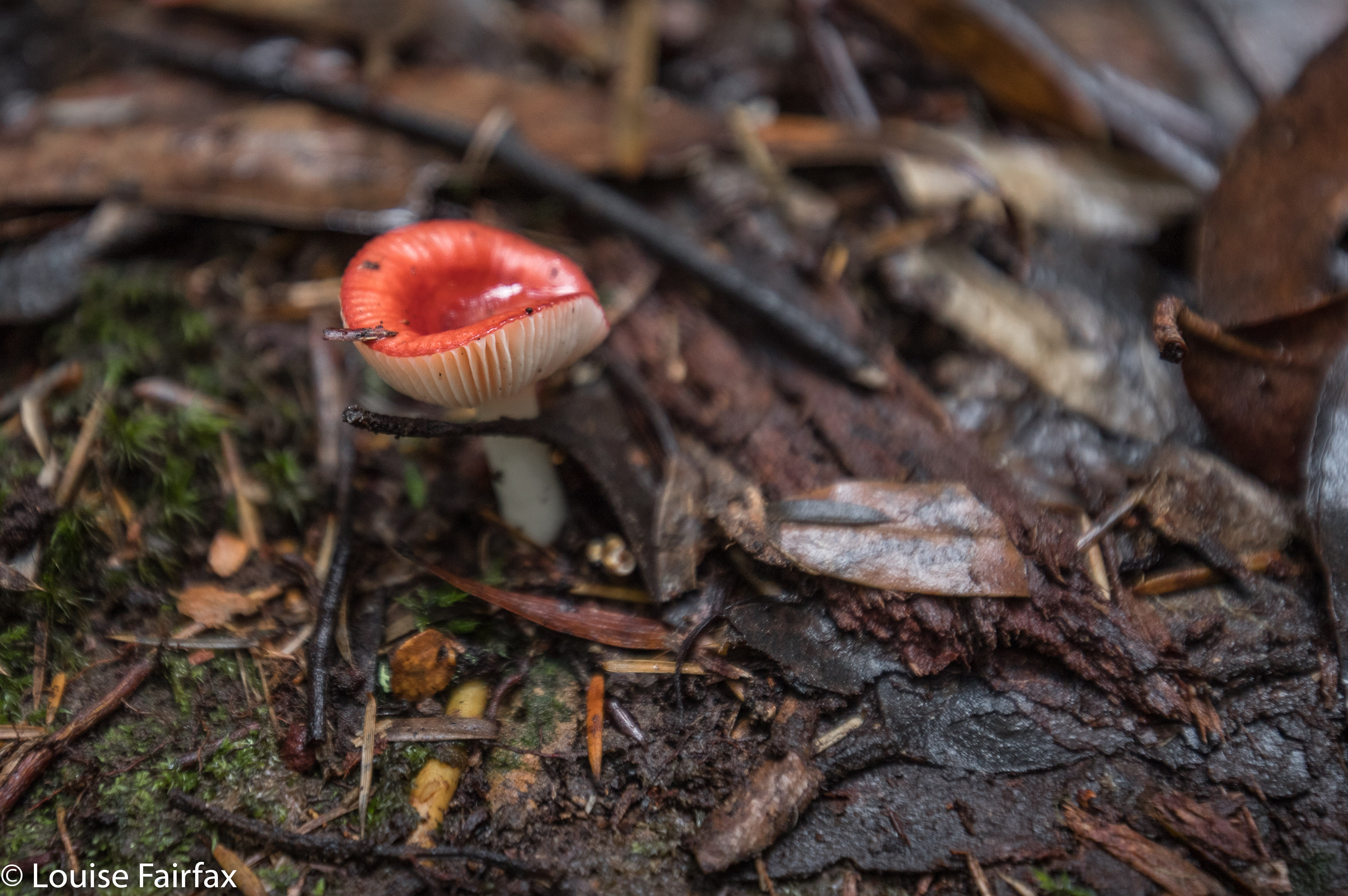
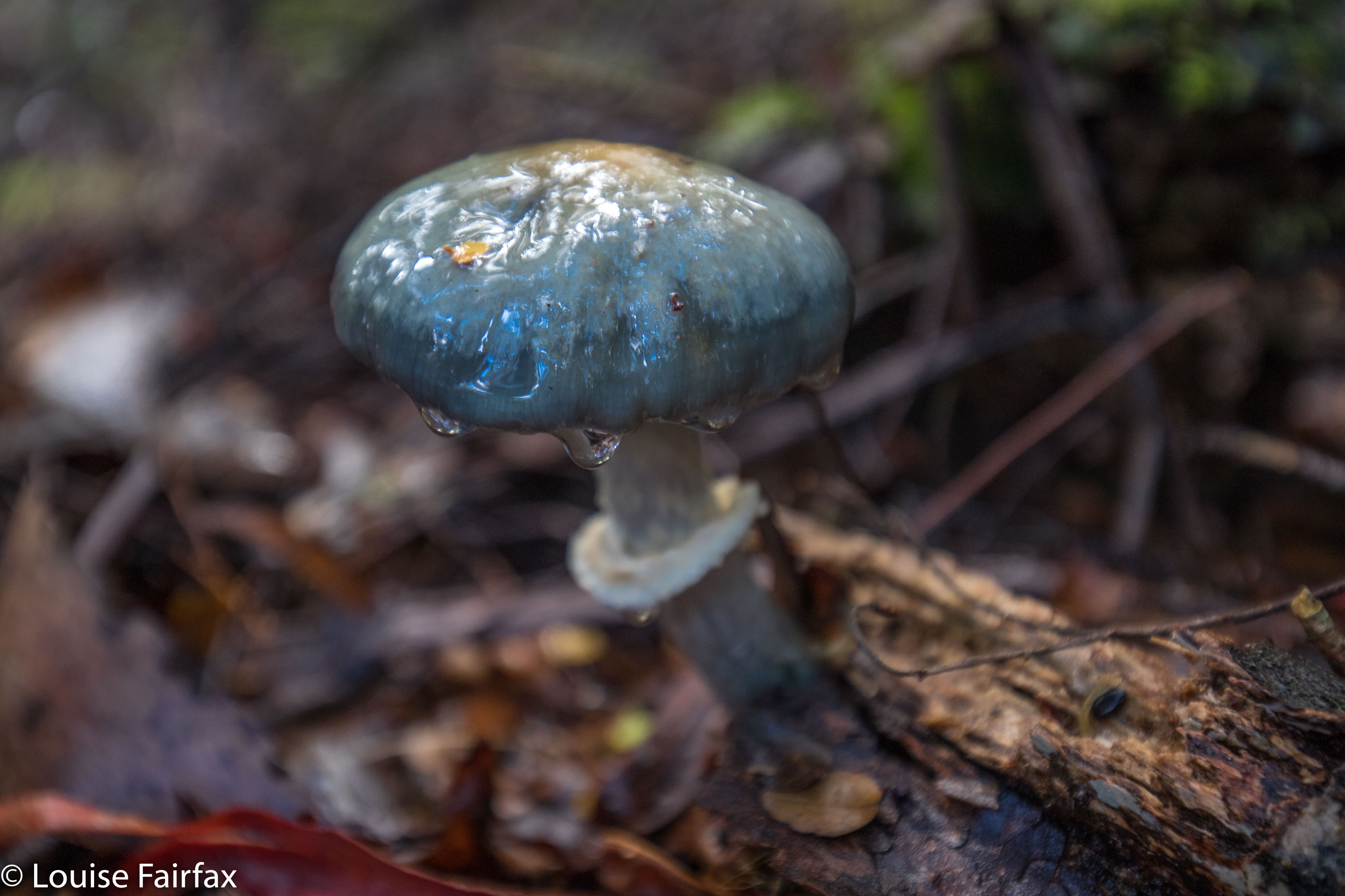
Russula persanguinea
The fact that these falls are not “maintained” means that the pad is an aesthetically-pleasing bush route; there are no metre-wide, levelled-out paths of fake material so you don’t slip; no handrails, and, oh joy, no bridges made out of that plastic stuff Parks now favours – and no viewing platforms to ruin the place. There was not even any rubbish. Weee. It had a magic feel to it.

Off you set down a track wide enough for cars for a couple of metres, and then you hang a left (taped) and your track becomes a narrow and appealing route through a rain-forested fairyland along to the top of the falls, and then down a steep climb to the bottom if that’s what you want. It’s not a big walk: it took Carrie and I twelve minutes to get from the car to the base of the falls. It took a LOT longer to come back up – not, as you might think, primarily because we were going upwards, but rather because we had agreed that we would go straight to the falls and then shoot fungi on the way back out. That took a VERY long time.


Cortinarius rotundisporus

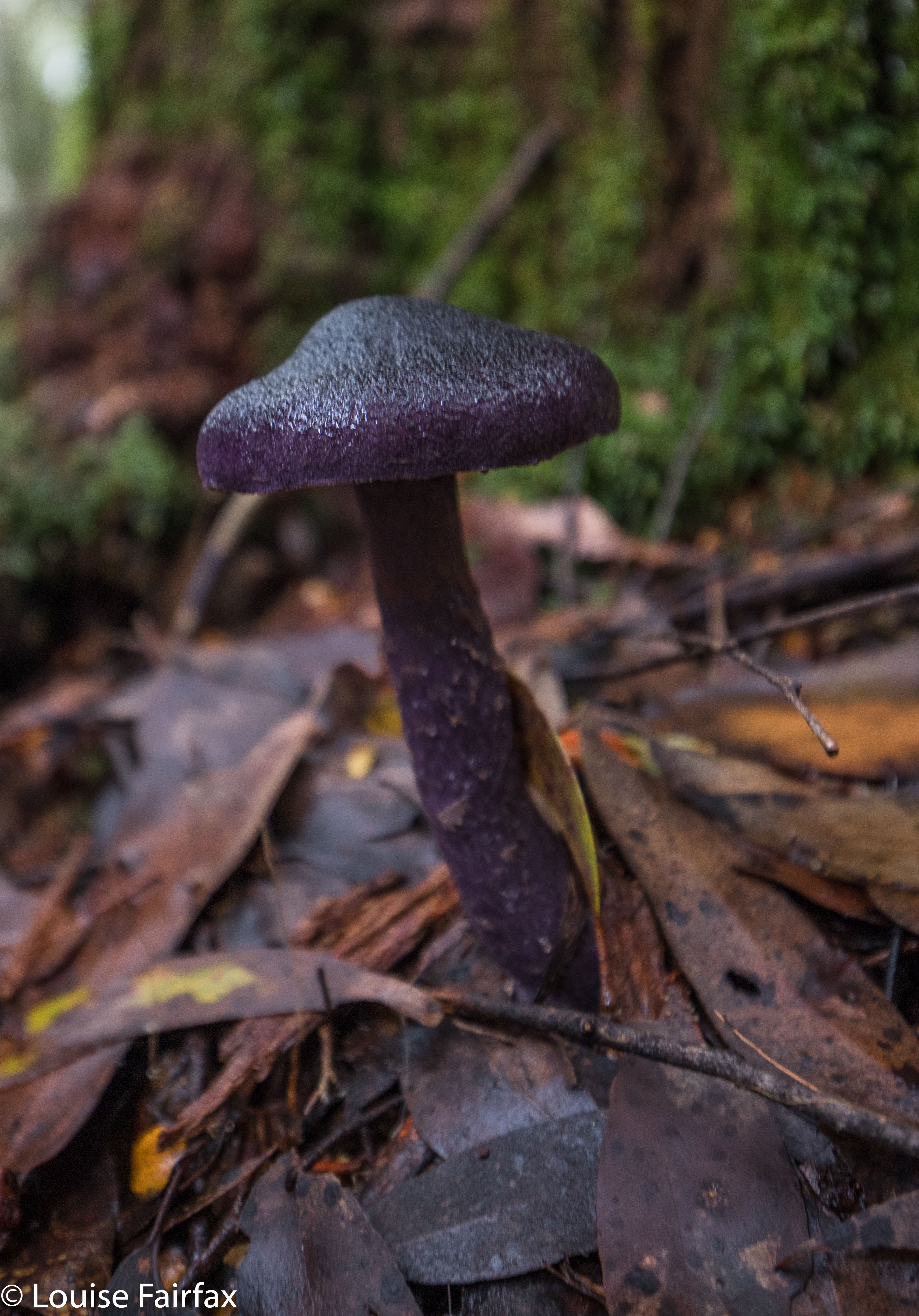
Cortinarius austroviolaceus I think. If you know better, please advise.
And how do you find the magic cairn that begins this mini-adventure? Turn down the road immediately to the west of the Cam Bridge (A10. W of Burnie), and travel on it to Yolla. There, turn right heading for Takone on what is, or at least becomes, Farquhar Road (not named as such). Stay on this as it goes through “West Takone” (nothing there) and on for a few more kilometres. Ignore the (right hand), northern-pointing Pruana (unnamed / unsigned) Road, and drive until you reach an intersection that is the shape of a fairly narrow Y. Now you turn right to join Relapse Creek Road, not that there is a sign that informs you that this is the case. I marked this intersection on my gps to be doubly sure that I was where I wanted to be and turning right off Farquhar Rd at the right spot. Once you are on Relapse Creek Road, you don’t have too far to go (maybe about a kilometre) until you see the cairn and tapes on your right. The waterfall is on Relapse Creek, downhill to your right. The route from the top of the falls to the base is not for the faint of heart. There’s one “delicate and interesting” ledge section that should be avoided by people not used to negotiating such things.

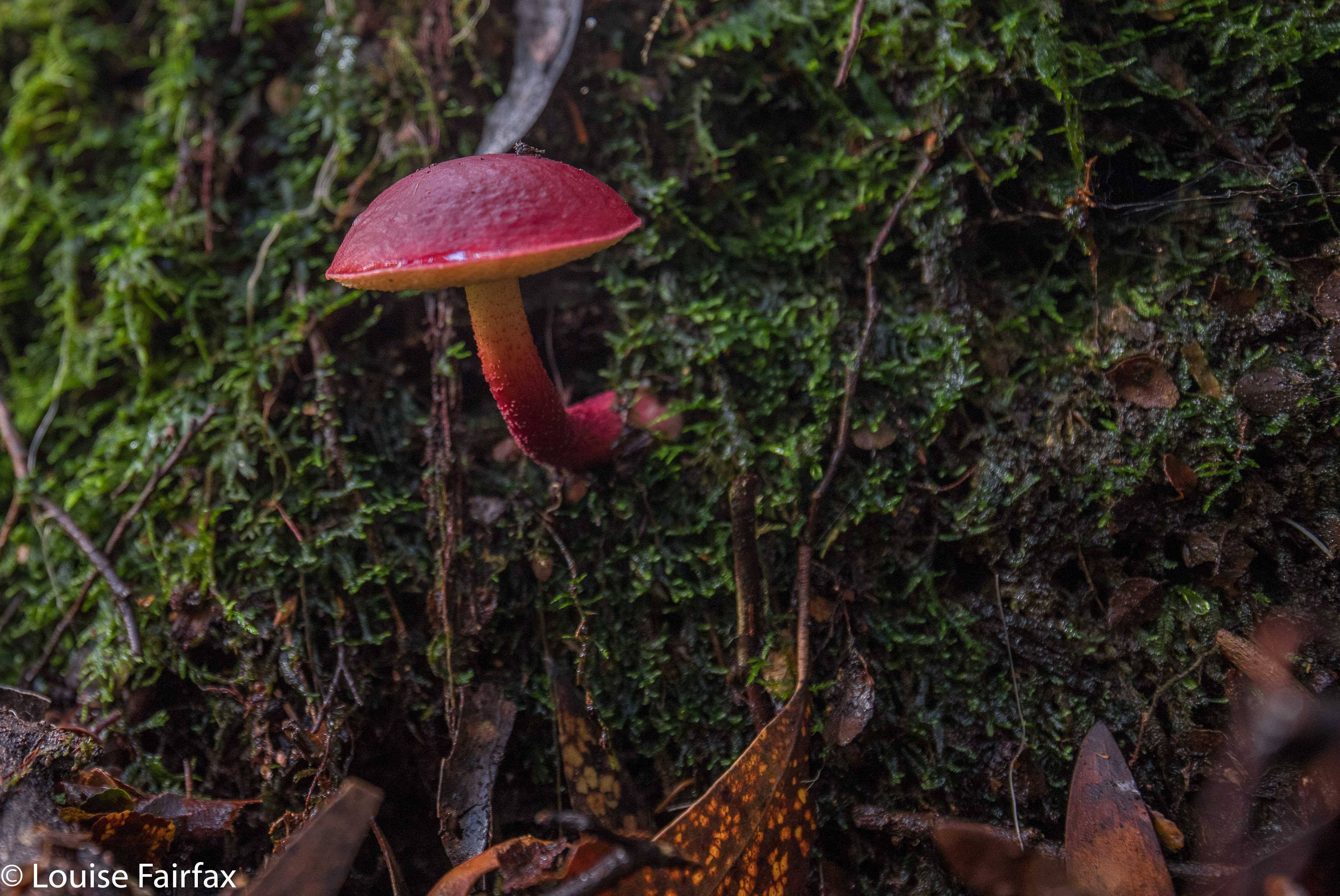
Boletellus obscurecoccineus