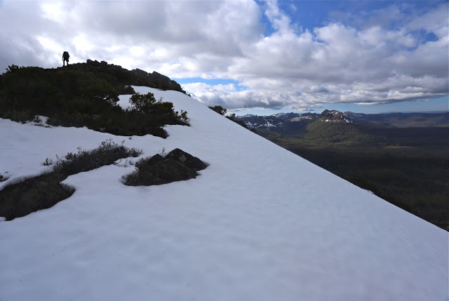
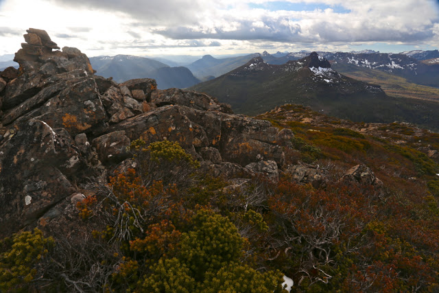
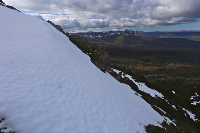
Parson and Clerk 2015 Oct

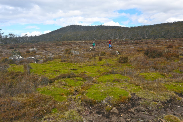
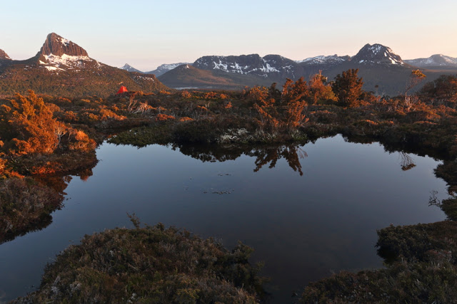
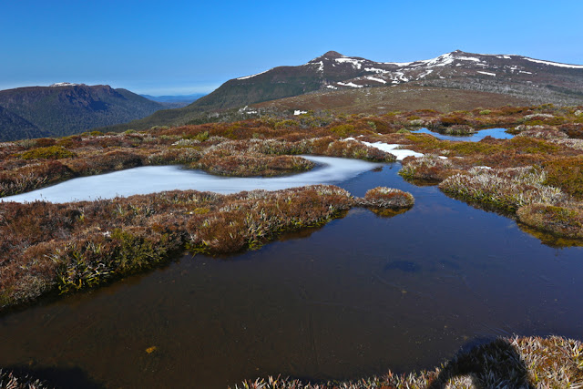
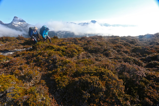
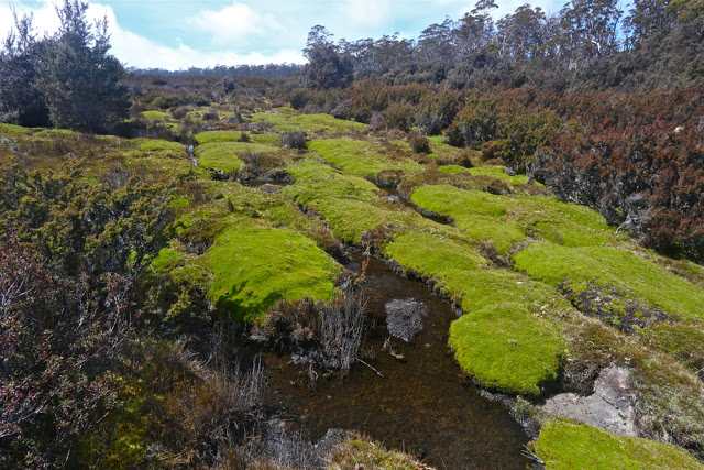
This is typical of the scenery we walked through – here, glorious cushion plants.

We giggled as we jaunted along. This was funny. We were supposedly climbing a mountain (Parson and Clerk) – one that one friend had failed to reach, and others had taken a very long time and over double our height gain to summit (hating the hakea spikes while they did so) – but here we were on flat, open, prickle-free land, having a pleasant Sunday stroll (well, Saturday, actually), yet steadily progressing towards our goal. Whilst the Abels book has you moiling up countless contours, our route would involve a mere 261 metres “climb” between the car and the summit, and a tidy 2 hrs 20 in each direction. Lest you think I’m bragging originality for this route, it is now time to give credit to “north-north-west” from the bushwalking forum, who suggested it to me. Brilliant, thanks.

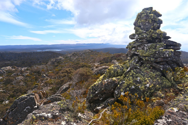
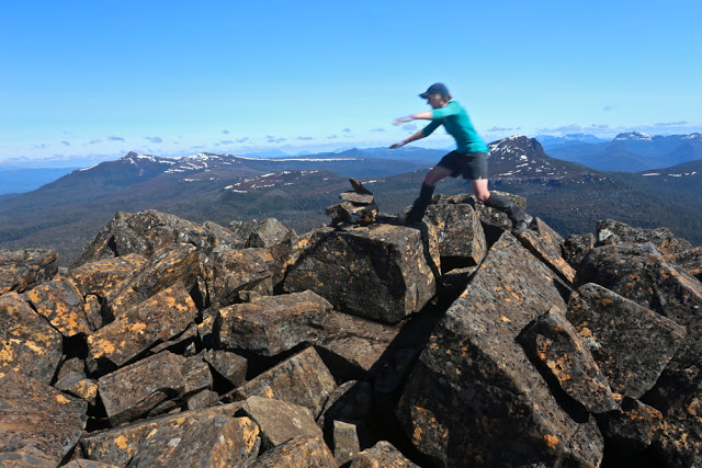
summit cairn

 The only scrub we had to negotiate was in the final hour of ascent, and really, as far as scrub goes, it was not too bad. It was possible to connect boulder lines that avoided most of it.

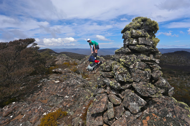
Angela at the summit

The only negative factor was the view from the top, which was about as enormous as the climb had been. My husband was not having a good day, so we had left him at the top of the first rise, giving him time to rest while we finished the mountain off, and he had enjoyed a much better view from there than we had from the peak. Angela and I agreed we’d rather be down in the south west, but you can’t be there every weekend. That said, it’s good to experience all the different mountains that Tasmania has to offer – that’s precisely why we keep enjoying this fantastic smorgasbord of possible mountains rather than climbing some favourite one every single weekend. Variety is the spice, as the old saying acknowledges.

Bruce and Angela returning from the mountain whose lower slopes are there behind them

 As with a food smorgasbord, you taste everything once (well, I do) and return for seconds of the dishes that most pleased you. This is what I propose to do with mountains: try each one once, and then spend my remaining mountain life returning over and again to my favourites (I have already, of course, begun on the second half of that programme whilst undertaking the first).

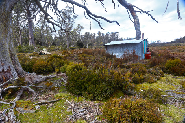
One of two cute fishing sheds that lie along the way

We won’t bother re-climbing that summit, but I think you may well find us camping one day near one of the two little huts in the plains. There was a lovely sense of space and peace out there.

Sorry, this screen shot has not turned out at all well. This at least gives you the general direction – head SSW and then SE, following jeep tracks from where the Gunns Marsh Rd ends at the boom gate, under the huge transmission lines. 

Goulds Sugarloaf, Little Sugarloaf, Coal Hill, Cuvier and Byron 2015 Oct

Gould Sugarloaf expedition. 2015 Oct

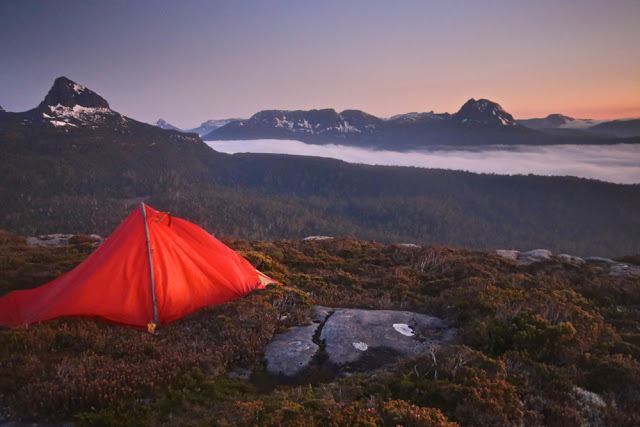
My little orange tent, with Mt Manfred, the Guardians and Mt Gould (inter alia) in the background
I don’t think Goulds Sugarloaf is supposed to be an epic. I had thought of it as a rather easy catch … but that’s before I encountered the bands of scoparia that fortify the boundaries of Mt Cuvier – or of Coal Hill and the lower reaches of Little Sugarloaf, for that matter.
The forest around Byron’s belly

These prickly soldiers are well armed, and not to be underestimated. My poor shorts-wearing friends are now battle scarred. I’m merely exhausted from all that pushing and shoving, bullying and poking that Richea scoparia is prone to necessitate.

Mark and Angela climb the final rise on to Cuvier shelf.

That said, the magnificence of the Mt Cuvier shelf, the fun of snow climbing and the views from all five summits compensated in full.

Mt Byron at dawn on day 2.

Day 1 was a rush. I’d walked this same stretch in December with LWC when we climbed Tramontane (see that blog entry for details), taking the 9 a.m. ferry and pitching tents as the sun sank at the terminus of a near summer-solstice day. This time there was no 9 a.m. ferry, so we had to settle for a midday departure, and the sun sets at around 6 p.m. at this time of year. We needed to match the LWC walking splits and take far fewer breaks than they took to get in before dark. We managed the five hours of heavy bush bashing spread over six and a quarter (hours), which included our lunch break, but that meant we only just made it before nightfall, cresting the final pinch that took us to the shelf as the sky turned pink and the mountains indigo. The white snow blotches shone like beacons; Byron glowed red, reflecting the dying embers of a glorious day as the sun sank below the jagged horizon.

Looking towards Mt Cuvier from my tent spot early next morning

We had mirrored the route of the Tramontane track, except that wicked Sirens tempted us to climb northwards rather than remaining due west for an appropriate length of time, landing us in a sea of thick junk. Now at the top at last, we pitched our tents on the edge of the shelf with a million-dollar view, and gazed at eternity while boiling our billies for dinner. The wind whipped up, and we were pretty tired, so we all retired early.

Cuvier a little later (but not much).

Day 2. After enjoying a magnificent sunrise and a relaxed breakfast – prelude to a day of very hard work – we packed our daypacks and were off, choosing to circumvent Cuvier on the way out and trust our luck at getting through the rather nasty scrub. It was alright, probably thanks to the fact that, being a wuss, I headed us for every single line of snow between camp and our destination: the ridge that comes down off Cuvier heading towards Coal Hill. “You love the snow,” commented Mark, as I headed us straight for another band. Now come on; the alternative was our friend Richy (richea scoparia for non Taswegians – a very prickly bush that hurts and destroys expensive clothing in a single kiss, as well. This poses a great dilemma when it’s raining and your goretex jacket cost you $450).

Mark on a band of snow. You can see the ridge we’re aiming for ahead: where the two rocky knolls are.

It took us just short of an hour to be at the base extension of this ridge we’d been heading for, and we gazed with a little dismay over a flat section that looked far from inviting. We all imagined some pretty serious bush ahead. Angela voted to go under cover of the trees a little to the left; I voted to swing back further right for the forest there; Mark voted to go straight ahead through the open flats and get it over and done with. We generously handed him the lead, promising that he would never hear the end of our mocking mirth if he got it wrong. Luckily for his prevailing sanity, he got it perfectly right, and led us through the muck speedily and efficiently, and soon enough we were drinking from a little tarn at the far end. Absurdly, I was already desperate for lunch, but it wasn’t yet even morning tea time. I stole a quick bite of lunch anyway.

Skirting a rocky knoll, still on Cuvier.

Off we set up the last slope between us and the first of our mountains for the day: Coal Hill. The forest had no wicked reputation that we knew of, and we sanguinely assessed its difficulty as minimal, believing we’d be celebrating the first summit in a very short space of time. Ha. Fooled. Almost imprisoned in a life sentence of immobilising junk, we made scant progress to penetrate our way out to the other side. It was a tough battle, but we fought well and eventually won. At last we could claim our first peak, and could see our goal for the day drawing nearer. The land that lay between looked completely benign. You can see it in the photo below – walk in the park stuff. Tricked again.

Angela eagerly arriving at the first summit: Coal Hill. Goulds Sugarloaf and Little Sugarloaf are on the horizon back right.

Someone forgot to mention the band of scoparia that separates Coal Hill from Little Sugarloaf. However, with our carrot literally dancing before our eyes, we determinedly pushed through obstacles, winning all small skirmishes, and were soon enjoying a marvellous snow climb, harbinger to the summit of mountain number two: Little Sugarloaf. And in less than half an hour from that, we were victoriously standing on top of our goal for the day: Goulds Sugarloaf. It wasn’t yet lunchtime, but I was positively ravenous, and it was only the thought of lunch on top that had given me momentum for the final climb. I began stuffing my face long before I bothered touching the summit cairn. It was amazingly peaceful sitting up there gazing out at the cornucopia of mountains all around, each one blotched with remnants of snow to enhance its beauty. The only marring factor was that we had taken 3.5 hours to get there, and could count on at least that many hours of hard bush fighting for our return. I scanned the horizon for a friendly helicopter but, with none materialising, off we set stoically to undo the distance we had done.

Icy tarns and pleasant walking in this (small) section of the route.

We managed to find more horrid prickles and walls of fierce scrub on the way home somehow. Timewise, this was compensated for by some very fast snow slides, especially off Little Sugarloaf. I had fun kind of ski-skating down in giant strides. Angela adopted the enjoyable method of a bum slide, leaving smooth marks in the snow as if a wombat had tumbled down the slope. Mark opted for a more conservative method of descent. All methods worked well. Our faces glowed with pleasure as we looked at the three sets of tracks in the snow that we had left behind.

A moat protecting Little Sugarloaf
Once we got back as far as the base of Cuvier, even though we suspected it would take longer, we decided in favour of climbing over the mountain on rocks rather than going around though the bush. Besides, Angela hadn’t yet summitted Cuvier. Unfortunately, however, it was on the approach to this mountain that she decided to do a spot of research for a book she has in the pipelines: Mountains to Spew on. Bound to be a best seller. She has quite an interesting collection of mountains in her portfolio thus far, her migraines helping to provide occasion for her data.

Stunningly, despite her research schedule, she pushed on valiantly to the top, never slowing her pace. I can’t begin to imagine walking with a migraine. She is an incredibly brave person. While I was noting my extreme hunger, she had lost all her calories from lunch, yet was still walking well. This is beyond my capabilities, such as they are. I swallowed some more honey and nut bar to help her along vicariously.

Snow on Little Sugarloaf

Mark rearranges the summit cairn on Goulds Sugarloaf before taking a break to snack.

Mark nearing the top of Cuvier.

Cuvier summit. Mountain number four for the day. It’s all downhill from here.

The slopes of Cuvier. This is what I call fun.

This time we arrived back at the tents in plenty of time to relax before dark. Unfortunately, the strong and biting wind that had arrived as the day wore on drove us into our own little tentspace. I reclined in my wonderful shelter, propped up from behind by my rucksack, my vestibule “awning” up, and stared out through my feet at the sublimity stretched before me, slaking my appetite with soup, and then hanging in there until legitimate dinner time (6pm).

Dawn next day
Day 3. If scoparia bands don’t count as events, then day 3 was uneventful. We managed to find faster routes through the scrub than on day one, so arrived in good time at the base of Byron. This time, as with Cuvier, we voted for “up and over”. It was very, very steep going up – at times it felt like vertical – but I personally find this far more relaxing and enjoyable than fighting bush.

All you had to do was grab roots or trunks and haul yourself up, rising with each pull  through glorious rainforest. Climbing is fun. Soon we were at the rocks which marked the base of the final palisade of Byron. We dumped our packs once we’d intersected with the cairned route that approaches Byron from the Gap and we were at the top in a mere eight minutes.

Byron at dawn


Manfred, dawn on day 3.

Angela and Mark set out, day 3.


Hoorah. Angela leaps to summit number five of our route: Mt Byron. GSL, LSL, Coal Hill and Cuvier are in the distance behind her.
We munched on muesli bars to savour our view for longer, and then went on our way, eager to be back at Narcissus to ensure our place on the boat. We arrived with an hour to spare, having dined on Byron Gap once we’d rejoined a real track. How very relaxing. And now, at Narcissus, our work was done. We slumped on the verandah of the hut, staring at the creek through the gum trees for a while, and then sauntered down to the jetty to stare at the lake and chat to a happy group of OT walkers whilst listening for the sound of an approaching motor. Peace. Contentment. Pleasant exhaustion.

Pavement Bluff 2015 Sept

Pavement Bluff, Sept 2015.

The view north towards Pavement Bluff from Broken Bluff. Heading DUE north at this stage is not such a good idea.
I had endured a torrid week; my friend Angela had missed last week’s walk and was feeling mountain and exercise deprived; Bruce (my husband) had had an alarmingly busy week at work. It was time for the three of us to experience the recuperative and restorative powers of the mountains to heal body and soul: time to withdraw and take stock of things in life far more important than keeping the economic system rolling. This was a perfect day, then, to head for the nearby Ben Lomond Plateau and climb a new mountain.

Once more, a view to the north towards Pavement Bluff from the Broken Bluff playground.
It looked as if it’d be cloudy, but for me climbing a mountain is far more about getting to know that mountain, about feeling the wide open spaces around me, uncluttered by signs of “civilisation” than it is about seeing some panorama or other. For me, each mountain has its own distinctive feel (which is why I also like to give each mountain its own little story; its tale is, for me, part of the character of that mountain). The vista is part of what it has to offer, but I love the minutiae as well.


Now, only the creek, with its gully, separates us from the Bluff of today’s goal.

We’ll have to return to Pavement Bluff to see the view that I can only suppose it has. However, we are now well-acquainted with the tapestry of reds and browns, ochres and rusts it offered us, enhanced by the encircling mist, sometimes tantalising us with a quick exposure of dramatic cliff lines before it once more drew the curtains.

Angela and Bruce stride out while I play paparazzi for a while longer.

It was a lovely little jaunt: 1 hr 20 to the tops. We played around up there, mounting assorted high points on Broken Bluff and then proceeding on, northwards, to Pavement Bluff where more exploration and photography took place. There’s a creek on the south side of the bluff, so on our way back we stopped there for lunch before once more passing Broken Bluff and descending on the track in the gully to its south, back to the car parked at the track’s end.

There were two summit cairns on Pavement Bluff. Here is Bruce about to reach what we dubbed “Summit A”. It had the more impressive cairn. You can see the smaller cairn of “Summit B” in the background. The map had no black dot.
The track is a little overgrown, which poses no problems for anyone with experience. If you are new to bushwalking, just remember that you may need to scout around in one or two spots to pick up the trail again. Don’t go up without a map and compass – and preferably also, a gps. There are two dirt roads that the track crosses that are not on the map and that may confuse if you’re used to perfect maps. The track itself is on maps.

Angela, about to do one of those “just in case” touches of Summit B.

ENGLAND Lake District 2015

Helm Crag. A pre-breakfast climb to begin our trip

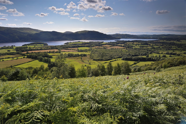
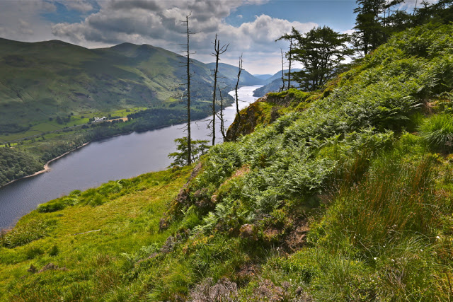
I am trying to climb all the Wainwrights (Lakeland Fells). “Isn’t it perverse,” I hear you say, “going to the Lake District to climb peaks when Tassie has so many mountains of its own?” It can seem so, certainly, especially to those who judge a mountain’s worth by its height. If this is your criterion then, yes, forget it. And if lakes are to be judged by volume and impressive dimensions, then forget them too. This is not the country for that kind of importunate drama. However, if you find beauty in subtle shifts of colour and form, in lines and patterns in the landscape, in amusing lumps and bumps as the land progresses upwards; if you love the mixture of verdant green with blue or steely grey, then you might begin to understand the allure.

Seat Sandal

And if you have a head full of English Literature (especially that of ancient times) as my husband and I do, then you might understand even more.

Descending Seat Sandal

“OK,” you say, “a holiday, sure. But why bag peaks (Wainwrights) there when there are great Abels and other mountains to collect in Tasmania?”
“Why not do both?”, I retort.
And why did I get started on this idea of wanting to climb all the Wainwrights in addition to as many of the Abels as I can? We were drawn to the Lakes initially because of what the area meant to the poets who claimed part of our imagination, and have continued to return for what it means to us in its own right: for the nuanced beauty it contains. We lived in England for a while before we had children, and have returned since for a term to do some research at Oxford; as an athlete I trained in the Lakes for a month in preparation for the World Championships in 1993, and competed on the fells I now walk over.
Somewhere along the line I began ticking the ones I’d climbed in the index to my Wainwright books, and from there developed the idea of ticking the lot.

Fleetwith Pike

We adore our lifestyle in Tassie, and the bushwalking we do here, but we also treasure the Lakes and the regime we adopt while there. I am a completer of things I begin, and now that I have commenced this mission to climb every Wainwright, I won’t stop until I’m finished. And then I’ll turn around and begin all over again, just like I do with a good book. These mountains are now my friends and, having got to know them, I want to keep seeing them. Once will not be enough, but I want to taste everything on the smorgasbord before I go back for seconds in any systematic way.

Rannerdale Knotts

Although the view from a peak in Tassie stretches further in many cases, and although the scenes tend to be more wild and rugged, the view from a Lakeland peak still has the capacity to thrill and to connect the soul to the infinite.
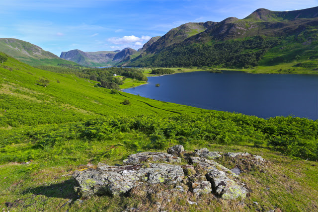
Rannerdale Knotts to Loweswater

And if you think the fells are too tame and unchallenging (which is what some say to me), then perhaps you haven’t done them justice, or are judging them without having been there. You can die just as easily in the fells as you can in Tassie (if that’s the level of excitement you’re seeking); in fact, due to population differences, there are more Fell deaths than Tassie wilderness ones. If you find them unchallenging, I suggest you walk faster, or choose routes that are more direct – straight up the face if you will. One creates one’s own challenges in the fells, just as here. I know I have led us into some pretty precarious situations in thick mist over the years, especially on the day a few years ago on Swirl How when my compass said that every direction was north and the ground said nothing helpful at all. That day, a young guy (25) died within a kilometre of where we were, falling off a precipice.
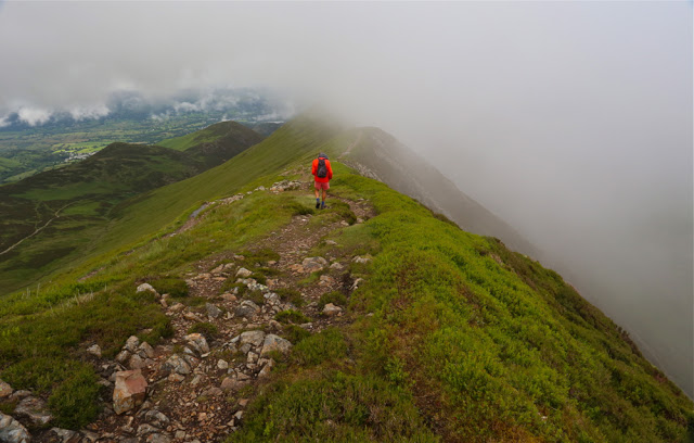
My husband trying hard not to kill himself on the way to Causey Pike. As you can see, there are opportunities for this activity off to the right, especially if you have Parkinson’s Disease. My husband finds ridges like this to be very challenging. Logic says if he fell to the right exactly now, he would not fall down the mountain, but that is not how his emotions feel it.


Loweswater. Plenty of scope for a gentle walk after dinner.

The Fells and Tasmanian mountains each demand a different type of fitness. In Tassie, as you are fighting bush down lower to get to your peak, the going is often very slow. You need strength and endurance. In England, you can run up the fells with your heart pounding (as long as you are not lugging a full-frame camera). You can do ten or more Wainrights before lunch if you choose the right ones (even with said camera) and are very fit – unthinkable in Tassie. Ten Abels might take you a year if you’re nearing the end of the count and have left all the far-flung ones to last. I have a strong, fit friend whose experienced party took ten days to get a single mountain, and it was only 800 ms high (thus not an Abel. Only mountains over 1100 ms are Abels). This variance does not make one type of mountain superior to the other; it just means that the style of walking (and the gear) required is different.

Climbing Long Side
In Tassie, if you are collecting Abels, as said, you must be very strong, as you can’t do it without carrying a heavy pack for the multi-day excursions required to reach some of the peaks. In England, a day pack is all you need. Both types of mountain require map and compass skills.
I love my heavy pack as a symbol of freedom and adventure, but I also love this cushy daypack business for a pleasant break, and I adore being able to move much faster. I feel great pleasure moving quickly, especially in nature.
Crummock Waters – a little walk with friends before dinner at the end of the day in the mountains 

My husband loves being filled to bursting point every breakfast (which never happens at home), and I don’t mind climbing a mountain or two waiting for the very late – agonising – hour of 8 a.m. when this breakfast is finally served.

Crummock Waters

And it’s pleasantly sociable climbing in the fells without it being crowded (but then, I have long since climbed the icons like Helvellyn). That said, we had Scafell Pike to ourselves last year on a return visit. We climbed it yet again, just because the sun was shining when I suggested we go up, and although I’d climbed it four times, I’d never seen the view. Alas, I still haven’t. As in Tassie, the weather changes very quickly. I have an excellent collection of photos of my husband surrounded by grey, all claiming to be taken at different times on the top of Scafell Pike.

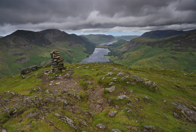
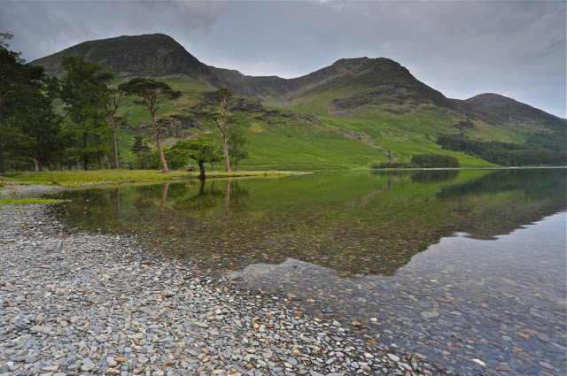
The famous waters of Buttermere (whilst waiting for one of the notoriously late breakfasts).

I enjoy the fact that on the most horrid of days, in a spot that you think is totally outré, you can still come across a fellow traveller. Of course you have a chat. I love to meet people who are as crazy as I am. They’re my type. You have a short exchange and then diverge, for there are endless possible routes in the fells. Sometimes you just give and receive a smile of complicity, a recognition that here is another person smitten with the same disease and the same penchant of going out into wild nature even when it’s furious – sometimes precisely because it’s so raging, as there’s something fun about being out there when nature is trying its best to destroy you. That is wildness as opposed to wilderness. I love both. So did my “friend” Goethe. King Lear’s rages in the storm suggest to me that even Shakespeare knew what it was like to be out there in the inclement elements. It is exhilarating (not that Lear found it so). Elizabeth Bennett loved it too, and I love her (and Jane Austen, her creator who loved to walk).
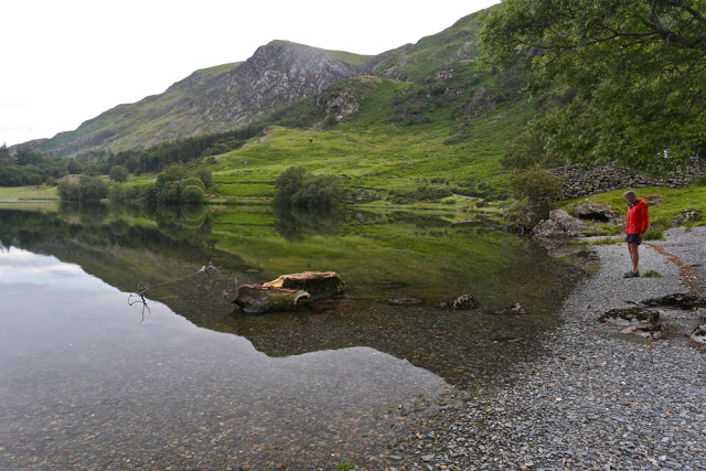
Buttermere again

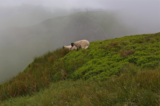
And where else in the world does a sheep beat you to the summit?
Where else does a sheep show you that here is a possible route down when you’re in a fix?
I love a summit cairn that materialises out of the gloom with the shape of a welcoming member of ovis aries beside it. Unfortunately, they seem very camera shy, and the minute I pull my lens cap off, they’re away.

Walla Crag
From Raven Crag, looking towards Thirlmere

Tassie’s weather is wild, especially along the tops of the southern ranges, and yet it is only in England that I have been reduced to worming my way along the ground in order to touch the summit cairn. Only in England have I been a mere two meters (horizontal) from my destination yet been in serious doubt about making it. Each centimetre was a fight against a blast that threatened to lift me right off the mountain and deposit me somewhere a long way below. If you think there’s no adventure to be had in England, then you just haven’t tried.

High Rigg. This was the windiest summit my husband climbed. The one where I crawled, I had to do solo while he sat in the car and counted the pairs who began and gave up after five minutes.
Friendly sheep near the summit en route to Sail
 

A note on planning: Another factor required by both areas if you are actually trying to collect all the peaks, is careful planning. I spend multiple hours at home before we leave with maps spread all over the bedroom floor, plotting the circular routes we’ll do each day. Sometimes I think I spend more time planning than climbing. It’s like a mini rogaining competition. Once you’re into the end game, you can’t just haphazardly do a mountain here and then decide which one to do in the afternoon. Clusters have to be worked out to minimise or avoid unnecessary travel. When you’re just beginning, this is not so essential, although it makes sense to have a base and climb as much as possible from that point. Now I am discovering isolated mountains carelessly left behind when I was in an area. In two more trips of one week each I’ll have finished my Wainwrights, and one of these trips will be a kind of mop up operation, like a wife tidying up, picking up the strewn bits left here and there by a neglectful husband or kids. At least these strewn bits are beautiful mountains, but on this trip I will have more than the usual amount of driving. I already have it planned. It is feasible.

In Tassie, the planning has more to do with weather and finding the best route up the mountain, which usually equates to extracting from somewhere information about patches of thick scrub and how to get around cliff lines on the ground but not on the map. In Tassie, other walkers and bushwalk.com are both indispensable. In England, when researching routes, the site I use, which has fantastic information not only about routes, but also has wonderful pictures and information about the best place to leave your car, is the blog put together by David Hall: http://www.walkthefells.net/ . Unfortunately there is no listed way to contact David. I would so dearly love to write and thank him for the fabulous help he has been in my little quest, but there is no email. He has been swamped.

Collins Cap 2015 Aug

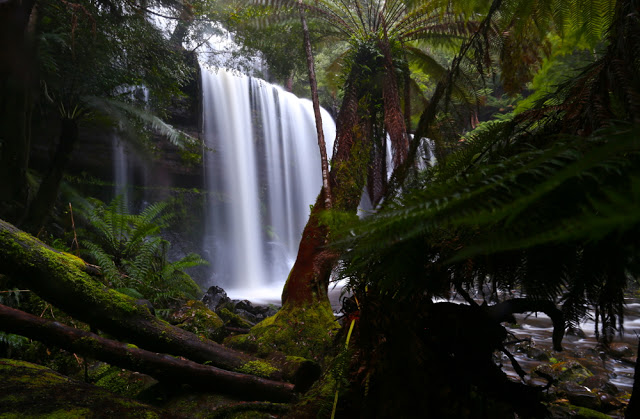
Russell Falls – not a bad alternative to playing in the snow.
With a good dumping of snow forecast for the weekend, it was hard to choose where to go to capitalise on this wonder. The best snow seemed to be for Mt Field, so we planned to go there. Luckily, I threw my Wellington Ranges map into the car, just in case. I say “luckily”, as we gave little forethought to the fact that we were going to the snow in a 2WD; that is not always a good idea. We don’t even own any chains that fit it. (Our 4WD was out of action this weekend).

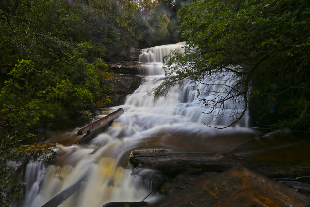
Lady Barron Falls, looking very dramatic with so much water

I did actually get almost to the Lake Dobson Carpark, but there was a lot of snow, and I was nervous about hanging around. If conditions got one iota worse up there – which tends to happen in snow storms – then we were in a pickle. We retreated, admired (and photographed) two wonderful waterfalls, and then drove to Hobart, resorting to my plan B for the morrow, which was to climb Collins Cap.

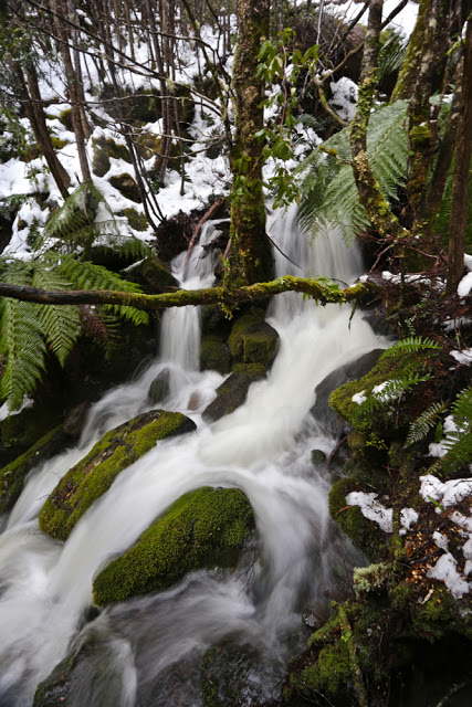
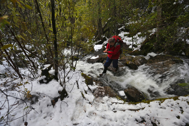
I was rather excited to see that there was snow in the Myrtle Forest picnic area car park as we pulled in. This boded well. I looked forward to seeing the cascading creek with its banks decked in snow. It did not disappoint. I wondered about the creek crossings that lay ahead – how icy and slippery they might be – but left that as a problem for later.  As it turned out, they were manageable – just.

The second crossing – the easier of the two.

Just before the second crossing, we met a jolly trio of HWC members, whose footsteps in the snow we’d been following the whole time. Unfortunately they had turned around just after the creek, and were on their way back to the car. Somehow, in weather like that it’s nice to think of someone “up there” ahead of you; someone else wild enough to be on the mountain in snow with further storms forecast. Now the only footprints in the snow were those made by Paddymelons and wombats. I find it endearing that the animals of the forest choose to use the pathways created by humans for humans. They are smart enough to pick that these routes offer the least resistance to forwards movement. Once, after a snowstorm on Cradle, I was on the boardwalk following tiny footprints in the snow, and here I was doing it again. The path was not marked on the trees. I was deciding on its whereabouts by picking the clearest line through the vegetation – a method that became harder the higher we climbed, as vegetation thinned out.

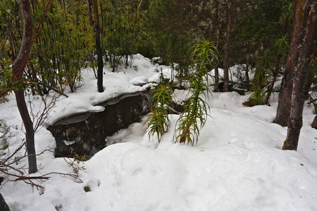
There’s the best line. Straight through that puddle.

My husband got to follow my prints.

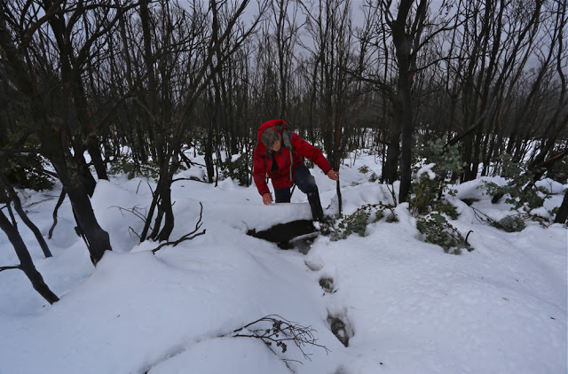
The beautiful rainforest, firstly characterised by ferns and later by small pandani plants with snowy caps on, eventually ceded to burnt out snow gums, especially once we’d crossed the fire trail. Climbing in some sections was very steep indeed. I guessed there were rocks under the snow, as otherwise I think we would have slipped downhill a bit. My foot found it easy to kick into or onto something horizontal despite the severe angle of the snow.

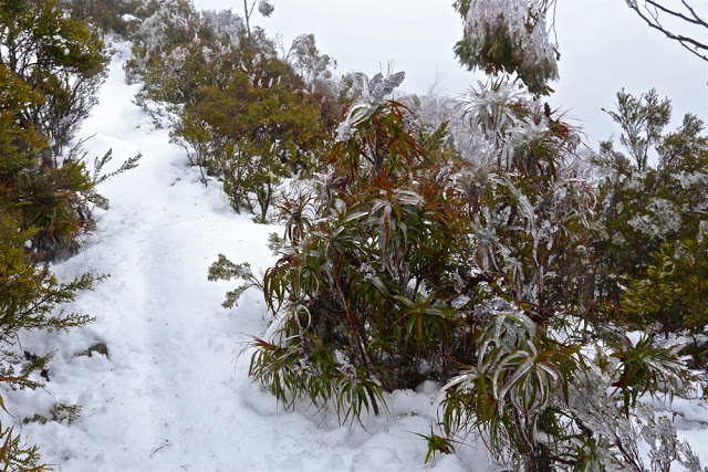
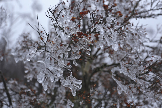
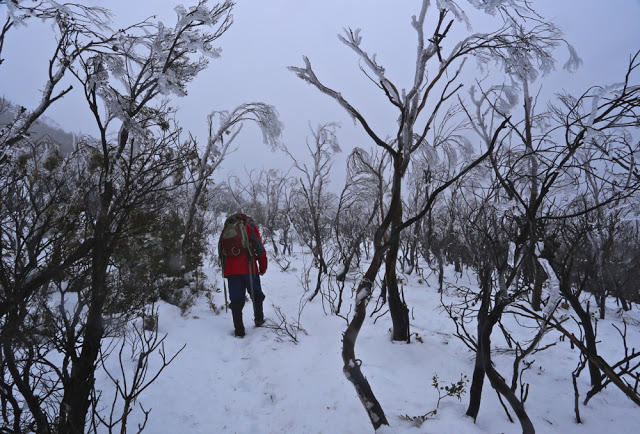
Clouds began encircling us; visibility lessened. Just as my husband’s “I think we should turn around” kind of noises increased, I gasped. Up ahead I could see that every single tree and bush had a glorious coating of ice. We were in fairy land. Sorry, but I was not turning around in the presence of beauty such as this. As long as it didn’t actually snow, I knew the way down would be much quicker than our ascent, not just because of not fighting gravity, but also because I was doing all the step kicking and all the route finding on the way up. As long as I could follow our own footsteps down, the task would be halved. On we marched.
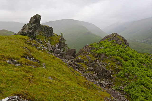
 

Fagus adorned in white, sparkling jewellery.
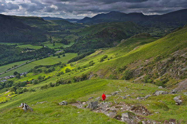
Nearly there. B taking the lead so I could take a photo of his back as the ground levelled out for the summit.
As I suspected, the way down was almost lightning fast. Speeds in the snow on the way up had been extraordinarily slow, which is why the other group had turned back. You needed to be prepared to take twice the normal time to factor in for step kicking, general caution and deciding where the track might be once things got vague. I had fun in the snow. I would have liked to use my macro lens on some of the formations, but moving was a high priority in those conditions.