FRANCE-SWITZ Haute route 2012

FRANCE-SWITZ Haute route: Chamonix to Zermatt 2012 July
The Haute Route from Chamonix to Zermatt is such a classic and famous high-level walk, you would think it would leave an indelible mark on my psyche, would fill me with waves of nostalgia for its beauty as many of the other paths I’ve done have the capacity to do, and yet, there is a certain something that is lacking in my emotional response to this route. It was filled with beauty, indeed, and we met some great people, but I guess the problem is that, unlike on almost every other trail we’ve done, we did not meet anybody at all who was doing our particular version of this route, and the friends that we made were only with us for two to three days at most before our paths diverged – a byproduct of the many options on the haute route. There was no air of shared excitement or pilgrimage; everyone doing it was pretty matter-of-fact about the task. It was just another route. Also, several people had guides, and it seems to be the case that people with guides form their own, closed circle and don’t readily mix with others. I have learned that beautiful scenery is only one of many components of a great walk.
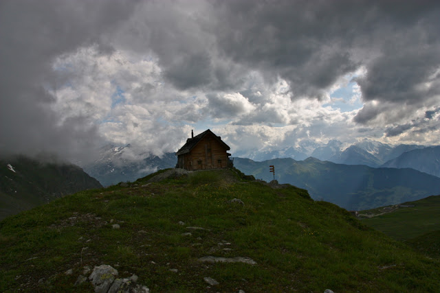
Once we crossed into Switzerland, everything changed. Here is the first hut after the hotels at Champez du lac – Cabane Mont Fort. We felt it looked like something out of a fairytale, perched high there on that hill, and yet it felt strange. Not one person spoke to us. We wondered who was doing our route, as there had been walkers going in every direction from Champez, although nearly all of them were doing the Tour du Mont Blanc. Now our route had its own funnel. The hut was crowded, but we were alone.

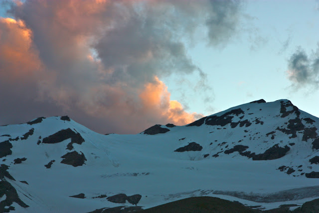
Sunrise from the next hut, Cabane Pflafleuri. We still hadn’t made any friends, or met anyone who was doing the haute route.
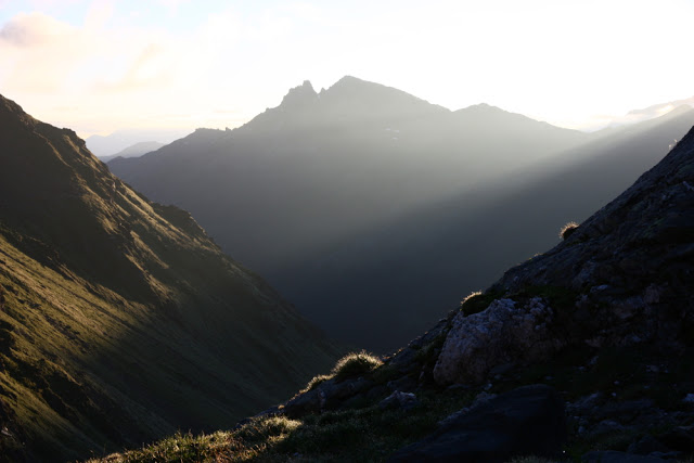
Friends or no friends, the sunrise was beautiful. but the lack of friends made me realise that, much as we think beauty sustains us, we are, au fond, social animals, and beauty combined with meaningful human contact and fellowship is the best recipe for an enjoyable experience. Normally I make heaps of friends in the mountains, so this was a new experience.

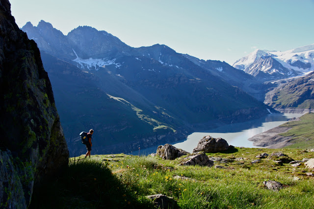
After Cabane Pflafleuri we climbed up and over the Col des Roux, to emerge at a window revealing this beautiful valley, at the end of which  was our next cabane, Cabane des Dix. On the way, we made our first friend, a Parisian, Fabrice. At last there was someone else to share the joy of the journey with, to laugh with and to get to know.

Nearing the cabane des Dix

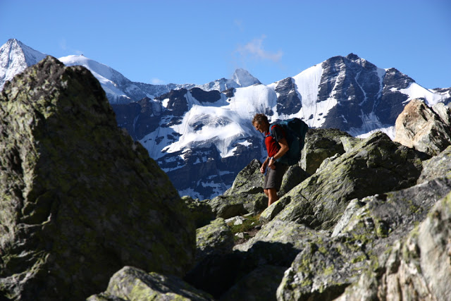
Rugged beauty, but nothing too challenging for a man with Parkinson’s Disease.

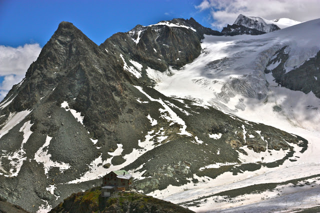
And there on a rock was the Cabane des Dix.

The beauty thus struck me as a lonely beauty, even though my husband was there with me. On other trails, the beauty remembered as the years go by is one that sits within the context of the camaraderie of the other friends we made doing our route. In addition, we have never found Swiss huts to be as friendly as their French or Italian counterparts, where ad hoc rough and tumble are more the order of the day. We didn’t enjoy the strict regimentation that came with the world of Swiss mountaineering, being told exactly which bed to sleep in, which table to eat at, and being rationed out one pat of butter, one tiny packet of jam and two slices of stale bread to furnish us for a hefty day’s hiking. The bread is always stale in mountain huts, but at least in most places it is plentiful
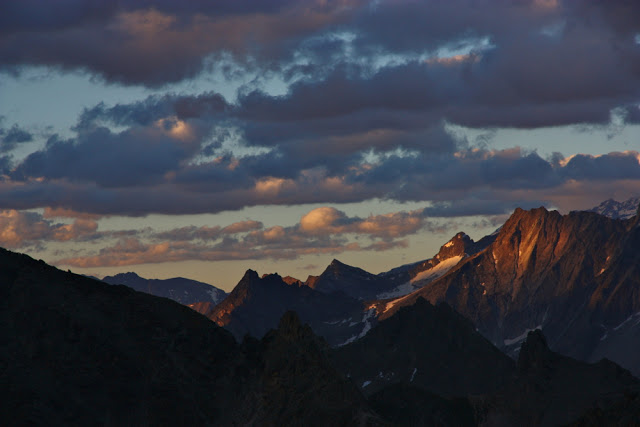
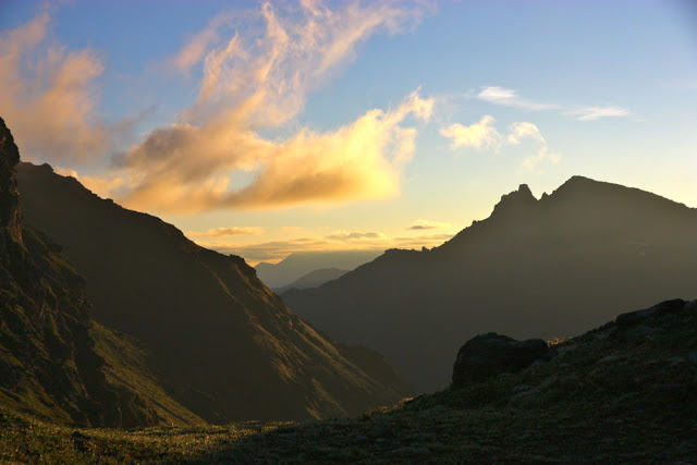
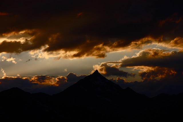
Sunset that night was a treat.


At breakfast, Fabrice ran into trouble with the gardien. He didn’t want one sachet of instant coffee for breakfast; neither did he want one tea bag. He requested hot chocolate instead (like I had somehow received, also refusing the other two items). He was told chocolate is only for children (me?) and that he had to imbibe an adult’s drink. He was not amused. We chewed our stale bread in discontent.
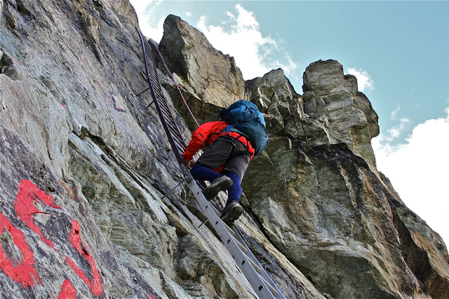
After the Cabane des Dix, you have a choice of two passes, both of which contain elements of risk and danger. One has loose stones with a big drop off. The other has monstrous ladders reaching into the sky. I wanted to take the latter, but had decided to take my husband down to the valley first, as neither pass was suitable for him. British climbers overheard this, and came up to me and offered to rope Bruce up, if I could get him over the glacier and the ice bridge with mini-chasm below it first. We set out ahead of them to enable this, and there was Fabrice, who also wanted to come with us. We appreciated his company as much as he did ours. This is a pass that is better negotiated in company than solo!! We were there waiting for the Brits (I think that surprised them), who roped Bruce up. He bounced up the ladders like an adept monkey: all he needed was the confidence to know that if he fell, he wouldn’t die, and, knowing that, of course he didn’t fall.
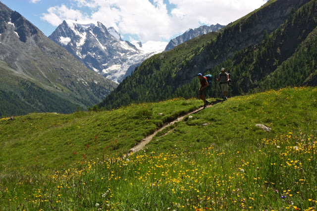
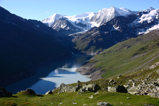
Approaching lac bleu with Fabrice
Fabrice wanted to visit lac bleu, reputedly very beautiful. I had been unsure, as it is on a chemin difficile. However, we were enjoying his company, so put lac bleu on the list, and brought our accommodation forward a bit so as to spend the time in his company (we never make bookings). Our paths would diverge next day, when we went back up to high ground, and Fabrice stayed low. It was sad parting. We’d had fun. I can still hear him at times telling me not to tread on the beautiful flowers in the field (when there was nowhere else to tread). I love a man who cares that much about flowers.
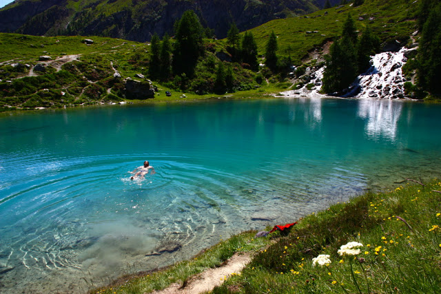
Bruce swimming in the freezing lake.
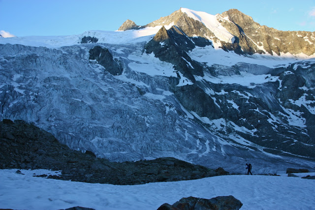
The next day we climbed back up into the snowy stuff again. The hut we had chosen was higher than on the official route, but we wanted to be there as the views were said to be good. It was truly amazing. Below is Bruce in the early stage of the climb.
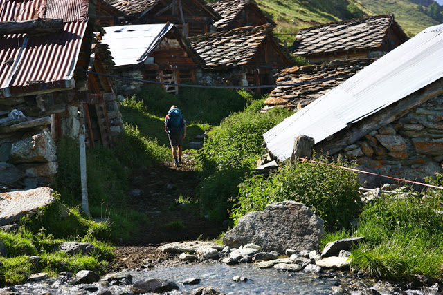
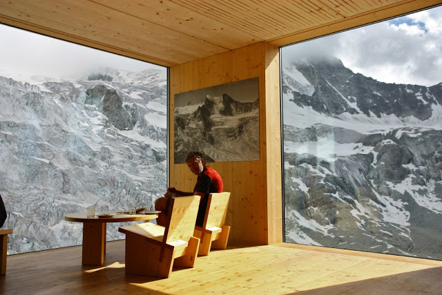
And below again, he is sitting looking out at the most amazing view I have ever seen from a hut. This hut sold nice cakes, and we had a tasty dinner, even if we were told exactly where we had to sit and with whom we were permitted to talk.

Cabane de Moiry 

Sunset was pretty spiffy

Early next morning, I was up, as usual, to photograph whatever there was to see. Lots of climbers were setting off already.
Leaving this hut next morning, I had one of my less happy experiences of the trip. We had to cross a  band of ice about 20 cms wide, with a big drop into frozen realms below. I got Bruce to wear our one pair of crampons, so I was in shoes with little grip, and carrying his pack which is way too big and which threw me off balance a little as my back is very small, so it came down and bashed my legs. I didn’t have it done up in case I fell into the lake below and needed to rid myself of it, so it swayed around and the ice was slippery. I was shaking when I’d finished this bit.
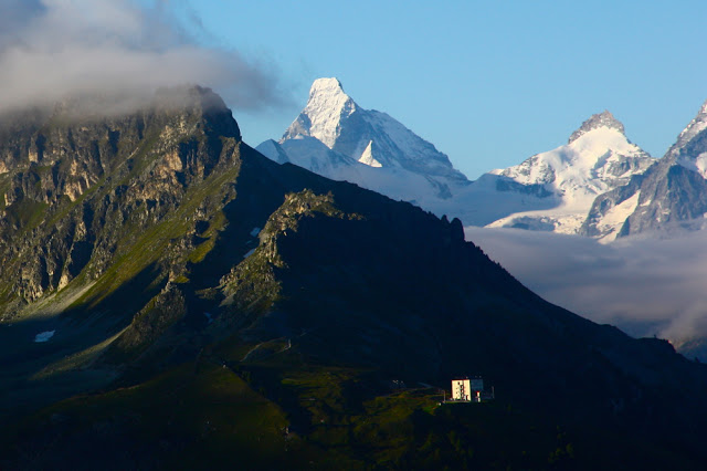
View from the cabane Bella Tola, two nights later
Down we went to a dam where the lady didn’t want to serve us. There we met our second friend on this trail, who was also denied service. I can’t remember why. Perhaps we were not there in regulation hours. Somewhat hungry, the three of us set out up the steep pass, each at our own speed. I like to treat a mountain pass as a decent workout. It can be cold waiting in the wind at the top, but I just can’t resist a nice fast climb. When Bruce joined me, our new friend was a speck in the distance, and I was frozen, so we didn’t wait, and plummeted down to the valley (Zinal) where we were staying the night. I think that’s another reason why this route doesn’t thrill me as much as many others. Too many nights were spent in hotels (very nice ones) in valleys rather than in huts high in the mountains, which is where I want to be. Mostly, we were high in the middle of the day, and down low for the part of the day that matters. I’d prefer it in reverse, but it wasn’t possible, as the huts weren’t there.
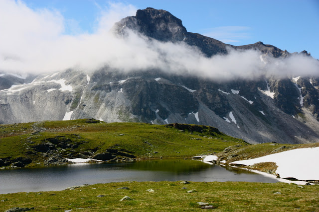
Climbing toward Meidpass
The towns at the bottom are quite small by town standard, but big enough to lose friends in. We didn’t see the friend we’d made until the next day, after he’d finished and was hiking without his pack just to finish things off. It seemed a rare thing to be doing the whole route.
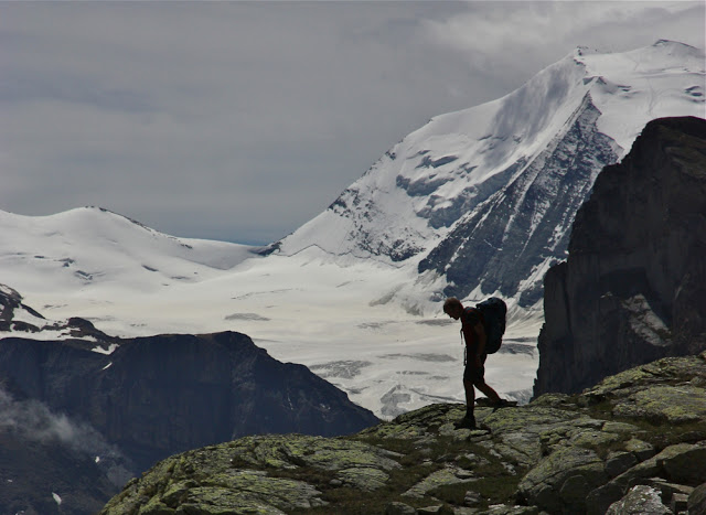
Bruce near the Weisshorn on our descent to Gruben for another valley sleep. The weather was changing. I didn’t take any photos at all in the final stages of the trip, as clouds closed in, and there was no point taking photos of Zermatt in anything other than ideal conditions. I used to live and train there each year during racing season. I have myriad photos of the town dressed for the ball.

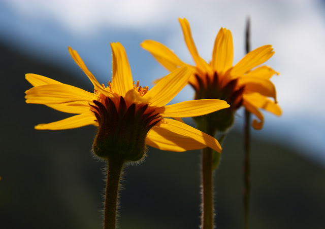
Senecio doronicum

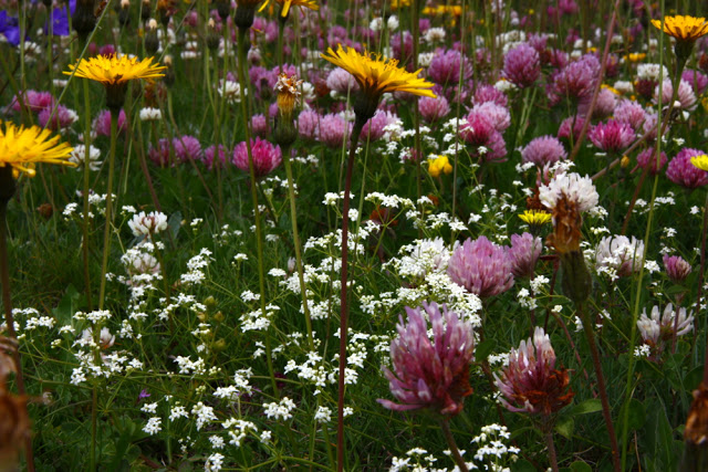
Flowers in the fields near Cabane Bella Tola. The flowers between Zinal and Zermatt were numerous and glorious.  By then, the route had dropped out of the rock and snow and was primarily in the high pastures.
It was fun for me to walk part of the Sierre-Zinal race that I used to compete in – run in a daze reading my body and the bodies of my competitors, concentrating hard, monitoring breathing and energy. Now I could just relax and sniff the flowers and enjoy things at a more leisurely pace.
Alas, Zermatt and Taeschtal were anticlimaxes for me, as I knew them so well, and they were drab in that grey outfit they chose for our arrival. No matter. The point for us hadn’t been the arrival at the end, it had been the journey, and we had seen many wonderful mountain sights.

Western Bluff 2015 May

Western Bluff: or, the mystery of the runaway summit. May 2015

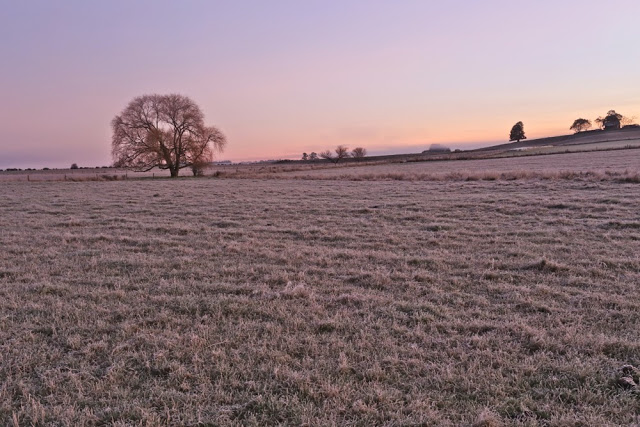
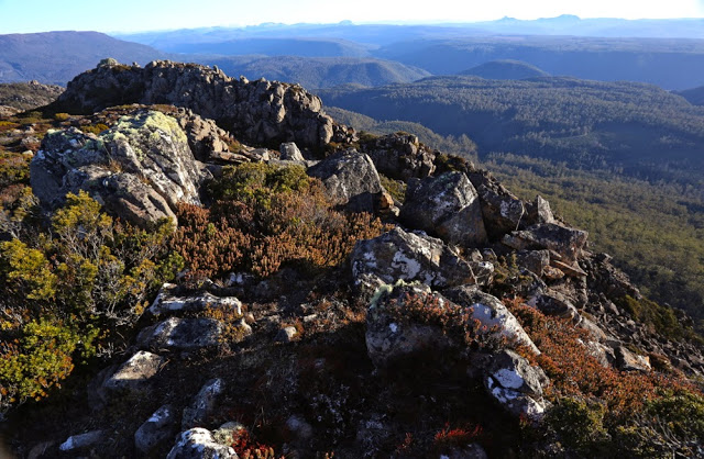
The beauty of the dawn that held us up

Never has a summit seemed quite so elusive, quite so just-within-reach and yet forever-over-the-next-rise as this one. Mind you, when I saw that we had taken an hour to crest the first rise, and that the car was still in sight, I knew we were in for trouble. Hopefully the next part, now that we were on the tops, would be faster, would be lovely alpine walking. Yes? It was described in the Bushwalk Australia forum as “very easy and very enjoyable” by one, “delightfully open and easy” by another. I was expecting a joyous ramble, like at the back of Coalmine Crag. Would we need to take lunch? If we set out at 8 we’d be at the summit by about 10, and back at the car by 12. Oh well, salad rolls from ETC are delicious; let’s take one anyway and have a silly, super-early lunch on the summit, followed by a second lunch at Mole Creek, and a photographic shoot at a few waterfalls on the way home – maybe the one behind Marakoopa Caves and Liffey Falls. A great day was planned.

Beautiful conditions on top

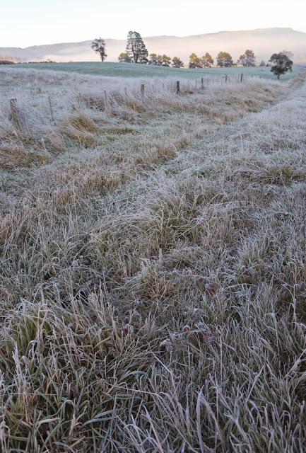
Well, the first problem was the beauty of the frost as we drove to our destination. It was magical and required a great deal of stopping, which meant that the 8am start became a 9.30 one. No problem, this was just a cute easy-catch pleasure jaunt. It was such a pity we couldn’t use the route I wanted – the nice steep one from Urks track, but the forum said that if you love your car at all you will not use this track and will go by the route we were now undertaking. It neglected to say that the way up the ridge to the first nobble was fortified by an excellently equipped army of thick scrub and rocks that were not so very easy for a man with Parkinson’s disease to climb. No matter. I found a Parkinson’s-friendly route and here we were at the top, ready to race our way to the summit. Ha.

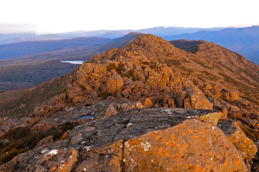
There’s our goal; just there. Here’s where we stopped for an 11.30 lunch after 2 hours’ moving.


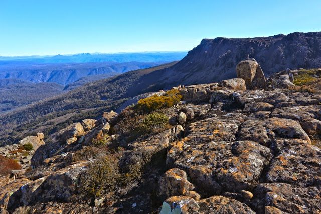
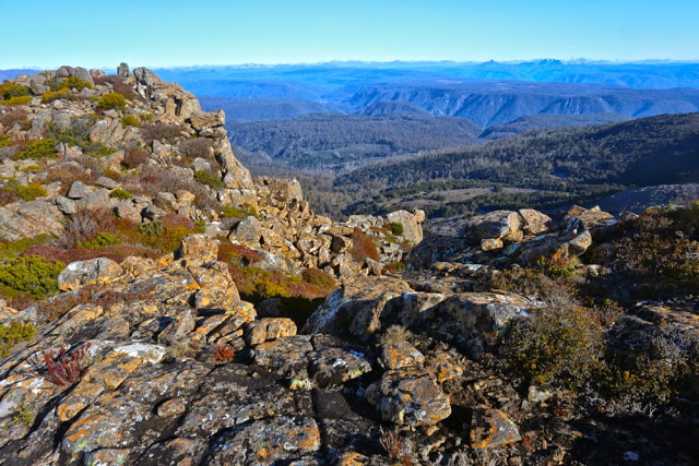
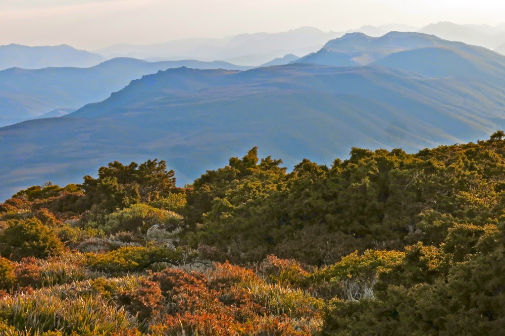
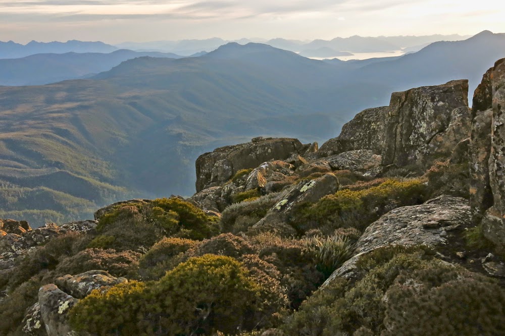
Looking in the other direction from our lunch spot. That’s Ossa and Pelion East you can see sticking up there. Pelion West was also visible (as were Cradle and Barn Bluff further north).

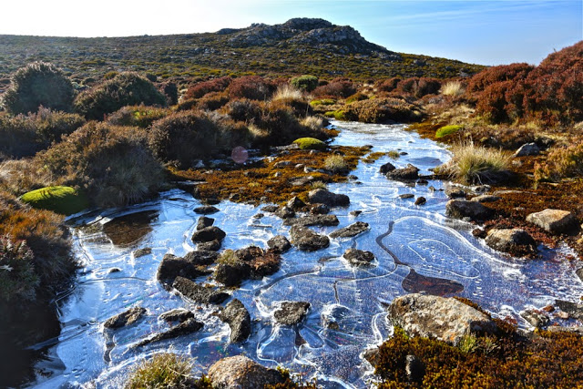
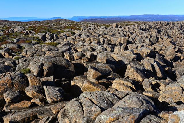
The tops were not pleasant alpine walking, but contained lots of thigh-high scoparia that we had to weave around. This would have been fine had we been expecting it, but I had not gained the impression that this was the case. There was no water up there – well, there was plenty, but it was all in the form of pure (and very attractive) ice. No problem. We were carrying some, and could break some ice if necessary later. (It was. The tarns never melted). On we went, over rock screes covered in sparkling rime and through endless patches of scoparia (and other bushes). I was hungry. I looked at my watch. 11.30.
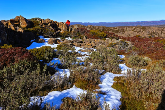
Patchy snow on top as well as wonderful ice

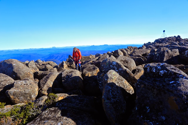
Surely that was an excuse for lunch number one, even though the map said we’d gone a distressingly short distance. I couldn’t imagine getting my husband to the summit at this rate. Maybe he’d be happy to sit there while I summited? We ate. No, he said, he wanted to summit too. I looked across to where our goal lay. Absurdly I said it could take at least a half hour in each direction yet. He said he was up for that. It took 50 in each from there. Every time I sighed with relief that we were closing in, that wretched trig ran away again, tormenting us cruelly. It was only 1pm, but I was already panicking about the time. I just couldn’t install in my husband the need to hasten, that we would turn into frozen pumpkins if we dallied at all; that this mountain with its frozen pools and ice rime would be treacherous by 4.45 and I wanted him in the car by then.
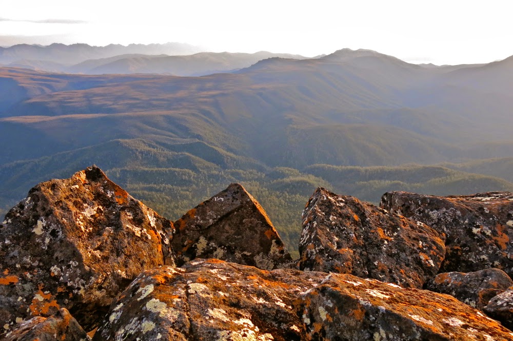
Looking east from the summit – not altogether inspiring, but nice enough

I hoped in vain that our return journey would be quicker, that we would chose a slightly faster route or that confidence would produce a better return time, but alas, our return splits were matching our outgoing ones exactly, but my husband needed more breaks added in to the walking time. I was now totally nauseous with anxiety as the watch kept ticking but very little progress was made. The sun got lower … and lower, and more and more golden in its hue – very beautiful under normal conditions, but not when you have a man with Parkinson’s on a frozen mountain.  I knew by now that darkness was going to arrive before our return to the car. The question was merely: to what extent? How dangerous would this mountain with all its rocks be once the sun got any lower. Already the rocks were whitening up, the bushes gaining a very pretty dusting of icing sugar. I decided that even though speed was essential, I needed to rest B and feed him. It would not be safe to stop once the temperature was any more below zero than it already was. We ate and continued.

Bruce sets out on the epic journey back to the car

Just as the summit had run away from us, teasing mercilessly, so did the road that announced the end of my woes. The gps kept saying we were nearly there. We kept descending but kept bashing against more thickets of hard work. The forest got very, very dark. B stumbled and fell a bit but managed not to injure himself. He’s too big for me to carry. Helicopters don’t operate in the dark. My nausea increased. I was far more concerned than he was, but at least he kept himself injury free as he blurted through the bush and over slippery rocks in pursuit of his wife. I kept about 10 metres ahead so that if my route was not Parkinson’s-friendly, I could backtrack without wasting his energy (which happened quite a few times).

On of the last photos I took – from the cliff edge looking west towards the mountains of the Overland Trail. Our car goal is out of sight to the left of the picture, but the nobble that preceded it was visible to us; the goal of our completed quest was also visible to us to our right, but out of this picture. At this stage we were still on target to make it in the light … just.

Never have I been so relieved to see a road in my life. Yes, we would live through this adventure. He was out with safety. The beads of ice on the road glistened in the moonlight. “Oh glorious sight, big red car”, says naturelover. We didn’t stop at any waterfalls on the way home.

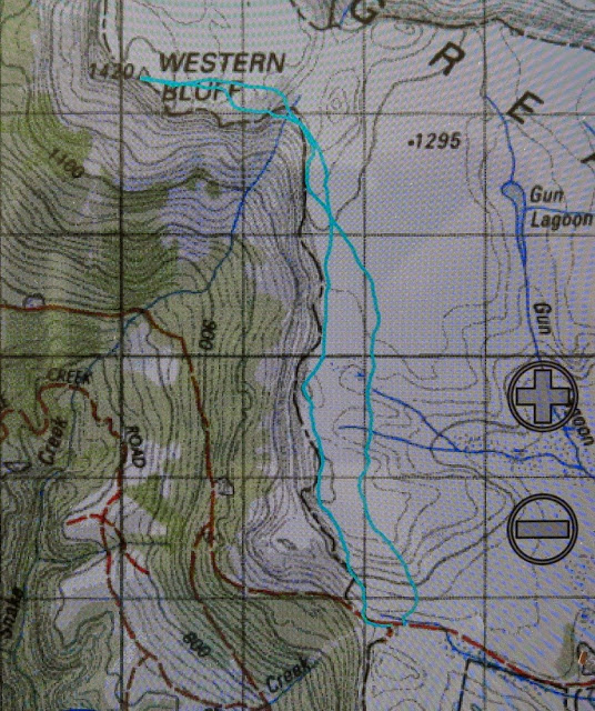
Our route. We approached using the more easterly one, and returned via a view from the cliffs

Weld 2015 May

Mt Weld 2015, May

Angela crosses the creek that marks an end to the cutting grass section of the walk to Mt Weld.
Our chosen mountain for this weekend was Mt Weld. Like a well-trained bicycle pursuit team we purposefully made our way forward.
“Hm. It’s getting vague here … not sure that we’re on track,” the leader of the moment would say. Three pairs of eyes scanned; one left, one right, one middle. Within seconds one of us would spot signs of wear or, better, some tape, and that one would take over the lead until the next moment of uncertainty.

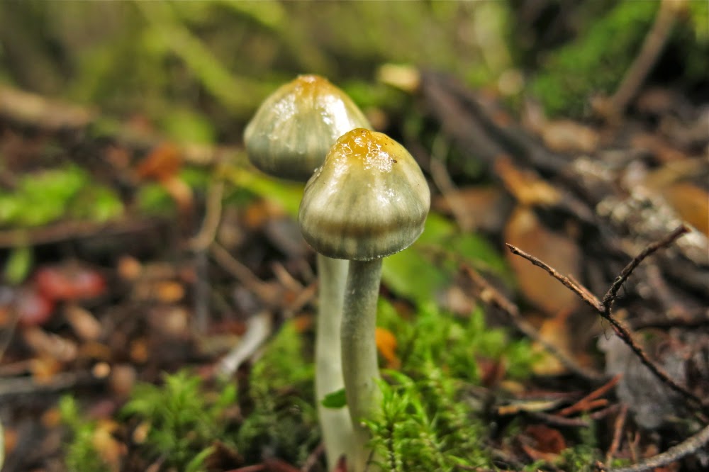
Young Cortinarius levendulensis responding to autumn and the moisture in the air

Efficient, resolute – certainly “no nonsense” – are words that can describe our attitude to Weld. Having been fouled out by mist, thick bush and time last weekend on Hobhouse, we were very, very determined about the summit this week. Defeat was not on our agenda. Meanwhile, we were having a ball.

The forest shortly after the creek

Thanks to reports by others, our expectations of the cutting grass were very bad indeed, and we were accordingly armed in full battle gear – and so we were delighted by how much nicer it was than our grim imaginings. The grass was a lovely colour, the passage was very clear indeed and, well, cutting grass cuts. We treated it with respect and it left us alone. The totem pole (start of the track) to the “big creek” section took us 1 hr 54: slower than the 1 hr 45 of one report, faster than the often said 2 hrs. We were on track for the summit and happy. We grabbed a quick drink at the creek and I surreptitiously threw down a few handfuls of snack (my two super-human friends never seemed to need food). Now it was time to climb.

An ancient cairn, now covered in moss. Green on green is not exactly effective. Pink tapes suited us better.

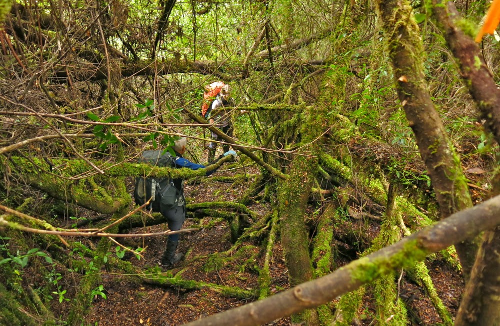
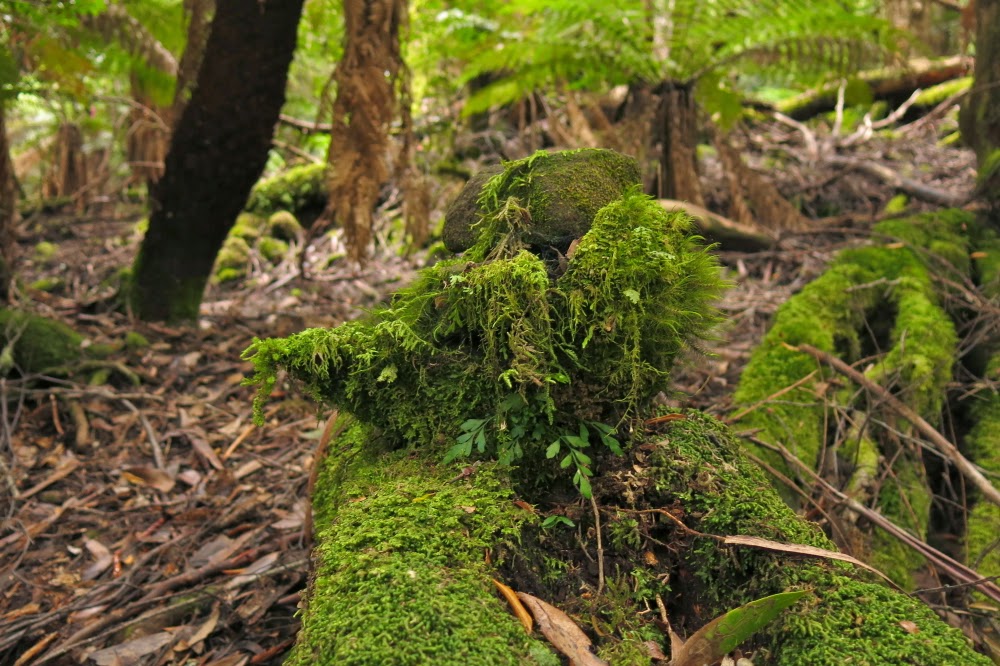
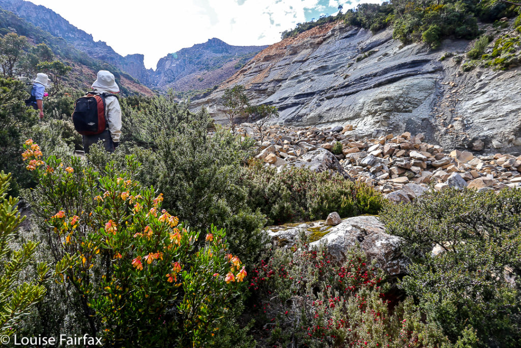
Again, expectations of this section were not sanguine. We expected massive sliding backwards, energy-sapping climbing under and over logs that were too long, wide and low to get around, over or under, a pad characterised by vagueness, and lots of time wastage. What we found was magnificent forest that thrilled by its lush mossiness, its abundance of colourful fungi, its openness, and the easy passage it offered. Only very infrequently did we waste thirty seconds or so searching for the pad. Yes, down lower there was some climbing over and under logs, but not nearly as much as we feared and well, yes, we were climbing a mountain. Mountains go up. Steepness is expected and thus ignored. Besides, we love climbing. My only regret or “complaint” during the 1 hr 36 mins we spent in this rainforest was that I had neglected to bring my macro lens. I was entranced left and right by colourful delicacy but furnished with no means to do it justice. However, this trip was not about photography: it was about the summit. We had no time to waste. Lunch was thrown down in this section.

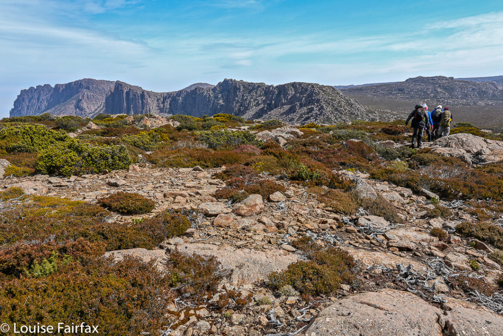
The view from the saddle between summits A and B of Weld (looking east)
Same, but looking SW.
The next phase of vegetation, from the first noticeable bauera bush to where we emerged in open alpine grass, took us exactly an hour. The bauera and scoparia had been, well, bauera and scoparia – you don’t mess with them – but the pad was clear enough, and at last my fungi-distraction had come to an end. As we emerged onto the welcome and welcoming pineapple grass, we had our third break of the trip: five minutes, while I turned on my gps. We were happy with progress to here.
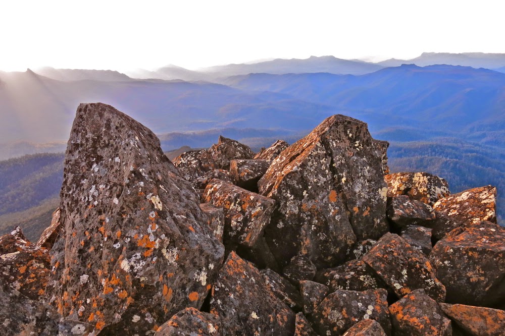
Summit rock

The gps indicated we had about a kilometre to go to the intended tarn of our campsite for the night. The grass was short. We could see the spot up and around the corner of the ridge ahead where the tarn must lie. I expected it would take 20-30 minutes. It took us 46, as we enthusiastically climbed too quickly too soon and got ambushed in scrub. For once, the creek was faster than the ridge. No matter. We were pitching tents by 3pm. The summit was in our sights. People said an hour to the top from here. We couldn’t imagine anything going wrong at this stage, but neither were we willing to relax our guard. We spent about half an hour pitching tents and organising daypacks for the top (the latter, mostly me: I took my little pantry to the top – a bag of treats and goodies that the others, not quite so food dependent, didn’t think necessary for themselves) and off we set, full of excitement and anticipation. This was, at last, the end game.

I found it very exciting to see Lake Pedder and Mt Solitary. I hadn’t realised we’d be so close.
As instructed by Abels Vol 2, we headed north from the tarn (actually, a bit west thereof) to a little shelf where camping would have been nice (better view, but no tarn) and then up through a mixture of scrub and rocks, aiming for the saddle between summits north and south. The real one (north) was reached in under an hour. We were elated: first, because we had reached our goal, but mostly by the amazing view spread out before us. It helped our euphoria that we could also, at last, relax. Our work was done. Now we could play and stare and reap the rewards of our labour, losing the self in the sublime infinitude that surrounded us. The pressure of time was gone. The lighting was perfect. Life was wonderful. We enjoyed our summit and only left when the mood finally took us. We had head torches; we knew our way back to the tents. There was no more need for haste.
Looking south along the very long ridgeline of Weld
Eventually, we dawdled back in the gloaming, delighting in the rising moon and emerging stars, yet with still enough light to see all the way. I was unwilling to finish off this perfect day.
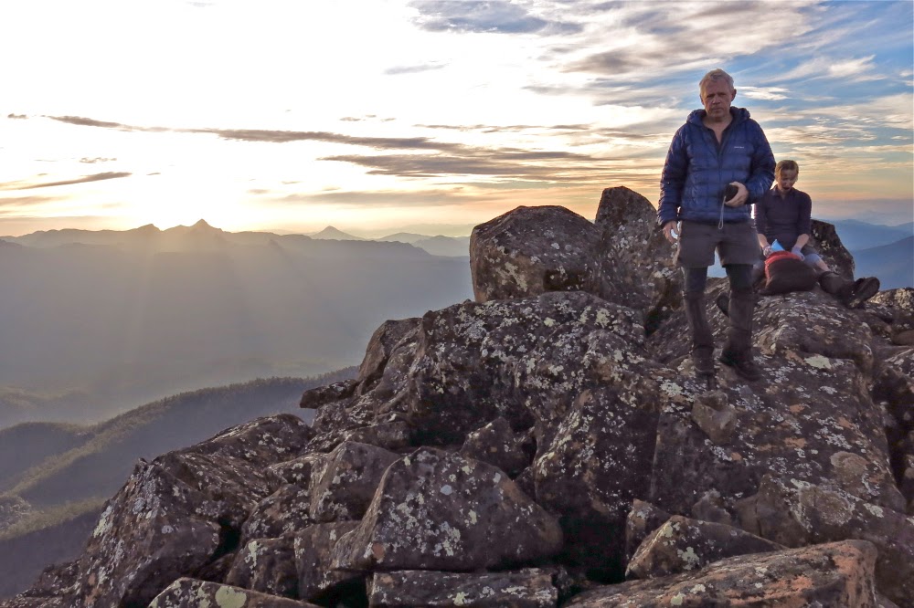
Mark and Angela relaxing on the summit
As near to the setting sun as I could get without lens flare.

The temperature was not below freezing. We cooked outside together enjoying the stars, the tarn and the moonlight while we ate and chatted, ultimately only being driven inside when we became aware that our core temperatures had dropped to shiver point.

Sunrise
 

On the way out next day, we cut all our splits from the way in, due more to confidence and familiarity than the fact that we were descending. To our delight, we were back at the car by 2 pm, having taken 4 hrs 45 from tent to totem pole. The road walk to the car added another 14 mins. We all loved Weld and agreed we’d return with very little provocation. Rain started falling as we arrived at the car. It pelted down while we drove away. We felt smug and warm inside.

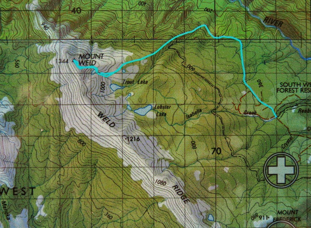
Our route. I’m amazed to see how little difference there is between the higher route to the tent site tarn and the much faster, lower one that stuck more to the actual creek – 10 mins difference!

Coal Falls 2015 Apr

Coal Falls 1 April 2015


Heading along the tops before dropping down to the falls
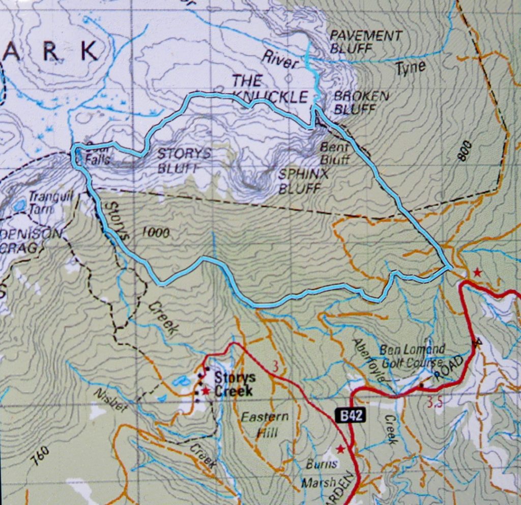
This was, it seems, not a good time to visit these falls, in that the flow was most unexciting – so much so that I didn’t even bother to take a photo of the falls. Downstream was a lot prettier, and the walk there was fun. I am publishing here in case others would like to see the route we took to the falls. We went up the track to Broken Bluff, along the tops off track past Storys Bluff, and then down, also offtrack, past the falls, along the creek and back. We picked up bits of an old track at some point on the way down. It’s not a walk for those who need a track the whole way.


Looking back at them from below

Downstream – much nicer

Kate 2015 Mar

Mt Kate Mar 2015

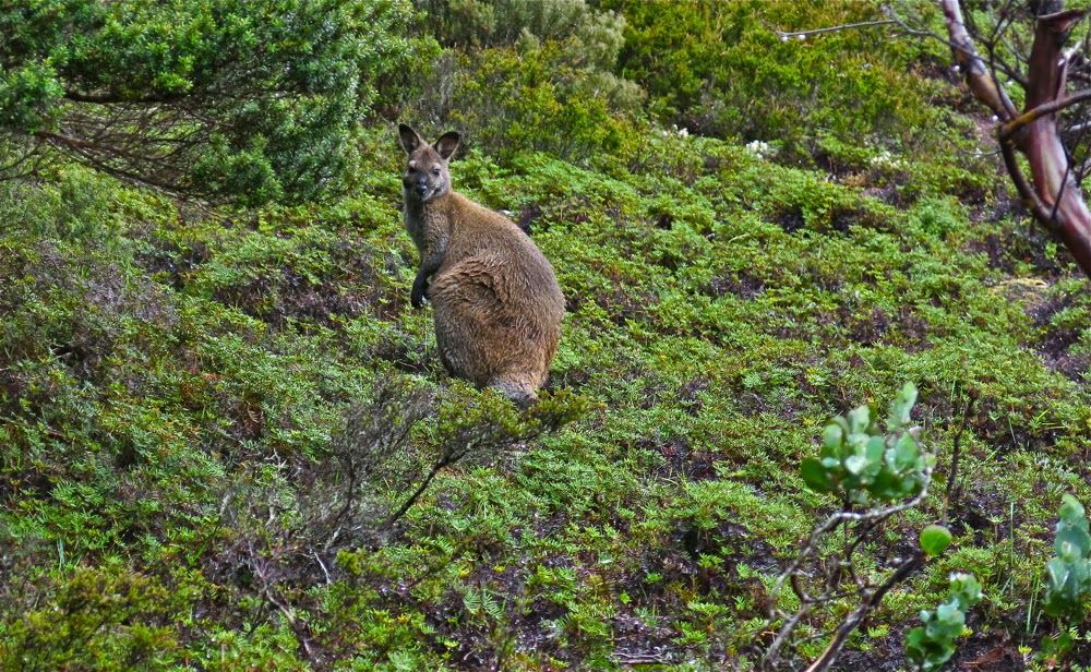
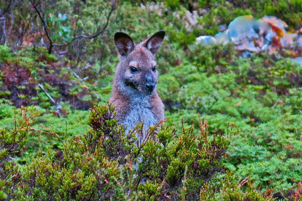
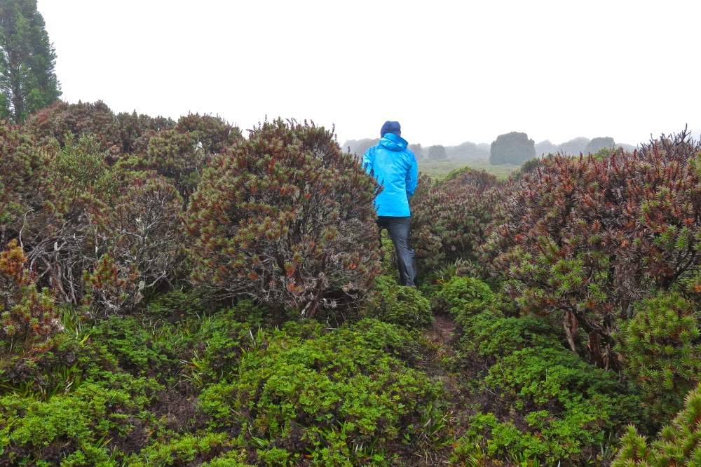
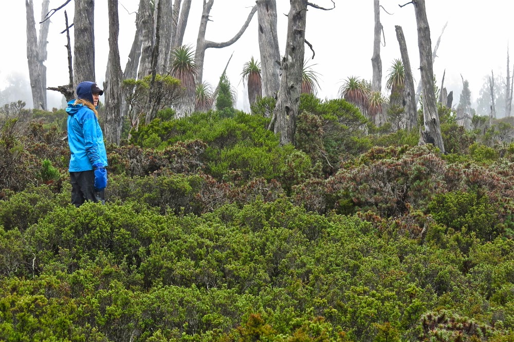
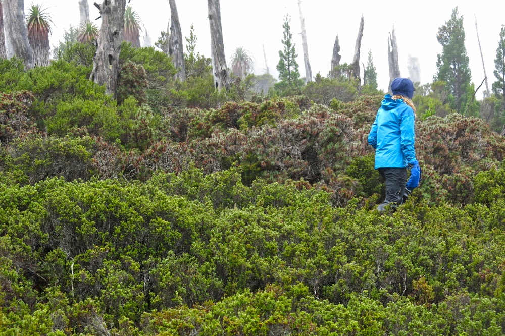
The current Abels Vol 1 book claims that Mt Kate is “uninspiring”, but I’m afraid I find that an insult. For sure, Mt Kate is no Matterhorn or Cradle Mountain with distinctive shape; she is no Lightning Ridge or Striding Edge with high drama; no north face of the Eiger offering to kill you if you slip, but if you don’t need your life filled with histrionics, then Mt Kate’s quiet beauty has enormous appeal at a different, subtler level. Possibly it helped that we climbed her in the mist and drizzle, but my daughter and I delighted in the variety of greens, the contrasting red seedpods of the Bellendena montana (mountain rocket), the shy Bennets wallabies having a peep at us from the security of a Bauera bush behind which they could retreat if needed, and the plethora of pencil pines in the area, the highlight of which was a grove in the saddle before the final collection of contours leading to the summit.

This is what the early part of the track looks like

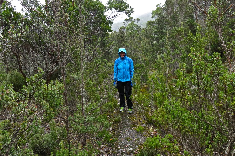
We were rather thrilled to be climbing Kate in misty moisty gloom. The lack of visibility added to our sense of adventure. It’s fun climbing mountains with either of my daughters. Today Auntie Lena was minding Gussy; Kirsten came with me. We found the directions at the start to be a little ambiguous, and it didn’t help that I was, as usual, in a hurry to be climbing. It seemed counter-intuitive to head east when the summit was north, and to be on contour when we were there for the express purpose of climbing, an activity that we both delight in. I thus made two false moves, each time following wombat pads that headed to where we wanted to go, but which petered out after 50 or so metres. It also does not help that there is a sign that says “Mt Kate” pointing to the incorrect path, whilst the path you need says “Track closed”. Disobey all these instructions provided by the signage and you’ll get there.

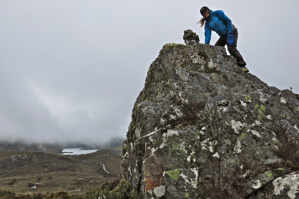
First cairn on the rocky outcrop


This is how it looked traversing north. Mt Kate is somewhere up ahead in the mist

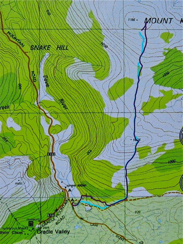
So, cross the river using the car bridge. Cross it again using a footbridge and then, having taken the path that says it’s closed, you’ll cross water again – this time a small tributary. Continue on the boards until stairs appear, leading up to the second of the wooden cabins above. Turn right (east), heading more or less for a small mound. If you’re on a pad and keep your eyes open, you’ll pick up tapes soon after the mound, and then you’re on your way.

In the pine grove

After walking for maybe ten minutes, you’ll find a 30 cm high cairn and, although the old road you’re on continues east, you depart on the ribboned route heading now north and climbing up through lovely myrtle forest until you see a huge cairn on a rocky outcrop above, which announces that you’ve now finished part one of the climb.

The cairns (of which there are three) are rather fun, and even in mist with no visibility, are worth exploring. However, if you’re intent on the summit, then resist the temptation to visit the other two (or, do as I did and go there but then return to the first one). A pink ribbon assures you that the way forward is not via the other cairns, but through the shrubbery, heading north to the broad saddle through wombat-sized paths of lesser resistance.


Once in the saddle, the alpine vegetation becomes ankle high and is delightful to walk on. Wombat scats in abundance suggest this would be a great place to bring children in an evening for wombat spotting. Enjoy it while it lasts, for soon enough the bush returns to thigh high. However, a treat lies ahead, in the form of a magic fairyland grove of pencil pines, one of which had the widest girth I have ever seen: grandpa pencil pine, standing tall and proud, surrounded by lesser minions. Sadly, off to the right skeletal forms reaching for the sky suggest larger, former dimensions to the grove.

 Approaching the summit cairn

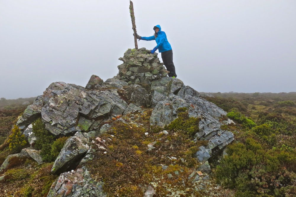
The end of the pines marks the start of the final collection of contours that lead to the summit. The dark shape of Kate was there for us, just visible through the mist, but the summit cairn took us a bit by surprise, coming earlier than we expected, but then, time flies when you’re having fun, and we were both enjoying our little adventure in our own private world, made so by the thick mist.

Returning home after the summit photos, we were aware of the potential for error. Mt Kate is so flat at the top that it would be very, very easy in the mist to be lured into the wrong direction. Don’t venture up here without map and compass, or gps. Tasmanian weather can be dangerously unpredictable. We needed to check direction several times on the way home to make sure we didn’t veer off path. There are so many wombat pads that the path you are on is not necessarily the human one heading home.


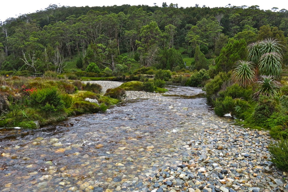
Beautiful Ronny Creek, at the end, looking up one of the ridges that leads to the summit of Kate.

I had worn old waterproofs that I’d ripped to shreds the week before on the Mt Anne Circuit. We both arrived back at our cabin pretty sodden, but very pleased to have made the acquaintance of a new mountain. I’ll be back sometime within the next year to check her out on a day with visibility, but I have the feeling that seeing views will add little to my first impressions of a happy outing on Mt Kate.

The purple track is our outward route, with errors. The cyan track is the correct route, and the way we returned – see notes above. Note, the highest point (and thus the summit cairn) is not the black dot on the map which I suspect is as random as many of the tracks are.