ENGLAND Lake District 2012

England, Lake District 2012.

Whinn Rigg
In 2012, by the end of a two weeks’ stay in the Lake District, we had bagged 87 Wainwrights (Fells). This section of our holiday was preparation for a larger segment that would take place on the continent, where I intended to walk from Lake Geneva down to Chamonix Mont Blanc and then across on the haute route to Zermatt. This was my husband’s crash course in getting fitter and stronger after working too hard and letting his health drop. In total, he took off six weeks. We also did the South West Coast Path and the Cotswold loop. (See URLs for these at end)

My husband has Parkinson’s disease. When the hospital gurus did a check on him at the end of all this holiday, they told him he was much healthier than he would have been after any course of medicines that they could prescribe, and that his general coordination and symptoms had taken a definite turn for the better.
Notice that I am now counting Wainwrights. I have now been bitten by the bug. I want to climb them all. 87 down, 127 to go. It’s fun.

Wastwater, near the Wasdale YHA where we were based for part of this venture.
One of the mot amazing fell runners of all time, Joss Naylor.

I was delighted to meet Joss Naylor, above, on the summit of Middle Fell – we had each run up from different directions. (He is aged 76 here, but ran like a young filly). We chatted and then we began our descent. I thought it quietly amusing that, although I have many top places in my past life in World meets, he didn’t expect me to keep up with him, but did me the courtesy, once he’d  noted that I was keeping pace, of chatting to me while we went.

Shot whilst climbing Yewbarrow, one of my favourites of all.
On top of Scafell Pike, that is, on top of England. This is my third time up this one. Yet to see the view.
Summitting Hartner Fell

Climbing Crinkle Crags – just LOVE that name
Cold Pike in cold weather
Bruce climbing Weatherlam


Swirl How
From the summit of Holm Fell
Brock Crags, looking towards High Street
Angle Tarn Pikes


ENGLAND Lake District 2006

England: Lake District 2006.

In 2006 we were doing research at Oxford Uni. Naturally, amongst the many walking trips we undertook whilst there, we went to the Lake District.  Here are some snippets from that time …

(The photos are a collection from all the peaks we climbed, not just the ones from this story. Sorry I didn’t own a better camera back then).

Story 1: Sca Fell
“You’ve chosen a nice sunny spot,” said a lady as she glided past while we ate our lunch standing in a broad saddle on the intersection of four paths, using a rocky slab as a table and a cairn as a shield.
“Yes,” I called in reply, “but I’m worried about getting sunburnt.”
“Just slop on some more cream,” she yelled as she marched on her way.

The mist swirled around as the wind howled and rain fretted. We ate standing, as it was too wet and cold to sit. I devoured more lettuce wrapped around blobs of apricot and cranberry chutney, with two-day-old bread for ballast.

Nearing the summit of Sca Fell
“Delicious,” I enthused, not to be ironic, nor to be some Polyanna figure: it just seemed the perfect lunch for such a place – sweet for energy, crunch and juice from the lettuce, no fat to make us feel heavy and lethargic – and it tasted excellent, thanks to the high quality chutney. I consumed the last of my jelly babies (Jonathon Swift would have been proud of my measures to reduce English overpopulation and mendicancy) in the rather hasty “meal” and we were off. It was not a day to hang around.
Wasdale.
Climbing the Pillar

We set out into the mist. We could see the path in front for about a metre – enough to stay on the track, mostly; certainly not enough to be sure of anything much. Luckily this was our second summitting of Sca Fell, so I knew roughly which shapes might emerge out of the mist and which way the land might be expected to slope. But we were climbing England’s second highest mountain, so the general idea was “up”, except that often to go up, one needs to go around or down, and climbing steep slippery rocks that go up but into a cliff face is not a great help.

Pillar summit
Scoat Fell

 I seemed to manage to keep us on course, and in moments of doubt, ghostly figures of other climbers on the same route would appear out of the fog on their descent, or we would overtake their shadowy forms as they stumbled over the slippery rocks or laboured up the slope, and we would know we were on track. There was a wonderful camaraderie amongst those on the mountain. I’m sure that only in England can you climb a remote mountain in the foulest possible weather and find a queue on the steepest slopes.

Story 2. Next day ….. Pillar and more

“I think we’d better sit here and take stock,” I said, as we found the first ledge of rock big enough to accommodate us in over half an hour of scaling slippery waterfalls in the mist. We were supposed to have undertaken a difficult but achievable scramble up the Pillar, keeping to the left of Pillar Rock, which dominates the landscape, or so the guide on climbing in this area says. There was no Pillar Rock in the mist – indeed, no Pillar. “The only problems will be encountered if one tries to climb to the right of the rock,” I had read the night before. Fine instructions if you can find this imposing massif.  We didn’t, and so climbed to the right of the rock. As we sat there, I announced it might be a very long sit, as I was way too scared to attempt a descent without a rope, and I couldn’t find a way up. We had about three squares of chocolate left, and our uneaten lunch. Not much to last about 20 hours until a search party tried to rescue us.

Scarth Gap
“Just make yourself comfy.”
“Why can’t we go down?” Bruce asked, surprised by my announcement.

“No way,” was all I bothered saying. Both directly up and down were impossible, and to the left was a steep, impassable rock face. The route to the right was similarly blocked. Our only hope was diagonally right, but I needed chocolate before I tried our only chance of escape. Nice, Lindt, orange-almond chocolate. Then one can climb further.

Chocolate to cheer, we set out again; with enough handholds to make some slight progress. Suddenly through the mist I saw a shape that had softer edges than the rest of the rocks – the shape of a sheep up to my right, not far away. I knew that if I could reach her, then we would have reached safety. Anywhere a sheep can go, I can go. She must have come around an easy back route that adjoins where she now was. Hooray.
We reached her and celebrated beside what we thought was the summit cairn, consuming our lunch now that we didn’t need it for dinner and breakfast and snacks during the night waiting for the rescue team. The mist was so thick we couldn’t see any other cairns, so after the refill, I set out in search of a way down – also precarious, as visibility was only about two metres. My search revealed that we had eaten about three metres away from the real summit cairn – invisible from our picnic spot. By making sure I stayed within earshot of Bruce, I circled until I found the next cairn in a progression, so we eventually found a route – we didn’t care which one. Any safe route down was welcome. The one I happened on also turned out to be the one I wanted, one that enabled us to also climb Great Scoat, Little Scoat, the Steeple and Haycock before descending, yielding yet more photos of blobs in the mist to add to my already considerable collection. The others at our YHA accommodation in the valley that night giggled with delight at the photos, so it seems they were a success.

SWITZERLAND 1976 Bernese Oberland+ Zermatt

For this blog, I have selected photos from a time very long ago, when we were just beginning a life together of climbing mountains. We walked a huge circle in the Bernese Oberland that began and ended in Interlaken, and took us through, inter alia, Lauterbrunnen, Mürren, Wengen, kleine and grosse Scheidegg, Grindelwald, Gimmelwald and First.

There are also shots of the Zermatt area, a special place for me.
I am rereading my blogs now (2018) to place them in categories so I can put in a navigation bar. This is the first blog that has made me weep – to read of the start of a whole shared lifetime of climbing mountains that has now ended with Bruce’s death. I find it so hard to comprehend that it has finished.

Bernese Oberland
Bruce: Bernese Oberland


Bernese Oberland area

Climbing the Schilthorn

On the way up the Schilthorn
Bruce nearly on the summit of the Schilthorn, having climbed up from the valley in the snow.

Jungfrau


Eiger


Grindelwald area
A little climb before breakfast, near Grindelwald
Alpenglühe Bernese Oberland

Grindelwald


Grindelwald

Climbing up to the Hörnlihütte on the Matterhorn
From the Hörnlihütte on the Matterhorn. From the toilet, actually. Best toilet view in the world.

Hörnlihütte (more from the best toilet view in the world)

From the Hörnlihütte, on the descent
These photos have been scanned from slides, taken with an old SLR film camera. Stallards camera house in Launceston told me the slides were the equivalent of modern 22 megapixel shots (their clarity on a screen is superb; the texture almost bites you), and then charged me $100 to produce a series of 350 KB images. I’m afraid I haven’t forgiven them. But I still love the images for the Switzerland they reveal, and the memories they invoke.

SWITZERLAND 2014 Tour de Monte Rosa

SWITZERLAND Tour de Monte Rosa. I have the full report of this terrific route written up under the Italian heading, as most of the time was spent in Italy. The first and last days were, however, spent in Switzerland, and most people start there, so I am just posting a few photos here in case this is where you go searching, The main blog is under the link:
http://www.natureloverswalks.com/tour-de-monte-rosa/


This is our glorious path. If you look carefully, you can see the hut tucked in under the Breithorn. That is where we ate lunch. We still had a way to go yet before our evening’s lodgings in the Theodul Pass.


I have always loved the Breithorn. Passing underneath it was wonderful.


Arriving in  fog so thick we couldn’t see our feet for half the time. We didn’t see the hut until we were on top of it.


The view out the window during dessert time. We all ignored our food and rushed outside.


Yes, that’s the Matterhorn, close enough to kiss. How I love her. And she’s mine. Not half proprietorial, am I.

Day 7, leaving Italy: a day of great sadness. The pass just behind me is the border. From then all it’s all downhill, literally and metaphorically. This remains a very sad day of my life, as I now know it marks the end of an era for Bruce. Bit by bit life’s pleasures became lost to him, and he had to keep scaling down what he could do. I am so, so glad he got to do this and that we shared this extreme beauty together before it was too late.

Charles + Bee Hive 2014 Jun

Mt Charles and the Bee Hive 21 June 2014.

Given that my husband and I have made a snap decision to go to Europe next weekend, I feared that going off collecting mountains here in Tassie today sniffed suspiciously of irresponsibility and self-indulgence. I should be home mowing the lawn, tending the garden and getting ready to go away. But I really needed to get out and walk up mountains, sit on top and hear the sound of friendly voices. I signed up for the Pandani trip, set the alarm for an ungodly hour and once more found myself driving slowly through the thick fog and darkness of the low agricultural lands, wending my way towards our meeting point at the pub at Derwent Bridge near Lake St Clair.

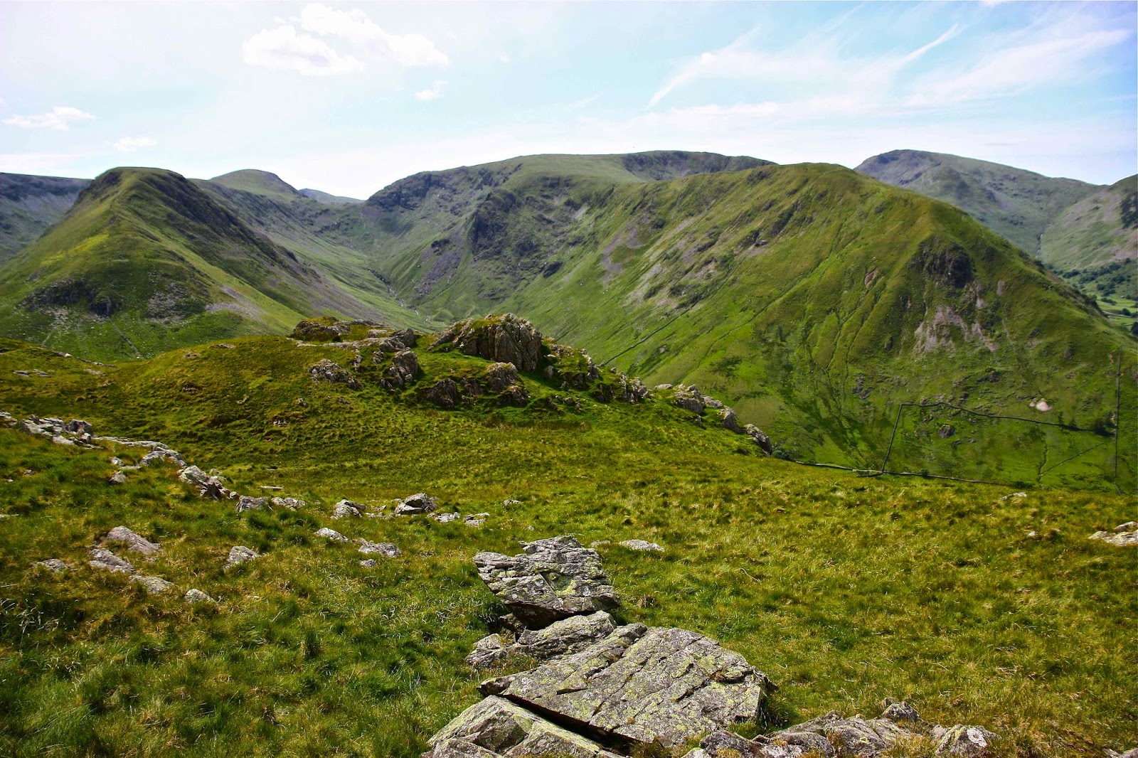
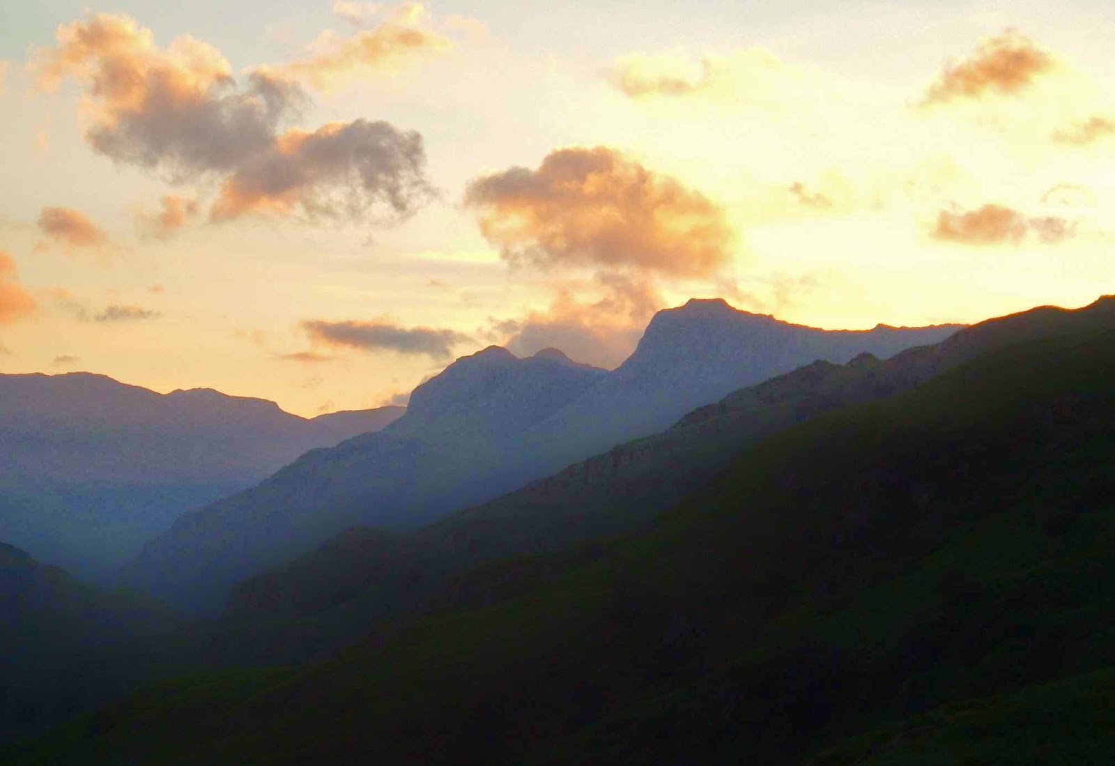
King William I, Mulligan’s Peak, Mt Pitt and more (Slatter’s Peak I think) from Bee Hive.

After Poatina the beginnings of colour in the sky began to emerge and as the road zigzagged to gain height I got to watch the sunrise on the zigs. By the time I was passing the Great Lake on the tops, the sky had the dusky pink alpenglow that I love so much, and the fog was reduced to thin, attractive wisps here and there. It looked as if it was going to be a lovely day. It was great to be out in its wide spaces and to have the prospect of a new mountain fuelling my excitement while I drove.

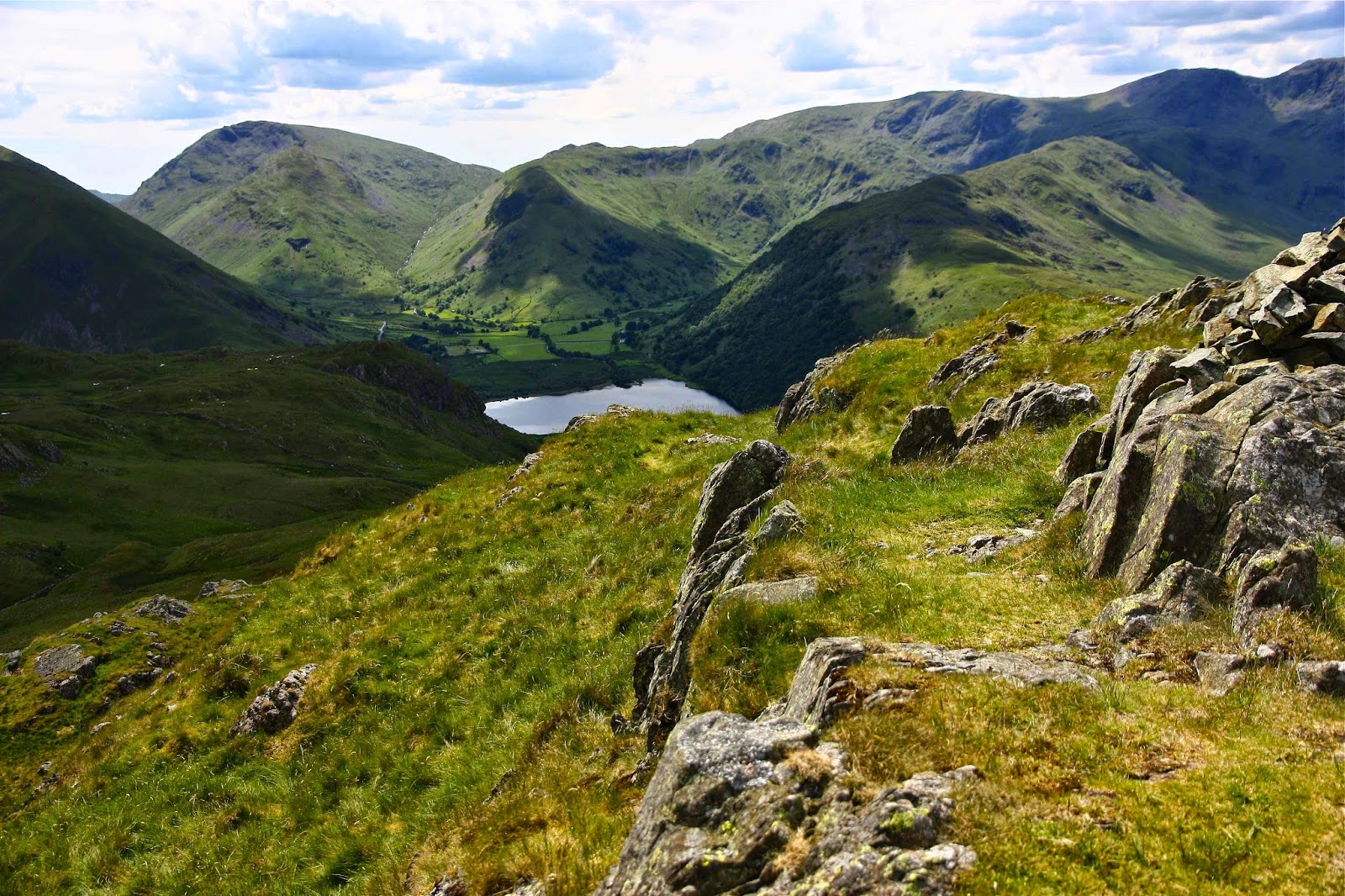
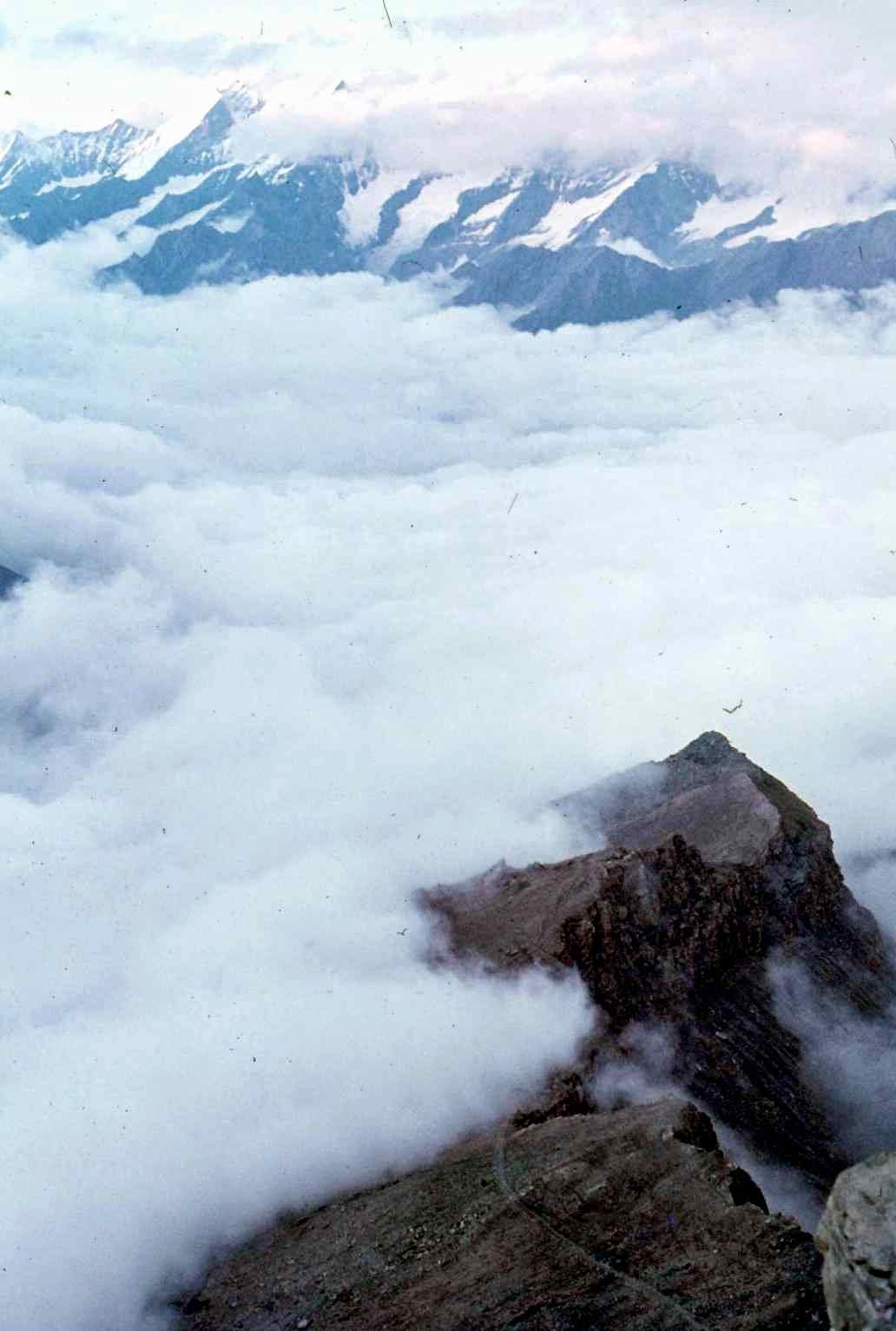
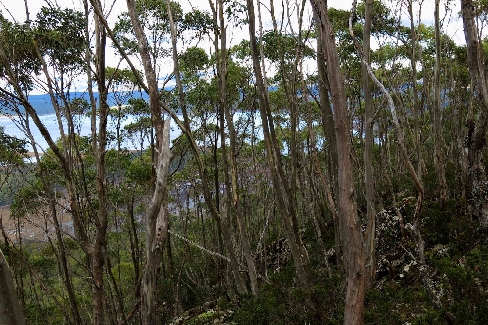
Lake King William, seen behind the striped blinds of skinny, underfed eucalypts on the summit of Mt Charles
It was also just what I needed to enter the pub and see friends again, most of them circled around the fire having coffee or hot chocolate before we set off on the business section of our outing. Hugs all round and we were soon away on our next adventure – a very little one at first, as the club had acquired a key to a magic gate, so we drove to an old flying fox apparatus that my gps says only left us 130 vertical and 550 horizontal metres to climb to the summit. This was pretty quickly dispensed with, even though we lingered for quite a while on the top, gazing at the unique view that Mt Charles offered of Lake King William far below.
We had not done enough, of course, so off we went to the next mountain, the Bee Hive, near two peaks that most of us did together less than a year ago (Calder’s Lookout and Mt Arrowsmith). This one was a much longer enterprise: 16 kms round trip with a scanty 240 ms climb, all done in a rush at the end.
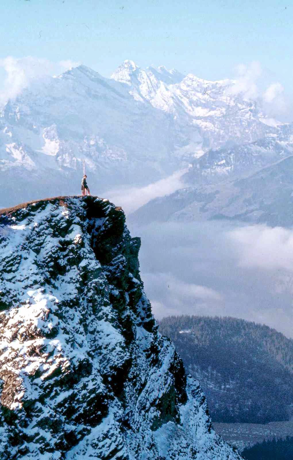
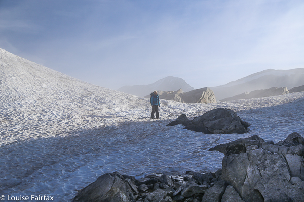
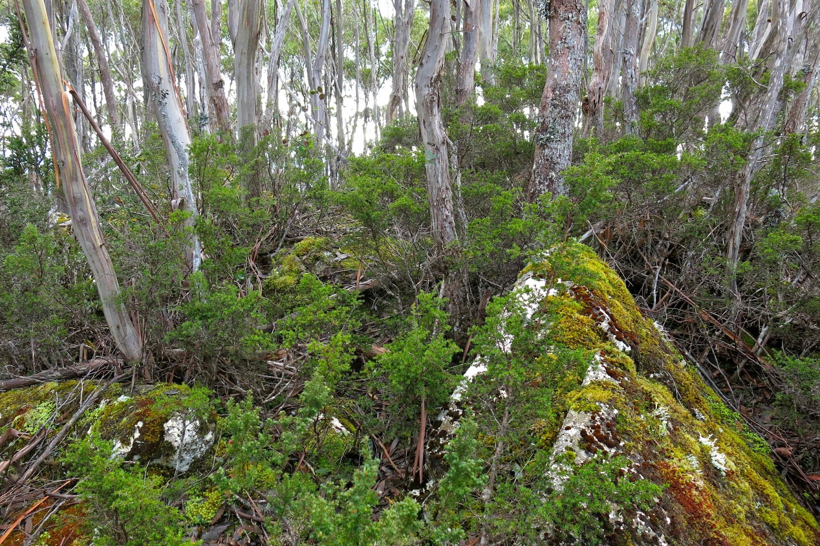
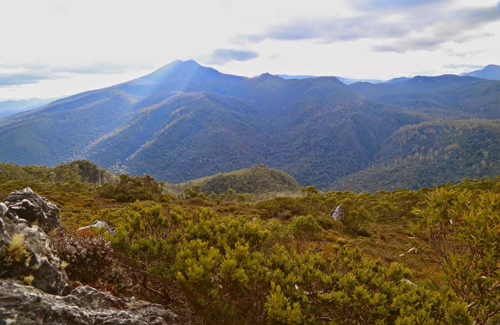
Summit area, Mt Charles
Over 7 kms in each direction were along the Bee Hive canal dirt road (locked), beside the canal. We all proceeded fairly purposefully at a pace we never do in the bush. It made for quite an interesting change, almost marching rather than pushing and goose stepping, weaving and dodging, but chatting furiously the whole way. On the way back, Bec and I saw the most humungous paw print: we assume that of a grandpa wombat. He must have been a mighty specimen to make a print that big! We also saw, at the other extreme of the size spectrum, a tiny little antechinus. The fact that it was dead was sad, but it gave us all a chance to have a really close inspection. It was a darling little thing. Apparently the male of this species manages a record-breaking,  twelve-hour-long copulation, after which he dies of exhaustion. The female bears, raises and weans the resulting litter, and then usually also dies, similarly effete. They’re the smallest marsupials, and look somewhat like a mouse, a little like a miniature hedgehog from the distance.
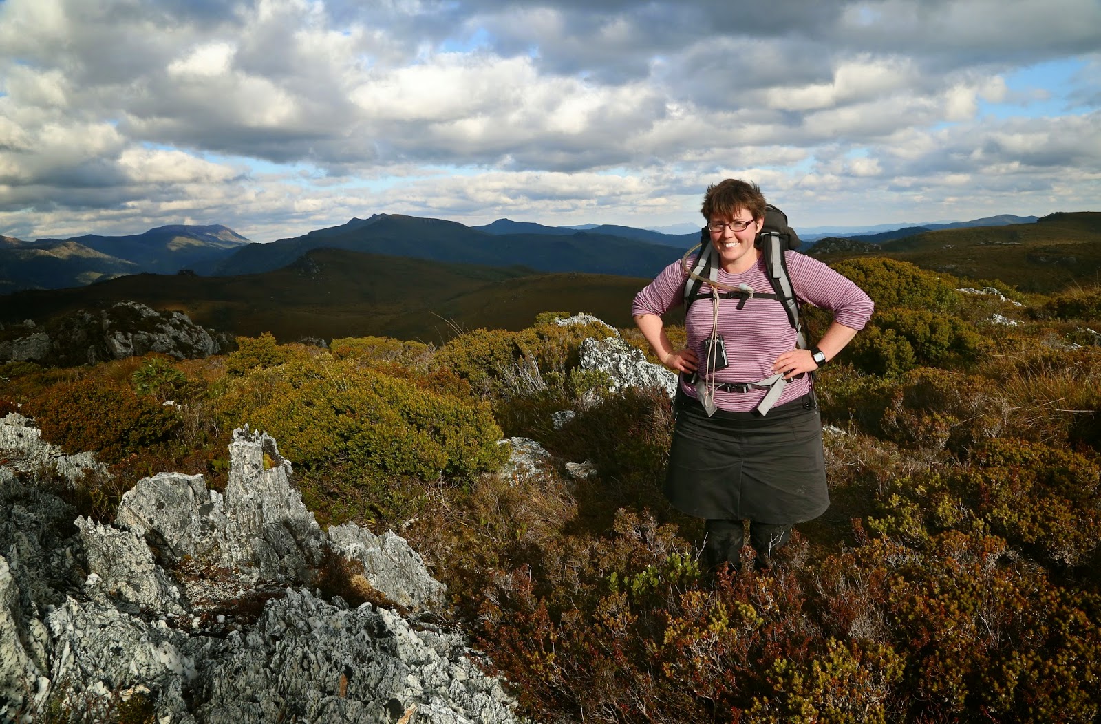
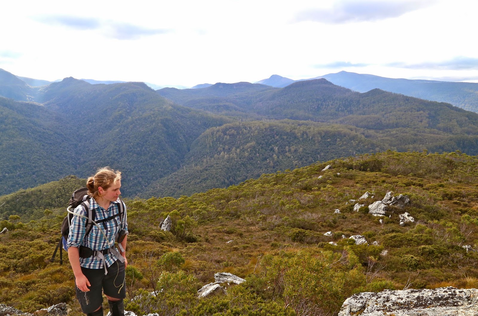
Bec has just finished her exams for this semester. She, too, was very happy to be out here with her friends.
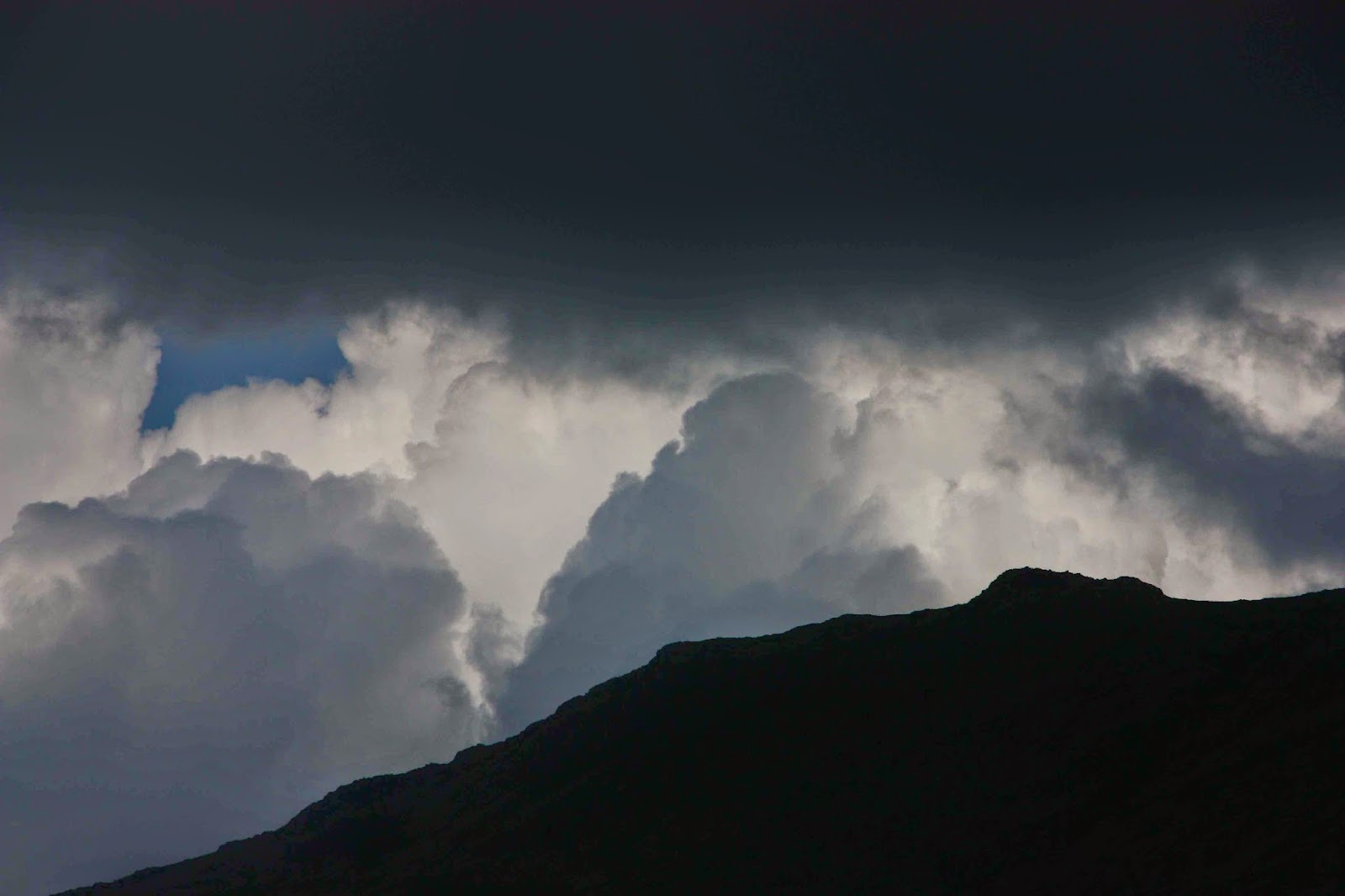
The lighting on top thrilled me, with patches of sun set against brooding and ominous coal-grey cumulus clouds in a moody scene. The quartzite rocks lit up when they caught the sun, already sinking in its short, low, winter arc across the sky.
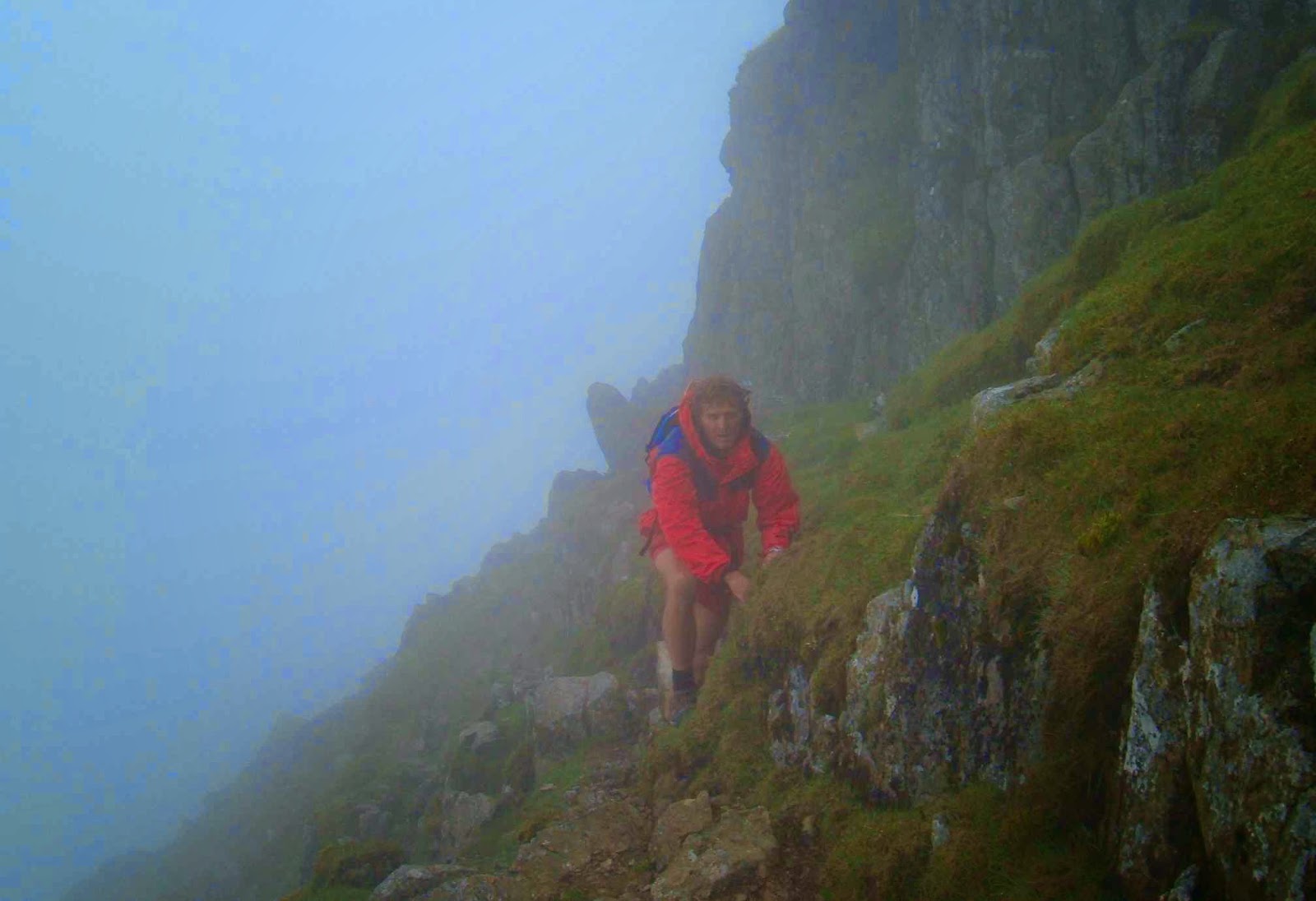
Becca on Bee Hive
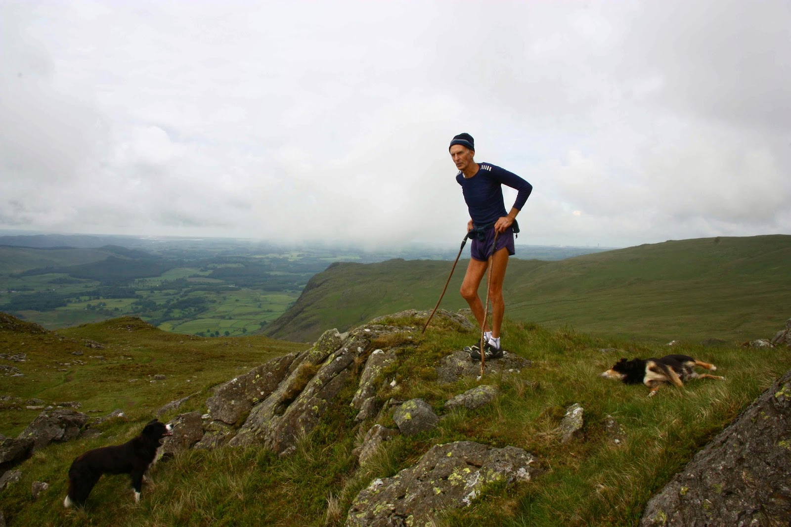
I was not well, so was in survival mode (and I was carrying my heavy 6D camera plus another one, so did not fancy falling); I therefore enjoyed being a spectator rather than participator of the game of button grass bounding that took place on our descent. It is quite hilarious seeing a man in a kilt (which Graham had chosen for the day) bouncing like a bunny rabbit from tuft to tuft. Graham was rather evasive when questioned about how traditional he was apropos of undergarments and kilts. He was obviously pretty confident about not toppling too badly. Mounds of button grass are not the most predictable of landing places that this earth has to offer.
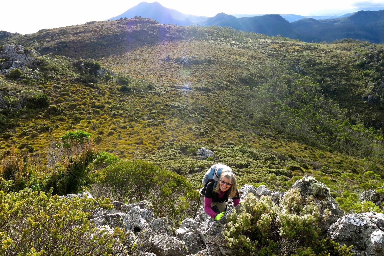
Coralie climbing an extra little bump we did on the way back

Soon enough it was time for the long haul back across the central highlands, dodging wallabies, paddymelons and possums, and trying to stay awake as I headed for home, starving.

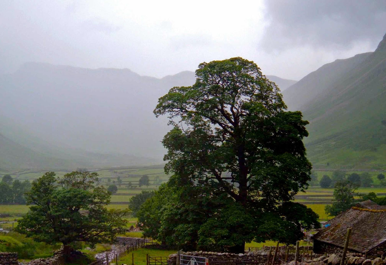
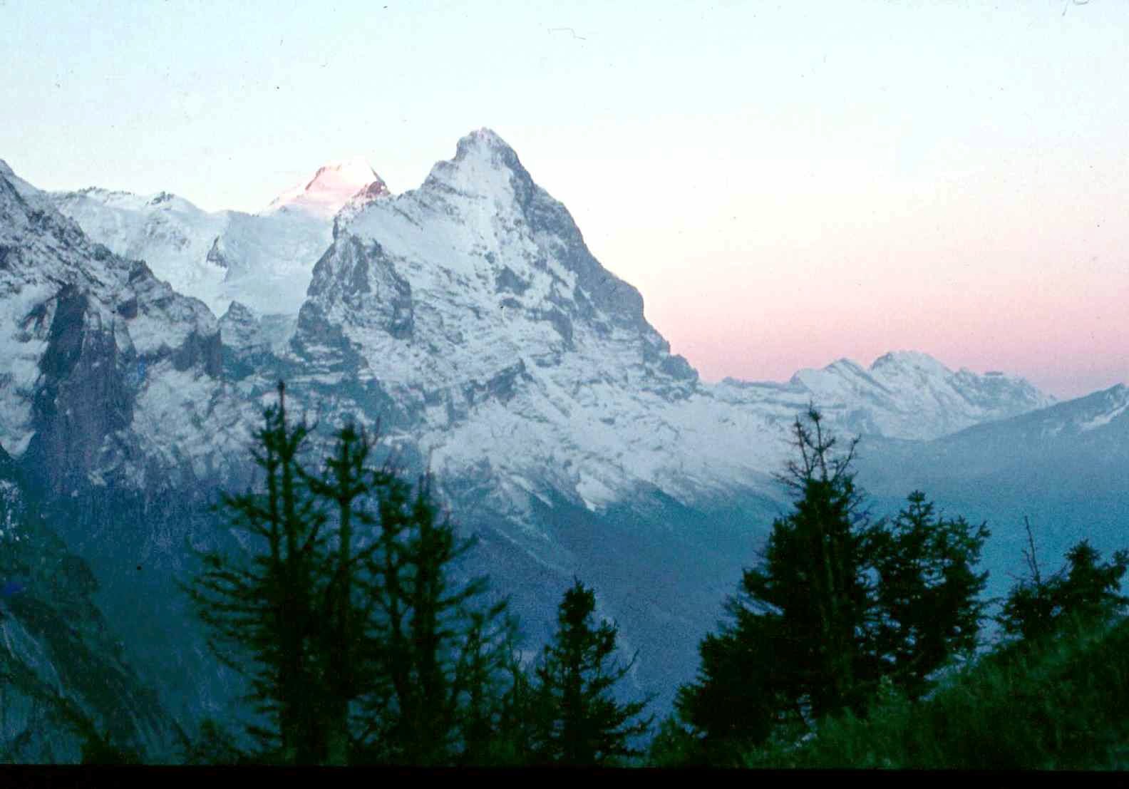
Beautiful Mt Gell with a spotlight on her southern flank
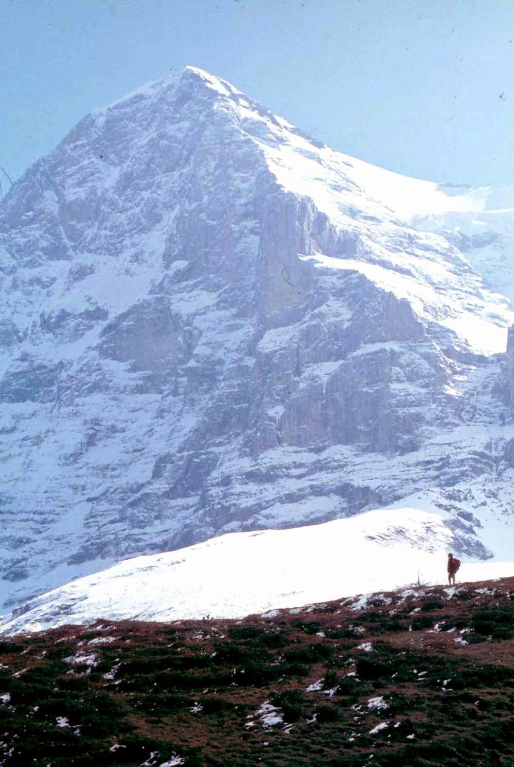
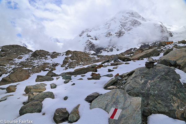
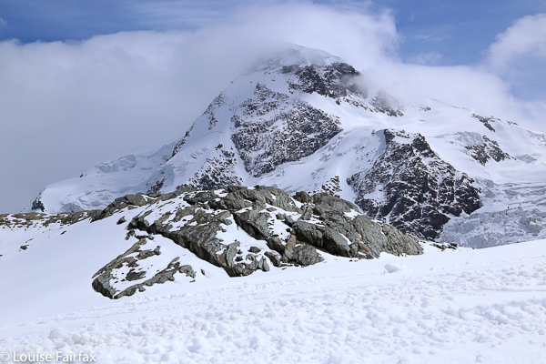