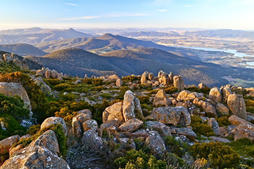
Bear Falls Feb 2020

The descent to, and then climb back out from, Bear Falls is exceptionally steep. The first 700 ms are flat, on a fire trail (Mt Wellington), after which you dive head first down a landslide (which I presume is the shocking 1872 “Glenorchy landslide”). In this plummet, you drop 440 ms in about a kilometre. That is whopping!!! Not only is it steep, but also, much of it is of dubious stability, that being the nature of a landslide. I personally treat landslide rocks with a great deal of respect. Sometimes the whole land can feel like it’s running away from you.
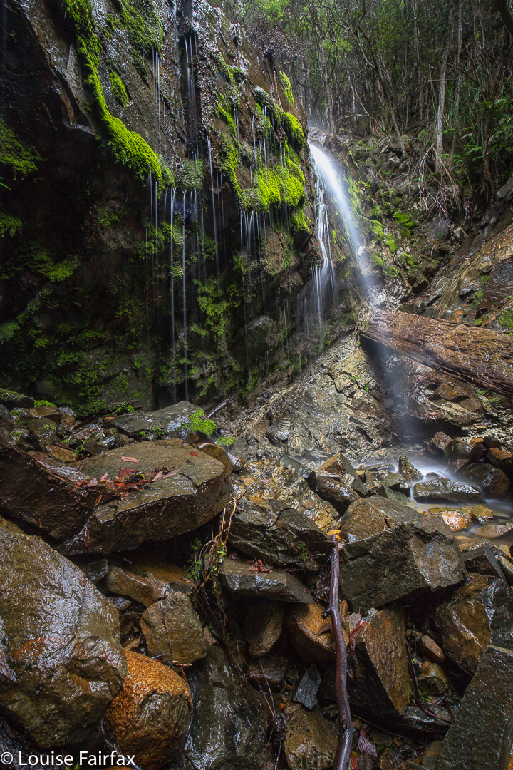
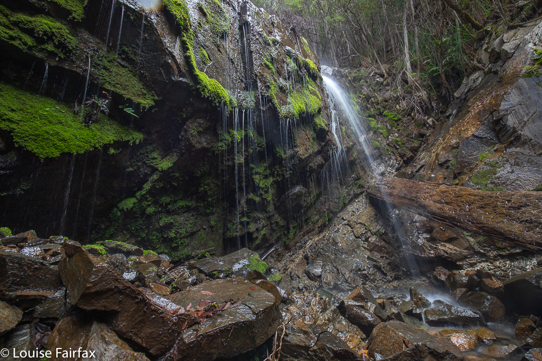
Bear Falls

As a result, I took far longer to descend (1 hr 38 mins) than I took to come back up again (1 hr 20 mins). I love climbing, and if you stumble going up, you don’t do nearly as much damage, so I feel free to exercise less care. On the way down, I tested every single rock before committing to it, and had three points of contact the whole way. Coming back up, I climbed like a bear on all fours, as required by the slope, and had fun and went as fast as I wished, which was actually pretty fast, as I was under time pressure: I wanted to get changed and have lunch before picking Abby up from Kindy. Relaxing before the onslaught of an exhausted four-year-old just released from the rigours of newly-imposed educational demands was also appealing. A tantrum is far more demanding than a steep slope.
Bear Falls are not marked on the map, let alone named. The tributary they are on is also not named – or not up that high, before it has amassed all its tributaries to become a rivulet. There are two mapped, and many unmapped tributaries. As most people don’t like ascending at the rate I do, I would allow far more time for this excursion, should you attempt it, than I did. I was squeezing it in between other demands on my life.

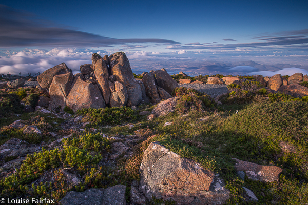
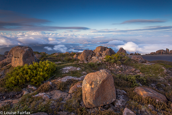
Wellington 2016 Jan

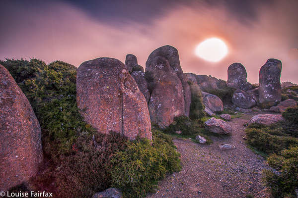
Mt Wellington 2016 Jan


I had been feeling guilty for a while that I had never turned my photographic attention to Mt Wellington. It is an Abel, after all. All I’d ever done was run up her, endlessly, in wondrous dreamlike runs where the world and all that is in it was temporarily forgotten while I floated to her summit. I loved my training runs on Wellington (or anywhere. I was always in a trance while I ran, and was in some very far off place. I still am, for that matter. Running is my “time out” from the world, where I can refresh my should for the next round).


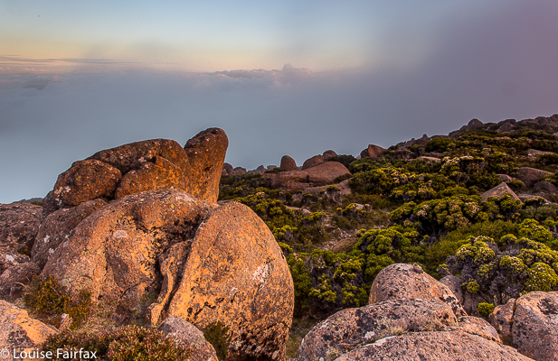
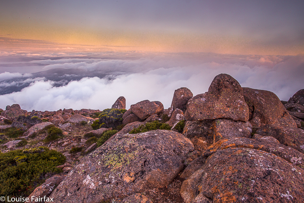
However, now it was time to come to the top by car, and to bring my tripod, filters and lenses to see what this evening could give  me and my camera. This is what I got.


At first, it was pretty nice, but then it seemed that it was just going to be a grey fizzer. I actually packed up and was in the car when all this pink came out. I had to do the most hasty set-up imaginable and chase the syun and the pink across the mountain. It was rather fun.

Connection 2015 Jan

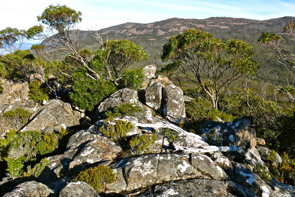
Mt Connection Jan 2015.

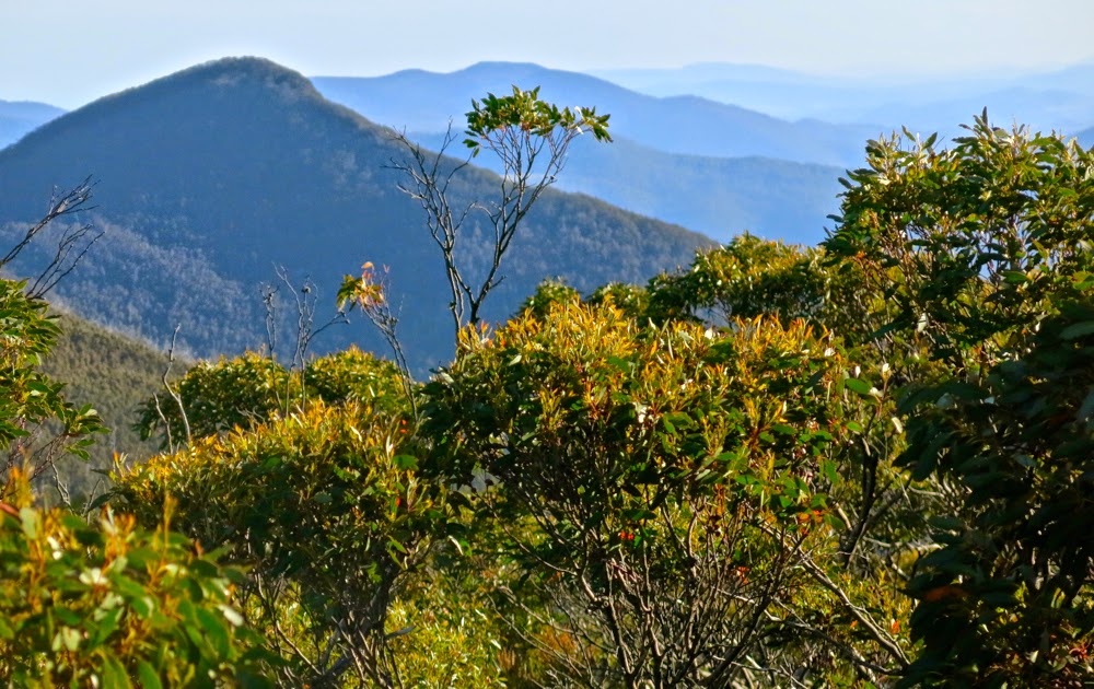
Mt Connection, view
The photos of Mt Connection in this blog come at a high price. Earlier in the day, I had done an orienteering race, in which I was (as one does in this sport) running along at high speed, reading my map closely as I did so, solving navigational problems and checking off landmarks in my peripheral vision, when I tripped over a 10cm-high obstacle and went flying. My first instinct in falling is always to protect my irreplaceable Swiss compass. This I did magnificently, but for the second time in my life, broke my hand whilst saving the compass. I really must stop this habit.

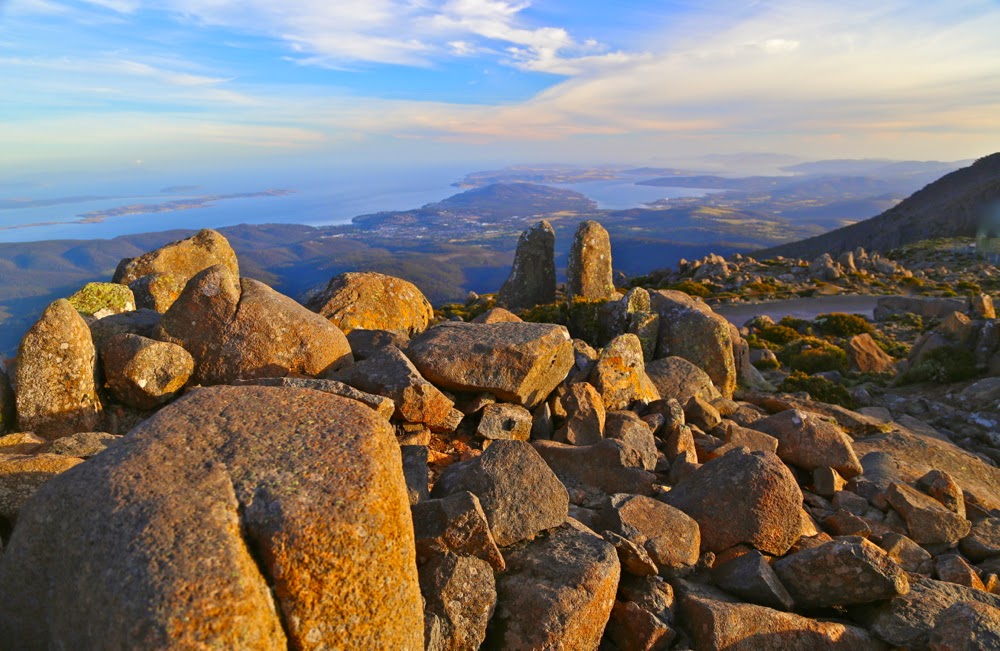
View back towards Wellington
Nonetheless, having promised to drive to Hobart and collect our daughter and toddler, I duly drove south, undeterred by the nausea I felt post-smash, planning to run to Mt Connection and back before dusk, photograph sunset on Wellington, eat some fine Hobart cuisine, camp high on Mt Wellington, photograph the dawn and then collect my family. The photos here are from the Mt Connection phase of that plan. I enjoyed my time on the mountain, despite the pain.

Unfortunately, only half the programme got completed. On the way back up Mt Wellington after dinner, I passed out and drove into a deep culvert at the side of the road and now our car is more smashed than I am. I guess I’d been in shock but only realised it after the event. We were rescued, but were not finished with towing until 2am.

After running to and from Mt Connection, we watched sunset from Mt Wellington

(My chosen route up Mt Connection was via the fire trail that departs from the Big Bend near the summit of Wellington.) I am now typing slowly with one hand. The surgeon operated yesterday to rejoin and untwist the severed bones. You’ll be thrilled to know that I got in another O-race and climbed another mountain before the hospital system put me under GA.