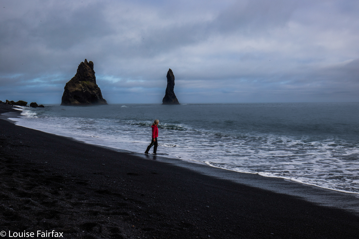
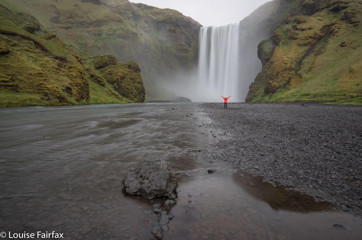
ICELAND 2019 3 Days 10-13

Rather than be efficient (who wants an efficient holiday?), I drove the long way (roads 54 and 59) around from Grundfjordur to Blonduos, back on the infamous Highway 1 (Day 10). At this unimpressive town, I had booked to stay at the Youth Hostel. The long way took a long time: over six hours of slow driving, taking things in, but not doing much photography, and even skipping the waterfalls on the map – mainly because Michelin is very enthusiastic about marking waterfalls, and they are not always there, and rarely called by the name this French map gives them. My main memory of this day is the monstrous struggle against sleep. No scenery stands out in my mind. The sun was shining but it was perilously freezing outside. I didn’t do any real exercise. I was just too uncomfortable.
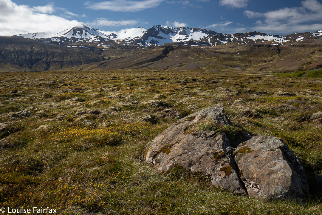
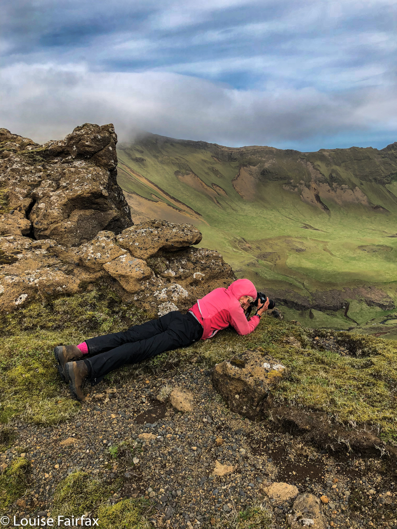
Heading east after Grundarfjörður

On Day 11, I also chose the long way around, but this time, I felt I scored. I was en route to Godafoss, and my accommodation at Fljotsbakki Farm, only 4kms north of the falls. Michelin had marked my chosen peninsula with green, which is usually a good sign. And this time it sure was – possibly more so as it was totally unexpected, and Jean Pierre at the Youth Hostel had specifically warned me against this road, as it was unsealed and slow.
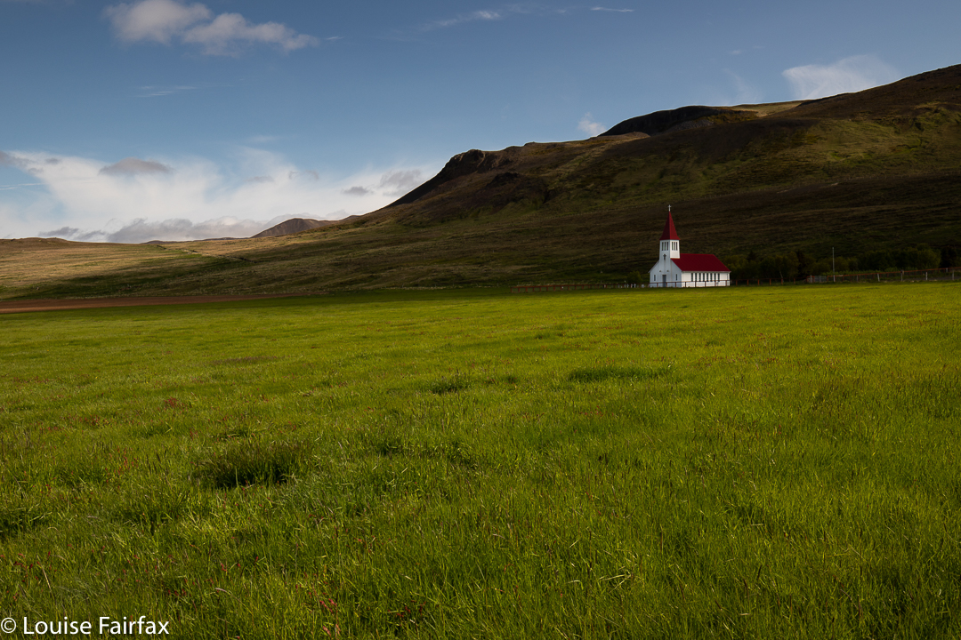
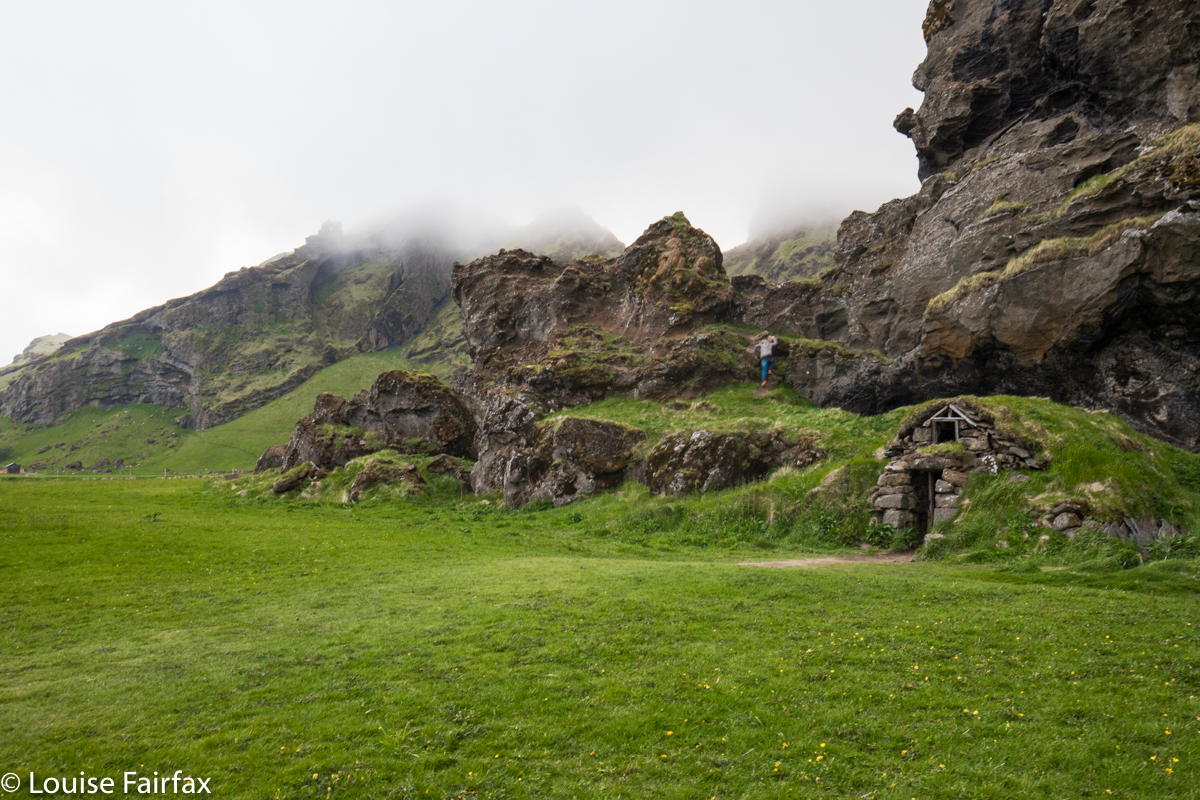
On Skagi Peninsula

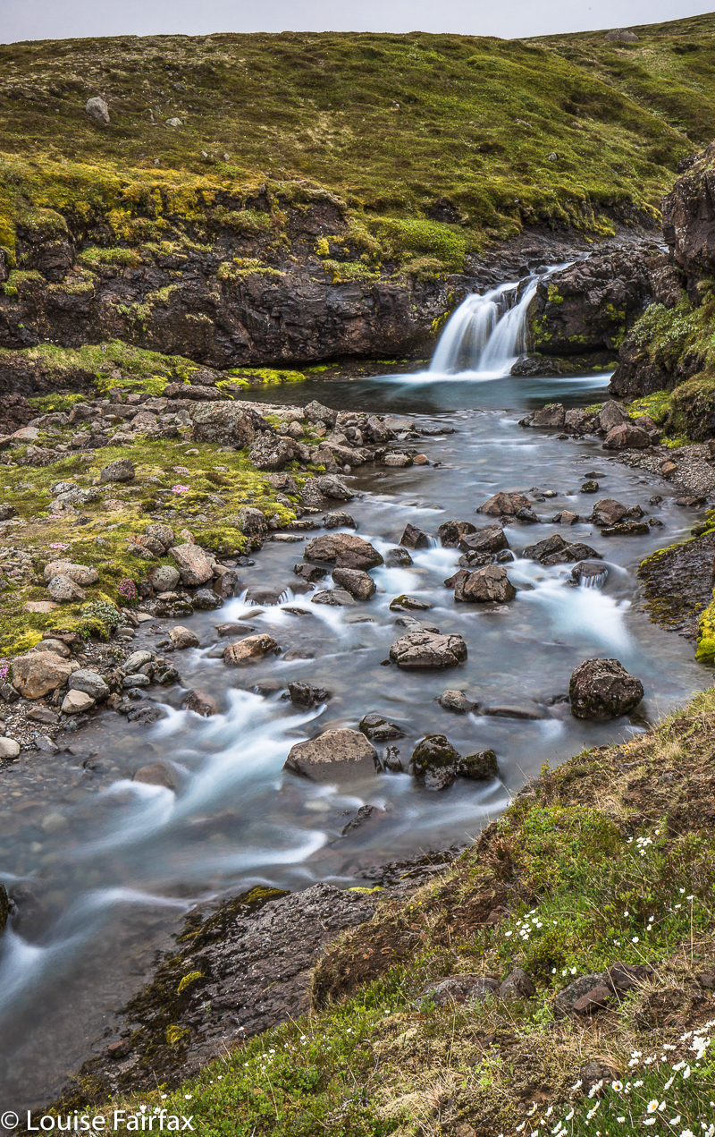
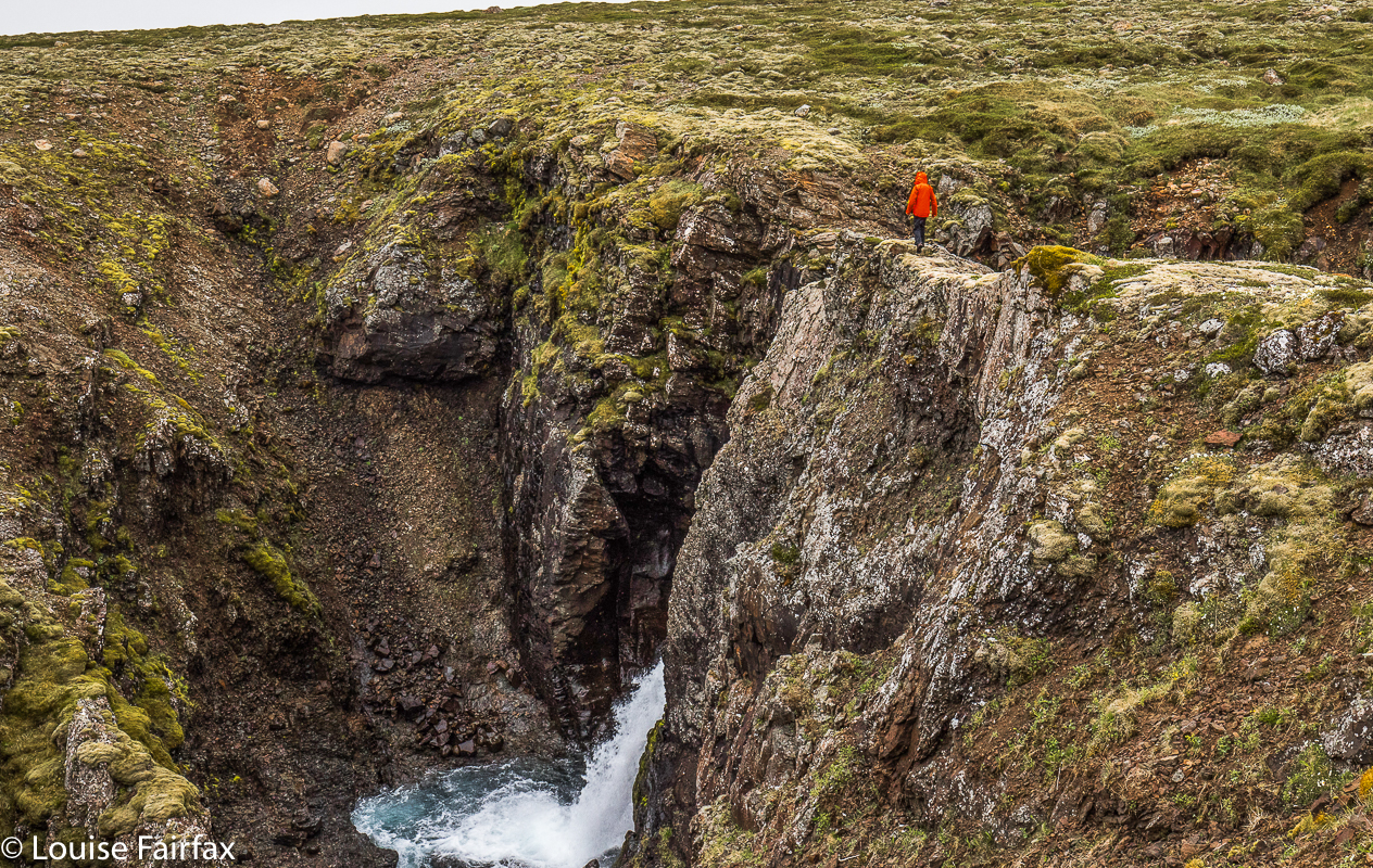
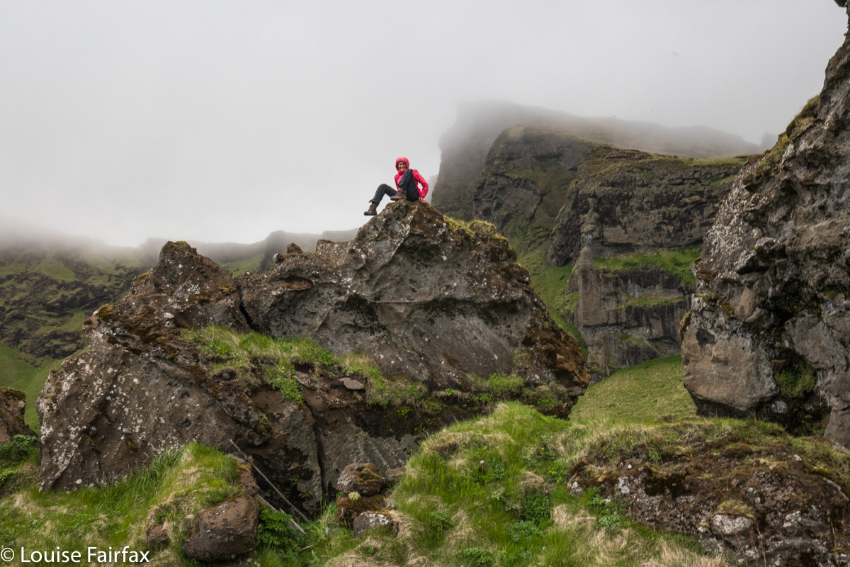
I think my favourite part was an area named Ketubjorg, which is a kind of gulch with massive cliffs. It sported an unnamed waterfall, so, in the absence of a given name, I dubbed it Ketubjorgfoss. After that took the main road, as I was sick of driving. I finally arrived at my destination after nine hours. Google had said it was a two hour trip (had I gone the short way and not stopped to ooh and aah at all the wonderful sights). I didn’t do all that much photographing, considering, as it was sleeting, and the wind was sharper than my kitchen knives (which, thanks to my older daughter, are of excellent quality).
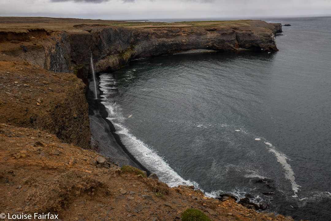
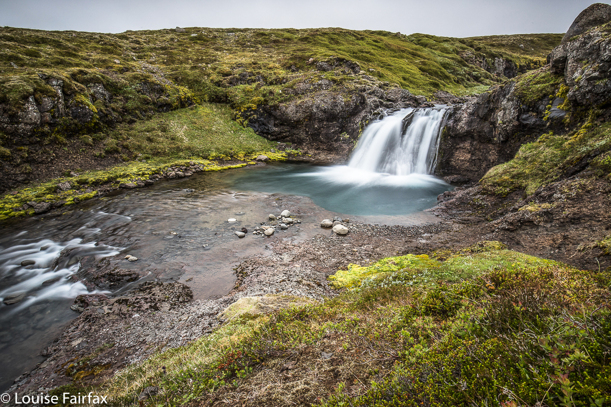
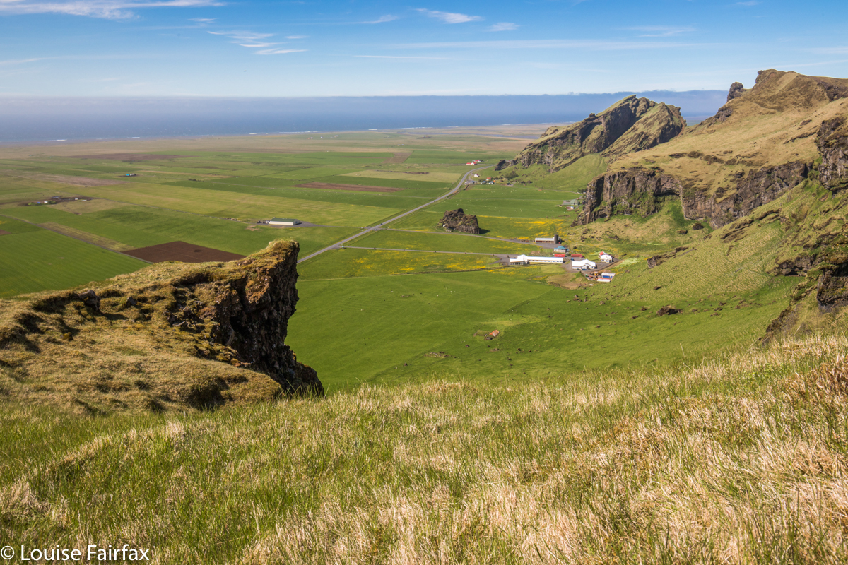
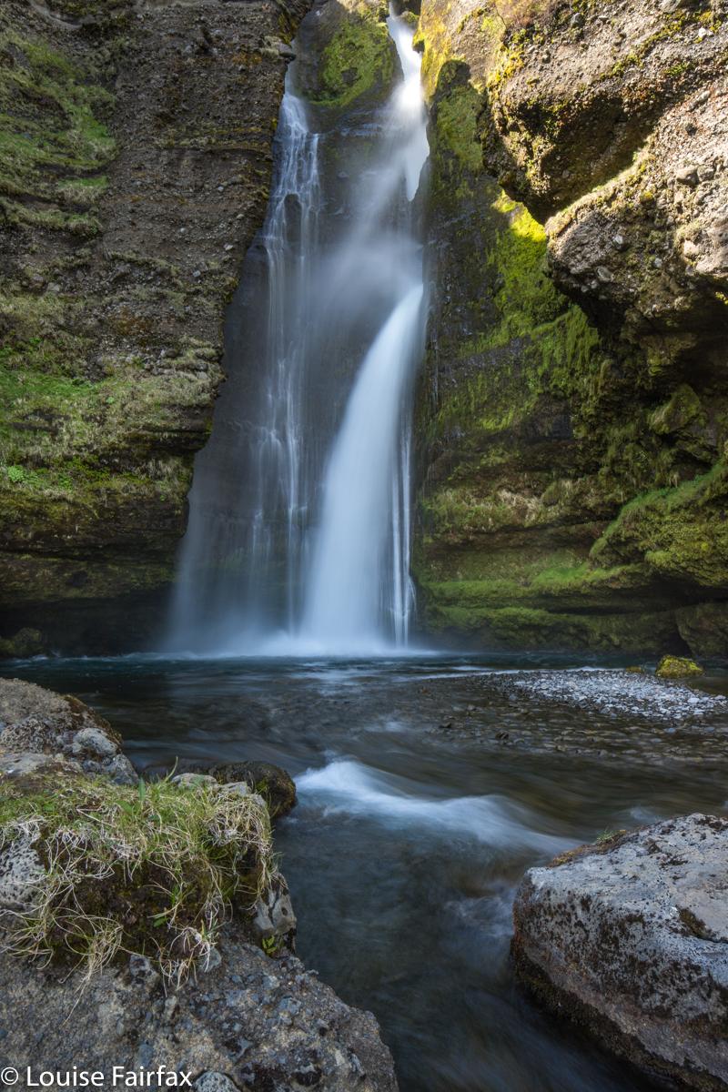
Ketubjorgfoss

Before settling in too comfortably, I paid Godafoss a visit. It was predictably lovely, but I was freezing cold, and there would certainly be no sunset of any description, so I hoped for better things on one of the later nights I had there.
History: Iceland was proclaimed a Christian country (divorcing itself from saga gods) in 1000 AD. Thorgeirr, the law speaker and a pagan priest, made the decision at the Allthingi (a kind of parliament held annually at Thingvellir, where a national park is now situated – see my blog Iceland-2019-1). Thorgeirr came back home to his farm here at Godafoss after this momentous decision, and, possibly to prove to the people he was serious, and to set a good example, threw his pagan gods into the waterfall, which has ever since been known as Godafoss, Waterfall of the Gods. I had always thought it had that name because any God of sensible choices would elect to have this waterfall as a token of beauty, might and wonder.
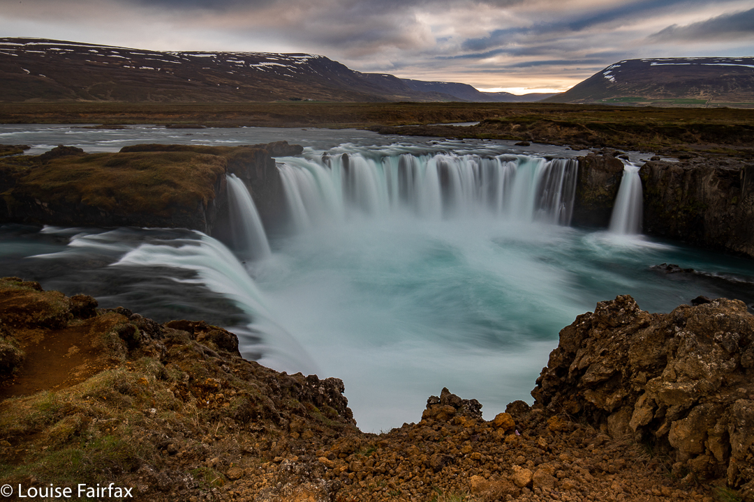
Godafoss

My visit to the Godafoss the previous evening had been to the more popular western side, so on day 12, I began the day with a visit to the eastern one, before doing an 8km hike in the hills behind my farm in snow and strong winds.
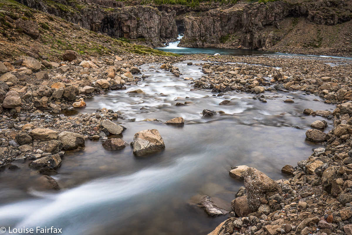
I also explored the stretch of the Skjálfandafljót River (which contains the foss) that runs past the farm. It is a magic blue for its whole length. Wild geese squawked as I went, but were never obligingly still enough for me to get a good photo.
I had planned to visit Aldeyafoss, also on the same Skjálfandafljót River, but a bit of a drive upstream. Emil, my host at the farm, encouraged me in this, saying it was definitely possible to get there. It was nice to have that assurance, as it sure didn’t feel like that in the final couple of kilometres.
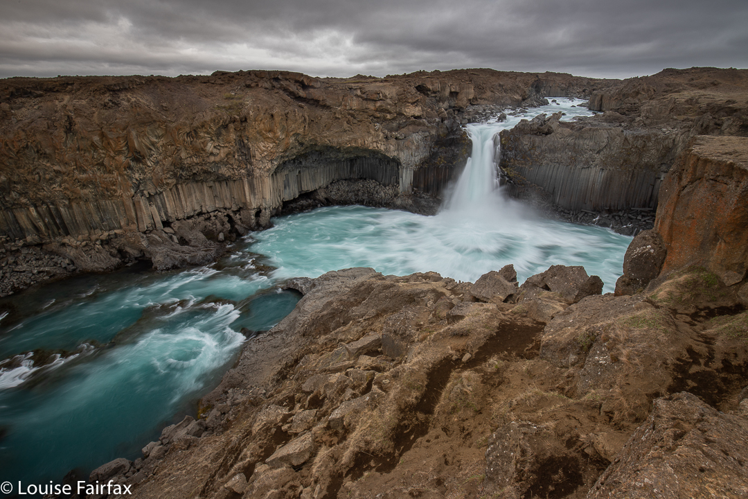
Aldeyjarfoss on Skjalfandafljot R

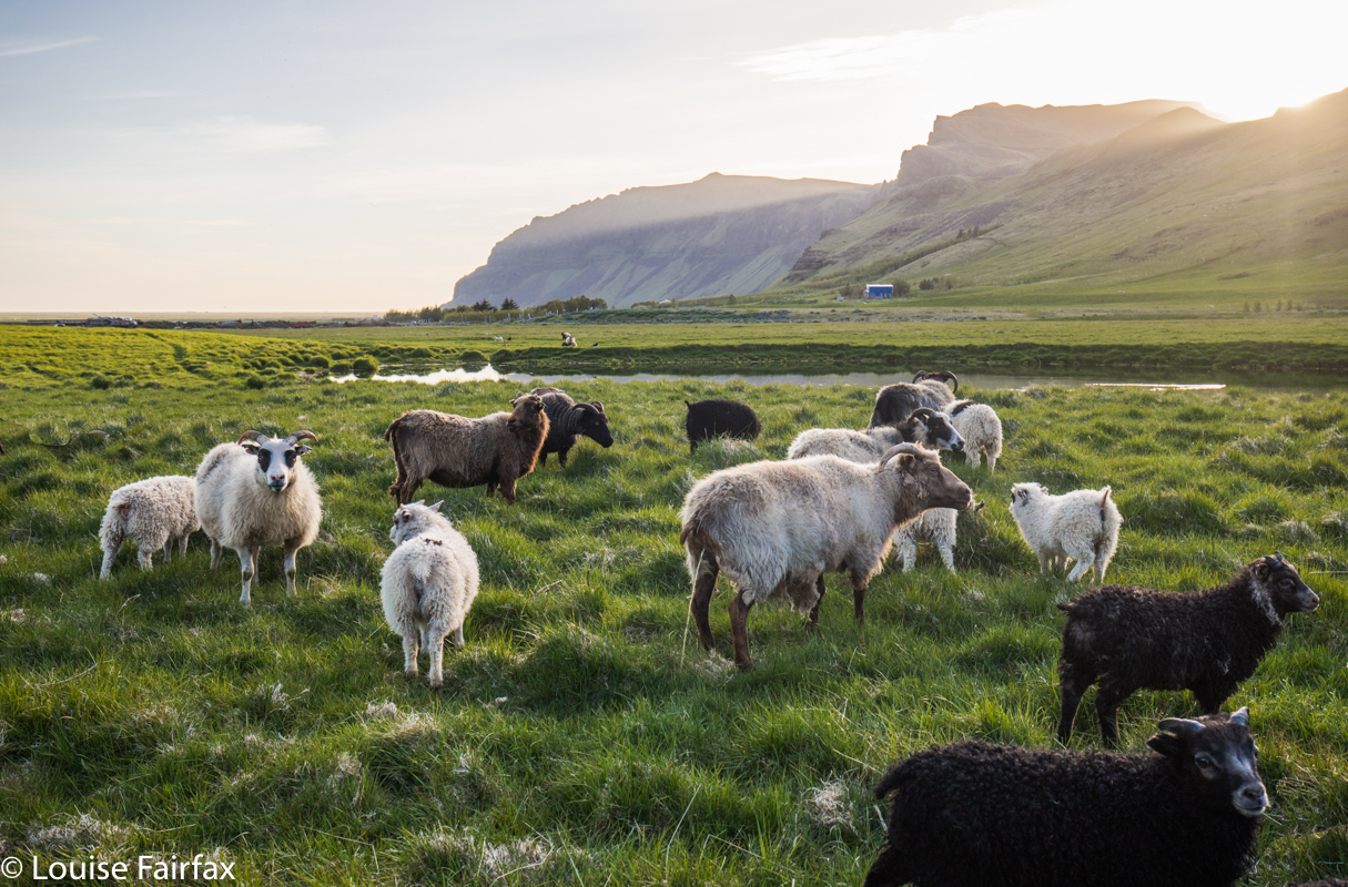
So, on day 13, I set out. I loved the route by the river, driving slowly with geese following my car, sheep here and there, the river of magic blue beside me, and snowy fells above. I followed this side (the eastern) for 24 kms, when google told me to cross the river on the bridge. I obeyed. After crossing, I went 14 kms to Myri, and then, oh joy, there was a sign to Aldeyafoss 4 km, my first indication that google was not mistaken. When I only had 2.2 kms remaining, signs announced that it was illegal to drive on this (now) F road ( it had gained this status at the turnoff); we could be fined if caught; we were not insured if we damaged our chasis. It seemed very scary, and I wanted to just park and walk, but it was snowing and bitingly windy outside, so I took what was actually the safer option, and stayed in my car until the last moment. To be sure of not damaging my car, I drove like a snail on what had been, up until now, an entirely empty road (sheep and geese excepted). Four cars materialised behind me. 4WDs. I pulled aside. They belted past. Luckily, none of the flying rocks hit me.
When I got to the falls, the occupants of these hasty cars were there, totally absorbed, not by the beauty of this place, but in taking a series of selfies, where the self in the image was so huge that the wondrous nature behind was obliterated. These were “I got here” photos and nothing more. Their fists were raised in victory. And yet these braggish people are so insignificant in the face of the mighty, powerful and enduring forces of nature. What absurd pretensions. One guy was so preoccupied with the self and how it would look in his image he almost bumped me over the cliff. I would have fallen several hundred metres to my death.
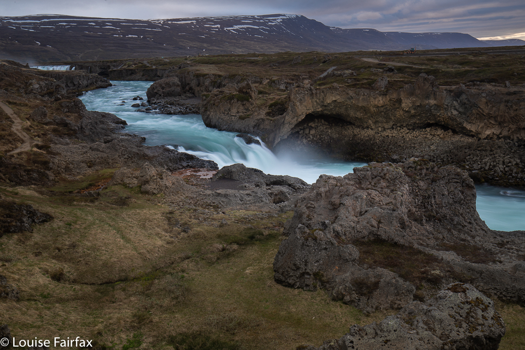
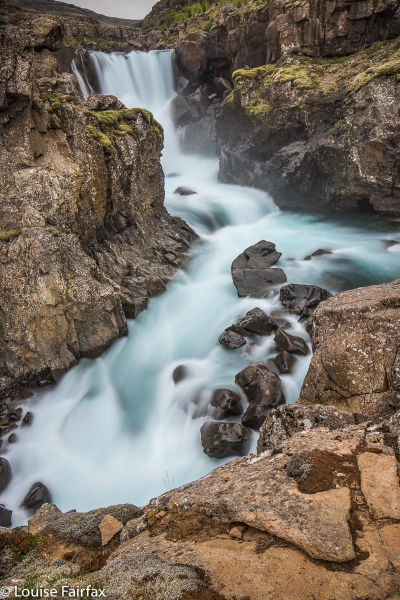
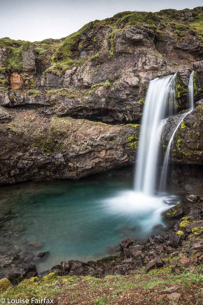
Skjalfandafljot River, unnamed falls north of Godafoss.

This is not the first time a selfie taker has done this to me. I am terrified of them and try to give them a wide berth. Their next move, now that there was actually room for me to take a photo of the nature I had come to see, was to ask me to take a photo of their whole group. I told them they could wait until I had taken a few photos (the light was good right now, so I wanted no delay, and wasn’t in the mood for putting these people first). I took maybe four, but they grew tetchy. Hey, my shots lasted several seconds each. I was delaying these important people. A guy had lined up the shot I was to take. Yes, these people entirely filled the frame. Behind them, one of the most beautiful waterfalls on this planet was only a tiny bit of background glare. I took it as requested, and one more that gave some context because I hated my task (no doubt they will delete it). Off they went. I photographed some more, although I couldn’t do justice to these falls. The wind was so strong I didn’t bother with the length of exposure that would show them to their best advantage.
When I got back to my car, I saw they hadn’t left yet, but, noting my approach, their bodies visibly stiffened and a frenetic rush to get away took place. They feared that I would get away first and thus hold them up, so they quickly finished photographing the guy who was going to the toilet and started their engines. There was no notion of manners or consideration to make sure I got this difficult section of 4kms dispensed with safely. They accelerated quickly away, sending dust and stones flying. I covered my camera to try to protect it. God had made them masters of the universe, and to hell with the rest of us. For now, I dusted off my camera but refused to do obeisance to people who thought the world was made entirely for their benefit. I managed to get out safely.
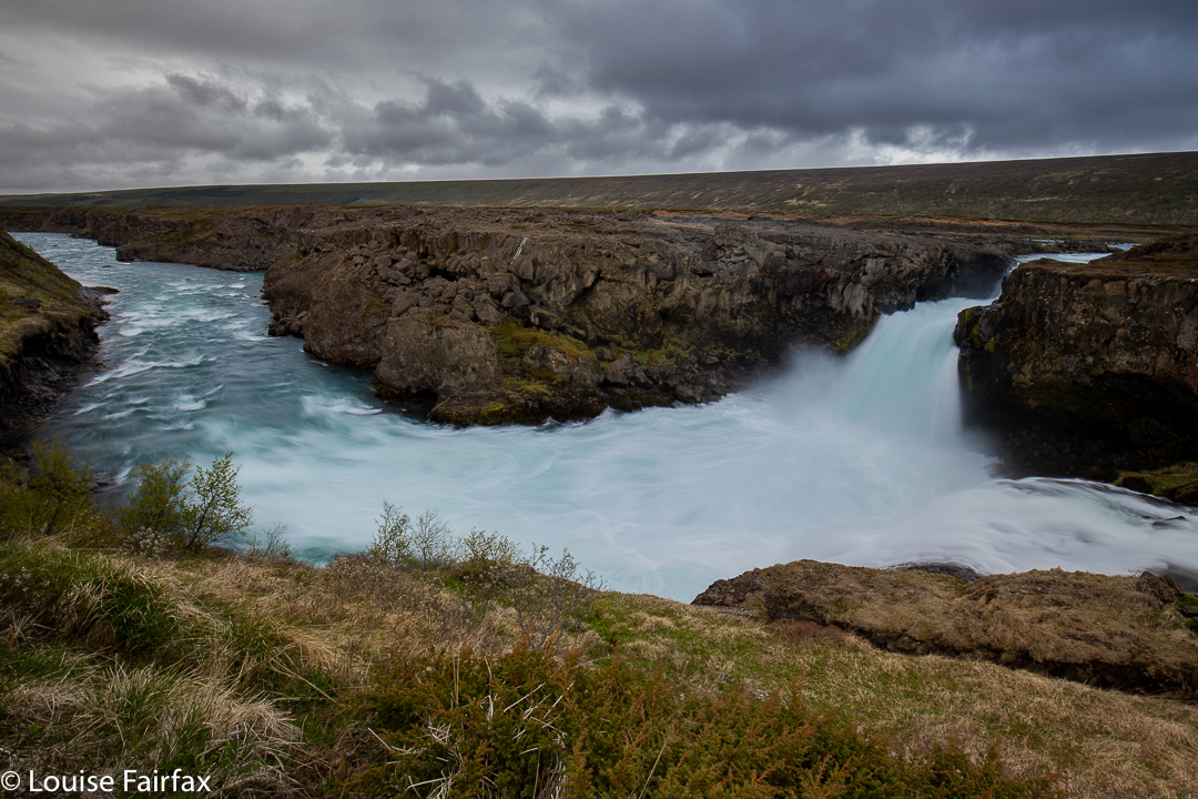
Barnafoss on Skjalfandafljot R

In the afternoon, I went, again at Emil’s recommendation, to the Barnafoss of this area, which is maybe 8kms downstream from Godafoss. (So, I have now photographed 4 falls in this river). Emil pointed out the farm where I was to park, across the river and in the distance. Maya, his wife, helped by map staring with me. Even so, I had to ask a friendly farmer, as nothing was a perfect match with my expectations. Emil was right about parking at the last farm. The friendly farmer implied I could drive all the way. My Subaru could have, easily, but I am driving a Hyundai, with exceptionally low clearance, so parked just after a fence boundary and walked what could be driven if you weren’t worried about insurance company’s ire. The pleasant enough walk on a 4WD road took me 37 minutes in each direction. Nobody told me I’d be on a road. I enjoyed the chance for some extra exercise, and the wind was no longer quite as fierce. It had even stopped sleeting.
At the road end, there is a tiny path with ropes for the slippery sections. The waterfall was so powerful, it was actually rather hard to photograph; the white froth dominated the scene too aggressively, and I only have a .6 GND since my camera on tripod blew over in a massive gust and smashed my Little Stopper and .9 GND. I really enjoyed having such a powerful waterfall entirely to myself, without the slightest risk that anyone would come that way. This waterfall is for locals. The name is also local, and the mappers haven’t put it on. If it were in Tasmania, it would have accolades as state champion of something. Blueness for a start. Volume per second possibly also.

ICELAND 2018 4 Final four days.

ICELAND 4 2018 June. Final four days.


Day 11 dawned grey and moody, like its predecessor, … so, we didn’t rush out of bed for sunrise photos (which was a bit of a relief: we were getting rather tired by now), and chose instead to just take the Horn in our stride as we continued east. We were nonetheless thrilled with what we saw. We stayed there so long that we needed lunch not too long afterwards, a meal had in a bunch of lupins with dark grey mountains observing our table manners.

I hadn’t done any research on the next section of our eastward journey: life would end at the Vestrahorn, all the rest was just marking time, I thought. Ha ha. The road was full of drama and wonder, and we also ended up having a fun game of hair and tortoise with a couple of other cars:
(Us to the Spaniards): “We’d better get a move on. The Germans have taken off already. They’re now in the lead.”
(Spaniards): “Don’t worry. You’ll overtake them. They’ll be distracted by the next lay-by”.
100 ms or so down the road:
(Germans): “Ah, you got us back.”
“Yes, the Spaniards bet we would. Look, they’re pulling over too.”
“We’re moving on now. See you at the next beautiful spot.”
“Yeah. In a hundred metres or so”.
We pulled out of the game when we hit the coast and got out to do some walking as well as photography.

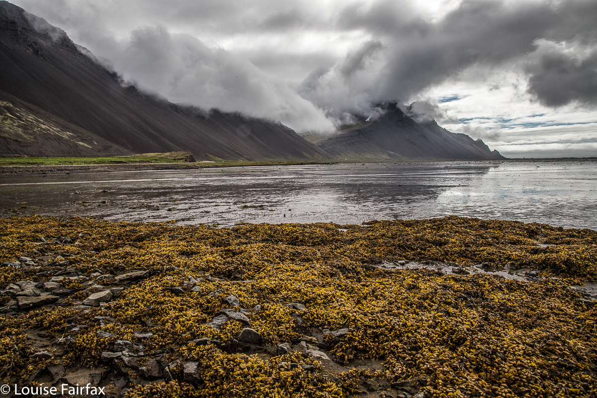
Coast past Eystrahorn


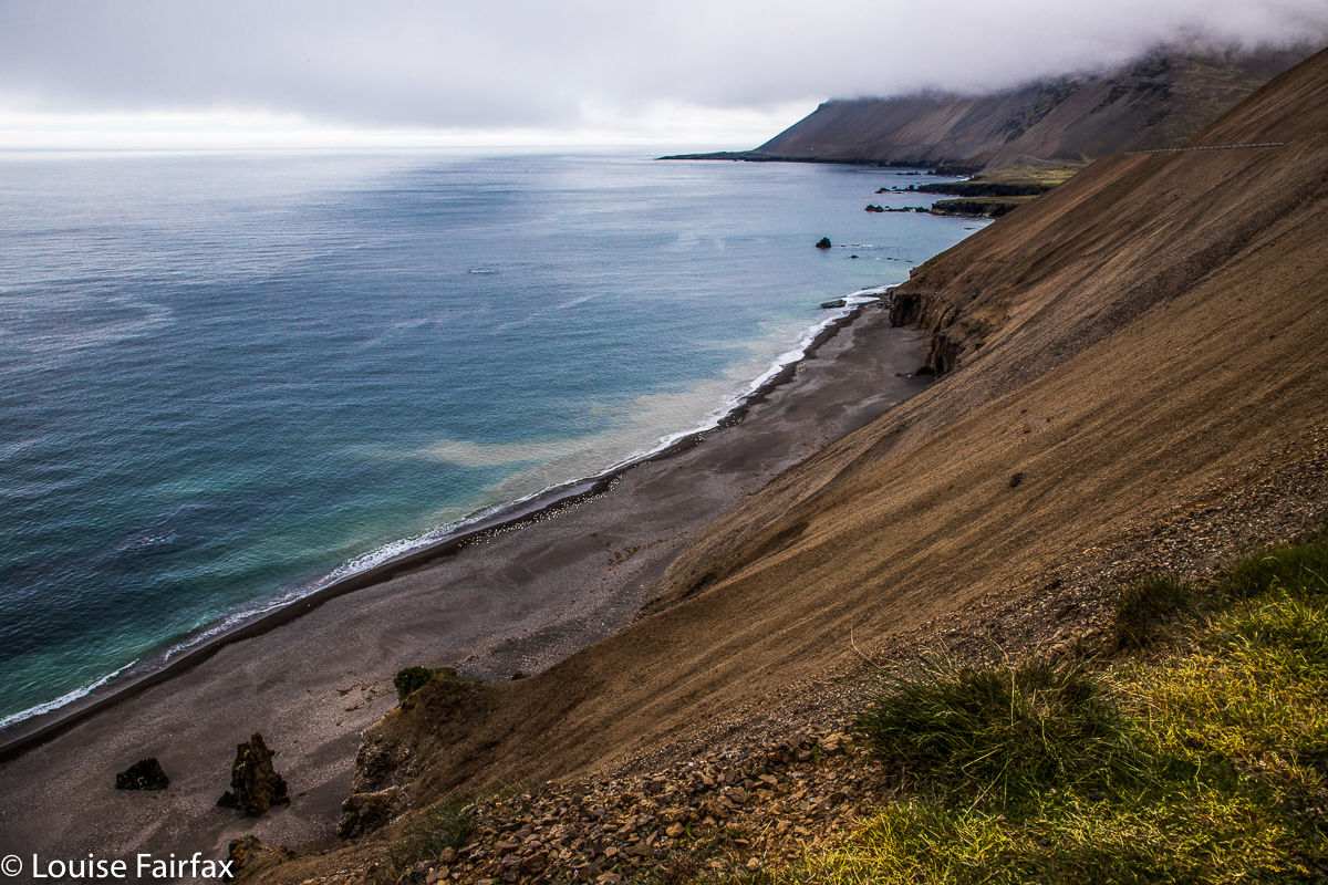
Coast after Djupivogur
And then we met Jay and Lissa, who are still our friends. Lena the brava had already crossed this big wide river with slippery boulders at the base of the Sveinstekksfoss. I was pussy-footing around its edges and had just decided to go back to the car when another couple pulled over. I watched while they did some vacillating about exactly where one might cross. (Lena clicked away, undeterred). I was relieved that someone else was worrying about their equipment like I was. I went up to them to make friends and compare notes. In the end, Jay crossed. I stayed on the safe side with Lissa, deciding the photos on the other side weren’t worth the risk to my gear.


Sveinstekksfoss from the wuss side of the river.
I had already determined we would next photograph the bigger waterfall behind from above, so drove there, and the same two parked near us. We liked them, but I was concentrating on my task. This time it was Lena who did most of the talking. They were gone when I once more entered the world outside my immersion in the scenic moment. We had found out their names, but not a great deal more. That night we checked out Jay’s photos on the web (www.jaykerrphotography.com/). They were gorgeous. We were sad that we wouldn’t see them again.

The higher version.
Somewhere between there and our accommodation at Berunes HI (YHA), I became aware that my phone was missing. I decided I had dropped it at the cafe where we had had afternoon tea. We couldn’t do the “where’s my phone” trick, as we needed wifi for that, so pressed on to the hostel. I expressed disappointment in Icelanders. Surely someone noticed I’d dropped my phone.  Why didn’t they call me back? We eventually found it in the door of the car. This lead to a few stupid in-jokes about Icelandic phone thieves, in which we would giggle, but others were no doubt dumbfounded as to the point of our mirth. Don’t worry. I’m sure there are no phone thieves in Iceland. We felt delightfully safe there.

Our hosts at the fabulous Berunes HI were Steinn and Sigridur, so I have called this waterfall Steinnurfoss. It is on Steinn’s family’s farm. Hope he doesn’t mind the name.
We loved absolutely everything to do with Berunes: it was so delightfully isolated; the hosts so utterly friendly and lovely; the food, so extremely delicious. We wished we had arrived earlier, but at least enjoyed the tiny bit of time that we had allowed. The fish soup for dinner was exquisite. The cinnamon and apple porridge for breakfast (and fresh bread), just what anyone would dream about.
Day 12.


Steinnurfoss from a different aspect.

Gilsarfoss, also on the farm.
After these private waterfalls, our next goal was to go and see the puffins on the north east coast. Now, it is just a little failing that Lena and I share by bad genetics that we get so excited by the immediate happenings that we kind of forget practical little details like buying petrol. This was the third time this trip where the wretched petrol light went on in the middle of nowhere, putting us in mild panic. This particular nowhere was situated such that we knew we could not go backwards. We just had to hope that forwards would work. There was a name on the map, written in purple. Surely that was a good sign. Lena consulted Siri, who gave us directions. Hoorah, we made it over the mountain pass (always a test when low on petrol), and began rolling down the other side, still in the middle of nowhere. Siri announced we had arrived. We were laughing so much I had to stop the car. We would have had a terrible accident had I not pulled over.

Me playing with edges on the natural arch above Gilsarfoss.
What on earth were we to do? Well, we’d just have to go on until we ran out, and work things out from there. On we pressed. We saw yet more beautiful scenery, so pulled over to photograph it. Hey, you might as well run out of petrol with beautiful pics in the camera.  Who should pull over at the same spot but Jay and Lissa! We were overjoyed to see them, and said that if we make it to the puffins, and if there’s a cafe there, we must have coffee together. Meanwhile, Jay said he’d drive behind us to kind of mop up if we didn’t make it. This was a fabulous offer, and we felt very secure all the way to the funny little shed with funnier man who, unbelievably, sold us petrol.

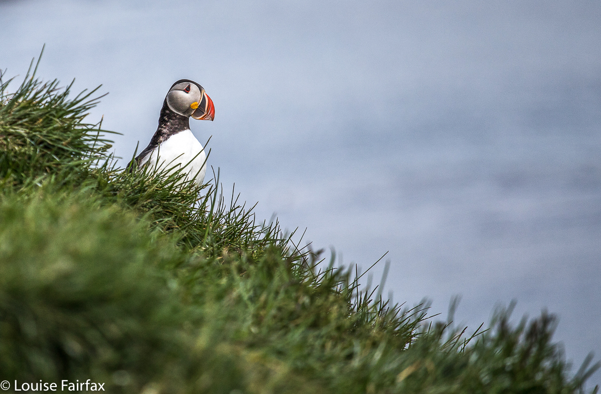
Now we could relax photographing puffins with Jay and Lissa; now we could enjoy the over-an-hour having coffee when we really should be driving to our next accommodation, which we finally reached at quarter to eleven when the owners had gone away (but, never fear, it worked out fine). Driving into Seydisfjordur with ice and snow and steely gloom was very atmospheric. This was our final day of pure pleasure. The next two days would involve a huge drive west to get us to the airport in time.

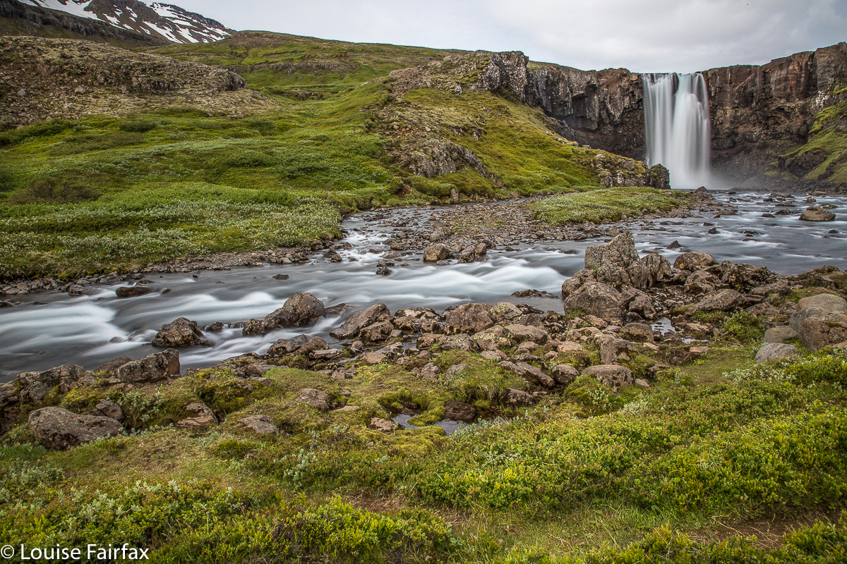
A wretchedly truncated stop by the fabulous Gufufoss as we set out from Seydisfjordur. Don’t worry beautiful foss. I will be back next year to give you more time!
Day 13
. This day was earmarked for driving as far as Vyk. This seemed to me a daunting task, and I was very tense at breakfast time. We did not really stop much anywhere along the way (apart from at the Gugufoss, right at the start of the day), which was great as we arrived at Vyk, somewhat dizzy but alive, around 2 in the afternoon.

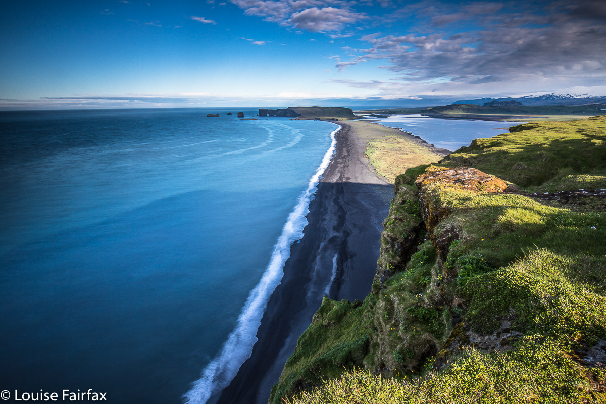
This thrilled me, as I really wanted to see Dyrholaey, and now we had the chance. It was fun up there watching the lowering sun, and enjoying the cliff edges.

Dyrholaey and its fabulous cliffs.
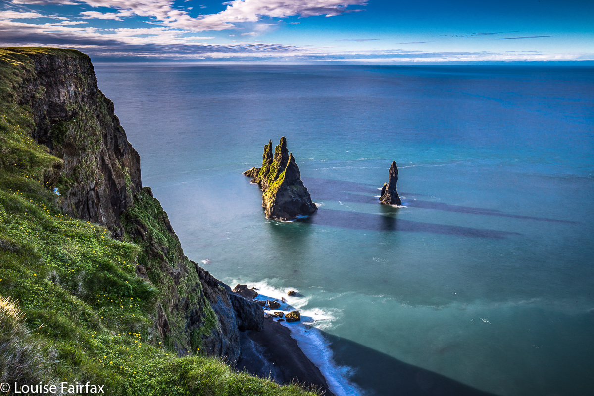
Day 14. This was such a sad, sad day: our last full day in Iceland, but we were too busy enjoying it to think much about sadness. We began at 4.50 a.m. with a climb up the Reynisfjall, to shoot the Reynisdrangar from above as the sun rose in the sky. It was utterly exhilarating up there. It was also rather cripplingly cold, but we managed. Beauty invigorates somewhat.

The rewards of climbing a mountain at 4.50 a.m. are many.
Our last full (delicious) breakfast in Iceland, and off we headed west again, bound for the airport, but with a swim at an historic hot pool, fed by a thermal spring in the mountains – a pool (we had been told by Timea) that was the oldest in Iceland. Lena swam while I climbed up high to a beautiful area above. We had some delicious soup for lunch not too far away, and then full speed ahead for the airport.

The famous Reynisdrangar from above. This perspective dwarfs them. A human does not even come up to the first and bottom bump on these giant rock towers.
Our very last night was utterly hilarious, mainly due to the discrepancy between expectation and reality. I don’t want to offend the owner of the accommodation, who, I assume, does everything she can to make it work, but the situation gave us so much mirth that tears ran down our faces, and we clutched our aching sides with the hilarity of it all (not in the owner’s presence). Instead of a final celebratory meal (to be had in a town that didn’t exist), we had a few scraps from our food box and more laughs. “The last night and the last meal are never good,” says Lenie.


Selja River, above the famous pool. Lenie swam; I explored the higher ground … both quite predictable. Farewell beautiful Iceland. I will be back!

ICELAND 2018 3 Days 8-10

ICELAND 2018 3 Days 8-10
Day 8.
 I had not lined any accommodation up for this night. We do enjoy having a little flexibility written into the schedule to allow for spontaneous reactions to scenery. We wanted to move on a little bit, but not too much, so called in at the tourist bureau at Hoffn, and found a nice looking farm to the west that had room for us: Skalafell Farm.

Before we went there, we had seen on the map a mountain we wanted to climb, so headed there first. The problem was that there was a river we had to cross with water that was thigh high. I can’t climb mountains in my gum boots, and did not want to saturate my hiking boots that i was wearing all day every day, so I sussed around the place while Lenie waited patiently on the other side, having made an icy crossing in her higher boots. They still let the water in however, as seen below.
IMG_0882      (click on it to see 9 sec movie)
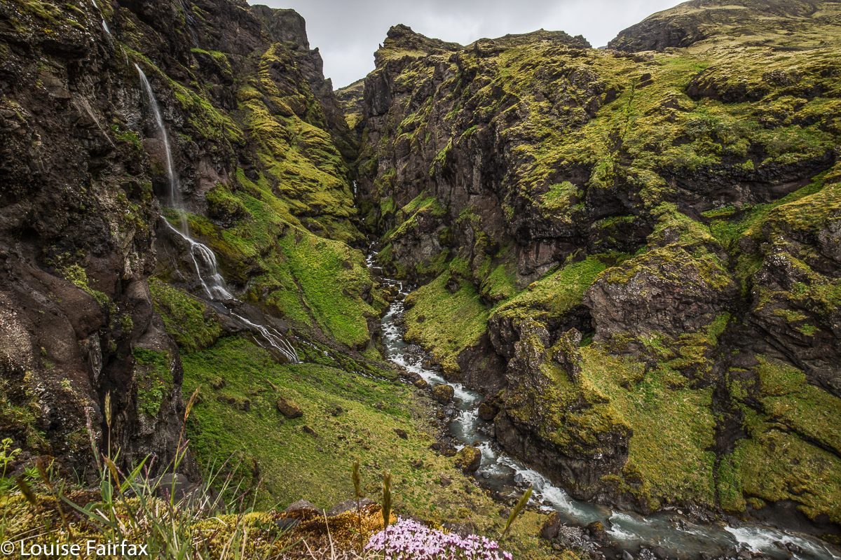
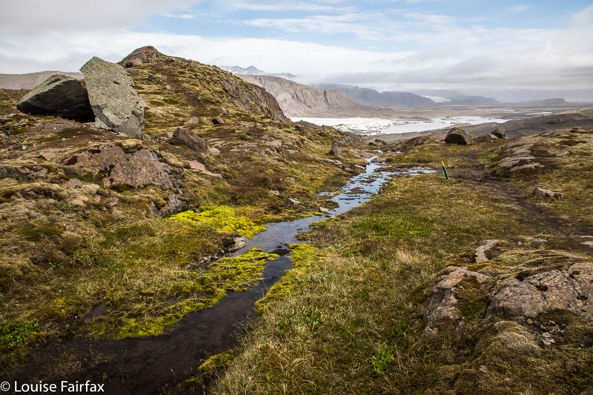
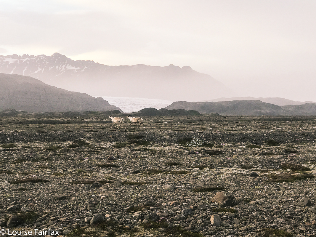
This only took an hour, so after we checked in, we were eager for more, and walked to the farm’s glacier (doesn’t every farm have a lagoon and glacier out the doorstep?). Our hostess said this was a “three-hour circuit”, with several nice mountains in addition to the glacier. It also turned out to have wildflower beds and reindeer.  Even with all those distractions, it only took us a bit over two hours, which meant we returned just in time for our delicious dinner at the farm. For a change we at real food instead of soup.


After dinner, we went to the base of the Heinabergsjökull that we’d seen from our walks earlier in the day. Straight ahead in this photo is the mountain i didn’t club in my gumboots. There were more reindeer there. The other guests at the farm were thrilled that we’d seen two groups of reindeer. We were pretty stoked too.
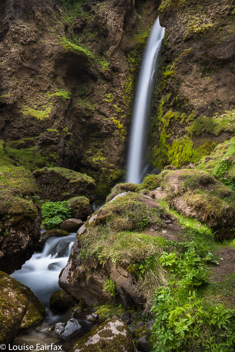


Day 9. I so enjoyed the hike yesterday afternoon that I did it again this morning, further reducing the three hours down to one and three quarters. Lena used that time to get some work done. It’s nice to be able to do our own thing as well as enjoy our fun together. The whole time we were in Iceland, she was juggling her work to fit in with everything else. She is her own boss, so can manage such things.
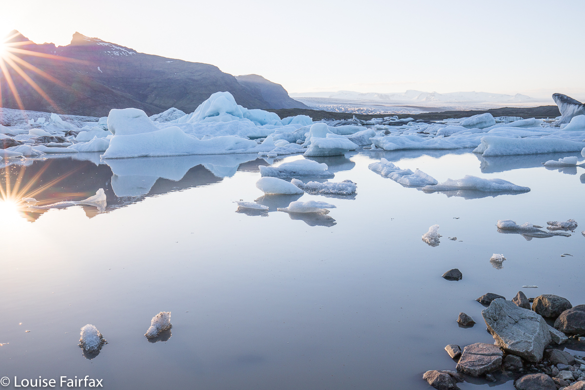
After a picnic lunch, we moved base to Hoffn HI (YHA) and then hiked from a place on the map called Hoffell (which had nothing more than a carpark). We climbed up above a glacier called Hoffellsjokull and further, up a mountain, named Geitafellstindur, which was exceptionally steep and loose in the later stages. Lena was not happy with her mum there, but was very brave – much braver than I had been crossing zero degree waters.
That night in the Youth Hostel, we delighted in having a kitchen, and cooked up a huge stirfry of veggies.

Day 10.
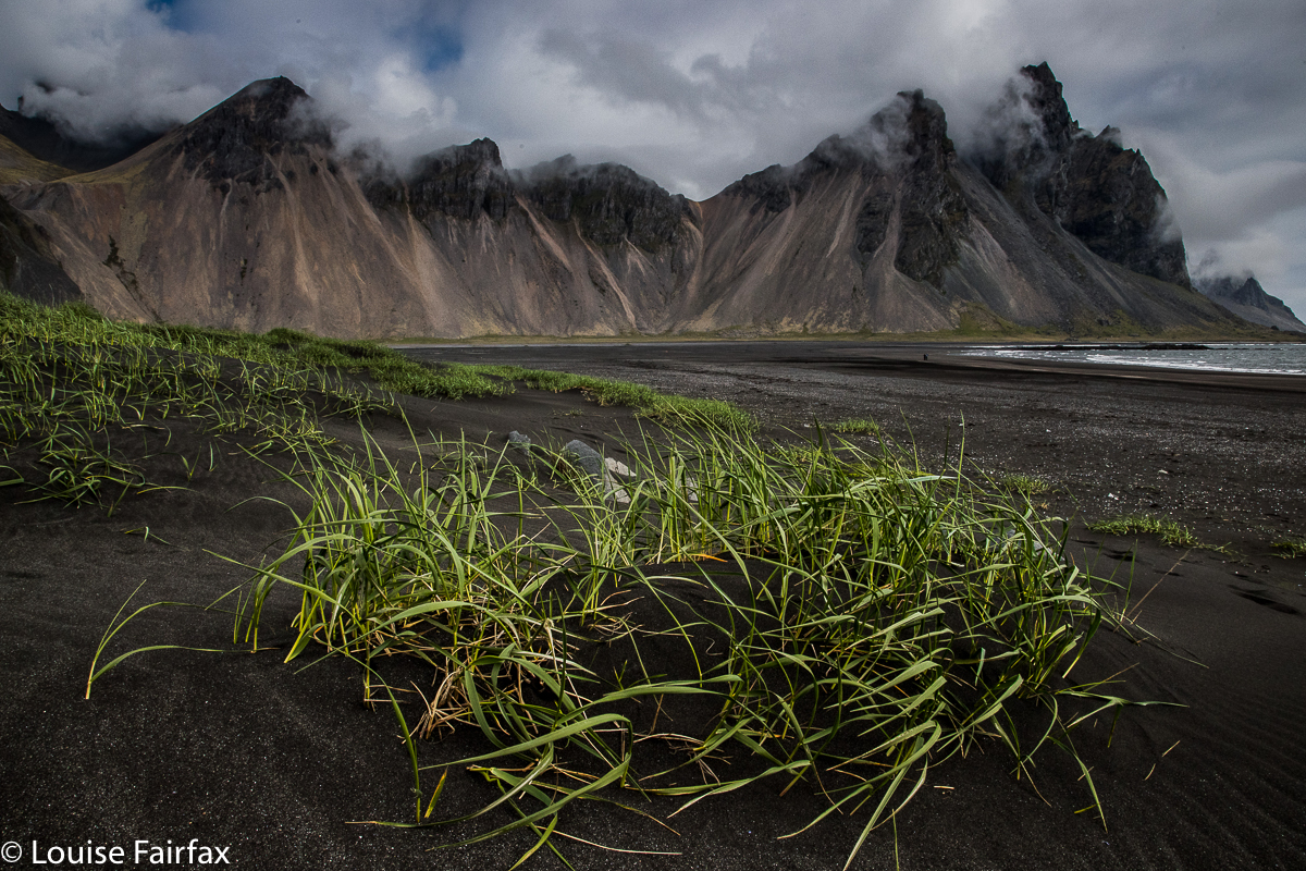
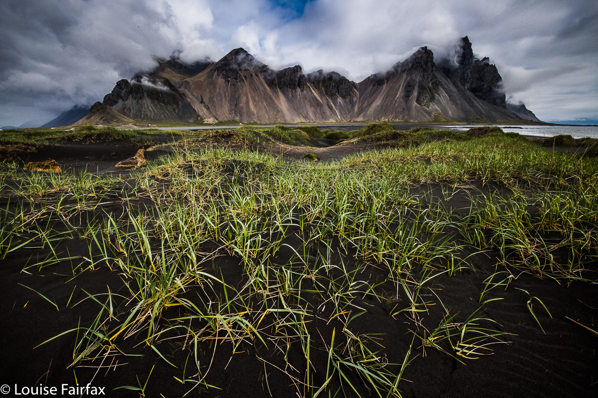
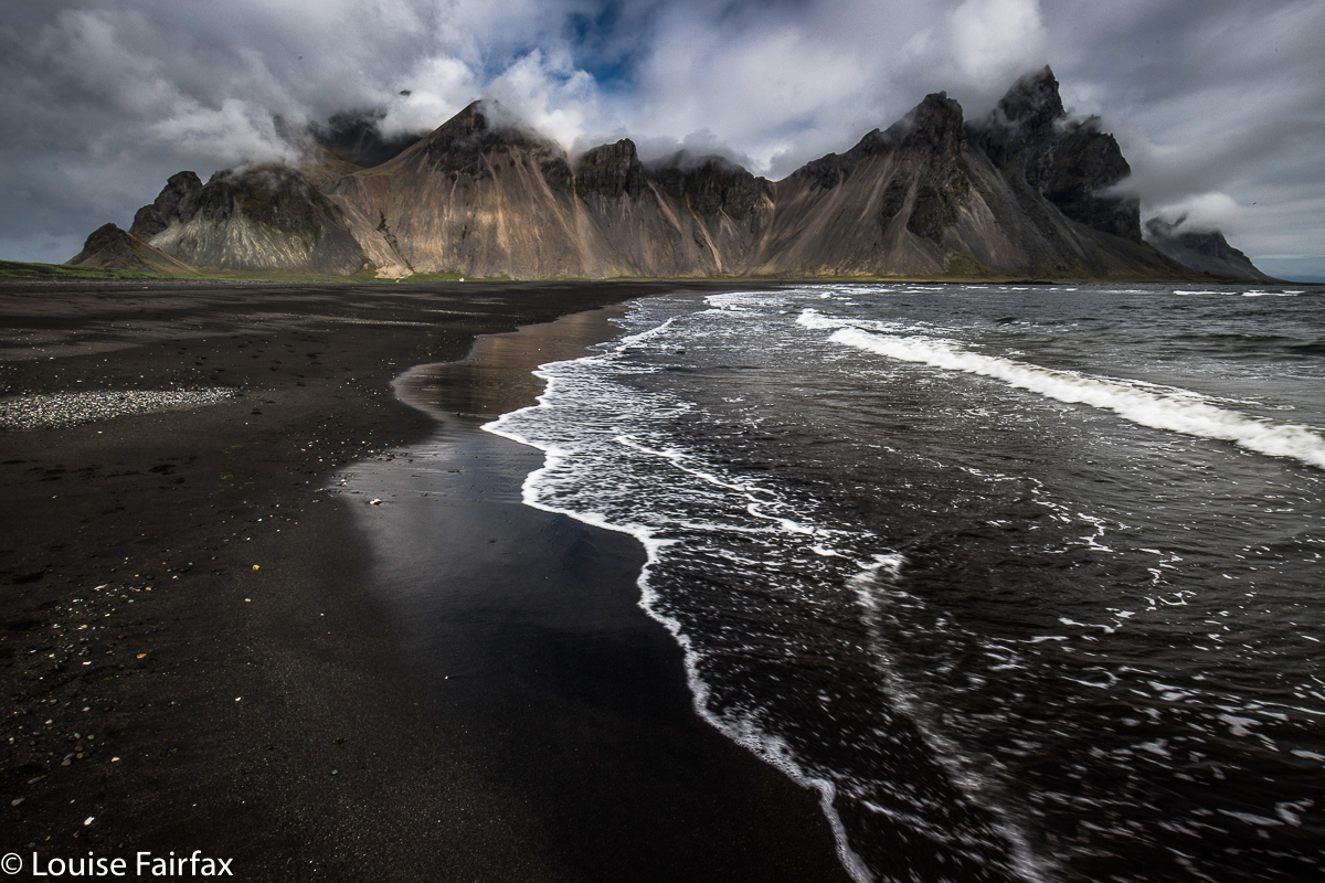
The major item on the agenda for this day (and the morning of day 11) was to visit the mighty Vestrahorn. As with everything I had planned, I was so glad I had given each place sufficient time in the agenda to give space for a “bad hair day”. Vestrahorn had one of those on this day; truth be said, Iceland did. We had a restful day of very little photography, some short walks, and probably too much eating. But I sussed out the Vestrahorn, inspecting the location and eyeing up all possible andes for the next day’s attack. The photos here are from that next day, as our first move in the onwards journey east.


I did say it was a “bad hair day”!

ICELAND 2018 2 Days 5-7

Iceland 2018 The second three days


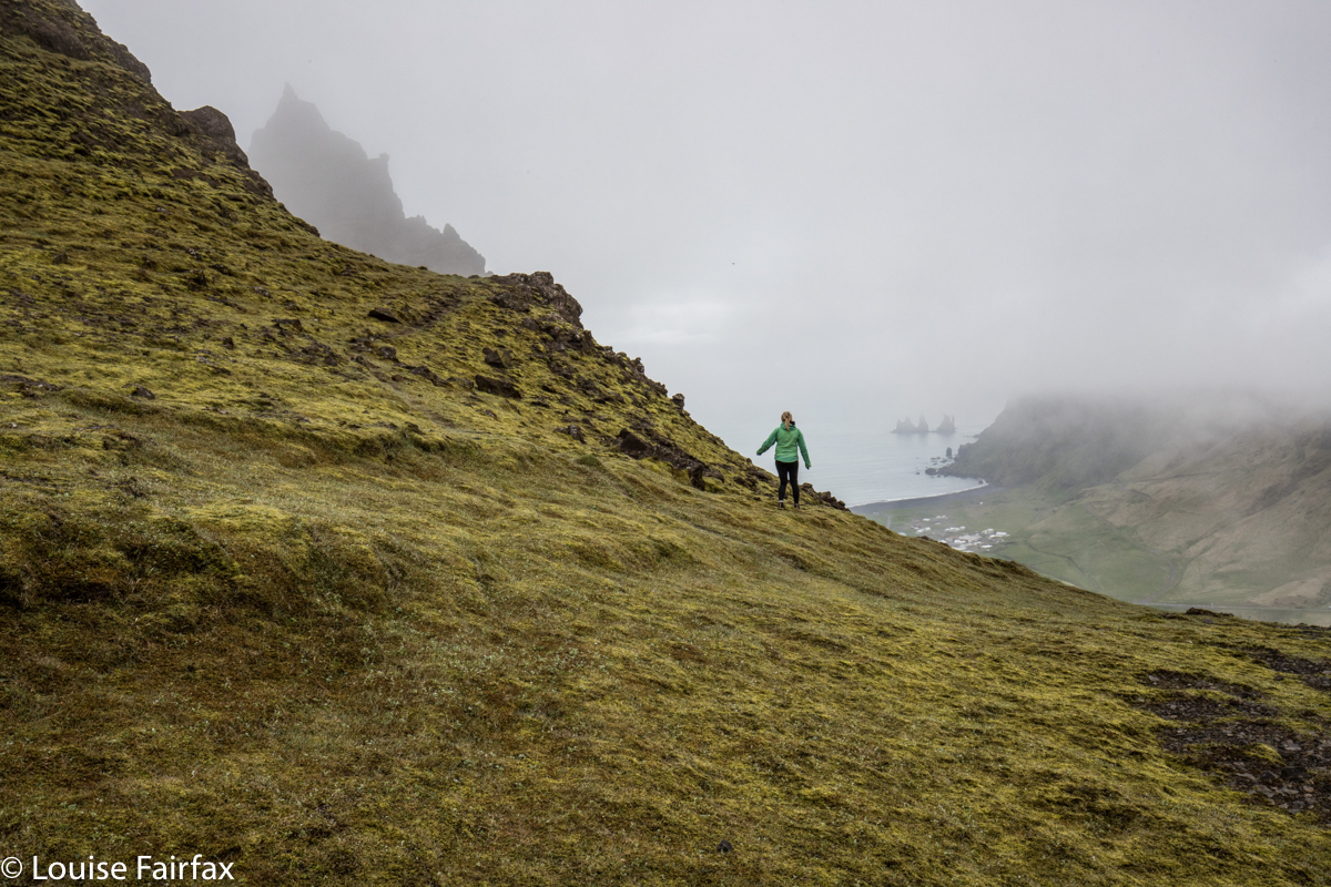
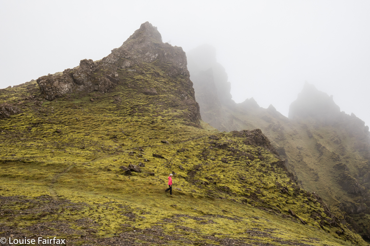
Day 5. Sadly, sadly we bid our farewells after breakfast, and headed for Vik. As neither of us likes sitting in a car all day, we decided that when in Vik, we’d climb the big cliffs off to the left as you approach. They looked so very alluring with their craggy precipices poking into the clouds. Just to check on available information, we went into the Tourist Office in Vik, and were advised to do some pathetic granny stroll around town. We thus, of course, ignored all the information we’d been given, and set out into the unknown, determined to reach the top of whatever it was up there, the name of which emerged to be “Hatta”.  It had glorious cliffs to peer past into the abyss below, massive drops that were not to be accidentally gone over, misty towers of rock hiding in the gloom, and, every now and then, a view, like in the photo above. See those cute little rock stacks in the ocean? They are the massive giants called Reynisdrangar. All big things are tiny relative to something mightier than they are. If only humans could recognise this – especially ones in politics.


Visibility was not exactly good, but I had seen from a map that if we stuck to the ridgeline (carefully avoiding its knife edge), we would eventually arrive at the summit. Hopefully we could recognise it in the white out. If tourist offices sold decent topo maps instead of dispensing the advice to stay at home and wrap oneself in cotton wool, that would actually keep people much safer.


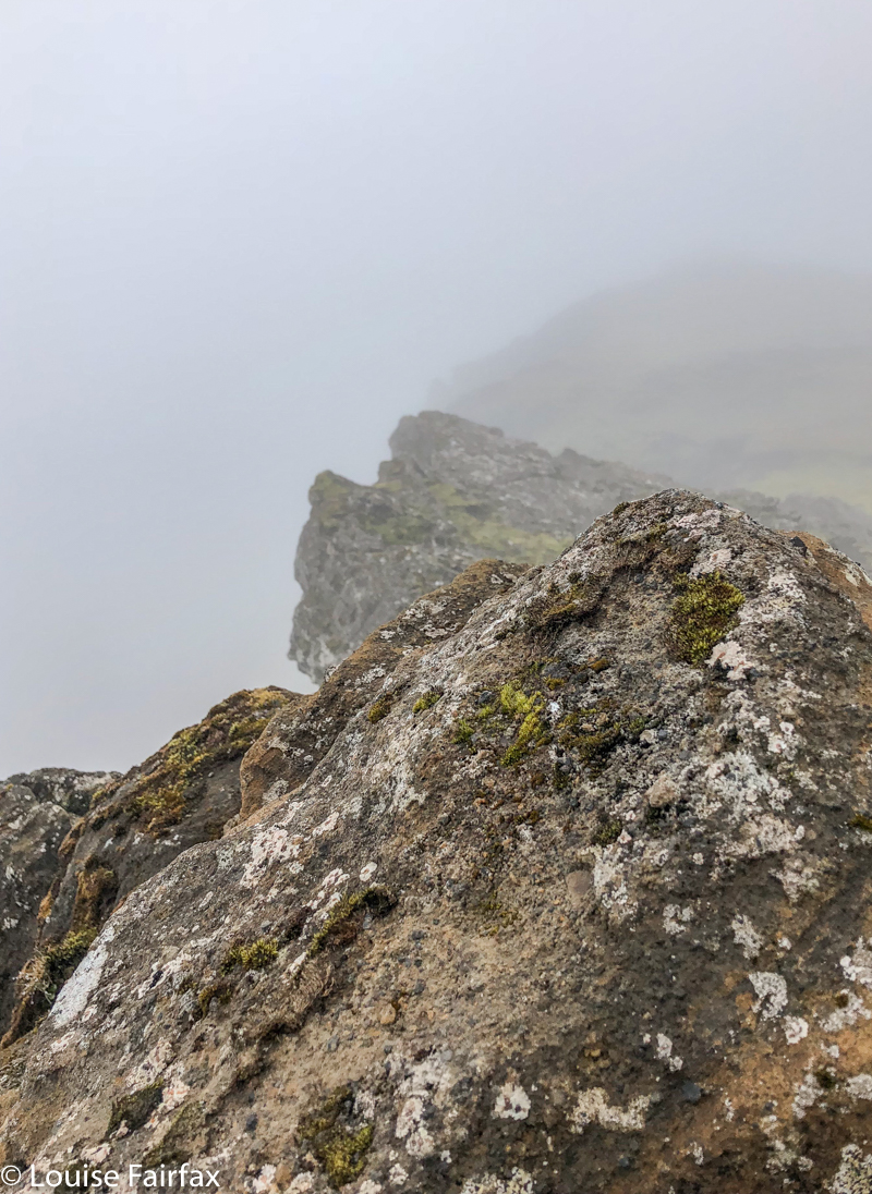
And here is our wonderful summit view. Actually, I’d much prefer this to a vast but murky vista. This one has the appeal of the obscured embedded within.
So, that killed the time until lunchtime.
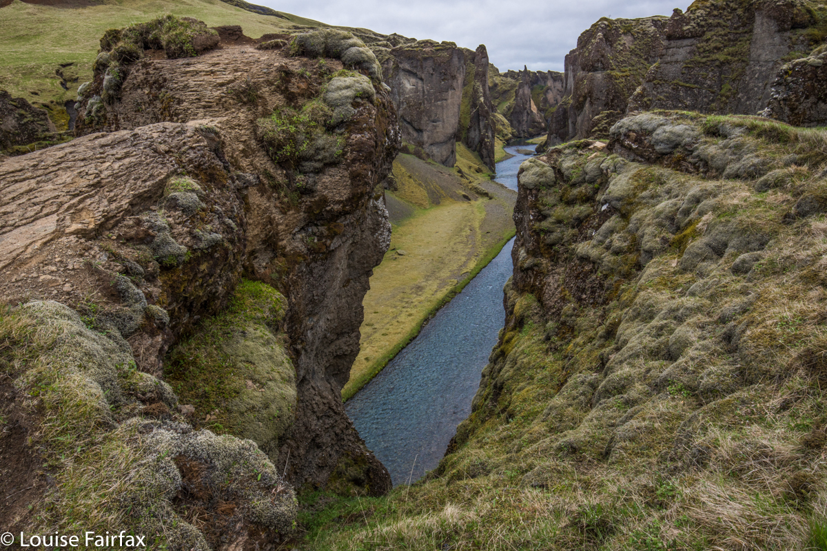
After soup in Vik, we headed off further east, with Timea’s list for the day close to hand. Her next piece of advice was an amazing gorge, Fjadrargljufur, with stunningly blue water flowing way below in a deep green gorge, with a waterfall at the end.


Fjadrargljufur
We had been spoiled up until now, for thus far we had had the privilege of dancing on the abyss to our heart’s content, going to the brink of infinitude, but being allowed to determine for ourselves (and with a strong desire to live in mind) our own level of risk-comfort. Here, all independence and self-direction was removed. This was a tourist site, complete with wide, smooth, tarred trails, railings, keep out signs and a million warnings telling us that if we leap four hundred metres, we will surely die a the end of the flight. It even had a dragon lady at the start to remind you to stay on the trail and other suchlike rules.
We did not enjoy this level of supervision or removal of our autonomy. We walked to the end and back unimpressed, but now I am home and can see my photos, I do have to admit that this place is very beautiful, and that the tourists do need to have somewhere to go. Much better to channel them all into something like this and let the rest of wilderness be wild. And if you are going to have crowds all chatting to each other and skylarking around while they take their selfies, heedless of those around them, then you also need to keep them away from dangerous edges.
I am terrified in the presence of people who seem unaware of their surroundings, as I have been bumped nearly into oblivion by such people on more than one occasion. Better to save cliff edges for solo or near-solo efforts. So, here is a sacrificial pawn serving the tourist industry, conserving the people from their own irresponsibility. Such pawns are necessary.


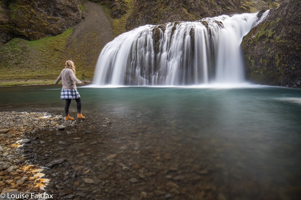
Next marvel on Timea’s list was a turquoise waterfall by the name of Stjornarfoss. Here is Lena, deciding whether or not to take a swim at about 4 degrees.


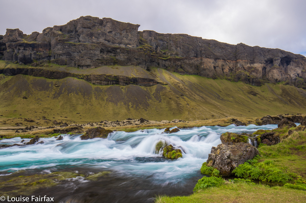
Our next “falls” were not on anybody’s list, and neither were they named. They had little height, but made up for it with massive colour and breadth. We found them utterly charming, so I slammed on the brakes and out we hopped. Now, we get pretty involved once we’ve set up our tripods and thoroughly immerse ourselves in the nature we are capturing. We are at one with it, and tend not to notice extraneous objects, like a farmer wanting to shoot us, an approaching bull with smoke issuing from its nostrils, or a mob of forty tourists who decided that if these two people with tripods were were shooting it, then it must by definition be good. In this instance, it was the third of these that happened. When we “woke up” from our trance of being soaked in beauty, we noticed to our complete amazement the very large number of people who had gathered to shoot this nameless wonder.
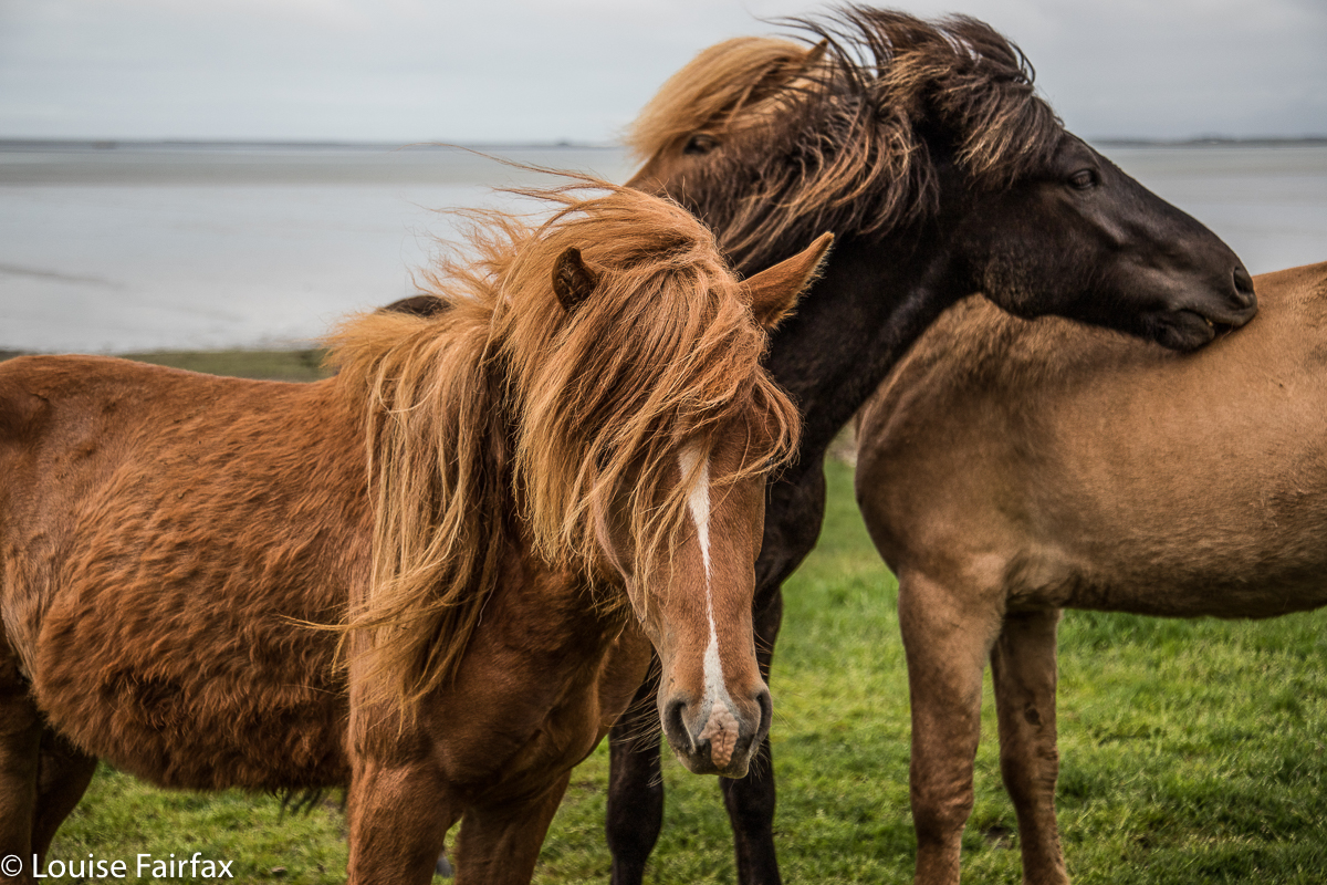
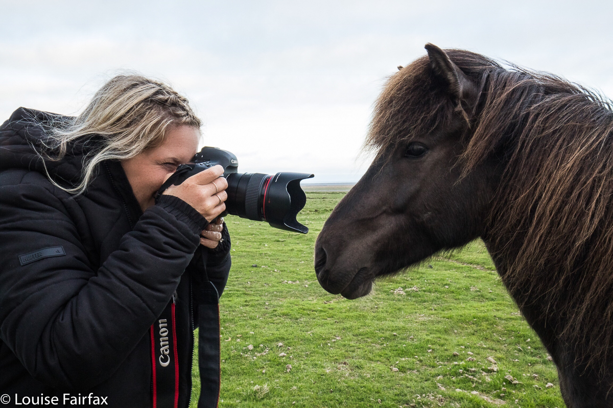
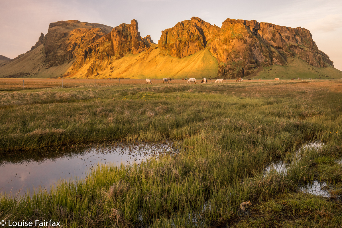
On the way during the remaining drive, we found some more Icelandic horses,


one of whom photo-bombed Lena, who, the horse felt, was discriminating unfairly in the favour of blondes and brunettes, and shamelessly ignoring dark-haired beauties like her.
I was a little tired by the time we arrived at Vagnasstadir, where our Youth Hostel was. I was so tired, I even wanted a bit of a nap before I threw myself at more driving and another long sunset stint. We had no room yet, and I relaxed on the couch waiting for permission to enter. Off I dozed. I needed it.
Maybe it’s good that I was fresh when they showed us the room, or I might have been bad tempered. Instead of the two beds we’d ordered, the room had one tiny bed called a double, but double for sticks only. For a mother and pregnant daughter, booked in for three nights, this was really not what we were expecting or wanting, especially considering the price. The view, however, was wonderful, and Lena wasn’t upset, and I guess I was more concerned that she would be cross than that I would be. If she was happy, so was I , so we made do with this extraordinarily inadequate excuse of a bed in a room that allowed about 30 cms space around its perimeter and laughed our way out of the situation. At least we had a gorgeous view out our big window, and breakfast next day was excellent.


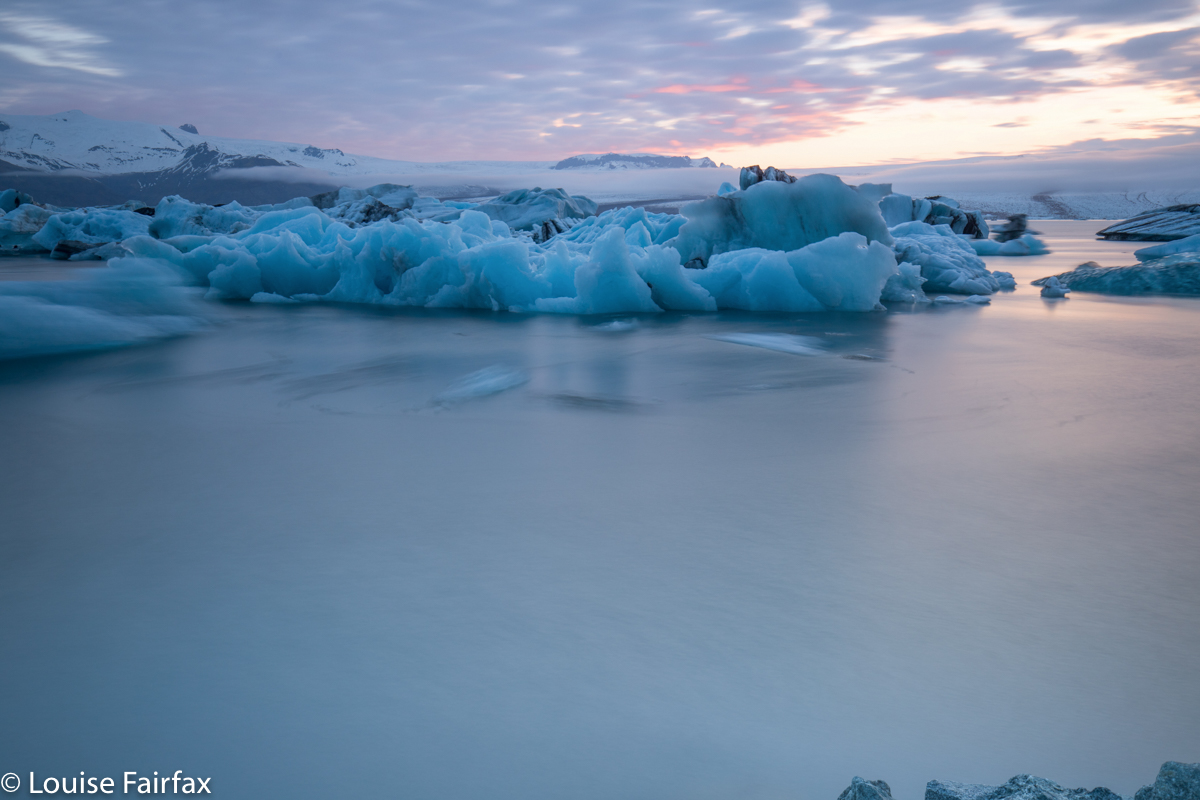
On on we pressed, driving back after this minor setback the 30 odd kilometres to Jokulsarlon to do what I had always so very, very much wanted to do since I saw my first-ever photos of this region: to photograph the ice floes at Jokulsarlon. The first evening was more a learning experience than anything else. I learned that these bergs move, even in a four-second exposure; that they move more if they run across your line rather than towards you; I learned exactly which shutter speeds did it for me so that when I went back on successive evenings, I could do it all better.
Day 6.
This was the first of several days that we devoted to icebergs in one way or another, with short hikes up mountains and visits to waterfalls acting as punctuation marks in the real purpose of the day.


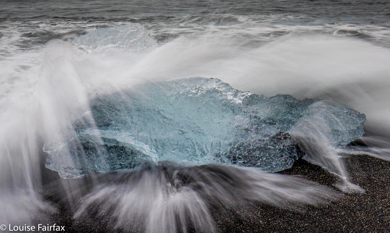
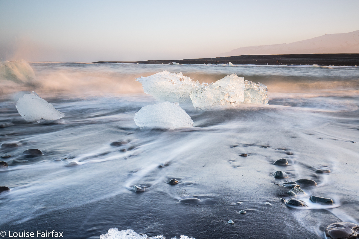
I was impatient to see Breidamerkursandur, or Diamond beach as it is known to those who like to translate everything into English. We had enormous fun playing “What’s the time Mr Wolf” with the waves, and dashing to safety when the waves declared it to be “dinner time”.  It was such a lark, and even served as an interval training session, sprinting away from being monstered by a wave, hand clutching a camera attached to its tripod, giggling of course.

Day 7 began with a visit to a “secret” waterfall shown to us by the waiter at Fjallsarlon who sold us soup the day before. Mostly, however, as with the day before, (and apart from some down time in the afternoon, and some walking to this or that spot of natural beauty) our focus was on ice.


A diversion from ice while waiting for low sun.


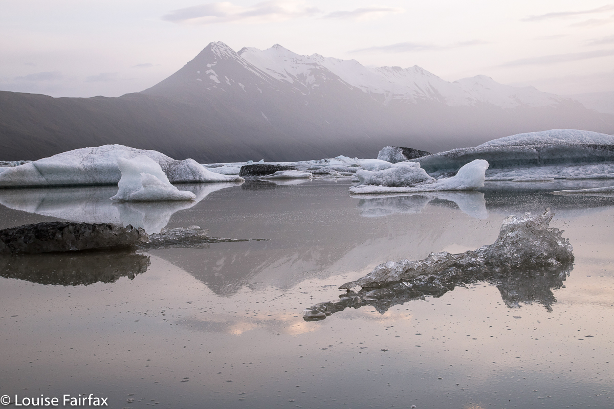
And at last evening came. Jokulsarlon is only one of many lagoons with icebergs, so we enjoyed visiting several of them in these days. We loved the fact that I had designed our trip to involve our spending several days in each location to have opportunities like this.


And at the end of each night’s shooting, we had the half-hour drive (a tad under, in fact) back to Vagnasstadir in the marvellous twilight of the midnight zones. We both adored the midnight tones of Iceland. It was such a pleasure and a privilege to be out and about in the middle of such beauty.
For part 3, the link is
http://www.natureloverswalks.com/iceland-2018-3/ 

ICELAND 2018 1 First four days

Iceland. June 2018.


Iceland. That very name evokes so many emotions. Even before I stepped foot in the place, my mind had been baptised by beautiful images from others, by books that I’d read (like Sagaland and Sealwoman’s Gift – both highly recommended), and by the very name of the island: land of ice – of white, of vast spaces, of wild nature.


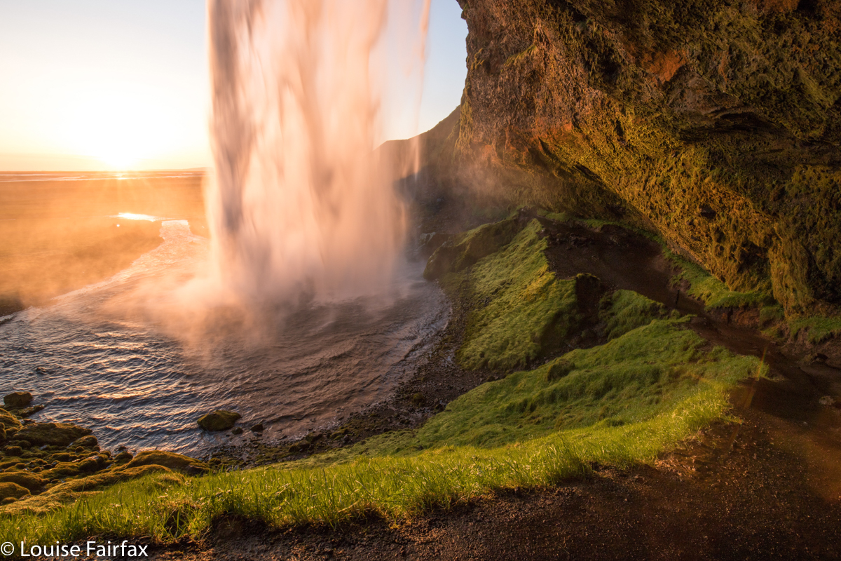
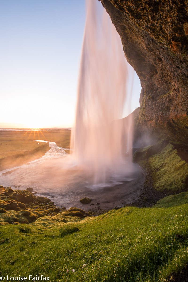
Seljalandsfoss
Iceland and its mystique have called me for years. Of the many reasons why this is so, probably the main ones are
(i) the unspoiled nature of the uncluttered expanses generated by such a severe winter;
(ii) the fact that this particular nature was intertwined in a rich tradition of stories; and
(iii) the marvel that in Iceland, nature has not been “tamed” or “dumbed down” by the bureaucratic mind that wants warning signs on every post, a fence on every cliff, and a risk assessment factor of zero. In Iceland, you are allowed to experience some of the wildness of nature and to delight in it without some government-appointed nanny telling you it’s unsafe.


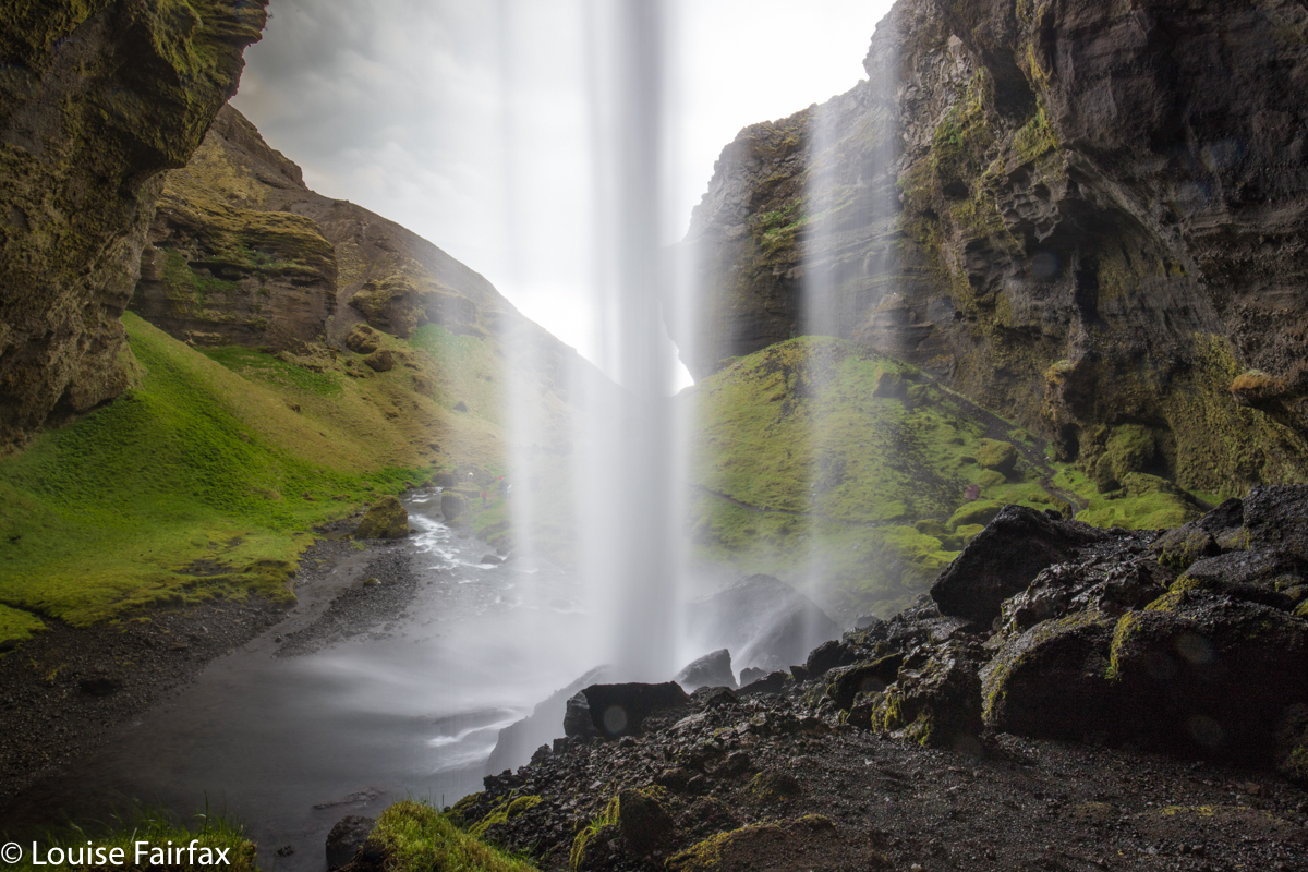
Day 2. Kvernufoss
And at last here I was, eagerly pressed against the plane window with my daughter, Yelena, both of us craning to get a glimpse of this environment that so excited us.
“How vast; how empty”, Lena exclaimed, full of joy at what lay ahead.
“Just look at all that space.”
In Iceland, you can experience infinitude.


Day 2 Reynisfjall. Lena
I had booked our first four nights to be spent on a farm near the famous Skogafoss and Seljalandsfoss, hoping thereby to be able to visit both easily at odd times of day. Four days gave us plenty of time to explore the local area and settle in to a new hemisphere. Meanwhile, our host, Þórarinn, had assured me there were abundant waterfalls, beaches with seals, Icelandic horses, and mountains to climb in the area. Who needed more? Not us.


Reynisfjall. Day 2. Louise playing it safe
After forty-six hours’ travel, we downed some spinach soup and … did we rest? No way. We were far too excited for that. The sun was shining. It was only 9 pm. Let’s go and shoot sunset at Seljalandsfoss, the waterfall that was number one on my list. So, forty-six morphed into forty-seven (half an hour in each direction). We didn’t mind. Only with cameras whose bellies were full of images of pink waterfalls could we at last give in to the needs of mortal bodies, and admit some sleep. Night 1 in Iceland. June 1st.


This rocky playground was only about eighty metres from our bedroom. Fun for a bit of evening sport. 9pm Day 2.  Can you find Lena scaling the rocks?
On Day 2, Timea, Þórarinn’s girlfriend, not only armed us for the day with a brilliant breakfast full of Icelandic treats, but also, aware of our interests in nature and photography, had a little list of nearby secret and other waterfalls we might like to visit. The first of these was Kvernufoss.


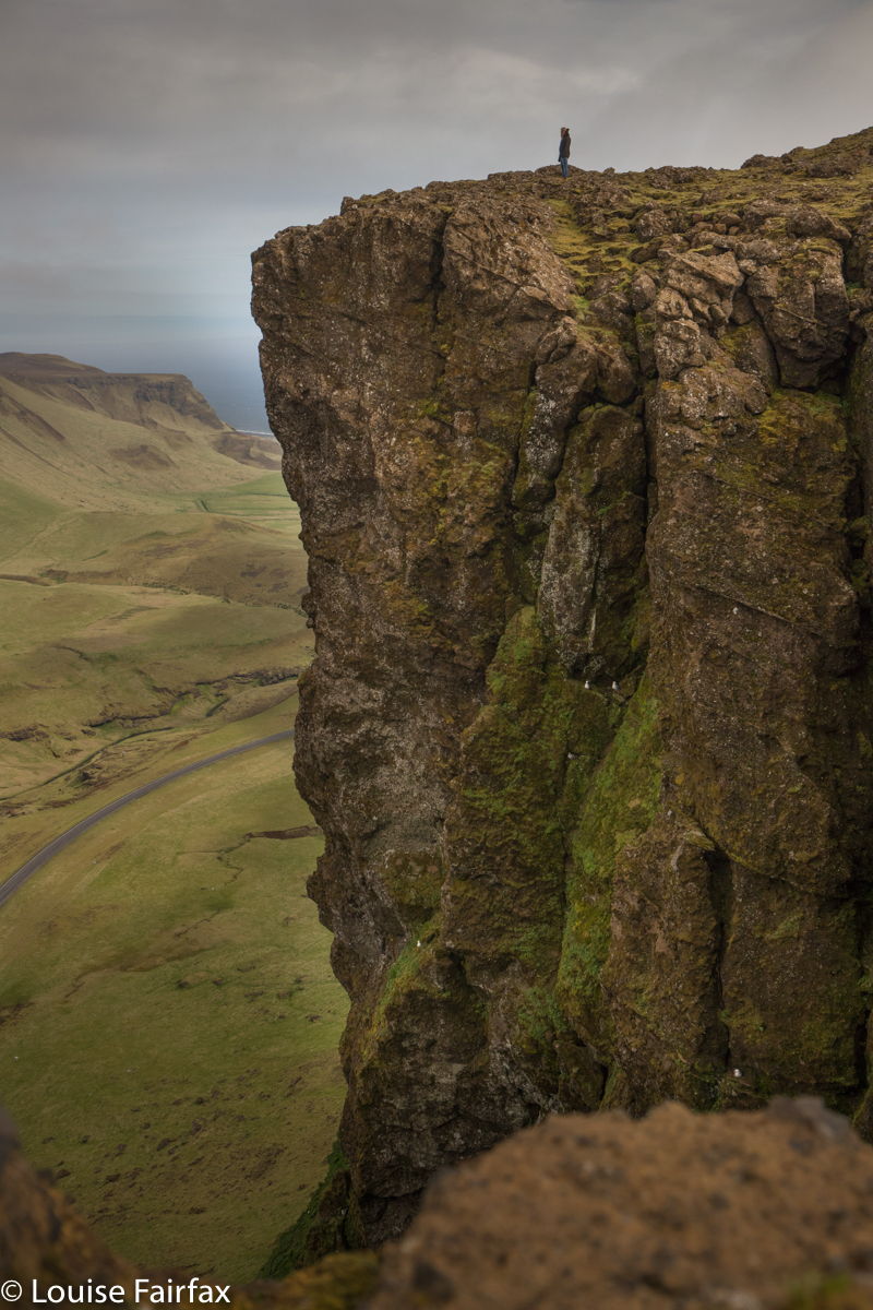
I am not sure how or why item number two on our itinerary took place, but I got it into my head that I wanted to climb the huge cliffs on the Reynisfjall outside Vik. There is an easy route up this massif, but did I want that? Of course not. A lady later said she’d never heard of anyone going up the way we went, but I saw a possible gap and was itching to see if it was viable. It was. We were greeted up the top by a wind of astonishing ferocity, which meant that the normal cliff-standing Louise took to lying down, while Lena instructed me on safety. I was mindful of the fact that when you have recently lost your father, losing your mother in the same year might be somewhat traumatic – even when the mother is me – so obliged more than might normally be my want.
The evening was cloudy and dull as well as windy. We delighted in Skogafoss, but also vowed to come back later to do it justice. We had our evening soup in the popular eating place near the “car park”, very content with all we’d seen, played a bit more in the rocks near our base at Drangshlid, and turned in when we absolutely had to.


That’s our accommodate, way down there.
Day 3
. When we arrived at our farm on day one, the first thing I did was look up at the cliffs that towered above; I was instantly challenged to find a way up. I kept looking, but was not confident that possibilities would turn into actualities … or whether they would be dead ends on closer inspection. Timea said that Þórarinn knew a way. Maybe he was waiting a bit to see if we were worthy of a route (maybe neither of us looks like a promising climber). Anyway, on day 3 at breakfast, she explained to me how to get up. You beauty. Of course this jumped the queue on any other possibilities. Off we set to reach the cliff tops.
Now they were very alluring indeed (although Lena didn’t quite like the sharp slopes dropping many hundreds of metres in a possible life-ending slippery slide; she hasn’t been married for half a year yet, so thought continued life with her husband might be a very nice thing), but, hey, behind these cliffs lay an even more cozening mountain that surely HAD to be climbed. Lena agreed. She is the best ever daughter. Up we went to the summit cairn, with views not only over our farm, but way, way below to the winzy Skogafoss and the Laugavegur trail beside the Skoga River. The mighty waterfall was a tiny bit of white from up there.


Gluggafoss
After lunch and a tiny bit of down time, off we set to find the collection of waterfalls Timea had given us: Gluggafoss / Merkjarfoss, Irarfoss and Gljufrabui. We hit the first two too early, but you can’t be everywhere at sundown, and we thought we’d sacrifice the good lighting just to at least see these falls. Irarfoss was a good hike but the sun was way too high to be bothered photographing. I came back to discover Lena in the middle of dangerous antics: her precious (and very expensive) hat had blown off her head and over a cliff and she, having admonished me in the art of safety, was busy risking  life and limb for a hat. Now it was my turn to say “No”.


But she wanted her hat. I said we’d return after dinner, when I’d thought of a solution. In the end, I got a four metre stick, leant right over the edge and used the stick the tip the hat the rest of the way down the cliff – way down to a waiting Yelena in the river at the bottom. Was she ever happy to see her hat! It was banned from all further hikes. I found the sheep in the paddock at the end of the hat saga to be far more interesting than Irarfoss, buried deep below me in heavy shade. 

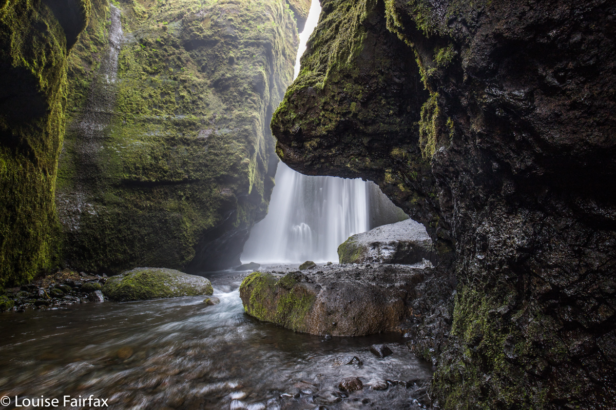
The highlight of the day was visiting Gljufrabui. We’d thought we were late enough so that all self-respecting tourists would have gone home for dinner, but they were still there taking photos of themselves with a hint of waterfall in the background, totally oblivious of the fact that they’d waltzed into the frame of our long exposure and ruined it. It was very wet work in that cave, and hard to get a shot that didn’t have droplets on the lens, but we persevered, and managed. Lena was very glad I’d told her to bring gumboots on this trip. We made our first tog friends of the trip this evening.


The evening light as we wended our way home was beautiful. Those shapely lumps there had been tiny anthills from our mountain that morning. We were absolutely loving our Iceland experience.

Day 4. Our last full day here. Already we were in mourning. We were having such fun at the farm, and had become quite spoiled by Timea’s home-baked bread and delicious food for breakfast. We began our day with a several-hour hike up the Skoga River along the Laugavegur. We had a truly gorgeous time, but I ran out of memory card, and was told I could buy an additional one in Vik, so that rather decided the activities for the afternoon: we would go to Vik and photograph the Reynisdrangar from both west and eastern sides. We were both rather put off by the hordes of tourists in this spot. Timea explained they’re all desperate to see the place where other tourists have died. Fascinating. There was no pretty sunset, and it just didn’t do it for me, marvellous though the knowledge of death in this spot might be.


Me, contemplating death by drowning like the other tourists. I am more likely to die of starvation because I’m not strong enough to open the jars of food on my bench. This is a serious concern.

Day 5. We were not finished with the Skoga River (seeing’s my memory card had run out the day before), so we set our alarms and climbed back up there to put in a few hours before breakfast. I wanted mist, and got it, so was very happy.


Hestavaðsfoss

Even with a diminutive Louise in the foreground, you still don’t get the full scale of this thing. All that white around it is the spray it tosses up when so much water is involved in such a huge drop.
That brings us to breakfast on day 5. It is time to leave and transfer our base to Vagnasstadir, 28kms beyond the next big photographic goal: Jokulsarlon and Breidamerkursandur, the beach strewn with iceberg babies that look like sparkling diamonds.
This blog is quite long enough, so I will use the changing of base as a bookend for this episode. The next one will be about the journey to the Jokul and the time we had there: days 5-8.
For the next episode, proceed to
http://www.natureloverswalks.com/iceland-2018-2/