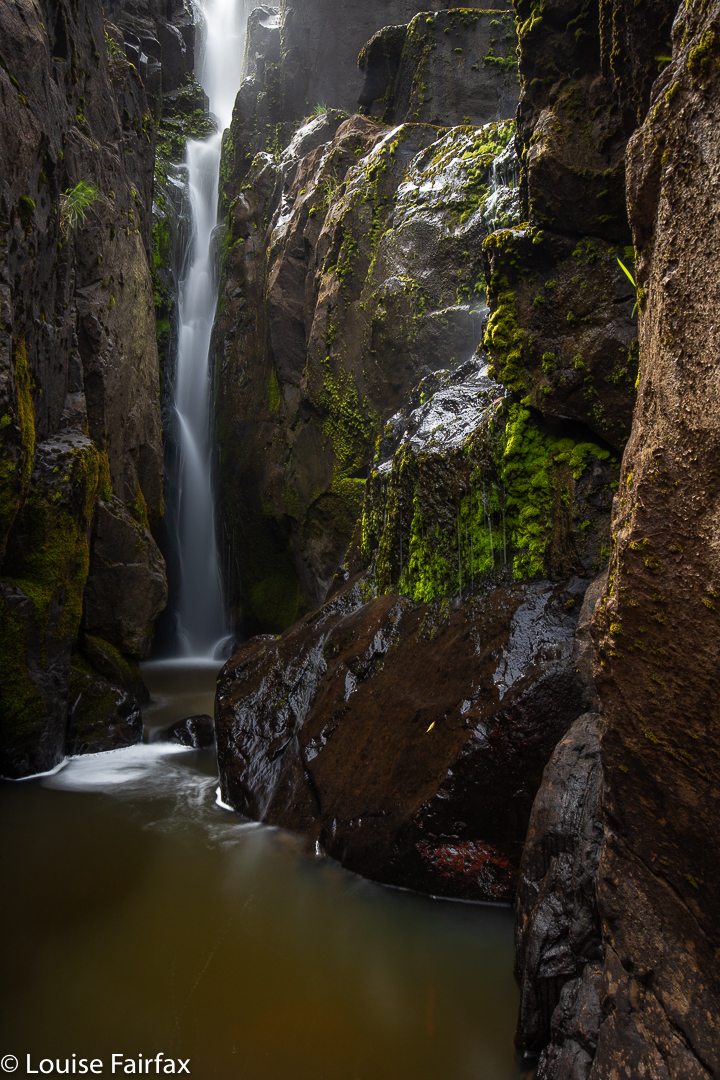
Kenmere Falls lie just to the north of Victoria Valley Falls, so if you visit Victoria Valley Falls (see blog
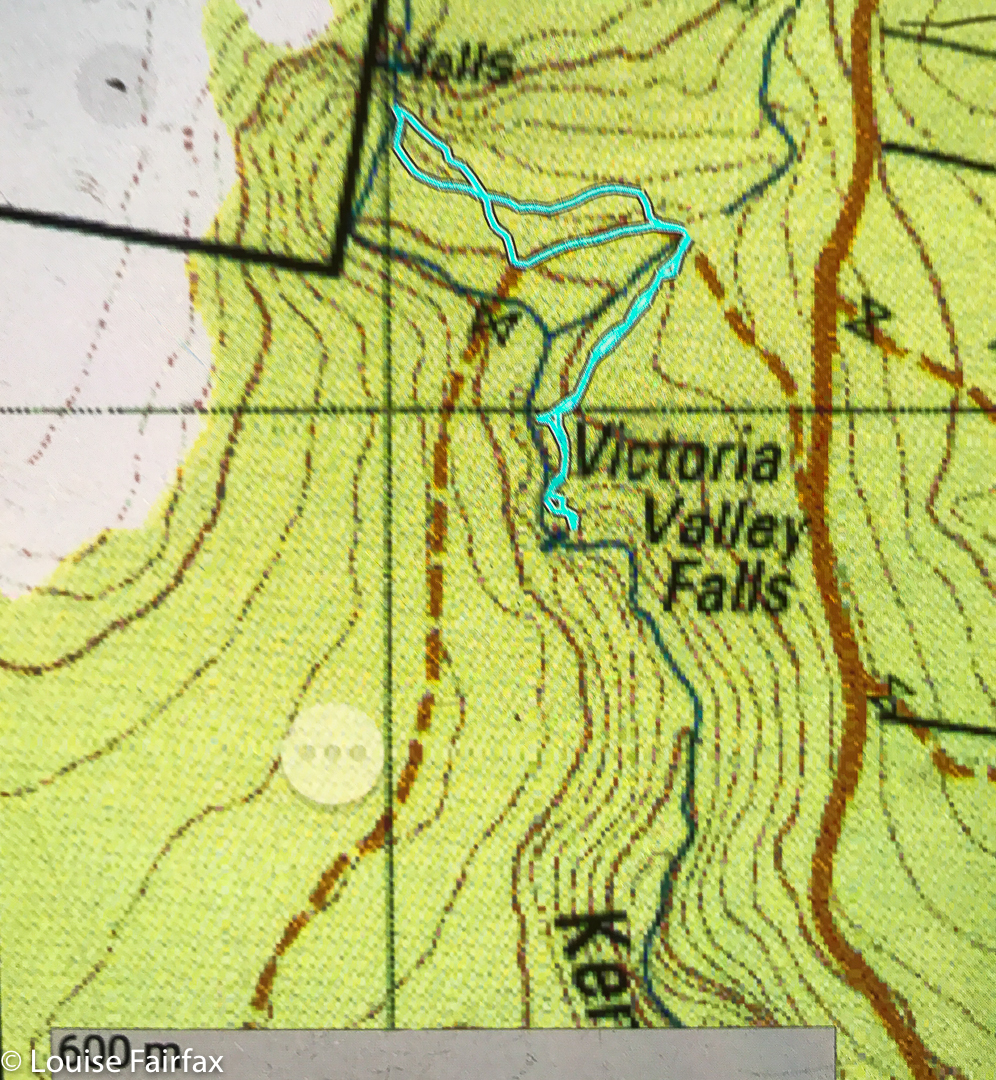
http://www.natureloverswalks.com/victoria-valley-falls/) near Osterley, and IF you are happy bushbashing and reading a map, then you can add this little gem on Kenmere Creek to your agenda for the day. I used the same parking area for both falls. There is no track, and the dry bush has a lot of twigs that are intent on giving you a poke as you go by, so you need to be fine with that sort of defensive and unwelcoming behaviour. It doesn’t last long. The falls themselves felt like a very special place, and I stayed there for quite along while, just enjoying being, and imbibing all they had to offer. I made it into a circular route by going pretty straight on the way there, but following the creek down until it hit the road on the way back. The return was longer, but had less bush to negotiate, and was a couple of minutes faster.
The nearest coffee I could find on the way home that looked inviting was in Hamilton, at Jackson’s Emporium, which was quaint. When they offered me instant, I switched to tea, where I got weak T2 Chai, but at least it had leaves. One spoon of leaves cost me $5; the little biscuit cost me $4, but it was gluten free ginger, and tasty. I guess they need high prices to compensate for lack of customers. Hamilton itself is very cute.
Victoria Valley Falls
Victoria Valley Falls are very near a place on the map called Victoria Valley, in the middle of nowhere, somewhat near Osterley (which is also in the middle of nowhere). So much is Victoria Valley in the middle of nowhere, that I am not sure which house constituted the mark on the map; at least Google Maps will take you there. There were no shops or post office, pubs or public buildings, … or maybe I blinked at the wrong moment. Osterley (north of Ouse) was “there”. Insignificant in the general scheme of things though Victoria Valley may be, I nonetheless did not take it kindly when ‘Google maps’ told me on my first attempt that I need a fifteen-hour journey across the Big Waters to reach it. I eventually forced it to be a tiny bit sensible, and got a version that quoted 2 hrs and 02 minutes from Launceston. Problem 1 solved.
Problem 2 is that Victoria Valley is kind of out on a limb, which I guess is in tandem with being in the middle of nowhere. It’s a jolly long drive for very little reward whichever way you look at things, and very difficult to combine with anything interesting. Hm. Why do I have to be so curious, always wanting to see falls that are just a name on a map? At least there is another waterfall, unnamed, on Kenmore Ck, just to the north of Victoria Valley Falls, so I can add that to the day’s agenda. I decided I wasn’t going to get much exercise, so went running before I set out. Good move!!
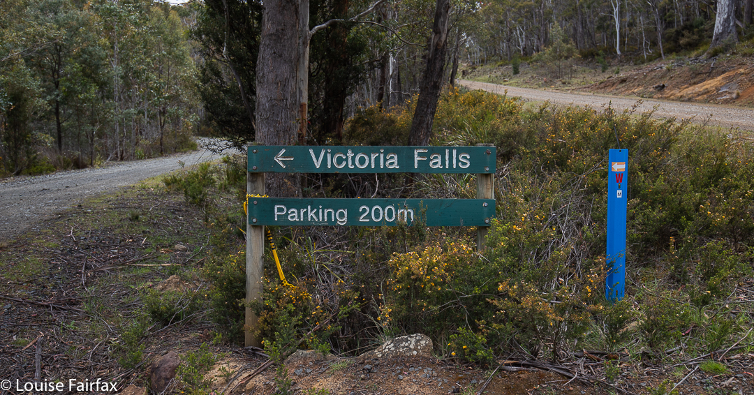
Waddamana was possibly the ugliest place I have ever seen on this entire planet, but once past it (heading south), the road got narrow, the ground less barren and greenery started growing, so I started to enjoy it. If you are coming from the south, your trip is MUCH prettier!! By the time I reached the road intersection just north of the falls, and turned onto Victoria Valley Road, I was enjoying the view out the window. I drove down that road until I reached the sign below (only truly visible for people coming from the south. If coming from the north, you get its rear end).
Oh Joy. And in 200 ms, I found this:
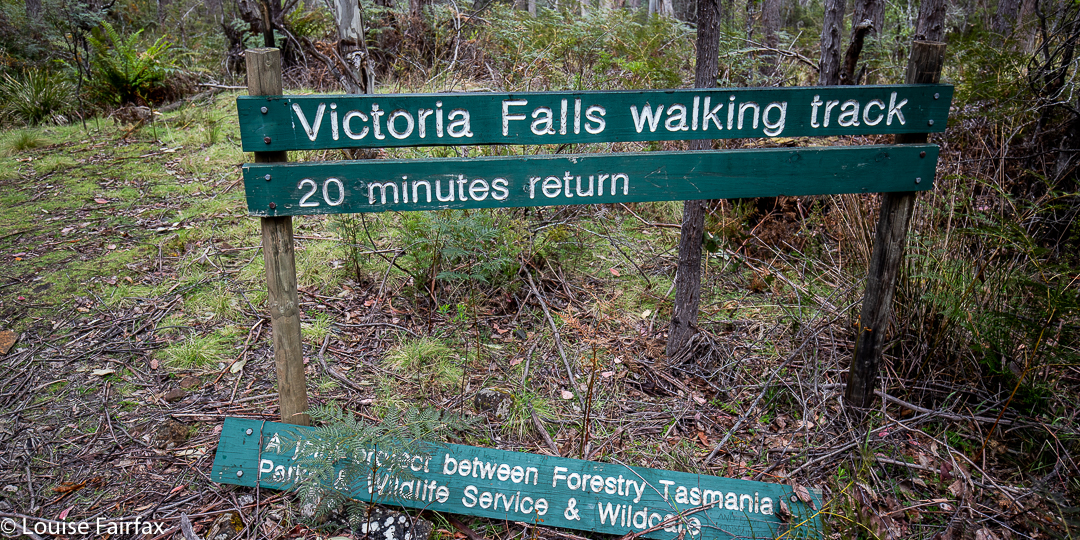
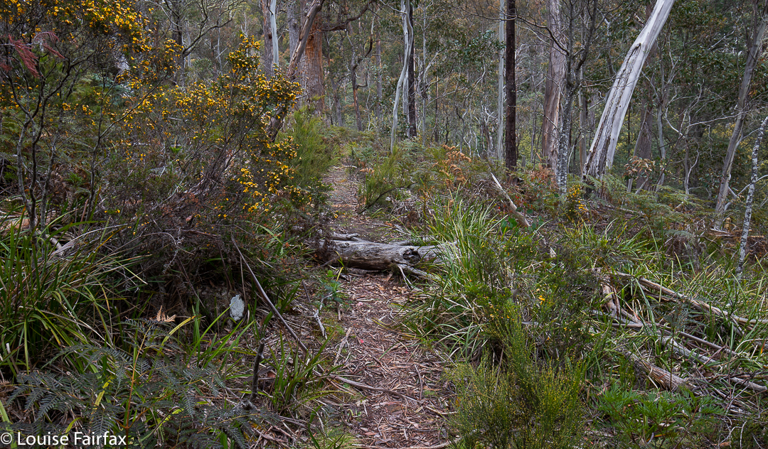
I was off, on a path that looked like this:
And the falls that I found, you have seen above. It was a lovely little walk – although only five minutes in each direction – and could be combined with something at Lake St Clair if you got an earlier start than I did. I combined it with going to nearby Kenmere Falls (see my blog: http://www.natureloverswalks.com/kenmere-falls/
and a recce to Comma Falls (more another day).

