Today I was invited to join friends on a waterfall hunting spree, chasing falls that were not on the map. Adrian had already tested out the reality of these falls; Caedence and I were to visit them for the first time. It was drizzling lightly. In fact, it had been raining most of the week.
I was expecting a very wet forest, and my expectations were unfortunately confirmed. I also suspected the waterfalls might have more water than is ideal for good photography, but I could always go back if conditions weren’t right, and meanwhile, I’d have seen new waterfalls and have had a fun day with friends in nature.
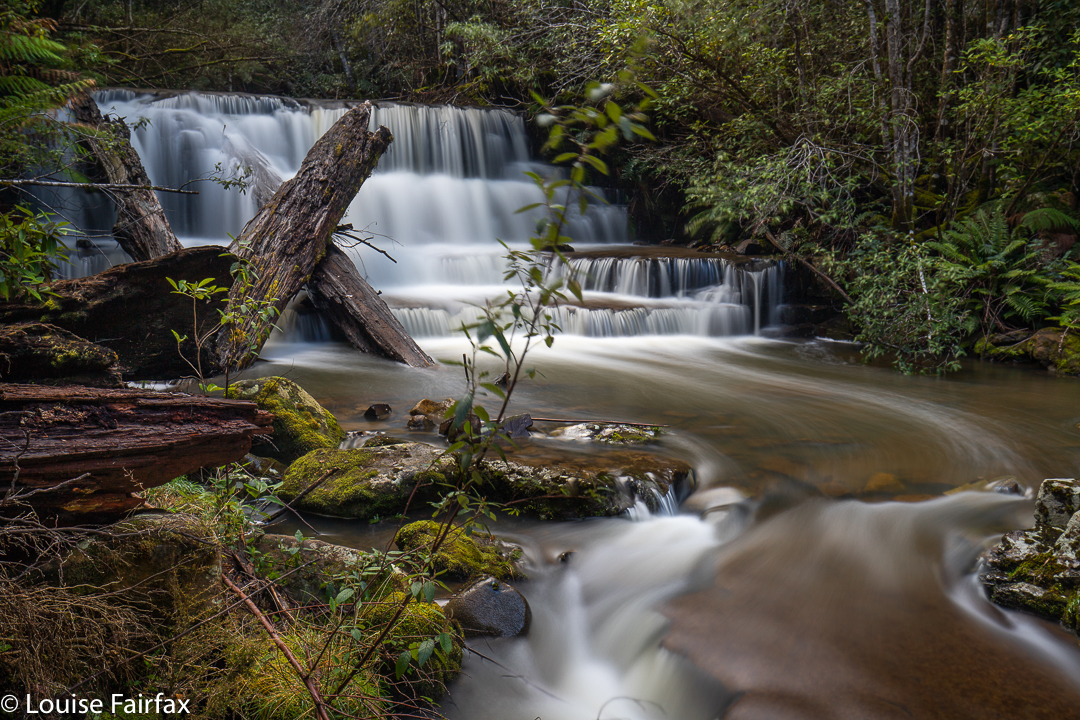
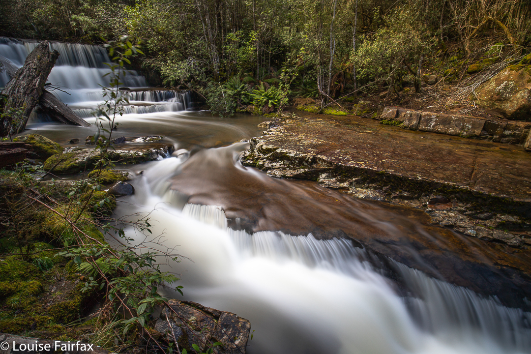
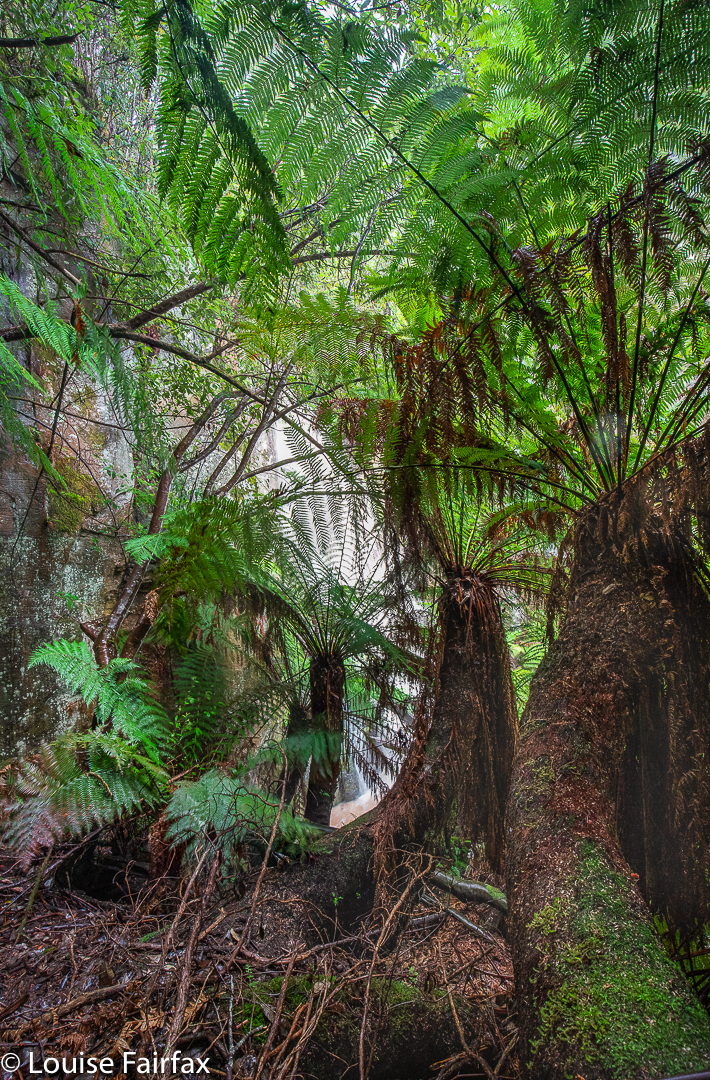
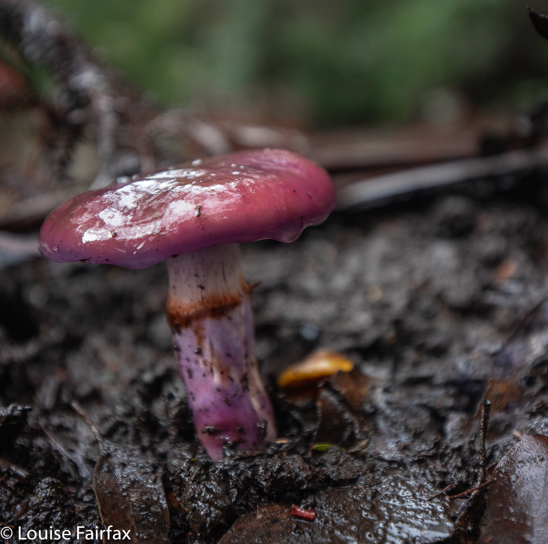
Our first set of waterfalls was in the Lachlan area, on a creek called Ice Brook, which has its beginnings high on the slopes of Mt Charles on the Wellington Range. The land there is very, very steep. The vegetation is a lush, vivid green with spongy moss, lichen, fern trees and, at this time of the year, fungi in abundance.
We parked at the start of Jefferys Track and, after a short while, dived nose first down the precipitous slope. The forest was pretty thick, so it wasn’t an entirely easy task to get to where we wanted to be, but we managed. Soon enough we could hear an ominous roar.
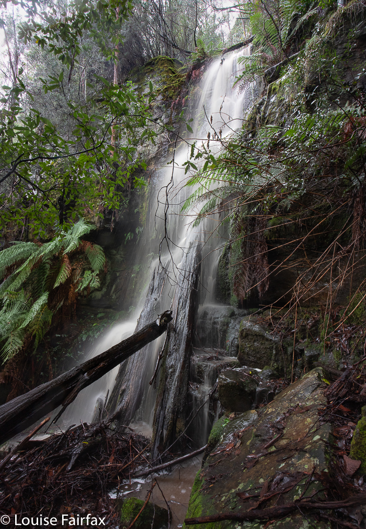
Why ominous? We are, after all, only discussing a waterfall. Hm, well, the fact is that the roar indicated that the object of our quest would be all but ‘unphotographable’. It was stunning; it was dramatic; but it did not yield itself willingly to the three keen photographers who had come for a visit. There was an enormous amount of spray, and the drop and quantity and angle created a massive wind that blew the foreground every which way. The lens was misty in a nanosecond. I basically gave up, vowing to myself to return when the flow wasn’t quite so overpowering.
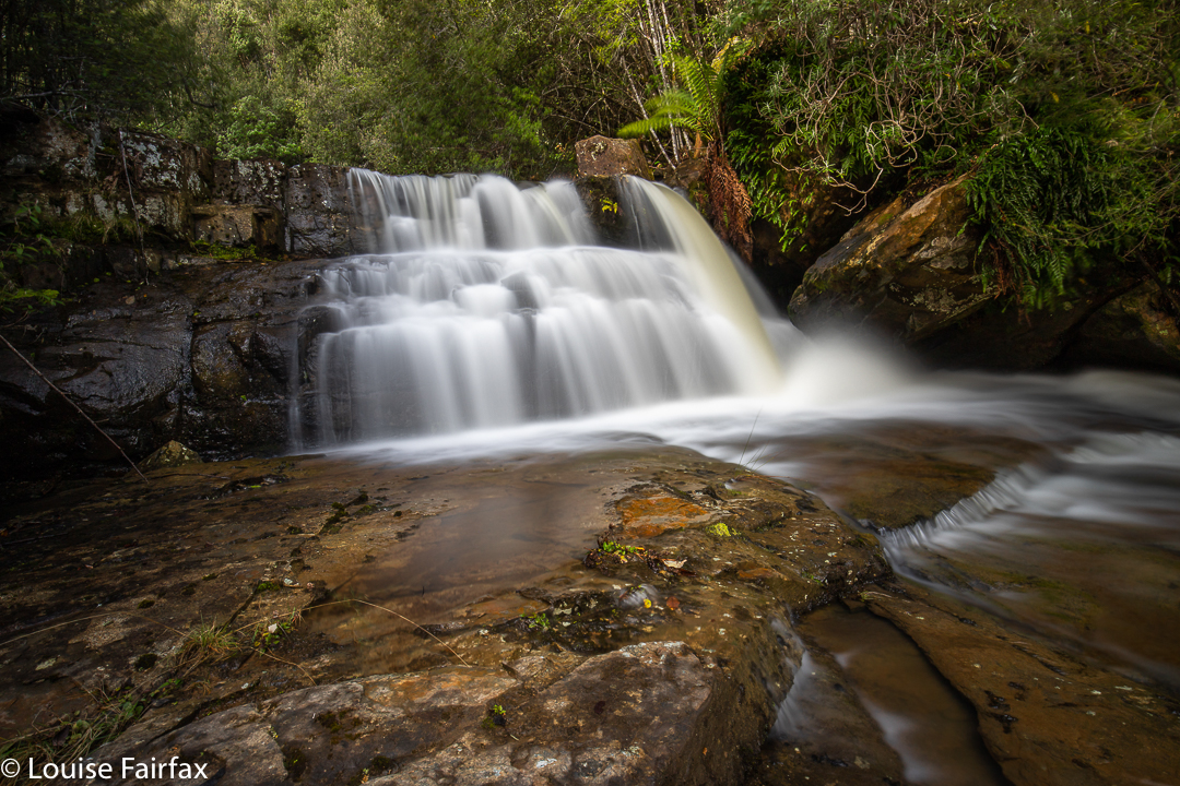
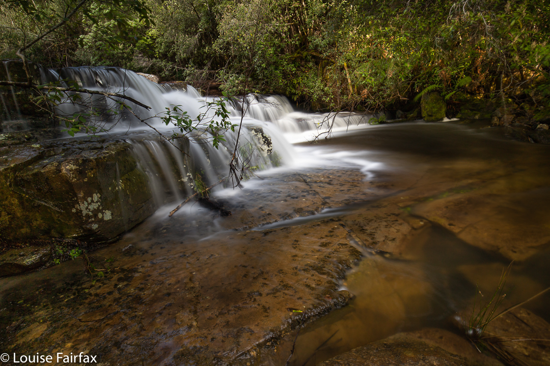
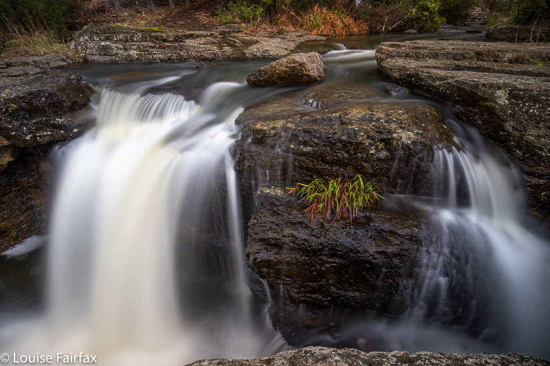
Adrian, who had been there before, reckoned the brook was so thickly vegetated that it was easier to climb back up and then descend away from the brook itself, returning to it at the last minute. This was a great plan, as it meant we also discovered Ice Trib Falls and Ice Trib Gorge Falls. The latter name is because Caedence was excited by the appearance of a gorge from above, and especially excited when the tributary flowed into the gorge, and fell out as a waterfall on the lower side. Although we could now hear and see Bowl Falls (the one we had come for), we were diverted across to explore and photograph the Gorge Falls. I’m afraid I can’t offer you a shot of this one. The spray was formidable, and the wind was blowing all the ferns all over the place. For me, it was just a place to enjoy. I will return. Adrian has kindly given me a record shot from his iPhone so I at least have something to show for my presence.
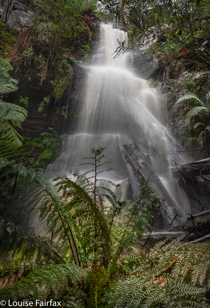
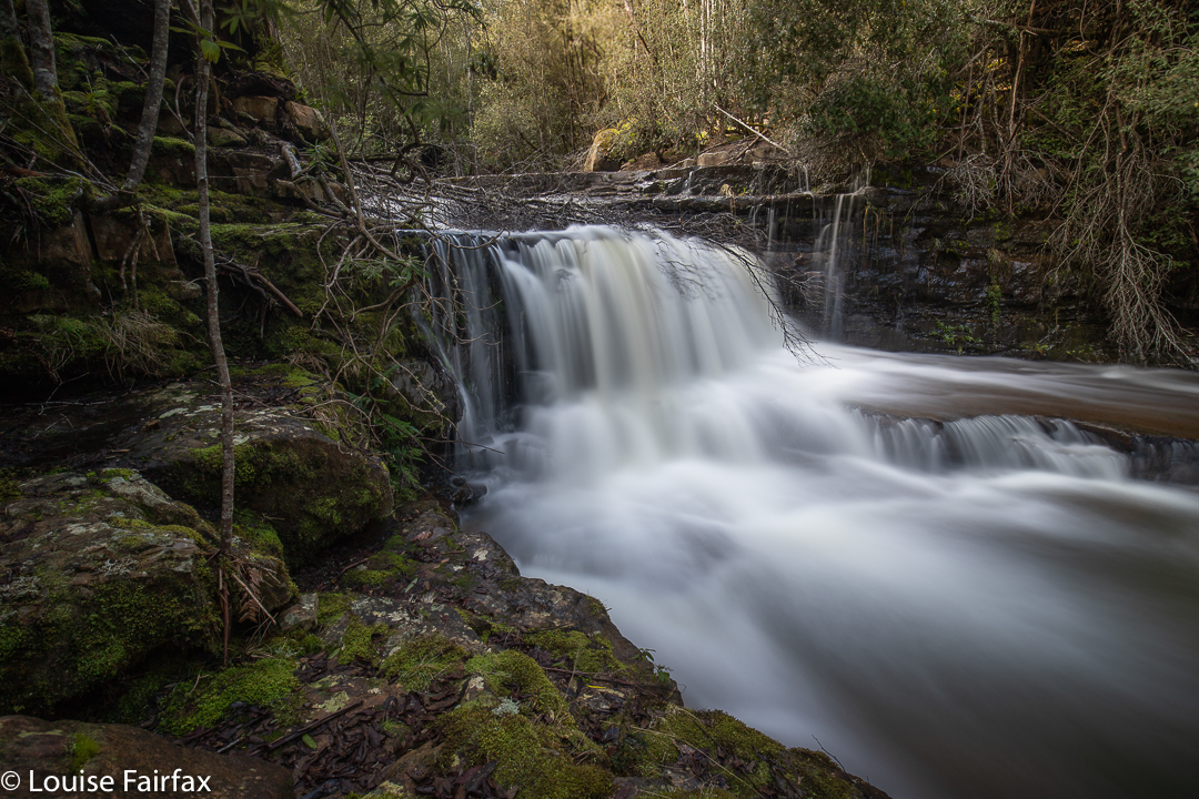
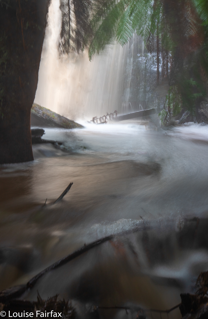
This business of not photographing what I’d come to see was setting a trend. Now we turned the corner to Bowl Falls and were met with another mass of spray in the context of a mighty wind. The falls were also dramatic and wonderful, but there was no way of avoiding the spray that I could see, so I took the odd little shot included here, hiding behind a fern tree and peering at the mass of falling water from my sheltered hideout. I had brought an umbrella with me to help protect my lens, but it was no match for the force of the spray. It is fun to just stand there and feel, hear and see the power of nature.
Well, yes. That shot is a tease. When I return, I’ll post a better one.
Now we just had to climb up the steep slope and get back to the car. It had been so very precipitous and slippery I anticipated difficulty, but it was very easy, and all over quickly, which is good, as I had worked up a considerable appetite, and now it was time for a late morning tea at the Church Cafe at New Norfolk, which is a great place if you haven’t tried it (or if you have).
Filled with homemade blueberry and apple tart, plus an excellent cappuccino, we would then set out for stage two of our adventure, in the East Styx area, exploring an unnamed creek issuing from the slopes of Mt Styx. I will give it a separate blog to make it easier for people to find.
http://www.natureloverswalks.com/styx-falls/