Narrawa Creek Falls 2018 Apr
Today I had a total waterfall spree, just going with the flow (ha ha) and visiting the next falls that my eyes caught on the map. I had no internet connection, being in the middle of nowhere, so no information. For each one (apart from my revisit to Phillips Falls), it was a case of park the car where it seemed reasonable, and try to get there. I am pleased to report success in each case. (The other four in the collection, which will get their own blogs, are: Cethana Falls, Hullabaloo Falls, Hullabaloo Upper, and Hogg Creek Falls).
I was actually heading for Cradle Mountain, but got so waylaid that I never even got near. My first stop was to revisit Phillips Falls near the Mt Claude saddle, as it had not been flowing last time I was there, and I had hopes that, after yesterday’s rain, there might be something to photograph this time. There was, so I have done another Phillips Falls blog. See
www,natureloverswalks.com/phillips-falls-2/
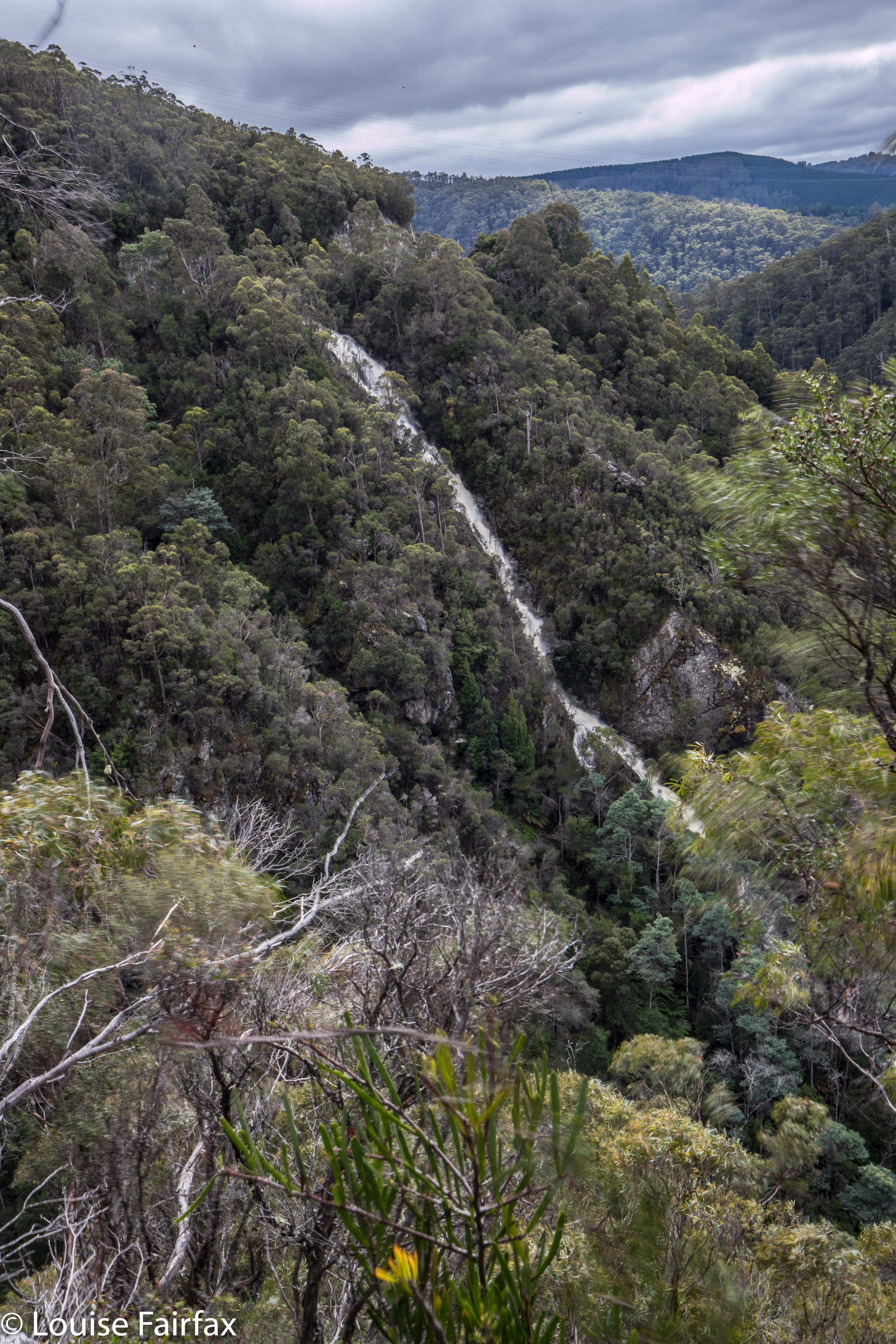 Narrawa Creek Falls pumping it out.
Second on my list, once I rejoined Cethana Road and began to climb after the bridge below the dam wall at the bottom, was the still unfortunately unspectacular Cethana Falls at the second hairpin bend on the climb. (Separate, very short blog with a map in case you need it – see www.natureloverswalks.com/cethana-falls/). And now came the challenge. Narrawa Creek Gorge. On inspecting the map, I saw a dirt road issuing from one of the hairpins that you could follow that went sort of nearby. I sought it out. It had a huge, no-arguments-will-be-entertained fence that, well, I could have climbed, but I decided they meant business, so resisted and had another map stare. OK. Let’s try from above, which would involve a fairly whopping height loss (to be regained on the homeward journey, but, hey, I’ve got all day and I enjoy exercise , so why not?).
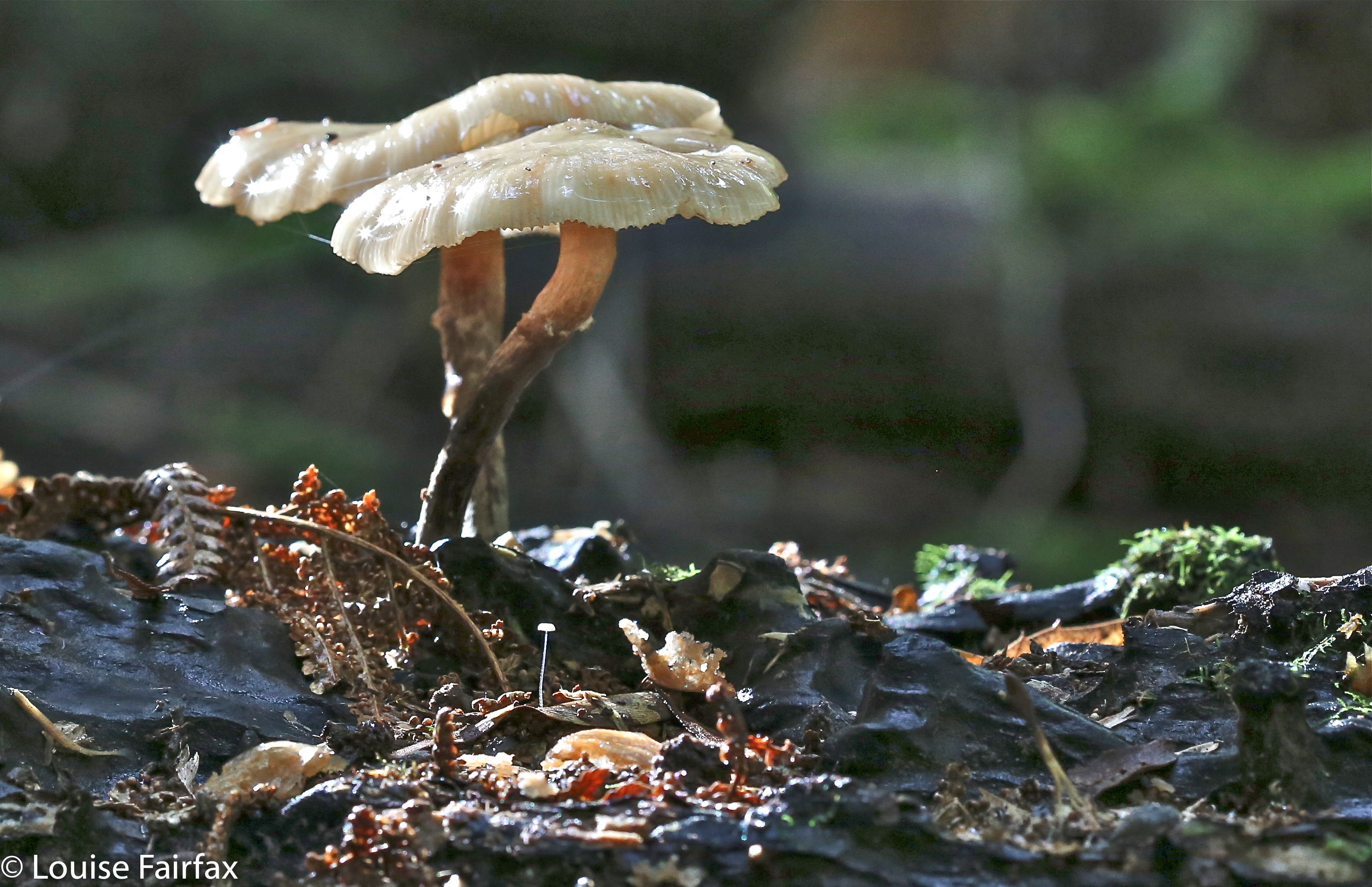 Armillaria novaezelandiae
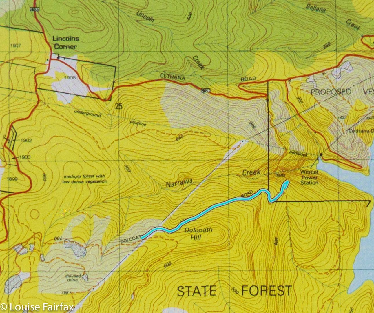
I exited the main, sealed Cradle Road on the dirt road that leads to Lemonthyme Lodge, and parked my car along it where a track leads down the hill, as per the map below. Would this one have a fence or a keep out sign? No. Excellent. Narrawa, here I come. Down, down, down I dropped on a route that is only for the enthusiastic. It was so steep that my boots had trouble not slipping on occasion. What I was on was a former dirt road, but there were no signs at all of recent (or even non-recent) usage. It was weathered into a state of definite disrepair that would challenge even a quad bike. It was totally fine for walking. Fungi as well as curiosity kept me highly motivated. At my chosen moment, I deserted this and went bush in quest of my falls, fearing all along after last weekend’s failed attempt at Cashs that I would just meet with cliffs and buttresses that hid me from my goal. As I got nearer, I could hear its mighty roar, so wondered: if you hear it, can that count as a bag? I knew the answer was “No”. Wow, though, it was sure pumping.
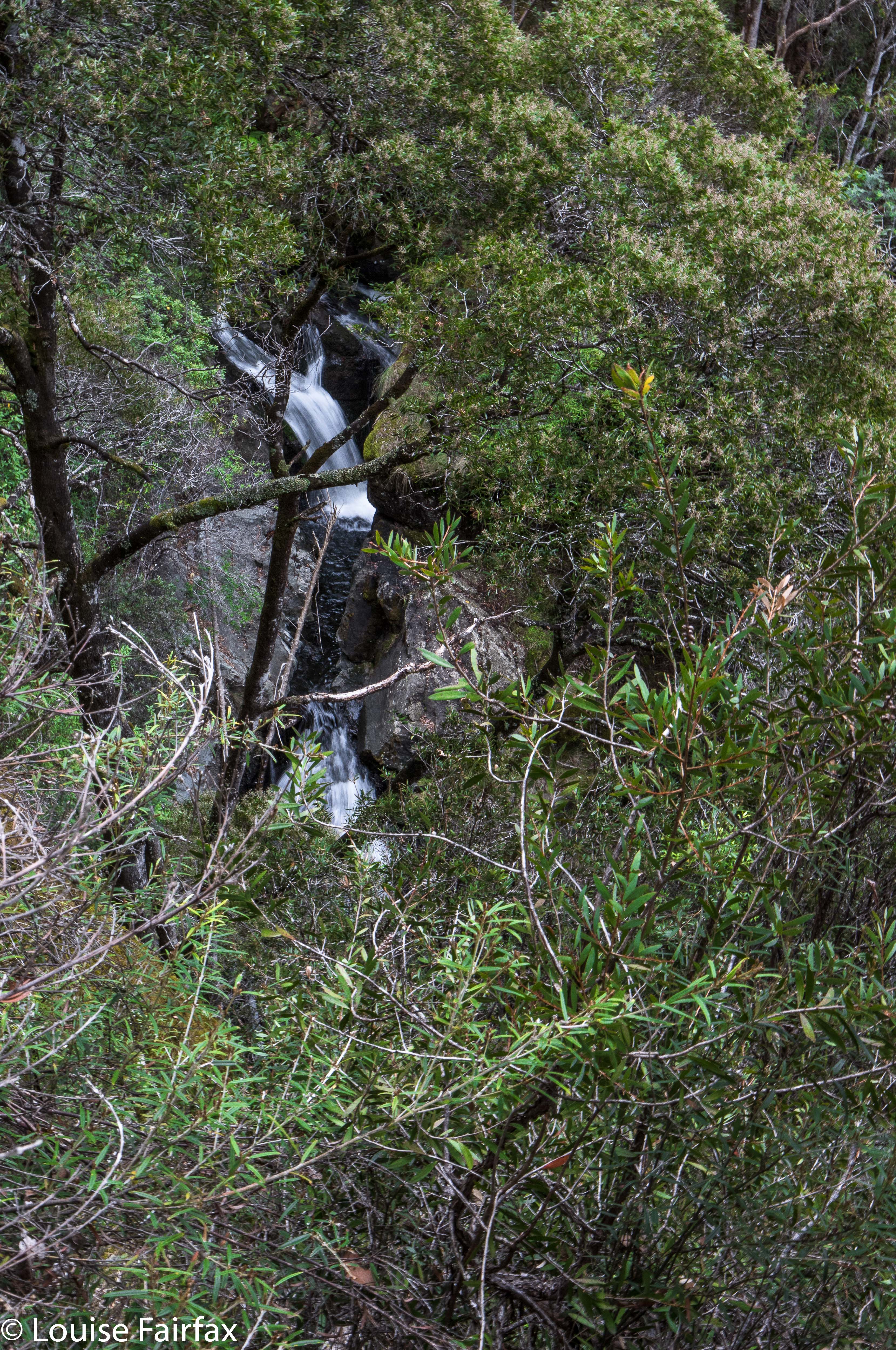
 And, was I ever excited when I got my first glimpse. wow, what a mighty wallop of water to go with the noise. It was momentous. I perched on a somewhat precarious ledge to photograph my prize before returning, very satisfied to the car. I decided that that effort deserved lunch, so had a picnic in the bush right there.
Just as I was leaving, and consulting my map to sort out what I wanted to do next, a little piece of writing caught my eye: it said “Hullabaloo Falls”. It wasn’t far away – just down the road, near Lemonthyme Lodge. It would be stupid to ignore being this close, so off I set. For continuation of this story, you will need to progress to www.natureloverswalks.com/hullabaloo-falls/.
 Hiding shyly out of obscurity: Hullabaloo Falls
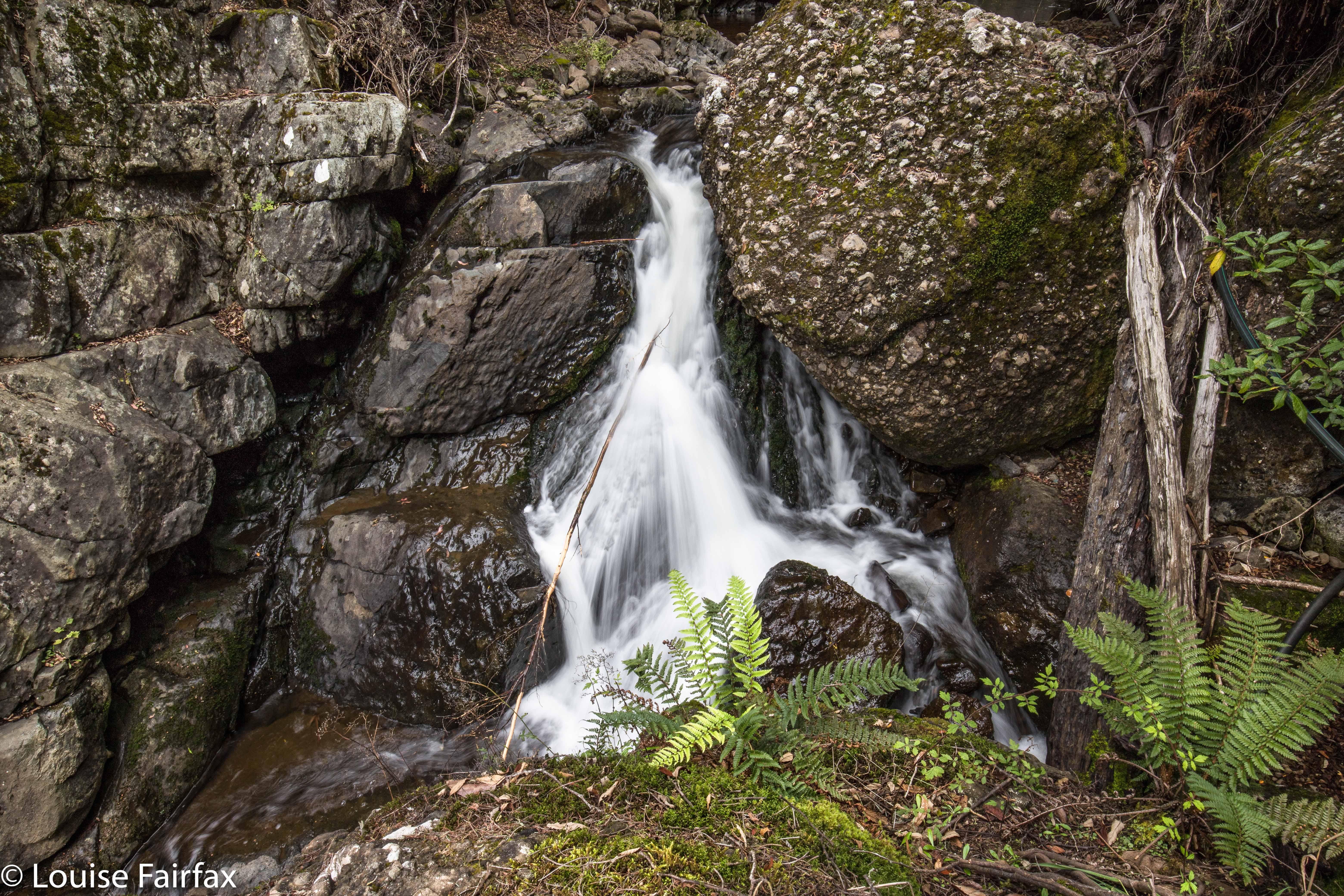 Here are the “Upper Hullabaloo Falls” (unnamed on the map, but marked by a blue line as existing). They are actually nicer.


