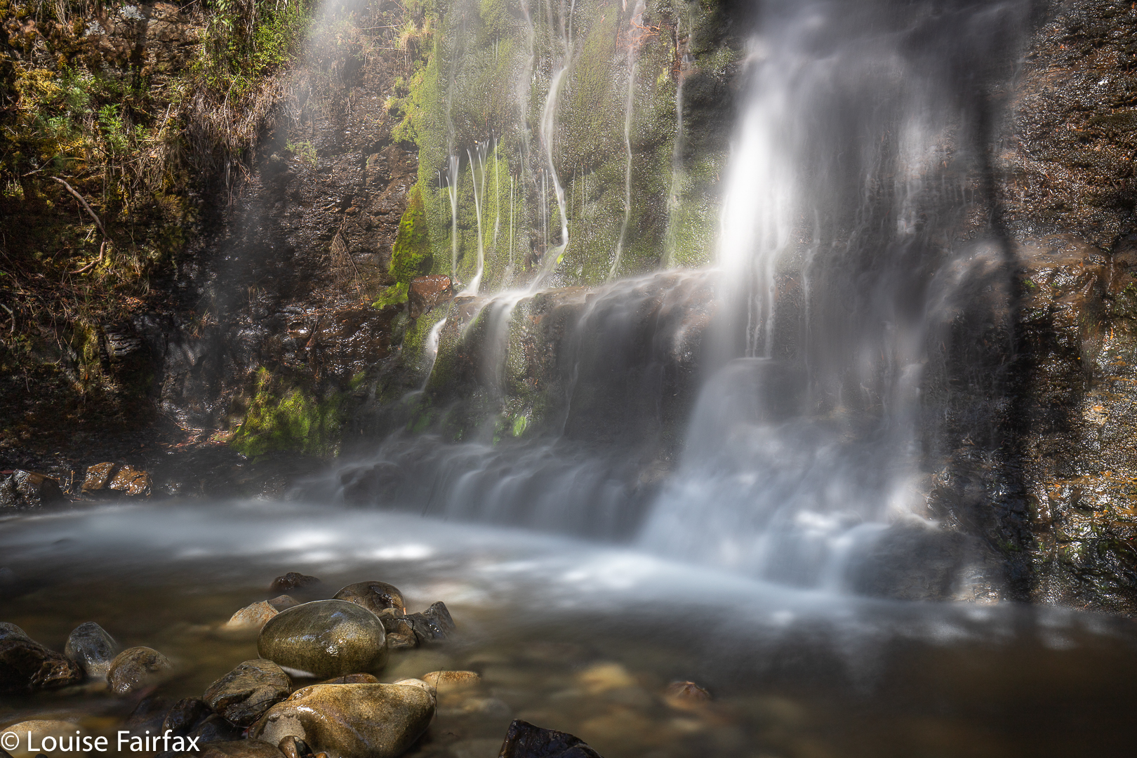
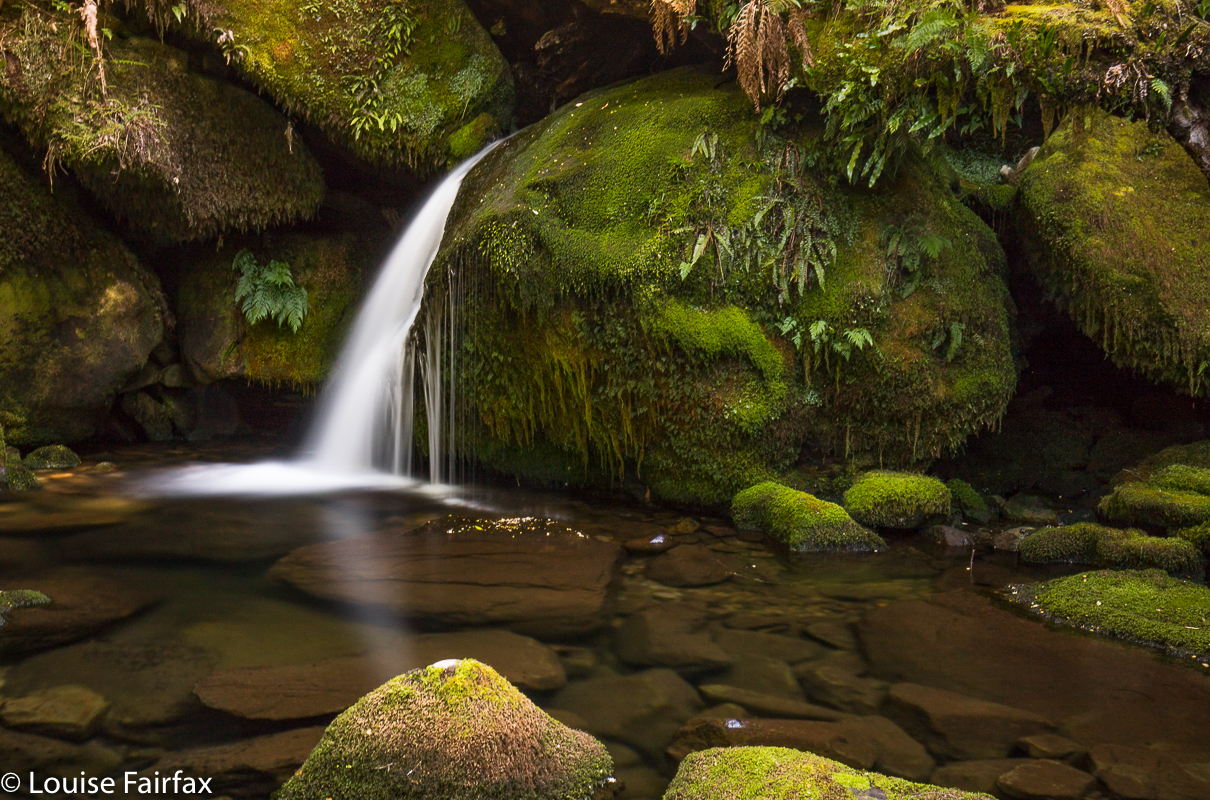
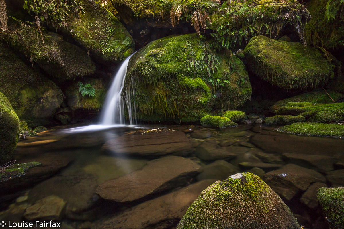
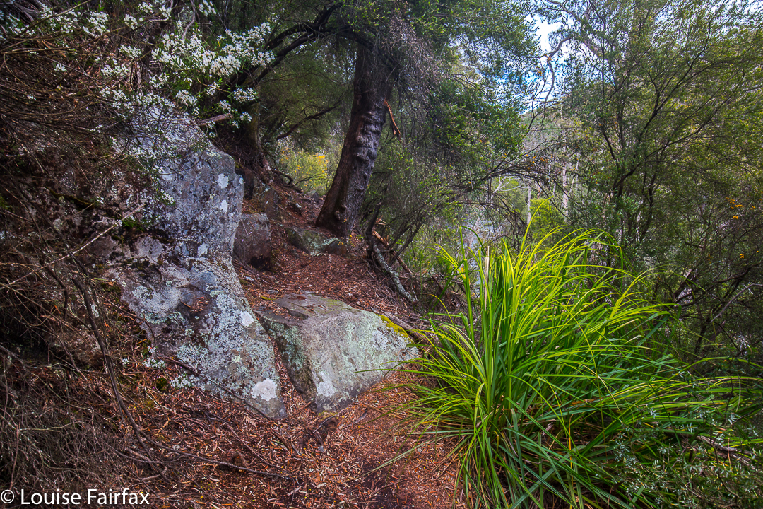
Old House Creek Falls 2020 Mar

The last time I visited Old House Creek, I approached from the base, and found the driving part to be more than nerve wracking.* So, this time, wanting a revisit to take in the extra falls I’d been alerted to by a few friends, I tried coming in from the top, via good old Maggs Spur 17. Great decision. I used it until it crossed Old House Creek, and then parked, electing not to attempt to drive down the road that descends on the southern side of the creek. Second smart move of the day. Going well so far.
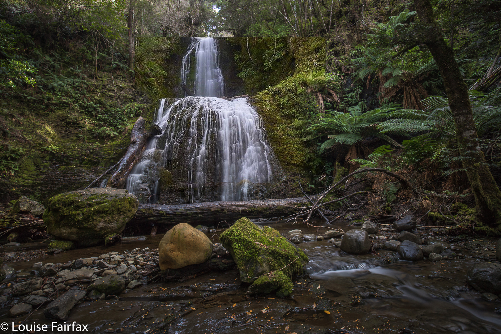
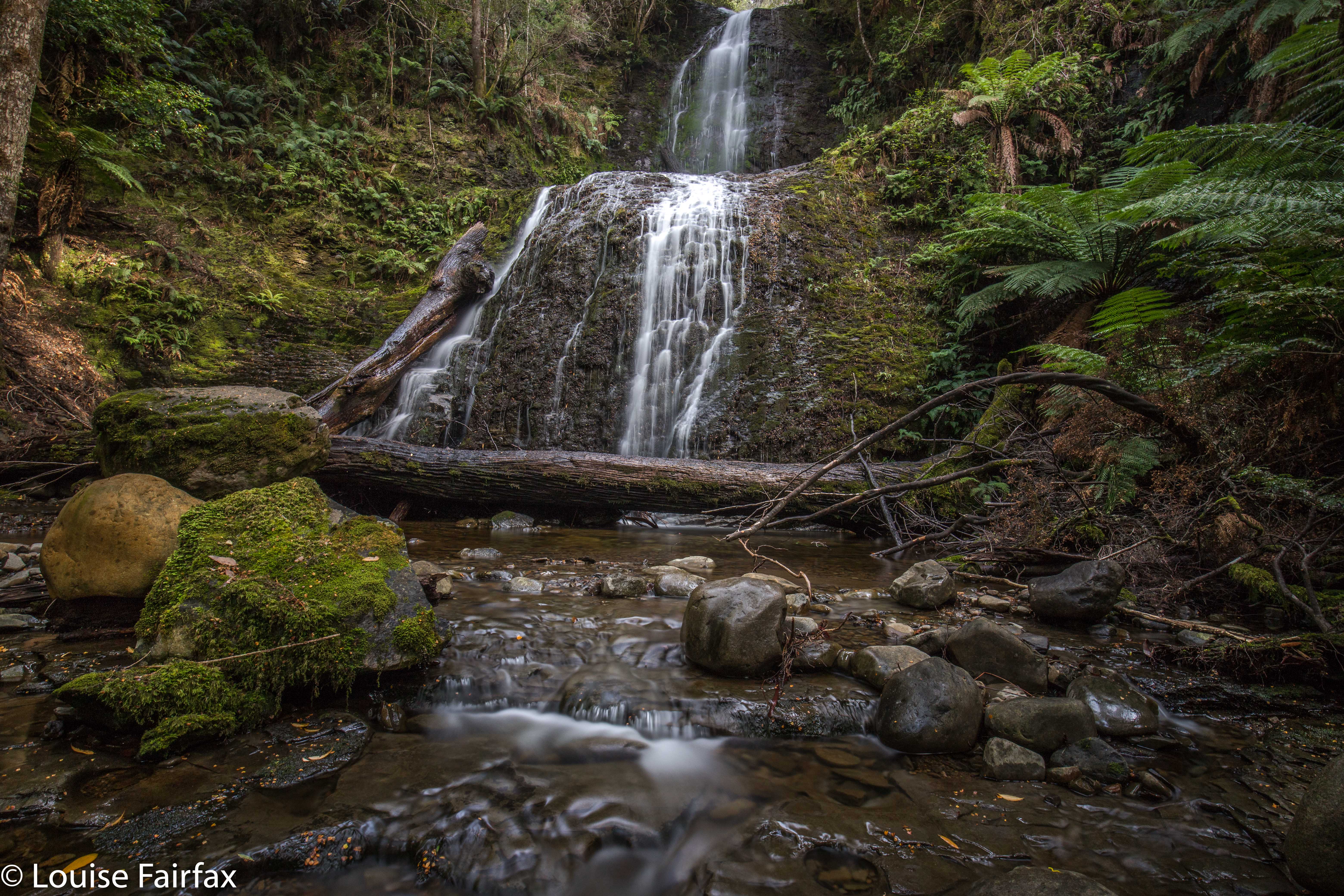
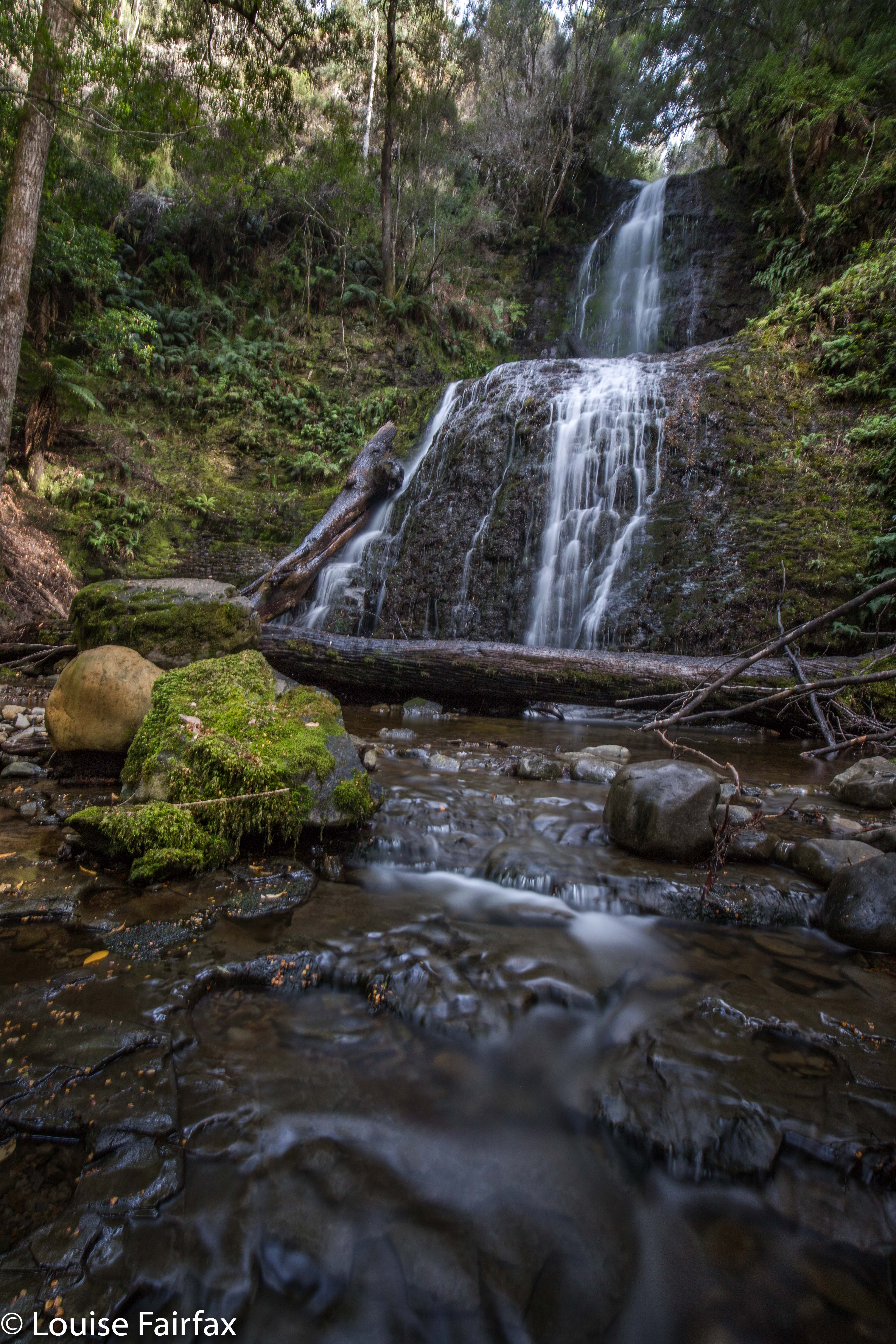
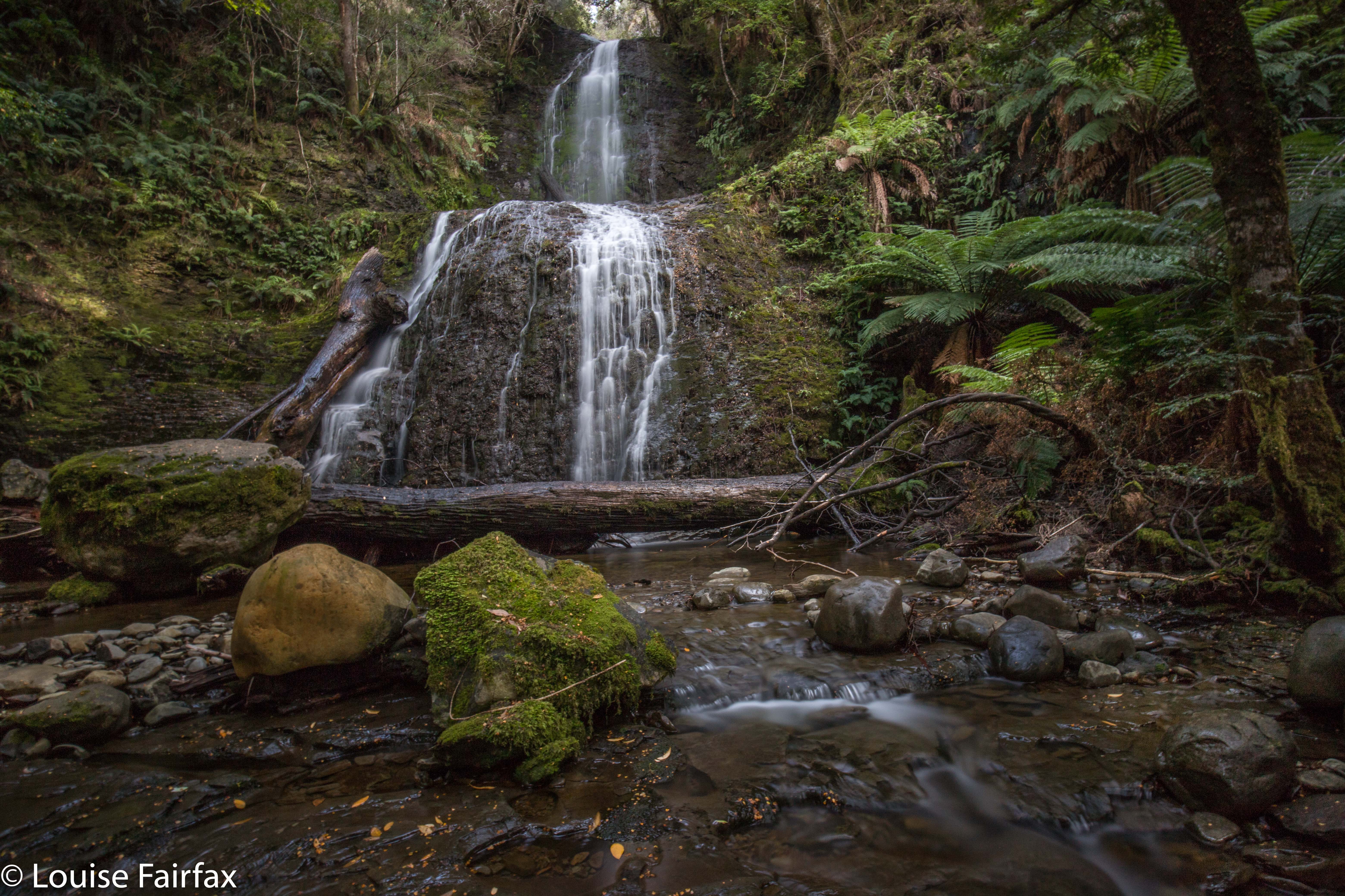
Old House Creek Falls 1 and 2

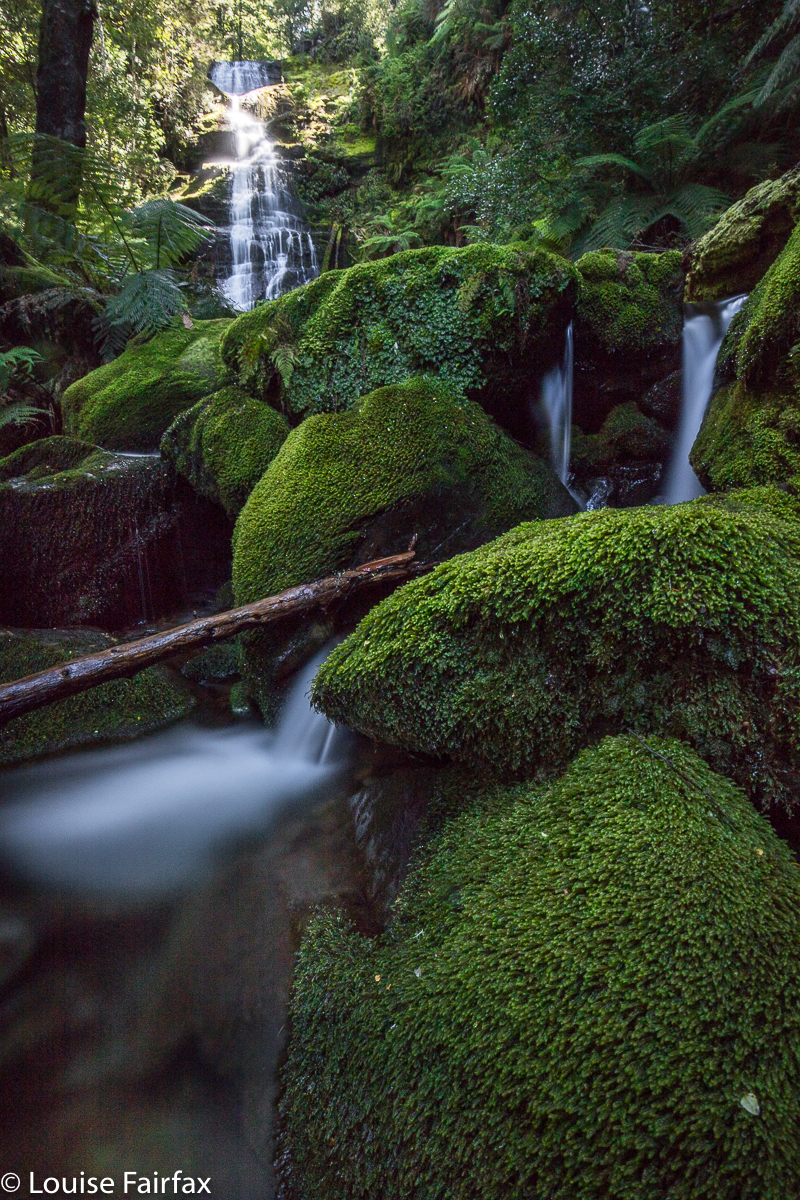
I wasn’t sure how high up all these extra falls extended, so popped into the forest every now and then on my way down to check out how things were (using the road. Oh BOY was I glad I hadn’t tried to drive it!!!!). The road was ugly, but the forest was gorgeous and mossy, and nice and open; the creek on each visit was just merrily cascading – quite noisily – and although each cascade would make a lovely image if one spent time, I was there on this day for actual waterfalls, so continued purposefully at this stage.
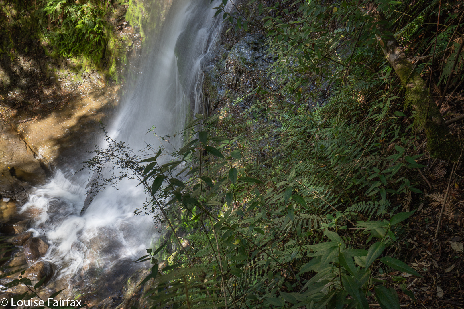
Old House Creek Base of Falls 2. I entered danger for THIS wretched shot? ‘fraid so. This waterfall goes up and up forever!

Once I had crossed the first road perpendicular to my line, the waterfall fun began. I waymarked each one on my map, but it became ridiculous. In a very short space of time, I had ten waterfalls, so all the yellow circles were just on top of each other, and I will delete the lot. I made my way to the base, taking just a few record shots in case I needed them for reference. I was at the base 35 minutes from leaving the car, so this was not a massive time commitment thus far. Ha ha. All up, spread over 4.5 hours, I did 1.5 hours’ exercise (which included some extra exploration higher up) and 3 hours’ photography!
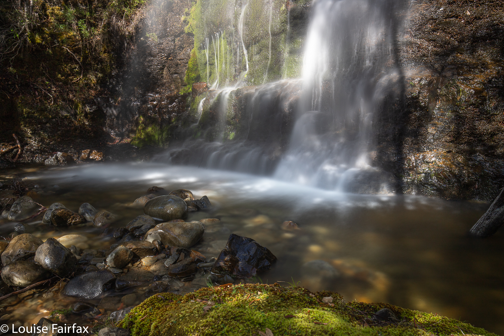
Old House Creek Falls 4

The forecast had been for a cloudy day, but I had noticed to my chagrin that the sun was making an increased showing as I descended. By the time I got to the base, it was really spoiling the party. I took some shots ’cause I was there, but I was not impressed with my own or the sun’s efforts. I will probably ditch the lot. (I did). Anyway, I already had some reasonable photos of the base, even though the flow was better today.
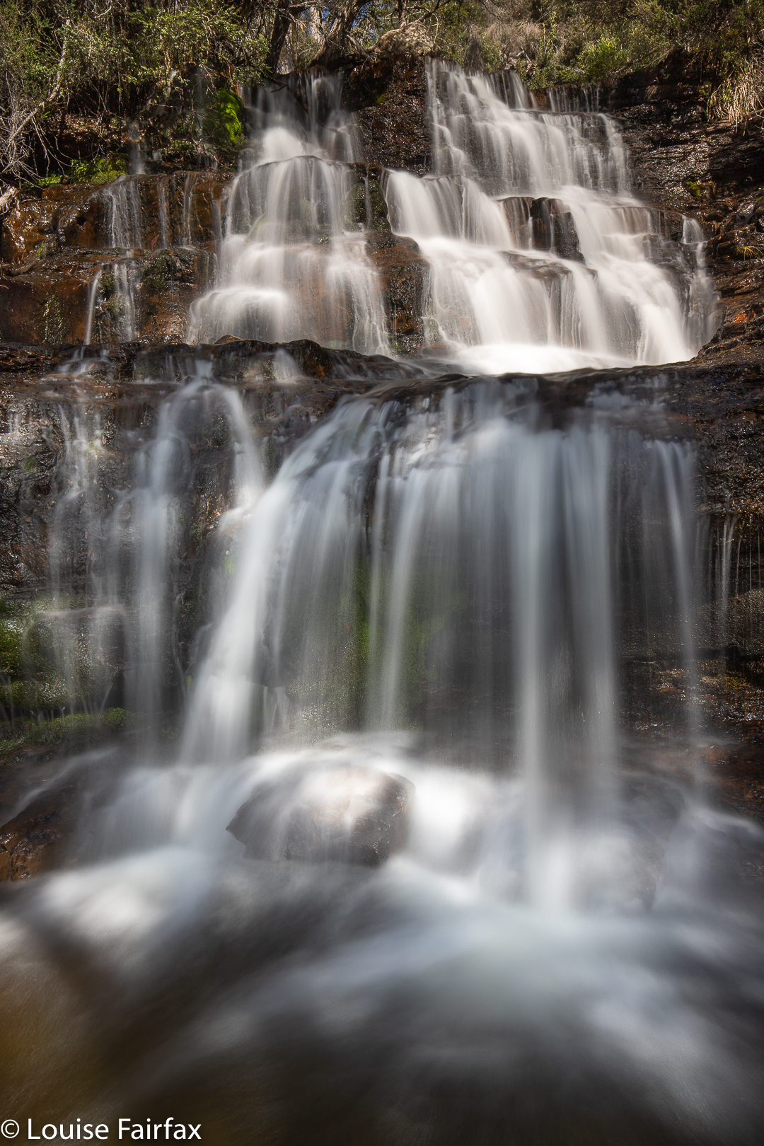
Old House Creek Falls 5 and 6

OK. Now the fun began. My first task was to try to get a decent shot of “Falls 2” or maybe you would call it “Upper Tier”. Given that there were to be ten, I thought numbering was easier. Up I climbed, and got to a spot from where I thought I could work my way across. Hm. The drop was not infinite, but it was substantial and vertical, and if I slipped and fell, a broken back or neck or a smashed head could easily result. No one knew I was there to even come and collect the pieces afterwards, and if I was only half dead, that would be inconvenient. Half would become full before they found me. I did have my plb, but if you are severely maimed or unconscious, the button is rather hard to access and press. (Btw, Falls 2 extends upwards into infinity. It looks middle sized from the base of Falls 1, but it goes out of sight, and you only get the full extent of its measure if you climb up and up to its top.)
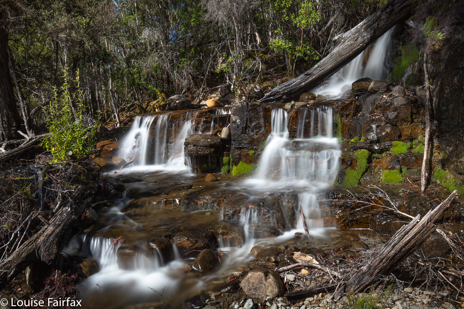
Old House Creek Falls 7 and 8

So, under the threat of exacting penalties I tested and retested every foothold and hand hold, choosing a path that never once abandoned a secure anchor. It took 30 minutes to reach the base from the other base below! No doubt you could do it faster by being less neurotically cautious, but in doing so, you would also no doubt disturb a great deal of moss, so in the interests of the environment, even if not of your body, I plead with you to take this very gently if you are as silly as I am and want to get there. I will also add that it is really not worth it. The view from down there was not extraordinary, and there was a lot of spray from the proximity to the landing. I am not pleased with the booty I obtained, and will not be using the shots for any competitions of beautiful photos.
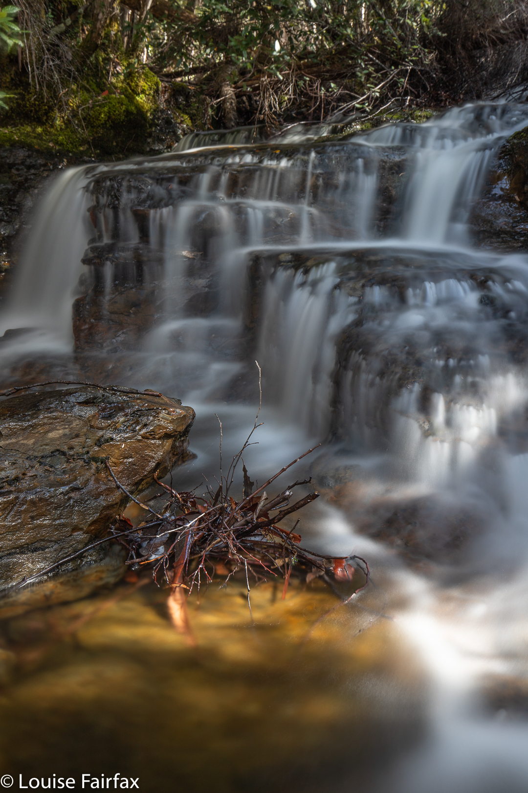
Old House Creek Falls 10

I had an overdose of adrenalin by the time I got back to my route after Falls 2, so just nodded a courteous “Hello” to Falls 3, which were sweet, but utterly dwarfed by the monstrous Falls 2 which seemed to go on forever. However, Falls 4 and 5 – a kind of a double – well, I couldn’t just ignore these, and thus began the very tedious business of setting up for almost every single waterfall I found. (Setting up my equipment and then packing it back at the end takes about fifteen minutes each stop: unfolding tripod, screwing on filter holder, unpacking glass etc.  I don’t dare walk with exposed glass when bushbashing.)
I think these were my favourites, although competition is fierce.
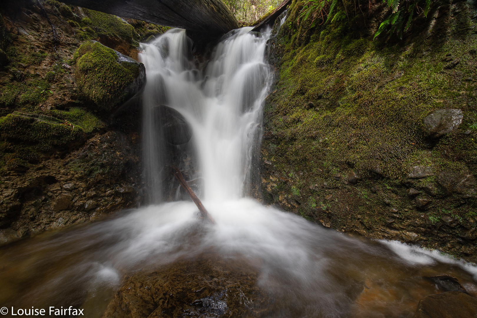
Old House Creek Falls 12

Later on I was also to skip Falls 9 (photographically speaking), just because the sun really did spoil them, and because I was soooo over unpacking and repacking my gear every few meters. Similarly I saved Falls 11, higher up, for a different visit, not because they were not beautiful, but enough was enough. I was satiated by this stage. Falls 12 I suspected to be the last, so gave them what I hoped was my final photographic attention, and called it quits for the day. I was starving. Time to patronise my favourite Mole Creek cafe (Earthwater), where I can sit in their beautiful garden under a tree, far away from corona-infected people, and enjoy bird calls and filtered sunlight while waiting for my food.

* For my previous blog, entering from the base, see
http://www.natureloverswalks.com/old-house-falls/ 

Bastion Cascades 2018 Sept

Bastion Cascades 2018 September.

Sometimes you have a beautiful waterfall on your bucket list for ages and ages, but the opportunity to go there just doesn’t quite arise, and so it was for me with Bastion Cascades. Something always got in the road when I thought I’d like to go there. The fact that the Waterfalls of Tasmania website says the circuit takes five and a half hours, and other sites say five, did not help. Unless one got a super-early start, one would be finishing in the dark when the drive was added to this large amount of walking time.

However, this morning Carrie and I went to the base of the Upper Falls of Sensation Gorge Falls (which greatly pleased us, as people said this couldn’t be done), but we were so disappointed with the small amount of flow there that I decided to abandon our earlier plans, and to head for Bastion Cascades, which always looked moist. Carrie agreed. Yet, once again, the stated time to do the walk put us off a bit, but we decided we’re fast, so we’d give it a go. We reached the first cascade in thirty six minutes. The second (that is, the actual Bastion Cascades) was seven minutes further. I’m glad I decided to risk it! After photographing small and large cascades, we continued on the circular track as it climbed above the falls, and had lunch at the amazing Stone Hut, not an exactly comfortable-looking place to stay in, but great fun to look at.

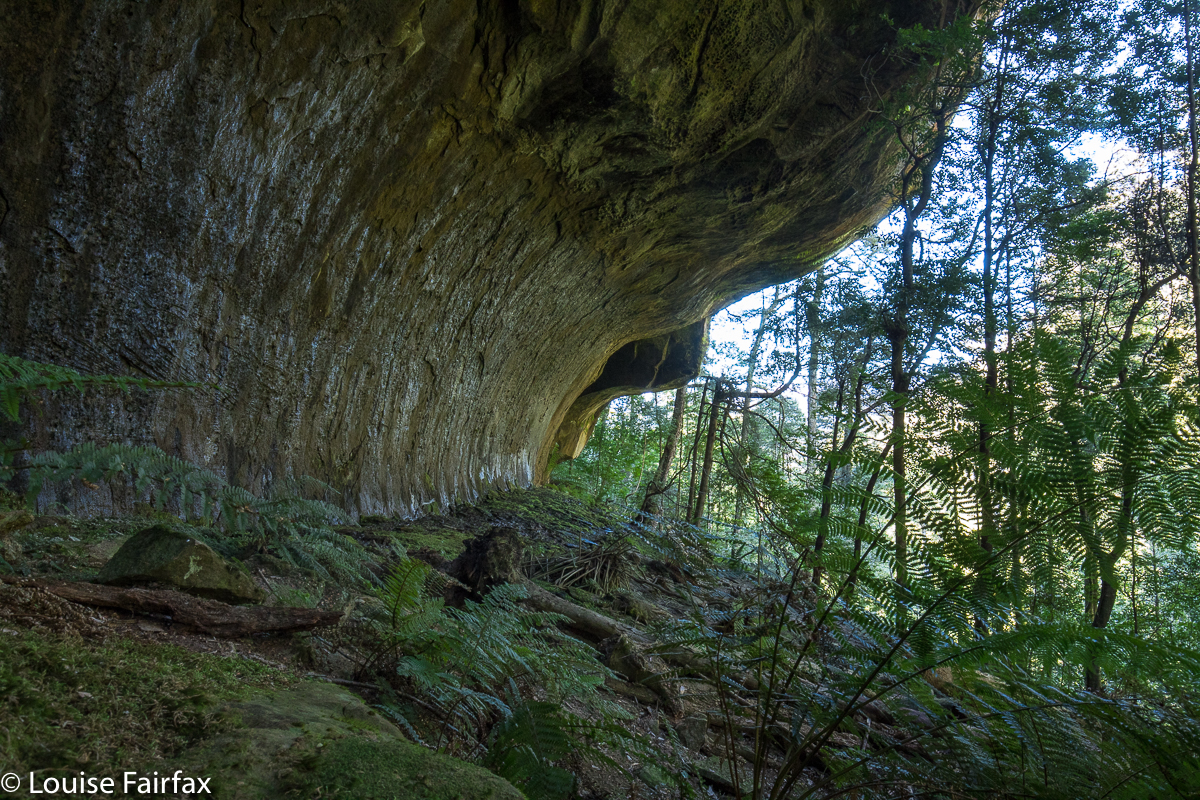
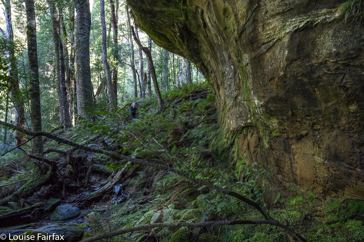
Carrie adding some scale, although she is standing under possibly the smallest of the overhangs.
The overhanging rocks were truly awesome in their magnitude, and the whole area was lush and mossy – and steep and slippery as well. We agreed that it was not a place where you’d bring young children, especially if you were carrying one of them. Abby and Gussy will have to wait a bit for this, although they would really love this elfin forest. My gps said we walked 6 kms, and that we climbed 320 ms. Again, Waterfalls of Tasmania and Touring Tasmania both say you climb to 800 ms, kind of implying that that is how much you actually climb. You start at 625 ms, and climb to 945, so neither hint not fact is correct. Although it is “only” 320 ms, there are some quite tricky sections with permanent rope to help you, and it certainly feels like you’re working. Both of us took off a layer somewhere during the climb.

We have both fallen in love with this area, and, whilst in the midst of enjoying round one, were busily plotting our return after more rain, like a kid who on Christmas day announces that they just can’t wait until next Christmas. Like that kid, we may well have to wait until next winter. At least we now have a more accurate time assessment of our task.

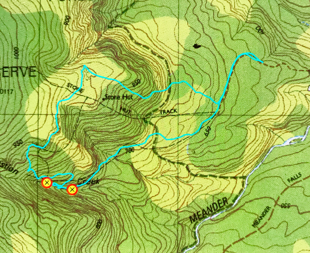
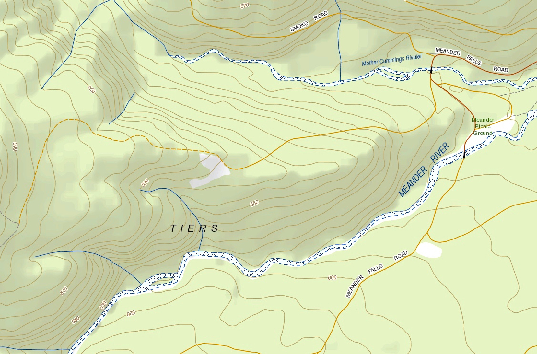
From Deloraine, follow signage to Meander Falls. However, immediately after crossing the Mother Cummings Rivulet (and the Smoko Road turnoff), there is a road on your right (Quarry Road), which looks a bit dicey, but is OK. Take it, and follow it as far as you dare. We did not go the whole way, as there were whopping mud bogs of indeterminate depth that had me too nervous to progress further. There are turning points at intervals on this road. My cyan route begins where we parked. There were two others in the forest that day, and they walked as fast as I drove for that section! After parking and following Quarry Road to its end, follow signs to the Stone Hut. Later, there will be another sign, and you can make up your own mind whether you want to visit the cascades clockwise or anti. Both directions contain fallen trees and parts that have ropes because the rock is so steep and slippery. This is not a tourist waterfall. If you go there, please remember that the beautiful moss is part of the attraction, and try to tread only on stone, leaving the beauty for others to enjoy as well.
Please note the gross inaccuracy of the original tasmap. The cyan line marks the actual track. Both the black dashed line, and the position of the Stone Hut are way off. The Hut is to the north of the top cyan line. (The contour they have it on is probably correct.) The black dashes bear no resemblance to reality. Whoever put them on the map got their spurs confused. The waypoints are where the upper and lower cascades are. Have fun. Take food with you. This is such a lovely place to stop and eat a while.


“Context statement”, showing the start of Quarry Road, after the Meander Falls road crosses Mother Cummings Rivulet. You will see that this road saves you quit a bit of contour climbing if you go as far as you can.

Sensation Gorge Falls 2018 Sept

Sensation Gorge Falls 2018 Sept 10th.

Sensation Gorge has an appropriate name, for it is, indeed, sensational. Yet at the same time, it is also serene. This seems almost a contradiction, but I did feel in the presence of something excitingly spectacular, whilst also having the impression I was encompassed by serenity. The grandeur of the gorge, emanating from a placid little stream minding its own business until it met with a mighty drop was somehow set within a context of great peacefulness. Birds sang; the Overflow Creek (now, there’s an unexciting name if ever I heard one) gurgled; the rich mosses did their shiny green beautiful thing. It was a wonderful day …. except that beautiful days are not generally good for photography of waterfalls.
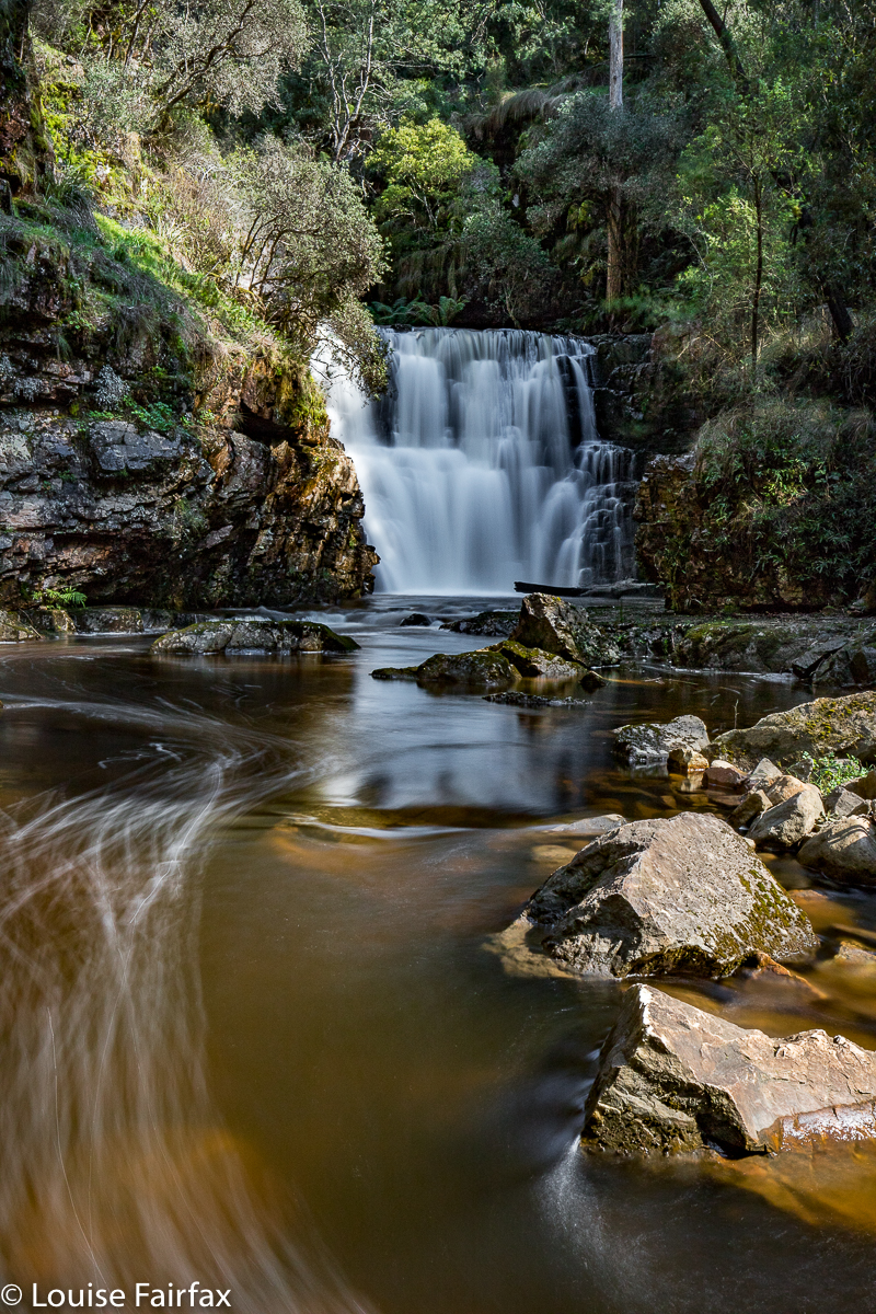
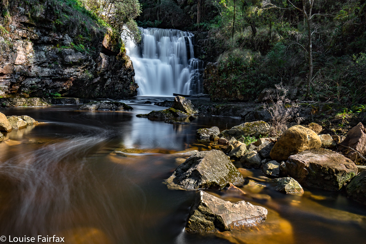
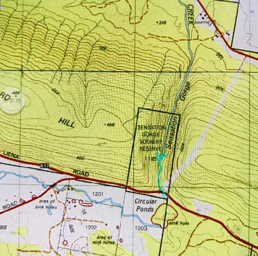
I am having a little problem at the minute, as days that are considered good for photography (dull ones, perhaps with a little gloomy drizzle) are days that just make we want to stay at home and mope. Days like today, where the sun shines and the world is good and I feel like going places, happen to be the worst sort of days for my hobby of photography. If you arrive at your waterfall at around lunchtime on a sunny day, the dynamic range between the glare of the water and the darkness of the deep shade poses a problem, even if one comes armed with polarisers and other filters. I knew this would be a problem, but it was such a lovely day, I wanted to do something pleasant on it.

I parked the car and set out along the stream on the eastern side. A little pad was discernible, and soon enough, tapes appeared. They led all the way to the base of the second falls (pictured here). This is not a tourist route, however, even though someone has put tapes out. The going was so steep and slippery in the final descent that I had to stop and fix my tripod to my pack to free up my second hand, and on the way back up, I actually started sliding backwards, despite wearing proper bushwalking boots. Don’t consider this route in anything other than boots, and only do it if you are comfortable with steep, slippery slopes. It took me approximately fifteen minutes in each direction. I needed two hands for the steep part, both up and down. I eyed the upper falls longingly, but could not see a way to their base, and the sun was shining on them quite vigorously, so didn’t even bother with a shot from above. This was a nice little excursion from Launceston. Tessa and I had lunch, cake and coffee on the way home, and had the afternoon free to cart barrow loads of mulch onto the garden, and even to have a run in the gorge. I’m afraid thirty minutes’ exercise doesn’t keep me happy for a day’s tally.


(No. I did not climb up the cliffs on the other side. That is some glitch in the gps tracking. )
Coda to this symphony: On Sept 30th, I returned to this spot ready to climb to the base of the upper falls with my friend Carrie. We got there, and were very happy (as some had said it could only be shot with a drone, or from above). However, in the couple of weeks since I was last there, and despite rain in the interim, the falls were a dastardly trickle. We’ll have to go back after much more rain and get our tootsies a lot wetter – but at least we’ve bagged the base. Here’s what we saw:

Old House Falls 2018 Apr

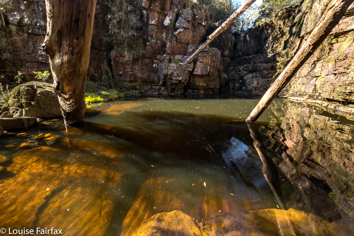
Old House Falls (by Lake Rowallan), Apr 2018.
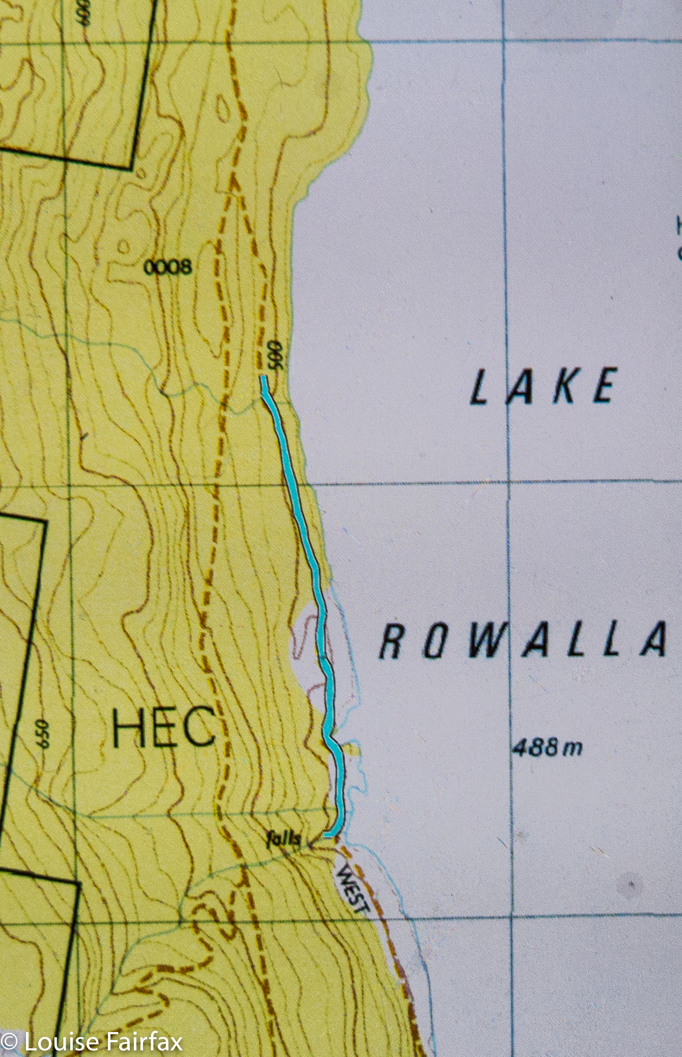
Old House Falls looked nice and simple on the map. I checked with a guy who’d been there the day before as to whether I could get my car along this road, and he said there’d be no problems. Blissfully ignorant, off I set, along the usual Mersey Forest Road I know so well from bushwalking. But, instead of crossing the Mersey and going down the normal, eastern side of the lake, I continued on the western shore, as per the map I had: on and on and on and on. Like a kid who keeps asking its parents: “Is it time yet?”, I kept consulting my map as the road got worse and worse. Is it time yet? SURELY it’s time by now. Na, came the inevitable answer each time. Not warm yet.


The pot holes got deeper, the stony bits rougher, the mud sections slipperier, the ponds I drove through murkier. How deep were they? I almost closed my eyes so I wouldn’t see my own accident as I drove through, hoping I wasn’t going to drown myself or my engine. I have a Subaru AWD, not a huge 4WD. This was nauseatingly scary. I was by now miles and miles and miles from any help should I need it, and it looked like I would need it very soon. Lucky I can run long distances. I could see a very long training run for help coming up. Tessa was pleased. She likes that.


Eventually, I came to a creek I was supposed to drive through with steep banks (for me) each side. Enough was enough. My adrenalin levels were now through the roof. I managed to execute a hundred-point turn, and, convinced NO person in a quarter of a right mind would come this way, decided a skinny car could get by, parked, and off I set. I had 1.6 kms to walk until the creek I wanted, Old House Creek. The Falls would then be about 60 metres to my right up the hill (west). The foot bit was glorious. I began to relax and enjoy the view. Why hadn’t I abandoned my car and given myself peace of mind earlier?


Just before the falls, I saw a claret coloured ute. Amazing!! Someone had got that car all the way there. It must be an abandoned car, its owners too scared to drive it out, I figured. On I went to the beautiful falls and photographed them. Just as I approached the area where the claret ute had been, I saw it leaving. Oh no. It was too fat to get past me. I waved and called. They drove slowly but continued on. Had they heard me? Oh well. The walk had taken thirteen minutes. If they took four to drive it, they wouldn’t have to wait ALL that long. On I pressed.


As I neared my car, I saw two guys, brandishing axes. Luckily I am not suspicious or paranoid, and so did not think the axes were intended for retribution delivered to my car, or, worse, to be used to punish me for being an inconsiderate twod preventing a normal citizen his right of passage. They assumed I’d broken down (how generous and kind of them) and were just going to cut their way out. Instead, I drove, with them as my backstops, until the danger was over. They, too, were waterfall baggers, so we all sat by the lake once we’d finished with mud-slides and driving through lakes of unknown depth and over fallen trees, and had a lovely time eating and chatting whilst staring at Clumner Bluff perfectly reflected in the waters of Lake Rowallan. You’ve no idea how unscary the road was when I had a backstop. Thanks to Shane and Ed, I even like these falls, and now I’ve got over my “beginner’s angst”, I may even go back one day to check them out when the flow is bigger.

Lobster Falls 2016 Nov

Lobster Falls near Chudleigh / Mole Creek.
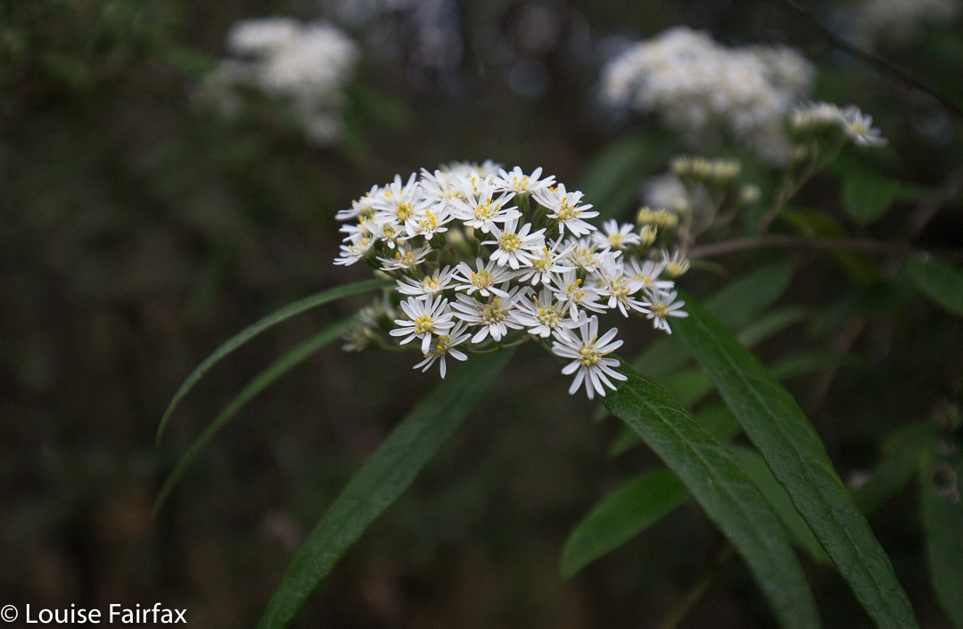
Olearia linata
Perhaps you don’t think a visit to the Lobster Falls is an adequate – or even likely – substitute for a multiday trek in the South West connecting glorious mountains, but, alas, there are some days when you have to admit defeat, and today was one of them. Unfortunately, the combination of my bronchitis, which has now been keeping me company for five weeks, and the forecast of heavy rain, driving winds and gelid temperatures on high didn’t seem like a happy marriage. I backed out before walking down the aisle, deciding that a little run, some Pilates and a walk to these as yet unvisited falls would be a healthier option.

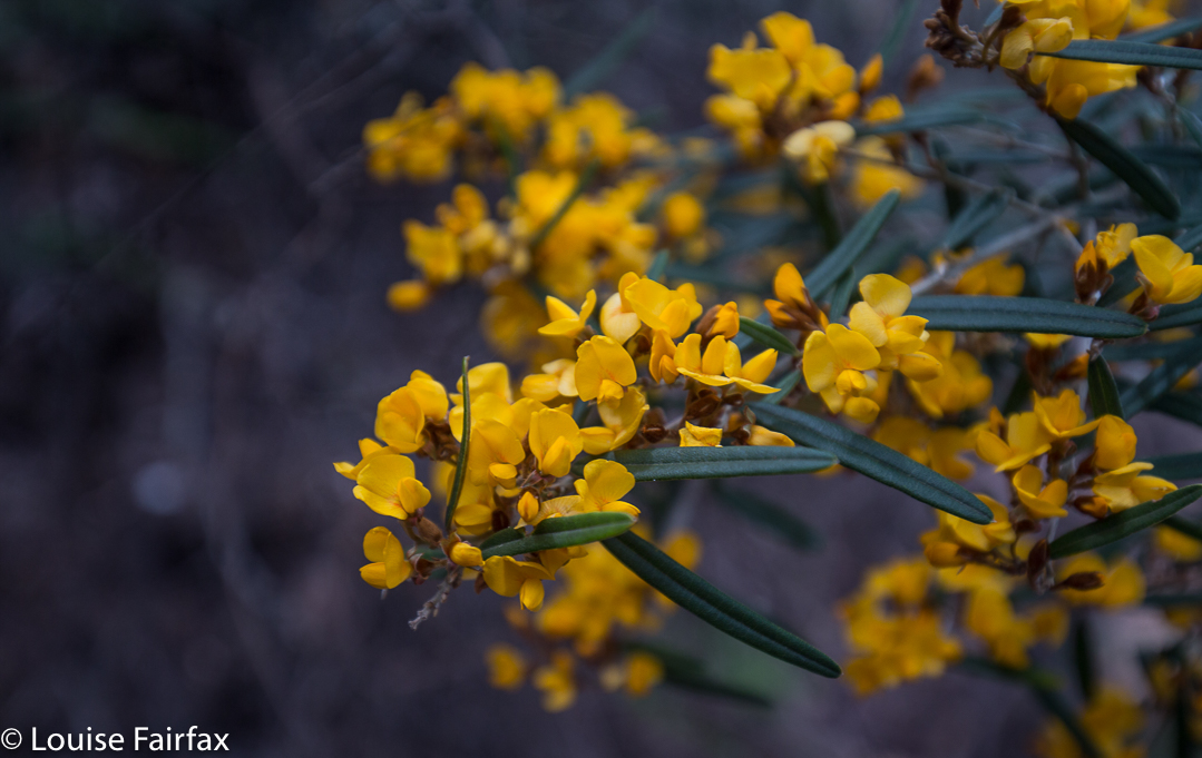
Oxylobium arborescens

 To get to the start, we drove along out of Deloraine in the direction of Chudleigh. After seeing a sign to the Needles on the left, I knew to look out for a blue and white sign to the Lobster Falls (which are on the Lobster Rivulet) to the right. Near that sign is another one which says no cars should proceed beyond that point. I ignored it for 50 ms to get the car away from the main road. There was a clearing there for parking.

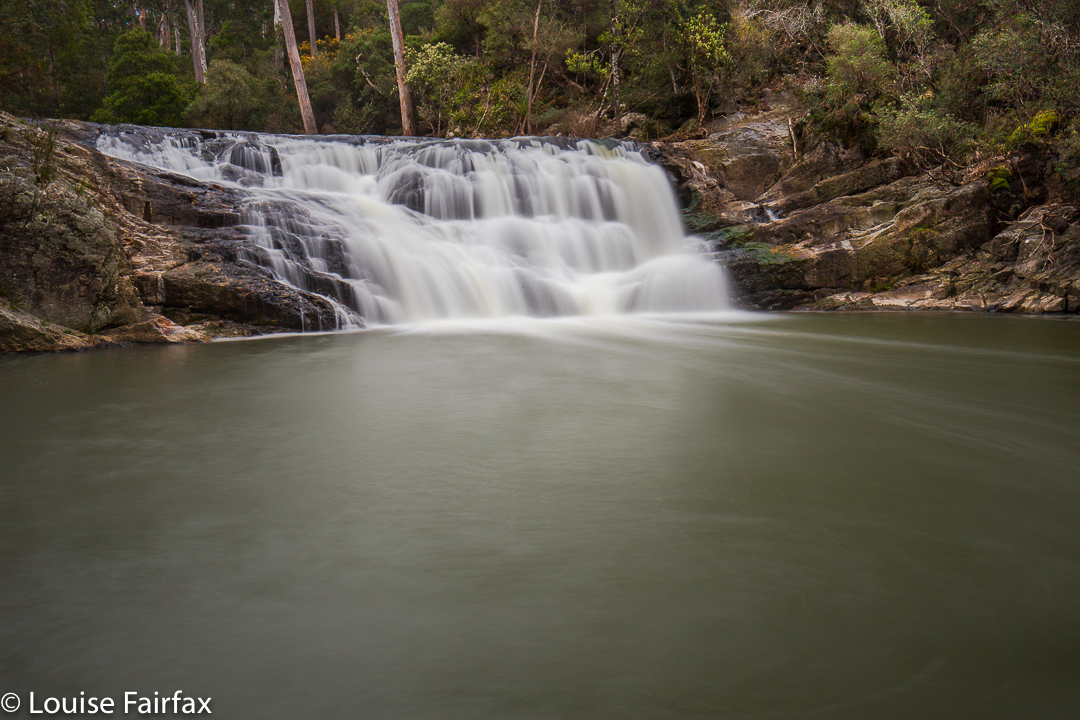
Lobster Falls

Something VERY heavy has been down the road that formed the early part of the walk, making the ground exceptionally soft and causing huge indentation. There was a particularly gooey section – which lasted a mere 70 ms – where going through the bush was more pleasant than being on the road. When Tessa (dog) sank in up to her stomach (portly) she, too, took the firm bush option. Don’t be put off by this. it is short lived, and the bush is quite open at this point to allow easy passage.

Bauera rubiodes
 At twelve minutes from the car, we came to a metallic white arrow with pink and blue ribbons attached, pointing to a track to the right leading off this “road”. Now, a very pleasant route became an exceptionally beautiful one. In four minutes from the arrow, we rounded a corner and found ourselves looking down on the Lobster Rivulet which we now followed to the falls. Overhanging the path were myriad wildflowers in yellow, mauve, rose, light pink and white – bauera, boronia, olearia, acacia, oxylobium and more. There were even plenty of orchids (caladenia alpina).

The path (taken on the way back)
 In sixteen minutes from that corner (and thus, about half an hour from the car), in a pace that was neither rushed nor a saunter – just a nice steady walk – Tessie was having a dip and I was setting up my tripod. Bruce has Parkinson’s disease, so elected not to come all the way down to the water’s edge, but the section that was narrow with a drop had plenty enough bushes to take away the scare factor for him (well, he was probably taken to his limit, but did not go over it). He could see the falls perfectly well from where he waited, so was not denied much by not doing the final twenty metres steep descent.

 I was now starving. Time for an ice-cream at the Honey Farm to tide us over so we could get all the way to the Raspberry Farm for lunch. Humans and dog enjoyed the outing.