Nereus trip 2018 Jan

Nereus trip, on a shockingly hot clutch of days, late Jan 2018.
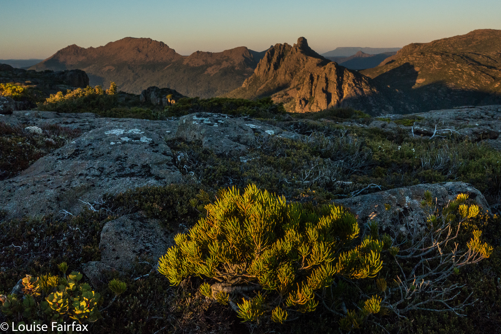
My mother taught me that if I don’t have anything nice to say, then I shouldn’t say anything at all. There are necessarily a lot of very “not nice” (mild understatement) things one could say about the whole Nereus area since the last fire wrought havoc on the forest and left us with thick, prickly, disgustingly uncomfortable scrub which occurs in tiring and lengthy bands. My legs stung from the scoparia injections, and I tore my boots, my gaiters, my gloves and my famous cow pants. (I also got the second flat tyre in seven days on the way home). Leading the gang through the bosky barricades was energy depleting.
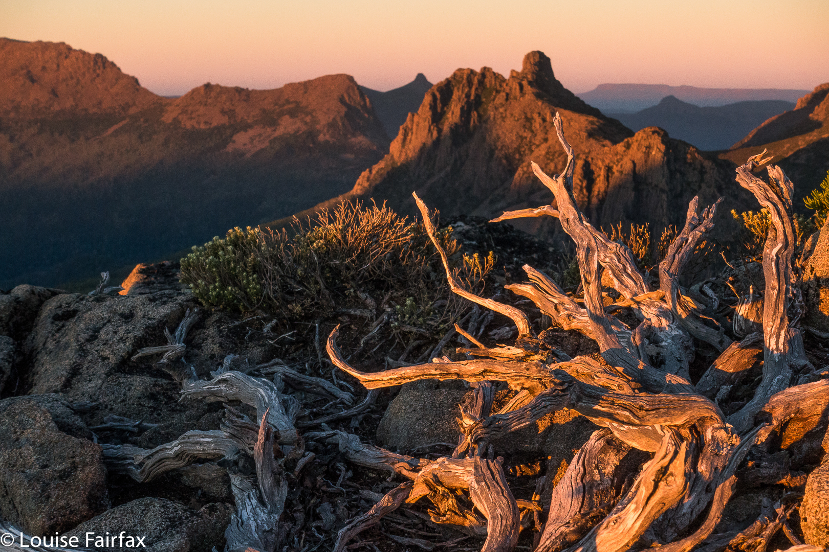
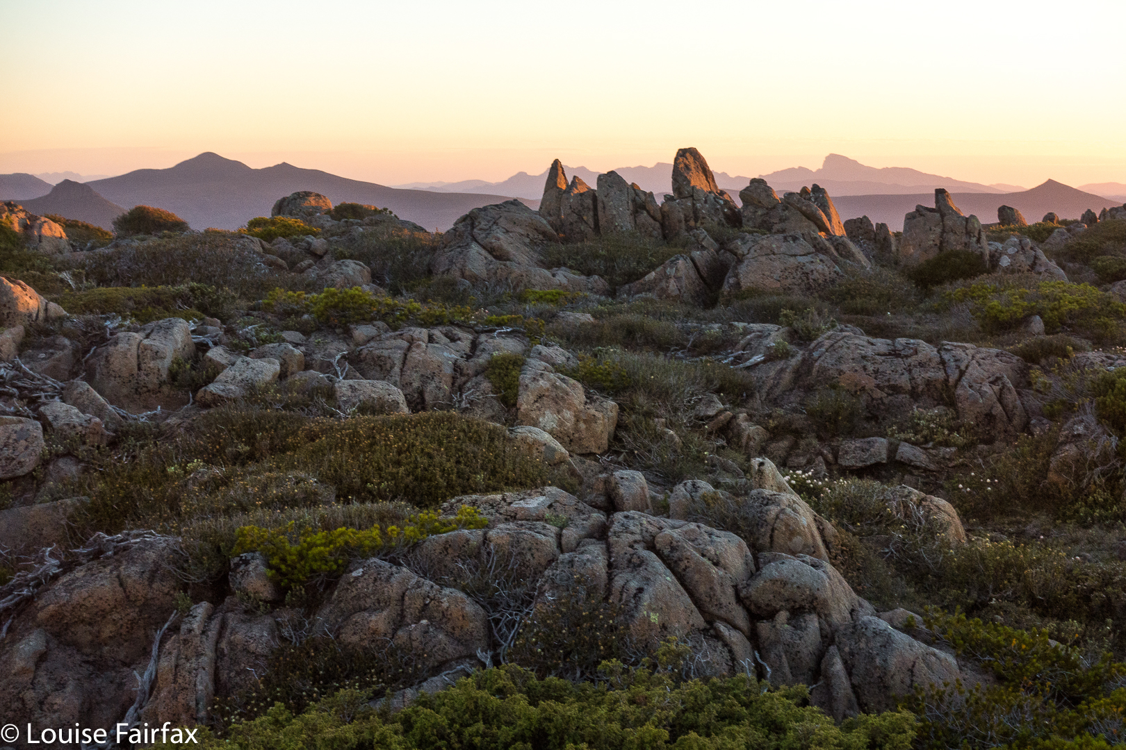
We were not helped by the fact that the days were stinking hot and water was all but non-existent. Even the nice big tarns on Walled Mountain were dangerously – ominously – empty and murky. The yabby holes further on were mostly dried out. Whoops. I’m disobeying mum’s rule.
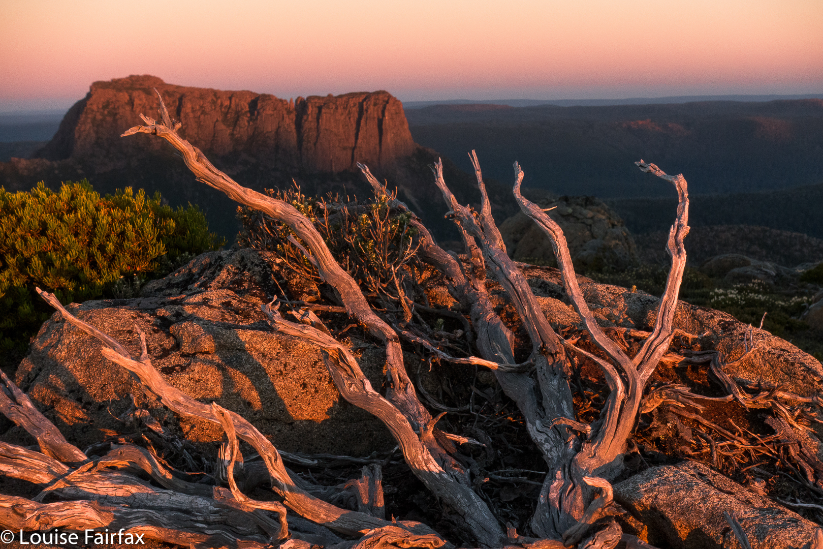
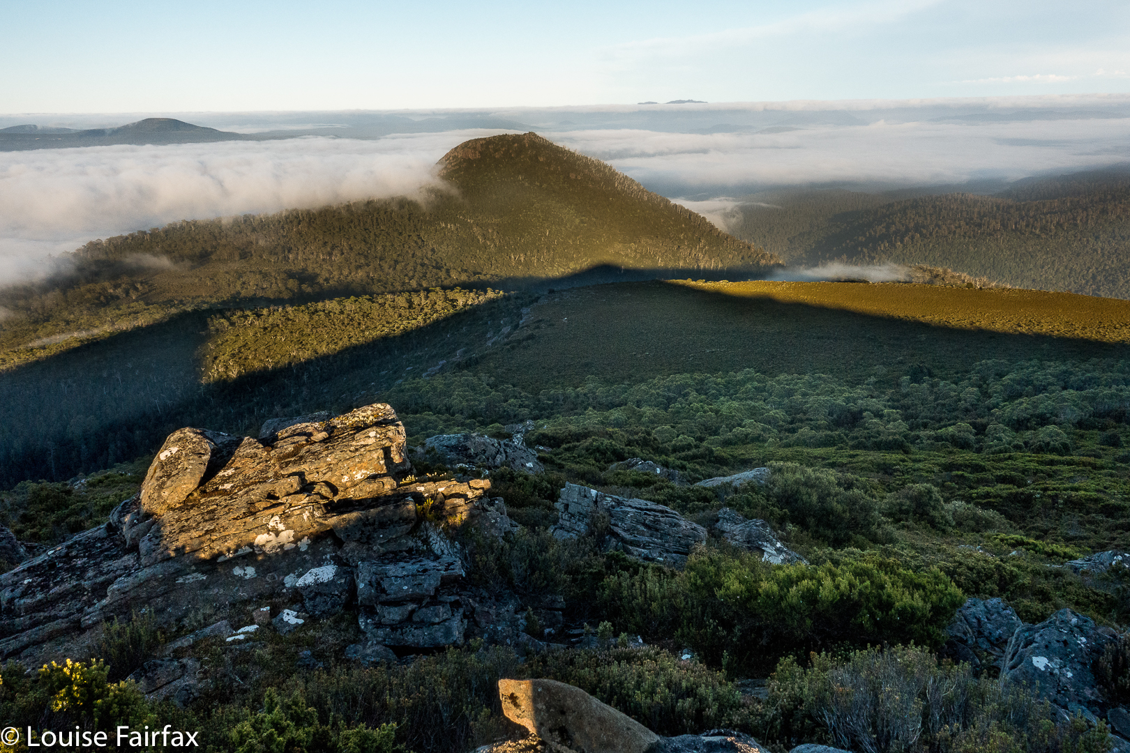
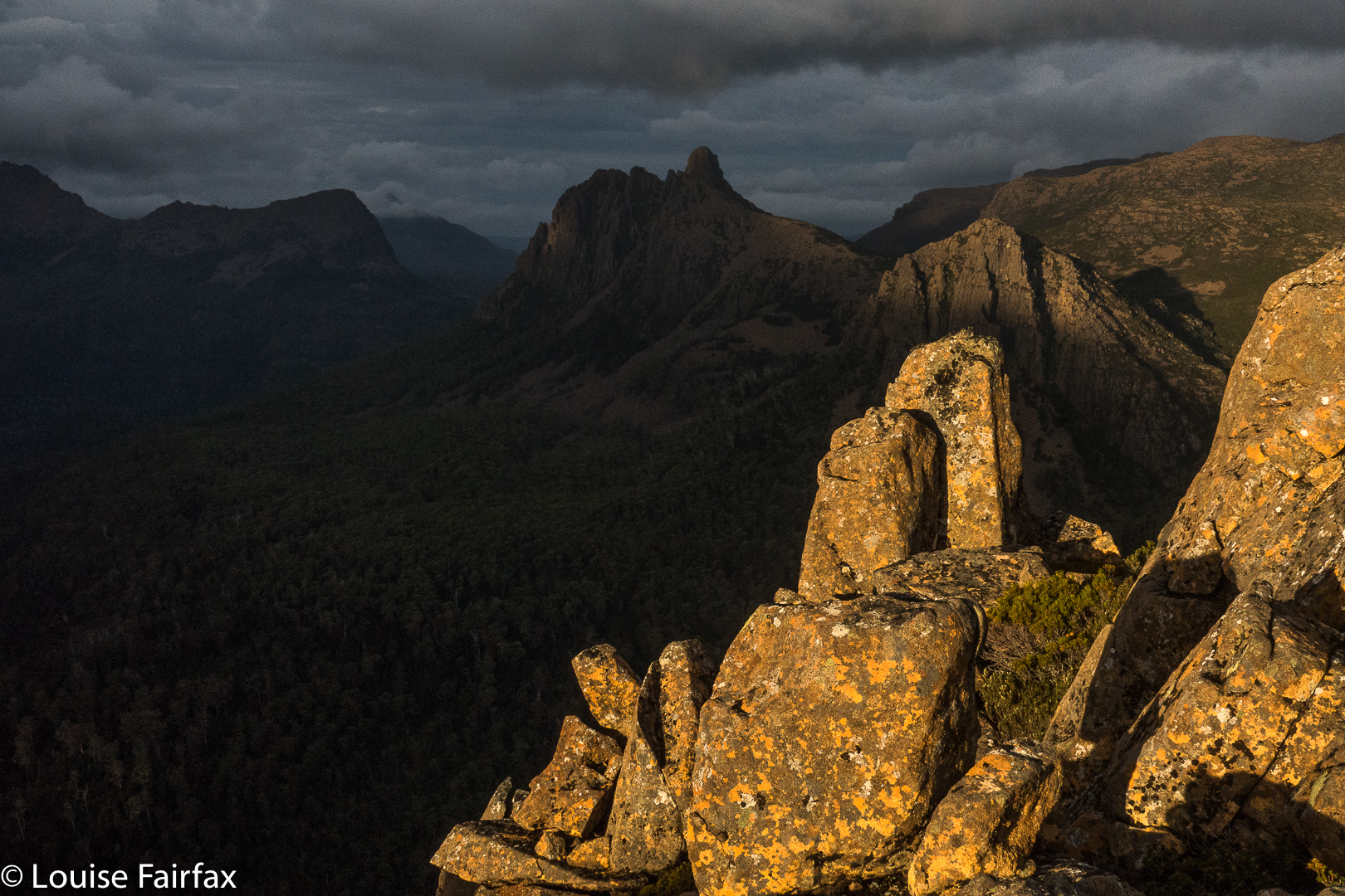
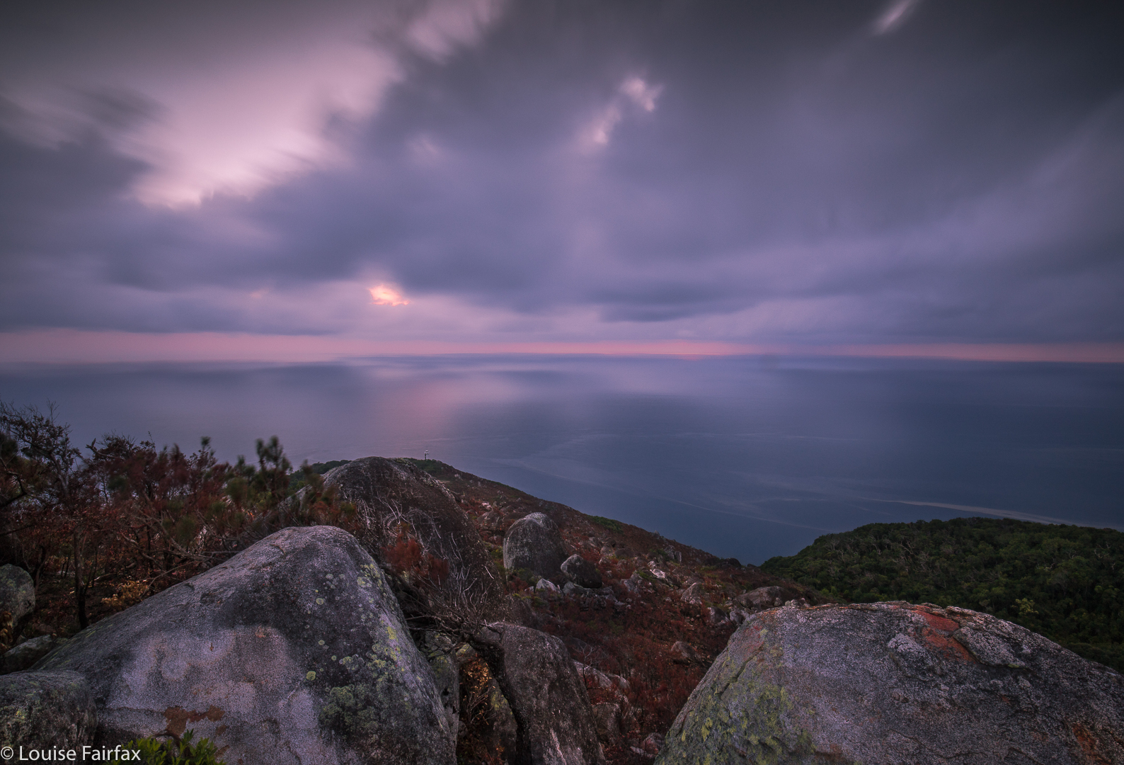
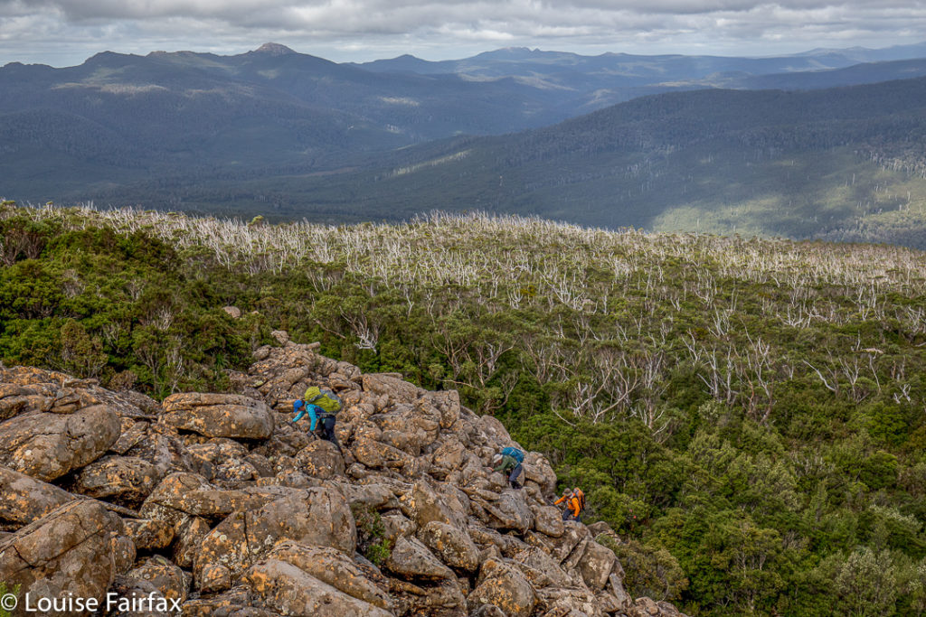
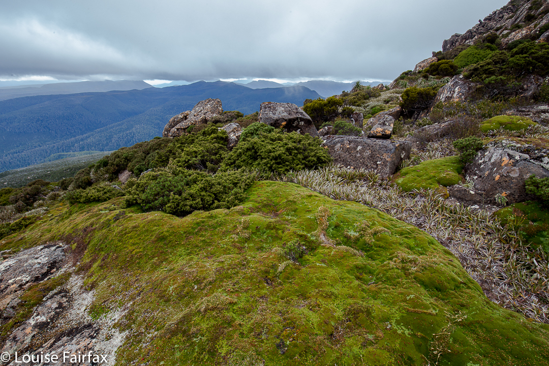
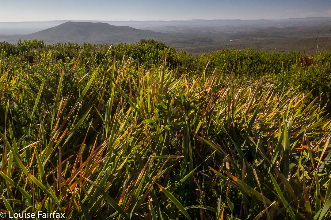
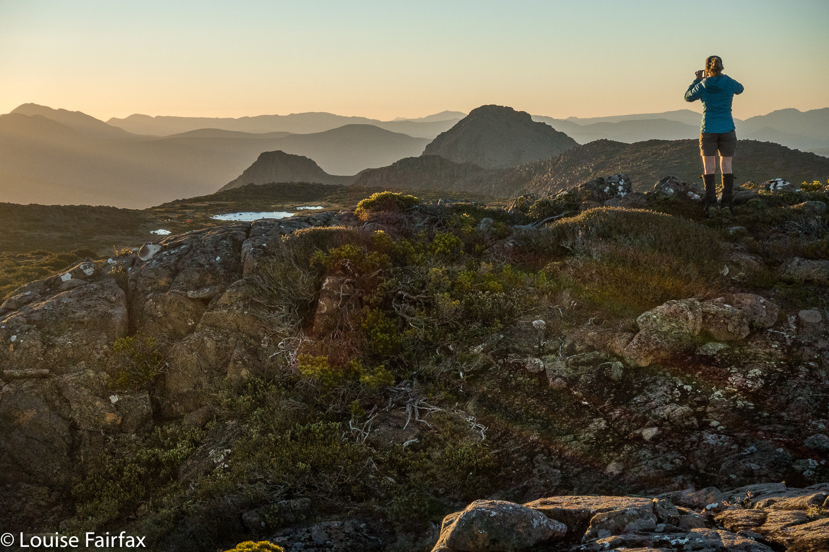
Nereus from Urquarts Messa.
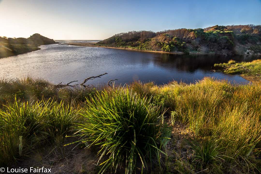
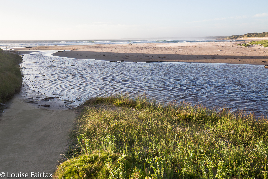
Here are some photographic highlights. Now THESE are indeed worth talking about. Stifling days can be followed by evenings to die for, and we got them. Hoorah.
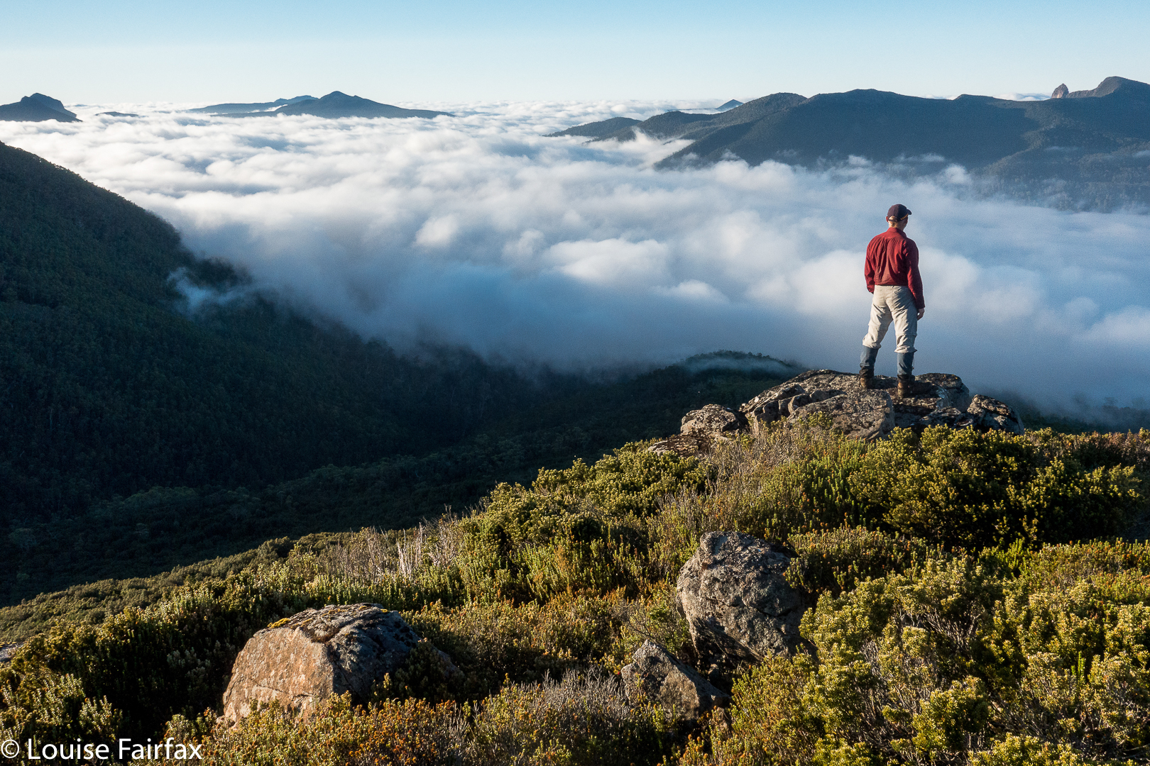

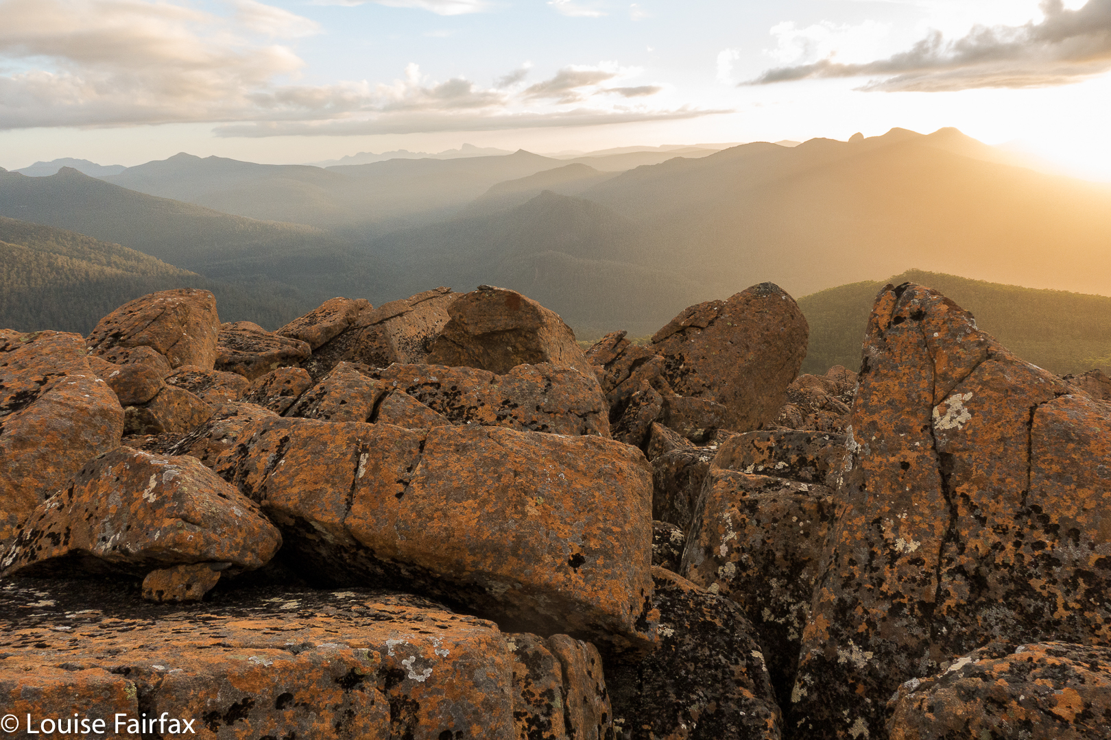
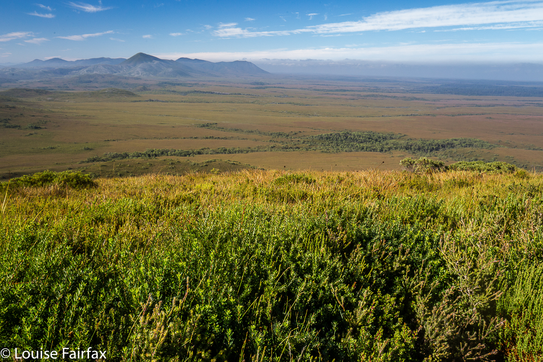
Tim and I climbed Urquarts Messa nice and early, so were on top by 6.45 a.m., a beautiful time of day to see what it had to offer.
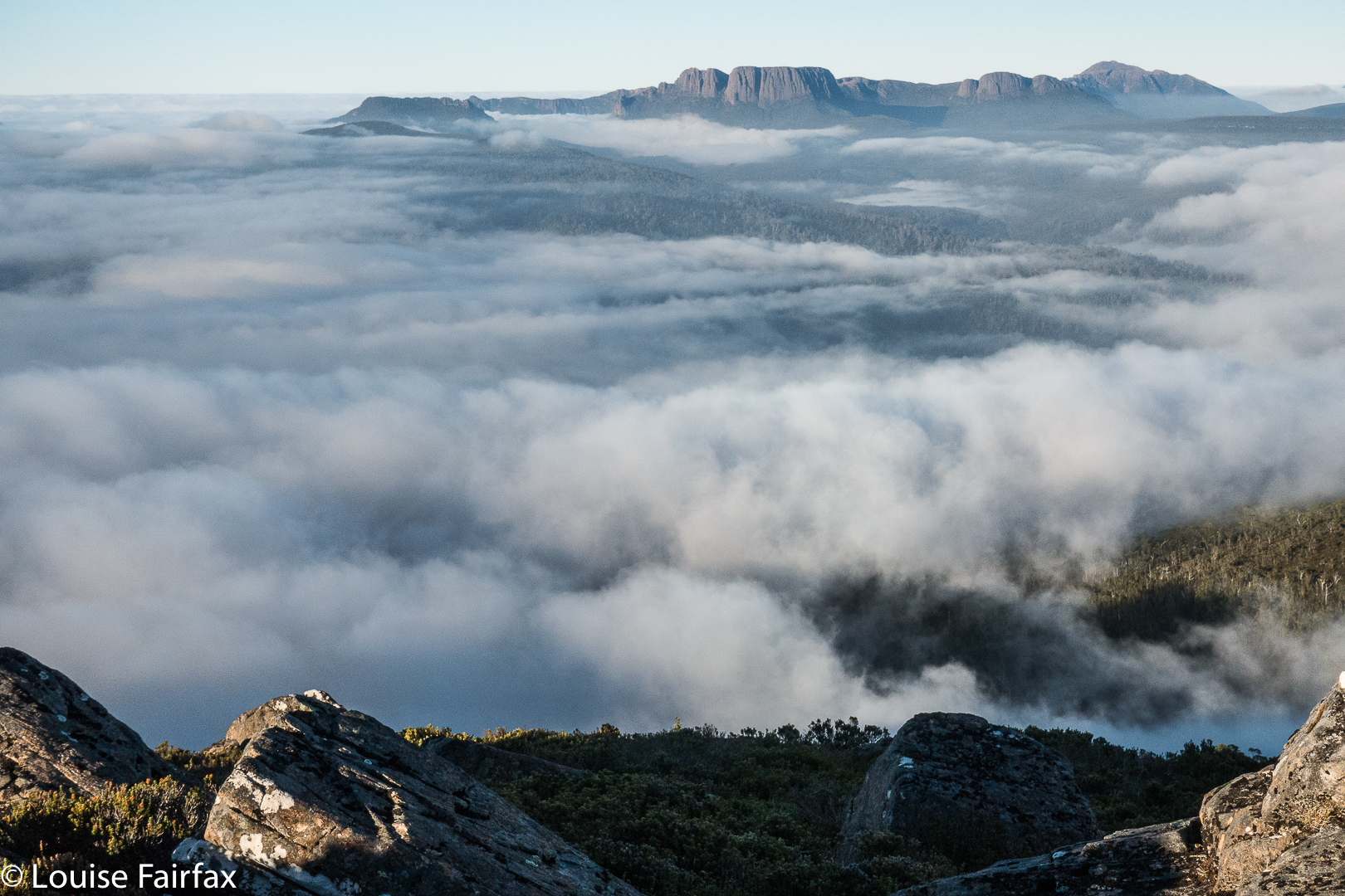
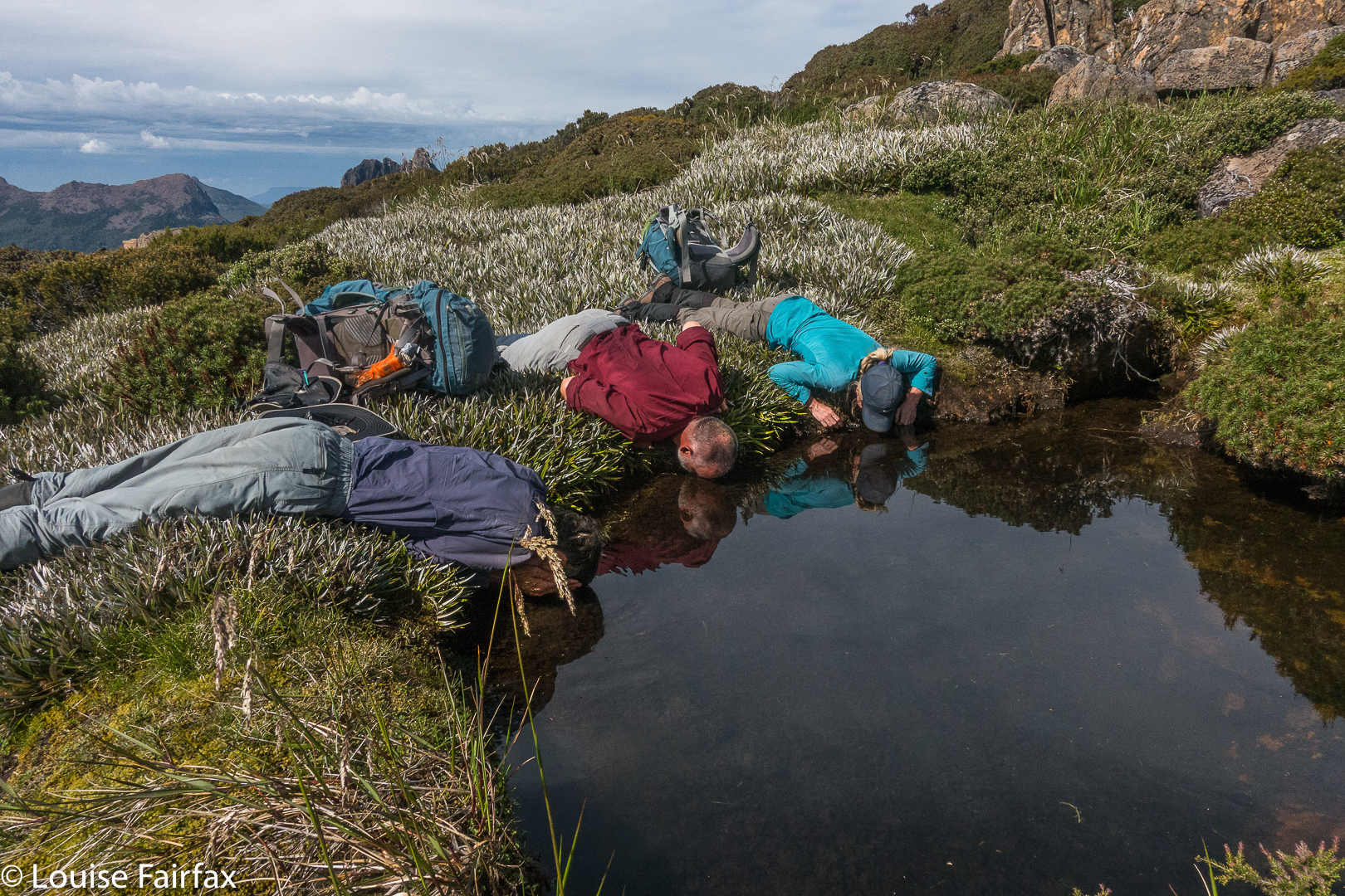
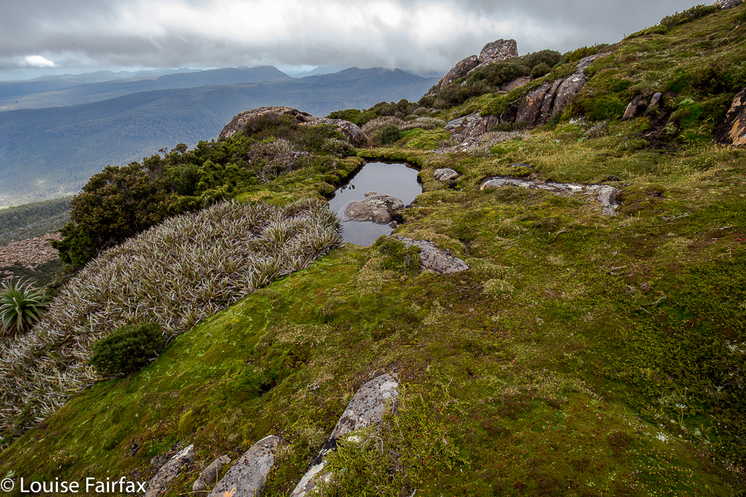
A tarn with cool, deep water, found after a long, hot day on the way back. This was possibly the most physically pleasing moment of the trip. 
I love the way that memory gradually erases the bad bits, turning them into theoretical facts of little emotive weight. I am left with my photographic highlights ….. It is now a bit over a week since I was there, and already these photos have helped to mollify my negative reaction to the trip. I have realised that it was a very beautiful one, with some glorious moments.
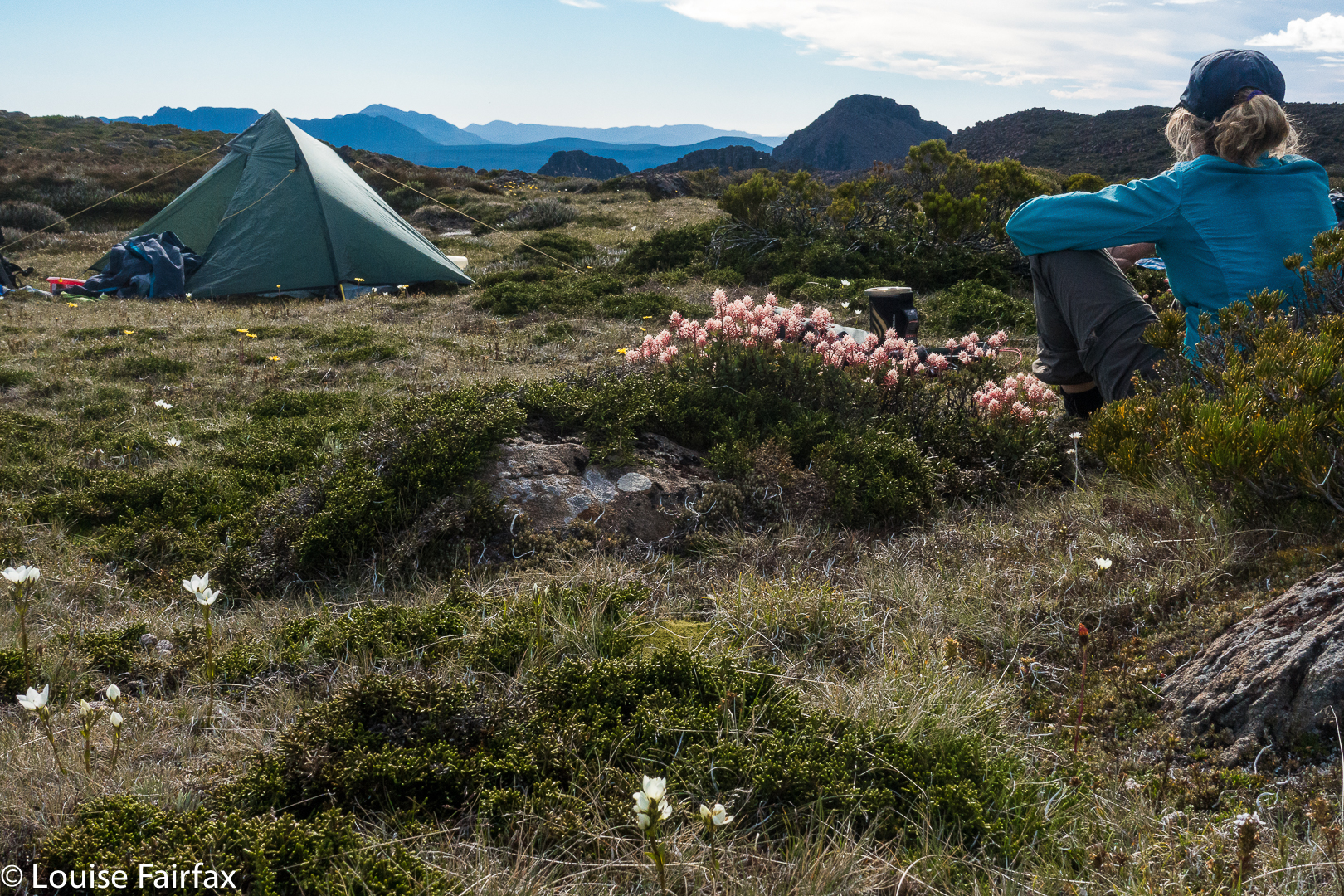

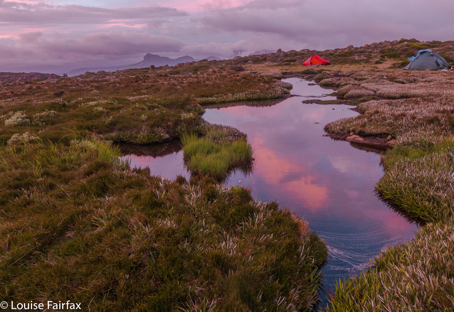
And there were moments to sit outside the tent and reflect.
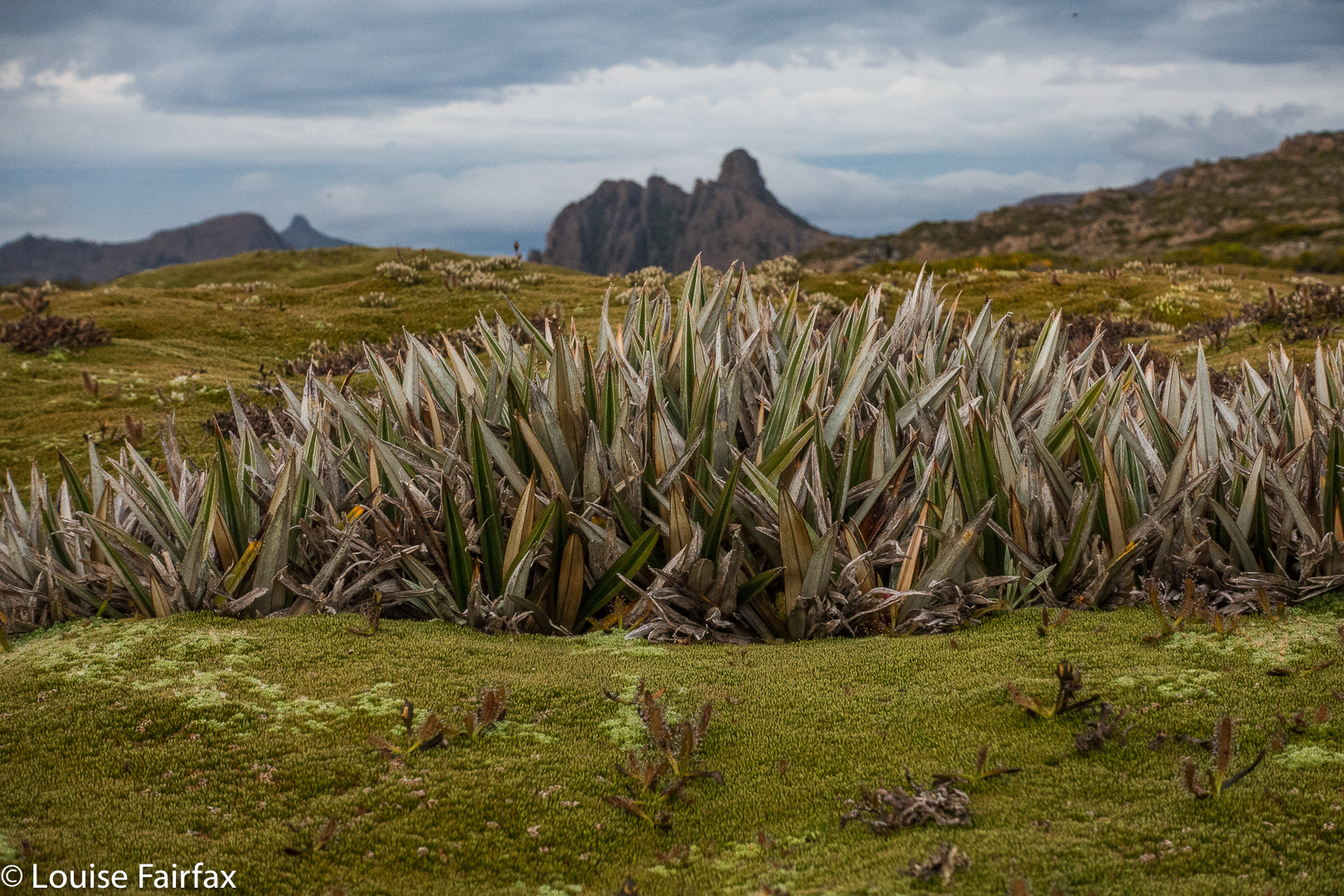

I find it interesting that social factors, however, are the ones that determine the extent to which I look back on a trip with delight or mere tolerance. When you have a good team on board, even scoparia and can be fun.

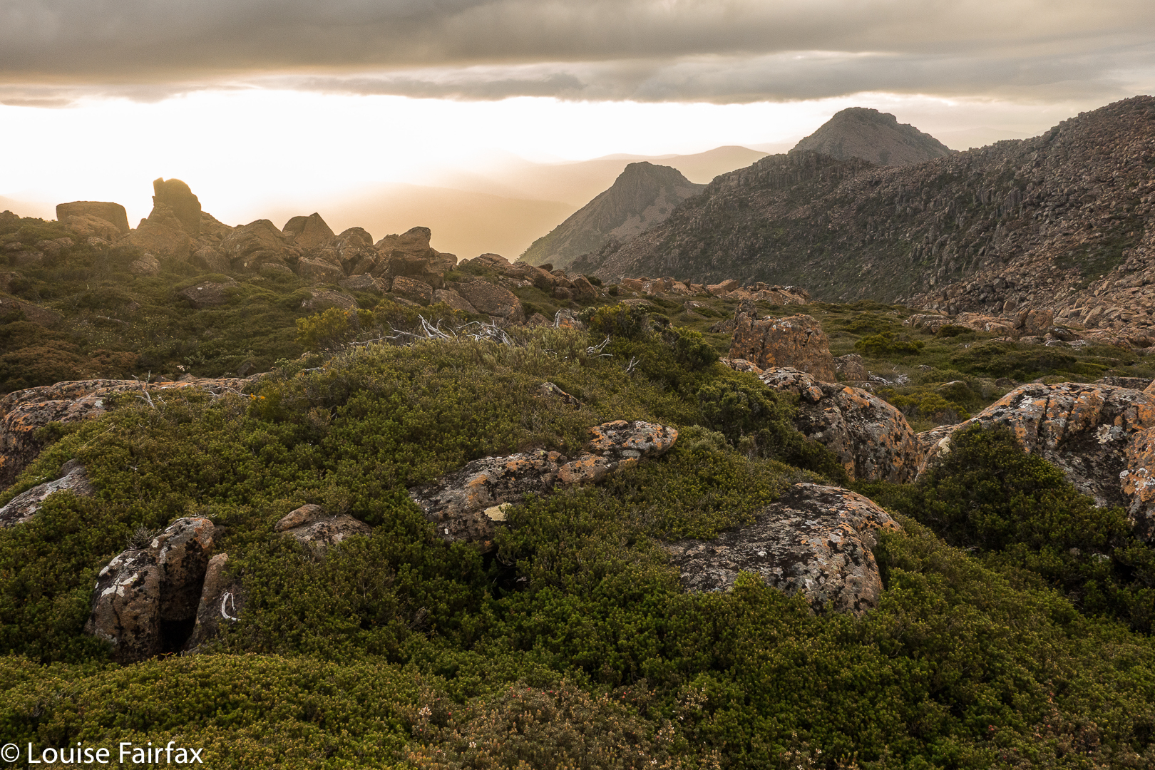
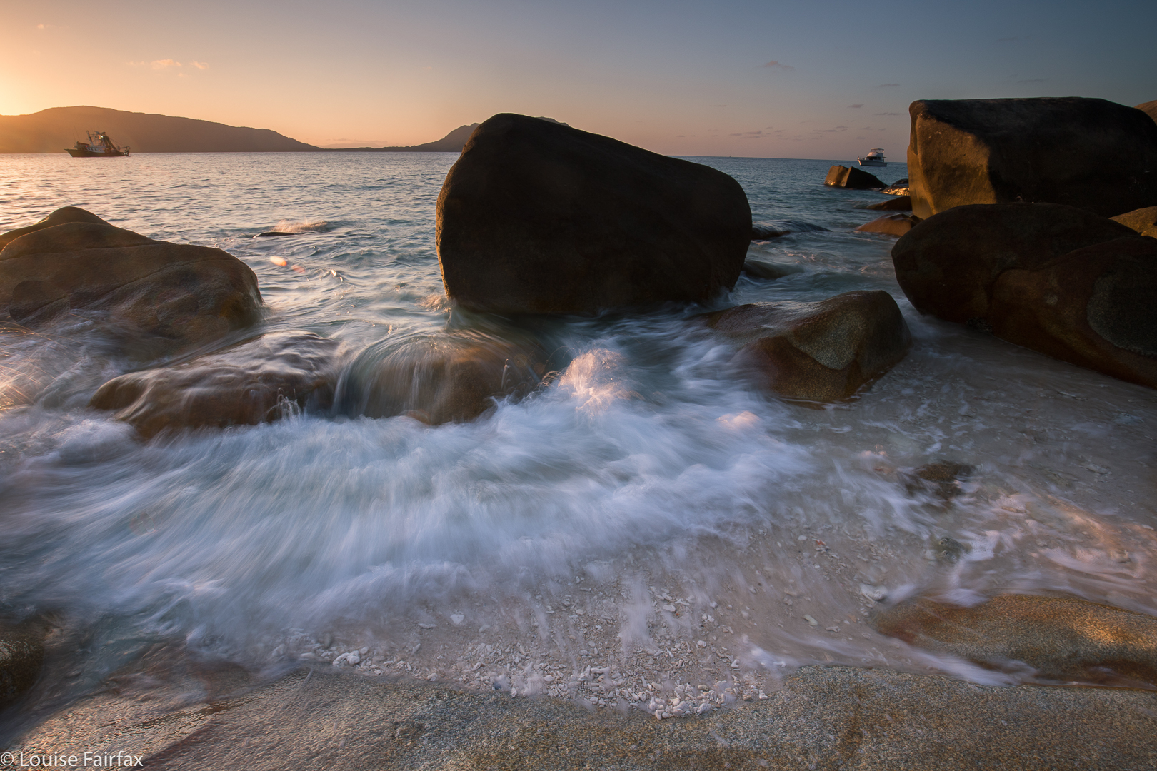
QLD 2017 Fitzroy Island Mt Fitzroy.

Queensland 2017 Fitzroy Island: a perfect family bushwalk.


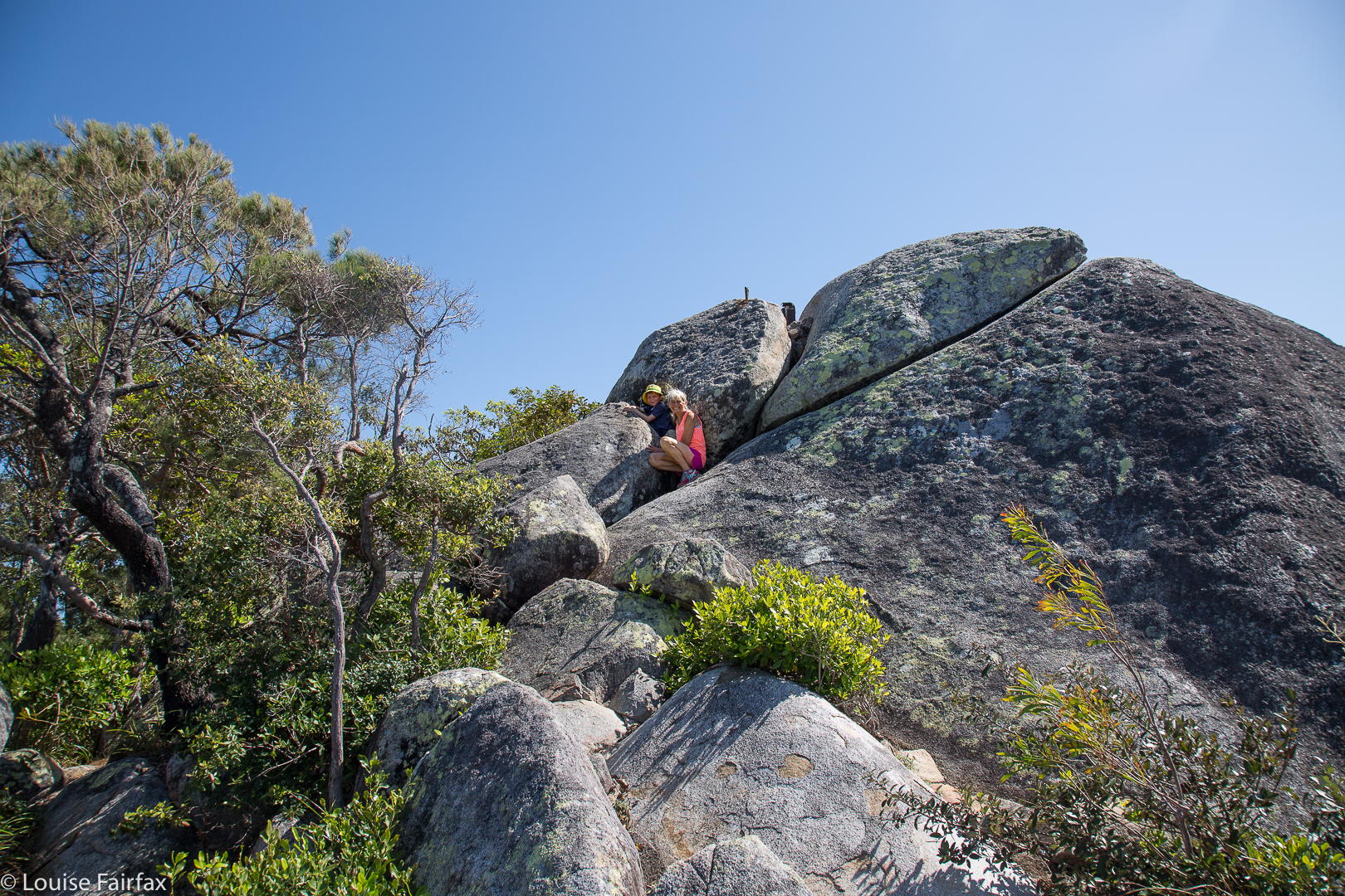
Gussy and I on the summit boulder clump.
It’s hard to find good mountains for a three-generational bushwalk. Toddlers  get heavy and it’s tiring lugging them up mountains. Meanwhile, the older sibling shouldn’t do anything too taxing. The normal rule of thumb is a kilometre for each age in years, which helps let growing bones develop well. And then, if one or other of the grandparents is starting to run into difficulties, this has to be considered. Our family found that a walk to the summit of Fitzroy Island was just perfect for our needs, given that we had Abby aged one, Gussy just turned six, and a poppa with Parkinson’s Disease with us. In addition, Abby’s dad was back at home,  so her mum had to do all the carrying; on a mountain of this size, that was perfectly doable.


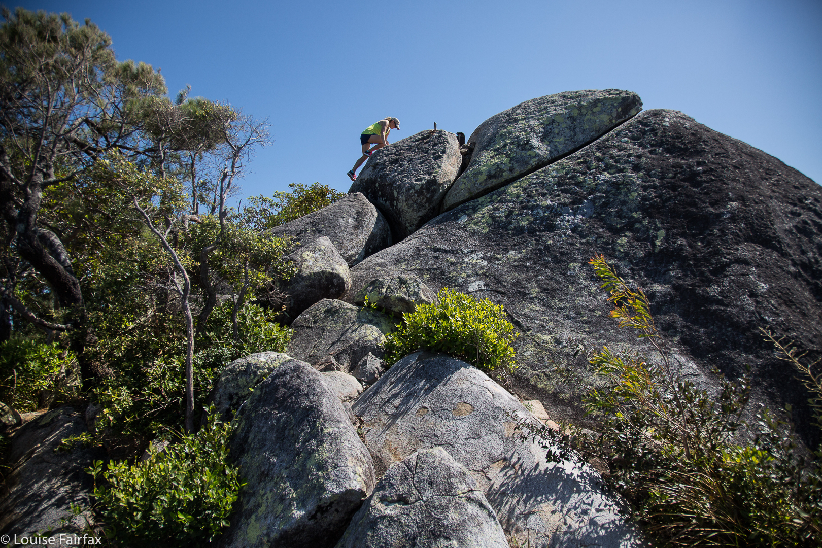
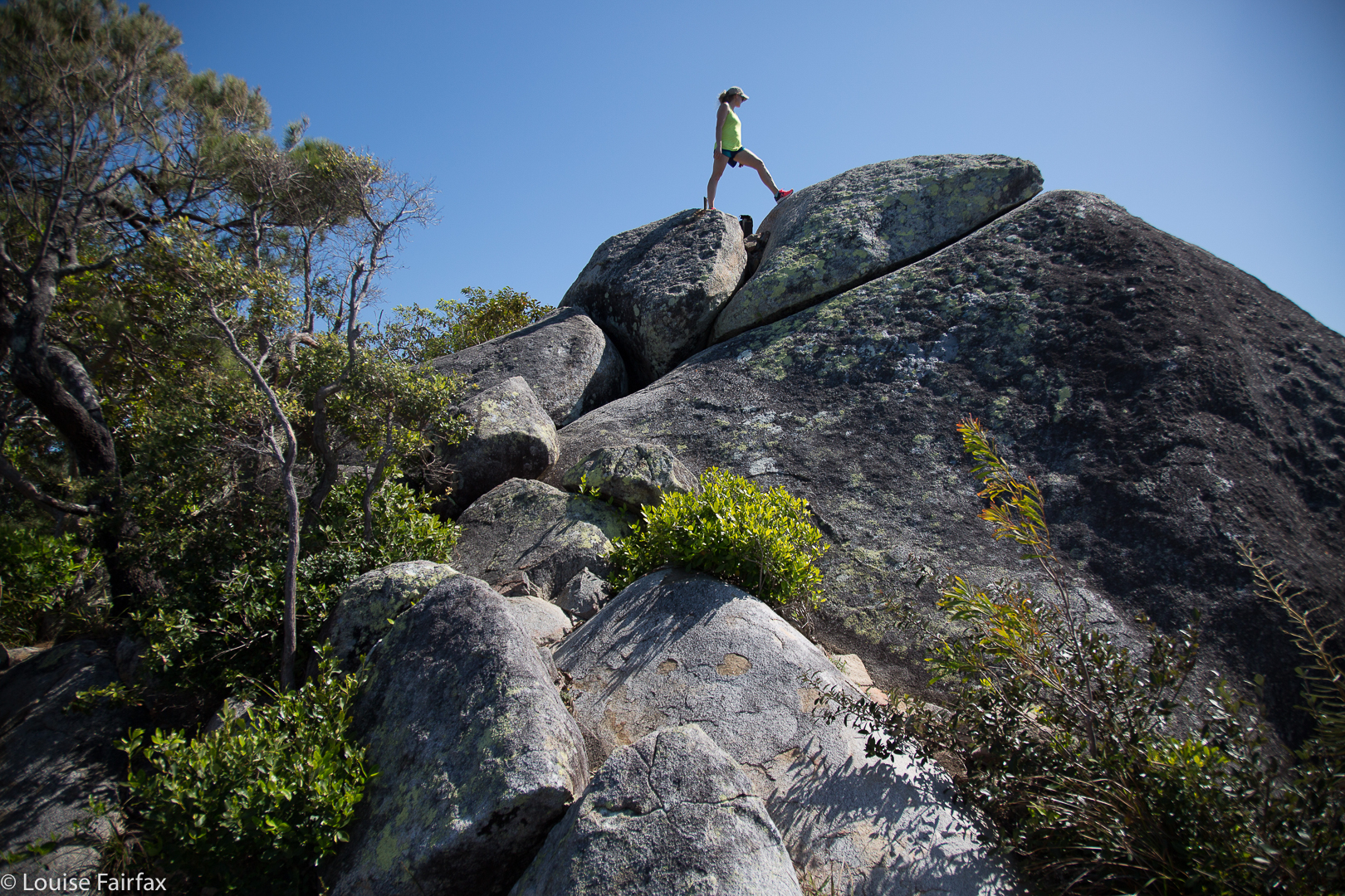
Kirsten scaling the real summit.
We began our climb out the back of the lodge where we were based, with a gorgeous view of the ocean and a wonderful tropical feel. Abby was not so violently interested in the view, but found the couches to be perfect for her ambition to later join the circus as a tightrope walker, and practised on the upper extremities of the backs. Abby really loves climbing anything, but this mountain was a bit high for her tiny legs.


I put in my usual request to be allowed to take the climb at workout pace and be sociable for the rest; my family understands this need. I set out running. Little Gussy took off running after me. Now, without boring you about my places at IAAF World Championships, can you just take it from me that although many years have gone by since then, I found it pretty amazing that this courageous little fellow was still in sight not far behind me after five minutes. It takes a lot of inner strength to run up mountains. Mountain Running can sometimes be seen as a battle of wills, and Gussy wanted to exercise his. But this is about a family bushwalk, and while we two were running, the others were having a lovely time walking up the slope, and looking out at the ever-increasing views over the bay, now far below, and back to mainland Australia. Gussy, red-faced and puffed, stopped sometime after I pulled away from him, and sat with a great view to wait for the others. A safe track like that provides opportunities for groups to spread out if they wish.


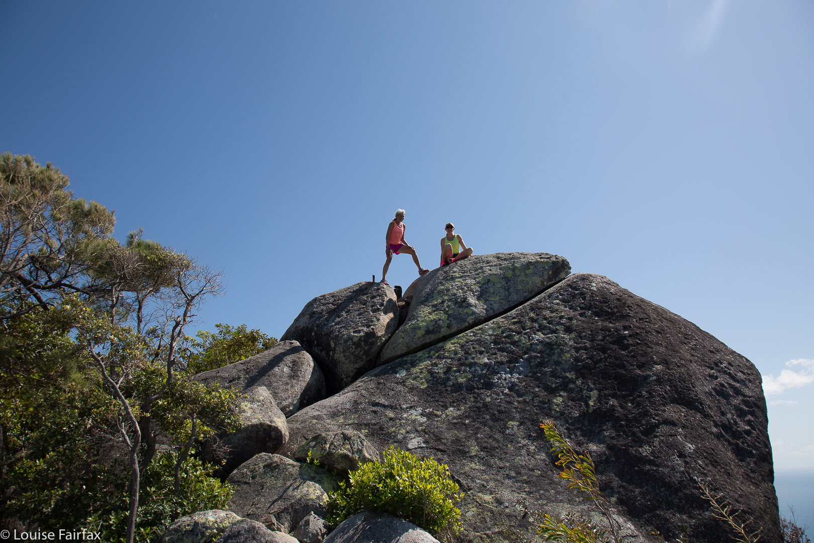
Kirsten and me.
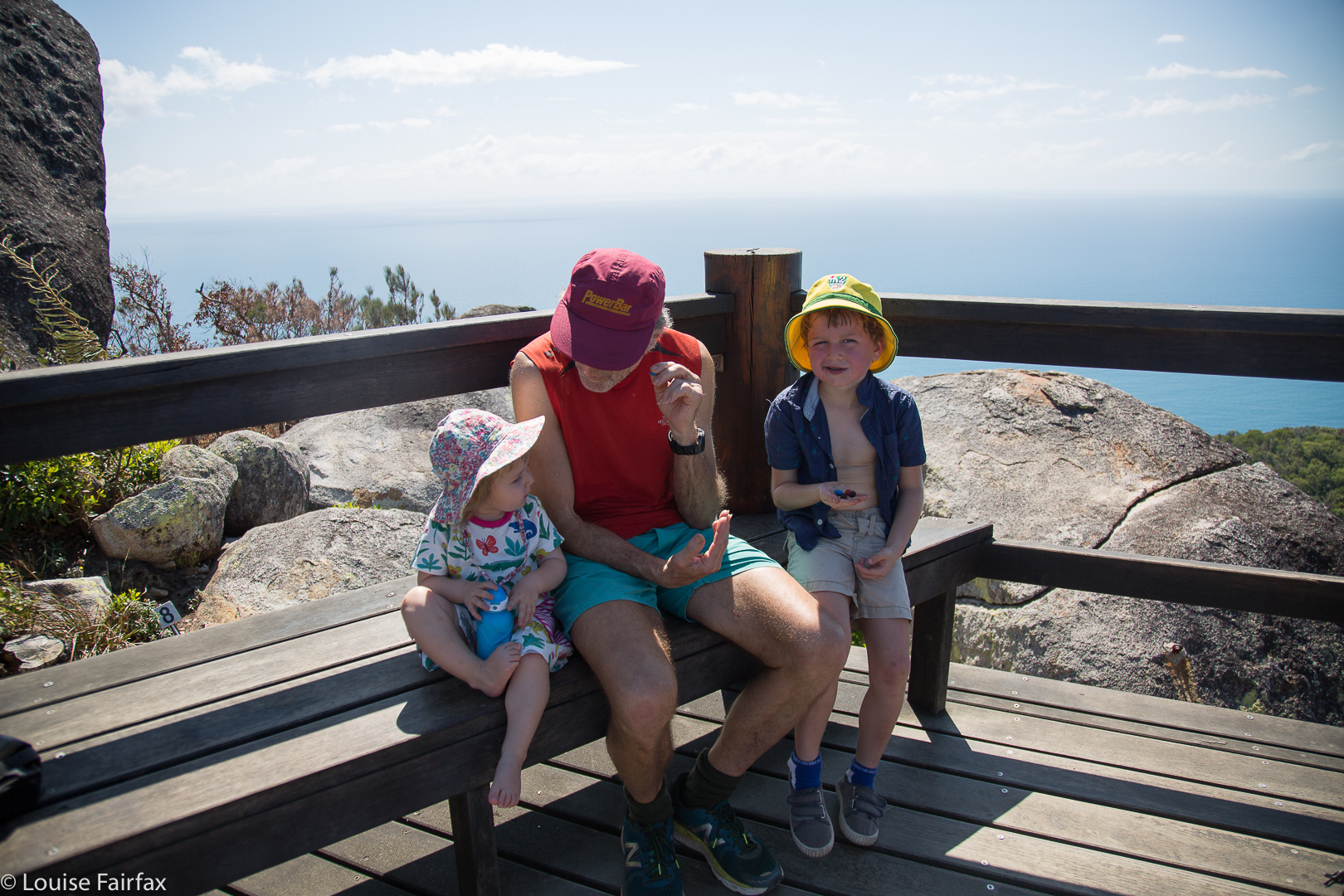
I ran back down to meet the others after I’d been to the summit, and joined in the remainder of their climb, with Gussy leading the family for the remainder of the route to the top. He and I went as high on the slippery granite final boulder as he dared before joining the others for a VERY IMPORTANT part of a bushwalk for infants: namely, chocolate and snacks on the summit. On this summit, there is a lookout (with other fun rocks to climb beyond), and seats. Everyone except me feasted on M and Ms. I’m more fussy, and wasn’t hungry anyway.


Snack time.
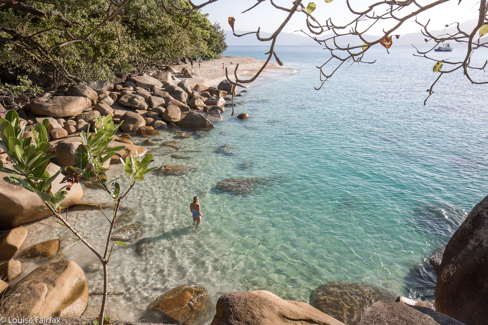
We elected to descend via the lighthouse track, which added distance to our walk. The first part is dry and quite open, and then, after the lighthouse, the rainforest coolness returned. It was great to see other families using this track. We were back in time for everyone to have a swim before lunch, but not before we’d visited the turtle hospital, and seen turtles damaged by careless human plastic and nets, now recovering in tanks before they could be released back into nature. Next day, we would have huge excitement, as we got to swim with wild turtles.


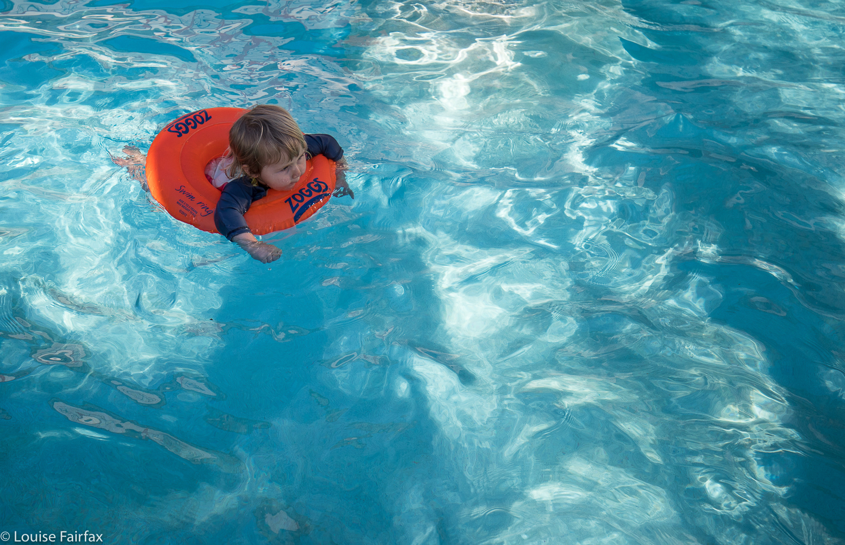
A fitting reward at the end. Abby afloat in the pool. Possibly cuter than a turtle, and at least as wild. Hopefully not damaged by plastic.


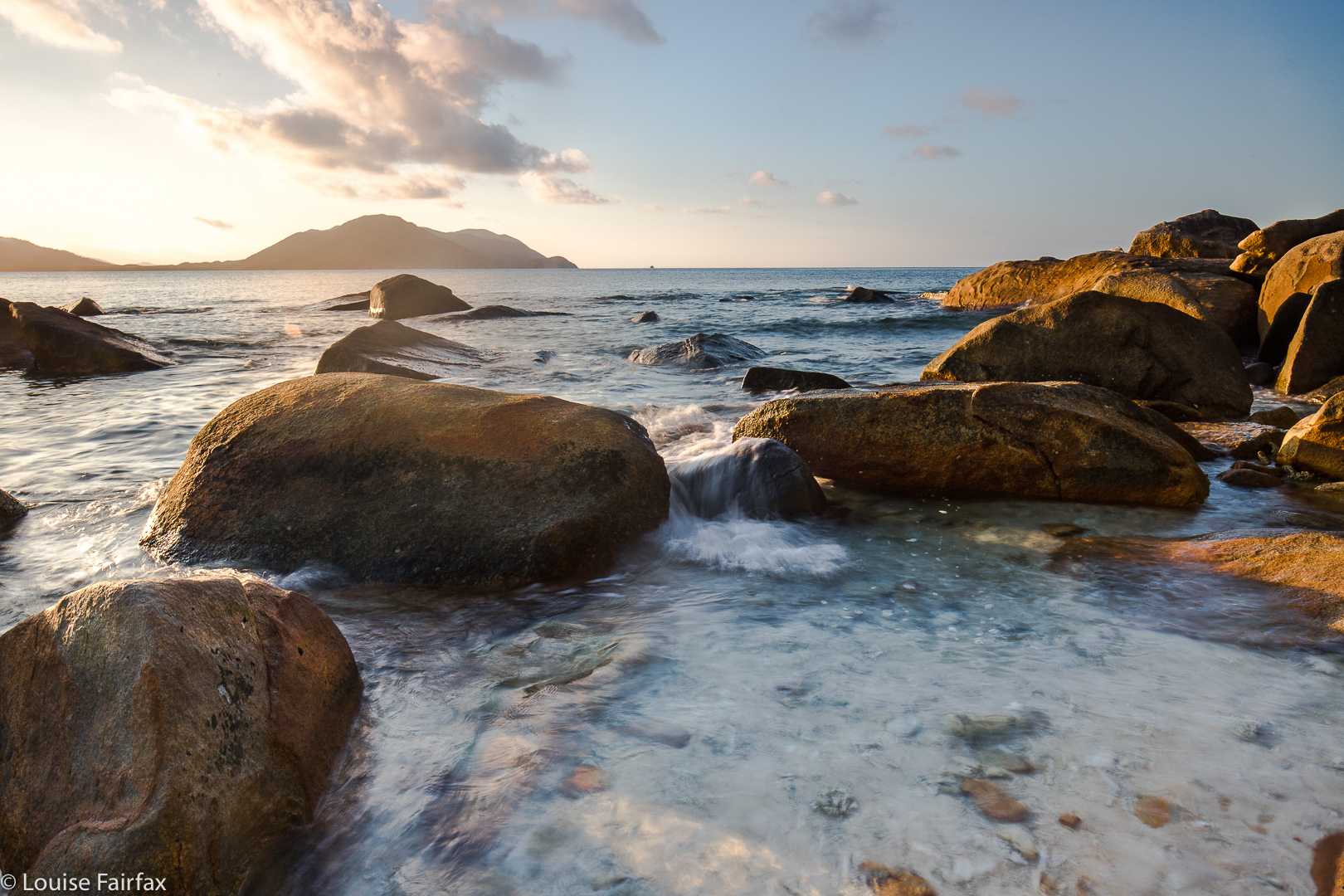
Dawn next day. I climbed up in the dark, power walking rather than running this time, lugging my many kilos of photographic gear.


Yelena watching out for more turtles

Picton 2017 Mar

Mt Picton. 31 Mar 2017
 

A “worthy” mountain – like Mt Picton – is like a good book that benefits from multiple readings. Each time you revisit the complexities of such a mountain, there is pleasure in a combination of reacquainting yourself with the aspects you liked the first time, with stimulation resulting from details you hadn’t noticed before, or from changes due to different conditions.


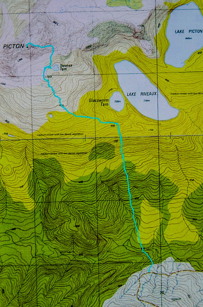
I loved Mt Picton the first time I met it, and have wanted to return ever since. The lush forest held a charm that never ceased to call me back. On this trip, I had intended to do a Picton-Burgess traverse, but had to change my plans due to family obligations. At least I had time to go up and sleep near the summit, so long as I hurried back down on the Saturday.


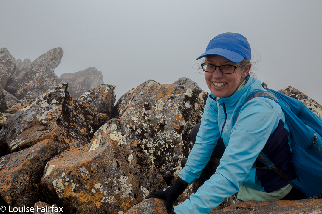
Carlin. Misty summit.
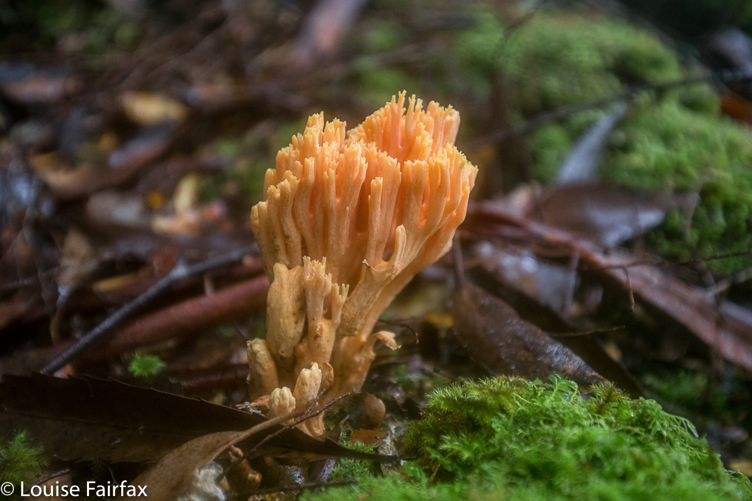
The river at the start was every bit as charming as my memory had it, and the forest as lush and green as I recalled. This time was slightly later in the year than my 2012 visit, which meant that plentiful fungi were about.
Last time, I had really enjoyed camping on a broad spur above Steanes Tarn, and climbing a knob nearby for better views at sunset. This time, I had to content myself with a spot right down near the water, as it was far too gusty and blustery to be any higher. There was no view, as clouds encircled the mountain, and the air had such a bite to it that I retired to my cosy tent before sunset (MOST unusual)!!


At 2 a.m., I was awoken by the sound of pelting rain (so I thought), and was airlifted by a few strong gusts of wind. I became quite glad I had to descend early in the morning. At 6.30 a.m., I was astonished to find a pile of white bordering the outskirts of my trusty tent. The pandani bushes abutting my vestibule had a coating of icy balls. The “pelting rain” had been sago snow. It was still unusually dark and the mist seemed quite thick. The wind had not yet abated. I was too wussy to leave the comfort of my tent, so cooked and ate my porridge, coffee and biscuits half in my sleeping bag, and packed everything from inside my tent, only emerging about one minute before I was ready to actually leave. What a glorious surprise when I poked my head out to find that the environment was white.


Snow fell as I edged my way carefully down the major boulder scree before entering the forest. The fungi in the moss down lower shone and glistened in their own captured water. Maybe next time I visit Picton I’ll get a full view.

Balfour 2017 Mar

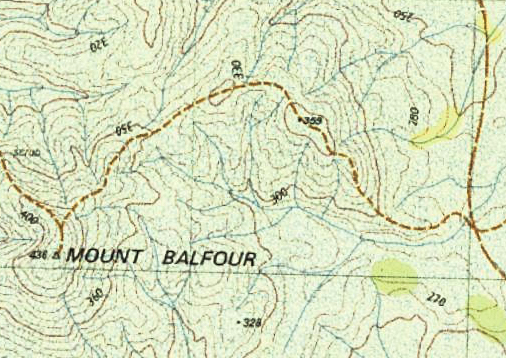
Mt Balfour, Balfour Ghost town, and Frankland River Walk.  Tarkine day 3.


After breakfast overlooking the Pieman River with its beautiful reflections at Corinna, we continued on our way north, driving for about an hour and a quarter at moderate pace to reach the foot of Mt Balfour.
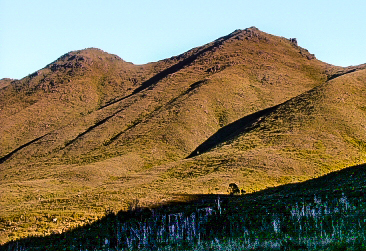
This mountain was short and very, very steep – so steep I was wondering how I was going to get my husband back down it. (He has Parkinson’s disease, if you are not used to reading this blog and find that an odd comment). Some sections you had to hang onto the grass to avoid rolling the whole way back down the hill. In fact, I watched a German girl girl doing precisely that as we neared the end on the rebound. She was wearing thongs, and had nothing to keep her foot attached to her shoe, so it slid out backwards. On the way up, I clutched grass and small bushes to avoid rolling backwards, and on the descent, I used the shrubbery rather than the ballbearinged 4WD track, as did my husband. He would have had a bad accident had he tried to stay on the track. The track just goes straight up, with no mucking around.

Steep it certainly was, but, as I said, it was also short, so I only took 27 minutes to the top – but 31 down. When you take longer to descend than to climb, you know this is a really steep slope. On top, we all enjoyed a snack just for the heck of it – because you snack on a mountain, even if it was only a tiny trip up – while some members girded their loins for the feared descent.


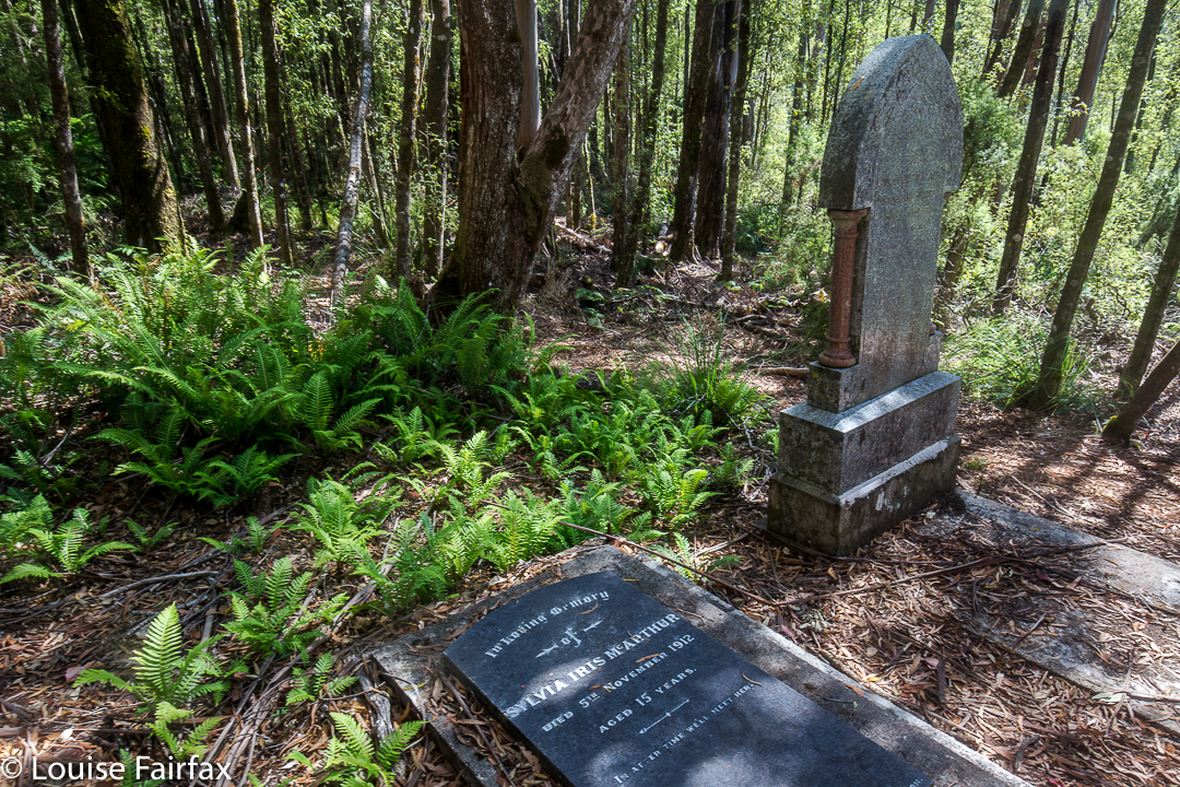
Next on our programme was a visit to the rather eerie ghost town of Balfour. Why eerie? For me it was, as apparently there are the graves of four hundred people who died in 1912 from typhoid. The “town” itself only has a few old tin shanties, but to think of such a large number of people living and working there, all quickly dead was rather horrifying. The doctor, whose grave remains, was only thirty when he died; Sylvia was fifteen. Most of the graves are no longer visible – perhaps there was just a mass grave at the height of the epidemic. I enjoyed the leafy tunnel that constituted the bulk of this walk, although the Frankland River, wild though it well may be, was not at its most attractive in midday glare. I didn’t bother photographing it, even though I did enjoy the leisurely stroll.


That night we slept on the West Coast, and that I DID photograph – with a vengeance. So many photos did I take that I’ll give the evening of Day 3 its very own blog (posted tomorrow).


Zeehan 2017 Mar

Mt Zeehan, Mar 2017. Tarkine trip, day 1.
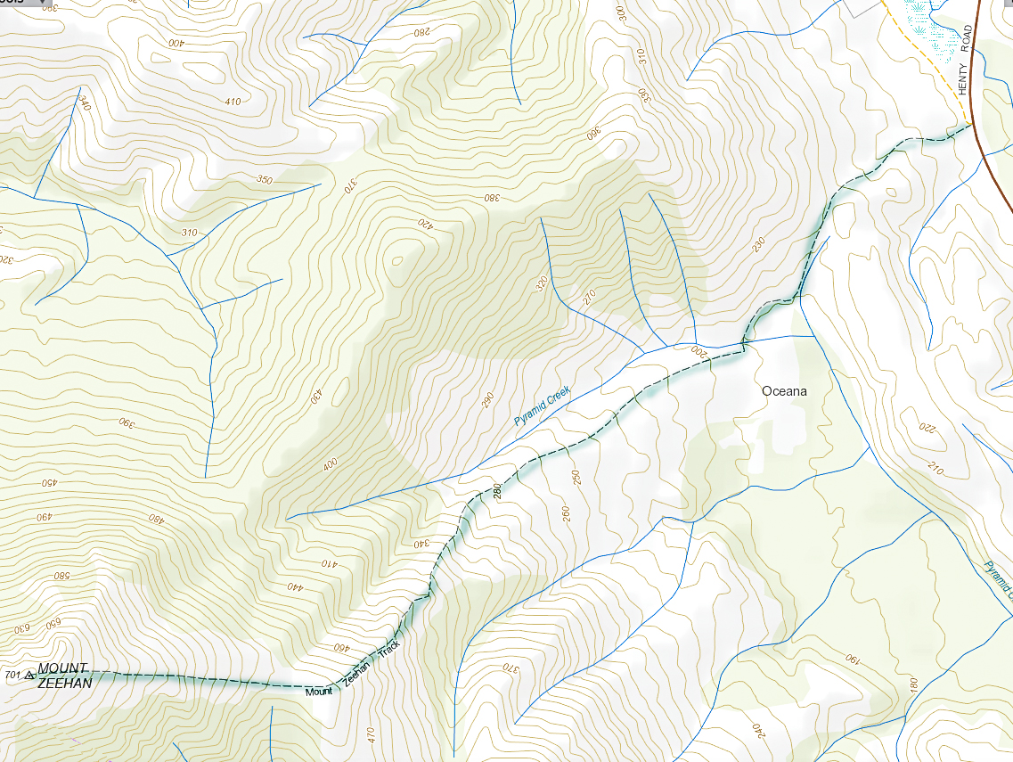
We drove 3 hours 15 mins from Launceston (plus a petrol stop), to reach the start of the Mt Zeehan track, which lies 3 kms south of Zeehan, on the Zeehan-Strahan road. It begins on 4WD track which is on the right (western) side of the road travelling in the direction of Strahan. After that quite long drive, I was itching to do the enticing-looking climb. The 4WD track that one follows – on foot; it is pretty rough – continues as far as a kind of dug-up, worked-over area, after which it morphs into a narrow path. Just before a cleared area, which could be confusing due to all the mess of “roads” and worked-over ground, the “road” you have been following forks. There is, at this stage of writing, a somewhat faded pink tape on the left of this Y. Take the right-hand option, into the mess and out the other side. Your path is the one heading for the mountain, which (on a fine day) is very clearly visible in front of you, slightly right.


Once the narrow track begins, the climb is quite satisfyingly steep (for those who love a good climb), through – as the picture above indicates – fairly open ground, until a saddle is reached. Although it is, indeed, fairly open, my husband succeeded in “mislaying” the track about a third of the way up. He just sat where he was and waited. Because it was so open, I could see his bright red T-shirt from near the top, so knew where to start looking for him. He knew I’d rescue him, so ate his lunch and dreamed a bit.
If he hadn’t lost the track there, he would have lost it in the saddle, for sure, as the flat area there is rather indistinct in terms of the track, and the vegetation gets a little taller. I’m glad he got mislaid in an area in which it was easy to spot him. Meanwhile, I was having fun getting in a bit of a workout, so just went up and down fairly quickly in order to both have some decent exercise for the day, and to return to him. The top was very, very windy, and most unpleasant – not worth a photo at all, the sea just being a hazy blur on this particular day. I’m sure that on other days, the vista would be marvellous. It never pays to climb a mountain in midday glare. I was the servant of another agenda on this day, so had no choice.
In its current state, I would not recommend this track for families, which is sad, as about 1-2 hours of secateur work would make it far more user friendly. Without that, however, any child under about twelve would have bush in its face for most of the second half of the climb, as the bushes have grown together over the track, and are at about the height of a primary school child. One climbs 600 ms in around 3kms (one way), so this is definitely a steep track.
The three hours return which is recommended is more than likely to be a good estimate for most people.