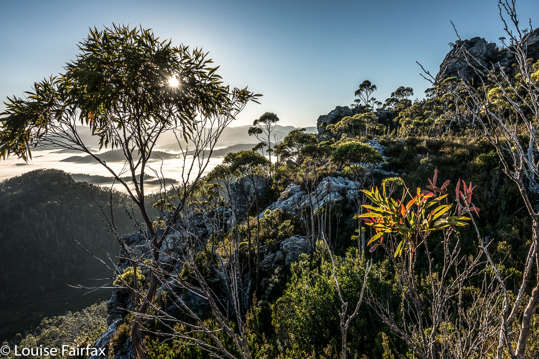
Philps Peak 2017 Mar


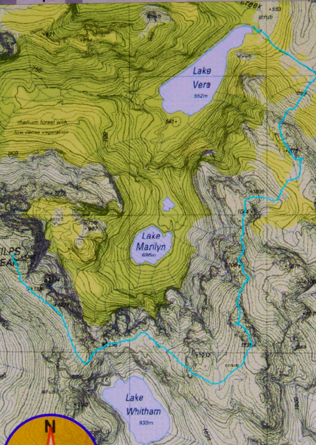
The story of Philps Peak begins as Day 4 of our Clytemnestra trip (http://www.natureloverswalks.com/clytemnestra/). On day 3, we had planned to climb to a beautiful spot near the summit of Agamemnon, but, most uncharacteristically for me, I had argued that the day was so stinking hot that it would take us hours to lug our packs up there, and that there would be no water for a day and a half if we went there, so we’d be better camping at the hut (Vera) and doing the climb as a day walk on the morrow. Angela agreed, but not with enthusiasm.
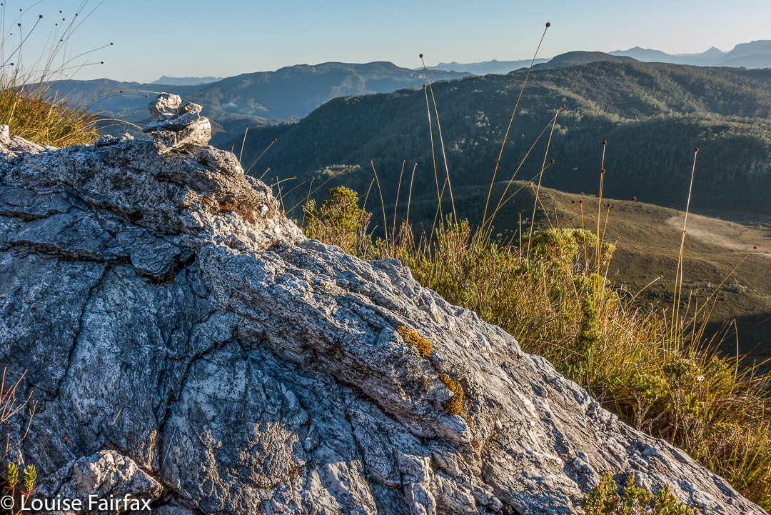

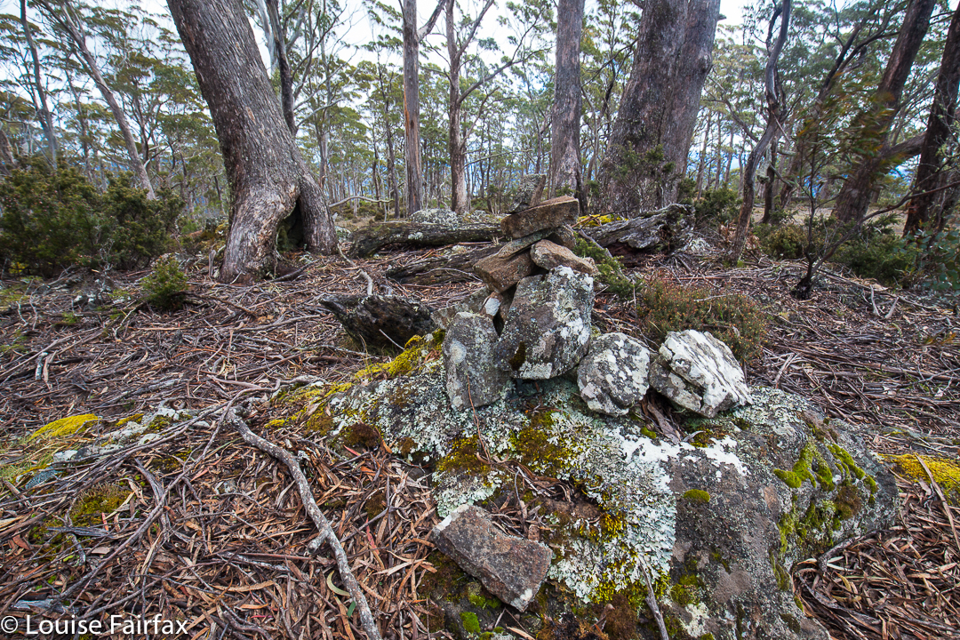
This little cairn marks the top of the first chute one climbs up on the way to the first hop, Agamemnon.
We chose a really beautiful camping spot – that is, the scenery was nothing particularly special, but the spot was secluded, set in forest with enough shade to cool but not enough to be dark. Birds and paddymelons visited us. It was just a very, very peaceful afternoon. Past ranger, Terry Reid, had donated a few bushwalking magazines to the hut, so I browsed through them, sitting in the forest on one of the many log-seats available, and organised my pack for the next day and chatted to the new people who later arrived at the hut and came past our idyll on their way to have a swim. I also had a lovely walk going back to the stream where I had noted that there was a waterfall that could perhaps be reached with a tiny bit of an offtrack detour. I was joined in this by new friend, Kent from Queensland, who also liked waterfalls and fungi.
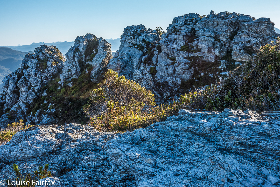

We call these rocks The Four Ugly Sisters. They lack a name on the map. One heads to the left of them on the approach side.
On summit day, we set out nice and early to get in as much distance as possible before the real heat dominated the day. The light was superb, and we had about two hours where the air felt fresh and the light was clear before heat and glare took control. This means we got to the summit of Agamemnon – and even beyond, to where you first have to lose some height – in pleasant conditions.
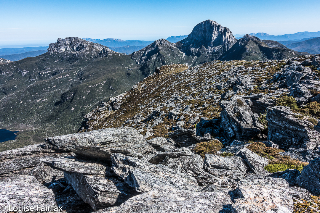

Summit view. That’s Frenchmans Cap and Clytemnestra (far left) dominating the scene.
In between Agamemnon and Philps, in a saddle before you climb up onto the main ridge that leads to Philps, we found a truly nasty bit of scrub, where the forest was dense and unbendable and a pain to get through. At least the scoparia wasn’t scratchy (too tall for that), but it sure resisted our attempts to push out to the other side. This hiccup didn’t last too long, however, and we have both endured much worse than that, so it hardly marred the day irrevocably, even it did detract from perfection. There must be a nicer way through that stuff, but we didn’t find it in either direction. It occupied maybe thirty minutes of our time each way (guesstimate – I didn’t look at my watch; it felt like that amount of time, but maybe it was less).
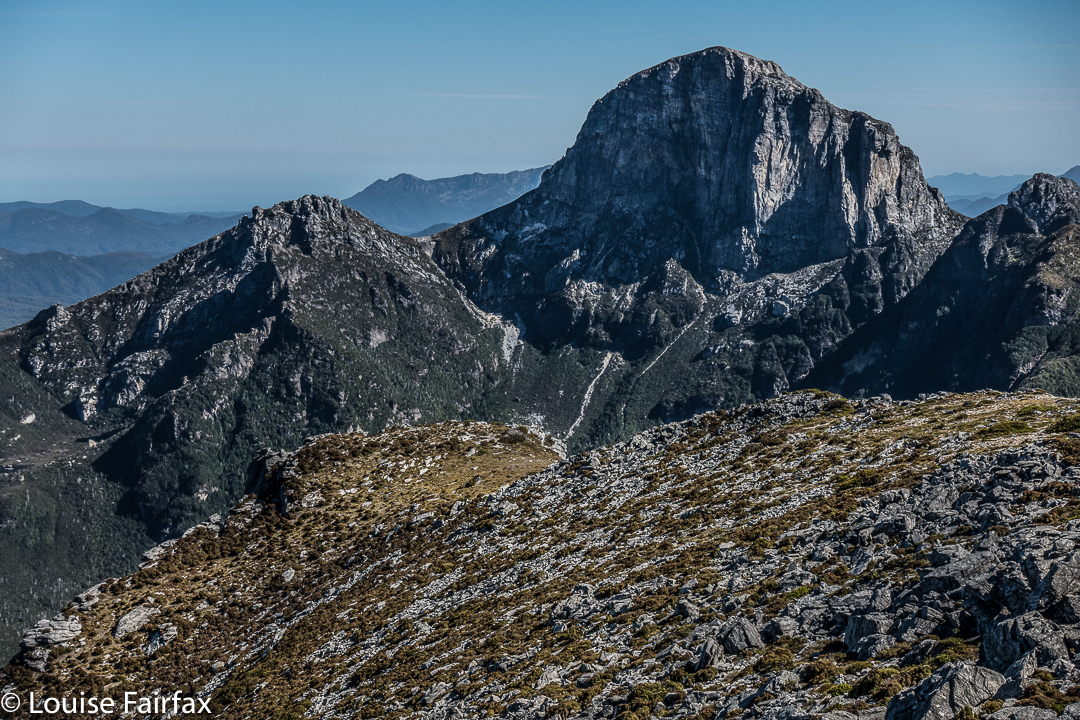

Frenchmans Cap in all its glory from Philps. What a grand hunk of rock.
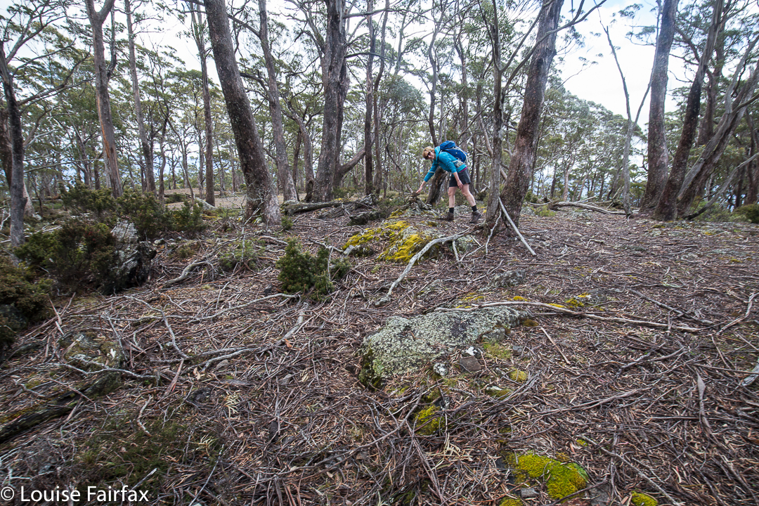
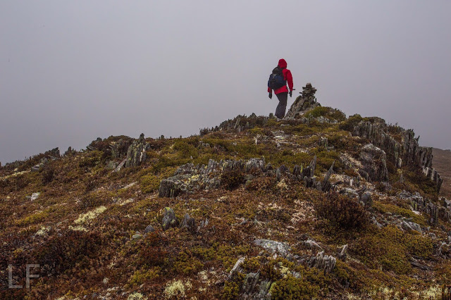
Once we’d negotiated that obstacle, there were no more difficulties. We climbed up a chute to the high ground of the final ridge, and walked along its pleasantly open line to the final summit climb, which was not challenging. The sun was right in my eyes every time I looked up to try to see where the best line might be. That was perhaps the most difficult thing we encountered.
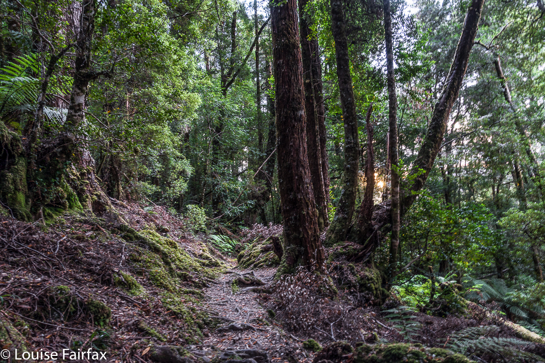

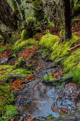
Forest next day on the way out.
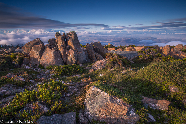
On top, the view was amazing. I couldn’t believe how far visibility extended. There was Barn Bluff, days and days away, and Ossa, Pelion West and East, High Dome, Byron, Cuvier, Olympus. So many mountains normally not seen together, separated by many days walking if you are on foot. It was grand.
We tried for a better line through the junk on the way back (of course), but I think this one was even worse. I got so entrenched in scoparia limbs that I had to take my pack off and push it along the ground in front of me while I crawled under the unbendable tangle of wood. I thought for a tiny while that maybe I was going to spend the rest of my shortened life right here. No direction offered the possibility of movement.
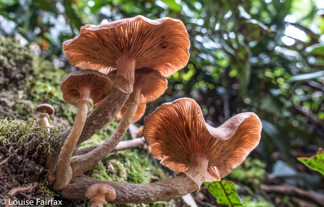

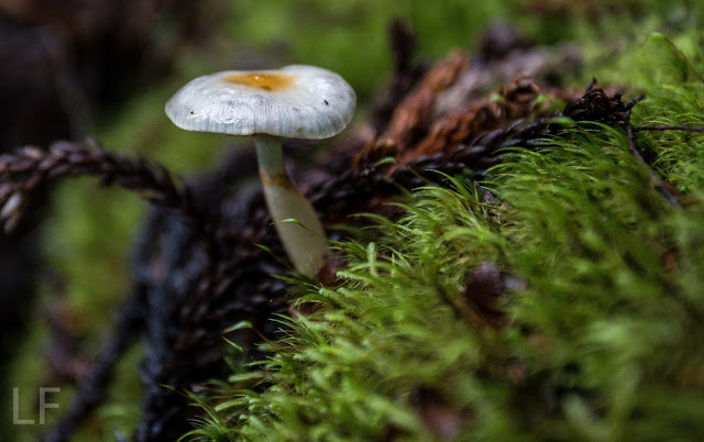
Yes, a few courageous (or ignorant / mistaken) fungi are out already, having heard that it’s autumn and not being aware that summer has just arrived.
Apart from that insult, the way home was uneventful. I was looking forward to a swim (yes, this is Louise writing) and ridding myself of these stinking clothes full of forest debris that had fallen down my neck as I tried to push a path through the bosky barricade. In the end, of course, I wussed out. I sat beside the little beach in my undies, staring at the cool waters, but letting the gentle breeze that caressed my bare skin do the job of cooling me down in the dense shade of that spot. It felt like a swim, but didn’t have the inconvenience of wet gear.

Spion Kop 2016 Oct

Spion Kop 2016 Oct

Spion Kop is a great mountain to climb if you are sick or about to be sick. You drive to within four non-taxing kilometres from the summit, have a pretty pleasant, low-key stroll through the forest, some of which is on a now-overgrown former logging track, and then a little scaling of some contours and you are there. I had been in bed for a few days leading into this walk, and Angela was about to get sick the next day, so this mountain was a perfect little excursion for such conditions. Rain threatened and materialised just before the finish, but even if it had come earlier, this is a short enough climb for that not to matter much.

Summit cairn

Needless to say, it was not an exciting mountain, but it was still a different taste on the mountain smorgasbord.

We climbed in using the road shown above that approaches from the north, winding around and ascending all those contours. We then took an unmapped offshoot that was going where we wanted to walk, but which ran out where our route starts. The outward route was the more northerly one; the homebound route found more old roads to pursue.

Brewery Knob 2016 May

Brewery Knob.

 Cortinarius levendulensis.

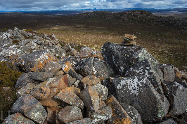
Angela in her new (unmarred) red anorak approaches the summit cairn

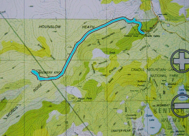
The weather map looked very colourful (= lots of rain forecast) for the day of our intended walk, and high winds were also predicted. However, Angela and I were more than keen to climb something – anything – despite the weather, so took a look at our options. The map ruled out anything south or west; east just didn’t call us; so we settled for north of central, and chose to re-climb Brewery Knob, which fell into a Goldilocks zone: not too high (i.e. windy), not too long a drive … not too anything really, and a nice little mountain sitting there at 1293 ms asl, protected a tiny bit by bigger friends close by. It got the foul-weather guernsey.

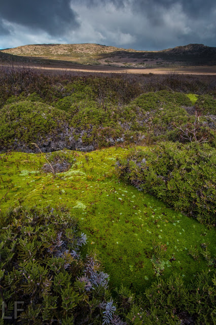
We came back the way we went out, and I’m glad we did. It gave us longer on this half-hour stretch of open moorland which we found to be fun.

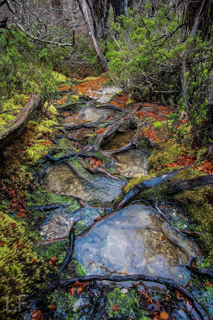
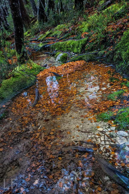
Good choice. It was a perfect mountain for the conditions. First, we climbed through a stretch of rainforest that is always rich and glorious, but especially so at this time of year when bright orange pilelets of fagus leaves clump together, attractively caught in the interconnected mosaic of shining roots that make mini-swimmingpools along the track. The contrast between the burnt orange leaves and the lurid green moss makes for a mesmerising beauty. We both vowed to do some photography on the way back down, but I am a goal-centred person, so we stuck to the programme of climbing first, games afterwards (not that climbing isn’t the grandest game of all).

The path

As we changed gradient and forest type (after a tad under 30 mins’ walking), and took our first steps on the open Hounslow Heath, the expected wind hit us. On went coats, windproof gloves and more as we leant into the wind to continue. It was so loud – whistling in our ears and bashing our heads with its force – that conversation was impossible.

Similar to the first time I climbed this Knob with my husband, we struck a small band of thigh-high scoparia once on our compass bearing for the final part of the climb (the bearing revealing a slightly darker shape in the mist that we took to be our mount: I have yet to actually see it). We passed very cautiously through, both of us nervous about pin-pricking our beautiful new anoraks. Once on the plateau on top, vegetation was only about ankle high, and we were free to enjoy the huge sense of space made possible precisely because we could see nothing, but could feel infinity in the distance.

We were both delighted by our choice of mountain. It was perfect for that kind of weather, and, well, there’s a lot more to a mountain than the view it offers. The summit cairn is very attractive, and the feeling of being in a wild place, marvellous. It almost felt as if we were the only two living souls left on earth up there; it’s wonderful to escape the treadmill of modernity with its reduction of creativity and freedom, and its terror of risk and litigation that stifles every move and suffocates being kind and decent to one another.


Wild Dog Tier 2016 Apr

Wild Dog Tier 2016 Apr

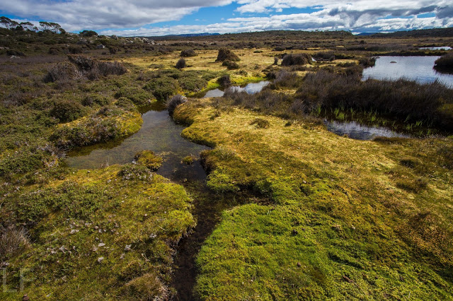
An early view of my mountain after I had climbed the first swag of contours and emerged out of the forested slopes.
I have never heard or read anything about Wild Dog Tier that has made me itching to turn up at the start line (other than the fact that maybe I could take my own wild dog with me, but she is too portly to get up even this mountain). I have always pictured a dull canvas-green landscape with equally dull taupe scree, and that’s essentially what I got. There are few dramatic points on the horizon, although Quamby Bluff made my life pleasant on the homeward journey, and every now and then I could see well-delineated cliffs to the west for a bit of spice. I had been hoping great things of Sales Lake by way of redemption from this expected monotony, but it failed to deliver.
Summit cairn

 So why on earth summit a mountain that has so little to offer? Because I am a completer of things I have started (my dinner, bad books, almost anything). I have started this Abel List (which contains mountains), so I am in its thrall; it is a Pied Piper calling me to finish what I have begun. In addition to this mindless slavery to a list is the fact that I believe in variety. I don’t eat my favourite meal every night, or only stare at my very favourite photos, or keep reading my favourite book ad infinitum. I risk experiences that will not match up to the best, and, if nothing else, this enhances the merits of things I love most by comparison – and it makes my life richer. And I love expending my energy – even on Wild Dog Tier. It was a fun workout in a different place.
In case you haven’t done it yet, please don’t let me put you off. It wasn’t bad in any way; it just wasn’t exciting or special.

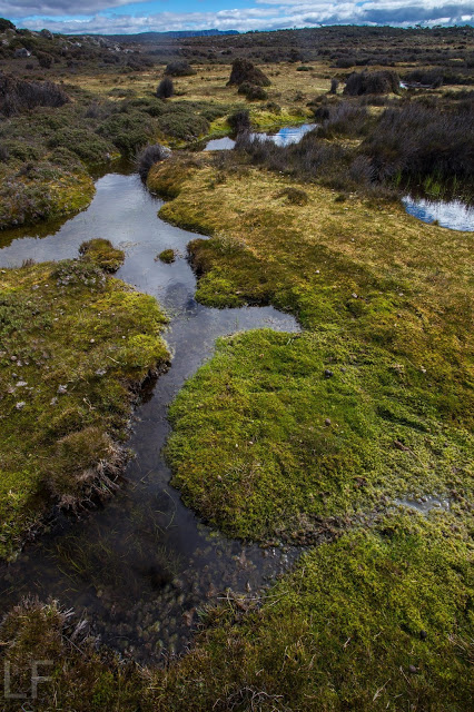
Possibly the prettiest moment of the trip, after I had descended to the plateau surrounding the lake.

 My experience was greatly enhanced by Tortoise’s recommendation to go via Sales Lake rather than the normal route. This meant I got in some extra height gain over the normal route (which pleases me) and much of this was through quite nice, albeit a little dried out, myrtle forest. I had ascended from the car up onto the plateau and reached the lake in just over forty minutes. The mountain was now visible, and didn’t seem all that far away, but the ground was soft, so I knew it would take longer than expected. Indeed, this next section took 1 hr 12, still placing me on top in under two hours.
The way down was a bit faster, which meant I was back home in Launceston for a late lunch. I even baked an apricot tart for desert to help replace calories.

The most “exciting” part of the trip, if one needs this to be satisfied, was negotiating the hole in the road mentioned by my helpful advisor. She had said it was marked with a taped stick, so I saw it coming and got out to inspect it before I drove past, as her description had been accompanied by faces suggesting great fear. The hole was deep, but also easy to get around, so I drove on, puffed up with pride. Timorous tortoise; that was no problem. However, in one more kilometre (roughly) my hubris was cut short. Here were two holes, placed in such a way that whilst swerving to avoid the second, your back wheel was sure to fall a meter down into the partially passed first. I got out of the car at least four times to check my progress across this trap. Nervous Naturelover was not very comfortable, and thoughts of the retry invaded my mind for most of the walk.

On the rebound, however, I managed to squeeze through, keeping left wheels to the left of the first hole and right wheels to the left this time of the second one. Much easier. I didn’t even get out more than once to check.

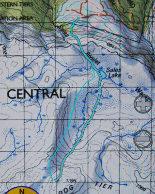
Route 1:100,000
 
Road approach (Bessells Rd), with hole waypointed.

Wellington 2016 Jan

Mt Wellington 2016 Jan


I had been feeling guilty for a while that I had never turned my photographic attention to Mt Wellington. It is an Abel, after all. All I’d ever done was run up her, endlessly, in wondrous dreamlike runs where the world and all that is in it was temporarily forgotten while I floated to her summit. I loved my training runs on Wellington (or anywhere. I was always in a trance while I ran, and was in some very far off place. I still am, for that matter. Running is my “time out” from the world, where I can refresh my should for the next round).


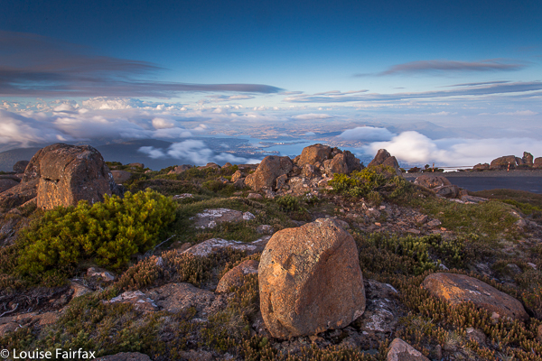
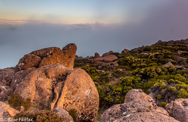
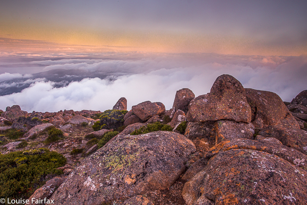
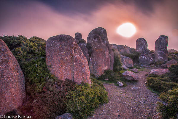
However, now it was time to come to the top by car, and to bring my tripod, filters and lenses to see what this evening could give  me and my camera. This is what I got.


At first, it was pretty nice, but then it seemed that it was just going to be a grey fizzer. I actually packed up and was in the car when all this pink came out. I had to do the most hasty set-up imaginable and chase the syun and the pink across the mountain. It was rather fun.