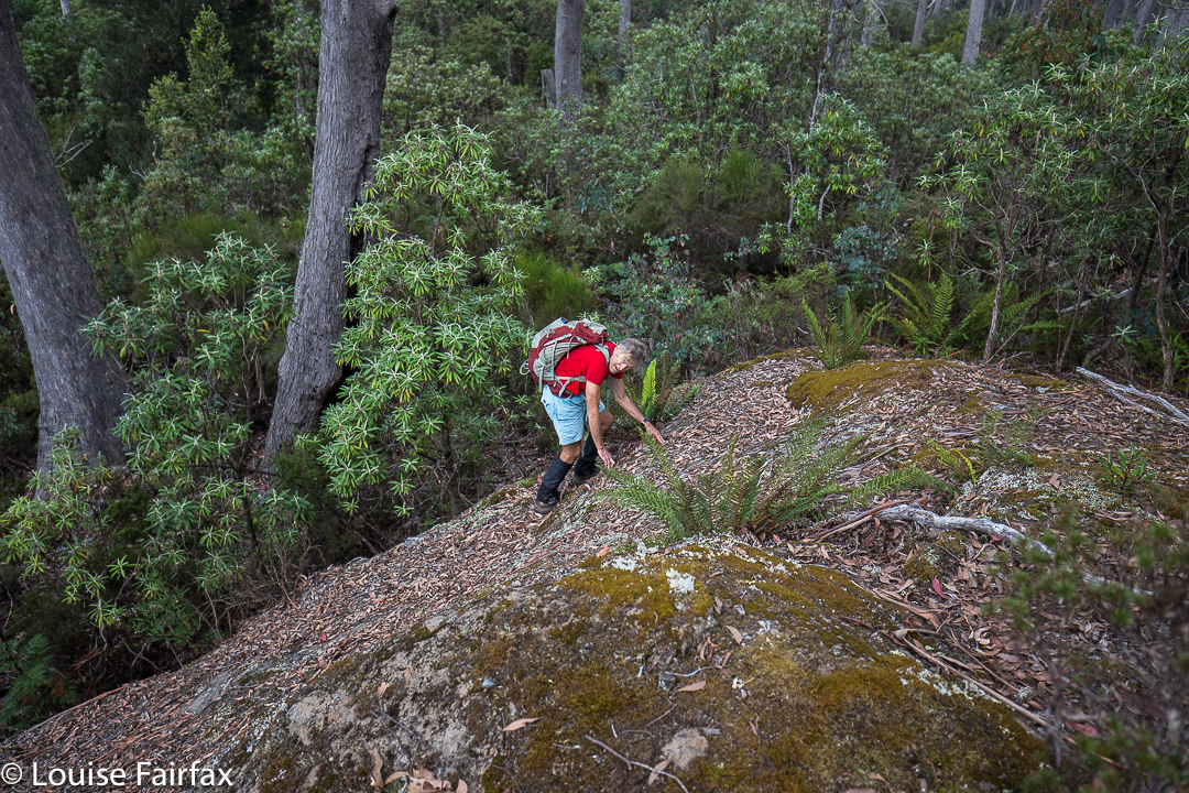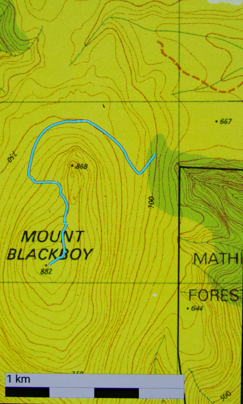
Having once climbed Mt Blackboy by the easy route, I was not all that interested in a repeat, but today we took it head on and did a traverse along the high rocks, and that made it a totally different and really fun experience.
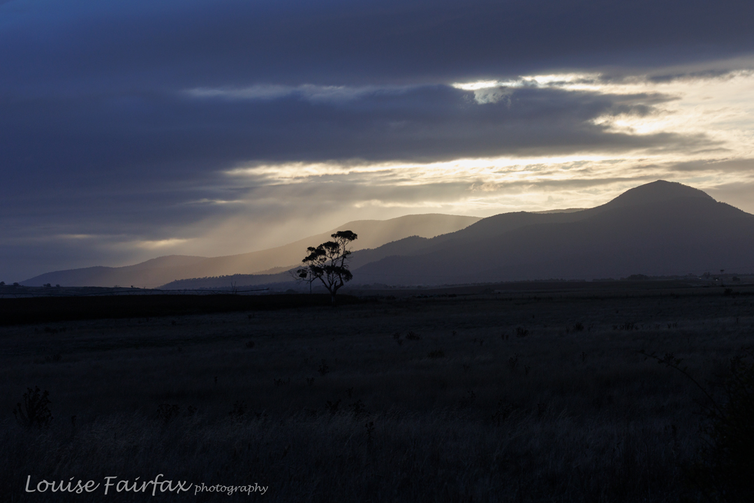
Not only did we attack the boulders from their most challenging angle, we also began way, way down at Mathinna Falls, giving us a climb of over 500 ms in the process, and not from the nearest road access as is normally done if you only have bagging in mind.

The actual climby bit was probably only about 2kms horizontally. Do your maths: that’s STEEP. People from our small group were falling and slipping the whole time. It only counted as a fall if you landed on your bum or worse. I was relatively unscathed with only three falls. Several of my friends got into double figures. One specialised in quite spectacular landings.
Even just standing talking waiting for the rear to catch up, you kind of slid down the slope unless you grabbed a sapling to prevent the descent. I was sure I spotted a flat bit of ground somewhere down below (and John backed me up); this became a source of many jokes as we tumbled our way downwards.
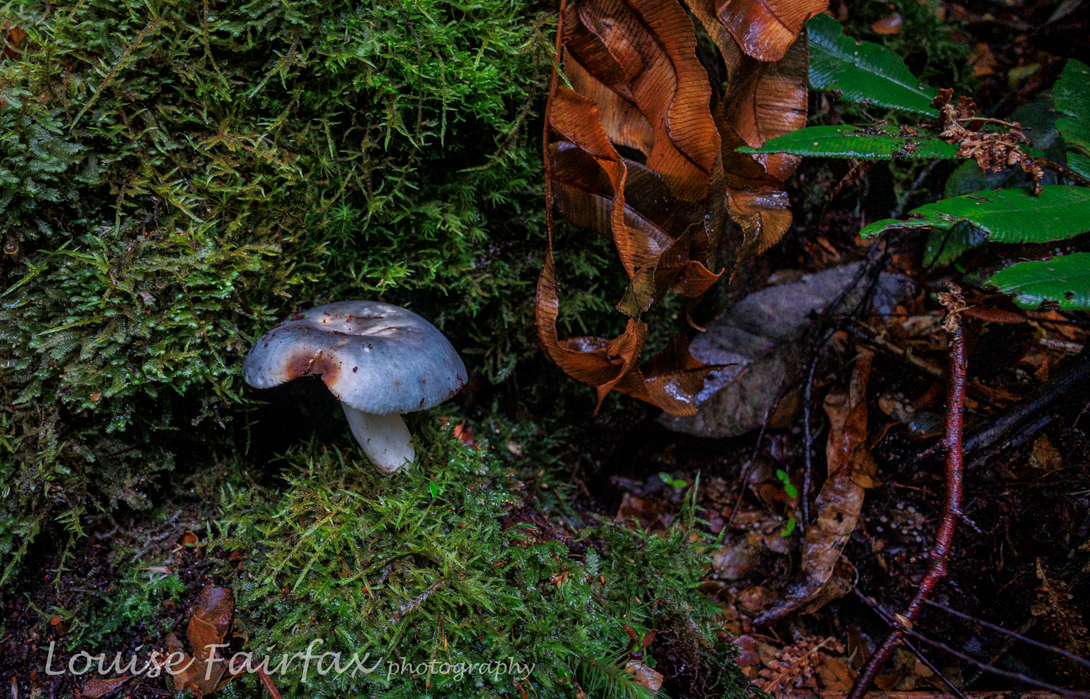
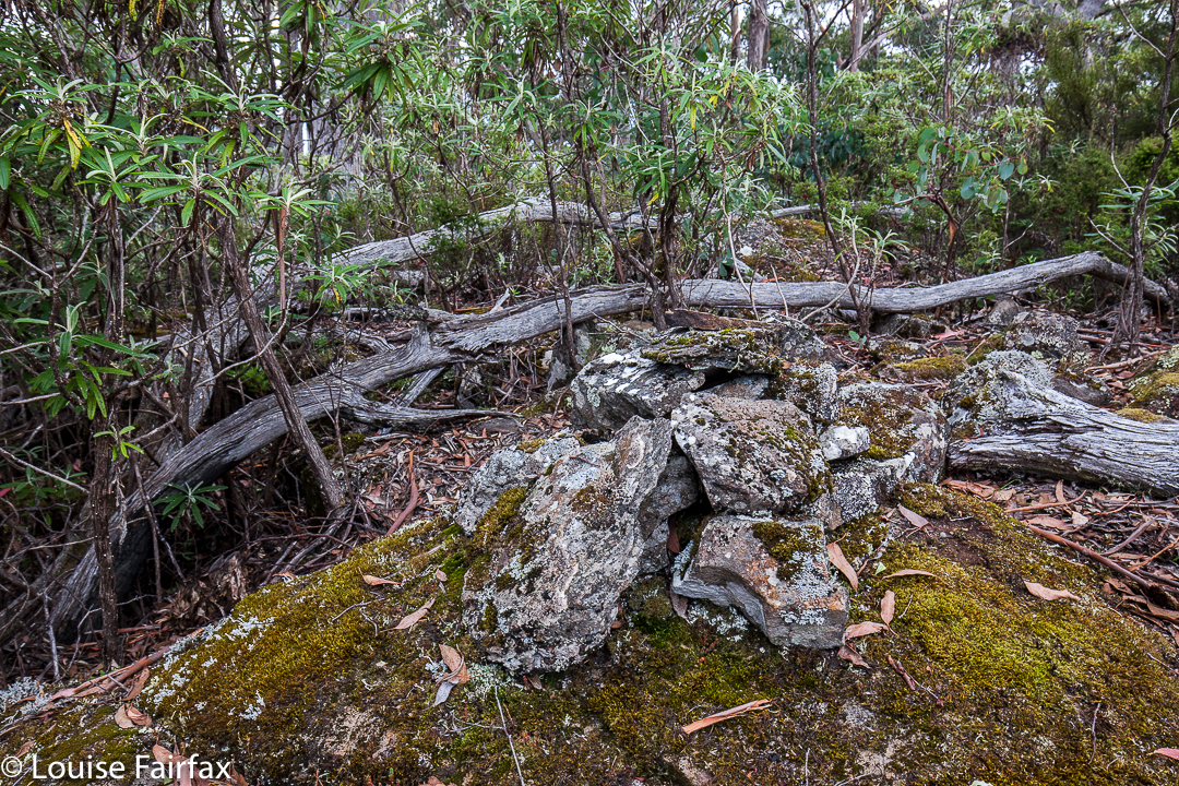
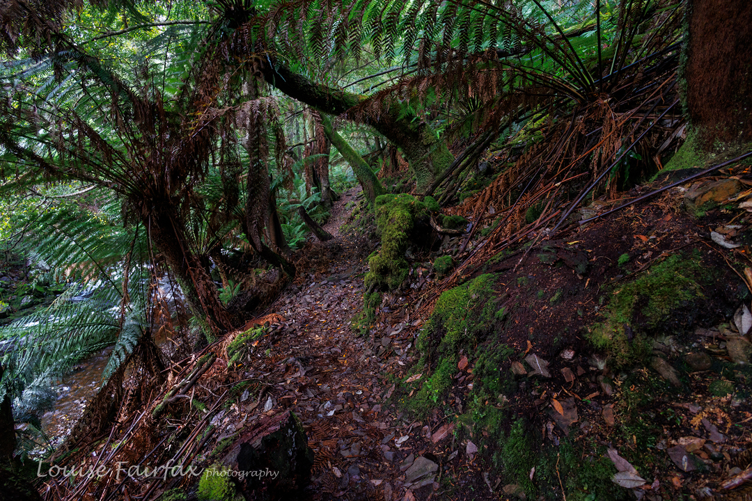
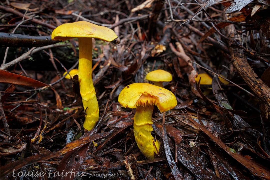
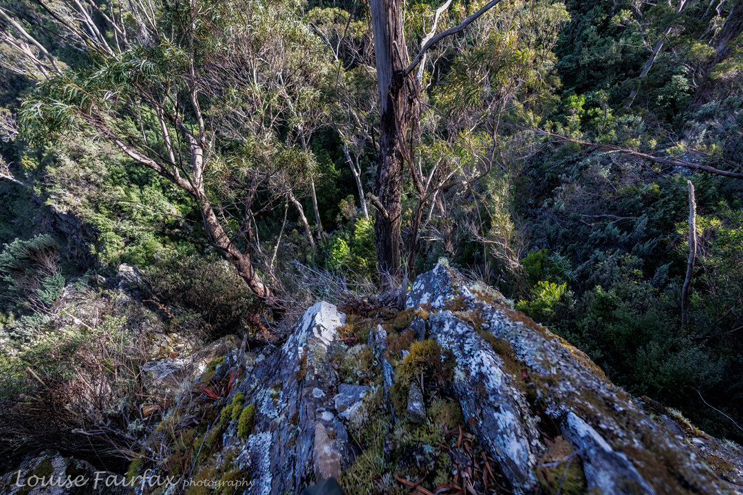
Sorry for the lack of photos of rocks and forest: when you are above your head in ferns, it’s hard to get a shot, and the rocks were reached in midday glare, which I don’t find conducive to pleasing photography. I leave the massive and alluring boulders to your imagination. Meanwhile, if you know me, you know I love fungi.
I was quite proud of how clean my pants still were at the finish – ripped and muddy pants were the norm by the end of the day – until I got home and discovered a huge red patch base right, courtesy of a hitchhiking leech.
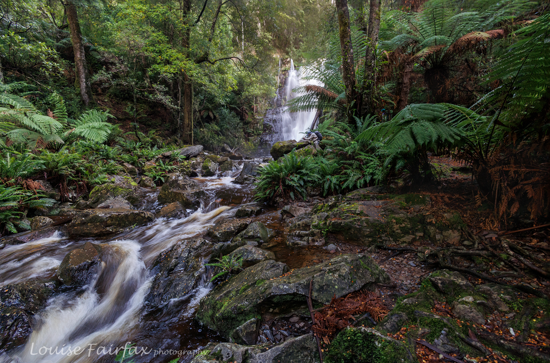
We also visited the top of a waterfall en route, which, given its location and in order to be able to talk about it, I have dubbed Blackboy Falls. (It is an unnamed blue line on the map). We lacked time to visit the base, but at least we have now seen it, and have also (of course?) plotted our route for a more extensive, close-and-personal visit some other time. As it was, we didn’t get back to the cars before 5 pm, and it was more than dinner hour by the time we returned to Launceston. It’s worth being hungry to have had such a fun day. Very little beats real bushbashing, with its engagement with nature, and its total workout value. Keep Tassie Wild.