Ice Falls and Bowl Falls Lachlan 2021

Today I was invited to join friends on a waterfall hunting spree, chasing falls that were not on the map. Adrian had already tested out the reality of these falls; Caedence and I were to visit them for the first time. It was drizzling lightly. In fact, it had been raining most of the week.
Ice Falls Ice Brook

I was expecting a very wet forest, and my expectations were unfortunately confirmed. I also suspected the waterfalls might have more water than is ideal for good photography, but I could always go back if conditions weren’t right, and meanwhile, I’d have seen new waterfalls and have had a fun day with friends in nature.
Our first set of waterfalls was in the Lachlan area, on a creek called Ice Brook, which has its beginnings high on the slopes of Mt Charles on the Wellington Range. The land there is very, very steep. The vegetation is a lush, vivid green with spongy moss, lichen, fern trees and, at this time of the year, fungi in abundance.
We parked at the start of Jefferys Track and, after a short while, dived nose first down the precipitous slope. The forest was pretty thick, so it wasn’t an entirely easy task to get to where we wanted to be, but we managed. Soon enough we could hear an ominous roar.
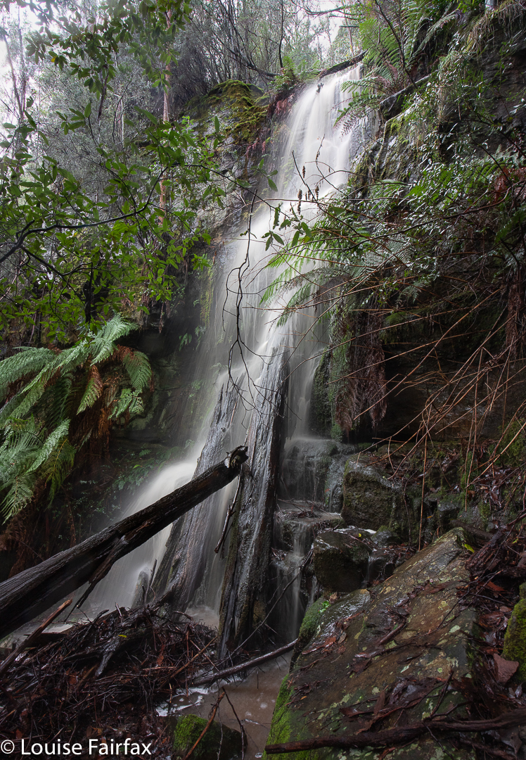
Ice Trib Falls

Why ominous? We are, after all, only discussing a waterfall. Hm, well, the fact is that the roar indicated that the object of our quest would be all but ‘unphotographable’.  It was stunning; it was dramatic; but it did not yield itself willingly to the three keen photographers who had come for a visit. There was an enormous amount of spray, and the drop and quantity and angle created a massive wind that blew the foreground every which way. The lens was misty in a nanosecond. I basically gave up, vowing to myself to return when the flow wasn’t quite so overpowering.
Adrian, who had been there before, reckoned the brook was so thickly vegetated that it was easier to climb back up and then descend away from the brook itself, returning to it at the last minute. This was a great plan, as it meant we also discovered Ice Trib Falls and Ice Trib Gorge Falls. The latter name is because Caedence was excited by the appearance of a gorge from above, and especially excited when the tributary flowed into the gorge, and fell out as a waterfall on the lower side. Although we could now hear and see Bowl Falls (the one we had come for), we were diverted across to explore and photograph the Gorge Falls. I’m afraid I can’t offer you a shot of this one. The spray was formidable, and the wind was blowing all the ferns all over the place. For me, it was just a place to enjoy. I will return. Adrian has kindly given me a record shot from his iPhone so I at least have something to show for my presence.
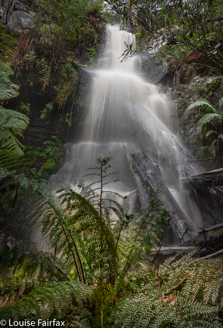
Ice Trib Falls front on

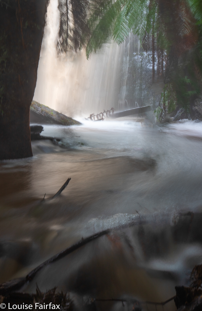
This business of not photographing what I’d come to see was setting a trend. Now we turned the corner to Bowl Falls and were met with another mass of spray in the context of a mighty wind. The falls were also dramatic and wonderful, but there was no way of avoiding the spray that I could see, so I took the odd little shot included here, hiding behind a fern tree and peering at the mass of falling water from my sheltered hideout. I had brought an umbrella with me to help protect my lens, but it was no match for the force of the spray. It is fun to just stand there and feel, hear and see the power of nature.
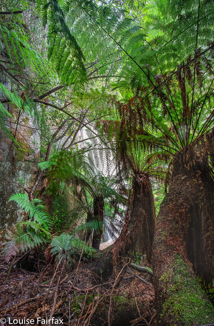
Bowl Falls Ice Brook

Well, yes. That shot is a tease. When I return, I’ll post a better one.
Now we just had to climb up the steep slope and get back to the car. It had been so very precipitous and slippery I anticipated difficulty, but it was very easy, and all over quickly, which is good, as I had worked up a considerable appetite, and now it was time for a late morning tea at the Church Cafe at New Norfolk, which is a great place if you haven’t tried it (or if you have).
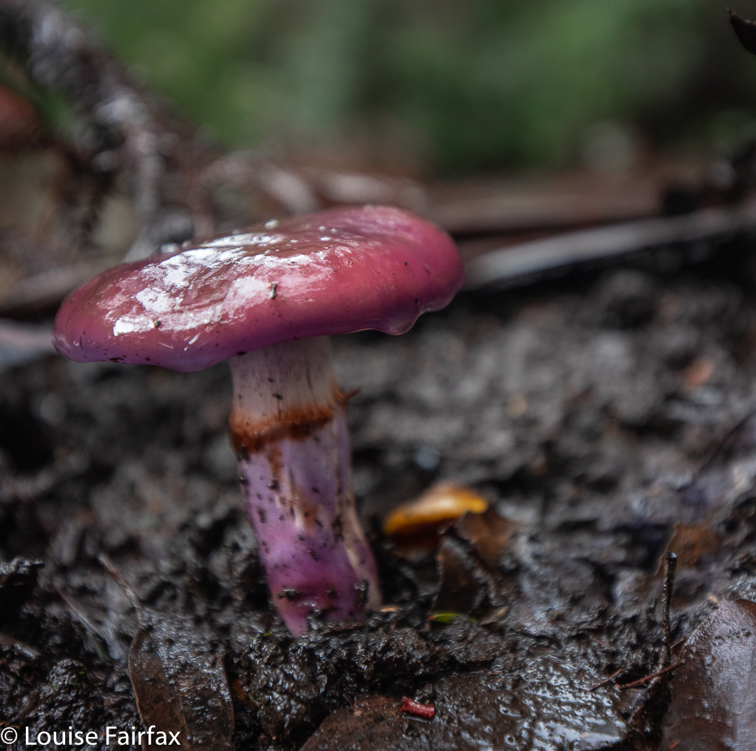
Cortinarius archeri along the way

Filled with homemade blueberry and apple tart, plus an excellent cappuccino, we would then set out for stage two of our adventure, in the East Styx area, exploring an unnamed creek issuing from the slopes of Mt Styx. I will give it a separate blog to make it easier for people to find.
http://www.natureloverswalks.com/styx-falls/ 


Charles + Bee Hive 2014 Jun

Mt Charles and the Bee Hive 21 June 2014.

Given that my husband and I have made a snap decision to go to Europe next weekend, I feared that going off collecting mountains here in Tassie today sniffed suspiciously of irresponsibility and self-indulgence. I should be home mowing the lawn, tending the garden and getting ready to go away. But I really needed to get out and walk up mountains, sit on top and hear the sound of friendly voices. I signed up for the Pandani trip, set the alarm for an ungodly hour and once more found myself driving slowly through the thick fog and darkness of the low agricultural lands, wending my way towards our meeting point at the pub at Derwent Bridge near Lake St Clair.

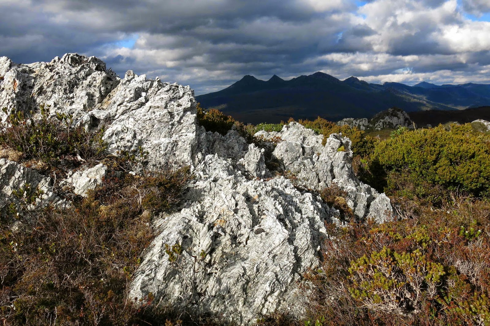
King William I, Mulligan’s Peak, Mt Pitt and more (Slatter’s Peak I think) from Bee Hive.

After Poatina the beginnings of colour in the sky began to emerge and as the road zigzagged to gain height I got to watch the sunrise on the zigs. By the time I was passing the Great Lake on the tops, the sky had the dusky pink alpenglow that I love so much, and the fog was reduced to thin, attractive wisps here and there. It looked as if it was going to be a lovely day. It was great to be out in its wide spaces and to have the prospect of a new mountain fuelling my excitement while I drove.

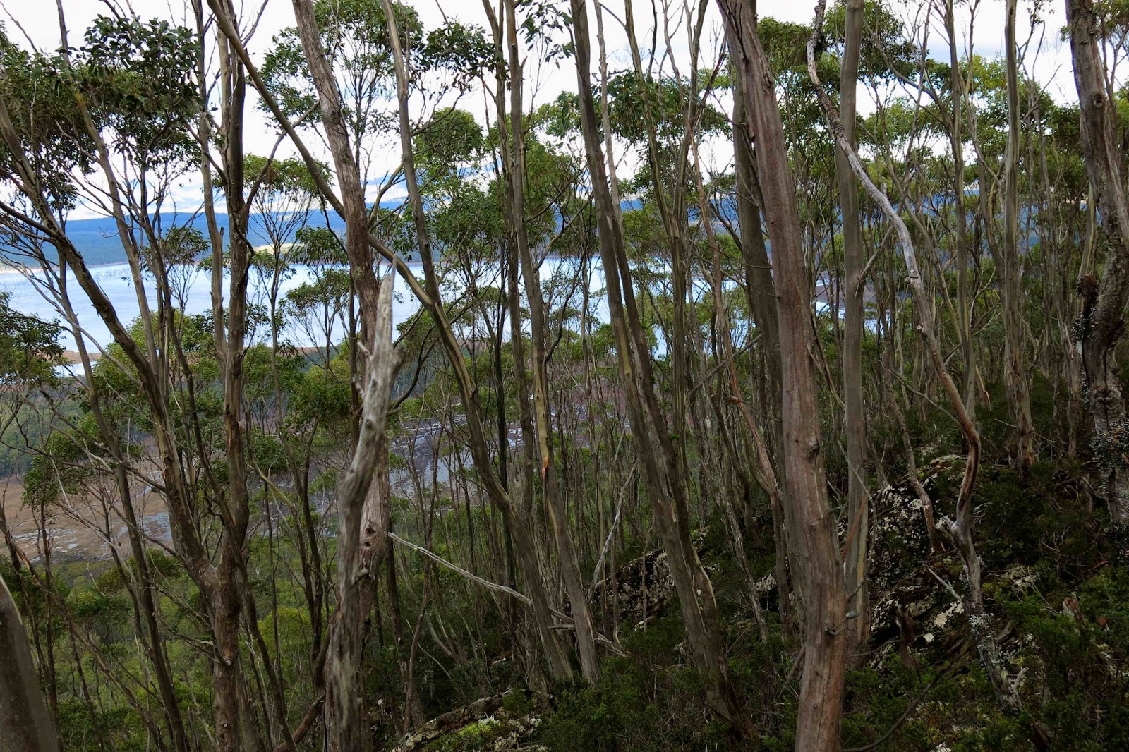
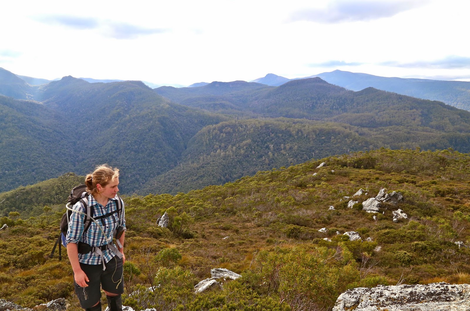
Lake King William, seen behind the striped blinds of skinny, underfed eucalypts on the summit of Mt Charles
It was also just what I needed to enter the pub and see friends again, most of them circled around the fire having coffee or hot chocolate before we set off on the business section of our outing. Hugs all round and we were soon away on our next adventure – a very little one at first, as the club had acquired a key to a magic gate, so we drove to an old flying fox apparatus that my gps says only left us 130 vertical and 550 horizontal metres to climb to the summit. This was pretty quickly dispensed with, even though we lingered for quite a while on the top, gazing at the unique view that Mt Charles offered of Lake King William far below.
We had not done enough, of course, so off we went to the next mountain, the Bee Hive, near two peaks that most of us did together less than a year ago (Calder’s Lookout and Mt Arrowsmith). This one was a much longer enterprise: 16 kms round trip with a scanty 240 ms climb, all done in a rush at the end.
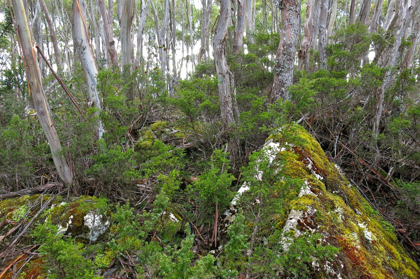
Summit area, Mt Charles
Over 7 kms in each direction were along the Bee Hive canal dirt road (locked), beside the canal. We all proceeded fairly purposefully at a pace we never do in the bush. It made for quite an interesting change, almost marching rather than pushing and goose stepping, weaving and dodging, but chatting furiously the whole way. On the way back, Bec and I saw the most humungous paw print: we assume that of a grandpa wombat. He must have been a mighty specimen to make a print that big! We also saw, at the other extreme of the size spectrum, a tiny little antechinus. The fact that it was dead was sad, but it gave us all a chance to have a really close inspection. It was a darling little thing. Apparently the male of this species manages a record-breaking,  twelve-hour-long copulation, after which he dies of exhaustion. The female bears, raises and weans the resulting litter, and then usually also dies, similarly effete. They’re the smallest marsupials, and look somewhat like a mouse, a little like a miniature hedgehog from the distance.
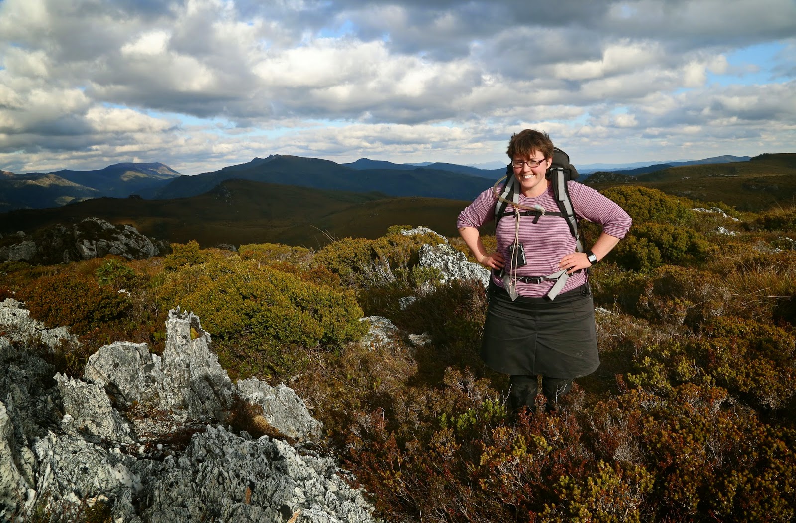
Bec has just finished her exams for this semester. She, too, was very happy to be out here with her friends.
The lighting on top thrilled me, with patches of sun set against brooding and ominous coal-grey cumulus clouds in a moody scene. The quartzite rocks lit up when they caught the sun, already sinking in its short, low, winter arc across the sky.
Becca on Bee Hive
I was not well, so was in survival mode (and I was carrying my heavy 6D camera plus another one, so did not fancy falling); I therefore enjoyed being a spectator rather than participator of the game of button grass bounding that took place on our descent. It is quite hilarious seeing a man in a kilt (which Graham had chosen for the day) bouncing like a bunny rabbit from tuft to tuft. Graham was rather evasive when questioned about how traditional he was apropos of undergarments and kilts. He was obviously pretty confident about not toppling too badly. Mounds of button grass are not the most predictable of landing places that this earth has to offer.
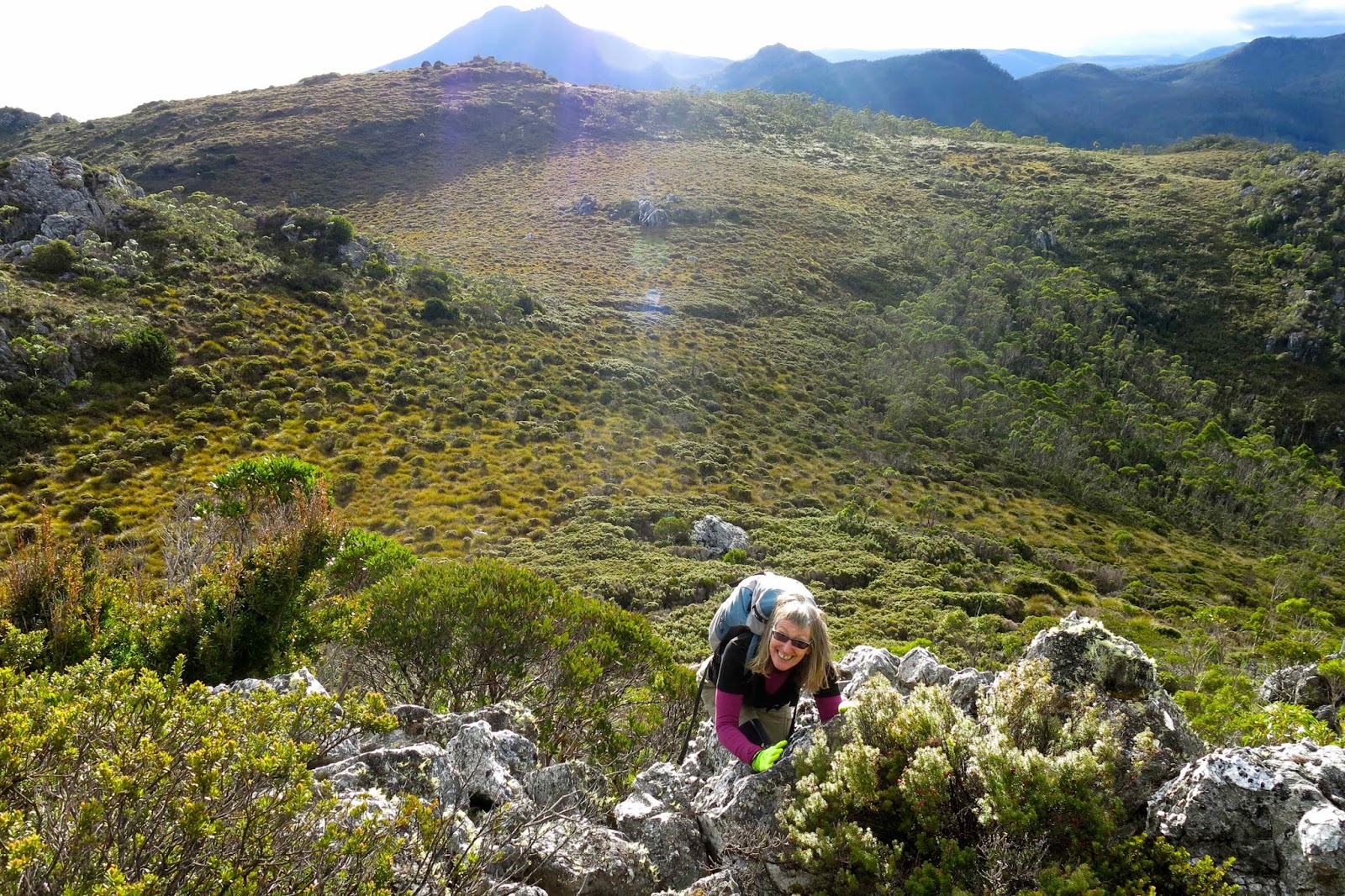
Coralie climbing an extra little bump we did on the way back

Soon enough it was time for the long haul back across the central highlands, dodging wallabies, paddymelons and possums, and trying to stay awake as I headed for home, starving.

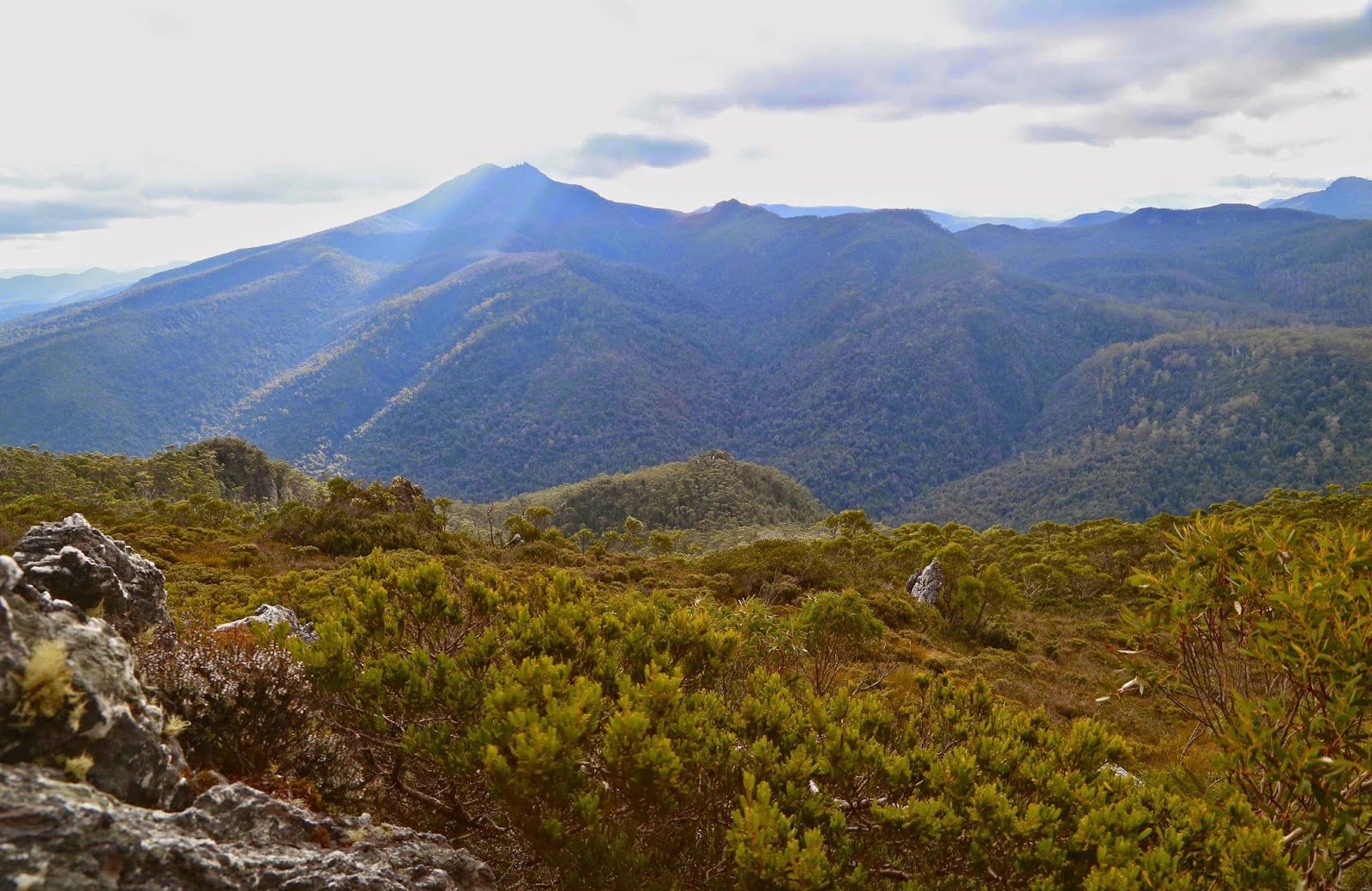
Beautiful Mt Gell with a spotlight on her southern flank