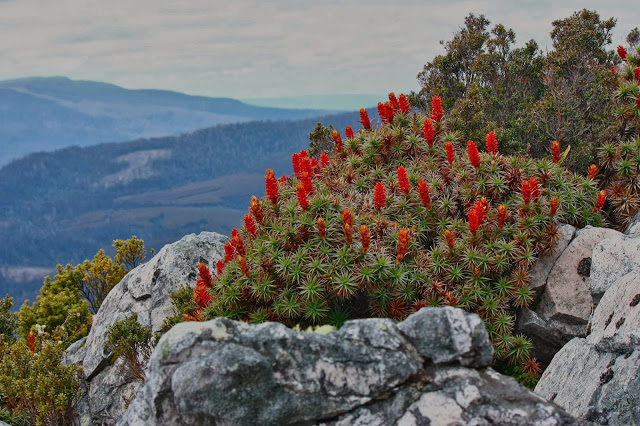
Over ten years ago, I said in my blog that I would like to return to the Jubilee Range, not only to reach the actual high point, but also, and far more importantly, to sleep up there. For me, sleeping on high and witnessing dawn and dusk are the essential elements of a satisfying wilderness experience. A single day pop-in doesn’t have nearly the same effect on me.
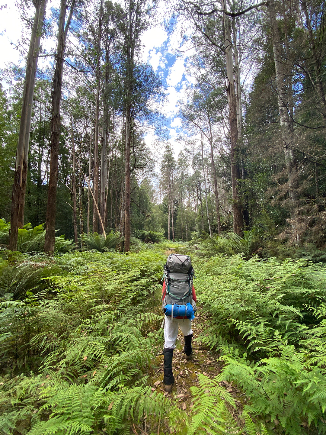
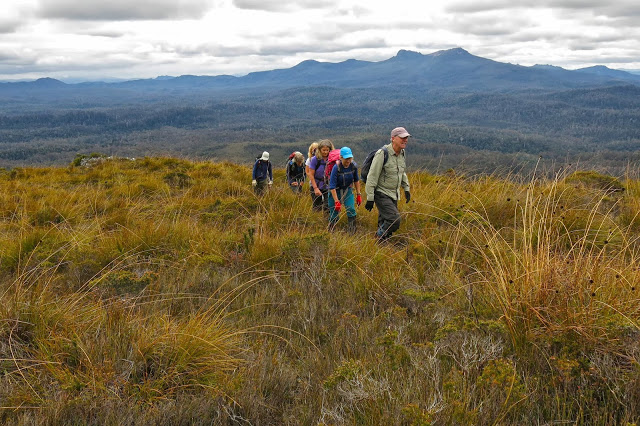
Luckily for me, one of my waterfall hunting friends, Adrian, had decided he wanted to check out some falls way at the far end of the range, between it and Nevada Peak. He planned a trip with four of us eager beavers in mind, but two dropped out. I feared our speed difference would make the trip boring for him, but he disagreed and encouraged me to continue, so off we set. Thanks mate. He knew I needed the restorative powers of the wilderness to soothe my soul a bit. Nothing like pushing your way through dense melaleuca and bauera, piercing your skin with cutting grass, and goose-stepping over high button grass to soothe the soul. The steep climb in debilitating heat no doubt also contributed to distracting me from the state of my soul. I drank 5 litres of water on day one!!! Pity all the creeks were dry!
Our cause was not helped by the fact that the road is now impossible and impassable beyond the Styx crossing. We had to walk 3.5 kms to get to the actual start, which added over an hour in each direction.
Luckily, we kind of had enough water to make it to Mt Jubilee. Progress was very slow, and every time we stopped, I needed another 500 mls – far more than on the Larapinta trail, where I drank 250 mls/hr. After one hour, first break, we had covered a mere single kilometre. This dd not bode well for our overall plans. We could only do whatever it was we could do. On we pressed. Up through the thick, resisting muck. More water disappeared from our bottles.
I started to worry about the future of this trip. We had already consumed so much water that we didn’t even have enough for dinner. If we didn’t find water by the summit of Mt Jubilee, I decided, we would need to turn back. Our whole trip depended on finding a source of water somewhere up high, but as all creeks had been dry, the prospects did not look good.

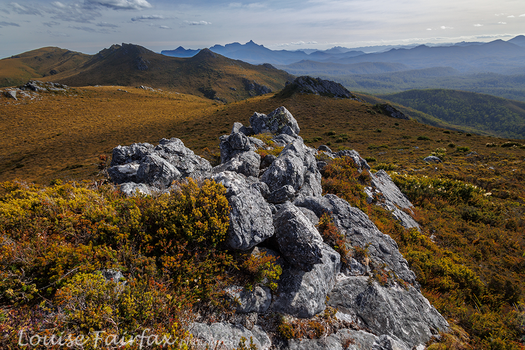
The slope looked like it was at last levelling out. Our climbing trials were nearly over. We were going to crest the slope near a rocky, bluffy sort of arrangement, with Mt Jubilee itself just slightly to our left, only a couple of minutes away. I dumped my pack unceremoniously on the ground and looked to my left as I turfed it. Unbelievably, hidden behind the deep green of knee-high bushes was a tiny, tannin coloured, yet pure and clean, tarn. Our trip was saved. Yahooooo. Adrian dumped his pack, and we drank, and drank and drank. I needed more, so added two more protein drinks to the couple of litres I’d just gulped. Off we set on the 5-min ‘trip’ to Mt Jubilee. On top it was nice, but I was still thirsty, so had to return to the tarn for more water and two “post workout smoothies”.
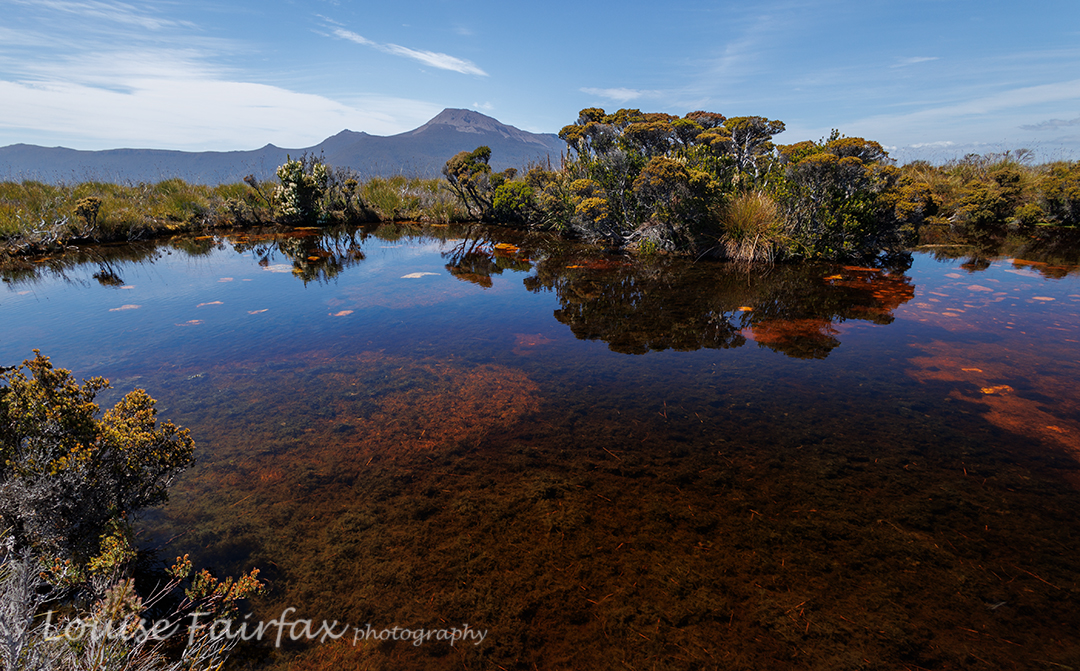
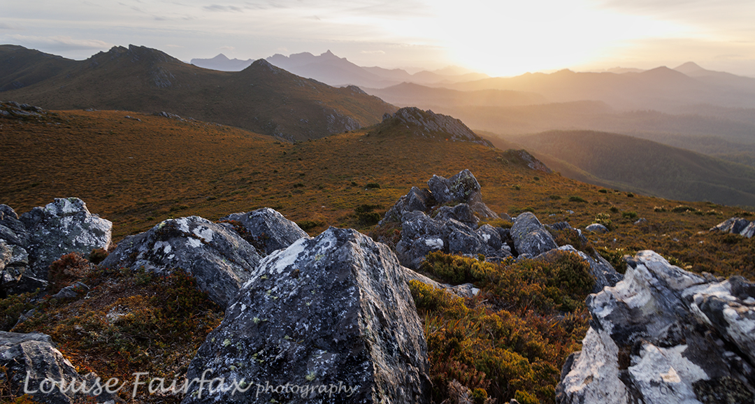
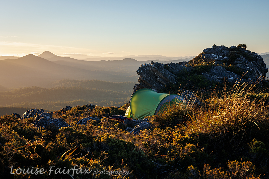
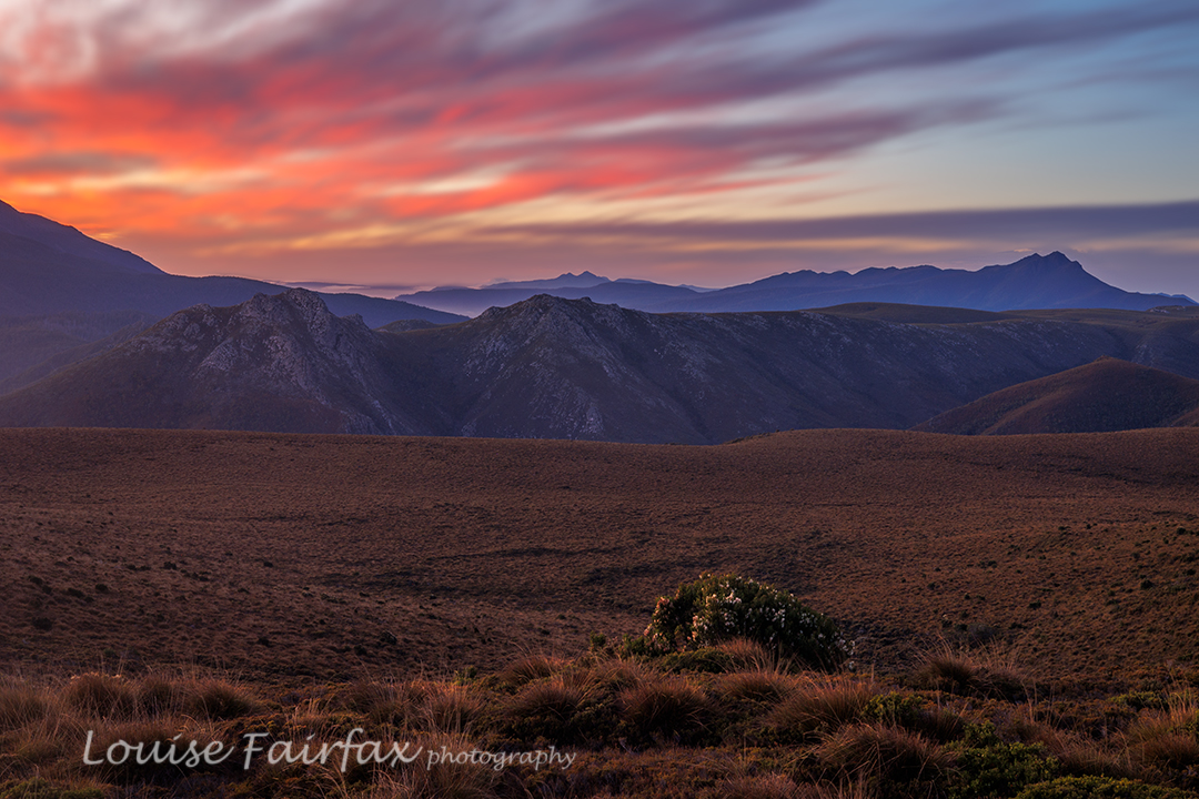
It was only mid-afternoon by the time we had explored our first summit and drunk to our hearts’ content, but I was finished for the day. It had taken five walking hours from the car to where we were, and I have not done any pack carrying or bush bashing for many months. The plan had been to sleep near the actual high point of the range, but Adrian kindly agreed to sleep where we were. By this stage, I needed a cup of soup. I really was a hard case this day. Adrian had a cup of tea, and we spent the rest of the time between then and sunset climbing knobs and bobs nearby, of which there were plenty, eating more, and setting up our tents. I was so exhausted, and so out of practice, it seemed to take forever just to get my tent up. Sunset was pretty OK, but not exactly what we’d ordered. That’s part of the beauty of nature: it is unpredictable, so you just never know what it will deliver.
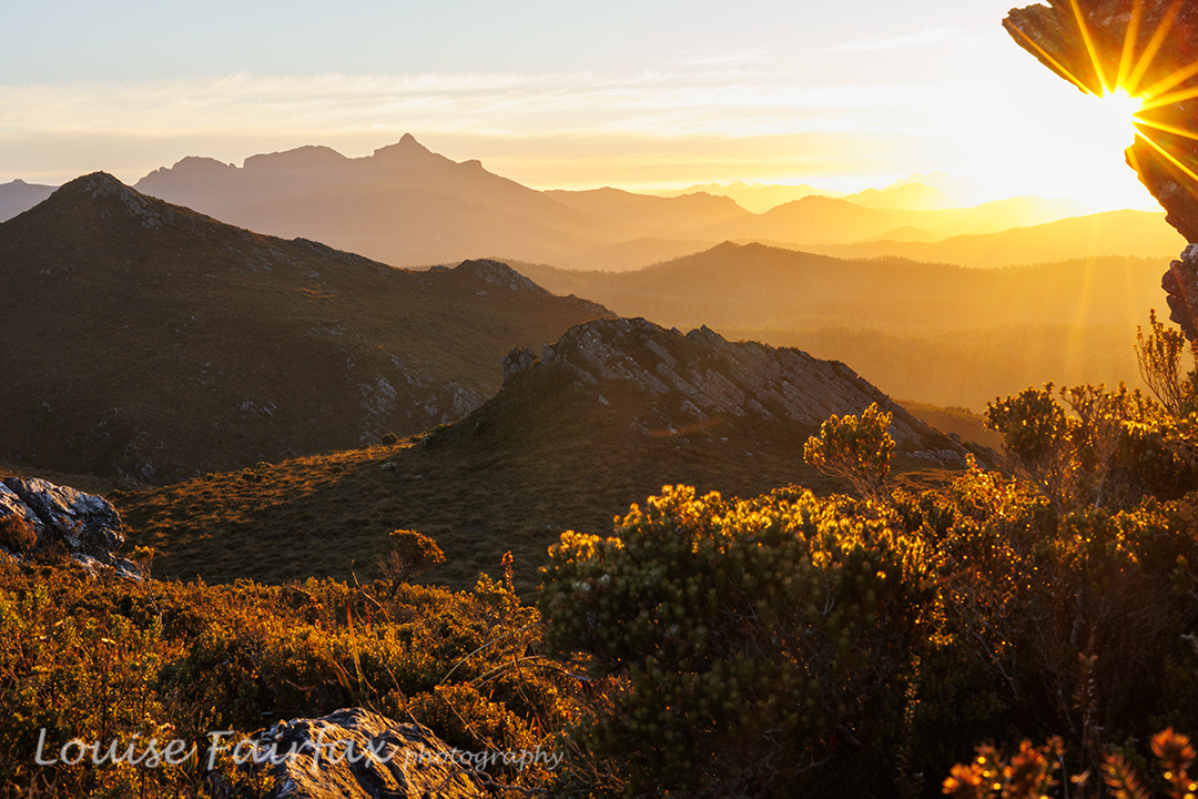
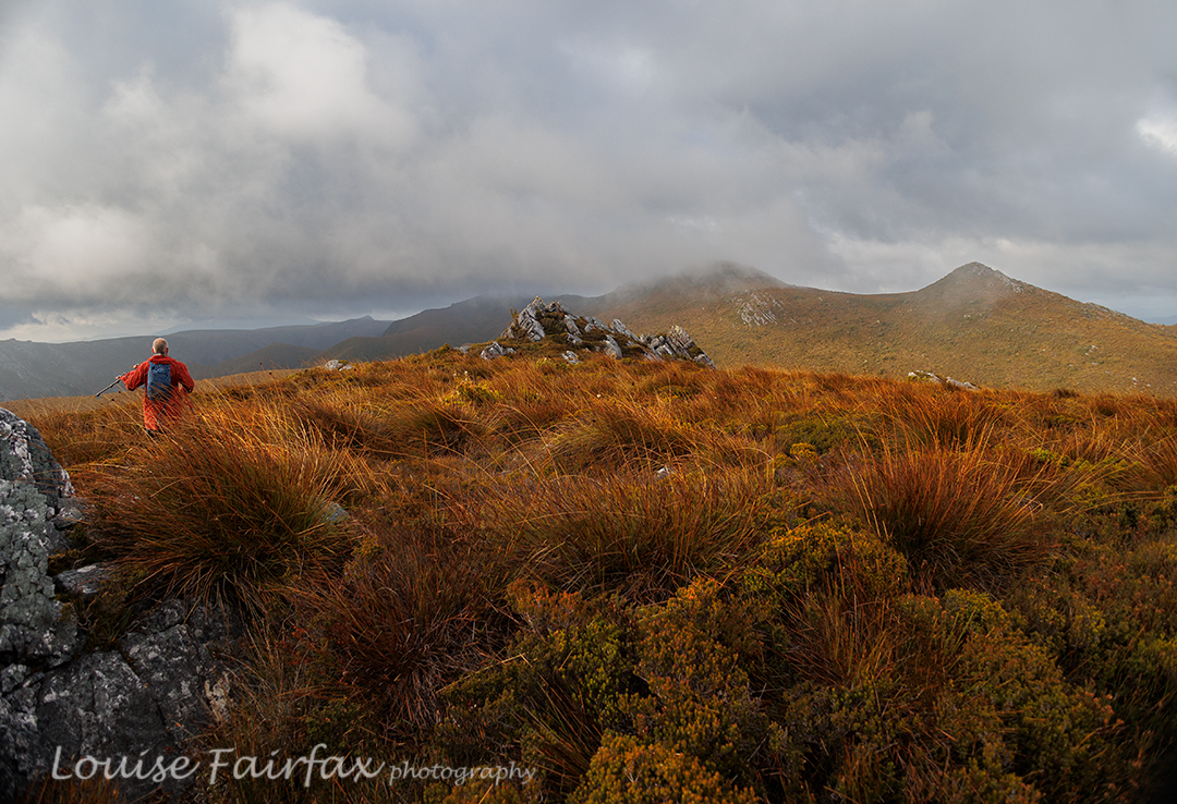
The next morning, an inversion layer had been predicted in some weather app. The predictors were wrong. We awoke to heavy, blanketing mist. I had set my alarm for 5.45. I peeped out my window, groaned and rolled over in my bag. Every time I checked, there was no improvement. Near 7, I checked on Adrian’s tent. We decided we would keep our tents where they were and just do a day walk. There was no point in lugging them higher in mist like this.
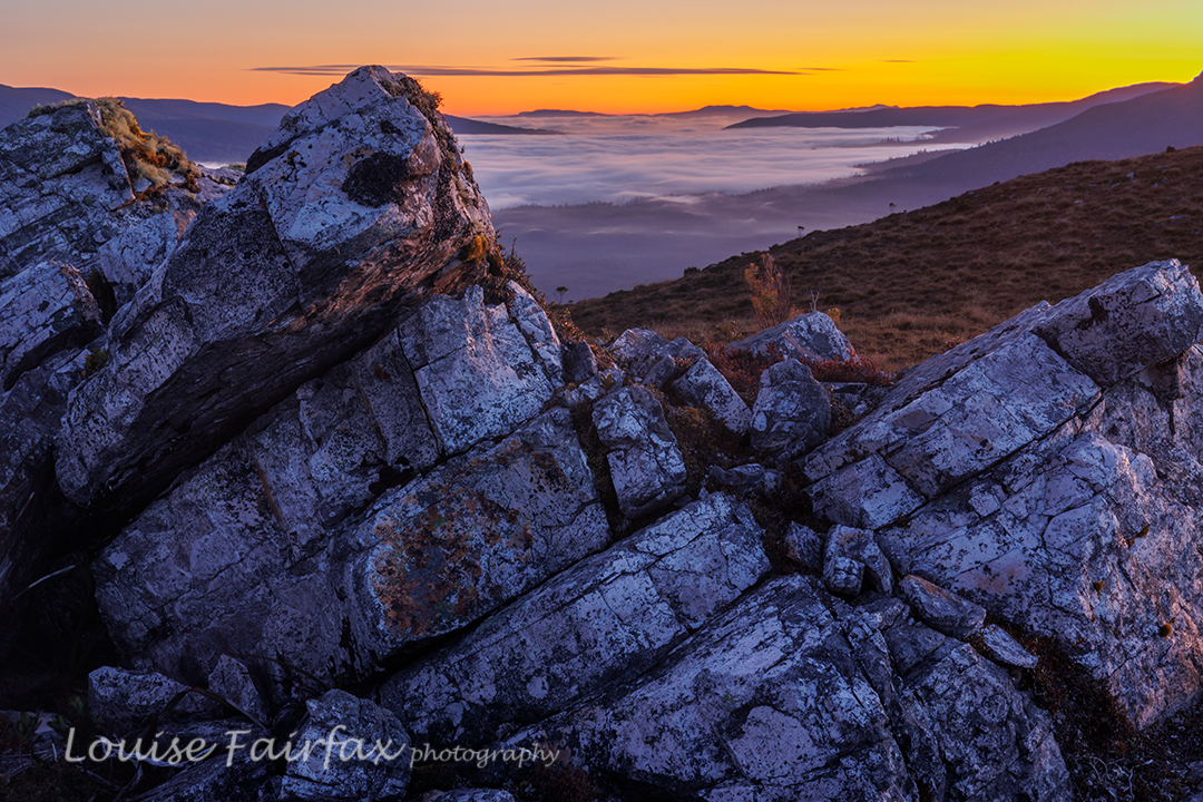
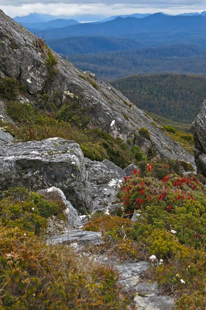
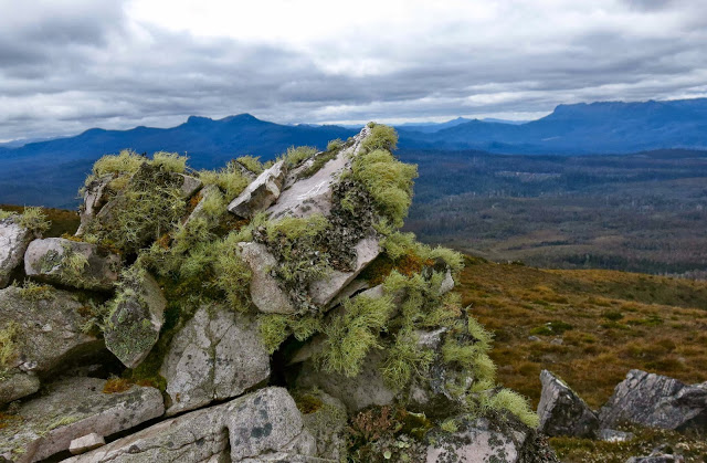
We walked for seven hours this day (plus stops), covering territory that we have never seen photographed or blogged (beyond the Jubilee Ra High Point). We explored “Endless Tarn Ridge”, “Neighbour Ridge” and Lunch Bluff, and photographed Special Tarn, Sibling Tarns, The Pool and more. There were far too many tarns to name; even far too many tarns to photograph them all, although we made a pretty fair attempt at that. By the end of seven hours’ exercise, I was glad to be returning to our tents. If nothing else, I was hungry for an early dinner.
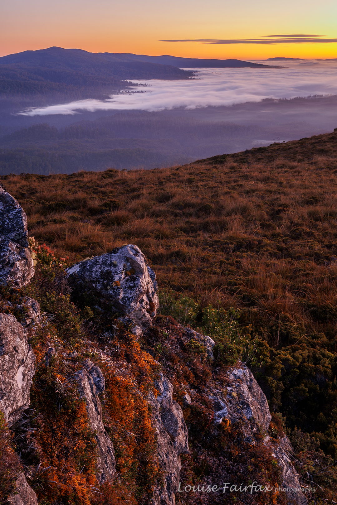
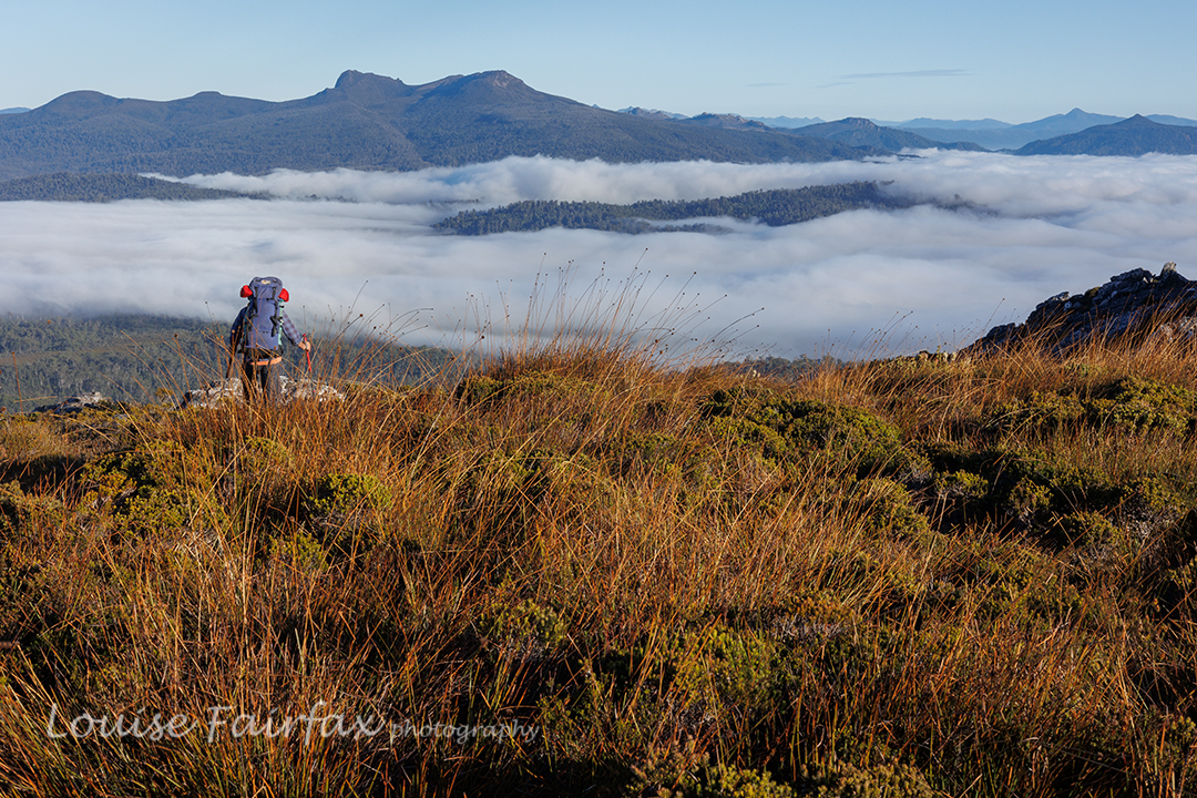
This night, sunset delivered, and the next morning, we got the inversion layer we’d wanted the day before, along with glorious colour. It was very well worth the early rise. Again, we climbed assorted knobs and bluffs for different vantage points, and shot happily until our fingers dropped off and the sun rose, and it was time for porridge.
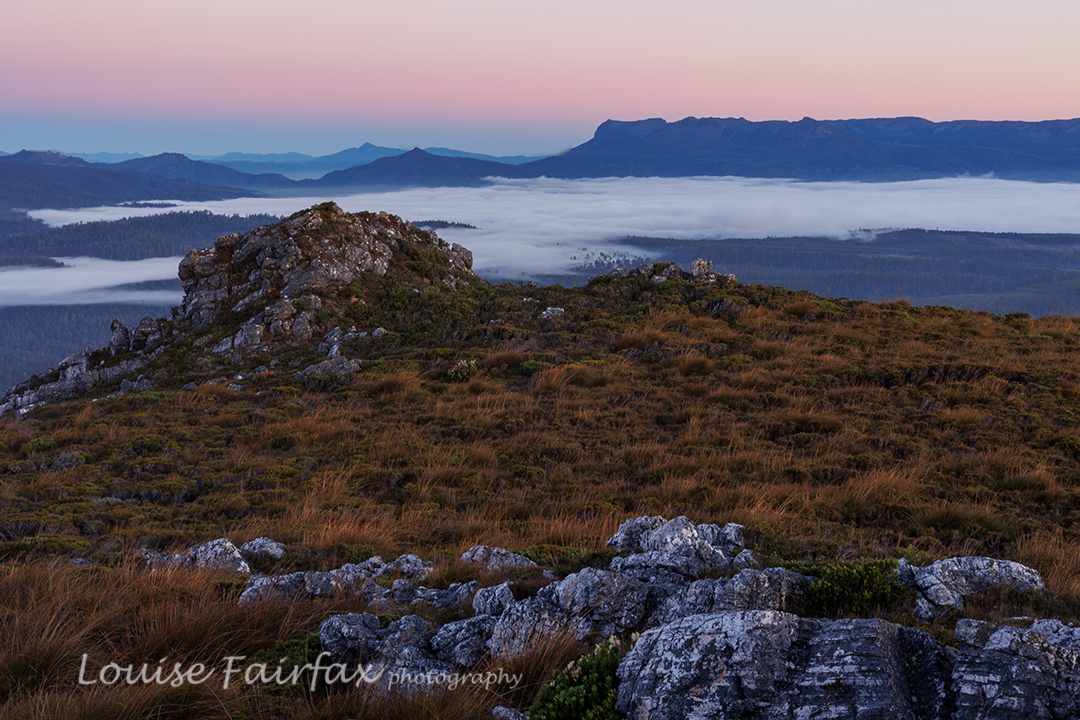
It was glorious walking with the mist lingering below us. The scrub was still very thick, but descending makes it a bit easier. There was one section where it took us 15 minutes to cover 80 metres (the final creek crossing – quite a bitch).
I normally hate roads, but the concrete pipe that marked the end of bashing and the start of the road was perceived by us at that moment as a thing of great beauty. We cheered and gave each other a high five, had a break (drink) and then took the road (mossy covered, fern filled and shady) as quickly as we could. We both had an urgent appointment with the Possum Shed for lunch.
