Mt Jukes Feb 2016
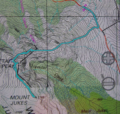
How do you make plans when different sources of information advise very different times for a mountain? Angela and I were in a bit of a quandary when sorting out our Jukes-day, as we had received conflicting expectations as to how long the exercise would take. Would we have time for two mountains, or just one? How early did we need to set out from home on the long drive south? In the end, we decided to be conservative, and allocated six hours to the task, as suggested by the Abels book.
The weather was not brilliant, but, well, we’d just driven a very long way and were going to climb this mountain, whatever. Somewhat unenthusiastically, we donned gaiters, boots, overpants and anoraks and set out into the gloom, taking a compass bearing so we could find a mountain at the end of it. None was evident at the time.
Up we headed on bearing, with me setting the pace as I’m injured. The bushes were drenching, and I got soaked, but didn’t expect that my single swipe of droplets rescued Angela from much. At least the day was not freezing (until we hit the wind at the top, that is).
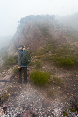
After thirty minutes’ climbing, whilst sidling around a rocky bluff to the left that we had both agreed looked more promising than the right, we happened upon a little cairn. Given that we could see absolutely nothing, this smile from a stranger was most welcome – and especially so as some slight scrambles up the very slippery rock were now in order. When heading up slimy rock faces in deep mist, it is quite reassuring to know your decision to go that way has the blessing of people who have gone before.
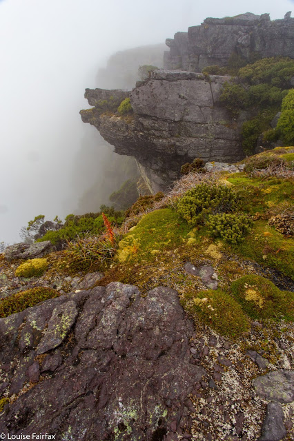
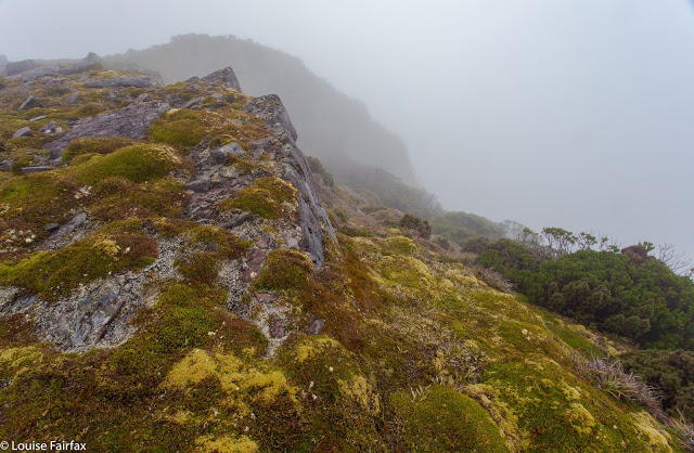
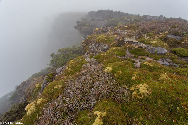
We came, after an hour, to a big cairn on a flattish section, which, given the fact that we could see nothing of what lay ahead, we assumed was the spot height 1038. On we climbed. Huge, steep, leering bluffs emerged out of the mist – amorphous giants which we assumed we had to climb, but which a pad, to our relief, sidled. However, at one point the apparent pad took us to the edge of a drop of about four or perhaps five metres. There was a bit of a crack that could no doubt be employed in dry weather if you were nice and tall, but that was a very long drop down to uneven, jaws-open rock should things go awry, and being small with only one functioning foot, I completely lacked confidence for an attempt at this. Meanwhile, to immediate right and left were drops of even more suicidal heights. Had I inveigled Angela to do a huge drive and climb part way up a mountain in the rain to now call a halt? I felt stricken with guilt, but still lacked the courage to give the drop a go. I turned to her shamefacedly: “I’m really sorry Angela, but I just don’t dare.” Luckily, she also considered it dangerous, so we retraced our steps to an area behind the bluff, and hunted for a viable alternative, which we found to the north. Phew. Maybe we are going to get up this mountain, wherever it is, after all. But how many other such challenges and obstacles lay in the undefined gloom ahead?
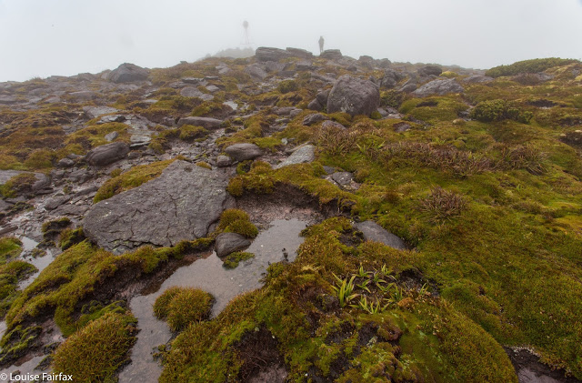
It appears, none. In the surprisingly short time (given our expectations) of a shade less than two hours, we were standing on the summit of Jukes. Angela couldn’t believe it, so checked her gps innumerable times to ensure we weren’t cheating. I photographed, opining that the presence of the helipad said all. Given that my swollen and still coloured (and painful) foot necessitated a much slower pace than usual, it was most unexpected to cut the time by so much.
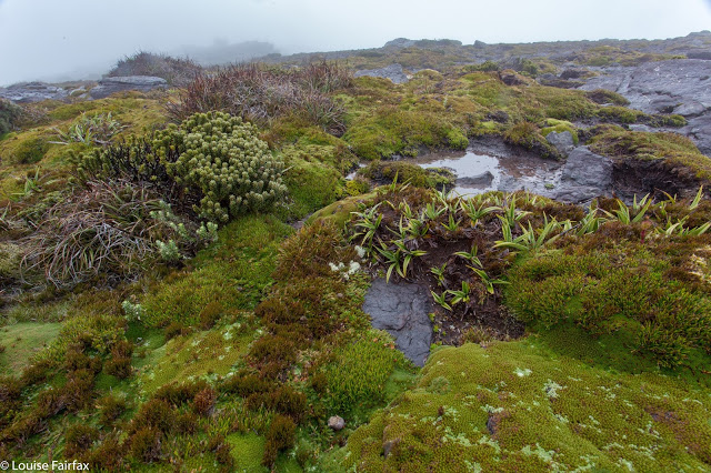
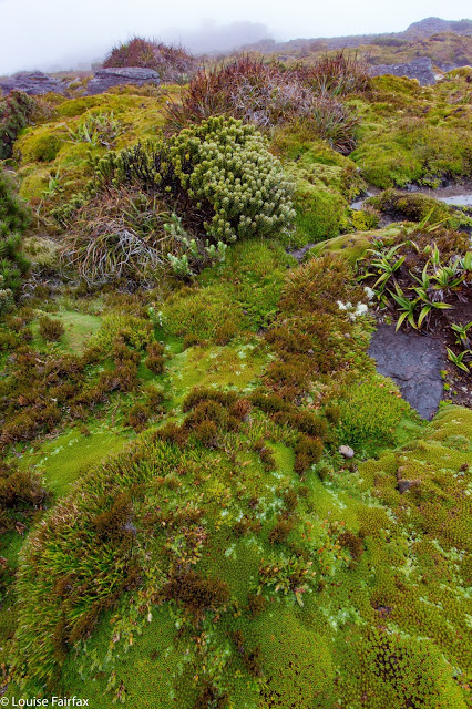
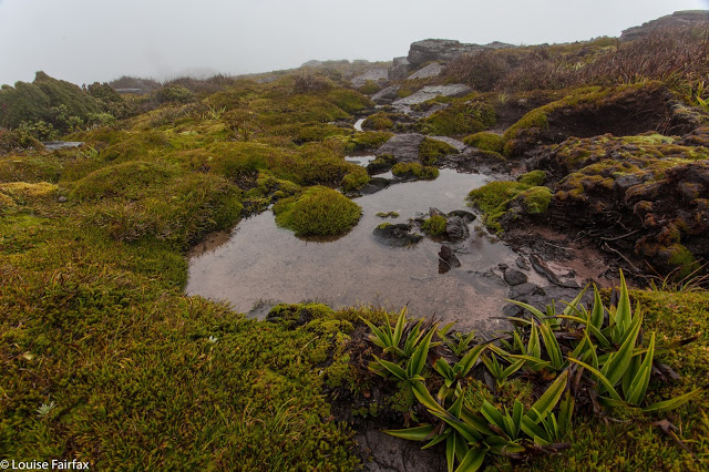
Although it drizzled all morning and then rained up on top, I adored this mountain, and can’t wait to go back with my tent and tripod. The huge bluffs and monstrous drops to our left as we climbed added drama and mystery to our quest. There was always the hint of an amazing “je ne sais quoi” that was not going to be revealed. The lack of definition gave free rein to the imagination. Also, the lack of horizons or view meant that the climber-mountain relationship was intensified. It was you and the mountain’s immediate environment and not much more. I enjoyed that intense experience. The cushion plants and greenery on top were delightful. Green and grey make a wonderful combination.
The way down was faster than the ascent, giving us more than two extra hours in our day. However, rather than using them “profitably” to climb a second, unplanned mountain, we chose the rather indulgent option of firstly, hot chocolate and cake in Queenstown, and then something a little more healthy at Derwent Bridge Hotel. My foot was quite painful, even after the shorter-than-expected climb, and I was tired from the unaccustomed concentration required to prevent further injury. I rather think that when my physio said I could try a day walk this week, she didn’t quite have a slippery Mt Jukes in mind. But then, she’s been my physio since 1990, so perhaps she did.
To reach the start, google Mt Jukes Rd, which you will begin on at Lynchford, south of Queenstown. Follow it south etc, winding around the Jukes Range until you reach its high point. Park and climb up Jukes as above.

