Norman Bluff 2018 Oct

Norman Bluff 31 Oct 2018

Norman Bluff is a pretty perfect daywalk if you are relatively fit and know how to navigate. It involves glorious off-track, yet easy, alpine walking over the tops of Battle Ridge past Mt King William I. Even with the drive from Launceston (as we had) or Hobart, it is attainable. I am lucky enough to have a group of friends who are sensible enough to clear Wednesdays from their work schedules to go to places like Norman Bluff in the middle of the week. Off we set.
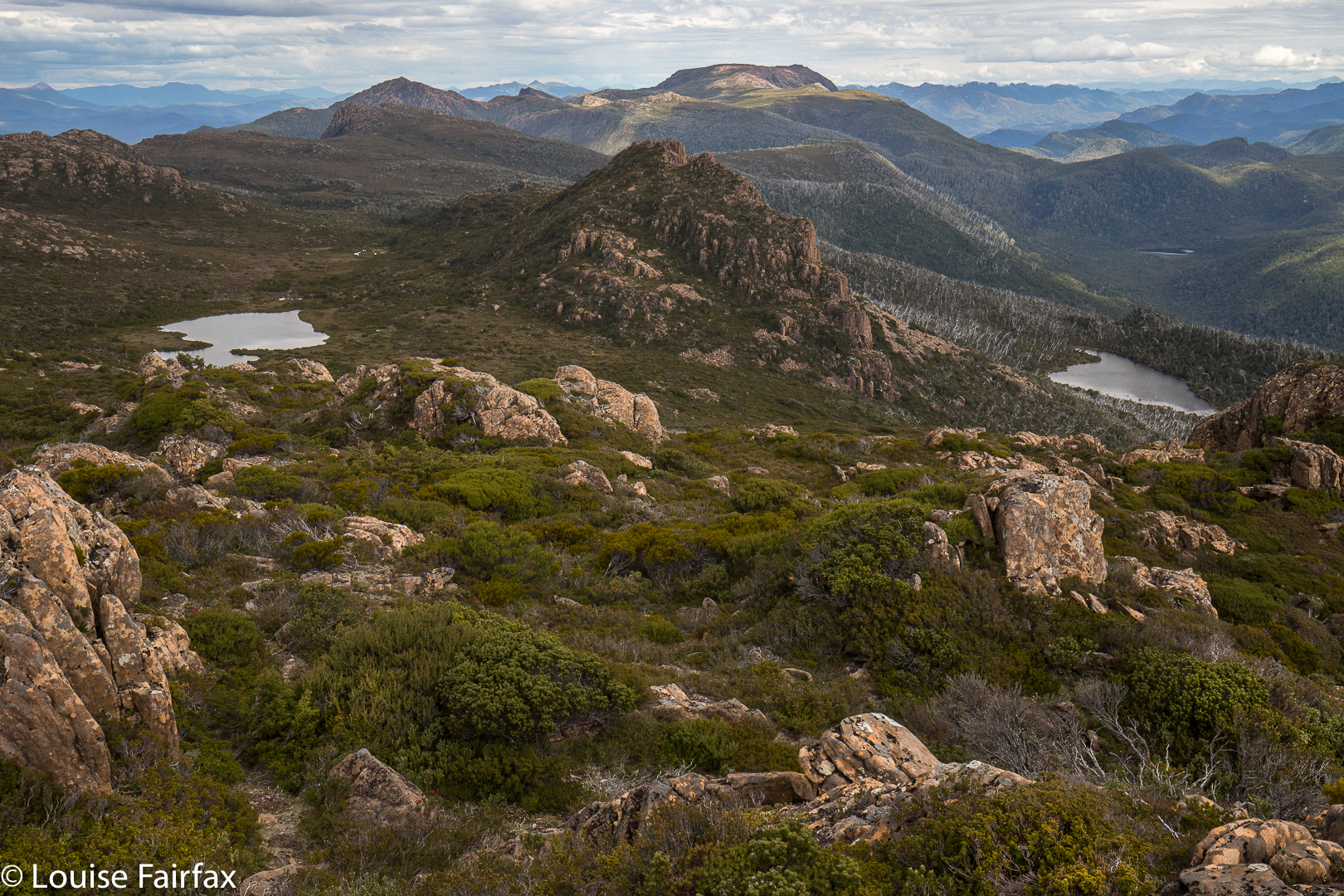
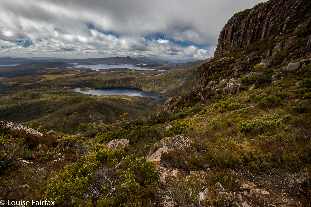
Above: King William I view from near the top to Lake George and the Guelph Basin
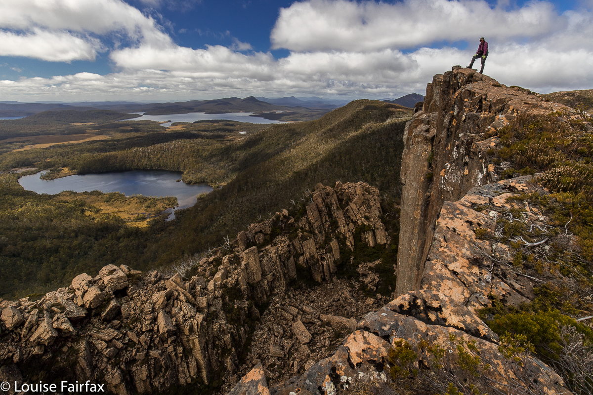
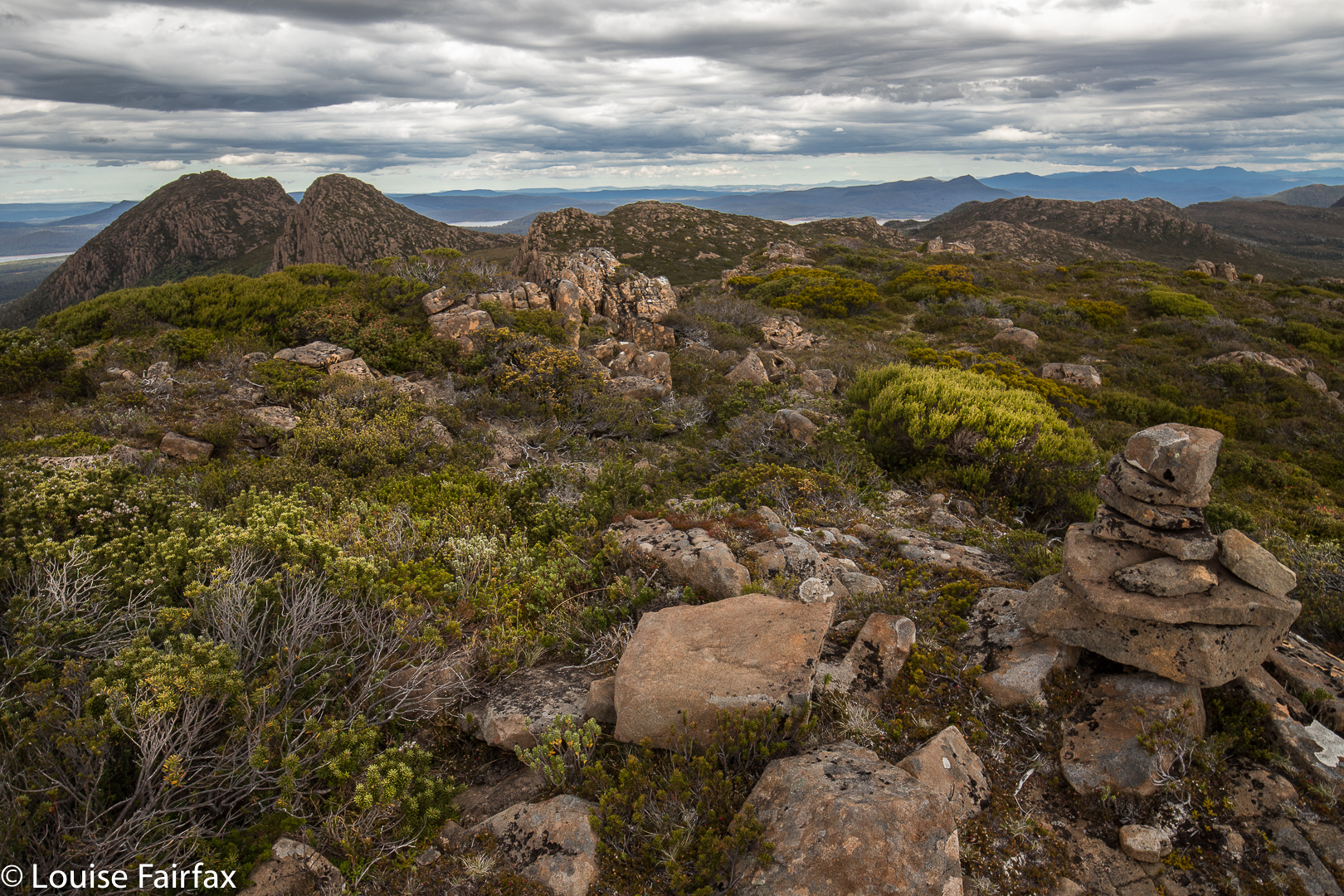
Guelph Lump, Phil, to Lake George, Guelph Basin, Norman Bluff
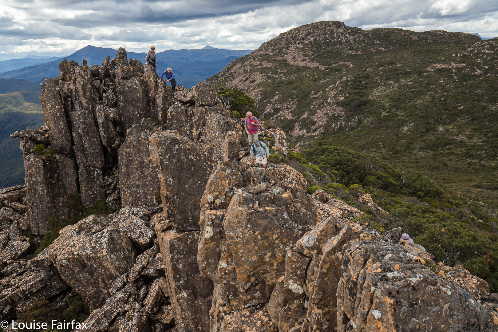
Our route took us over Mt King William I (steep climb) and “Guelph Lump” (what else are you supposed to call an interesting looking lump that is just before the beginnings of the Guelph River?) to a lump that I dubbed Deposit Lump (as we “deposited” several from our party there, to be picked up on the rebound) and on to our lunch spot, some delightful alpine tarns just before the climb (minimal) to our goal for the day, Norman Bluff itself.
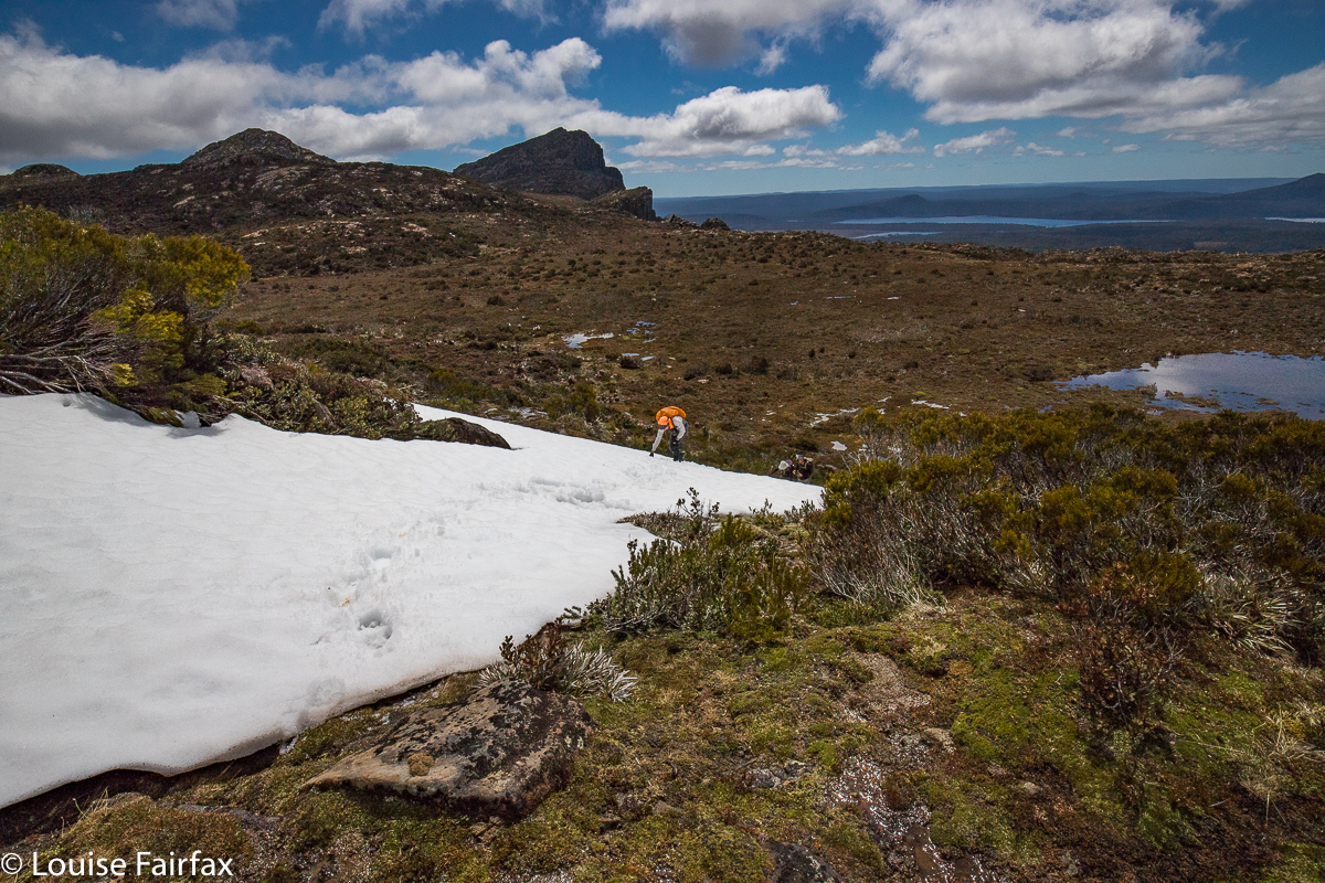
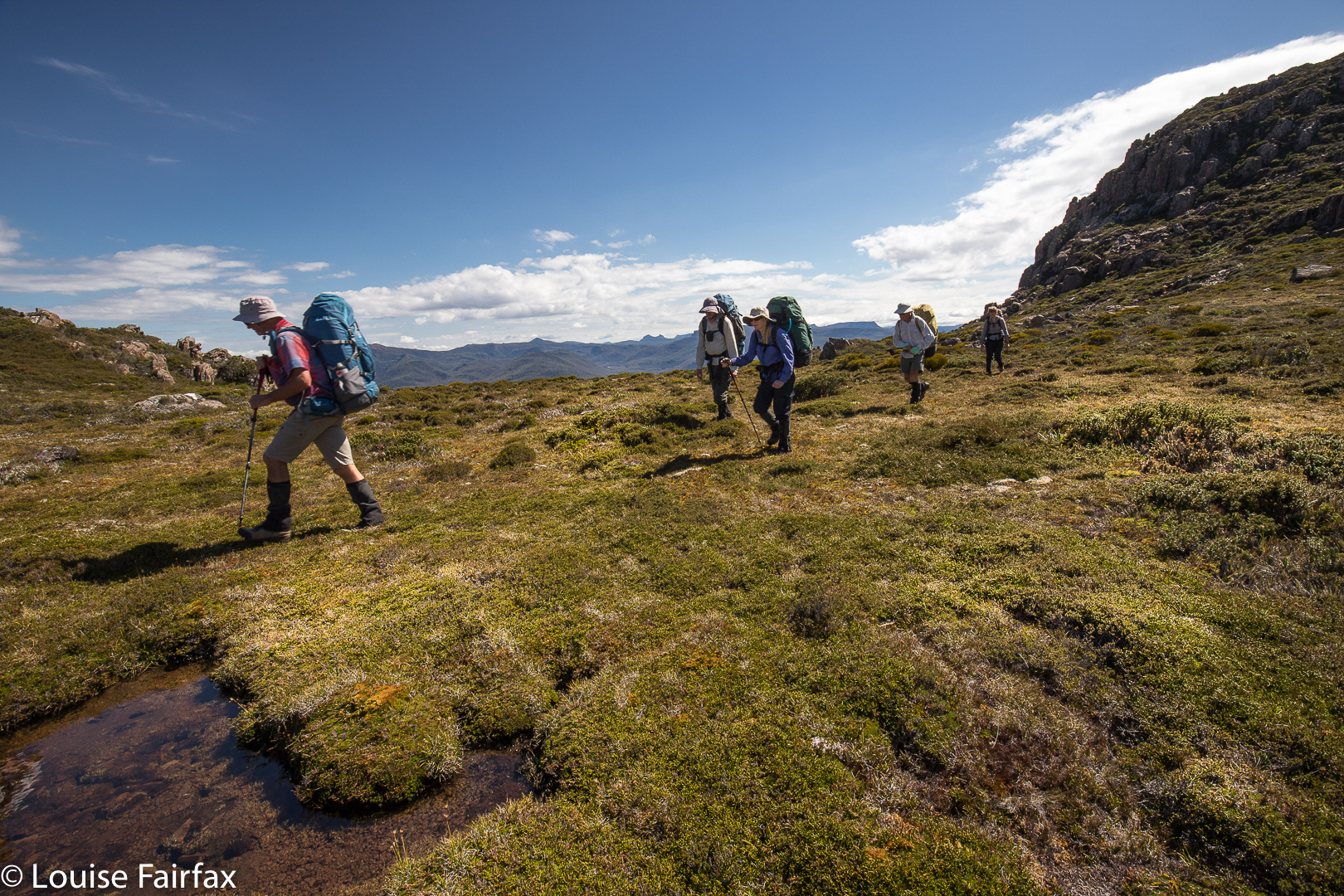
Climbing to Deposit Bluff, Diane (King William I and Mt Pitt behind)
Norman Bluff was actually, truth be told, a bit of an anticlimax. Das Gehen war das Ziel (The ‘going’ was the goal). Not only was Norman Bluff not the ‘enjoyment highpoint’ of the day, it was also not the physical highpoint. Both King William I and the Battle Ridge Highpoint (visited on the rebound) were higher.
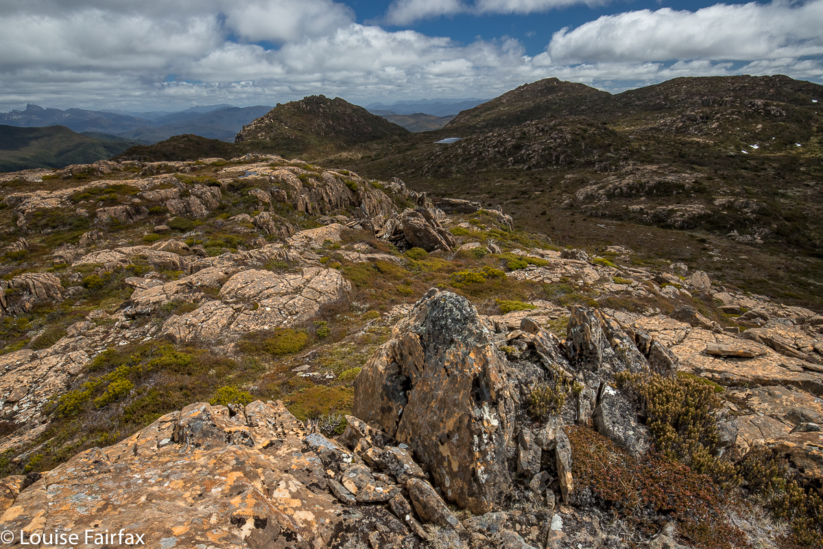
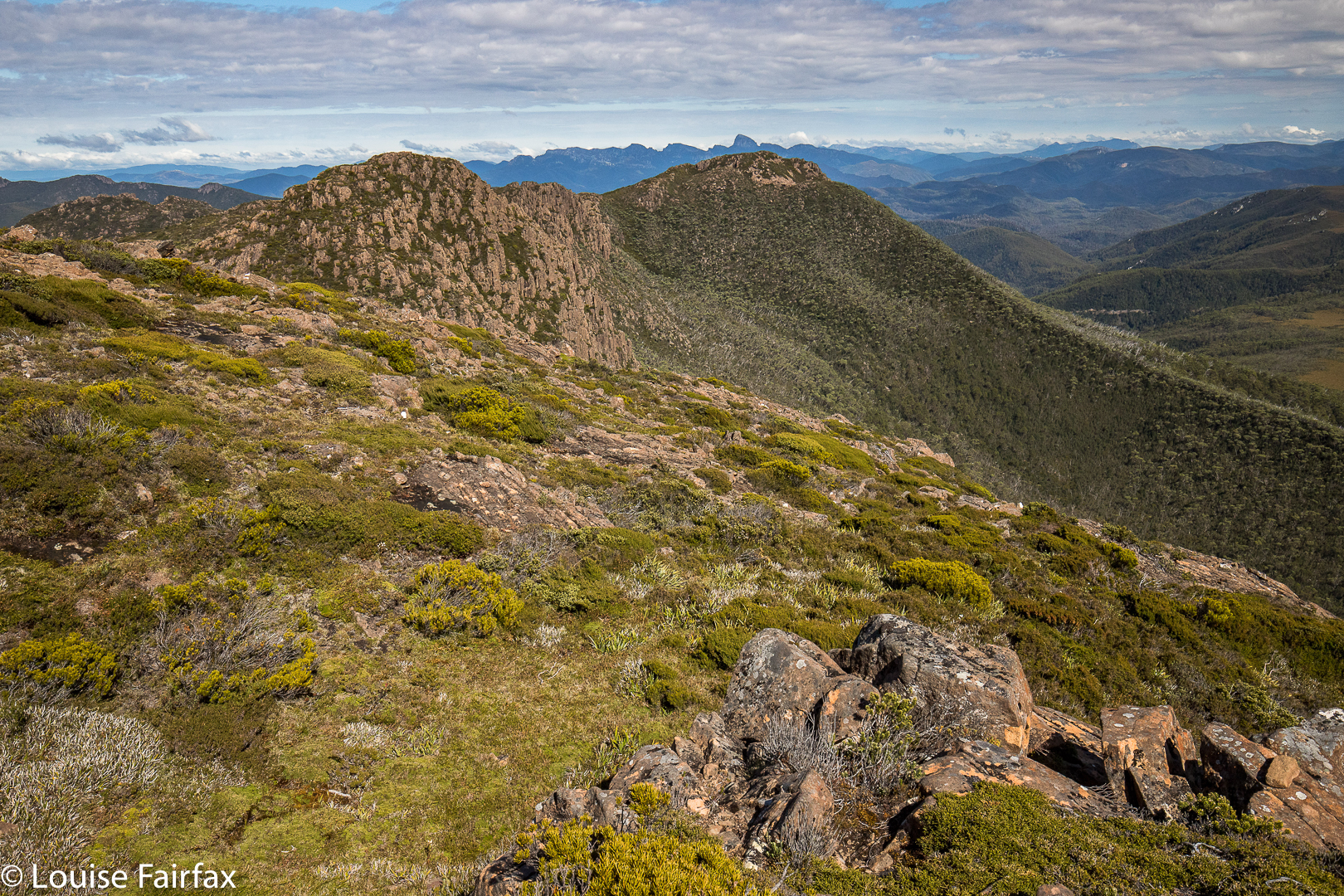
Deposit Bluff to Mt Harold and Milligans Peak. Frenchmans Cap behind left
I am not a lake or tarn bagger. There are just too many in Tasmania, but if I were, I could have ticked off Wessex Tarn, Odo Tarn, Lake George, Lake Vincent, Lake Eva, Lakes Adella and Arlet and the Guelph Basin of Lake King William. I could see Mt Ida, but I don’t think I got a glimpse of Lake St Clair – it was a bit hazy in that direction, or perhaps I wasn’t high enough. I am a waterfall bagger, and Saxon Creek Falls were very clearly visible, but that was not a first-time bag. I nearly died at the hands of that waterfall on our first encounter (2012), when the rock I was standing on shot out from underneath me as I scaled the falls, and I was left dangling uselessly from a tree root with a three-day pack on my back, drenching wet but with nothing for my feet to use, and arms losing their strength with each passing second. Luckily I had just written my will before I left home. The drop below did not bear contemplation. Fortunately, a fast-reacting Rod got my arms and somehow disconnected pack from girl so that I could pull up my own body weight. Phew. I will not forget Saxon Creek Falls in a hurry. Please do not try to tell me they are insignificant just because they don’t have a little blue line over the creek on the map. These matters are utterly arbitrary, and dependent on the will of a bureaucrat in an office somewhere. The drop would have killed me. The climbers below were too small for comfort, with horror written in their bulging eyes. How odd that I had time to notice that detail in what might have been my last few seconds. But this trip was a happier one. I could just wave a jaunty “Hi” across the valley and greet them from a safe distance.
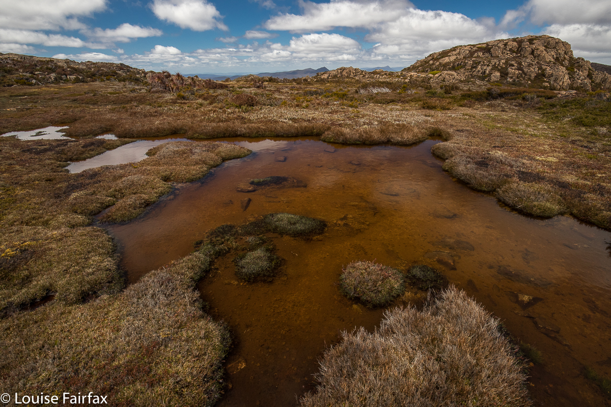
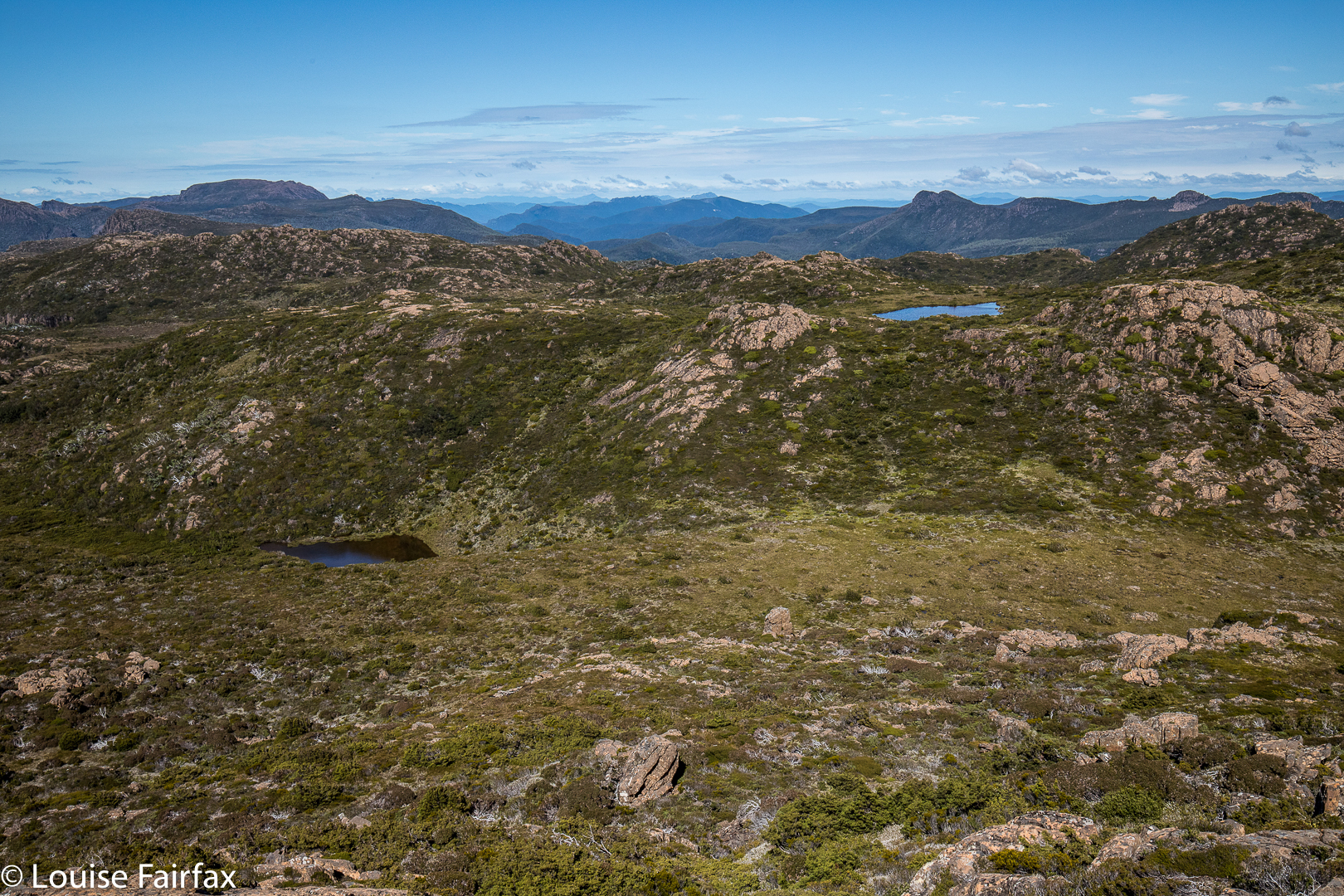
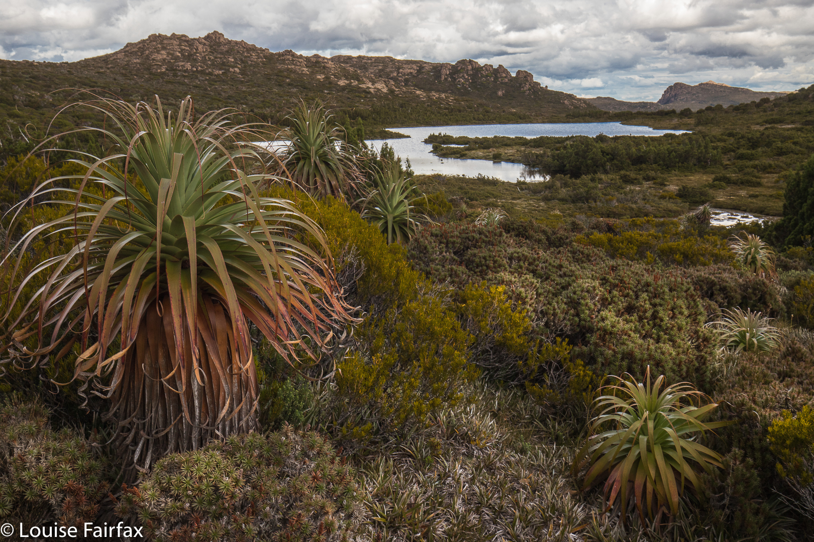
Lunchspot tarns. Norman shelf
The day was a little hazy, but mountain views of the many, many Tassie peaks in our purview were also enjoyable, as was the alpine walking around tiny tarns and intricate pools of pure, clear water, with flowering cushion plants and fruiting pineapple grass at our feet. How lucky we are to live in a place where such thrills are there for a day walk.

King William circuit 2018

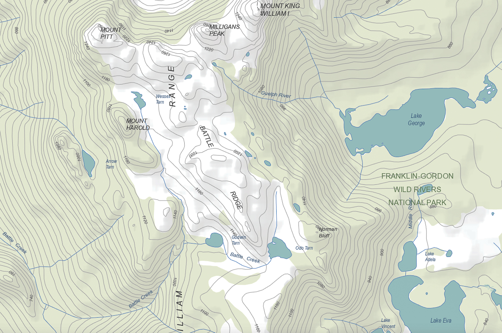
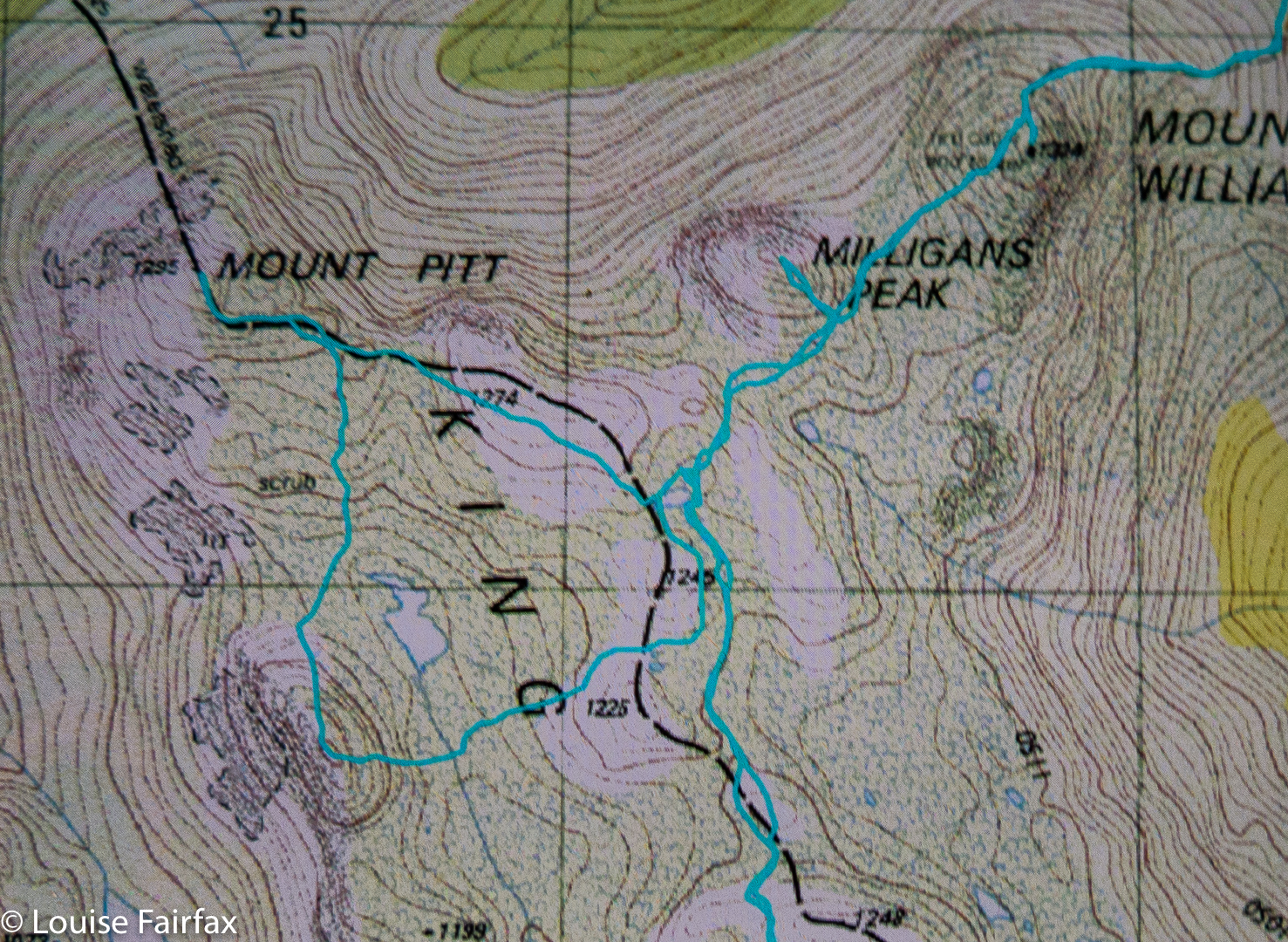
King William Circuit, comprising Mt King William I,  Milligans Peak, Mt Pitt, Mt Harold, Battle Ridge and Bayeux Bluff, and visiting Wessex, Odo and Pitt Tarns. March, 2018.

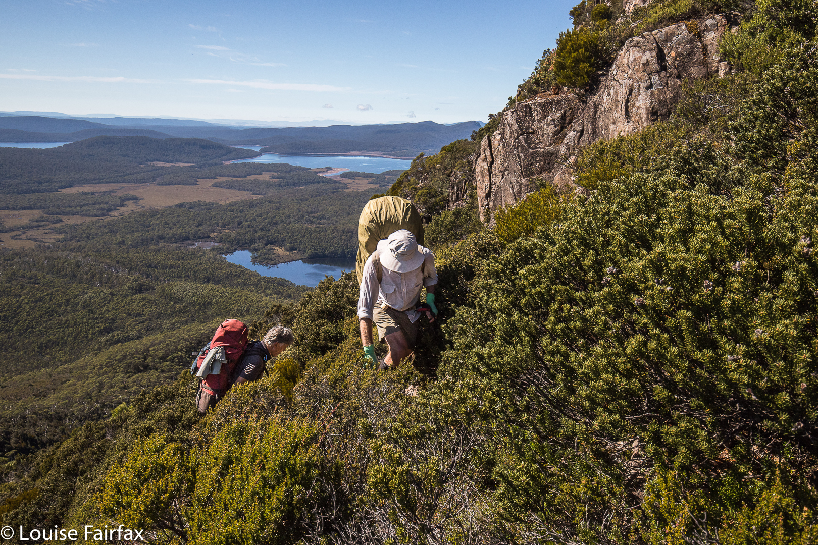
Climbing Mt King William I. Lakes George and King William in the distance.
I had just returned from a fabulous week with friends at the beach near Coffs Harbour, and felt terribly flat to be back home in my now lonely environment. I looked at the approaching weekend: apart from my darling daughters, no one would ring; no one would pop in; no one would invite me anywhere. Life seemed bleak. I could sit at home and sulk and weep some more for Bruce, or I could be proactive and invigorate my life by joining in a club bushwalking trip. I chose the latter, and phoned the coordinator of the LWC trip to King William Circuit. HIs plans sounded great. All of a sudden I had to pack my bags pronto. The expedition was leaving at 5.30 a.m. the next day, which meant a 4.30 awakening. Yawn, but it would be worth it.

From Mt King William I looking towards Milligans Peak and Mt Pitt. The  Frenchman is in the distance, as usual.
I had already climbed King William I, but in a whiteout, so this time I got to see the expansive views. With our nice early start, the day was not yet too glary. It was, nonetheless, the rest of the expedition that held my attention.

In the saddle between King William I and Milligans Peak.
Once we left King Will I, we were in more interesting and less-frequented off-track territory, moiling our way towards Milligans Peak, which was very quickly reached (12 down, 13 up) from our first peak. (Note please: my times never include stopping to remove packs, take photos, eat or whatever; they are “exercise minutes”, as I am interested only in how much exercise I’ve had. Have I been lazy, or have I had a good workout?)


View from Milligans Peak to Guelph Tarn (L) and Pitt Tarn (R).
Milligans Peak offered more great views of old friends such as Slatters Peak and King William II, the Loddon Range, Lake St Clair, Lake King William and our future destinations of Mt Pitt, Mt Harold and Bayeux Bluff. The day was sunny and warm; the weather forecast for rain, a joke. Off we set to be reunited with our packs below, to have lunch by a little pool down there, and to then proceed to our tent tarn underneath our next goal, Mt Pitt.

Mt Pitt summit, looking back to Milligans Peak (R) and Mt King William (L)
Tents erected, day packs loaded with goodies and anoraks, we noted the amassing clouds but were unfazed. Off we set to inspect the views of Mt Pitt, quickly reached in 21 minutes from our tents.

Mt Pitt summit view, looking directly to Mt Harold, which has Wessex Tarn to its L and Arrow Tarn to the R. In the distance, slightly left, is Bayeux Bluff.
The next mountain was the best one of the trip, and a memorable mountain under any and all circumstances, with its hedgehog spikes all over its spine that caught your attention from afar, and had you wondering how, actually, you were going to touch the high point. I plotted my intended route from Mt Pitt, and carried it out with no problems. Having been initially daunted by the rock spikes, it gave a special feeling of pleasure to be on top of both the false, and the slightly higher, real, summit. Drama was all around.

Looking from Mt Harold real summit towards Mt Harold false summit. Mt Pitt is back right.
We all voted it the highlight, and abused the people who haven’t even given it a point. In fact, not only is it not worth a peak baggers’ point; it is neither an Abelette, nor a “Point of Interest”; neither did it get a nod as a “Bob Brown”. It is totally ignored by the people who sit in offices (or, reputedly, at the dining table after a few wines), staring at maps deciding what is “of interest”. We who visited this mountain think it is of extreme interest, and we loved it dearly.

Wessex Tarn. Battle Ridge to the left.
Off the top of Harold, we lowered ourselves through the scrub until we reached the beautiful Wessex Tarn. Now, from even before we climbed Harold, we were in the Battle of Hastings territory, with Arrow and Wessex Tarns on either side of our spiky castle and Battle Ridge in front. Norman and Bayeux Bluffs were up ahead, as were Odo Tarn, Battle Creek which runs from it, and Doomsday Bluff, beyond Bayeux. (To refresh your memory, in case you’d like it, the Bayeux tapestry depicts the Battle of Hastings, in which the Normans, under William the Conquerer, invaded and defeated England – under the leadership of anglo-saxon king, Harold Godwinson, in 1066. The Odo of Odo Tarn refers to Bishop Odo, who is depicted holding a club – presumably not a nice one like LWC, but one with which to bop you off. He was William’s younger, half brother. Later, William, now King William, commissioned the Doomsday Book (1086), an assessment of the land he had conquered and its wealth, so he could raise the taxes). It was fun to be in this territory, and to have as our culmination Bayeux Bluff, which we would reach next day. I am very sad that we didn’t have time to climb Norman Bluff. But then, it’s nice to have a reason for coming back other than just a revisit of old territory.

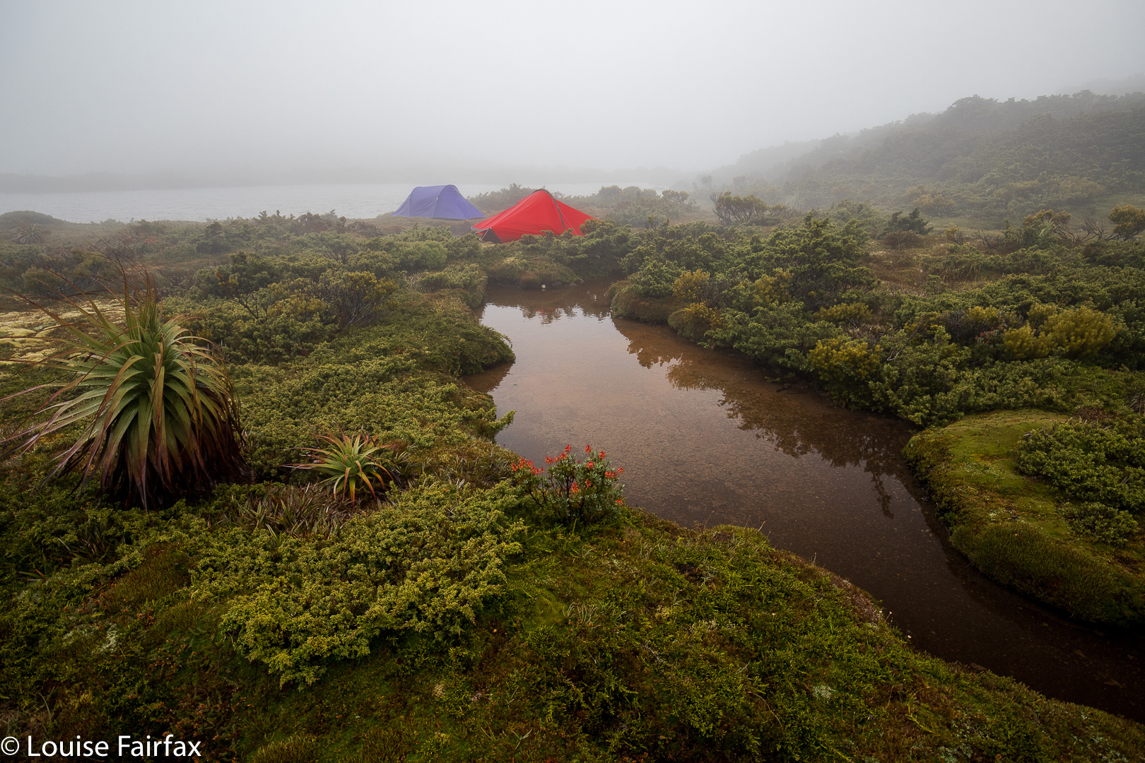
Our trusty tents
Oddly, List Maps has nothing in the area called Hastings. Surely someone could have popped in a creek or tarn or bump … but they didn’t. There are plenty of unnamed features remaining. Adam Guelph, (from Salisbury), who helped William, gets a guernsey (with a tarn and a watercourse), but not Hastings itself. Godwin Tarn presumably stems from Harold’s full name. Of course, from most of our mountains we could see the huge Lake King William; we were on the King William Range. William won. He gets all the big stuff. The victor gets to write history and grab all the best mountains, ranges and lakes.

Meanwhile, with all this history and four mountains under our belts, we retreated to our tents, arriving about five minutes before the clouds that had been slowly accumulating while we checked out battles, decided to dump their contents with a vengeance. We filled in an hour, and then cooked in our vestibules to the sound of wind howling and rain pelting. My flap buffeted most of the night, and we awoke to pea-soup fog. That did not deter us, however. On our agenda were Battle Ridge, Odo Tarn, Battle Creek and, at last, Bayeux Bluff, from which we would gaze at Doomsday Bluff. This blog is already quite big. For day 2, see the blog entitled Bayeux Bluff
www.natureloverswalks.com/bayeux-bluff/

Route Day 1

King William 1 2014 Jun

Mt King William 1  Jun 2014.
The weather looked as if it would clear, as promised and then rescinded by BoM, so I took a punt on climbing Mt King William 1, another peak not yet summited, but one continually beckoning me. I would also take in Mulligan’s Peak and Mt Pitt if the weather cleared. It didn’t.

The route began along a “road”, but as it was a heavily potholed, trickling-streamed, fungi-growing and boom-gated way, I did not feel threatened by the prospect of traffic. Instead, I enjoyed the feast of white and soft-grey trunked eucalypts set against mustard-coloured button grass and mossy green rocks. My mountain was not yet in sight. Mist was. There was plenty of beauty to entertain.

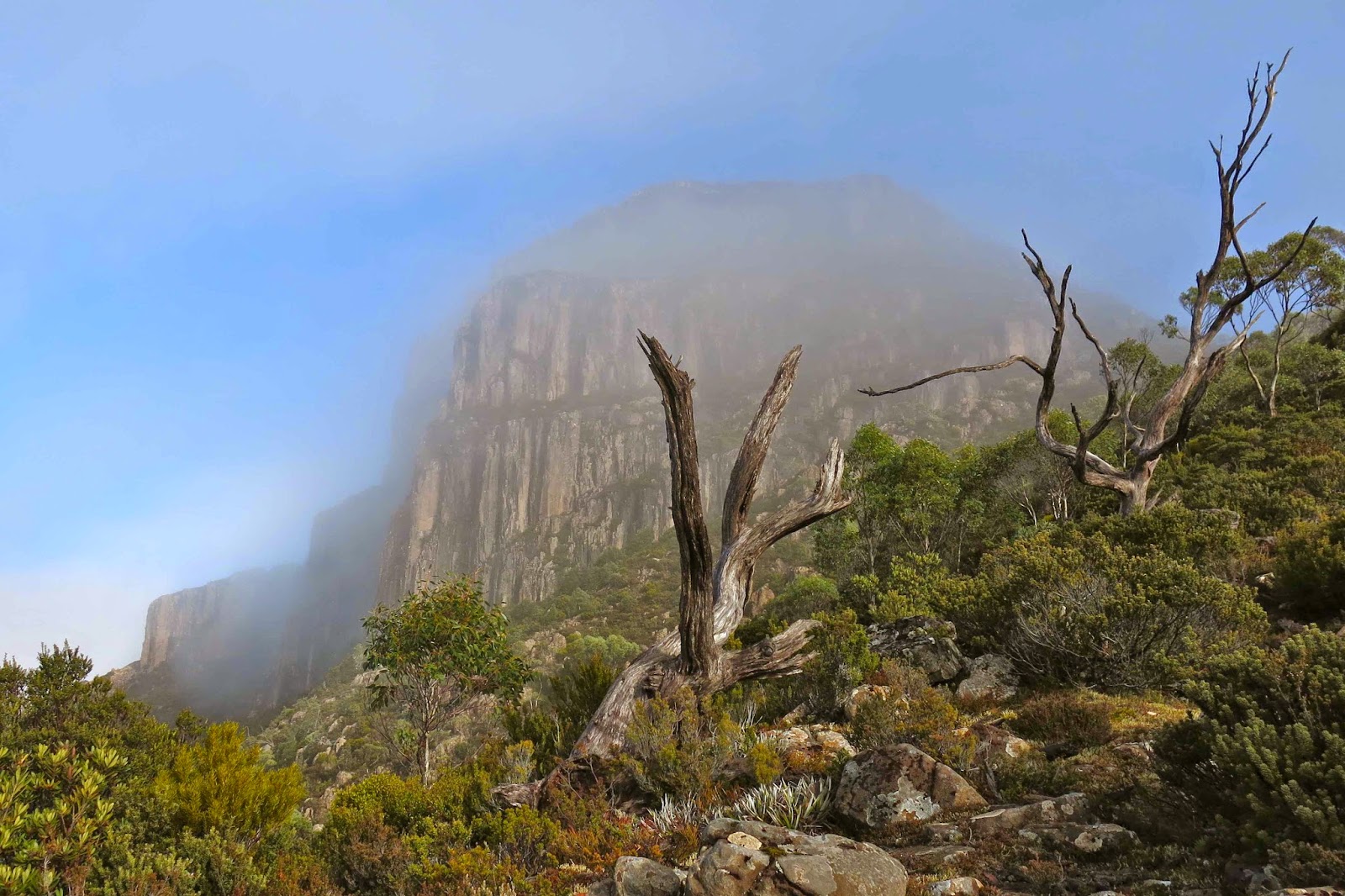
Up I climbed (almost imperceptibly; this was not a steep path). After 35 mins, I came to a flat, open section, and gained my first view of the elusive object of my quest, dressed for now in a diaphanous negligee that was being slowly cast off. Dolerite columns were visible yet also obscured, floating in the soft lace. It was a pleasing view.

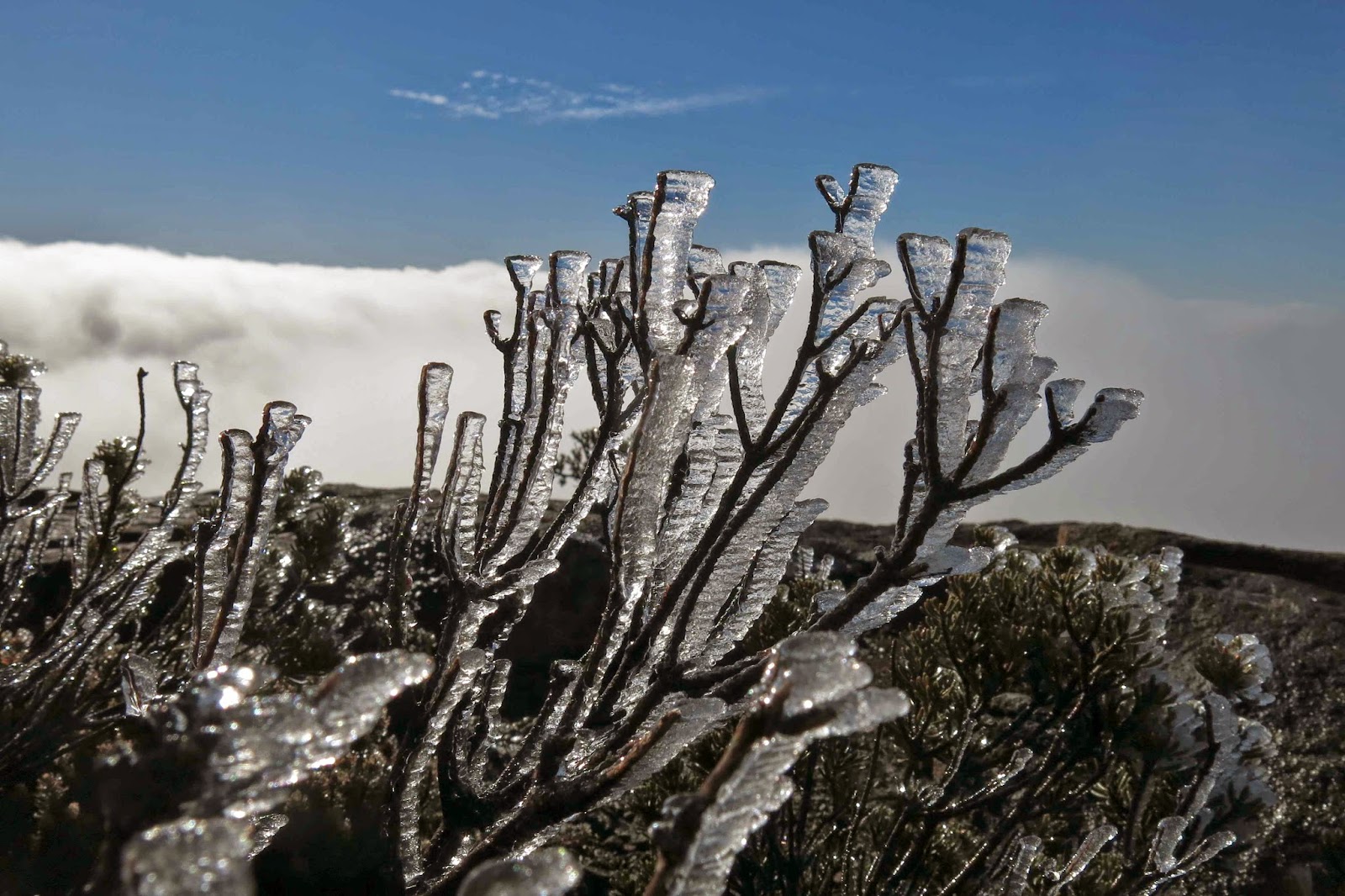
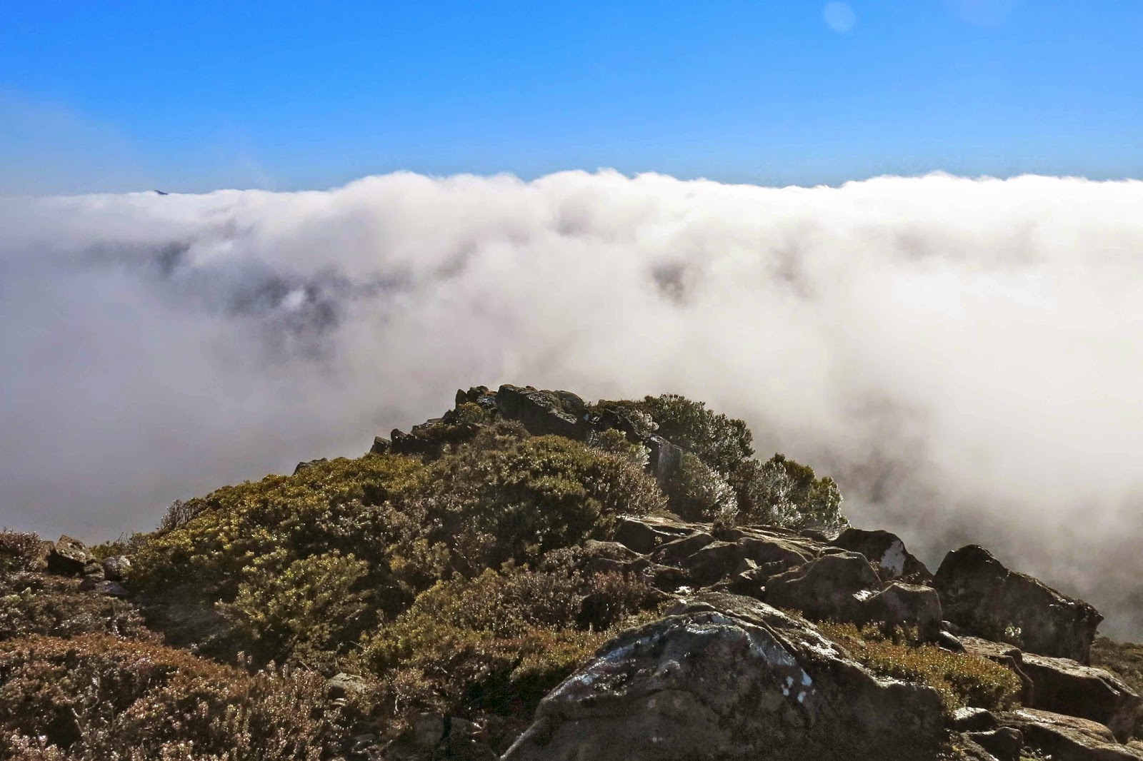
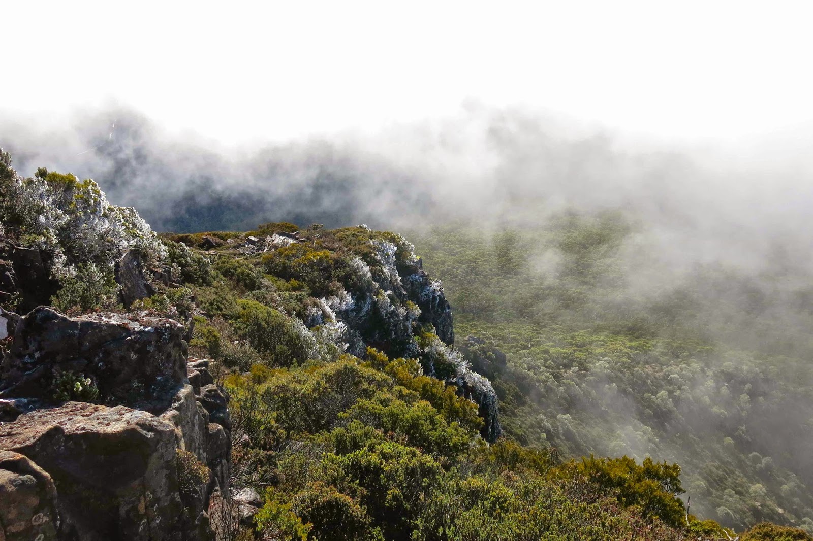
A bit further on, I found and signed the logbook, wondered why you’d stick a book nearly an hour along the track and not at the start, and kept climbing. The top still seemed a long way off – maybe an hour, I thought from there. I was totally shocked when after 23 minutes I took the next step to come almost face to face with moon equipment. There must be some mistake. Was this another false summit like yesterday? No. It was the real thing, and the rocks up there were covered in a sheet of “black ice”, an unofficial skating rink with heavy penalties for misjudgement. Crystals of ice adorned all shrubbery and shone startlingly white against the darker rock or sky. I clutched sharper sections to stabilise myself, but they were too slippery even for hands. I resorted to virtually crawling around up there for safety.

The clouds were rising, thickly this time. Mulligan’s Peak came and went, but in the brief period of visibility, she looked to be a perilous route at this distance. Certainly straight ahead you seemed to be required to nose dive over an ice cliff. I didn’t like the idea of climbing in these conditions, so had a little snack and began a reluctant descent, back to my car. That night I would spend an amazingly cold night on Mt Rufus (see separate post)