Mt Lord 7 May 2016
I was surprised by my own reaction to Angela’s confirmation that she could still climb Mt Lord with me: I was excited to be going on another adventure together. What, you ask, is surprising about that? Well, I’d always thought I went bushwalking to see more beauty and to have a great workout in nature. I had never really thought of what I do as having an adventure per se. But there it was. The meaning of “adventure” is: an unusual, exciting or daring activity. I guess going bushwalking, in that it doesn’t happen every day, is unusual (but not very); it is exciting, as I am out in free nature, taking up the challenges of summiting another mountain. Daring? Well, I guess there’s always an element of slight risk. Whatever the definition, my mind saw it as being a fun adventure, and I just couldn’t wait.
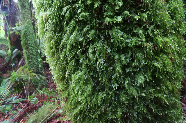
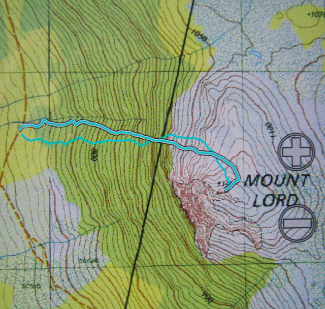
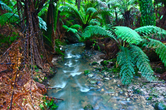
There was a kind of a road sort of thing – maybe used by trucks to turn in – so we hitched a ride for the grand 15 metres it offered us, diving into the thick forest at a spot that perhaps looked more agreeable than the rest. Once in, and past the tangle of young saplings that grew near the source of light, things greatly improved, and we made our way up through the very steep yet pleasant rainforest, marvelling at the extreme size of the stumps that existed, rotting away, in that early part. I reckon it would take 30 Angela-Louises to occupy the surface area of some cuts.
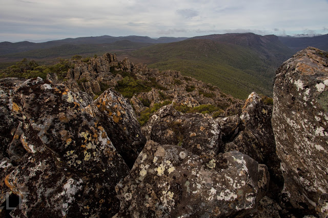
After about an hour we emerged into the inevitable band of Bauera – but, oh joy, no Scoparia – and a jumble of washing-machine sized boulders to negotiate, with the odd buttressy cliff making an appearance.
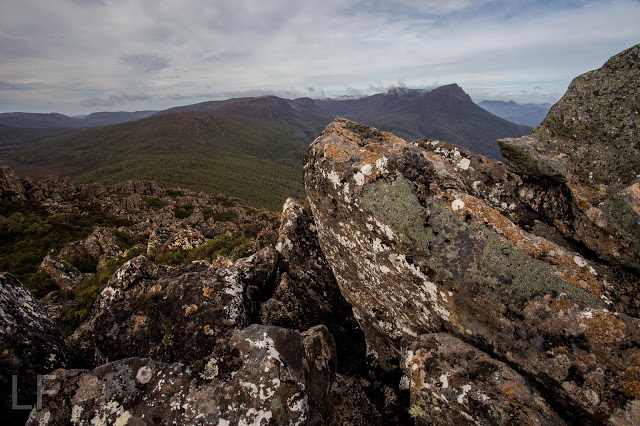
So slippery was it that I couldn’t even be bothered moving around to get a good shot from the summit. The “views” didn’t warrant the effort. It wasn’t quite 11 yet, but we had lunch nonetheless, as we’d carried it up there, and that’s what you do on top of a mountain. It was cold; the views were not great; neither of us is a mad-keen collector of peak bagging points, so, whatever the number attached to Lanes Peak across the way was, it failed to interest us – I also think we are both brewing some virus; we were not feeling fantastic – so we came straight down. One mountain was enough of an adventure for today. After half an hour on top, we began our descent, this time staying nearer to the creek for no particular reason; it’s just where we ended up and we saw no problem with that.
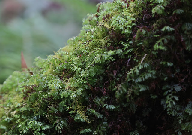
The descent route was more beautiful that the outwards journey, but marginally slower in the endgame, as there were a lot of huge fallen trees, some with diameters over our heads that made climbing over their rich, mossy surfaces next to impossible. There was no room under them either, so a small expedition was required to follow each obstacle to one or other end to get around. I was glad we hadn’t climbed that close to the creek when outward bound, as that procedure might have been depressing. On the descent, knowing the end was nigh, we were not put off at all.

