A mountain may well stand as an objective piece of reality, but our relationship to a mountain is a very subjective thing. Unfortunately I was not feeling well yesterday when I climbed Mt Snowy North, and this feeling has coloured my experience of the mountain. I try to look at it dispassionately, but the dulled mood brought about by a less than healthy body somehow infuses every impression.
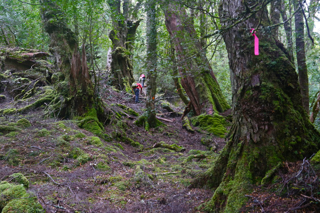
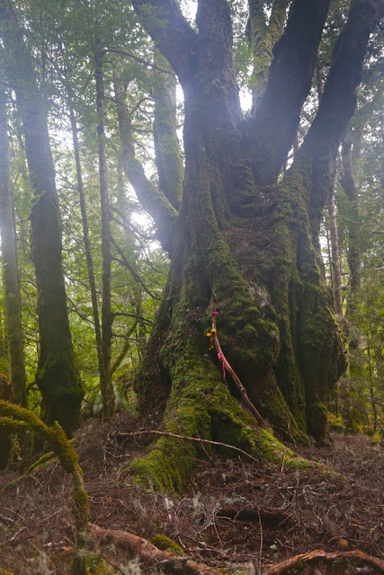
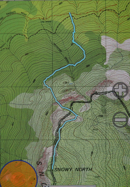
Attempting to view it without my nausea, what do I see? I see magnificent myrtle forest in the lower reaches through which we climbed, not abruptly, to a point where we actually descended for a tiny bit in order to traverse for over a kilometre. I was thrilled to have the chance to remain in the forest longer that this traverse enabled. When looking at the route we were following, provided for me by my friend Murph who had taped it afresh not so very long ago, I had feared this traverse would be in the scrub band, so was pleasantly surprised. In this section there were some very grand old myrtles with huge bellies, ancient drunkards, bulging. Everything was covered in moss; lush green was the dominant colour. At the end of the traverse, it was, of course, time to climb again. At this point, we noticed a ribboned trail going steeply downhill to our right – the other route up the mountain that is shorter (more direct) and steeper than our route. As I love myrtle forest, I was glad to have spent more time in it than that other route would have allowed.
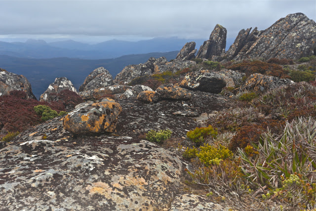
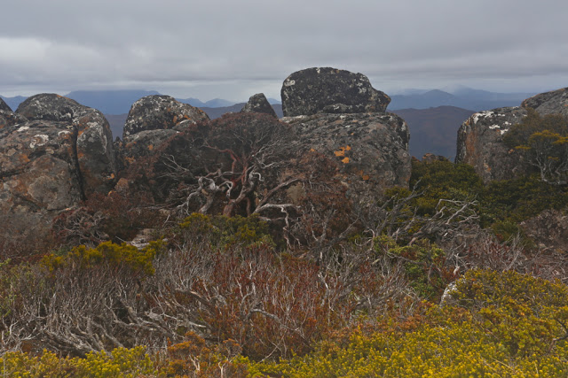
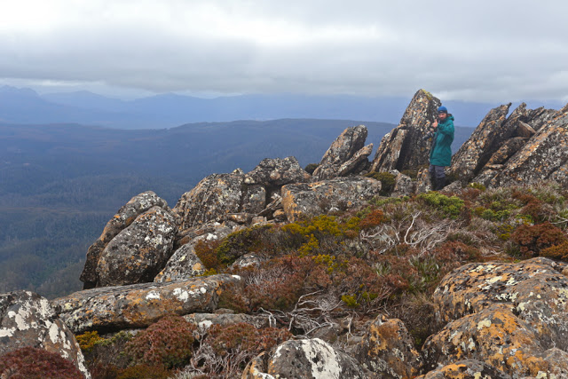
The summit was still over a kilometre away (33 minutes from where we were), and this was, luckily, enough time to allow a few of the more energetic of the surrounding clouds to move away and give us a rather attenuated view. We could see that mountains were around us, but they were rather blurry and smudgy. I had the feeling that, even on a good day, we were not exactly enough in the centre of action on this mountain to get superb views anyway. Perhaps I’m just jaded.
The trip up having been quite steep, the trip down was good and fast. I got good practice in reuniting myself with my orangutang past, swinging gaily from limb to limb as I descended. Several of the party had rather filthy derrières, having chosen a different method of descent.
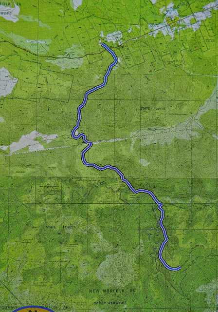
Should you want to do this trip in a hurry, I can report that, thanks to the efforts of our group, the road to the start is now clear of all the many fallen trees that blocked it until yesterday. Thanks to bushwalkers, our forest roads are remaining kind of open. Below is a map of the route we drove in past Maydena to get to the start. We parked at the locked gate on the map (so, a bit further than the line below would imply), and then walked no more than 300ms to the cairn that marks the start of the taped route in. Tapes in the first few hundred metres are not frequently placed. There are some triangular bits of orange plastic early on.

