Mt Zeehan, Mar 2017. Tarkine trip, day 1.
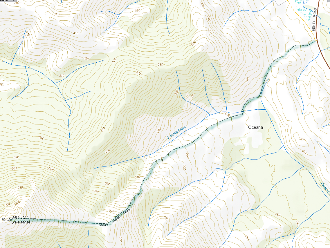
We drove 3 hours 15 mins from Launceston (plus a petrol stop), to reach the start of the Mt Zeehan track, which lies 3 kms south of Zeehan, on the Zeehan-Strahan road. It begins on 4WD track which is on the right (western) side of the road travelling in the direction of Strahan. After that quite long drive, I was itching to do the enticing-looking climb. The 4WD track that one follows – on foot; it is pretty rough – continues as far as a kind of dug-up, worked-over area, after which it morphs into a narrow path. Just before a cleared area, which could be confusing due to all the mess of “roads” and worked-over ground, the “road” you have been following forks. There is, at this stage of writing, a somewhat faded pink tape on the left of this Y. Take the right-hand option, into the mess and out the other side. Your path is the one heading for the mountain, which (on a fine day) is very clearly visible in front of you, slightly right.

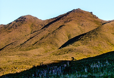
Once the narrow track begins, the climb is quite satisfyingly steep (for those who love a good climb), through – as the picture above indicates – fairly open ground, until a saddle is reached. Although it is, indeed, fairly open, my husband succeeded in “mislaying” the track about a third of the way up. He just sat where he was and waited. Because it was so open, I could see his bright red T-shirt from near the top, so knew where to start looking for him. He knew I’d rescue him, so ate his lunch and dreamed a bit.
If he hadn’t lost the track there, he would have lost it in the saddle, for sure, as the flat area there is rather indistinct in terms of the track, and the vegetation gets a little taller. I’m glad he got mislaid in an area in which it was easy to spot him. Meanwhile, I was having fun getting in a bit of a workout, so just went up and down fairly quickly in order to both have some decent exercise for the day, and to return to him. The top was very, very windy, and most unpleasant – not worth a photo at all, the sea just being a hazy blur on this particular day. I’m sure that on other days, the vista would be marvellous. It never pays to climb a mountain in midday glare. I was the servant of another agenda on this day, so had no choice.
In its current state, I would not recommend this track for families, which is sad, as about 1-2 hours of secateur work would make it far more user friendly. Without that, however, any child under about twelve would have bush in its face for most of the second half of the climb, as the bushes have grown together over the track, and are at about the height of a primary school child. One climbs 600 ms in around 3kms (one way), so this is definitely a steep track.
The three hours return which is recommended is more than likely to be a good estimate for most people.

